16th July 2009 - A Grasmoor group wander
Walk Details
Distance walked: 9.8 miles
Total ascent: 4064 ft
OS map used: OL4 - The English Lakes, North-western area
Time taken: 7 hrs
Route description: Lanthwaite Green-Whin Ben-Whiteside-Hopegill Head-Sand Hill-Coledale Hause-Grasmoor-Crag Hill-Wandope-Whiteless Pike-Rannerdale-B5289-Lanthwaite Green
This was the last day of my stay in the Lakes and I'd bagged the Wainwrights that I'd planned to do, so I decided to do a walk that included some of my favourite tops in the area. It was a cloudy day to finish with but at least it did stay dry.
I parked at Lanthwaite Green and then set off to climb my first fell of the day, Whiteside. From Whiteside's summit I walked along the ridge to Hopegill Head and then from there across Sand Hill and down to Coledale Hause and then upto the summit of Grasmoor. After Grasmoor I decided to head across to Crag Hill and then from there the short walk to Wandope. I now had to decide on my route back down, so I went for, down Whiteless Edge to Whiteless Pike, through Rannerdale and back along the road to the start.
Route map
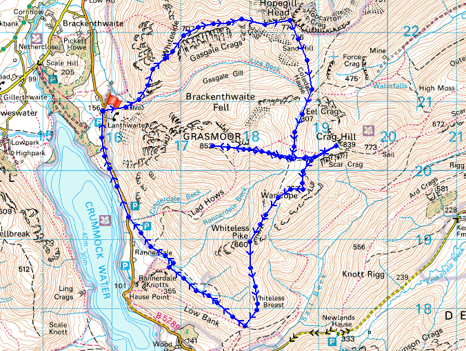
© Crown copyright. All rights reserved. License number PU 100034184.
Mellbreak and Crummock Water from Whin Ben on the climb up Whiteside
Low Fell and Fellbarrow from Whin Ben
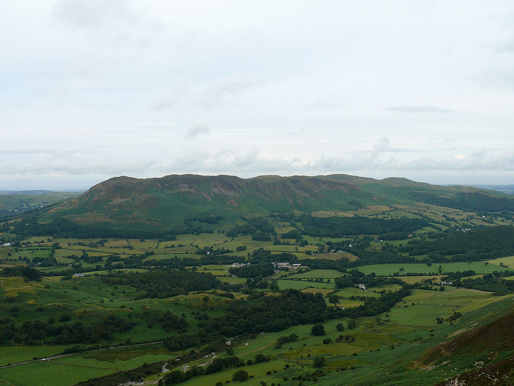
Loweswater and the Loweswater fells
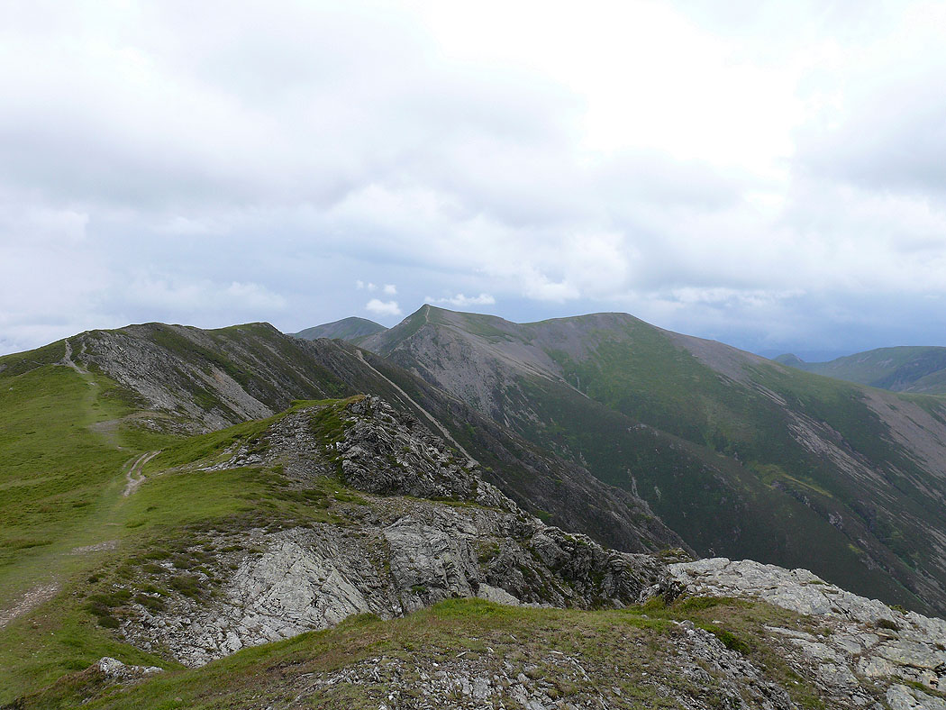
On Whiteside and the view along the ridge to Hopegill Head
and down to Loweswater, Low Fell and Fellbarrow
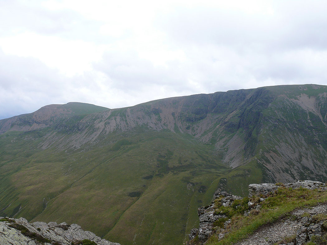
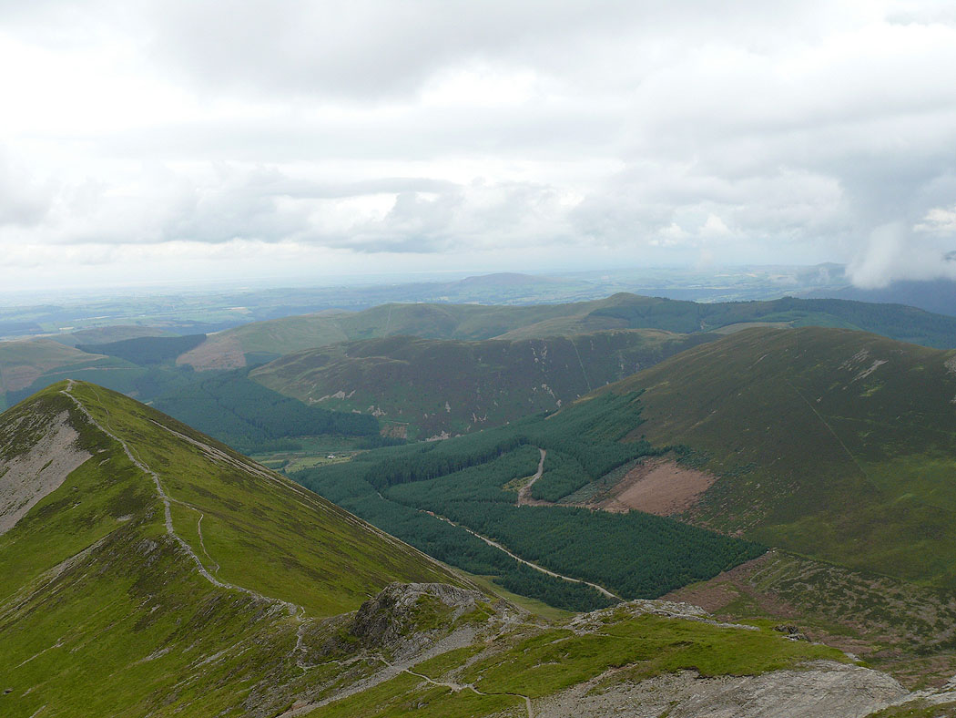
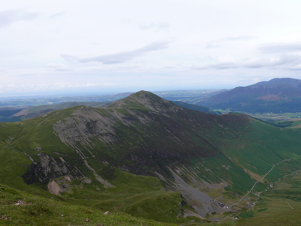
Crag Hill on the left and Dove Crags on Grasmoor across the valley of Gasgale Gill
On the summit of Hopegill Head. Grisedale Pike to the right with Skiddaw behind in cloud.
Ladyside Pike on the left and the Whinlatter fells on the right
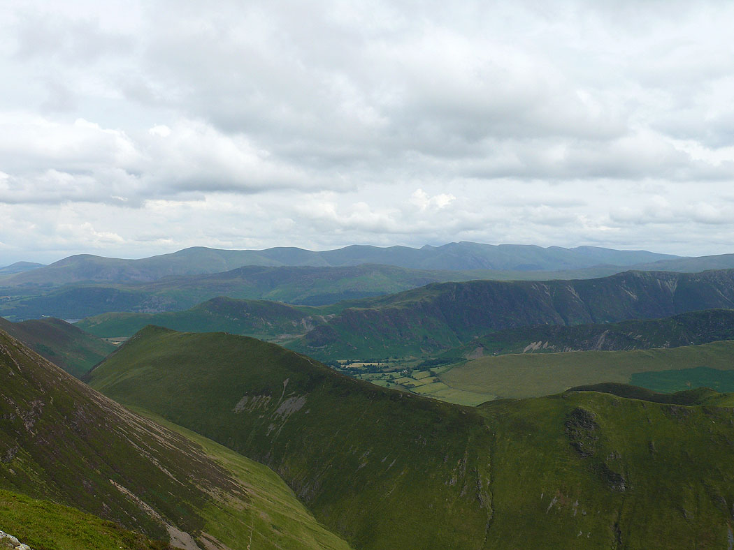
Causey Pike and Scar Crags across Hobcarton Crag
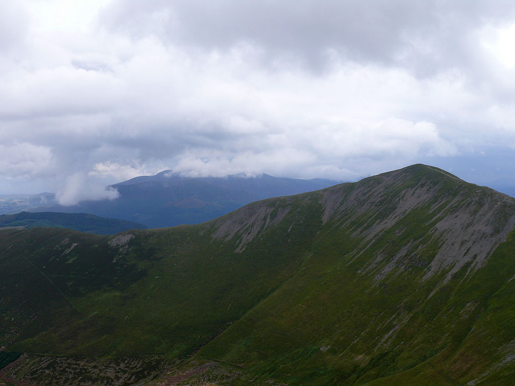
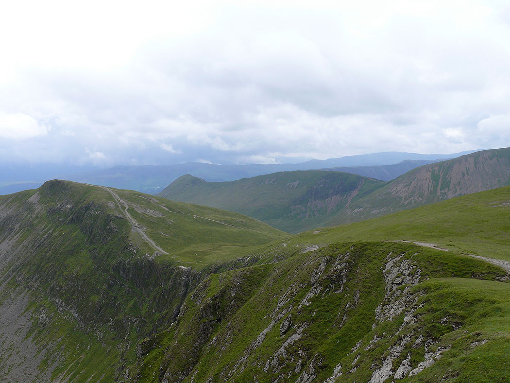
Looking back along the ridge to Whiteside with the Loweswater fells in the background
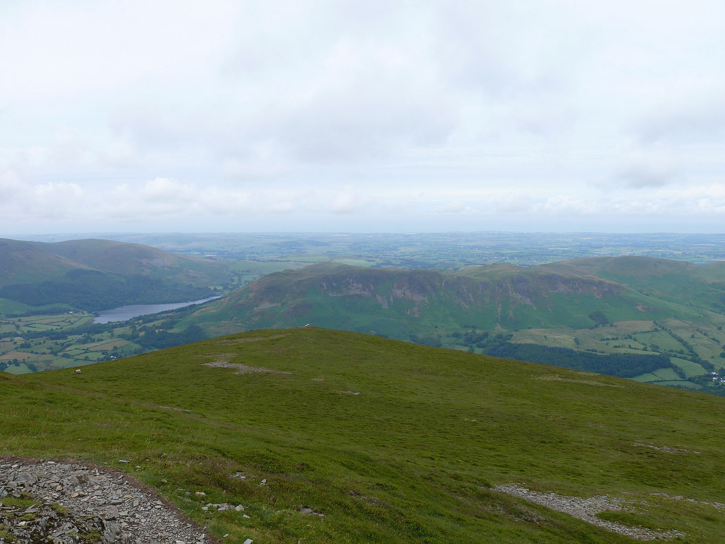
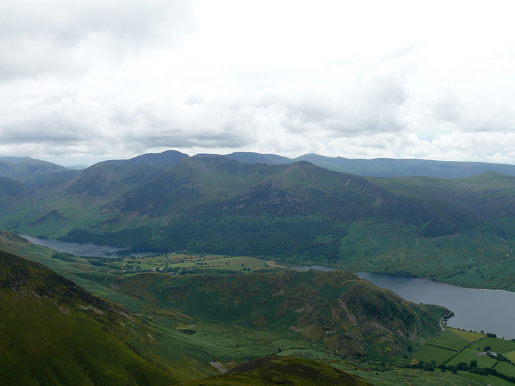
On the summit of Grasmoor. Low Fell and Fellbarrow below.
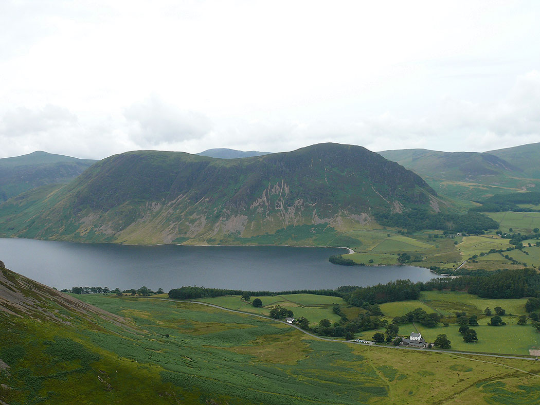
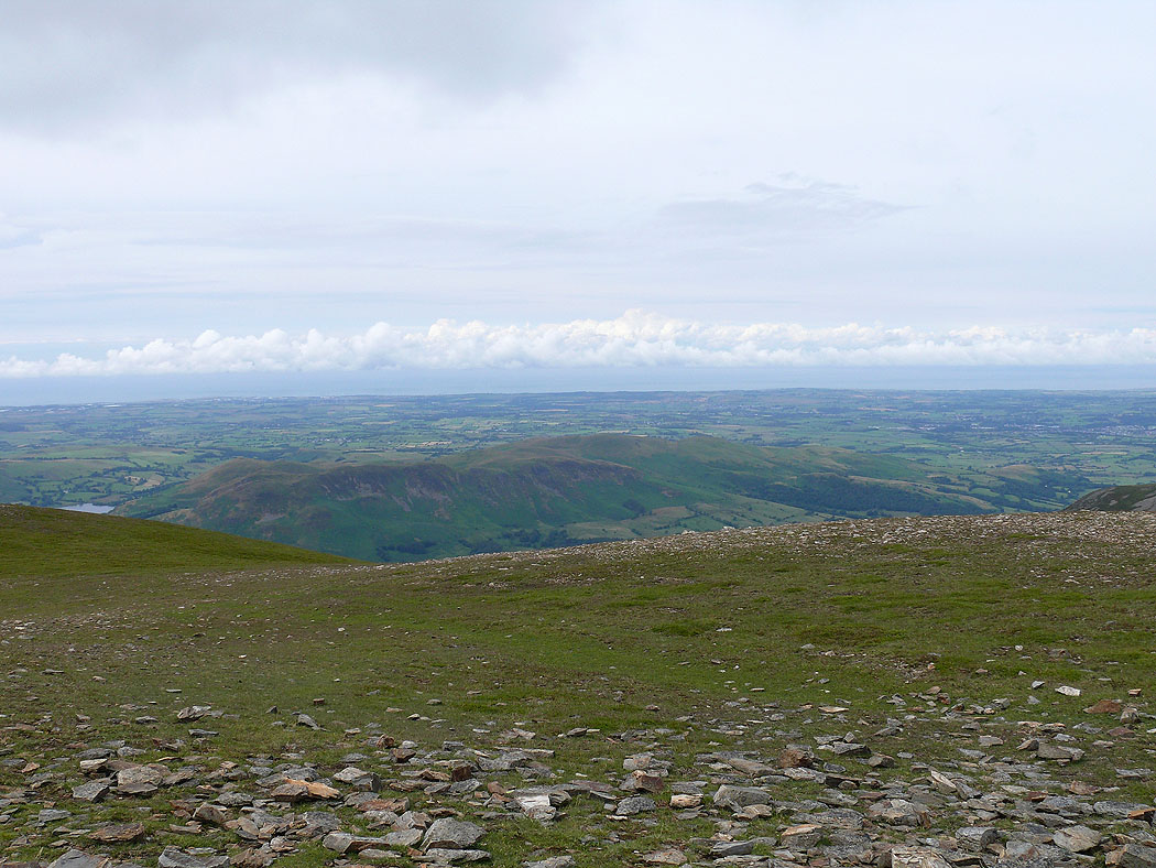
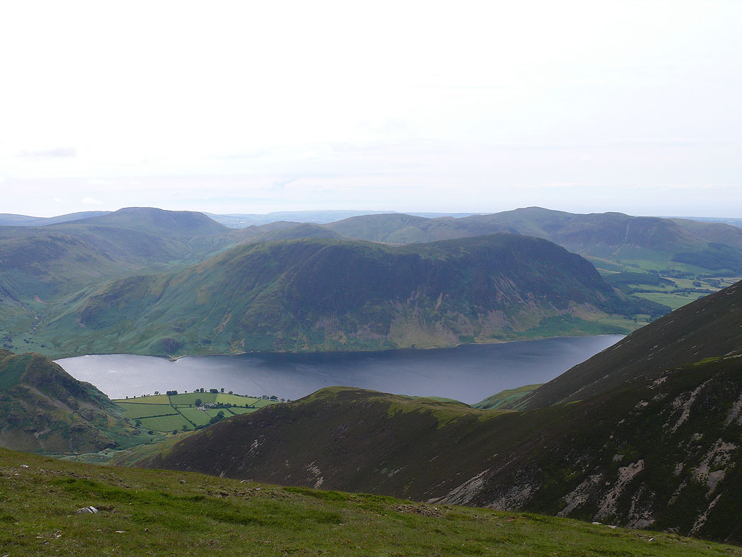
Blake Fell, the highest of the Loweswater fells on the right and the two tops of Mellbreak below on the left.
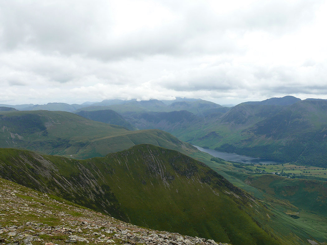
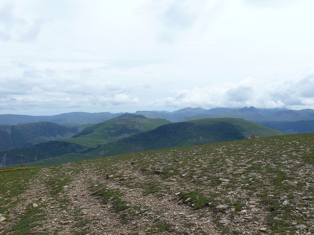
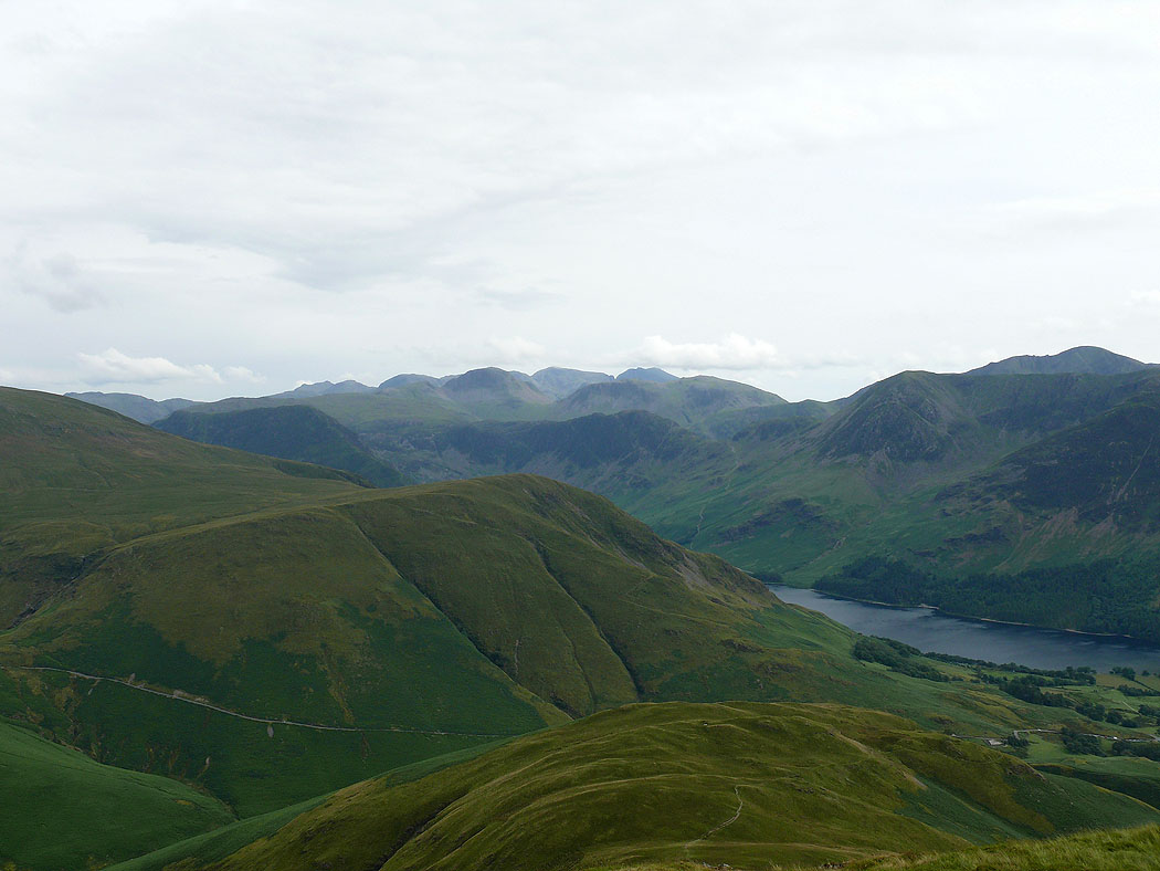
Over Whiteless Pike to the Scafells under cloud
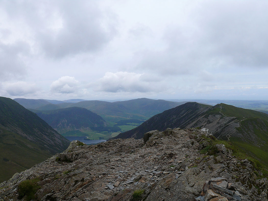
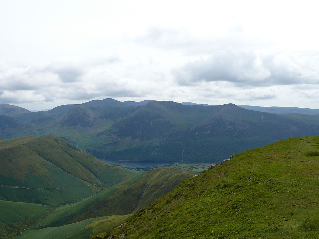
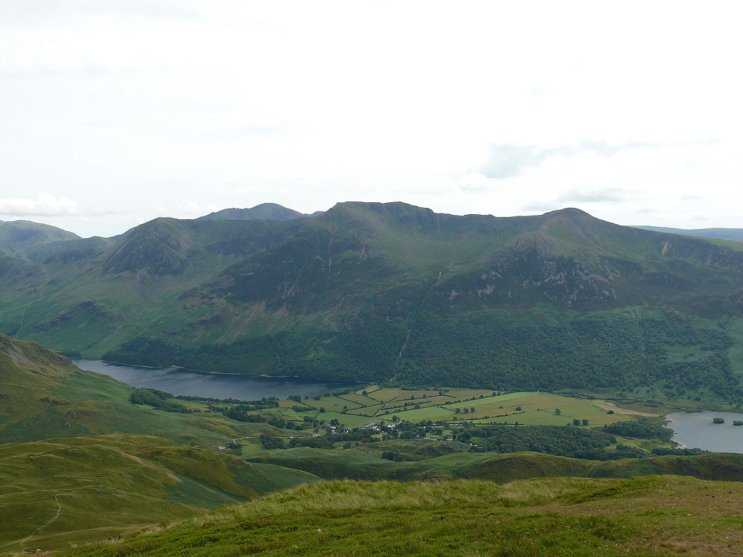
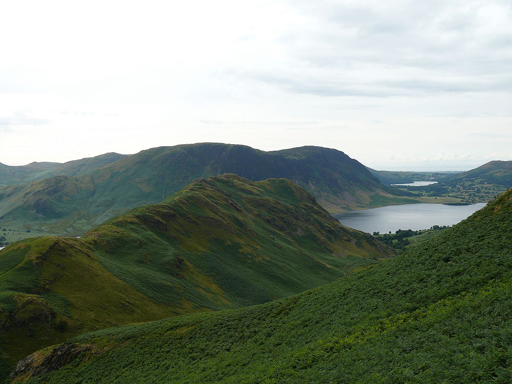
The view over Buttermere to the High Stile range with Pillar behind. The small fell below is Rannerdale Knotts.
Ridges into the distance through the col between Crag Hill and Wandope
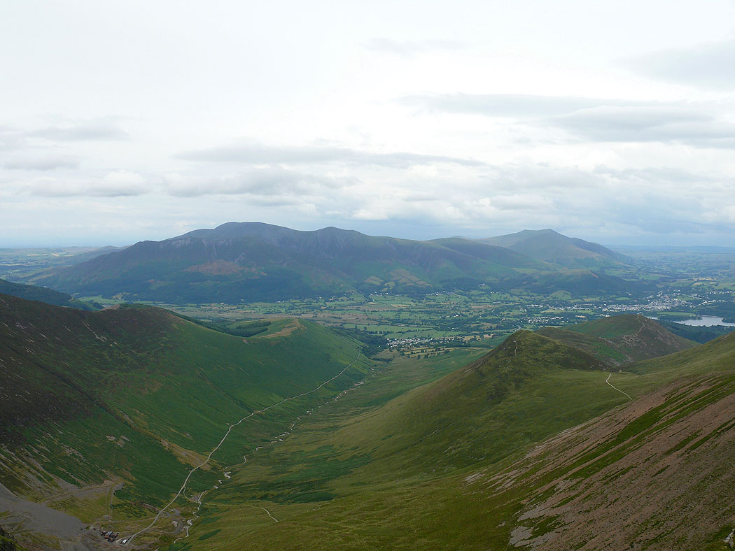
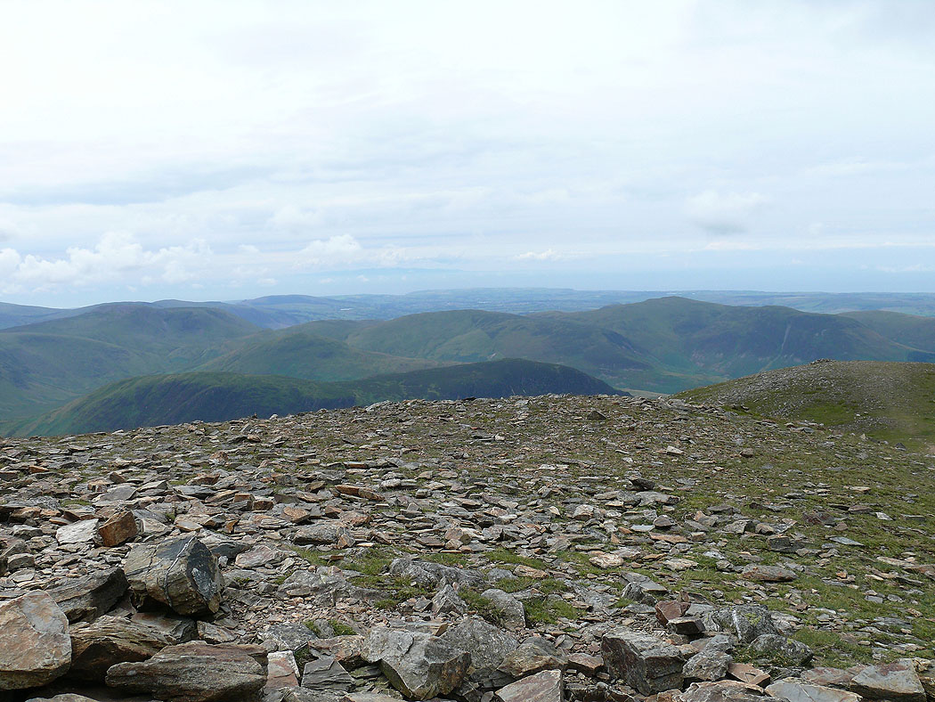
I've made it to the summit of Crag Hill. The view down Coledale to Skiddaw and Blencathra.
Grisedale Pike
The ridge of Sail to Causey Pike
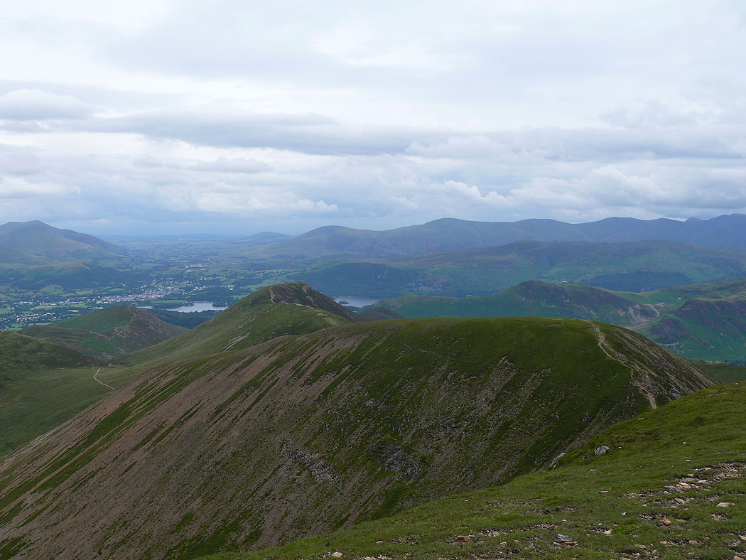
The view over Sail to a distant Helvellyn range, with Cat Bells and High Seat in-between
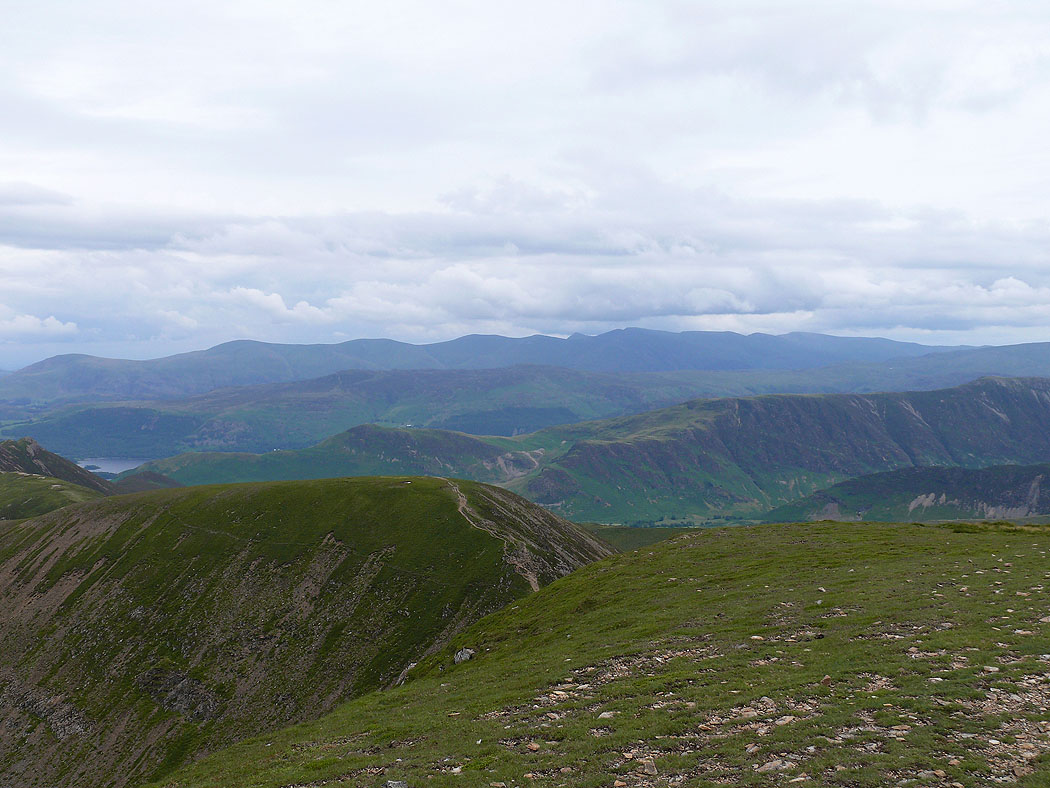
Dale Head, Hindscarth and Robinson with the Scafells in cloud on the right
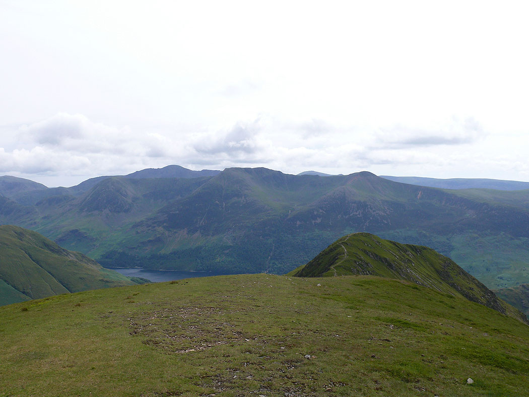
On the summit of Wandope. Knott Rigg is the fell below on the left with the higher Robinson behind.
High Crag, High Stile and Red Pike with Pillar in the background
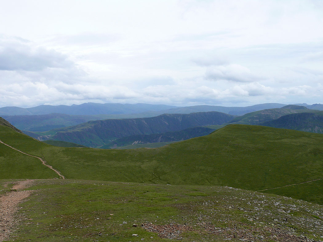
Ridges as far as the eye can see
A couple of shots from Thirdgill Head Man before I head to Whiteless Pike. Crummock Water, Mellbreak and the Loweswater fells.
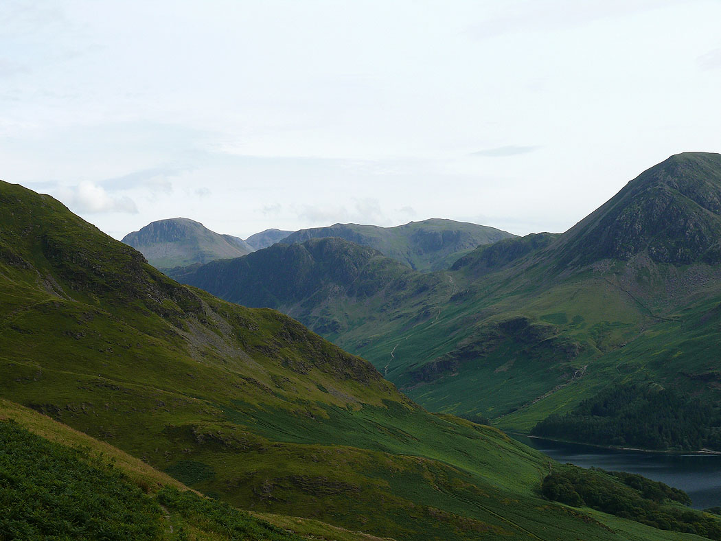
Pillar and the High Stile range
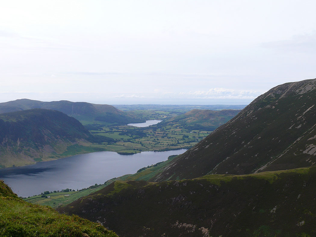
On my final summit of the day, Whiteless Pike. The view across Crummock Water to Loweswater.
Mellbreak with Blake Fell behind
High Crag, High Stile and Red Pike
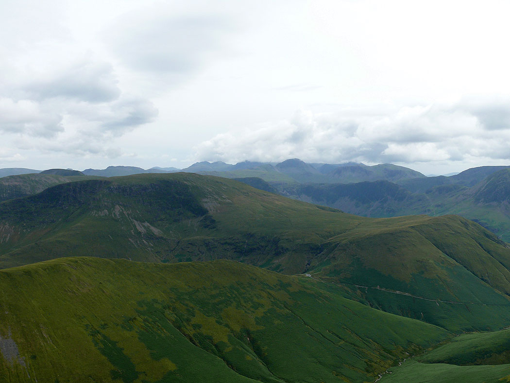
The cloud has finally lifted from the Scafell range
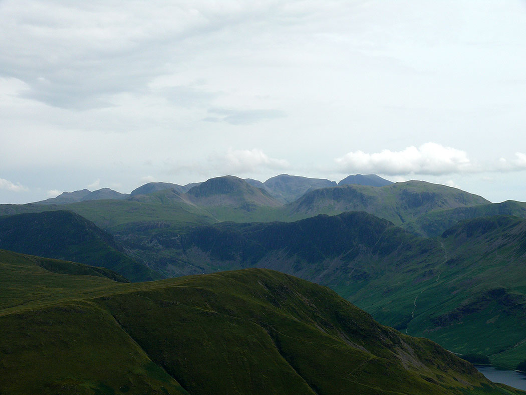
Left to right on the skyline; Bowfell, Esk Pike, Great End, Great Gable, Scafell Pike and Scafell. Fleetwith Pike and Haystacks are the dark fells in the middle distance with Kirk Fell behind Haystacks.
Great Gable and Kirk Fell behind Haystacks
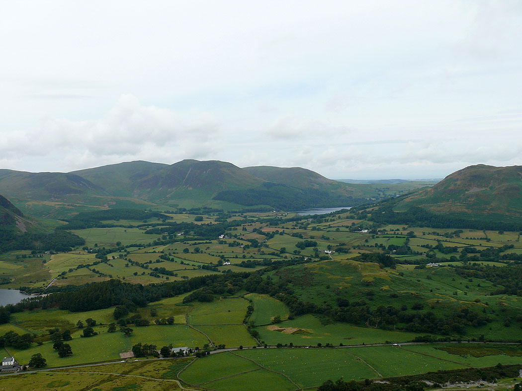
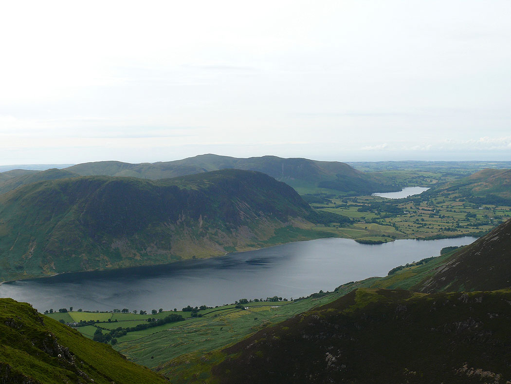
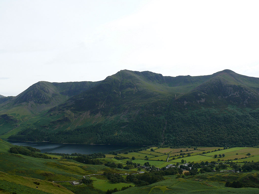
Mellbreak behind Rannerdale Knotts. My route continues down the valley of Rannerdale on the right.
My final shot of the day across Buttermere to High Crag, High Stile and Red Pike