16th July 2021 - Cracoe Fell
Walk Details
Distance walked: 13.8 miles
Total ascent: 2028 ft
OS map used: OL2 - Yorkshire Dales, Southern & Western areas
Time taken: 8 hrs
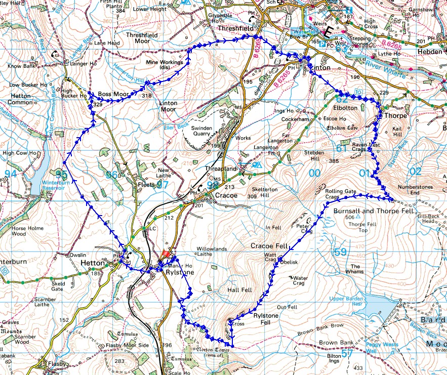
Route description: Rylstone-Raikes Lane-Hetton-Moor Lane-Boss Moor Lane-Boss Moor-Backstone Edge-Moor Lane-Tarns Lane-Linton-Thorpe Lane-Thorpe-Burnsall Fell-Cracoe Fell-Rylstone Cross-Rylstone
I've booked today and Monday off work to make it a long weekend, and there's some fine summer weather in the forecast, today being no exception. For today's walk I decided to drive the short distance to Rylstone in the Yorkshire Dales, which the Skipton to Grassington road passes through, and do a route that would take me up onto Cracoe Fell, which is part of Barden Moor. I've walked along this edge of Barden Moor several times and it offers great views from its gritstone crags on a fine day. However, to make a full day of it I needed to add some mileage, so I included the moorland to the north of Hetton and Cracoe before heading for Linton and Thorpe to make my ascent of Cracoe Fell. The forecast proved to accurate, and it was a warm summer's day with plenty of sunshine and a brisk breeze up on the moors, which was most welcome.
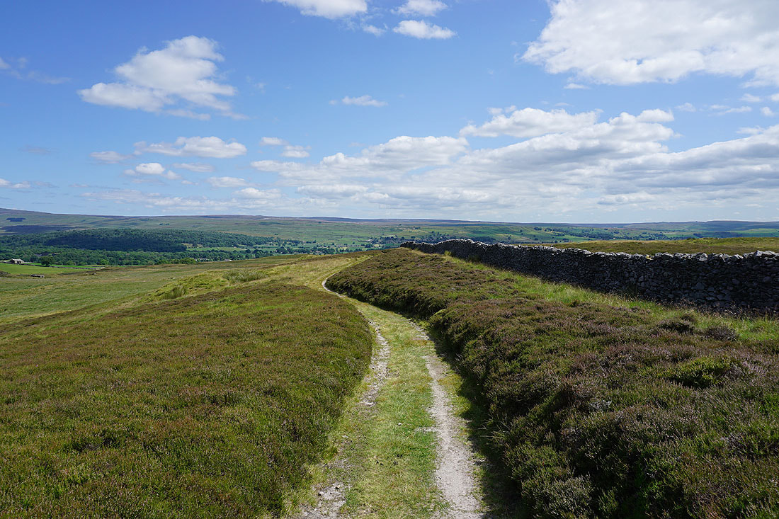
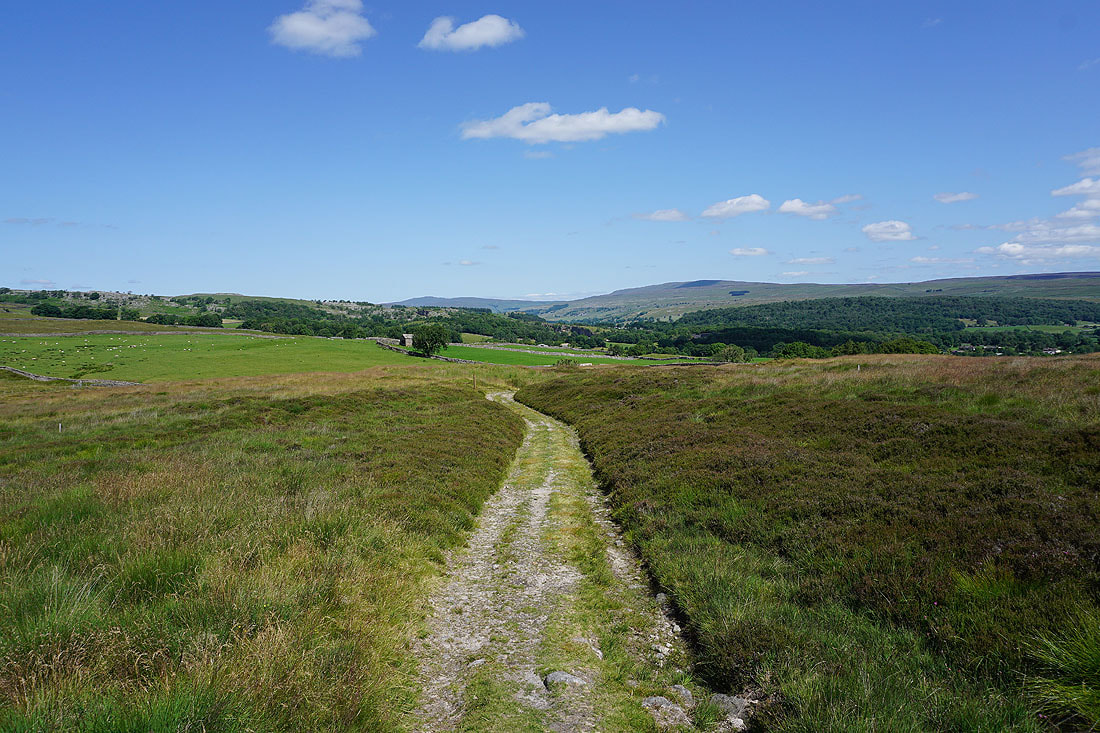
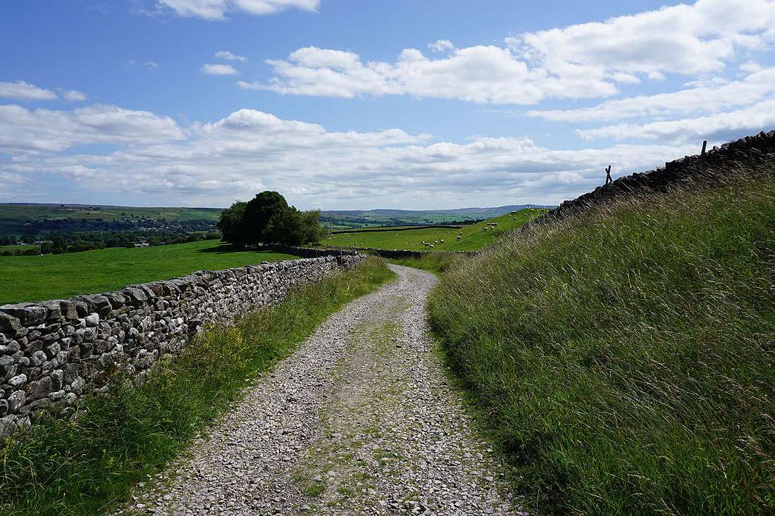
After parking in the layby on the B6265 through Rylstone I took Raikes Lane towards Hetton, leaving this for the bridleway on the left when I passed beneath the railway bridge. When I arrived in Hetton I turned right and walked along the road past The Angel Inn and took the track of Moor Lane on the left, signposted for Weets Top. I followed this north until I reached a junction of bridleways above Winterburn Reservoir, where I took the bridleway up to Boss Moor Lane. After crossing Boss Moor Lane I took the track across Boss Moor, and then along Backstone Edge and down to the western end of the track of Moor Lane. I then walked down Moor Lane to Tarns Lane, which I crossed for the footpath opposite, and followed this east to Well Lane and into Linton. After having my lunch sat on a bench under a tree by the village green, I resumed my walk by leaving Linton on the road to Grassington, but soon left this for a lane on the right, and then this for a footpath on the right signposted for Thorpe Lane. I followed this path southeast across fields to Thorpe Lane, turned left and then walked along Thorpe Lane to its end, turned right and walked down Kail Lane into the village of Thorpe. I kept right when I reached the village green and walked south along the lane to its end, and then took the track up the hillside, and then path to reach Burnsall Fell and the shooting hut by the track along its edge. I then made my way west along the track to its end, and from there followed the path to the war memorial on Cracoe Fell. After taking in the view I made my way southwest along the edge of the moor, keeping on the western side of the wall to reach Rylstone Cross, then from there crossed the stile over the wall and followed the path down to the bridleway from Rylstone across Embsay Moor. I turned right and followed the bridleway down to St. Peter's Church and then back into Rylstone.
Route map
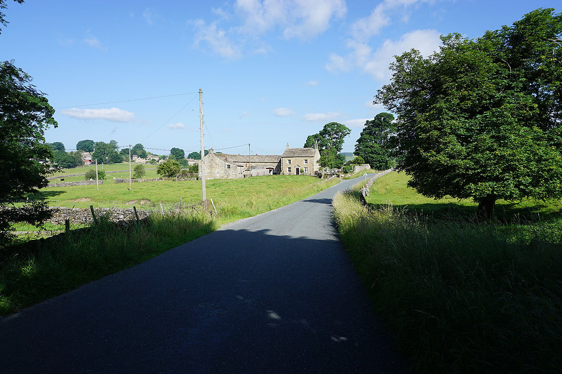
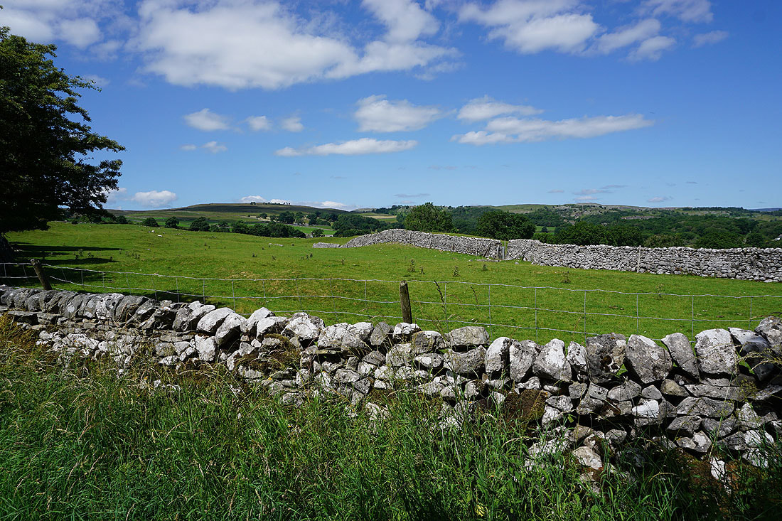
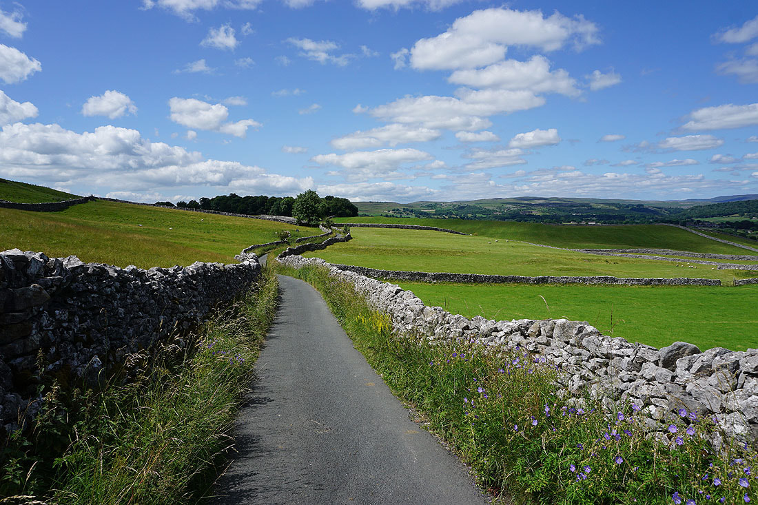
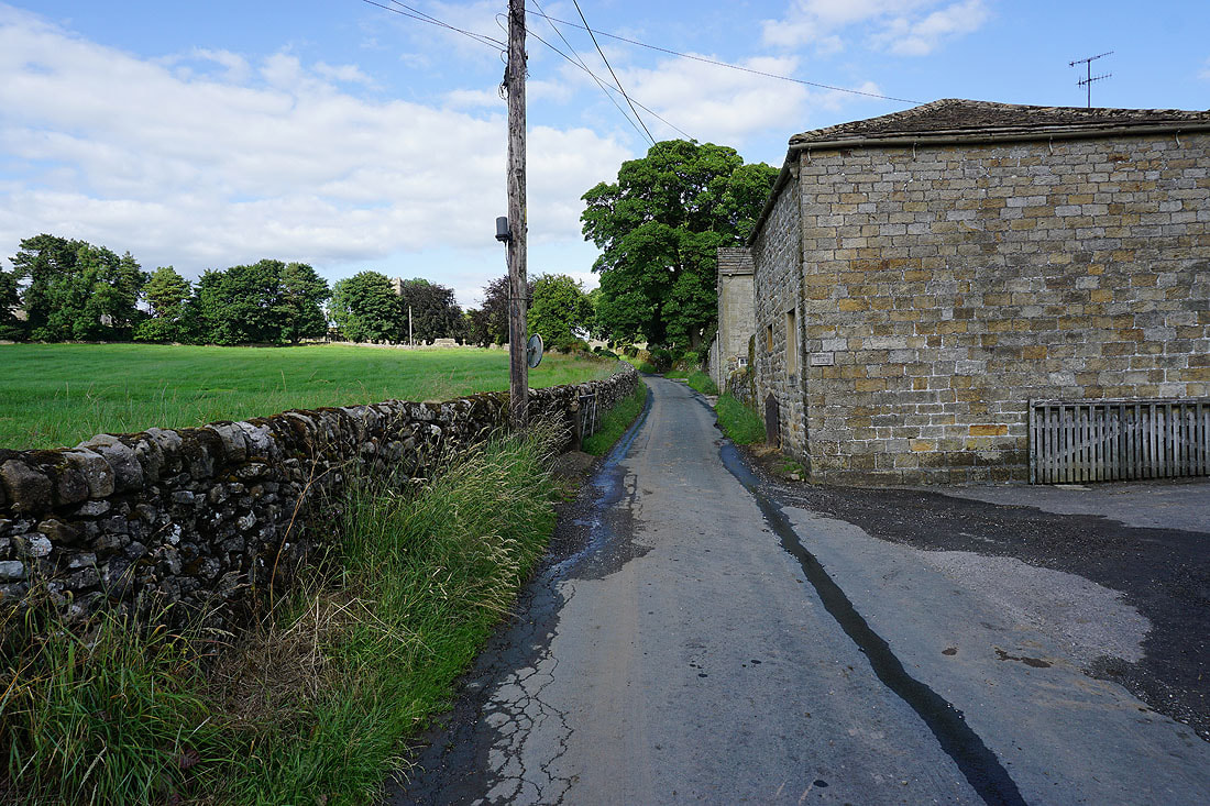
On Raikes Lane from Rylstone to Hetton. Not for long though, I left it here for the bridleway.
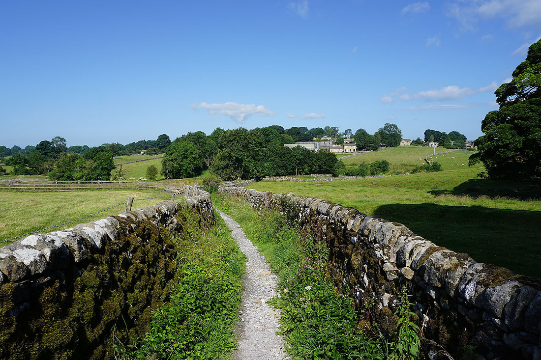
On the bridleway from Raikes Lane to Hetton
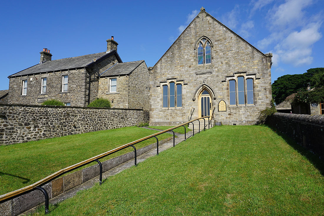
The Methodist Church in Hetton
Leaving Hetton on the track of Moor Lane
To my left I can make out Weets Hill and Pendle Hill in the distance
Looking back down Moor Lane to Rylstone Fell
The track of Cross Lane meets Moor Lane with Flasby Fell in the distance on the left
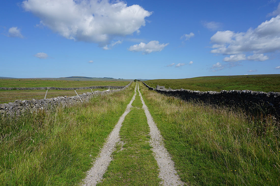
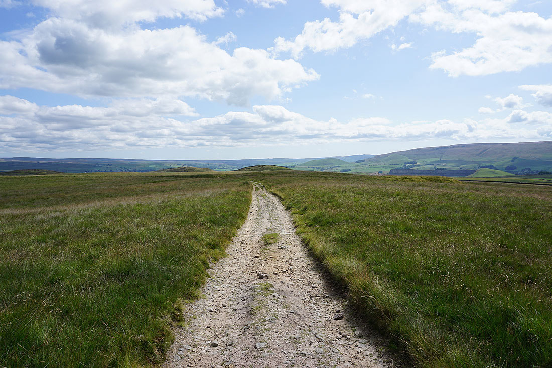
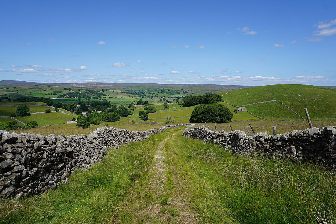
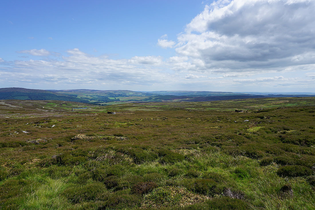
Heading north up Moor Lane to Boss Moor
Looking back down Moor Lane with Rylstone Fell on the left and Flasby Fell on the right
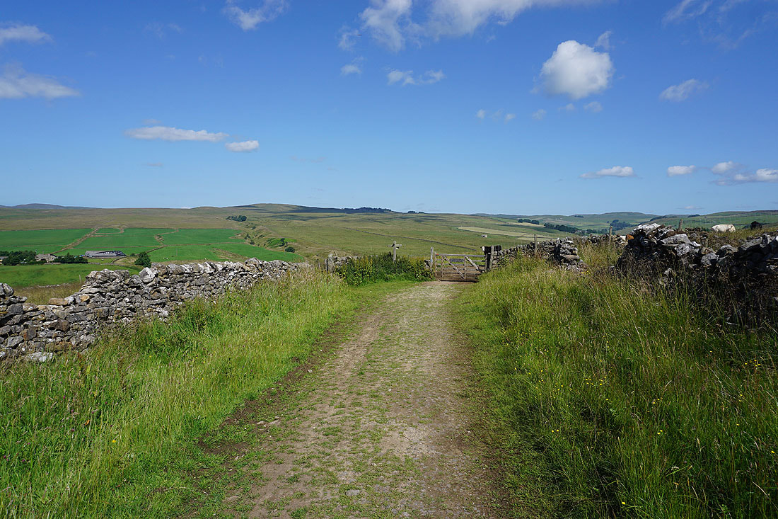
At top of the track of Moor Lane. I'll turn right here and take the bridleway up to Boss Moor Lane.
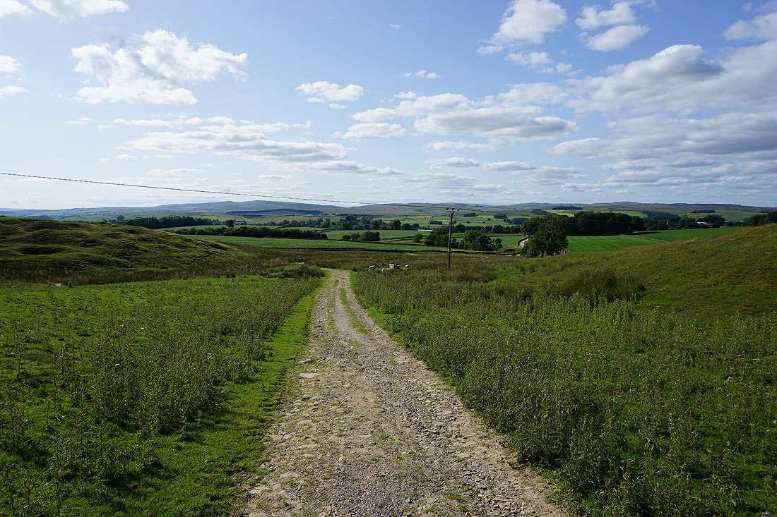
Looking back to Pendle Hill in the distance as I head up the bridleway to Boss Moor Lane
To my left, Hetton Common on the other side of the valley of Hetton Common Beck
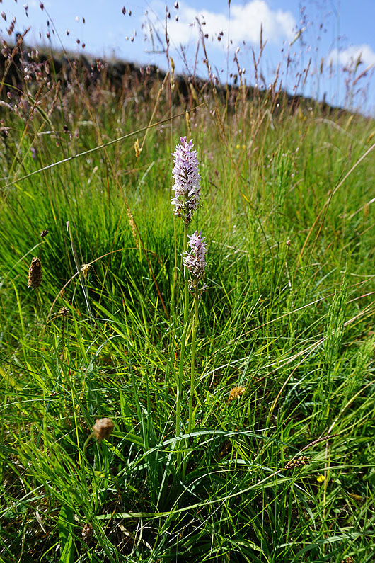
Common Spotted Orchids
Looking back to Flasby Fell in the distance as I near the top of Moor Lane
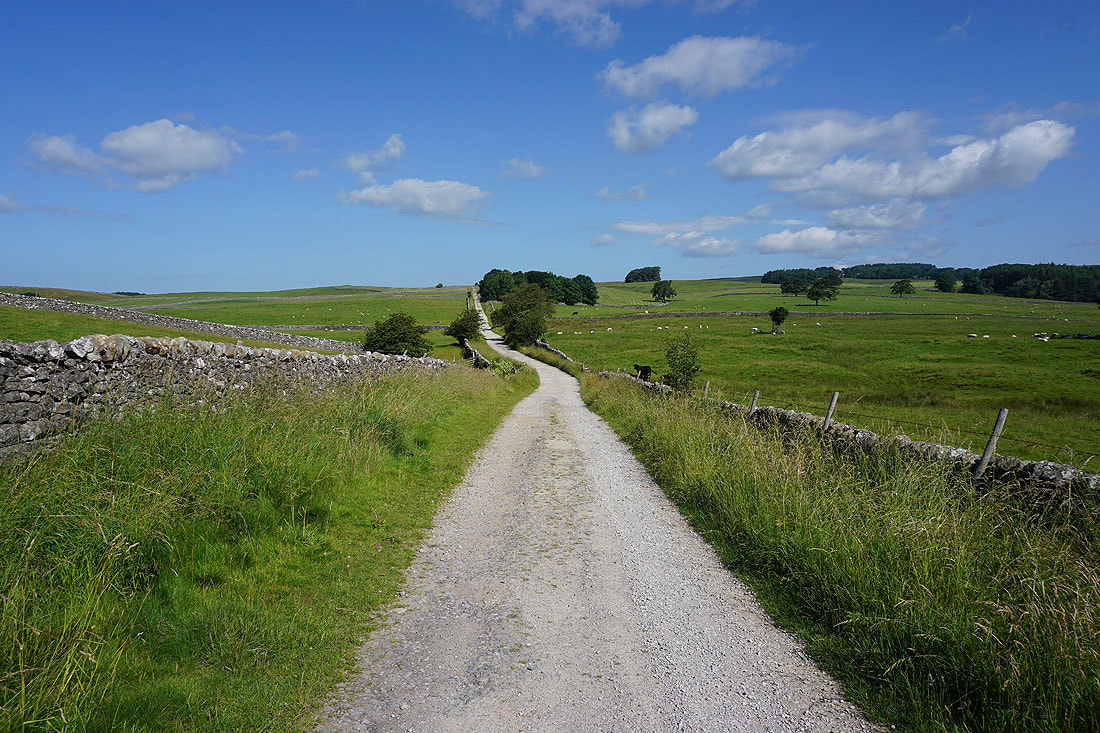
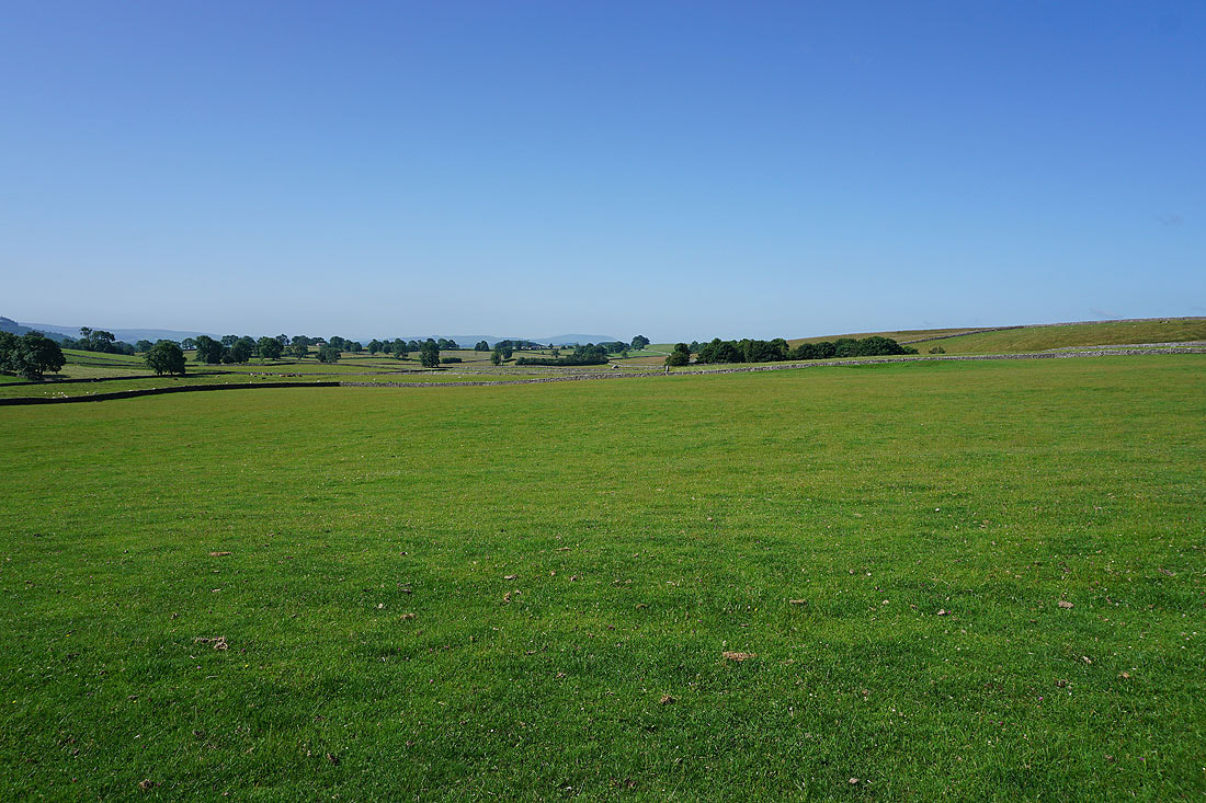
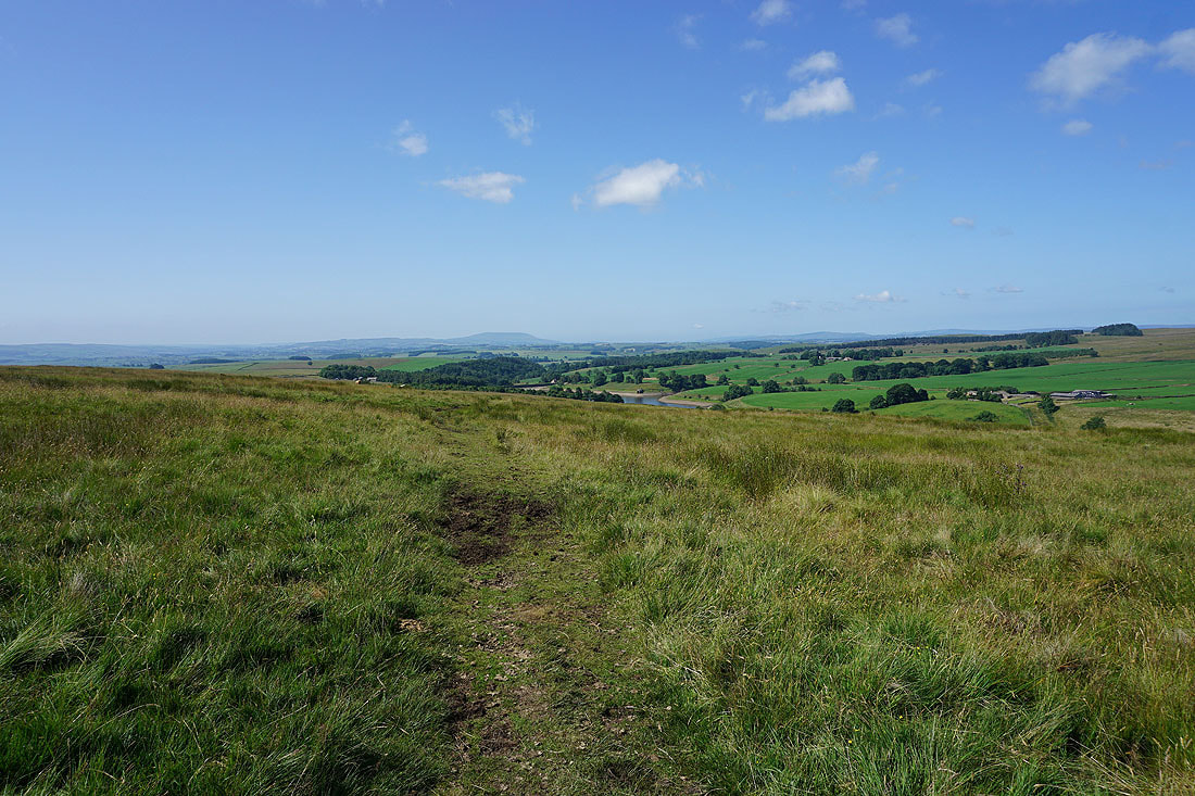
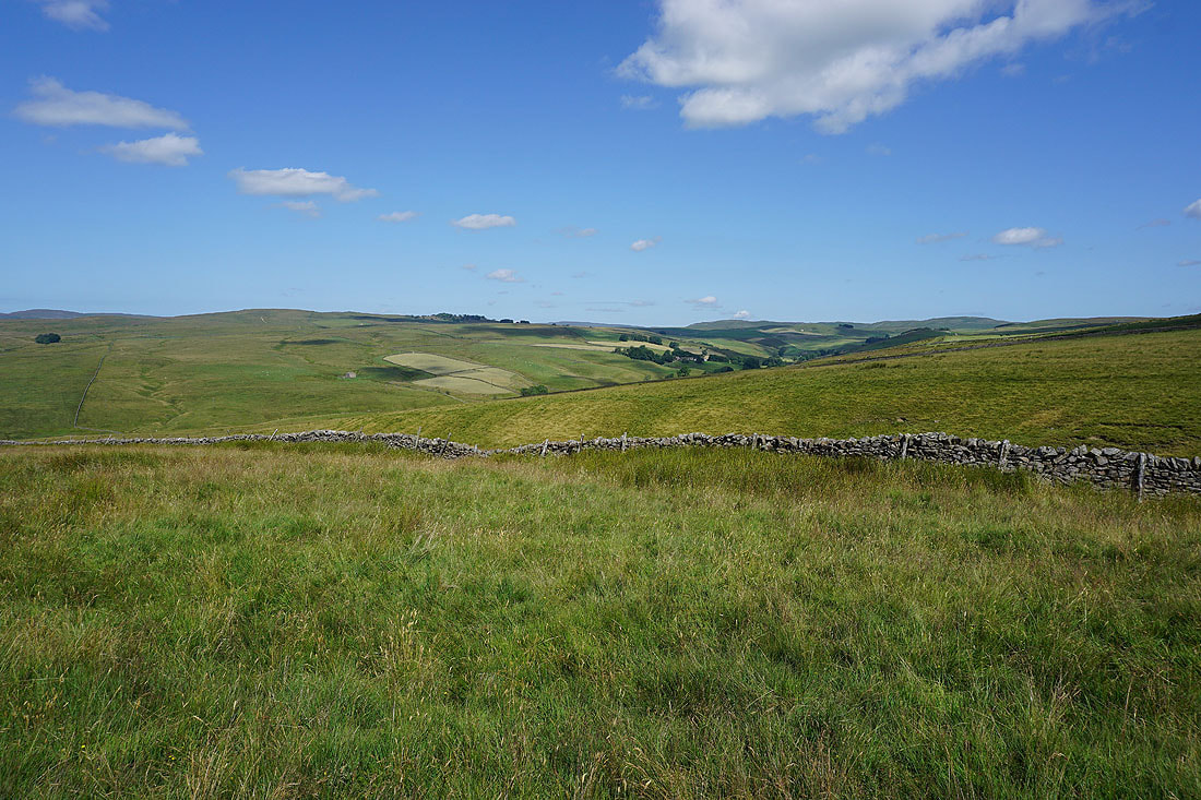
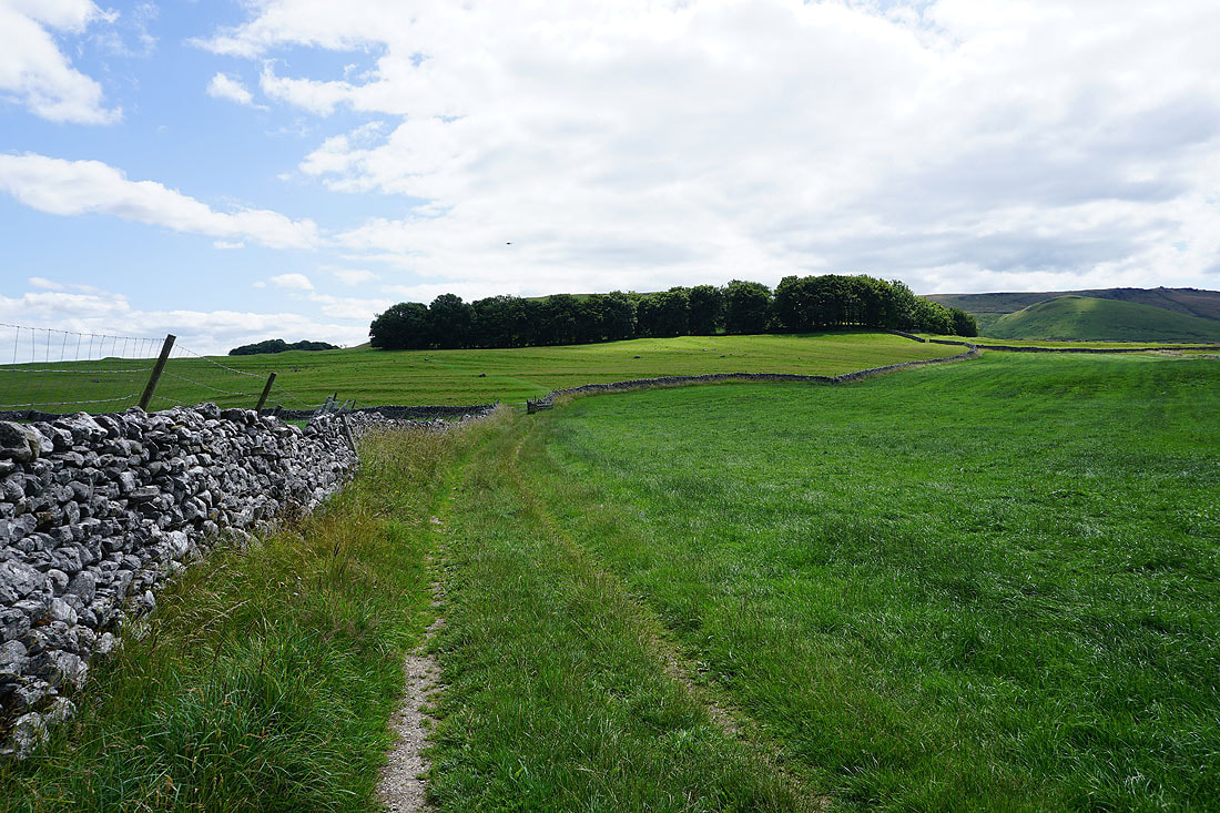
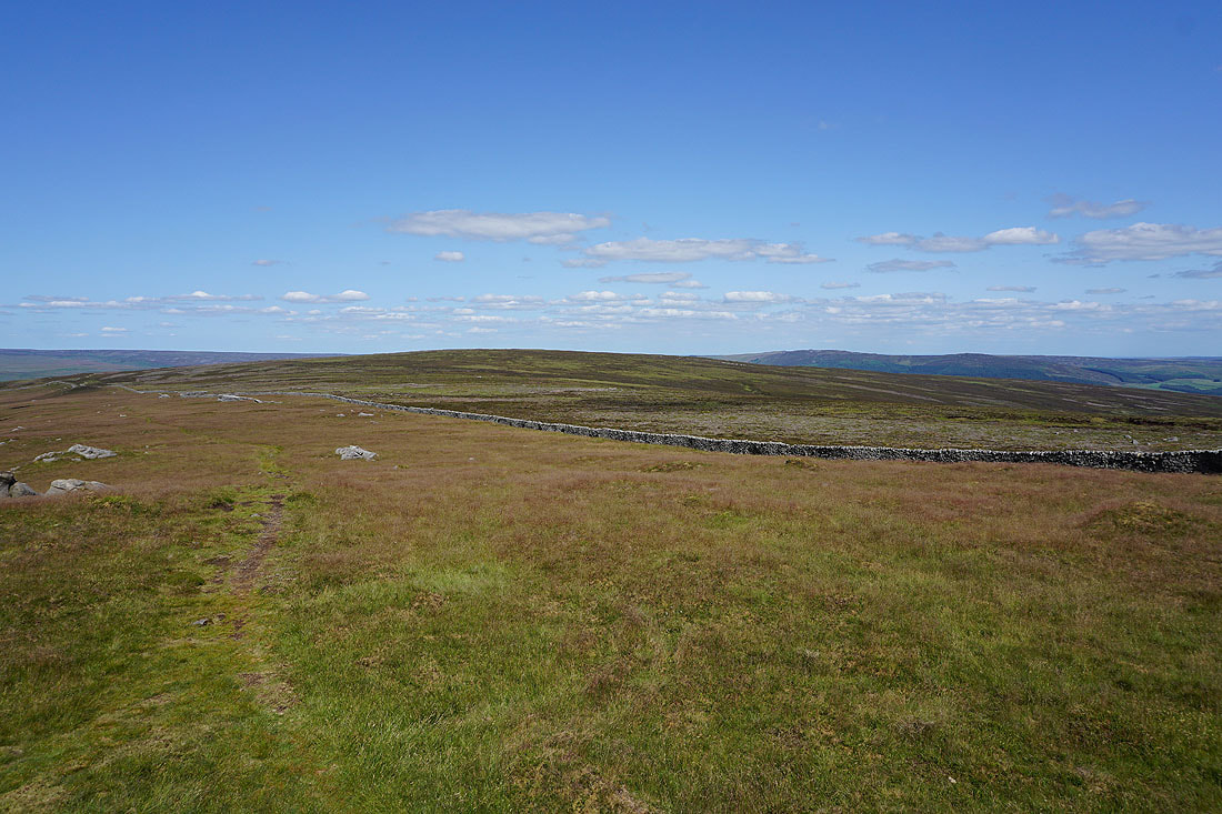
On the footpath east across Boss Moor..
..and east along Backstone Edge, with the moors above Grassington in the distance
Buckden Pike and Great Whernside in the distance as I follow the path down to the top of Moor Lane
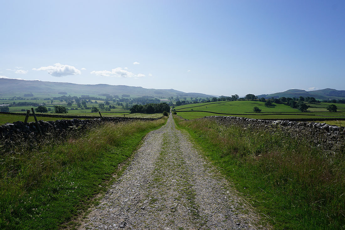
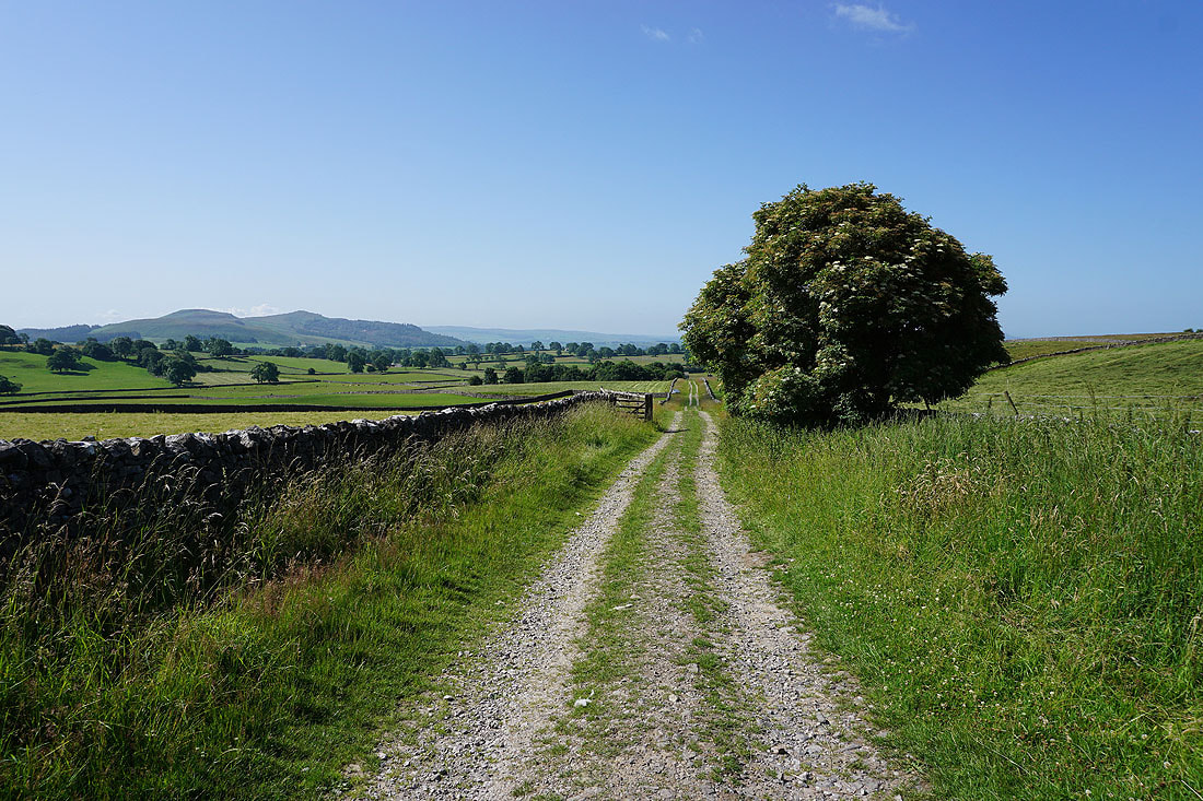
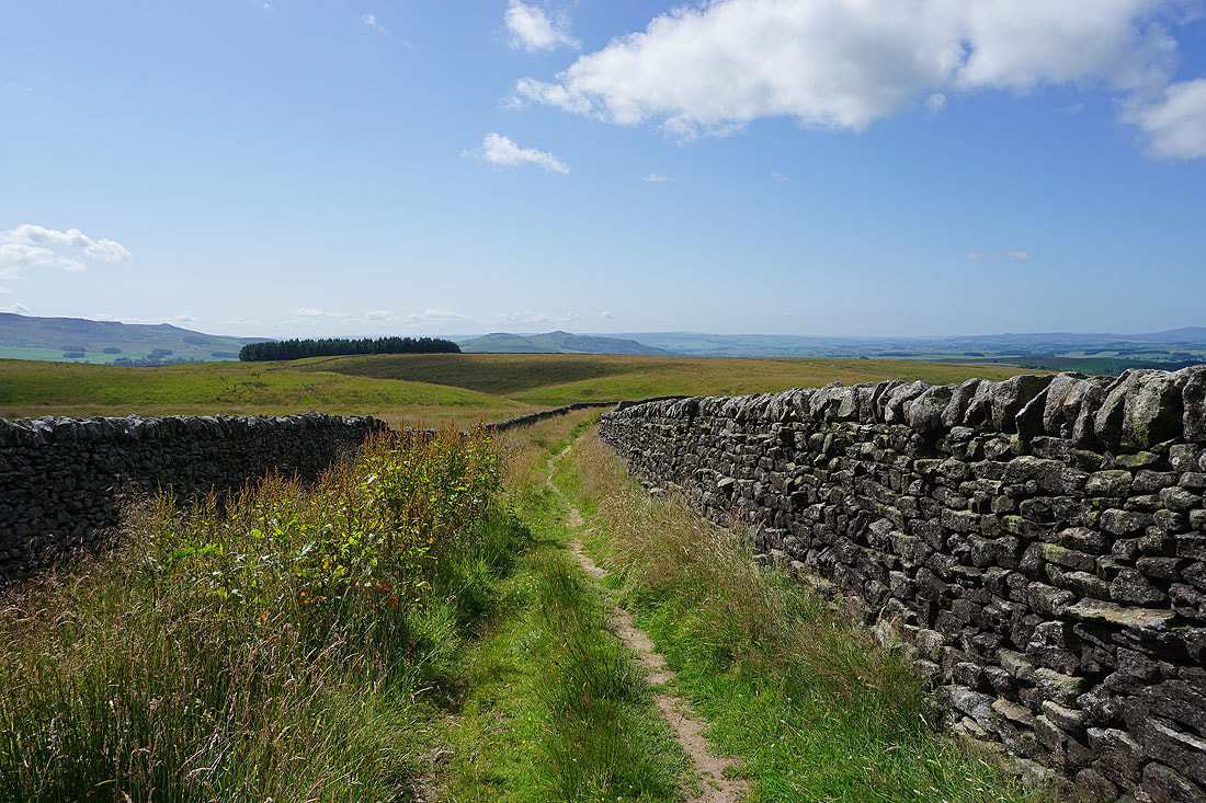
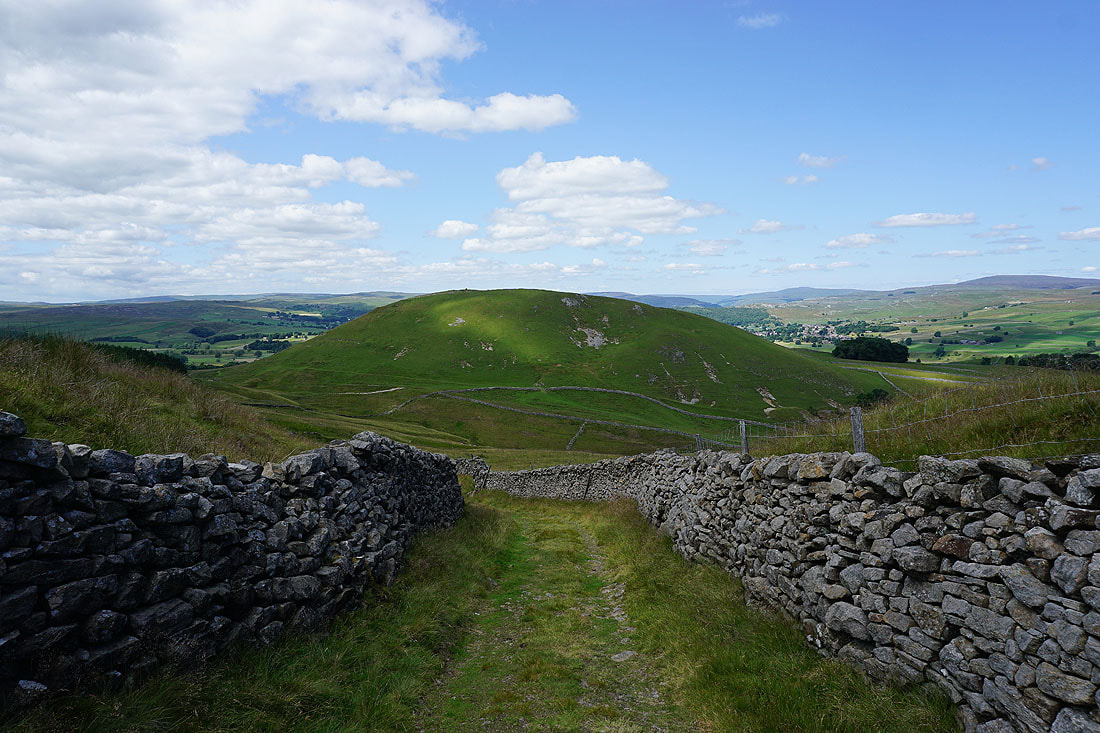
Heading east along Moor Lane to Tarns Lane
Views to the north of Buckden Pike and Great Whernside beyond Grass Wood..
..and of Threshfield Moor and Malham Moor
The village of Threshfield as I take the path from Tarns Lane towards Linton..
..with Grassington below the moor of Edge Top
A warm summer's afternoon in Linton
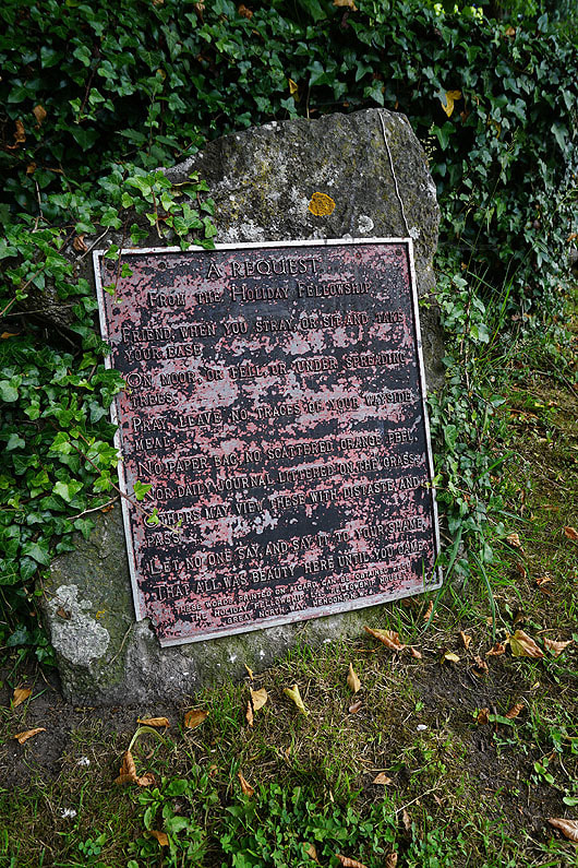
When I was sat on a bench under a tree having my lunch I noticed this sign. I certainly keep to the requests made by the Holiday Fellowship.
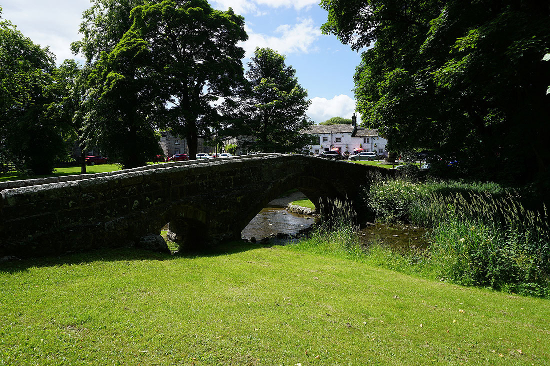
The old packhorse bridge over Linton Beck with The Fountaine Inn behind the trees
Leaving Linton behind with Threshfield Moor and Malham Moor in the distance
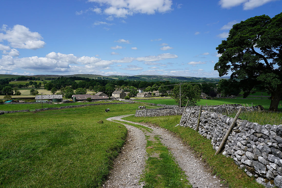
Following the path from Linton to Thorpe Lane..
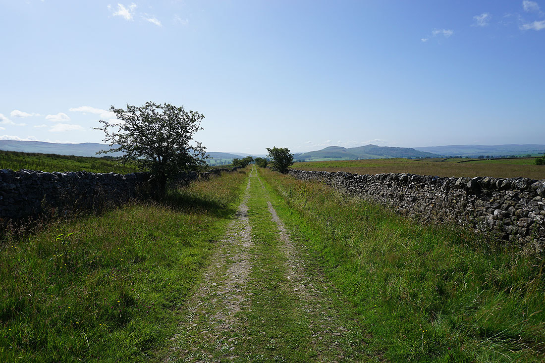
Heading east along Thorpe Lane to Thorpe
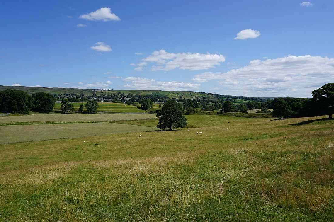
Looking back along Thorpe Lane with Malham Moor and Holgates Kilnsey Moor in the distance
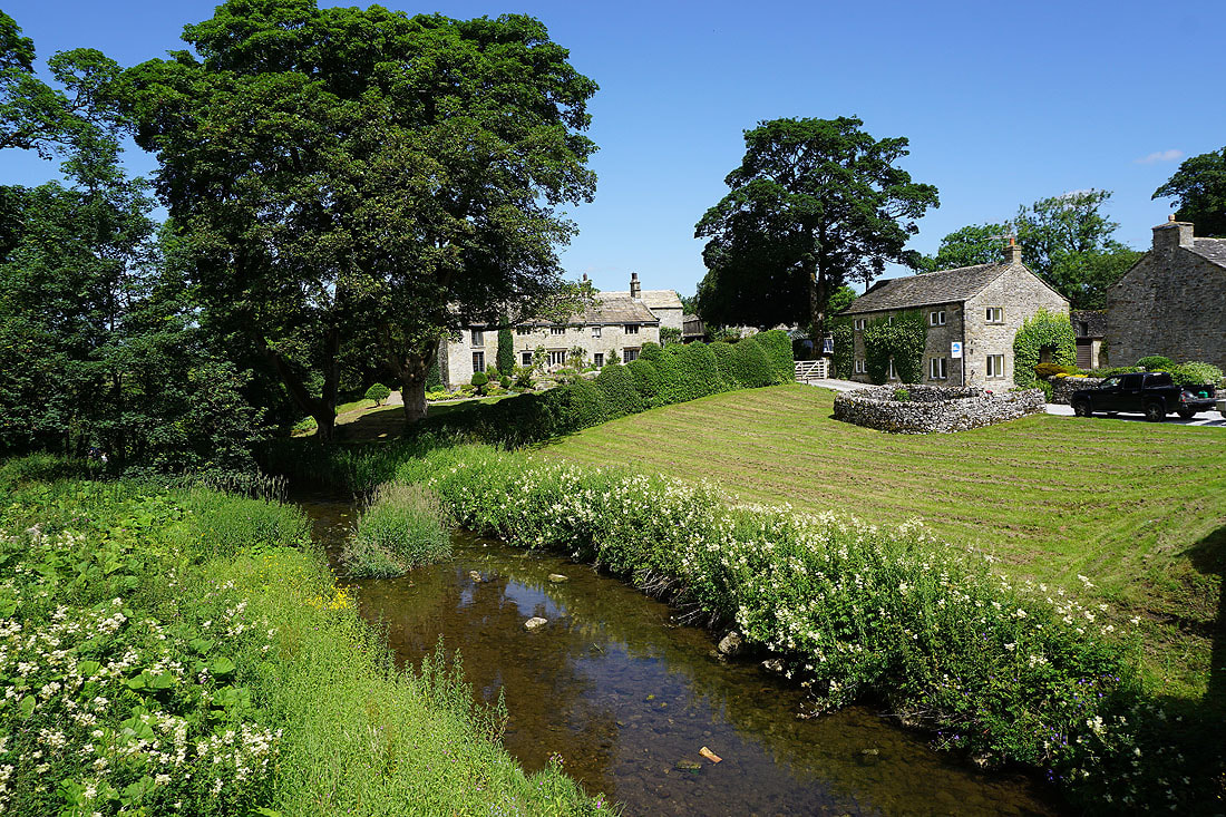
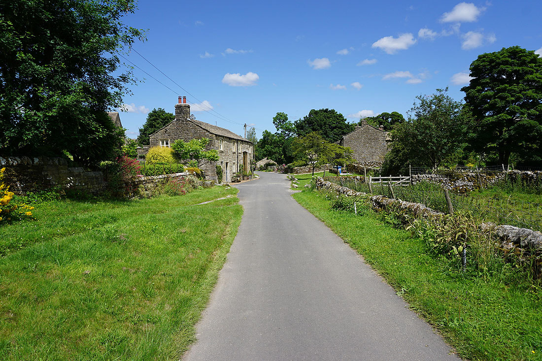
In the hamlet of Thorpe
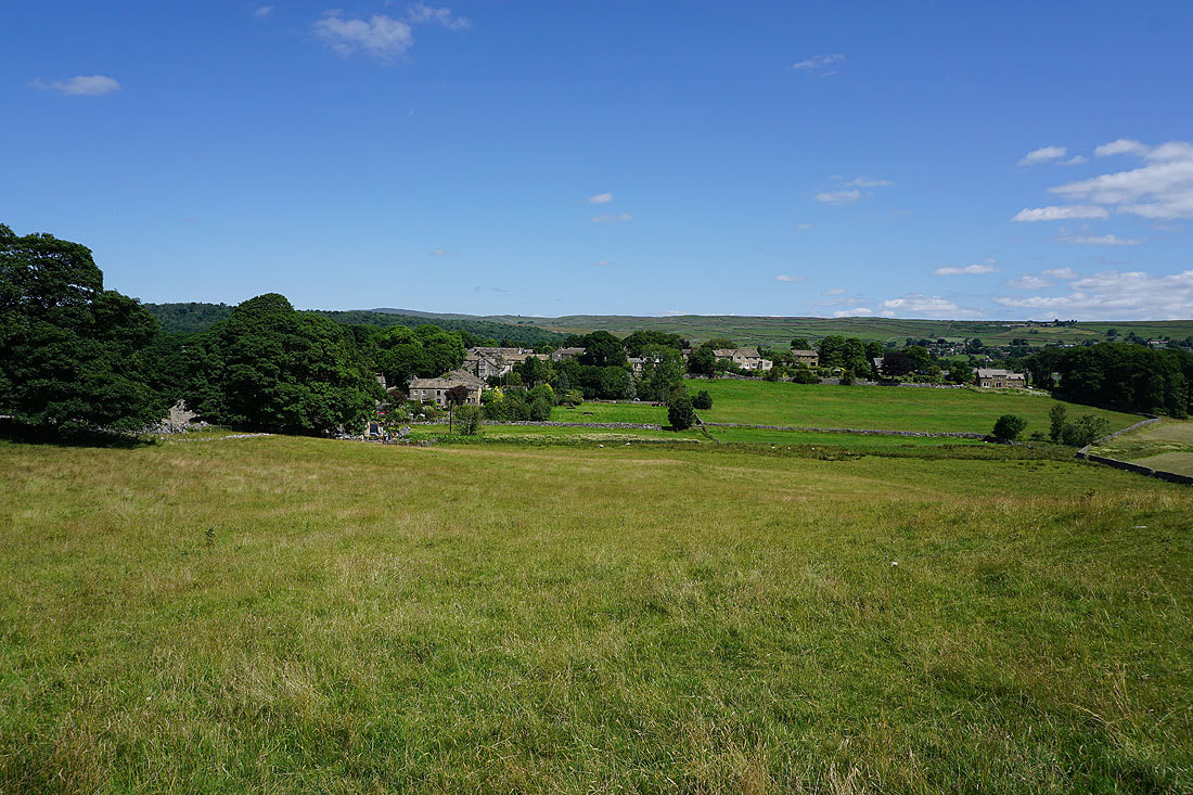
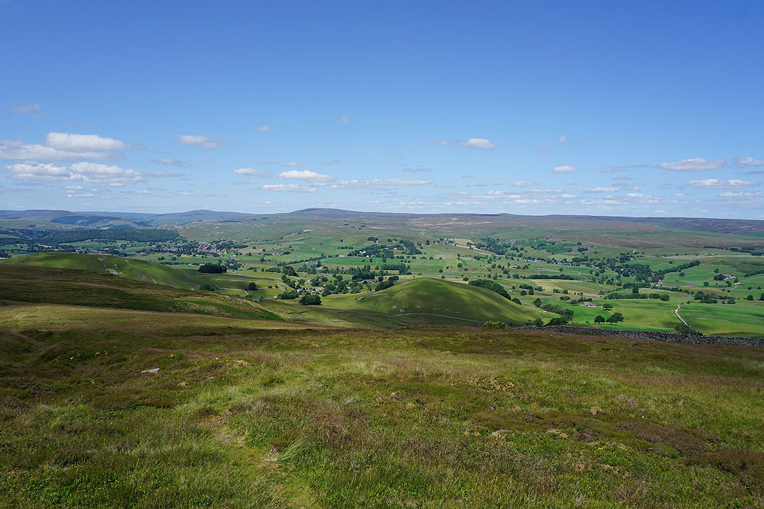
Looking back down to Thorpe from the track up to Burnsall Fell with the moors to the east of Grassington in the distance
The limestone knoll of Elbolton Hill below
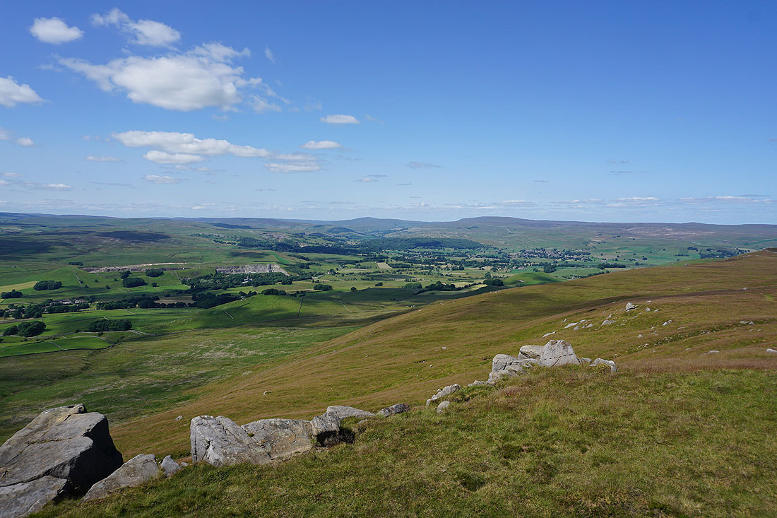
Views of Wharfedale as I near the top of the path up onto Burnsall Fell. Grassington, Buckden Pike, Great Whernside, Grassington Moor and Hebden.
Looking down Wharfedale to Beamsley Beacon and Ilkley Moor
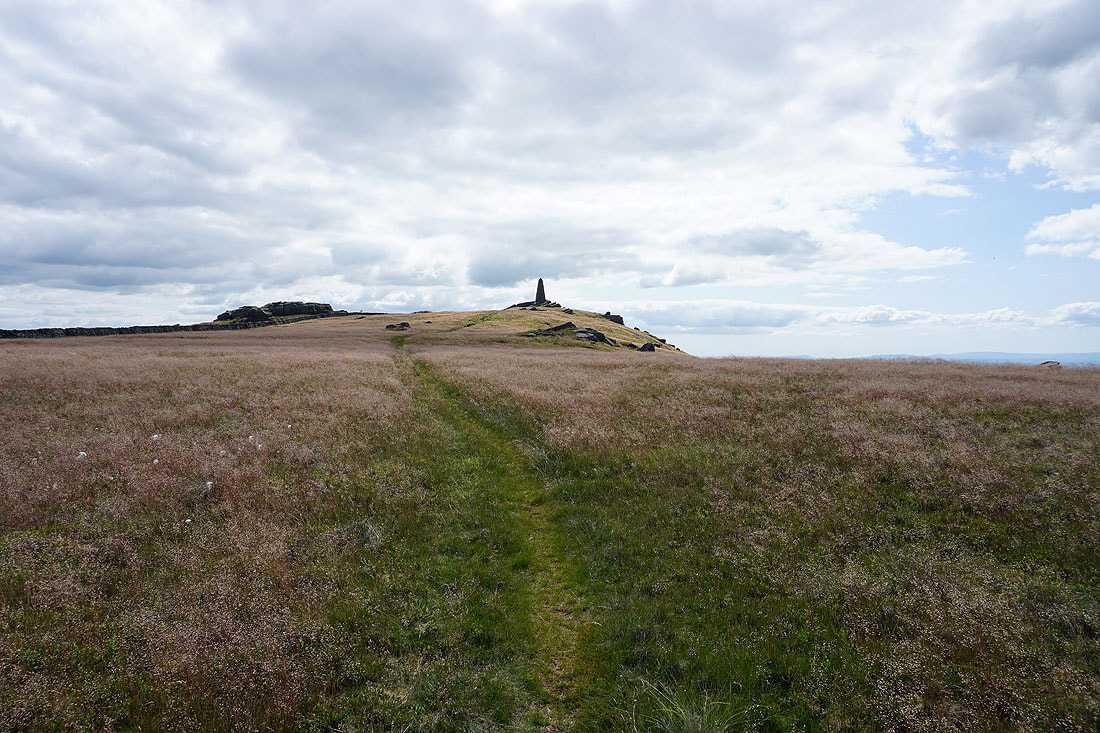
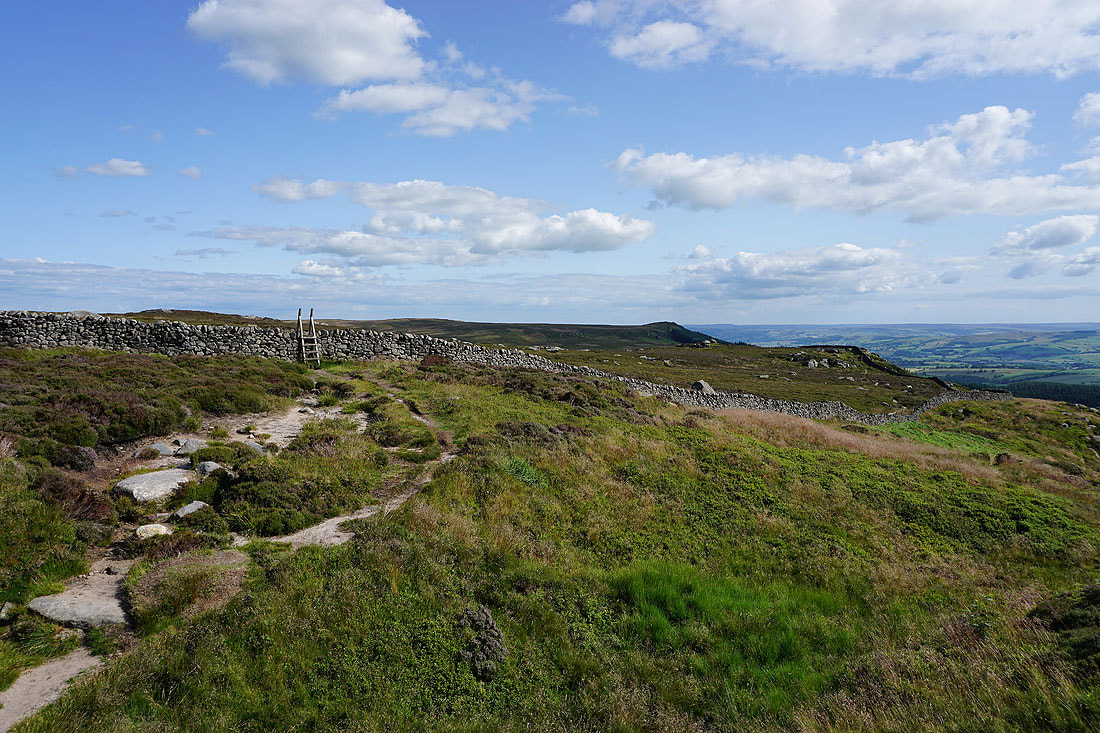
Approaching the war memorial on Cracoe Fell
Looking up Wharfedale to Buckden Pike, Great Whernside and Grassington from the war memorial on Cracoe Fell
Burnsall Fell, the high point on the moorland expanse of Barden Moor
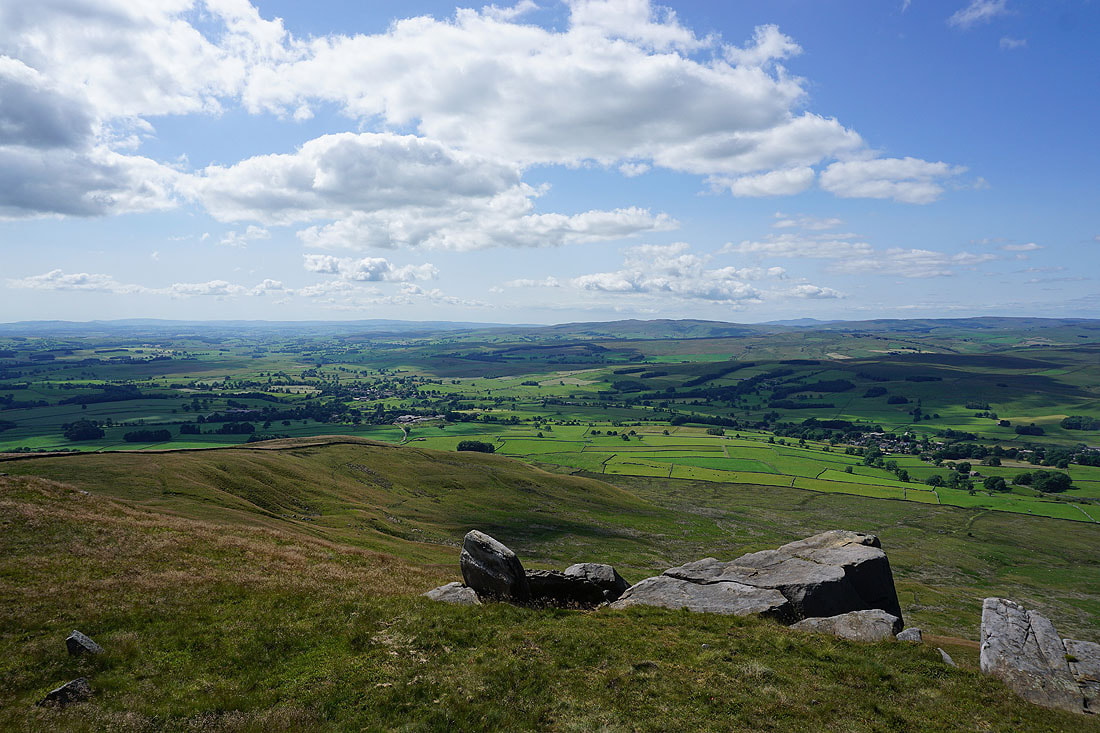
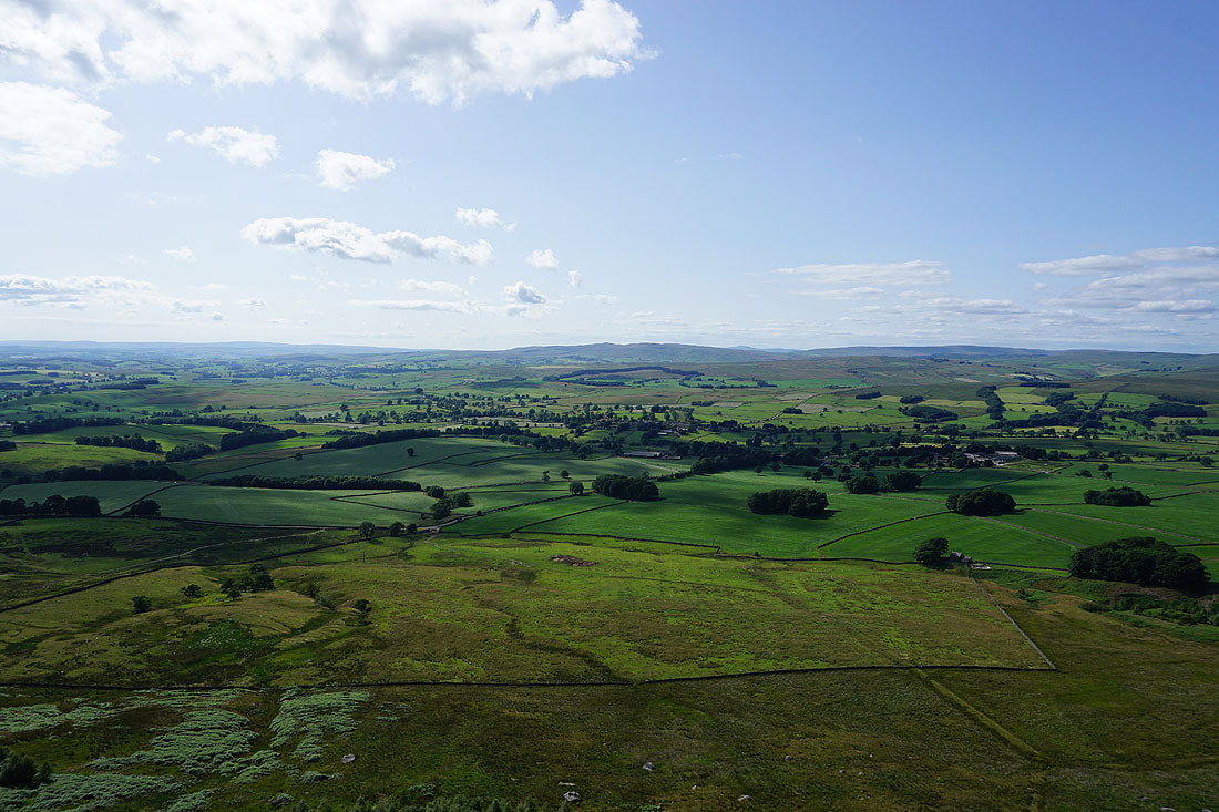
Looking west to the distant hills of the Forest of Bowland, with Rye Loaf Hill, Kirkby Fell, Ingleborough and Fountains Fell on the right
Pendle Hill in the distance to the southwest
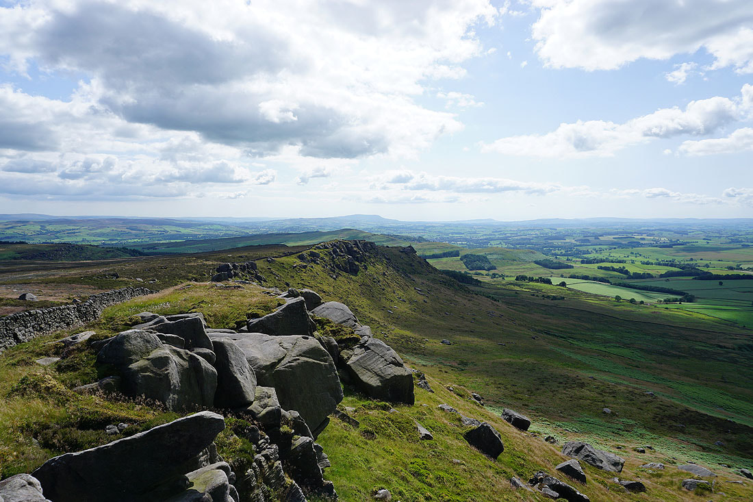
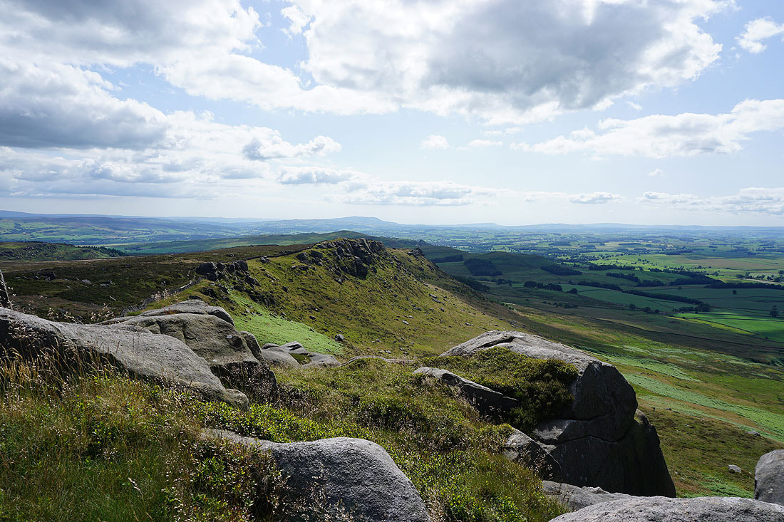
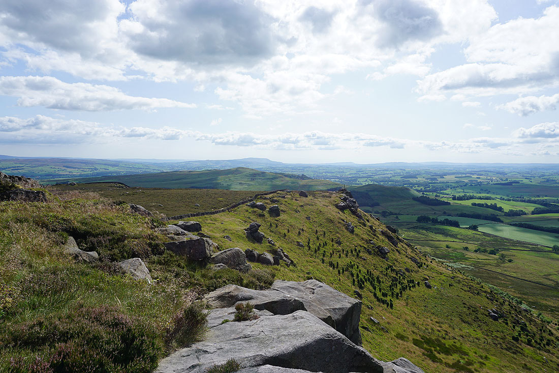
Looking back to the war memorial on Watt Crag as I follow the wall down to Rylstone Fell
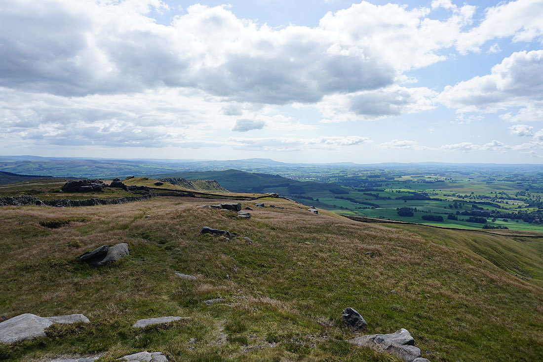
The crags on this part of the fell provide plenty of photo opportunities..
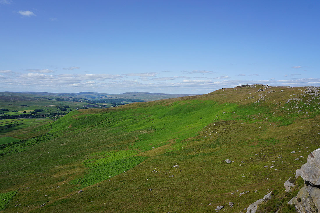
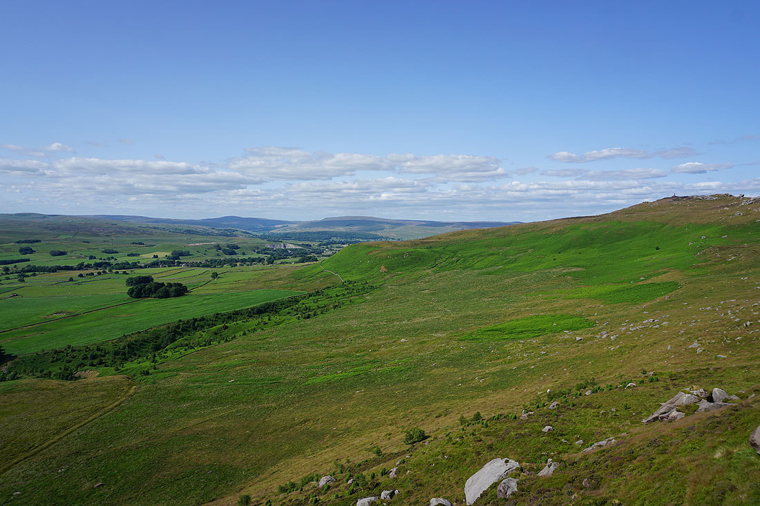
Buckden Pike, Great Whernside and Cracoe Fell
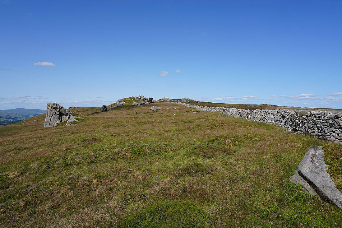
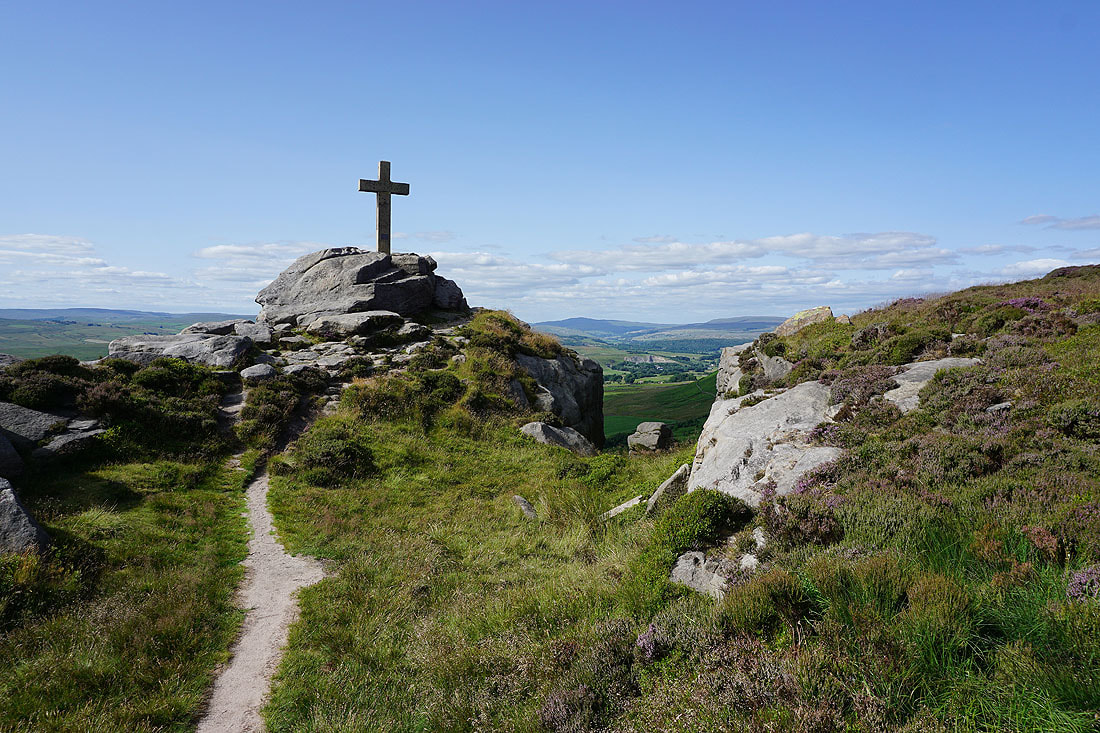
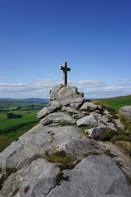
Approaching the cross on Rylstone Fell, which is on top of the crags just ahead
At Rylstone Cross
Buckden Pike, Great Whernside and Cracoe Fell
The Forest of Bowland, Rye Loaf Hill, Kirkby Fell, Ingleborough and Fountains Fell in the distance
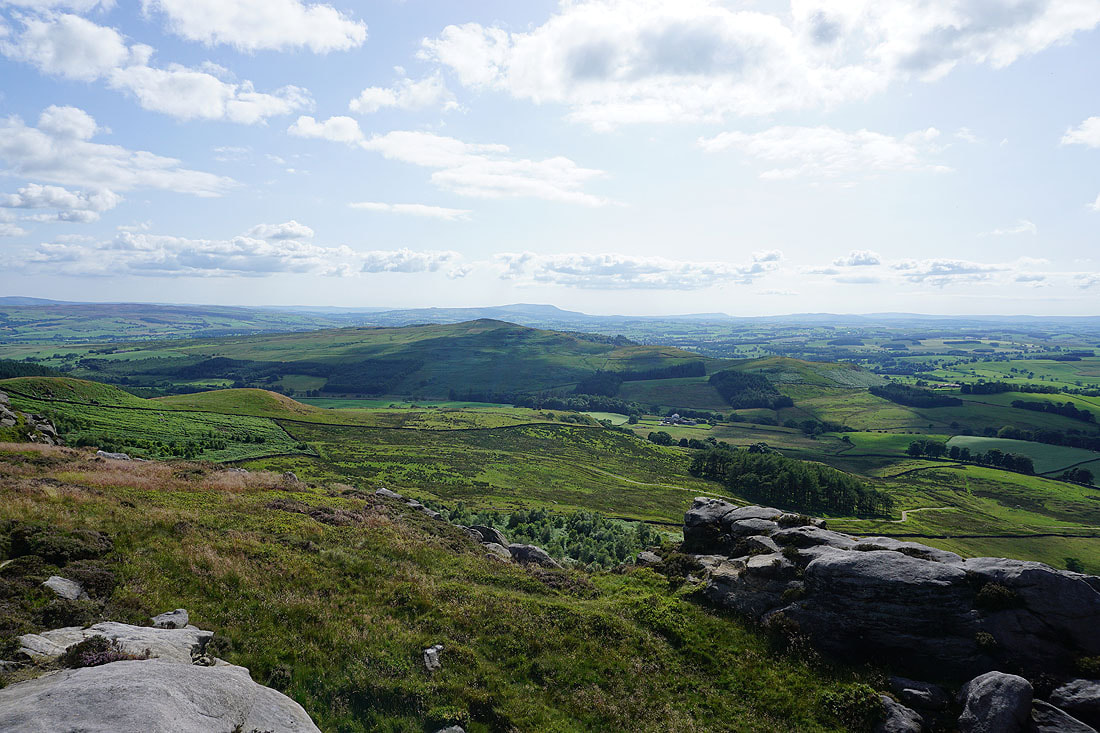
Pendle Hill in the distance beyond Flasby Fell
Looking south to Embsay Moor and Crookrise Crag Top
Rylstone Cross
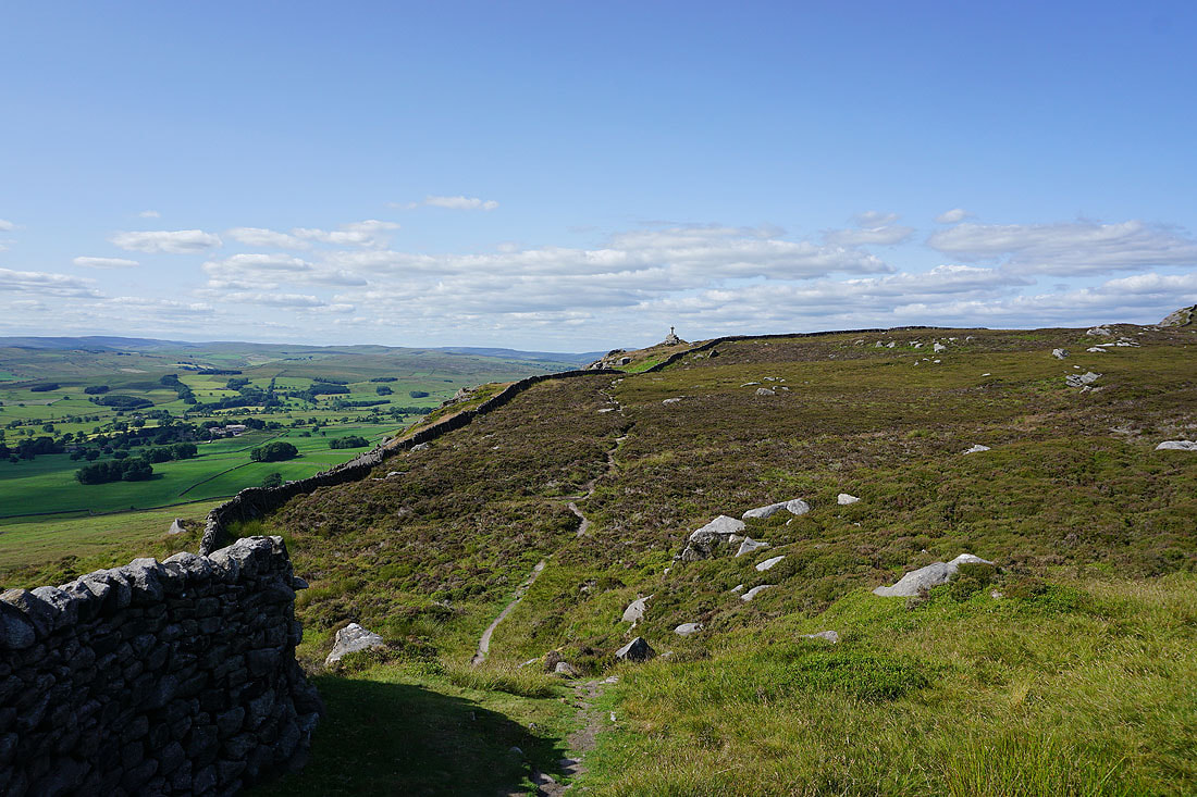
Looking back to Rylstone Cross as I follow the path..
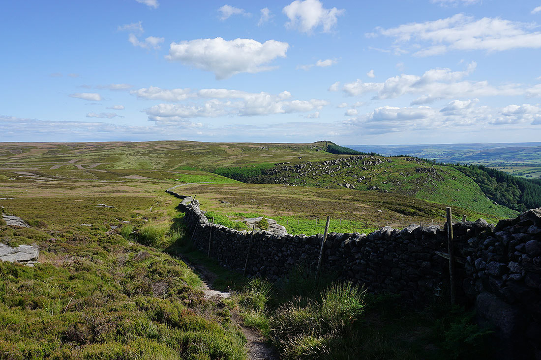
..along the edge of the moor towards Waterfall Gill and the bridleway back to Rylstone
On the bridleway back to Rylstone
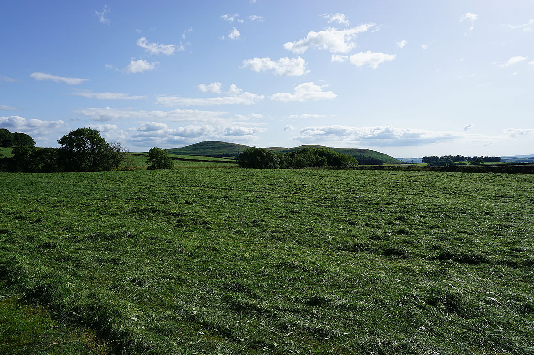
Freshly cut grass and Rough Haw
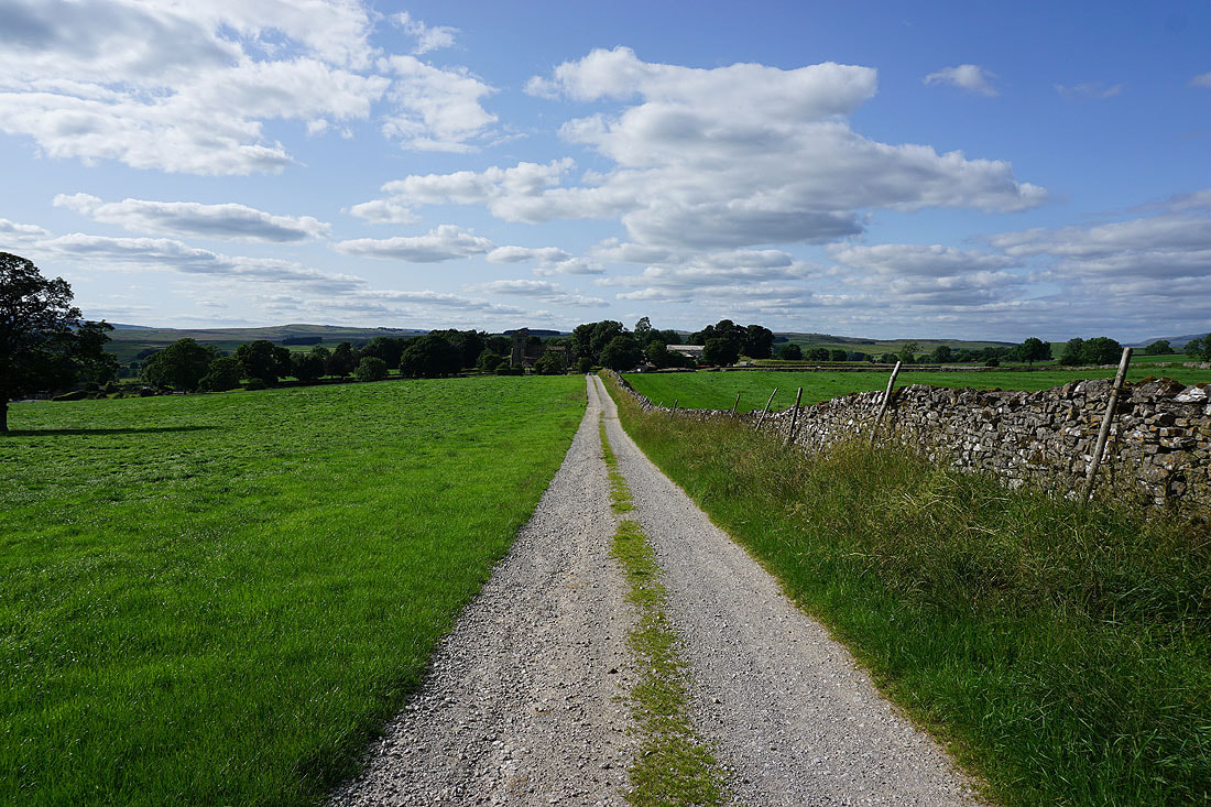
On the bridleway to St. Peter's Church in Rylstone
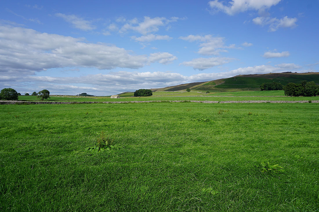
Late afternoon sunshine below Cracoe Fell
Past Manor House on the lane back to Rylstone
