16th July 2022 - Bishopdale and Stake Fell
Walk Details
Distance walked: 13.4 miles
Total ascent: 1684 ft
OS map used: OL30 - Yorkshire Dales, Northern & Central areas
Time taken: 6.5 hrs
Route description: Thoralby-Westfield Lane-Howesyke-New House Farm-Bishopdale Lane-Ribba Hall Farm-Myers Garth-Smelter Farm-Howgill-Dale Head Farm-Kidstones Bank-Causeway-Gilbert Lane-Stake Moss-Busk Lane-Stake Allotments-Stake Road-Haw Lane-Westfield Lane-Thoralby
There was a temporary easing of the heat of last weekend during the week but it's building again, and forecast to become record breaking. Not today though, thank goodness. For my walk this weekend I've decided to head to Thoralby in Bishopdale, in the Yorkshire Dales, and do a route that would take in almost the whole length of the dale by following footpaths up the valley before returning to Thoralby by byways and bridleways across the moorland above the western side of the dale. It's a shame that the public footpaths don't make it all the way up to the top of the dale. That meant a walk up the road on Kidstones Bank to get to the track of Gilbert Lane. The uphill part of the route was done during the morning, the cooler part of the day, so that it was mostly downhill all the way in the heat of the afternoon. It was a glorious summer's day for hill walking with wall-to-wall blue skies and sunshine, and very warm by the afternoon, fortunately with a bit of a breeze.
After parking in Thoralby I walked west along Westfield Lane past The George Inn, taking a left at a fork in the road to Littleburn Bridge, then followed the track of Westfield Lane up Bishopdale taking the public footpath from its end across fields to Howesyke. From Howesyke I took the footpath up the dale past Hay Garth Barn and The Rookery to New House Farm, where the footpath followed the farm's access road out to Bishopdale Lane. I turned left and after a short walk along the road I reached a bridge over Bishopdale Beck and the access road to Ribba Hall Farm, which I took. I then followed the public footpath from Ribba Hall Farm up Bishopdale passing Myers Garth and Smelter Farm to arrive at Howgill, and from there I walked along a track to Dale Head Farm and up to the road on Kidstones Bank. A walk up the road was next, until I reached the track of Gilbert Lane, which took me north across the moorland of Stake Moss to the junction of the tracks of High Lane and Busk Lane. I then made my way north along Busk Lane until I reached a bridleway on the right signposted for Thorlaby, which I took east across the moorland of Stake Allotments and then down the track of Stake Road. From the end of Stake Road the bridleway crossed a field to join the track of Haw Lane, and this was followed all the down to Westfield Lane in Thoralby. A walk into the village took me back to where I was parked.
Route map
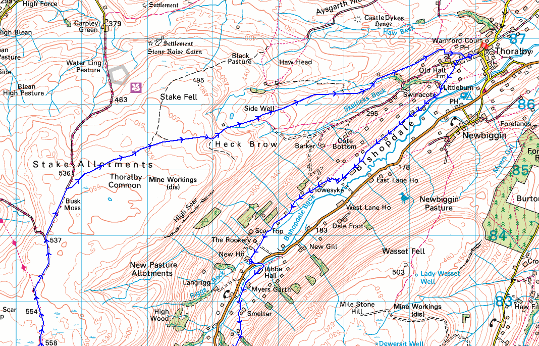
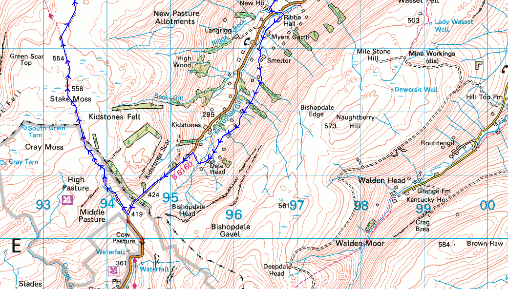
© Crown copyright. All rights reserved. License number PU 100034184.
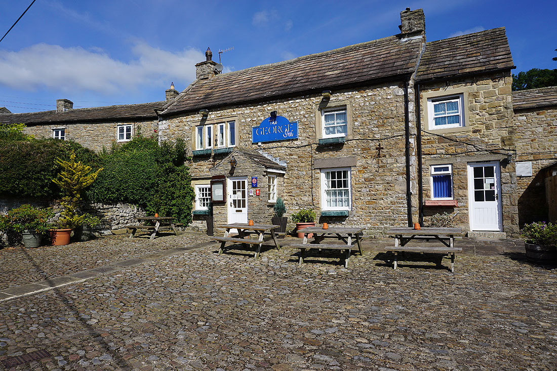
The George Inn in Thoralby. There was a sign on the door saying "Sorry. We are temporarily closed." when I took this photo.
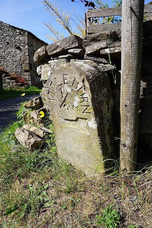
This milestone is at a fork in the road at the western end of Thoralby. I think it has Littleburn across the top of it. I took the left hand onto Westfield Lane.
|
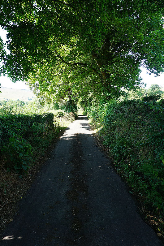
Walking down Westfield Lane to Littleburn Bridge
|
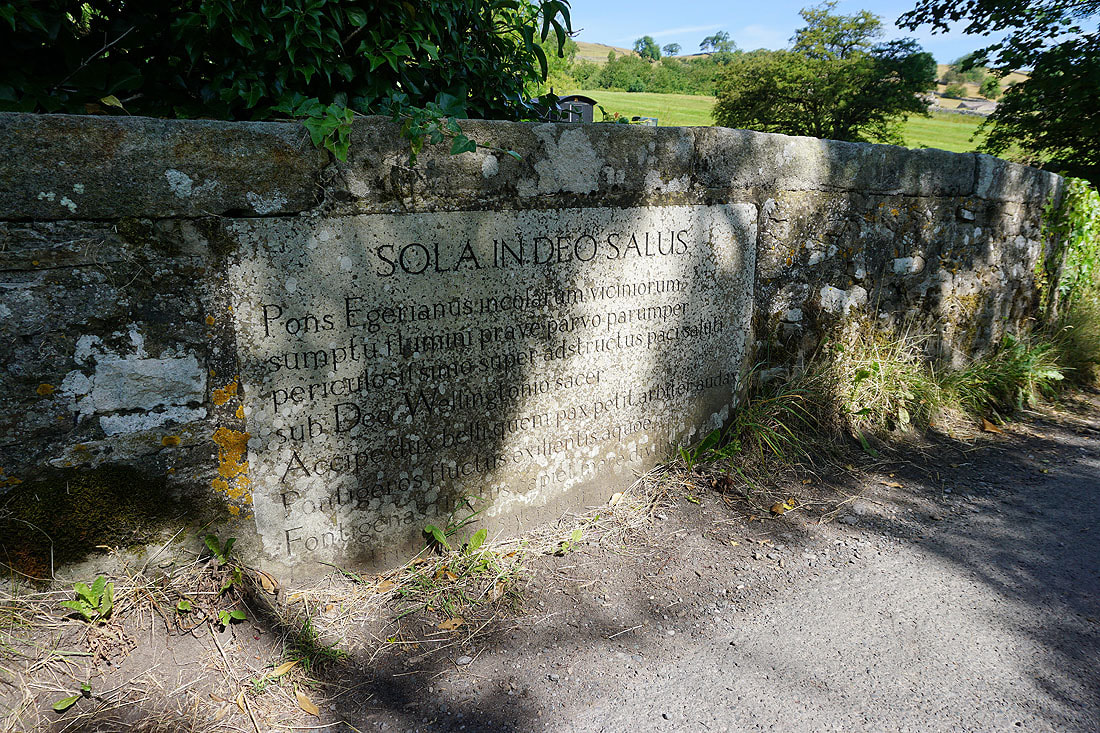
The Latin inscription on Littleburn Bridge
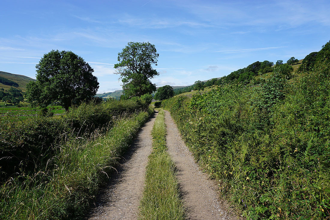
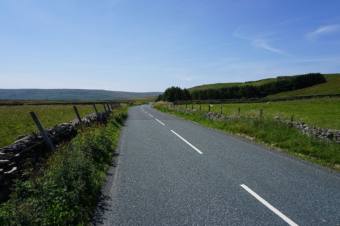
Past Littleburn Bridge and Westfield Lane becomes a track
The eastern slopes of Bishopdale above me
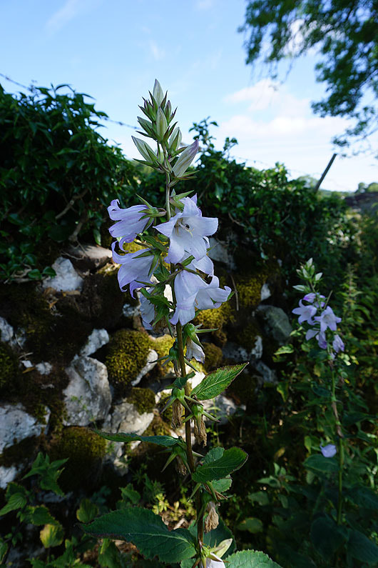
A Giant Bellflower
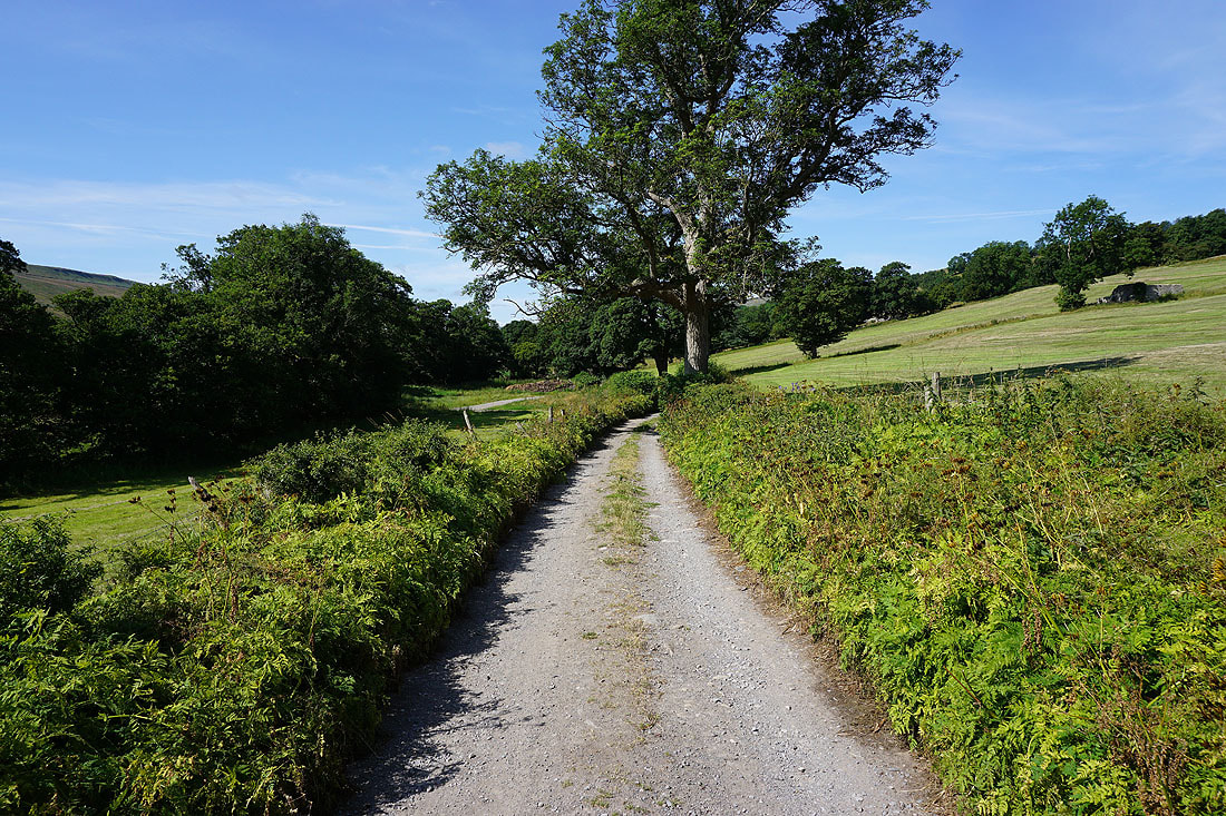
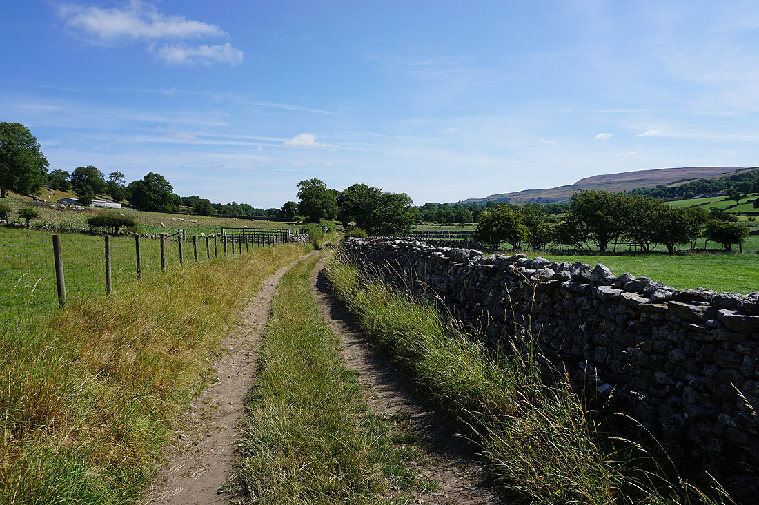
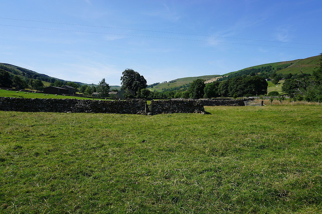
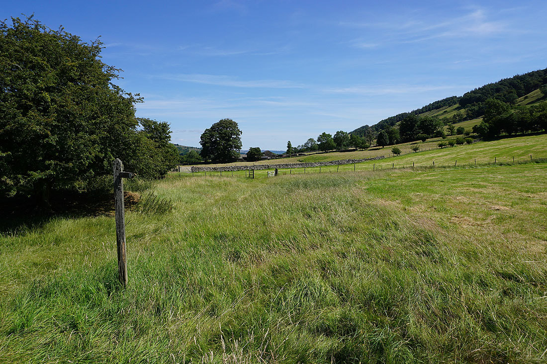
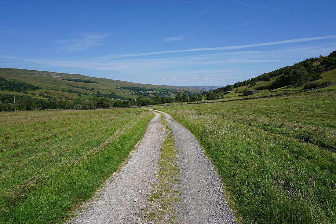
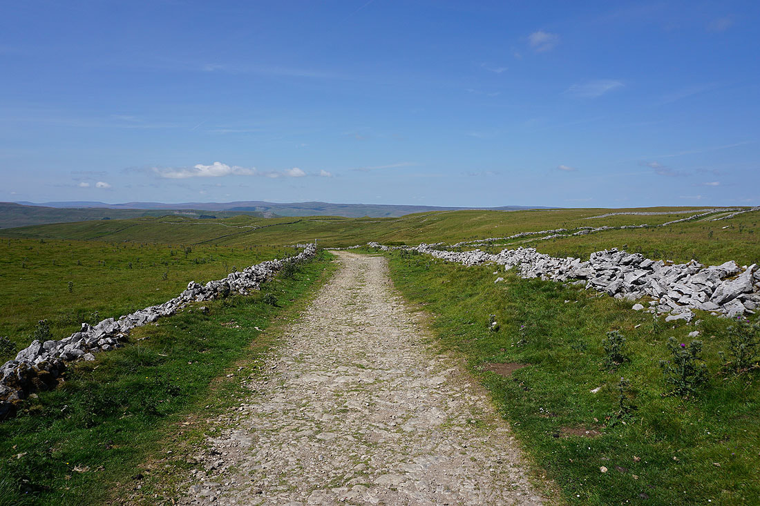
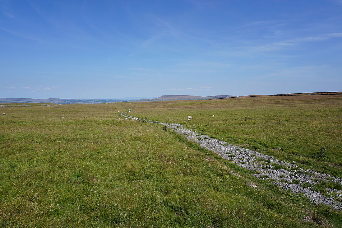
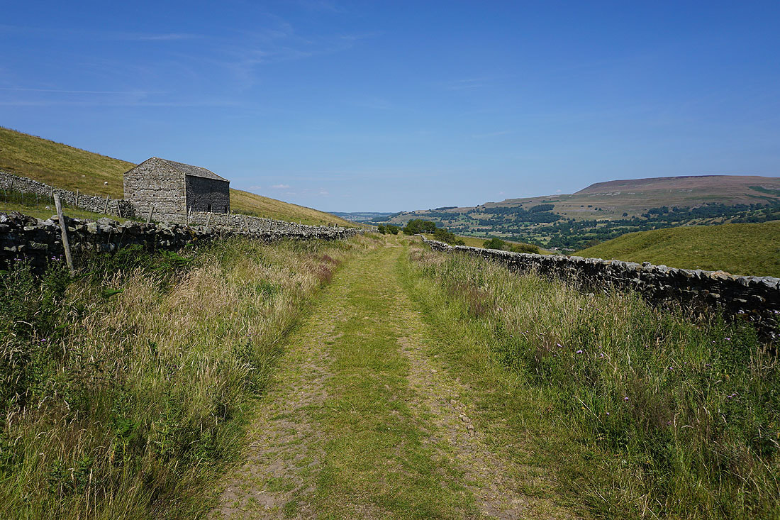
Views of Bishopdale as I follow the track and then footpath up the valley to Crooksby Barn and then Howesyke Farm.....
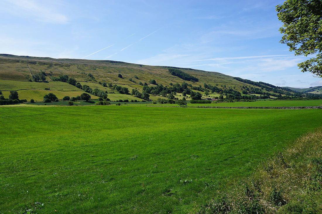
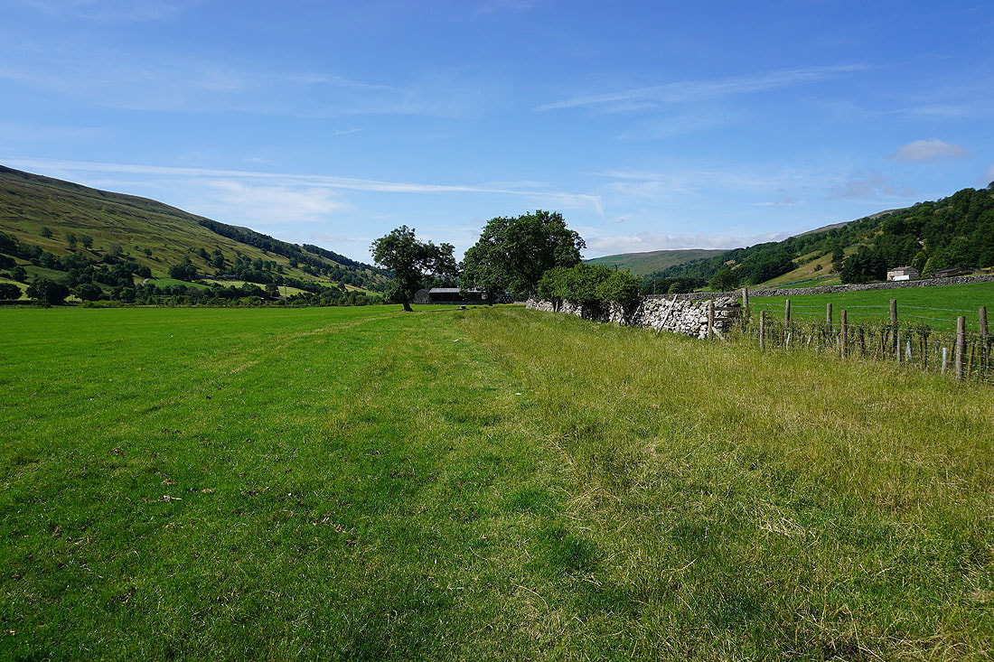
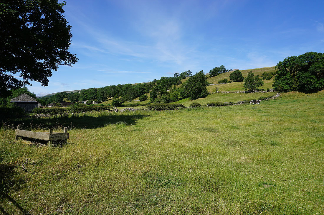
Looking down Bishopdale from the footpath above Howesyke Farm
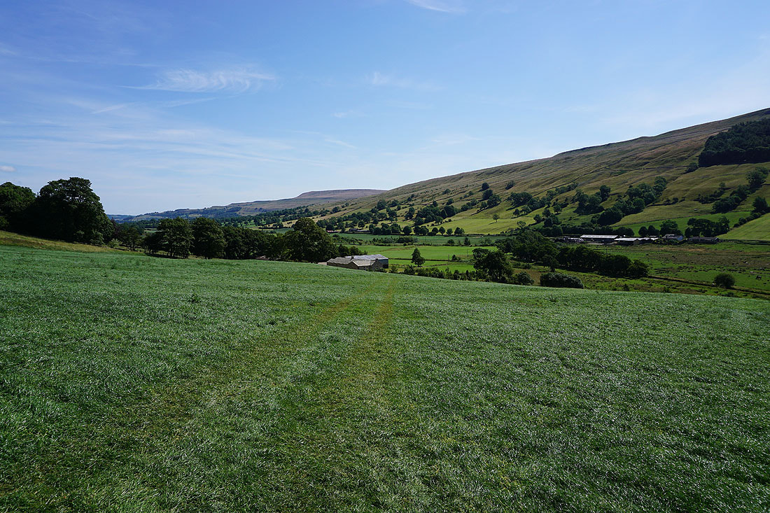
The head of the dale is in sight at last
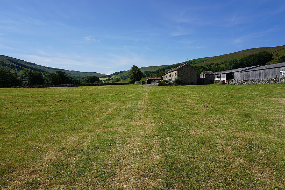
Approaching New House Farm, and this is where I'll cross the road to the other side of the valley
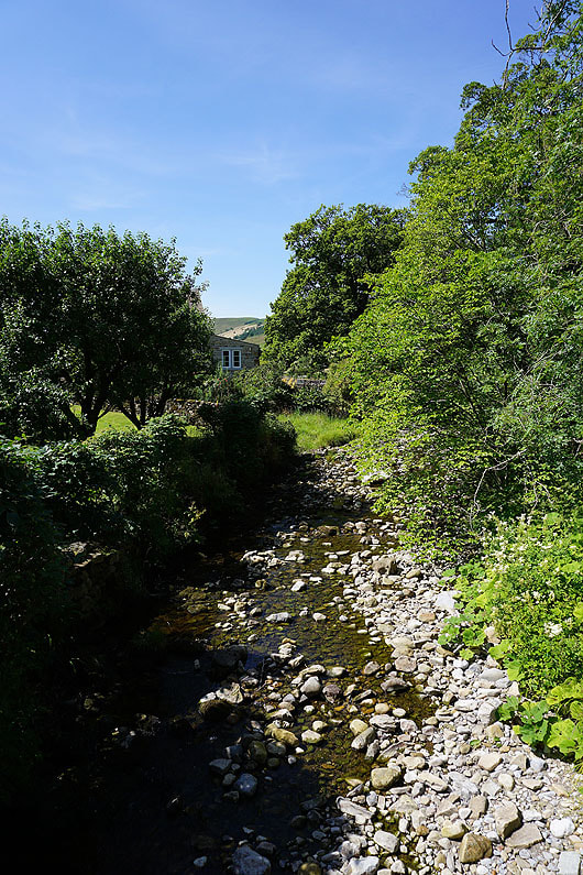
Crossing Bishopdale Beck at Ribba Hall Farm
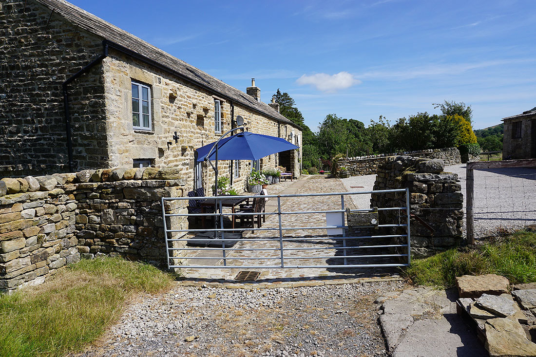
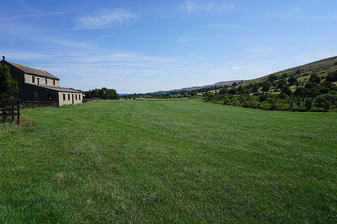
Ribba Hall Farm. The public footpath goes through their back yard.
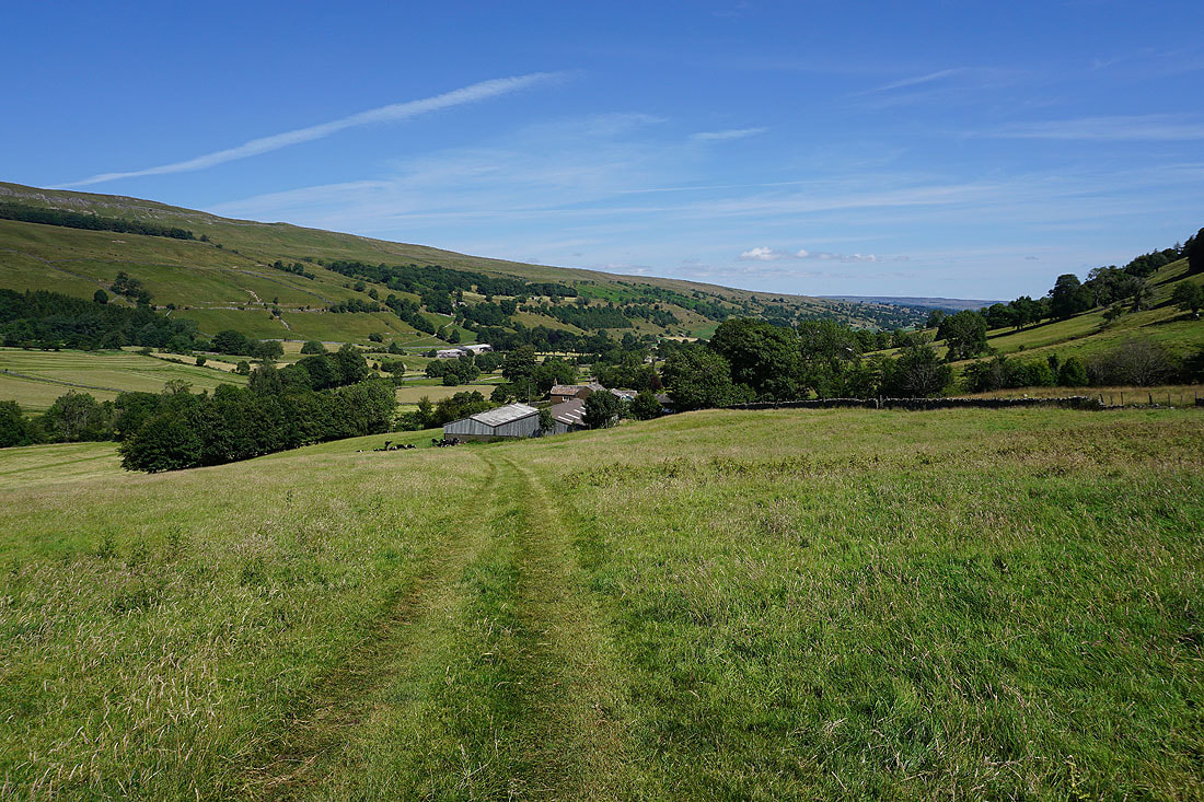
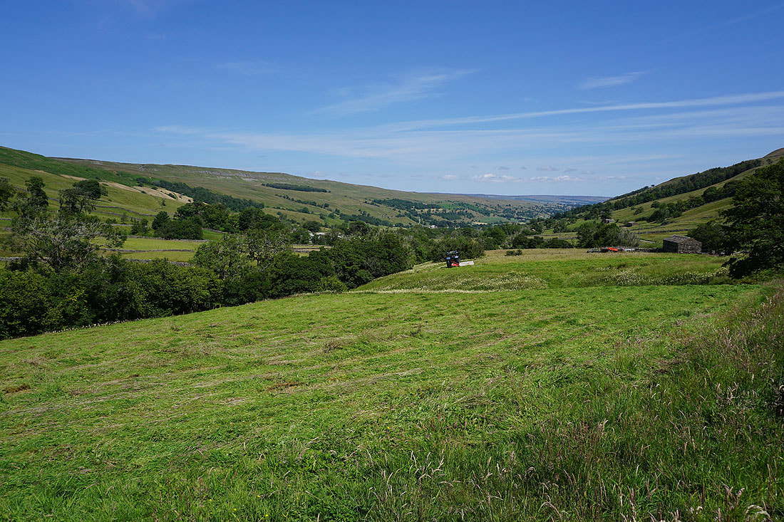
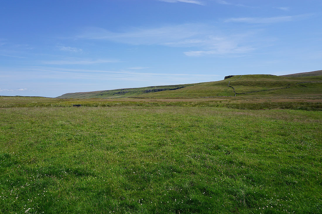
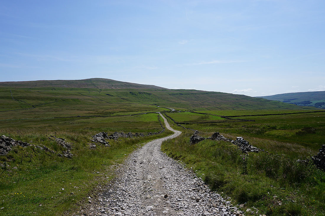
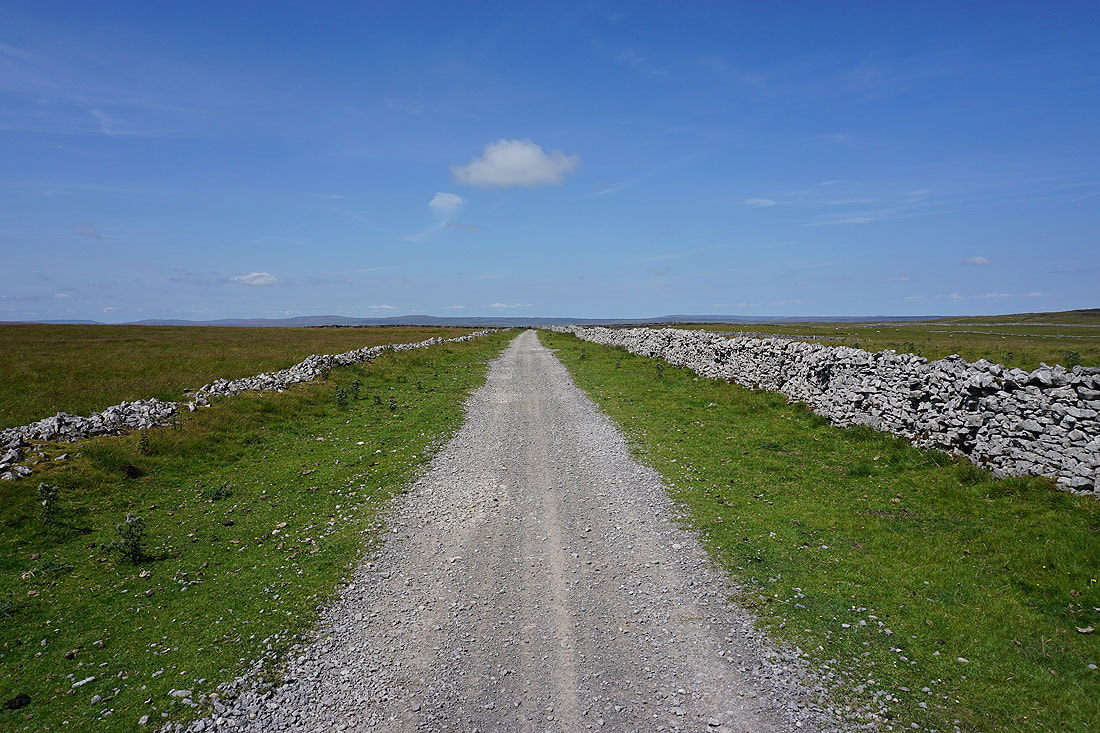
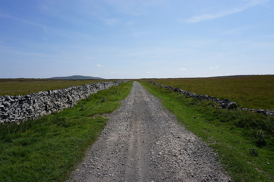
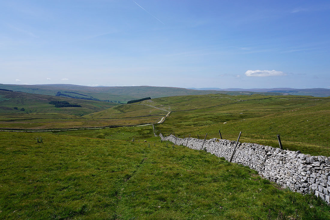
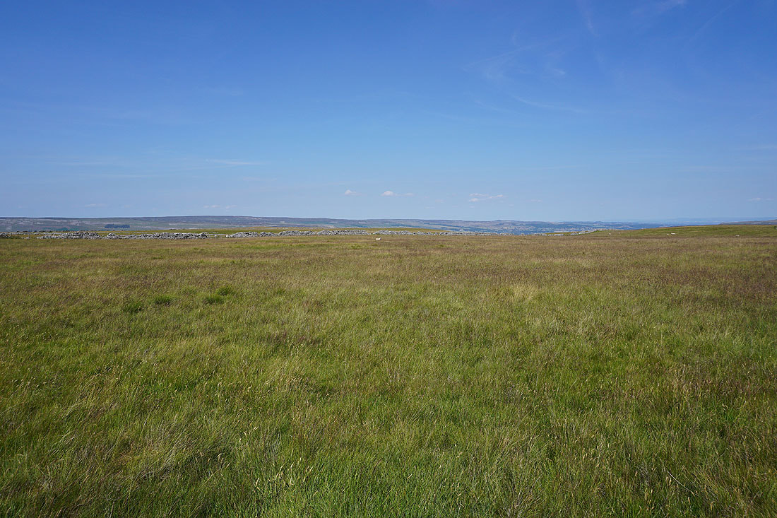
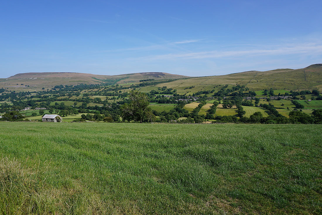
Views of Bishopdale as I follow the footpath up the valley from Ribba Hall Farm past Myers Garth, Smelter Farm and Howgill to Dale Head Farm.......
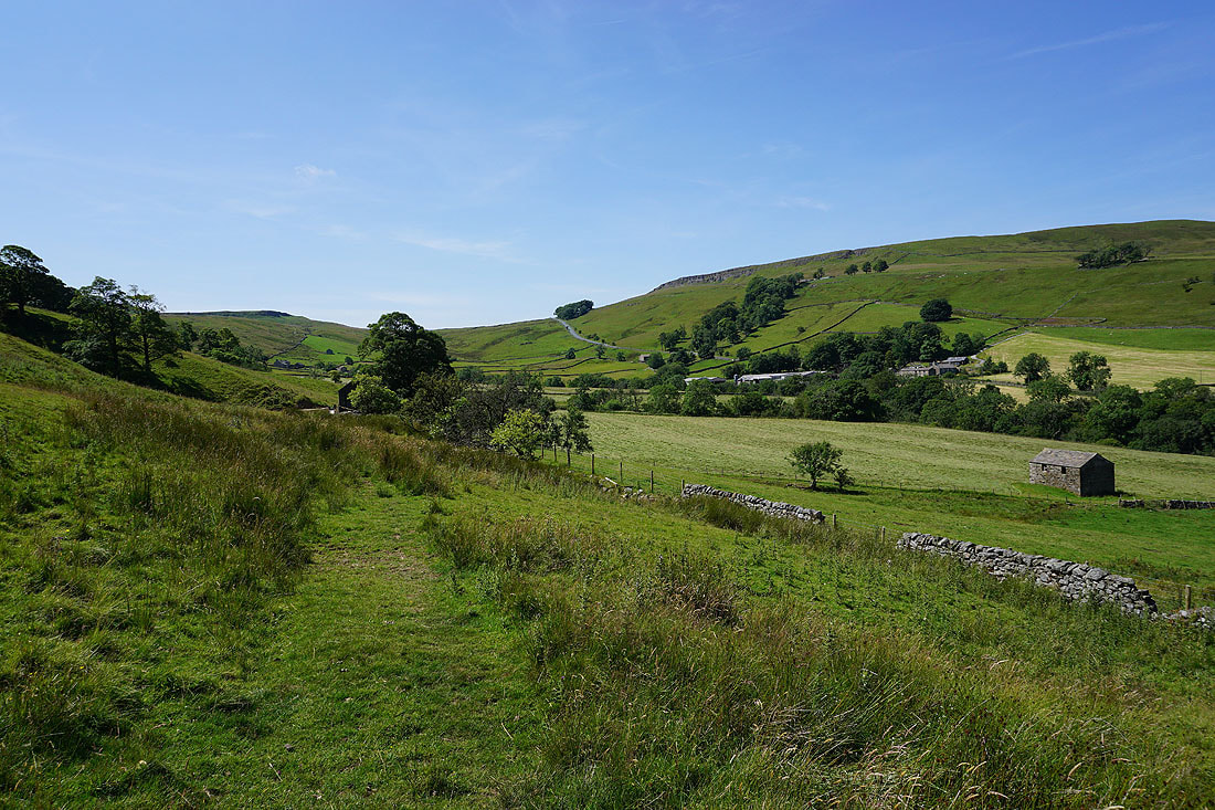
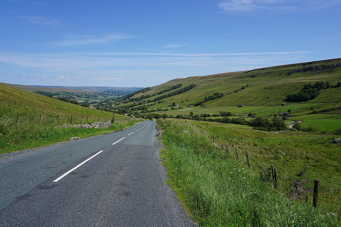
A last look back down Bishopdale as I walk up the road on Kidstones Bank
Kidstones Scar above me to my right
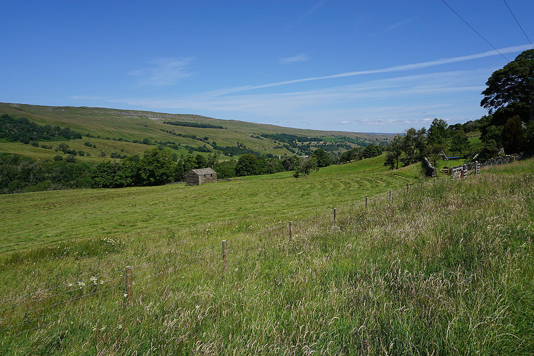
The moors on the other side of Wharfedale come into view as I reach the top of the road
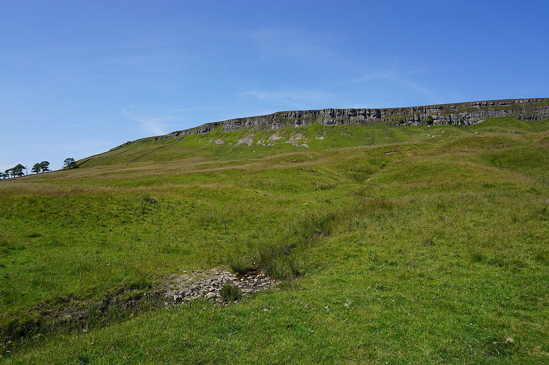
Dale Head Scar and Bishopdale Gavel
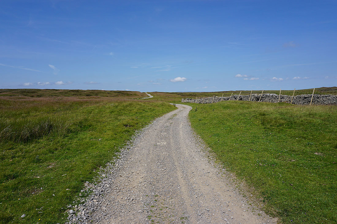
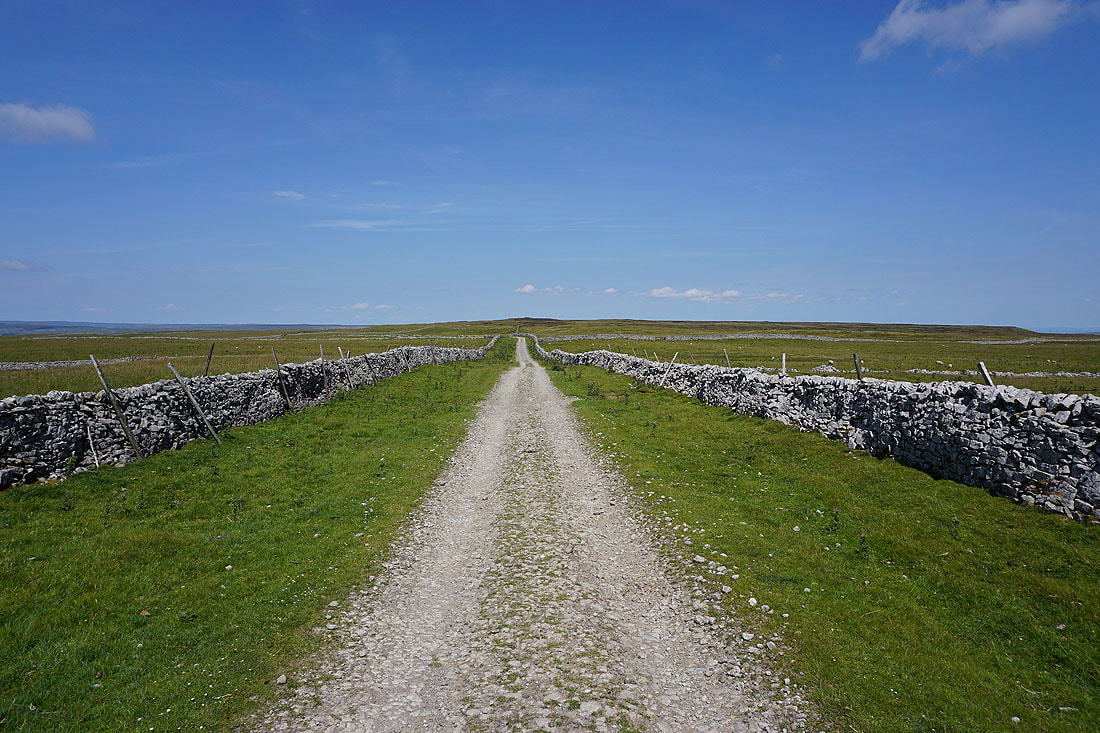
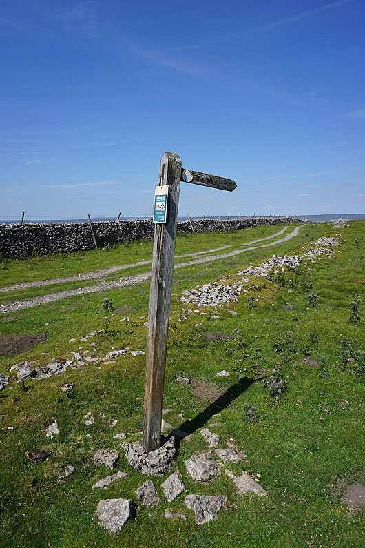
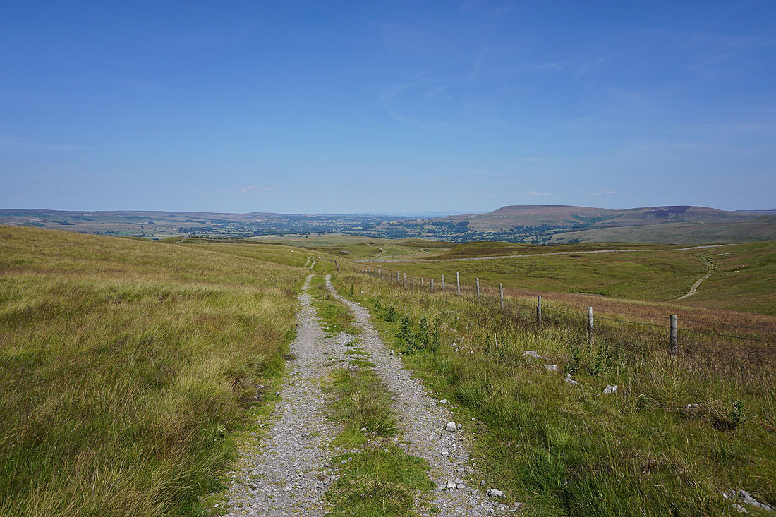
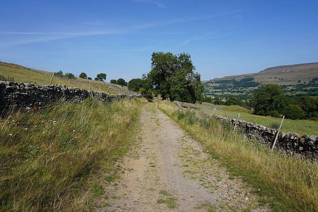
Off the road at last, and onto the track of Gilbert Lane
Heading north up Gilbert Lane to the forbiddingly named Hell Gap
Looking back across the Kidstones Pass to Buckden Pike
After a break for lunch I resume my journey north along Gilbert Lane
To my right I get a view across the surrounding moors to Penhill in the distance
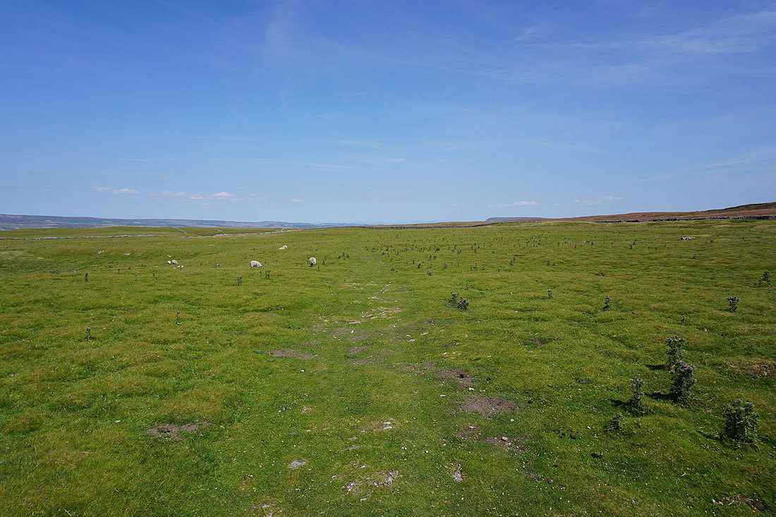
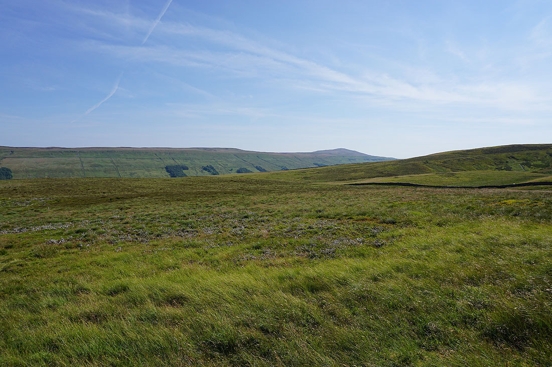
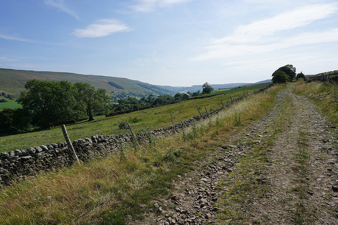
Making my way north across Stake Moss....
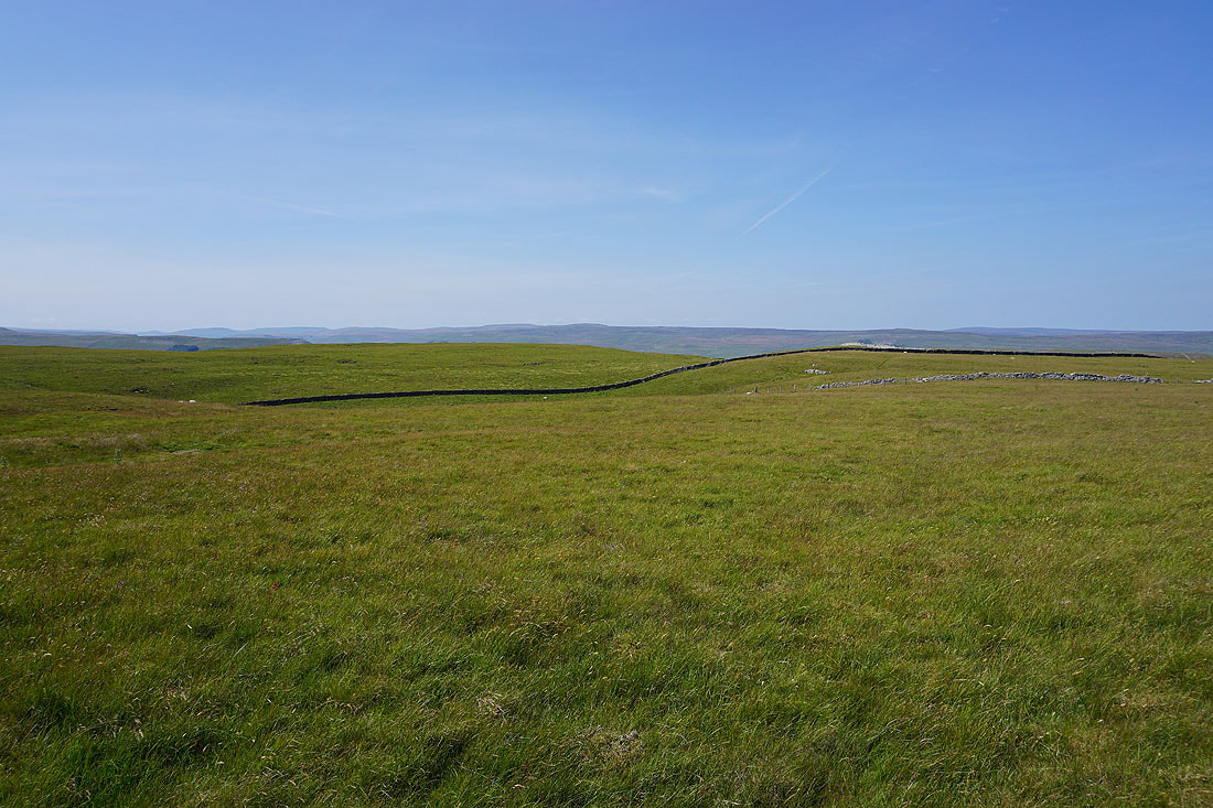
Approaching the junction of the tracks of High Lane and Busk Lane, and the moors to the north of Wensleydale appear ahead
Dodd Fell Hill, Wether Fell, Raydale and Stalling Busk Pasture with the track of High Lane below from Busk Lane
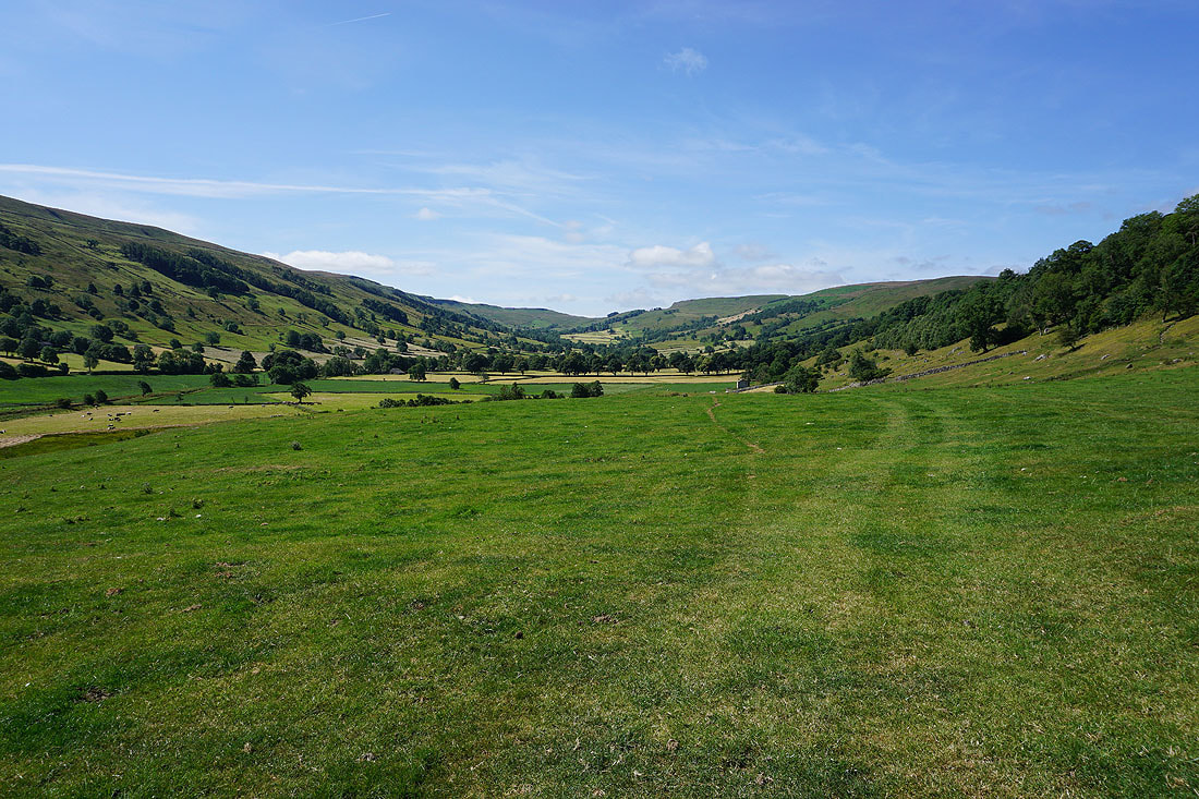
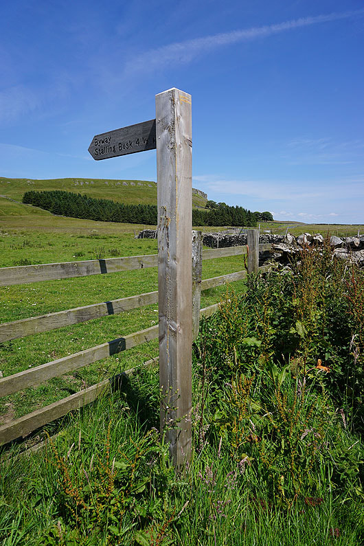
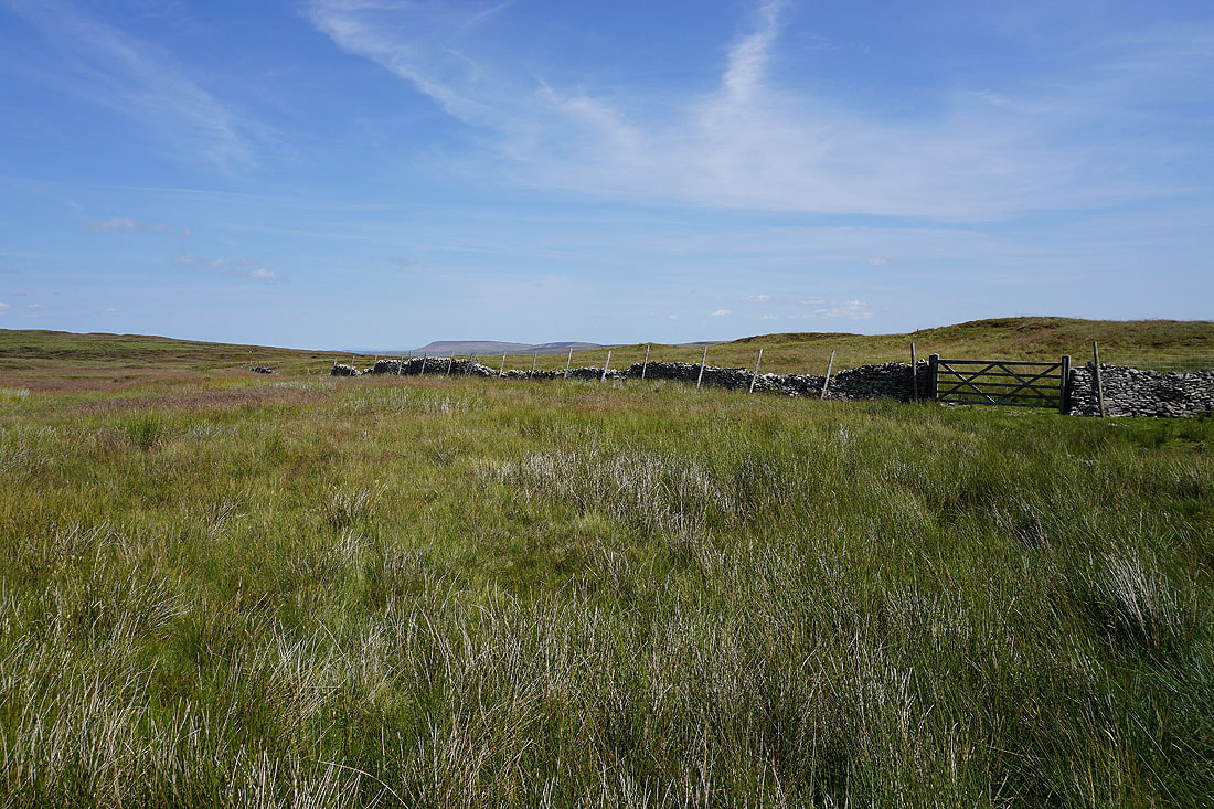
I'm not on Busk Lane for long. I leave it for the bridleway east across Stake Allotments to Thoralby..
There are wide open spaces for taking in the view up here. Swarth Fell, Wild Boar Fell, Great Shunner Fell, Lovely Seat and Askrigg Common to the northwest on the other side of Wensleydale.
To the east, Penhill and Harland Hill at the foot of Bishopdale and Waldendale
Looking north and northeast across Wensleydale to Woodhall Greets, Carperby Moor and Redmire Moor
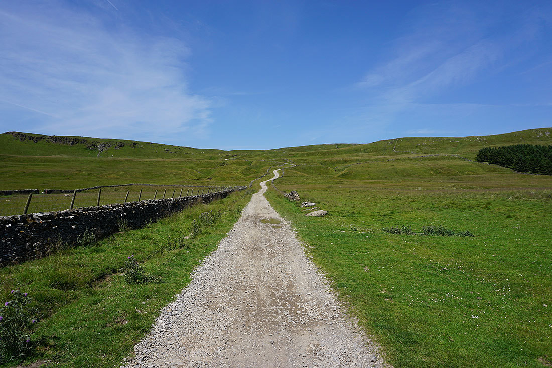
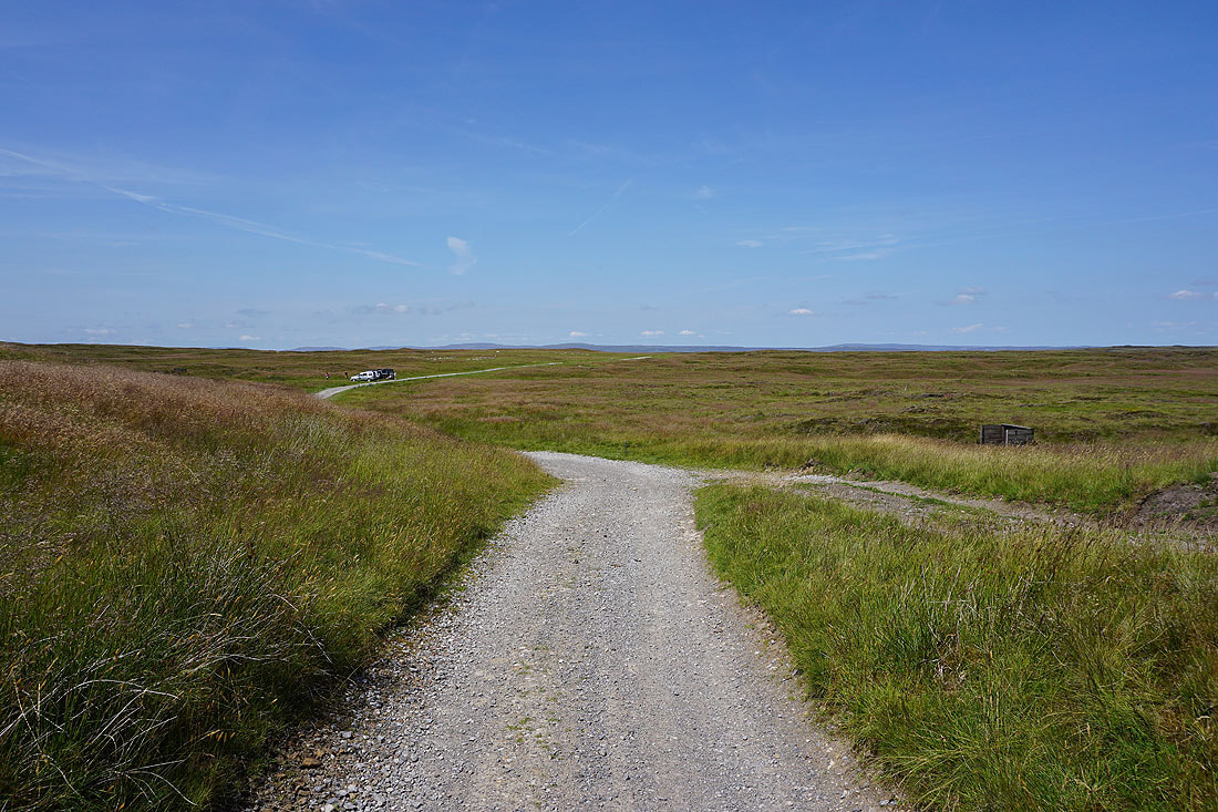
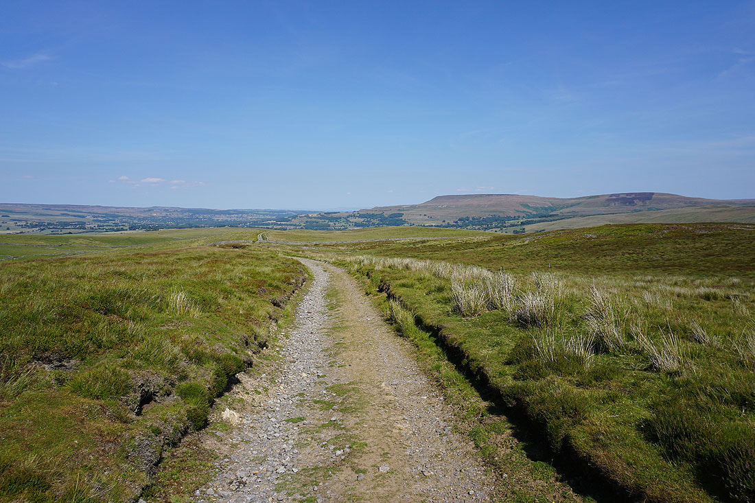
Heading down the track of Stake Road
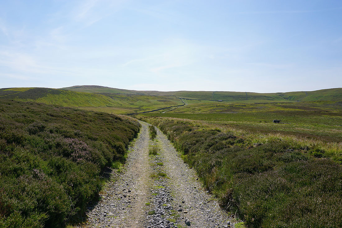
Looking back up Stake Road to the moorland of Stake Allotments
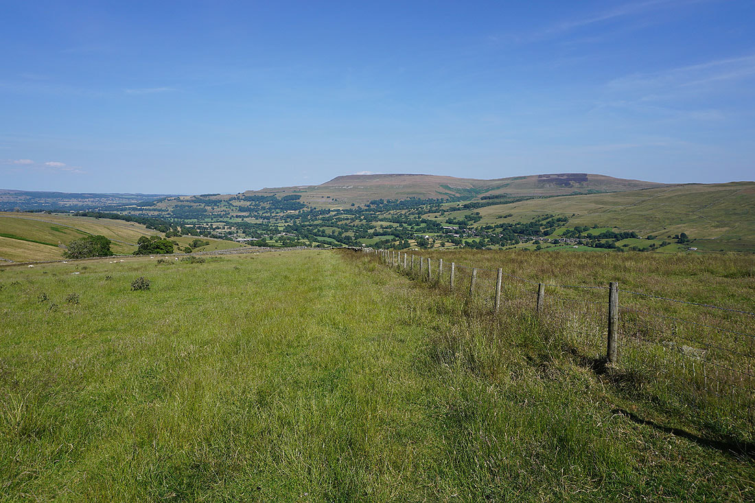
Naughtberry Hill and Buckden Pike on the other side of Bishopdale
Following the bridleway down Stake Road, and across moorland..
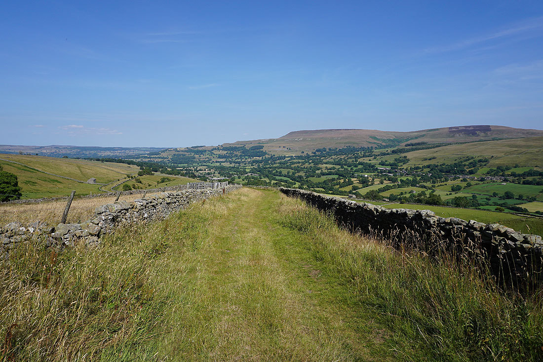
..and onto the track of Haw Lane, which will take me down to Thoralby..
Looking across Bishopdale to Height of Hazely, Harland Hill, and the village of Newbiggin below the ridge of Forelands Rigg
Nearly back in Thoralby and a last chance to get a view up the length of Bishopdale when I turn around..
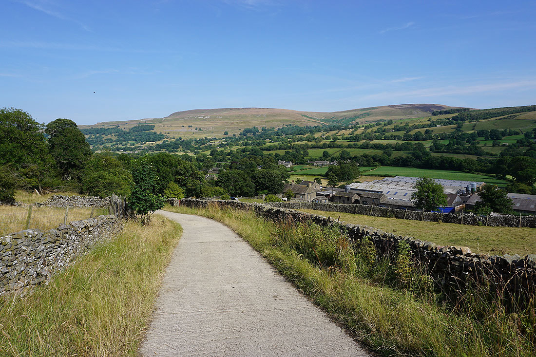
Above Old Hall Farm for the final descent into Thoralby
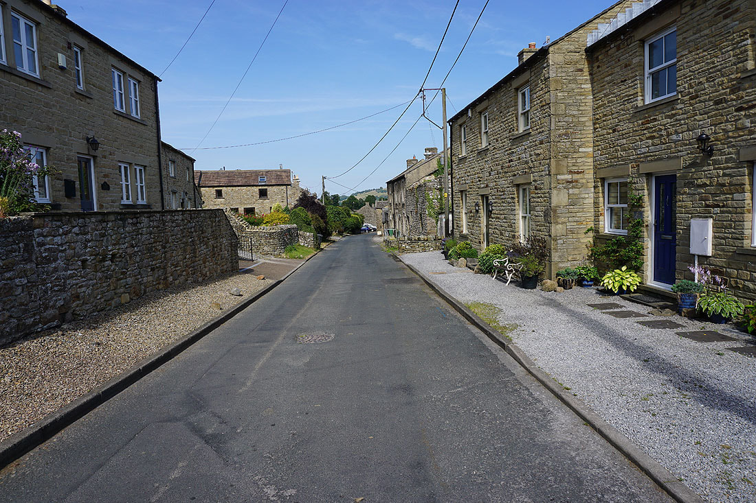
Back in Thoralby