16th June 2019 - Newsholme Dean and Wolf Stones
Walk Details
Distance walked: 13.6 miles
Total ascent: 2583 ft
OS map used: OL21 - South Pennines
Time taken: 7 hrs
Route description: Penistone Hill Country Park-Penistone Hill-Cemetery Road-West Lane-Lower Oldfield Farm-Long Bridge-Street Lane-Oldfield Lane-Harehills Lane-Turnshaw Road-Grey Scar Road-Wide Lane-Slack Lane-Newsholme-Newsholme Dean-Millennium Way-Todley Hall Road-Millennium Way-Slitheroford Farm-Morkin Bridge-Millennium Way-Keighley Moor Reservoir-Pennine Way-Wolf Stones-Pennine Way-Ponden Reservoir-Pennine Way-Bronte Way-Bronte Bridge-Bronte Way-Penistone Hill Country Park
I decided to stay close to home for my walk this weekend and make the short drive across to the Worth Valley for a walk in Bronte Country. The route that I worked out was pretty long and convoluted (which made for a full day's hike), with quite a lot of it on paths that I've walked on before, some recently. There were still new paths trodden though and I'd not been in Newsholme Dean for more than six years. Given the extensive footpath network in this area I think it will a long time before I run out. Showers were in the forecast for today, one of the reasons for not going far, and for not tackling a high fell, but I think I got off quite lightly. Although I arrived at Penistone Hill Country Park with it raining and the sun out at the same time, the rest of the day was mostly dry once that initial shower had cleared. There were some warm sunny spells to enjoy for a time during the afternoon.
After parking in one of the car parks at Penistone Hill Country Park I made my way up to the trig point on Penistone Hill and then down to Cemetery Road on the north side of the hill. There was then a short walk down to West Lane to reach a footpath down past Lower Oldfield Farm to Long Bridge over the River Worth. Once across the bridge I followed the footpath north up the hillside to Lower Scholes before heading west to pick up the track of Street Lane up to Oldfield Lane. I crossed Oldfield Lane and took the footpath opposite up to Harehills Lane, where I turned left and walked up to the Grouse Inn and the track of Turnshaw Road. This was then followed east towards Oakworth, it becomes Grey Scar Road, and when I'd almost reached Oakworth I left it for a footpath on the left to reach Wide Lane. I walked up Wide Lane, past Oakworth Cricket Club, to the T-junction with Slack Lane, crossed Slack Lane and took the footpath just to the left down to Newsholme Beck and up to the hamlet of Newsholme. From Newsholme I took the bridleway down into Newsholme Dean and across Dean Beck where I picked up the trail of the Millennium Way. This trail was then followed west up to Todley Hall Road,then back down into Newsholme Dean, and past Grey Stones Farm to Slitheroford Farm on Slippery Ford Lane. After a short walk down the lane I reached Morkin Bridge, where I took the access road up to Keighley Moor Reservoir. From the reservoir I then followed a path uphill to the west to join the trail of the Pennine Way as it heads north towards Wolf Stones. The Pennine Way bypasses the trig point, so I left the trail to visit it. On returning to the Pennine Way I followed the trail south down into the Worth Valley to Cragg Bottom Road, along Cragg Bottom Road and Dean Edge Road, and then down by Dean Fields to Hob Lane. I kept on the trail as it made its way around Ponden Reservoir, up to and past Buckley Farm and then up onto The Height. This was where I finally left the Pennine Way for the Bronte Way down to Bronte Bridge. I then followed the Bronte Way east to Moor Side Lane, and the short walk up the road to where I was parked.
Route map
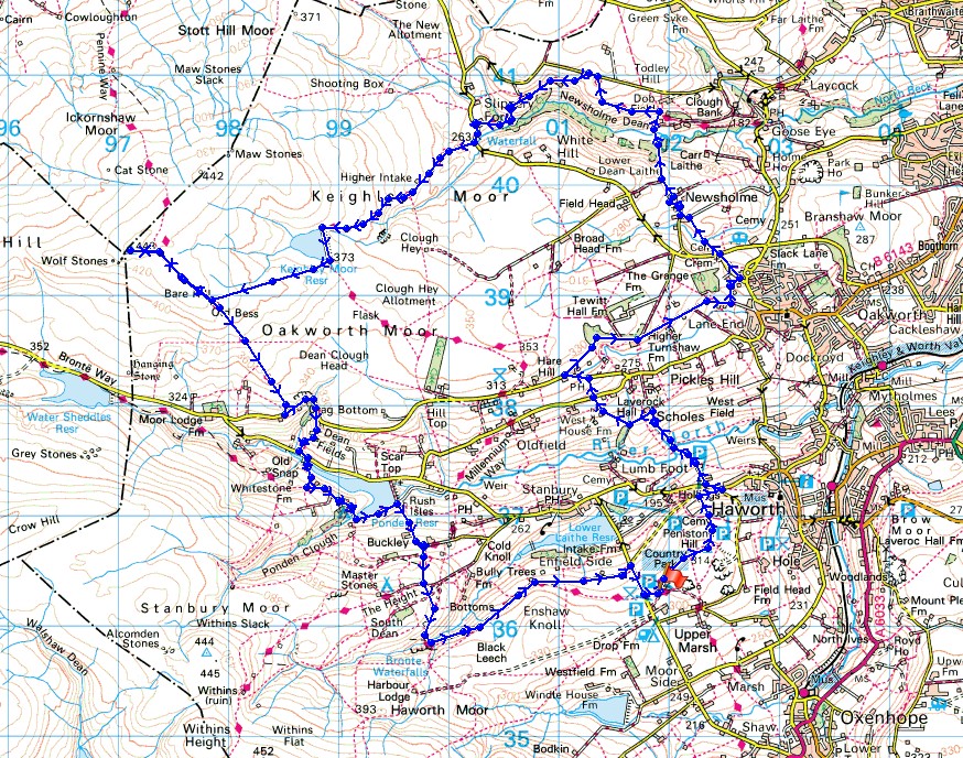
© Crown copyright. All rights reserved. License number PU 100034184.
The view across the Worth Valley from where I'm parked on Penistone Hill. The sun may be out but there's rain in the air too..
Nab Hill in the distance
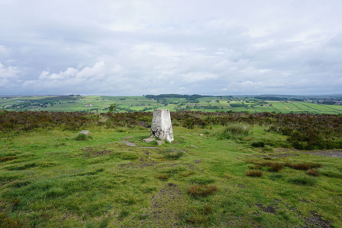
At the trig point on Penistone Hill
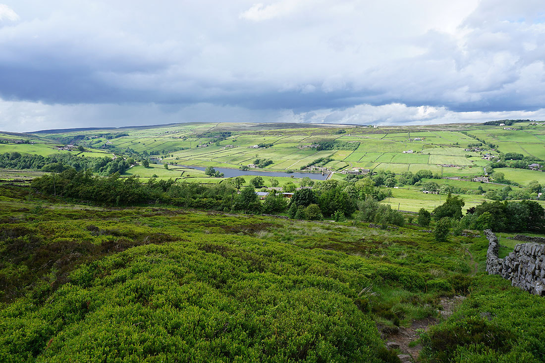
Lower Laithe Reservoir, Stanbury, the Worth Valley and Oakworth Moor
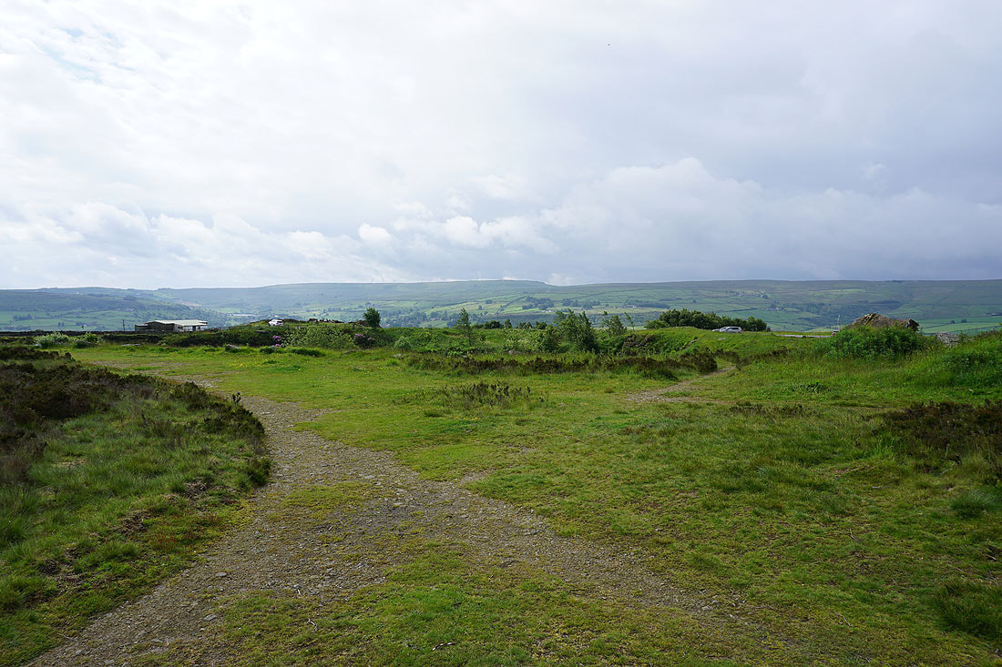
There's a hint of a rainbow as I leave Penistone Hill to head down to the River Worth
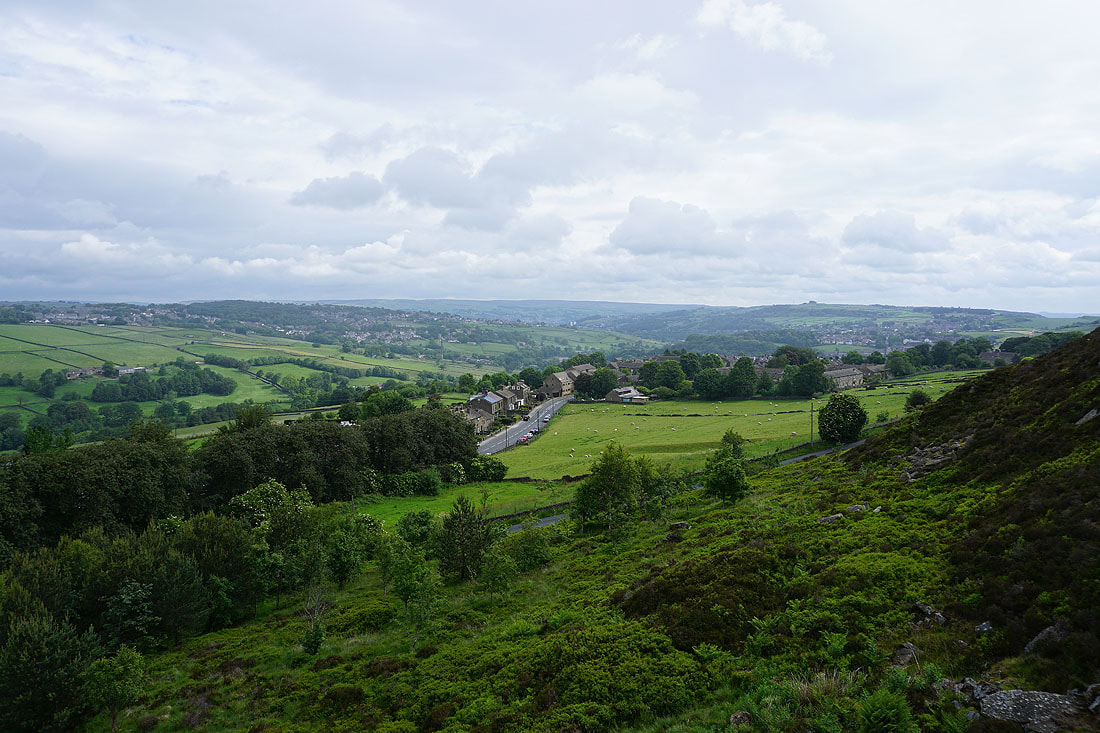
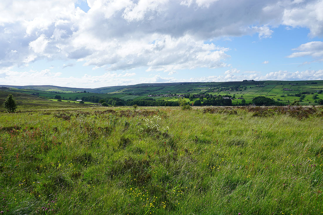
Looking towards Oakworth and Haworth
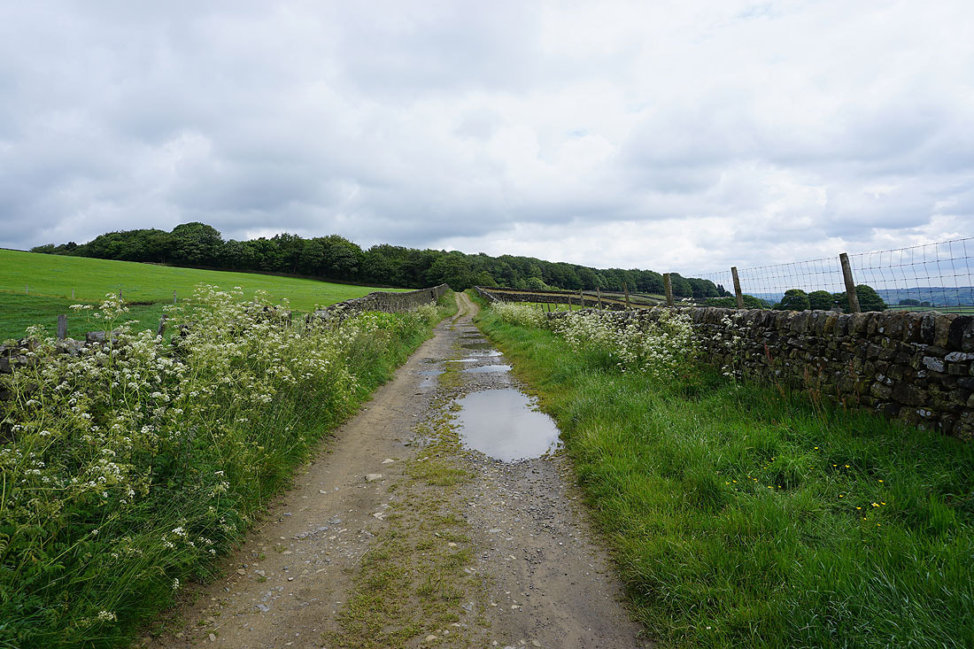
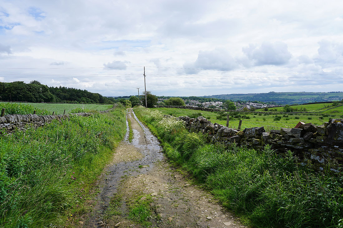
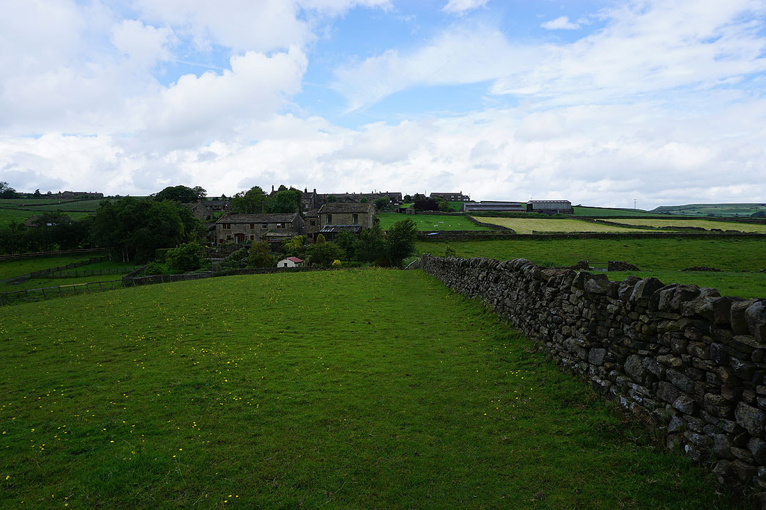
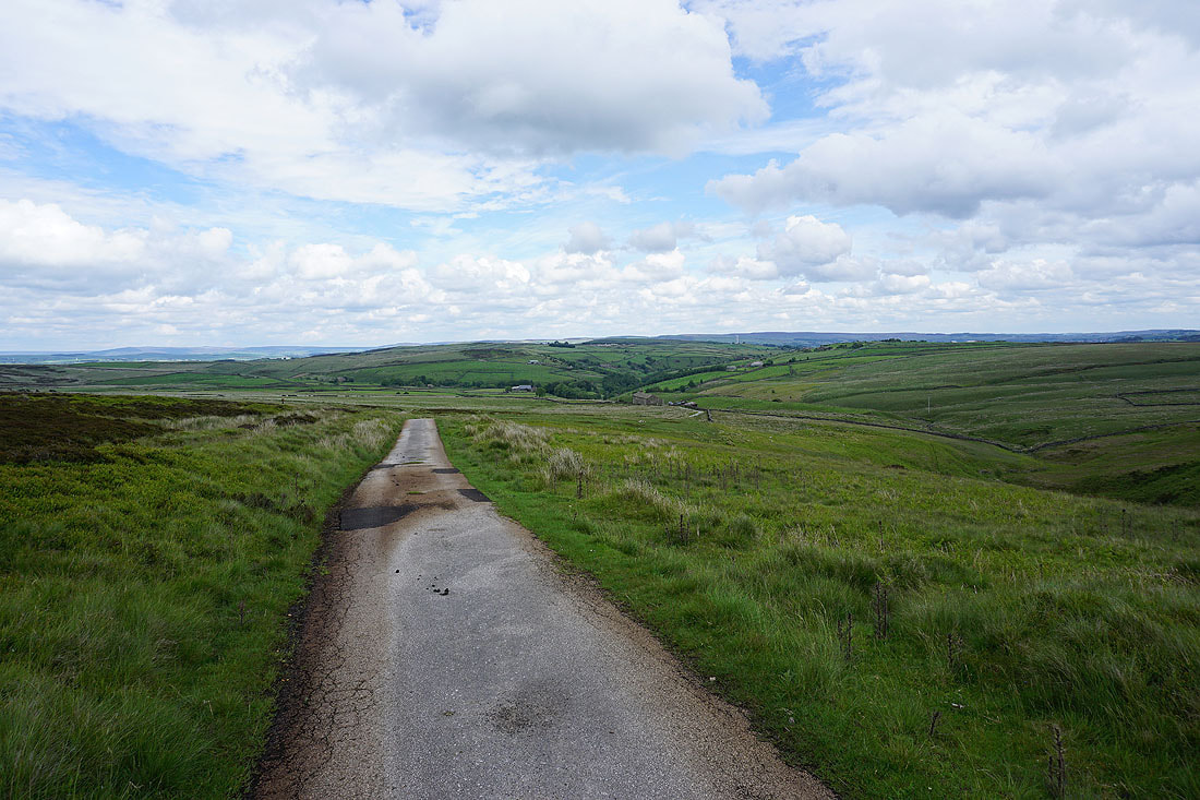
Having crossed the road below Penistone Hill I'm following the footpath past Lower Oldfield Farm down to the River Worth
Across the River Worth via Long Bridge..
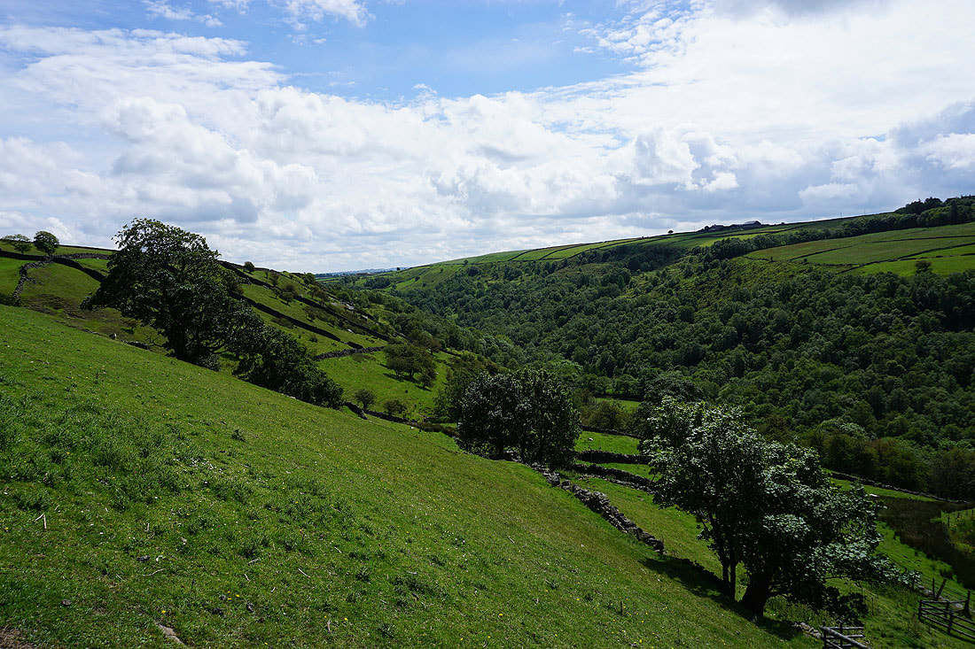
Looking up the valley of the Worth to Stanbury Moor
Then to the left, Penistone Hill across to Haworth Moor, with the village of Stanbury sat on top of the hillside on the right
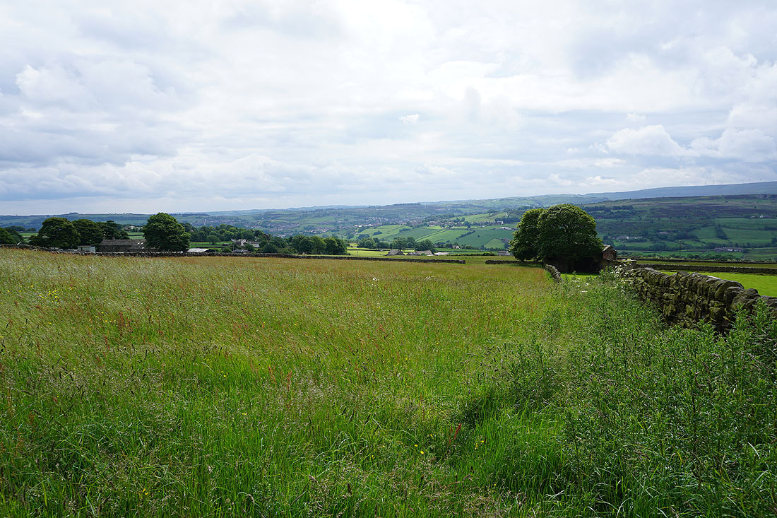
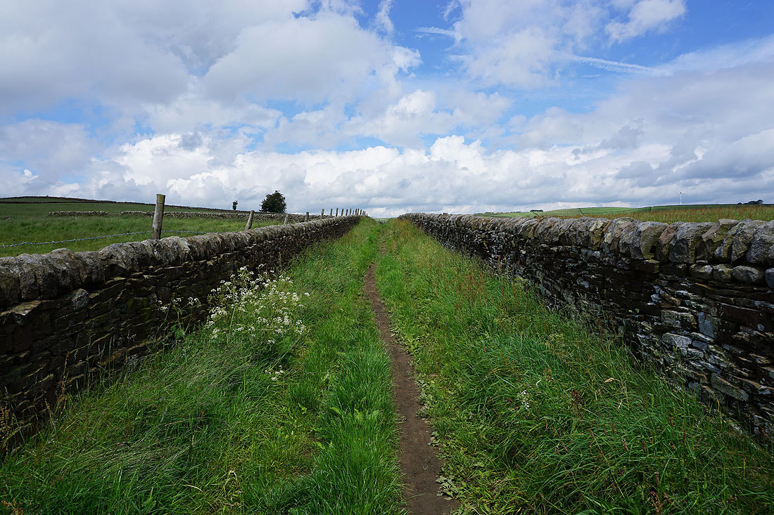
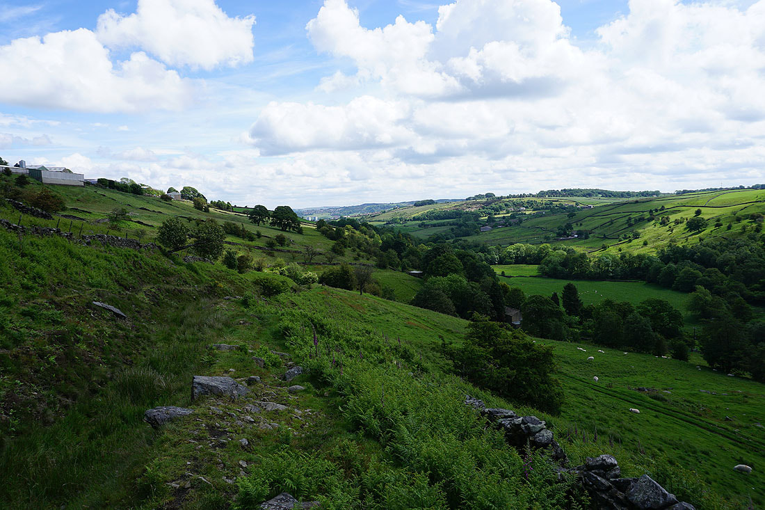
Views south across the Worth Valley to Stanbury Moor, Stanbury and Haworth Moor after crossing Oldfield Lane..
Onto the bridleway of Turnshaw Road opposite the Grouse Inn
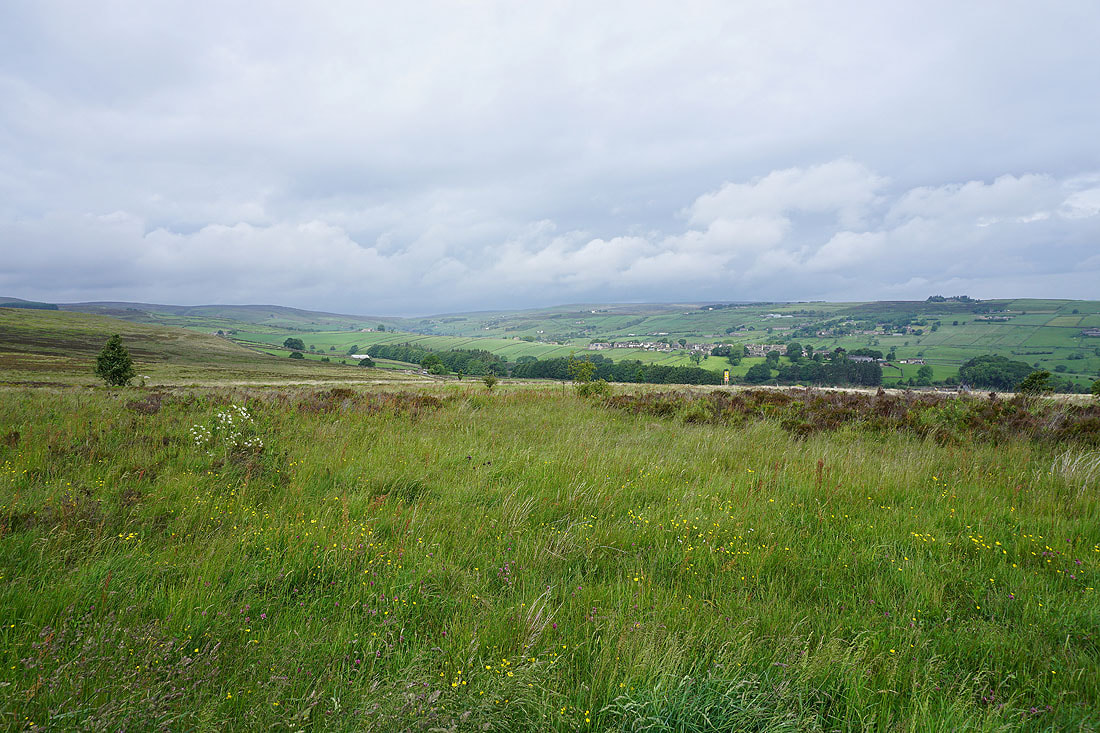
Looking towards Cross Roads and Haworth
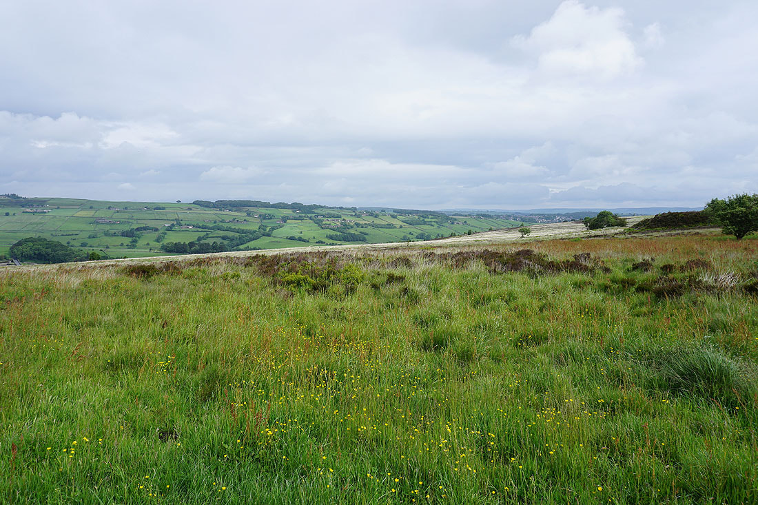
Penistone Hill, Haworth Moor and Stanbury with Nab Hill and Oxenhope Moor in the distance
Following Tunshaw Lane towards Oakworth..
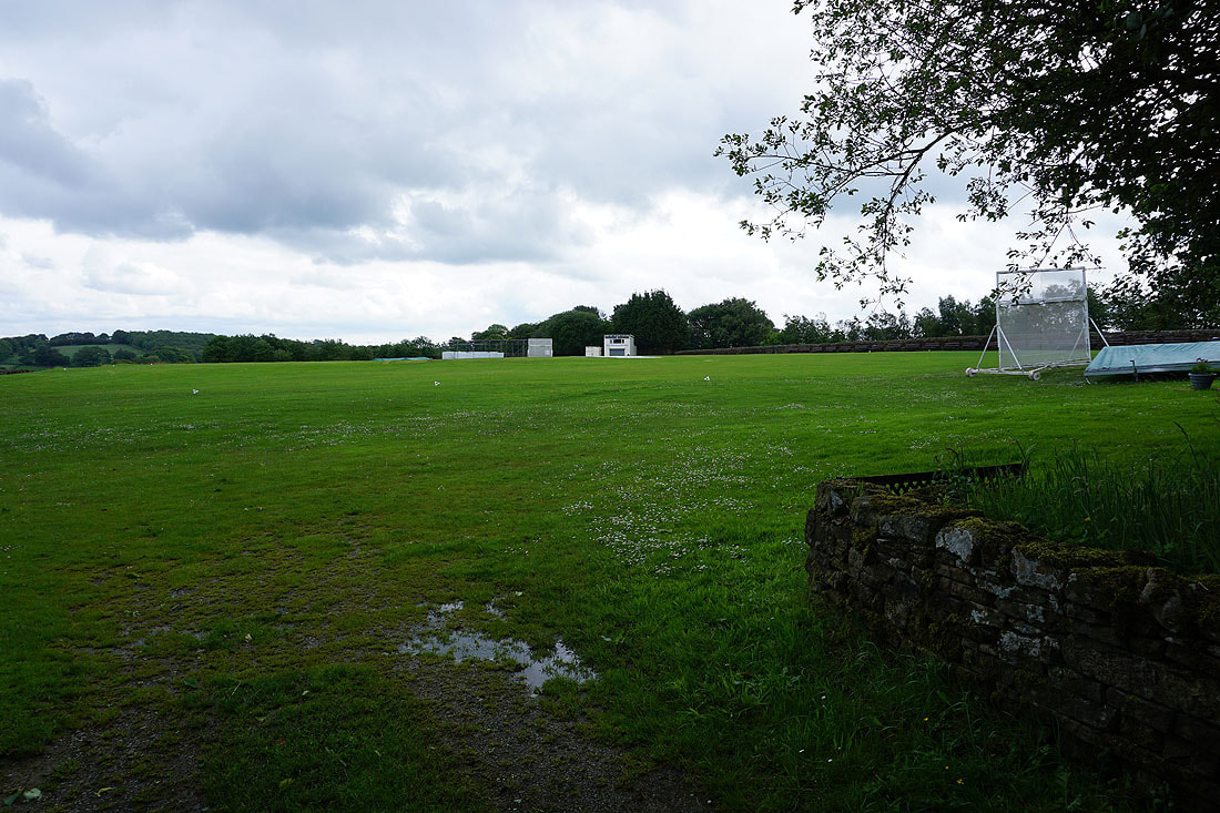
The ground of Oakworth Cricket Club
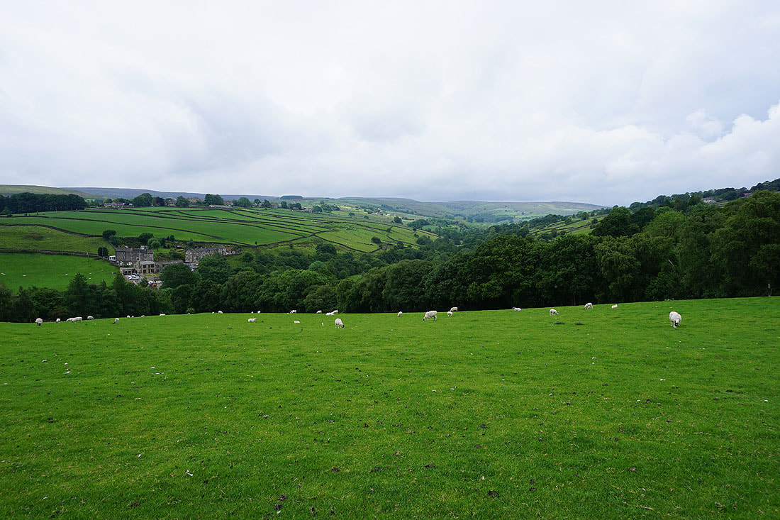
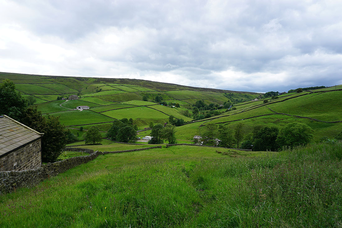
Looking down the valley of Newsholme Beck towards Laycock
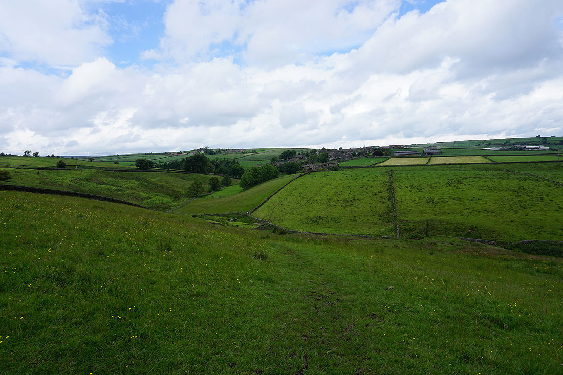
and it's down into and up the other side of that valley to reach the hamlet of Newsholme
Approaching Newsholme
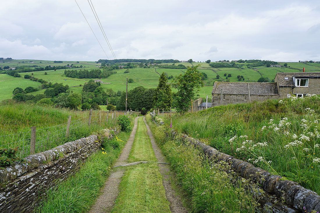
On the other side of Newsholme and on the bridleway to Newsholme Dean
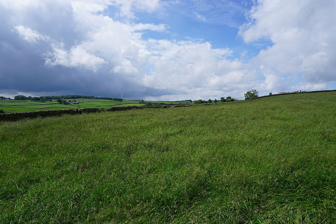
There are a few dark looking clouds around but it's still a nice summer's day
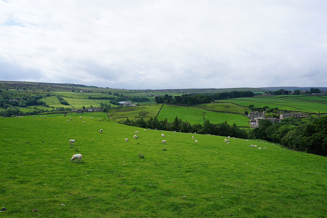
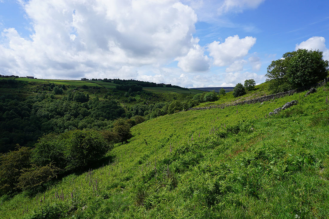
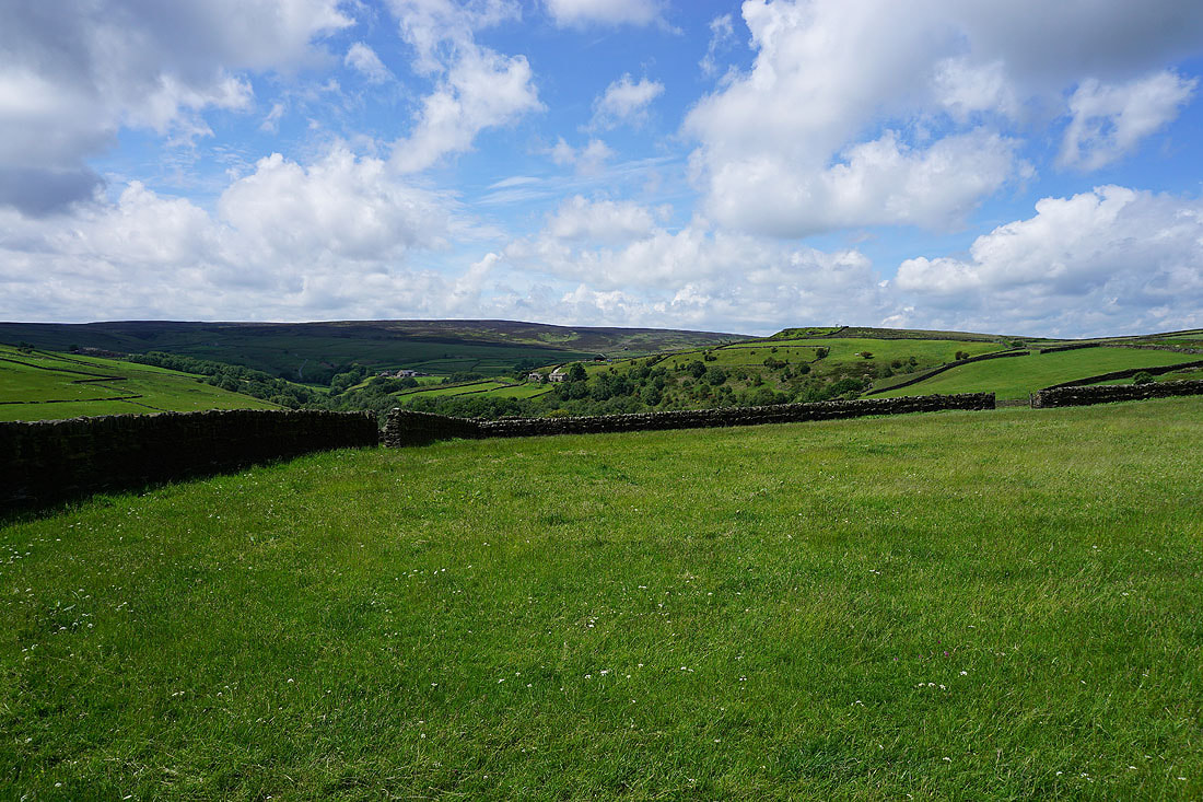
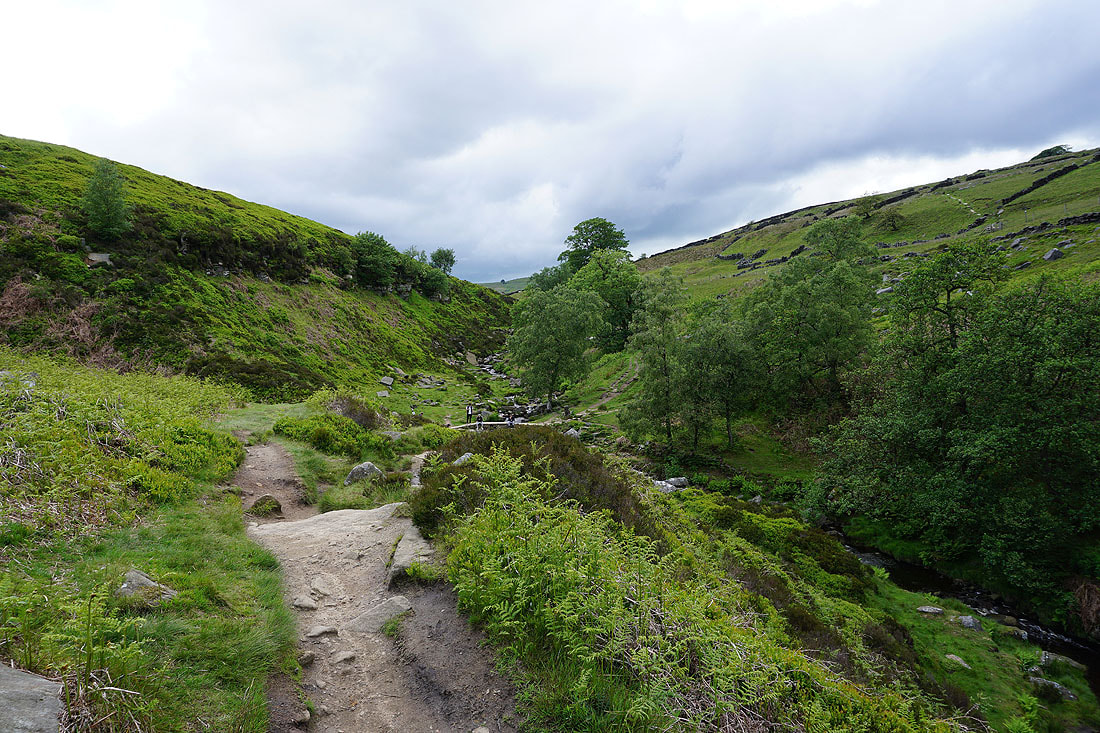
Looking across the valley of Newsholme Dean
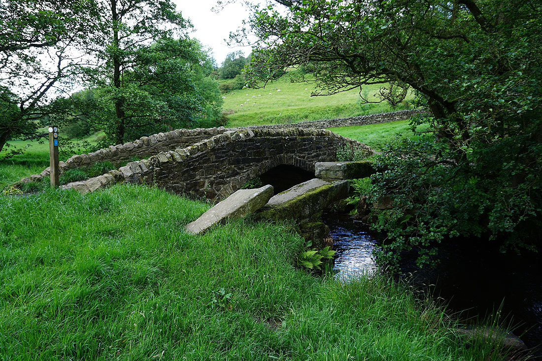
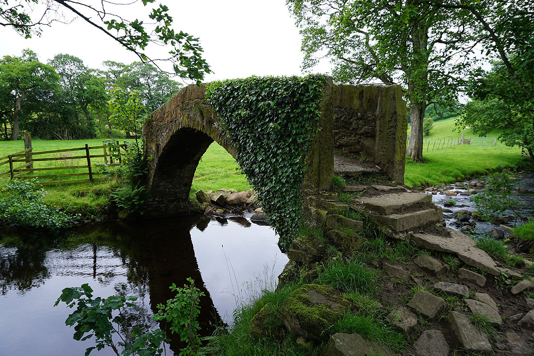
There's a choice of bridges for crossing Dean Beck
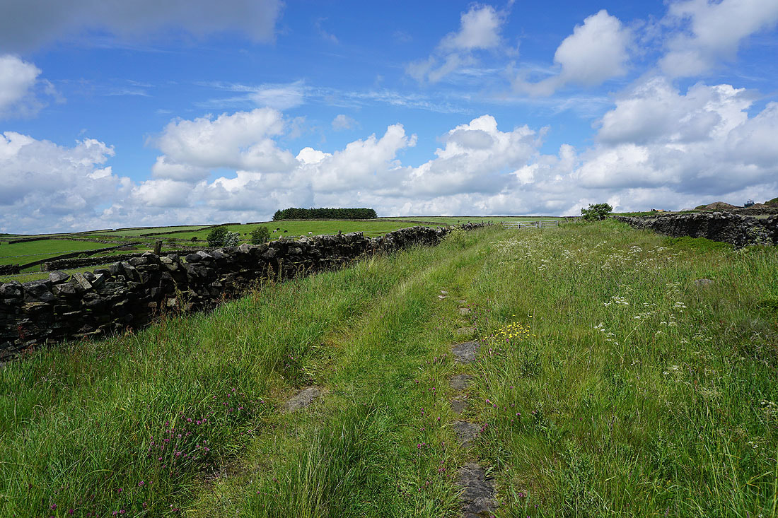
Newsholme Dean as I follow the bridleway up to Todley Hall Road..
Beautiful summer skies..
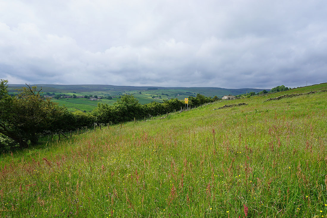
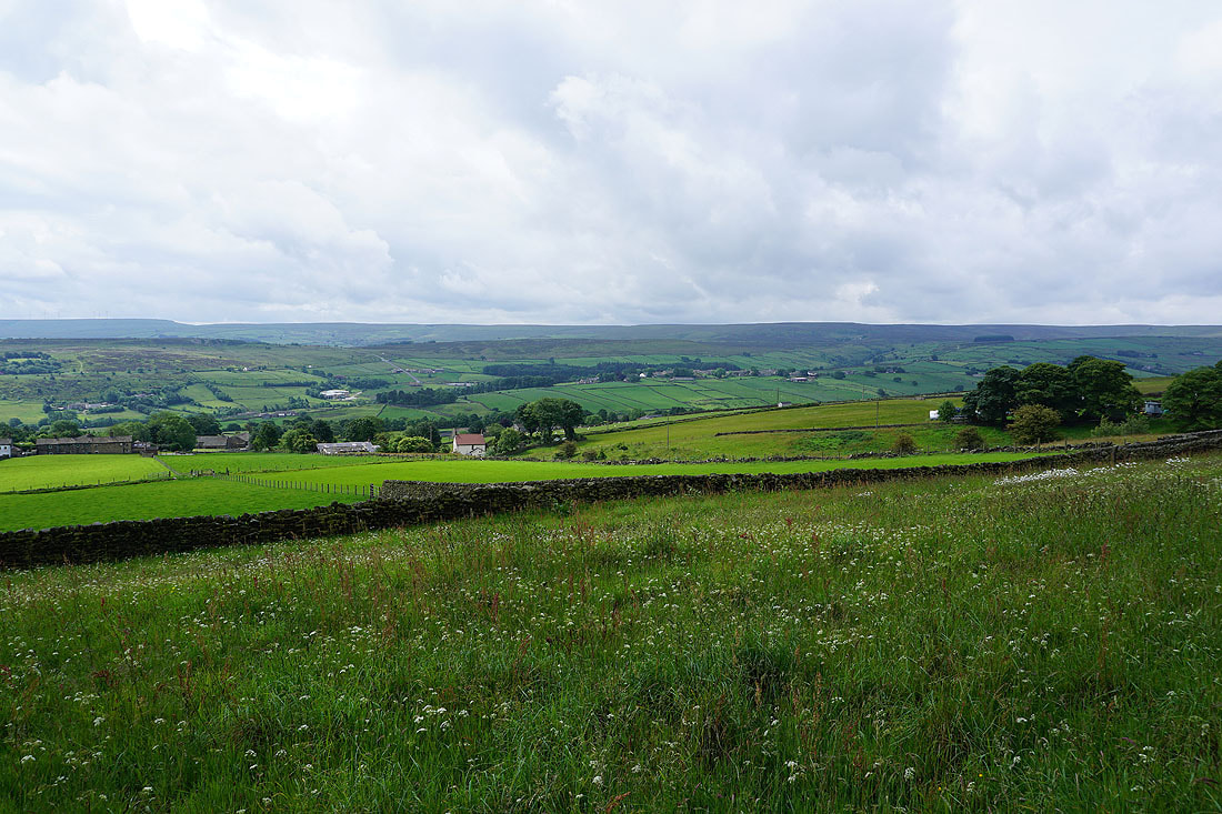
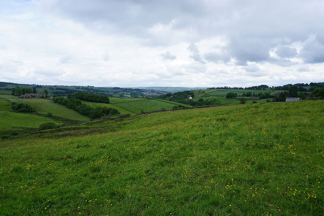
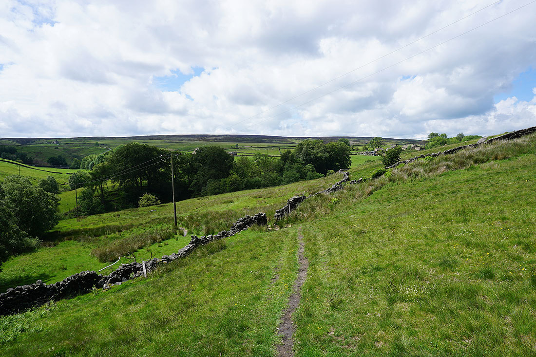
Keighley Moor in the distance
Looking back to Newsholme Dean
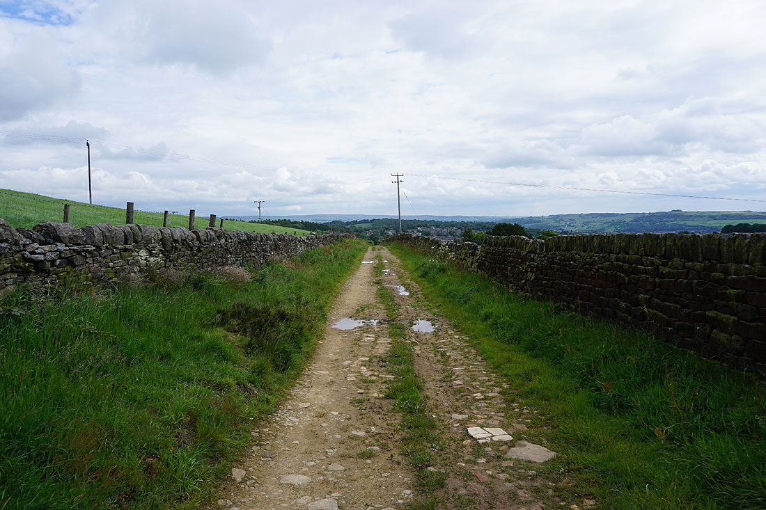
Todley Hall Road was soon left for the footpath back down into Newsholme Dean and to Grey Stones Farm
Looking down Newsholme Dean
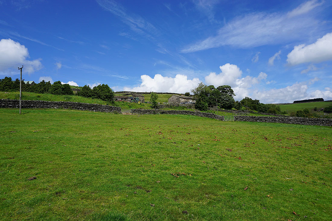
Summer skies above Grey Stones Farm
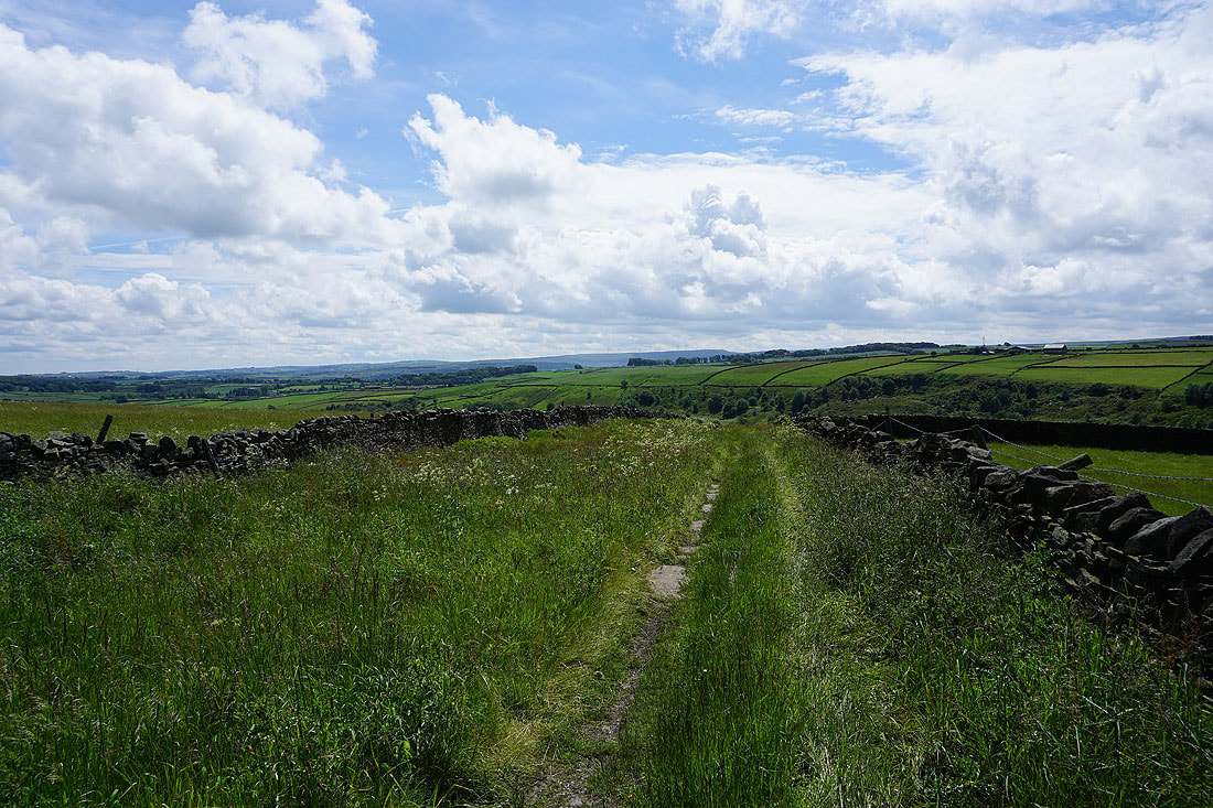
Following the footpath west to Slitheroford Farm and Morkin Bridge
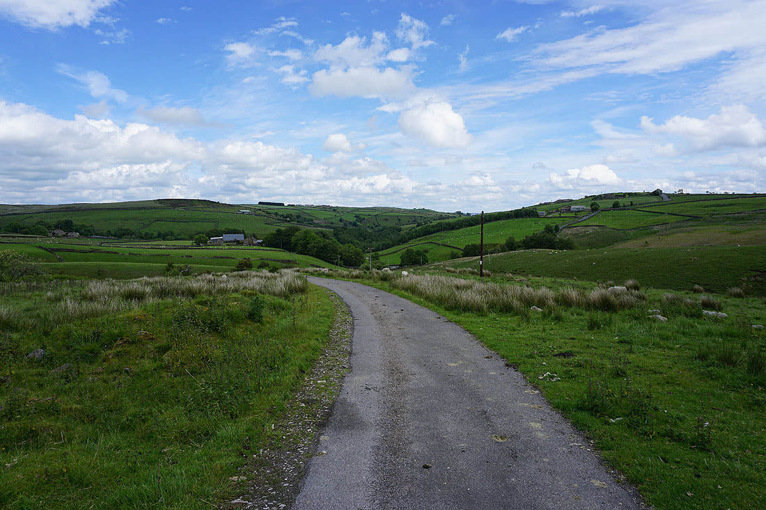
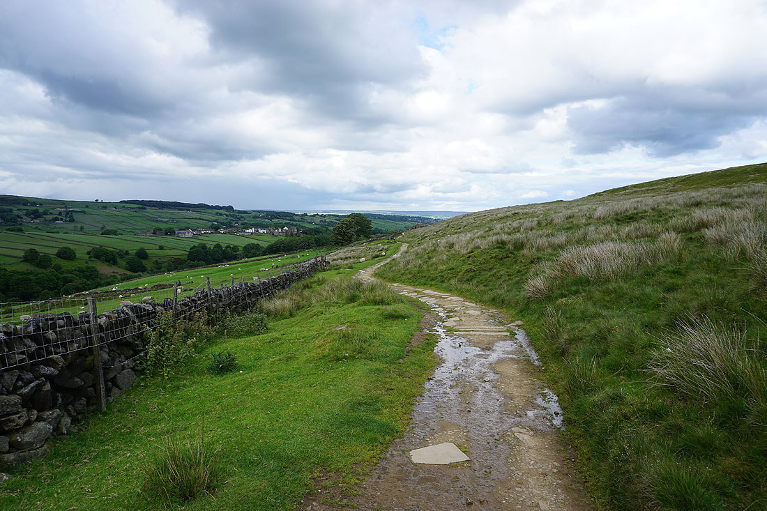
Looking back to Newsholme Dean as I walk up the access road for Keighley Moor Reservoir..
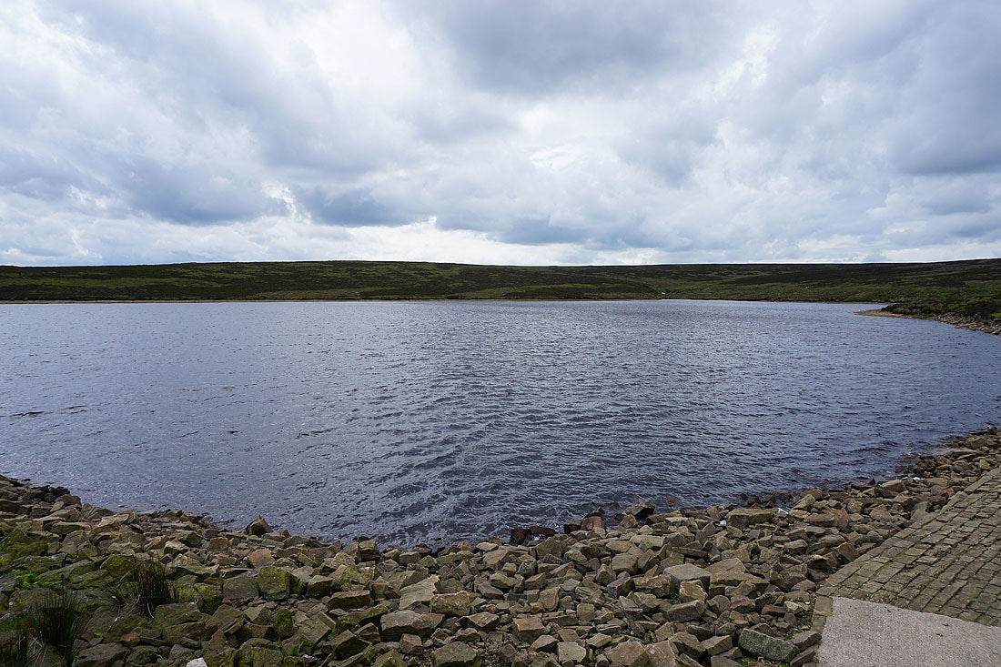
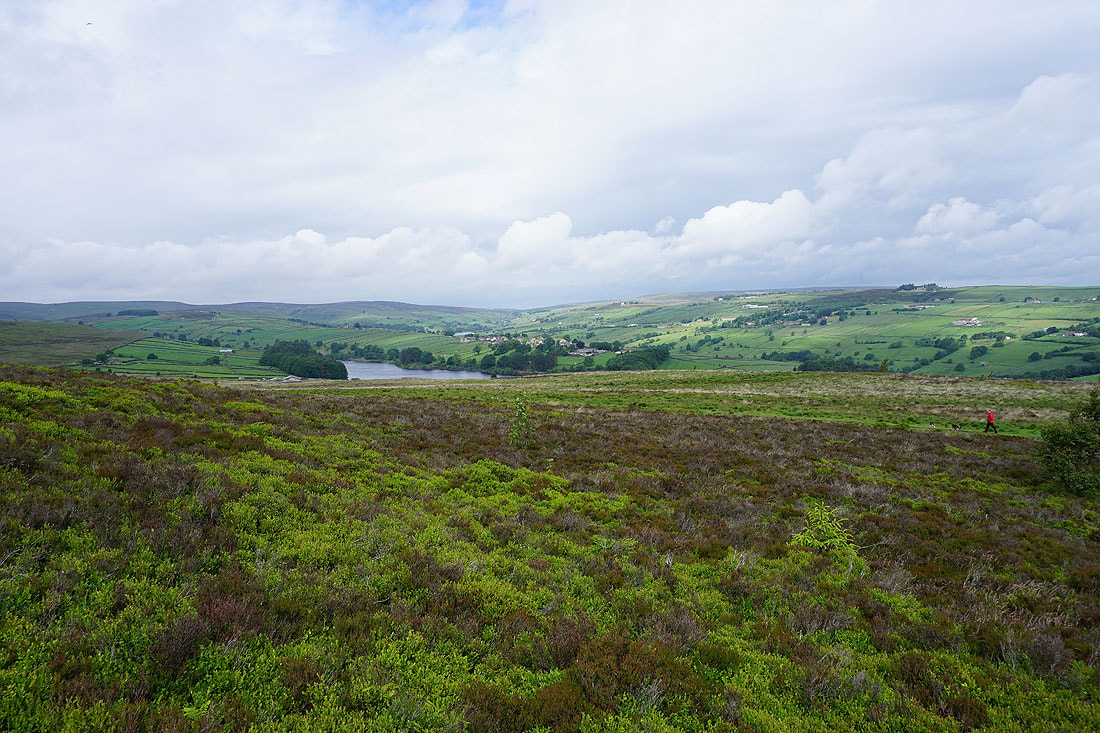
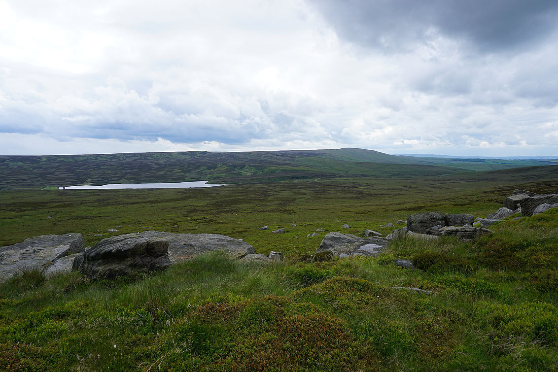
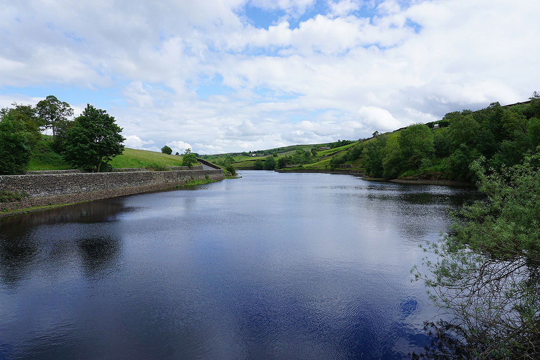
Keighley Moor Reservoir
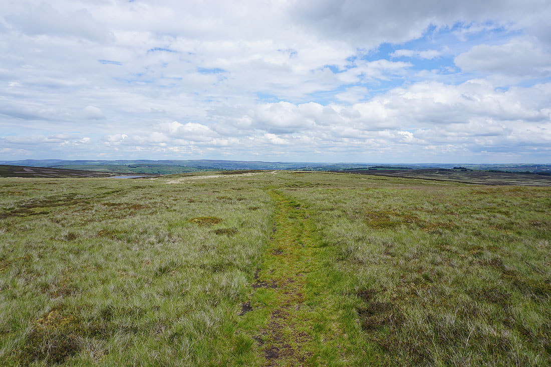
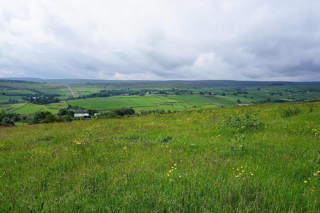
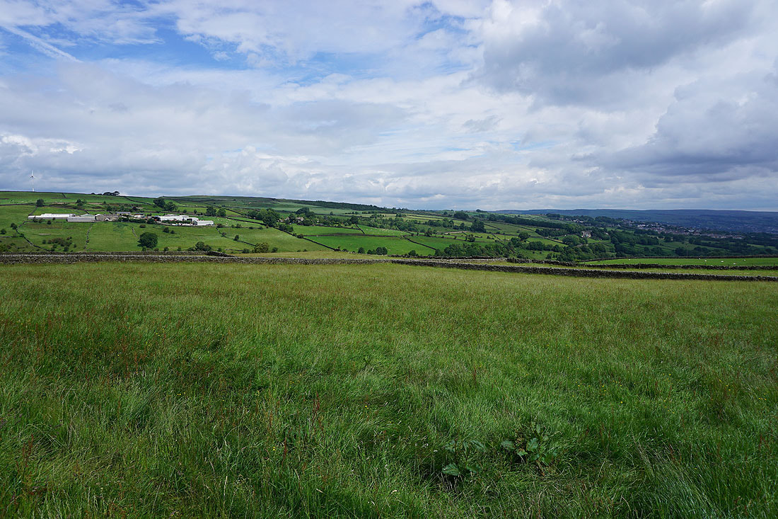
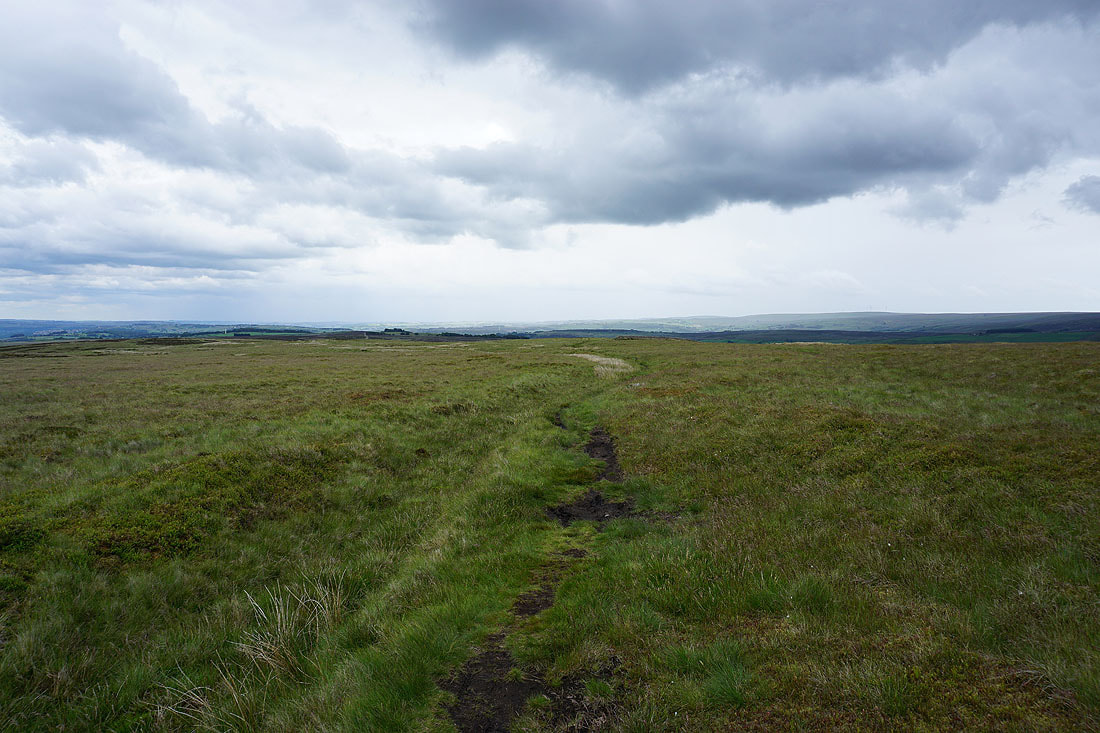
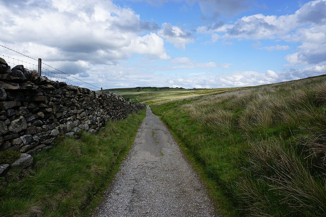
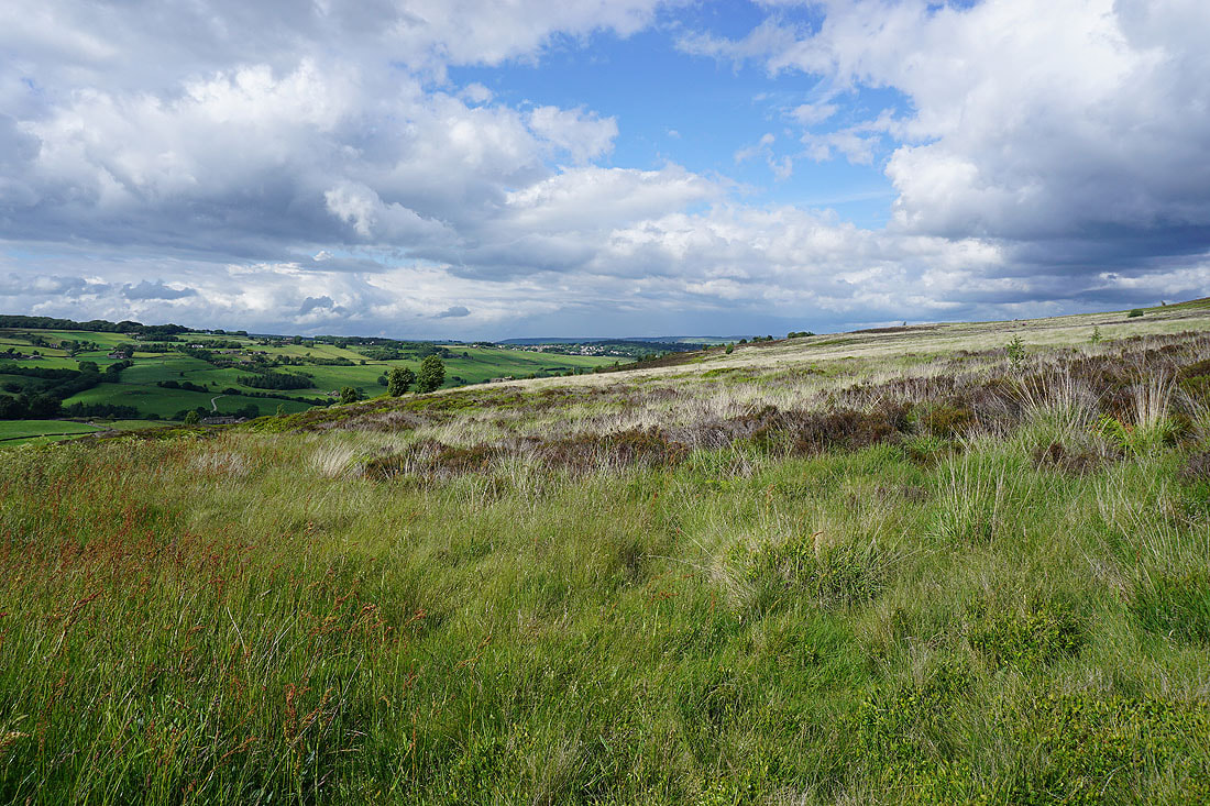
Looking back as I head up Keighley Moor and an extensive view develops to the east across Airedale
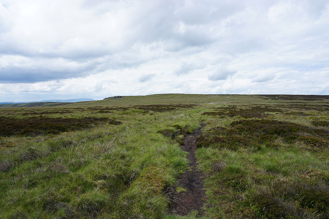
Wolf Stones appears ahead, along with Pendle Hill in the distance on the left
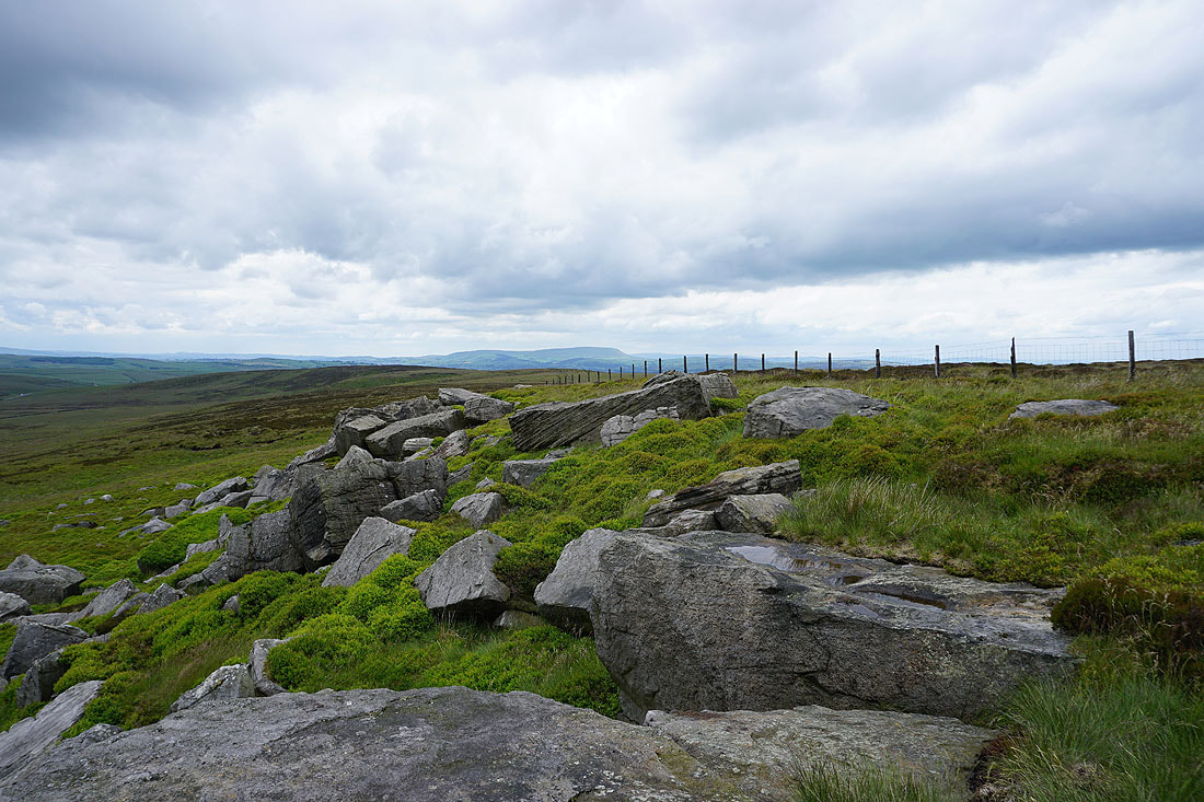
Pendle Hill from Wolf Stones
Watersheddles Reservoir and Boulsworth Hill
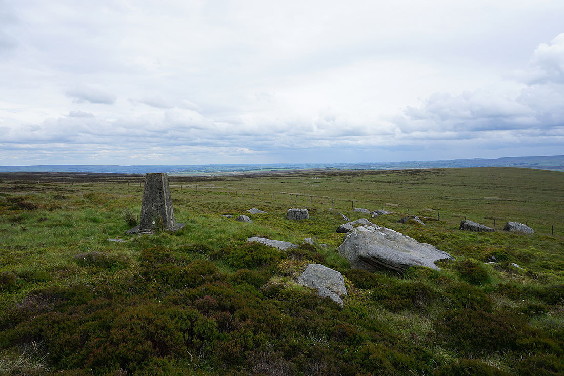
The trig point at Wolf Stones
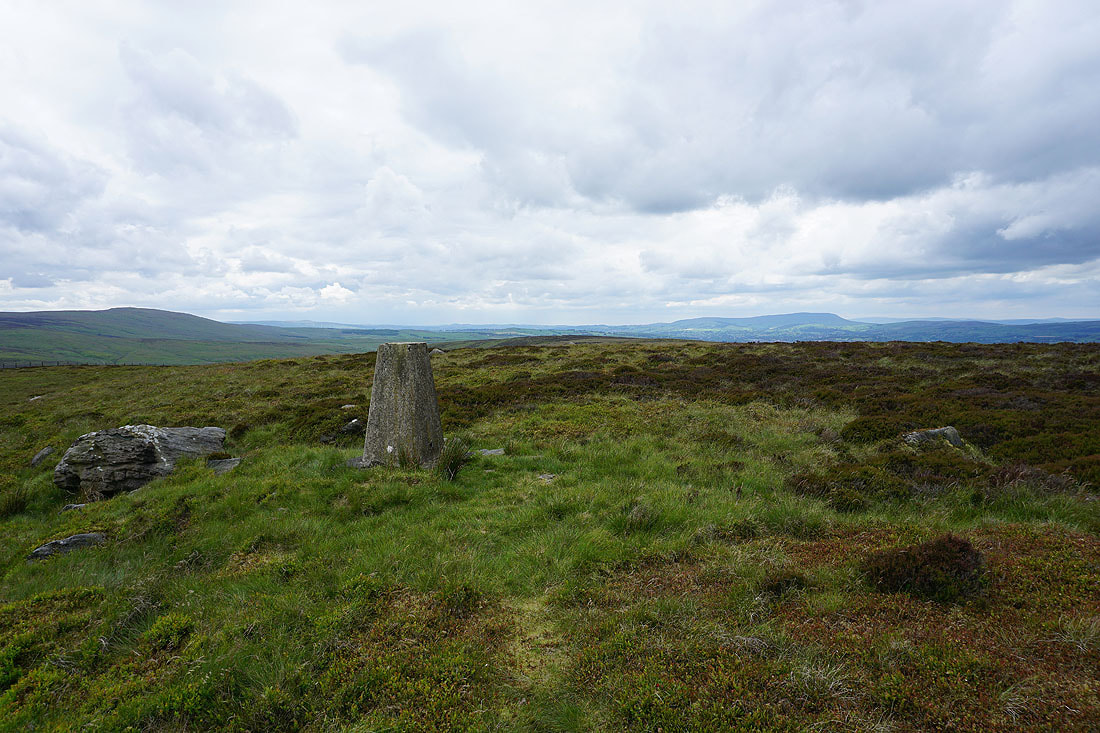
Boulsworth Hill and Pendle Hill
Dark clouds as a shower passes nearby as I leave Wolf Stones on the Pennine Way
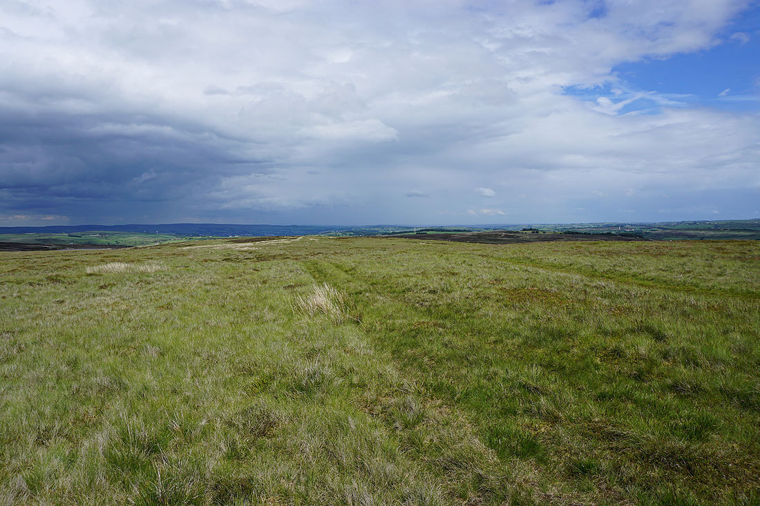
Great looking skies though as the sun comes back out a short time later
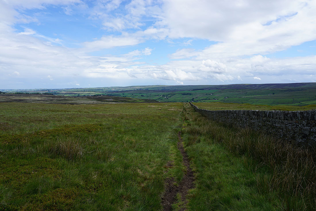
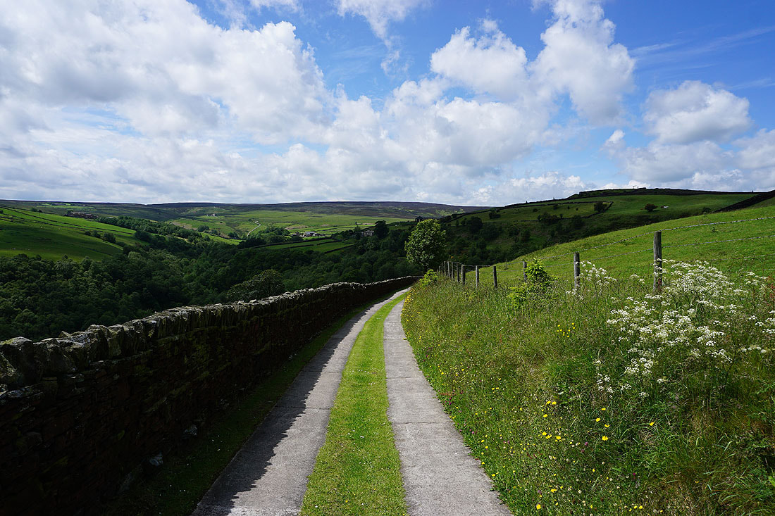
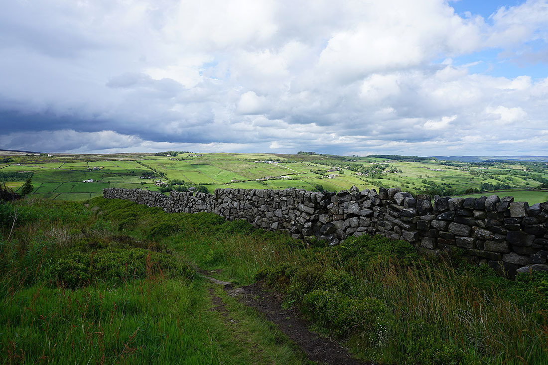
On the Pennine Way down into the Worth Valley
Looking across the Worth Valley to Crow Hill
Following the Pennine Way down past Dean Fields..
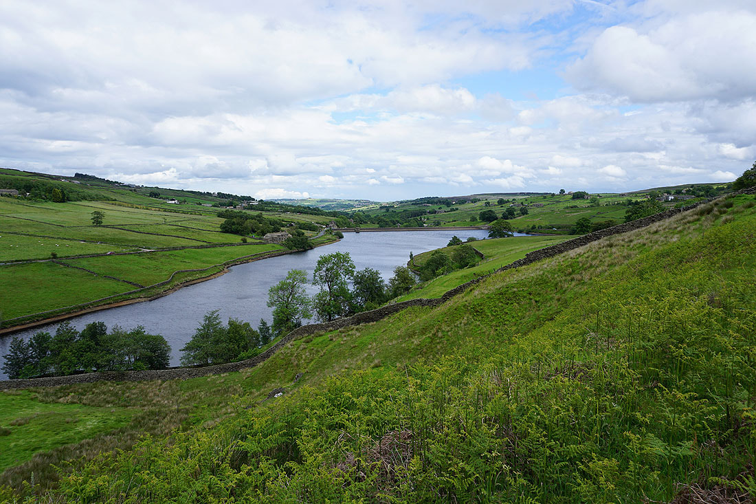
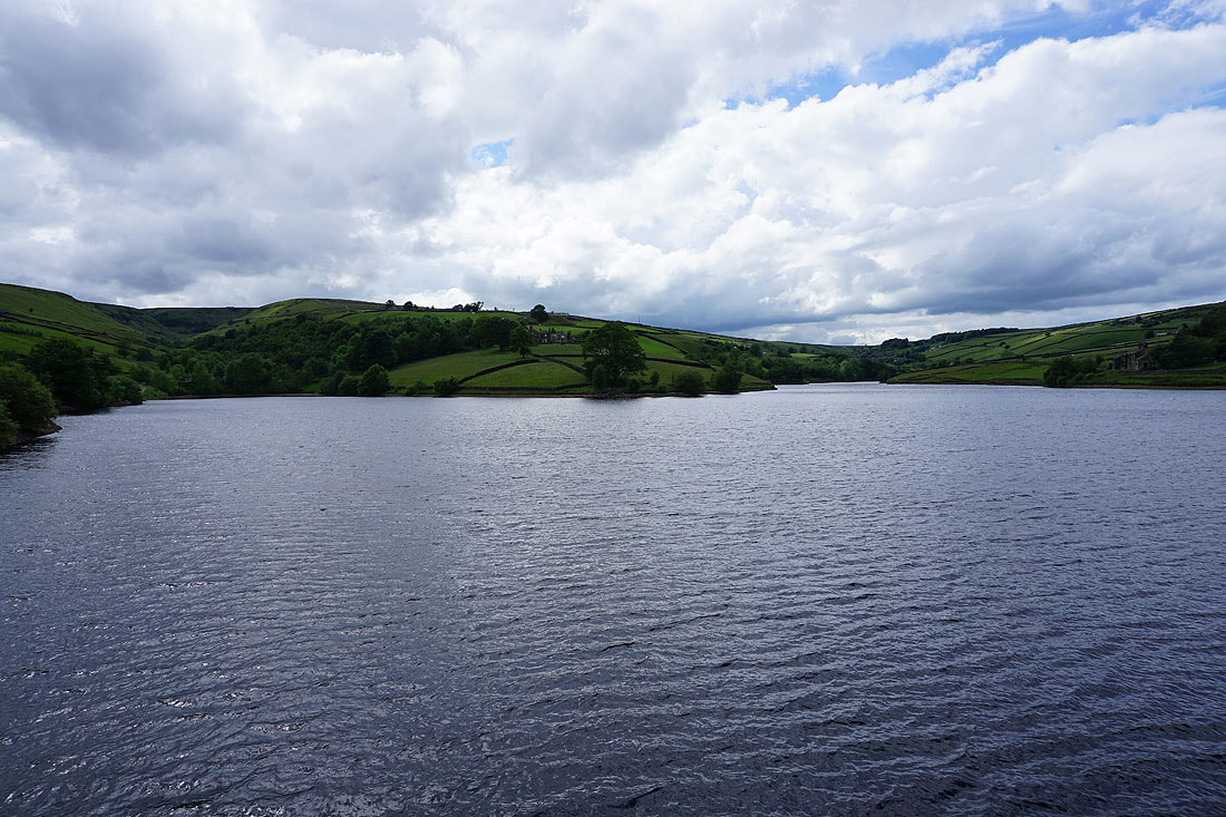
..to Ponden Reservoir...
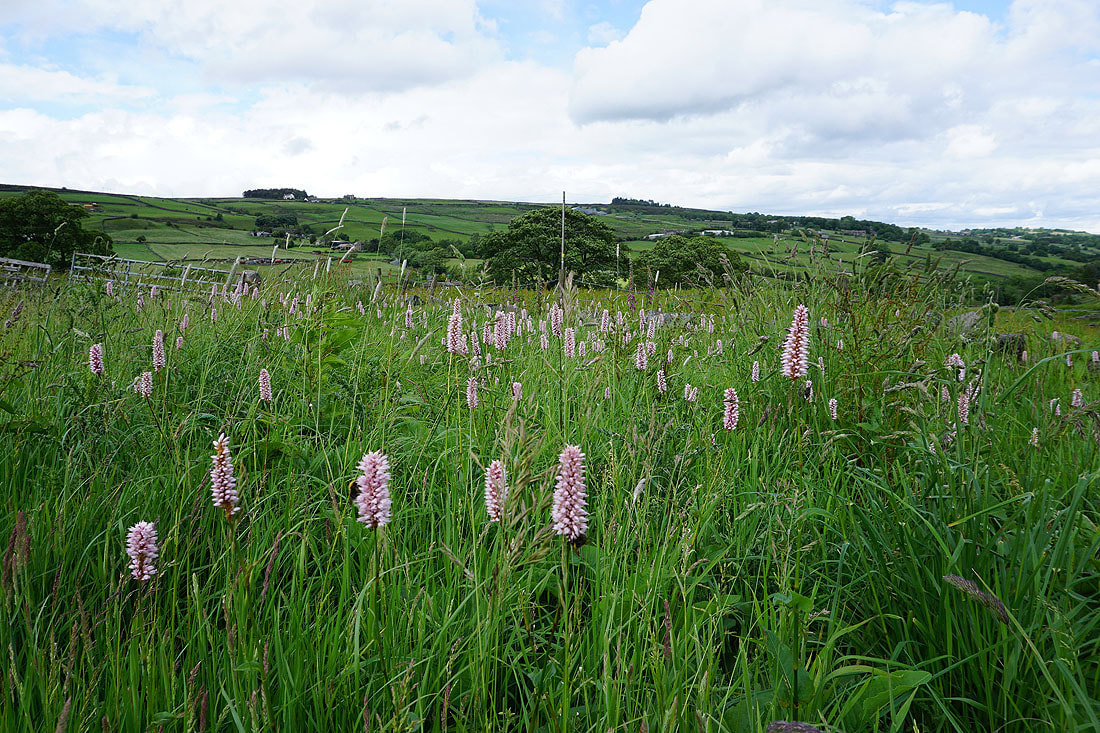
Meadow Bistort
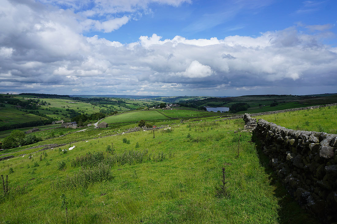
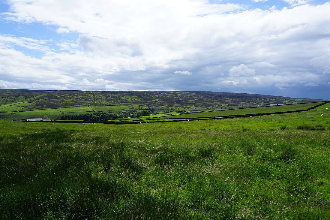
As I cross the moor to Bronte Bridge and South Dean Beck I get a great view to Stanbury and Lower Laithe Reservoir, and down the Worth Valley
Looking back to Ponden Reservoir
Oldfield on the sunlit hillside
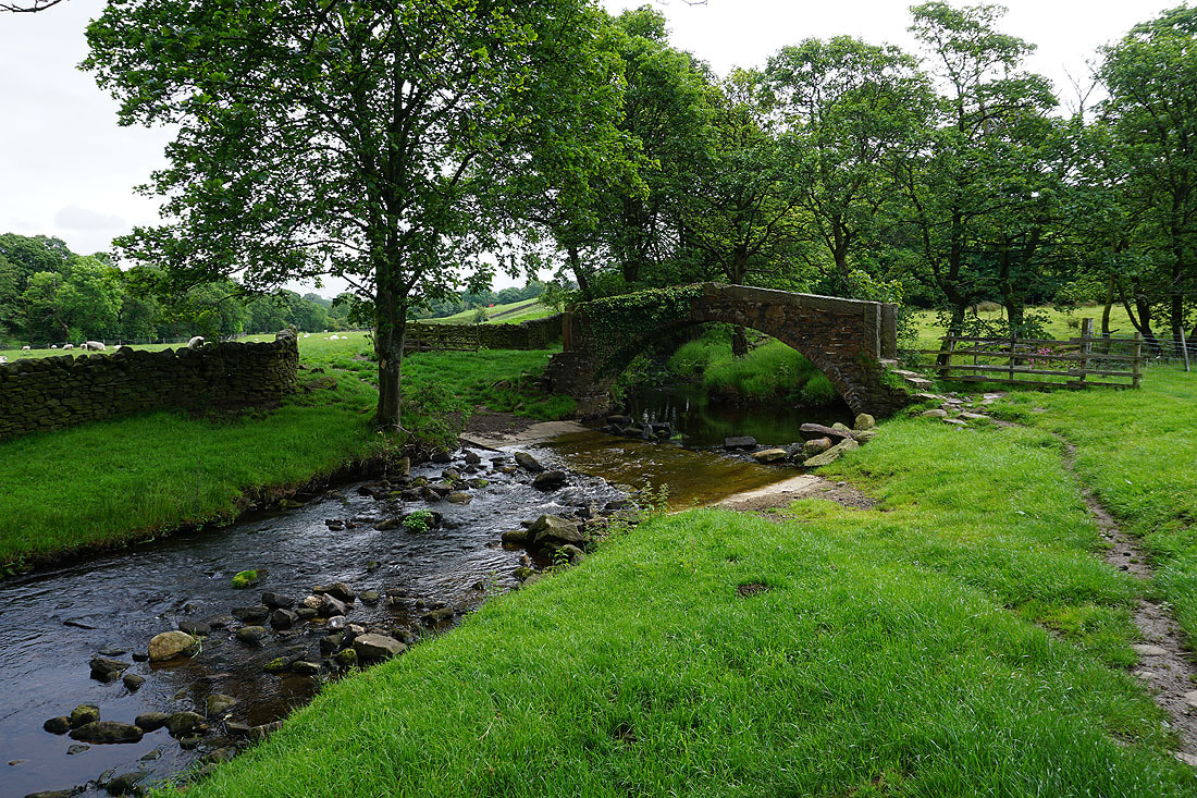
At Bronte Bridge
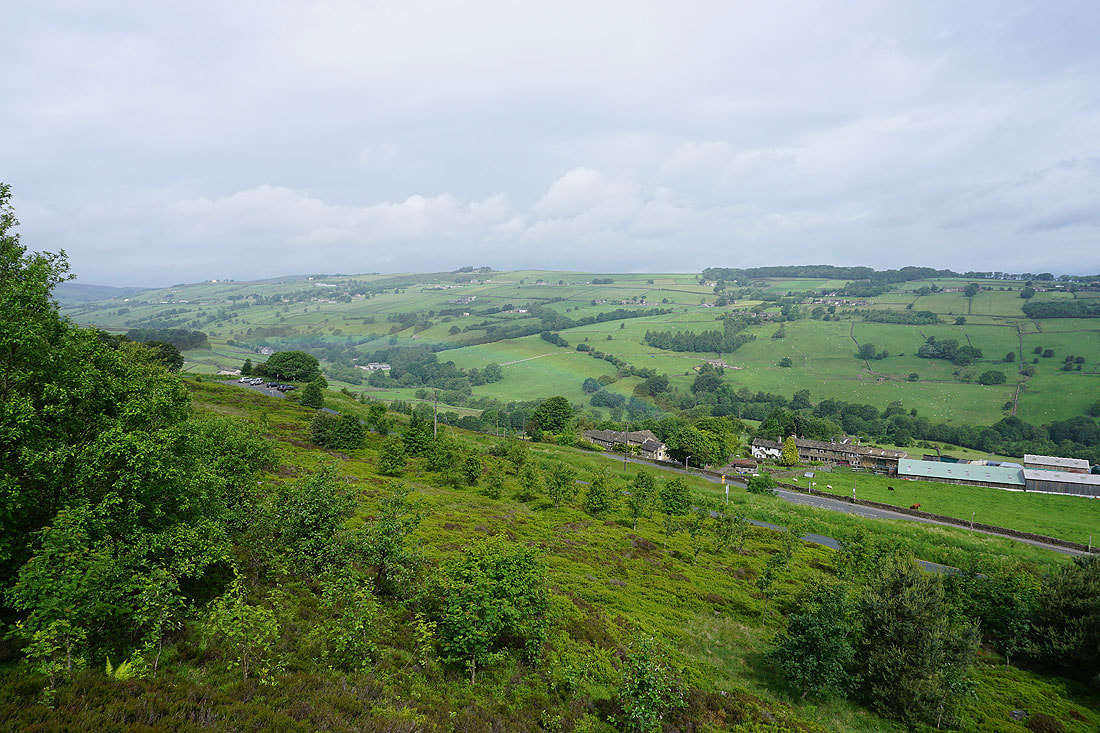
Following the Bronte Way to Moor Side Lane..
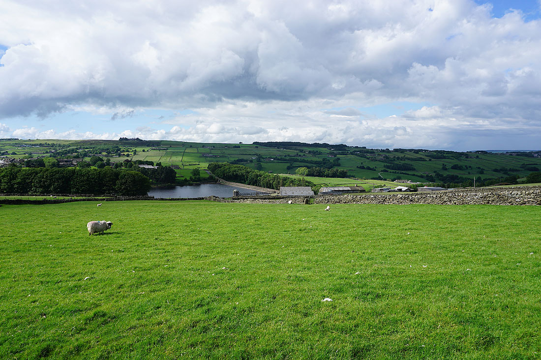
Lower Laithe Reservoir
Blue skies and sunshine across the Worth Valley as I arrive back at the car park on Penistone Hill..