16th June 2023 - Kisdon Hill
Walk Details
Distance walked: 10.7 miles
Total ascent: 1780 ft
OS map used: OL30 - Northern & Central areas
Time taken: 7hrs
Route description: Muker-Usha Gap Farm-Usha Gap Bridge-Thwaite-Angram-Keld Side-High Bridge-Low Bridge-Stonesdale Lane-East Stonesdale-Pennine Way-Keld-Pennine Way-Kisdon Hill-Muker
I've known about the wildflower meadows around Muker in Swaledale for several years, but had considered them too far away to visit for a day walk, until now. Wensleydale has seen me do many walks throughout the dale, and driving down Wensleydale from Hawes to Aysgarth for example is no further than from Hawes across to Muker in Swaledale. So I decided that today was just the time for that visit to Muker as the meadows would probably be cut for hay soon, and there was a perfect summer's day forecast for taking them in. However, I wasn't going to drive all the way to Swaledale to just see the meadows, I had to come up with a route for a full day's walk. The route that I came up with was basically a circuit of Kisdon Hill, but with extra mileage to take in the moorland to the west of Keld, and a there and back to the top of Kisdon Hill. The weather certainly made that long drive worthwhile, lots of blue skies and warm sunshine, and great visibility for taking in the views. The lack of rain during the past couple of months is now quite noticeable, the low level of the River Swale, and the dryness of the ground when I crossed the moorland from Angram to High Bridge, which I suspect would normally be pretty boggy.
After parking next to the B6270 just to the west of Muker I walked into the village and took the footpath west through the meadows to Usha Gap Farm, walked along the road to Usha Gap Bridge, then took the footpath on the right through meadows to the hamlet of Thwaite. From Thwaite I took a footpath north through fields up to Angram Lane, walked up into the hamlet of Angram, then took a footpath from the foot of Skeugh Head Lane northwest across the moorland of Keld Side and down to the B6270 at High Bridge. I then walked east along the road to Low Bridge, which I crossed over the River Swale, to walk up a track and take the footpath east above Cotterby Scar to Stonesdale Lane. After a brief walk down Stonesdale Lane I took a bridleway on the left along a track to pick up the Pennine Way down to and across the River Swale, and from there I left the Pennine Way to take the bridleway up into Keld. Once I'd taken refreshments at Park Lodge in Keld I made my way back to the Pennine Way and followed it south across the side of Kisdon Hill, until I reached a point where I left it to climb access land to reach the bridleway above that crosses Kisdon Hill from Muker to Angram Lane south of Keld. I followed this bridleway west for a short distance until I reached a gate in a wall, I didn't go through the gate, but made my way north across the moor to reach the cairn that marks the top of Kisdon Hill. Once I'd taken in the view I retraced my steps back to the bridleway, then followed it south down to Muker to return to where I'd parked by the B6270.
Route map
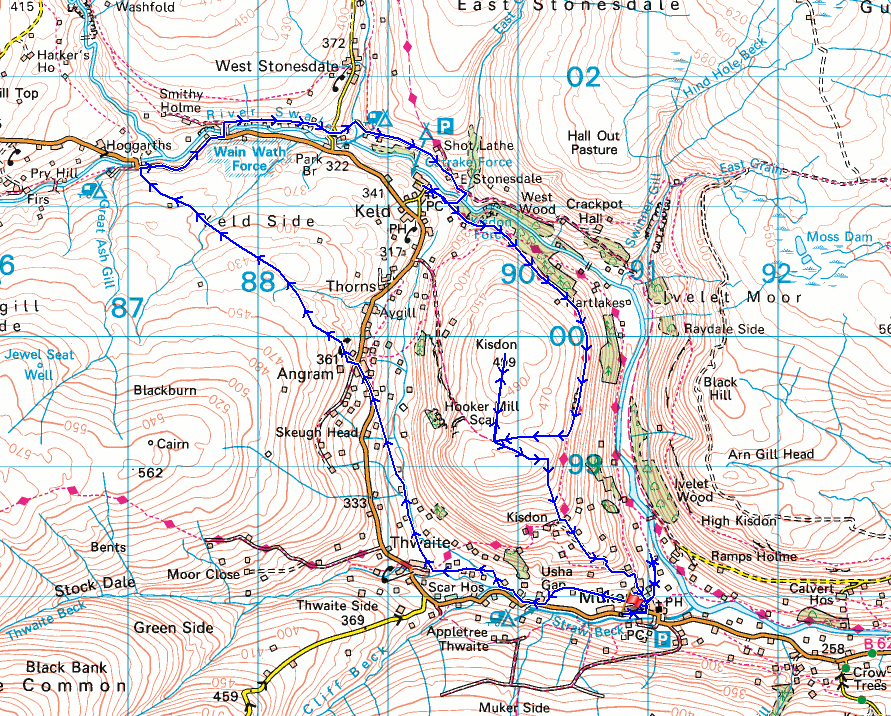
© Crown copyright. All rights reserved. License number PU 100034184.
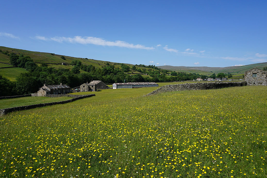
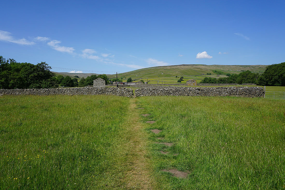
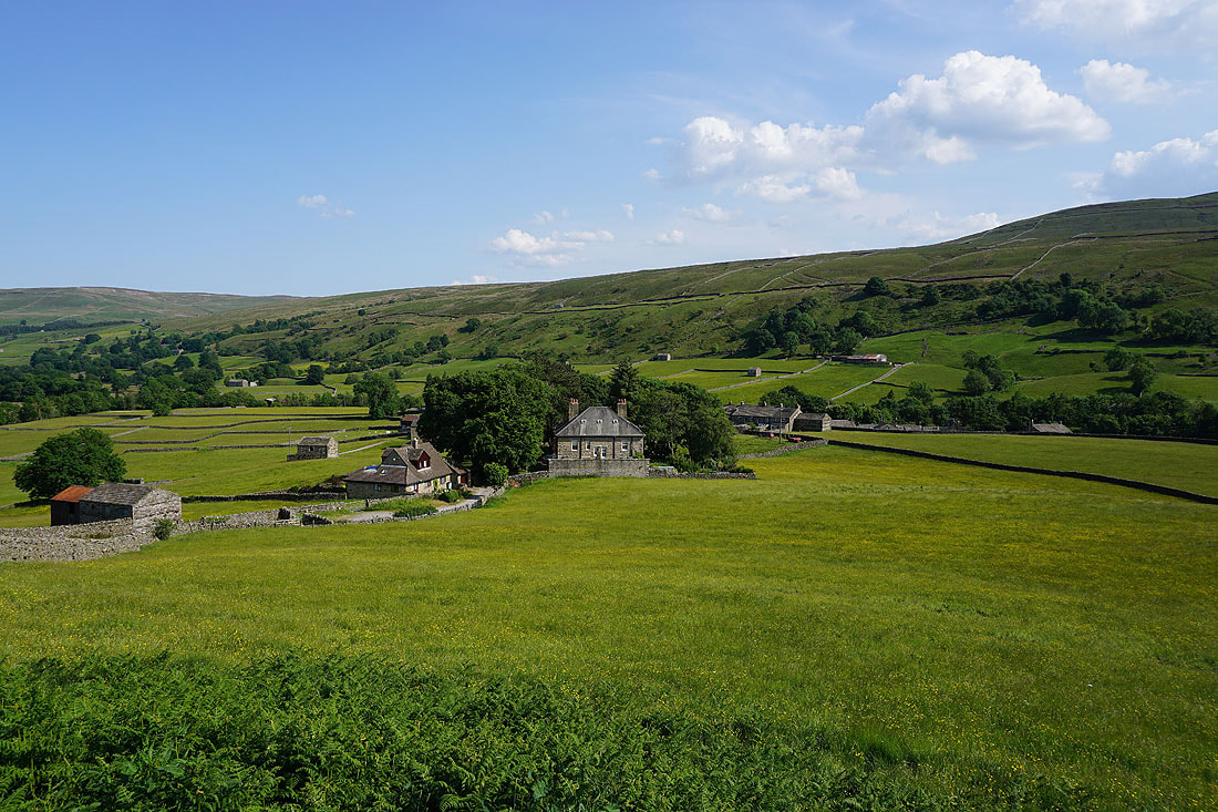
My first photo of the day is from where I've parked on the roadside just outside Muker
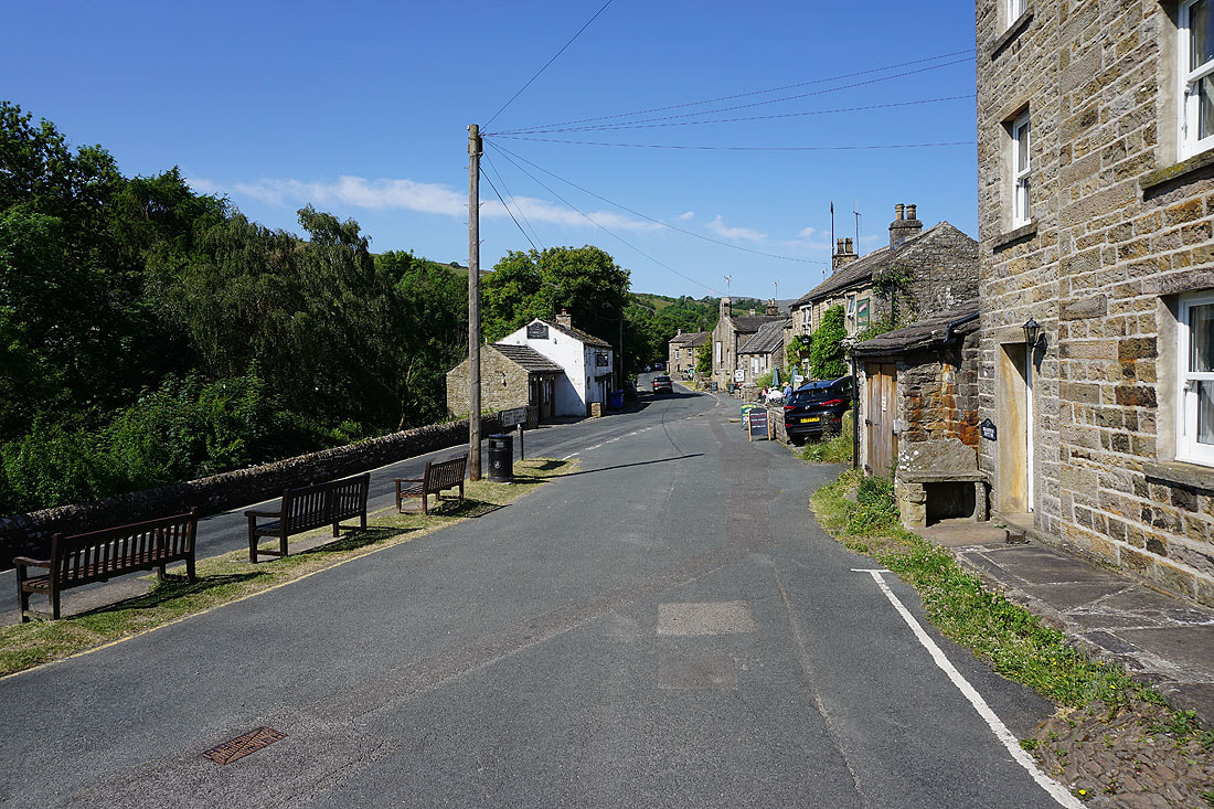
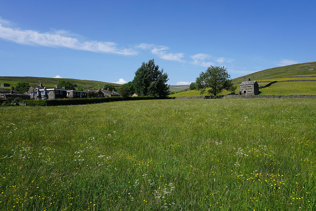
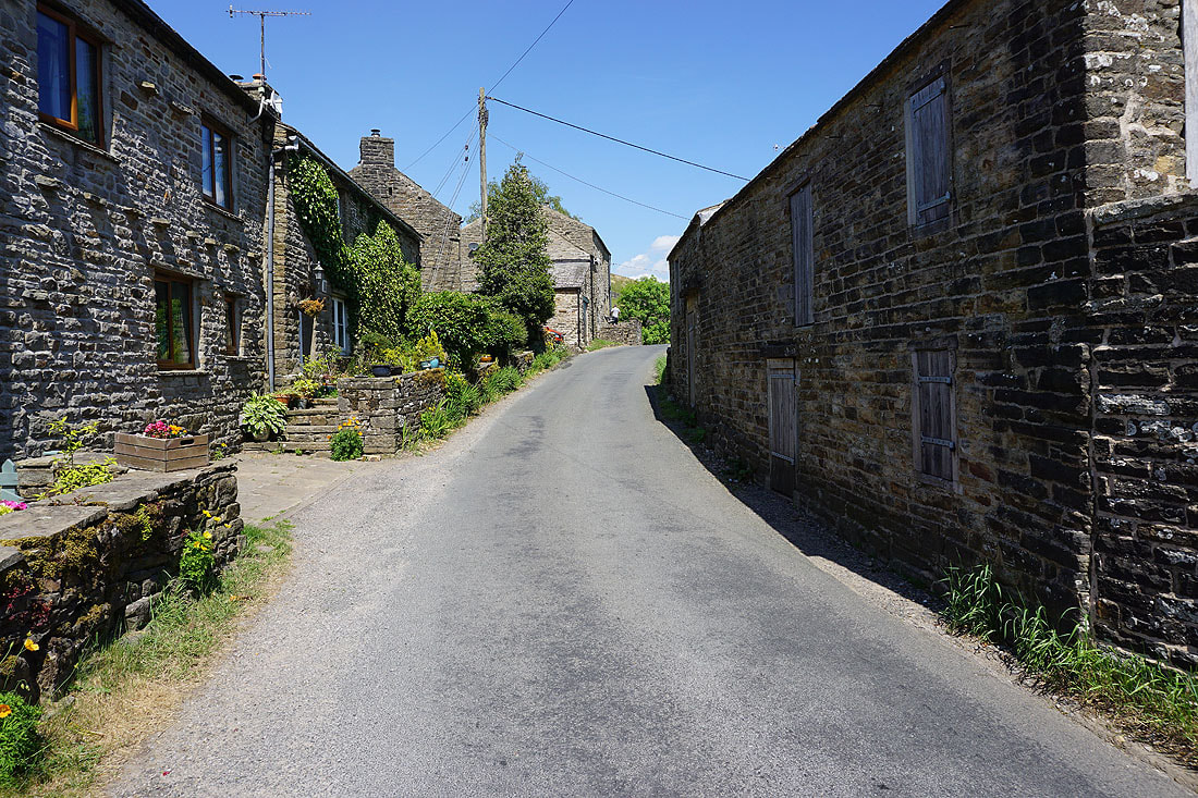
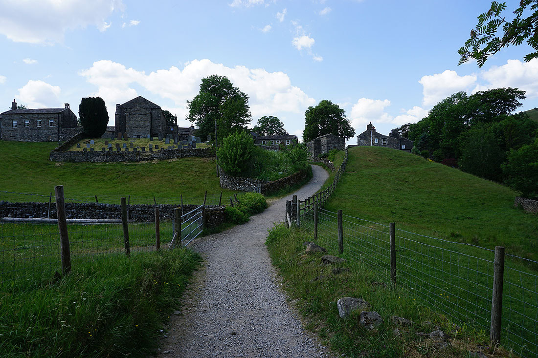
In the village of Muker
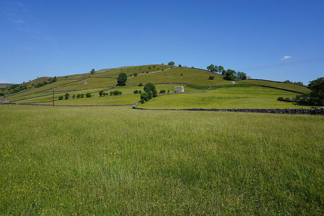
The southern slopes of Kisdon Hill above me
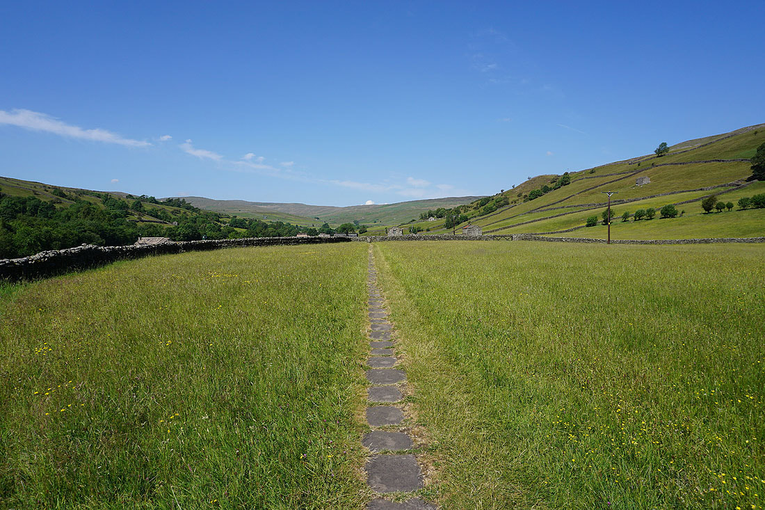
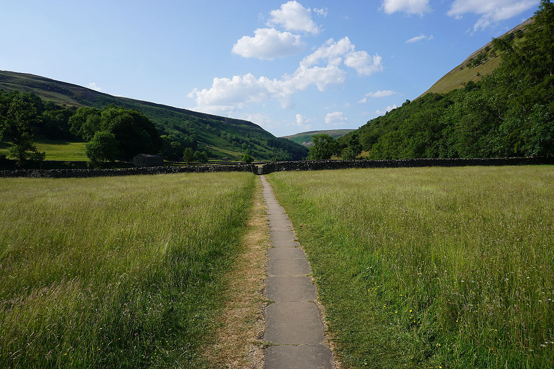
Leaving Muker I take the footpath west to Usha Gap Farm
Great scenery as I make my way through the wildflower filled meadows..

Approaching the campsite at Usha Gap Farm
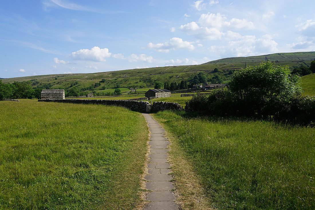
From Usha Gap Bridge I take a footpath through more meadows to the hamlet of Thwaite...
A brief look at the hamlet of Thwaite
Meadow scenery outside Thwaite..
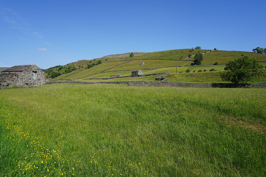
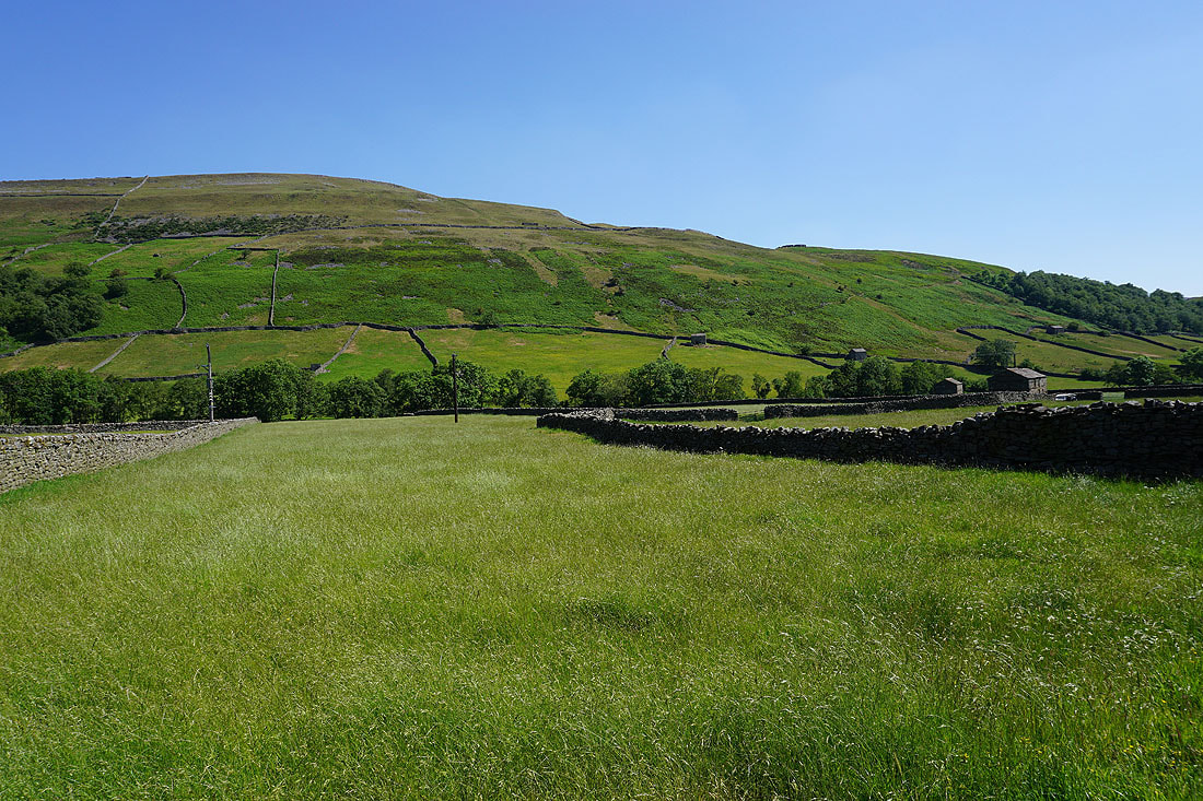
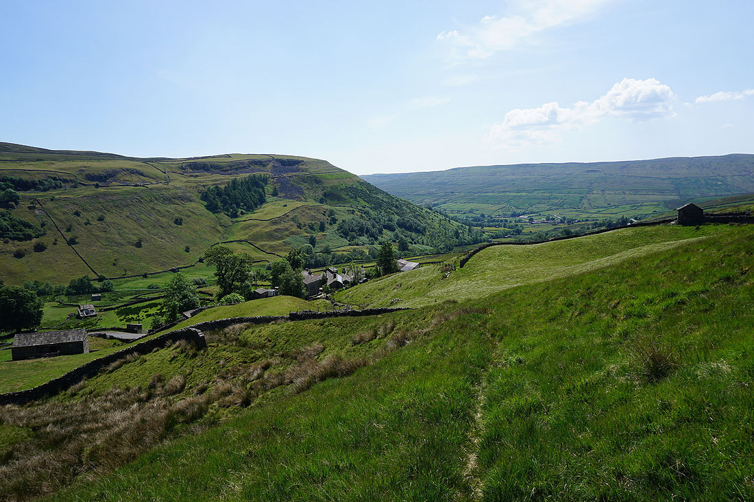
From Thwaite I take the footpath up the valley of Skeb Skeugh to the hamlet of Angram
Looking back to Thwaite
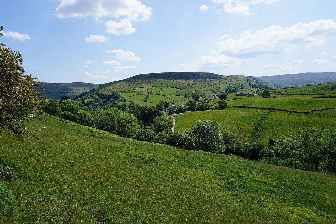
and up the valley towards Keld
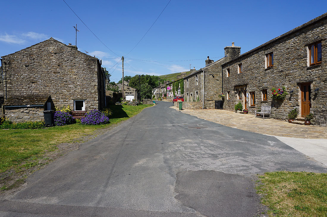
Walking through the hamlet of Angram
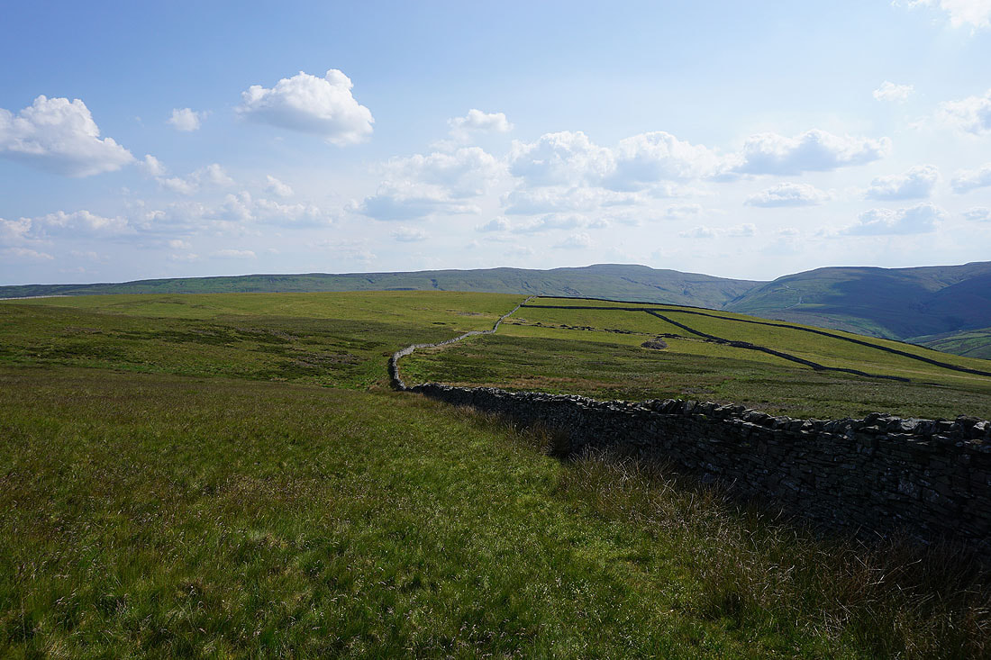
Looking back down to Angram as I take the footpath northwest across the moorland of Keld Side
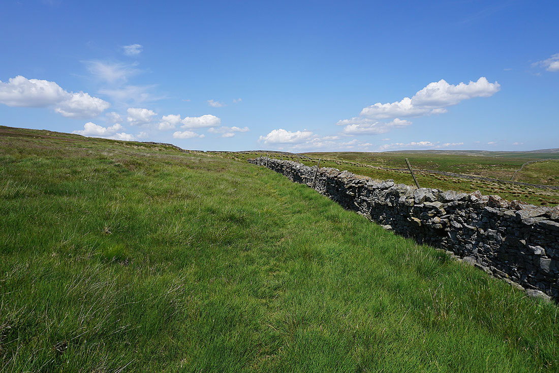
The footpath crosses rough moorland. It's firm underfoot, which I'm guessing isn't usually the case.
The hamlet of Keld in the distance to my right
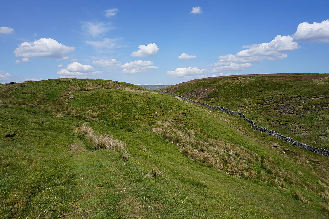
Through the gap between Clumpstone Hill and Black Hill

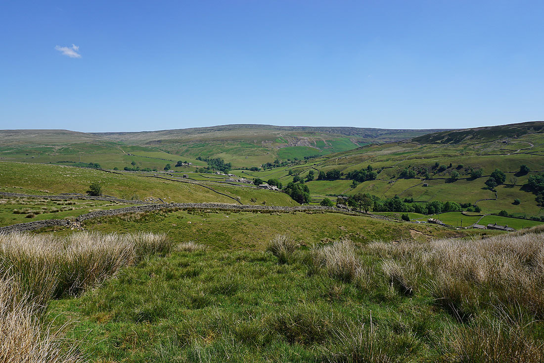
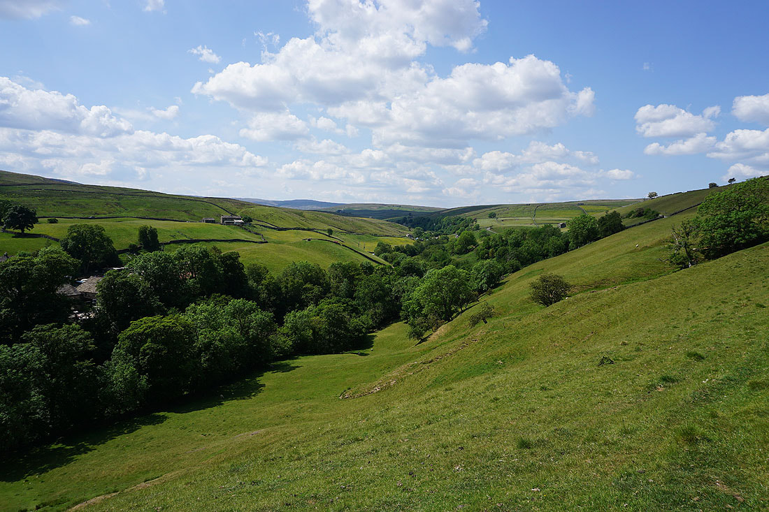
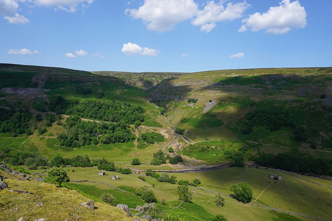
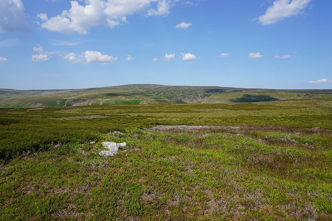
Views of the moorland around upper Swaledale and Whitsun Dale as I follow the footpath across the moor and down to High Bridge...
|
|
The River Swale from High Bridge..
Swaledale scenery as I walk down the road from High Bridge to Low Bridge.....
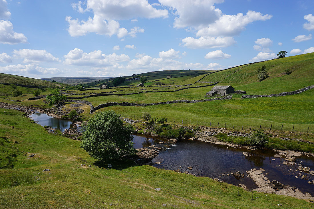

The River Swale from Low Bridge
Looking back from the track up from Low Bridge
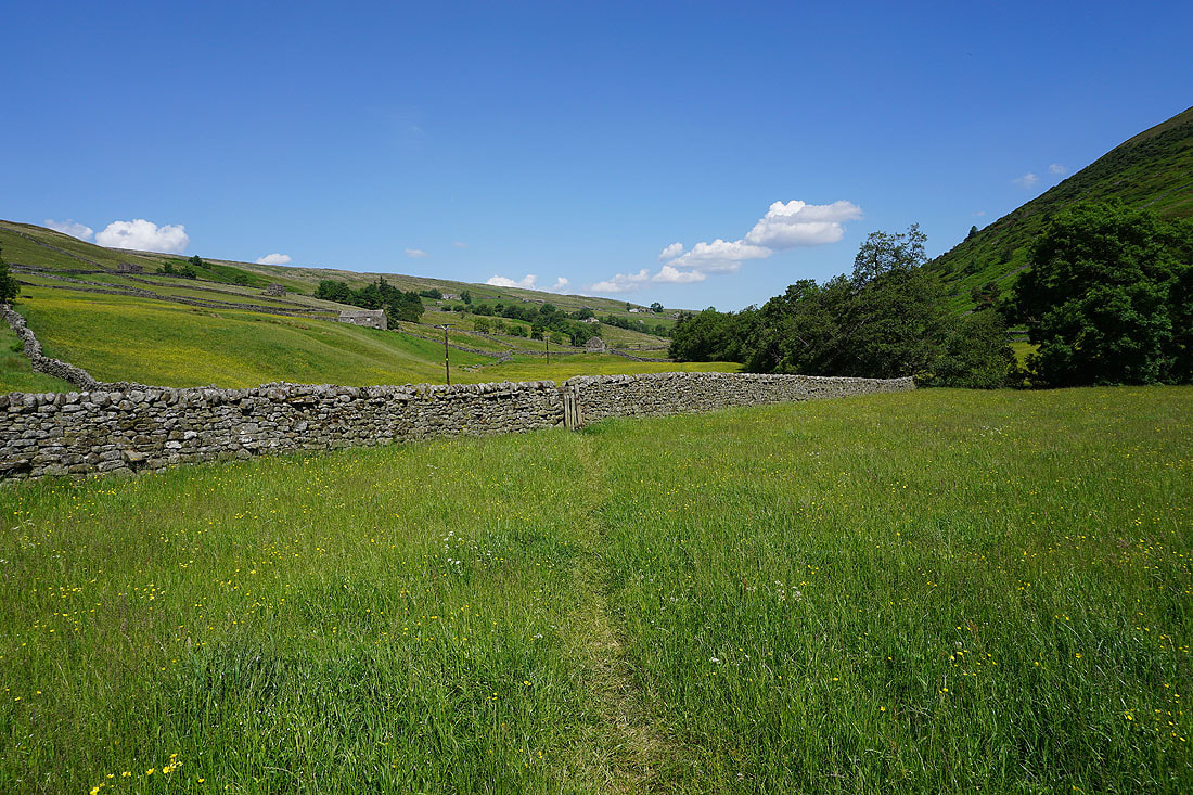
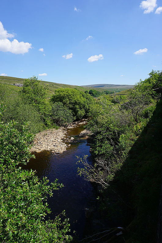
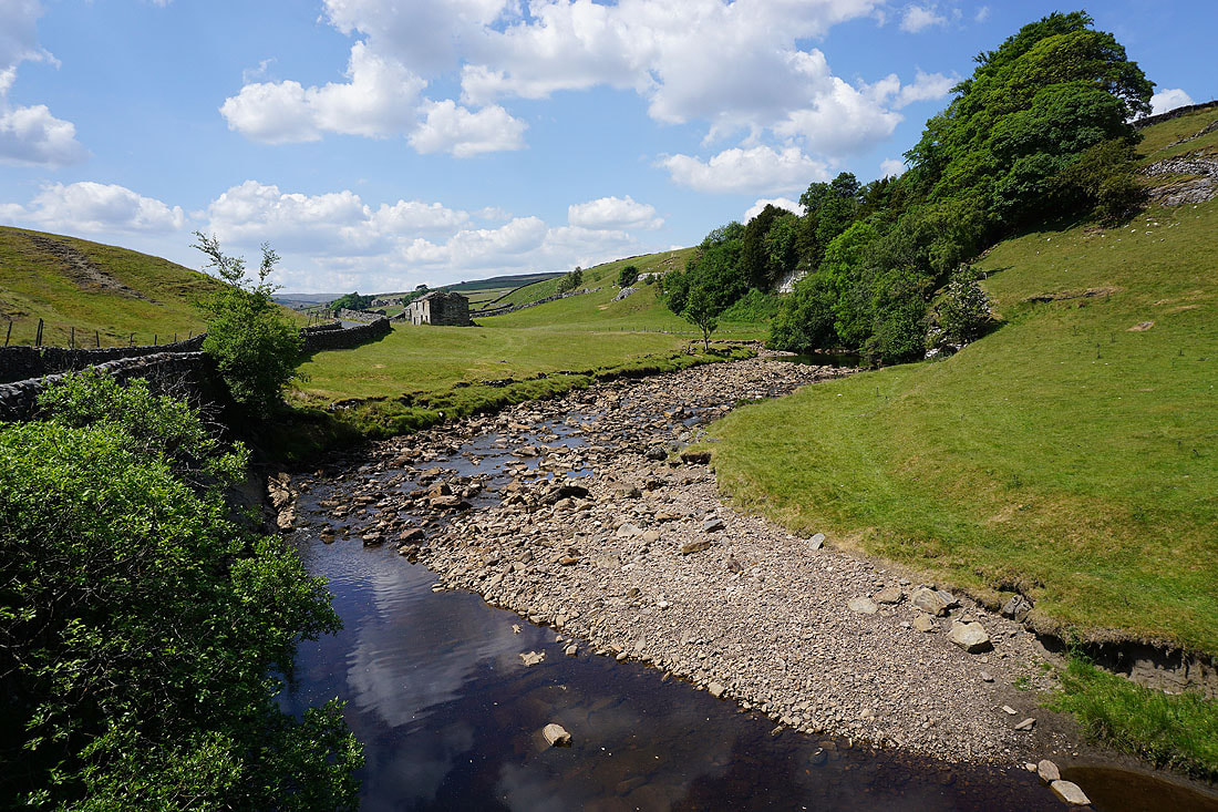
The River Swale below as I take the footpath east to Stonesdale Lane..

It's a beautiful summer's afternoon
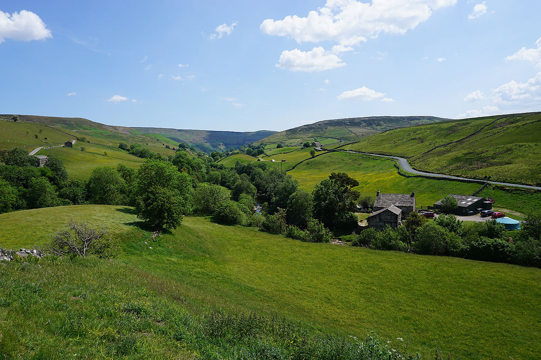
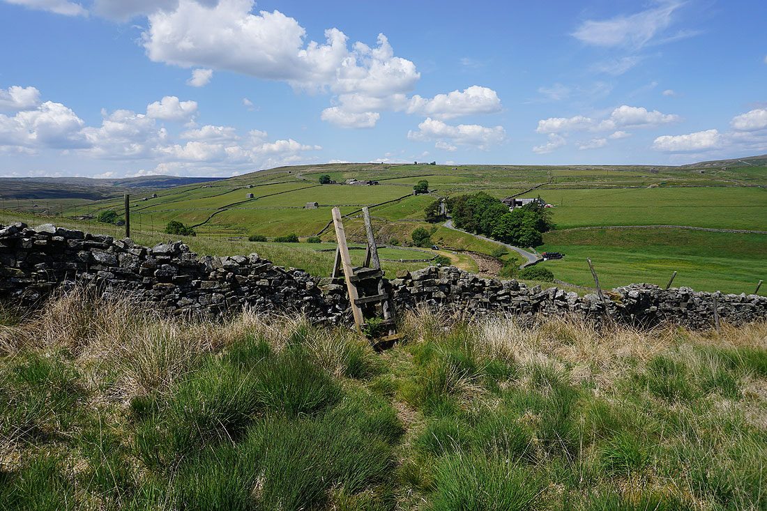
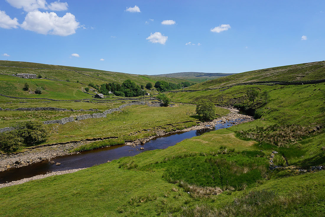
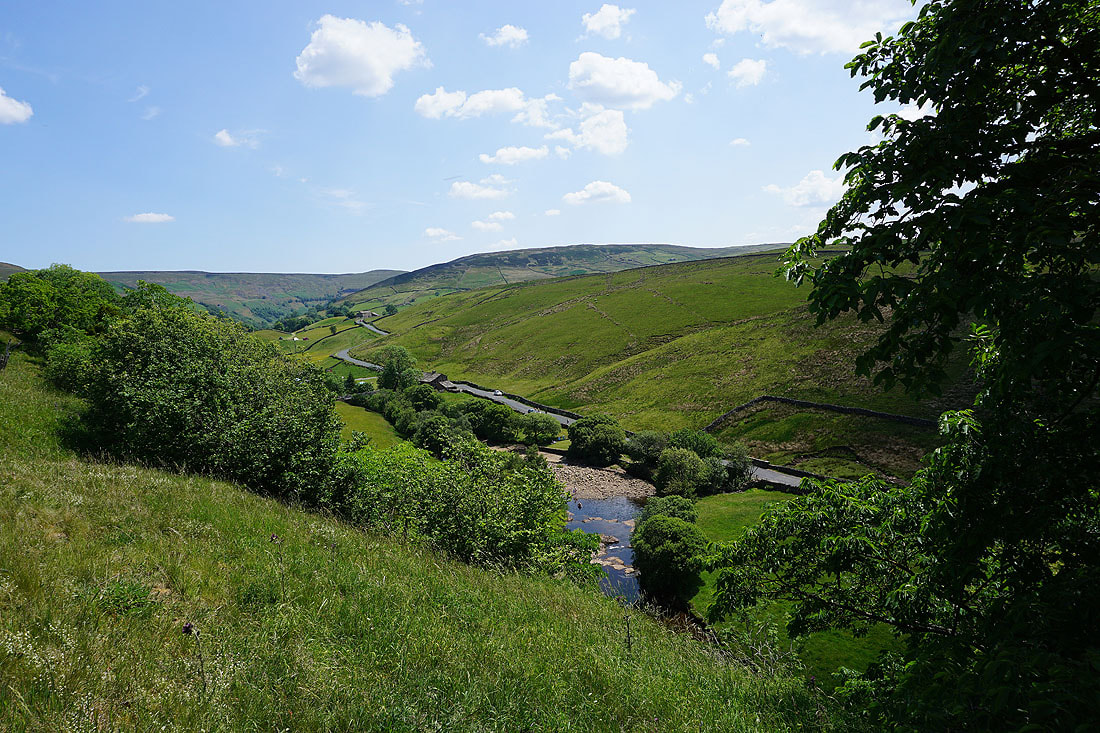
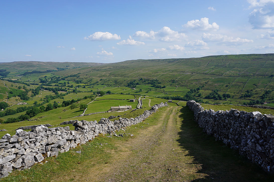
Looking down Swaledale from Stonesdale Lane, with the Park House campsite below
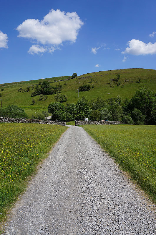
On the track to East Stonesdale
|
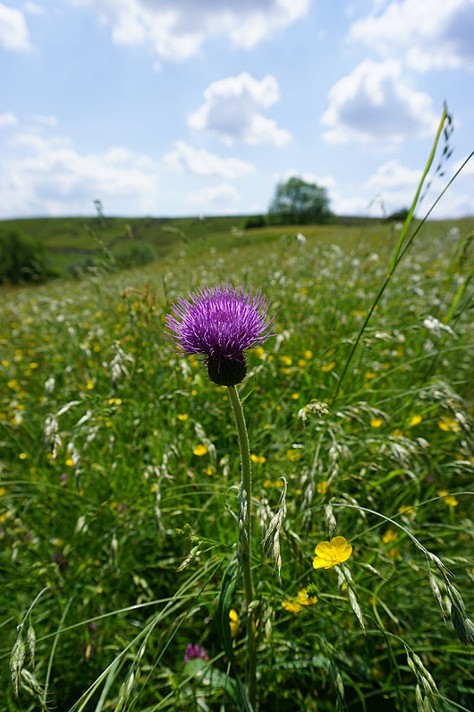
A Melancholy Thistle
|
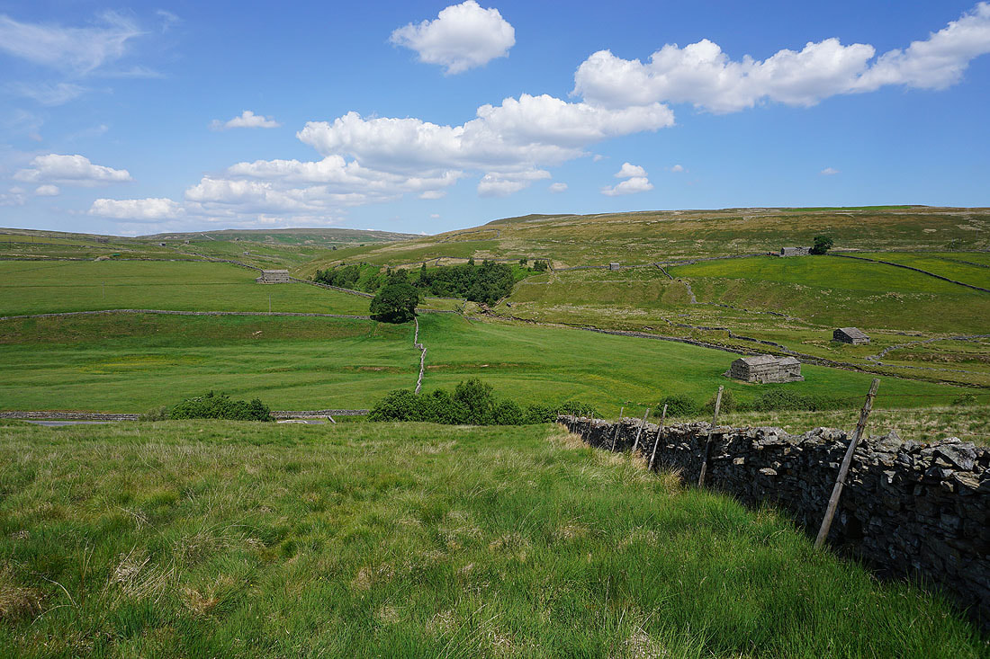
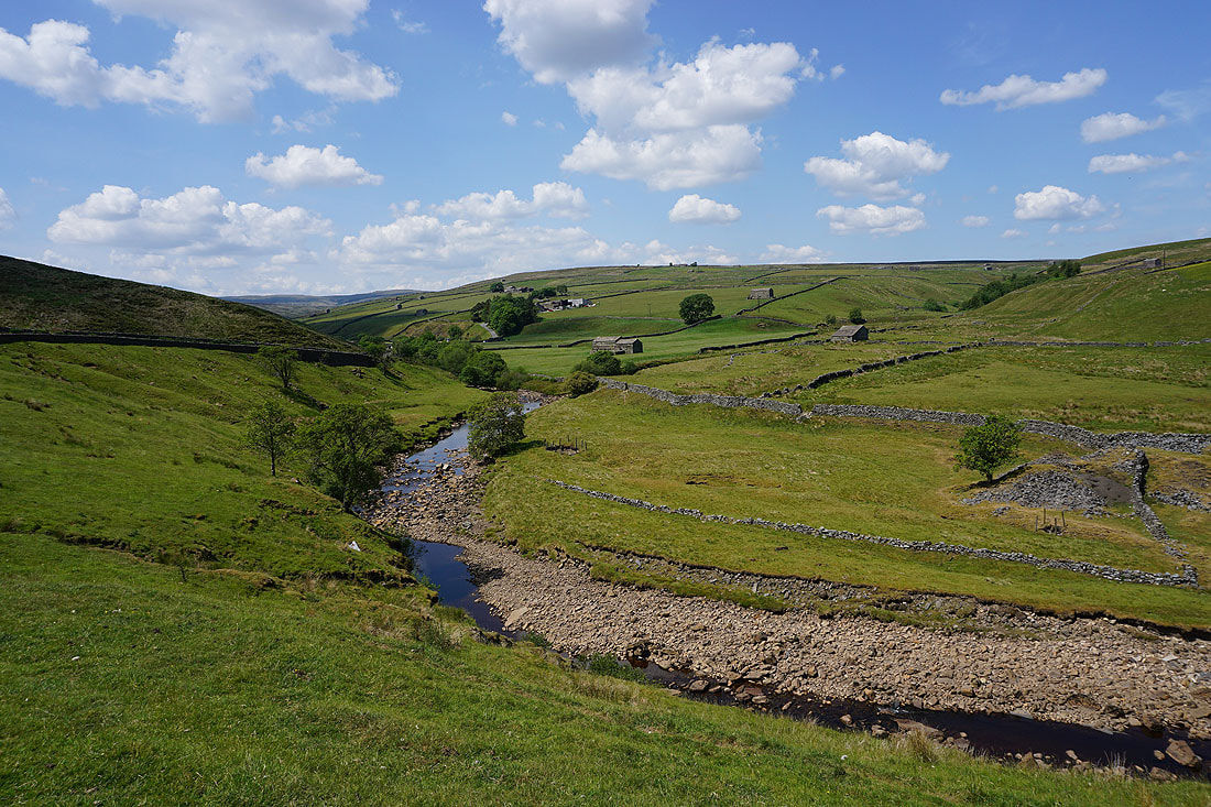
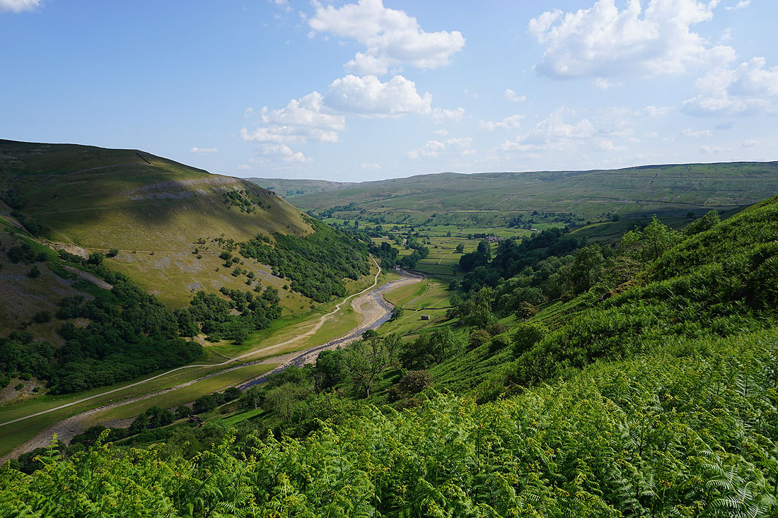
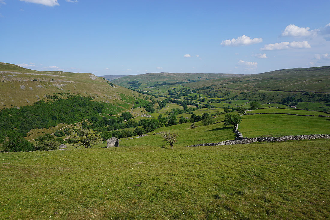
Kisdon Hill and Keld
Looking back up Swaledale
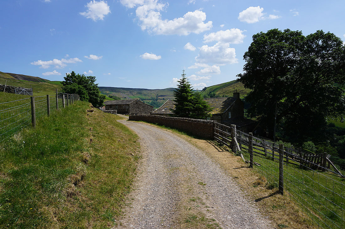
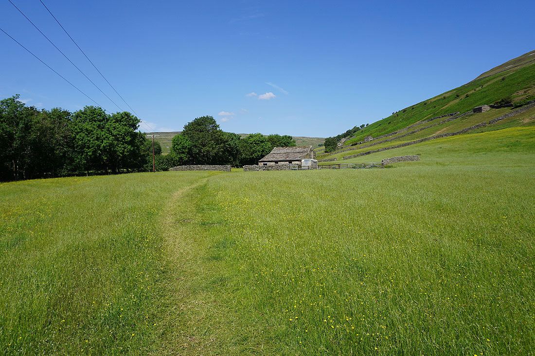
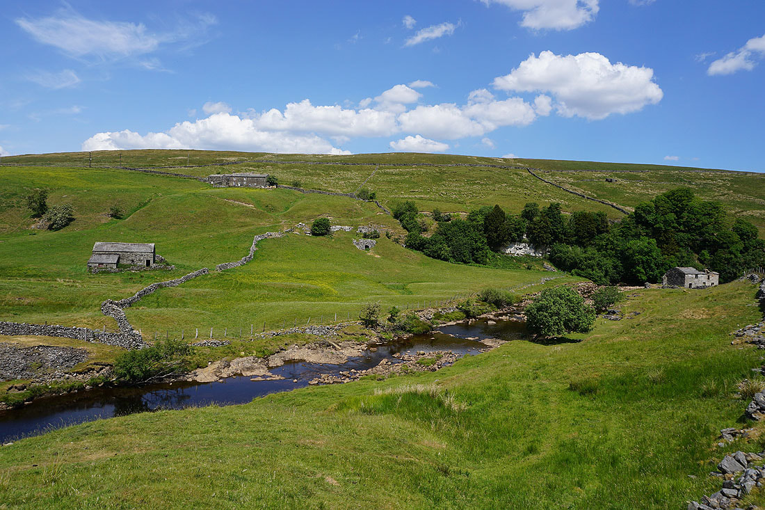
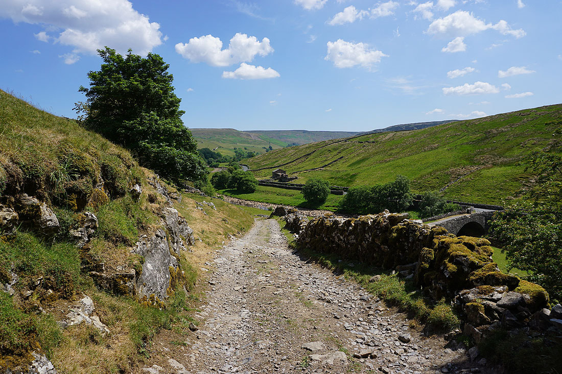
Following the track down into East Stonesdale
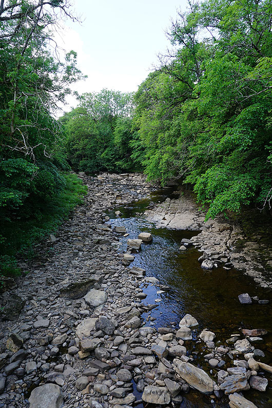
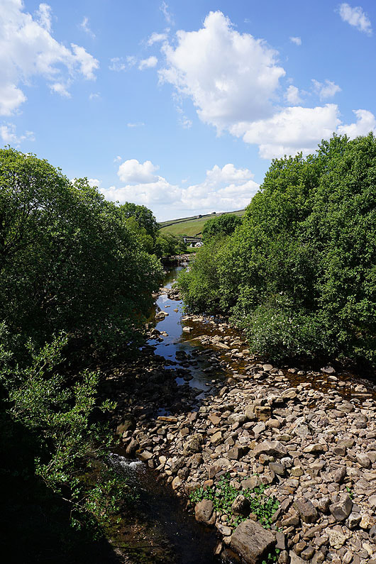
Crossing the River Swale
Making my way up into Keld. I'm going to seek refreshments at Park Lodge.
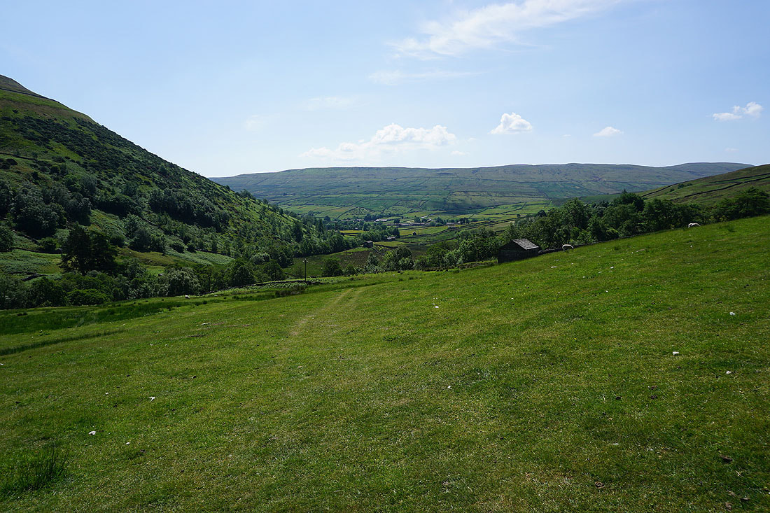
Break had, I leave Keld and take the Pennine Way south onto the side of Kisdon Hill

Looking back along the Pennine Way towards Keld
Swinner Gill on the other side of Swaledale
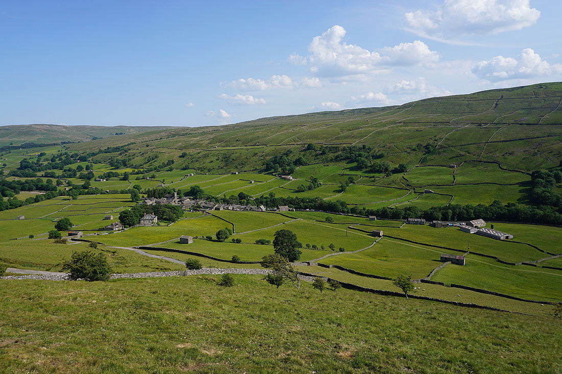
and looking down Swaledale towards Thwaite
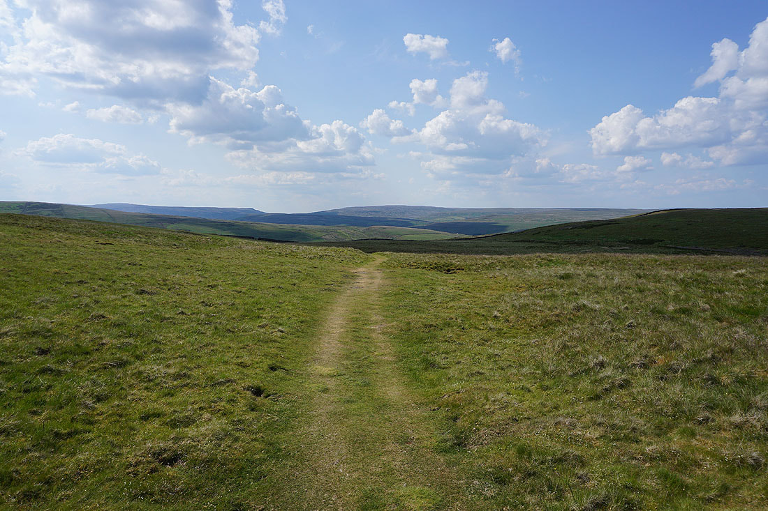
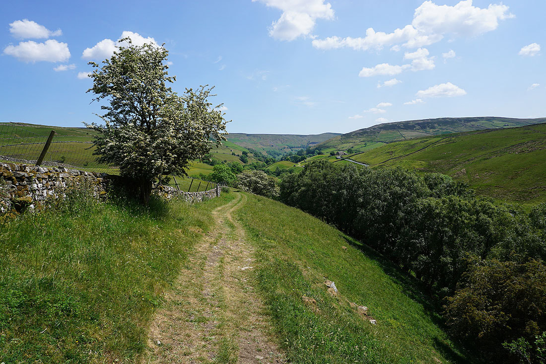
Leaving the Pennine Way I make a pathless ascent to pick up the bridleway across Kisdon Hill from Muker to Angram Lane
High Seat and Nine Standards Rigg in the distance as I head for the top of Kisdon Hill
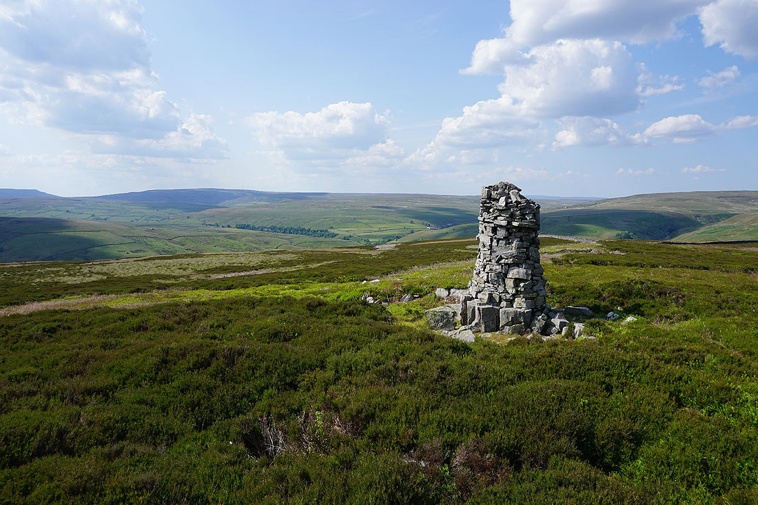
At the well built cairn on the top of Kisdon Hill. Looking northwest to Nine Standards Rigg, and the moorland around Birk Dale and Whitsun Dale.
and northeast to Rogan's Seat
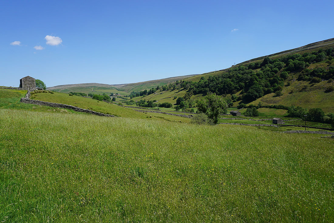
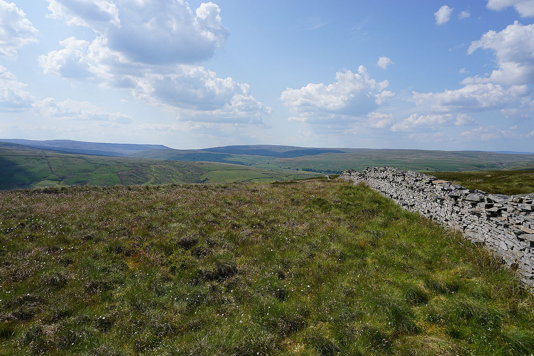
Muker Common and Lovely Seat to the south as I retrace my steps to the bridleway across Kisdon Hill
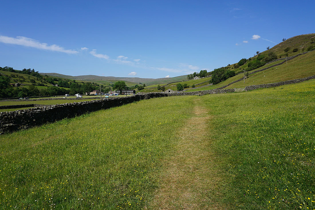
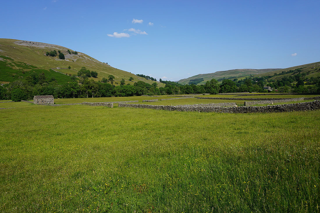
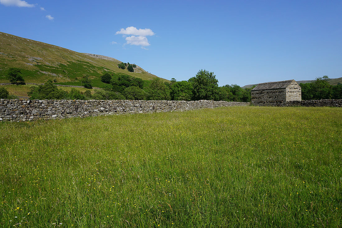
Great views of Swaledale as I follow the bridleway down to Muker....

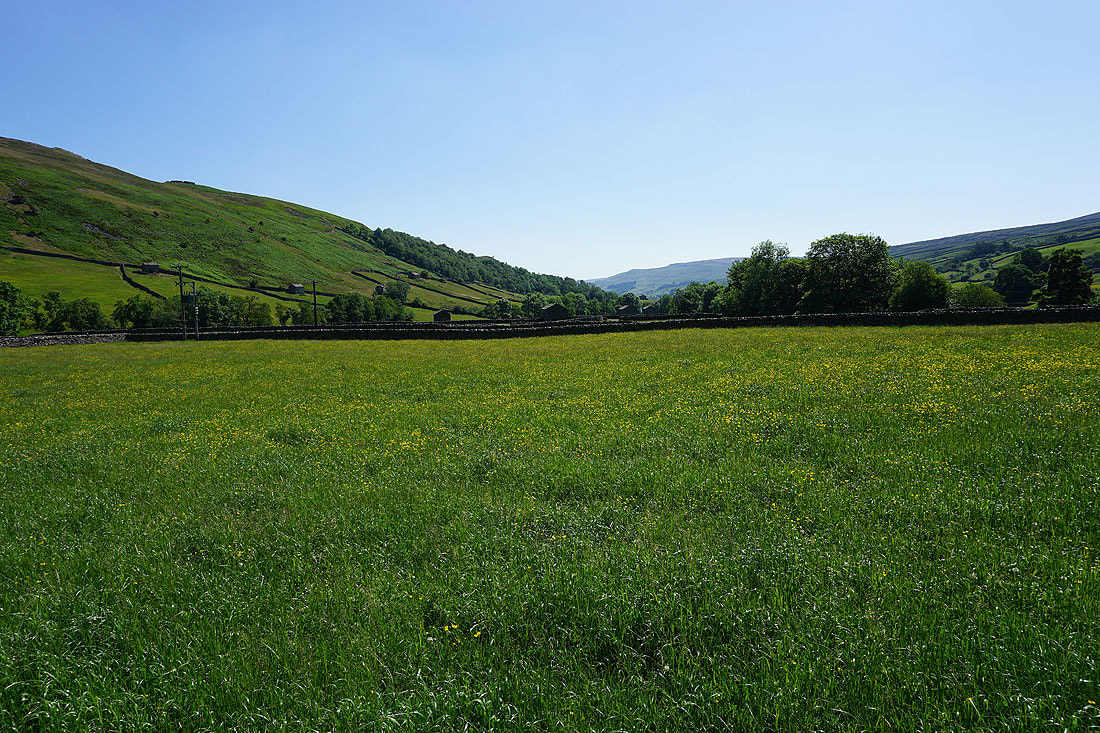
Before returning to Muker I take a walk along the footpath through the meadows to north of the village.....
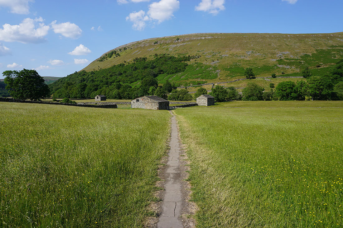
Making my walk back to Muker
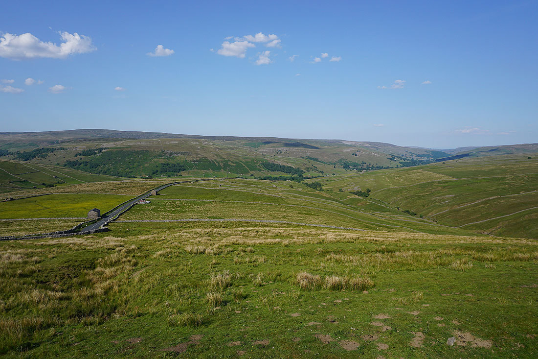
Driving up Cliff Gate Road on the way home I stop to take in the view of Swaledale