17th March 2019 - Wolf Stones
Walk Details
Distance walked: 9.4 miles
Total ascent: 1597 ft
OS map used: OL21 - South Pennines
Time taken: 6.5 hrs
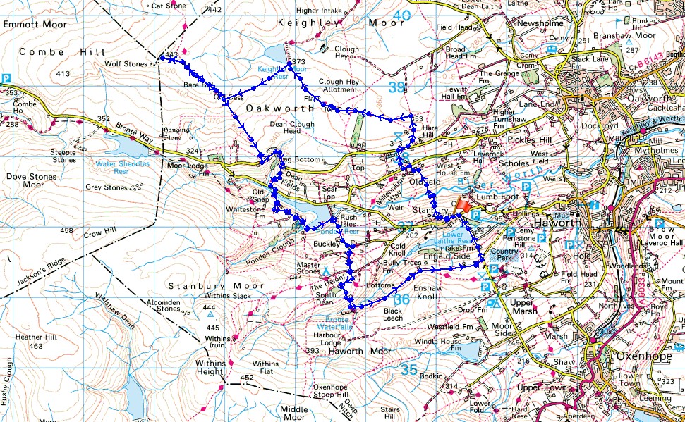
Route description: Stanbury-Oldfield-Harehills Lane-Millennium Way-Keighley Moor Reservoir-Pennine Way-Wolf Stones-Pennine Way-Cragg Bottom Road-Dean Edge Road-Pennine Way-Ponden Reservoir-Pennine Way-The Height-Bronte Bridge-Bronte Way-Moor Side Lane-Hob Lane-Stanbury
After yesterday's terrible weather of persistent heavy rain for the whole day, something a bit better today with a mix of sunny spells and the odd wintry shower thrown in. It was windy though, so that put restrictions on where I would consider going to. In the end I opted for a route from Stanbury in the Worth Valley, in Bronte Country. This was a shorter version of a walk that I've done before, in 2016, when I took in the trig points on Wolf Stones and Stanbury Moor on opposite sides of the Worth Valley, this time it was just Wolf Stones. It was a thoroughly enjoyable day for being on the moors, plenty of spring sunshine and great visibility makes a fantastic feeling of spaciousness.
From a layby on Hob Lane just to the east of Stanbury I walked towards the village and took a footpath that goes around it to the north. I left this for a footpath on the right down into the Worth Valley, across the River Worth via a footbridge and then up to Oldfield, where after a short walk west along Oldfield Lane I picked up the trail of the Millennium Way up to Harehills Lane. I crossed the road and followed the trail up past Harehill House and then northwest across Oakworth Moor to Keighley Moor Reservoir. The dam of the reservoir proved to be a good spot for finding shelter out of the wind for having lunch. From the reservoir I then followed a path uphill to the west to join the trail of the Pennine Way as it heads north towards Wolf Stones. The Pennine Way bypasses the trig point, so I left the trail to visit it. On returning to the Pennine Way I followed the trail south down into the Worth Valley to Cragg Bottom Road, along Cragg Bottom Road and Dean Edge Road, and then down by Dean Fields to Hob Lane. I kept on the trail as it made its way around Ponden Reservoir, up to and past Buckley Farm and then up onto The Height. This was where I finally left the Pennine Way for a footpath down to Bronte Bridge where I picked up the trail of the Bronte Way. I followed the Bronte Way east to Moor Side Lane, and then walked north along the road over the dam of Lower Laithe Reservoir and up to Hob Lane, where after turning left I had a short walk back to where I was parked.
Route map
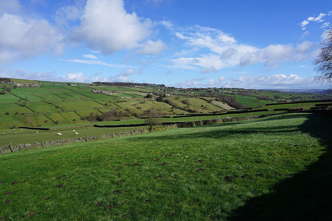
The Worth Valley as I leave Stanbury and head north across it to Oldfield..
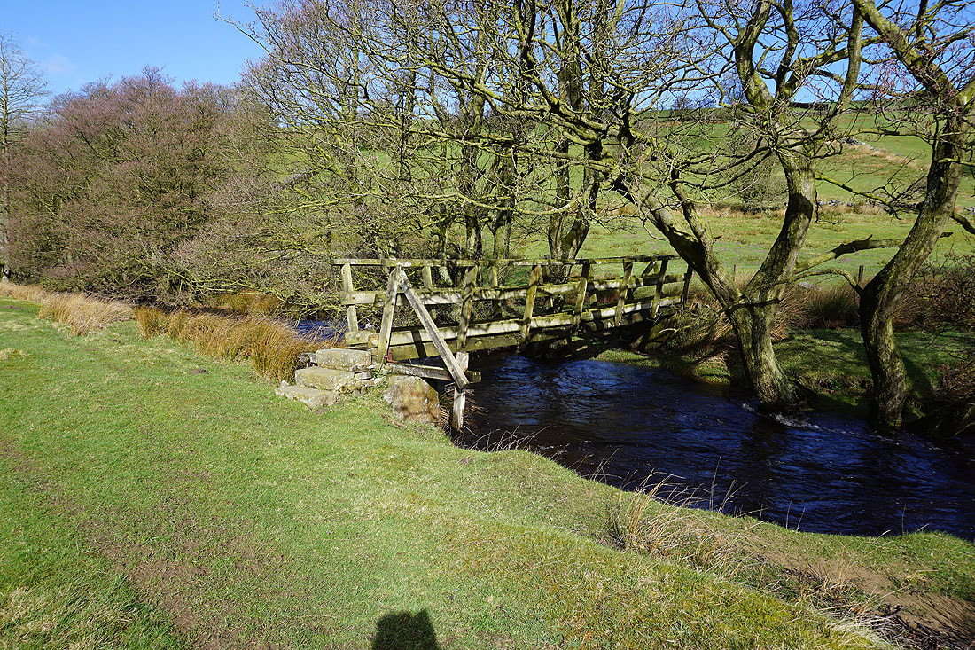
The footbridge over the River Worth
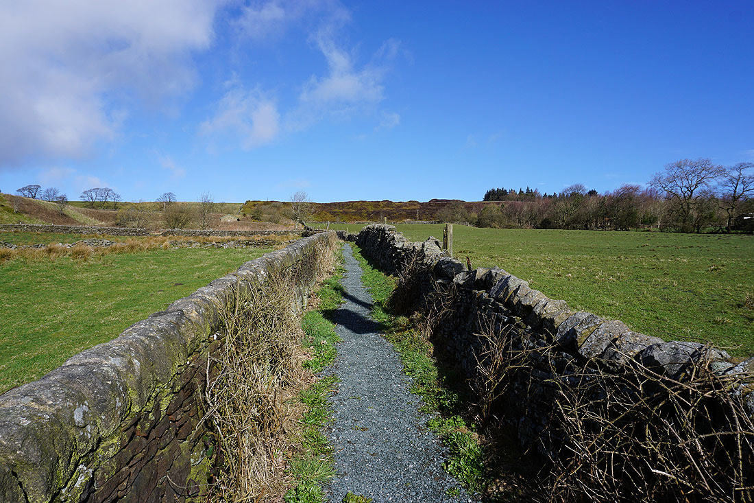
I leave Oldfield for the trail of the Millennium Way up to Hare Hill Edge
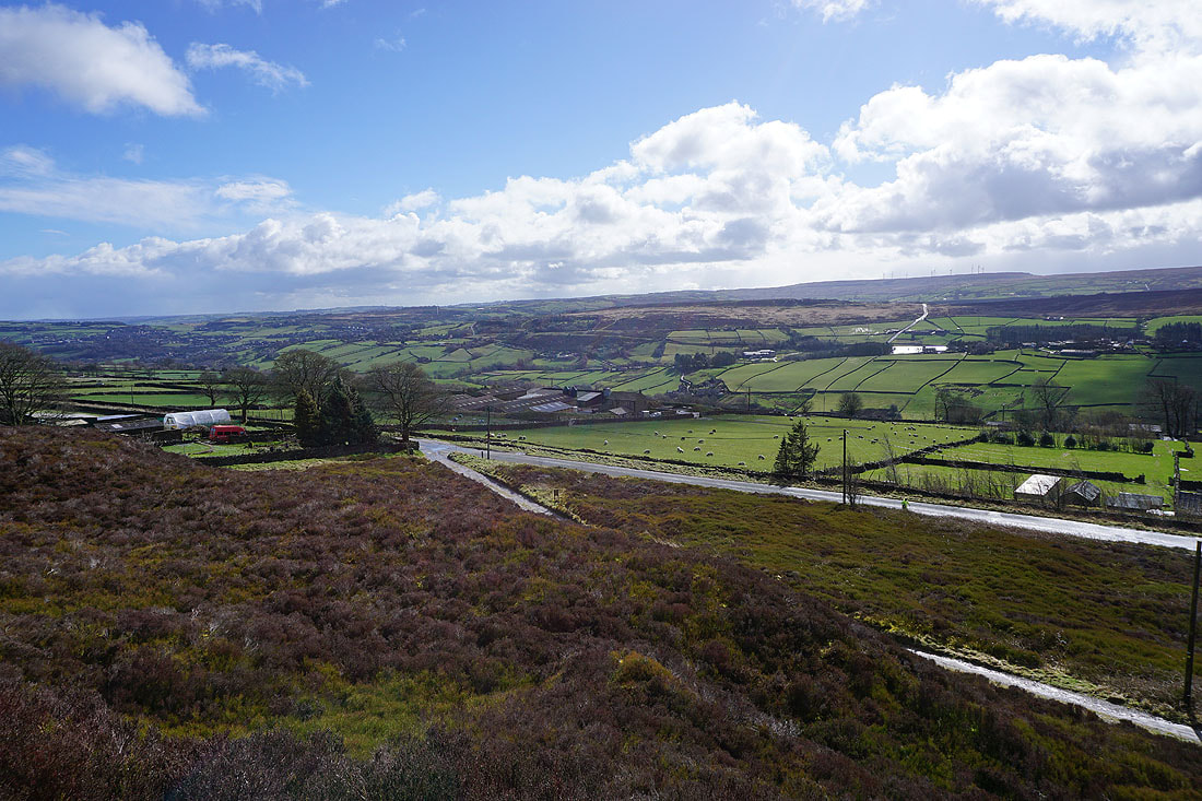
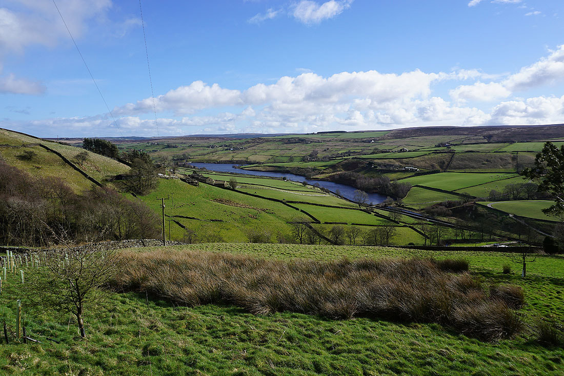
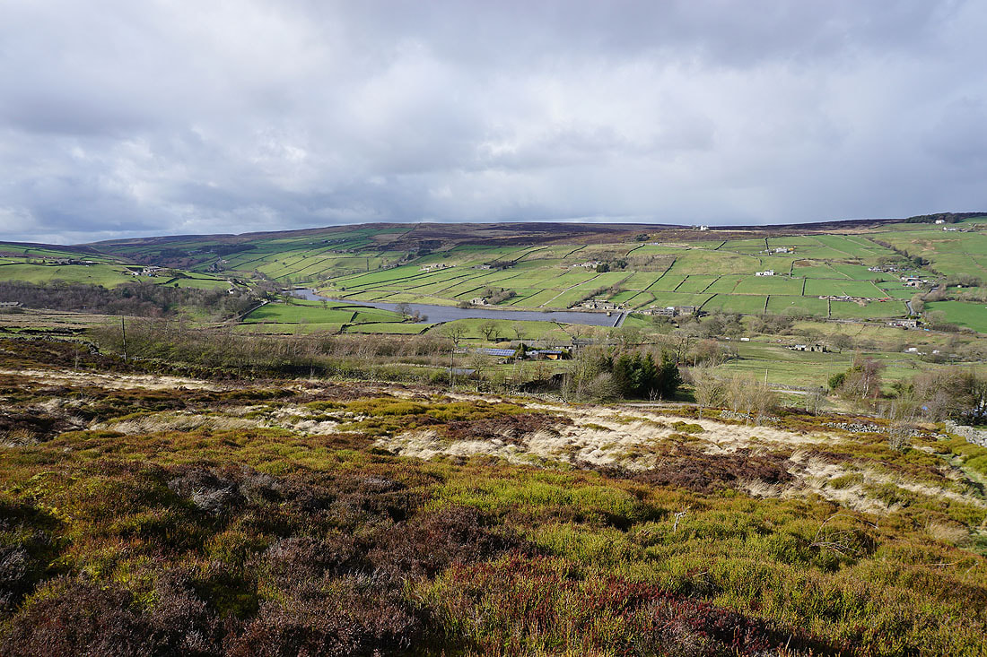
Looking across the Worth Valley to Ponden Reservoir and Stanbury Moor
and across to Penistone Hill from Hare Hill
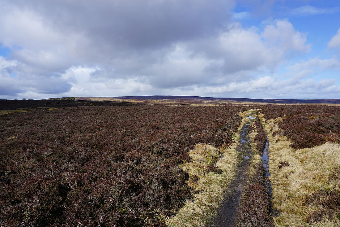
The broad expanse of Oakworth Moor
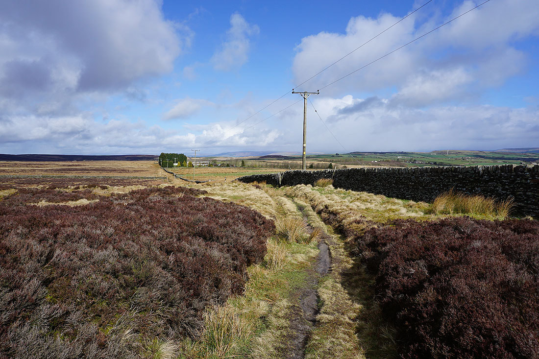
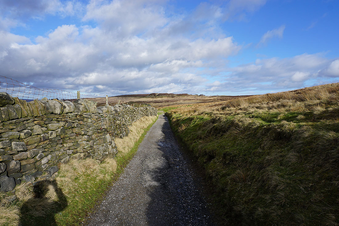
Following the path towards Moorcock Farm
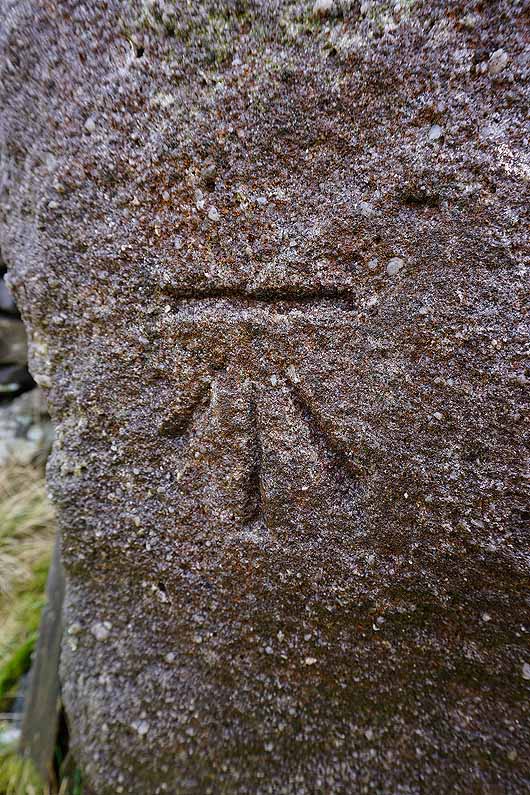
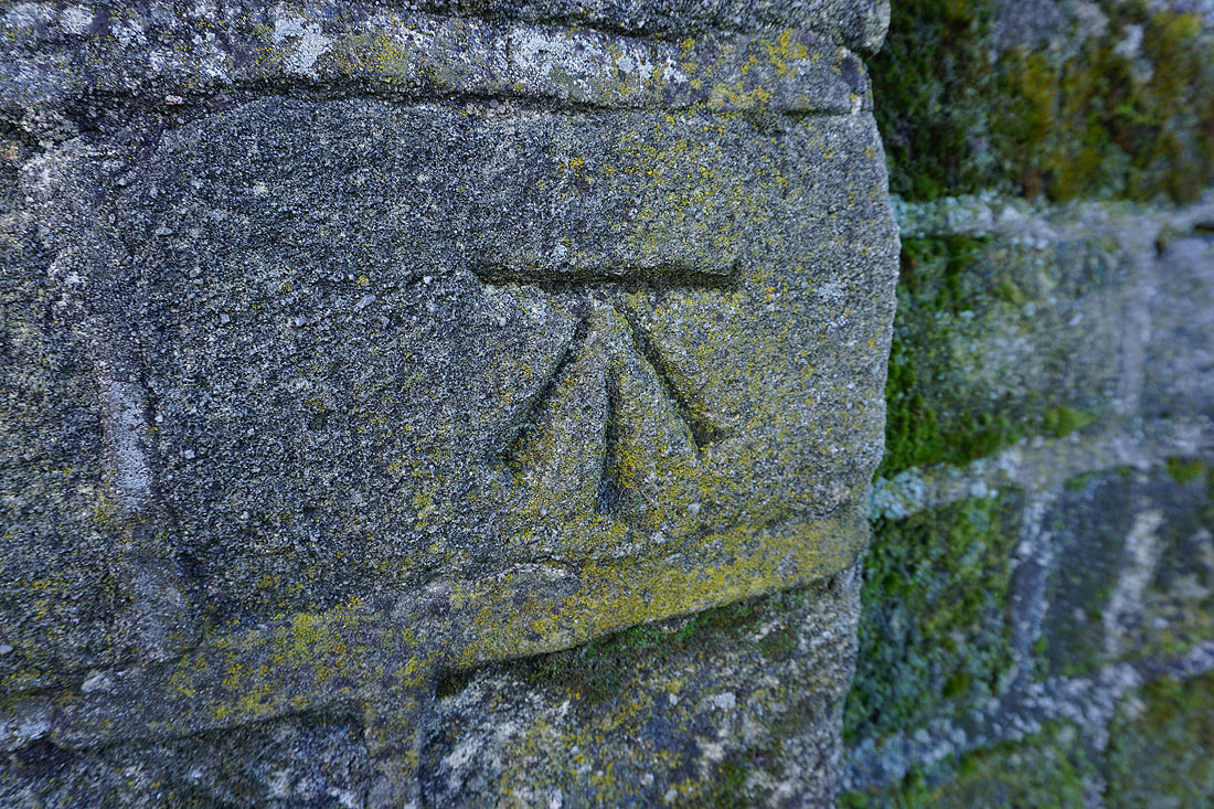
OS benchmark on a gatepost
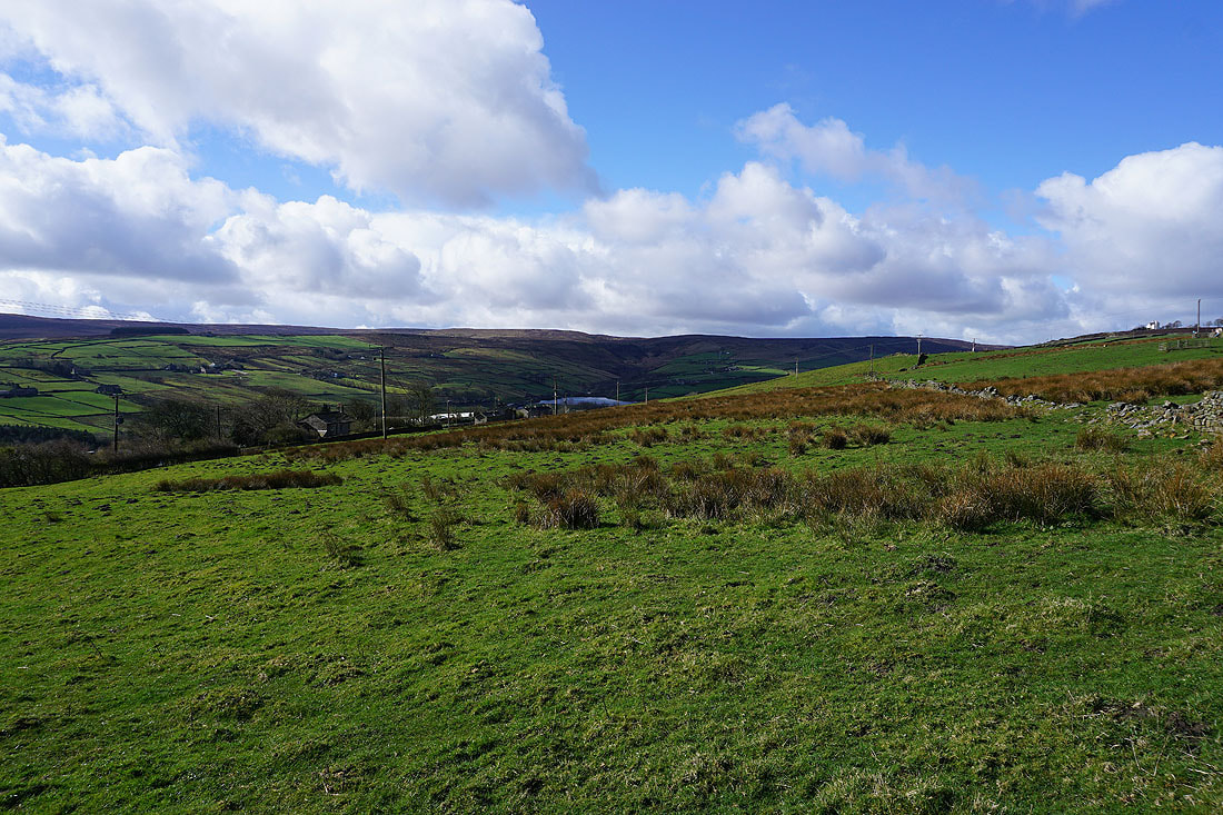
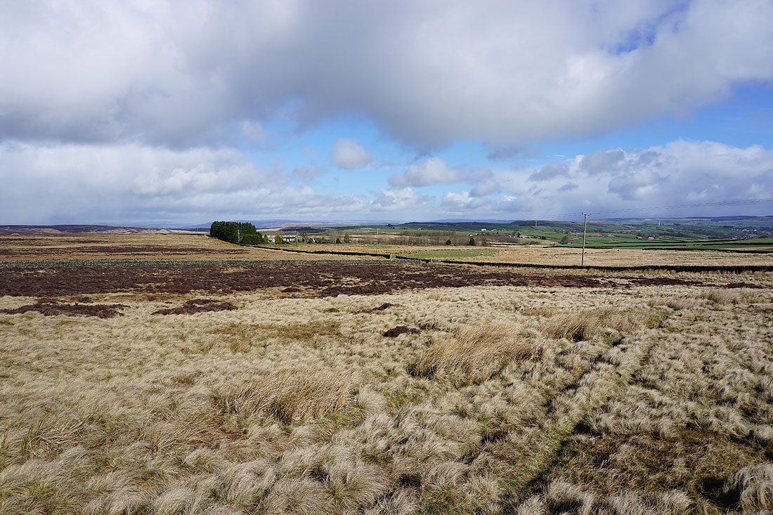
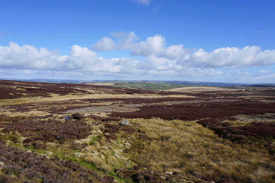
Big skies and views across to the moorland around Airedale
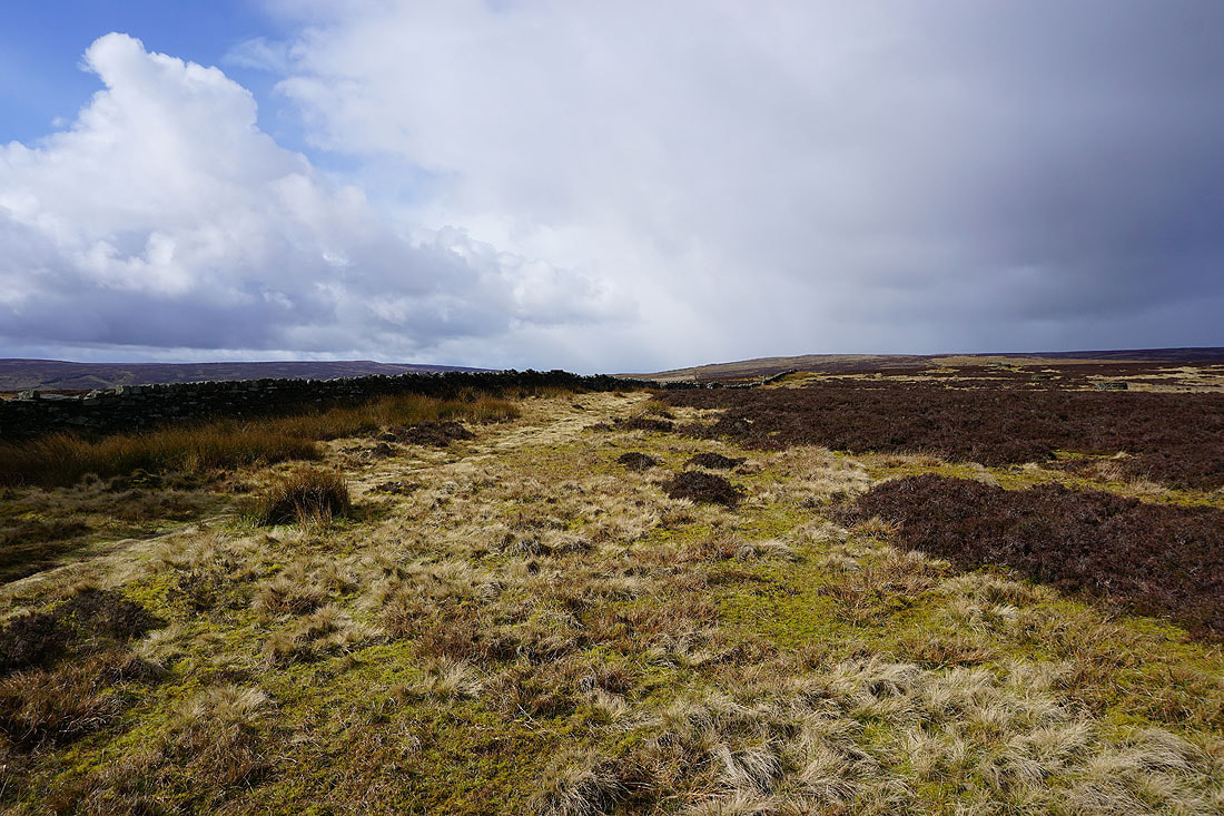
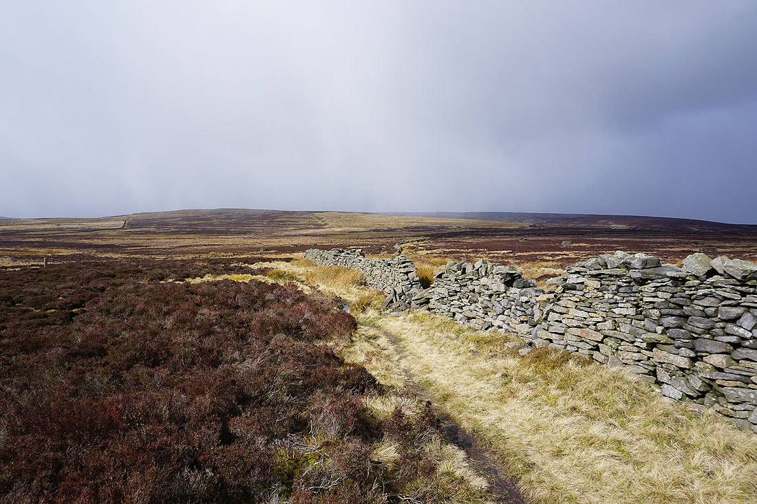
Making my way up onto Oakworth Moor and it looks like there's some weather on the way..
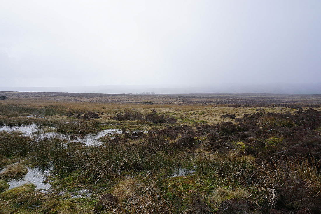
Indeed there is. Ten minutes later a shower of hail and snow passes through.
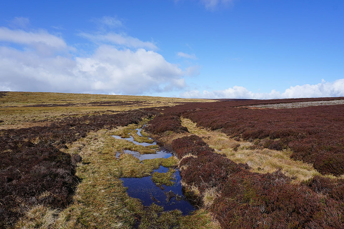
It doesn't last long and blue skies soon return
The moorland around Newsholme Dean and Airedale from next to Keighley Moor Reservoir
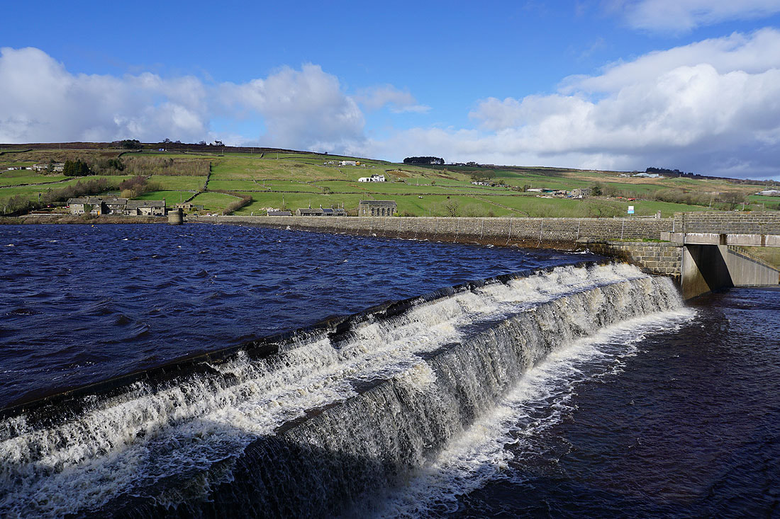
Another OS benchmark, this time on the stonework of the reservoir dam
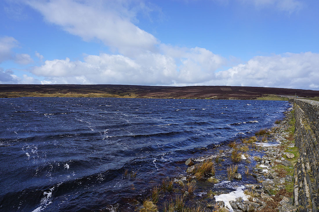
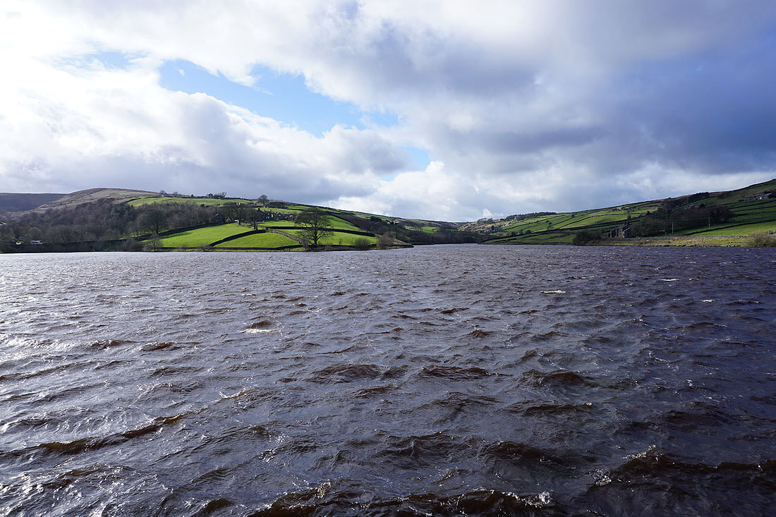
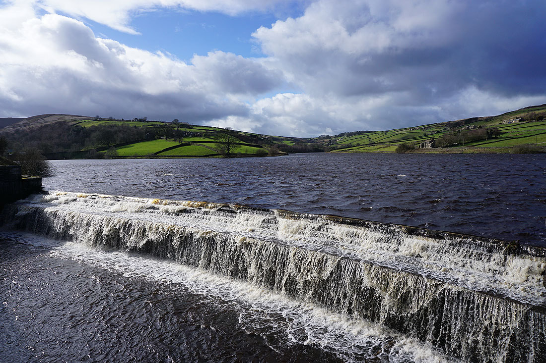
A windswept Keighley Moor Reservoir
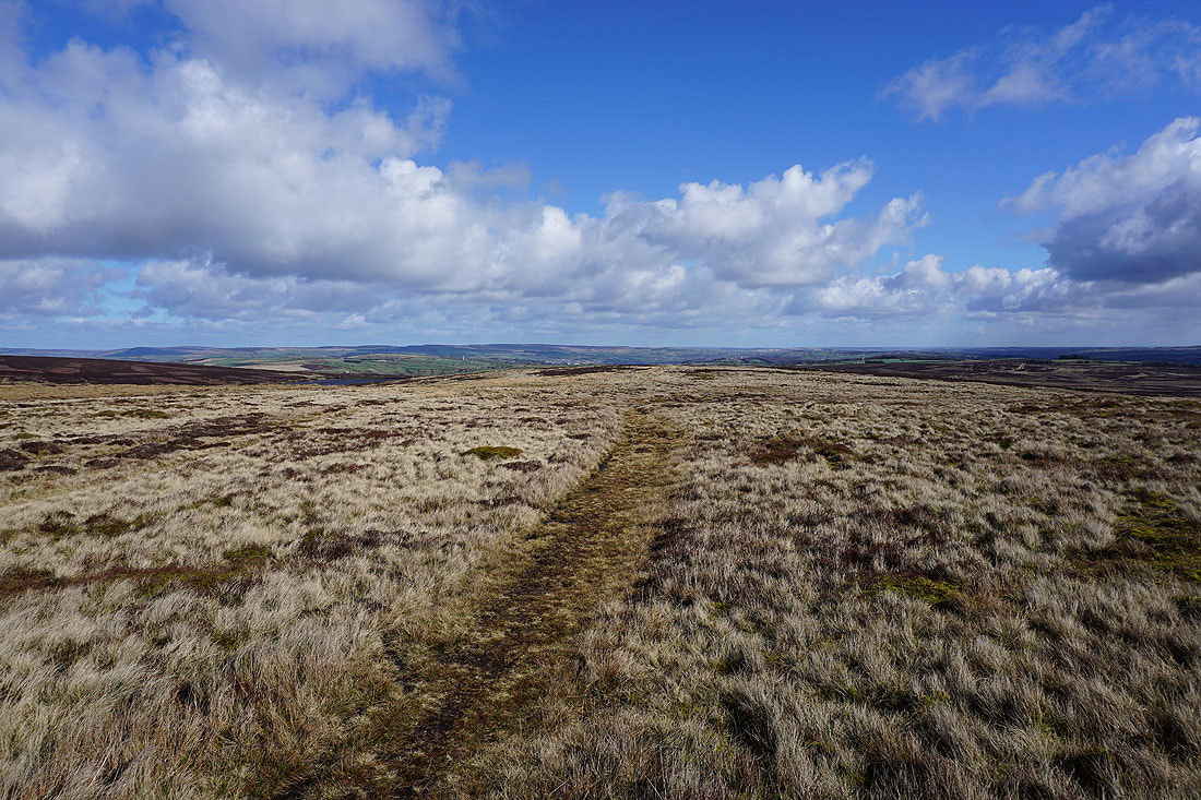
Looking back as I head for Wolf Stones and there are big views all the way to the moorland around Keighley and Airedale
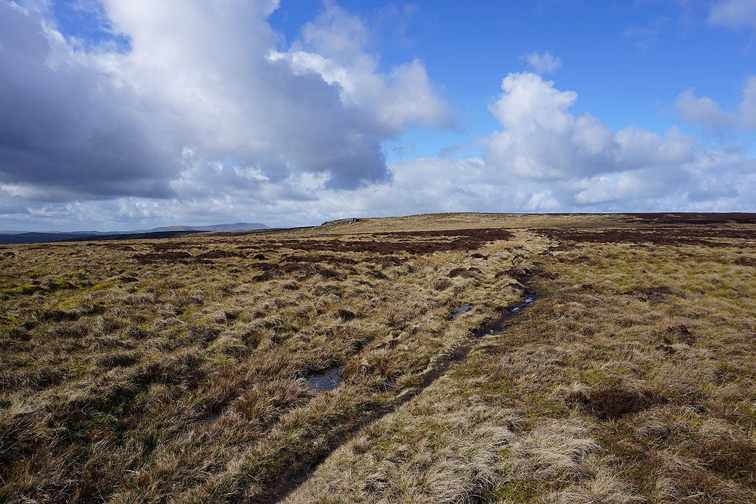
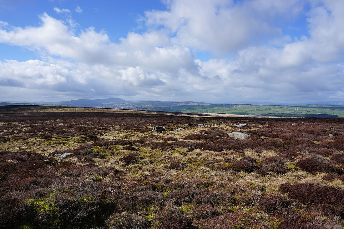
Pendle Hill appears as I approach Wolf Stones
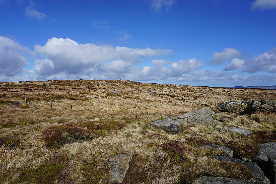
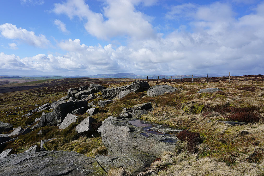
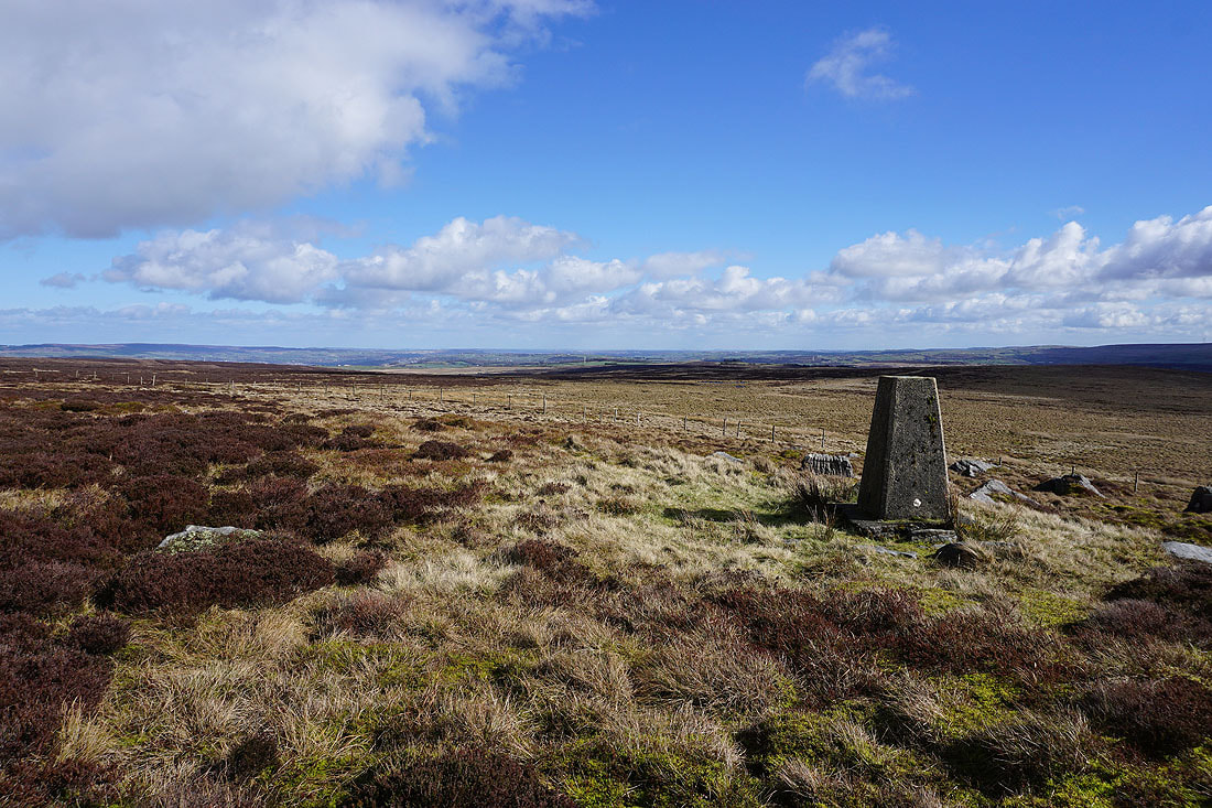
The trig point above from the gritstone boulders of Wolf Stones
Pendle Hill from Wolf Stones
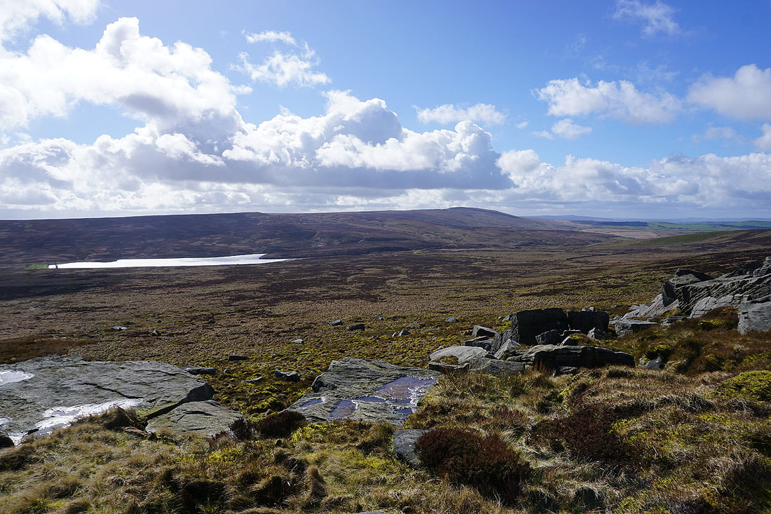
Watersheddles Reservoir and Boulsworth Hill
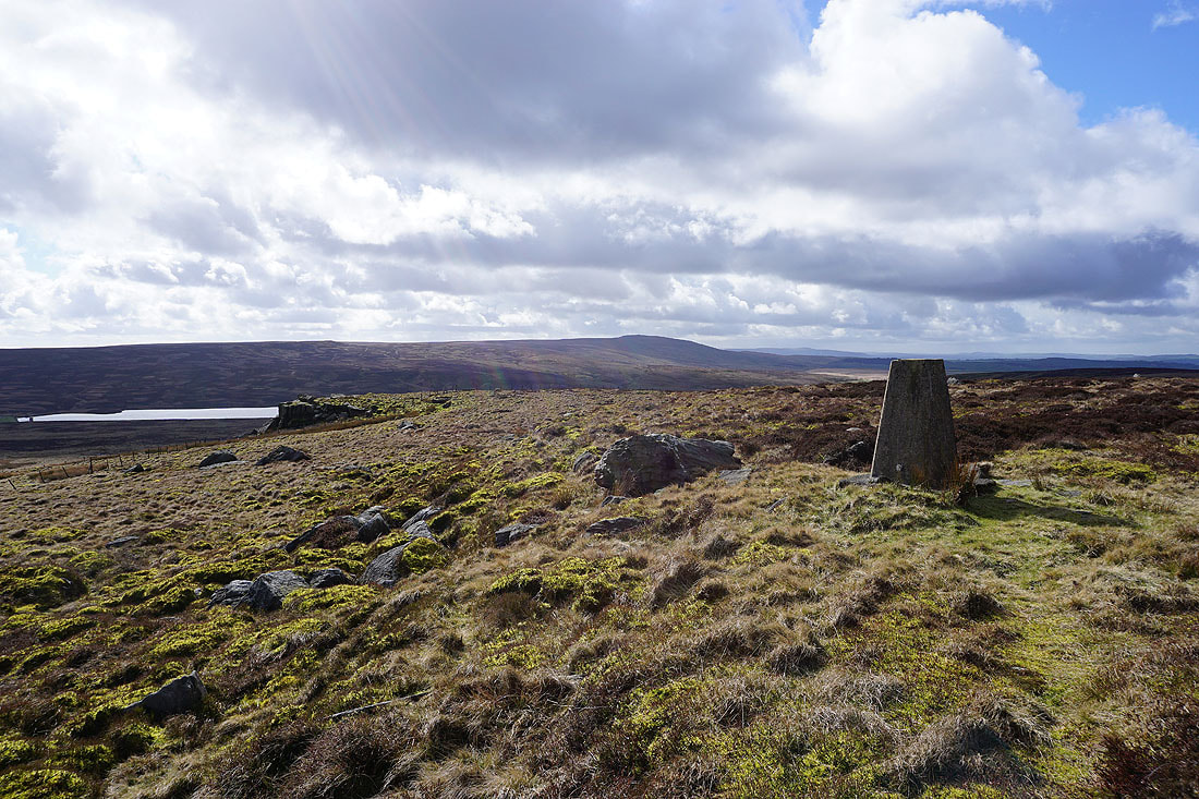
and the same again from the trig point
Hills in the distance include Buckden Pike, Great Whernside, Barden Moor and Barden Fell around Wharfedale
Pendle Hill, Colne, Weets Hill and Kelbrook Moor in the distance
Big views to the east towards Airedale
A last look back to Pendle Hill and Wolf Stones as I retrace my steps to the Pennine Way
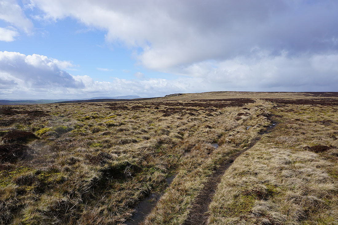
Fantastic long distance views to the east
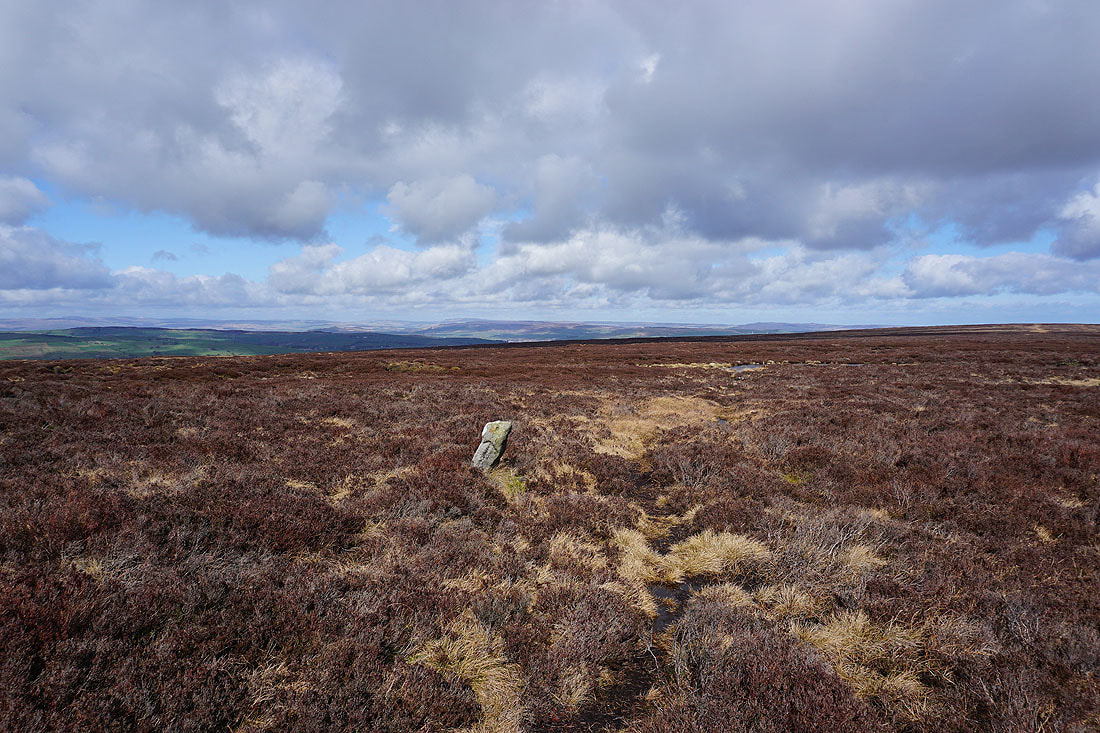
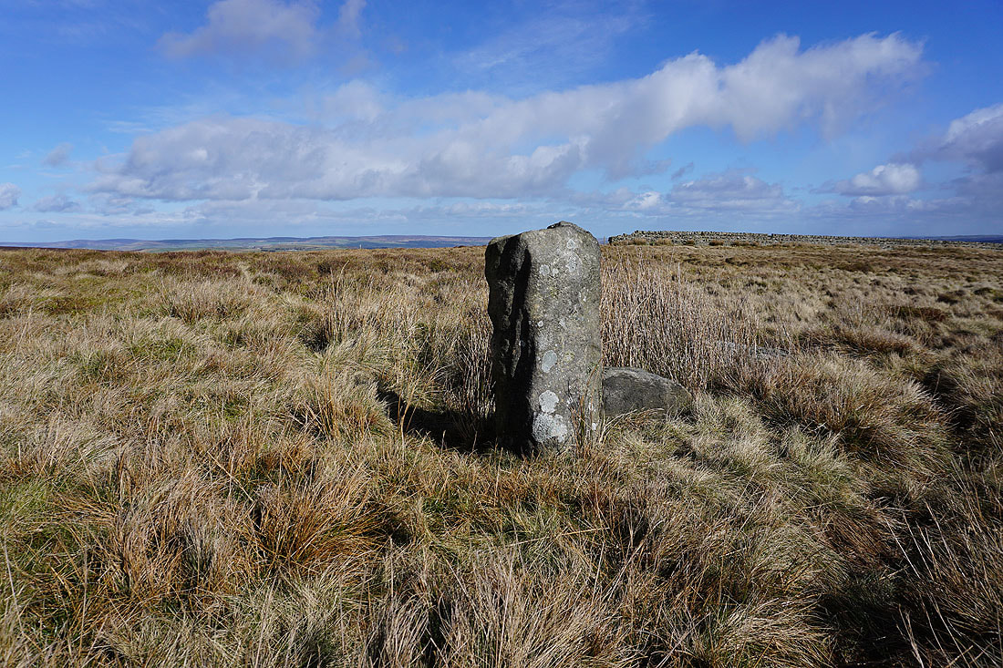
Old Bess. This stone is marked as such on the OS map.
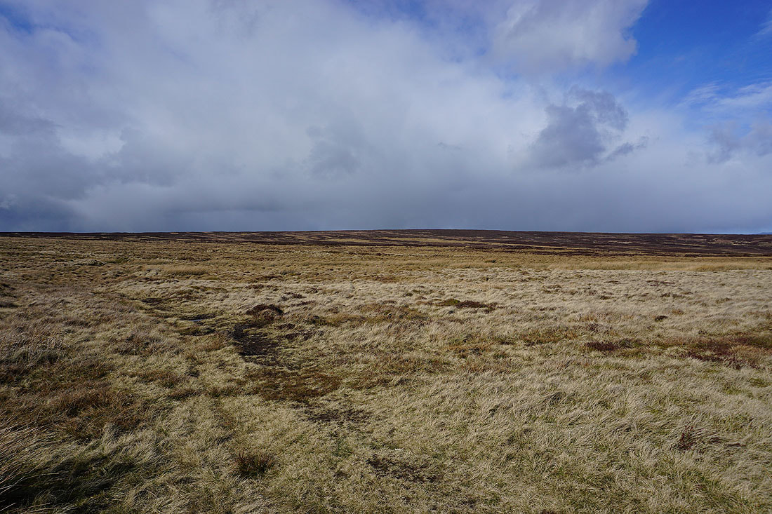
Shower approaching over the moor behind me
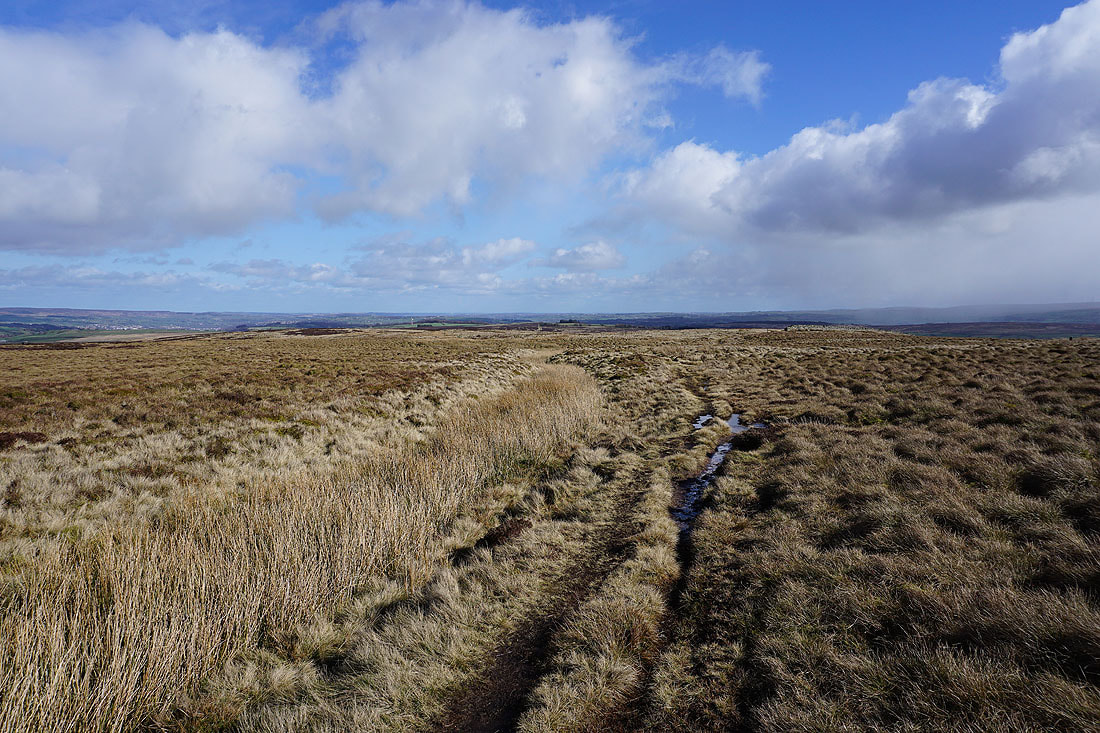
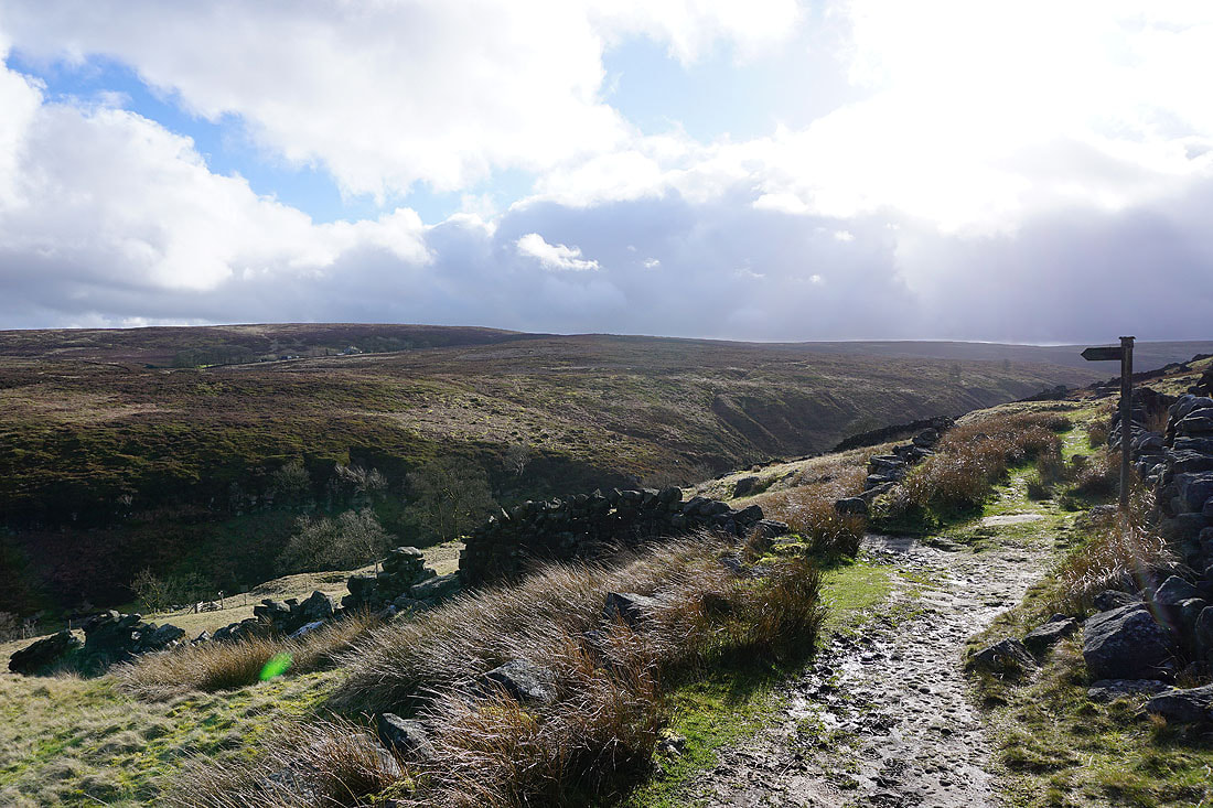
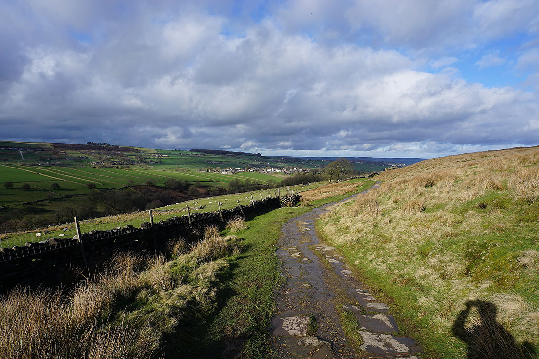
Following the Pennine Way down into the Worth Valley
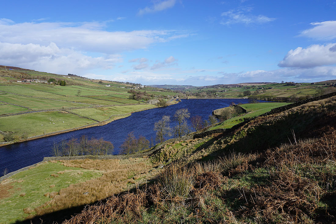
Ponden Reservoir comes into view
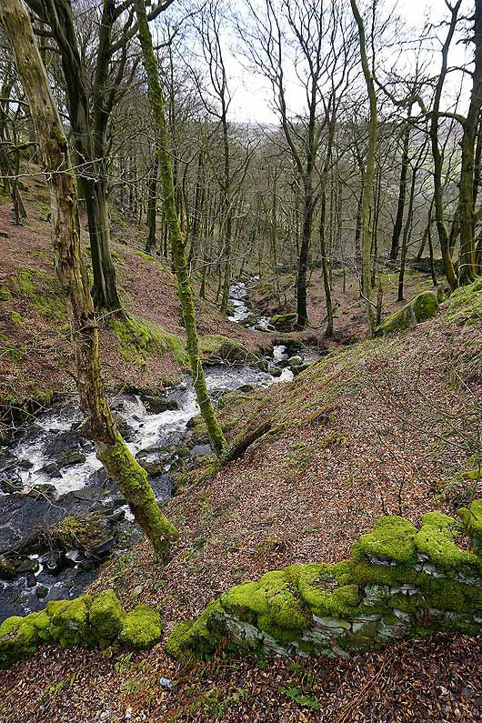
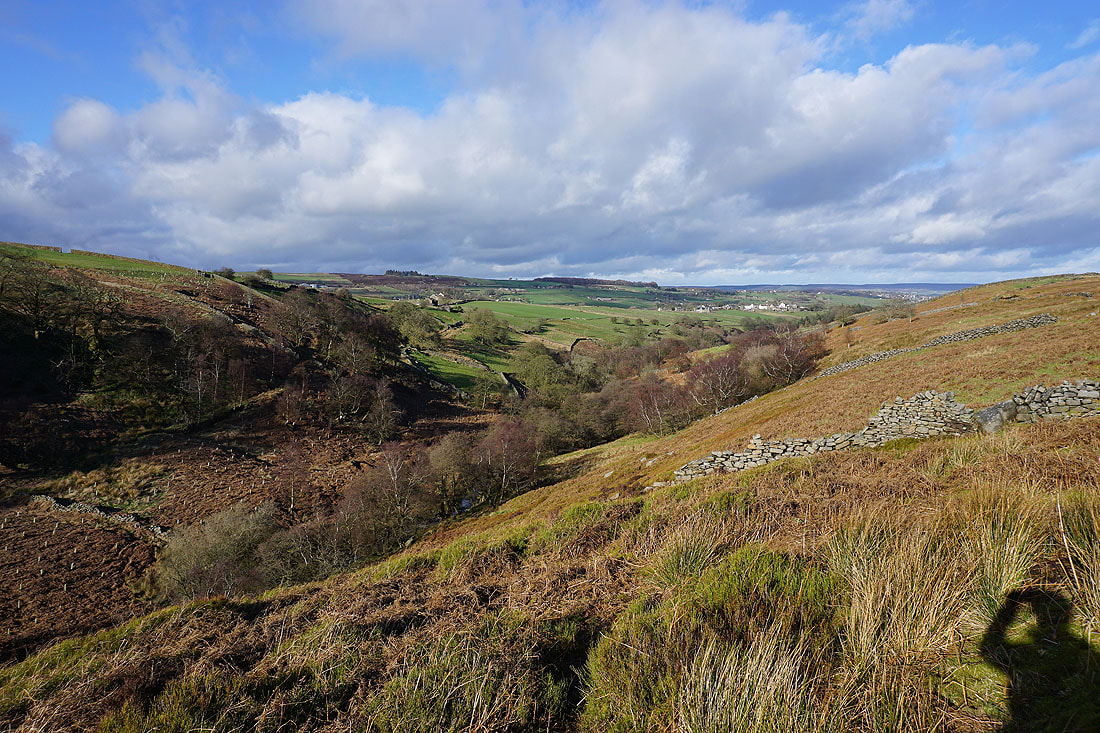
Looking down Dean Clough
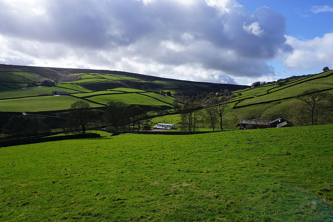
Looking up the Worth Valley from Dean Fields
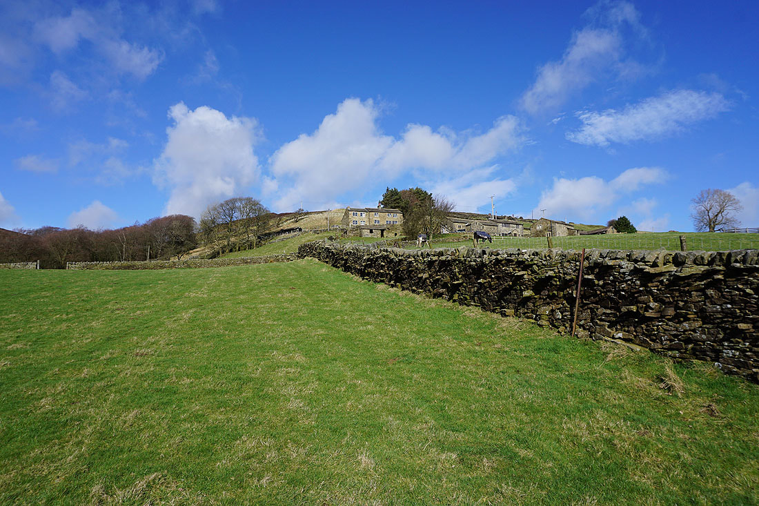
Blue skies above as I look back up to Dean Fields
On the Pennine Way around a very full Ponden Reservoir.....
Ponden Reservoir as the Pennine Way heads up onto The Height
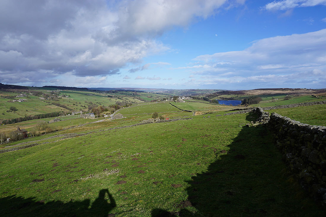
Stanbury and Lower Laithe Reservoir from The Height
After crossing The Height I take the trail of the Bronte Way down to Bronte Bridge
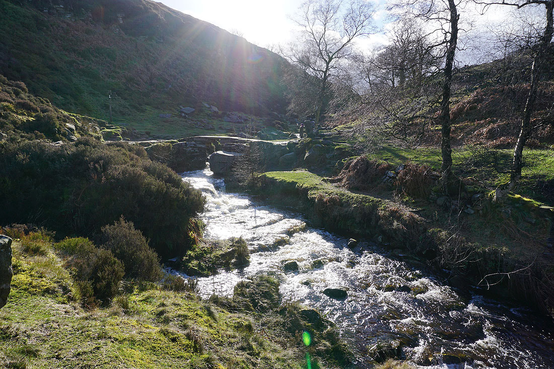
Bronte Bridge over South Dean Beck
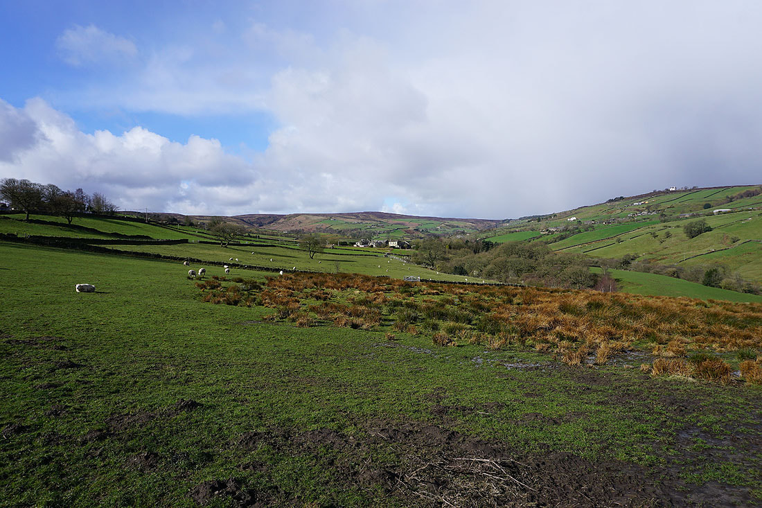
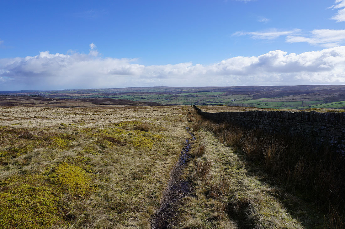
The valley of South Dean Beck down to Stanbury from the Bronte Way..
Penistone Hill ahead
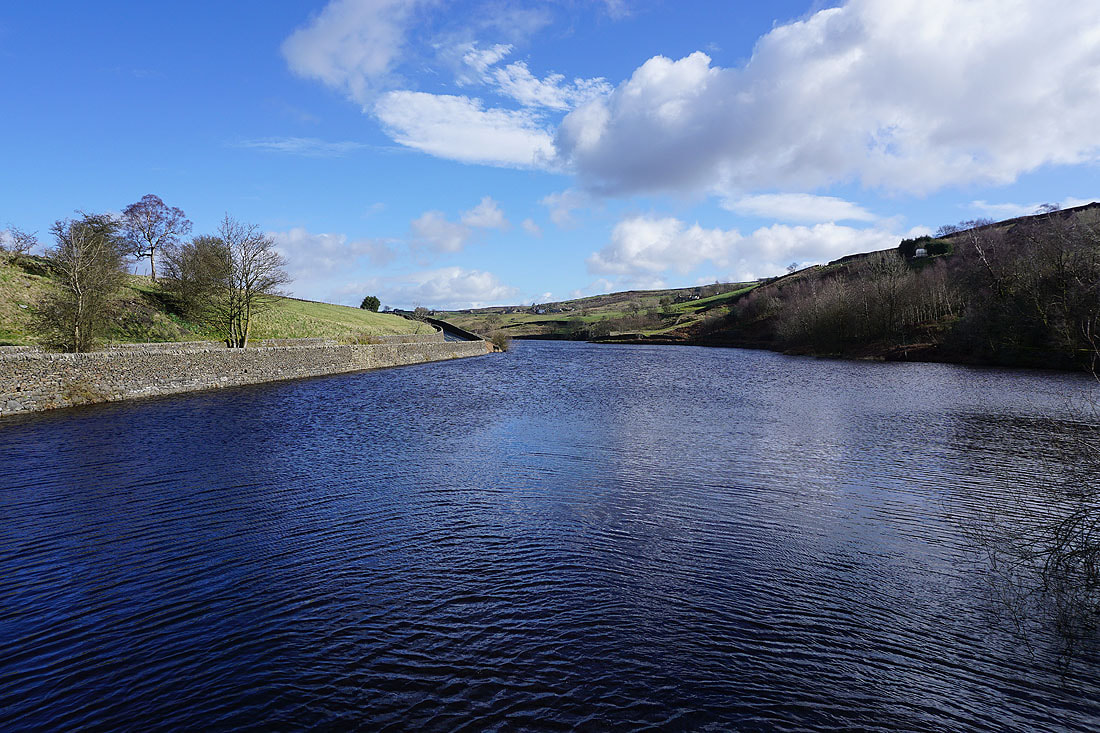
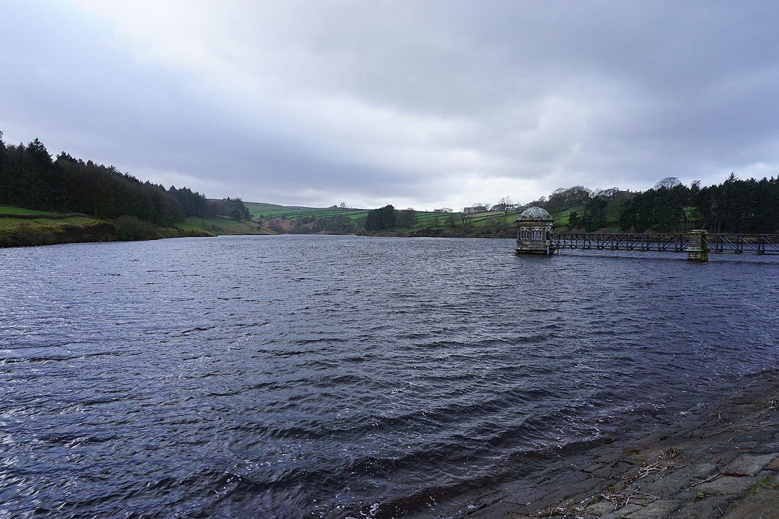
Lower Laithe Reservoir as I walk across its dam back to Stanbury
