16th March 2020 - Arncliffe to Malham Tarn and back
Walk Details
Distance walked: 12.0 miles
Total ascent: 1754 ft
OS map used: OL2 - Yorkshire Dales, Southern & Western areas
Time taken: 7 hrs
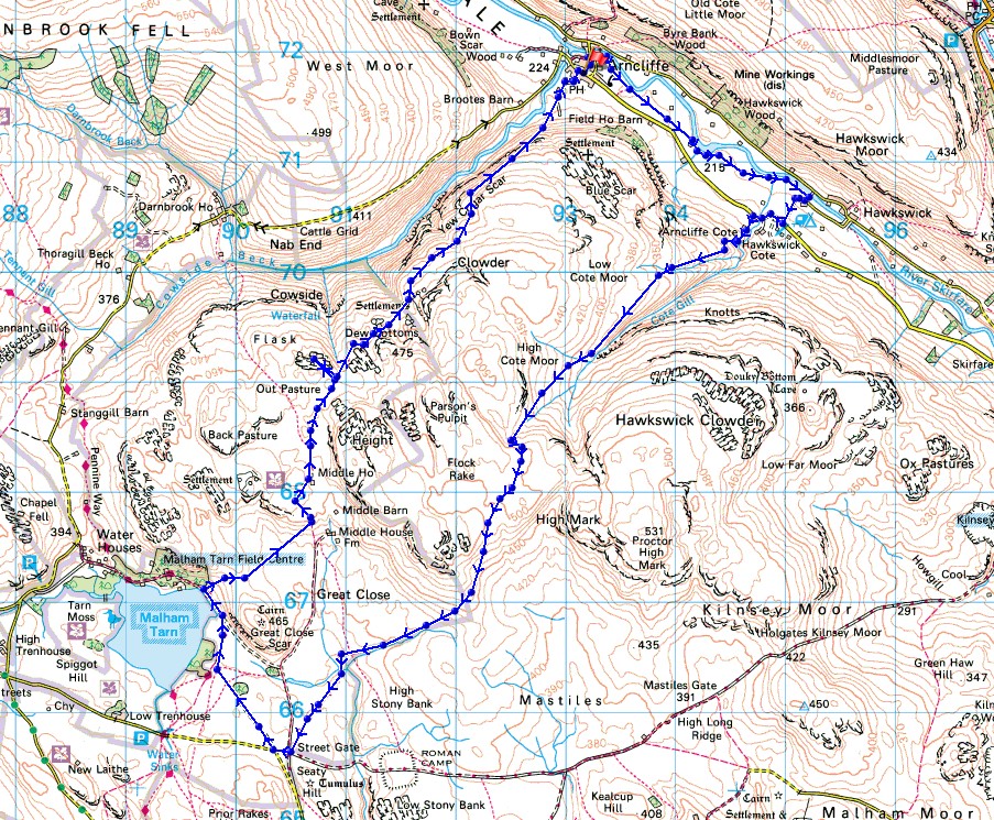
Route description: Arncliffe-Littondale-Out Gang Lane-Arncliffe Cote-High Cote Moor-High Lineseed Head-Street Gate-Malham Tarn-Middle House Farm-Out Pasture-Middle House Hill-Monk's Road-Arncliffe
The weather over the weekend may not have been up to much, but today was a beautiful spring day with plenty of sunshine, and I happen to have booked the day off work. I decided to do a walk across the moors between Littondale and Malhamdale, starting from Arncliffe in Littondale. It's a route that I've done a couple of times before, although in the opposite direction. There are great views to be enjoyed while crossing the moors, and Littondale is a quiet and beautiful valley. I've finished writing this report in the fourth week of the COVID-19 lockdown. At the time of the walk, given the situation that was developing in places like Italy and Spain, it was pretty obvious that it was only a matter of time before restrictions to movement would be put in place.
After parking in Arncliffe I made my way down to the bridge over the River Skirfare, and then took the footpath past St. Oswald's church and down LIttondale to Out Gang Lane. I then walked up Out Gang Lane to the main road up the dale, turned right and walked along the road until I reached a bridleway on the left at Arncliffe Cote. I took the bridleway and followed it uphill above the valley of Cote Gill to High Lineseed Head, past Lee Gate High Mark, and then down to Street Gate. After a short walk along the road towards Malham Tarn I took a track on the left which took me to the Pennine Way by the shores of Malham Tarn and a stop for lunch. Before the Pennine Way entered the woodland around Malham Tarn House I left it for a footpath on the right across to Middle House Farm, then took the bridleway north past the deserted Middle House and onto the moorland of Out Pasture. I left the bridleway to visit the top of Middle House Hill, and after returning to the bridleway I continued to follow it northeast above Cowside Beck and back down to Arncliffe.
Total ascent: 1754 ft
OS map used: OL2 - Yorkshire Dales, Southern & Western areas
Time taken: 7 hrs
Route description: Arncliffe-Littondale-Out Gang Lane-Arncliffe Cote-High Cote Moor-High Lineseed Head-Street Gate-Malham Tarn-Middle House Farm-Out Pasture-Middle House Hill-Monk's Road-Arncliffe
The weather over the weekend may not have been up to much, but today was a beautiful spring day with plenty of sunshine, and I happen to have booked the day off work. I decided to do a walk across the moors between Littondale and Malhamdale, starting from Arncliffe in Littondale. It's a route that I've done a couple of times before, although in the opposite direction. There are great views to be enjoyed while crossing the moors, and Littondale is a quiet and beautiful valley. I've finished writing this report in the fourth week of the COVID-19 lockdown. At the time of the walk, given the situation that was developing in places like Italy and Spain, it was pretty obvious that it was only a matter of time before restrictions to movement would be put in place.
After parking in Arncliffe I made my way down to the bridge over the River Skirfare, and then took the footpath past St. Oswald's church and down LIttondale to Out Gang Lane. I then walked up Out Gang Lane to the main road up the dale, turned right and walked along the road until I reached a bridleway on the left at Arncliffe Cote. I took the bridleway and followed it uphill above the valley of Cote Gill to High Lineseed Head, past Lee Gate High Mark, and then down to Street Gate. After a short walk along the road towards Malham Tarn I took a track on the left which took me to the Pennine Way by the shores of Malham Tarn and a stop for lunch. Before the Pennine Way entered the woodland around Malham Tarn House I left it for a footpath on the right across to Middle House Farm, then took the bridleway north past the deserted Middle House and onto the moorland of Out Pasture. I left the bridleway to visit the top of Middle House Hill, and after returning to the bridleway I continued to follow it northeast above Cowside Beck and back down to Arncliffe.
Route map
© Crown copyright. All rights reserved. License number PU 100034184.
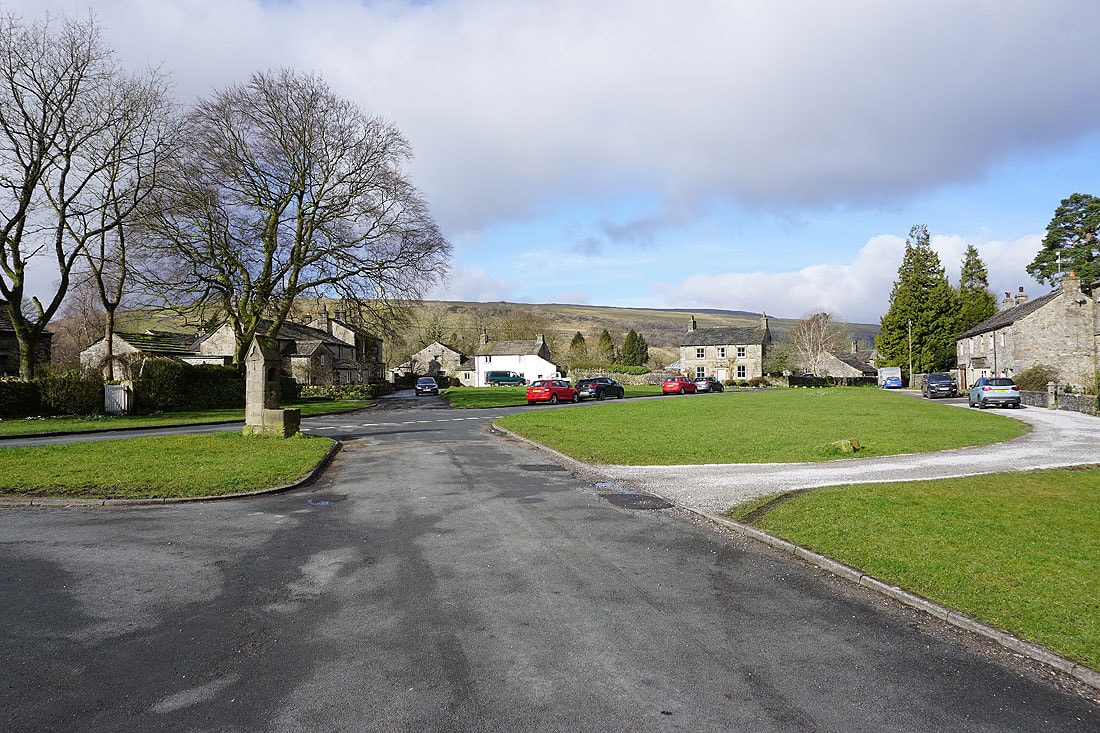
It's a fine spring morning as I set off from Arncliffe in Littondale
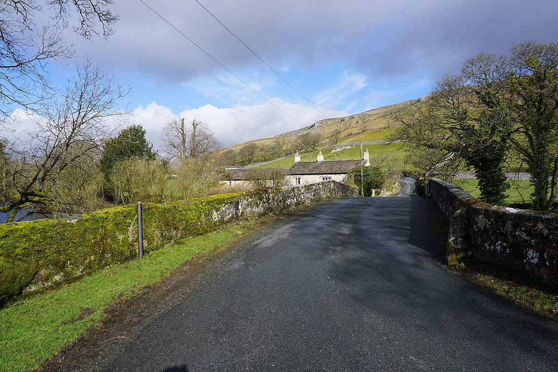
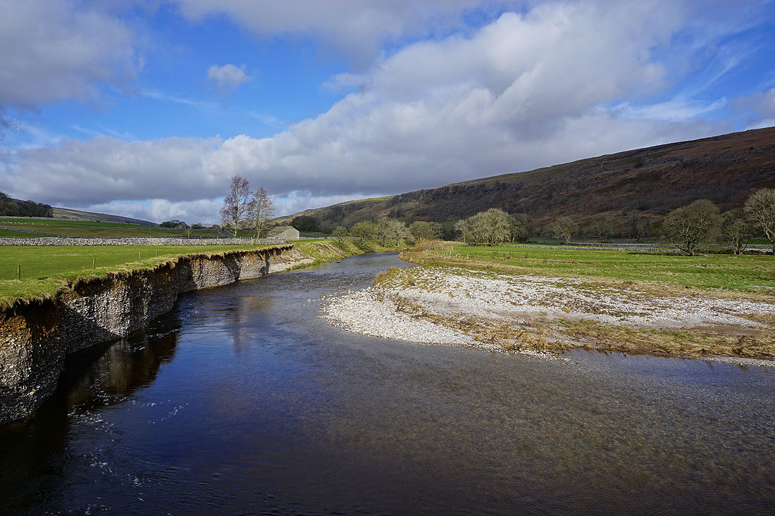
Before I take the footpath down the valley, a quick look at the view from the bridge over the River Skirfare
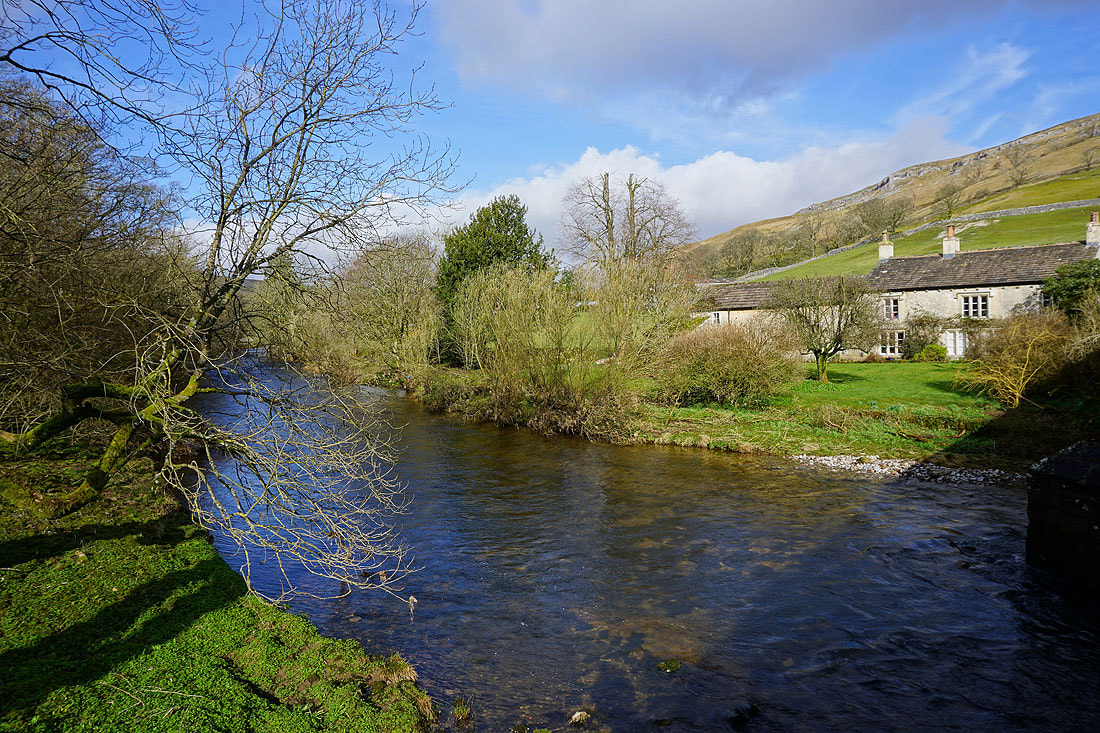
The cottage above the river makes for a pleasant scene
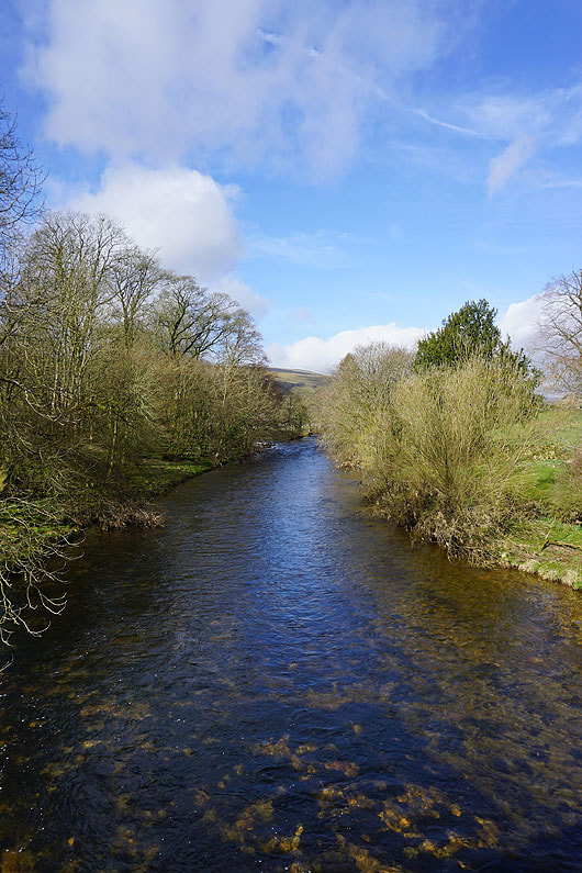
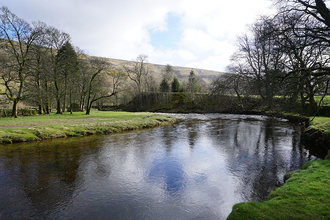
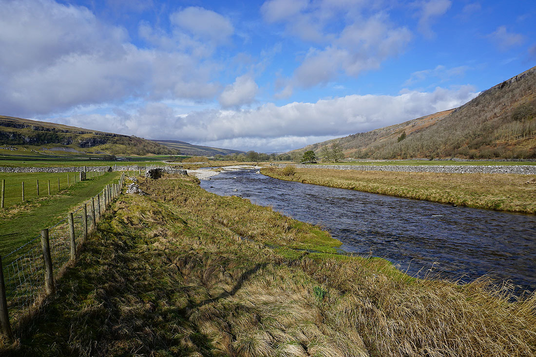
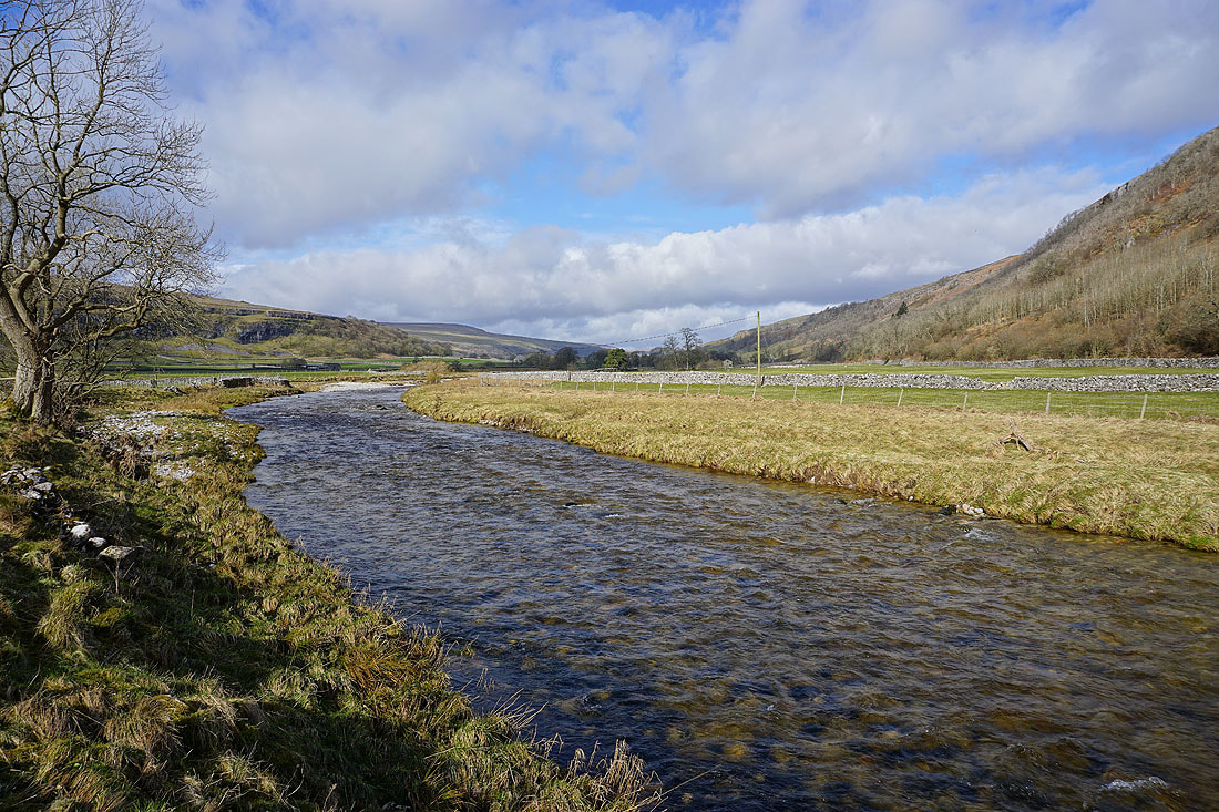
The River Skirfare
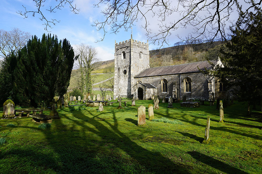
The church of St. Oswald's
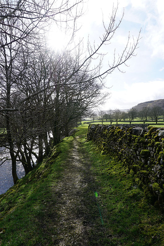
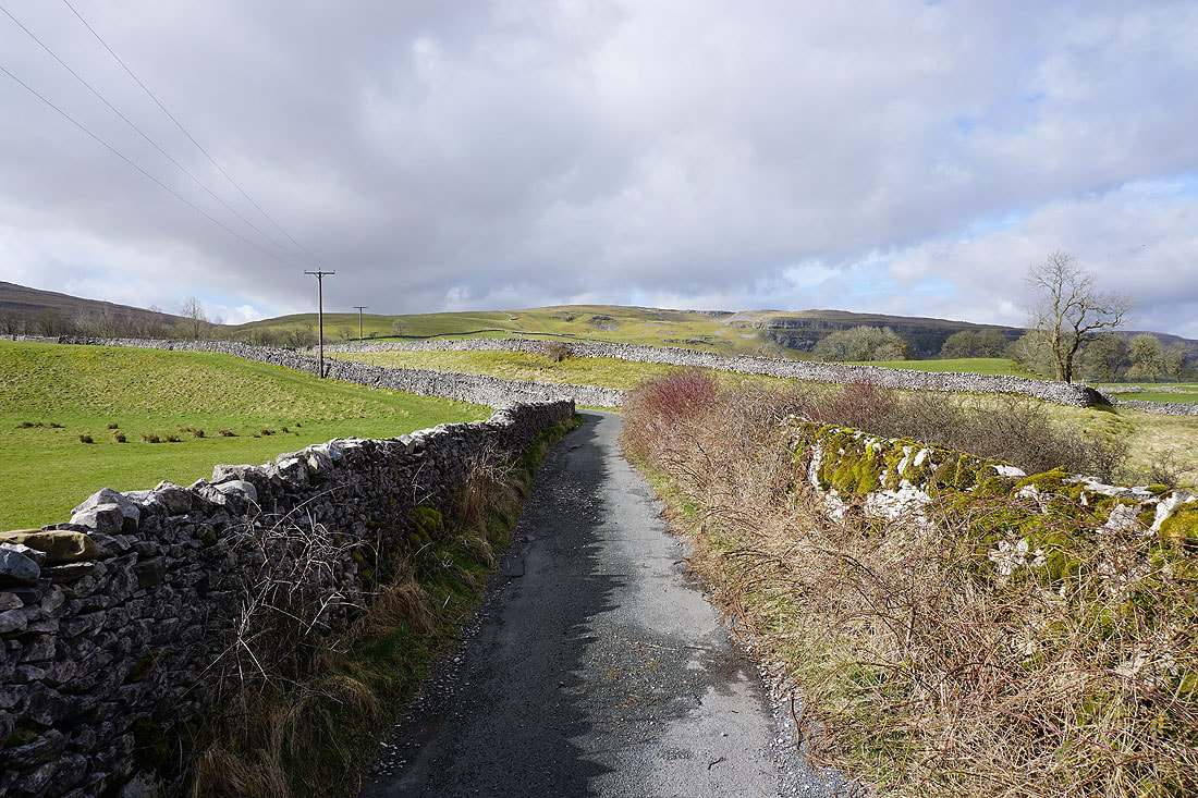
Leaving Arncliffe along the path by the River Skirfare..
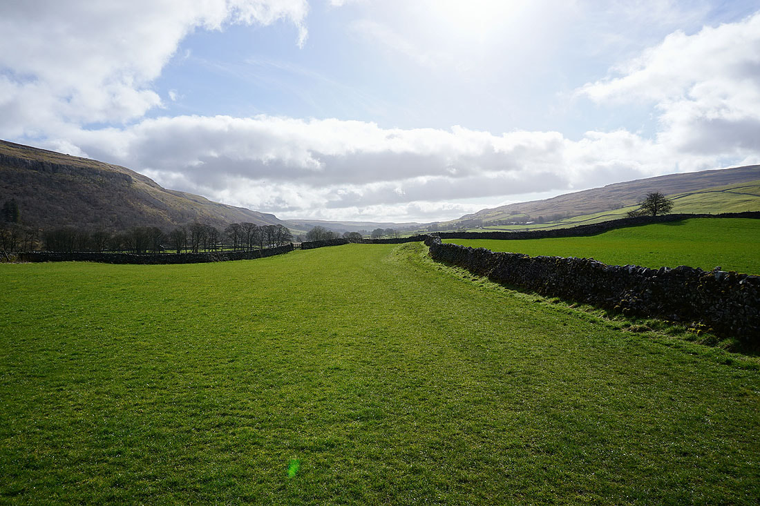
Heading down Littondale
I have a great view of Littondale and the River Skirfare as I follow the path down the dale to Out Gang Lane...
Heading up Out Gang Lane
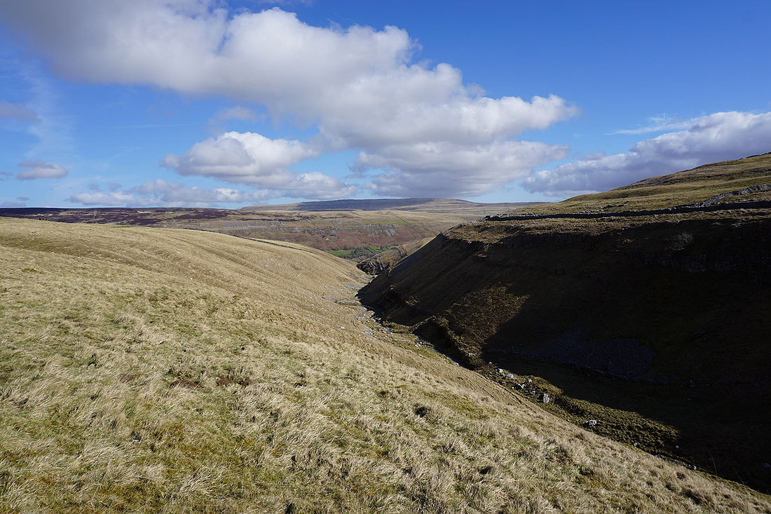
Looking back down into Littondale and to Hawkswick and Arncliffe Cote as I take the bridleway up onto High Cote Moor..
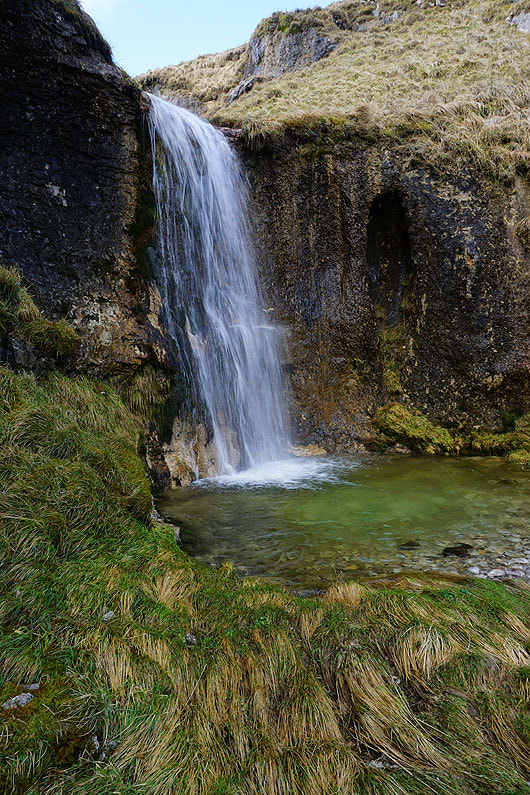
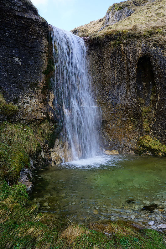
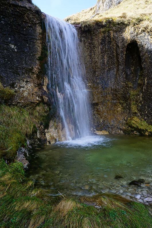
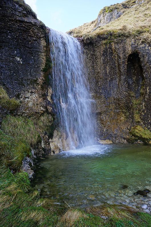
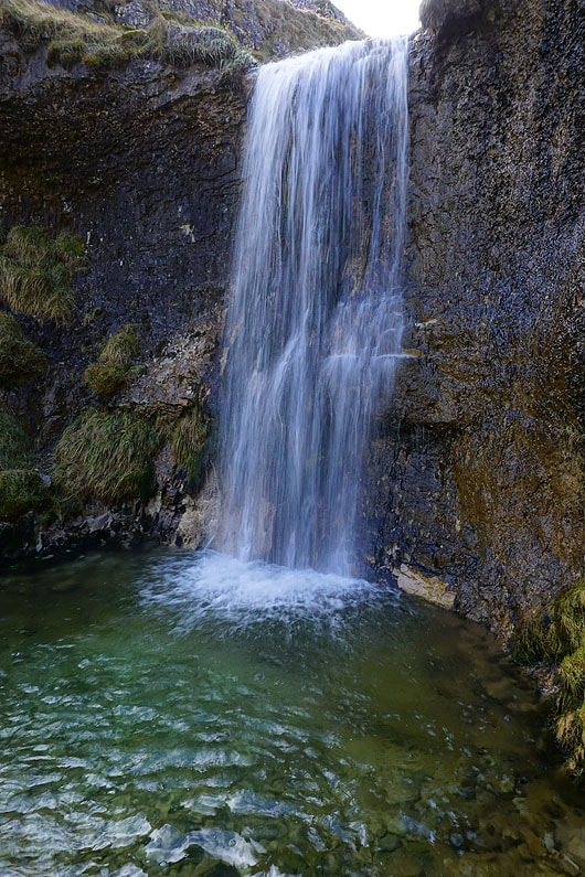
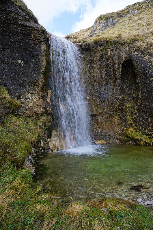
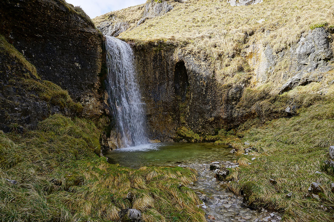
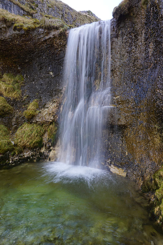
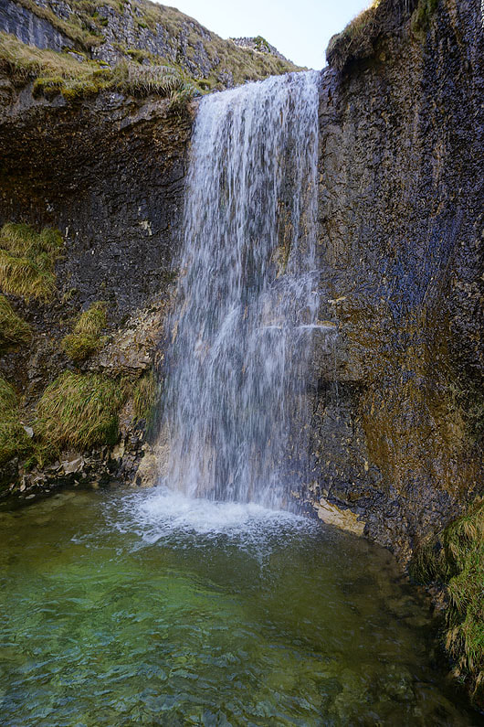
The deep valley of Cote Gill is to my left as I head uphill. There's a waterfall that's worth having a look at that's just out of sight at the moment, so I'm going to leave the path and drop down into the gill.
|
|
Lots of photos of the main fall in Cote Gill. I tried a few different settings on my camera.........
|
|
|
|
|
|
|
|
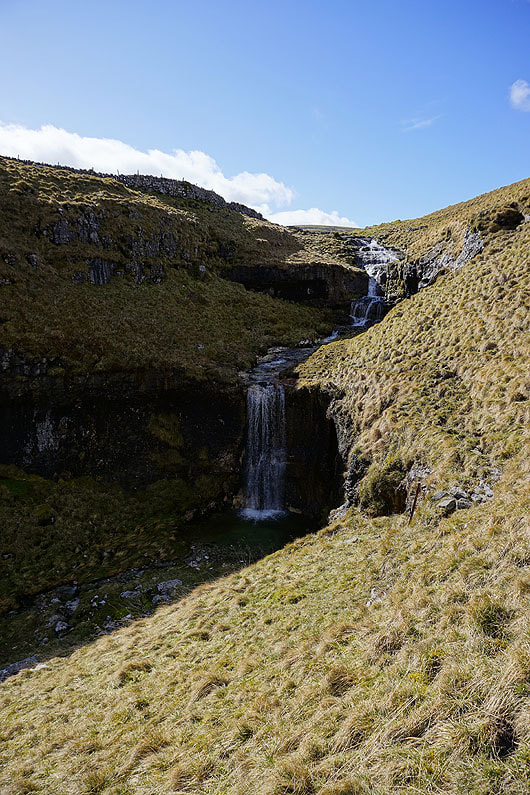
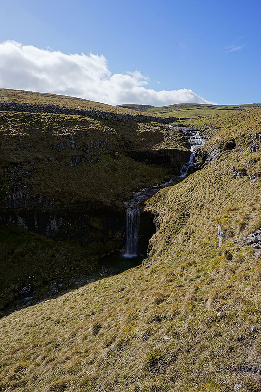
Cote Gill as I head back up to the bridleway..
Looking back down Cote Gill to Littondale..
..as I follow the bridleway up to High Lineseed Head
I have a great view to Great Whernside in the distance when I turn around
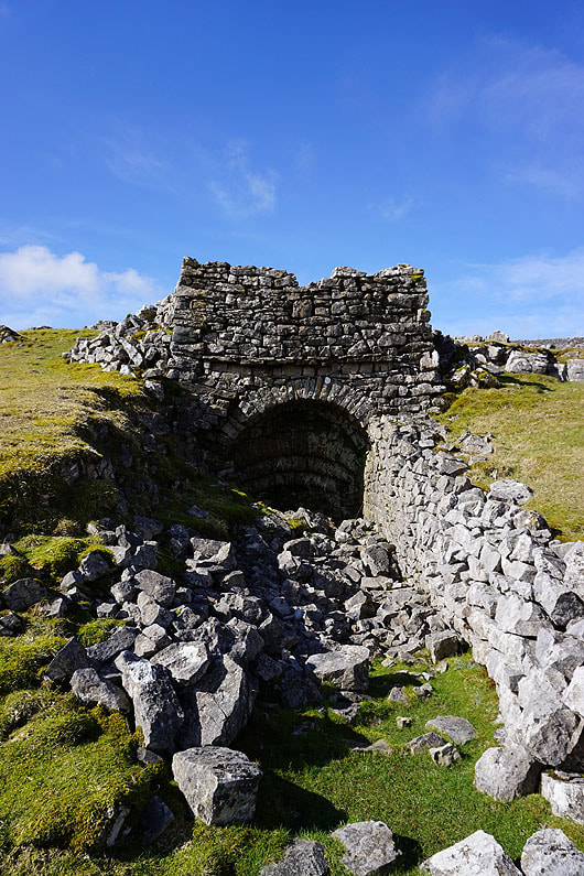
Past the ruins of a lime kiln
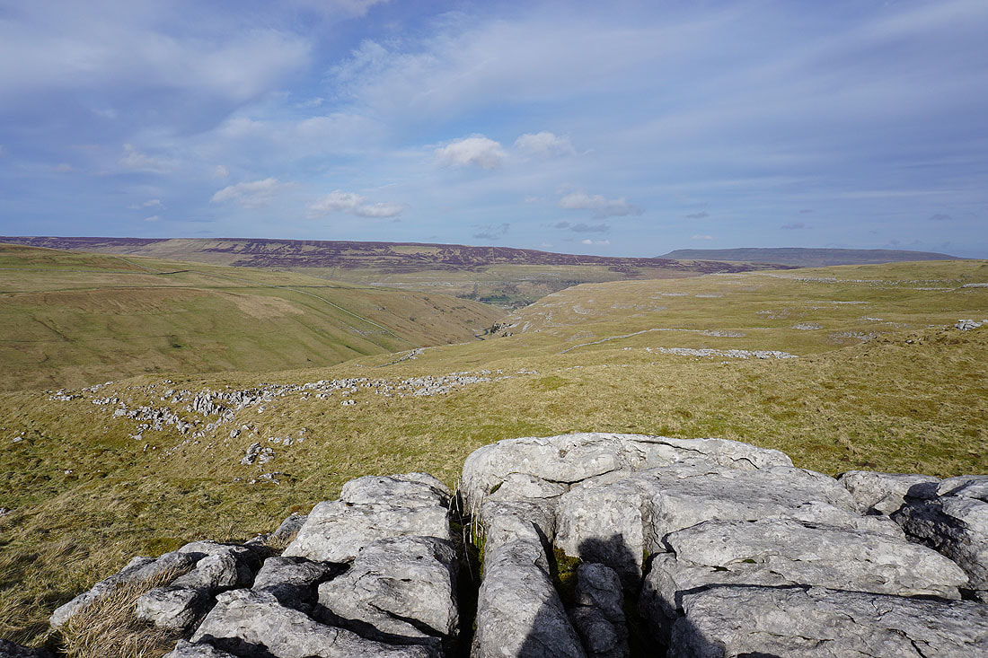
The view from High Lineseed Head across the top of Old Cote Moor Top to Buckden Pike
and to Great Whernside
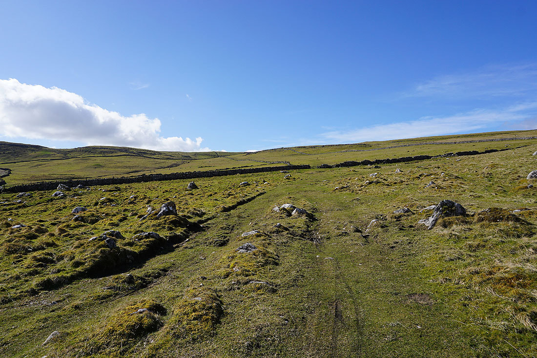
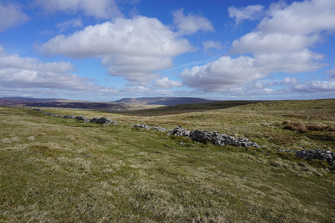
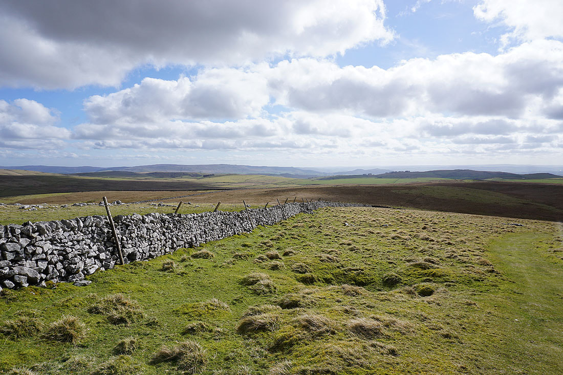
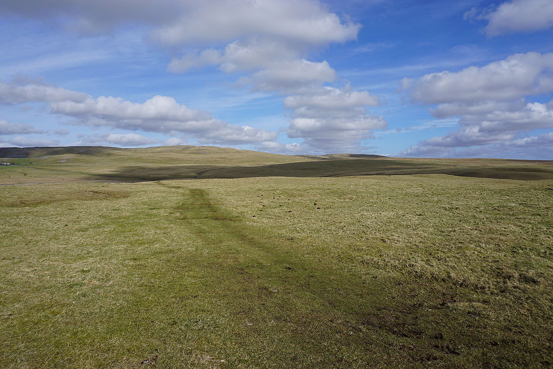
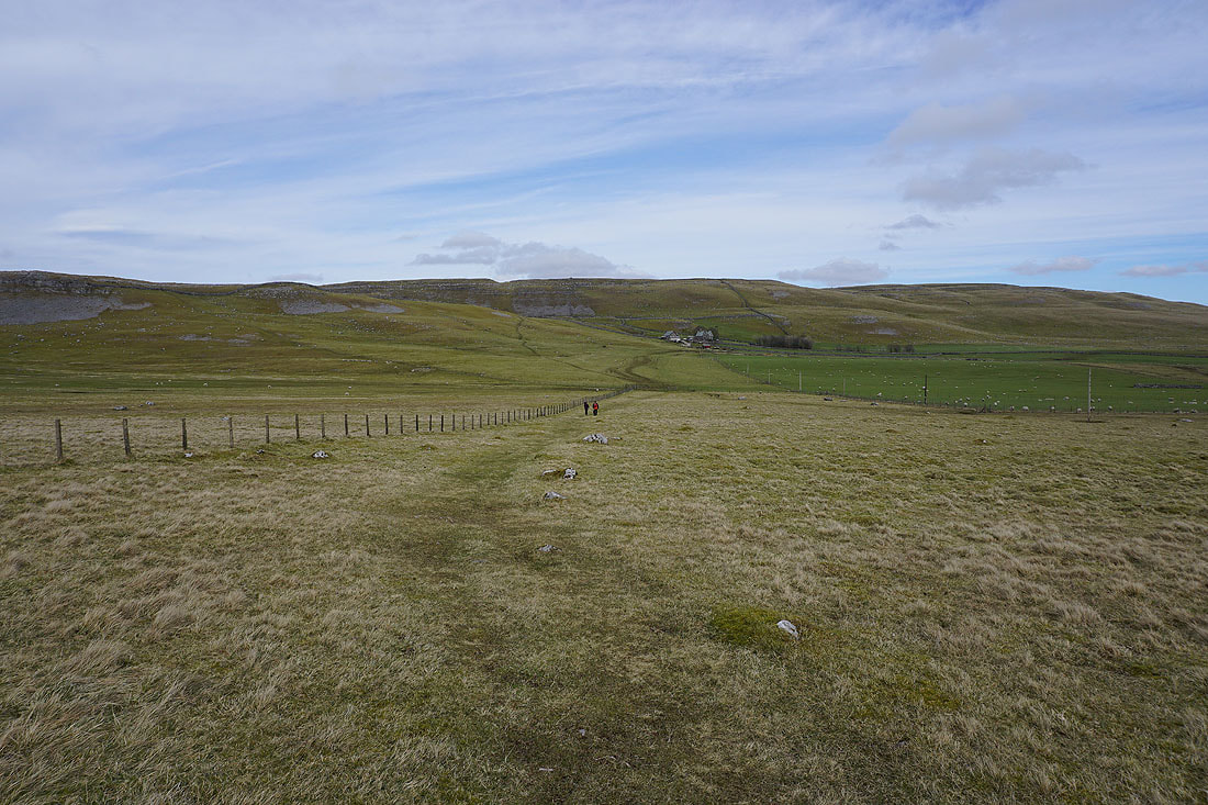
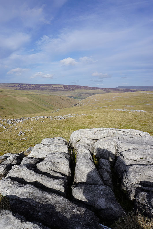
From High Lineseed Head I pass Lee Gate High Mark and the moors above Malhamdale appear ahead, along with a distant Pendle Hill..
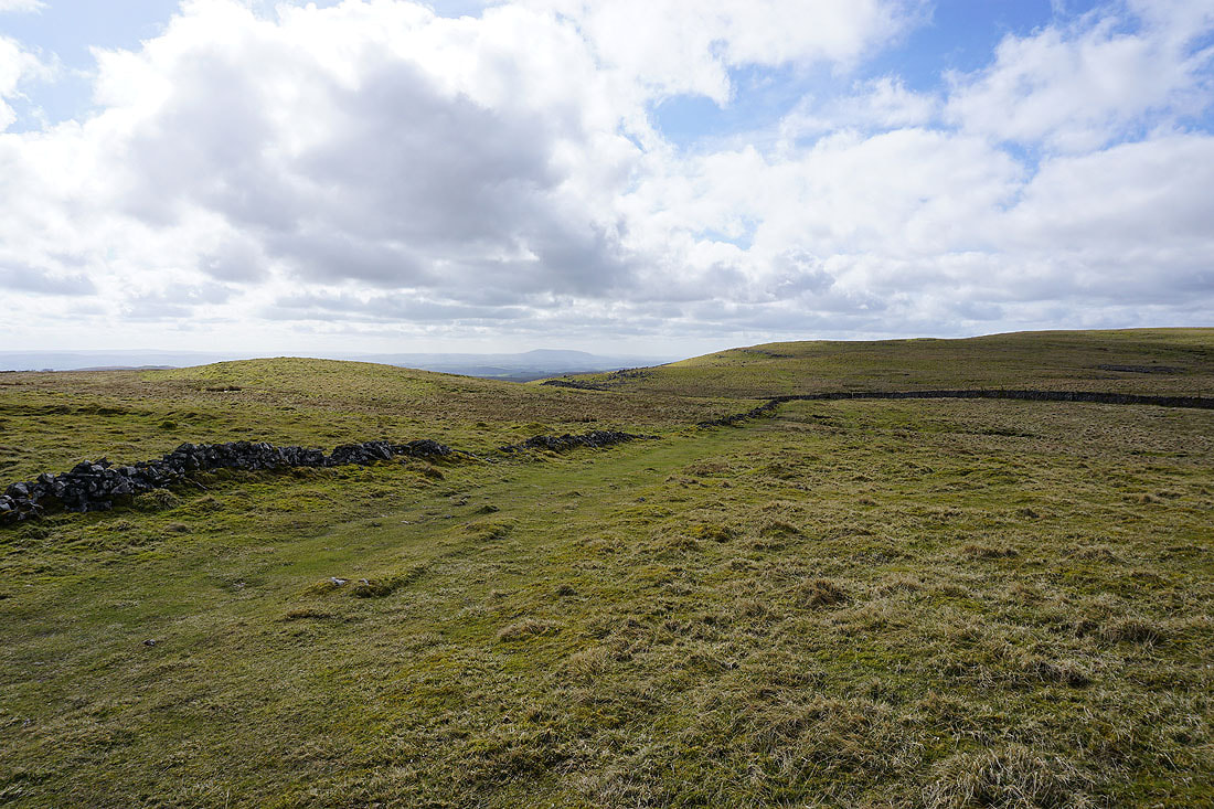
The limestone moorland of High Mark and Proctor High Mark
Barden Moor, Sharp Haw and Weets Top in the distance
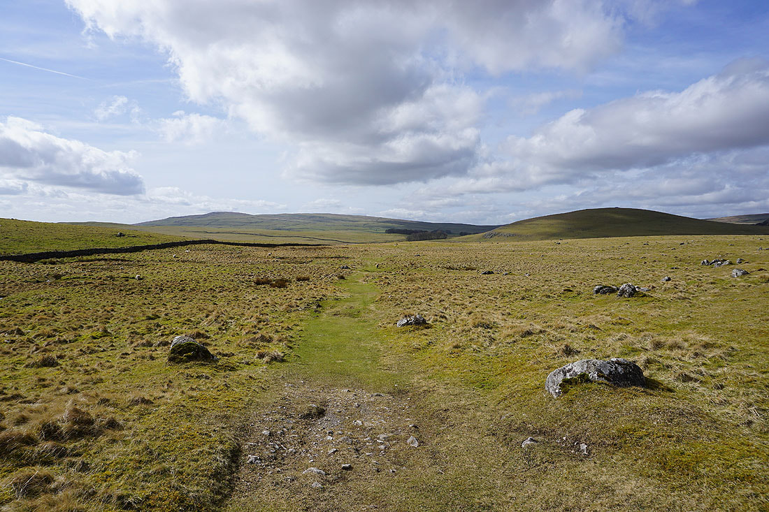
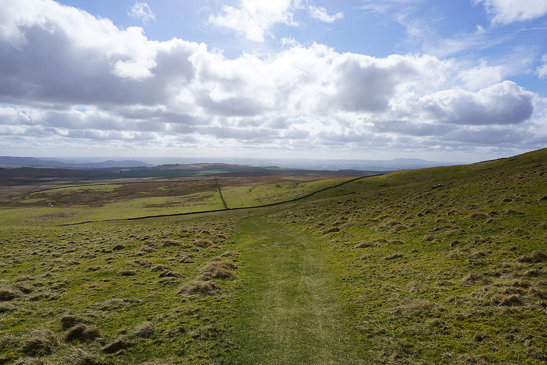
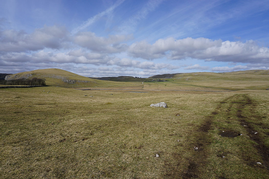
Kirkby Fell on the left and Great Close Hill on the right as I head towards Street Gate
Blue skies over open moors. A sight that lifts my spirits.
Great Close Hill on the other side of Great Close Mire. The amount of water pouring out of it and along the bridleway meant that I couldn't get to the gate that it goes through. I ended up going through a nearby gap in a wall to get around it.
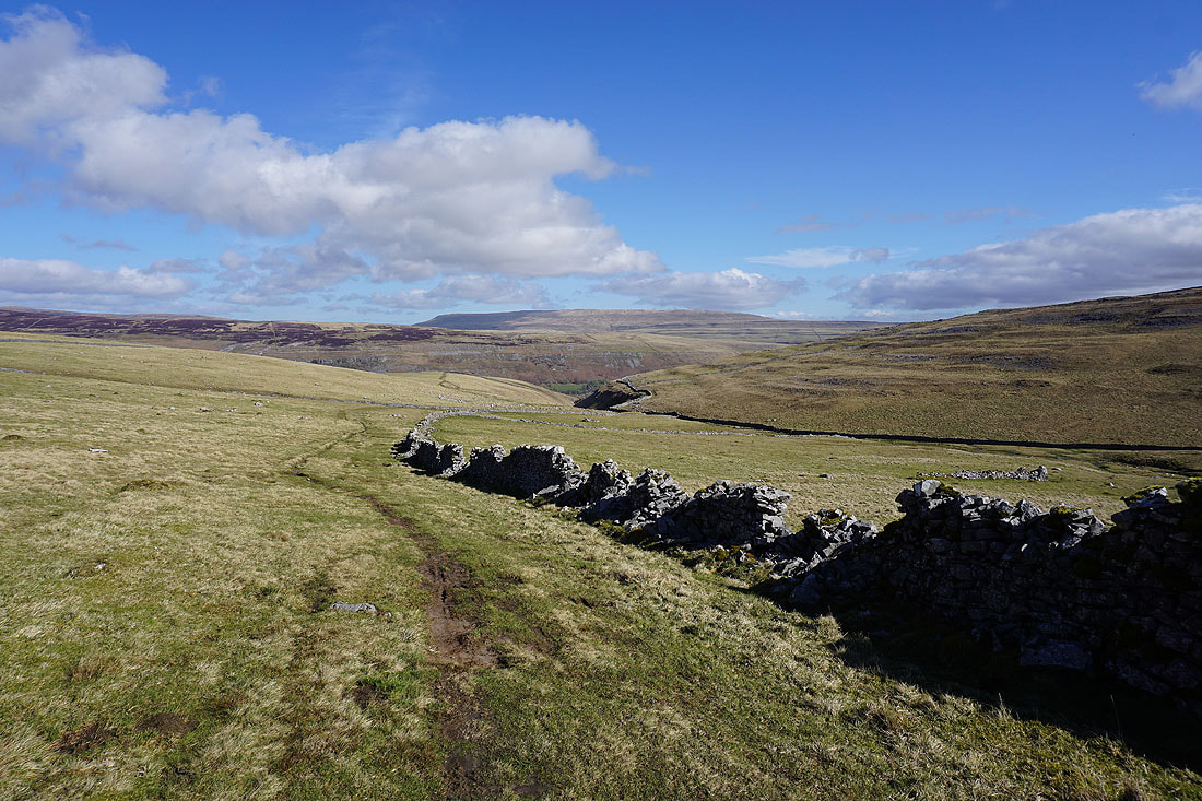
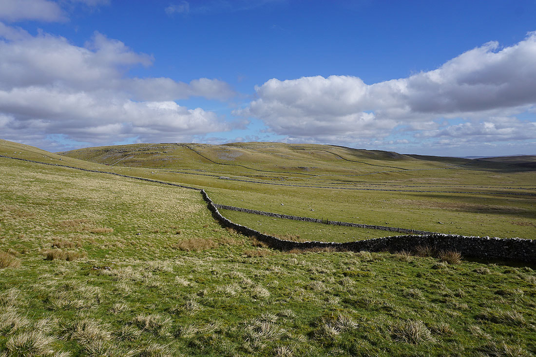
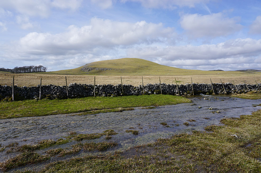
Great Close Hill, Middle House Farm and Clapham High Mark as I reach Street Gate
Clapham High Mark and Proctor High Mark
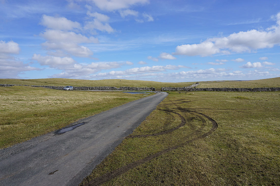
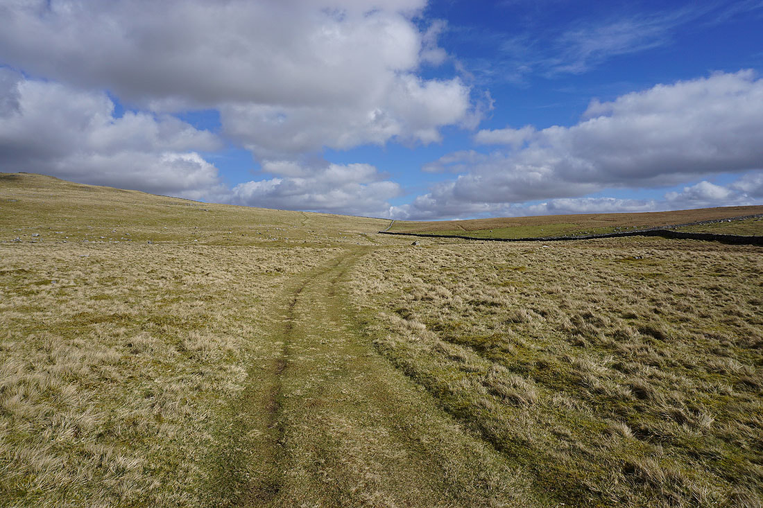
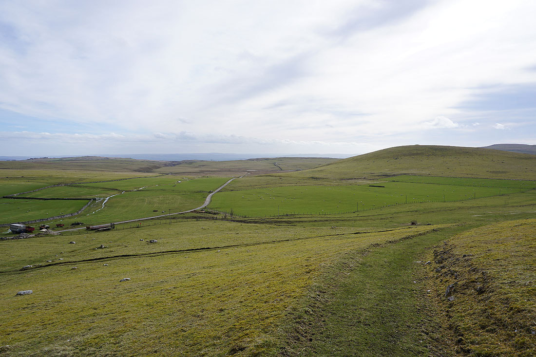
Looking back to Street Gate from the road to Malham Tarn
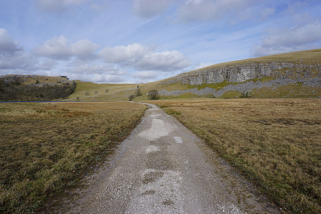
I soon leave the road and take the track beneath Great Close Scar to Malham Tarn
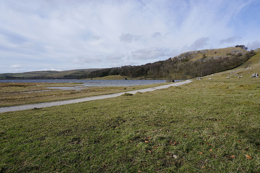
Malham Tarn and Highfolds Scar
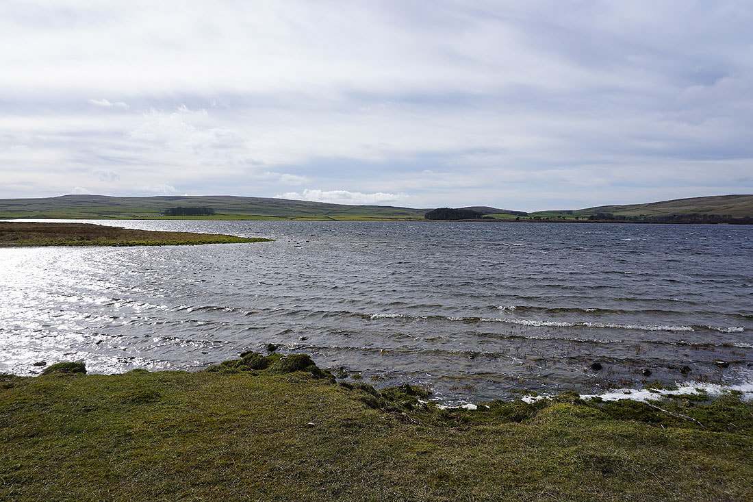
There's a strong wind blowing across Malham Tarn this afternoon..
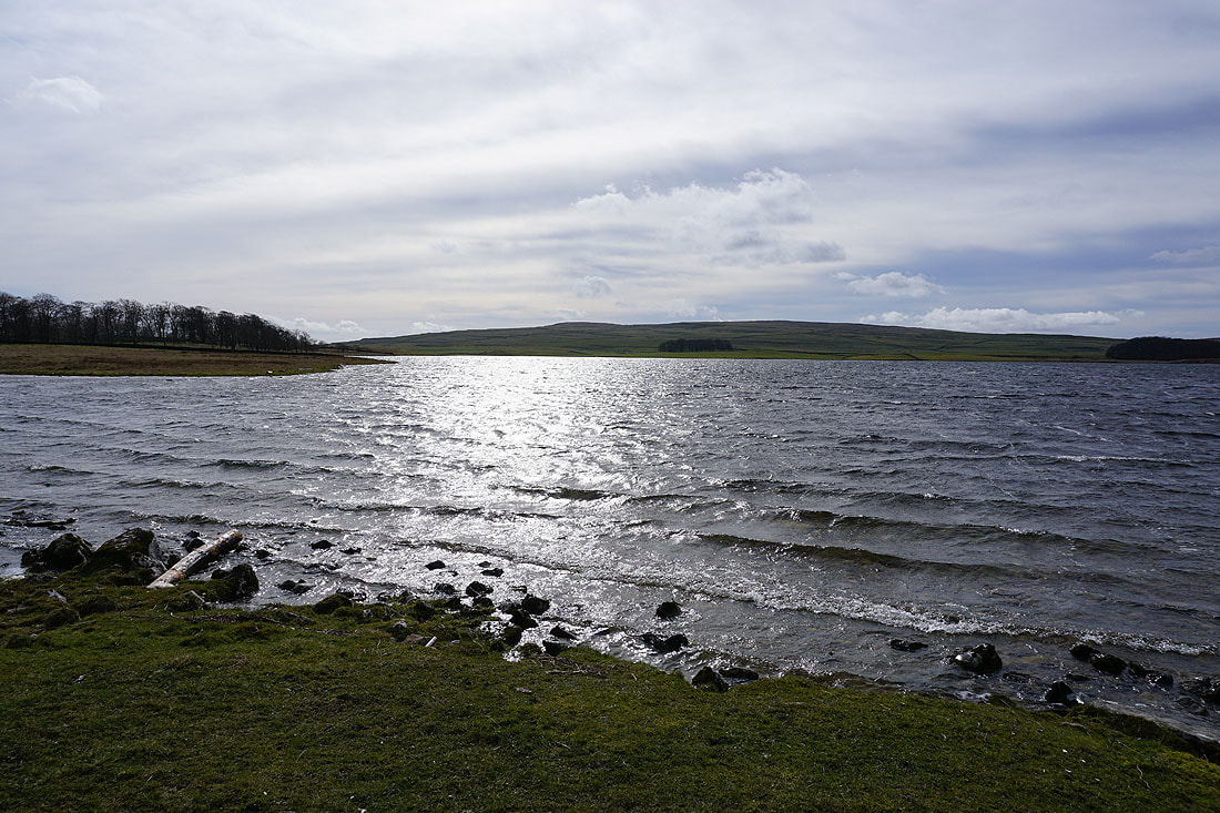
Leaving Malham Tarn behind..
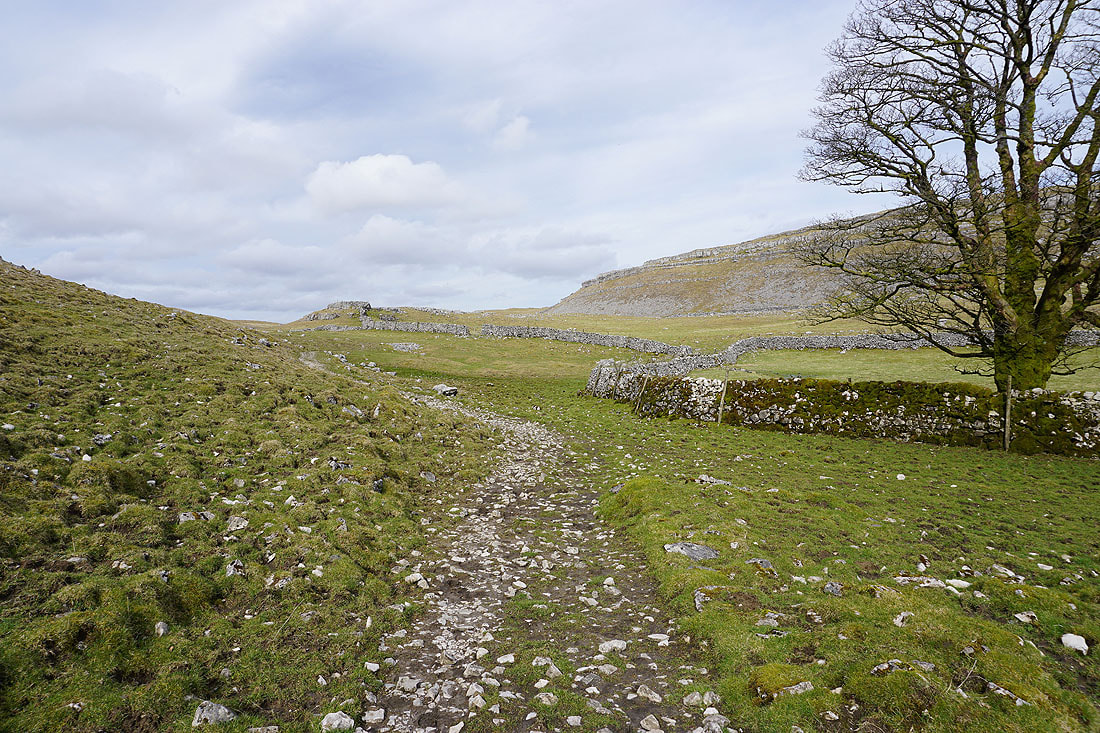
..as I take the Monk's Road path to Middle House Farm
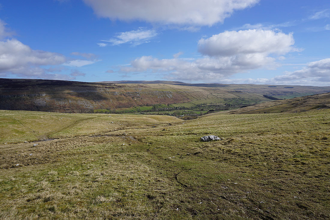
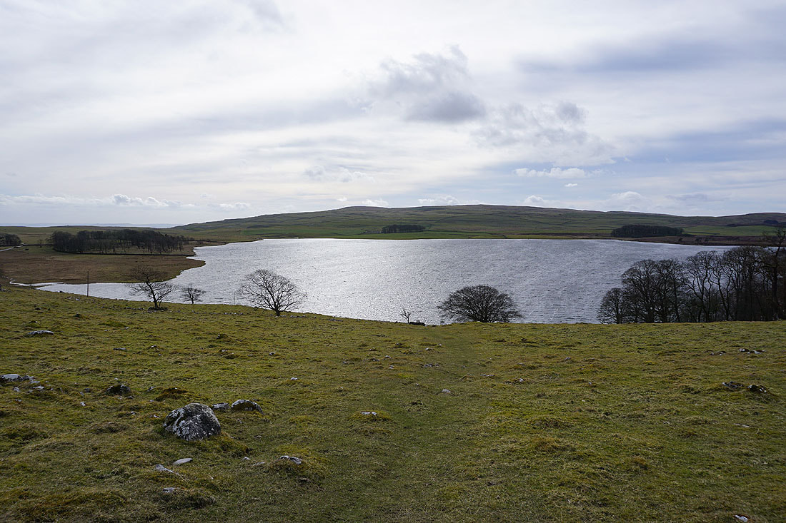
Looking back to the moorland above Gordale Scar, and to Great Close Hill, from above Middle House Farm
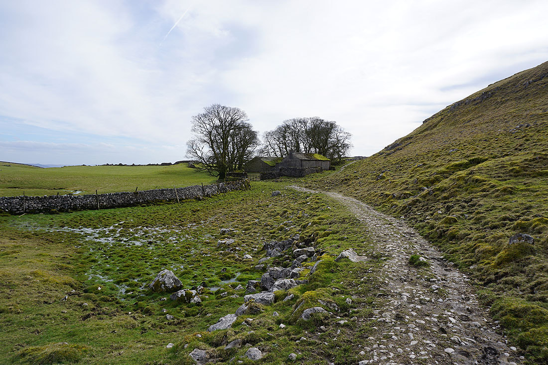
Past the deserted Middle House..
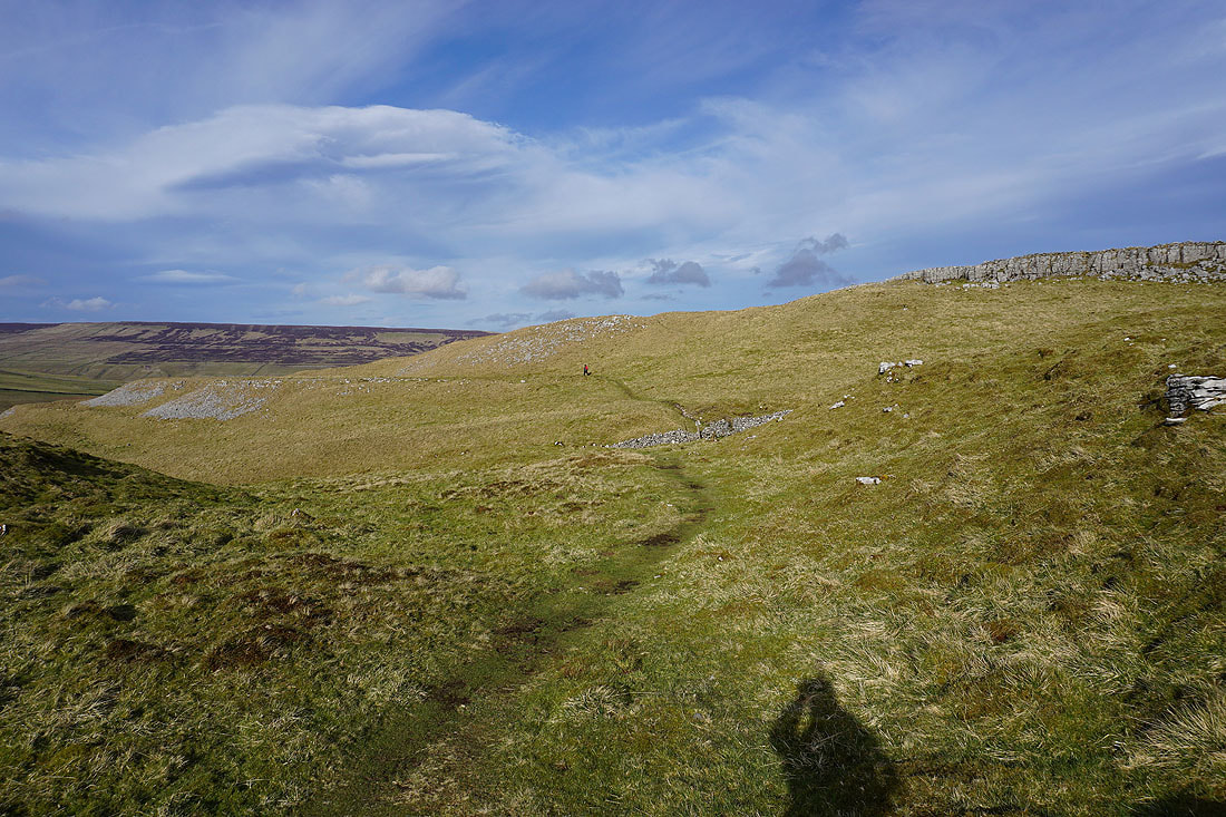
..and onto the moorland of Out Pasture
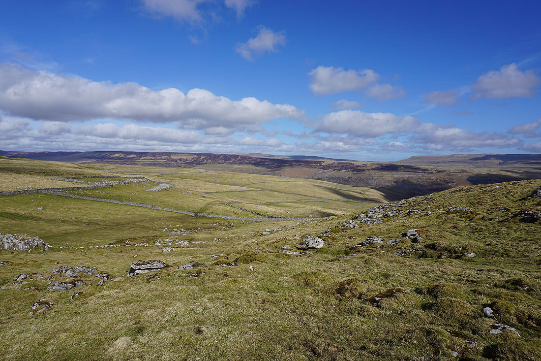
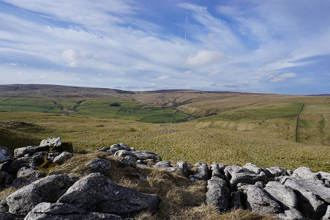
I've left the path to Arncliffe to visit the nearby top of Middle House Hill. Looking down the valley of Cowside Beck to Old Cote Moor Top, with Great Whernside in the distance on the right..
Fountains Fell and Darnbrook Fell
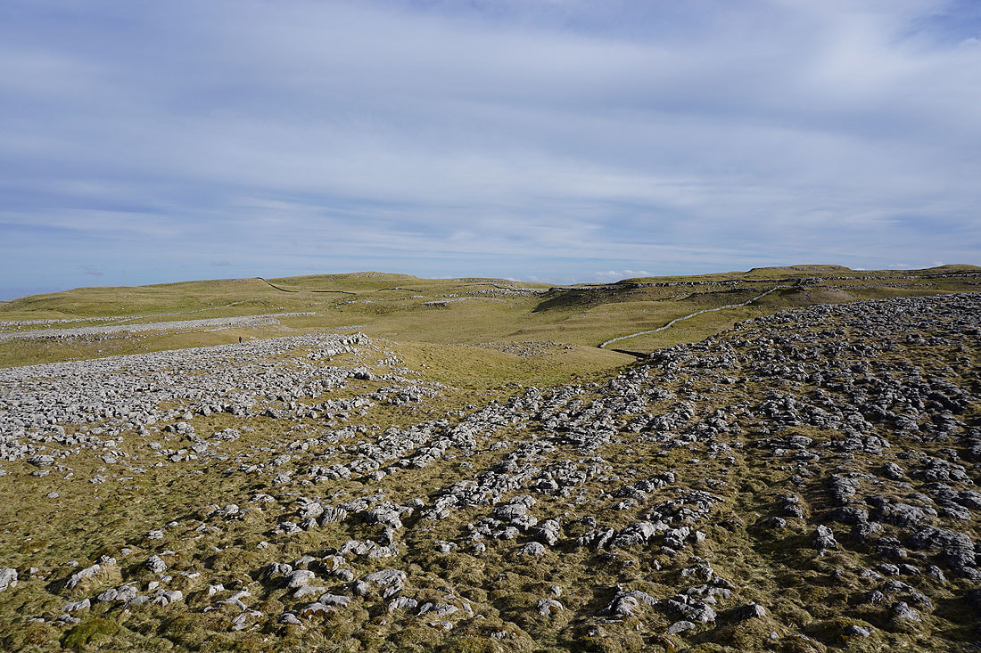
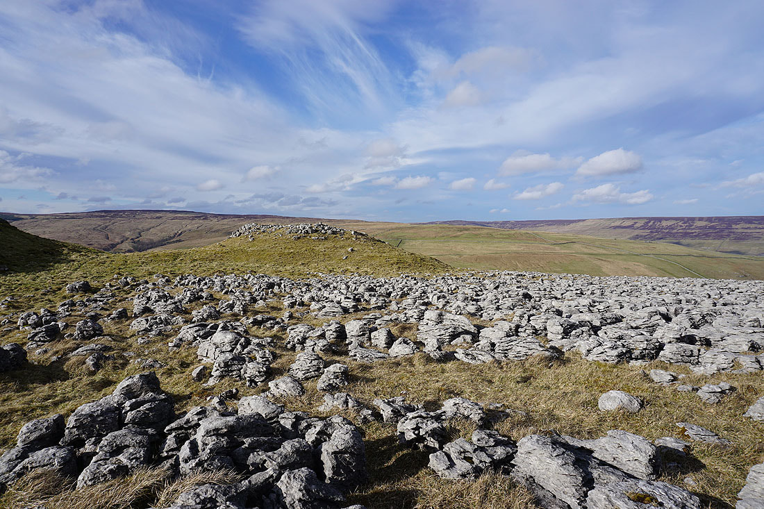
The limestone moorland of Parson's Pulpit and Height
Leaving Middle House Hill to..
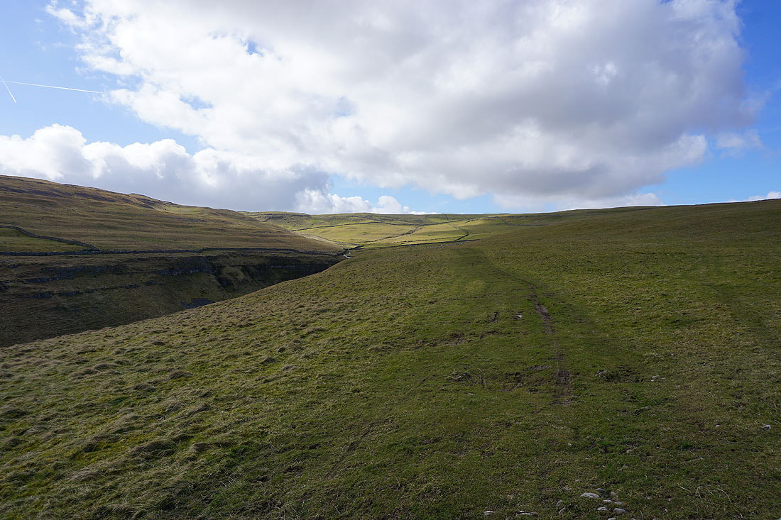
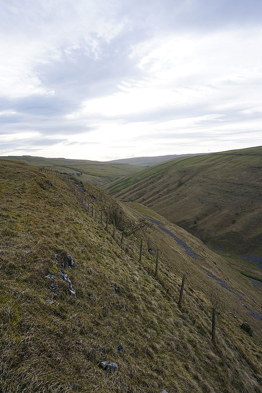
..return to the Monk's Road path back to Arncliffe
Fountains Fell, Darnbrook Fell and West Moor
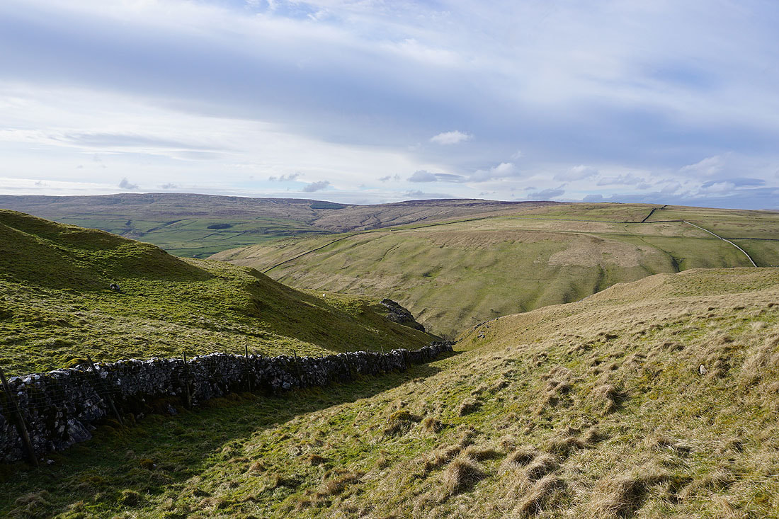
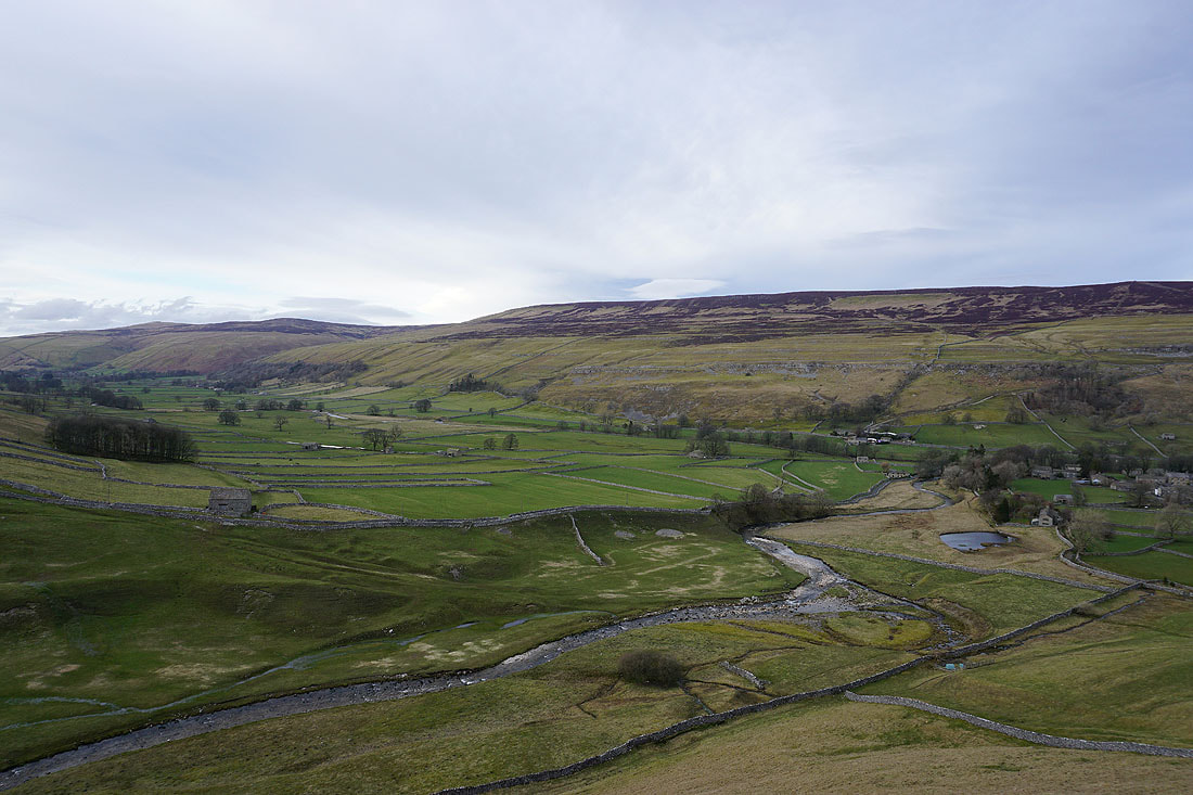
Looking up the valley of Cowside Beck
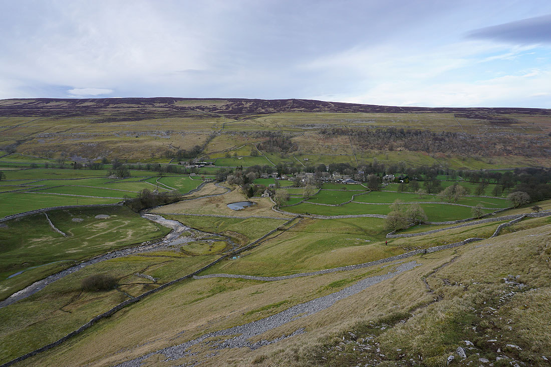
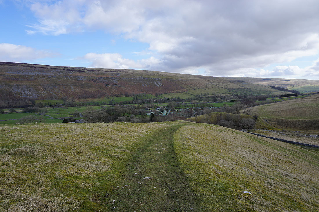
Looking down on Arncliffe and Littondale as I make the descent down to Arncliffe..
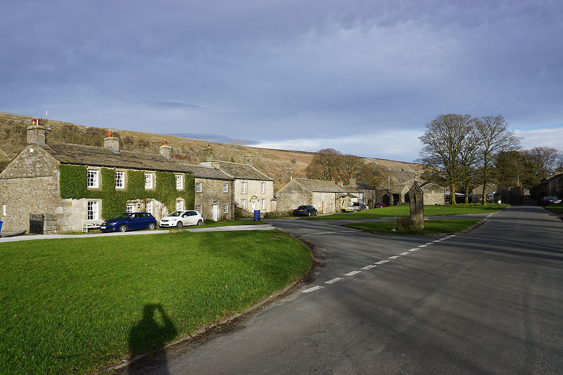
A fine end to the afternoon in Arncliffe