16th May 2015 - A trio of Dales from Monsal Head
Walk Details
Distance walked: 8.6 miles
Total ascent: 1601 ft
OS map used: OL24 - The Peak District, White Peak area
Time taken: 6 hrs
Route description: Monsal Head-Monsal Dale-Lees Bottom-White Lodge-Deep Dale-Wheal Lane-Taddington-Priestcliffe-High Dale-Brushfield-Monsal Head
Most of the time it's pretty easy to come up with a name for a walk. There's a summit, a feature or a valley walked round that stands out. So, after a bit of thought it was the three valleys that I walked through, Monsal Dale, Deep Dale and High Dale that best summed up the day, a trio of Dales. Deep Dale was a great valley to walk up, especially with all the wild flowers in bloom but it was the second half of the walk that was my favourite, down High Dale and the bridleway from Brushfield back to Monsal Head. There were great views from this. The weather was a bit fresh as I set off from Monsal Head and it stayed pretty cool in the breeze all day but with the sunny spells during the afternoon it was a lovely day.
Setting off from Monsal Head I took the path down into the valley and then across the footbridge over the River Wye. I then followed the path under the viaduct and down Monsal Dale to the A6 at Lees Bottom. After crossing the A6 to the White Lodge car park I kept my eyes open for the fingerposts pointing to Deep Dale, it looked a little complicated on the map with a lot crammed into a small area. I then had a great walk up Deep Dale taking in the wild flowers in bloom. At a crossroads of paths I turned right and made my way uphill to the bridleway of Wheal Lane. Past Over Wheal farm this becomes a tarmacked road, which I followed towards Taddington. As I approached Taddington I took the option of leaving the road for a footpath on the left that contours the hillside before dropping down into the village. I left Taddington by walking through the churchyard of St Michael's to reach the A6. After crossing the road I followed a path to Rock Lodge Farm, then a walled path under Priestcliffe and a path across fields to High Dale. At the bottom of High Dale the road up from the A6 to Brushfield is reached, I walked up this through Brushfield Lower Farm and onto the bridleway back to Monsal Head. When I reached the viaduct over the River Wye I just had to climb back up to Monsal Head to finish my walk.
Route map
© Crown copyright. All rights reserved. License number PU 100034184.
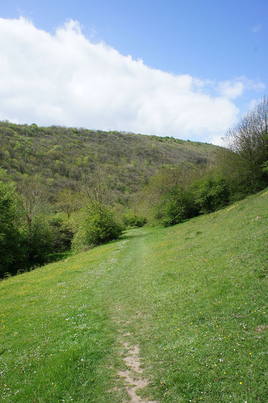
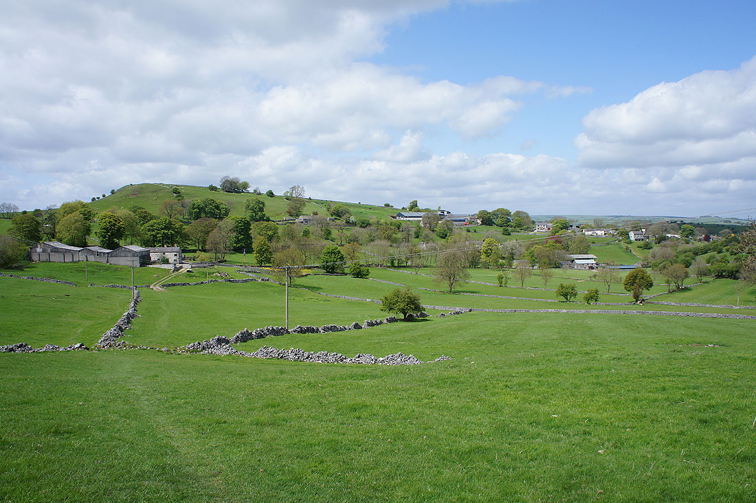
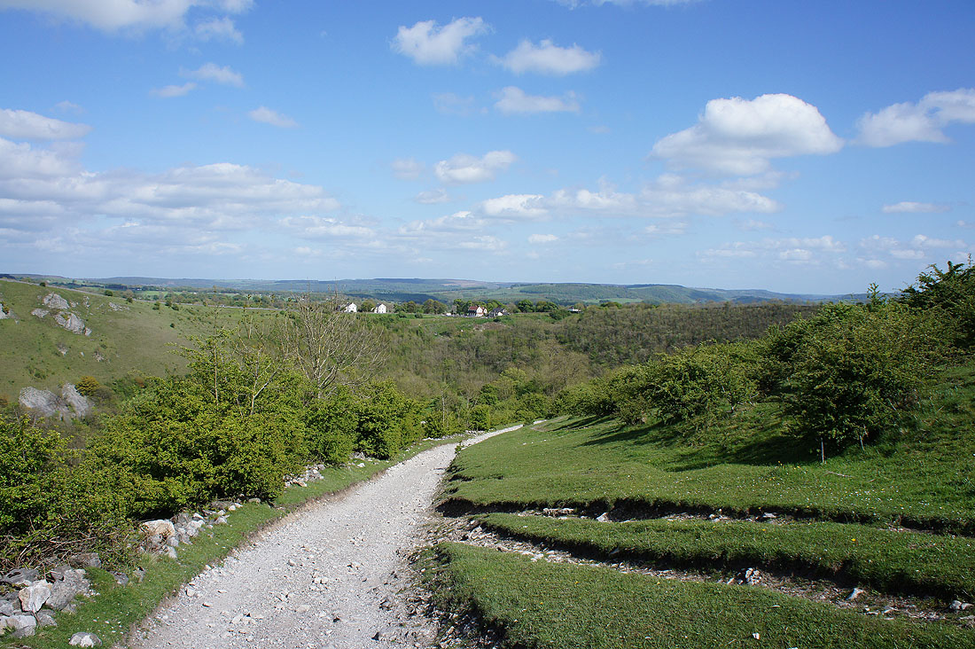
It's a bright fresh morning as I set off from Monsal Head..
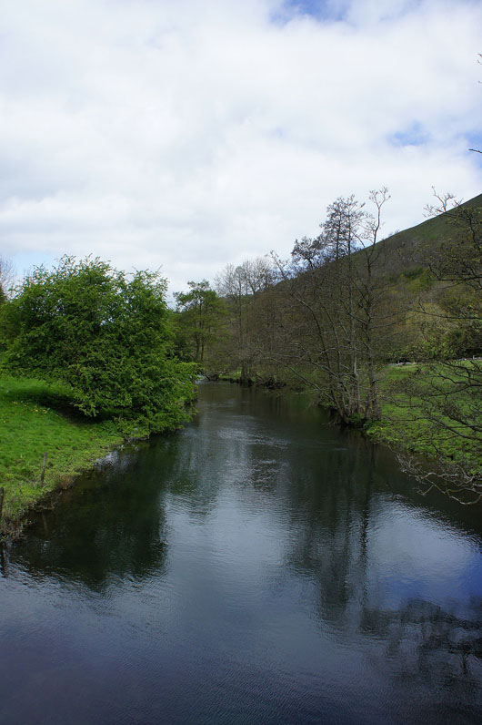
After taking the path down into the valley I cross the footbridge over the River Wye
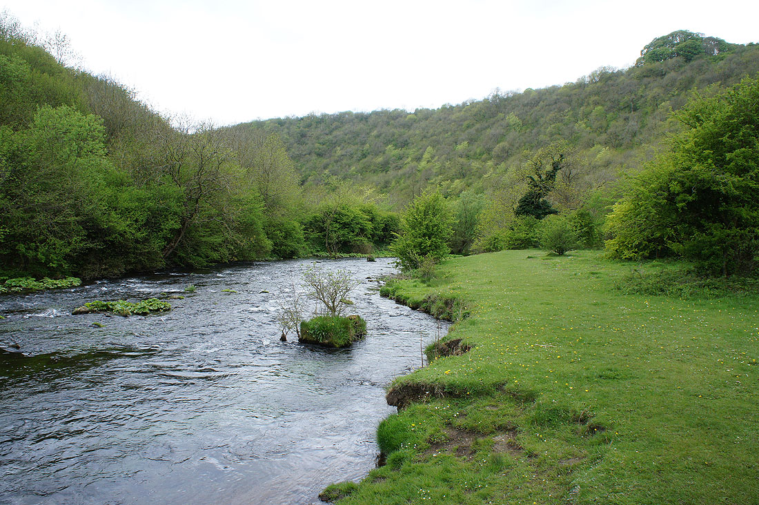
and follow it downstream
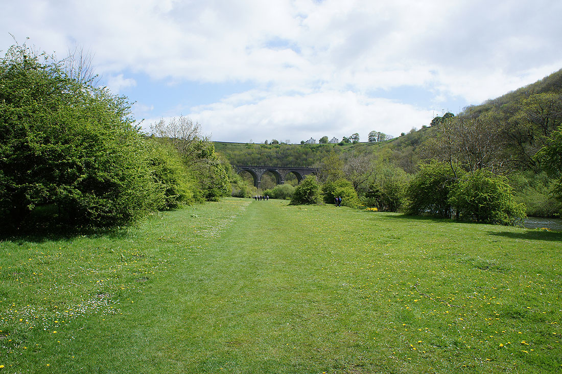
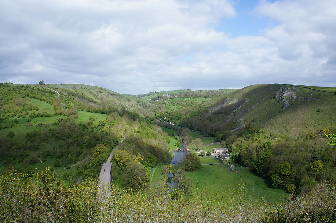
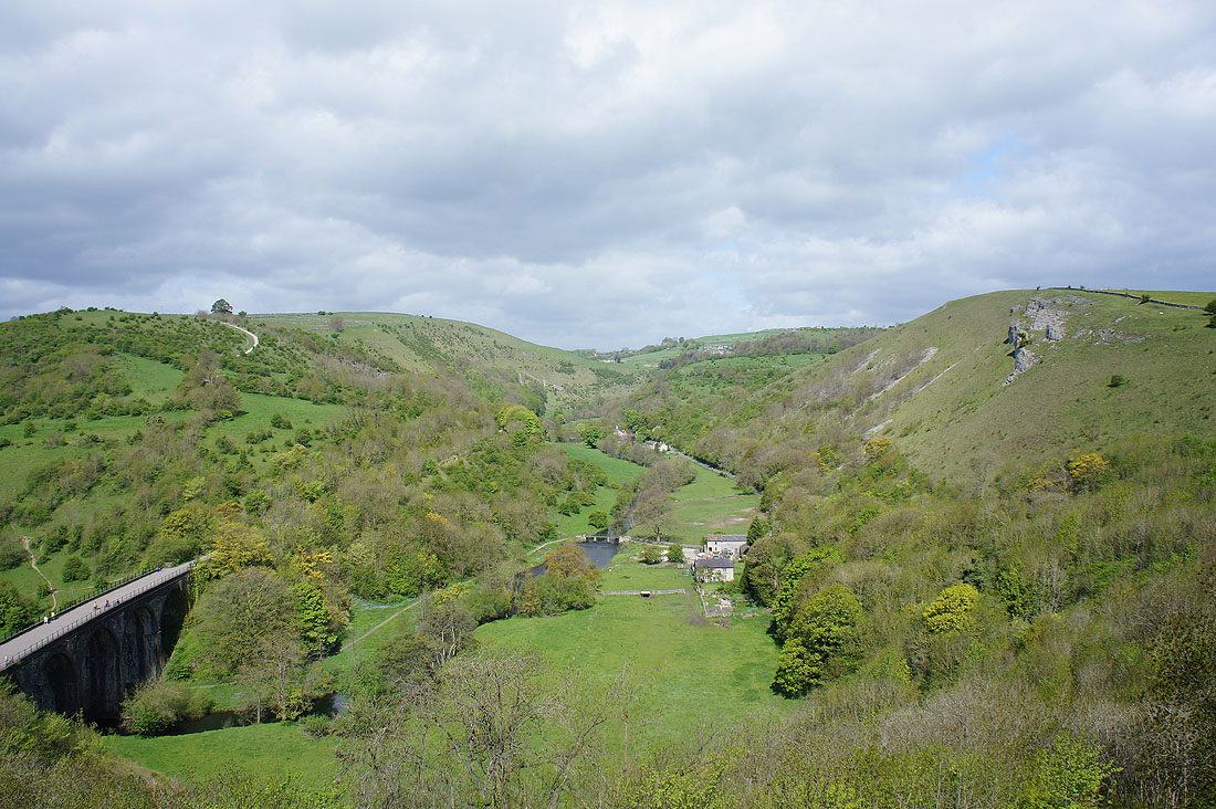
Looking back to the viaduct
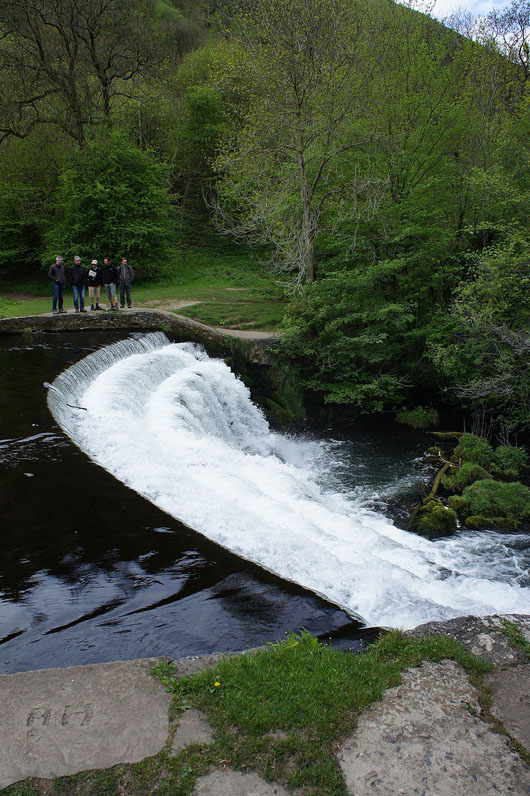
I soon pass this weir on the Wye
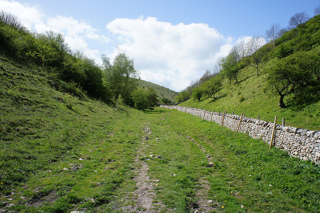
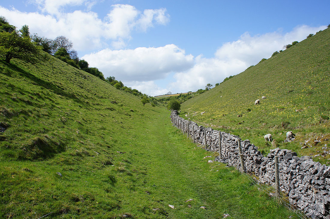
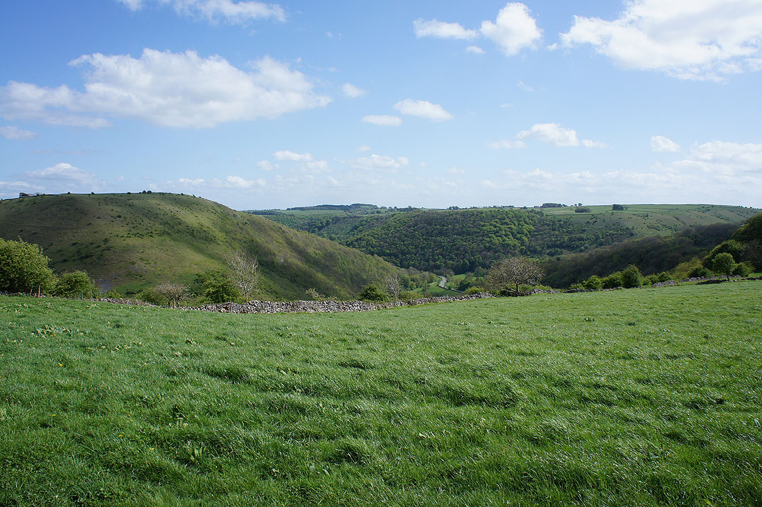
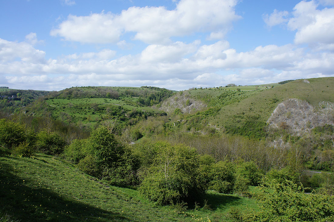
and then the path passes in and out of woodland down Monsal Dale to Lees Bottom
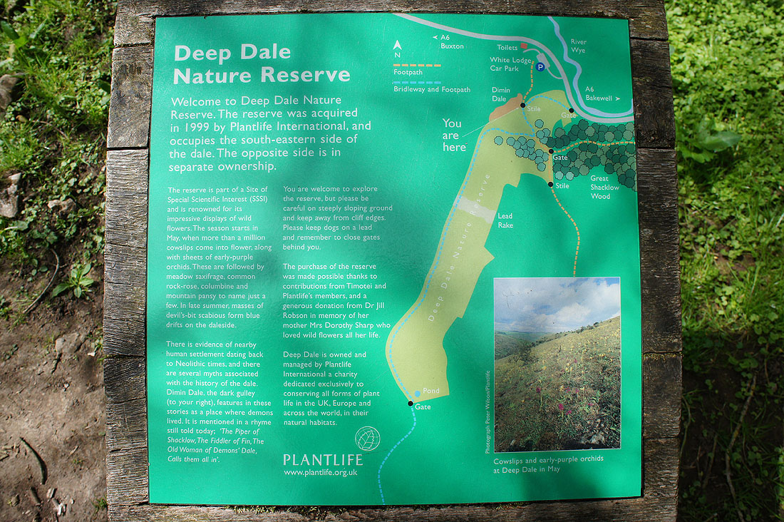
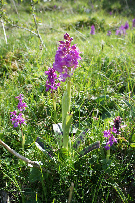
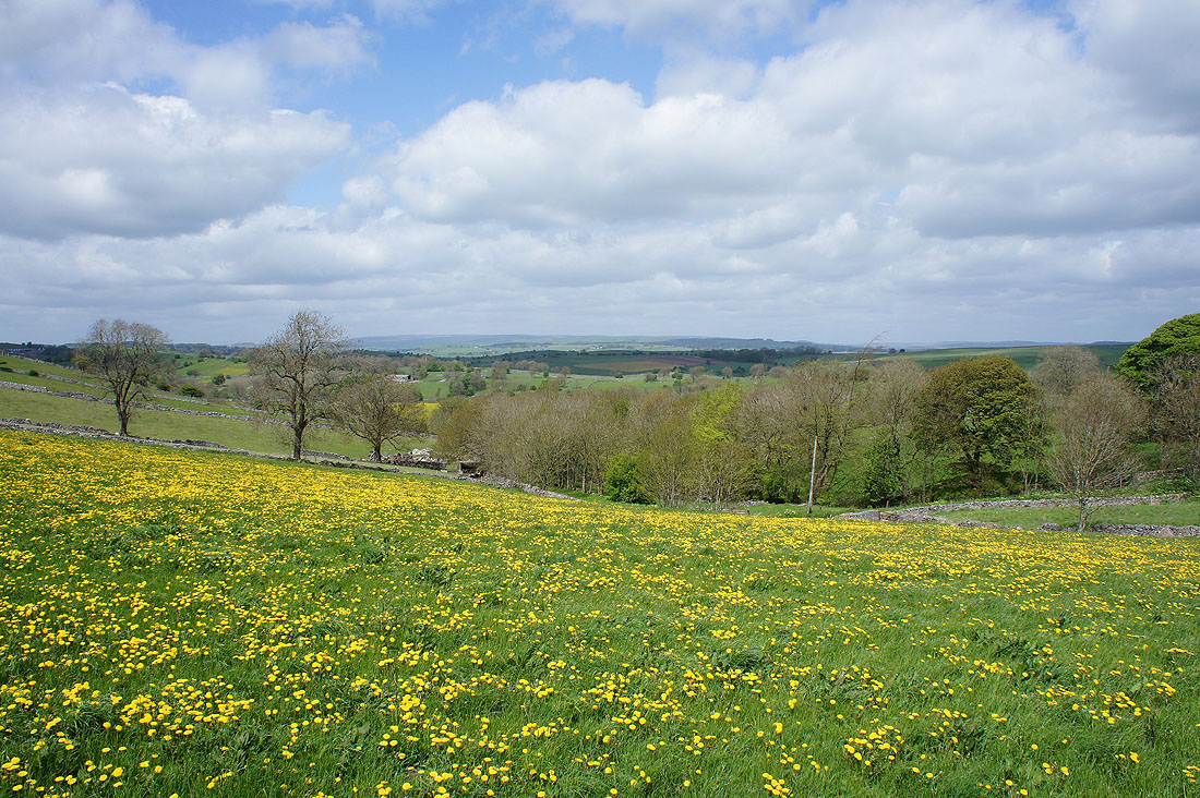
After crossing the A6 I'm heading up into Deep Dale, a nature reserve, a SSSI and a great place to see wild flowers
|
|
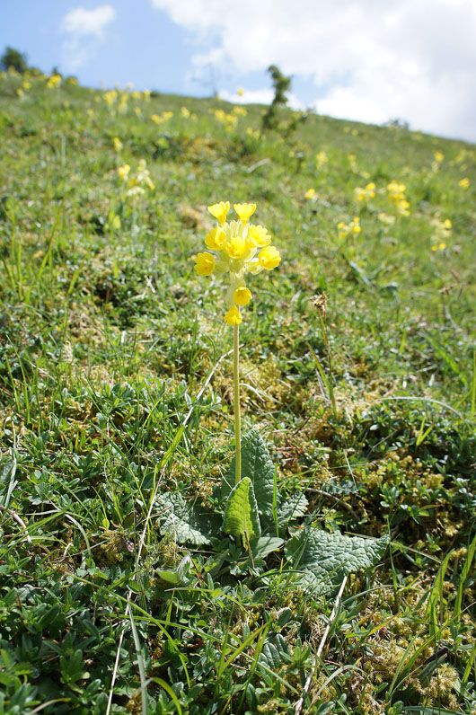
At this time of year it's early-purple orchids and cowslips that are in flower
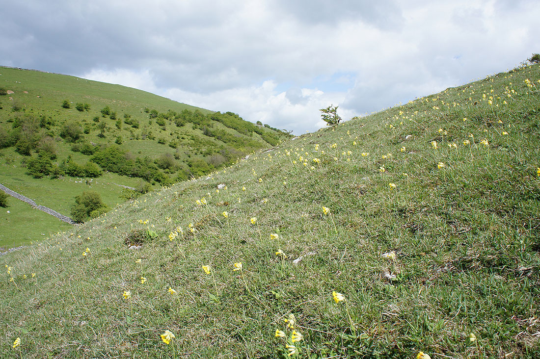
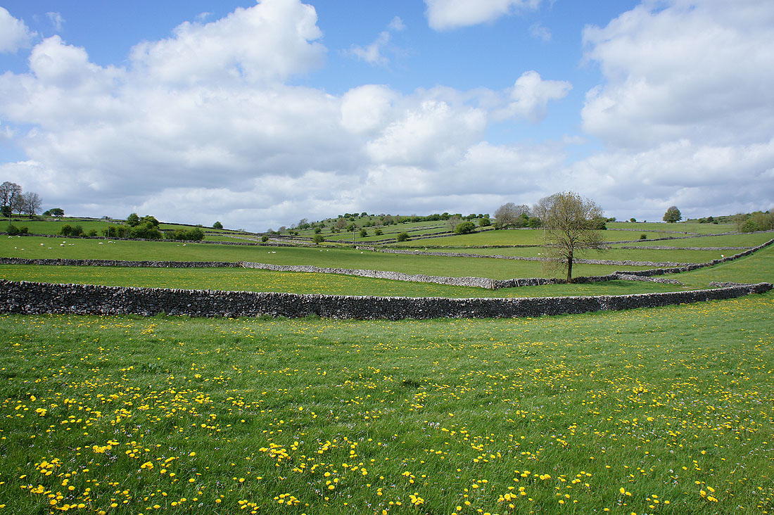
There are lots to see on the hillside on the southeastern side of the dale..
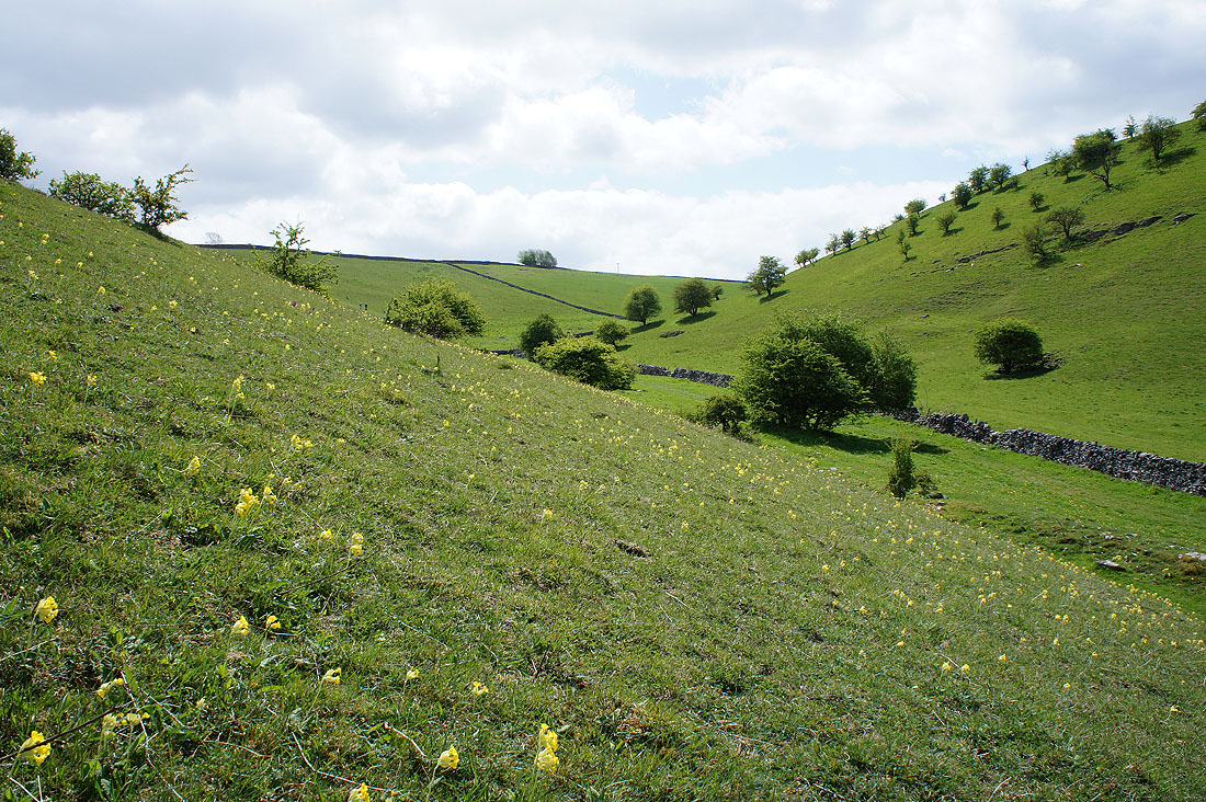
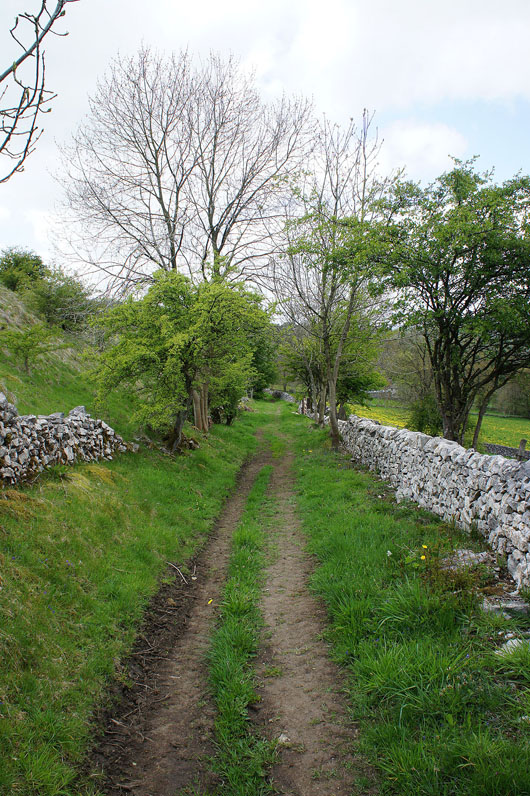
Looking down Deep Dale as I take the footpath..
..up to Wheal Lane
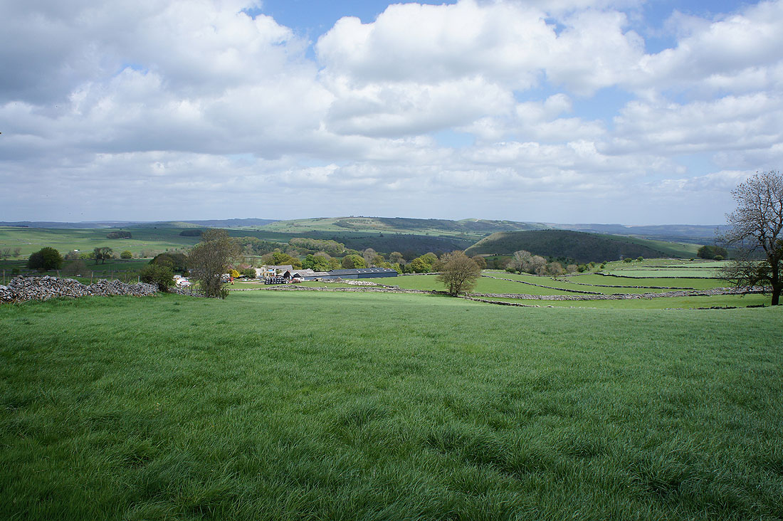
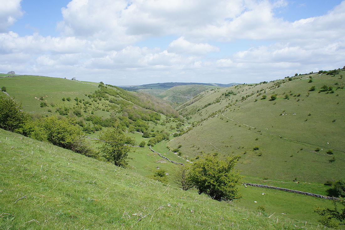
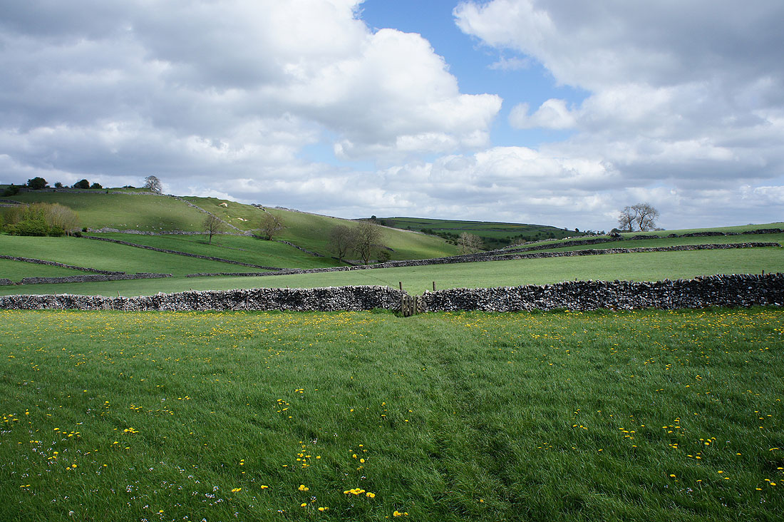
A distant Longstone Moor with the hill of Fin Cop on the right
A lovely view of the moors around Taddington Dale
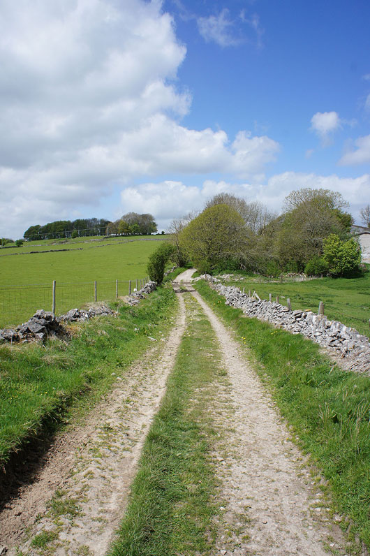
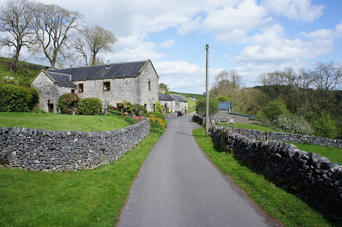
Heading down to Taddington
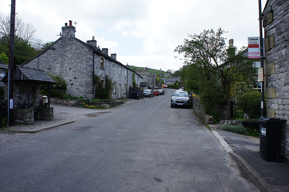
Making my way through a very quiet Taddington
After crossing the A6 I'm heading for the hamlet of Priestcliffe
Crossing fields for High Dale
It's a lovely afternoon for a walk in the White Peak
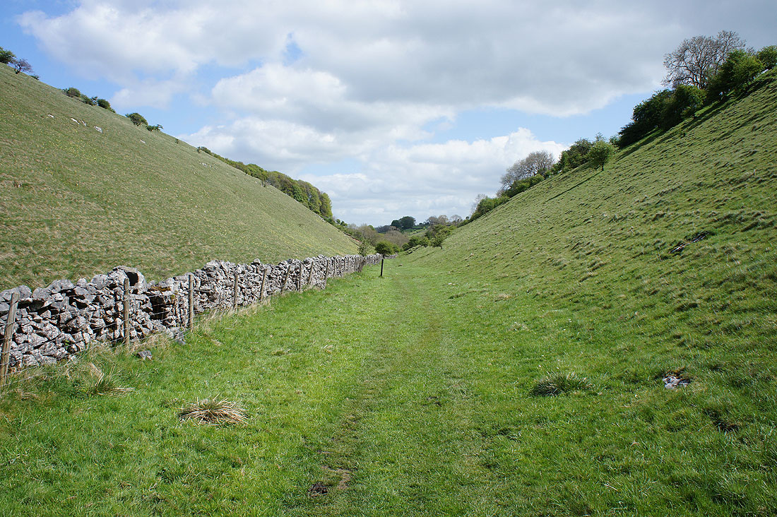
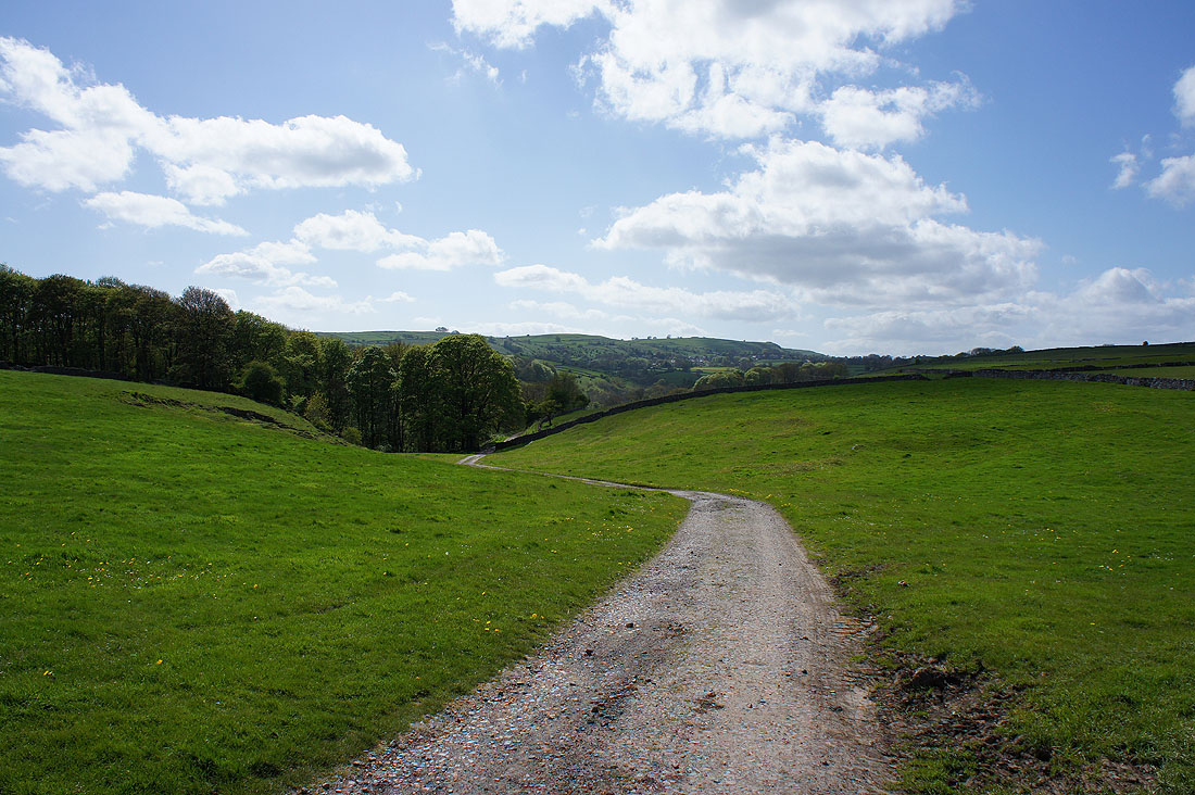
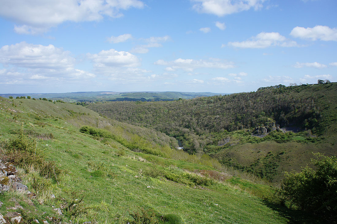
Making my way down the valley of High Dale
and as I look back note all the cowslips in flower on the right
At the bottom of High Dale I reach Brushfield Lower Farm and the bridleway which will take me back to Monsal Head
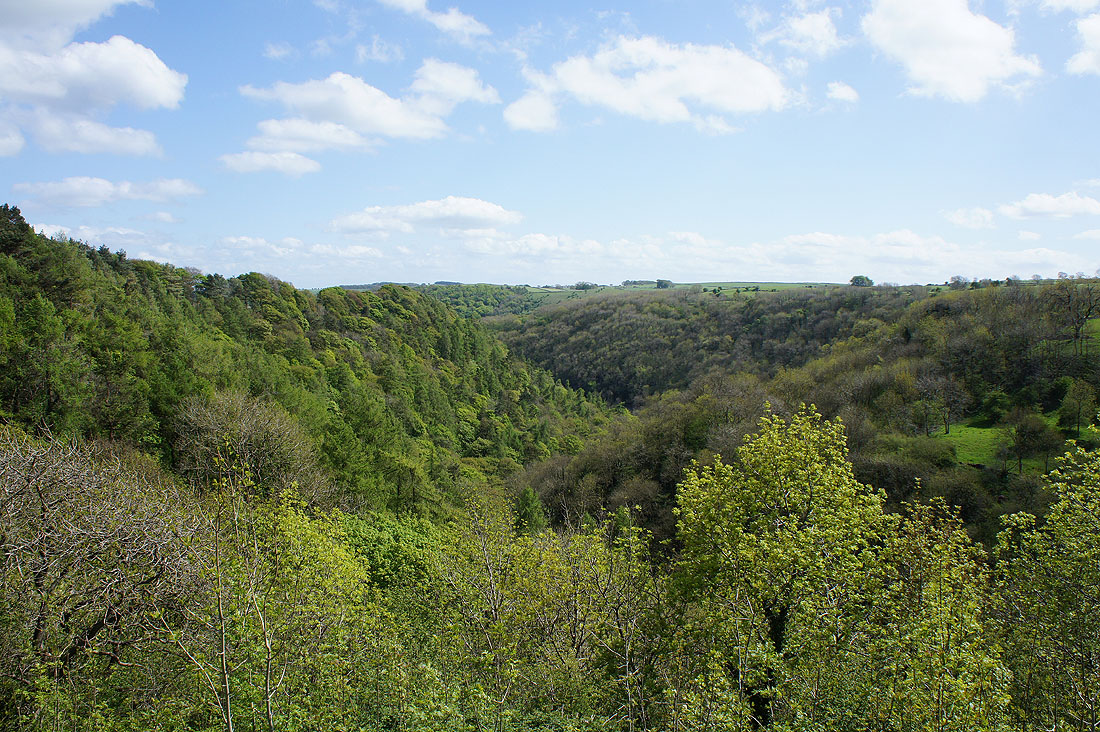
Taddington Dale. I can hear but not see the A6 below.
Looking back towards Taddington on the distant hillside
Fin Cop and Great Shacklow Wood
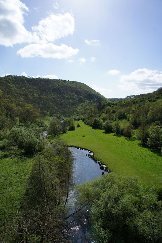
Monsal Dale below. I can see the weir on the River Wye that I passed earlier in the day.
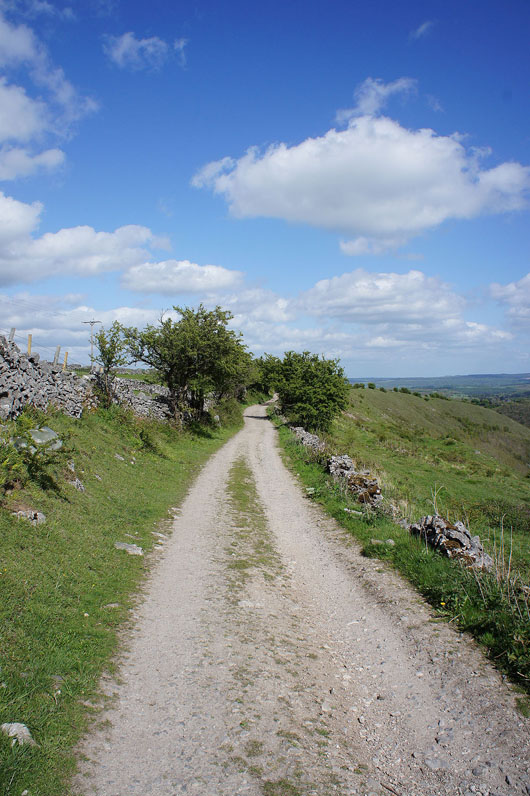
This is a great path to follow with fantastic views
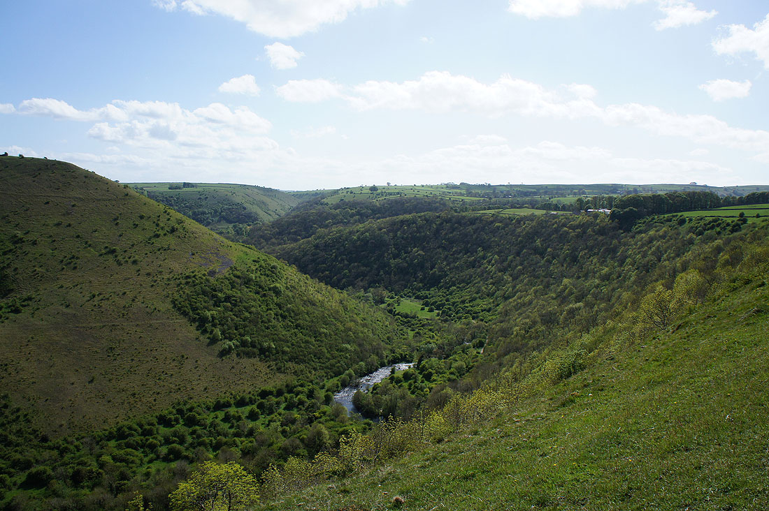
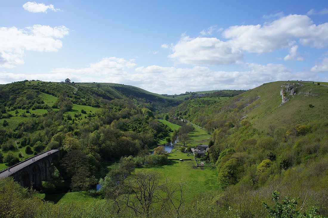
Another shot of Monsal Dale. This time looking down the valley with Fin Cop on the left.
The white buildings of Monsal Head come into view as the path switches to the Upperdale side of the hill
Looking across Upperdale to Hay Dale
Fin Cop and the River Wye as I cross the viaduct
A fantastic view from Monsal Head as I finish my walk