16th May 2020 - Knarrs Hill to Noyna Hill
Walk Details
Distance walked: 8.3 miles
Total ascent: 1203 ft
OS map used: OL21 - South Pennines
Time taken: 4 hrs
Route description: Foulridge-Foulridge Upper Reservoir-Castle Road-Cockhill Lane-Skipton Old Road-Hill Lane-Emmott Lane-Flass Farm-Sykes Beck-High Laith Beck-Pendle Way-Pennine Bridleway-Knarrs Hill-Pennine Bridleway-Warley Wise Lane-Black Lane Ends-Piked Edge-Harwes Farm-Great Edge-Cob Lane-Noyna End Farm-Noyna Hill-Skipton Old Road-Foulridge
I may not have appreciated the countryside on my doorstep that I have access to, until now. The past couple of months have certainly made me appreciate it, and for the time being I will continue to do so. The lockdown restrictions may have eased a little, but for now I'm sticking with doing walks from my front door. After a bit of time poring over my local OS map I worked out a route that took me across the moors to the east of Foulridge, while at the same time avoiding farms and other dwellings where at all possible. With the extensive network of footpaths and bridleways in my neighbourhood the possibilities are endless. I was in two minds about whether to bother writing this walk up or not, but I put a rucksack on my back and set off with a map, so it qualifies for an entry. It was a fine late spring afternoon, with sunny spells and a strong and cool breeze.
From where I live in Foulridge I made my way up to the New Inn (closed) on Skipton Old Road. I then took the footpath opposite, up and across the hillside above to Broach Flat Farm and then along a track to Foulridge Upper Reservoir and Castle Road. I then turned left and walked along Castle Road and Cockhill Lane to Skipton Old Road, where I turned right and after a short walk turned left onto Hill Lane. I then walked along Hill Lane past the Alma Inn (closed) and then down Emmott Lane towards Laneshaw Bridge. I soon reached the public footpath on the left (I didn't take the one down the driveway to Flass Farm) that took me down to a footbridge over Sykes Beck and then up to the footbridge over High Laith Beck, where I picked up the Pendle Way. I followed the Pendle Way uphill past Monkroyd Boarding Kennels and towards Knarrs Farm, and then joined the Pennine Bridleway for the final "climb" to the summit of Knarrs Hill. Leaving Knarrs Hill I kept on the Pennine Bridleway until I reached Warley Wise Lane. I then walked west along Warley Wise Lane to Black Lane Ends and Black Lane Ends Tavern (closed). I took the public footpath through the pub car park and up onto the hill of Piked Edge and then across fields to Harwes Farm, where I took the footpath southwest onto Great Edge. I then followed the path west down Great Edge and across Moss Houses Beck and up to Cob Lane. A path from Cob Lane at Noyna End Farm took me up onto Noyna Hill, and the path west across its top and down to Skipton Old Road was followed. A short walk back to my home in Foulridge was left.
Route map
© Crown copyright. All rights reserved. License number PU 100034184.
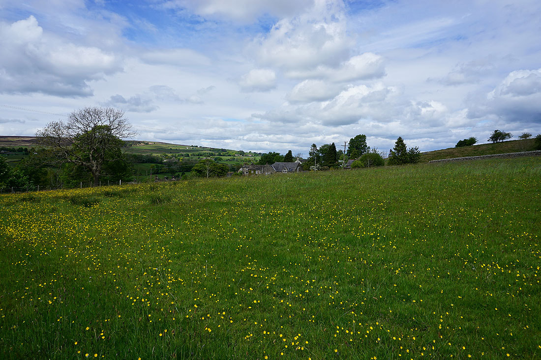
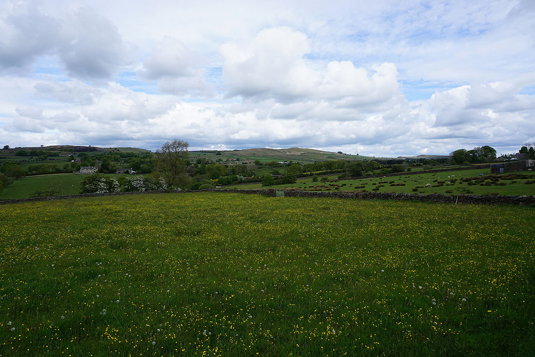
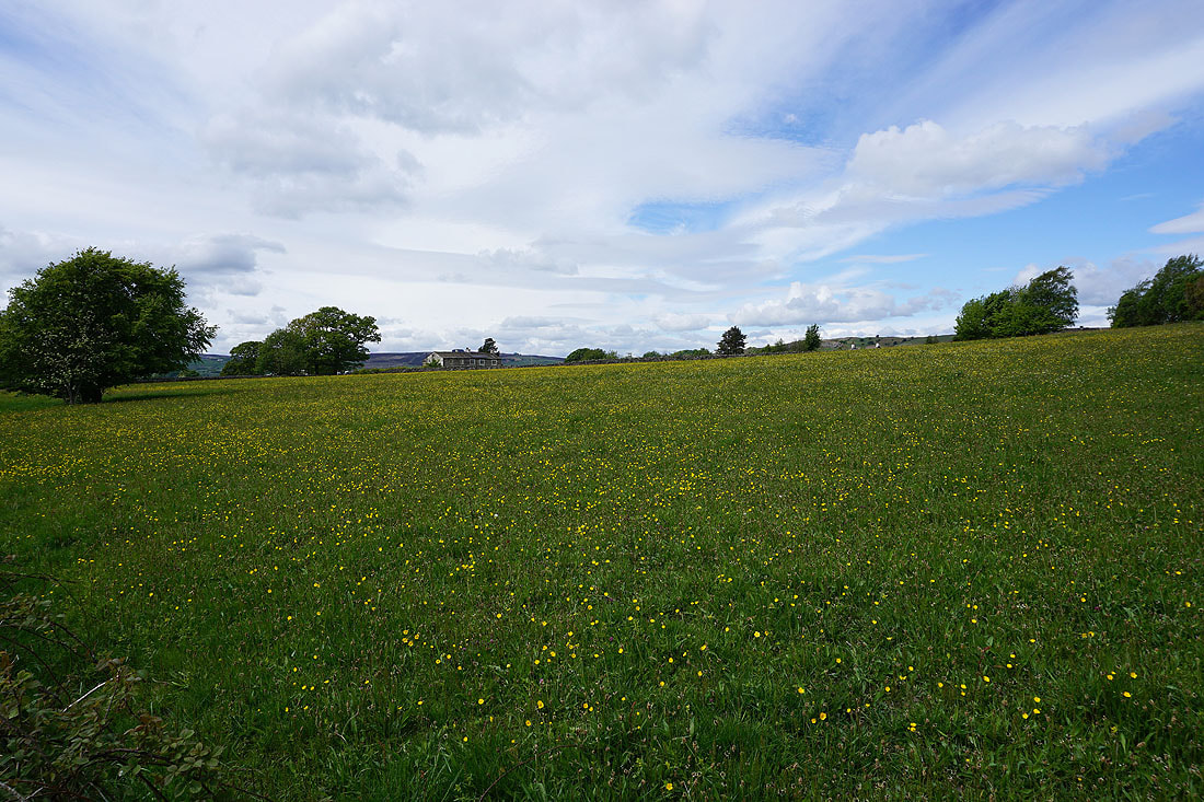
Buttercup filled fields as I leave Foulridge..

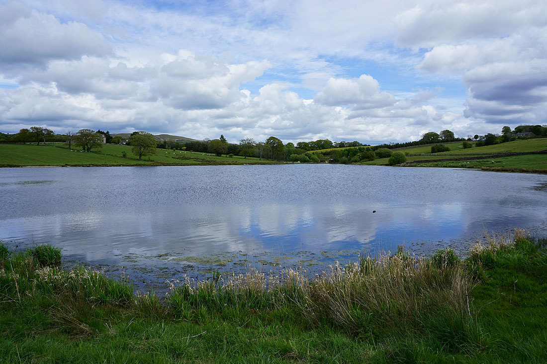
Foulridge Upper Reservoir..
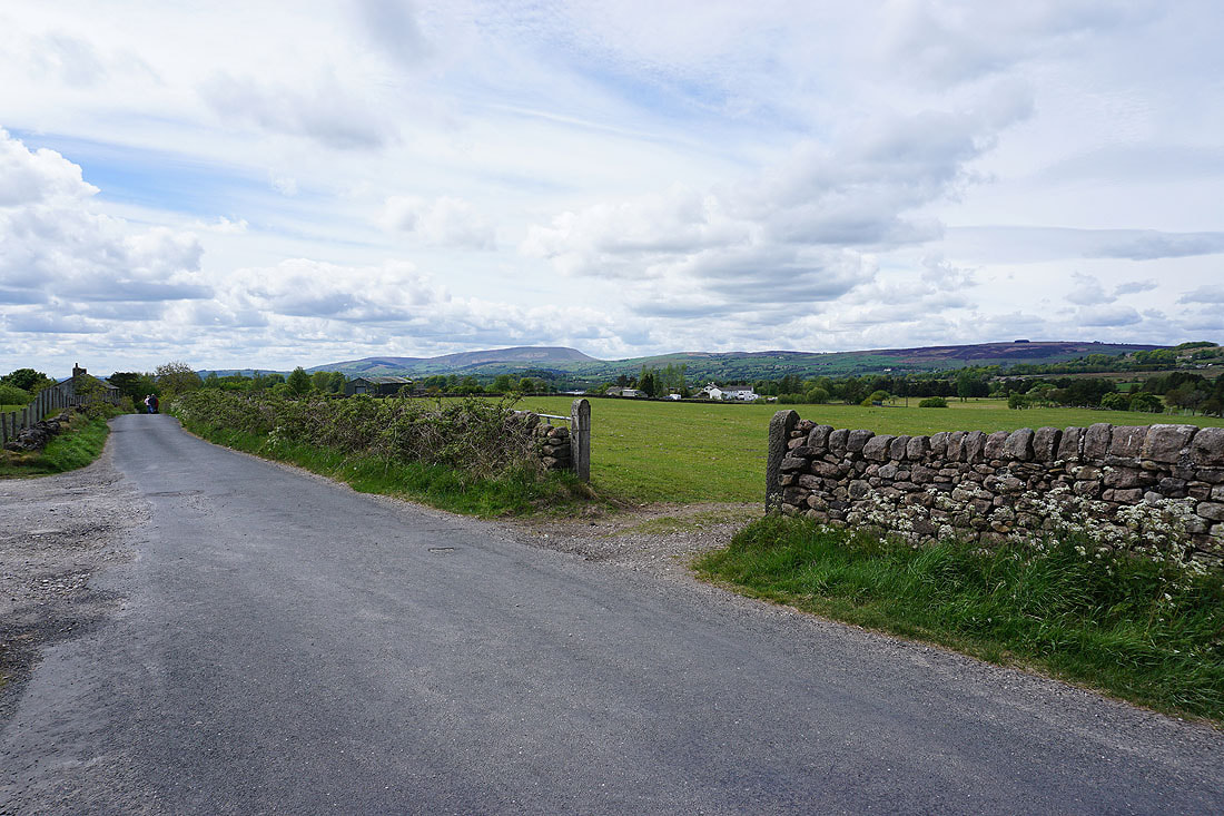
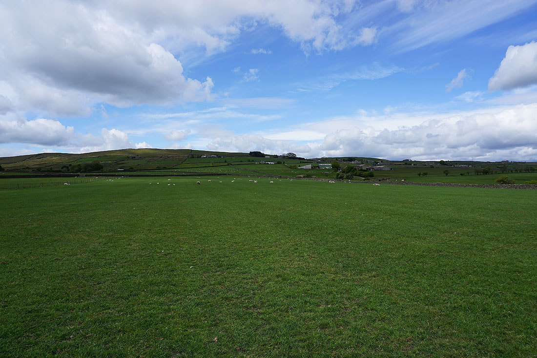
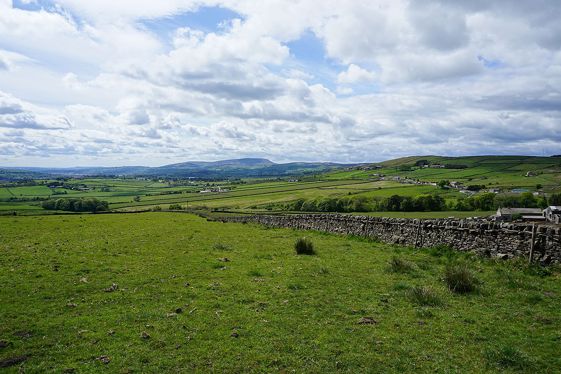
Great Edge in the distance from Castle Road
and a distant Pendle Hill and Foulridge Upper Reservoir
Pendle Hill and White Moor in the distance from the corner of Castle Road and Cockhill Lane
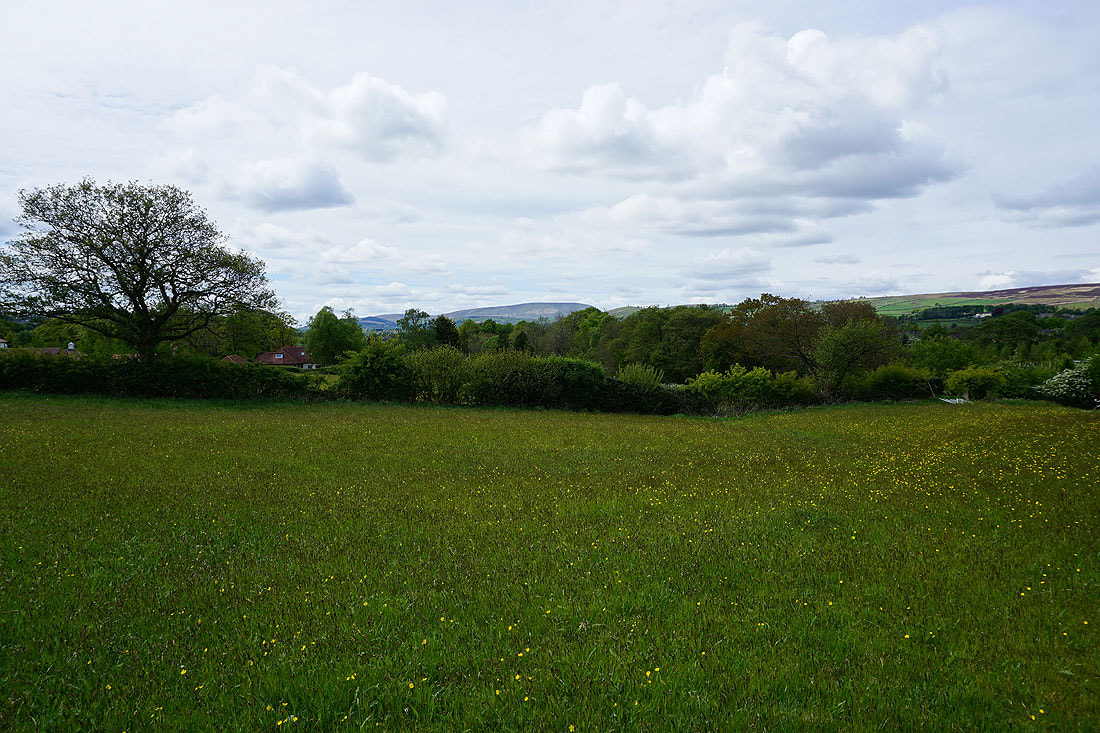
Buttercup filled fields as I walk along Hill Lane..
Pendle Hill from Hill Lane
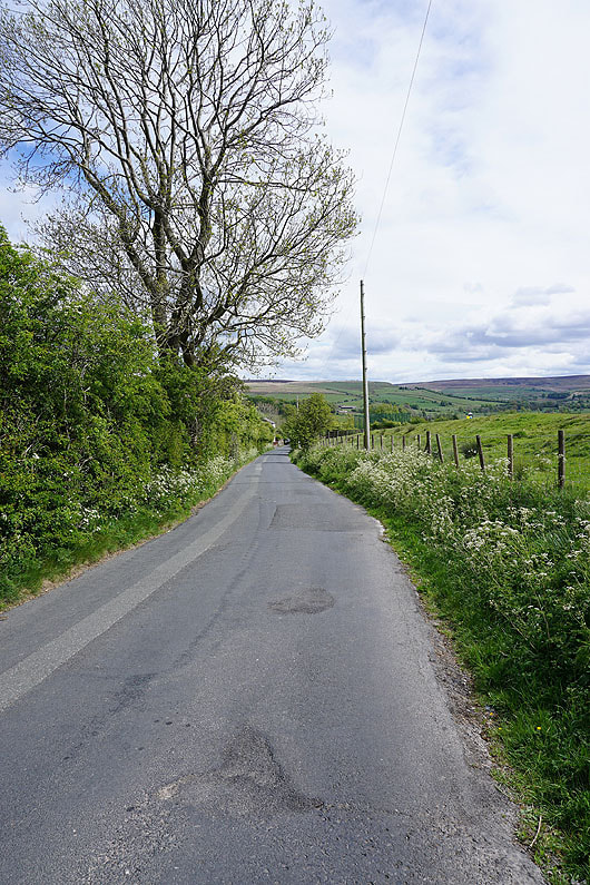
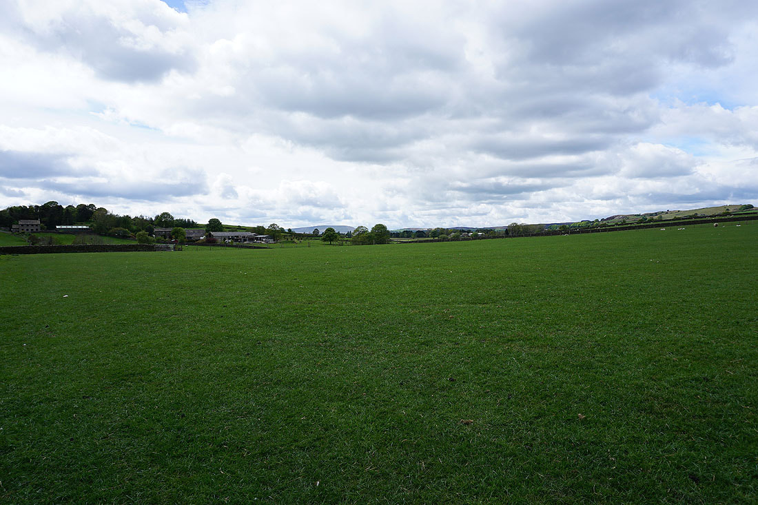
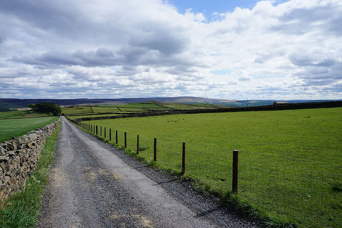
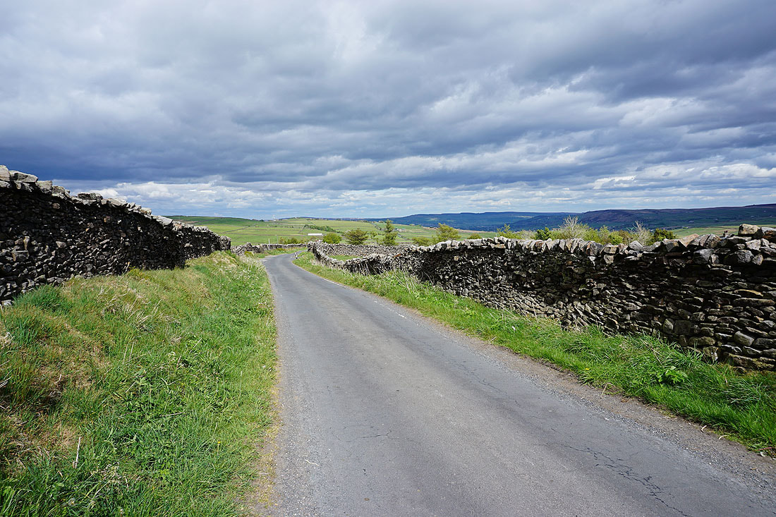
Emmott Lane down to Laneshaw Bridge. I wasn't on it for long though, as I left it for a footpath on the left.
On the footpath down to Sykes Beck with the slopes of Knarrs Hill ahead
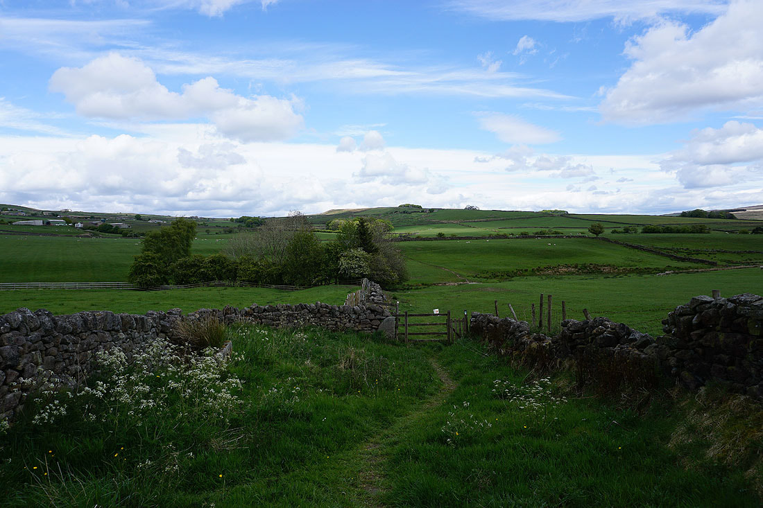
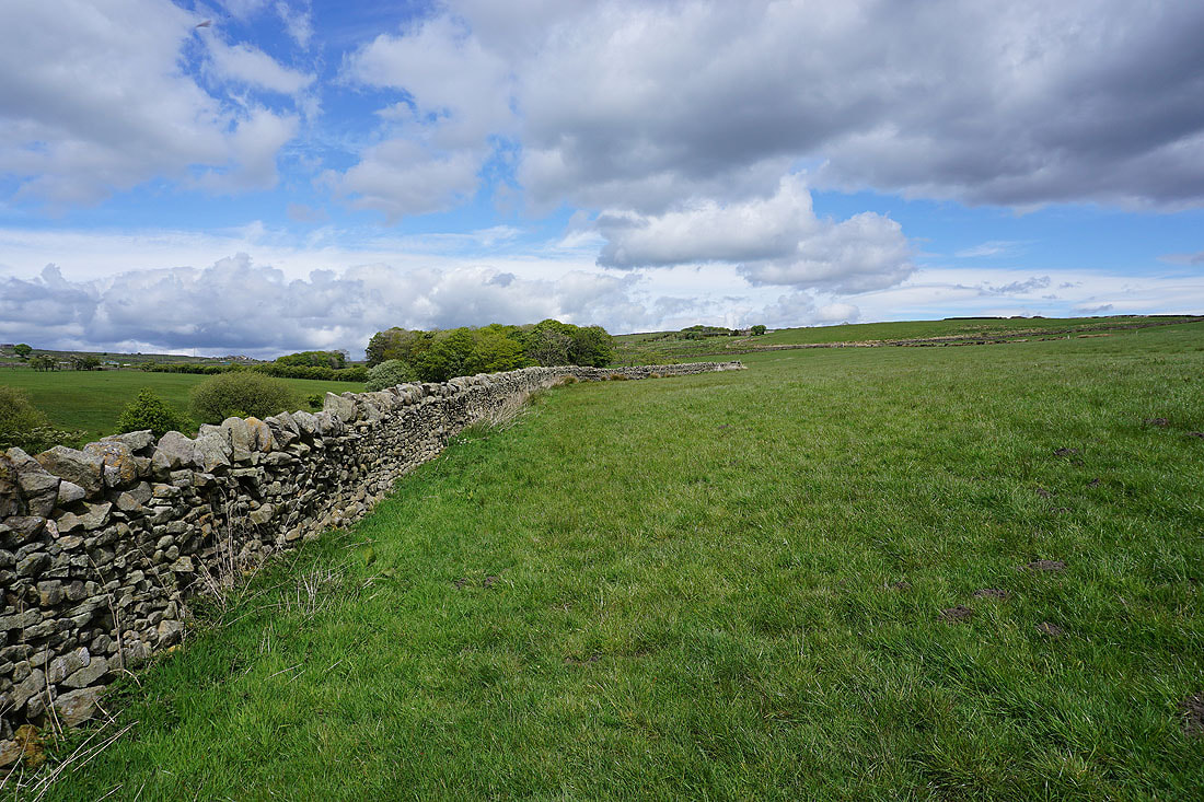
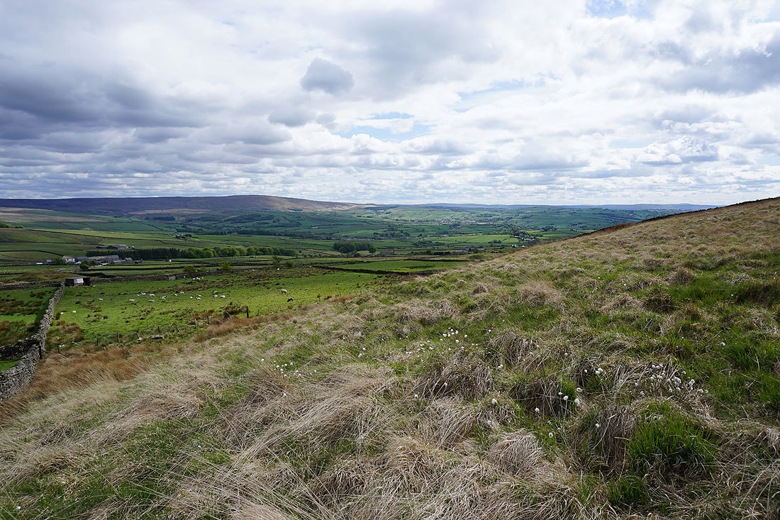
Crossing pastures below Great Edge..
..with Pendle Hill still in view if I turn around
After crossing High Laith Beck I join the Pendle Way and the view becomes more expansive
There's Pendle Hill behind me..
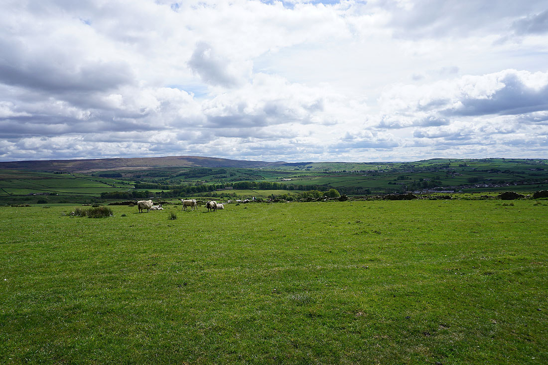
..and Boulsworth Hill and the Forest of Trawden to my right
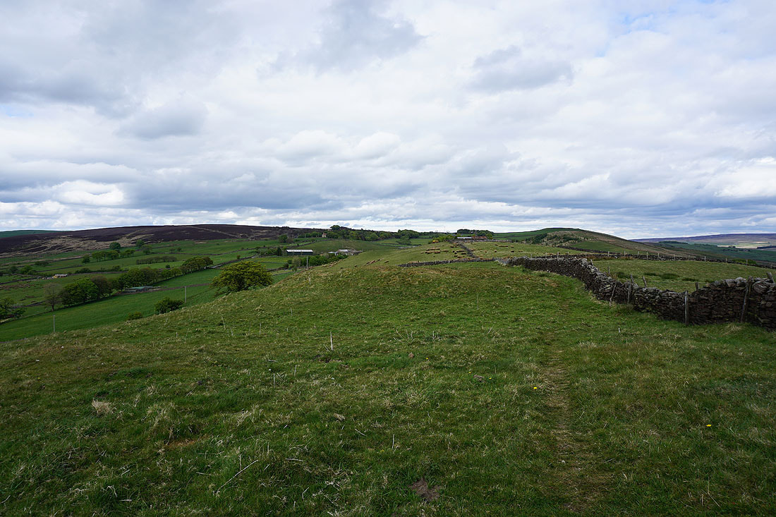
Nearing the top of Knarrs Hill and I join the Pennine Bridleway
There's a great view of Pendle Hill to the west from up here
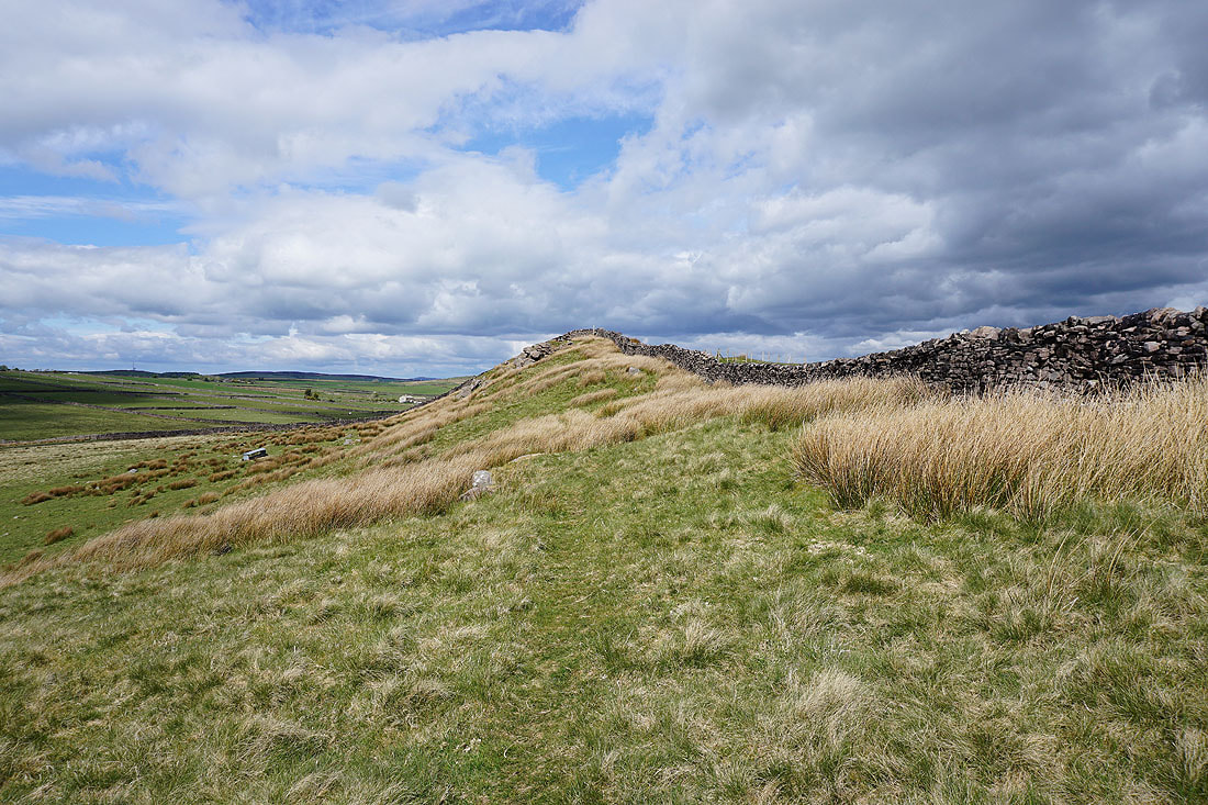
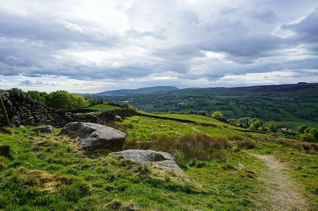
A modest rise and a few gritstone outcrops mark the top of Knarrs Hill
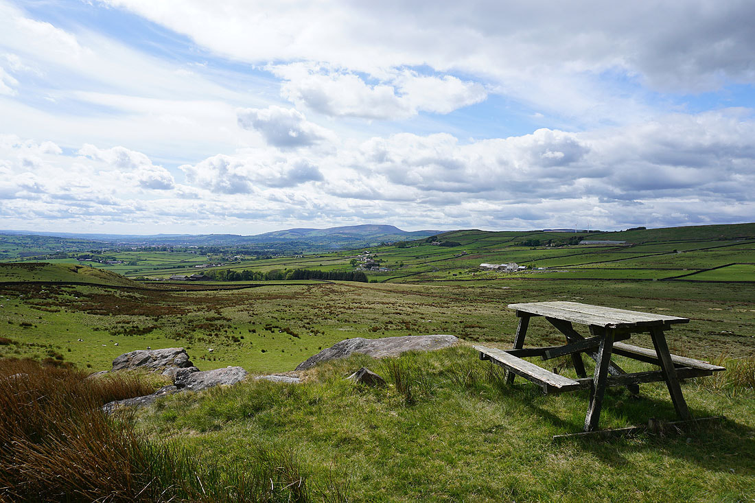
Pendle Hill from the top of Knarrs Hill. It's a bit cool and breezy for a picnic.
Boulsworth Hill and the Forest of Trawden in the distance
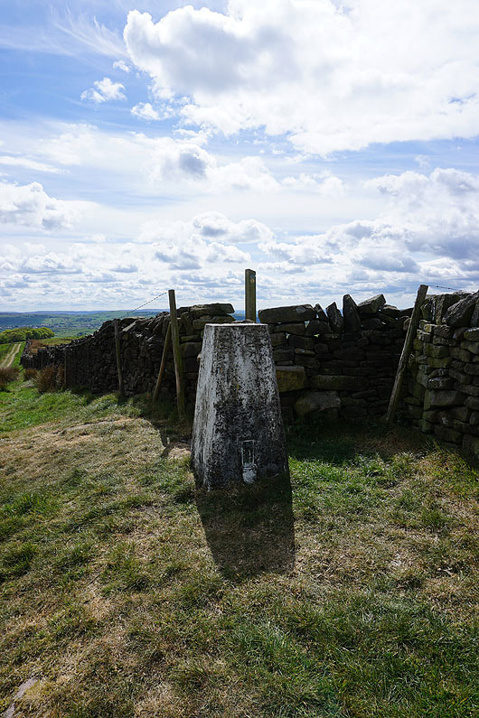
The trig point on Knarrs Hill
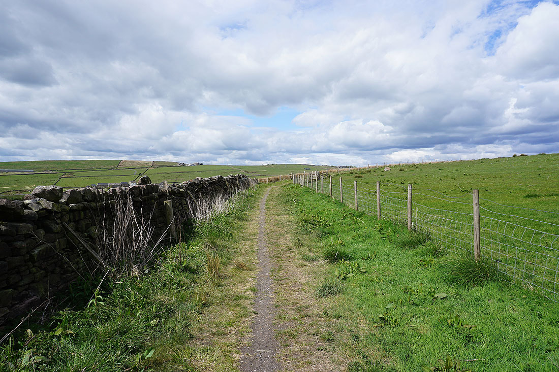
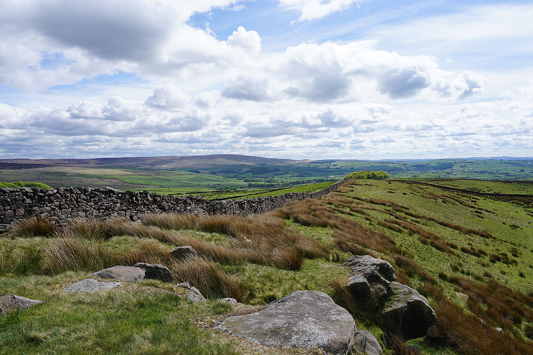
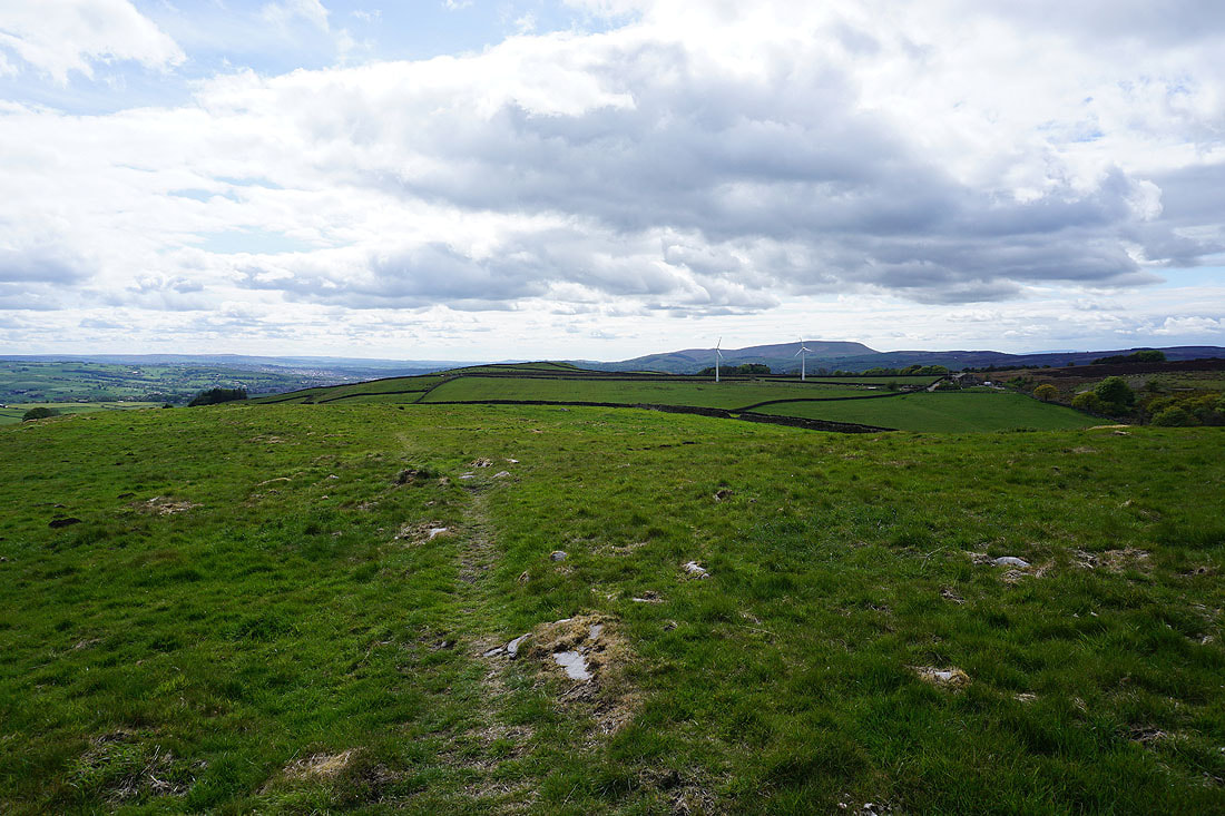
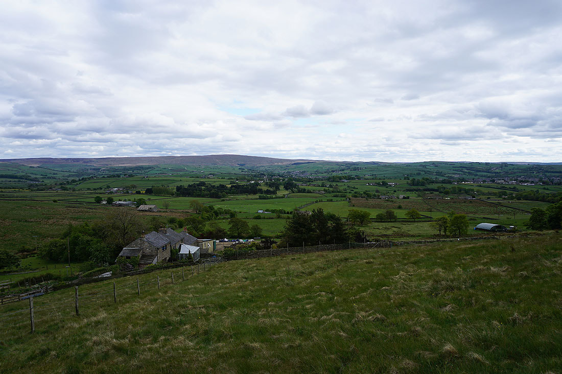
I leave Knarrs Hill on the Pennine Bridleway with views of the moorland around Airedale ahead of me...
Looking back to Knarrs Hill with Boulsworth Hill beyond
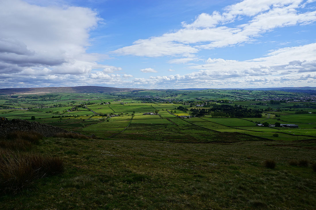
Hawshaw Hill
A look back as I walk along Warley Wise Lane to Black Lane Ends
Boulsworth Hill and the Forest of Trawden in the distance as I head up onto Piked Edge
Heading west across Piked Edge
I can make out Ingleborough in the distance through the gap in the hills between Kelbrook Moor and Bleara Moor
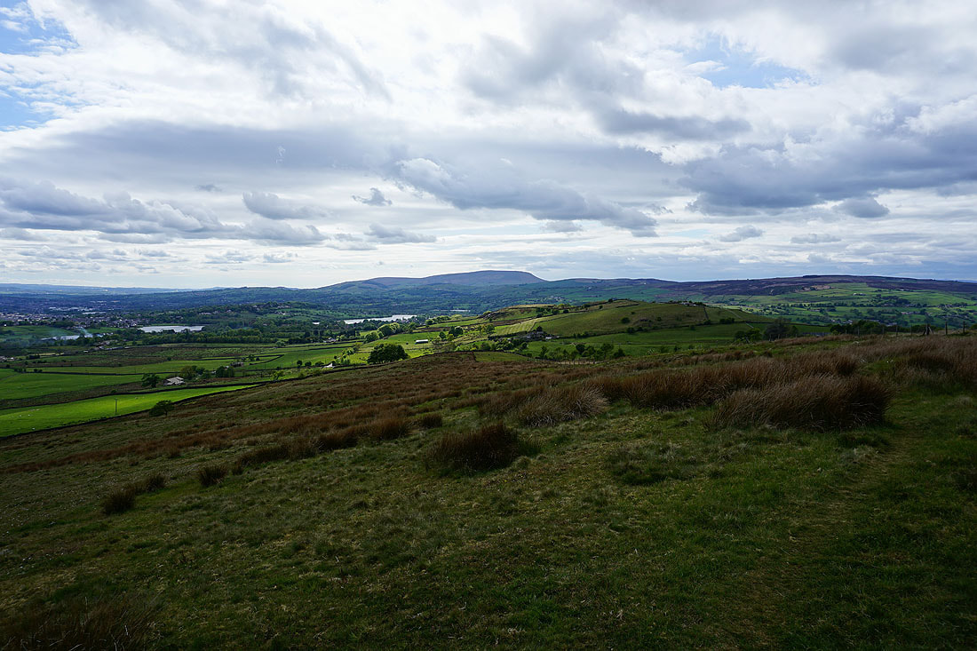
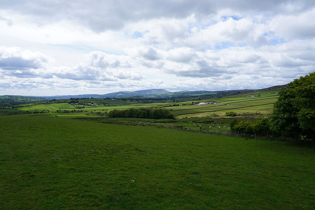
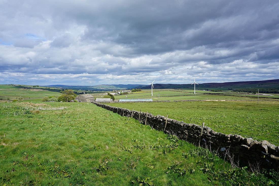
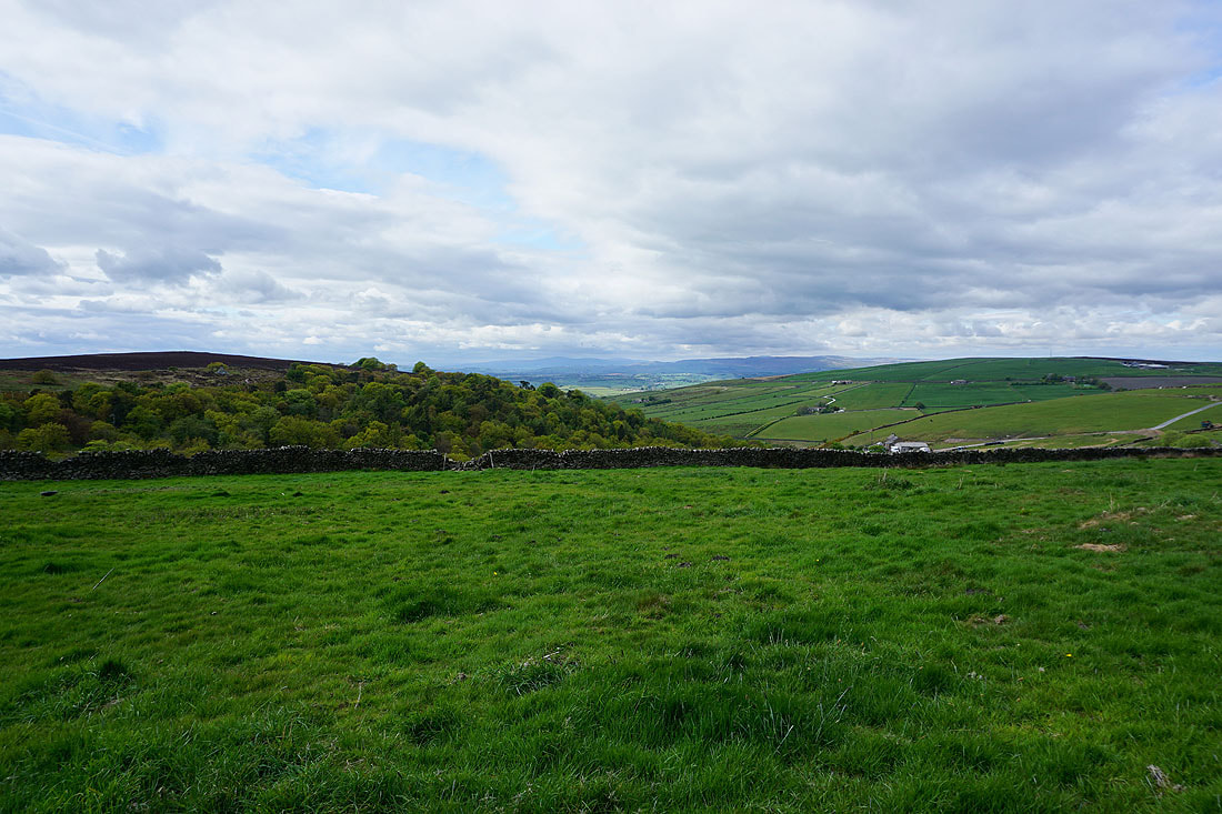
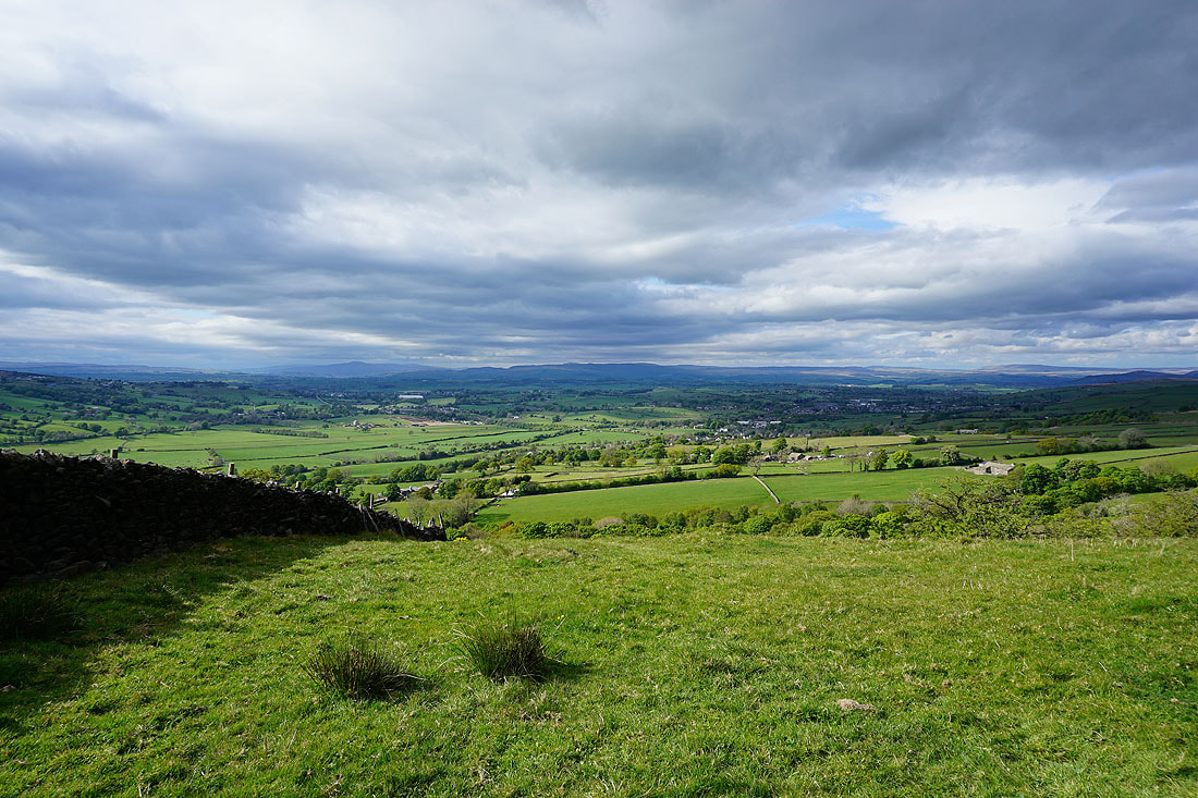
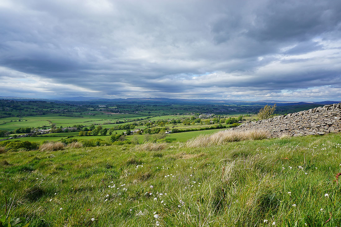
Foulridge Upper and Lower Reservoirs, Pendle Hill and Noyna Hill from Great Edge
Boulsworth Hill and the Forest of Trawden to the south
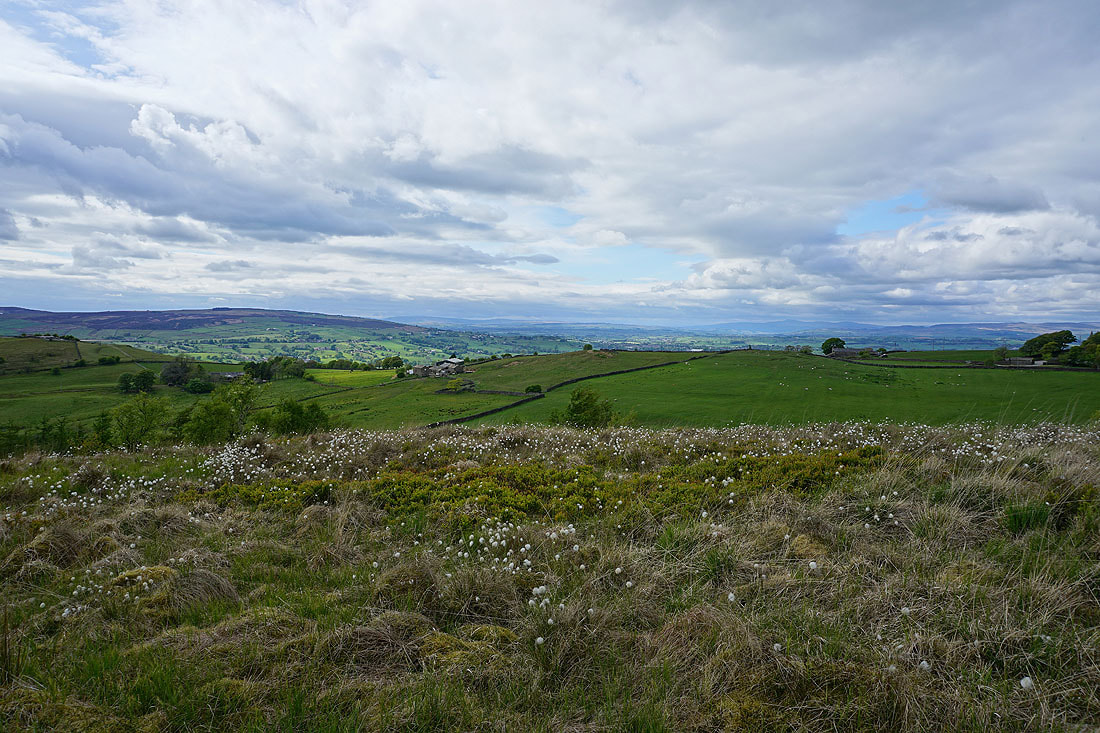
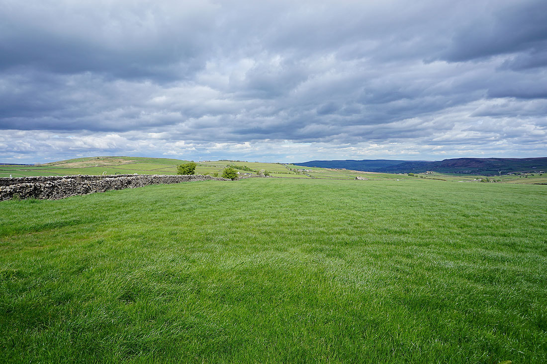
Plenty of cotton grass in flower on Great Edge, in this view north to a distant Forest of Bowland and Ingleborough
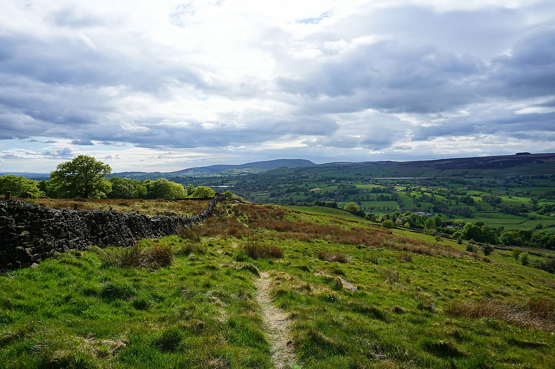
Boulsworth Hill as I head up onto Noyna Hill
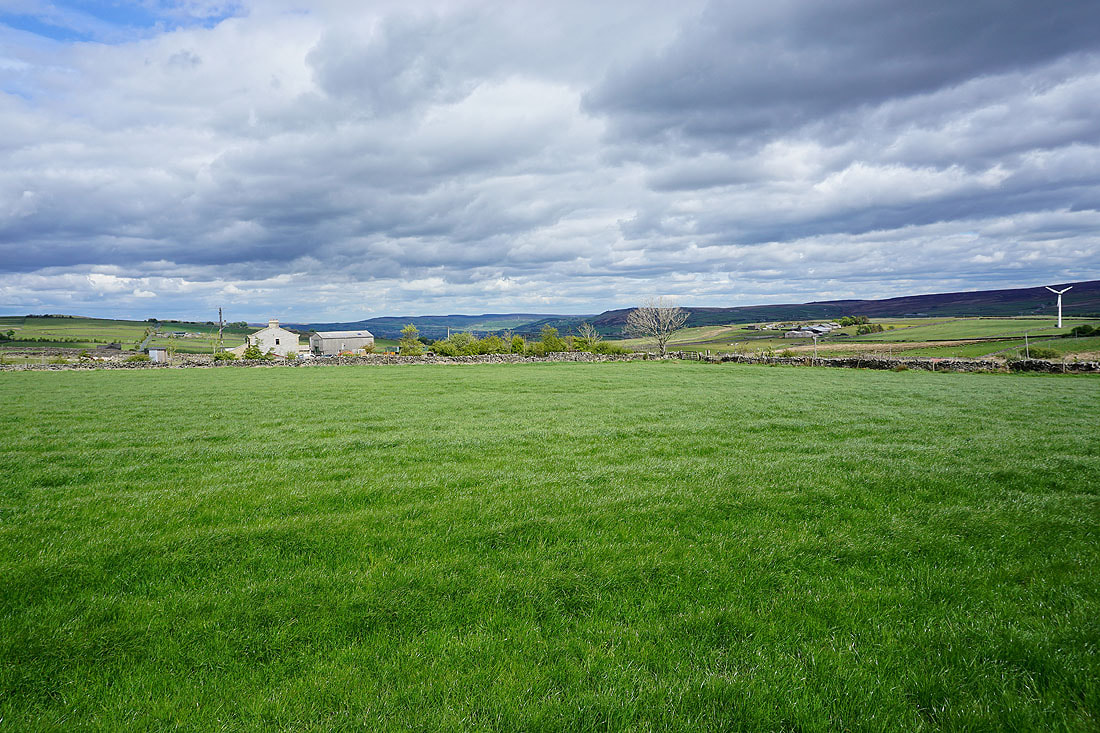
Kelbrook Moor and Great Edge from Noyna Hill
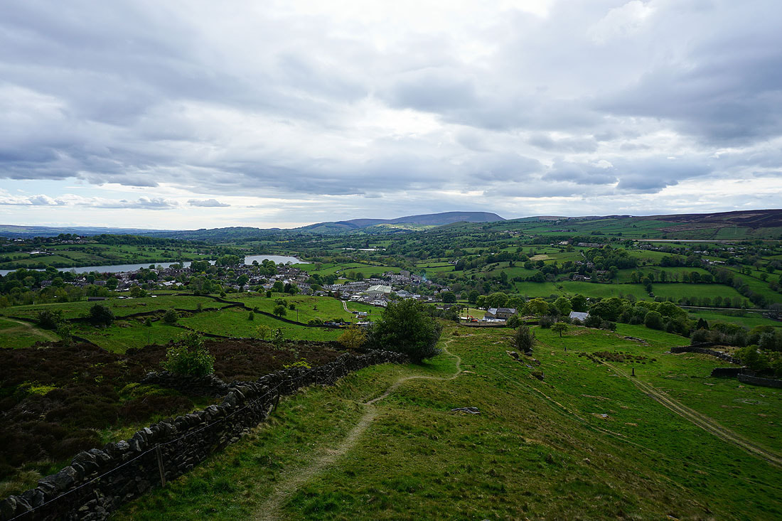
After a bit of a wait for the sun to come out, which was worth it, I'm treated to the great view to the north from Noyna Hill, with Ingleborough on the left and Great Whernside on the right..
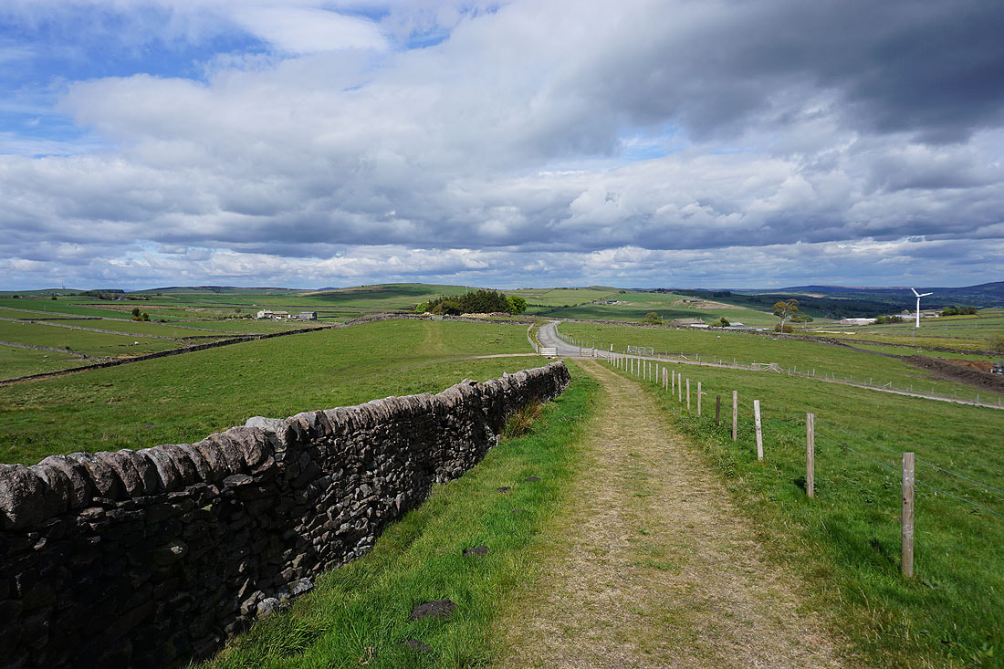
Pendle Hill dominates the scene as I follow the footpath west off Noyna Hill down to Foulridge...
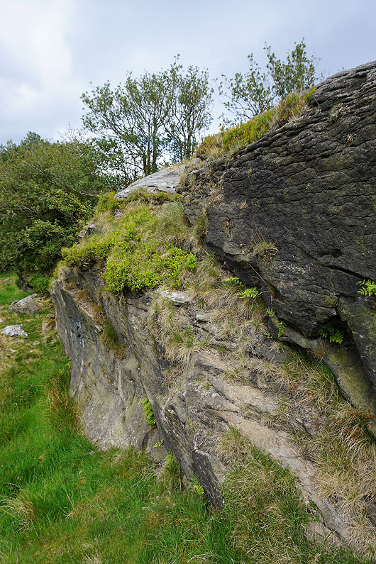
Exposed gritstone
A last shot looking across Foulridge from Skipton Old Road