16th November 2008 - A Deepdale Horseshoe
Walk Details
Distance walked: 8.9 miles
Total ascent: 3282 ft
OS map used: OL5 - The English Lakes, North-eastern area
Time taken: 6 hrs
Route description: Patterdale-A592-Deepdale Bridge-Hartsop above How-Hart Crag-Fairfield-Cofa Pike-St. Sunday Crag-Thornhow End-Patterdale
After setting out from Patterdale I walked down the road to Deepdale Bridge and then walked along the ridge of Hartsop-above-How to Hart Crag. From Hart Crag I walked across to Fairfield and then St. Sunday Crag before making my way back down to Patterdale.
Route map

© Crown copyright. All rights reserved. License number PU 100034184.
Place Fell on the other side of Patterdale as I start the climb of the ridge of Hartsop-above-How
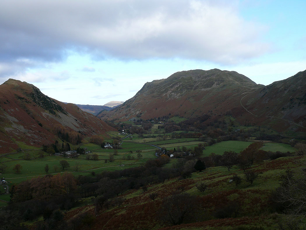
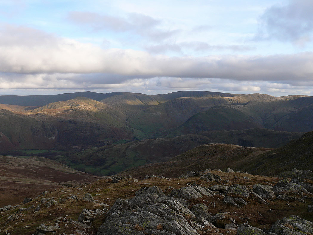
Fairfield at the head of Deepdale
The fells above Hartsop. Gray Crag and Hartsop Dodd.
Arnison Crag, Patterdale and Place Fell
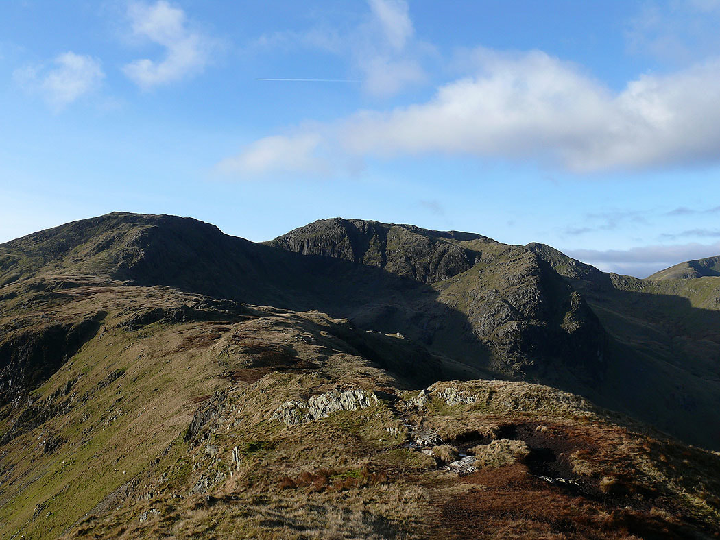
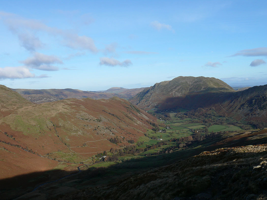
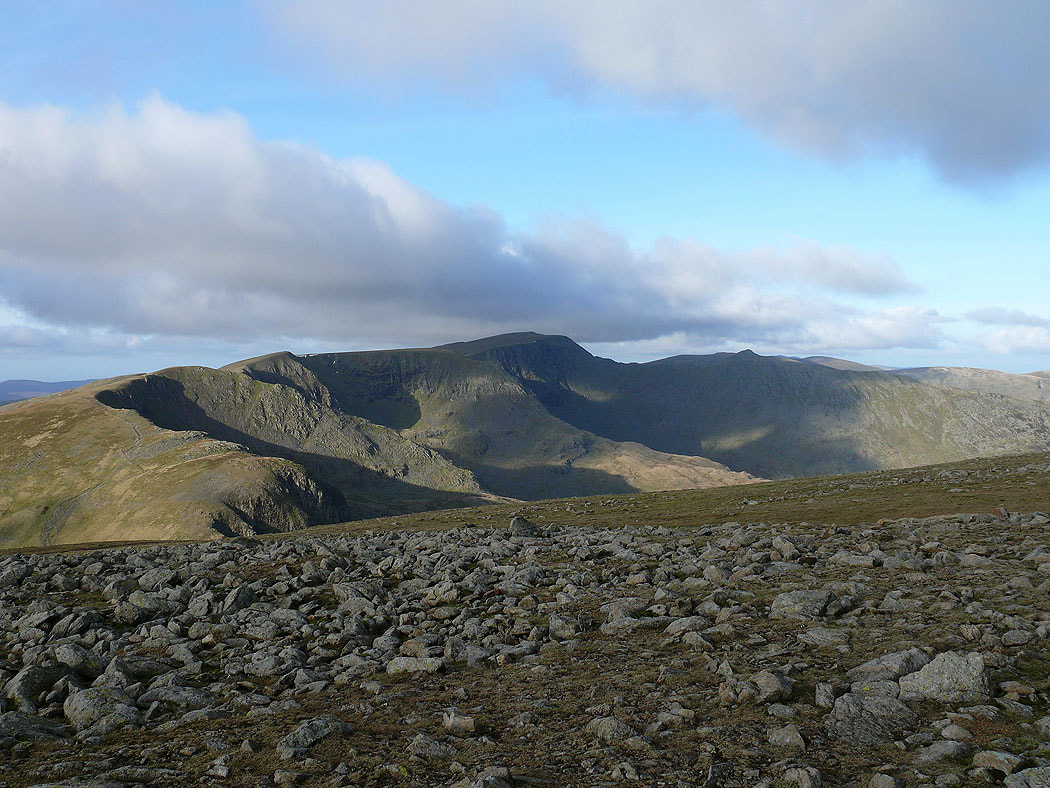
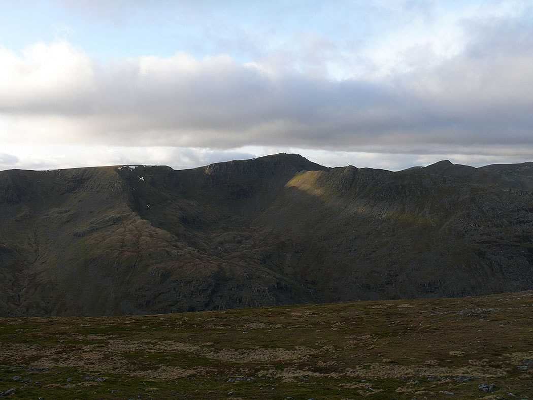
On the summit of Hartsop-above-How and the view along the ridge to Hart Crag and across to Fairfield and the crag of Greenhow End
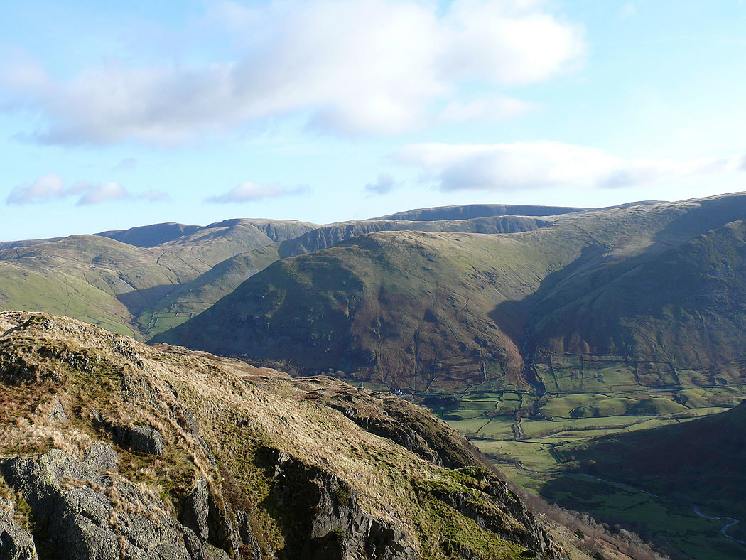
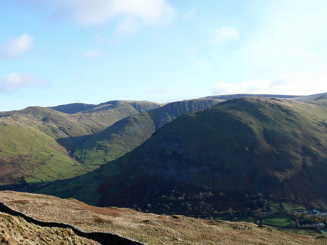
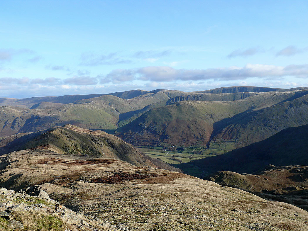
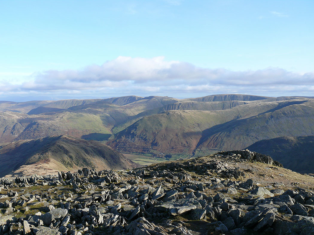
High Street and the far eastern fells
and again from the climb to Hart Crag
and finally from the summit of Hart Crag
Place Fell and the fells above Patterdale
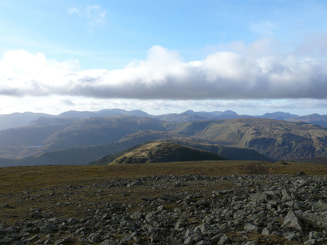
Views from Fairfield. On the horizon from left to right are Crinkle Crags, Bowfell, the Scafells, Great Gable, Pillar and the High Stile range.
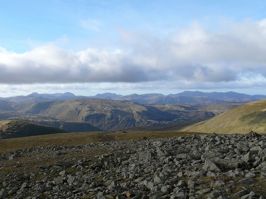
Great Gable, Pillar, the High Stile range, Dale Head, Hindscarth, Grasmoor, Crag Hill and Grisedale Pike
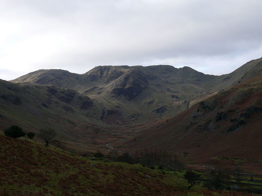
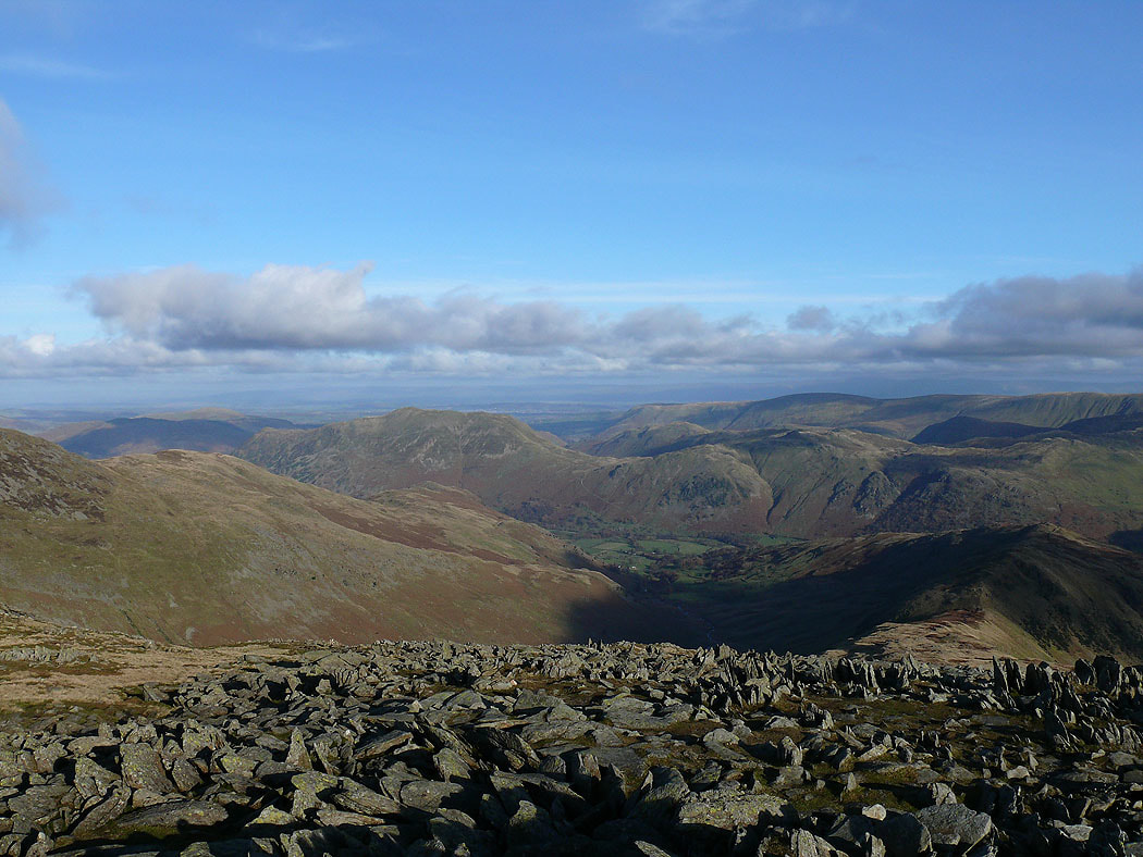
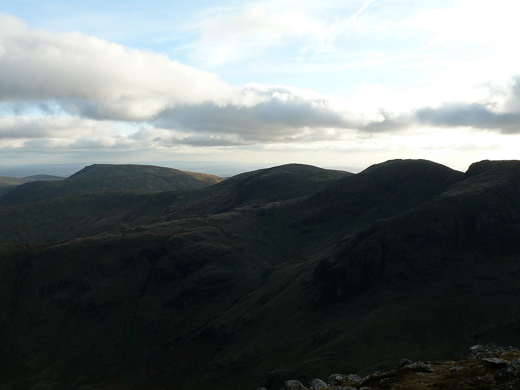
St. Sunday Crag and Deepdale
Dollywagon Pike, Nethermost Pike and Helvellyn
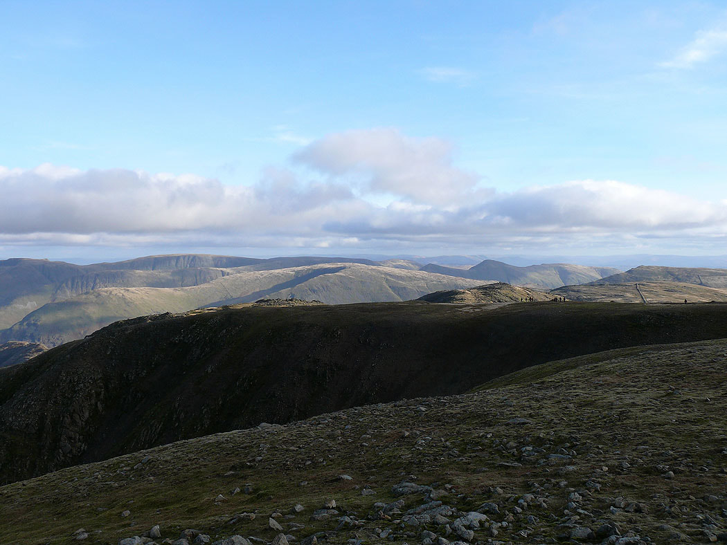
Looking across to High Street and the far eastern fells
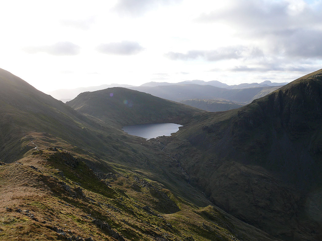
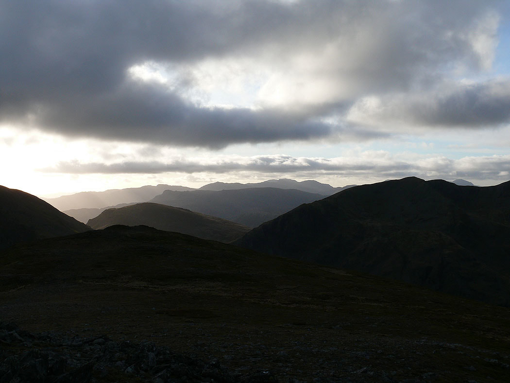
On route to St. Sunday Crag, Seat Sandal and Grisedale Tarn from Deepdale Hause
Nethermost Pike and Helvellyn
and again from the summit of St. Sunday Crag
The Crinkle Crags, Bowfell and Scafell Pike visible through a gap in the fells
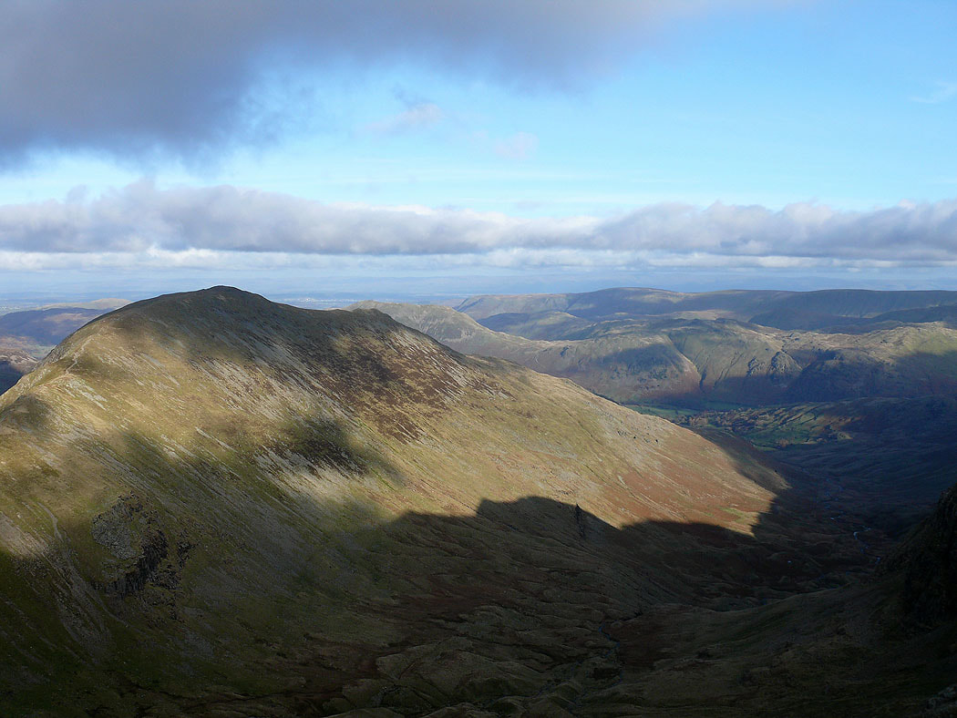
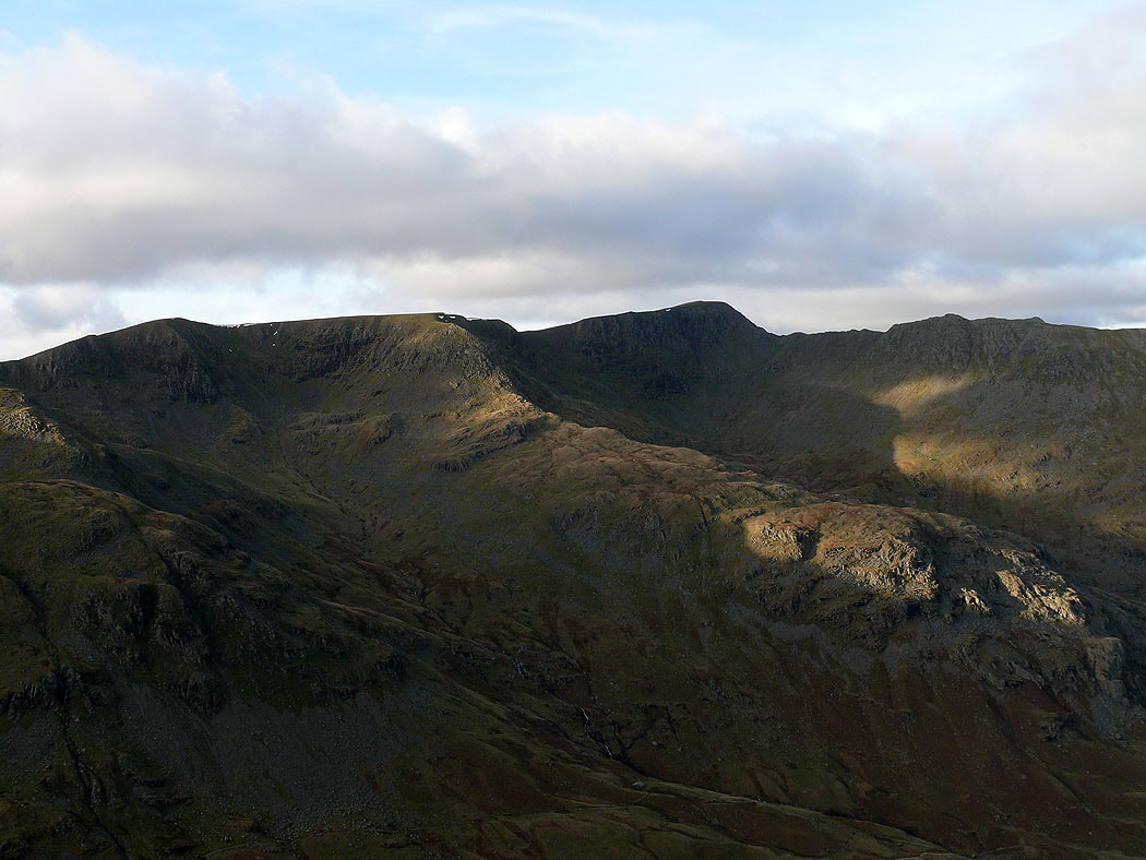
Red Screes, Dove Crag and Hart Crag
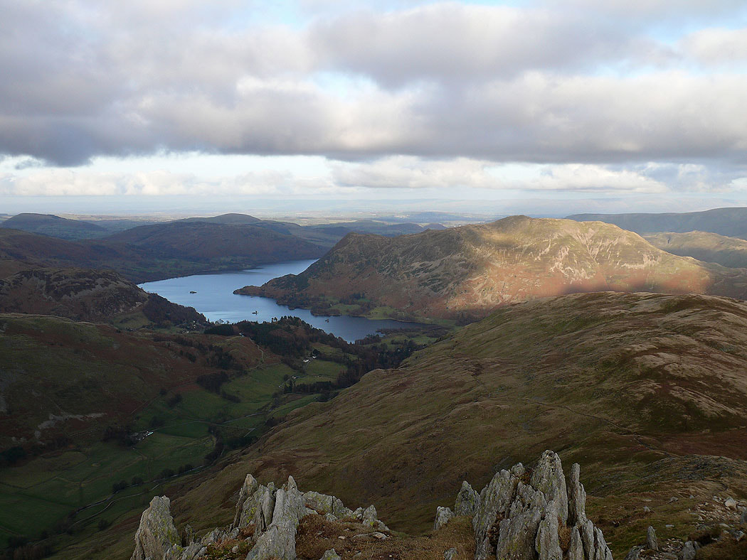
Ullswater and Place Fell from the top of St. Sunday Crag's northeast ridge
and the view across to High Raise and High Street
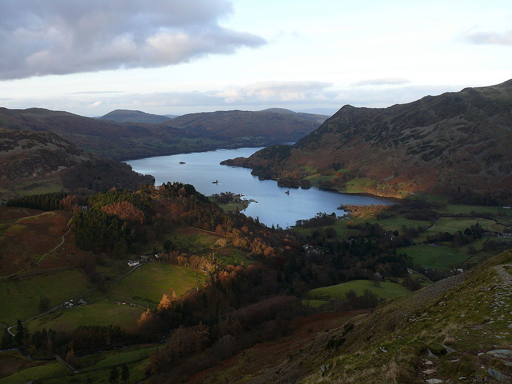
Ullswater from the descent of Thornhow End back to Patterdale