16th November 2014 - Arnside & Arnside Knott
Walk Details
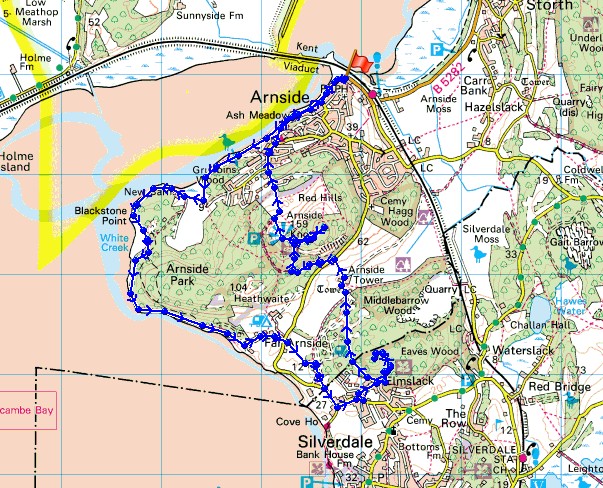
Distance walked: 8.1 miles
Total ascent: 1104 ft
OS map used: OL7 - The English Lakes, Southeastern area
Time taken: 5.5 hrs (I spent an hour on Arnside Knott)
Route description: Arnside-New Barns-Blackstone Point-Park Point-Far Arnside-Elmslack-Eaves Wood-The Pepperpot-Middlebarrow Plain-Arnside Tower-Arnside Knott Wood-Arnside Knott-Arnside
I thought that I'd give somewhere new a try today, the Arnside & Silverdale AONB. I'd been aware of the area for some time but it's really easy to ignore when you drive up the M6 to the Lakes. My route today was designed so that I could get to know the area a little and see what I'd been missing as well as visiting Arnside Knott, a fantastic viewpoint. I'll definitely be making future visits. It was a shame that the only time the sun came out was at the end of the day up on Arnside Knott. The path that follows the shoreline from Arnside round to Park Point can only be followed when the tide is out as it comes in right up to the base of the cliffs.
After parking in Arnside I set off by following the promenade to its end (with a wander out onto Arnside Pier). I then took the shoreline path to New Barns and onto Blackstone Point and Park Point. Leaving the shoreline here I took the woodland path to the caravan park at Far Arnside. I walked through the caravan park and up its access road, across the public road and onto a field path to the Silverdale Holiday Park. I made my way out to the road and then to the hamlet of Elmslack. I then made my way up through Eaves Wood to the Pepperpot (signposted as such) and after retracing my steps, on to the path to Arnside Tower and then Arnside Knott. The path goes across the side of the hill and when I reached a junction I turned right and climbed to the summit. After paying the trig point a visit I went across to the viewpoint. Some time was spent here taking in the view but eventually I made my way down to Arnside.
Route map
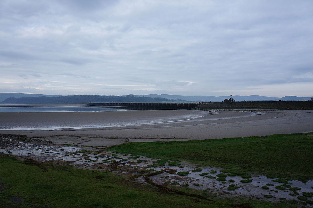
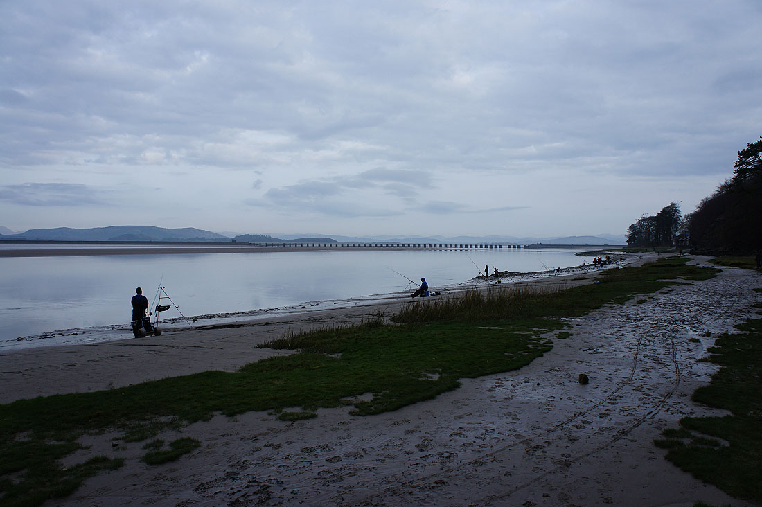
The Kent Viaduct as I set off along the promenade at Arnside
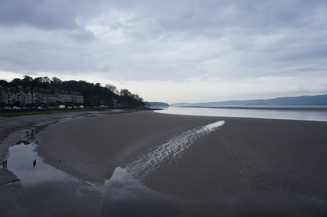
The view down the Kent from Arnside Pier
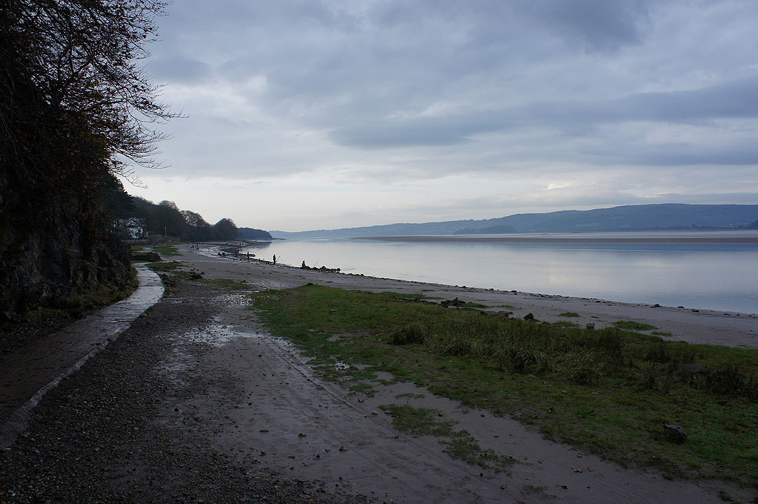
Having reached the end of the promenade I'm going to follow the coastal path
Approaching the inlet at New Barns and the path heads inland before joining the coast again at Frith Wood
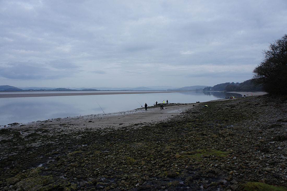
Back on the coast. Plenty of anglers out this morning.
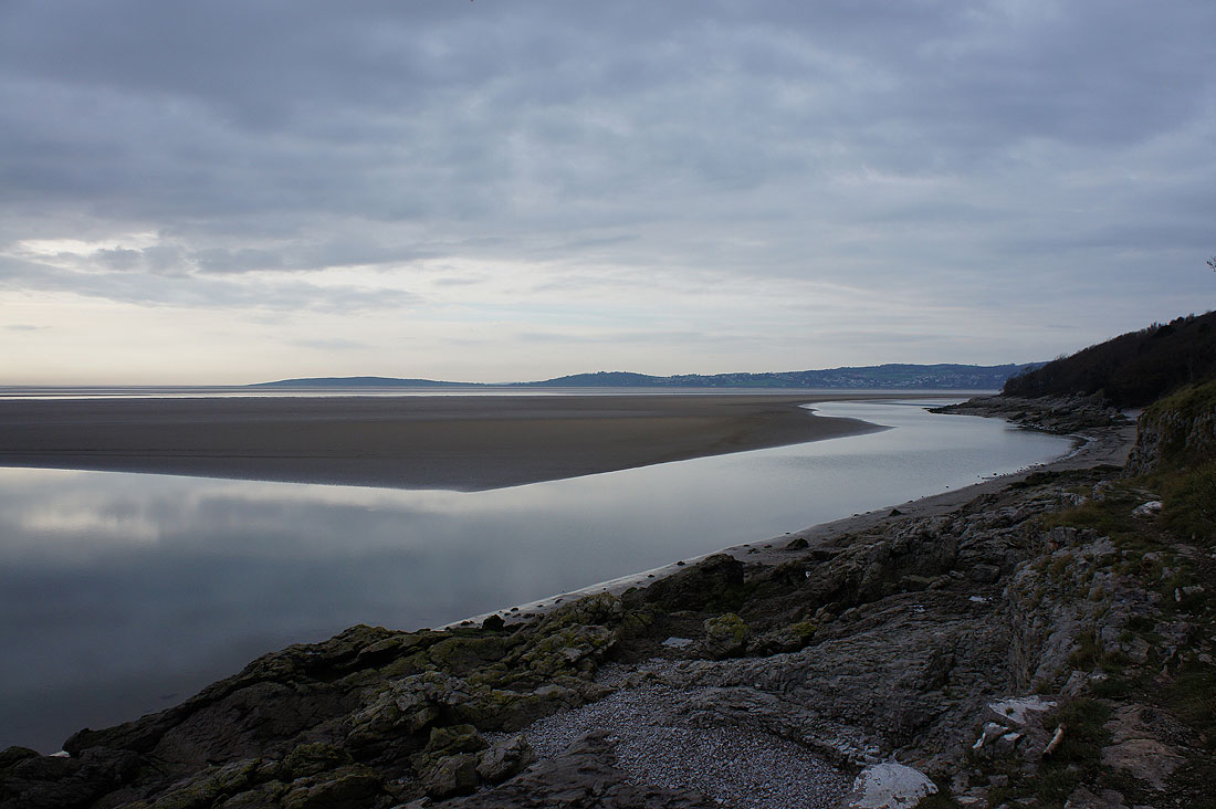
Looking across to Grange-over-Sands
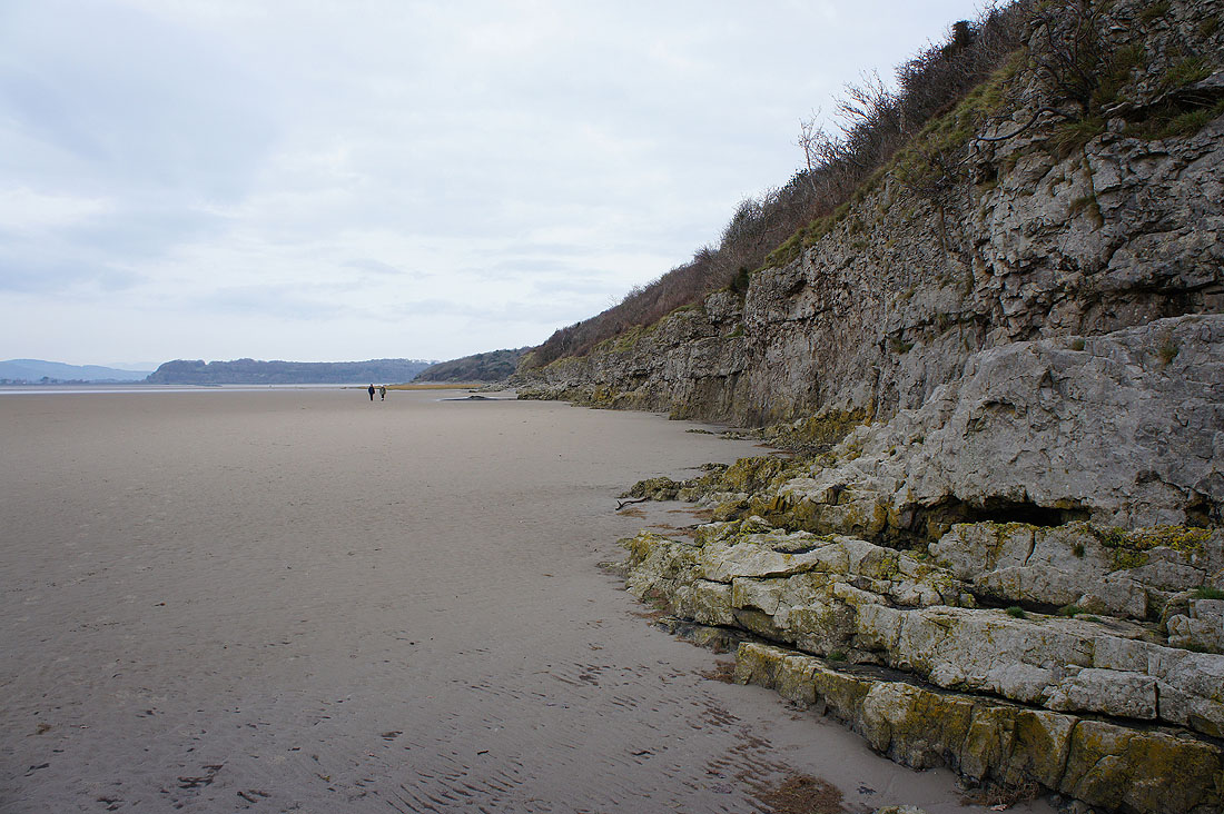
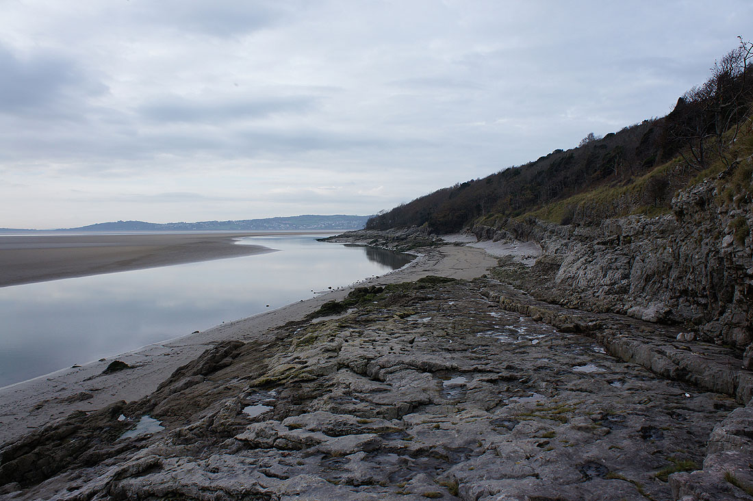
I particularly liked the limestone cliffs at Arnside Point. You can see the shape of a big fold in the rocks. The strata are dipping down as they head away from me, when they reach the couple they head back up again. The geological term for this is a syncline. The opposite way round would be an anticline. The other headland behind is Blackstone Point with the low hill in the distance Meathop Fell, on the other side of the Kent.
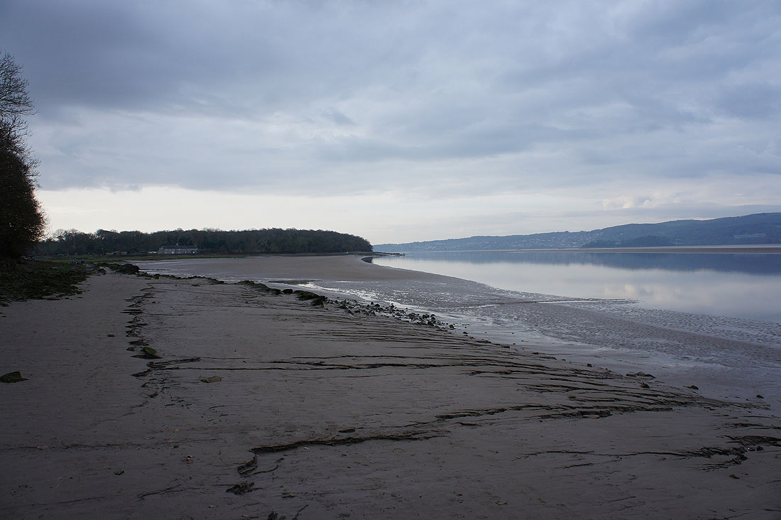
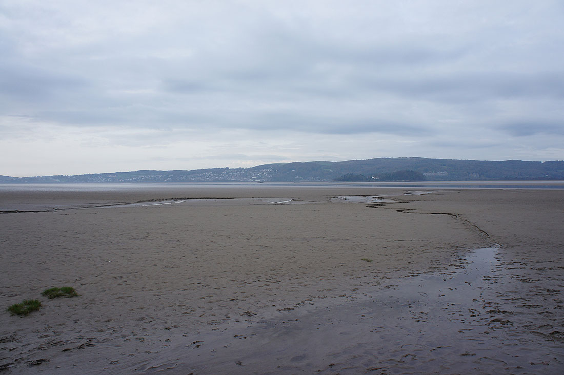
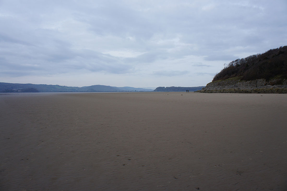
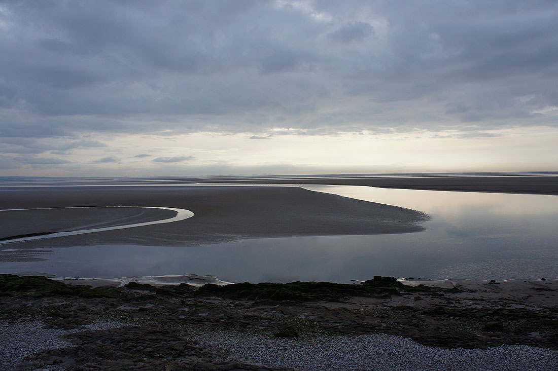
An expanse of sand
As I approach Park Point I can see down the coast to the distant hills of the Forest of Bowland
Park Point ahead
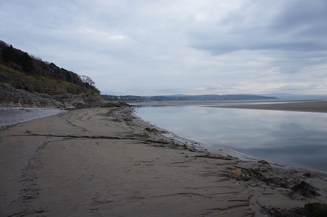
and looking back up the coast from Park Point. It was here that I decided to leave the shore and take the path through the woods at the top of the cliffs.
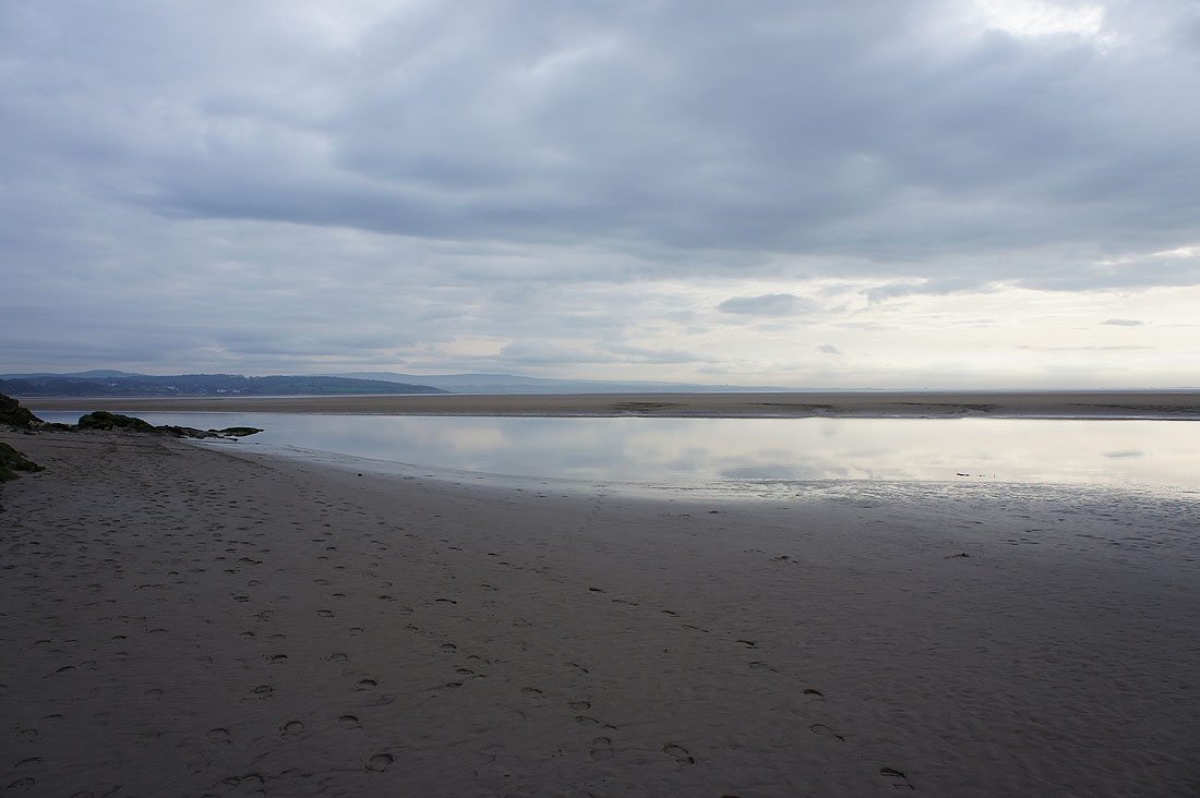
But first I'll sit down and have my lunch and take in the view. I can just about about make out Heysham across the sands.
Humphrey Head and Grange-over-Sands
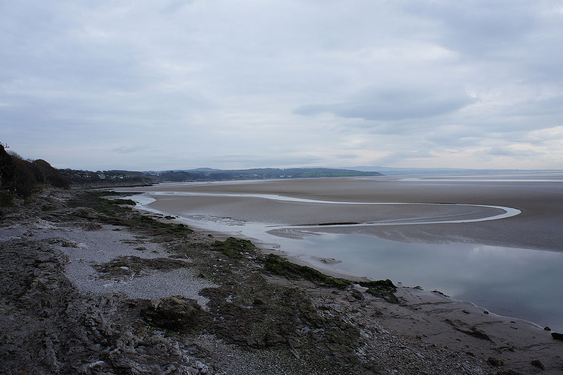
Looking down the coast to Silverdale
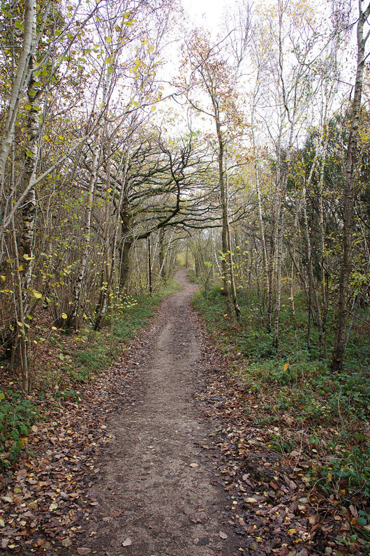
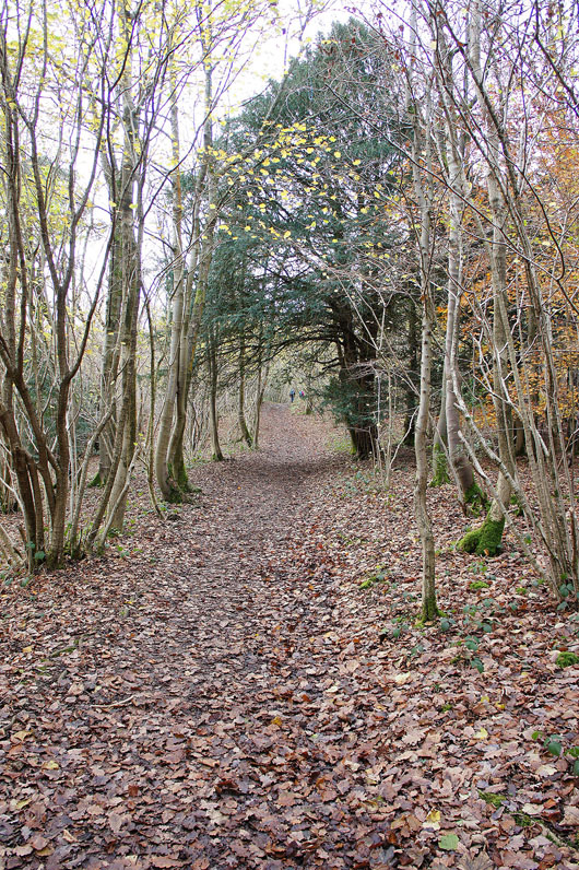
The woodland path will take me to the caravan park at Far Arnside
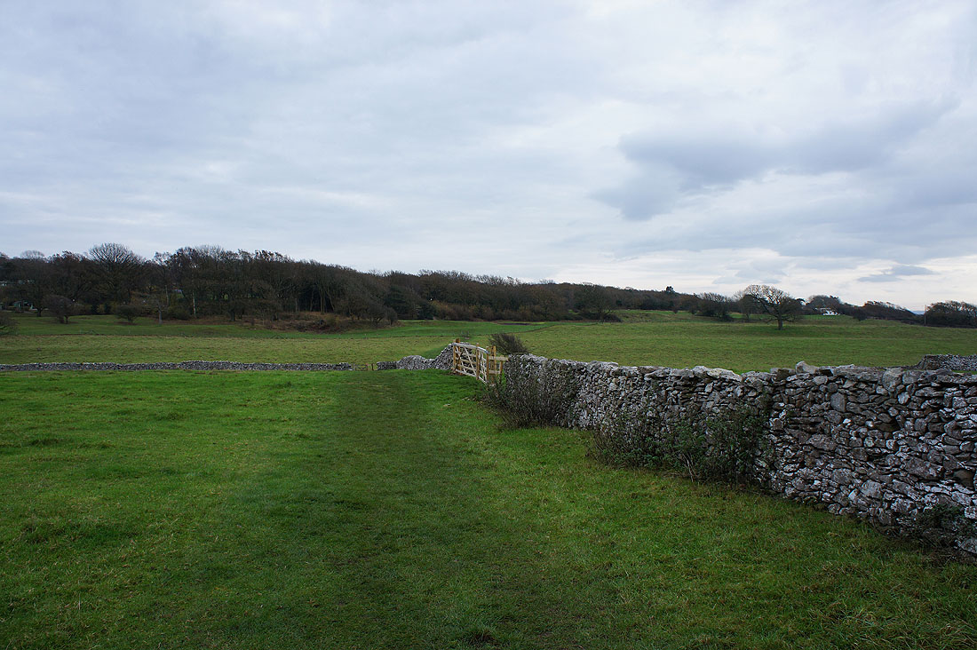
My route to Eaves Wood takes me across fields and into the Silverdale Holiday Park
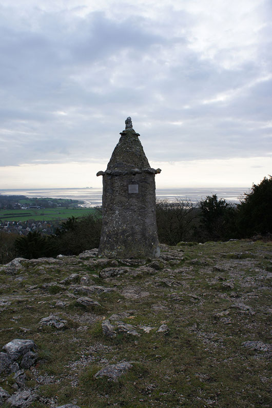
The Pepperpot. A memorial to the golden jubilee of Queen Victoria.
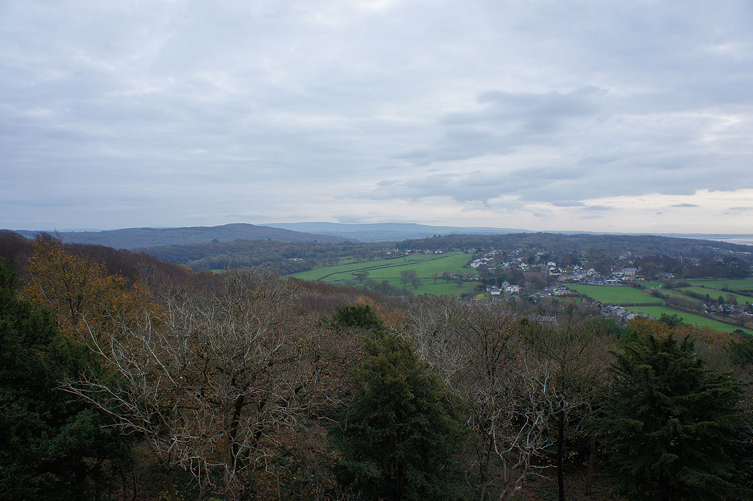
There's great view from up here. In the distance, Ward's Stone and Clougha Pike in the Forest of Bowland. The wooded hill nearer on the left is Warton Crag.
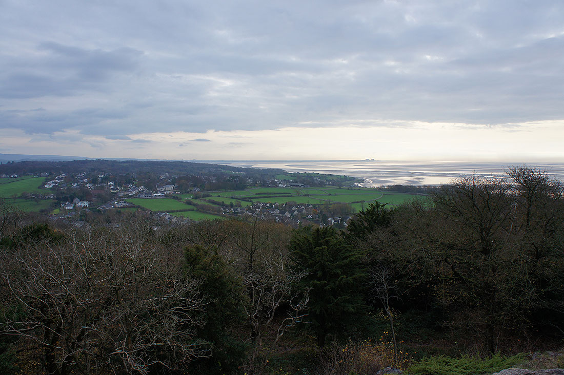
The village of Silverdale below and across Morecambe Bay to Heysham
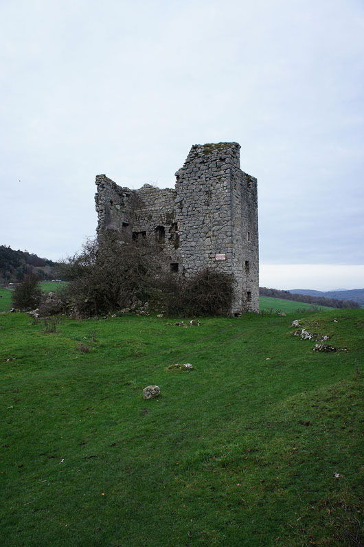
Passing the ruin of Arnside Tower and heading up through Arnside Knott Wood
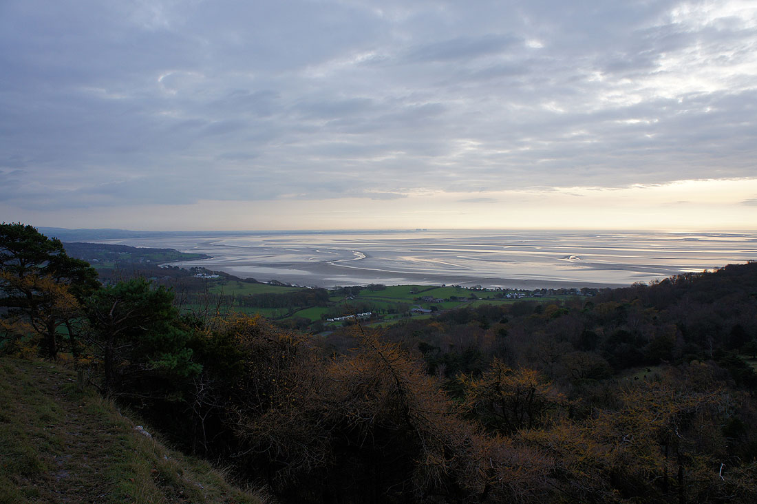
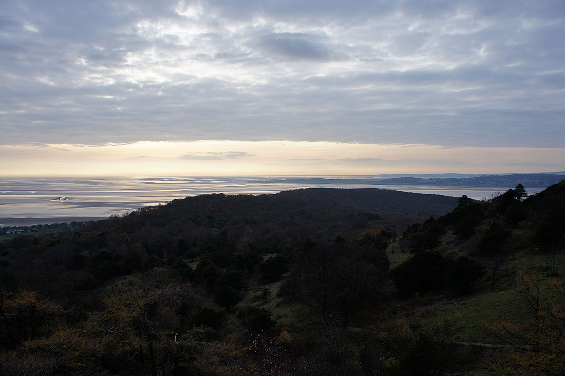
Out of the trees and there's a fantastic view. Across Morecambe Bay to Heysham.
and across Heathwaite to Humphrey Head. Time to head up to the trig point then I'll go to the viewpoint.
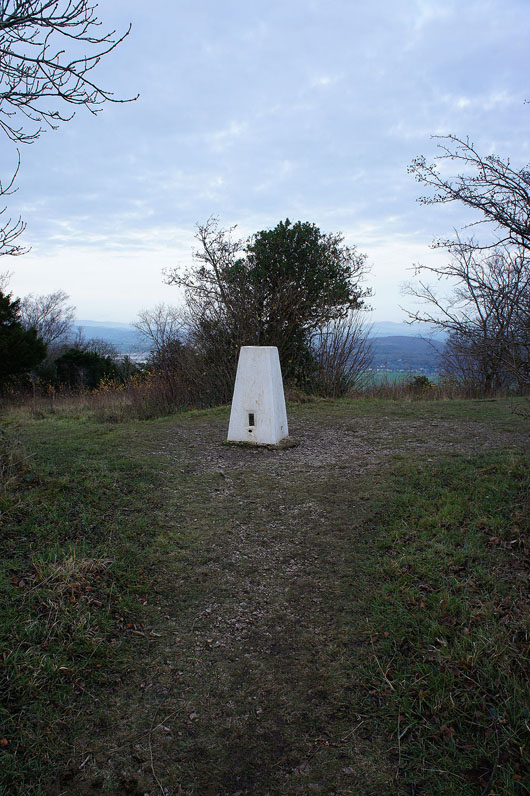
The trig point on Arnside Knott has restricted views
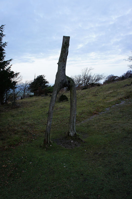
What remains of the knotted trees
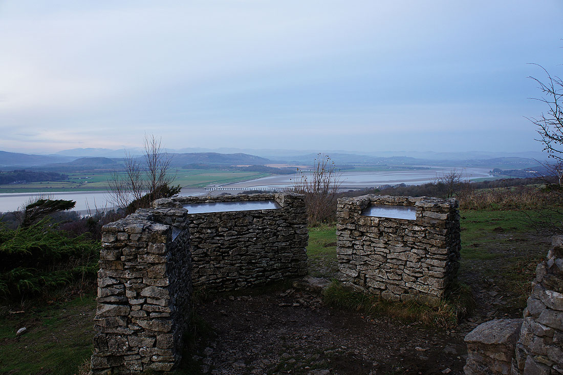
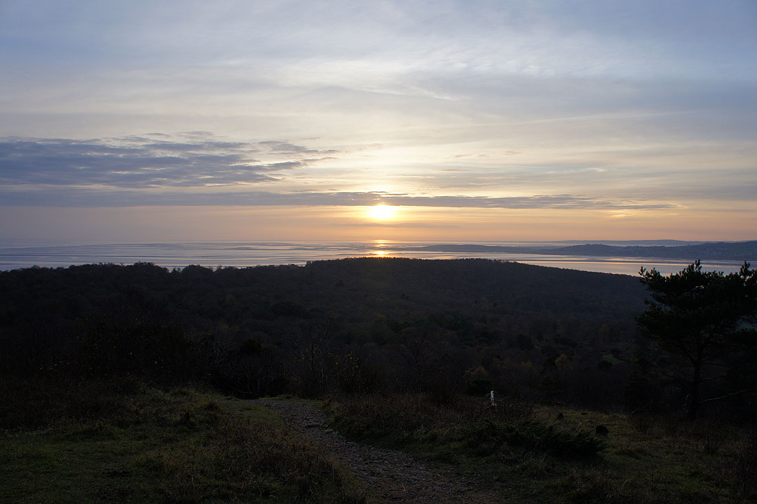
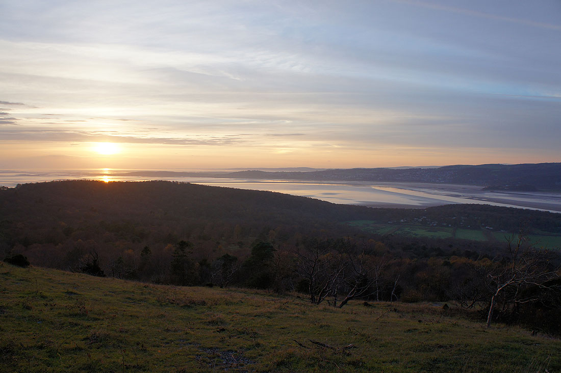
The viewpoint and toposcope on Arnside Knott, there's a lot to see when the visibility is good. I had the time to wait for the sun to set so I spent about an hour up here.
Looking out across Heathwaite to Humphrey Head
a little to the right, the Kent estuary, Grange-over-Sands with the Furness peninsula in the distance
Distant views to the Lake District. On the left are the Coniston fells, then on the right are the Helvellyn, Fairfield and High Street groups. Closer on the left are the low fells to the east of Windermere such as Gummer's How then on the right is the limestone hill of Whitbarrow Scar.
and finally looking up the River Kent the distant High Street fells merge into the Shap fells and the Whinfell ridge before rising again to the Howgills on the right
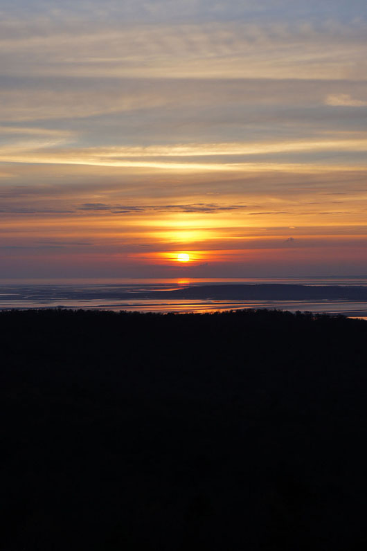
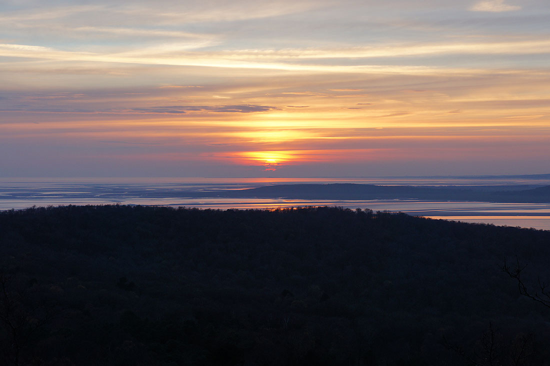
Going..
..going..I think I should be too
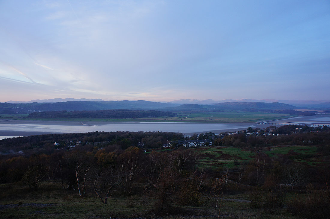
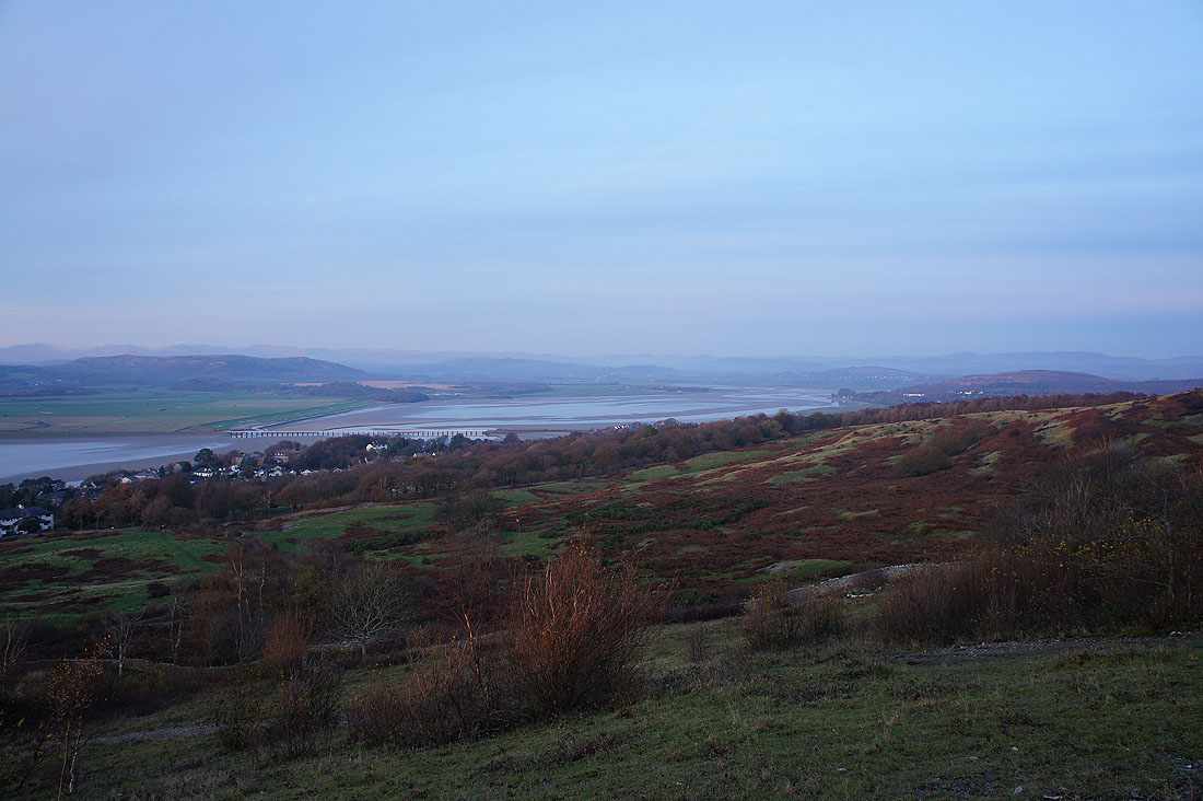
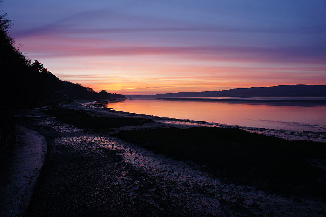
Fantastic colours in the sky as I get back to the promenade in Arnside
