16th October 2021 - Fountains Earth Moor and Pott Moor
Walk Details
Distance walked: 11.6 miles
Total ascent: 2015 ft
OS map used: 298 - Nidderdale
Time taken: 7 hrs
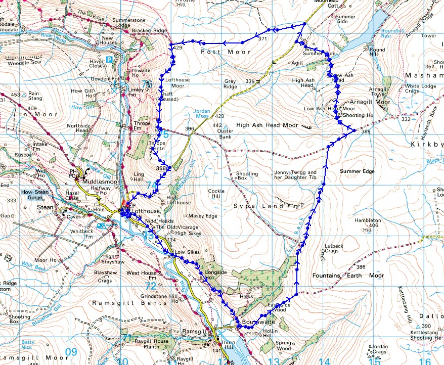
Route description: Lofthouse-Nidderdale Way-Bouthwaite-Fountains Earth Moor-Low Ash Head Moor-Low Ash Head-West Summer Side Farm-Pott Moor High Road-Pott Moor-Dale Edge-Thrope Edge-Trapping Hill-Lofthouse
When I decide where to go walking at the weekend I try and work out where the best weather might be. Sometimes it can be quite different from north to south, or east to west, depending on which way the wind is blowing. I don't think I made a good decision in that regard for today, as I ended up under grey skies and drizzle for hours when it was drier and brighter back close to home, and even worse, it wasn't forecast. Anyway, I'd made up my mind to do a route taking in the moors on the eastern side of Nidderdale above Lofthouse, and those on the western edge of Lower Wensleydale, above the valley of Pott Beck, this part of the route being new to me. After setting off from Lofthouse under dull and overcast skies, it started to drizzle as I was making my way up onto the moors from Bouthwaite, and then proceeded to get worse as I was on the top of Fountains Earth Moor with a near persistent drizzly rain falling which had me contemplating whether to cut my walk short and head back to Lofthouse. I'm glad that I didn't. It finally started to brighten up in the middle of the afternoon, and I enjoyed some lovely late afternoon sunshine for the walk south along Dale Edge and Thrope Edge back to Lofthouse.
From where I parked in Lofthouse I got onto the Nidderdale Way and followed it south to Bouthwaite. I then took a track east up onto the moors, turning left at the first junction, then right at the next up onto Fountains Earth Moor above Lul Beck to reach another track crossing the top of Fountains Earth Moor, which I took east towards Arnagill Moor. I soon reached a track on the left, which I followed down to the shooting houses on Low Ash Head Moor beside Combs Crags, where I stopped for lunch. After this break I followed the footpath from Low Ash Head Moor down to the ruins of Low Ash Head, down to the woodland at the western end of Agill Dam, and then up to and past West Summer Side Farm to reach Pott Moor High Road. I then had a short walk east along this road to the track up onto Pott Moor, which I followed west across Pott Moor to the bridleway on Dale Edge above Nidderdale. This bridleway then took me south from Dale Edge to Thrope Edge, and once past the shooting house I went through a gate on the right onto a bridleway down to the road on Trapping Hill. A walk down this road, with a short cut along a footpath down a field, saw me back to Lofthouse.
Route map
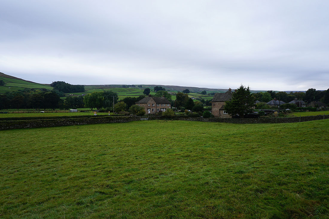
Leaving Lofthouse behind
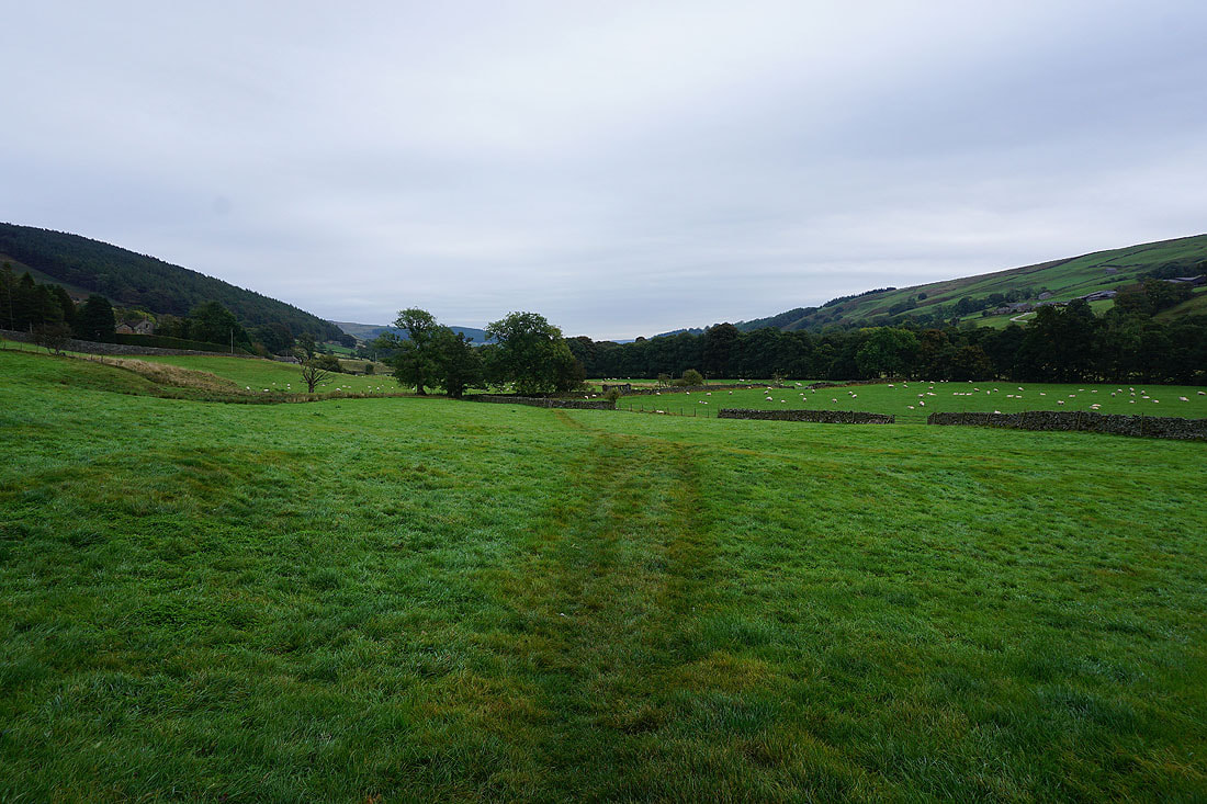
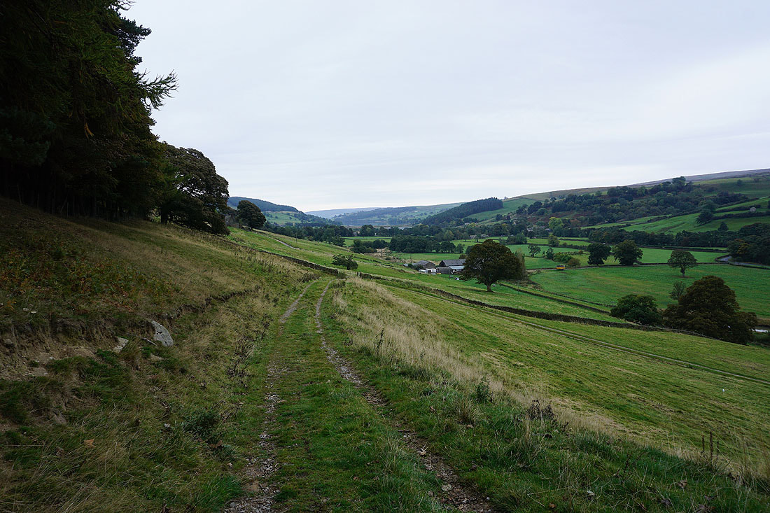
Views of Nidderdale as I follow the Nidderdale Way south to Bouthwaite....
In the hamlet of Bouthwaite
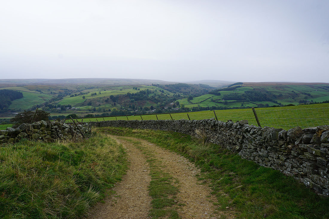
Looking back down to Ramsgill and across to Ramsgill Moor as I take the track from Bouthwaite up onto Fountains Earth Moor
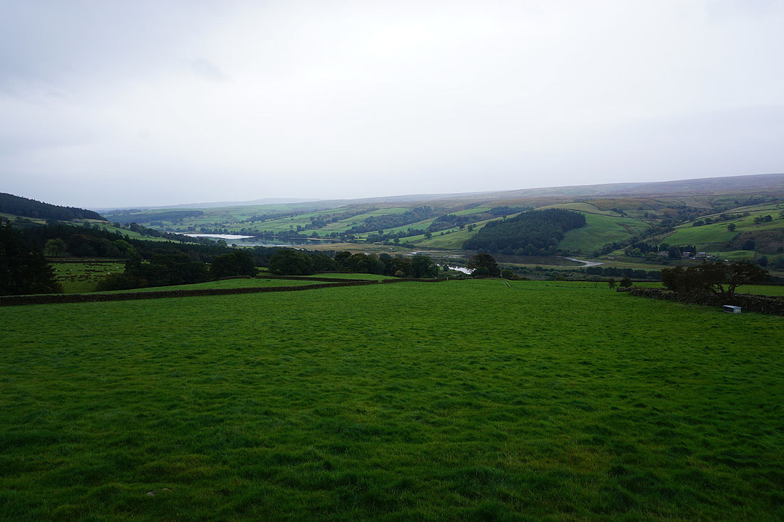
A less than full Gouthwaite Reservoir
Heading up onto Fountains Earth Moor
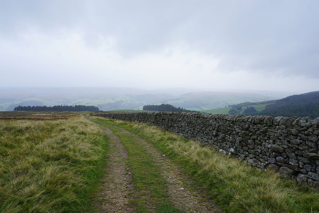
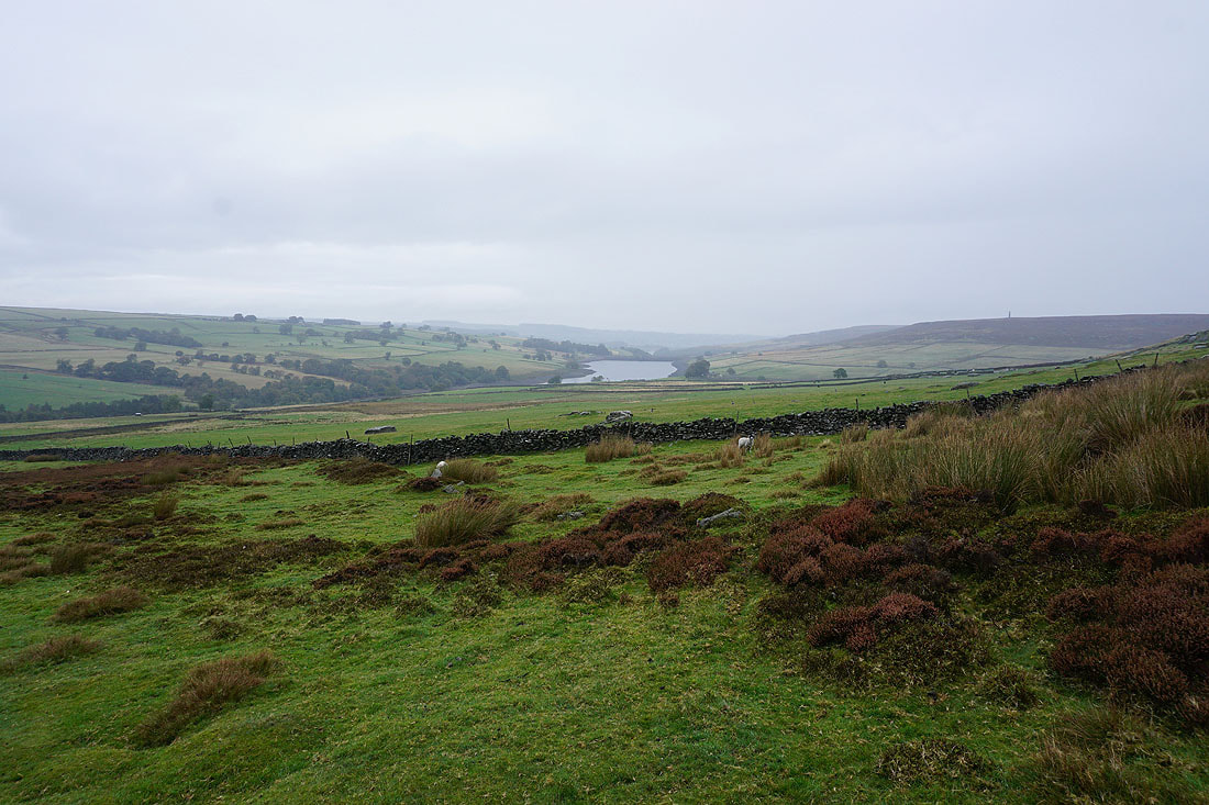
Looking back across Nidderdale and the weather doesn't seem to be improving, in fact it's getting worse
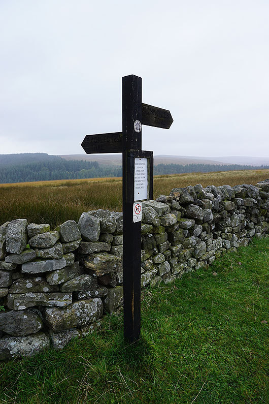
A signpost for the "Six Dales Trail"
I took the left hand fork at a junction of tracks, and follow it up onto Fountains Earth Moor
It looks like there could be brighter skies over Nidderdale. I shouldn't have gotten my hopes up.
The moorland of Sype Lane ahead
and Sypeland Crags
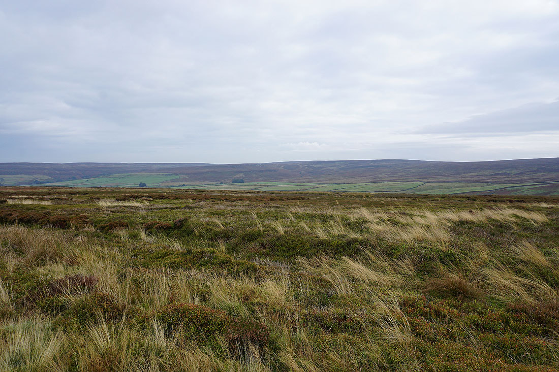
Despite the grey skies the moors can still have some colour
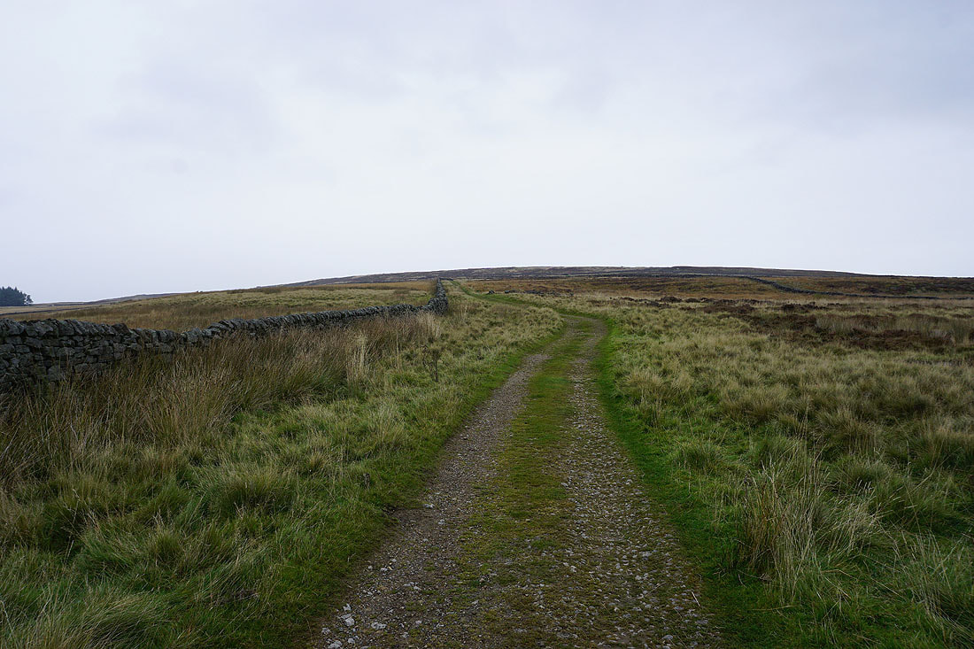
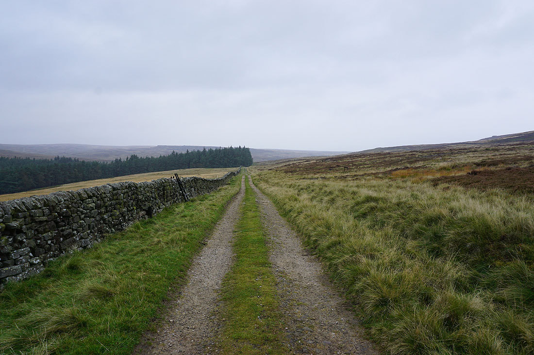
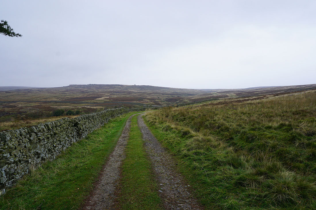
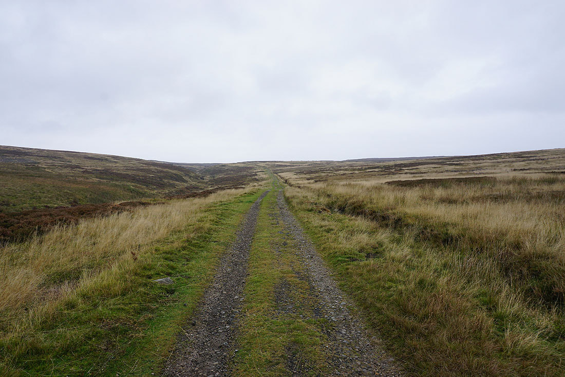
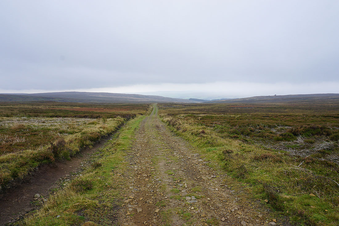
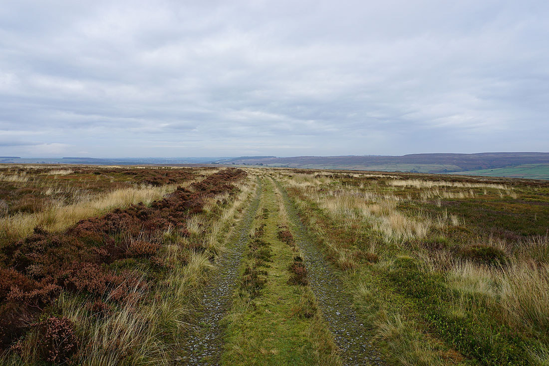
Following the track to the top of Fountains Earth Moor
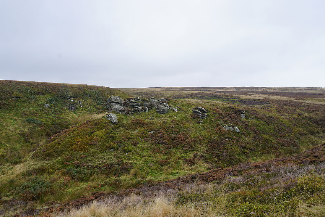
The very modest Lulbeck Crags
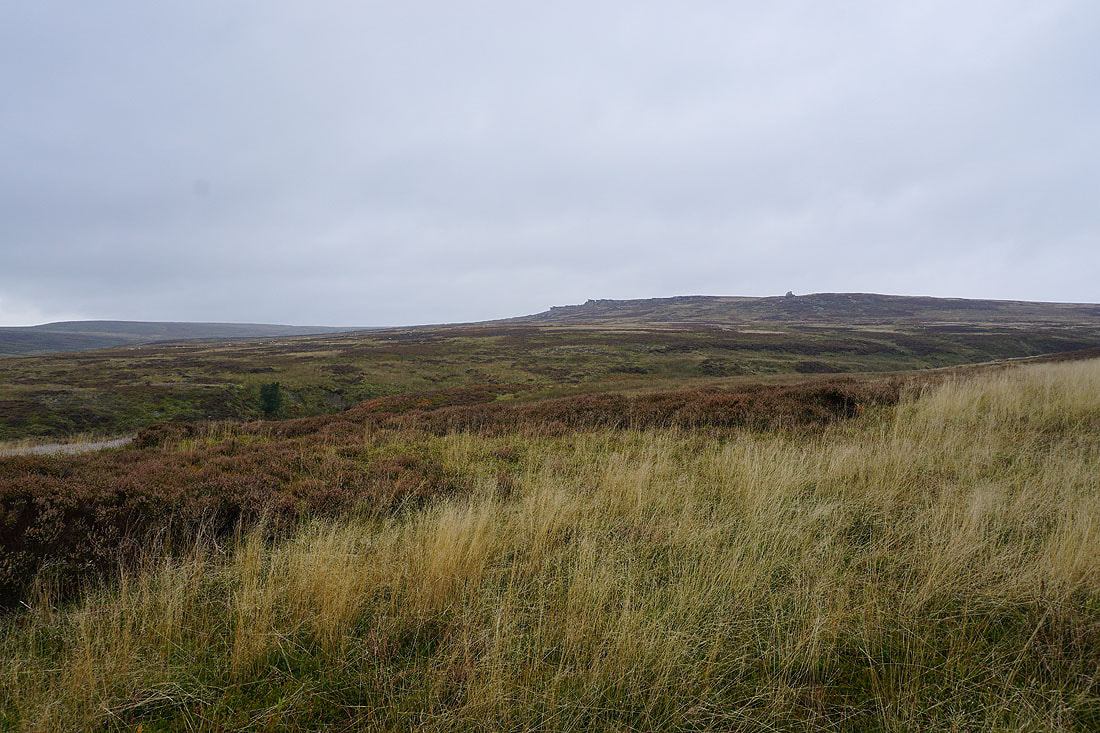
The top of the moor is in sight
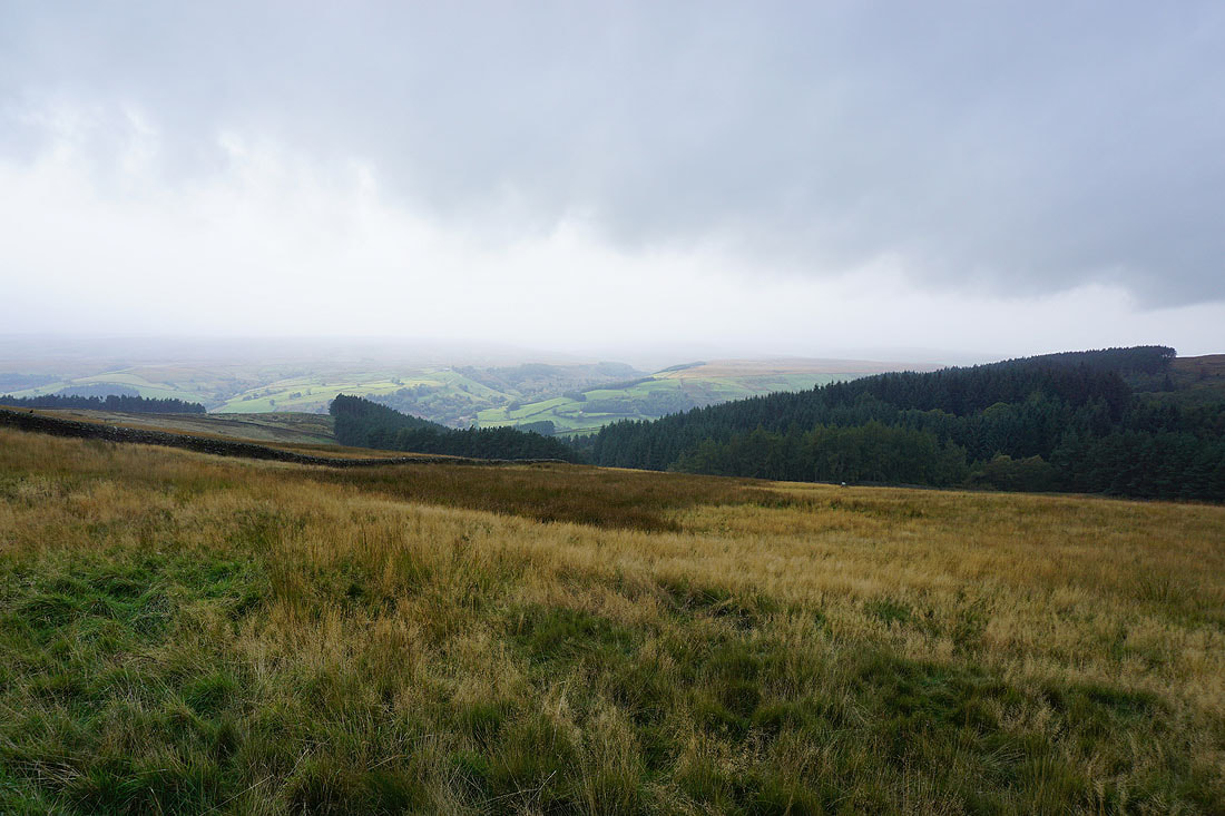
Looking back down into Nidderdale as I reach the top of the track. Conditions aren't very pleasant at the moment, with a persistent drizzle falling.
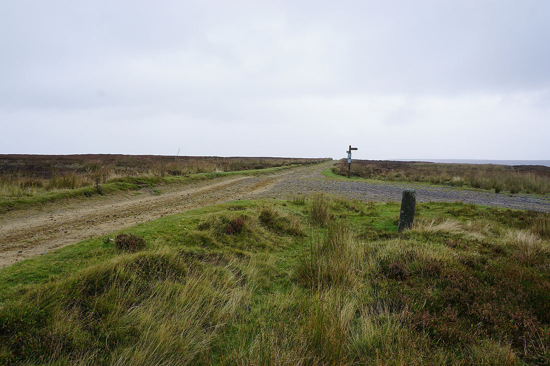
At the junction of tracks at the top of Fountains Earth Moor. I'm going to take the one going straight ahead, to Arnagill Moor, but if I wanted to head back down to Lofthouse I could take the one behind me.
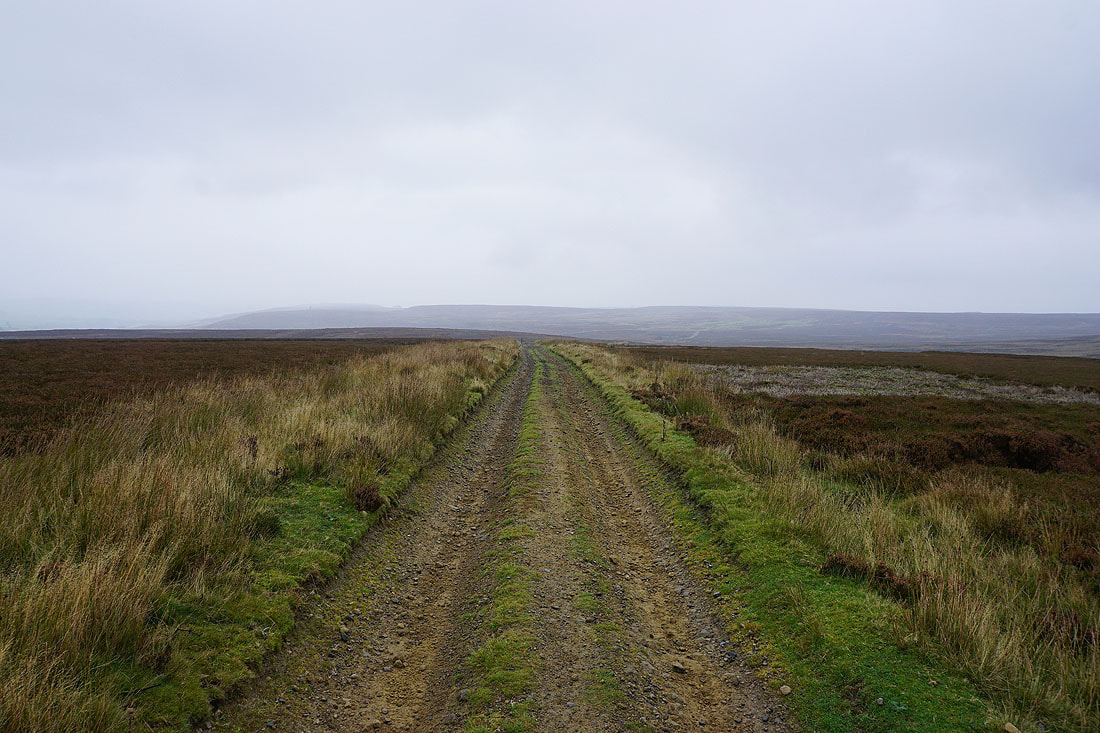
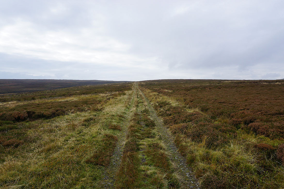
On the track east towards Arnagill Moor
I soon leave it though for one down to the shooting houses on Low Ash Head Moor
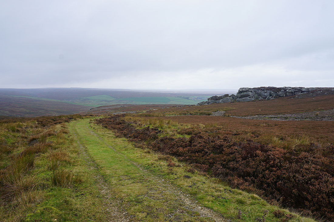
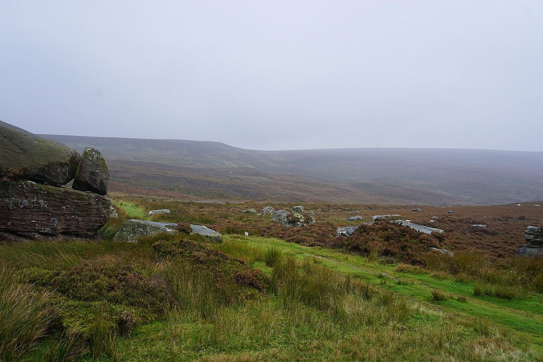
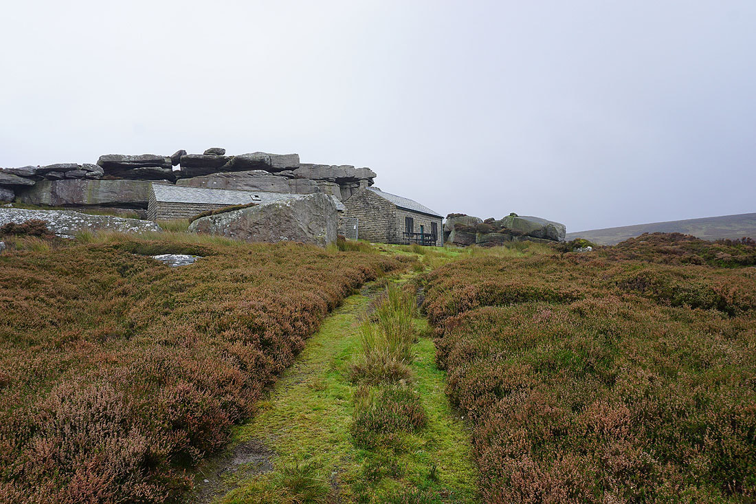
High Ash Head Moor as I reach the shooting houses nestled beside Combs Crags on Low Ash Head Moor
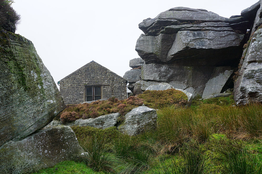
The crags provide shelter for my lunch stop, which I need with the showers of drizzly rain that keep passing through
Combs Crags. I did think about scrambling up onto them for the view, but it wasn't worth it in this weather, and the boulders would probably be quite slippery.
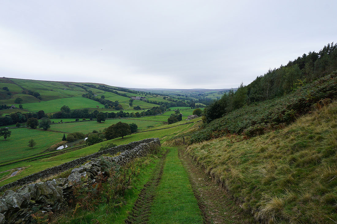
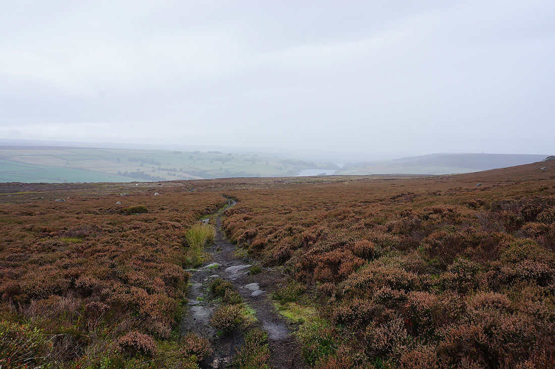
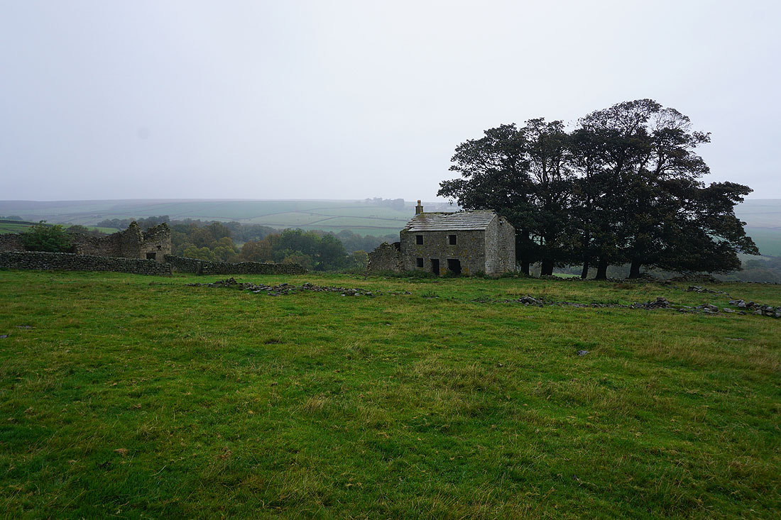
Roundhill Reservoir and the valley of Pott Beck below as I follow the footpath down to the ruins of Low Ash Head...
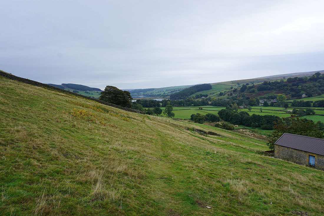
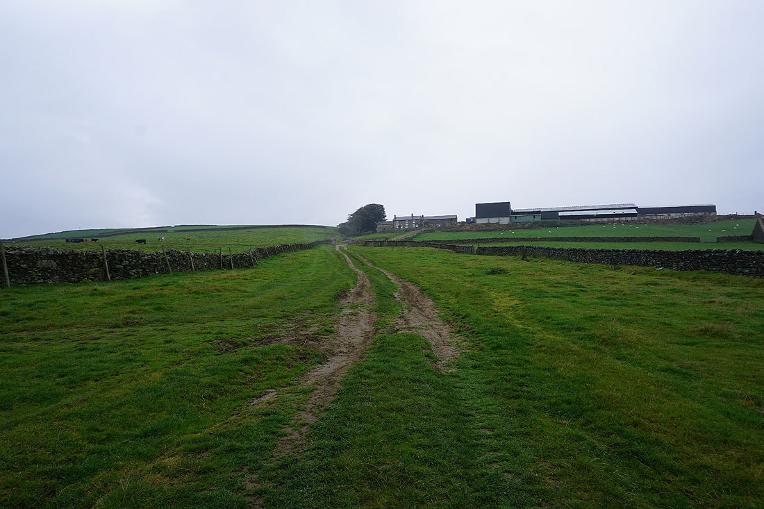
Heading up to West Summer Side Farm
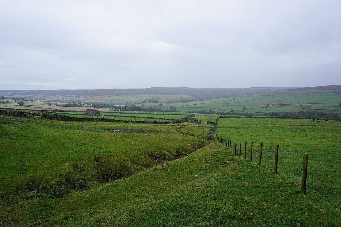
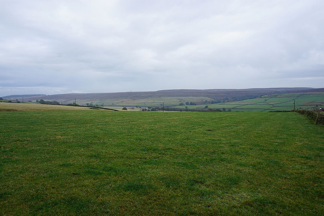
Looking back across the valley of Pott Beck to Arnagill Moor from below West Summer Side Farm. I can make out Arnagill Tower on the left.
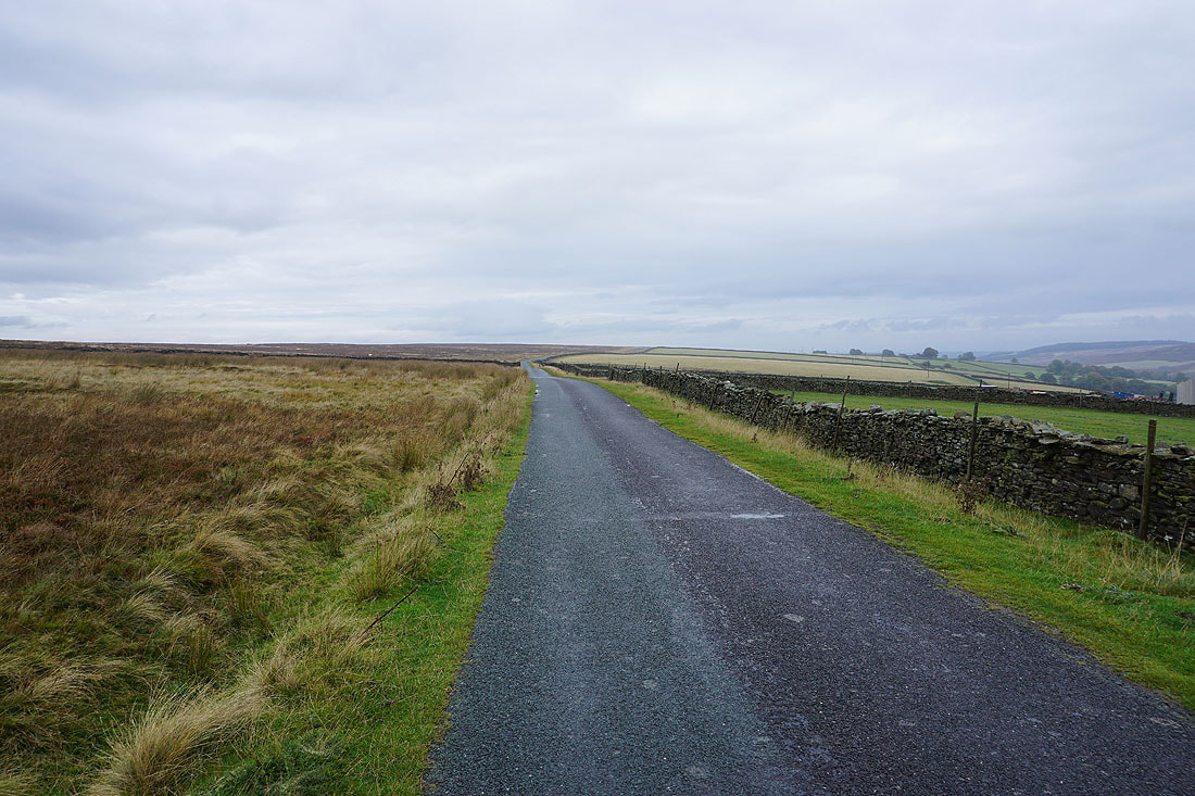
From West Summer Side Farm I've made it up to Pott Moor High Road. I have a short walk along it to reach the track up onto Pott Moor.
Looking across to Arnagill Moor
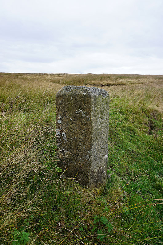
A milestone by the road where I leave it..
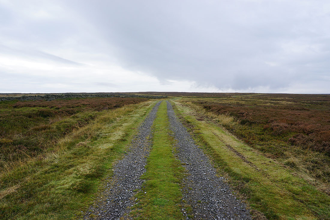
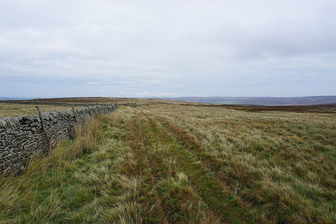
..and take the track up onto Pott Moor. It looks like it might be brightening up.
Arnagill Moor, Low Ash Head Moor and High Ash Head Moor to the south
Looking back down the track to the valley of Pott Beck with Ilton Moor in the distance
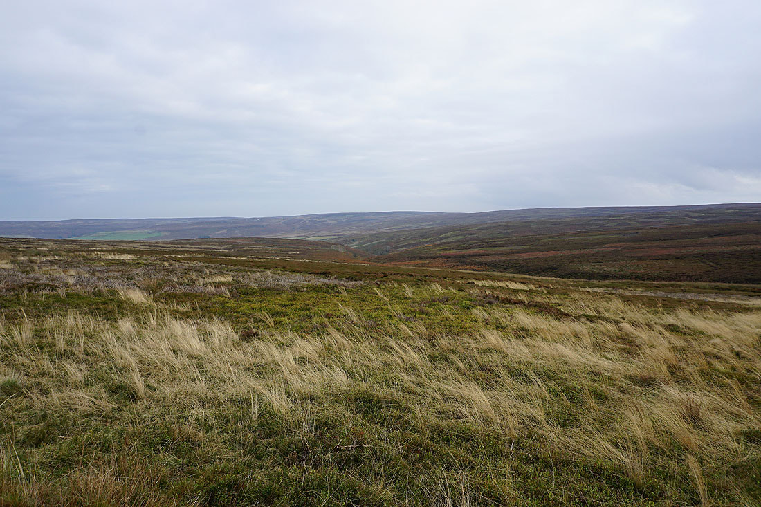
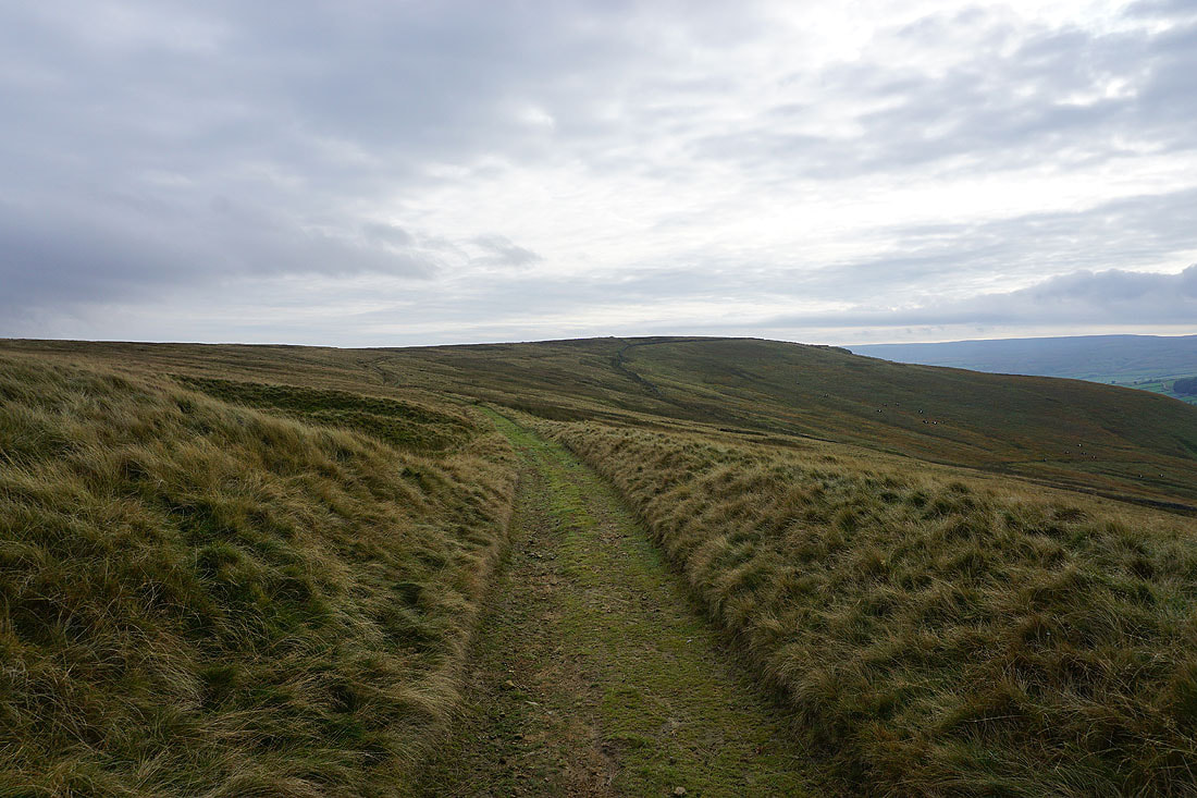
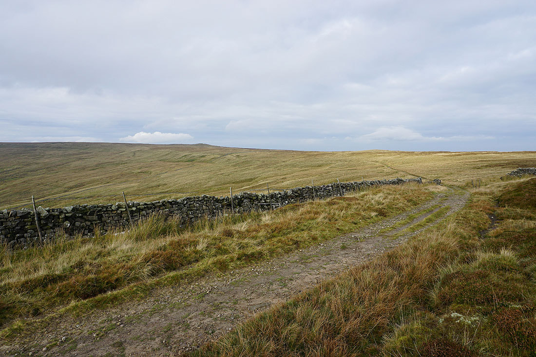
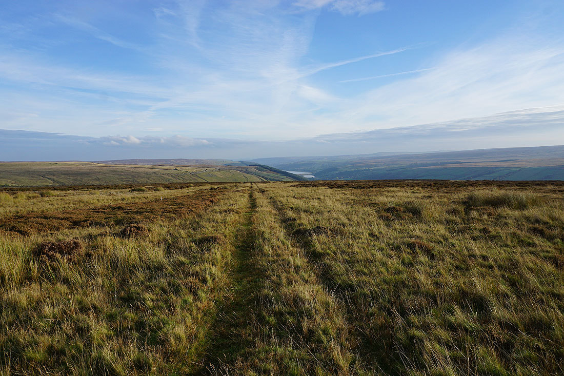
Crossing Pott Moor
High Ash Head Moor on the other side of Agill Beck
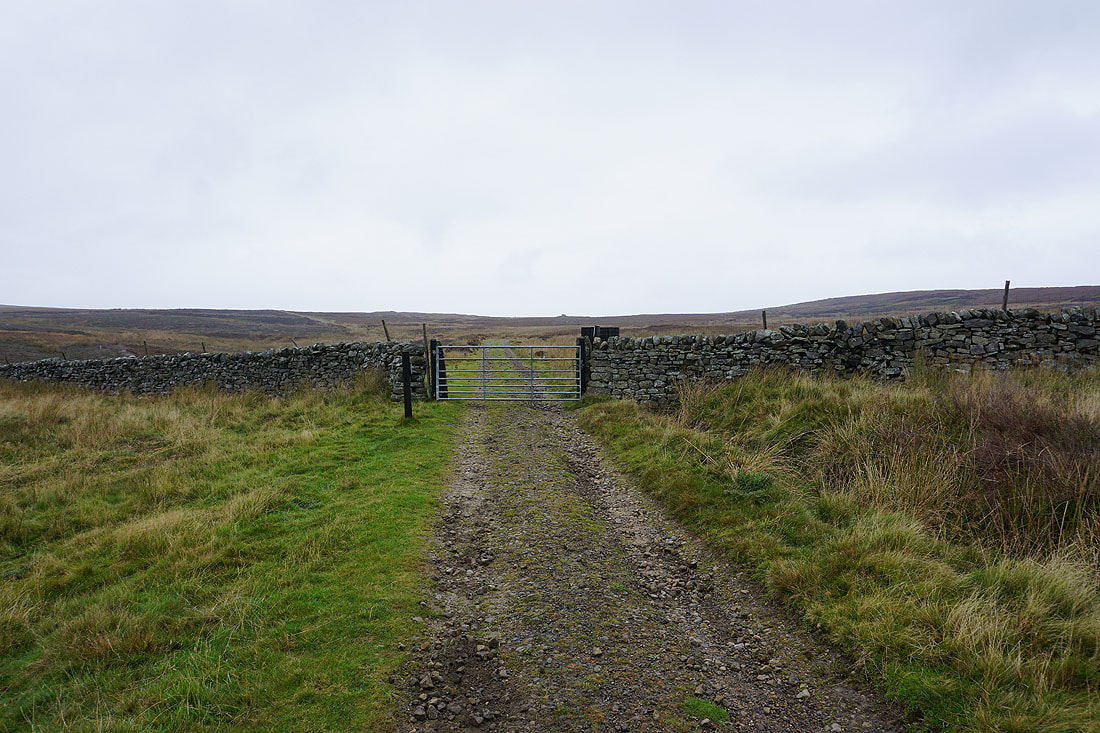
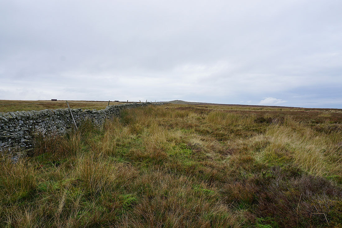
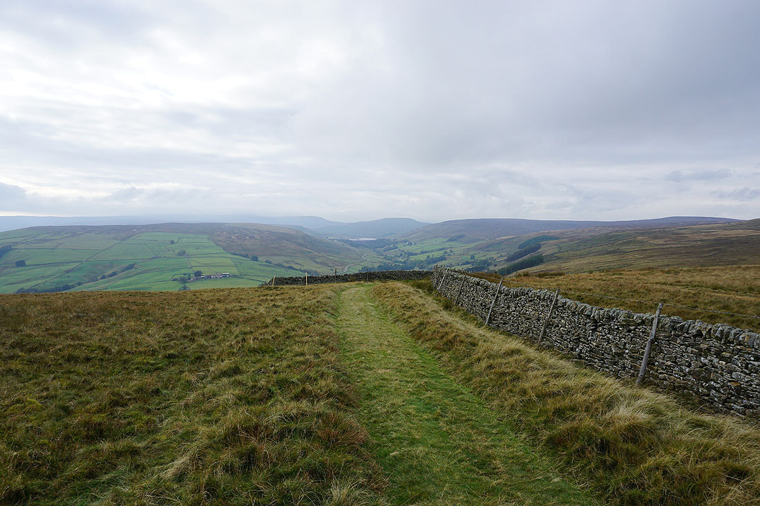
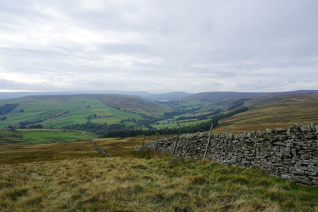
I reach the gate at the top of the track, and before I pass through a look north along the moorland wall to Throstle Hill on Masham Moor
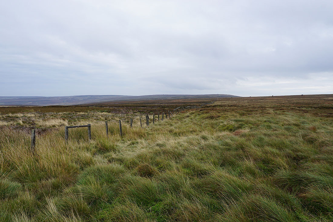
On the other side of the gate and a fence heads south towards Ouster Bank
Looking back across Pott Moor
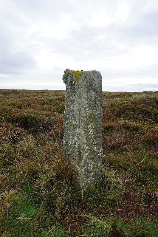
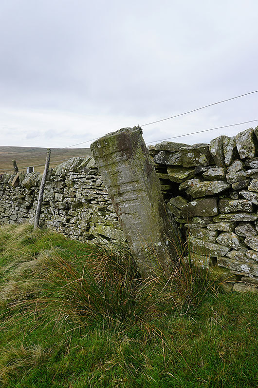
A boundary stone next to the track
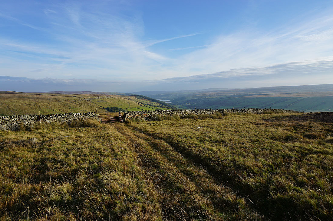
As I cross the top of the moor the view towards the head of Nidderdale appears. I'm glad that the weather has improved, the best views of the walk are still to come.
Another boundary stone. I think this one may have had writing on it, but it's illegible if it did.
In Moor, a cloud-topped Great Whernside, Little Whernside and Carle Fell around the head of Nidderdale from Dale Edge. The patch of water is Scar House Reservoir.
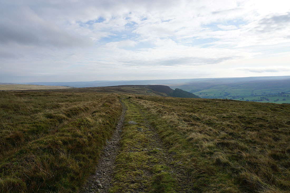
Heading south along the bridleway from Dale Edge to Thrope Edge
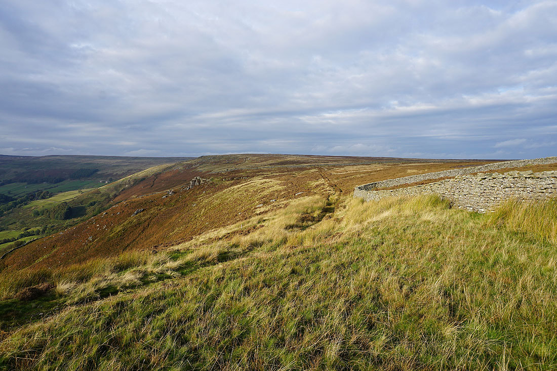
Looking back north along Dale Edge
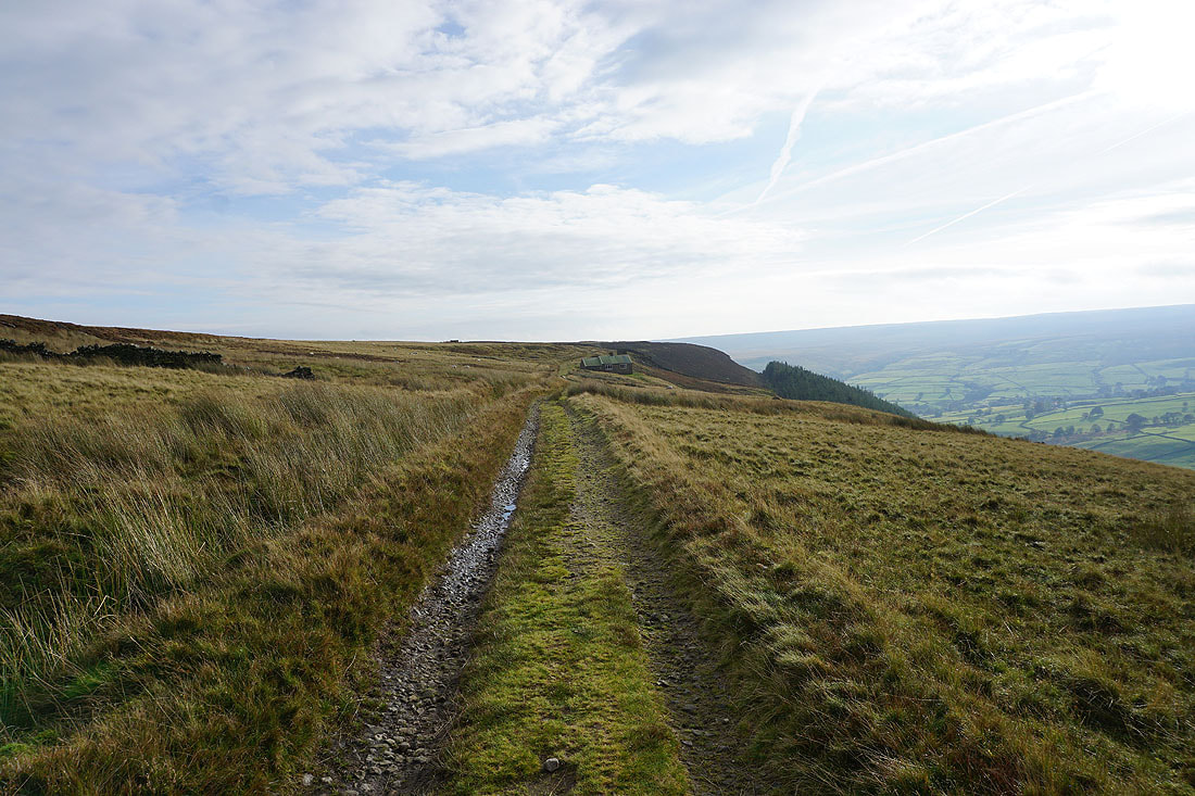
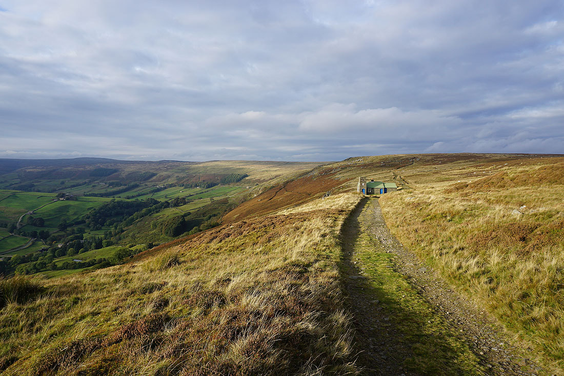
The shooting house on Thrope Edge appears as I follow the bridleway south..
Looking across Nidderdale to the sunlit slopes of In Moor
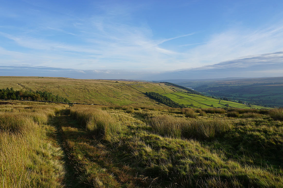
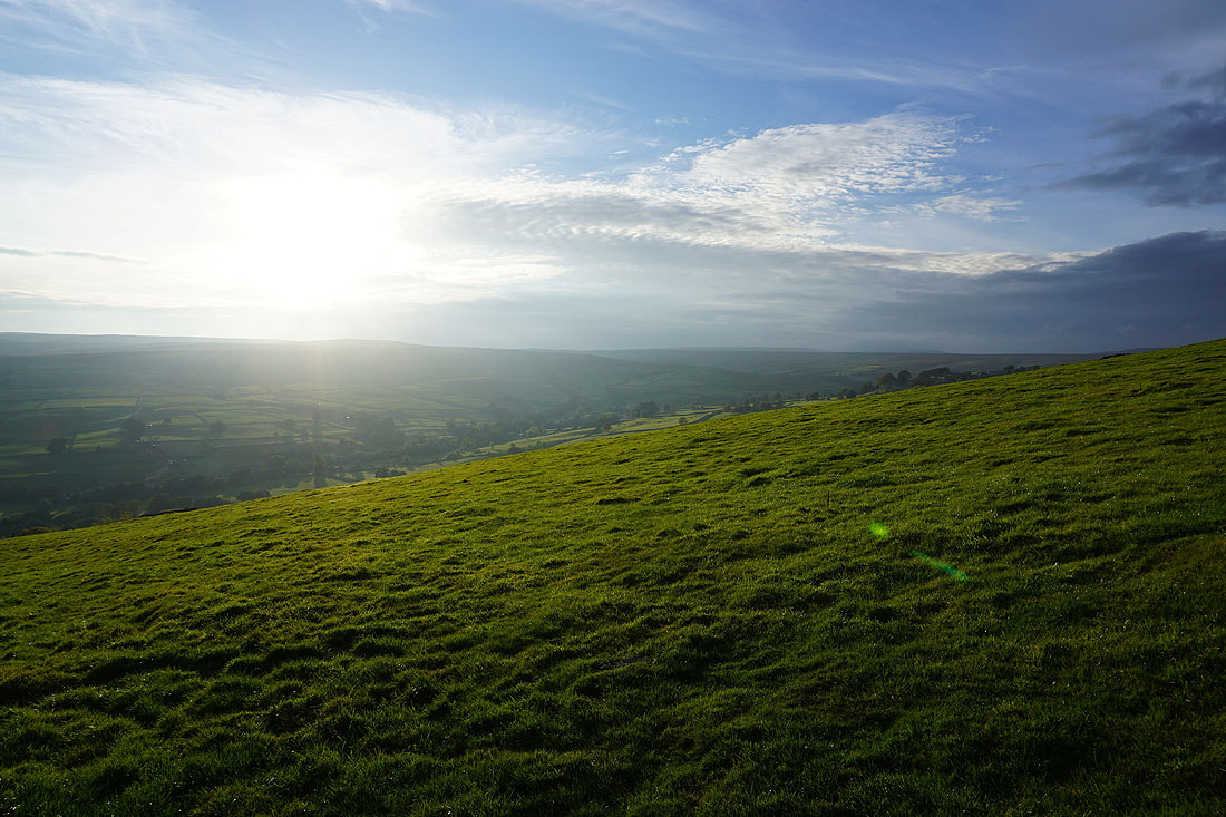
The late afternoon sunshine is giving some great colour to the moors...
Stean Moor and In Moor, and I can make out the village of Middlesmoor on the opposite hillside
A red kite. I've seen a few recently when I've been walking in the Dales.
Looking up Nidderdale to South Haw
and across to Middlesmoor and Stean Moor
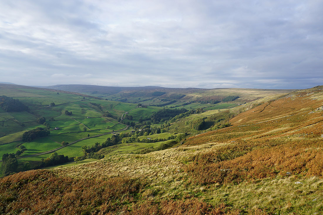
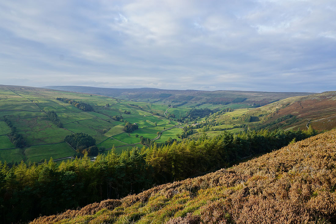
Great views down Nidderdale to Gouthwaite Reservoir and to Fountains Earth Moor as I follow the bridleway down to Trapping Hill...
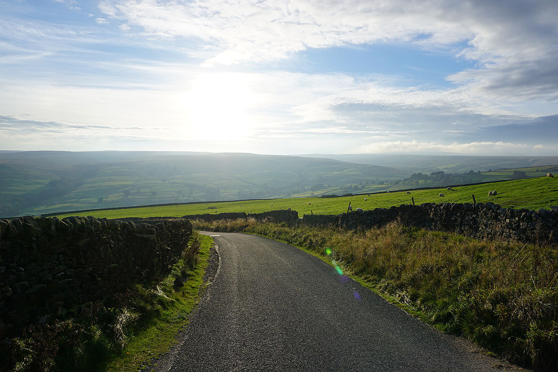
Walking down the road of Trapping Hill with Stean Moor on the other side of Nidderdale
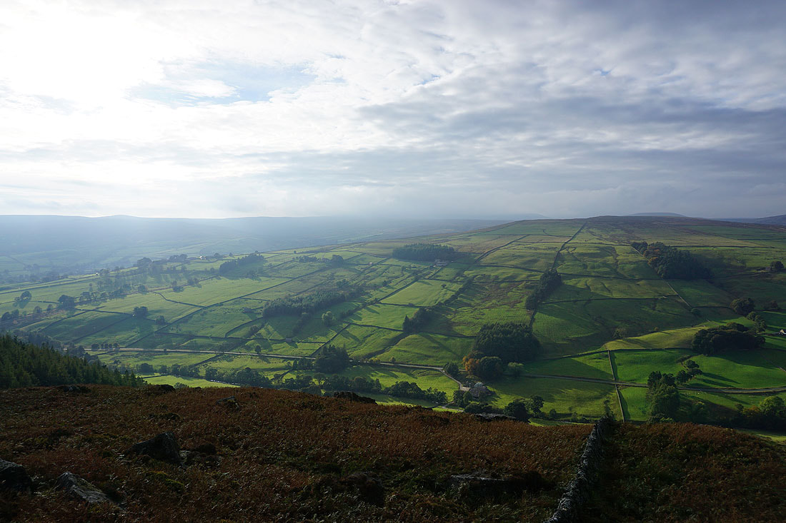
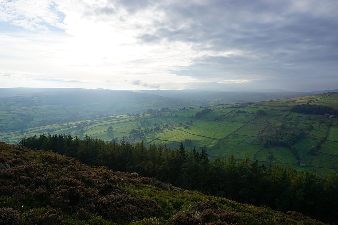
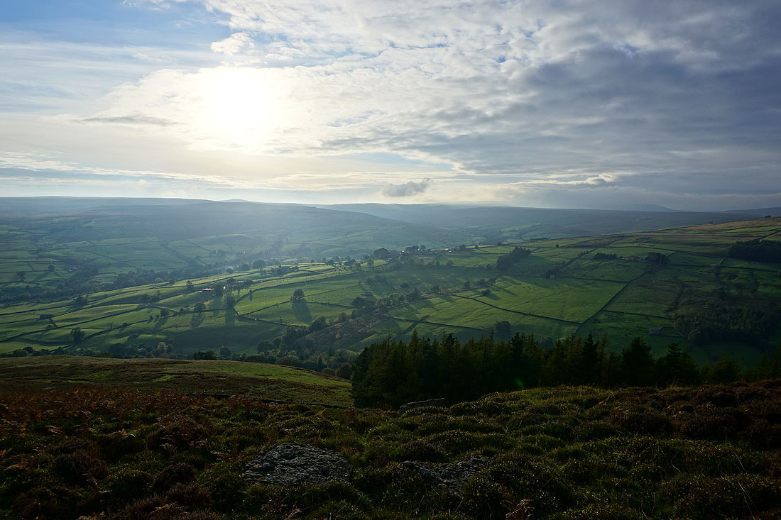
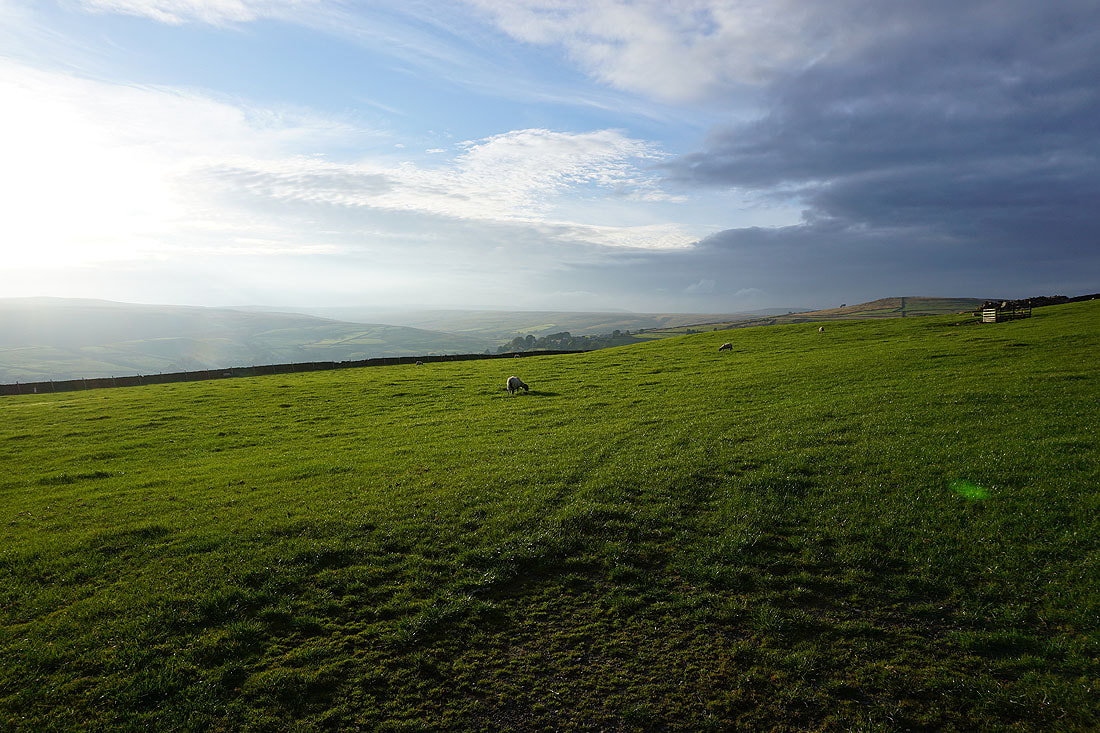
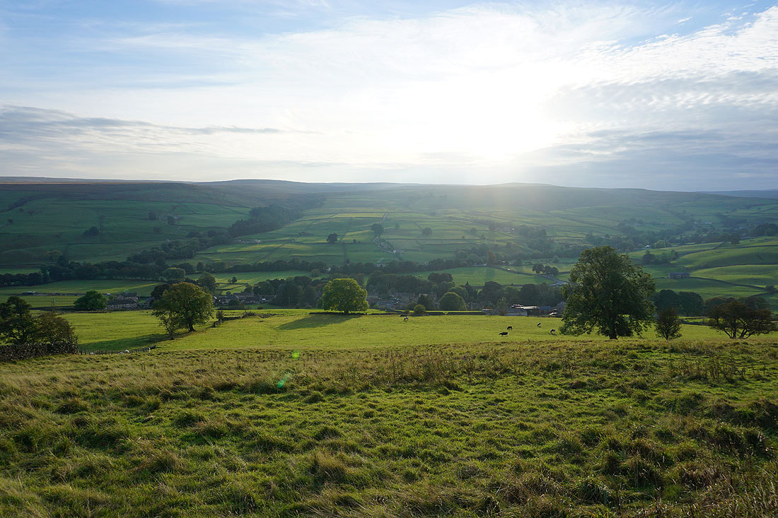
Late afternoon sunshine across Nidderdale..
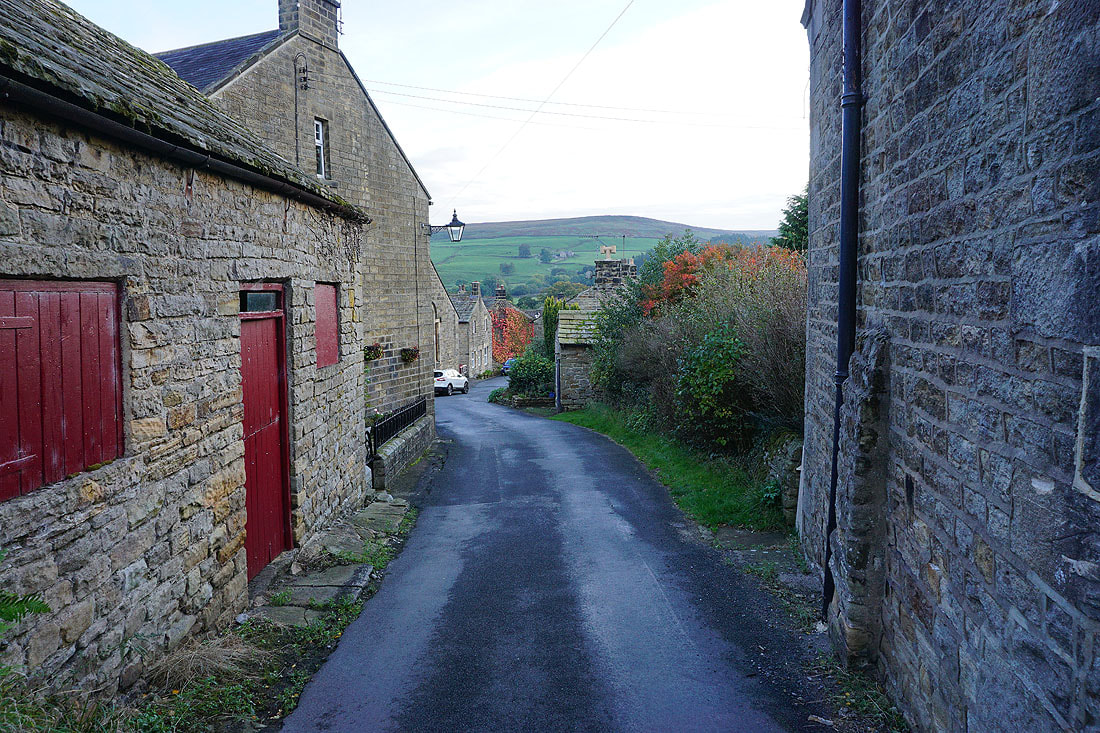
Heading back down to Lofthouse..
