16th September 2016 - Brennandale & Whins Brow
Walk Details
Distance walked: 8.7 miles
Total ascent: 1584 ft
OS map used: OL41 - Forest of Bowland & Ribblesdale
Time taken: 5 hrs
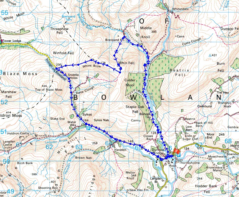
Route description: Dunsop Bridge-Lower Brennand-Brennand Farm-Ouster Rake-Whins Brow-Trough of Bowland-Trough Road-Dunsop Bridge
With today being my last weekday off work I decided to pop out this afternoon and do a walk from Dunsop Bridge in the Forest of Bowland. The route I followed is one that I've done before although I changed my way off Whins Brow by heading down to the Trough of Bowland instead of returning to the bridleway down to Trough Barn. It was very wet underfoot as I made my way from the bridleway up to the trig point, so not wanting to go through it again on the way back I followed the fence down to the Trough. With the ground being that bit steeper it wasn't as boggy. It did mean a bit more road walking though. The cloud from overnight rain took a while to clear this morning but by lunchtime the skies were brightening so that during the afternoon I had sunny spells but with a strong cool wind.
After having a bite to eat in the Puddleducks Tearoom in Dunsop Bridge I set off by taking the bridleway that follows an access road from the post office up the valley of the River Dunsop to some cottages. Here it crosses the river via a footbridge before joining another access road and bridleway that continues up the valley to some waterworks buildings. After crossing the river I turned left and left again into Brennandale to continue along the road to Lower Brennand Farm and to the road end at Brennand Farm. At Brennand Farm I took the Ouster Rake bridleway that heads south up the hillside of Whins Brow and when I reached its top I left it to follow the fence up to the trig point on the top of Whins Brow. After taking in the view from the top I made my way down by the fence to the Trough of Bowland. This left me with a long walk along the Trough road back to Dunsop Bridge.
Total ascent: 1584 ft
OS map used: OL41 - Forest of Bowland & Ribblesdale
Time taken: 5 hrs
Route description: Dunsop Bridge-Lower Brennand-Brennand Farm-Ouster Rake-Whins Brow-Trough of Bowland-Trough Road-Dunsop Bridge
With today being my last weekday off work I decided to pop out this afternoon and do a walk from Dunsop Bridge in the Forest of Bowland. The route I followed is one that I've done before although I changed my way off Whins Brow by heading down to the Trough of Bowland instead of returning to the bridleway down to Trough Barn. It was very wet underfoot as I made my way from the bridleway up to the trig point, so not wanting to go through it again on the way back I followed the fence down to the Trough. With the ground being that bit steeper it wasn't as boggy. It did mean a bit more road walking though. The cloud from overnight rain took a while to clear this morning but by lunchtime the skies were brightening so that during the afternoon I had sunny spells but with a strong cool wind.
After having a bite to eat in the Puddleducks Tearoom in Dunsop Bridge I set off by taking the bridleway that follows an access road from the post office up the valley of the River Dunsop to some cottages. Here it crosses the river via a footbridge before joining another access road and bridleway that continues up the valley to some waterworks buildings. After crossing the river I turned left and left again into Brennandale to continue along the road to Lower Brennand Farm and to the road end at Brennand Farm. At Brennand Farm I took the Ouster Rake bridleway that heads south up the hillside of Whins Brow and when I reached its top I left it to follow the fence up to the trig point on the top of Whins Brow. After taking in the view from the top I made my way down by the fence to the Trough of Bowland. This left me with a long walk along the Trough road back to Dunsop Bridge.
Route map
© Crown copyright. All rights reserved. License number PU 100034184.
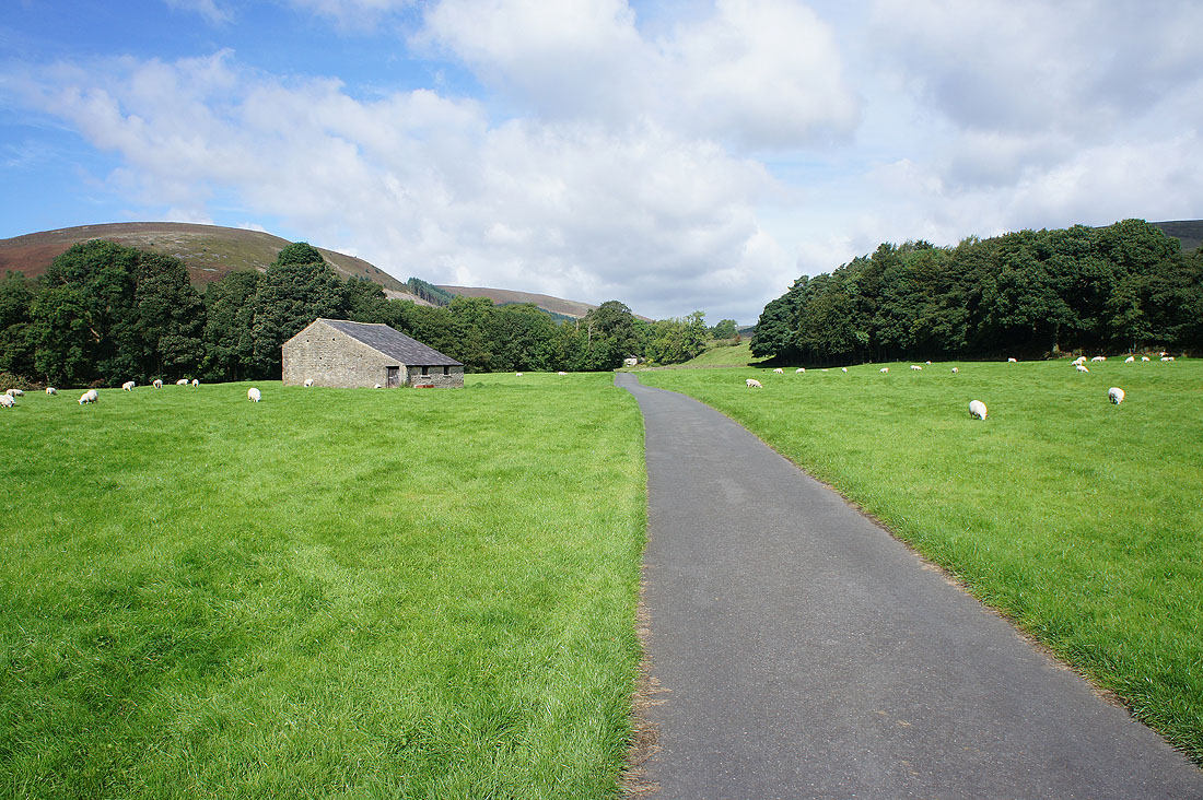
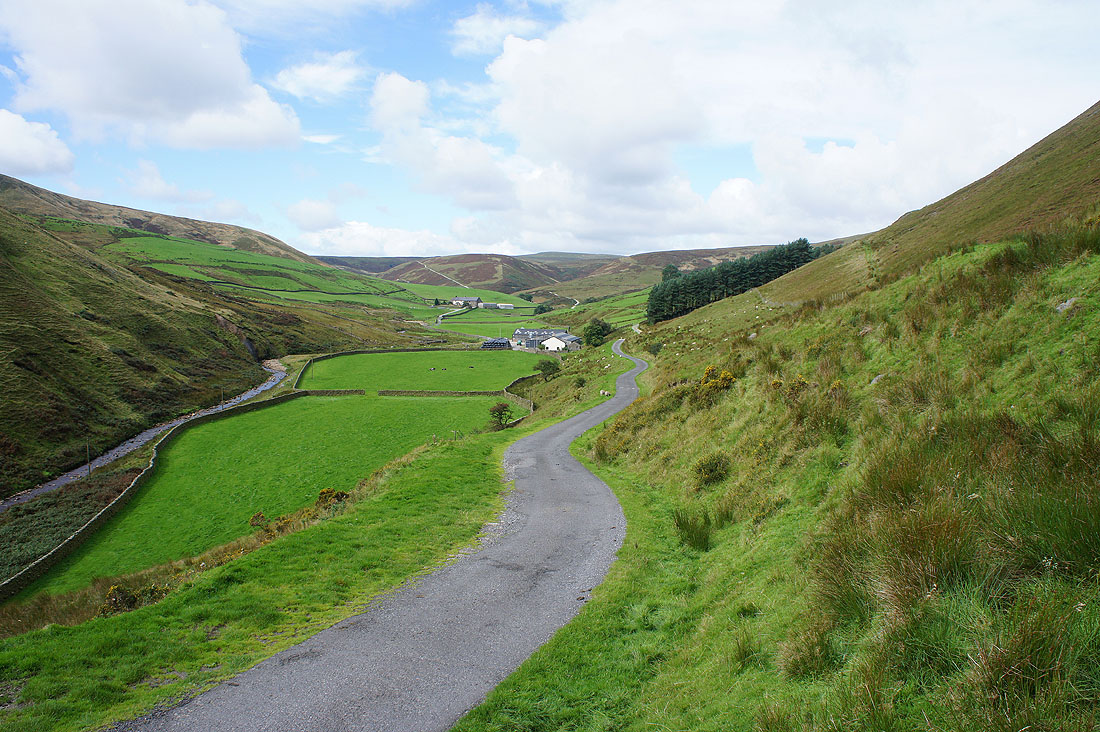
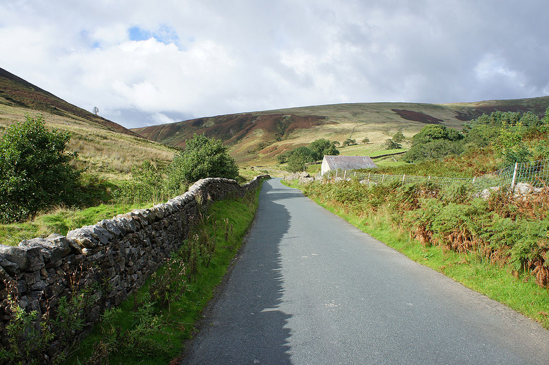
Leaving Dunsop Bridge behind I take the bridleway that follows the private road up the valley of the River Dunsop..
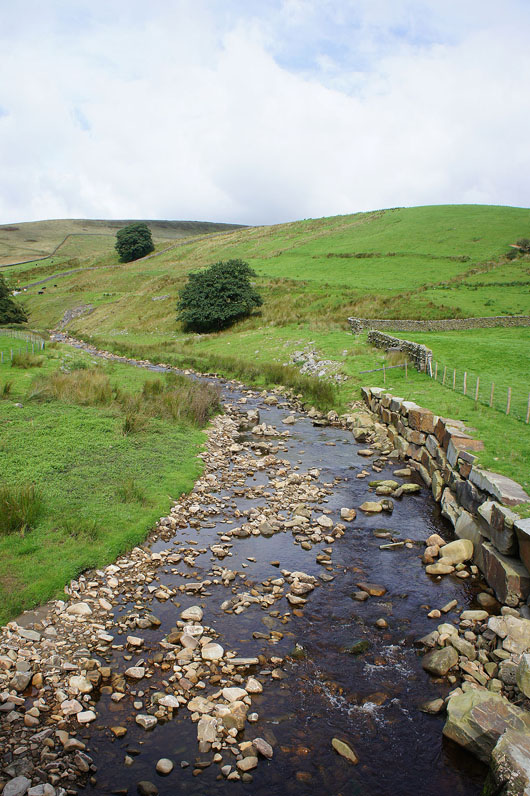
Across the Whitendale River
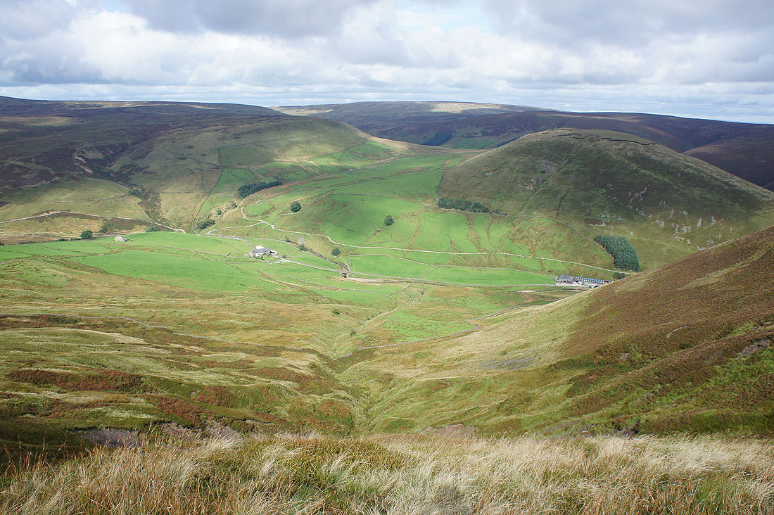
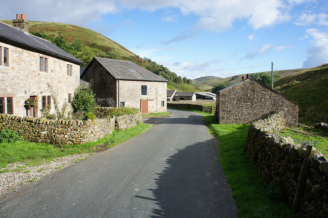
Into Brennandale with its two farms. Lower Brennand closer and Brennand Farm beyond.
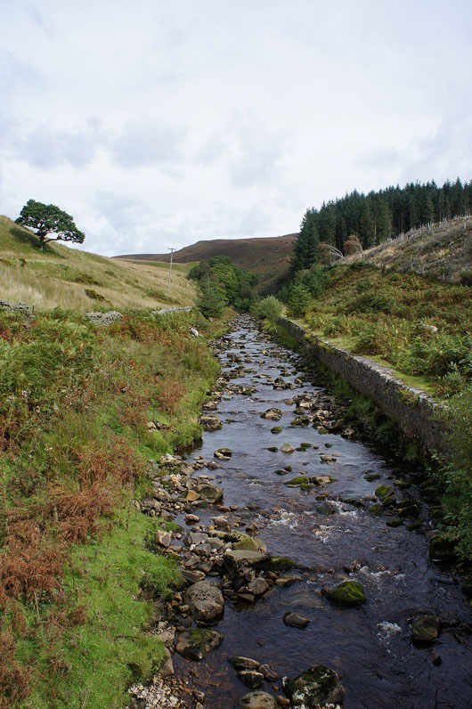
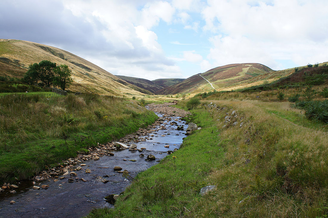
The Brennand River as I near Brennand Farm
I walked past Brennand Farm to the edge of access land to look into the wild upper part of the valley
Back at Brennand Farm and I'm going to take the Ouster Rake bridleway
Brennandale below as I reach the top of the climb up the bridleway
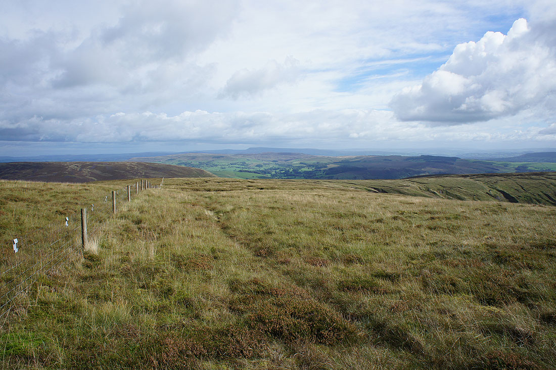
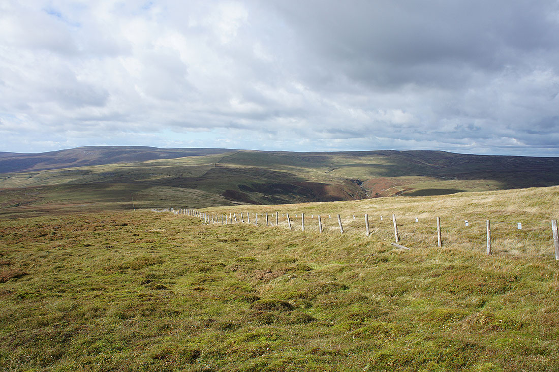
The bridleway was left behind at its summit to follow this fence up to the trig point on Whins Brow. Looking back to a distant Pendle Hill.
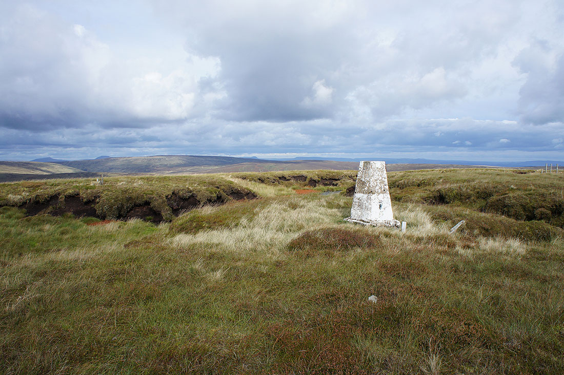
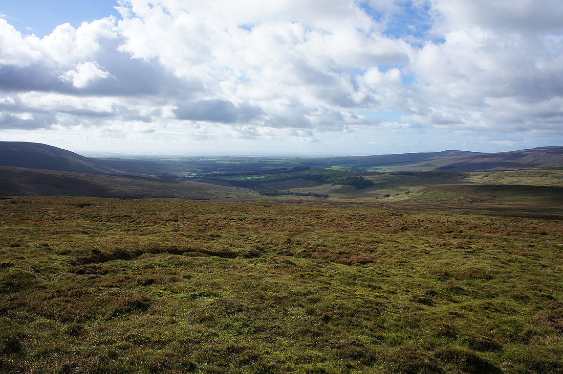
At the trig point on Whins Brow and there's a pretty good view from here. The shadowed tops of Whernside, Ingleborough, Penyghent and Fountains Fell can be seen in the distance beyond the nearby White Hill and Baxton Fell.
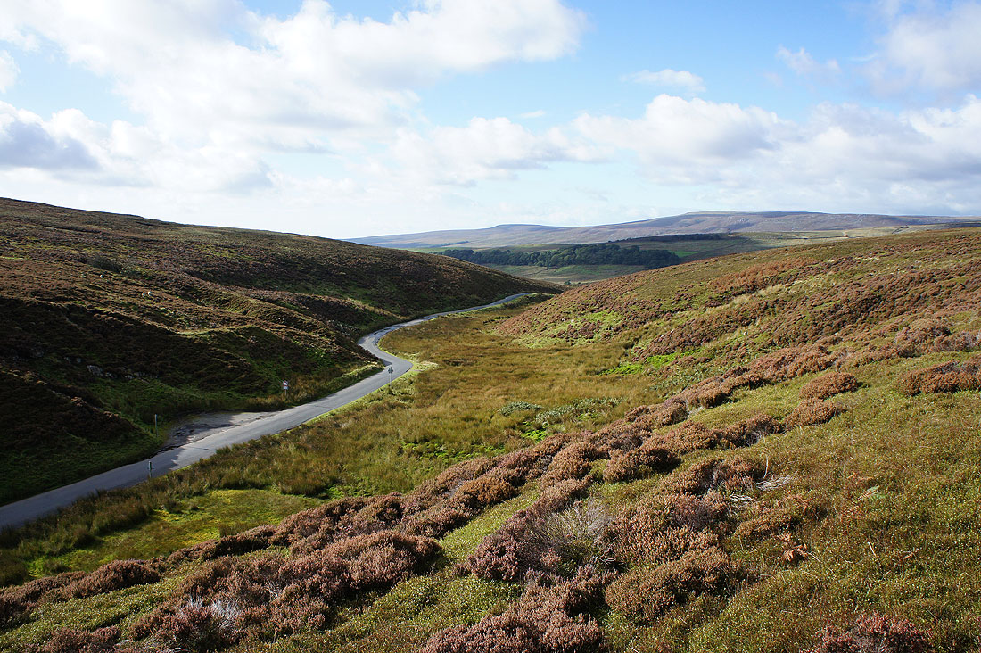
The valley of Losterdale carries the Trough road
To the north lie the highest and third highest summits in the Forest of Bowland, Ward's Stone and Wolfhole Crag
Wyresdale and the coast to the west
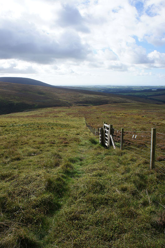
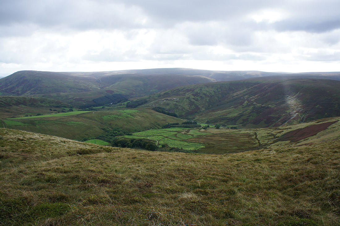
Following a fence down to the Trough of Bowland. I used the gate to cross to the other side.
The Trough Road heads north to Wyresdale
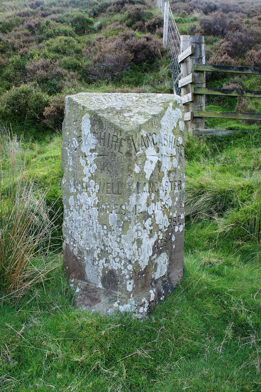
The Grey Stone of Trough at the summit of the road marked the county boundary between Lancashire and Yorkshire until they fiddled with it in 1974.
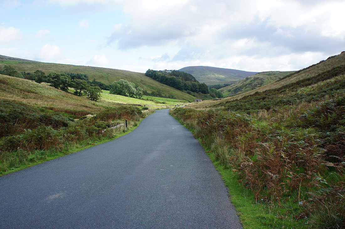
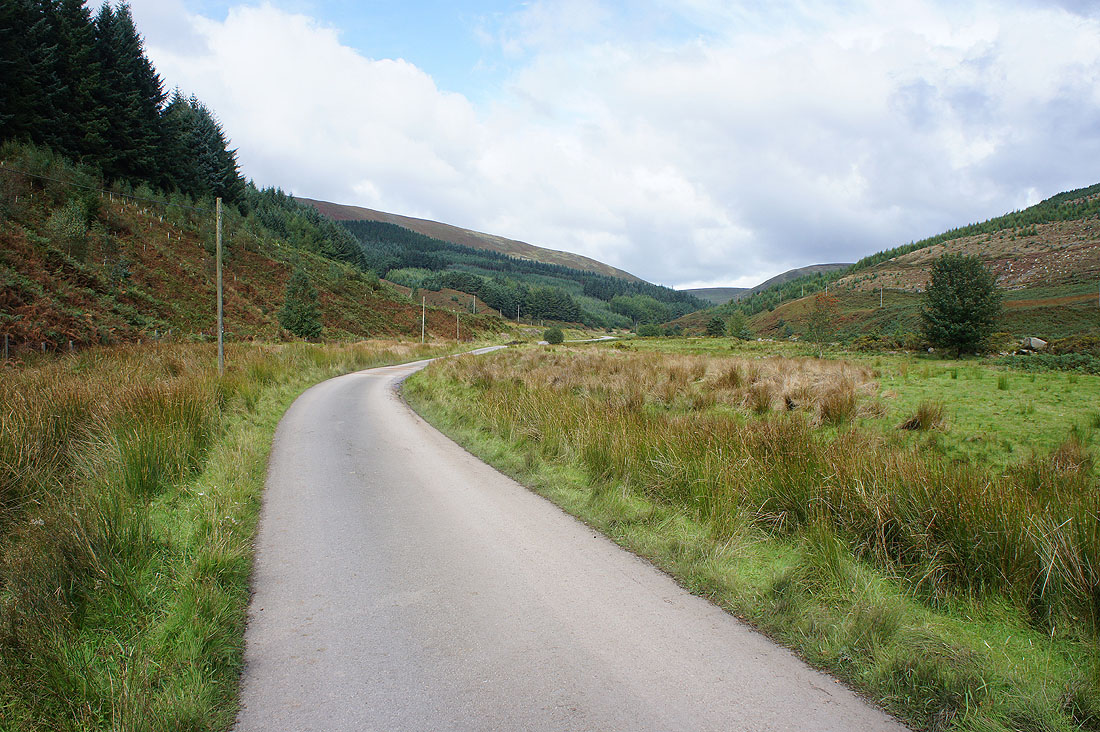
A walk down the road back to Dunsop Bridge to finish with. It's fairly quiet though.
Looking back as I pass Trough Barn
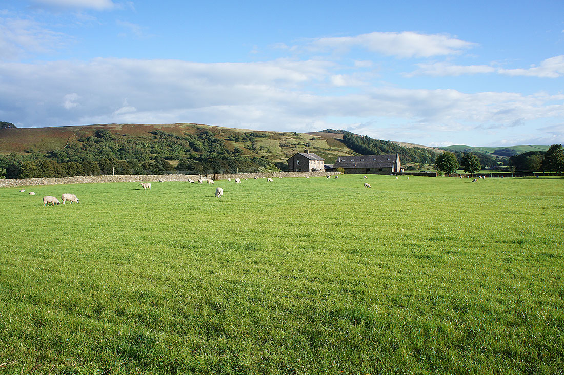
Past Sykes Farm
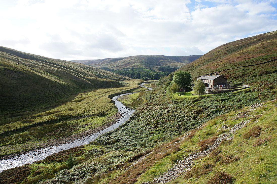
I really liked this view of Langden Brook winding its way past the Bowland Mountain Rescue Centre
Hodder Bank Fell behind Root Hill Farm from just outside Dunsop Bridge
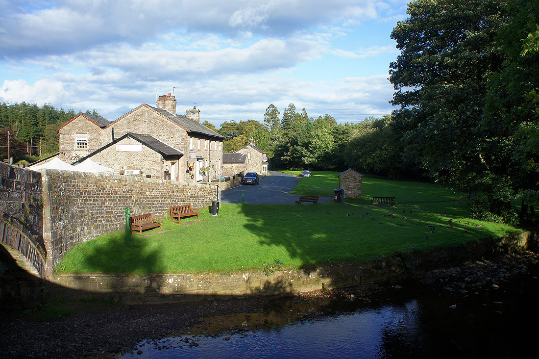
A lovely end to the afternoon as I arrive back in Dunsop Bridge