16th September 2021 - Great Whernside
Walk Details
Distance walked: 10.0 miles
Total ascent: 2881 ft
OS map used: OL30 - Yorkshire Dales, Northern & Central areas
Time taken: 6 hrs
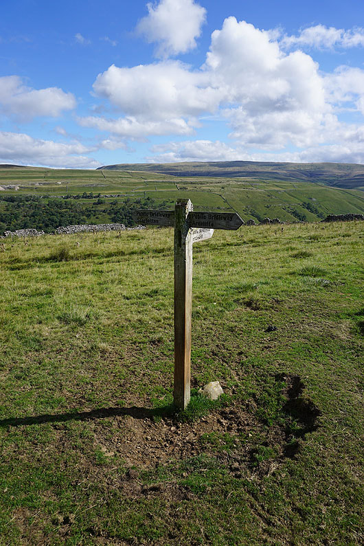
Route description: Kettlewell-Middlesmoor Pasture-Starbotton-Starbotton Cam Road-Starbotton Road-Hunters Sleets-Blackfell Top-Great Whernside-Hag Dyke Hostel-Kettlewell
I decided to head to Kettlewell for today's walk. I've not visited the summit of Great Whernside yet this year, and with the promise of a fine early autumn day with sunny spells and great visibility I thought today was as good a time as any. To make the route a bit different to any that I've done before I came up with an alternative way of getting from Kettlewell to Starbotton instead of taking the Dales Way. The path up onto Middlesmoor Pasture from Kettlewell and the bridleway down to Starbotton gave me some fantastic views of Wharfedale. The forecast proved to be accurate with lots of warm sunshine, and with great visibility I enjoyed fantastic all round views from the summit of Great Whernside, which was the only place where it felt chilly enough for me to feel the need to put a fleece on. Before setting off I paid the Cottage Tea Room a visit for something to eat and drink and to pick up some provisions.
From the car park in Kettlewell I crossed the bridge over the River Wharfe and took the track on the right. This was soon left for a footpath up through Gate Cote Scar and onto Middlesmoor Pasture, and once there I followed the wall north along the top of the moor until I reached the bridleway down to Starbotton. The bridleway took me east down the hillside and through woodland to the footbridge over the River Wharfe, which I crossed to reach the village of Starbotton. I then made my way through Starbotton and onto the track of Starbotton Cam Road, which I followed up onto the hillside and then east to the bridleway of Starbotton Road, which took me east to Hunters Sleets and the road from Kettlewell to Coverdale. Once across the road I took the footpath across Little Hunters Sleets and up the slopes of Great Whernside, taking in Nidd Head and Blackfell Top before reaching the trig point on the summit of Great Whernside. After taking in the view I took the path west down to the Hag Dyke Hostel, then from there the footpath down the hillside above Dowber Gill was followed down to Kettlewell, and a walk through the village took me back to the car park.
Total ascent: 2881 ft
OS map used: OL30 - Yorkshire Dales, Northern & Central areas
Time taken: 6 hrs
Route description: Kettlewell-Middlesmoor Pasture-Starbotton-Starbotton Cam Road-Starbotton Road-Hunters Sleets-Blackfell Top-Great Whernside-Hag Dyke Hostel-Kettlewell
I decided to head to Kettlewell for today's walk. I've not visited the summit of Great Whernside yet this year, and with the promise of a fine early autumn day with sunny spells and great visibility I thought today was as good a time as any. To make the route a bit different to any that I've done before I came up with an alternative way of getting from Kettlewell to Starbotton instead of taking the Dales Way. The path up onto Middlesmoor Pasture from Kettlewell and the bridleway down to Starbotton gave me some fantastic views of Wharfedale. The forecast proved to be accurate with lots of warm sunshine, and with great visibility I enjoyed fantastic all round views from the summit of Great Whernside, which was the only place where it felt chilly enough for me to feel the need to put a fleece on. Before setting off I paid the Cottage Tea Room a visit for something to eat and drink and to pick up some provisions.
From the car park in Kettlewell I crossed the bridge over the River Wharfe and took the track on the right. This was soon left for a footpath up through Gate Cote Scar and onto Middlesmoor Pasture, and once there I followed the wall north along the top of the moor until I reached the bridleway down to Starbotton. The bridleway took me east down the hillside and through woodland to the footbridge over the River Wharfe, which I crossed to reach the village of Starbotton. I then made my way through Starbotton and onto the track of Starbotton Cam Road, which I followed up onto the hillside and then east to the bridleway of Starbotton Road, which took me east to Hunters Sleets and the road from Kettlewell to Coverdale. Once across the road I took the footpath across Little Hunters Sleets and up the slopes of Great Whernside, taking in Nidd Head and Blackfell Top before reaching the trig point on the summit of Great Whernside. After taking in the view I took the path west down to the Hag Dyke Hostel, then from there the footpath down the hillside above Dowber Gill was followed down to Kettlewell, and a walk through the village took me back to the car park.
Route map
© Crown copyright. All rights reserved. License number PU 100034184.
Taking the path up onto Middlesmoor Pasture
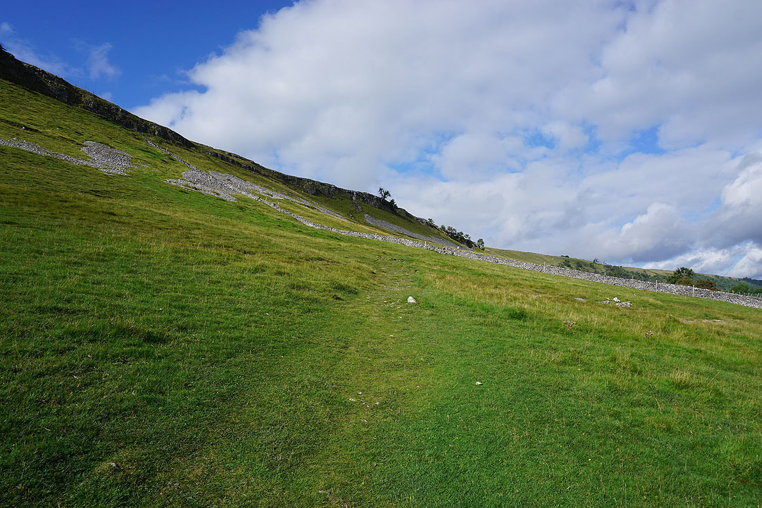
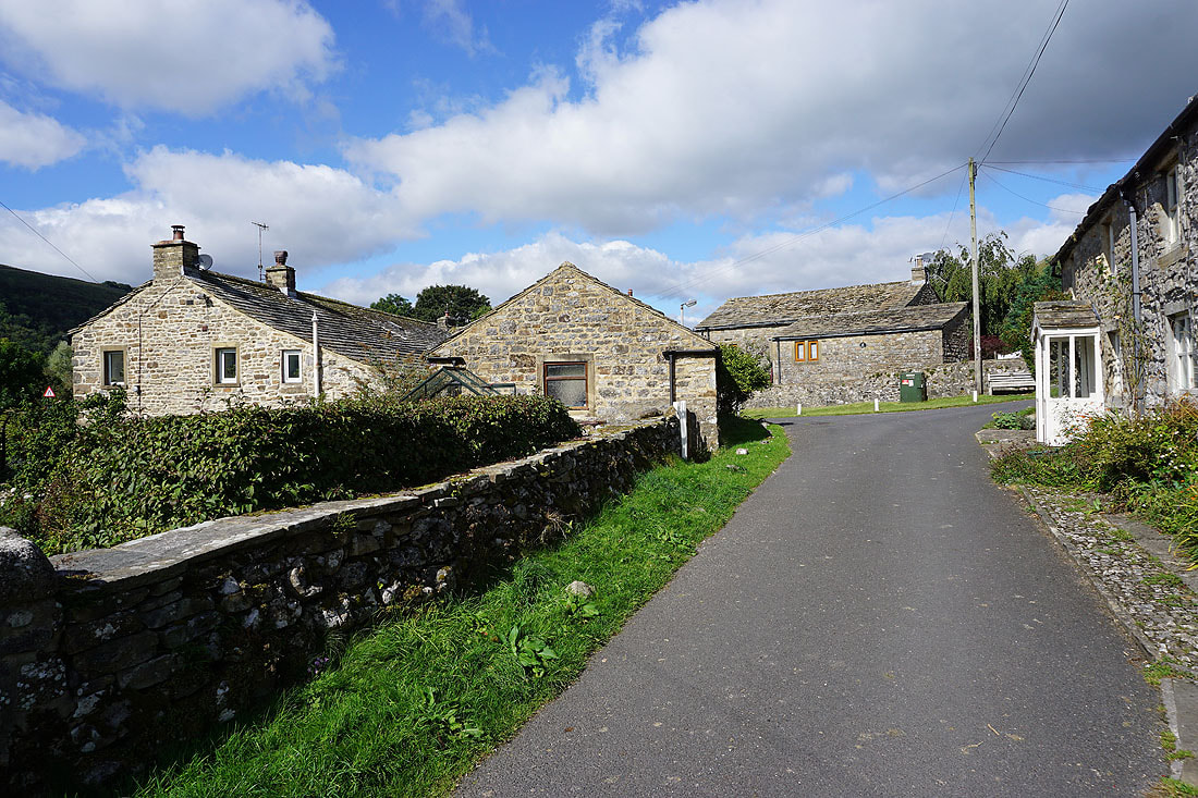
Looking back down on Kettlewell
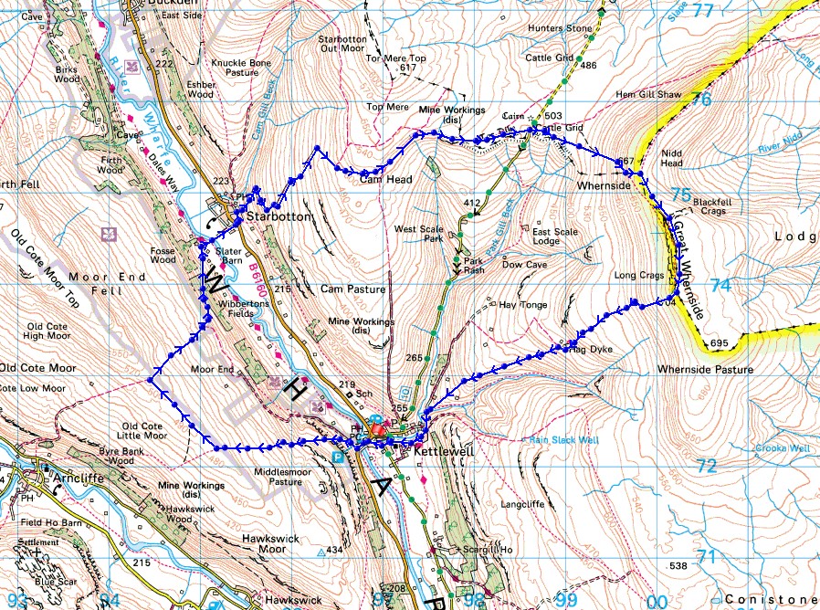
I get a great view of upper Wharfedale as the path makes its way up through Gate Cote Scar..
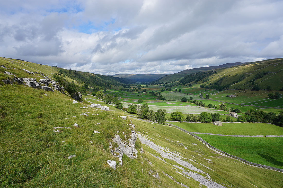
Buckden Pike rises on the other side of Wharfedale
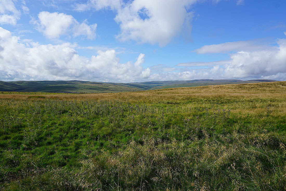
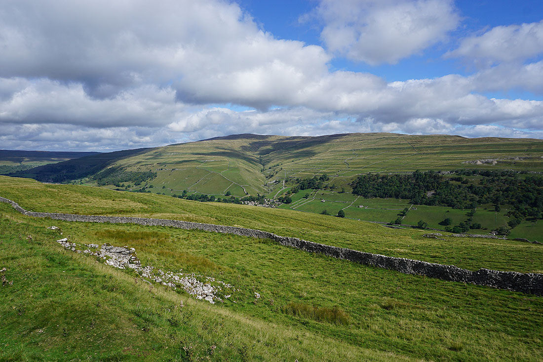
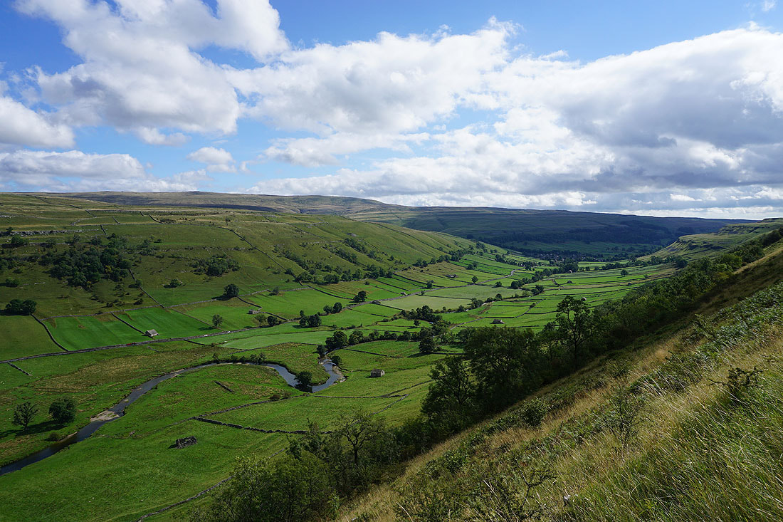
Great Whernside with Kettlewell below as I reach Middlesmoor Pasture
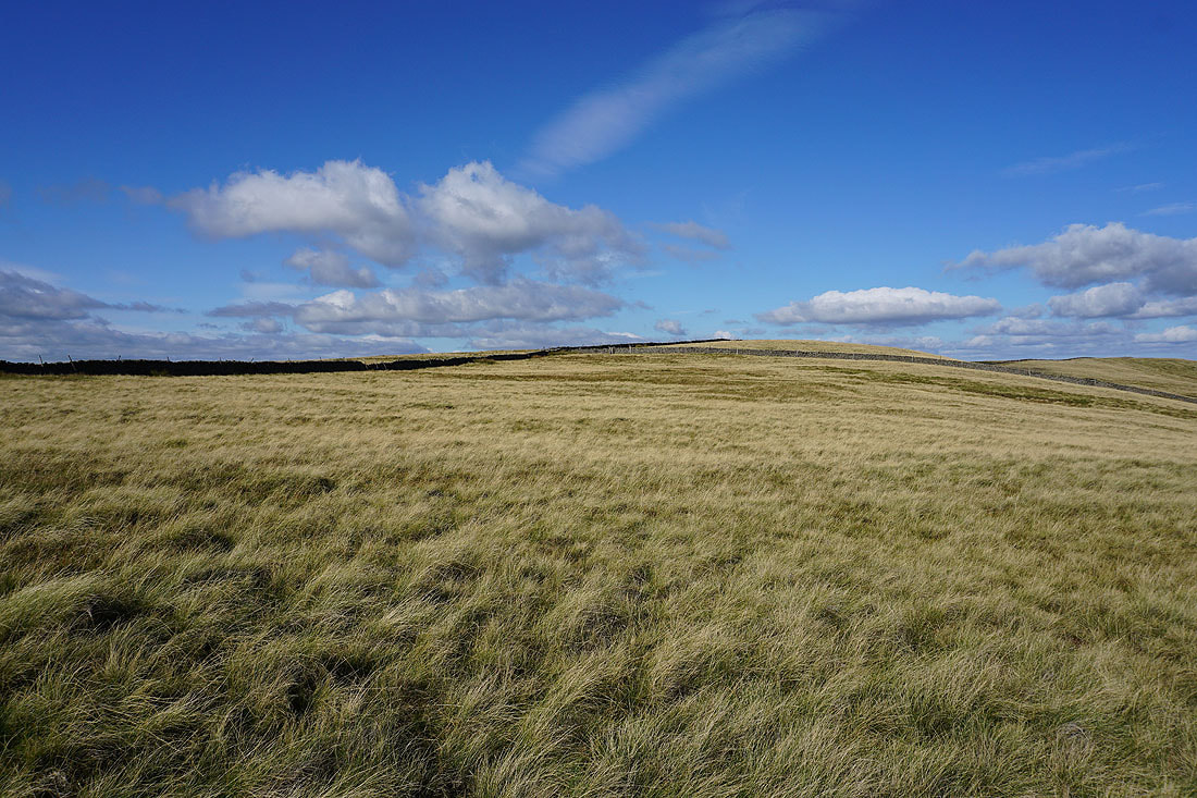
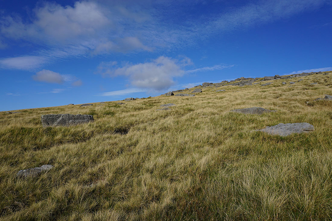
Following the moorland ridge uphill towards Old Cote Moor Top. I won't be on it for long though.
Looking over the wall to take in the view to Parson's Pulpit and Fountains Fell
and to Fountains Fell, Darnbrook Fell and Plover Hill
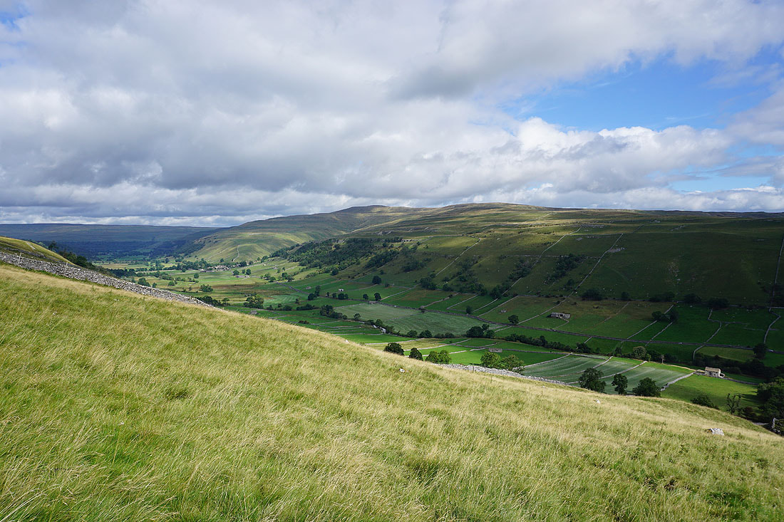
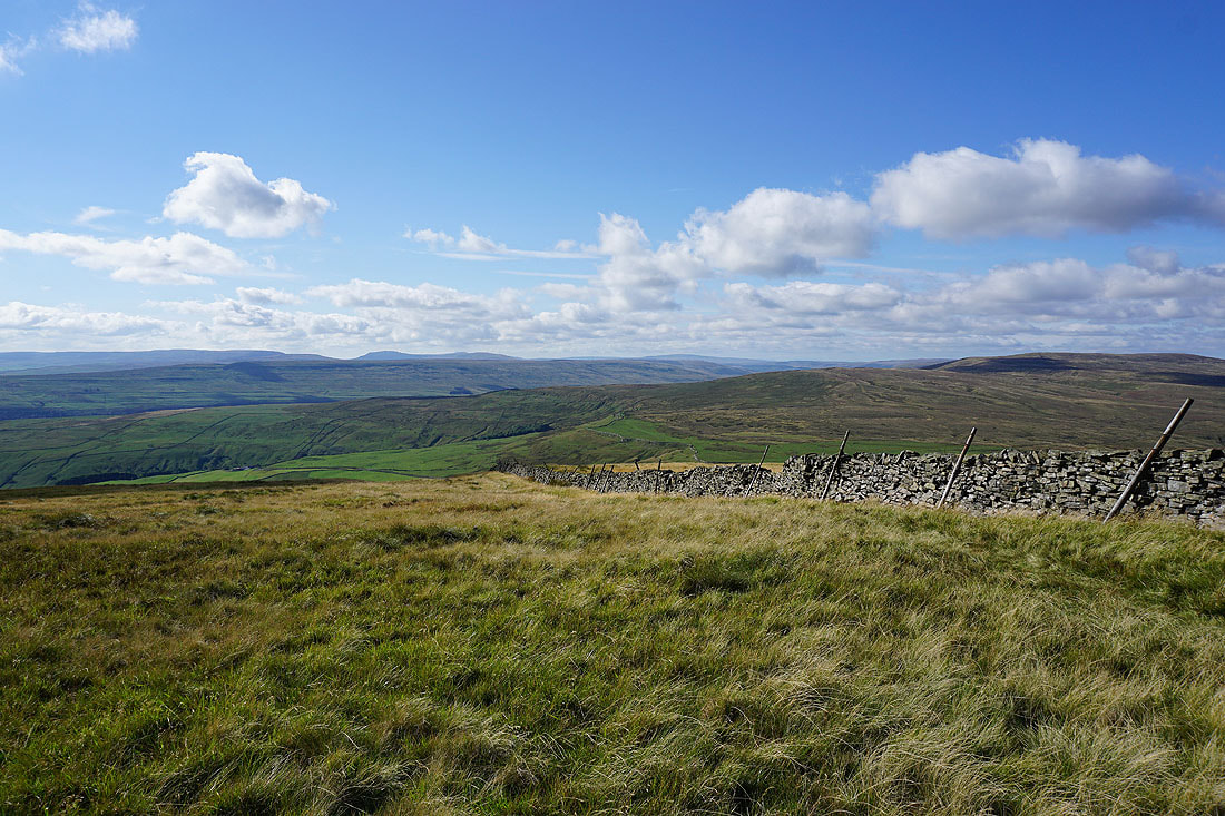
Looking back down Middlesmoor Pasture to Barden Moor in the distance
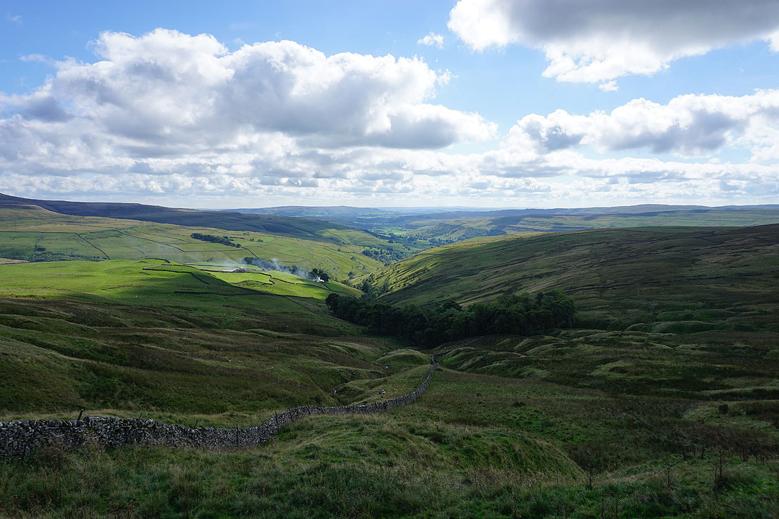
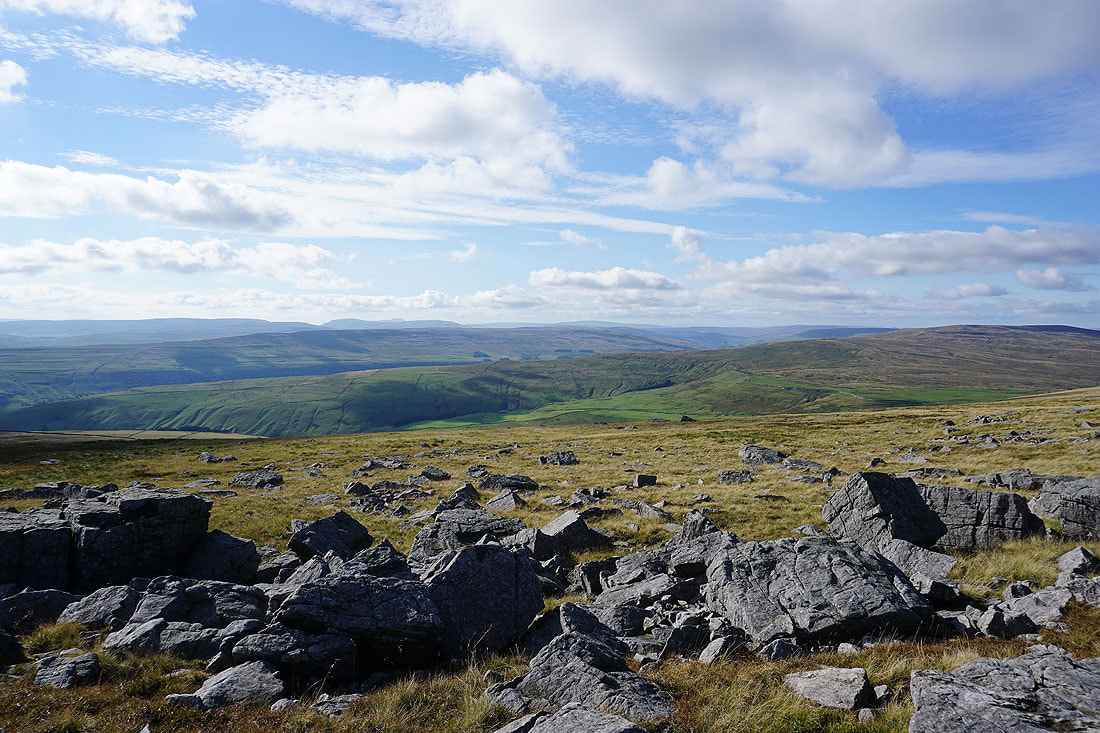
Cam Pasture and Great Whernside as I reach the bridleway down to Starbotton
Buckden Pike on the other side of Wharfedale
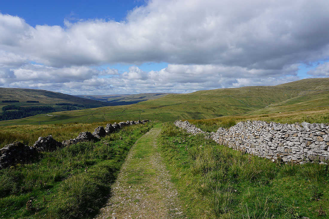
The bridleway up from Kettlewell meets that crossing the moor from Arncliffe to Starbotton
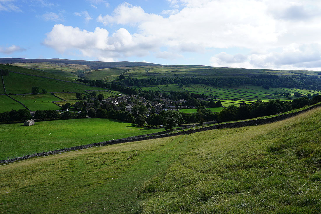
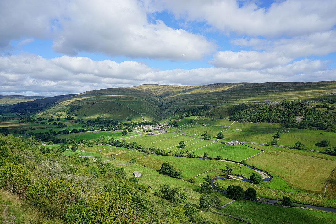
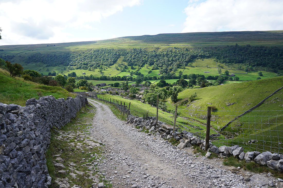
As I follow the bridleway down I'm treated to some fantastic views of Wharfedale. This is a great location for taking in the upper part of the dale....
Crossing fields to the bridge over the River Wharfe..
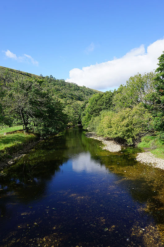
..and the River Wharfe from the footbridge
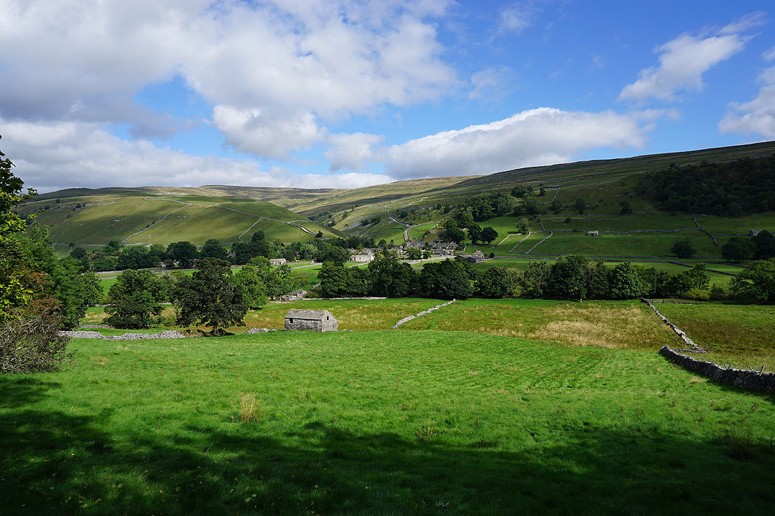
In the village of Starbotton
Looking back down on Starbotton as I head up the track of Starbotton Cam Road
and across the valley of Cam Gill Beck to Knuckle Bone Pasture and Birks Fell
Making my way up Starbotton Cam Road
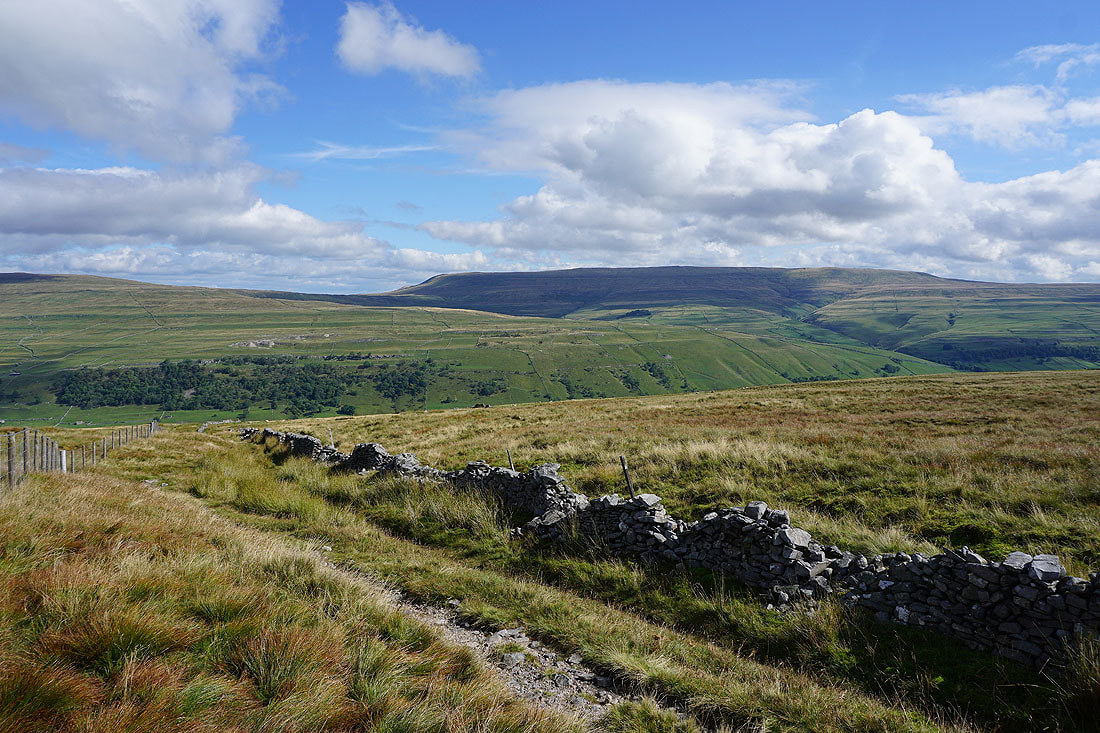
Higher up and the view opens out to include Birks Fell, Yockenthwaite Moor, and Starbotton Fell. The wall on the left provided a convenient place for my lunch stop.
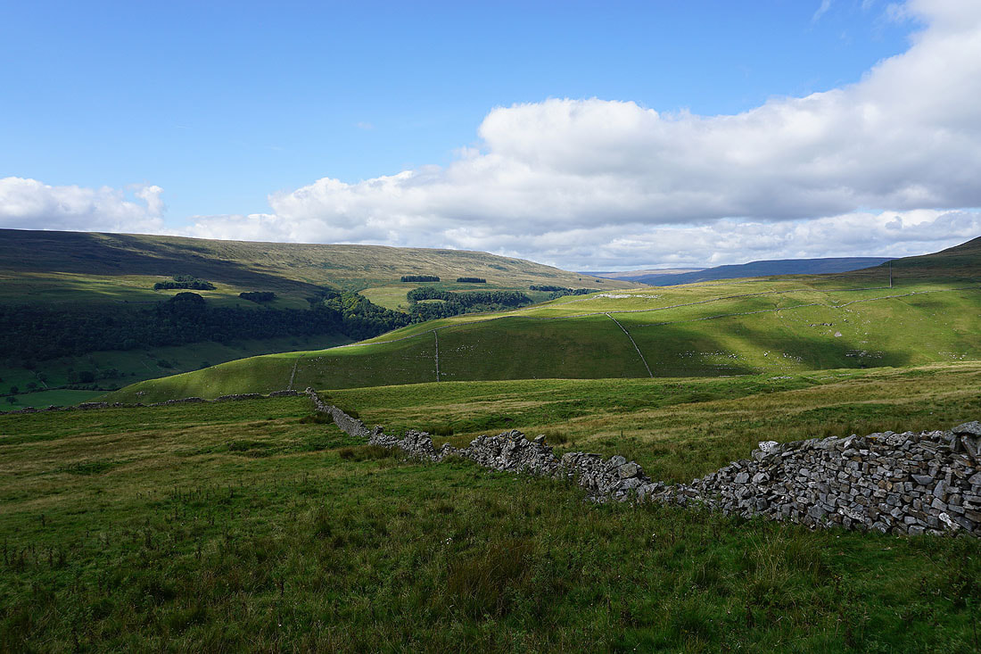
Break had, I move on and take in the view across Cam Pasture and down Wharfedale to Barden Moor
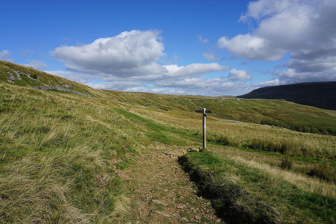
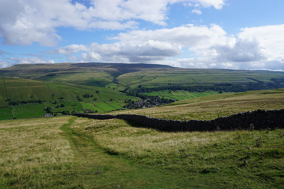
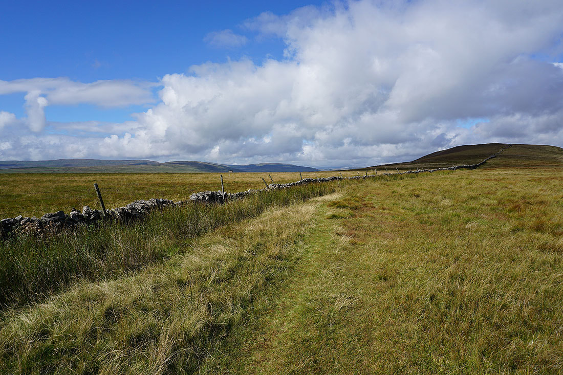
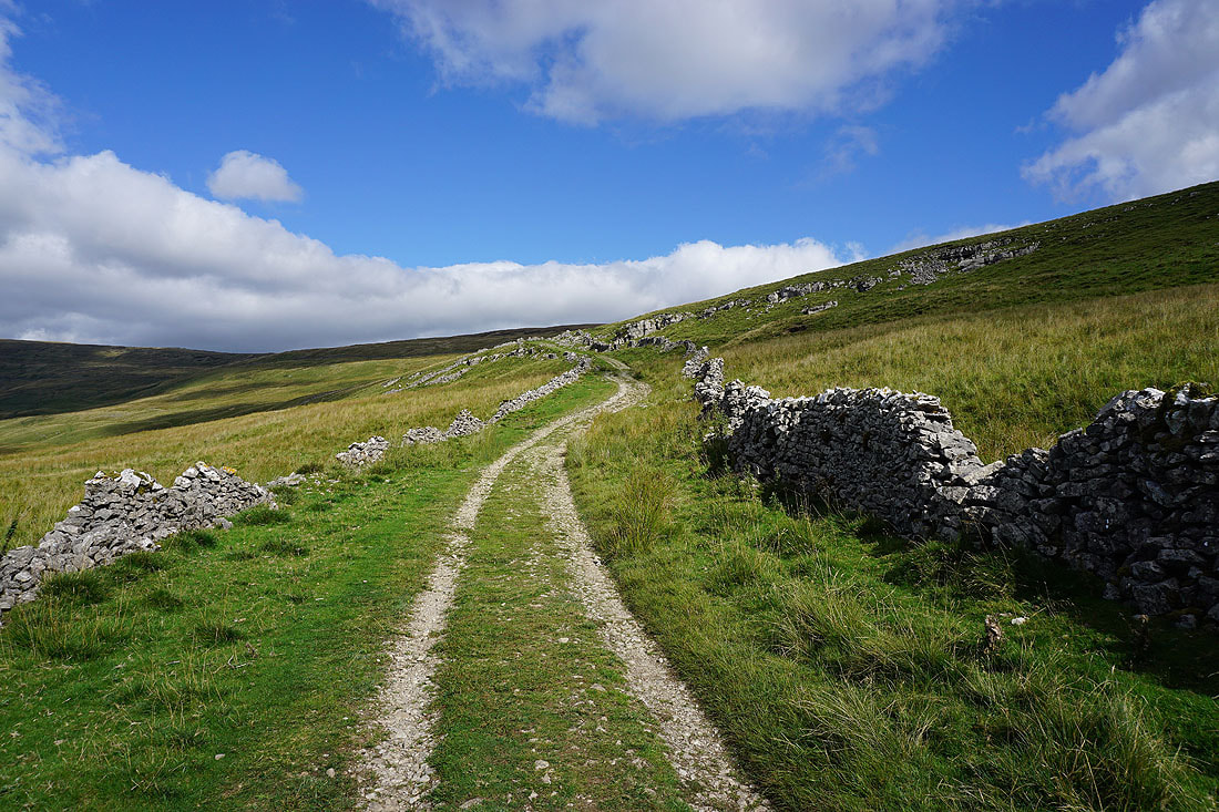
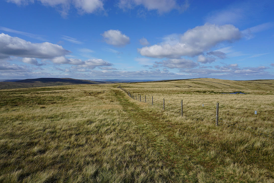
The bridleway up from Kettlewell joins this one and I take the bridleway to Hunters Sleets
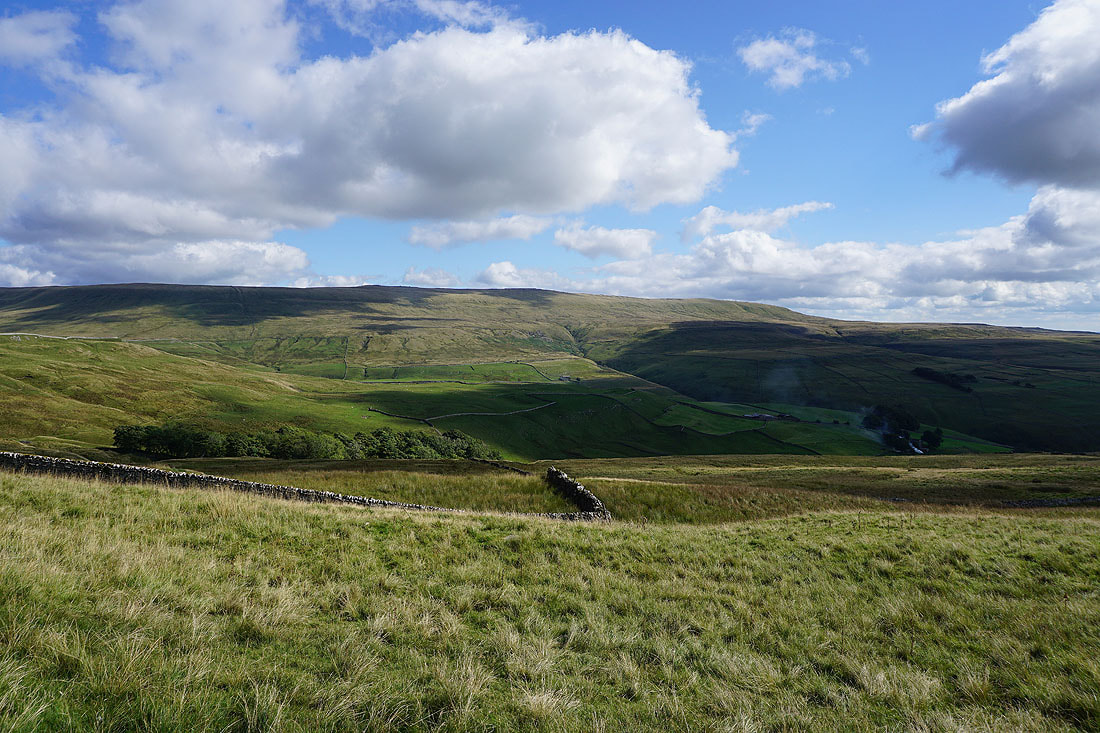
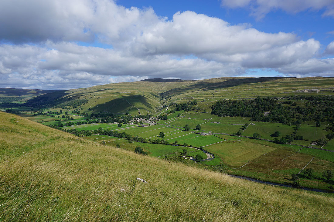
Looking across the valley of Park Gill Beck to Great Whernside
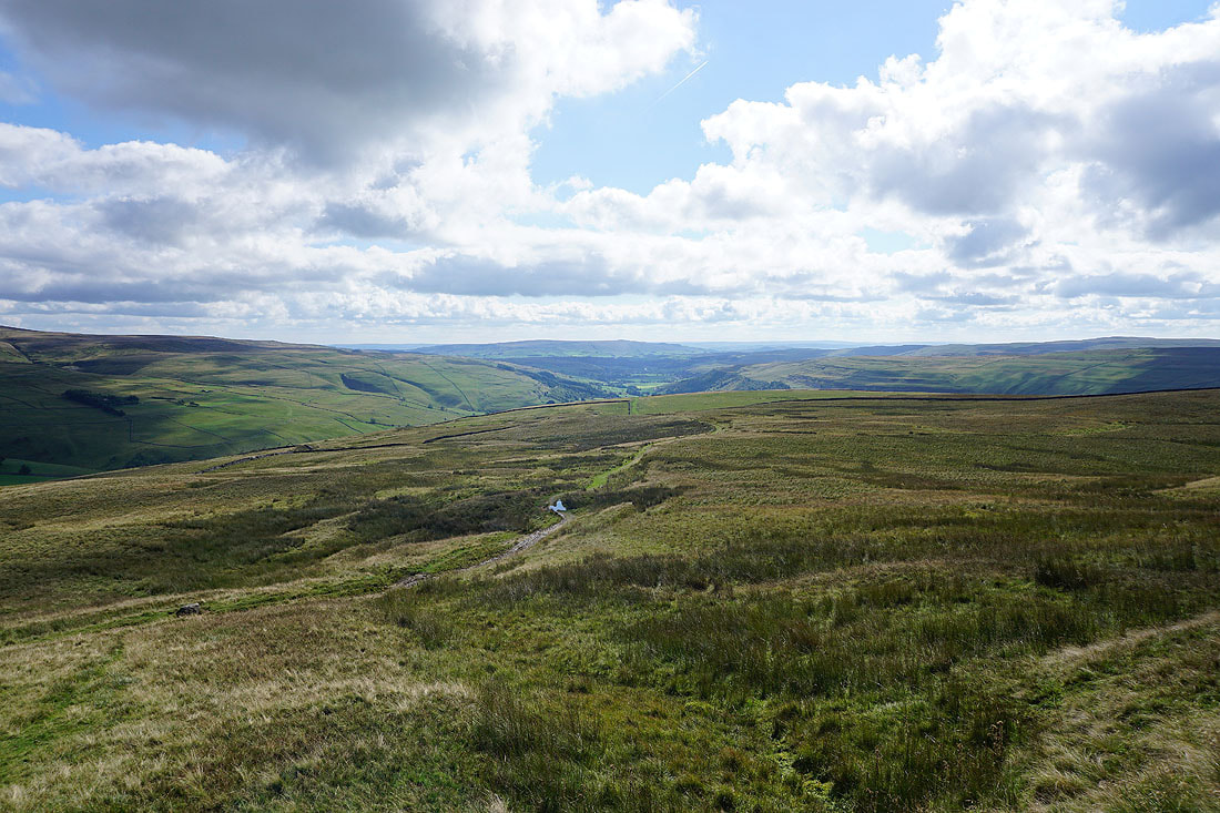
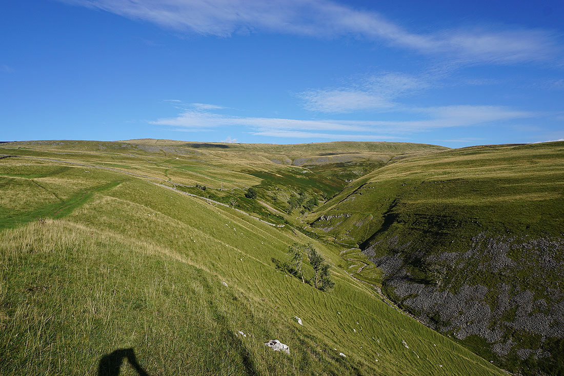
and down Cam Gill into Wharfedale
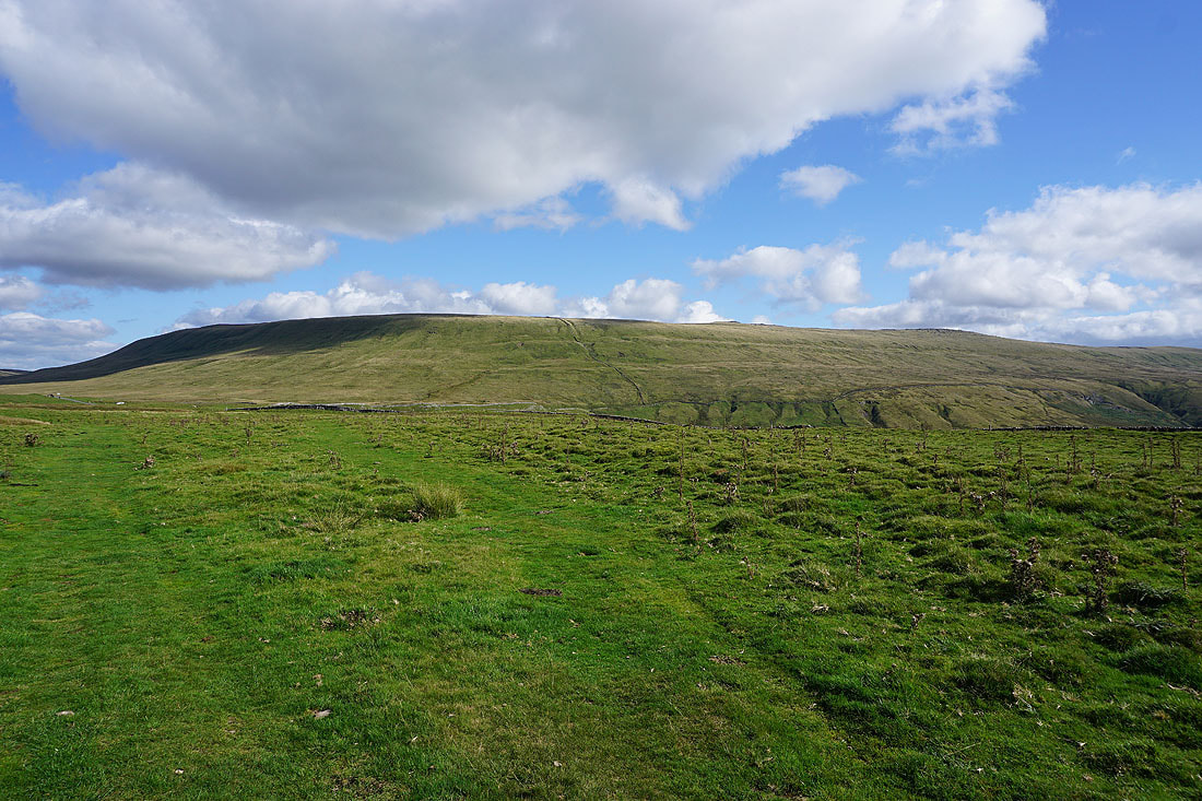
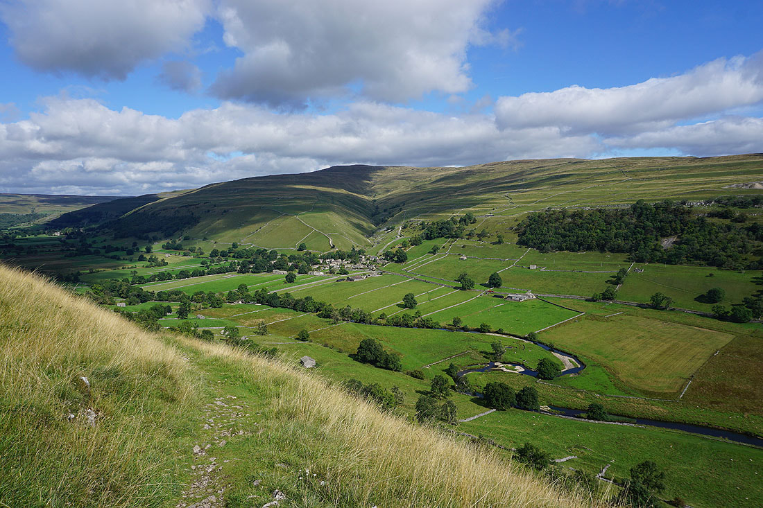
Great Whernside looms large as I reach Hunters Sleets and approach the road from Kettlewell across to Coverdale
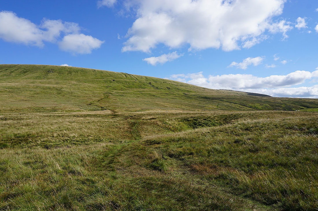
Having crossed the road I start the climb up Great Whernside. The usually boggy ground of Little Hunters Sleets isn't that bad, it has been drier than normal during the past few months.
Looking back down on Hunters Sleets and the limestone escarpment of Tor Dike
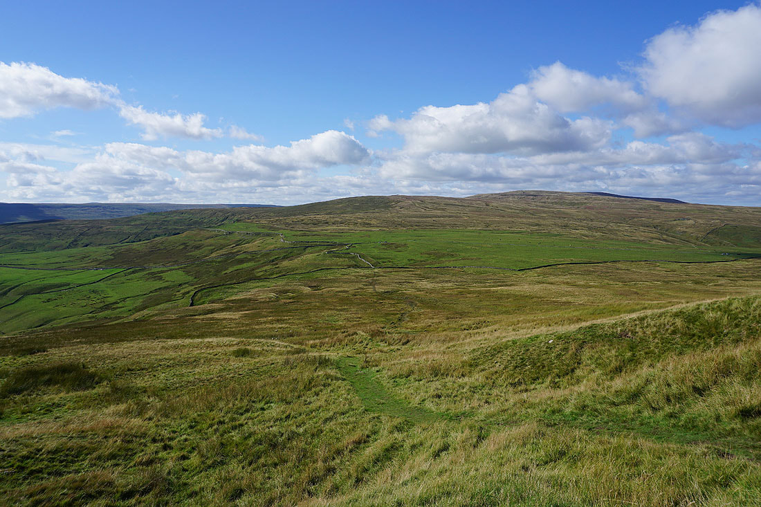
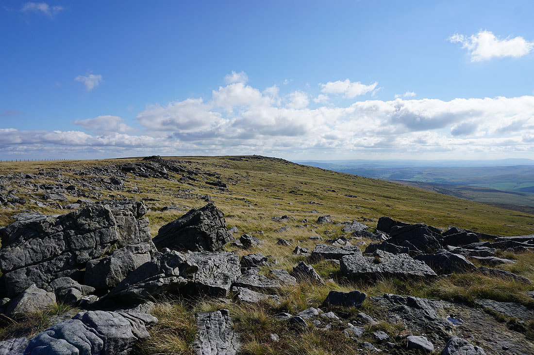
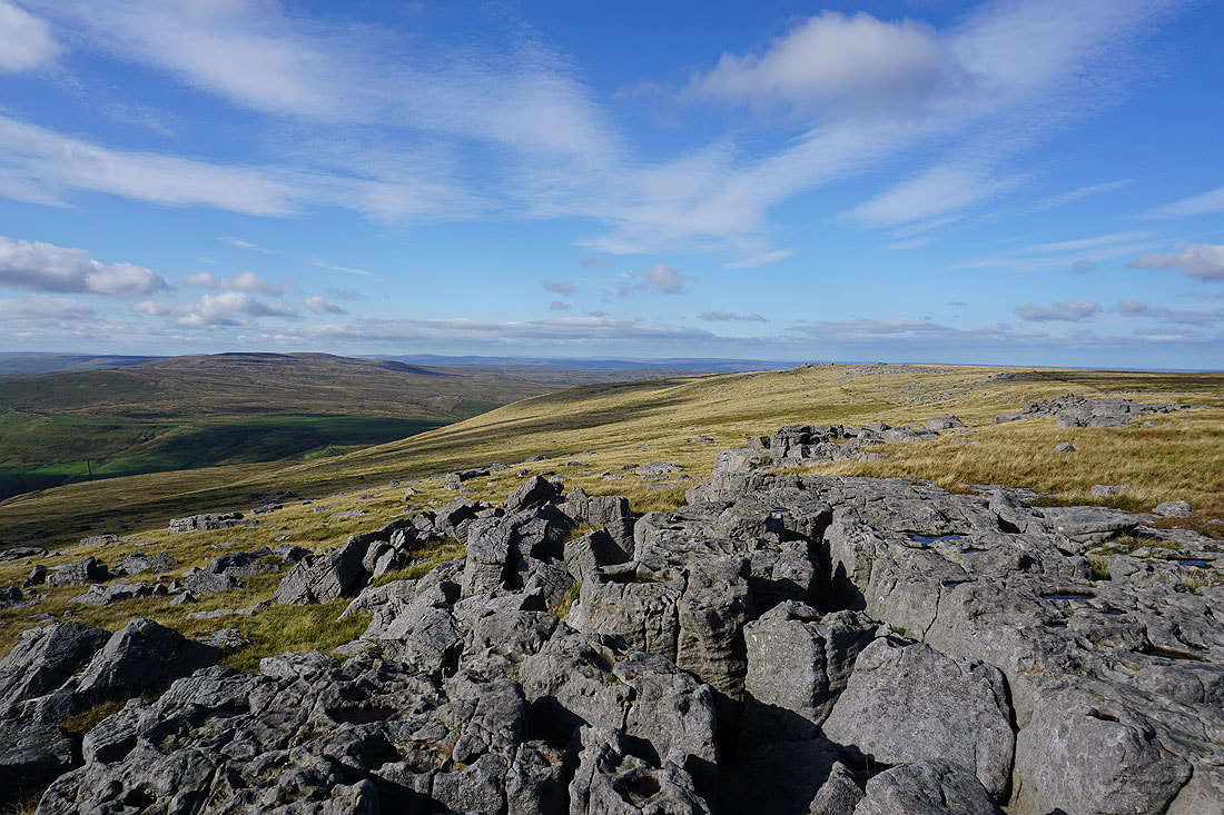
As I reach the top of the climb a great view to the west is revealed, with Fountains Fell, Penyghent, Plover Hill and Whernside in the distance
Sunlit moors beneath blue skies
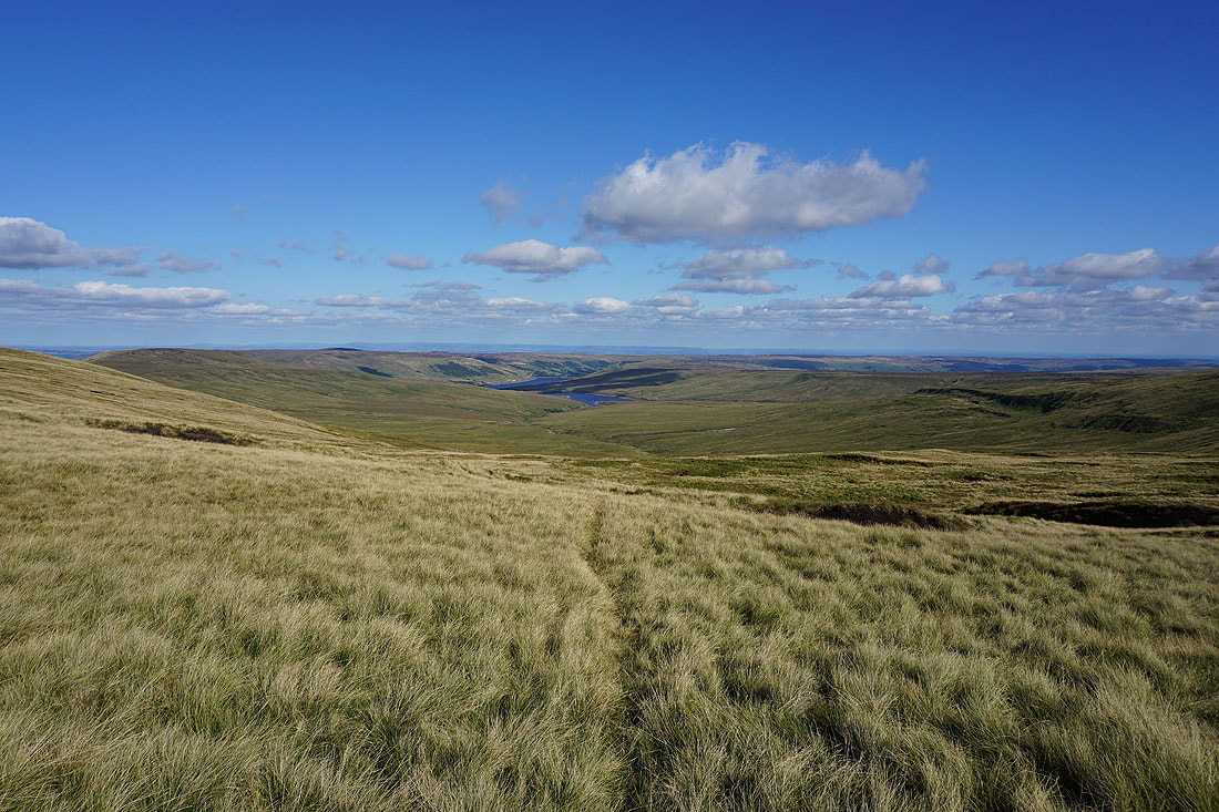
Looking down into Nidderdale to Angram Reservoir and Scar House Reservoir from Nidd Head
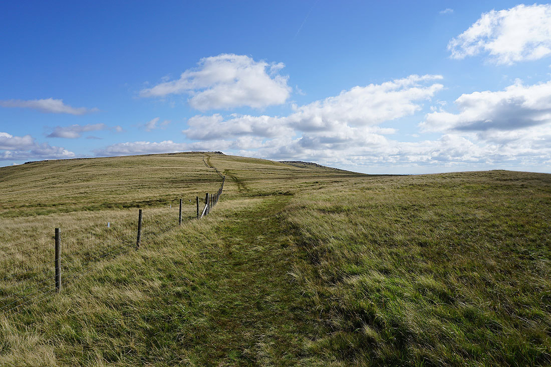
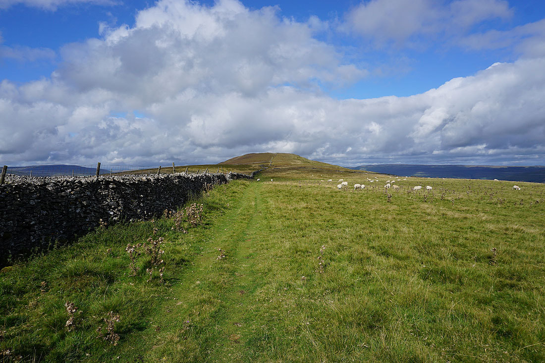
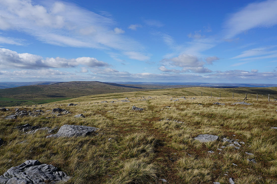
Heading for Blackfell Top with the summit of Great Whernside behind
Looking back with Buckden Pike on the left and the moors around Wensleydale in the distance
The summit of Great Whernside from Blackfell Top
Looking north from Blackfell Top to Buckden Pike, and a distant Great Shunner Fell and Lovely Seat
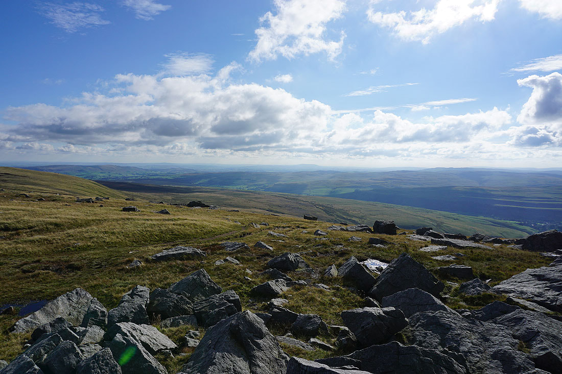
Great views to the west to Fountains Fell, Penyghent, Ingleborough, Plover Hill, Birks Fell and Whernside as I head south to Great Whernside's summit..
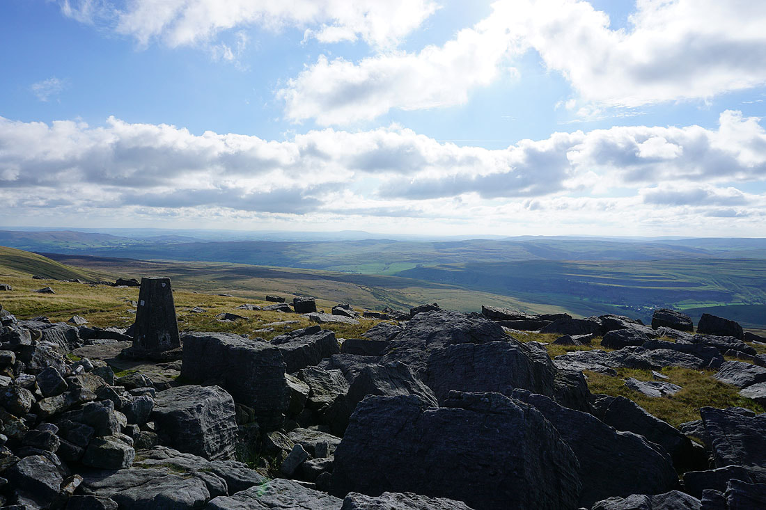
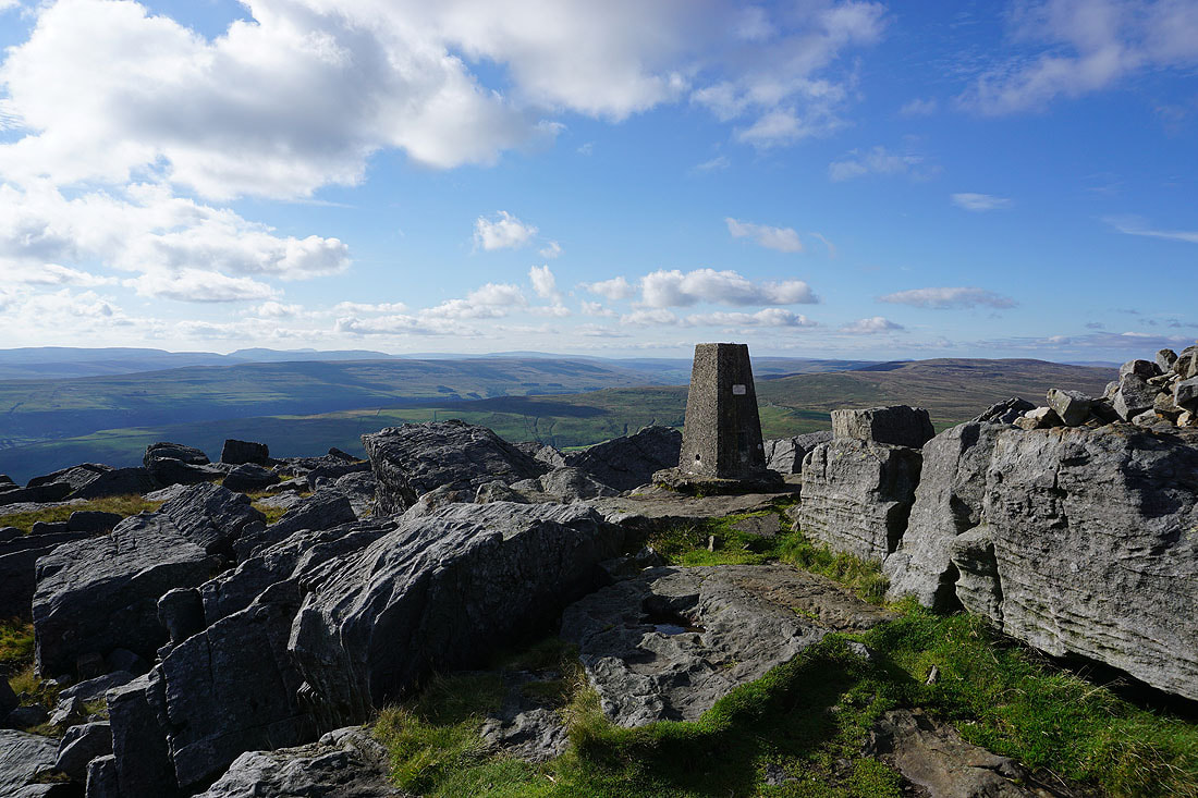
On the summit of Great Whernside. Looking north to Buckden Pike and the distant moors around Wensleydale.
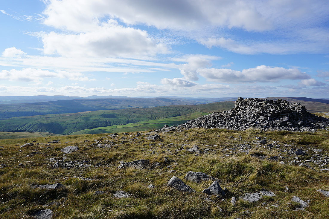
A distant Pendle Hill from the trig point
Fountains Fell, Penyghent, Ingleborough, Plover Hill, Birks Fell, Whernside and Buckden Pike
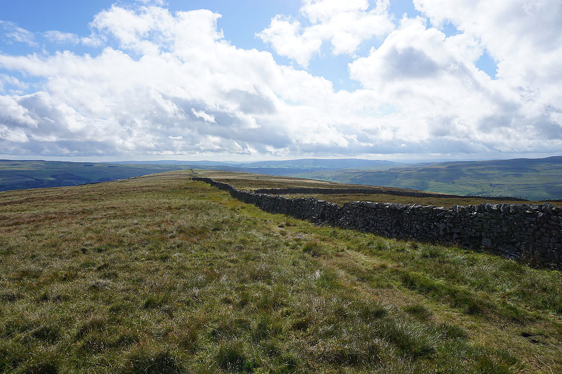
Barden Moor on the left, with Threshfield Moor and Kilnsey Moor on the other side of Wharfedale
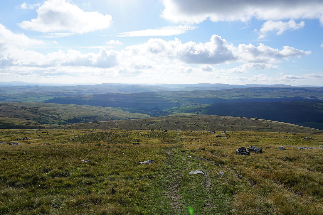
Leaving the summit on the path down to Kettlewell
Late afternoon sunshine on the moors beneath blue skies
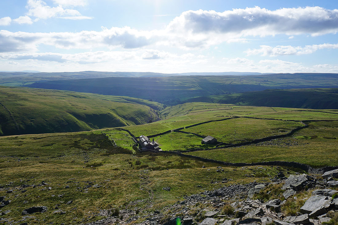
The Hag Dyke Hostel appears below, along with Dowber Gill
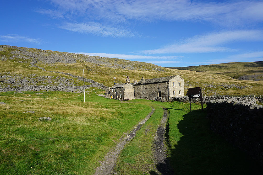
Hag Dyke Hostel
Looking back up to the summit of Great Whernside from beside Dowber Gill
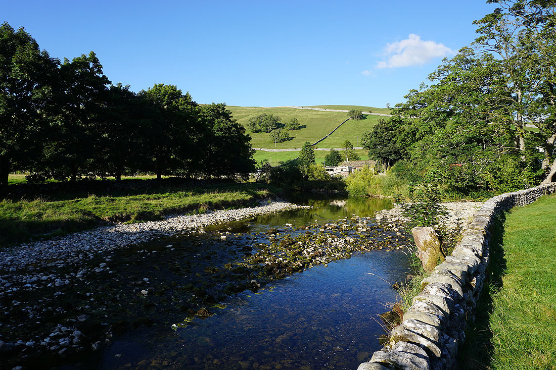
A last shot from beside the River Wharfe back in Kettlewell