16th September 2022 - Middleton Fell
Walk Details
Distance walked: 13.7 miles
Total ascent: 2375 ft
OS map used: OL2 - Yorkshire Dales, Southern & Western areas
Time taken: 7.5 hrs
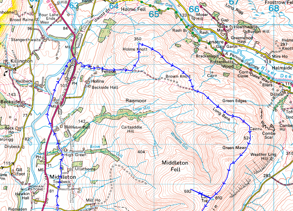
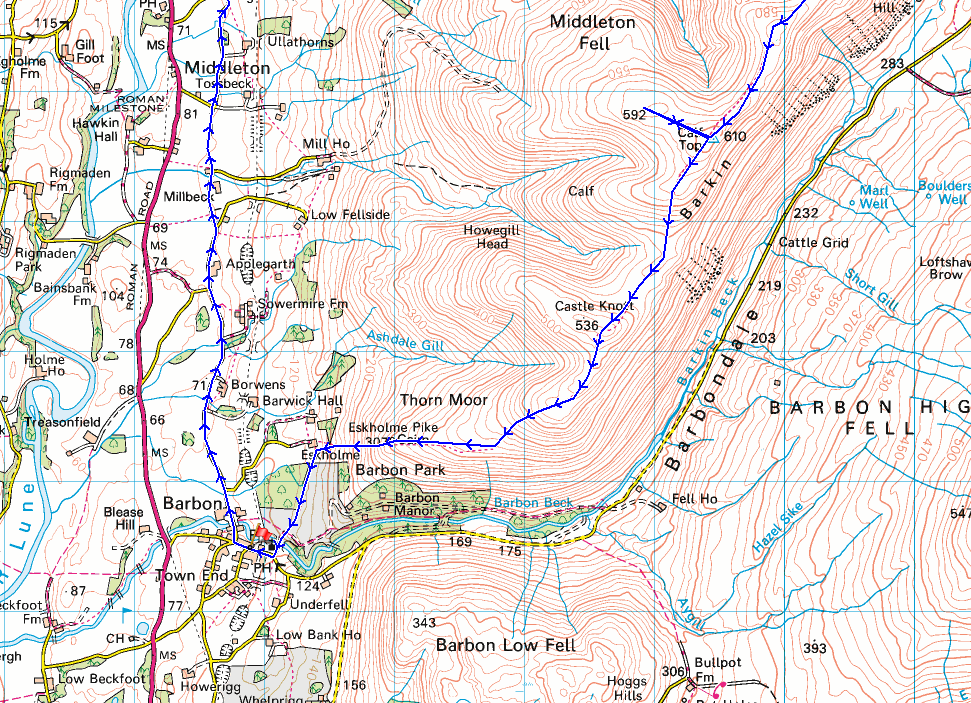
Route description: Barbon-High Road-A683-Low Waterside-A683-Fellside-Holme Knott-Brown Knott-Long Bank-Combe Top-Barkin Top-Calf Top-Castle Knott-Eskholme Pike-Eskholme-Barbon
It's the last day of my week off work and there's been a change in the weather from earlier in the week. The summery conditions have gone and the first chill of autumn has arrived. I decided to head for the western edge of the Yorkshire Dales and do a route that I last did six years ago, and walk the whole length of Middleton Fell, although I have been to it's summit, Calf Top, several times by different routes during the intervening years. Just as I did six years ago I did the road walking part of the route first to get to the northern end of Middleton Fell, so that I could walk south along its length in the afternoon and enjoy the great views. It was a lovely early autumn day for being on the fells. Blue skies and warm sunshine, but with a brisk and cold northerly breeze up on the moors that had me wearing a jacket for the first time in months just to stay warm. That cold air brought excellent visibility and there were fantastic views from Middleton Fell as I walked across it during the afternoon, as I knew there would be.
After parking in Barbon I set off by taking the lane of "High Road" north below the slopes of Middleton Fell and when I reached the A683 I crossed this onto the bridleway opposite to reach Low Waterside by the River Lune. From here I followed another bridleway north through fields and woodland to the A683 opposite Jordan Lane. Fortunately I only had a brief walk south along this road to reach the access road up to the farm of Fellside. Once I'd made my way through the farmyard I was finally onto the open fell. There's a rough track to follow at first but since I wanted to visit Holme Knott I was going to have to leave this. On the way up I met a quad bike track that headed north towards Holme Knott so I used this and then left it and made my way up to the trig point at a convenient place. After having lunch here and taking in the view I had a long walk up the ridge of Middleton Fell to its summit, Calf Top. At first there's a trod in the grass that follows the wall from Holme Knott to Brown Knott and then the rough track from Fellside is met and this took me up onto Long Bank. A clear enough path then makes its way uphill over Combe Top and Barkin Top to finally reach the trig point on Calf Top. While I was up there I decided to pay a visit to the well-built cairn that stands at the end of the western shoulder of Calf Top. Once I was back at the trig point I then made my way south down the fell to Castle Knott, then down to Eskholme Pike and off access land to reach Eskholme. From here I followed the public footpath south across Barbon Beck and back into Barbon.
Total ascent: 2375 ft
OS map used: OL2 - Yorkshire Dales, Southern & Western areas
Time taken: 7.5 hrs
Route description: Barbon-High Road-A683-Low Waterside-A683-Fellside-Holme Knott-Brown Knott-Long Bank-Combe Top-Barkin Top-Calf Top-Castle Knott-Eskholme Pike-Eskholme-Barbon
It's the last day of my week off work and there's been a change in the weather from earlier in the week. The summery conditions have gone and the first chill of autumn has arrived. I decided to head for the western edge of the Yorkshire Dales and do a route that I last did six years ago, and walk the whole length of Middleton Fell, although I have been to it's summit, Calf Top, several times by different routes during the intervening years. Just as I did six years ago I did the road walking part of the route first to get to the northern end of Middleton Fell, so that I could walk south along its length in the afternoon and enjoy the great views. It was a lovely early autumn day for being on the fells. Blue skies and warm sunshine, but with a brisk and cold northerly breeze up on the moors that had me wearing a jacket for the first time in months just to stay warm. That cold air brought excellent visibility and there were fantastic views from Middleton Fell as I walked across it during the afternoon, as I knew there would be.
After parking in Barbon I set off by taking the lane of "High Road" north below the slopes of Middleton Fell and when I reached the A683 I crossed this onto the bridleway opposite to reach Low Waterside by the River Lune. From here I followed another bridleway north through fields and woodland to the A683 opposite Jordan Lane. Fortunately I only had a brief walk south along this road to reach the access road up to the farm of Fellside. Once I'd made my way through the farmyard I was finally onto the open fell. There's a rough track to follow at first but since I wanted to visit Holme Knott I was going to have to leave this. On the way up I met a quad bike track that headed north towards Holme Knott so I used this and then left it and made my way up to the trig point at a convenient place. After having lunch here and taking in the view I had a long walk up the ridge of Middleton Fell to its summit, Calf Top. At first there's a trod in the grass that follows the wall from Holme Knott to Brown Knott and then the rough track from Fellside is met and this took me up onto Long Bank. A clear enough path then makes its way uphill over Combe Top and Barkin Top to finally reach the trig point on Calf Top. While I was up there I decided to pay a visit to the well-built cairn that stands at the end of the western shoulder of Calf Top. Once I was back at the trig point I then made my way south down the fell to Castle Knott, then down to Eskholme Pike and off access land to reach Eskholme. From here I followed the public footpath south across Barbon Beck and back into Barbon.
Route map
© Crown copyright. All rights reserved. License number PU 100034184.
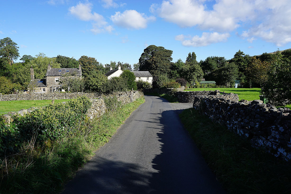
Setting off from Barbon I walk north along High Road towards the A683
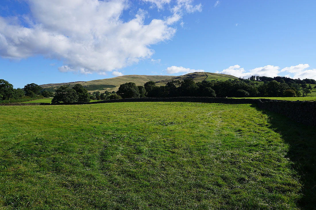
To my right the slopes of Middleton Fell
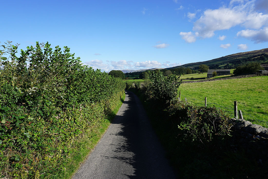
It's a narrow lane and fortunately I don't meet any traffic where I couldn't get out of the way
Lunesdale to my left
Another shot of Middleton Fell from High Road, this time across a freshly mown field
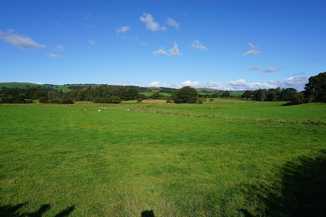
Having reached the end of High Road and crossed the A683 I'm on the bridleway to Low Waterside
Through Low Waterside
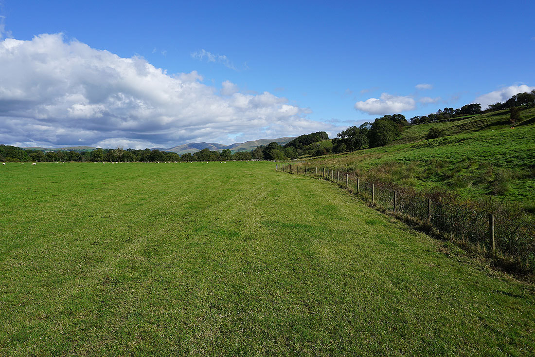
I have a view of the Howgills in front of me as I follow the bridleway from Low Waterside to the A683
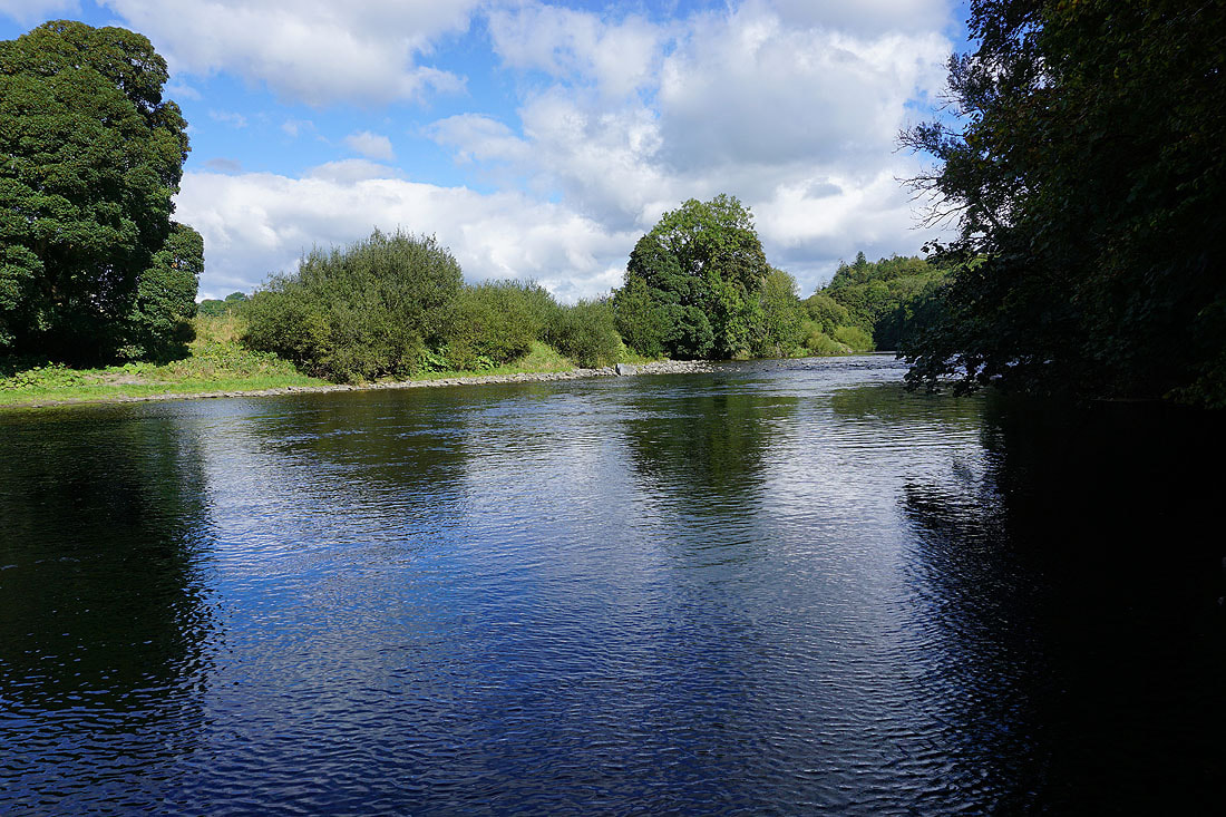
A brief chance to see the River Lune
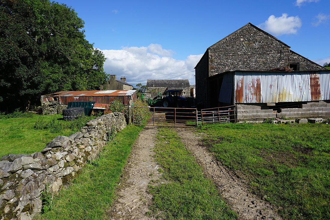
At Fellside and finally..
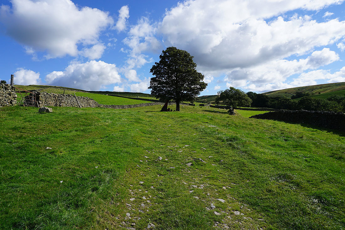
..I'm heading onto the open fell
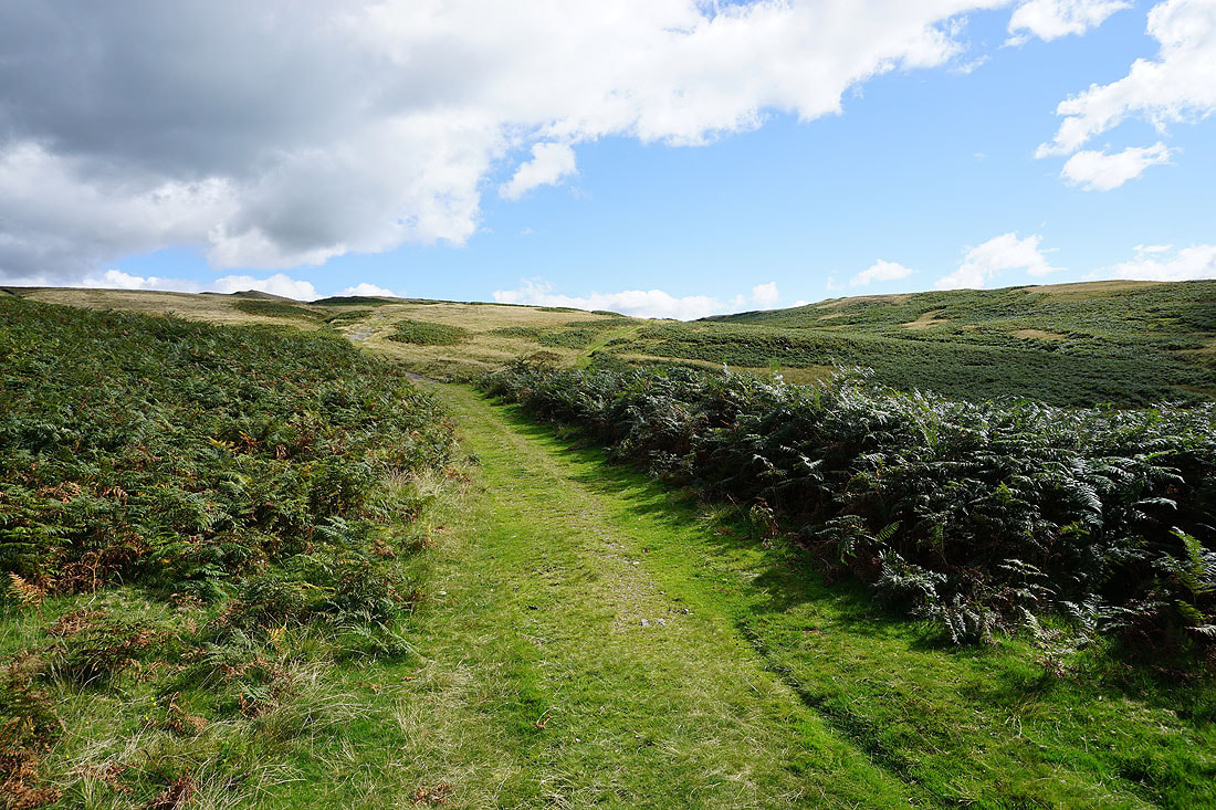
There's a clear path to follow up onto the fell..
..and when I look back I can start to see the Lake District fells appearing in the distance above the neighbouring moors
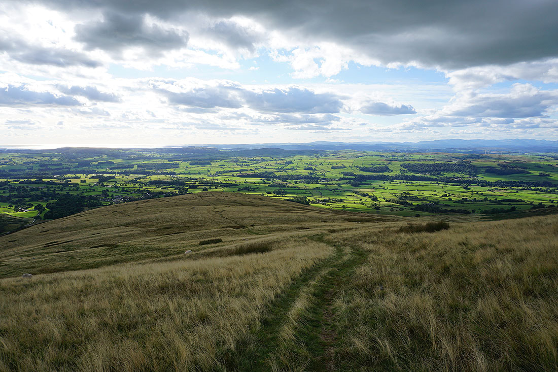
I leave that path and take another one north towards Holme Knott. The trig point is on top of the knoll ahead.
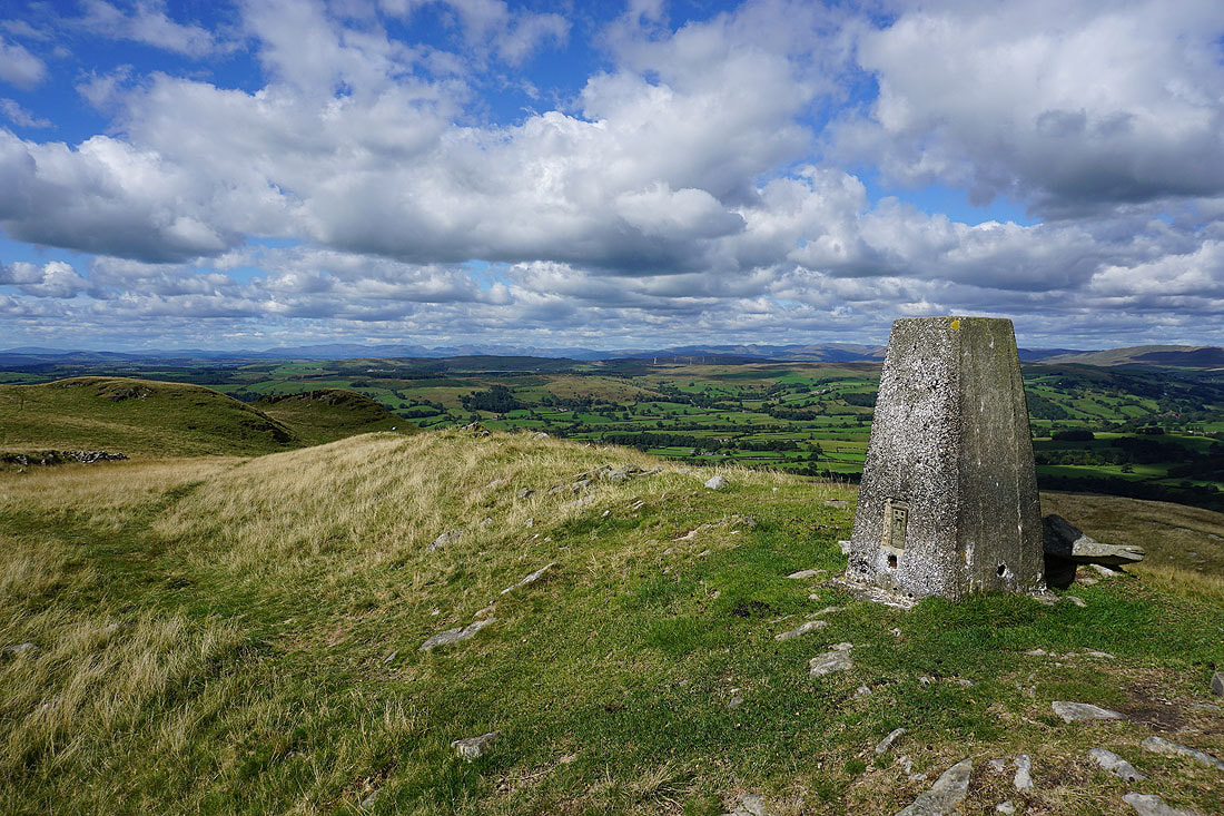
At the trig point on Holme Knott and I can finally sit down and have my lunch, and while I do I can enjoy the view across Lunesdale to the distant Lake District fells
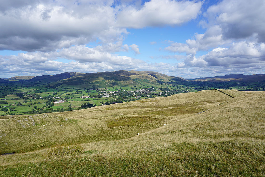
Sedbergh and the Howgills
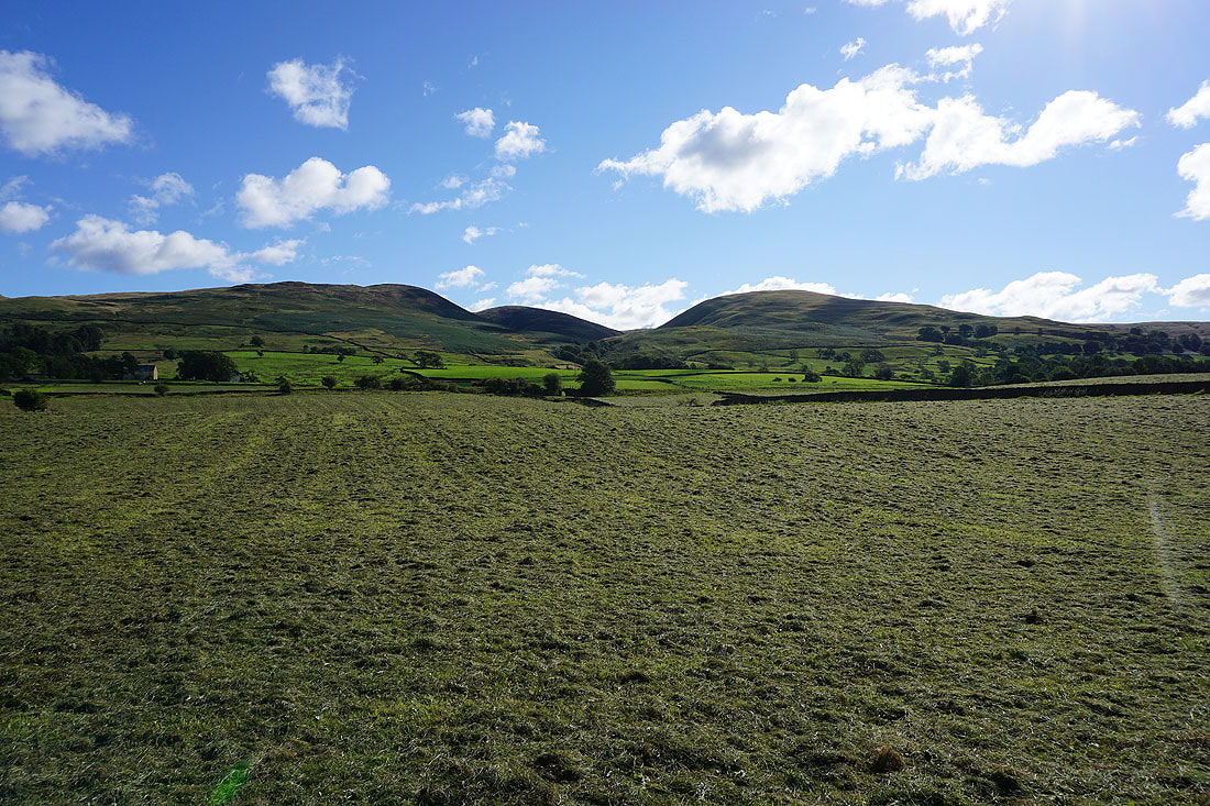
Baugh Fell in shadow, Aye Gill Pike, and if I turn to the right, the ridge heading up to the top of Middleton Fell..
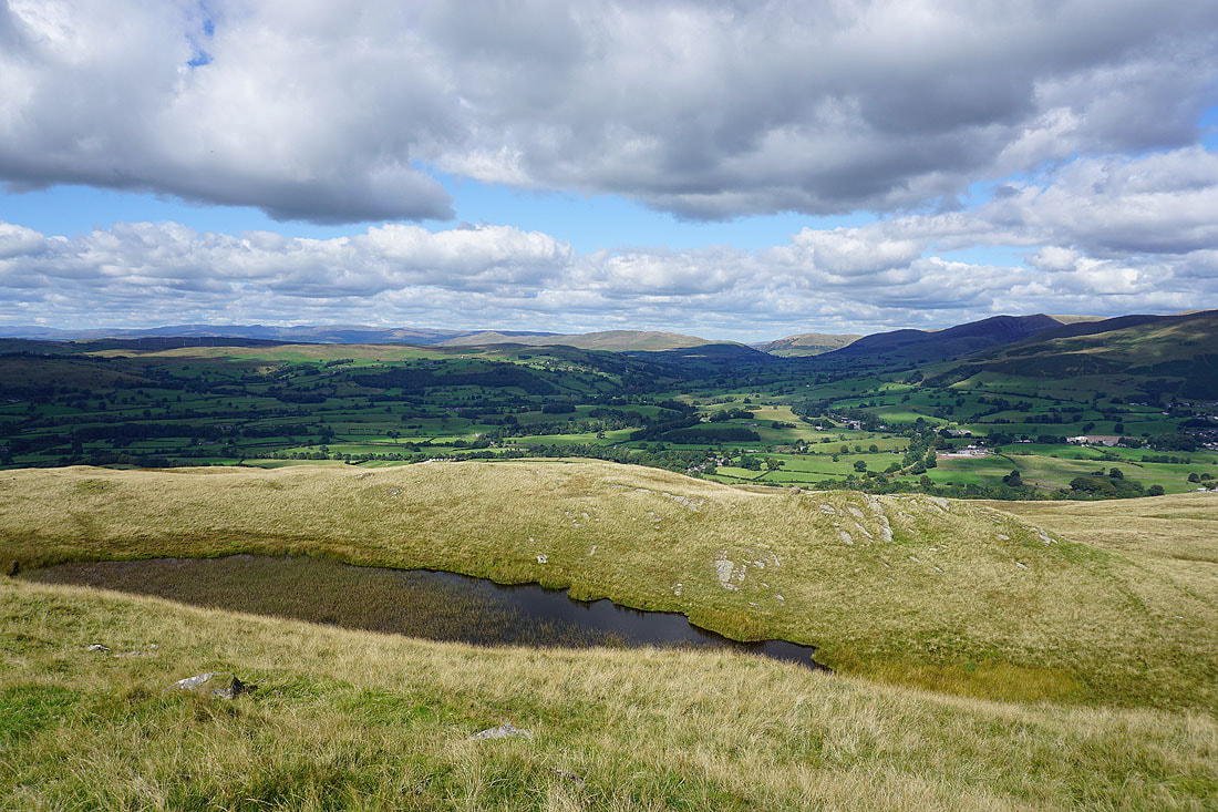
Looking north up Lunedsale to the Lune gorge, with Holme Knott Tarn below
Leaving the trig point behind..
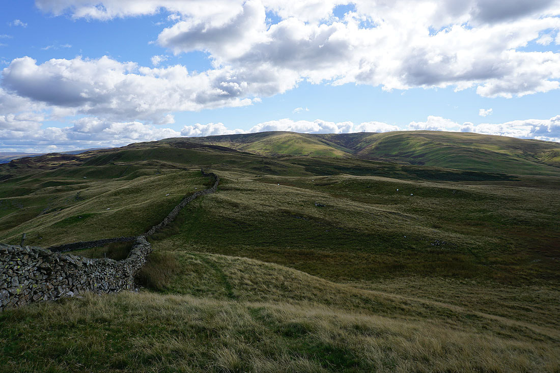
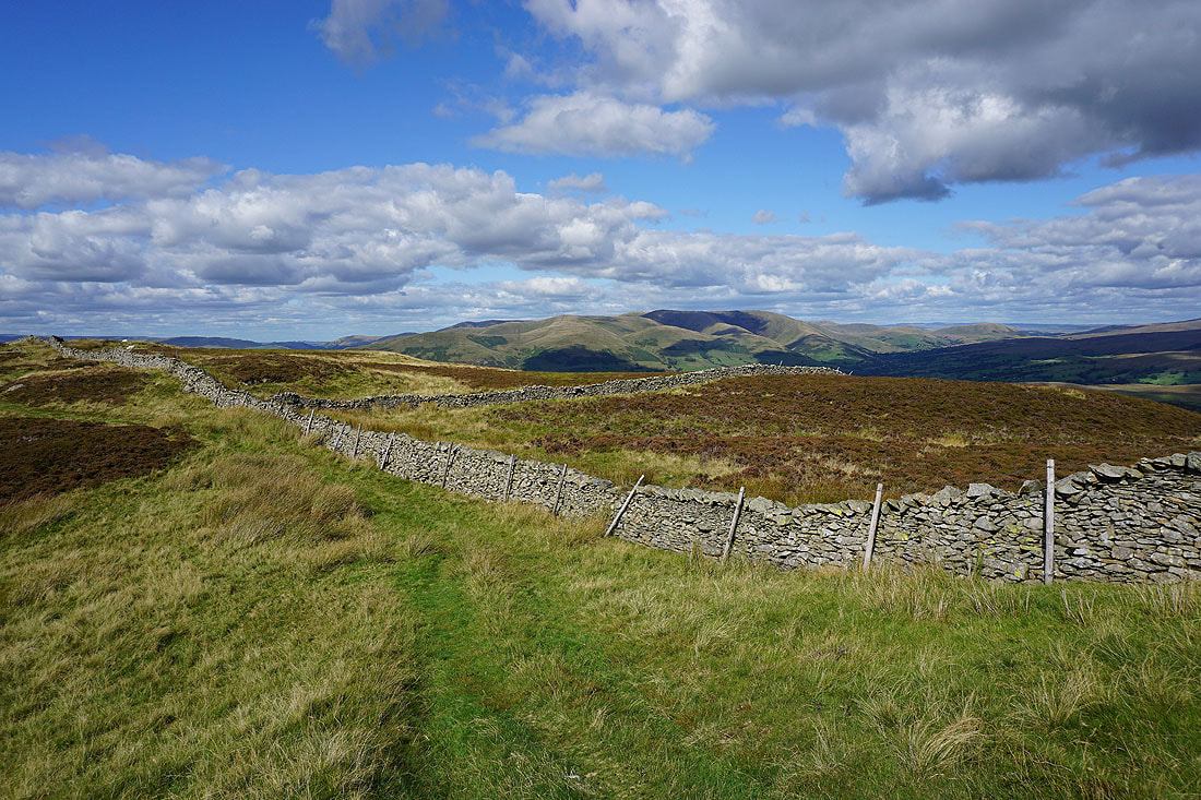
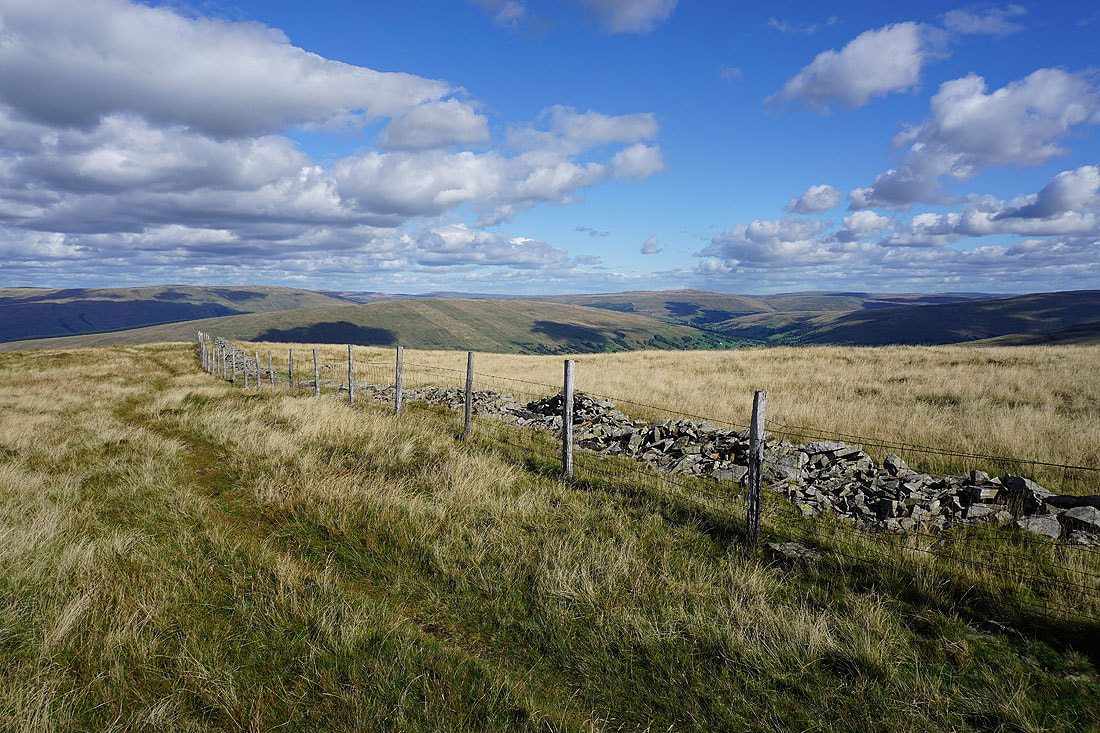
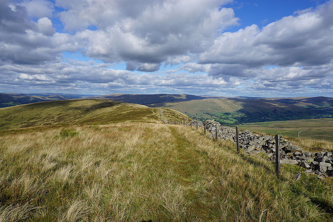
..and I'll be following this wall up the slopes of Middleton Fell for some time to come
If I look over the wall I can see Dentdale and the fell of Aye Gill Pike
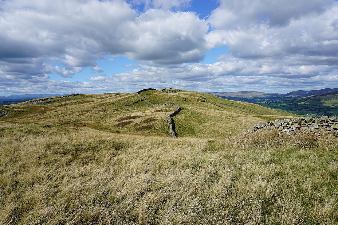
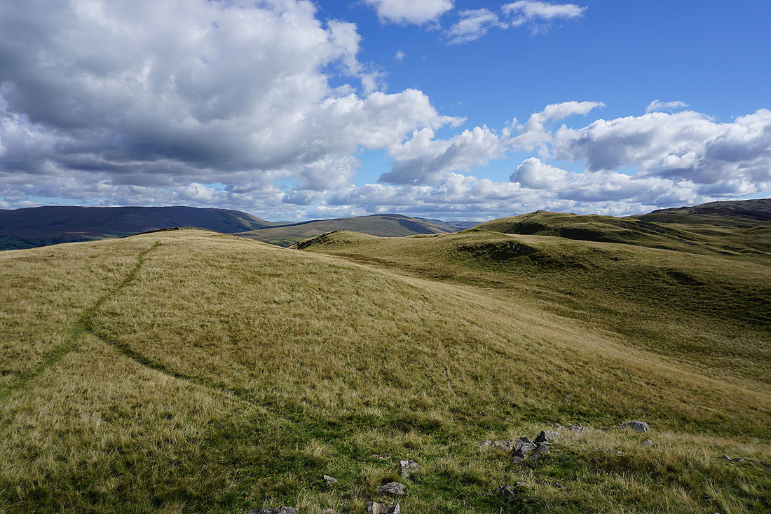
Looking back along the ridge to Holme Knott
The Howgills and the valley of the River Rawthey
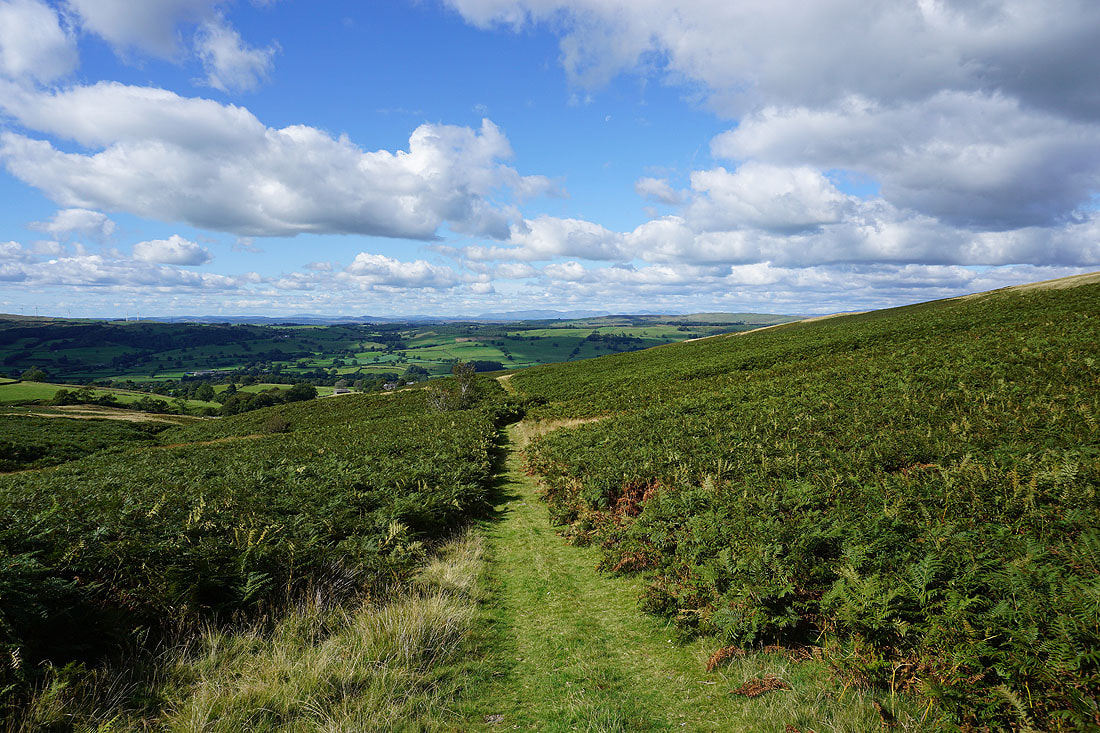
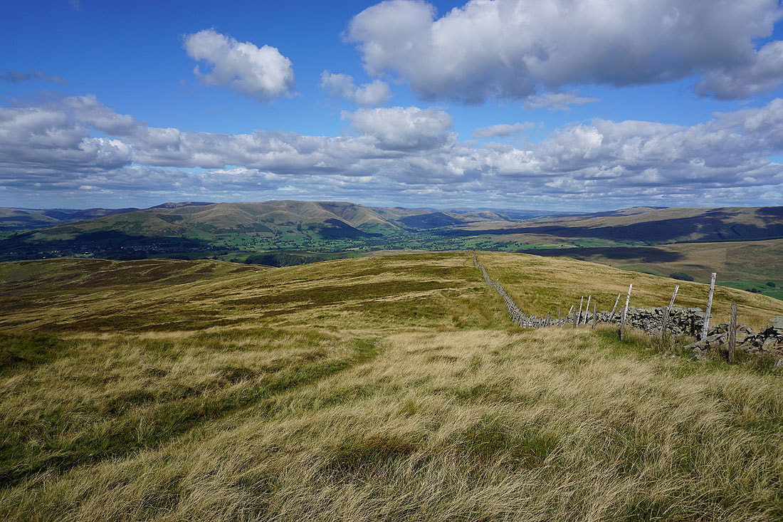
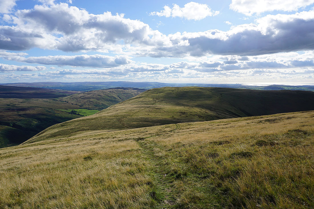
The Lake District fells in the distance from Long Bank. The footpath from Fellside joins the moorland ridge here.
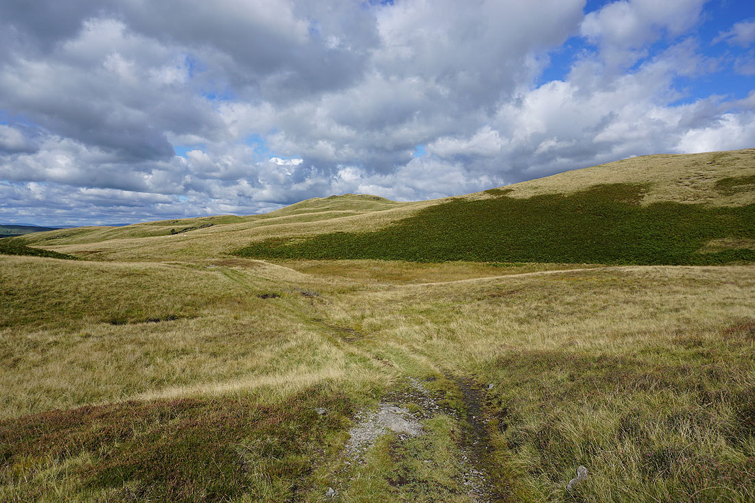
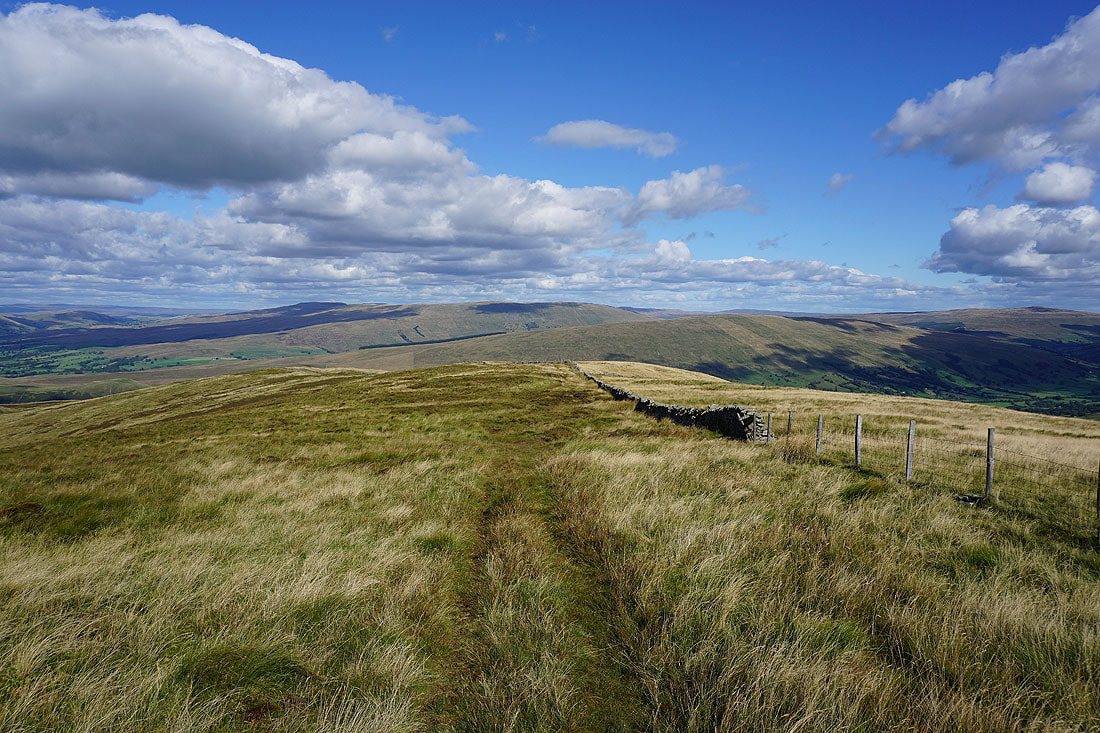
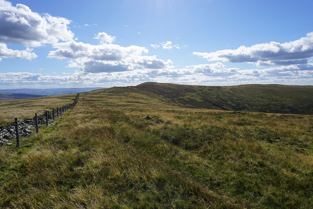
From Long Bank I follow the wall up to Combe Top
The Howgills from Long Bank
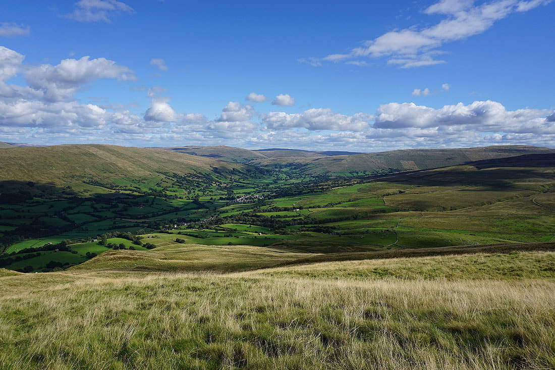
A stile lets me cross to the other side of the wall where I can get a view up Dentdale to the village of Dent, and to Great Knoutberry Hill
Looking back to the Howgills as I make my way up to Barkin Top
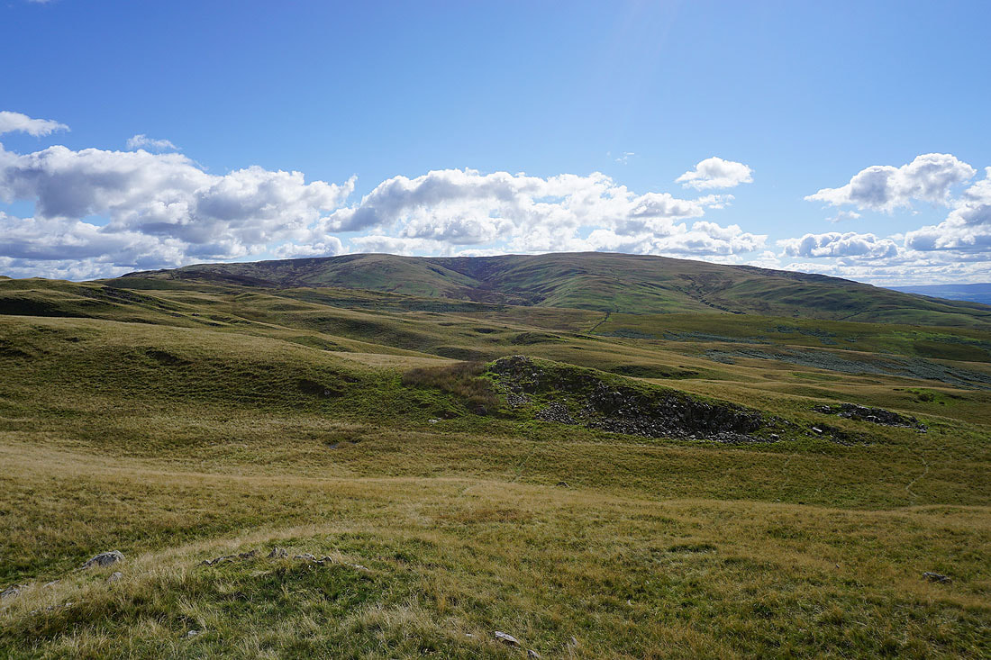
Wild Boar Fell, Baugh Fell, and Aye Gill Pike as I reach Barkin Top
Baugh Fell, Aye Gill Pike, Dentdale and Great Knoutberry Hill
It's the view across to the Lake District that catches my eye
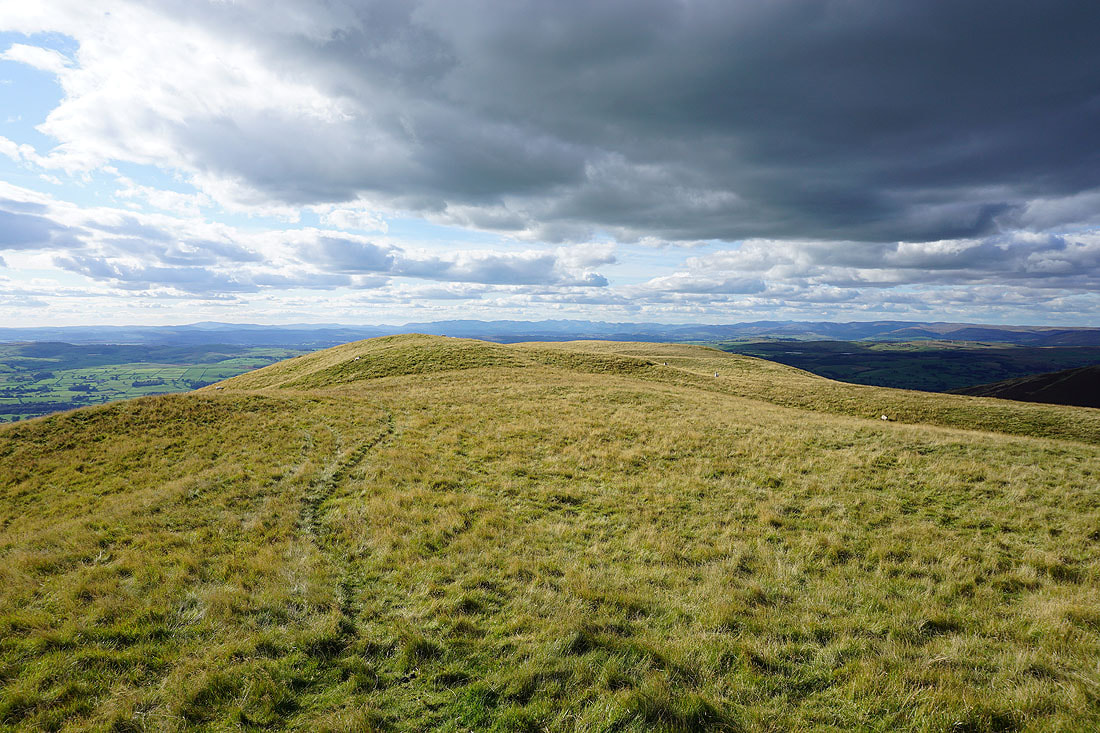
Finally Calf Top, the summit of Middleton Fell is in sight. It feels a long time since I left Holme Knott.
Looking down into Dentdale, and to Aye Gill Pike and Great Knoutberry Hill
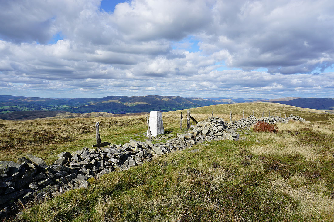
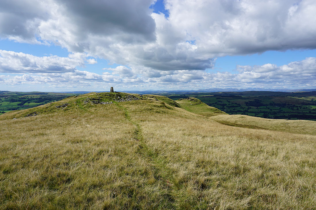
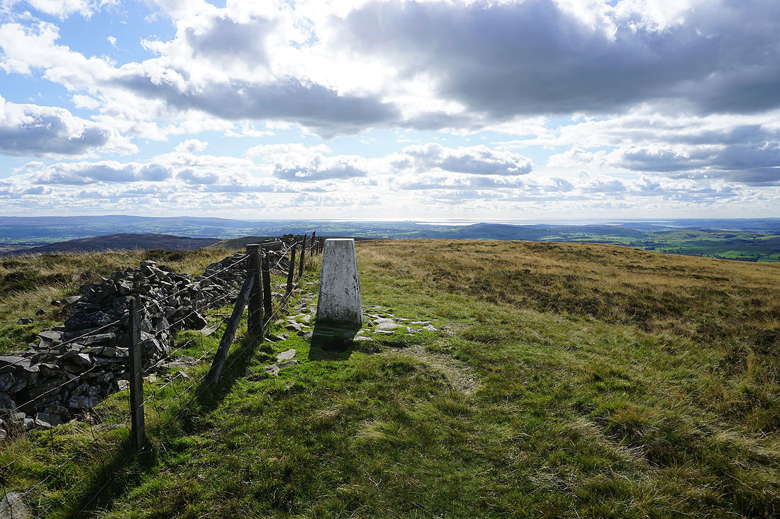
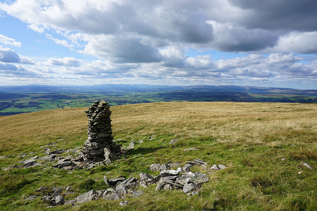
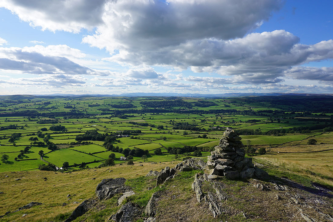
At the trig point on Calf Top, with the Howgills in the background
Crag Hill on the other side of Barbondale, with the top of Ingleborough peeping over its right shoulder
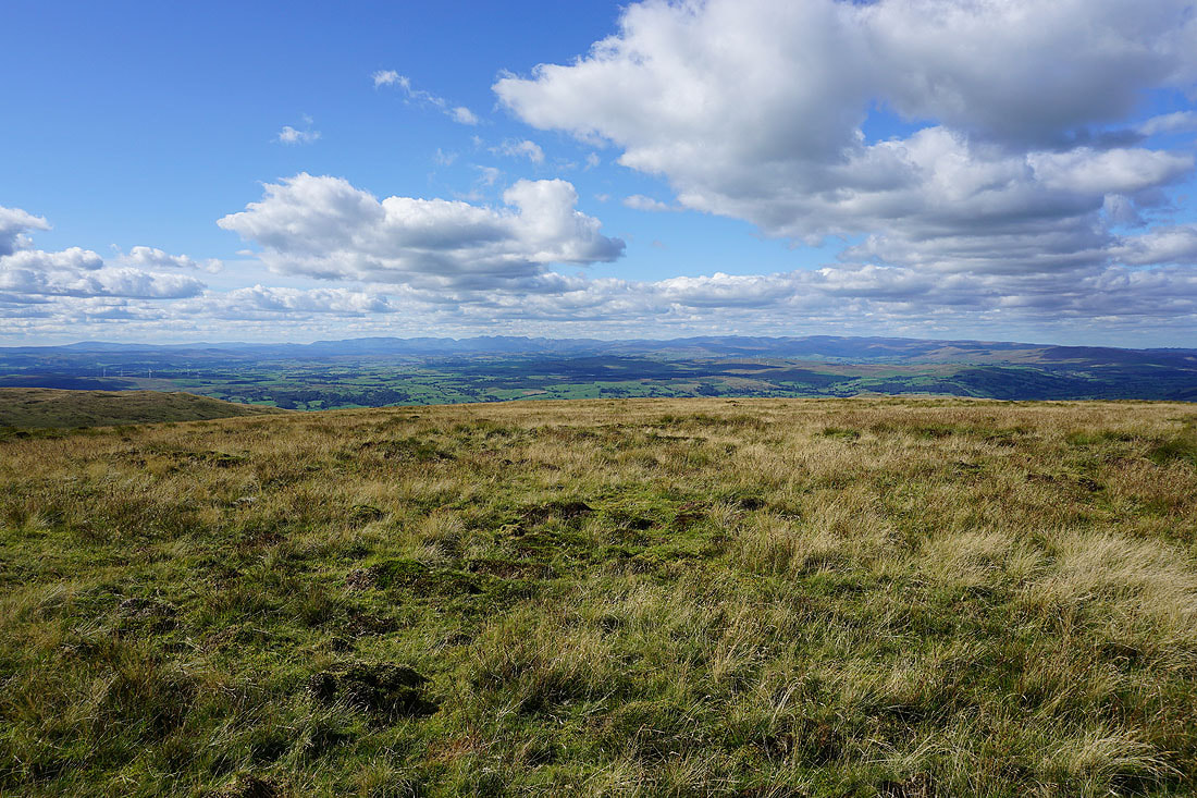
To the west a long line of Lakeland fells beyond the broad western shoulder of the fell
Morecambe Bay to the southwest
Wild Boar Fell, Baugh Fell and Aye Gill Pike to the northeast
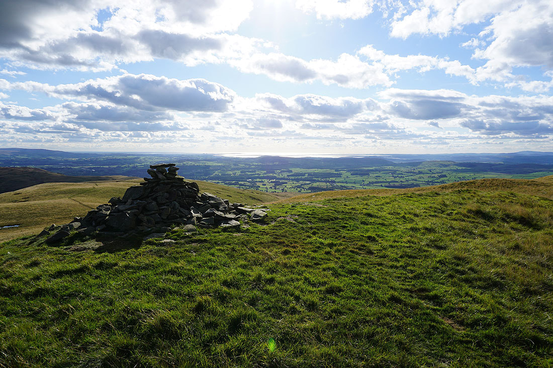
A visit to the cairn at the end of the western shoulder of Calf Top is worth it for this view of the Lake District fells
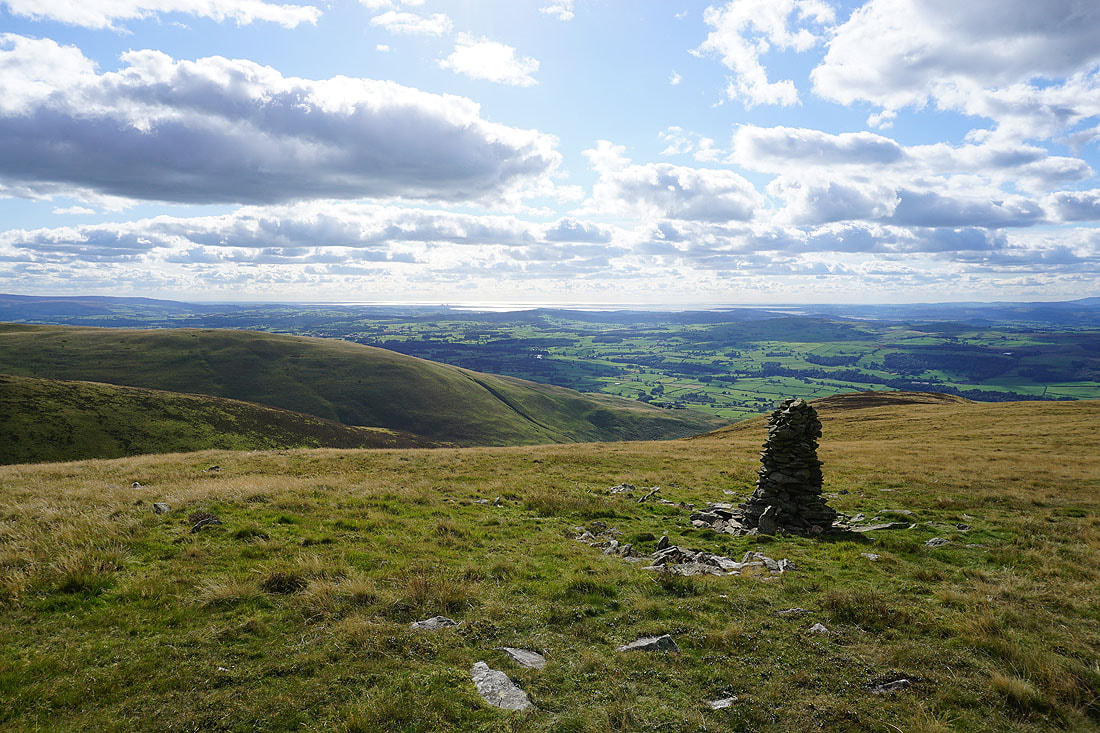
and of Lunesdale and Morecambe Bay
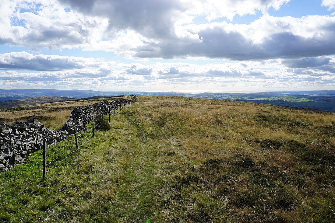
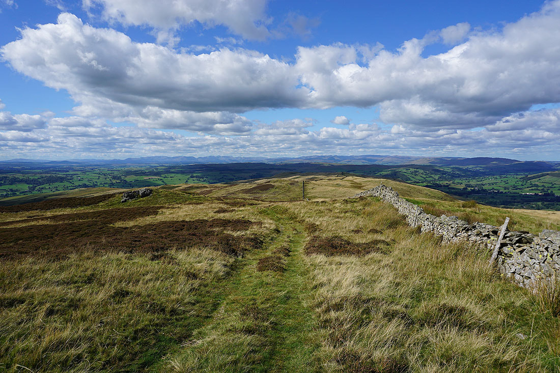
Back at Calf Top and I follow the path south down to Castle Knott..
Morecambe Bay from Castle Knott
The Lake District fells in the distance beyond the western shoulder of the fell
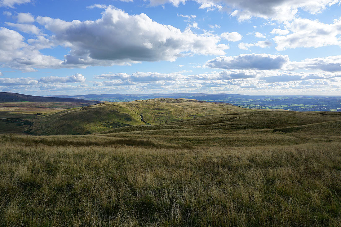
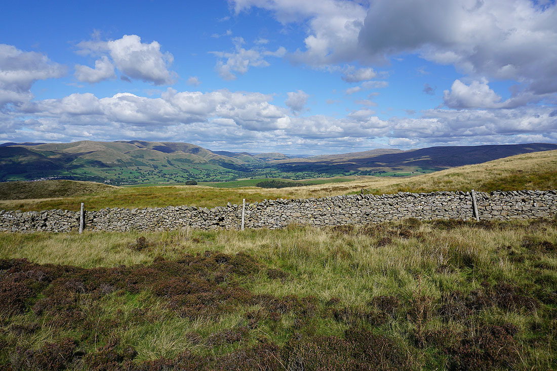
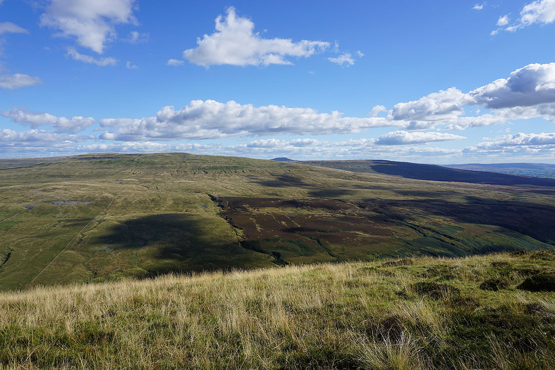
The fells of the Forest of Bowland in the distance beyond Barbon Low Fell. I can even make out Pendle Hill way in the distance on the left.
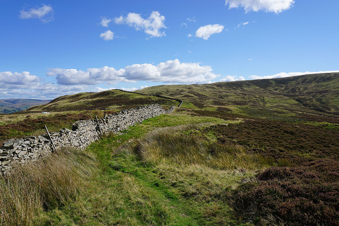
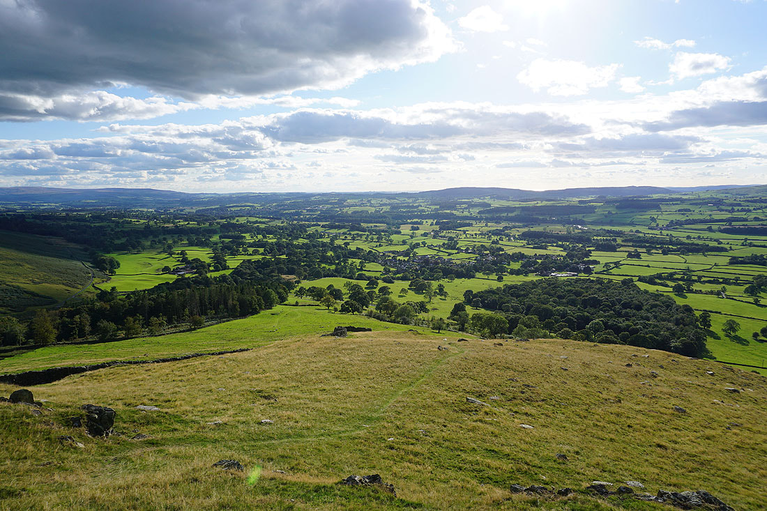
Heading from Castle Knott down to Eskholme Pike
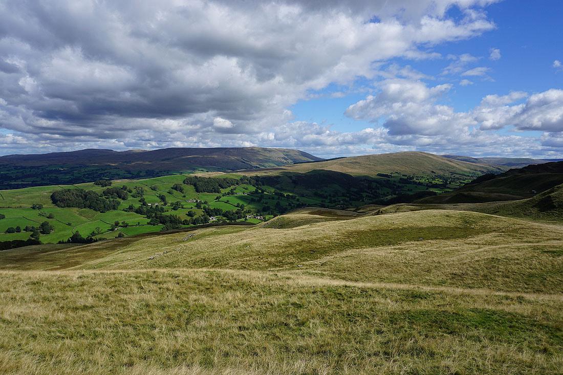
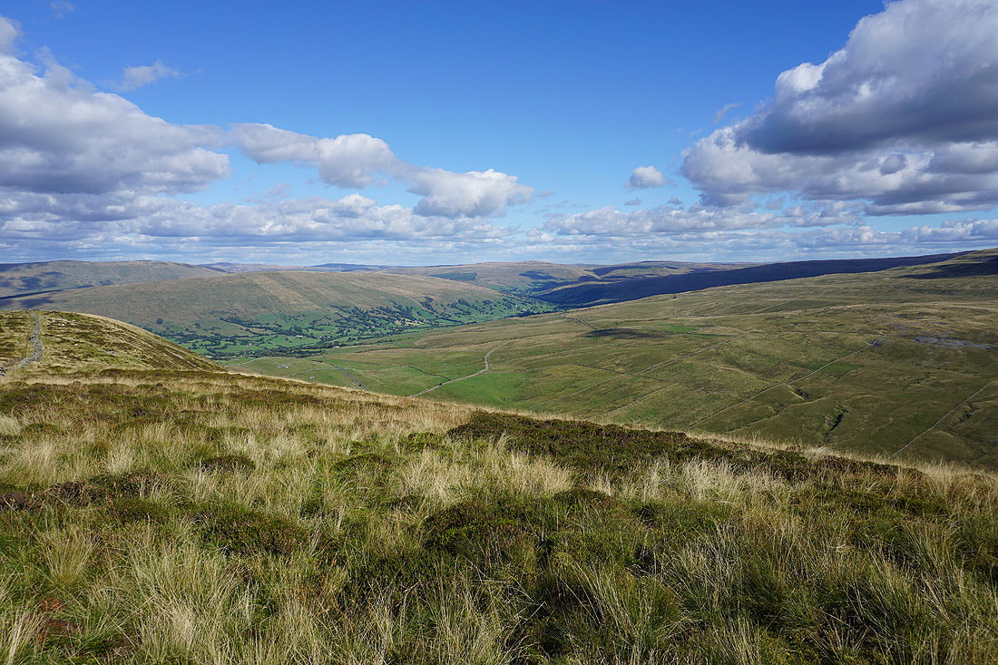
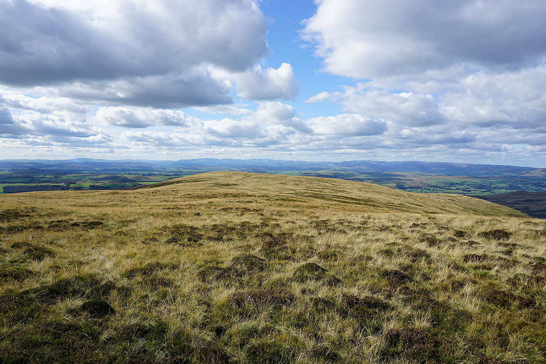
On the home straight as I arrive on Eskholme Pike. There's a final long distance view across Lunesdale to the Lakes.
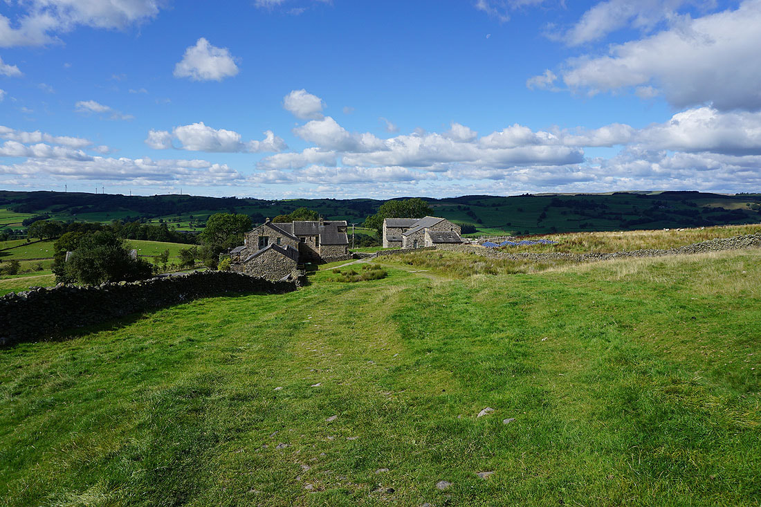
The village of Barbon below
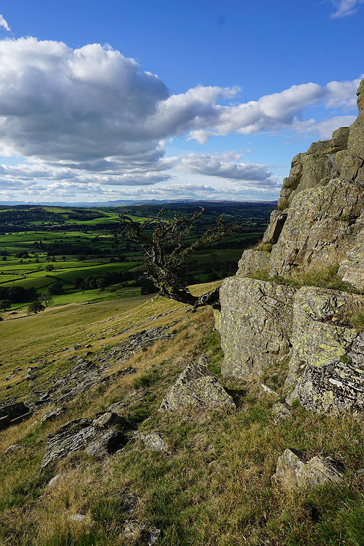
The hawthorn on Devil's Crag is still hanging on
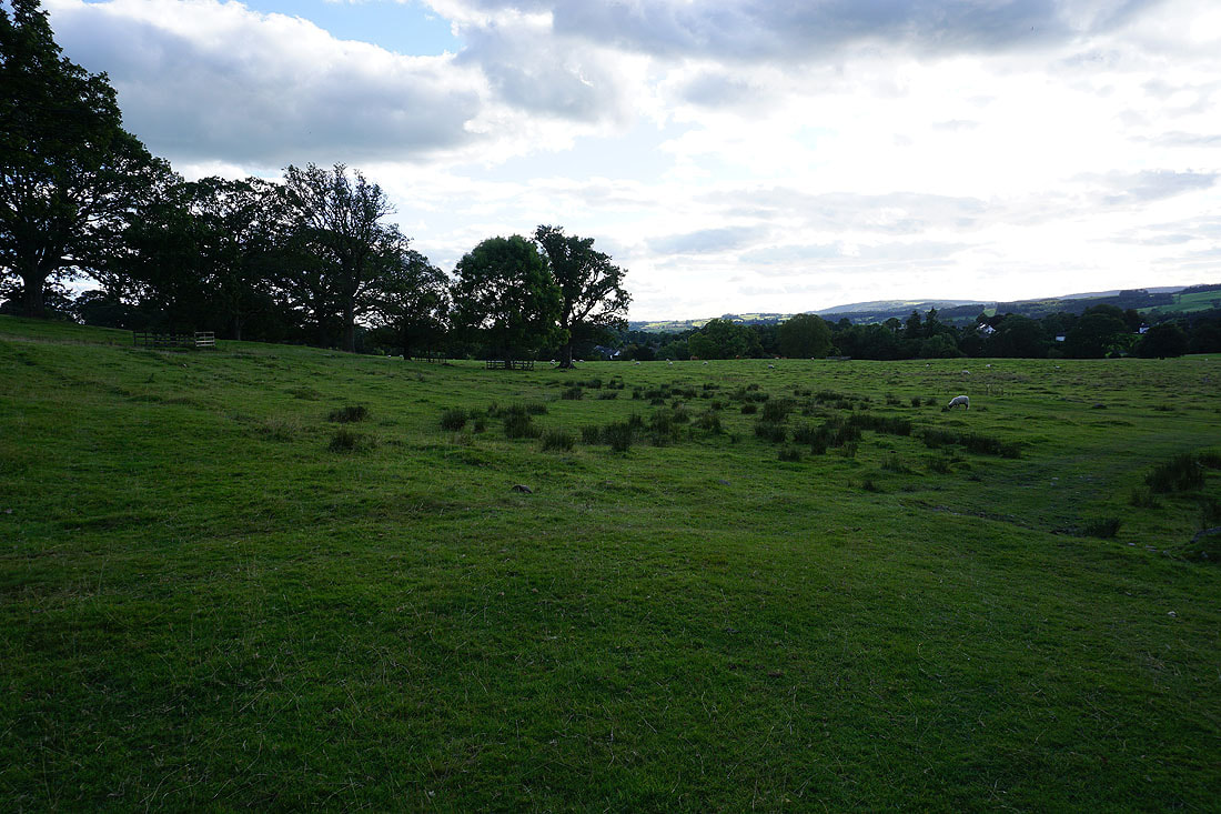
Walking through Barbon Park back to Barbon
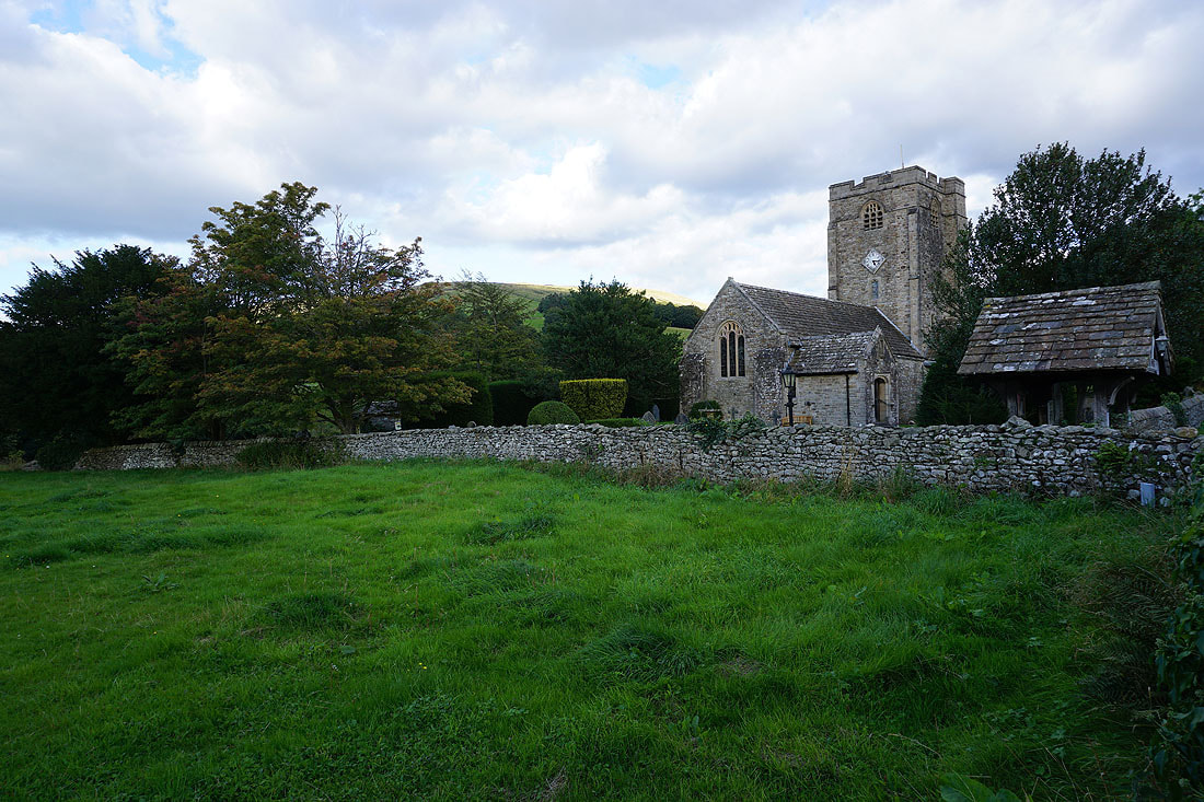
The church of St. Bartholomew's as I arrive back in Barbon