17th April 2011 - Old Cote Moor Top
Walk Details
Distance walked: 10.7 miles
Total ascent: 1507 ft
OS map used: OL30 - Yorkshire Dales, Northern & Central areas
Time taken: 6.5 hrs
Route description: Arncliffe-Litton-Old Cote Moor Top-Middlesmoor Pasture-Hawkswick-Arncliffe
A walk from Arncliffe in Littondale up the valley to Litton. The bridleway over to Buckden was used to climb up to Old Cote Moor Top. I walked down the ridge and then back to Arncliffe via Hawkswick.
Route map
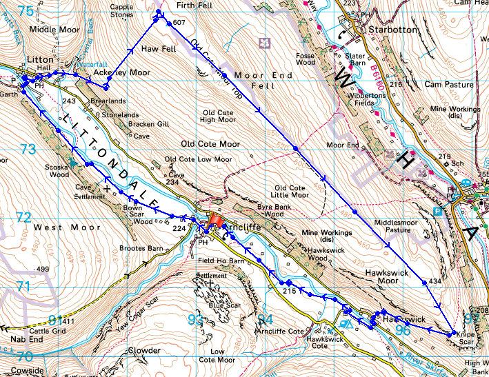
© Crown copyright. All rights reserved. License number PU 100034184.
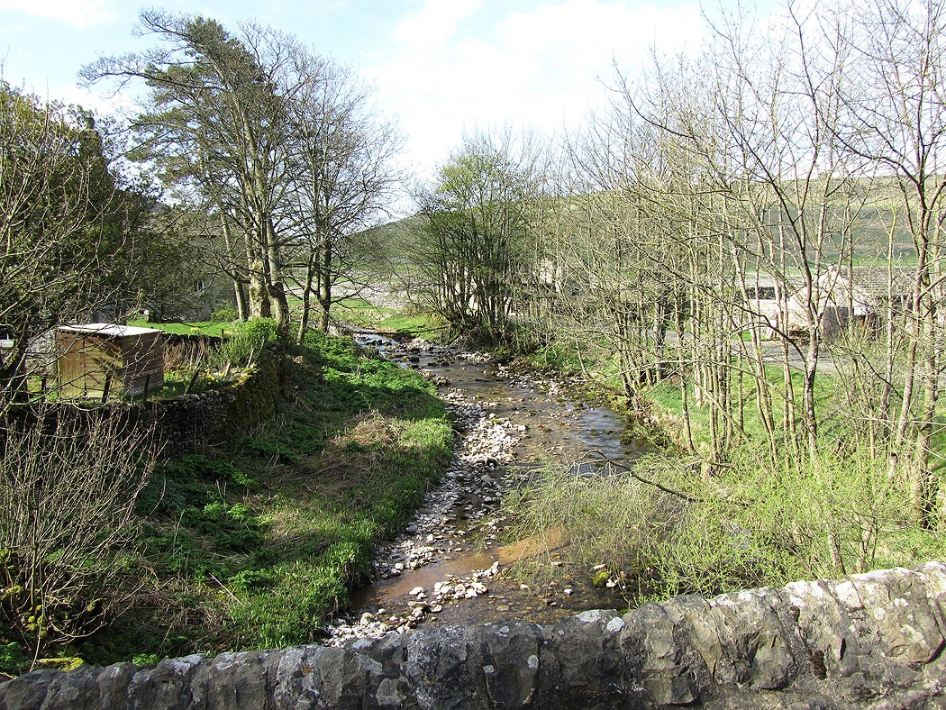
Crossing the bridge over Cowside Beck in Arncliffe
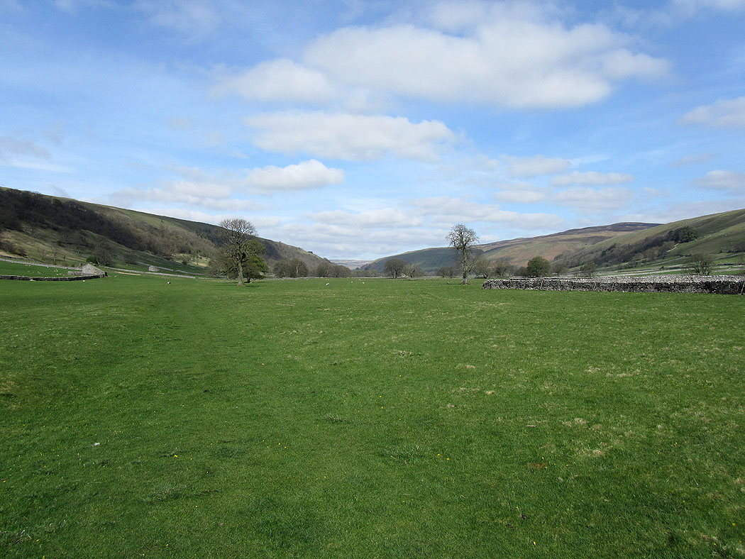
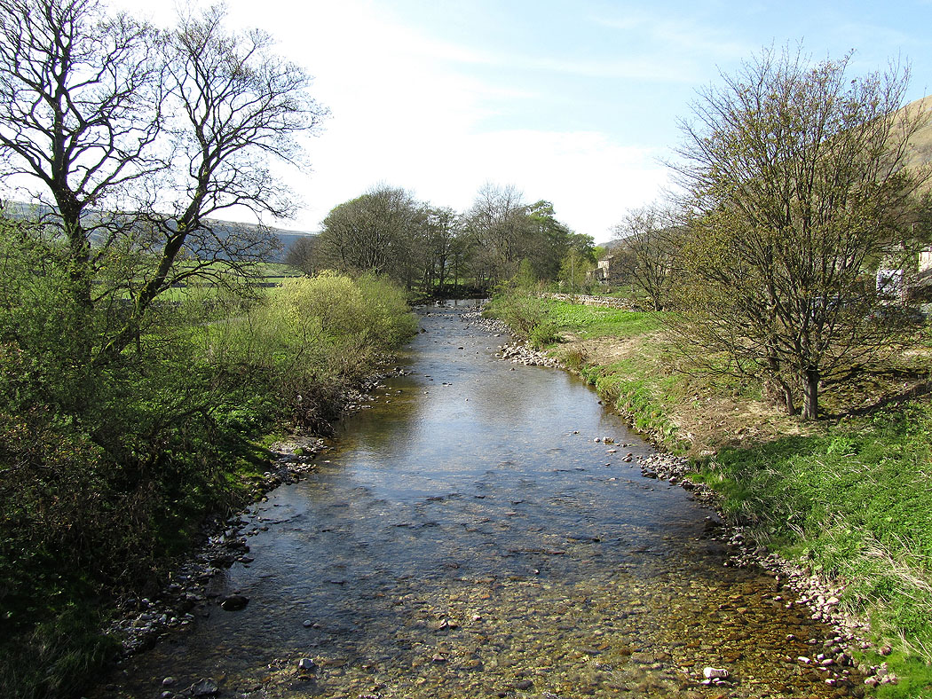
Walking up Littondale to Litton
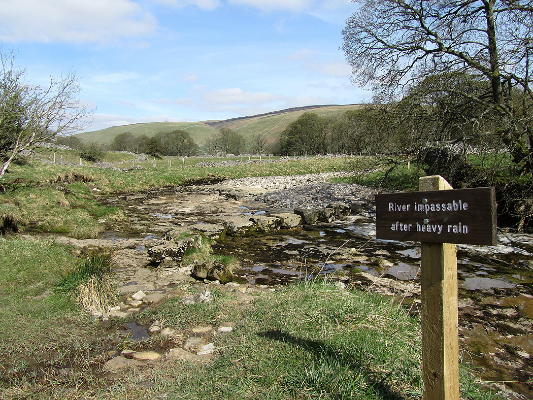
No such problems today
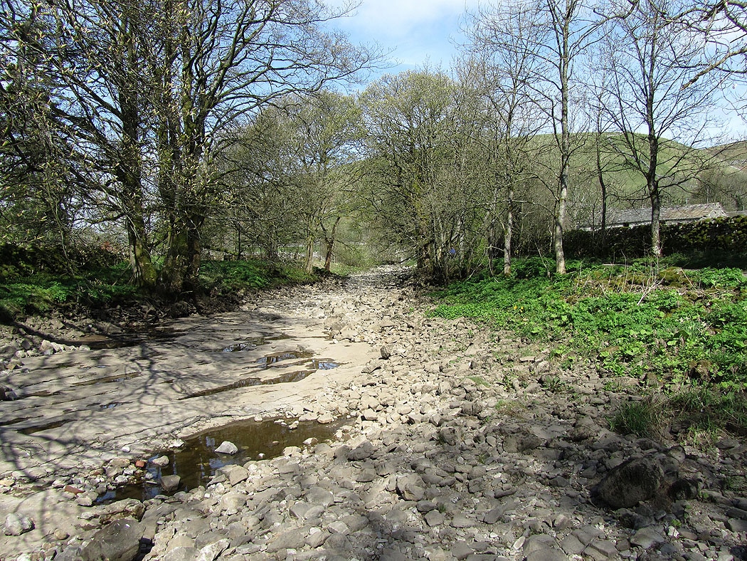
Crossing the ford over the River Skirfare at Litton. The riverbed became dry not far upstream from Arncliffe.
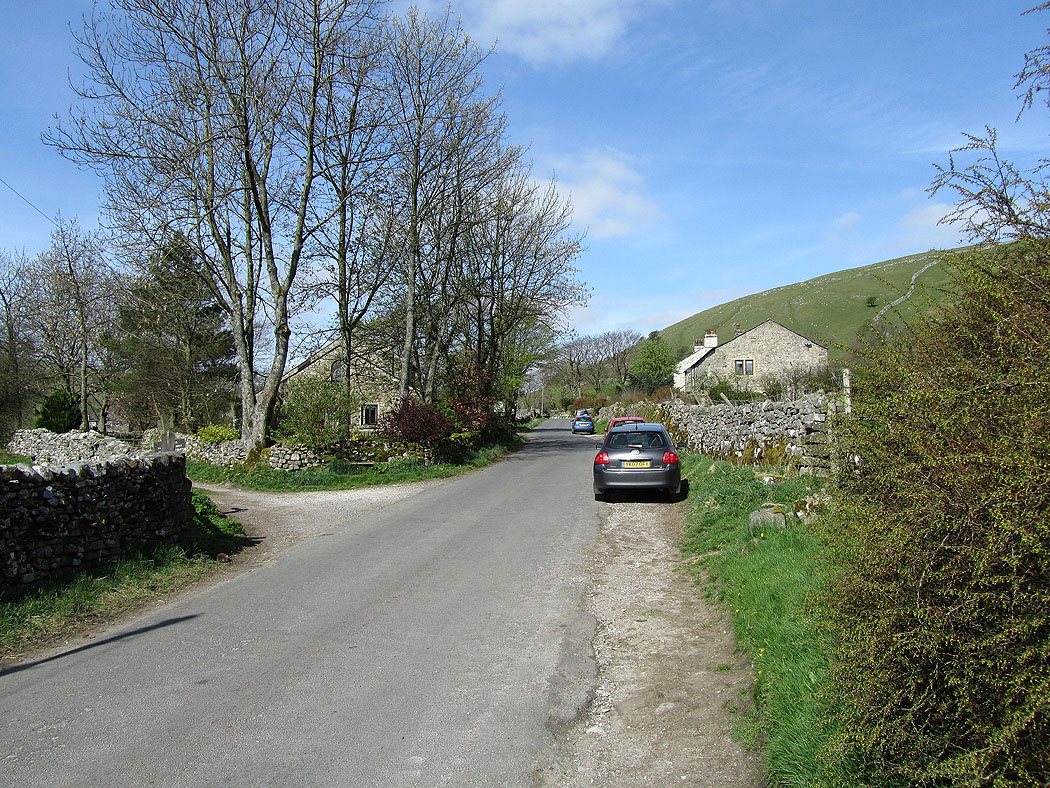
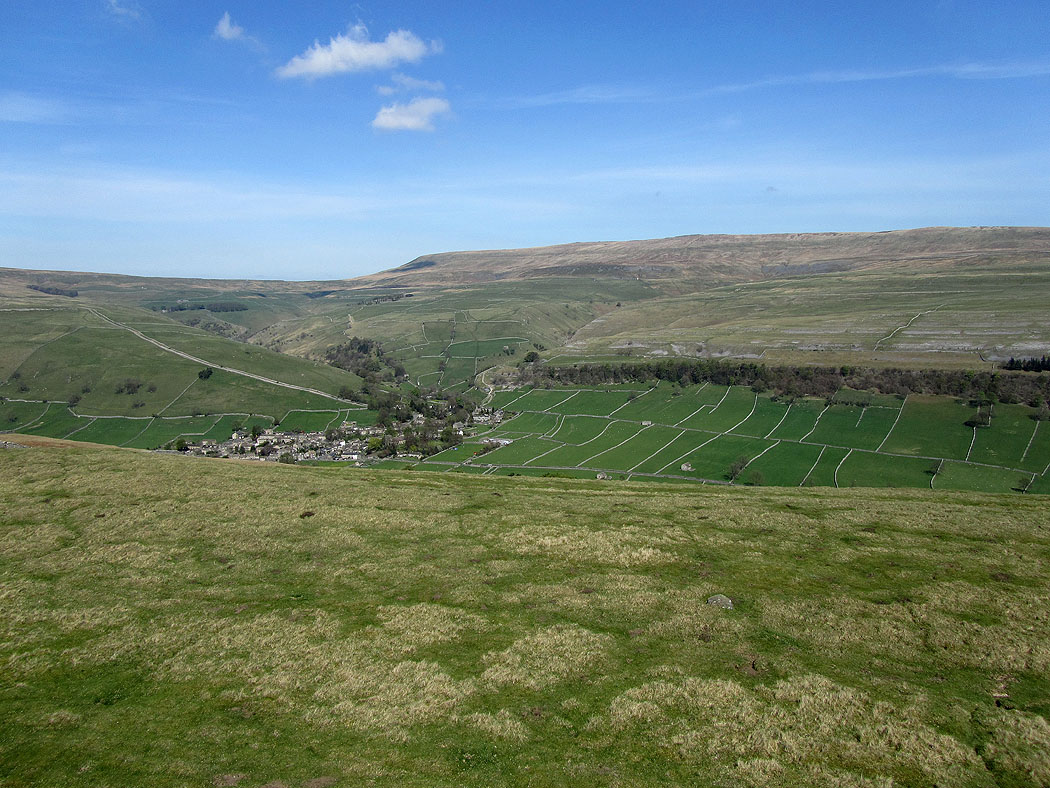
In Litton
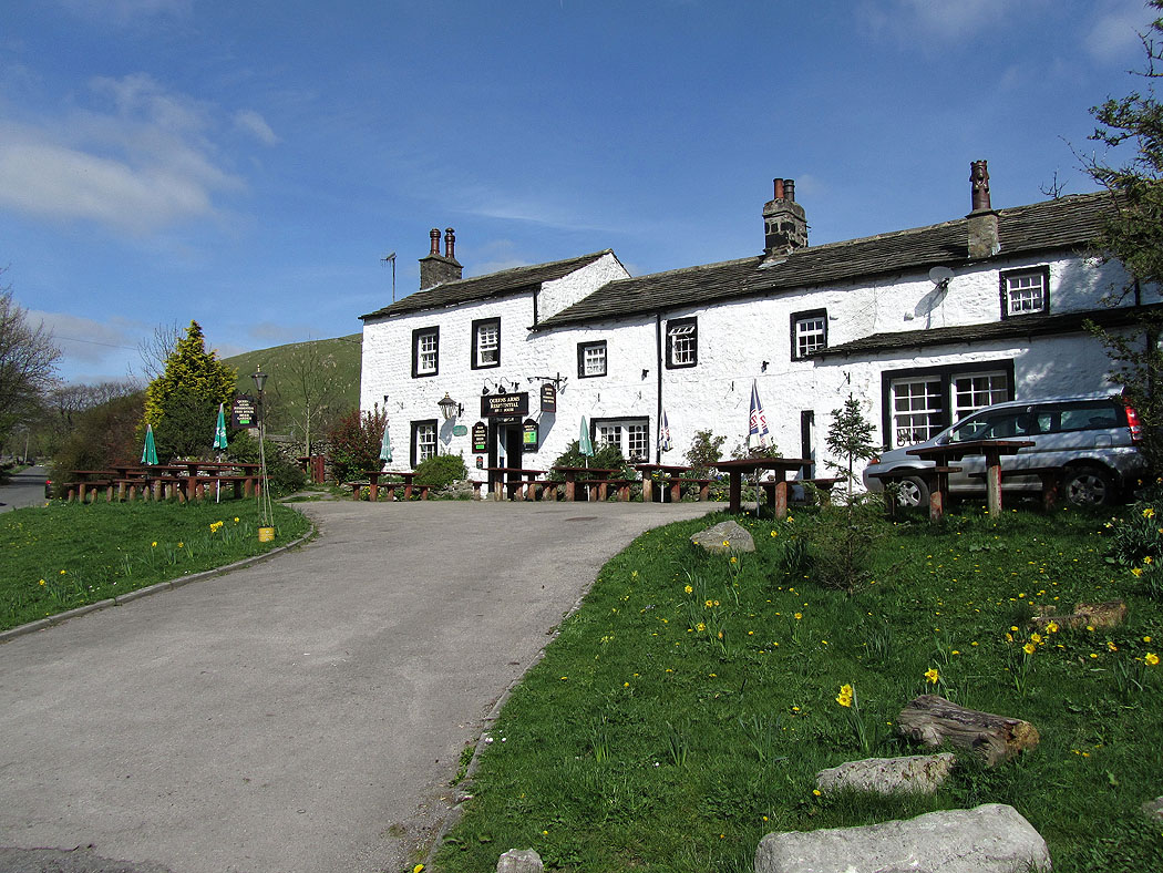
The Queens Arms, Litton. I'm a bit early.
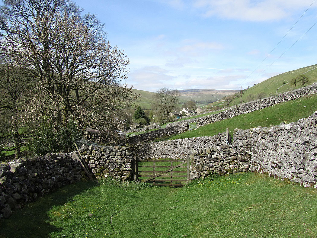
Leaving Litton on the bridleway over to Buckden
Looking back down to Litton
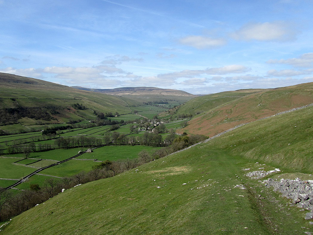
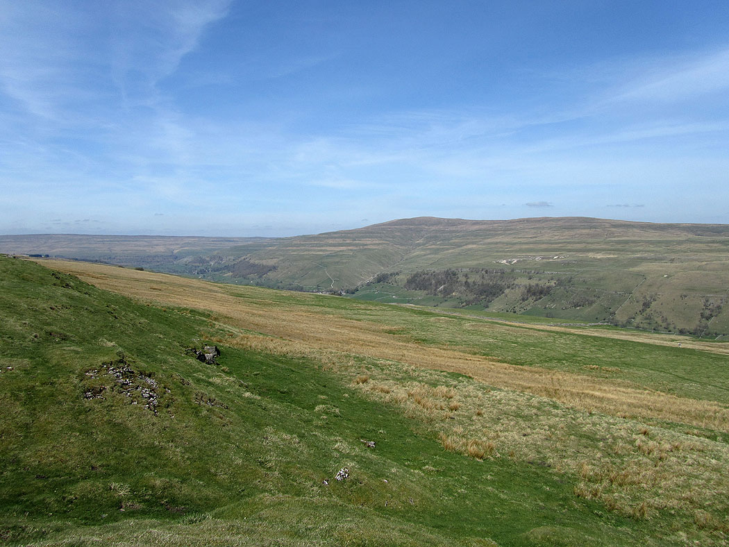
Littondale
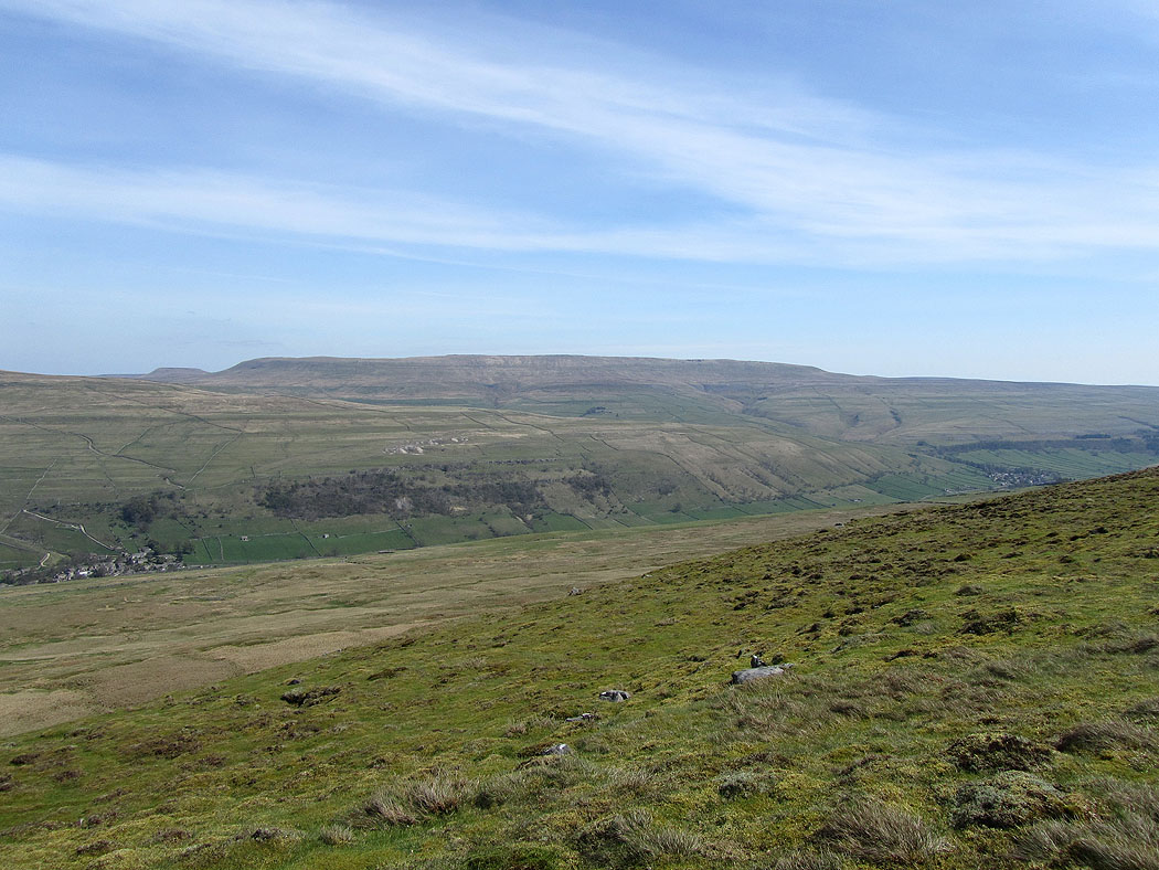
Climbing up to Old Cote Moor Top and Penyghent and Plover Hill are visible at the head of the valley
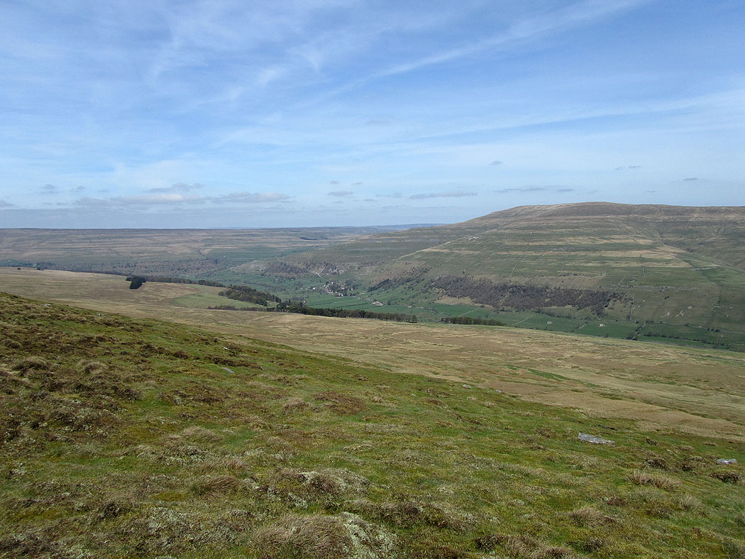
Higher up. Fountains Fell and Darnbrook Fell on the other side of the valley.
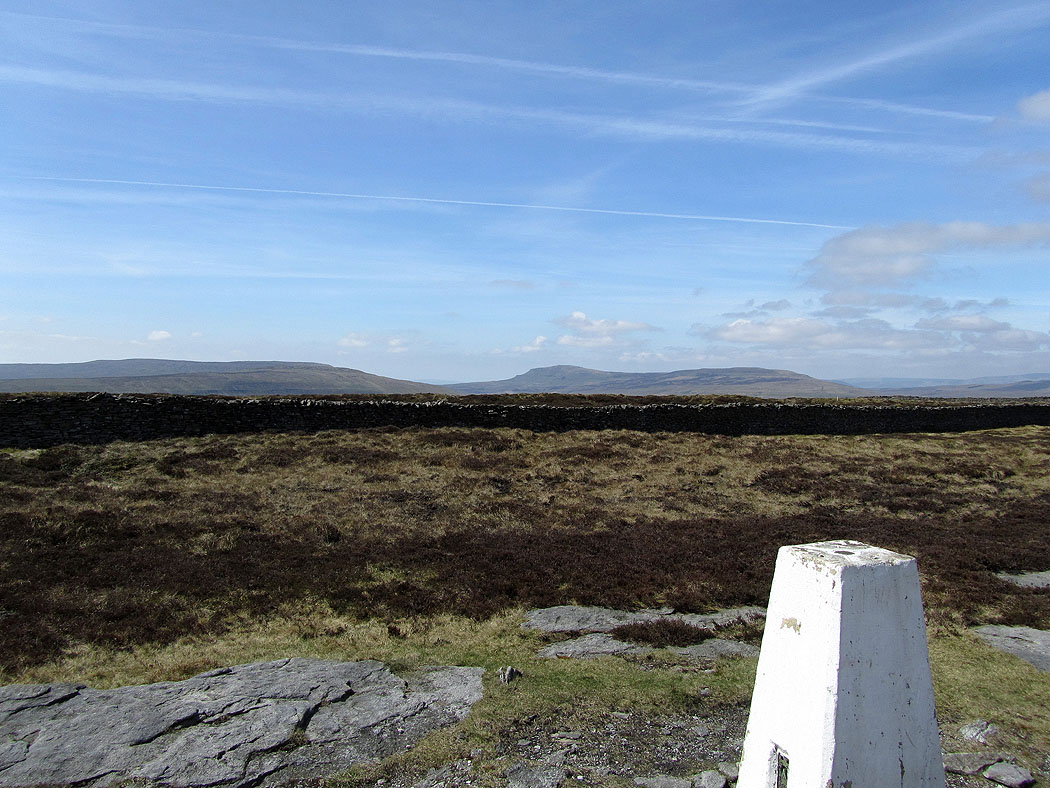
Fountains Fell and Penyghent from Old Cote Moor Top, the ridge of high ground that separates Littondale from Upper Wharfedale.
Buckden Pike
and Great Whernside
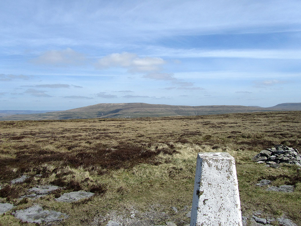
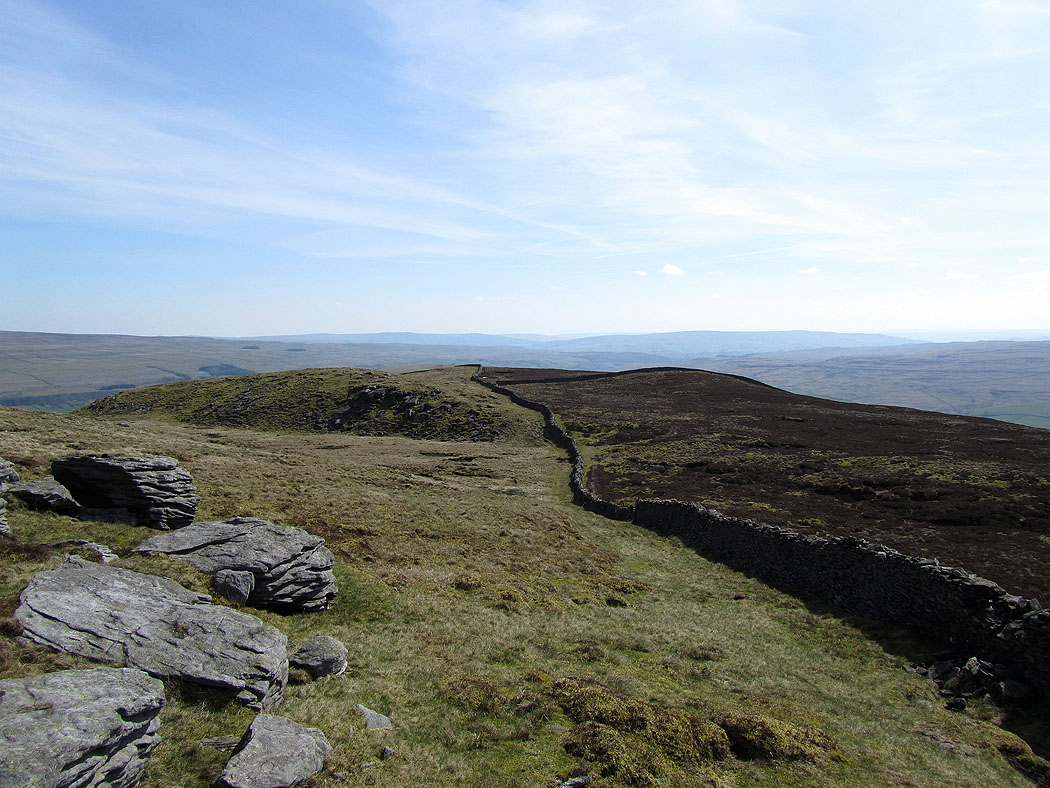
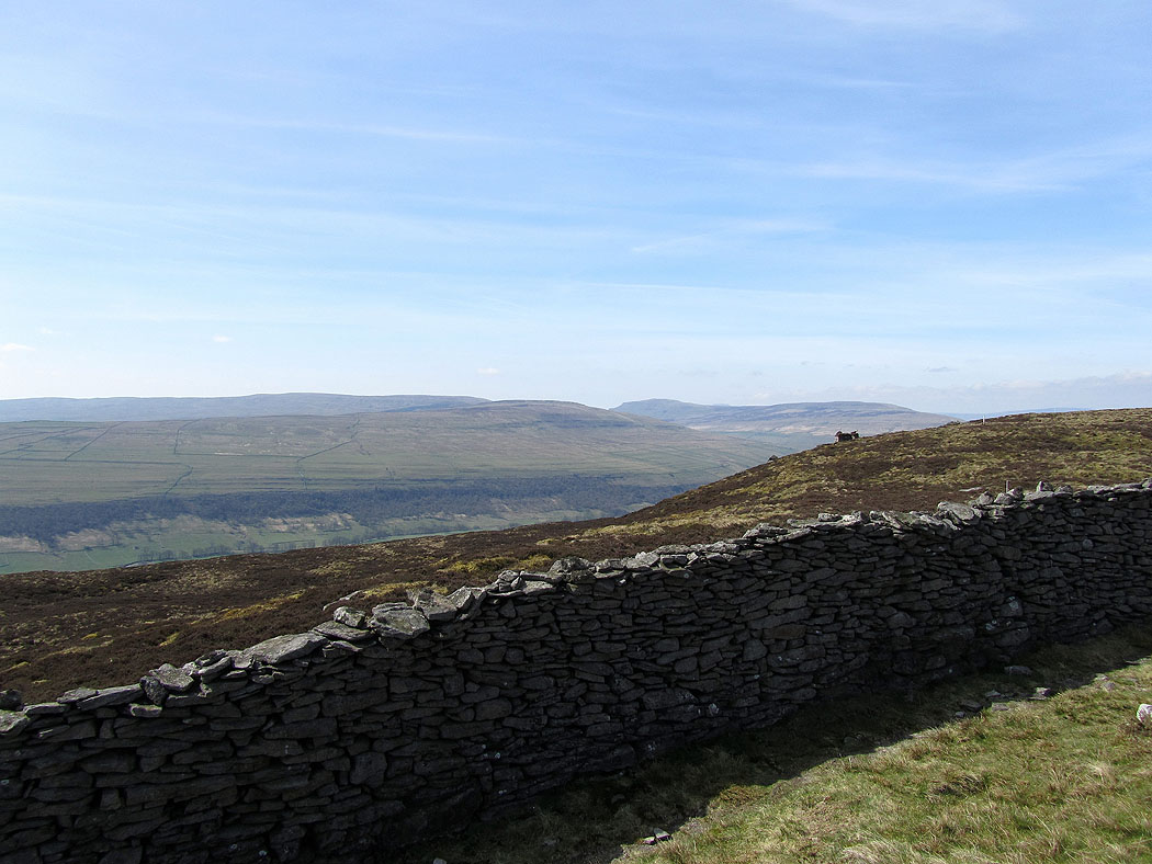
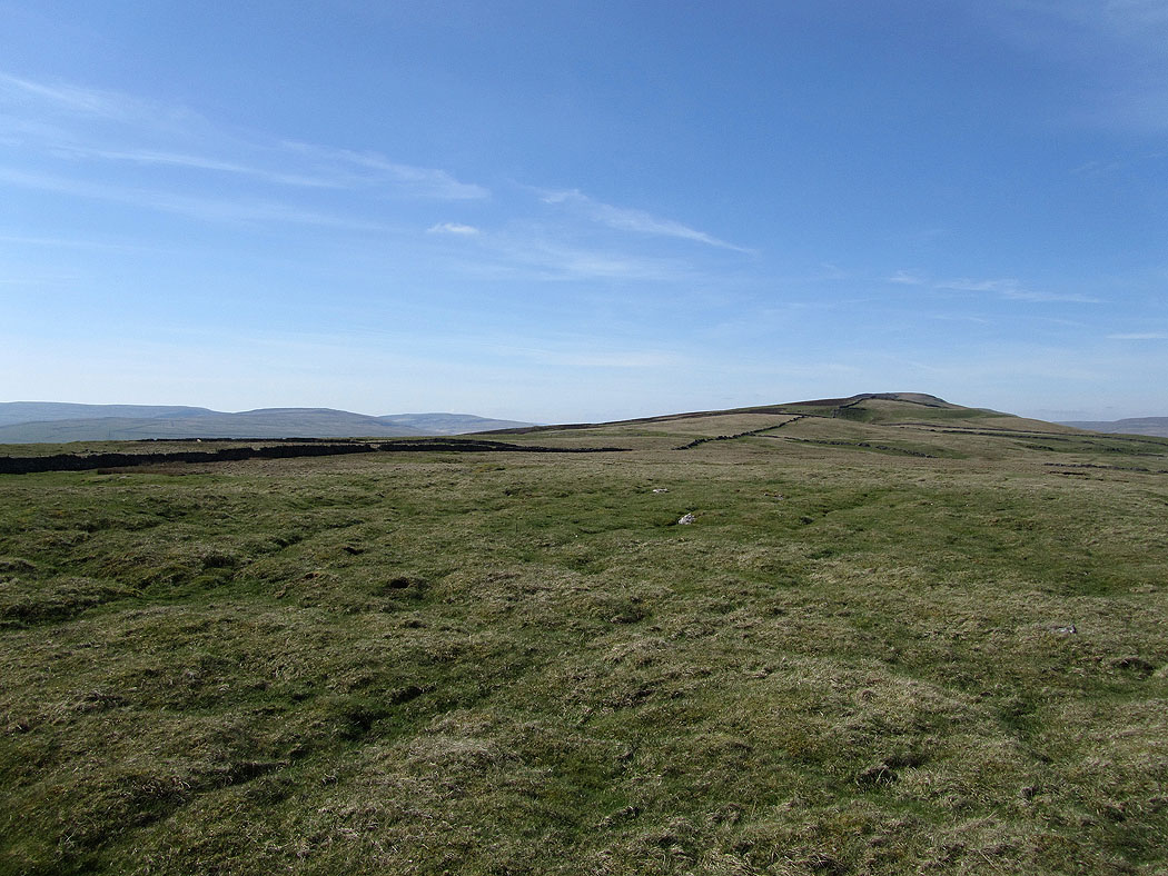
The ridge of high ground extends northwest at pretty much the same height for several miles
Great Whernside with the villages of Starbotton and Kettlewell on the left and right of the picture
Buckden below Buckden Pike
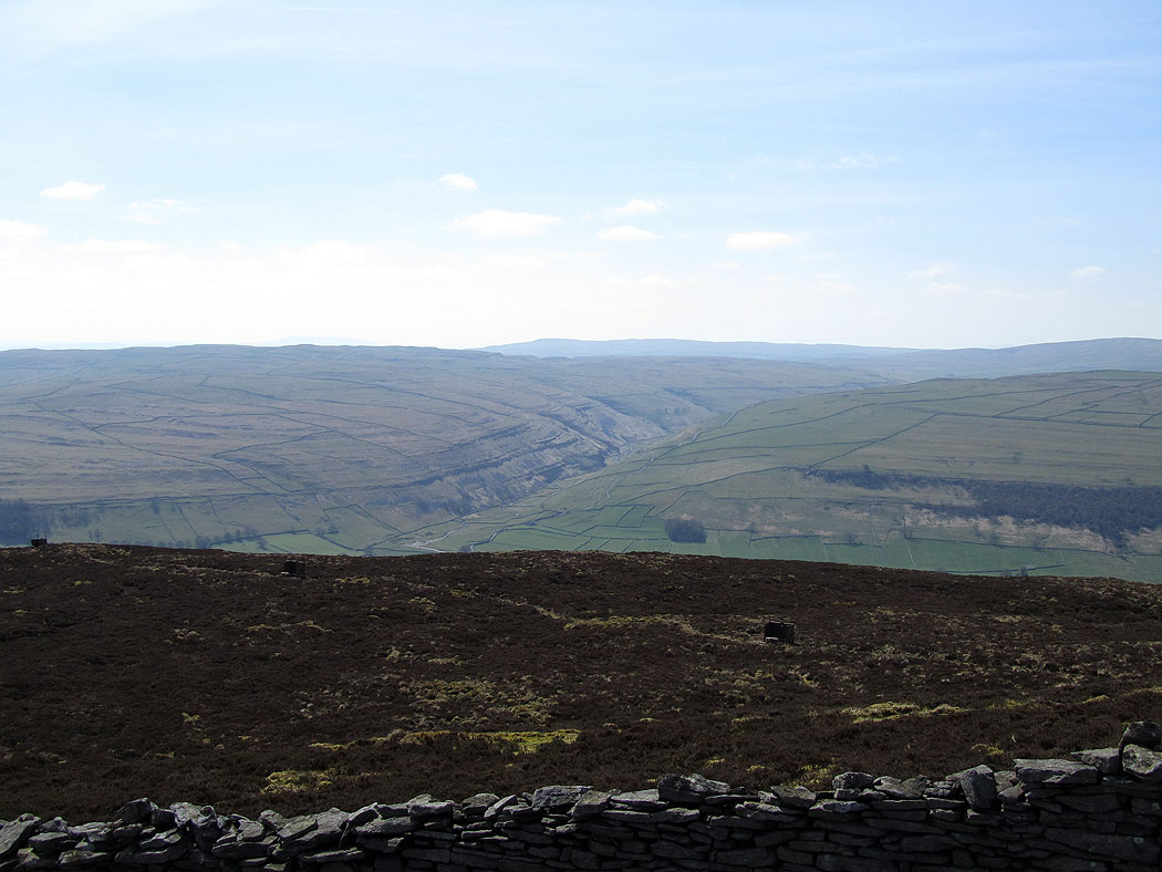
Yew Cogar Scar
Following the ridge down
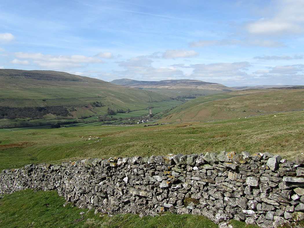
Fountains Fell and Penyghent

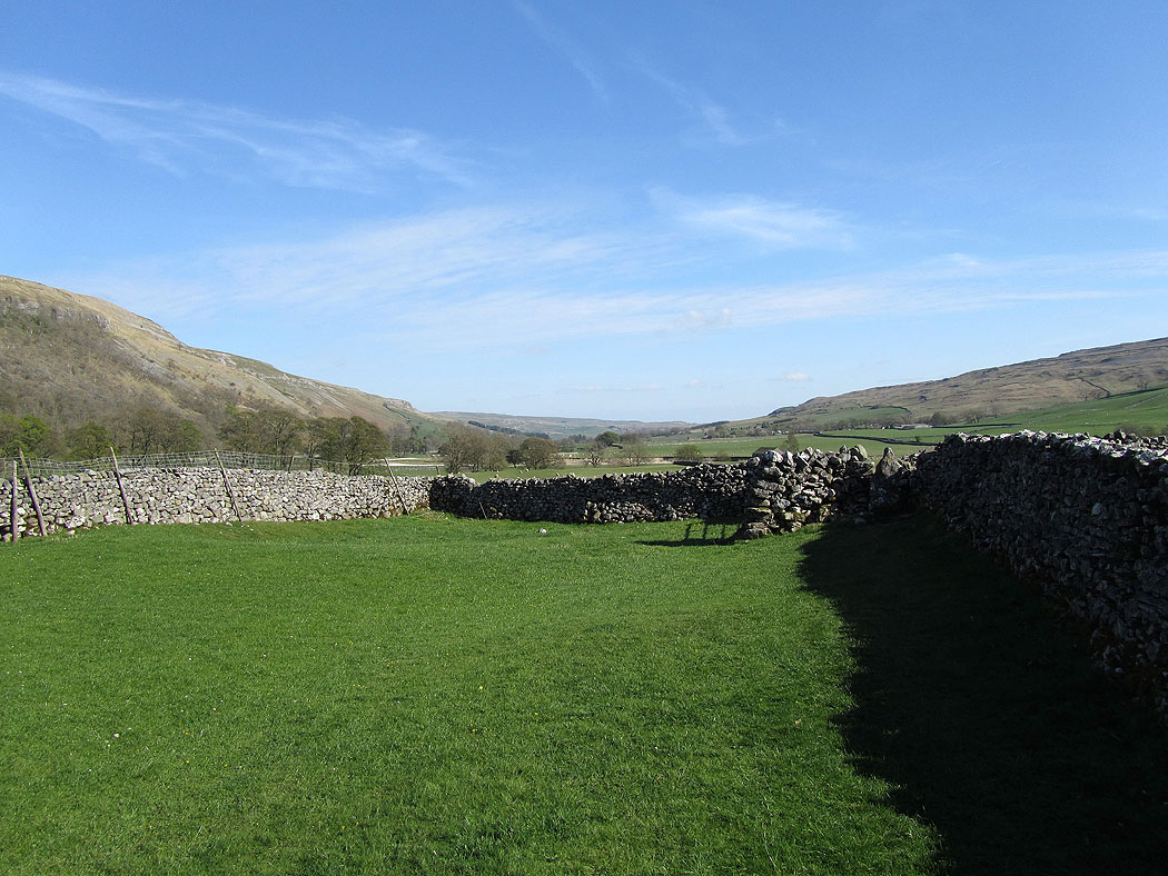
Just follow the wall
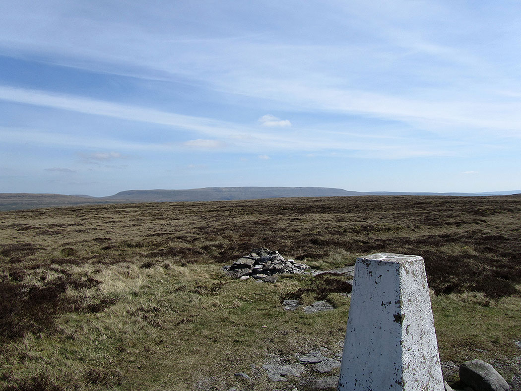
Buckden Pike
Kettlewell below Great Whernside
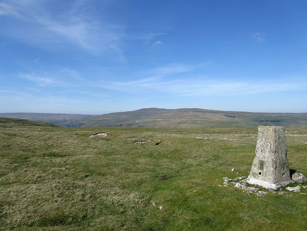
Buckden Pike from the trig point at the southern end of the ridge
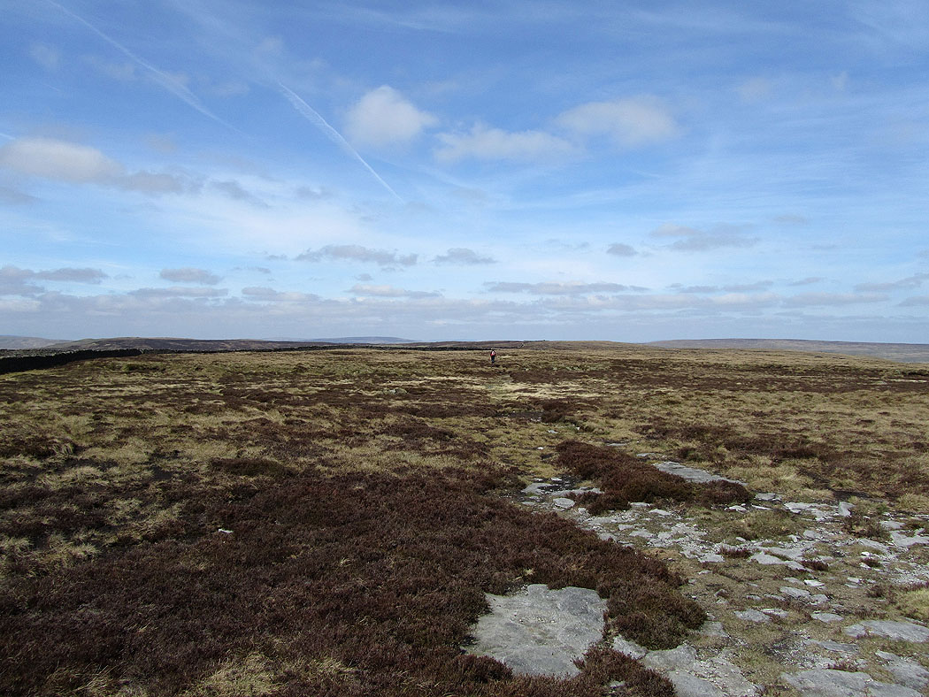
and looking back up the ridge
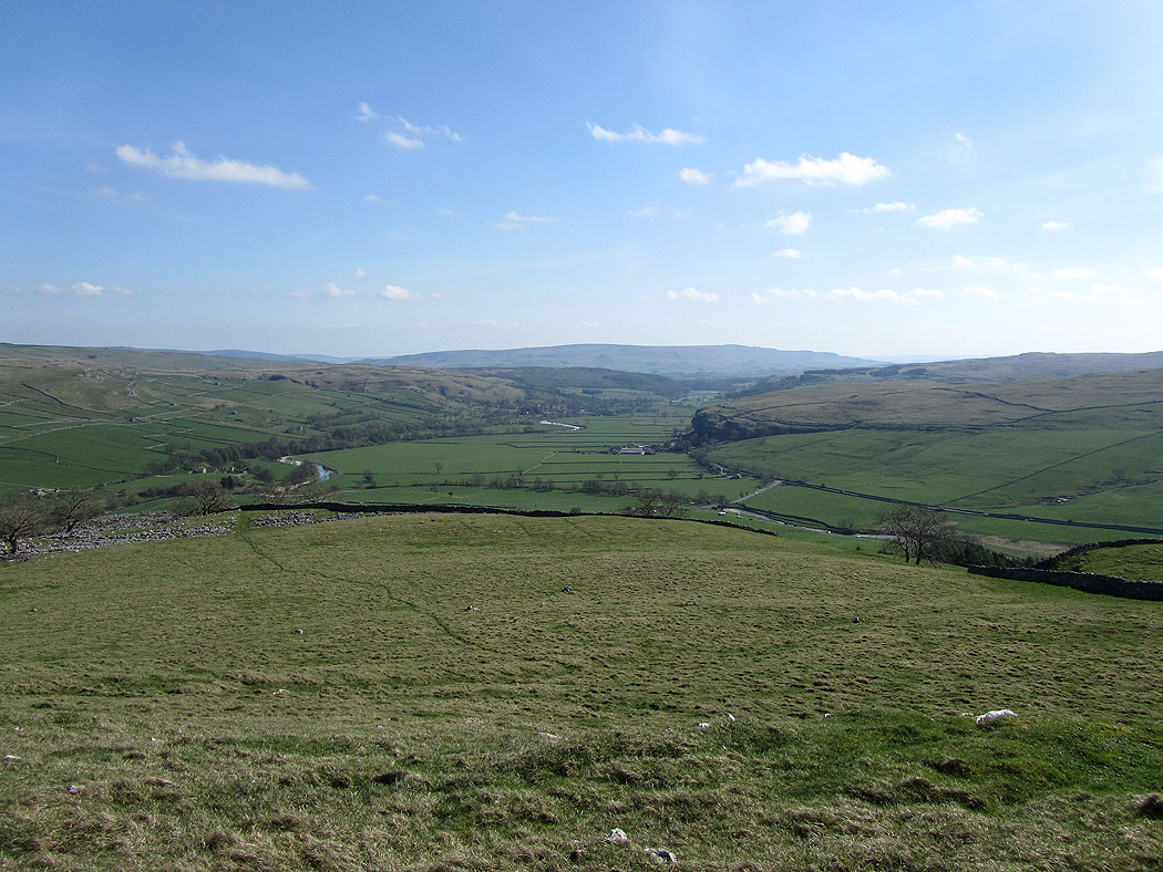
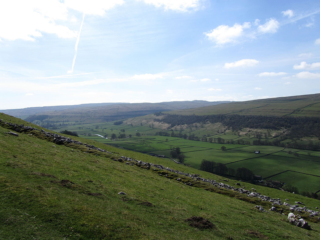
Wharfedale. Littondale is the valley joining on the right.
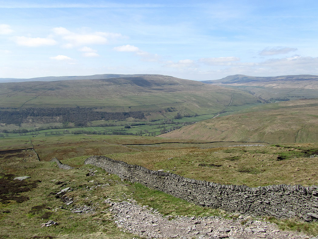
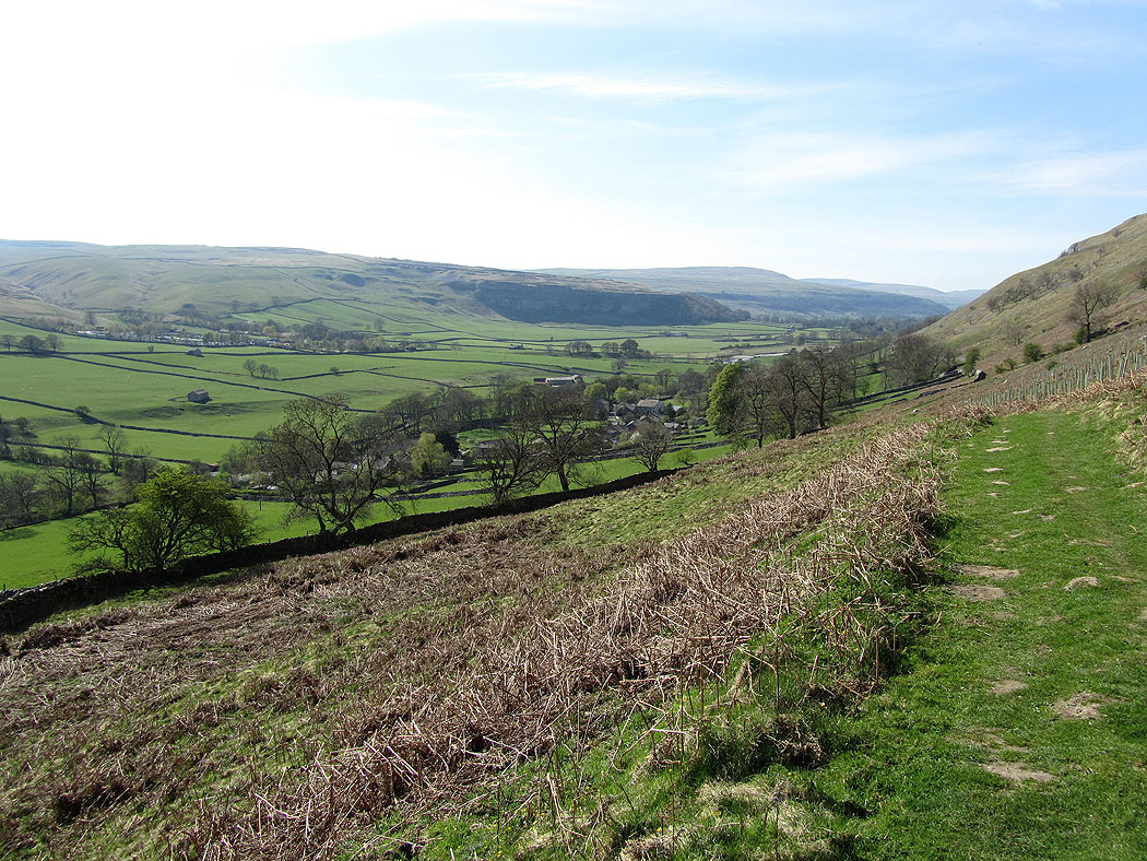
Heading down into Littondale
Following the path down to Hawkswick
Crossing the River Skirfare at Hawkswick
The River Skirfare
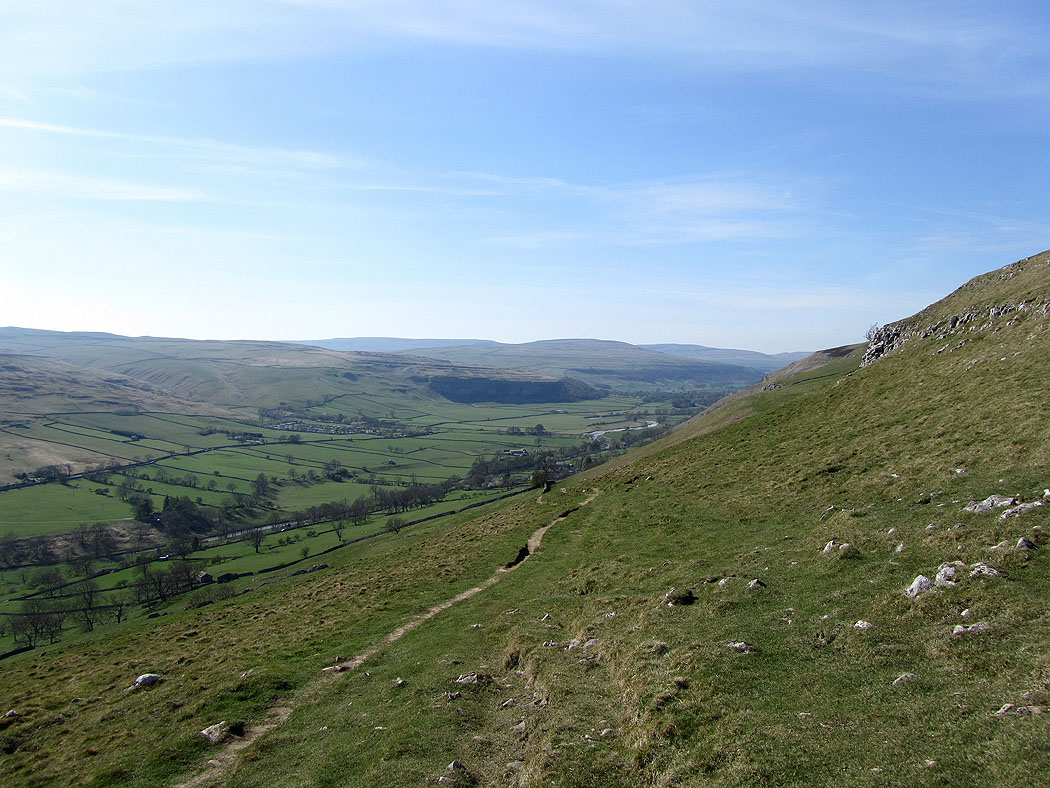
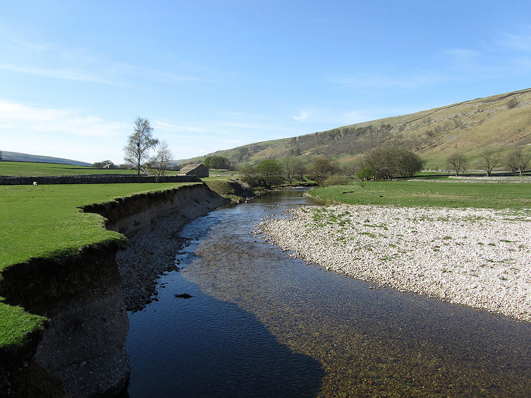
Littondale
River Skirfare
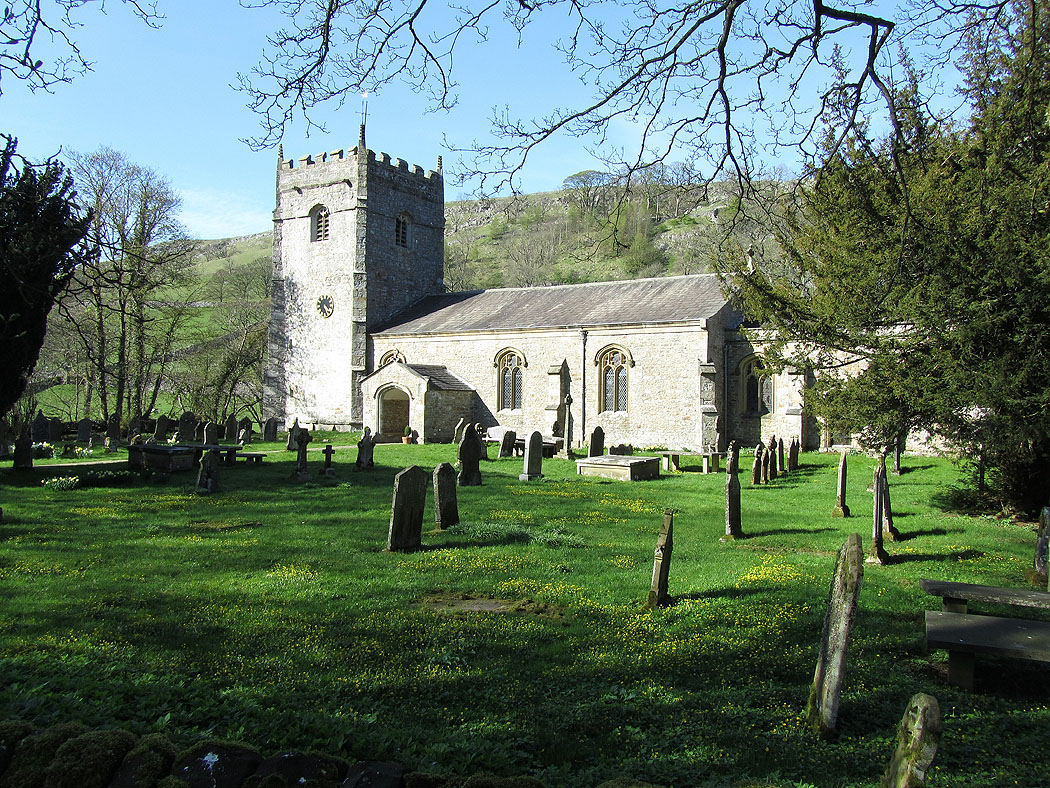
St. Oswald's church in Arncliffe
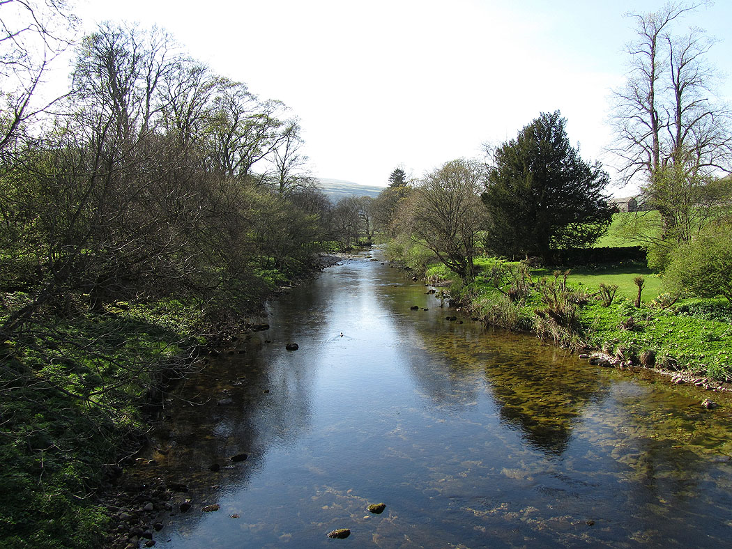
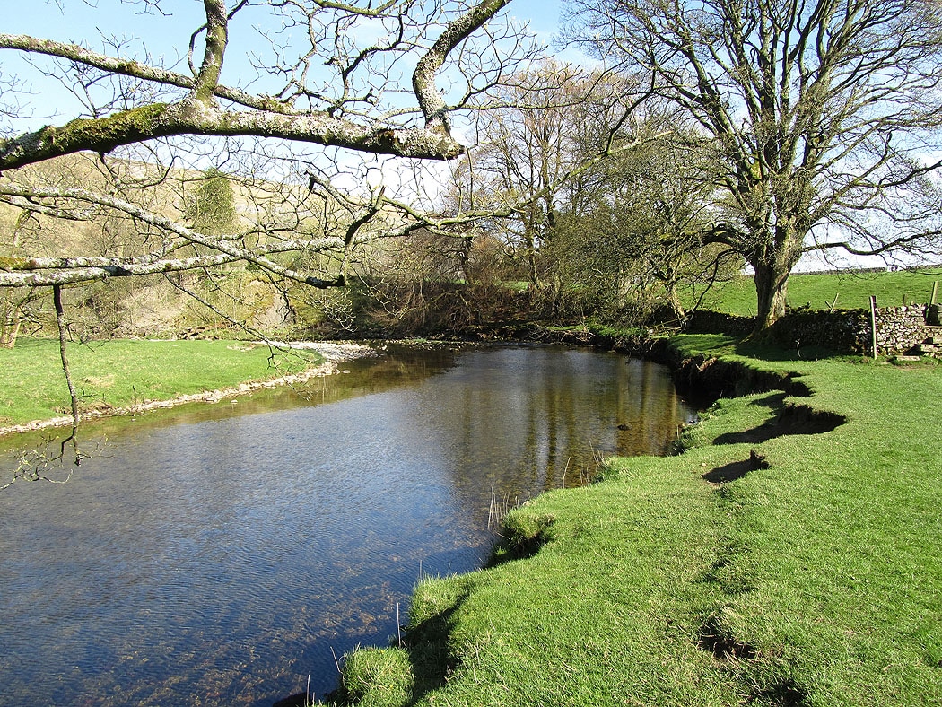
The River Skirfare in Arncliffe
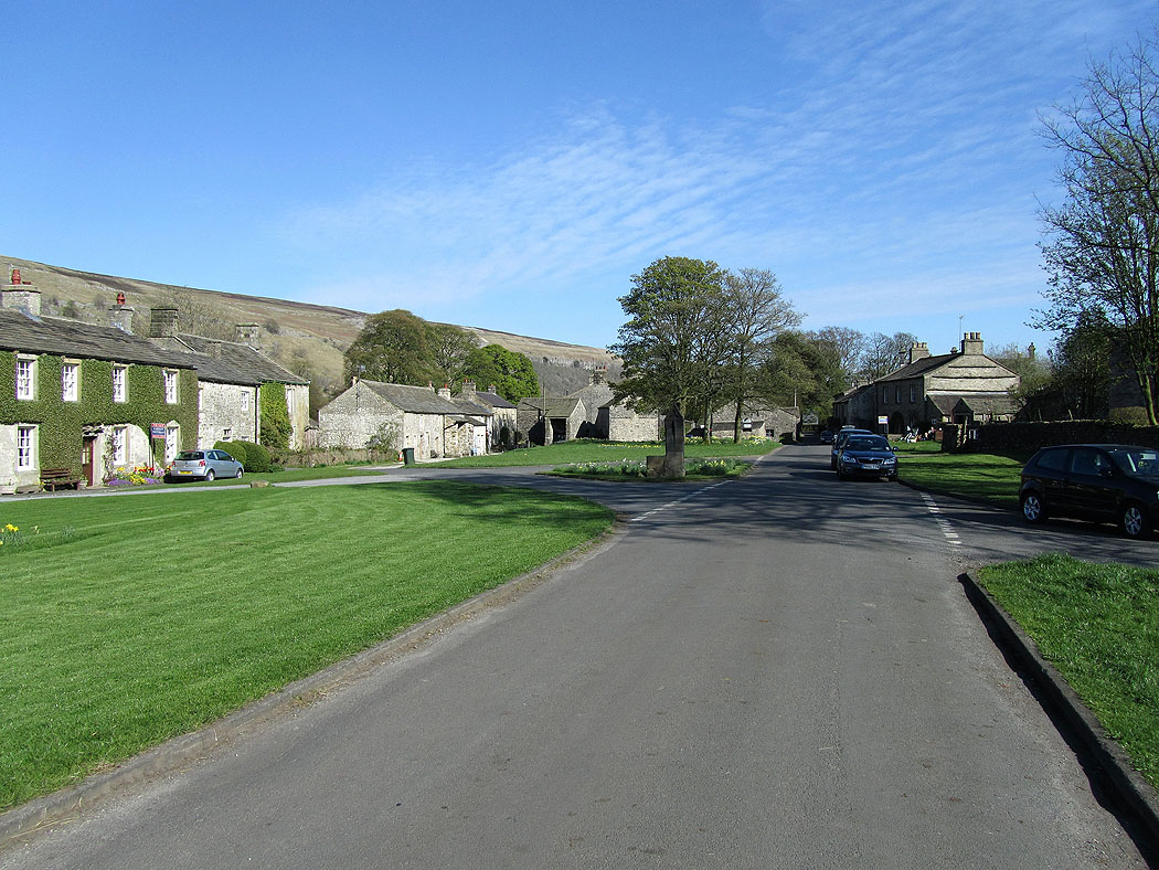
Back in Arncliffe