17th April 2017 - Fair Snape Fell and Parlick
Walk Details
Distance walked: 6.0 miles
Total ascent: 1356 ft
OS map used: OL41 - Forest of Bowland & Ribblesdale
Time taken: 4 hrs
Route description: Fell Foot-Fish House Lane-Wolfen Mill-Saddle End Farm-Saddle Fell-Fair Snape Fell-Parlick-Fell Foot
An ideal walk for a bank holiday Monday. Relatively short, close to home and it didn't involve being stuck in traffic on busy roads to get there. This route up Fair Snape Fell is a shorter version of one that I did four years ago, when I started from Chipping. I didn't have the most inspiring weather for being on the hills today. Mostly grey skies, very little in the way of sunshine and a cold breeze. It did stay dry however and very good visibility did mean distant views from the tops of the hills.
From where I parked on the roadside at Fell Foot I made my way down to Fish House Lane, which I followed east down to Wolfen Mill and up to Saddle End Farm. I then took the footpath past Saddle End Farm and up onto access land and Saddle Fell. A made path can then be followed almost all the way to the cairn that marks the summit of Fair Snape Fell. After having lunch here I made my way across to the trig point and large cairn of Paddy's Pole at the southwestern edge of the fell before returning to Fell Foot via Parlick.
Route map
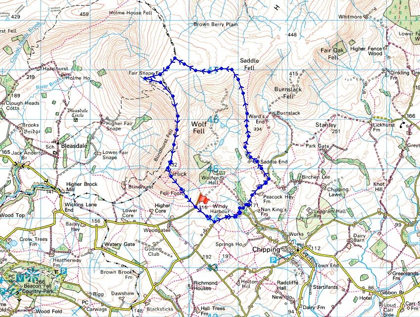
© Crown copyright. All rights reserved. License number PU 100034184.
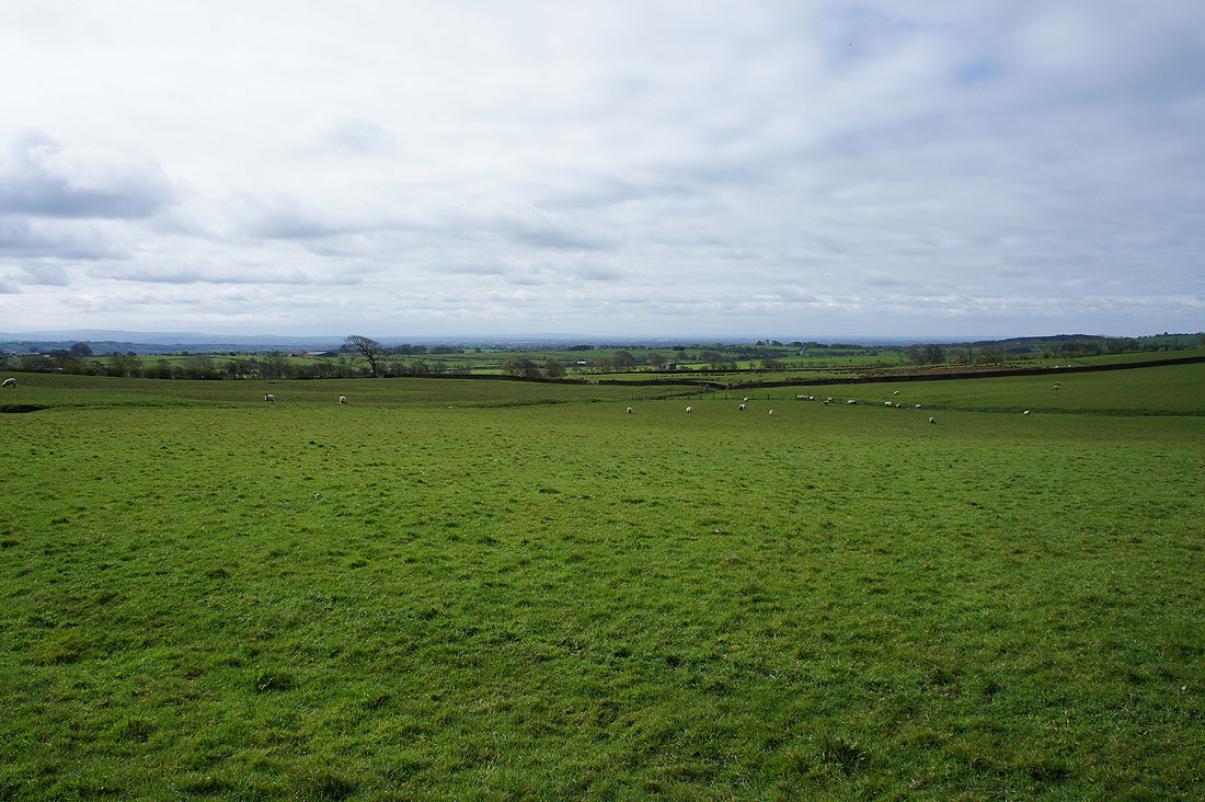
It's a fine morning as I look across Bowland farmland from Fell Foot
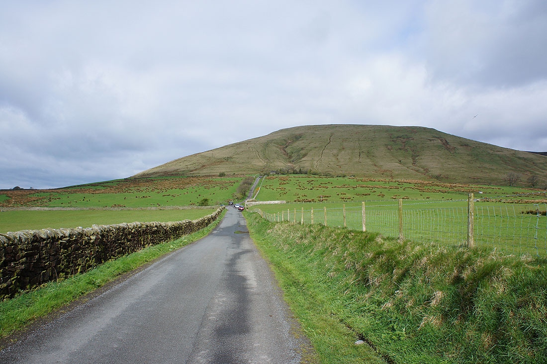
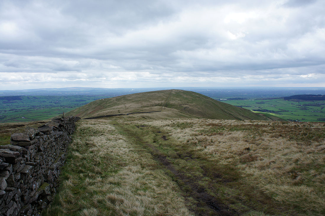
The steep front of Parlick. That slope holds some memories for me. Parlick and Fair Snape Fell were frequently climbed when I was getting into hillwalking and how often I had to stop to catch my breath climbing that hill was a good indicator as to whether I was getting any fitter or not.
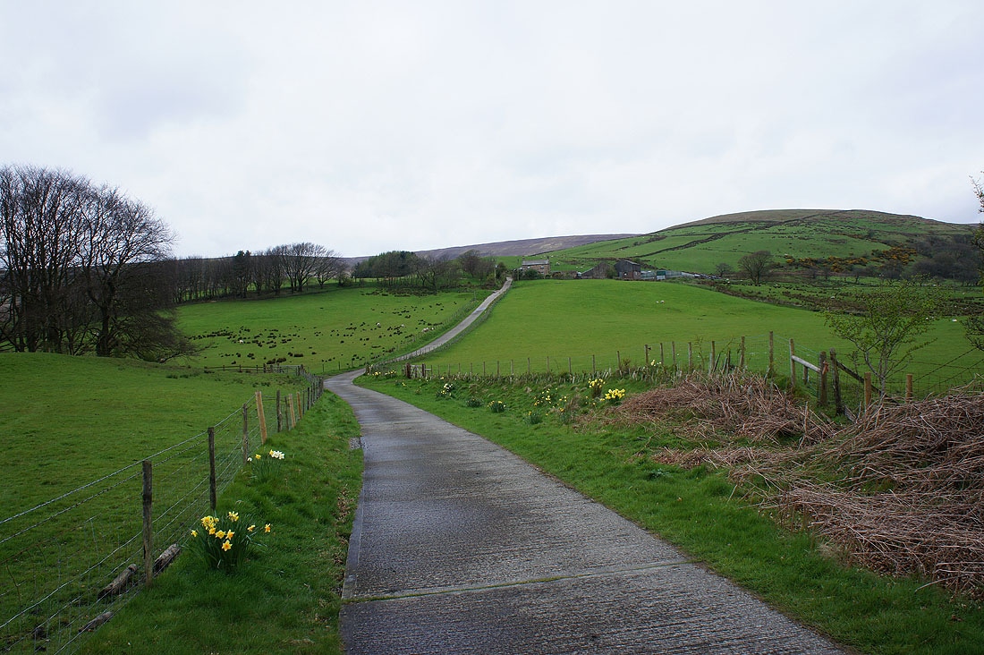
On the track to Saddle End Farm
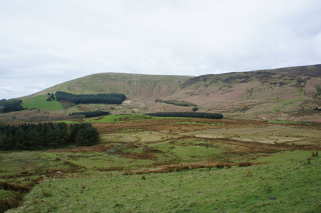
Parlick and Wolf Fell across Greenlough Clough
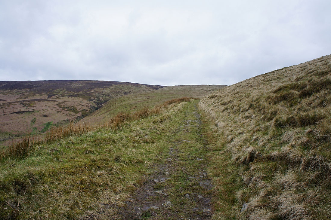
On the track up Saddle Fell

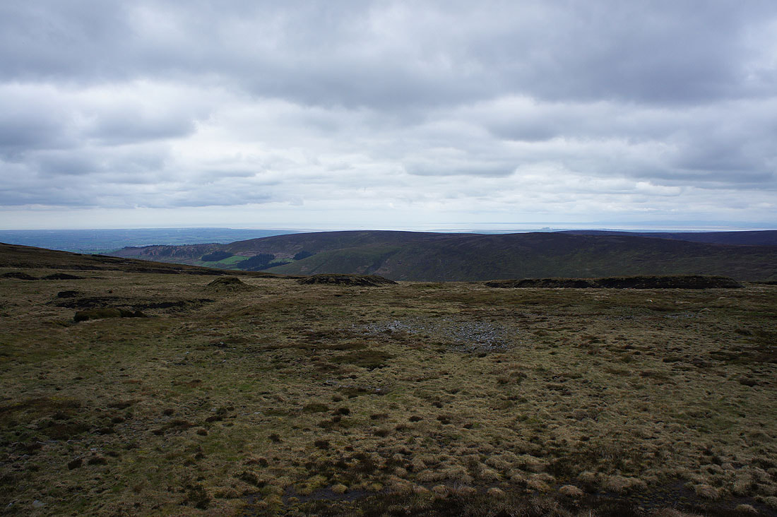
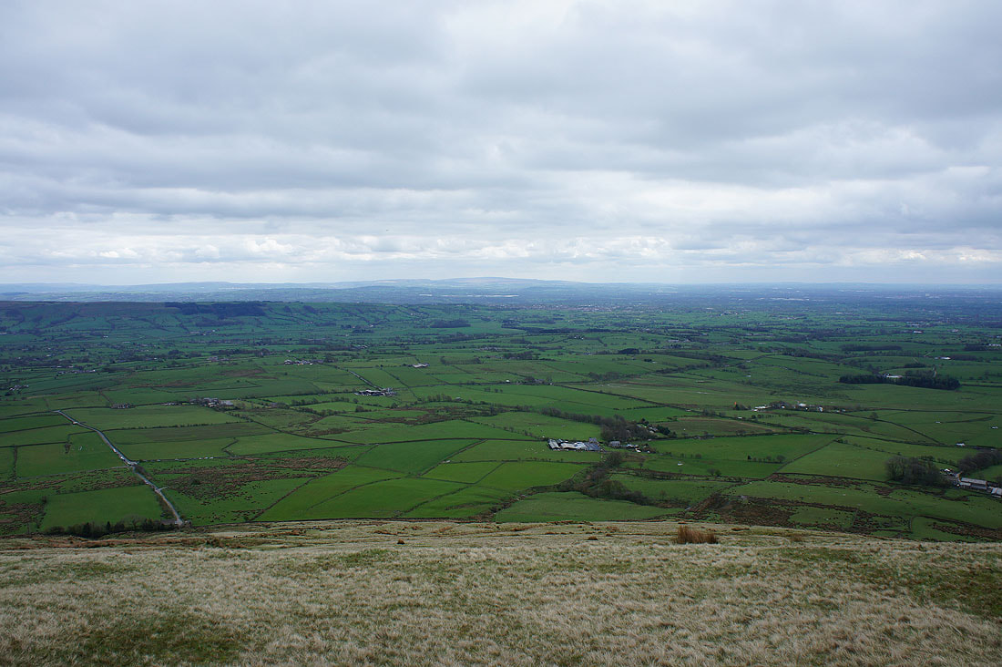
Looking west towards Preston and the coast
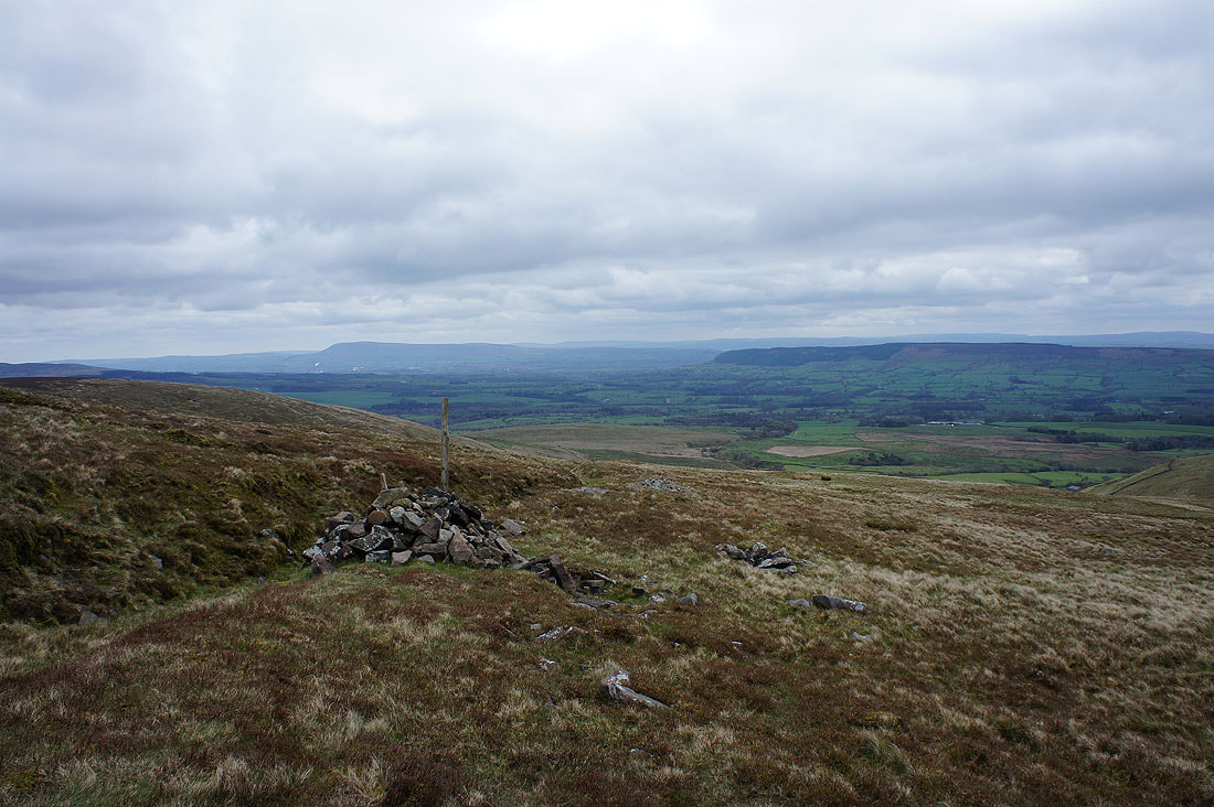
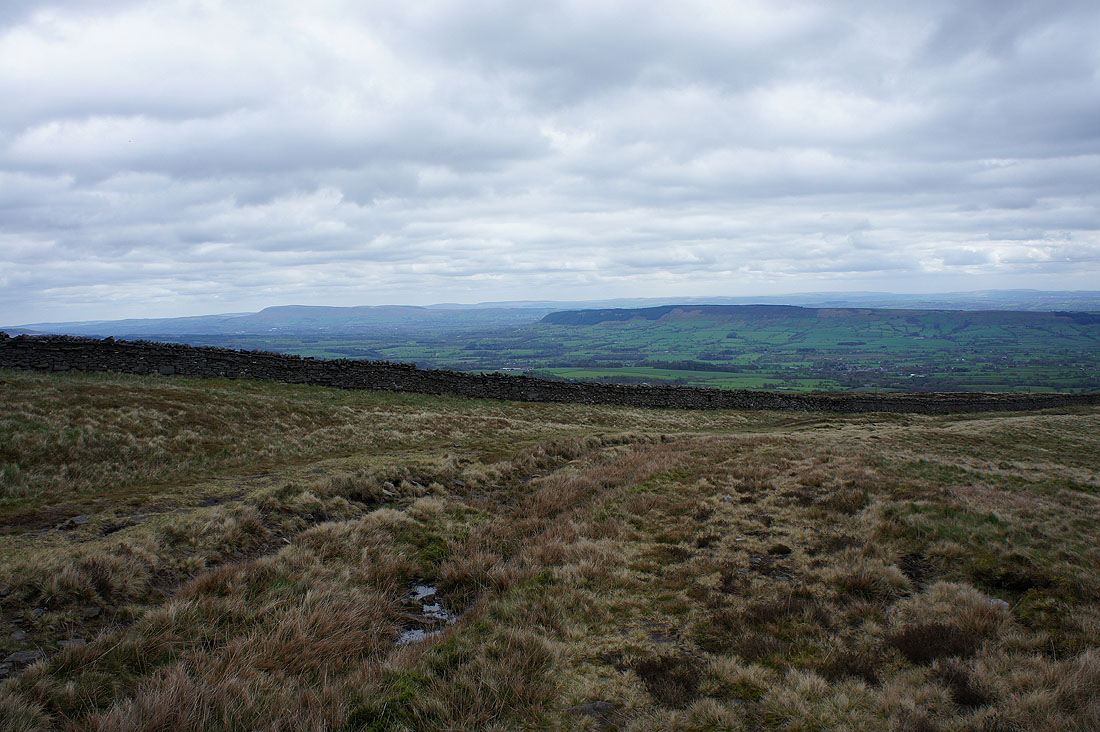
A conveniently placed cairn provides a halt for a view across the Loud valley to Longridge Fell and Pendle Hill
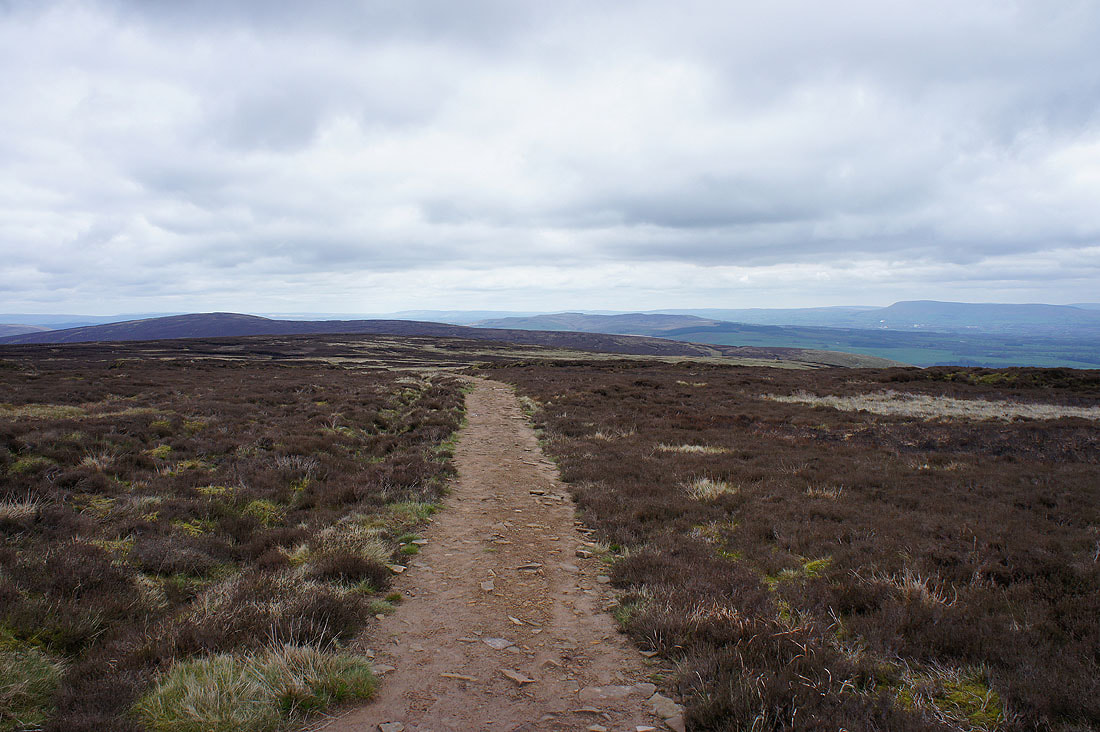
Looking back from the track that will take me almost to the summit of Fair Snape Fell. Totridge on the left, Easington Fell in the middle and Pendle Hill on the right.
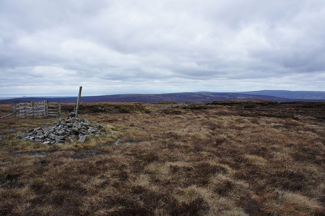
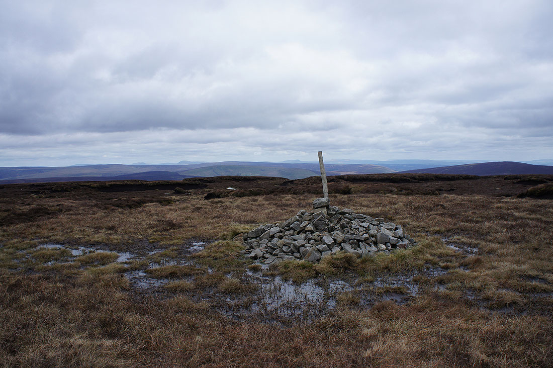
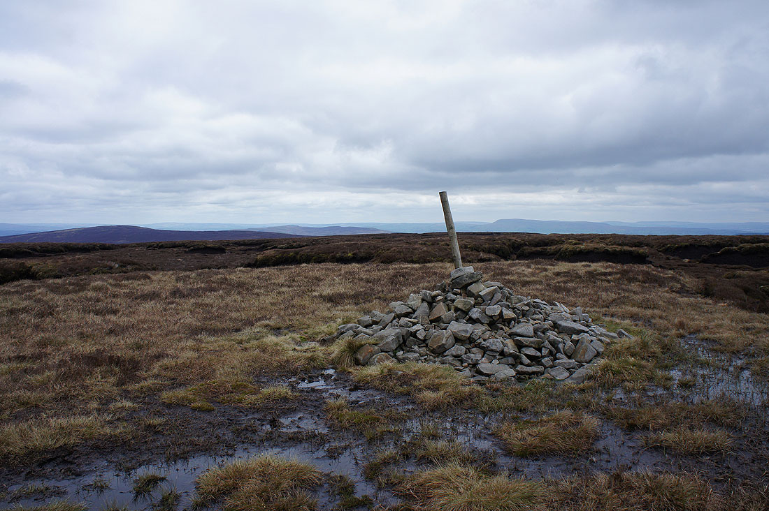
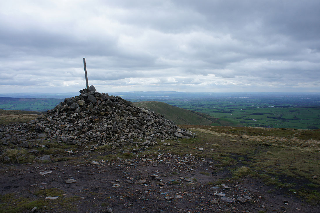
At the cairn and pole that marks the summit of Fair Snape Fell. Hints of distant Lakeland fells beyond the nearby Bowland ones.
Zooming in on the Fairfield and Helvellyn fells, I can even see Skiddaw to the left of them, and the High Street fells
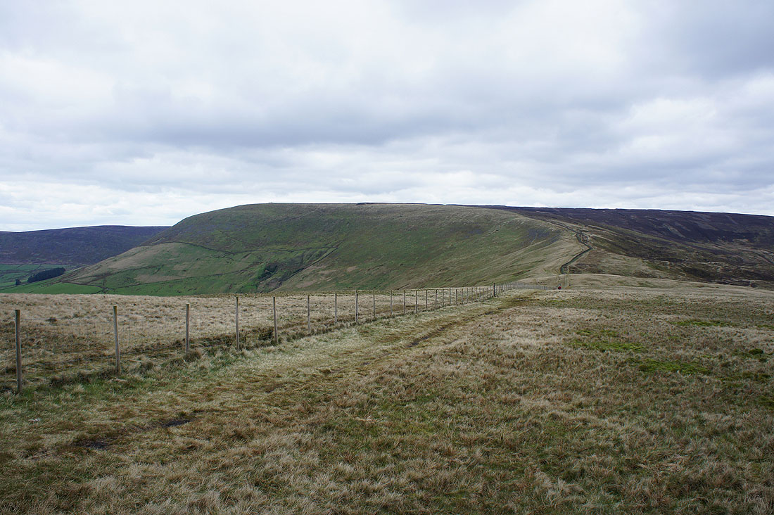
Ward's Stone and Wolfhole Crag to the north
Whernside, Ingleborough, Penyghent and Fountains Fell in the distance
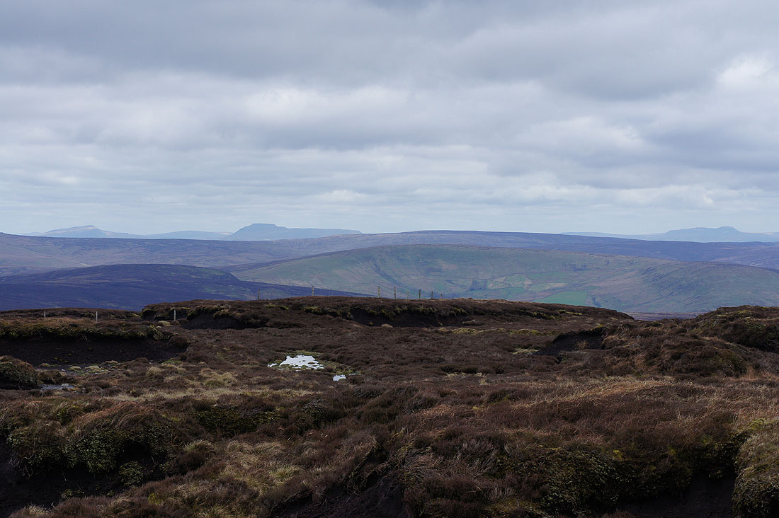
and zooming in on Whernside, Ingleborough and Penyghent
Totridge, Easington Fell and Pendle Hill
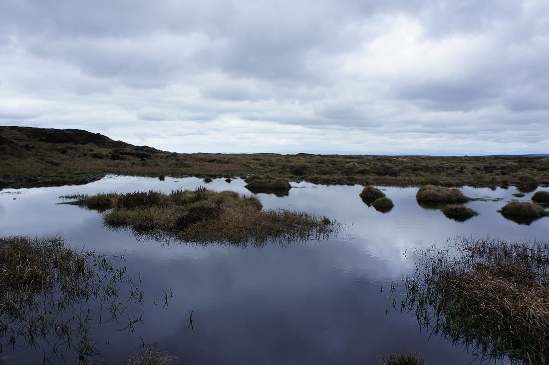
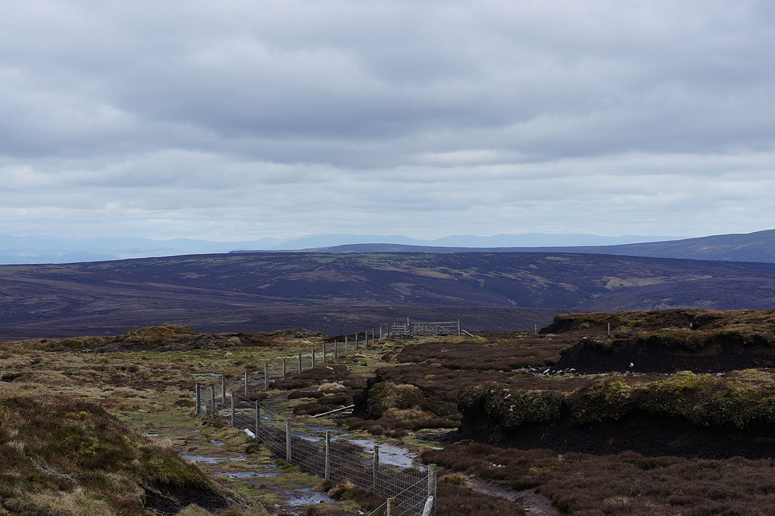
Past a pool as I head for the trig point
Morecambe Bay beyond Hazlehurst Fell
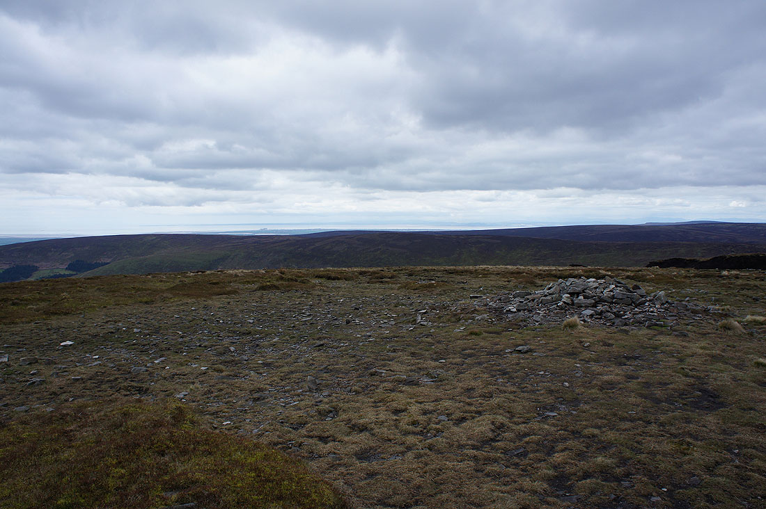
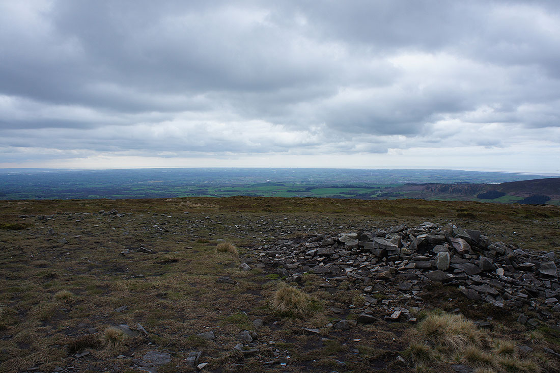
Winter Hill and the West Pennine Moors in the distance as I reach the large cairn of Paddy's Pole on the southwestern edge of Fair Snape Fell
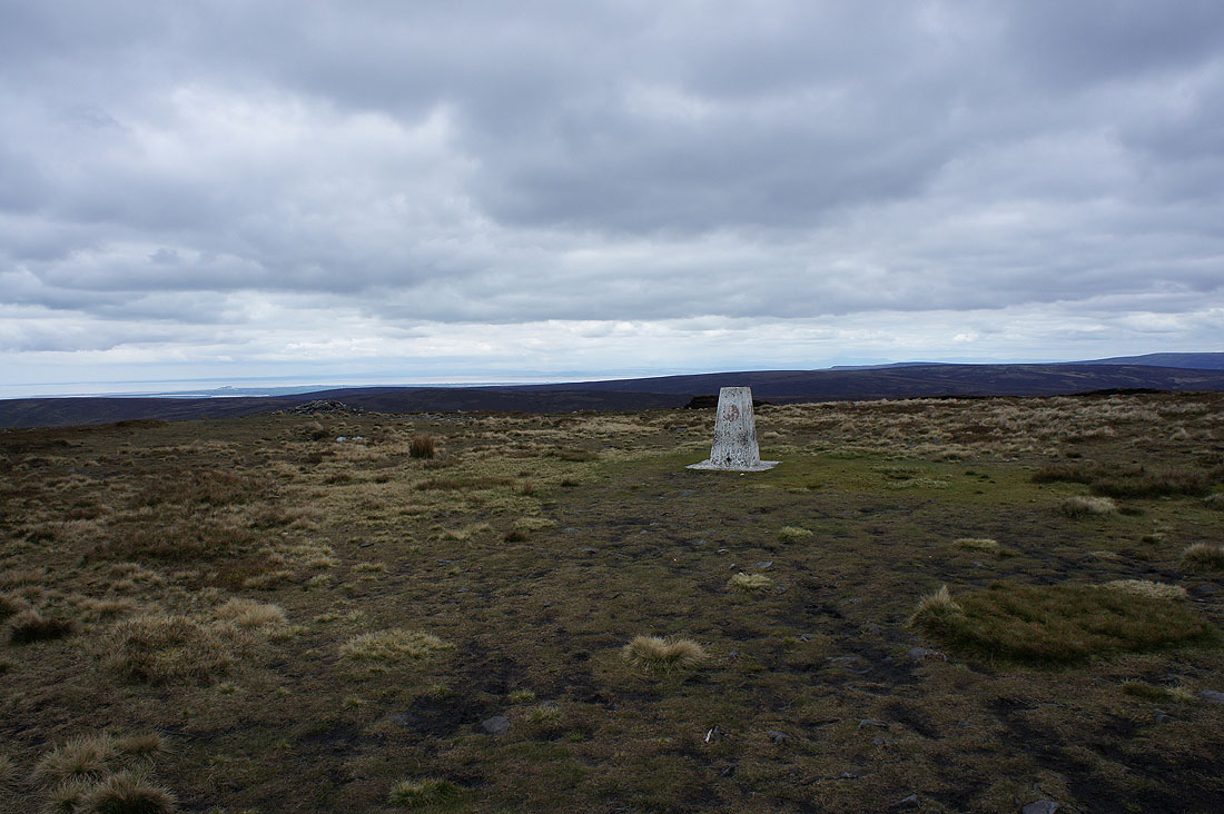
Morecambe Bay beyond nearby Hazlehurst Fell from the trig point on Fair Snape Fell
A better view if I move closer to the edge of the fell
Looking out to the Fylde coast
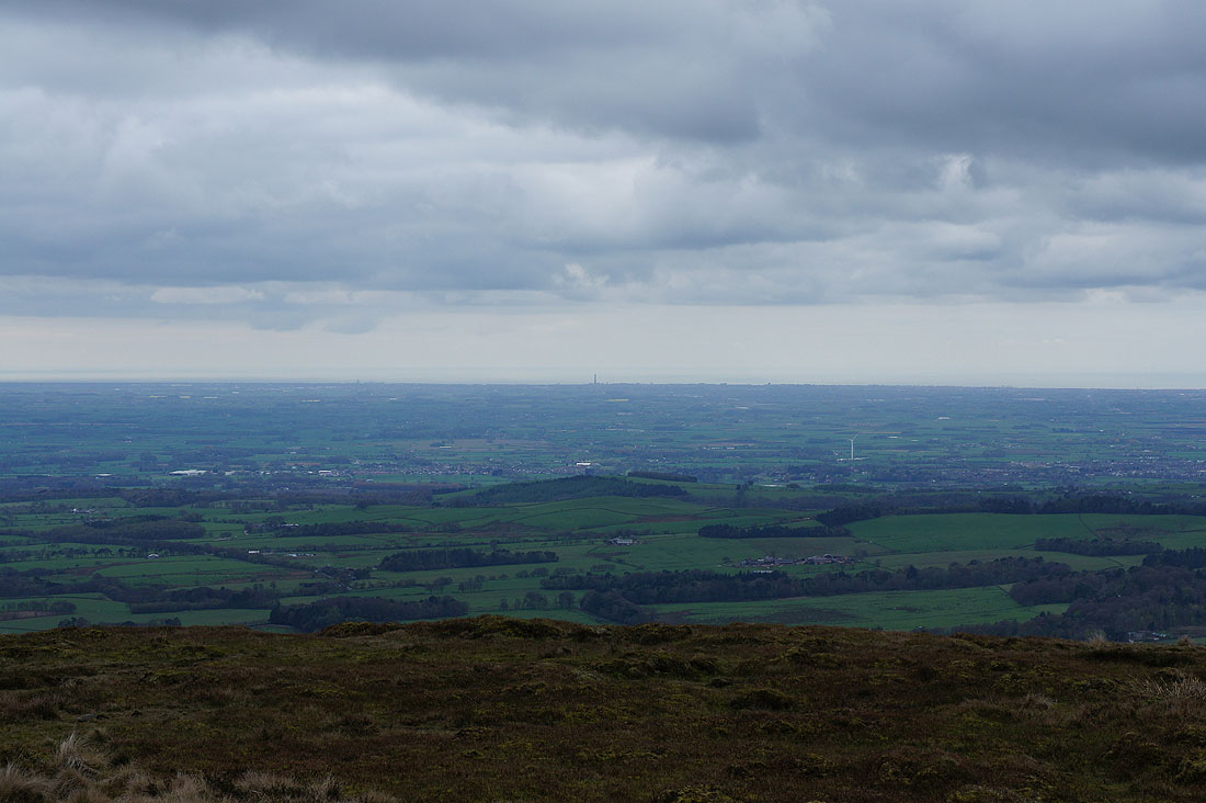
Zooming in on Blackpool Tower
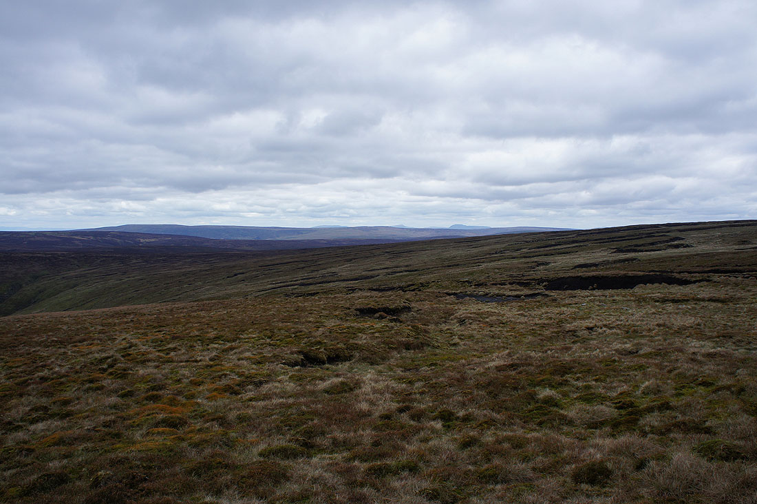
The tops of Great Coum, Whernside and Ingleborough beyond Ward's Stone and Wolfhole Crag
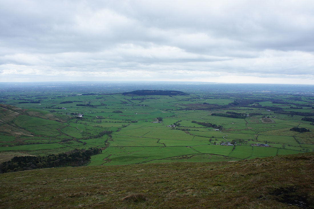
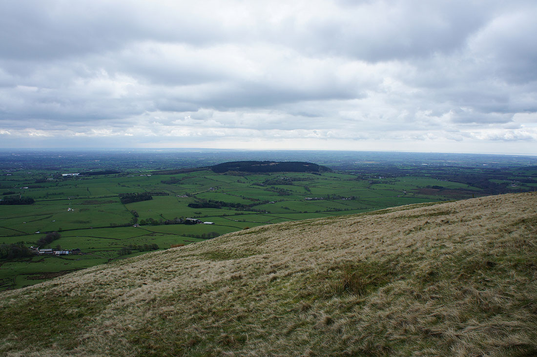
Beacon Fell below
Longridge Fell and Parlick
Pendle Hill and Longridge Fell..
..as I head for Parlick
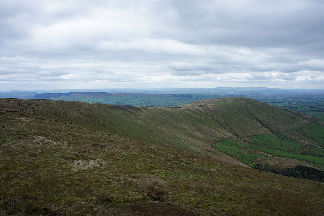
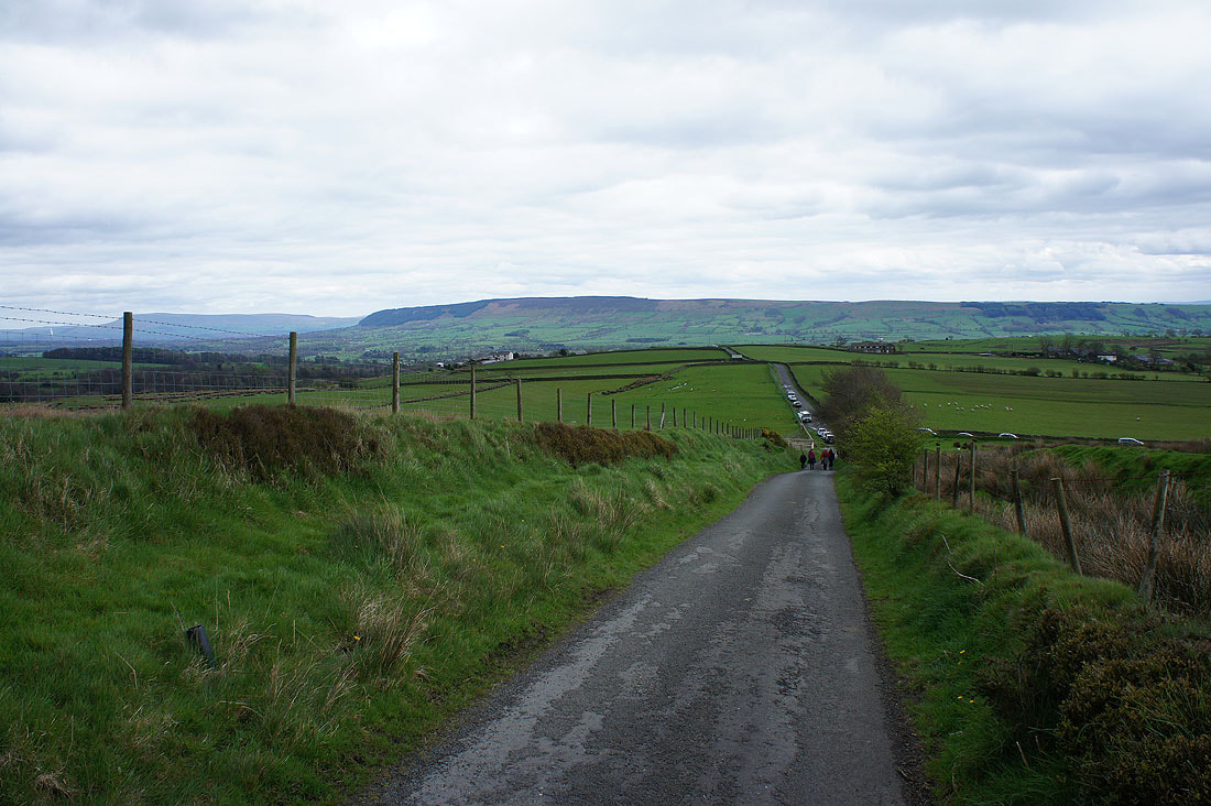
Looking back to Fair Snape Fell from Parlick

Pendle Hill, Longridge Fell, the Loud valley and Chipping
Distant West Pennine Moors
Beacon Fell
Back down at Fell Foot