17th April 2022 - Around Barden Moor
Walk Details
Distance walked: 12.0 miles
Total ascent: 1855 ft
OS map used: OL2 - Yorkshire Dales, Southern & Western areas
Time taken: 7.5 hrs
Route description: Embsay-Kirk Lane-Embsay Crag-Embsay Moor-Upper Barden Reservoir-Burnsall Fell-Cracoe Fell-Rylstone Cross-High Bark-Waterfall Gill-Crookrise Crag Top-Embsay Reservoir-Pasture Road-Embsay
I decided to stay pretty close to home for the walks that I've got planned for this weekend, which is forecast to have some fine spring weather. Today's has me starting from Embsay and takes me on a route across various sections of Barden Moor. My first walk on Barden Moor was in September 2011, the route I followed was quite close to this one, and during the years since I think I've walked along most of the paths across it, and started from many different locations around it. It turned out to be a nice day for being up on the moors with lots of spring sunshine (though it was quite hazy at times because of high cloud), a strong breeze, and a haze, which limited the visibility to the nearby moors.
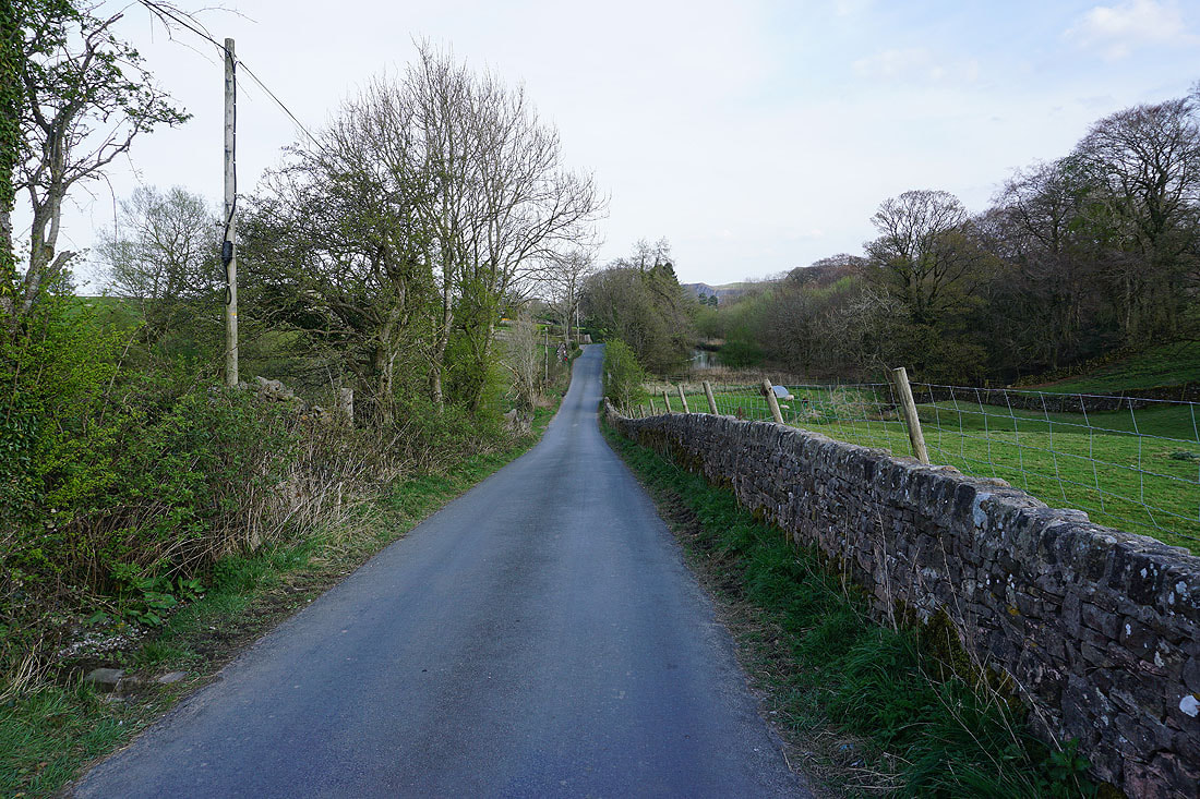
From the car park on Main Street in Embsay I took the footpath from the back of the car park and followed it across a couple of fields to Kirk Lane, then walked north up Kirk Lane and round the right hand bend to reach a bridleway on the left signposted for Embsay Crag. I took this and followed it north onto access land and then up to the top of Embsay Crag. Once I'd taken in the view I made my way north on a path across Embsay Moor until I reached the bridleway that crosses the moor to Rylstone, crossed this, then took the track down to Upper Barden Reservoir. After crossing its dam I took the upper of two tracks, followed this across the moor past a small reservoir, then turned left and took another track west up the moor past a chimney to reach a shooting hut and shelter, where I stopped for lunch. Once I'd finished my break I kept on this track and followed it west and then southwest until I reached its end at Peter's Crag, where I went through a gate, and then made my way across the moor and up to the war memorial on Cracoe Fell. After taking in the view I made my way along the crags on the moorland edge down to Rylstone Cross, crossed the ladder stile over the wall there, then took the path down High Bark to reach the bridleway down to Rylstone. I crossed this and took the path opposite down to and across Waterfall Gill, then up to Crookrise Crag Top. I reached the trig point by climbing over the ladder stile. From the trig point I made my way south along the edge of Crookrise Crag, keeping on the western side of the wall as long as I could, then down to Embsay Reservoir, and along the bridleway to the top of Pasture Road. I then walked down Pasture Road until I reached a public footpath on the left, which I took and followed across fields to the back of the car park on Main Street.
Total ascent: 1855 ft
OS map used: OL2 - Yorkshire Dales, Southern & Western areas
Time taken: 7.5 hrs
Route description: Embsay-Kirk Lane-Embsay Crag-Embsay Moor-Upper Barden Reservoir-Burnsall Fell-Cracoe Fell-Rylstone Cross-High Bark-Waterfall Gill-Crookrise Crag Top-Embsay Reservoir-Pasture Road-Embsay
I decided to stay pretty close to home for the walks that I've got planned for this weekend, which is forecast to have some fine spring weather. Today's has me starting from Embsay and takes me on a route across various sections of Barden Moor. My first walk on Barden Moor was in September 2011, the route I followed was quite close to this one, and during the years since I think I've walked along most of the paths across it, and started from many different locations around it. It turned out to be a nice day for being up on the moors with lots of spring sunshine (though it was quite hazy at times because of high cloud), a strong breeze, and a haze, which limited the visibility to the nearby moors.
From the car park on Main Street in Embsay I took the footpath from the back of the car park and followed it across a couple of fields to Kirk Lane, then walked north up Kirk Lane and round the right hand bend to reach a bridleway on the left signposted for Embsay Crag. I took this and followed it north onto access land and then up to the top of Embsay Crag. Once I'd taken in the view I made my way north on a path across Embsay Moor until I reached the bridleway that crosses the moor to Rylstone, crossed this, then took the track down to Upper Barden Reservoir. After crossing its dam I took the upper of two tracks, followed this across the moor past a small reservoir, then turned left and took another track west up the moor past a chimney to reach a shooting hut and shelter, where I stopped for lunch. Once I'd finished my break I kept on this track and followed it west and then southwest until I reached its end at Peter's Crag, where I went through a gate, and then made my way across the moor and up to the war memorial on Cracoe Fell. After taking in the view I made my way along the crags on the moorland edge down to Rylstone Cross, crossed the ladder stile over the wall there, then took the path down High Bark to reach the bridleway down to Rylstone. I crossed this and took the path opposite down to and across Waterfall Gill, then up to Crookrise Crag Top. I reached the trig point by climbing over the ladder stile. From the trig point I made my way south along the edge of Crookrise Crag, keeping on the western side of the wall as long as I could, then down to Embsay Reservoir, and along the bridleway to the top of Pasture Road. I then walked down Pasture Road until I reached a public footpath on the left, which I took and followed across fields to the back of the car park on Main Street.
Route map
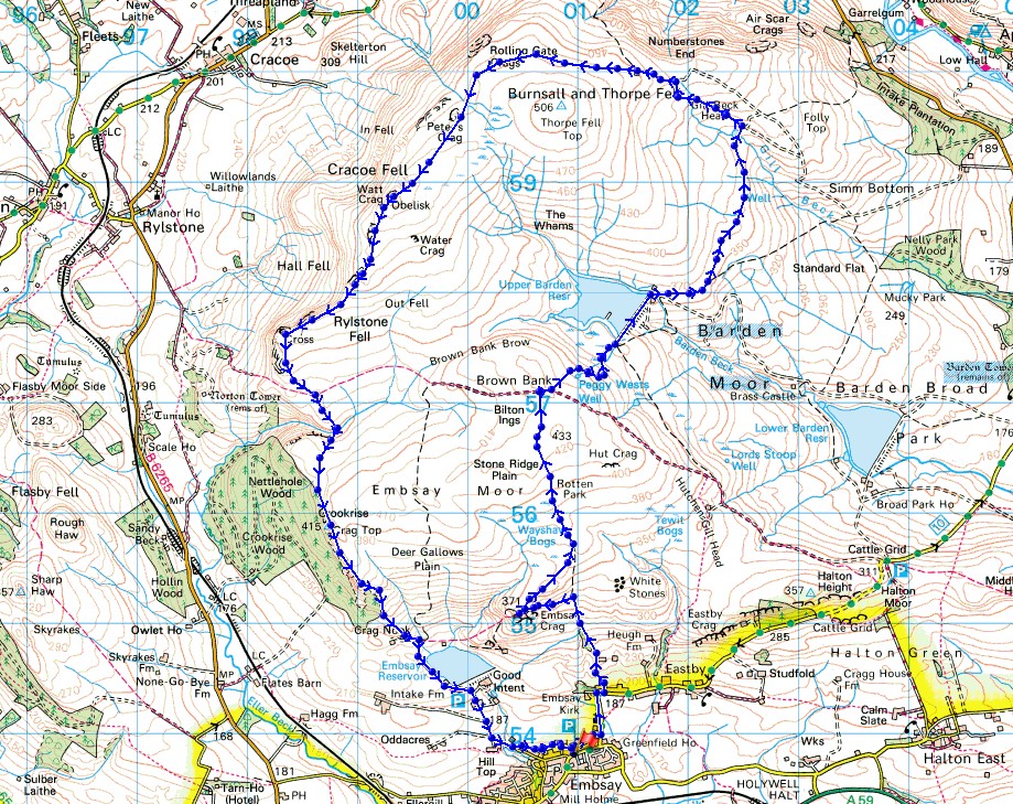
© Crown copyright. All rights reserved. License number PU 100034184.
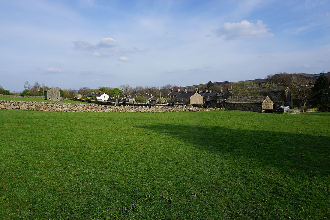
Eastby Crag in the distance as I set off from Embsay
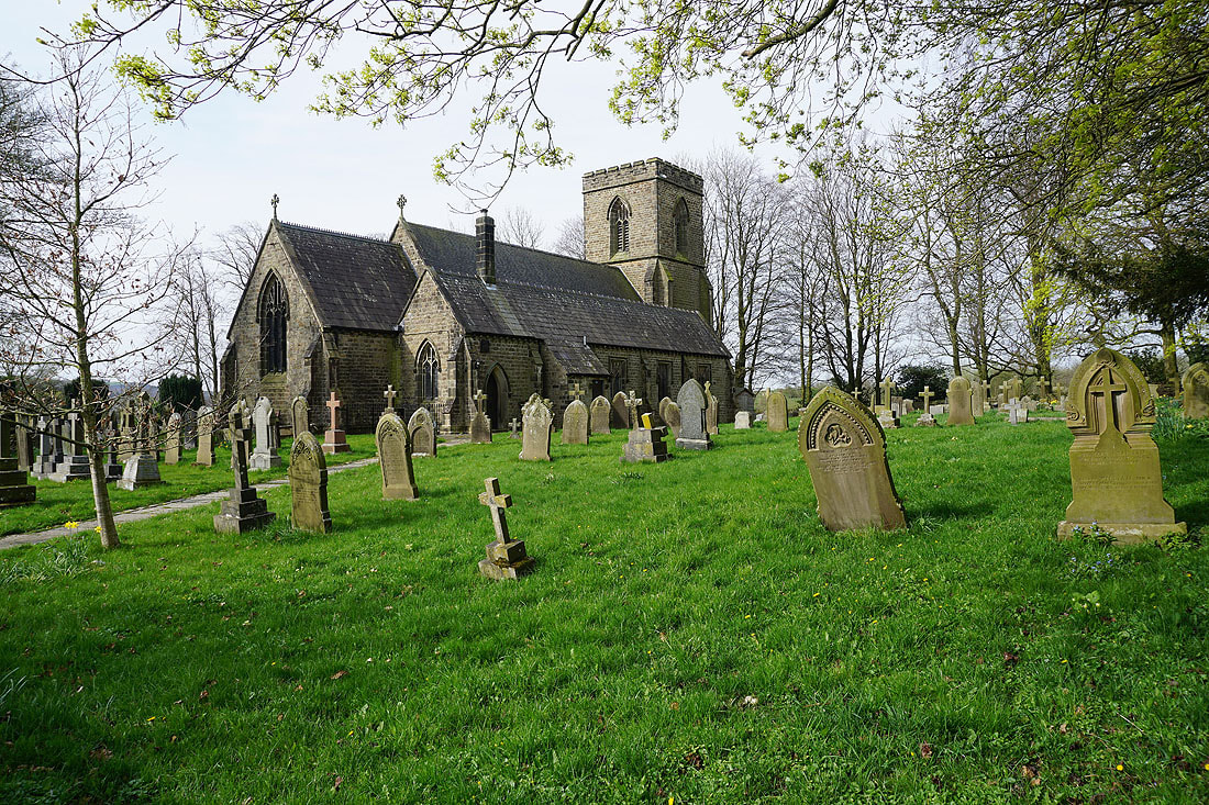
St. Mary's church in Embsay
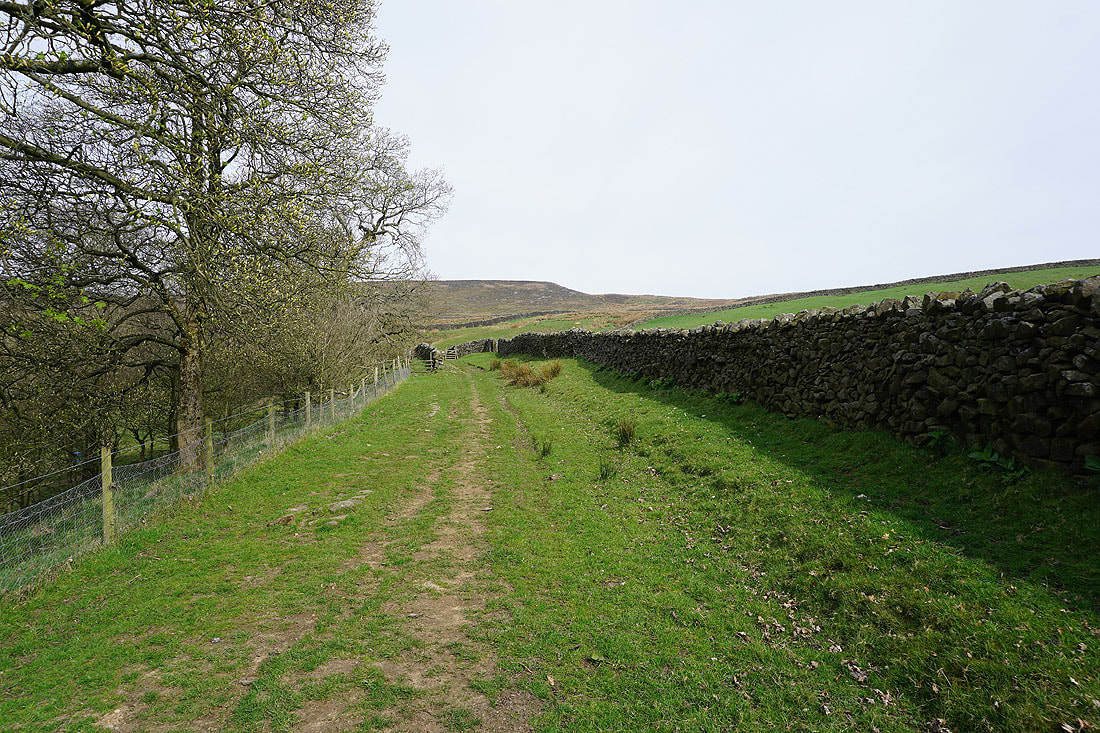
Walking up the bridleway to access land and Embsay Crag
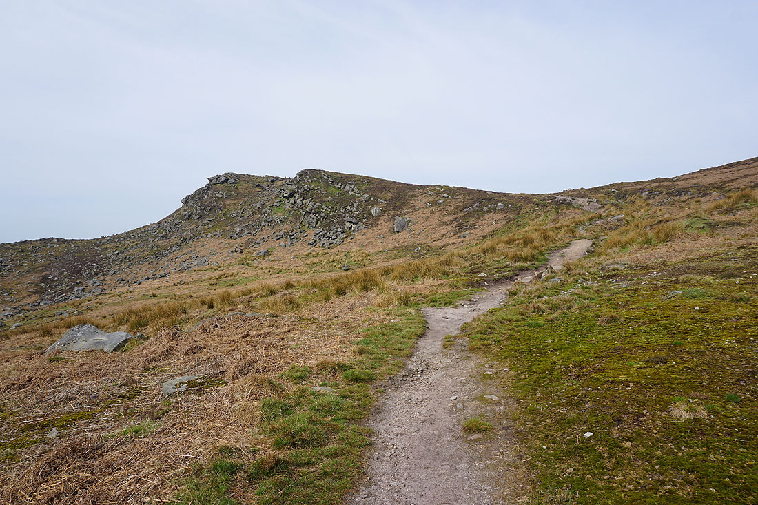
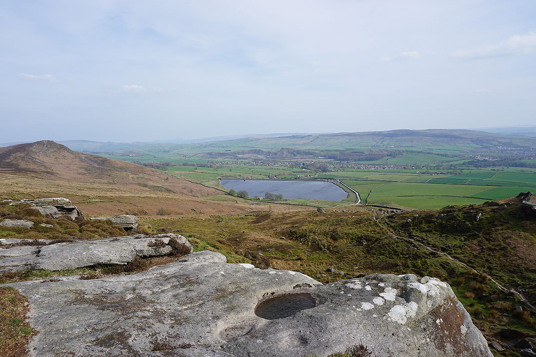
The top of Embsay Crag is just a short climb away
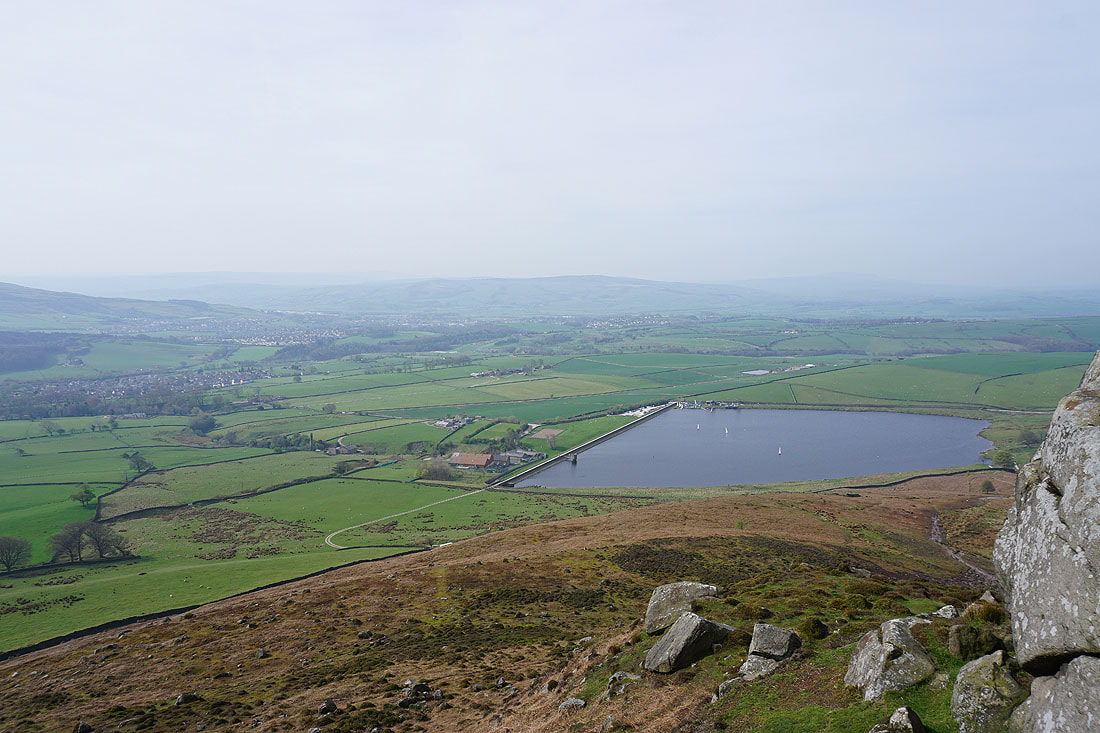
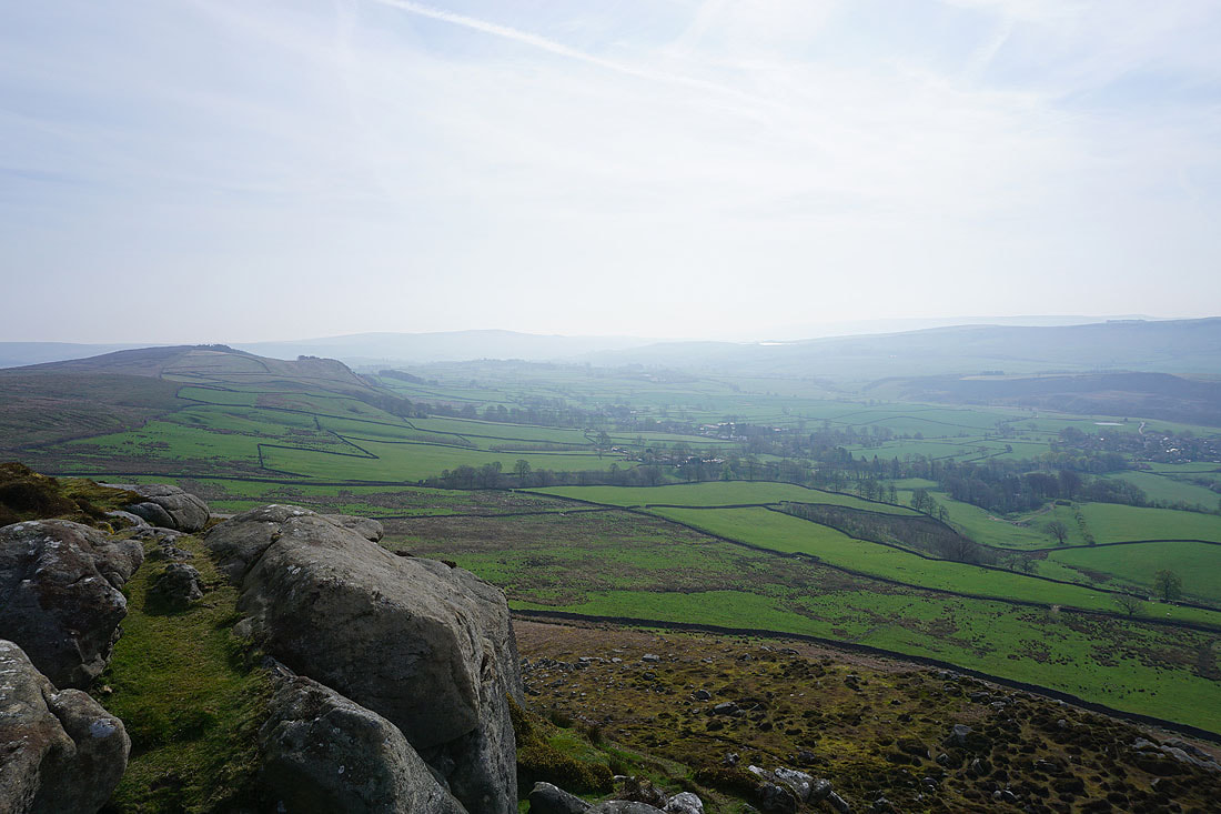
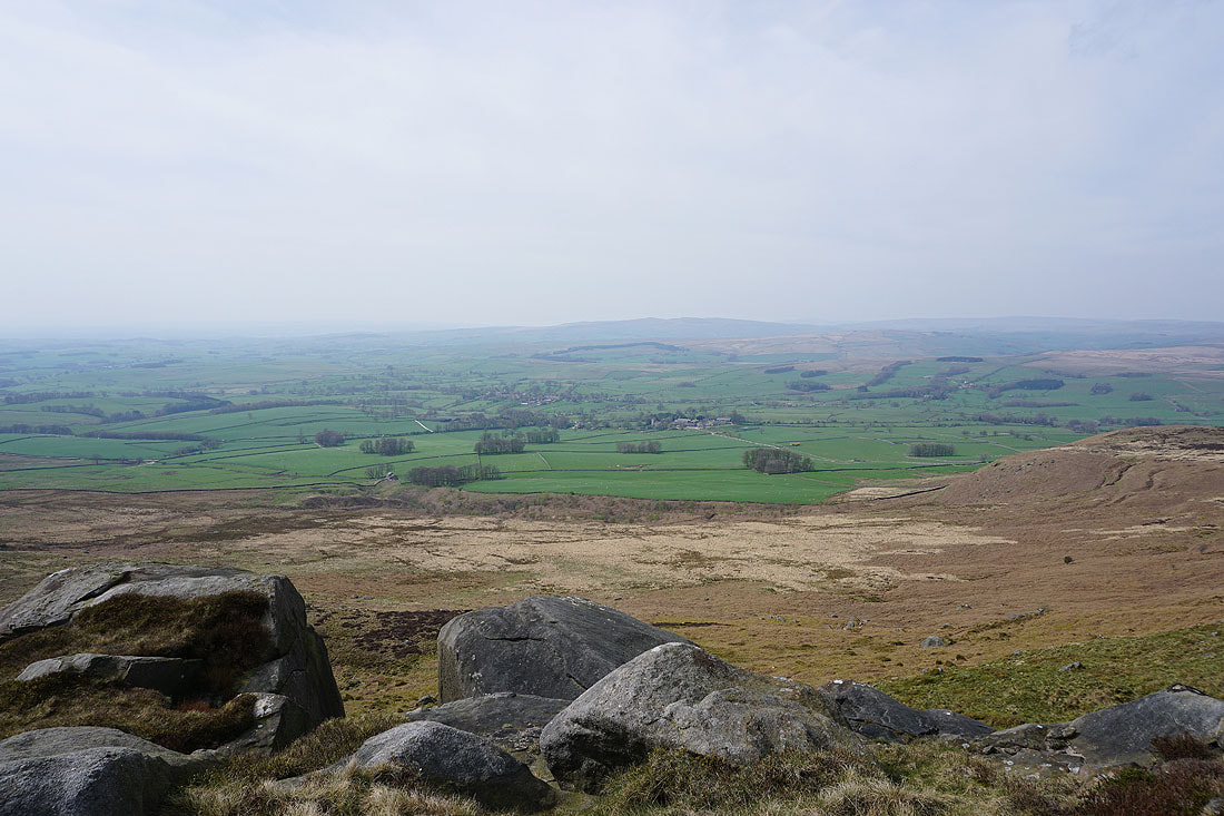
On the top of Embsay Crag. Embsay, Skipton, and Pinhaw Beacon, with Embsay Reservoir below.
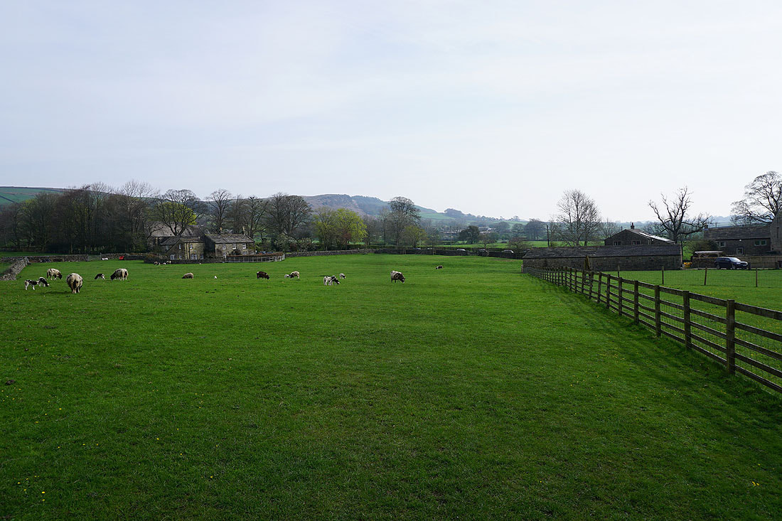
The hillside of Deer Gallows
Looking east to Halton Height, with a hazy Beamsley Beacon in the distance
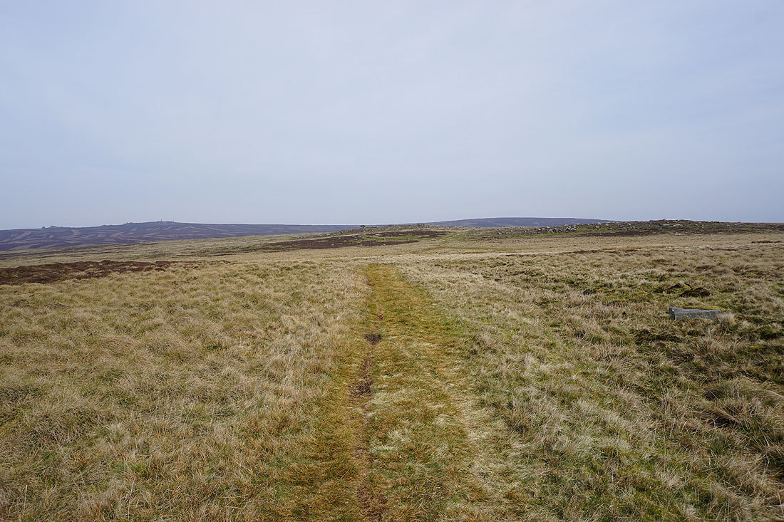
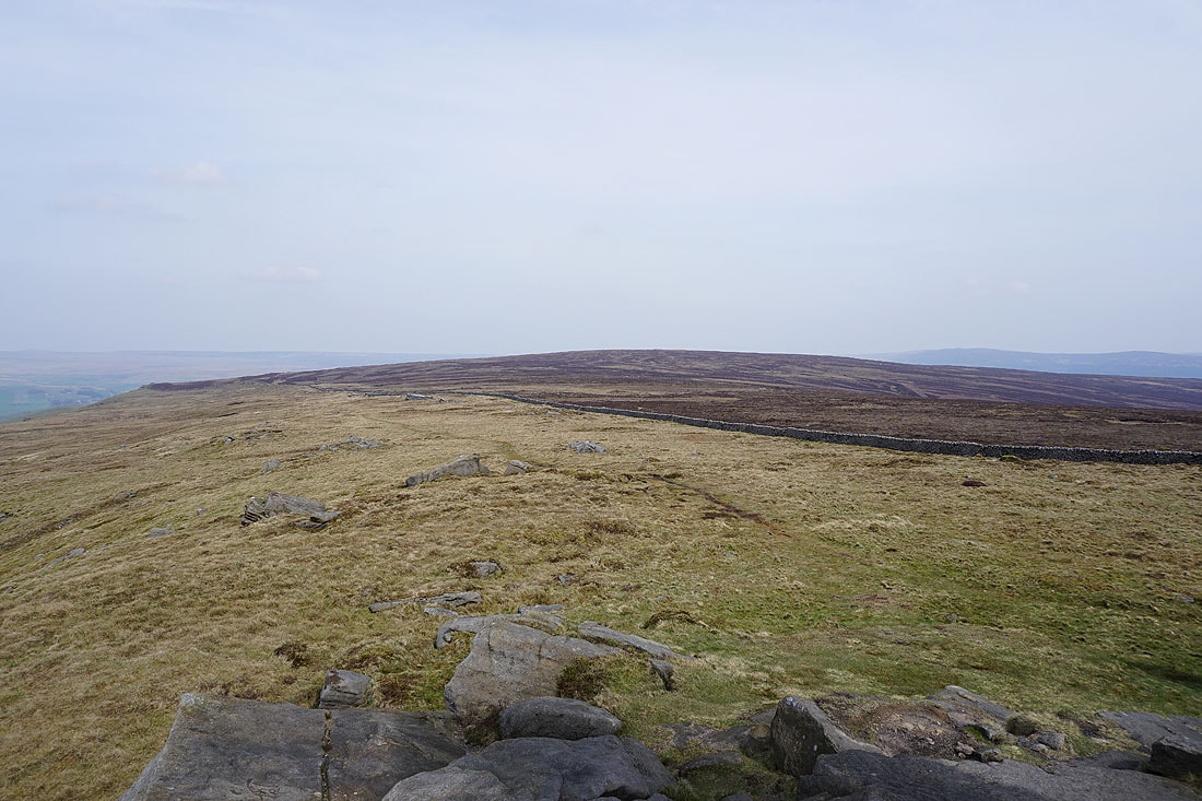
Leaving Embsay Crag I follow a path north across Embsay Moor
Looking back to Embsay Crag with Skipton Moor in the distance
and across to Halton Height, Draughton Moor and Skipton Moor
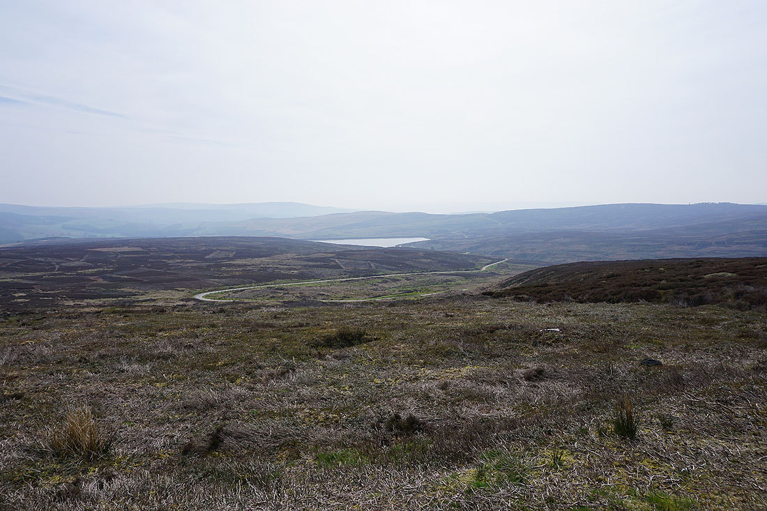
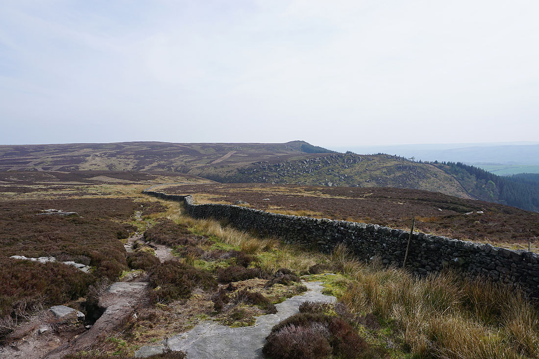
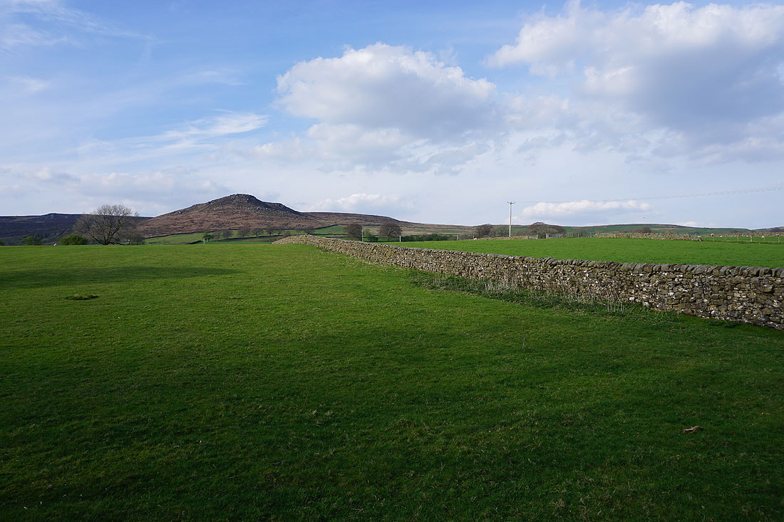
Approaching North Earls and Cracoe Fell and Burnsall Fell, the high points of Barden Moor, come into view
The bridleway that crosses Embsay Moor to Rylstone
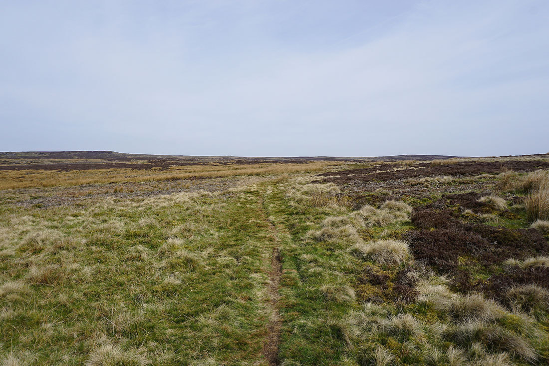
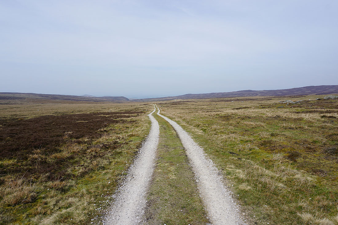
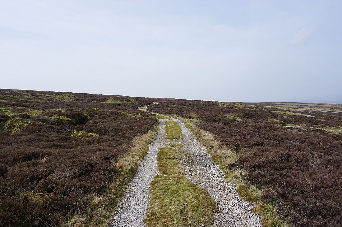
I don't take it though and opt for the track down to Upper Barden Reservoir
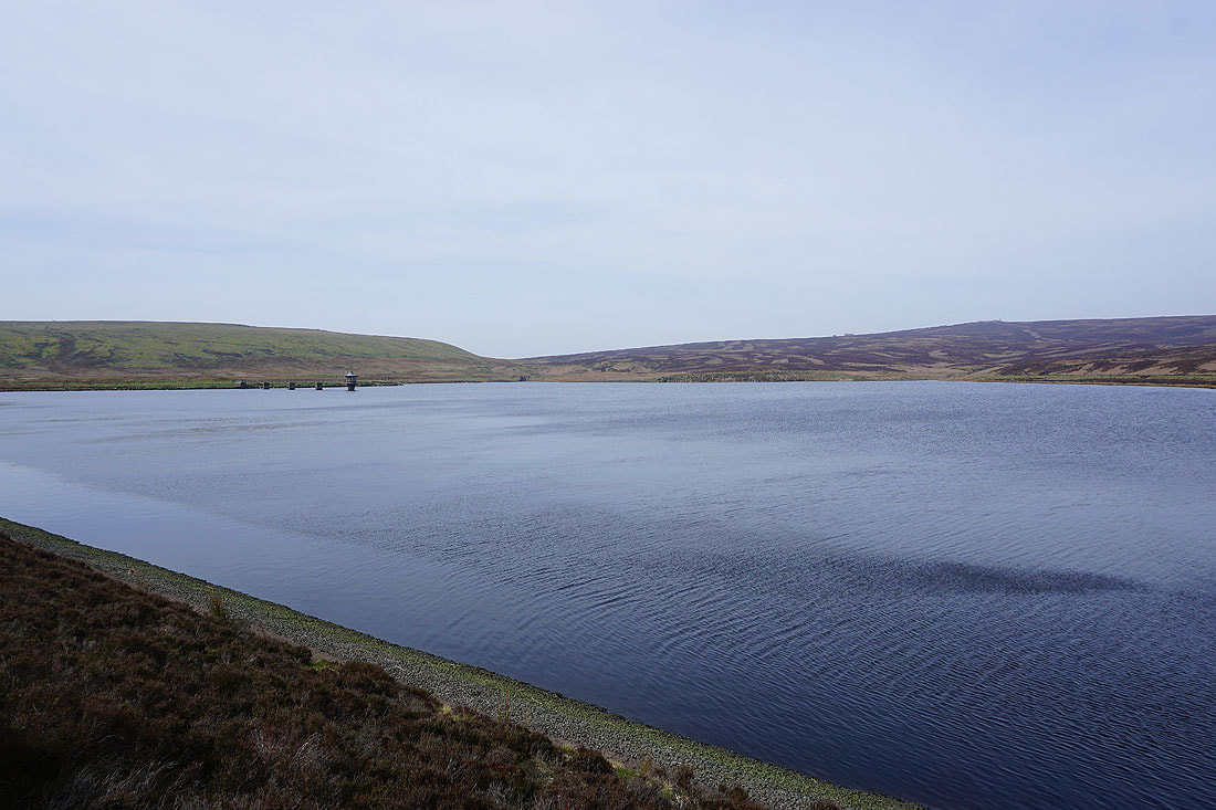
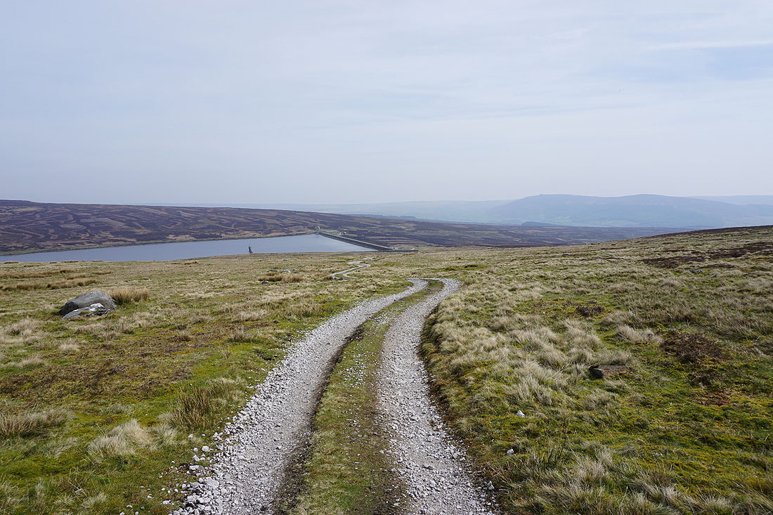
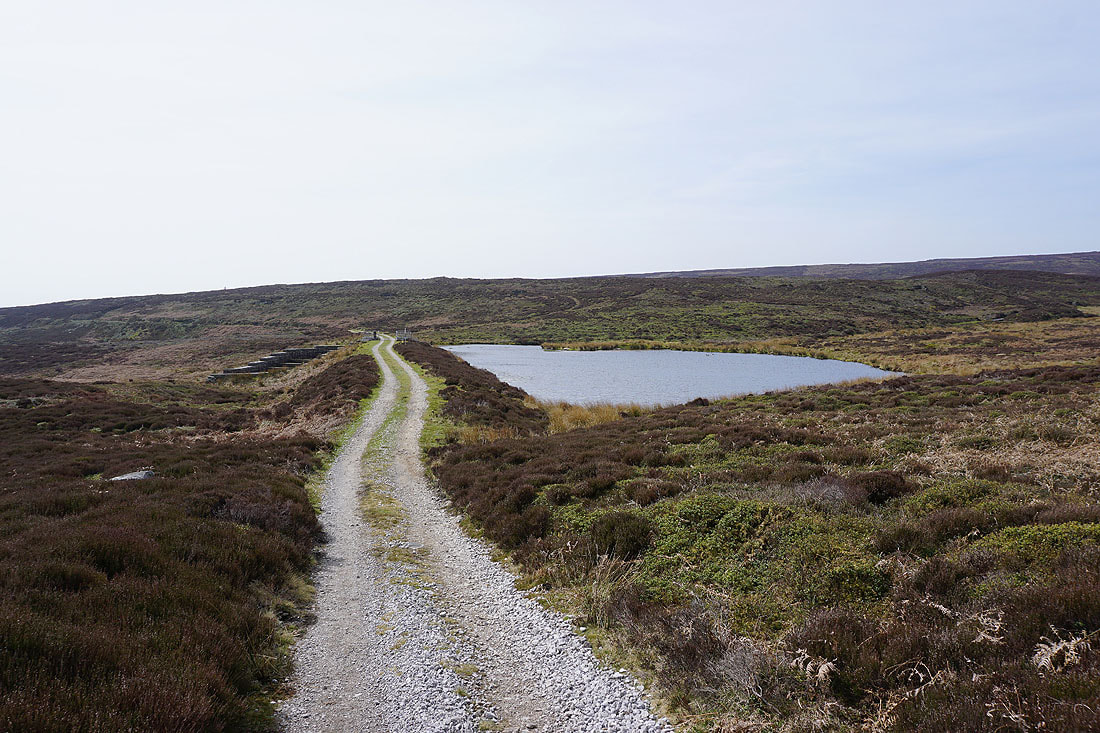
By Upper Barden Reservoir
Lower Barden Reservoir as I follow the track north to Burnsall Fell
The track I'm on takes me past a small reservoir..
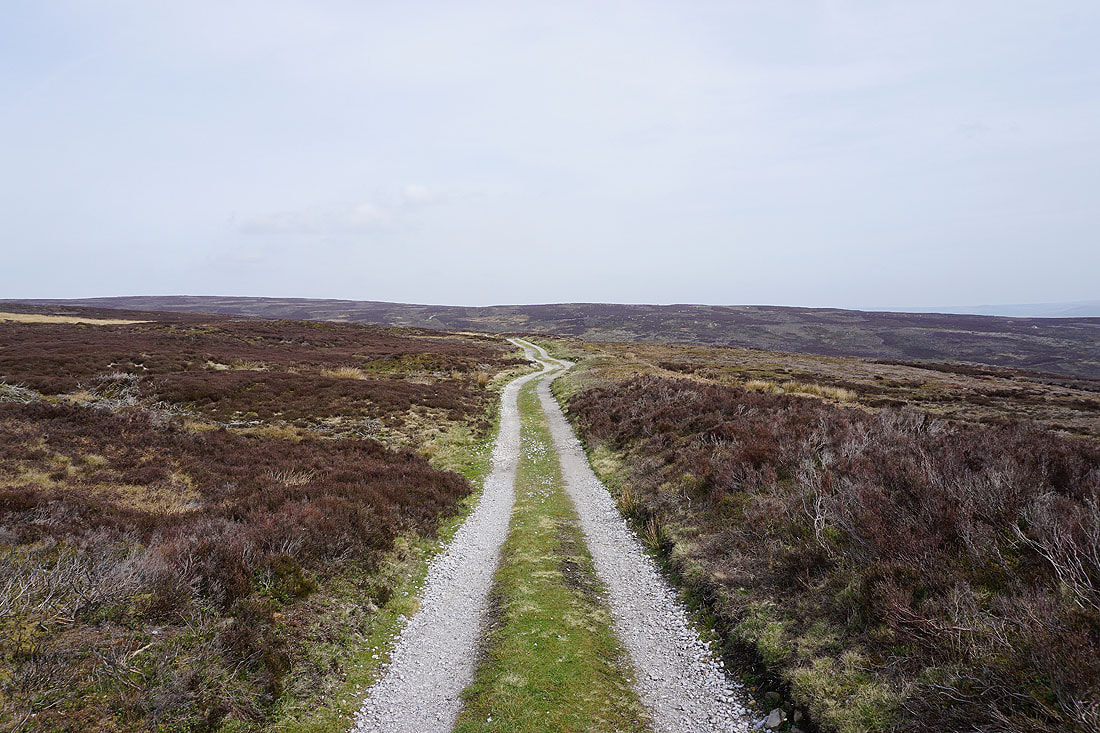
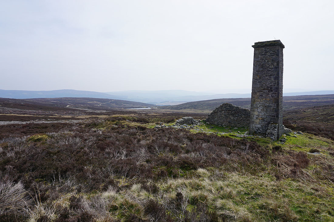
and then I take a track up Burnsall Fell past a chimney, a prominent landmark on this part of the moor..
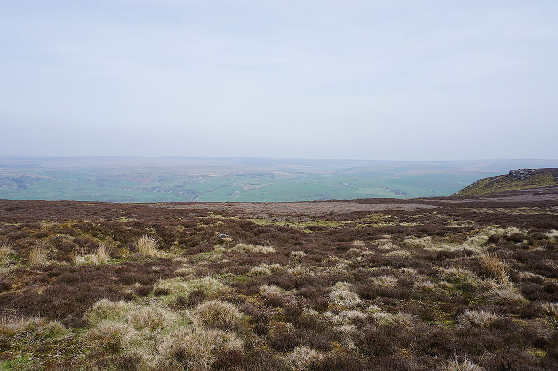
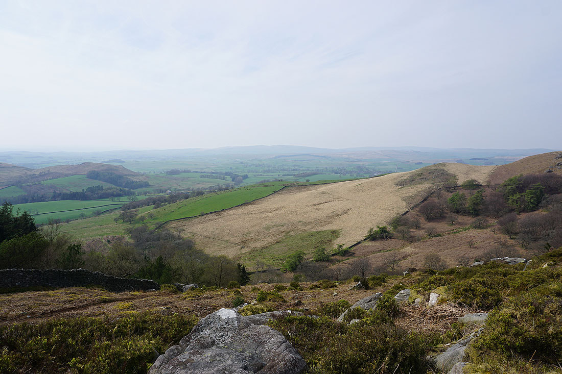
A hazy view across Wharfedale to Hebden, Hebden Moor and Appletreewick Moor
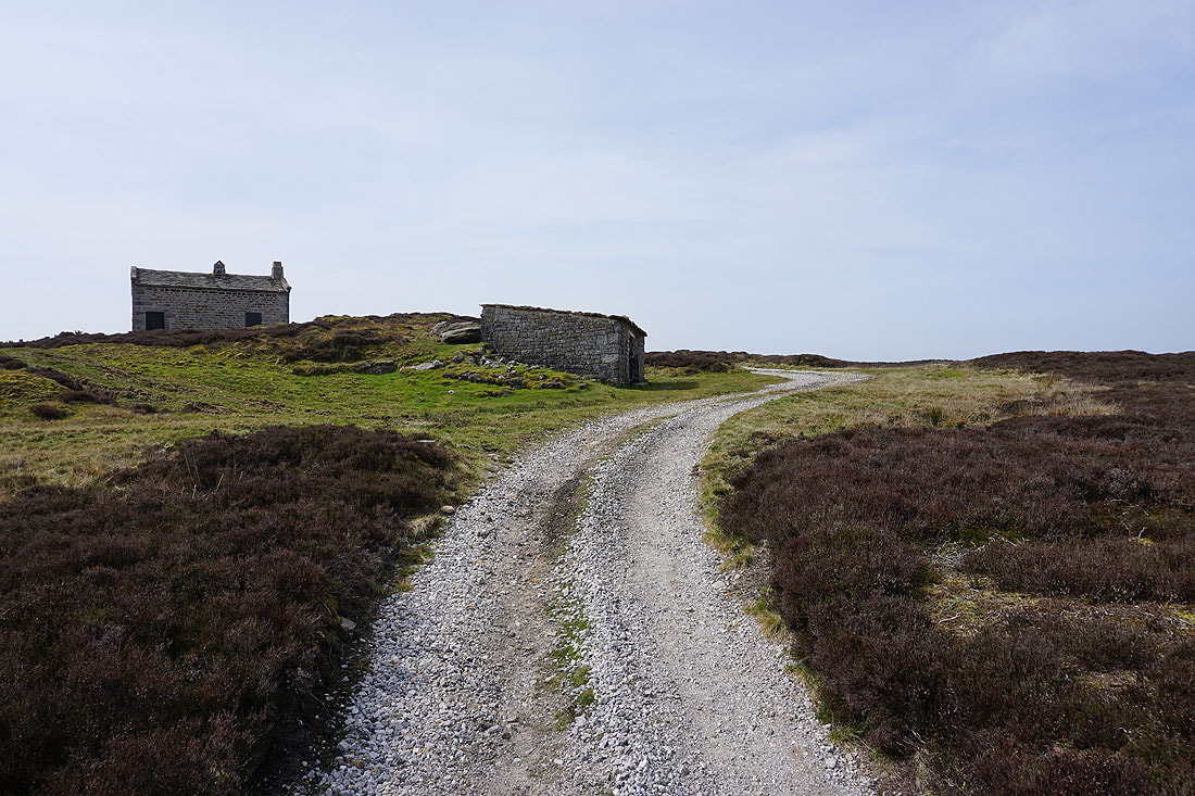
Approaching the shooting hut and shelter on Burnsall Fell. A good point to stop for lunch and find some shelter from the wind.
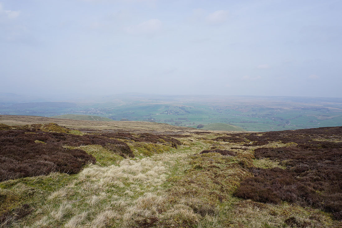
From here I have a hazy view across Wharfedale to Simon's Seat and to Beamsley Beacon in the distance
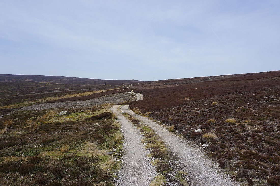
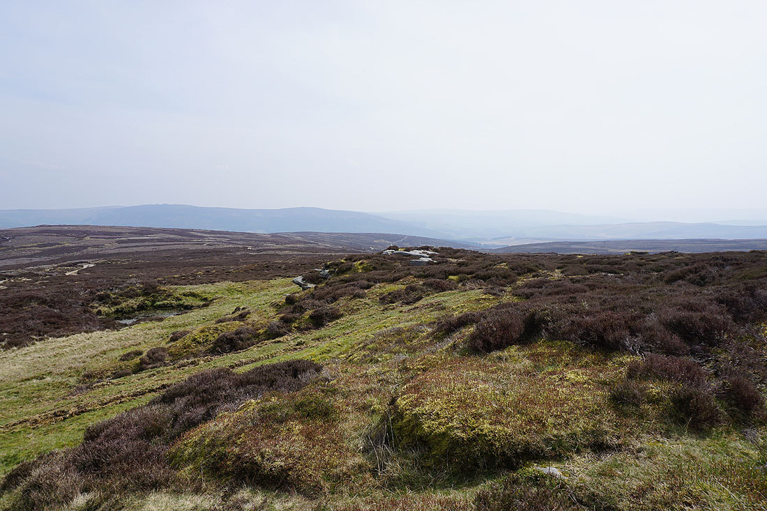
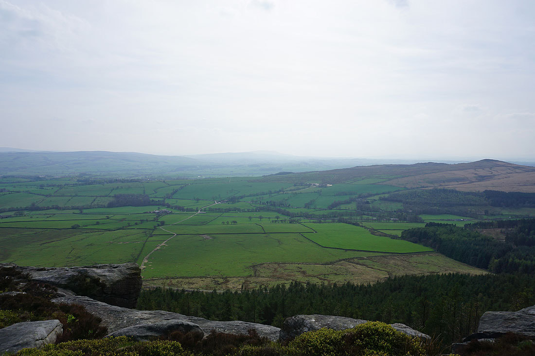
After my break I continue following the track west across Burnsall Fell, and to my right I have a view across Wharfedale to Grassington, Great Whernside, Grassington Moor, Hebden, and Hebden Moor..
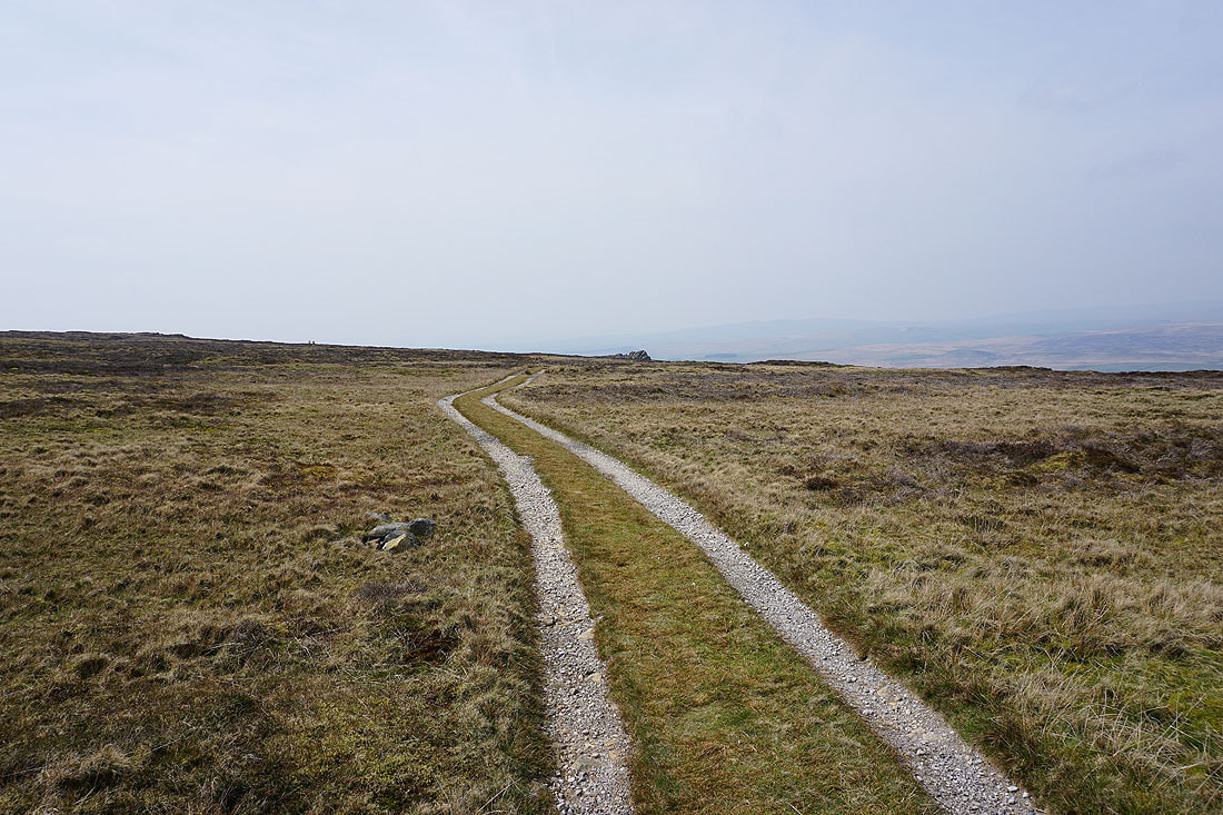
Further on and the track turns to the southwest and the memorial on the top of Cracoe Fell comes into view..
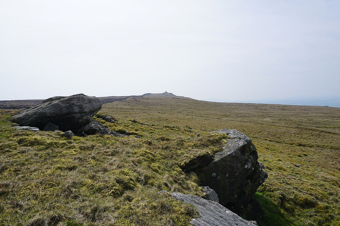
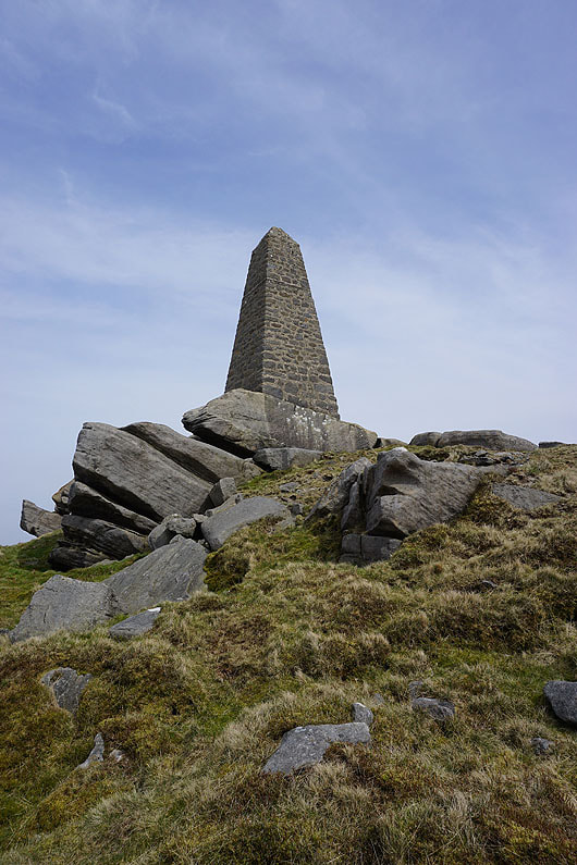
At the memorial on Cracoe Fell
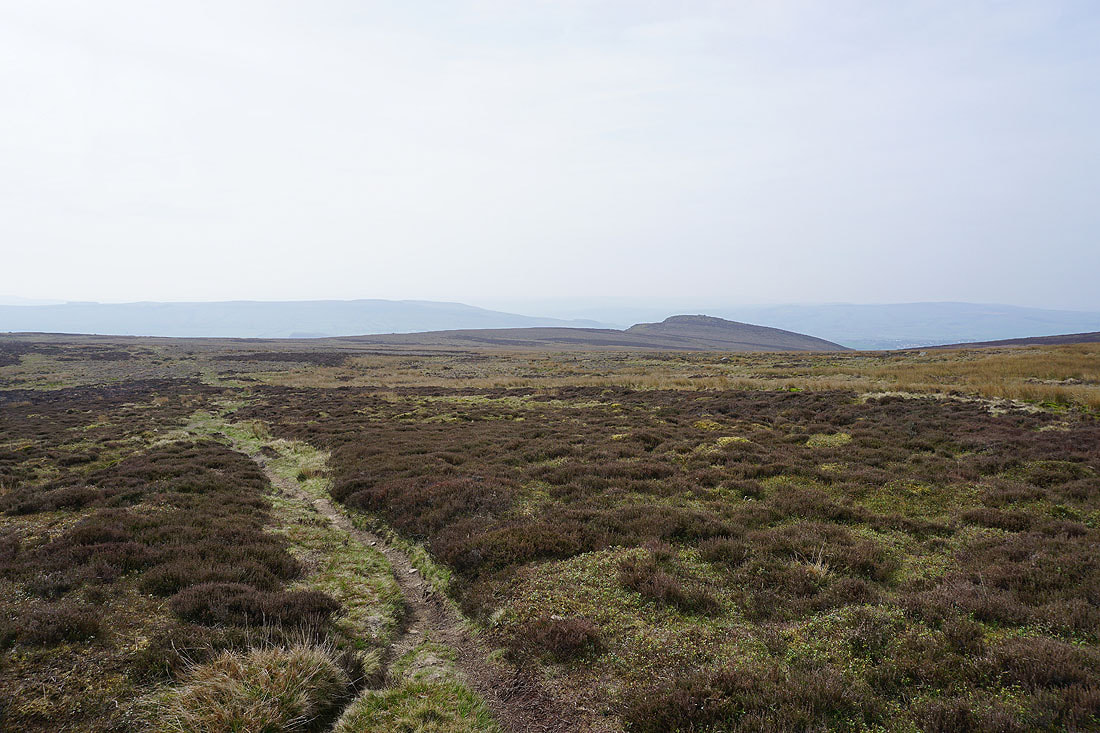
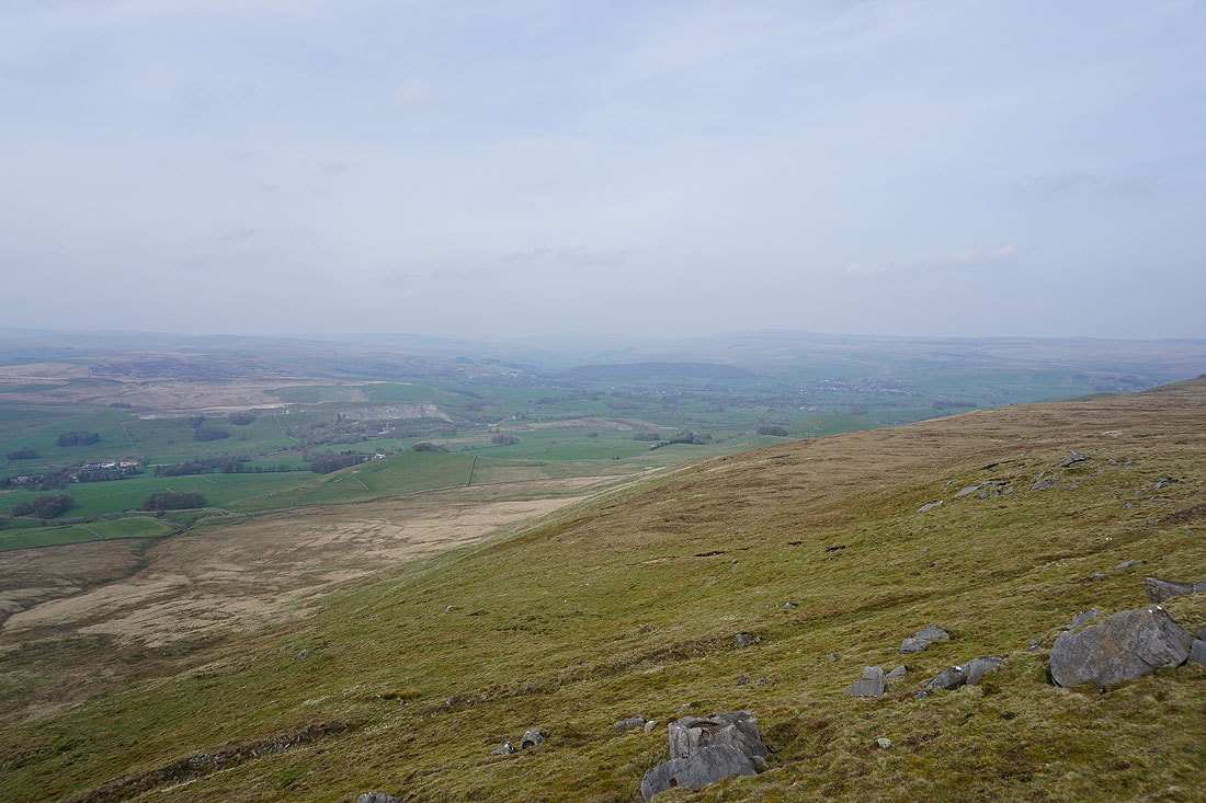
Looking southwest down Rylstone Fell to Sharp Haw
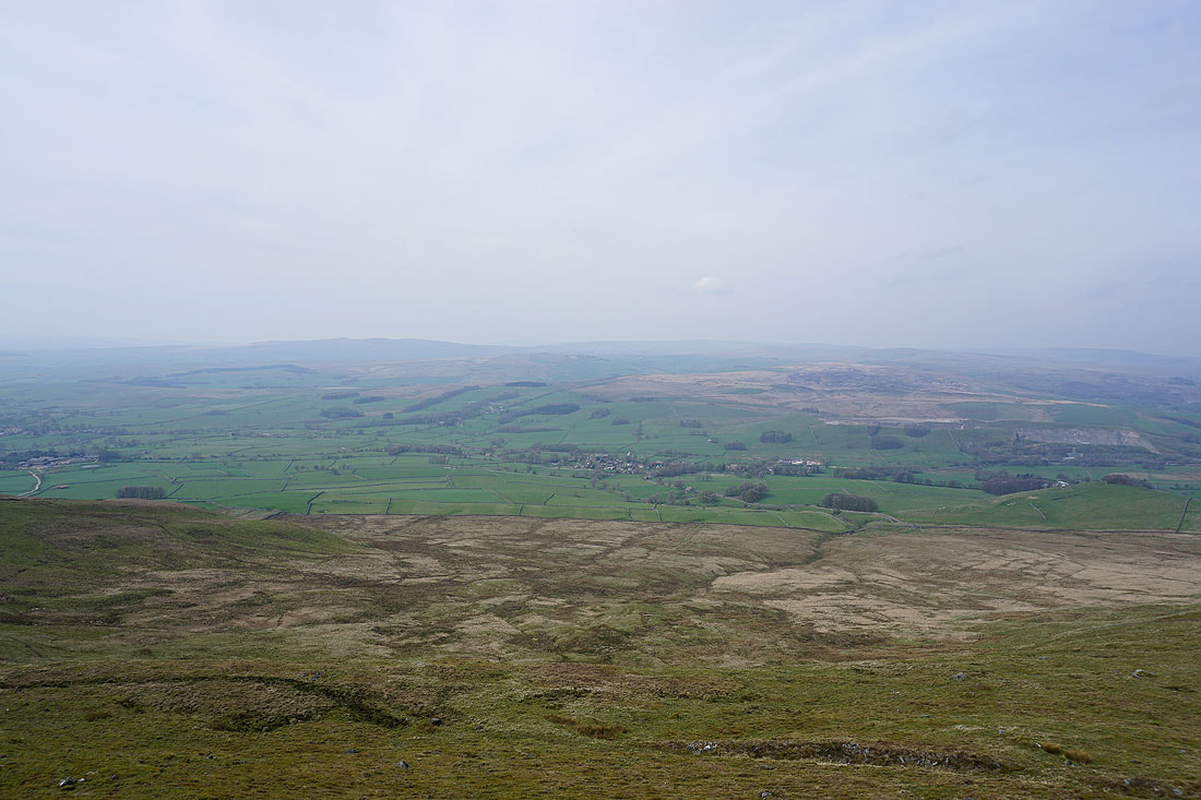
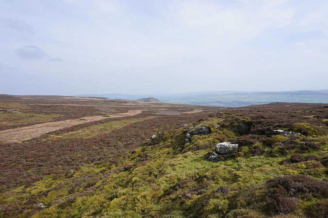
and northwest to Hetton Common, Boss Moor and Threshfield Moor, with the village of Cracoe in the valley below
Threshfield Moor, Wharfedale, Buckden Pike, Great Whernside, Grassington and Grassington Moor to the north
Burnsall Fell, the high point of Barden Moor
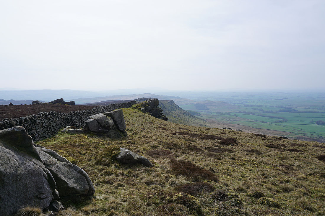
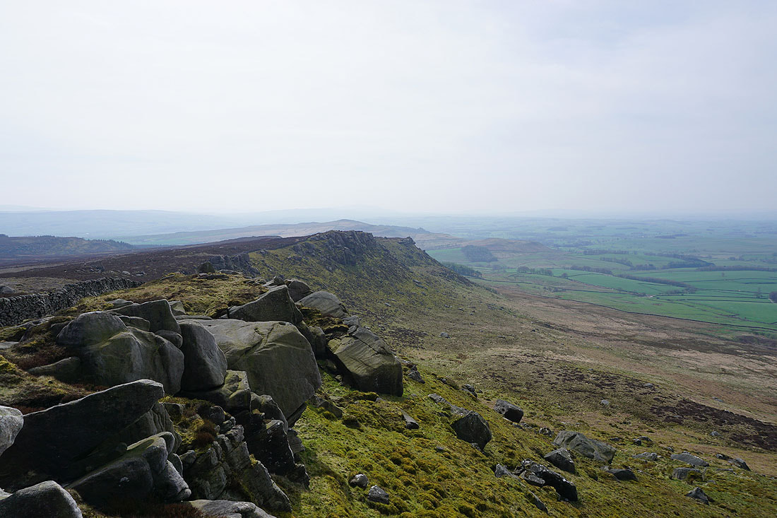
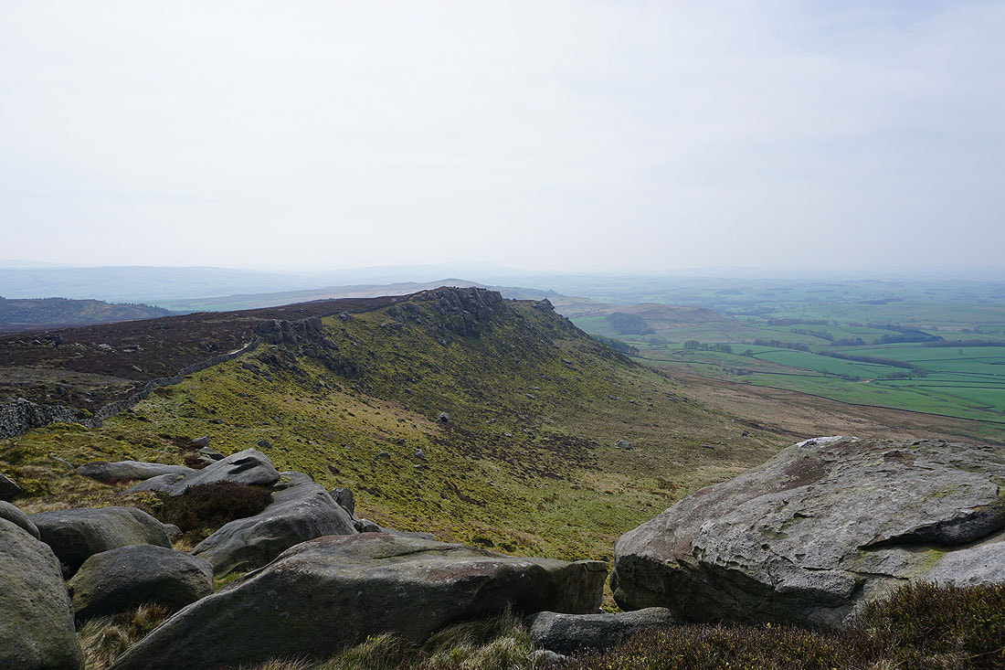
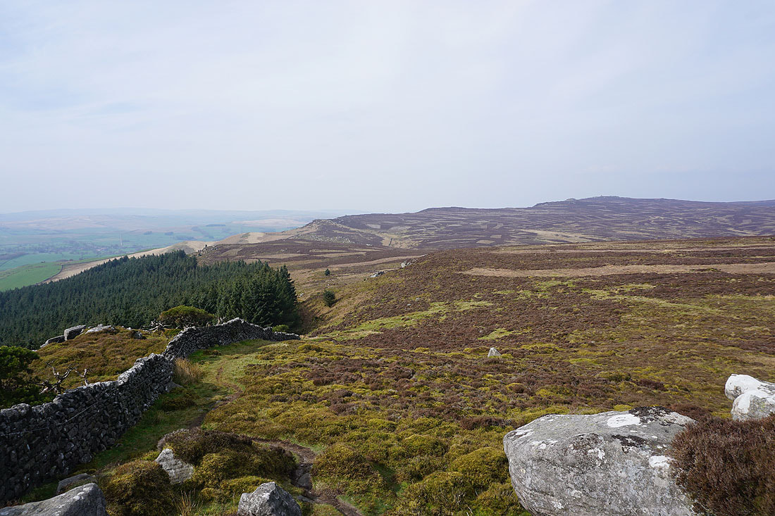
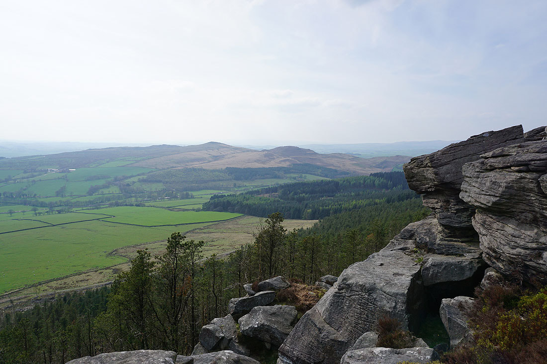
My favourite part of the walk is next as I make my way along the crags to Rylstone Cross...
Hetton, Rylstone, Winterburn Moor, Hetton Common, and Boss Moor to my right
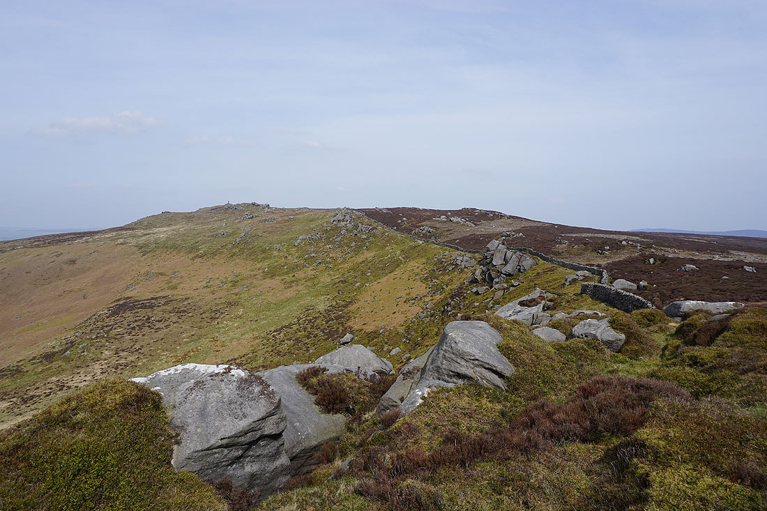
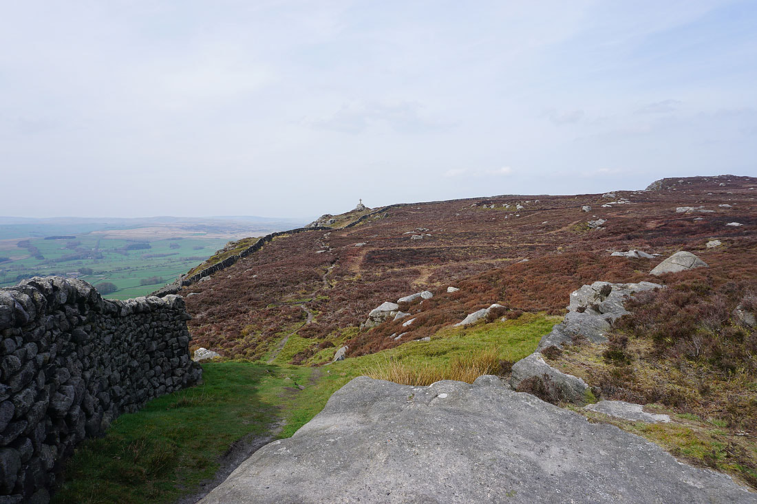
Looking back along the crags to the memorial on Cracoe Fell
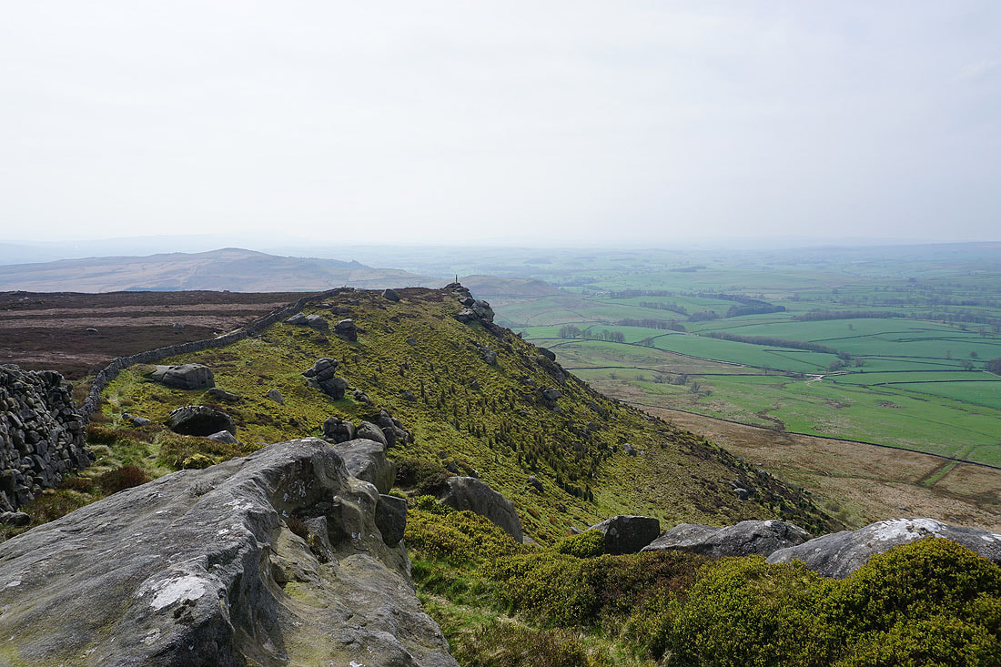
Not far to go to reach Rylstone Cross perched atop its crag
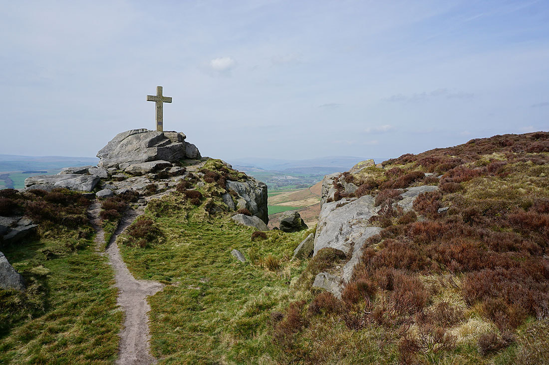
At Rylstone Cross..
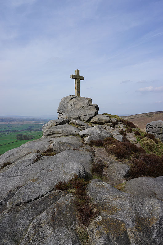
Sharp Haw and the rest of Flasby Fell from Rylstone Cross
Looking back to Rylstone Cross from the path down High Bark
Ahead of me is Crookrise Crag Top on the other side of Waterfall Gill
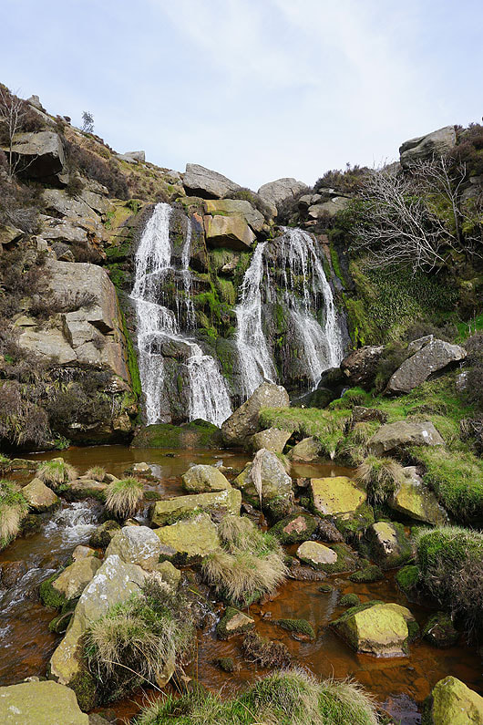
The waterfall in Waterfall Gill, and there's not that much going over it at the moment
Rye Loaf Hill and Kirkby Fell in the distance beyond Winterburn Moor, with Sun Moor on the other side of Waterfall Gill
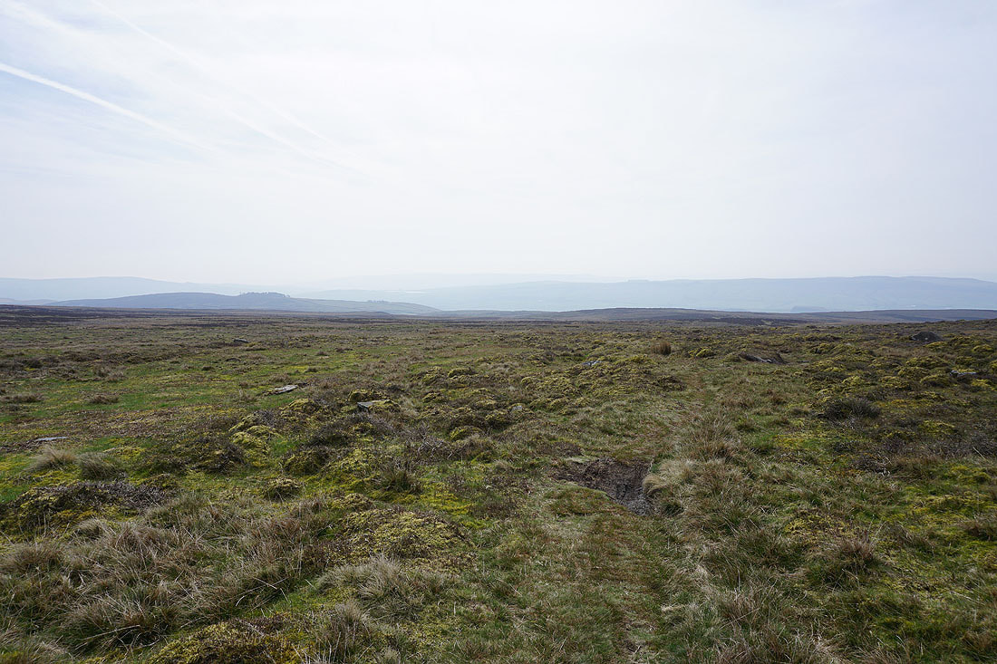
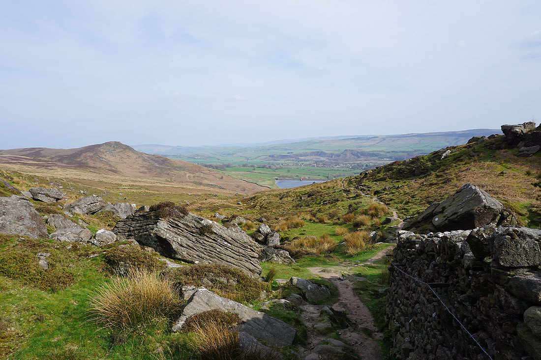
Looking back to Rylstone Moor from the path up to Crookrise Crag Top
As I near it the top of Embsay Crag appears looking across Embsay Moor
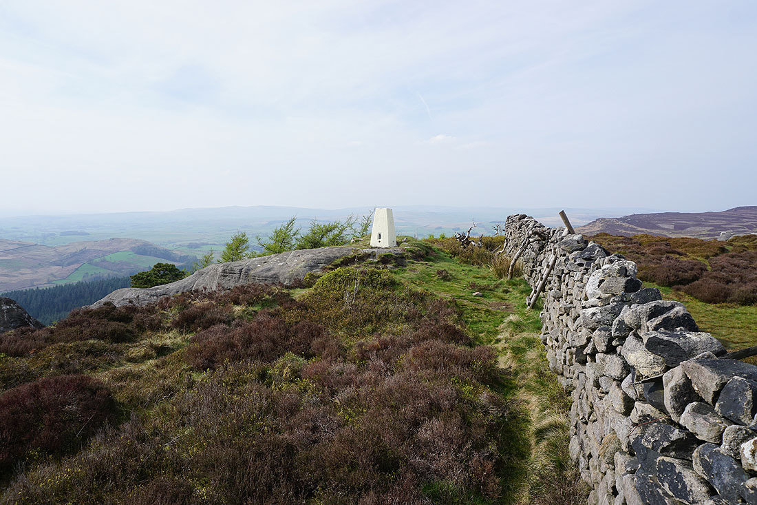
At the trig point on Crookrise Crag Top
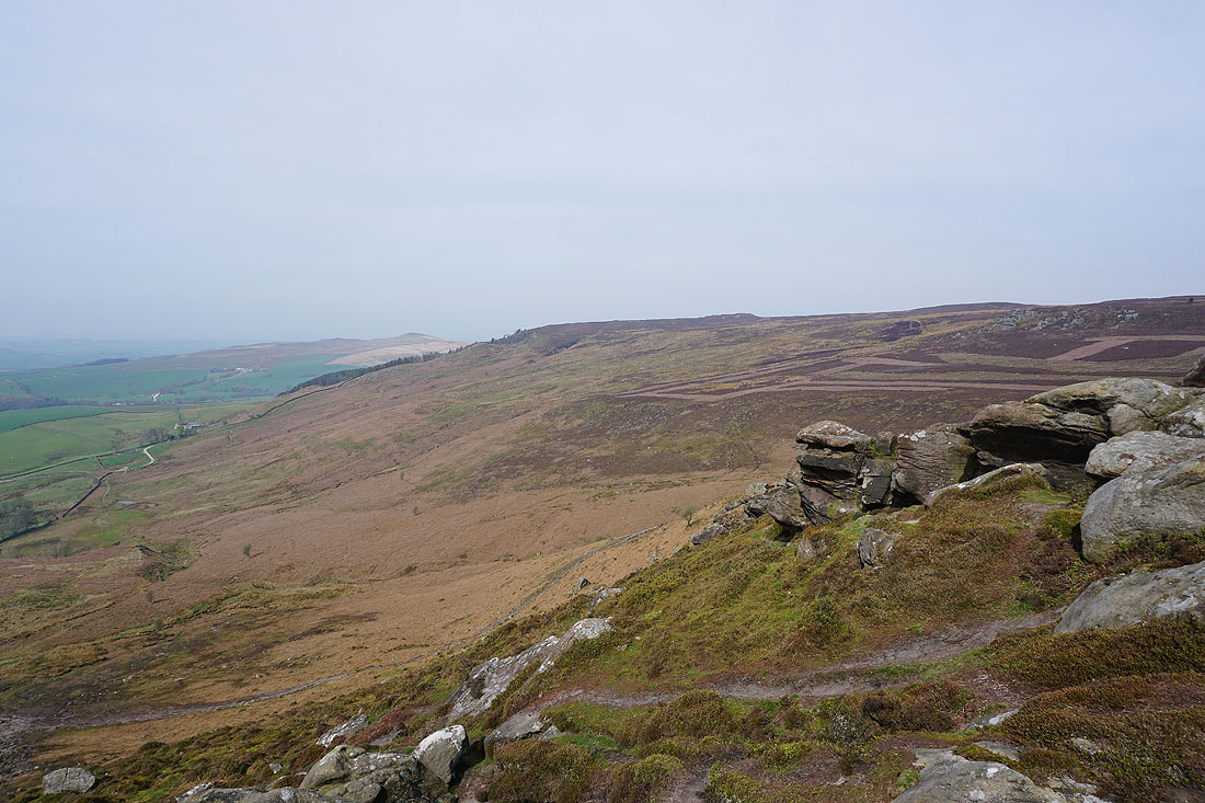
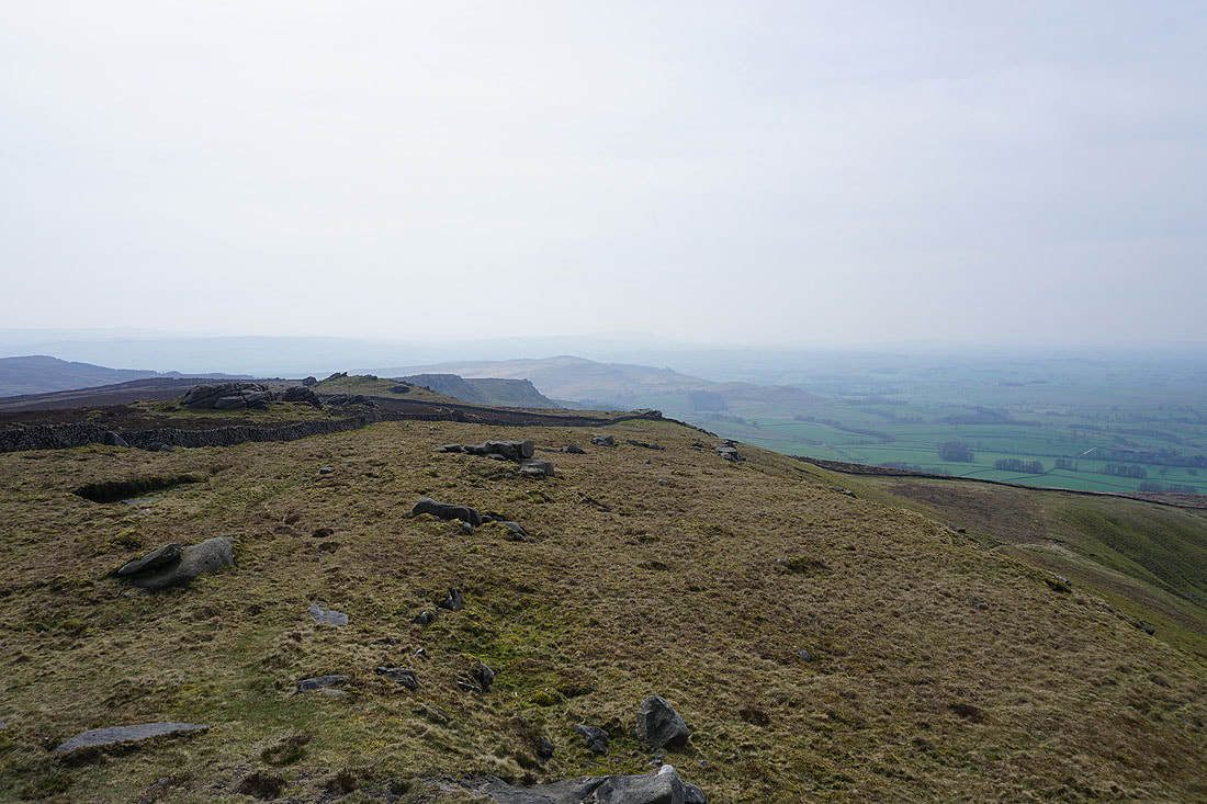
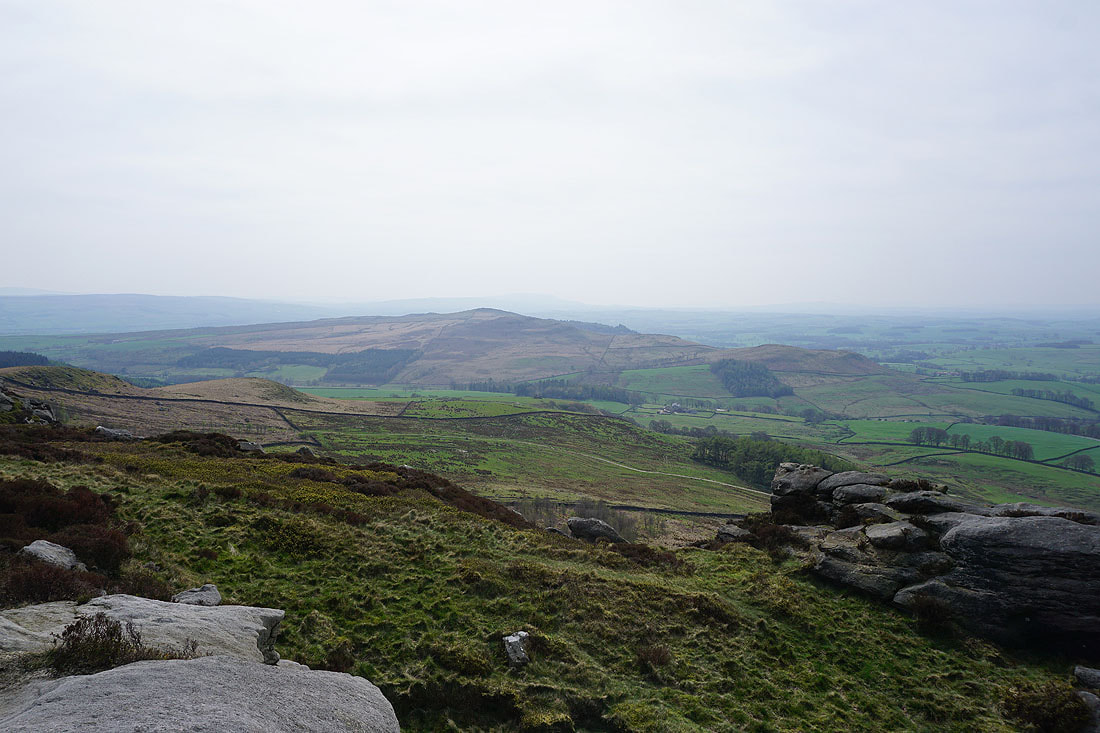
There's a good view from here. To the south is Skipton Moor, Skipton, Airedale, and Pinhaw Beacon.
To the southwest I can just make out Pendle Hill

Sharp Haw and Rough Haw, with Rye Loaf Hill and Kirkby Fell in the distance on the right
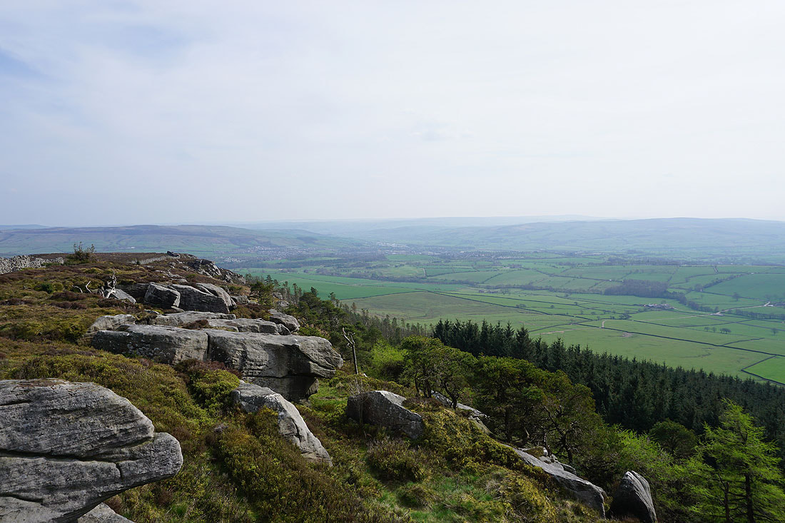
Sharp Haw and Rough Haw as I head south down Crookrise Crag
and then Embsay Reservoir appears below with Embsay Crag to its left..
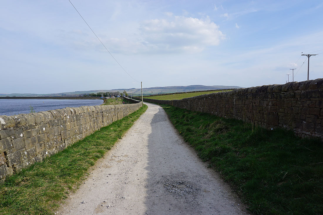
On the bridleway past Embsay Reservoir
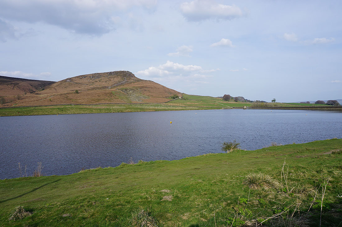
Embsay Crag above Embsay Reservoir
Walking down Pasture Road towards Embsay
Embsay Crag above as I leave Pasture Road and take a footpath across fields back to the car park in Embsay..