17th August 2008 - A Kentmere Horseshoe
Walk Details
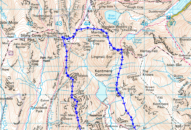
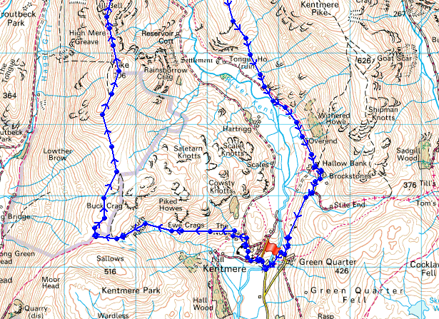
Distance walked: 11.2 miles
Total ascent: 3276 ft
OS map used: OL7 - The English Lakes, South-eastern area
Time taken: 6.5 hrs
Route description: Kentmere-Garburn Pass-Yoke-Ill Bell-Froswick-Thornthwaite Crag-Mardale Ill Bell-Nan Bield Pass-Hallow Bank-Kentmere
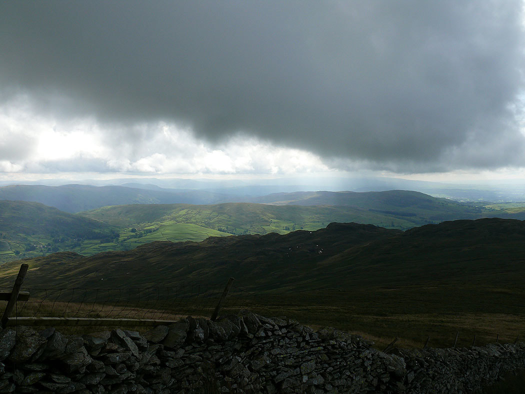
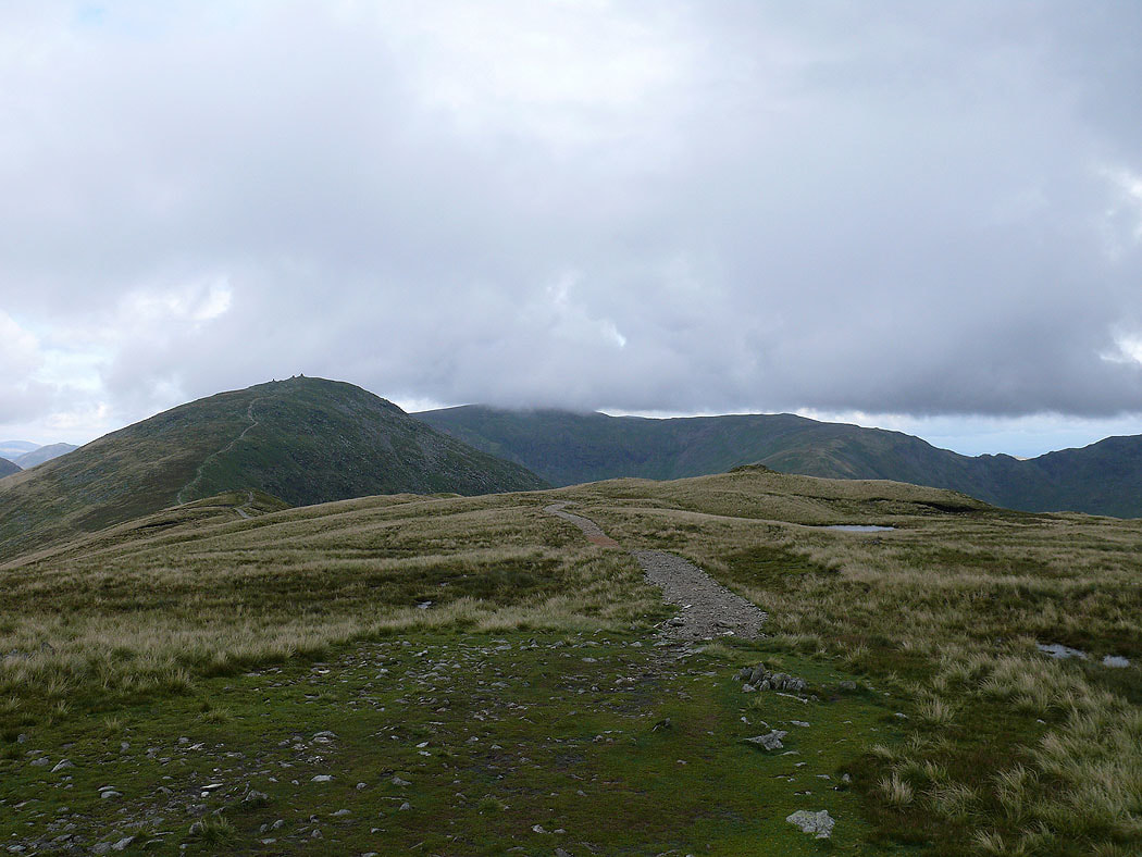
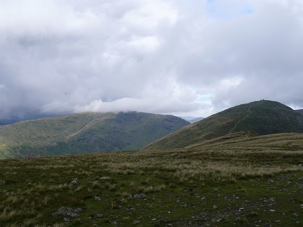
I set off on this round of the Kentmere Horseshoe in sunshine but the weather changed as I made my way along the Ill Bell ridge and a good part of the walk was spent in cloud with showers.
Route map
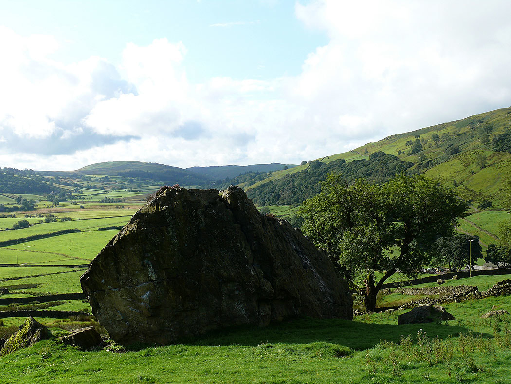
A fine start to the day in Kentmere as I head for the Garburn Pass
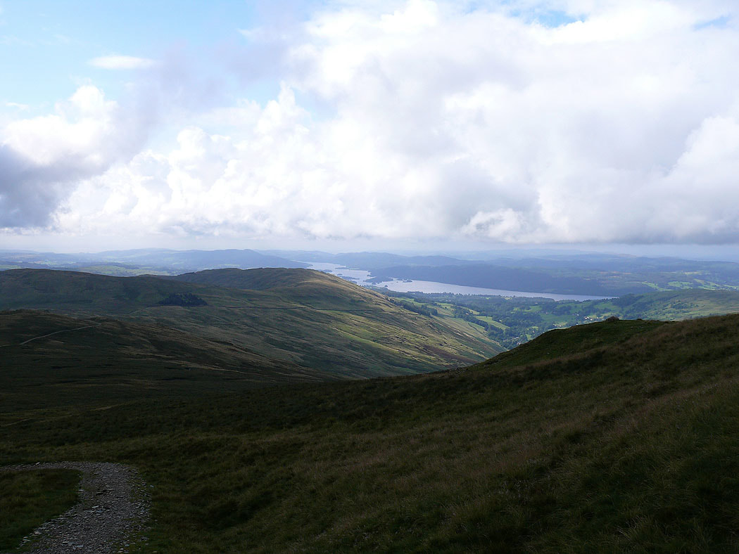
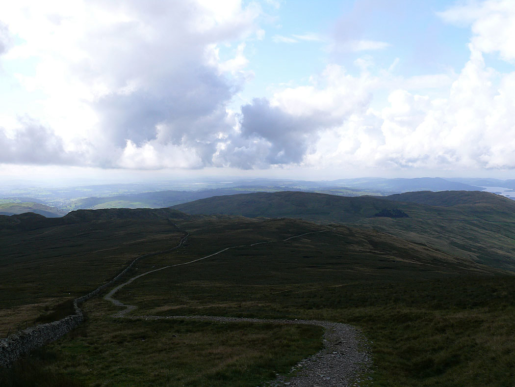
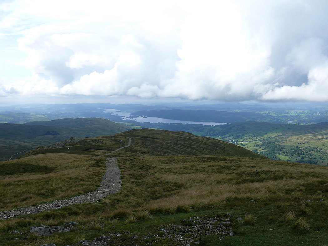
Windermere as I start the climb up Yoke
Sunshine on Green Quarter Fell above Kentmere
Looking across to Sour Howes and Sallows
Windermere as I head up Yoke
Still a bit of sunshine down on Kentmere
Looking ahead to Ill Bell and High Street from Yoke
Caudale Moor and Ill Bell. The last shot before the cloud and rain came down.
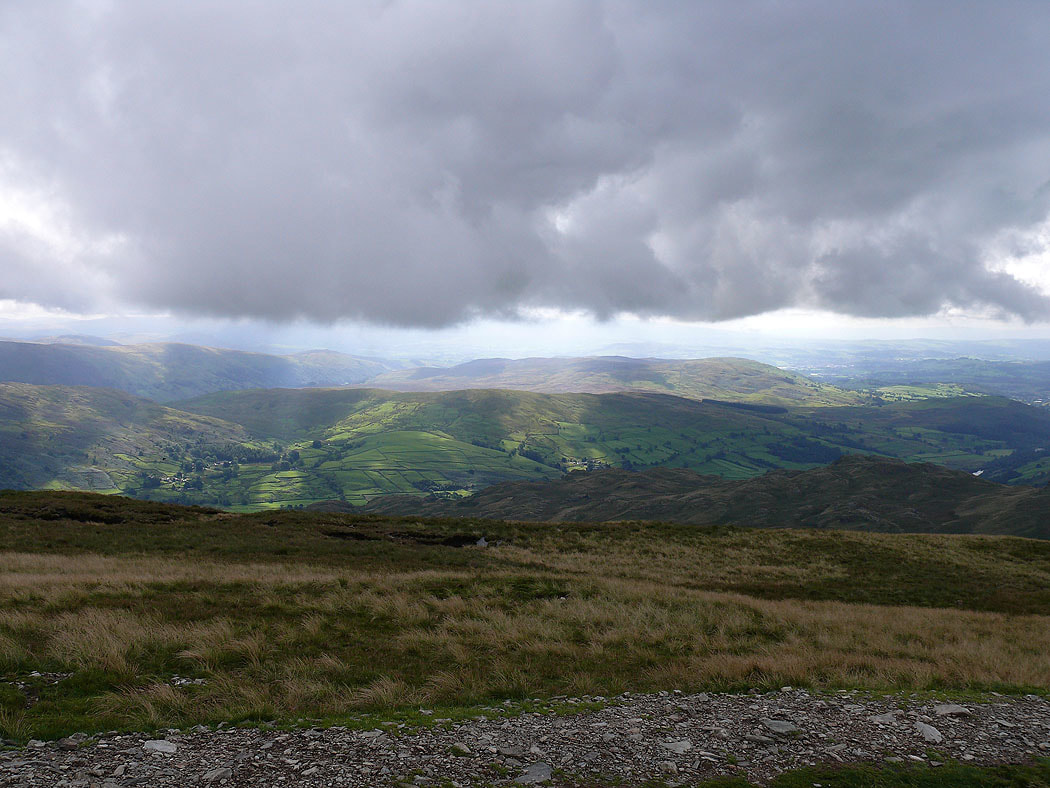
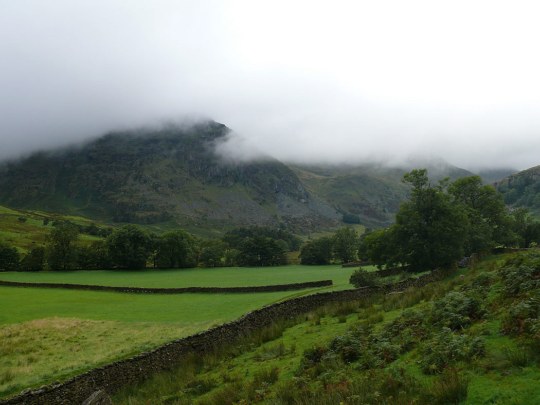
The Ill Bell ridge still shrouded in cloud as I head back to Kentmere
