17th August 2019 - Pinhaw Beacon
Walk Details
Distance walked: 12.4 miles
Total ascent: 2578 ft
OS map used: OL21 - South Pennines
Time taken: 6.5 hrs
Route description: Ickornshaw-Gill Lane-Pennine Way-Lothersdale-Pennine Way-Pinhaw Beacon-Pennine Way-Tow Top Farm-Tow Top Lane-Babyhouse Lane-Street Head Farm-Burnt Hill-Ramshaw-Carleton Biggin-Pale Lane-Throstle Nest-Low Woodside-Woodside Lane-Cononley-Gibside Lane-Great Gib-Little Gib-Lothersdale Road-Leys Lane-Leys House-Norwood-Long Lane-Dairy House Farm-Ridge Mill Bridge-Cinder Hill Lane-Ickornshaw
I'm staying local for my walk this weekend. There's a mostly fine day forecast but it's going to be windy, with gales on the high fells, so I might as well make the most of the South Pennine moors looking their best at this time of year with the heather being in bloom. That strong wind is a blessing in disguise. All that flowering heather attracts lots of flies and with light winds they would be driving me to distraction. The route that I came up with filled in the gaps in the Pennine Way that I hadn't done in the section between Ickornshaw and Pinhaw Beacon, as well as taking in new ground in the form of the moors on the western side of Airedale. It turned out to be a really nice late summer's day for being on the moors with the definite highlights the displays of heather on Pinhaw Beacon, Burnt Hill and Ramshaw.
After parking near Holy Trinity Church in Ickornshaw I set off by walking north along Gill Lane to pick up the trail of the Pennine Way. I then followed the trail north up Cowling Hill, down into Lothersdale and up to the summit of Pinhaw Beacon. After finding somewhere reasonably sheltered from the wind for lunch I left Pinhaw Beacon by taking the Pennine Way back down to White Hill Lane, and after crossing the road I left the trail and took the bridleway to Tow Top Farm, and then the bridleway up Tow Top Lane to Babyhouse Lane. Here I turned right, briefly walked down the lane, then took the footpath on the left across fields towards Street Head Farm and Burnt Hill, where I went straight on past Street Head Farm and onto the footpath across Burnt Hill and down the ridge of Ramshaw to Carleton Biggin. From Carleton Biggin the footpath follows the access road down to Pale Lane. I took a short-cut, taking a path on the right to join Pale Lane further south. I had a short walk south along the lane to reach a footpath on the left down to Throstle Nest and Low Woodside, then from Low Woodside I walked up to Woodside Lane. I then walked south along Woodside Lane to the village of Cononley. I left Cononley by Gibside Lane, which is by the village institute on Main Street. Gibside Lane and from its end a footpath, was followed south up and along the side of the hill of Gib, to and past Great Gib and Little Gib, and to Lothersdale Road. I then walked west along Lothersdale Road, took Leys Lane on the left, then the byway on the right at the left hand bend in the road and followed it down past Leys House, across Leys Beck, up to and across the lane at Norwood and up to Long Lane. I then turned left, walked a short distance down Long Lane and took the footpath on the right down to and past Dairy House Farm, then down a track to Ridge Mill Bridge. I crossed the bridge, took the path to Wood House, then followed Cinder Hill Lane back to where I was parked in Ickornshaw.
Route map
© Crown copyright. All rights reserved. License number PU 100034184.
It's a bright and fresh morning in Ickornshaw
I start by walking north along Gill Lane to join the trail of the Pennine Way
To the east I can make out the towers on Earl Crag
Sunshine on Knoll Hill and Knoll Hill Farm
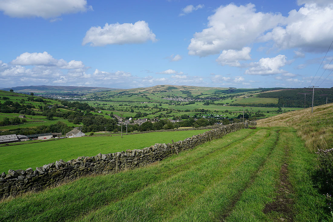
Looking back to Cowling and Ickornshaw..
..as I head north on the Pennine Way
The sun coming out really improves the feel of the morning
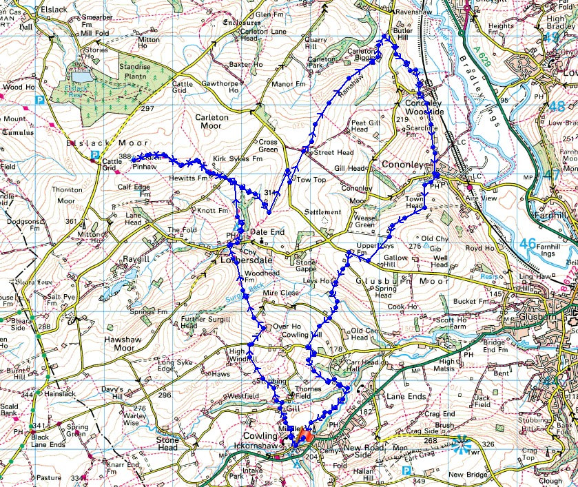
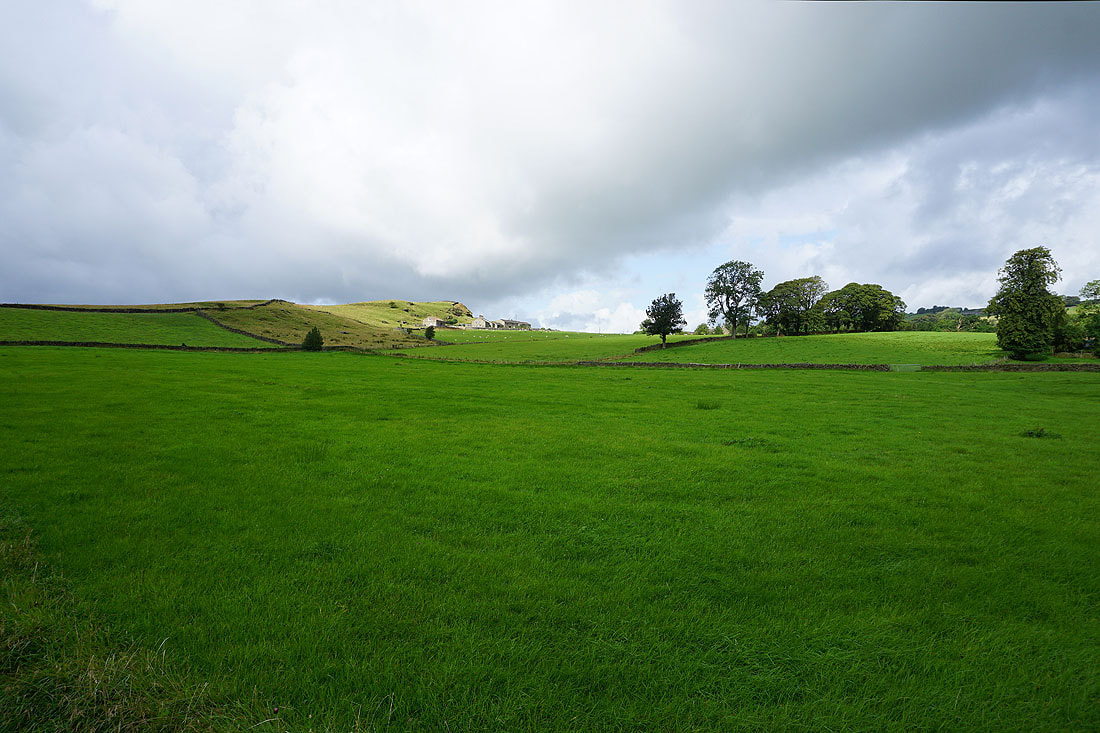
Looking towards Airedale and Earl Crag from Cowling Hill
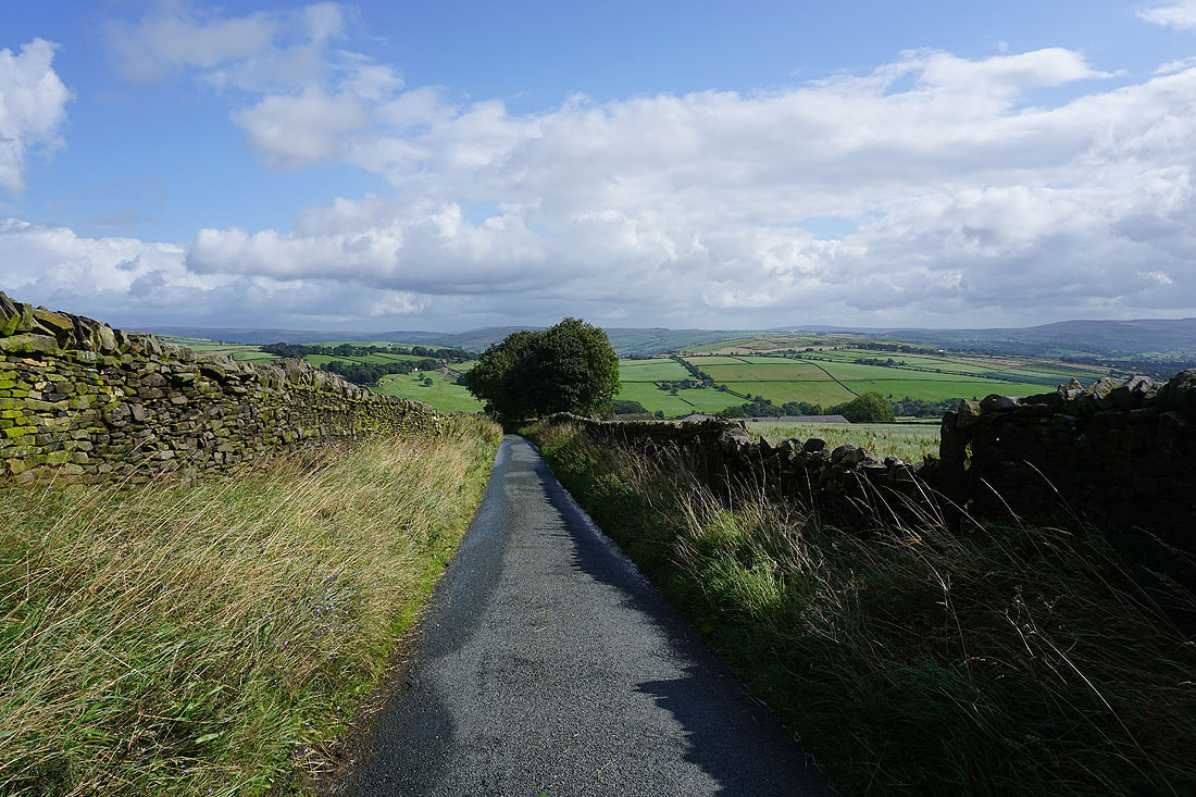
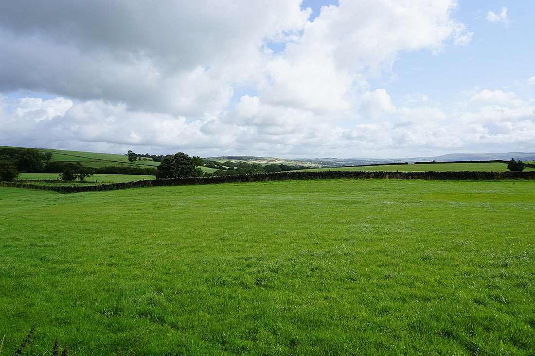
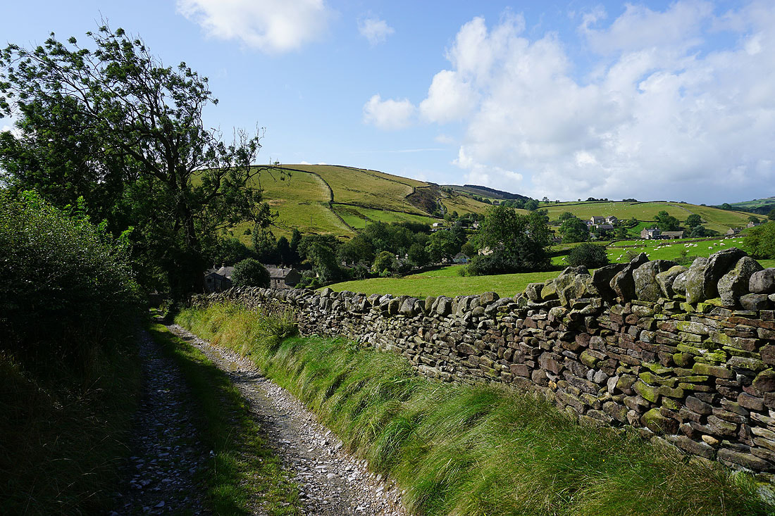
The Pennine Way crosses Cowling Hill Lane and takes a lane down towards Lothersdale..
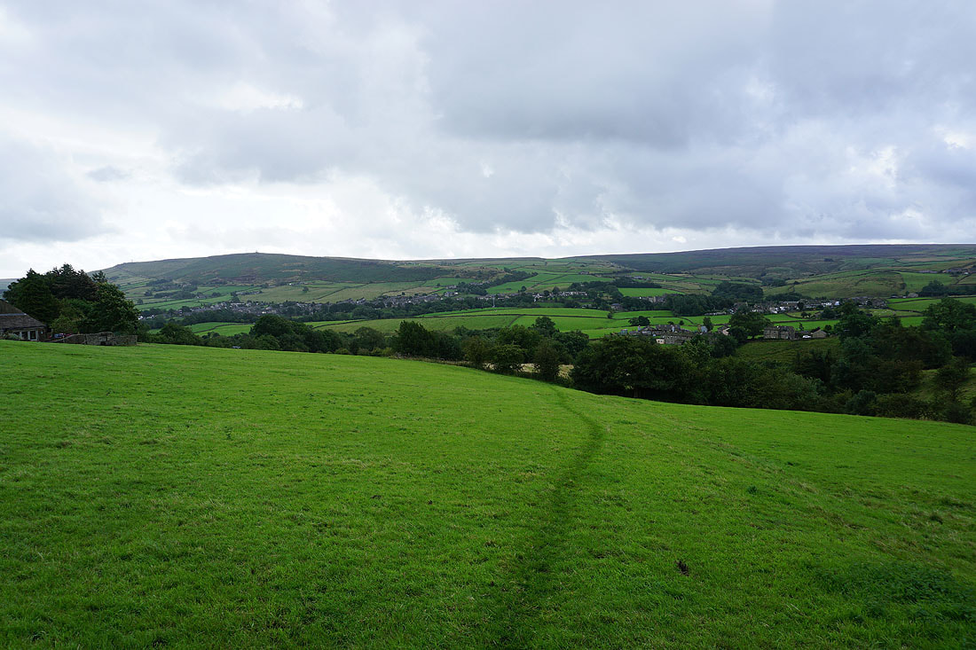
A view across Lothersdale to a distant Skipton Moor
The steep sided hillside of Sweet Brow as I reach Woodhead Farm
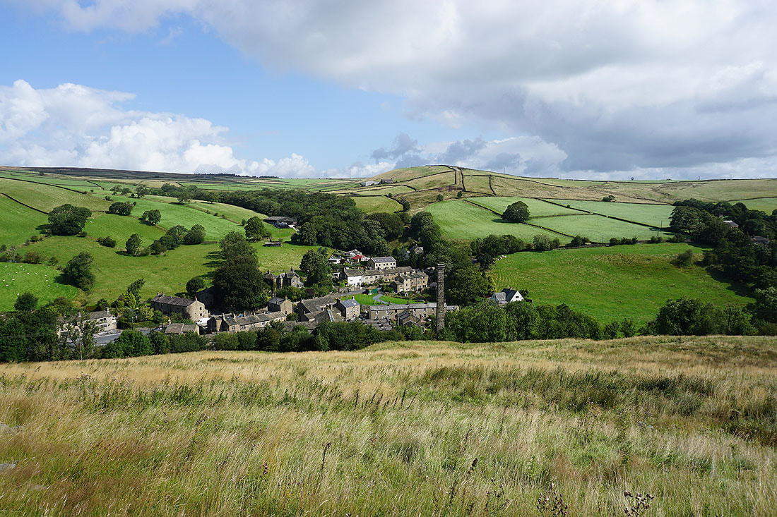
Following the Pennine Way down into Lothersdale with Tow Top Moor behind..
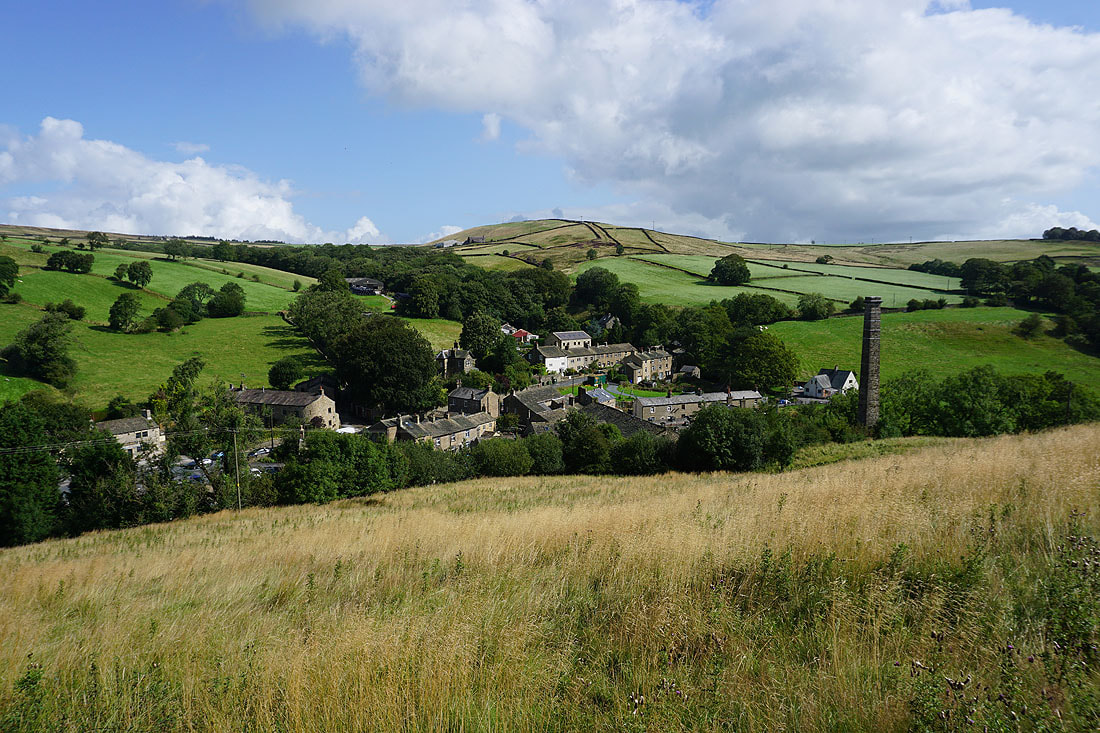
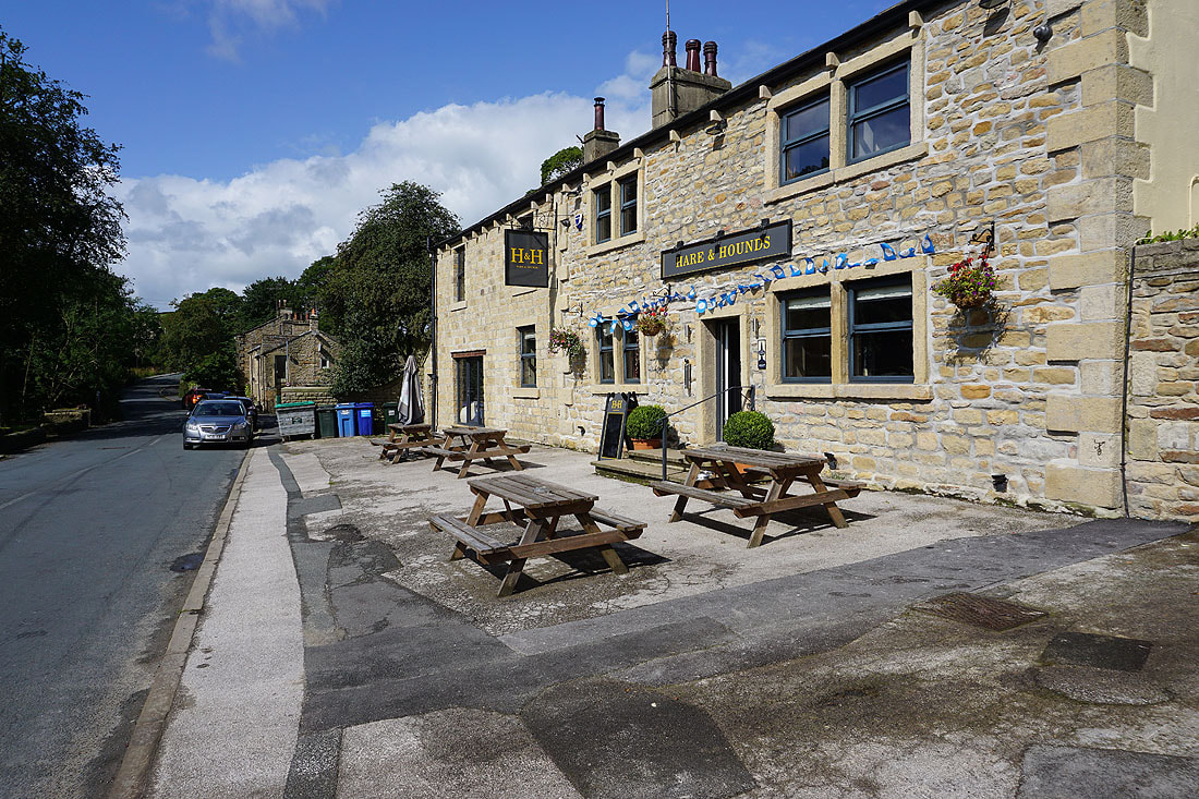
The Hare and Hounds pub in Lothersdale
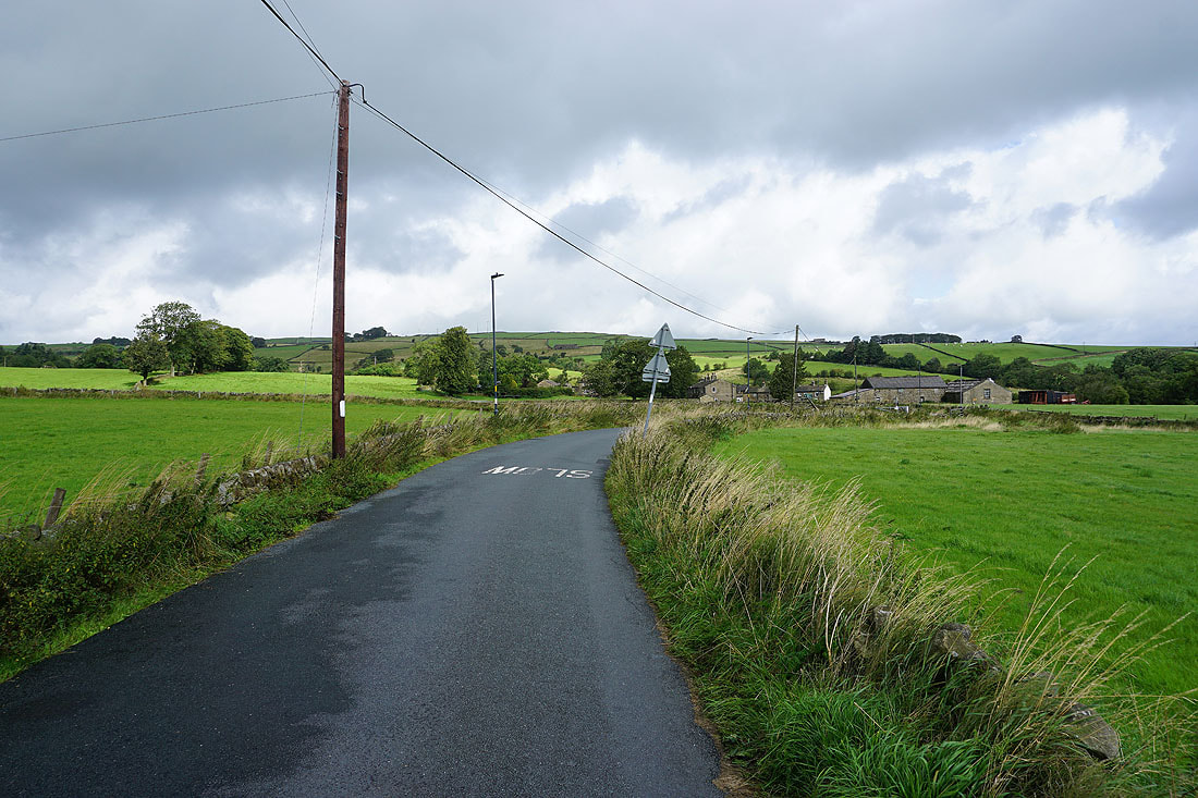
The hill of Town Edge as I leave Lothersdale
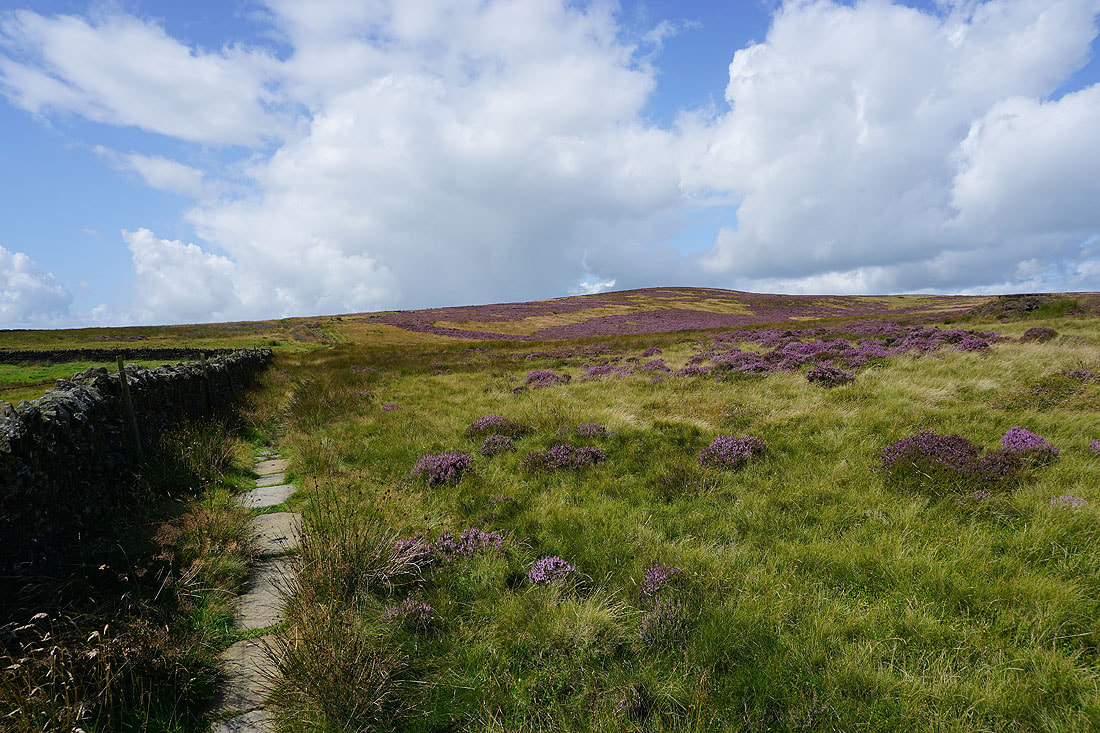
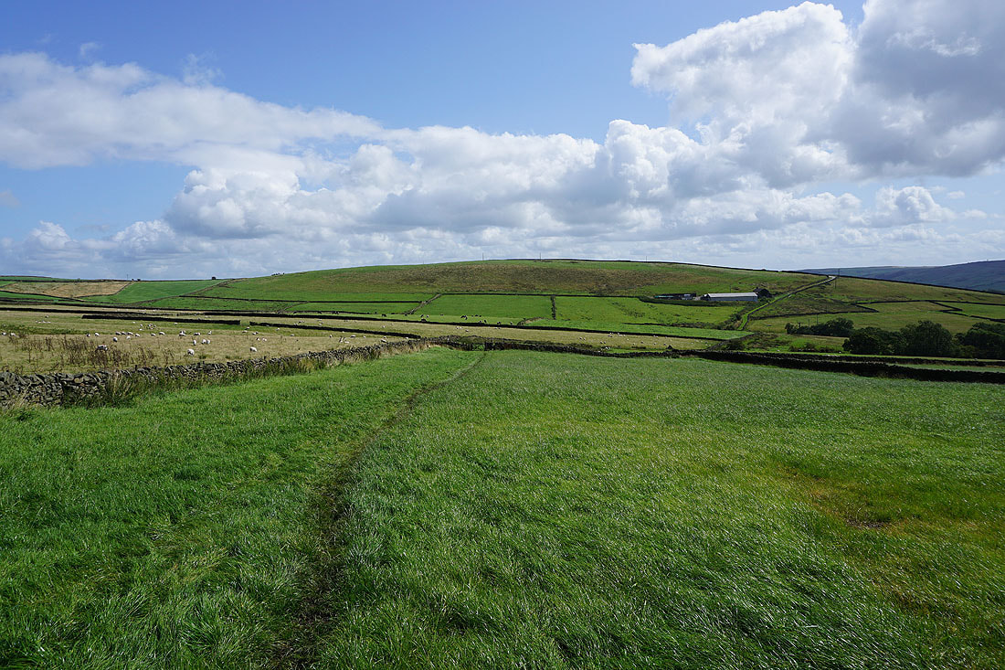
Following the Pennine Way north across fields up to White Hill Lane..
Looking west across the hills around Lothersdale
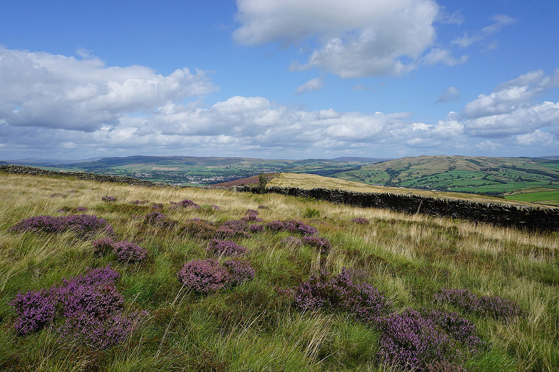
On Carleton Moor for the final approach to Pinhaw Beacon
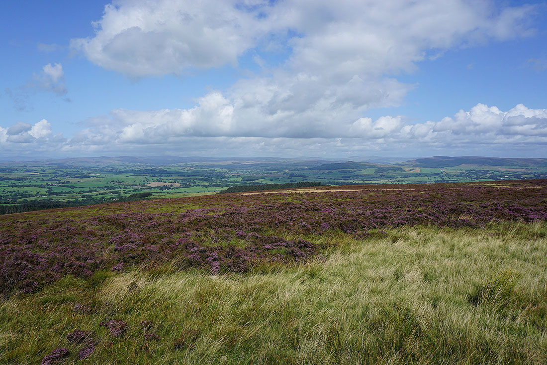
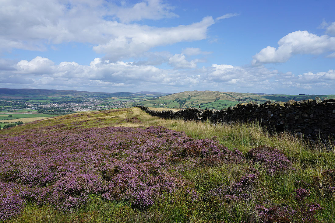
The moors around Airedale in the distance from Carleton Moor. The heather being in bloom is a real bonus, as is the strong wind to keep the flies away.
Looking back down into Lothersdale and to Earl Crag
As I reach the top of the moor the view opens out to the north to Ingleborough, Buckden Pike and Great Whernside in the Yorkshire Dales
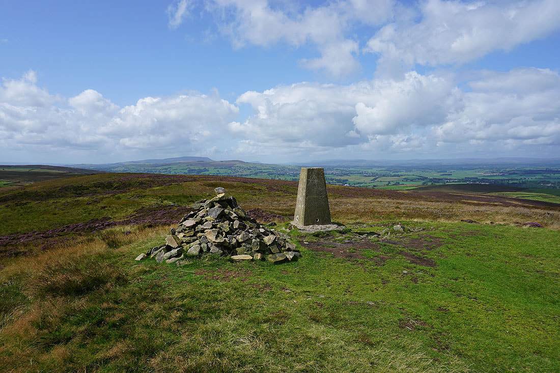
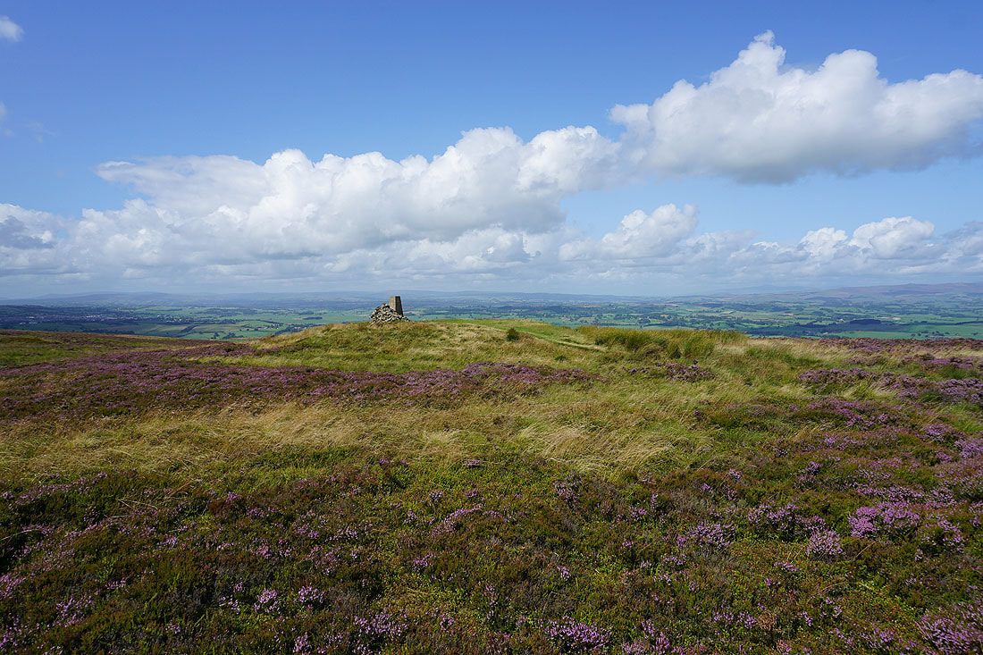
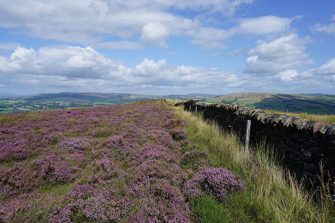
At the trig point on the summit of Pinhaw Beacon. Pendle Hill and Weets Hill to the west.
Boulsworth Hill in the distance to the left of the trig point
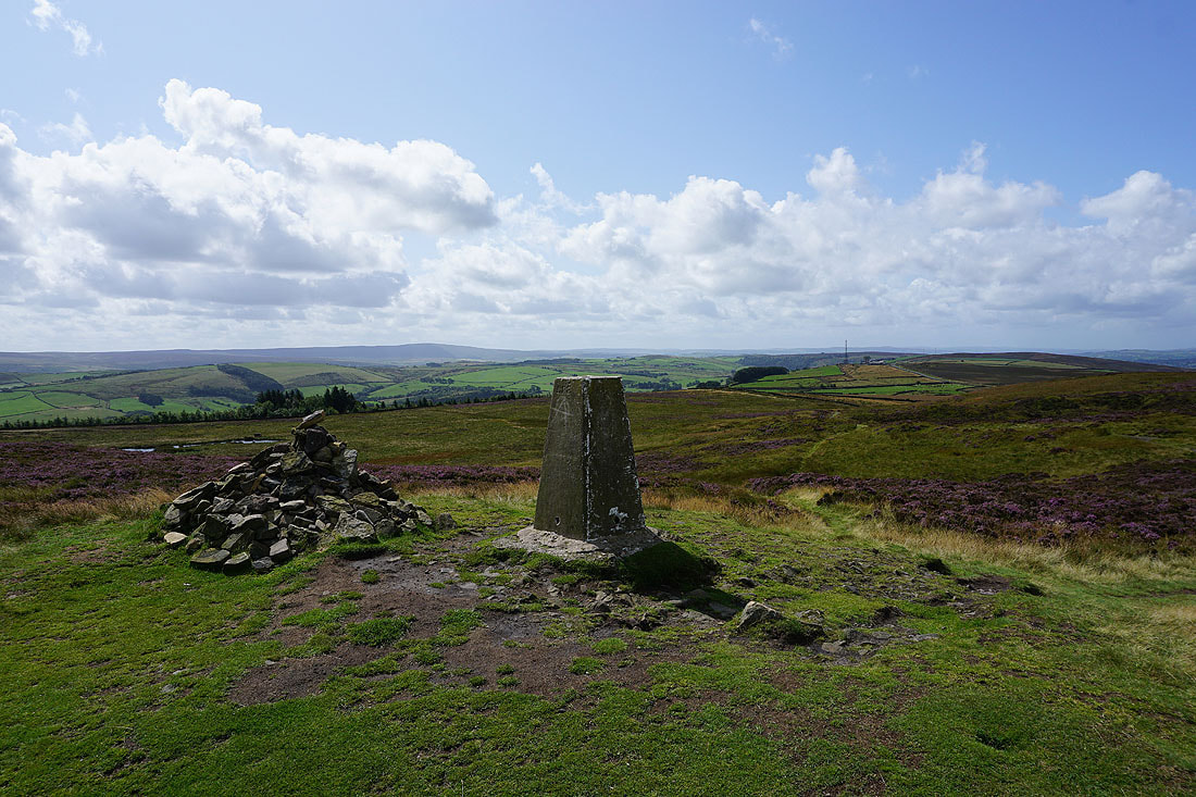
Looking towards the Forest of Bowland
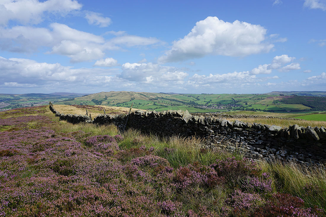
Rye Loaf Hill and the hills around Settle, Buckden Pike, Great Whernside and Barden Moor
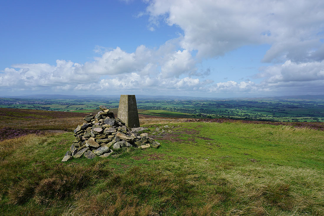
Big skies and open spaces
One last shot from the summit. Barden Moor, Barden Fell and Skipton Moor.
Looking down into Lothersdale as I retrace my steps to Carleton Moor
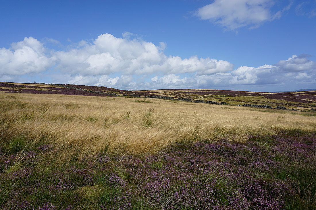
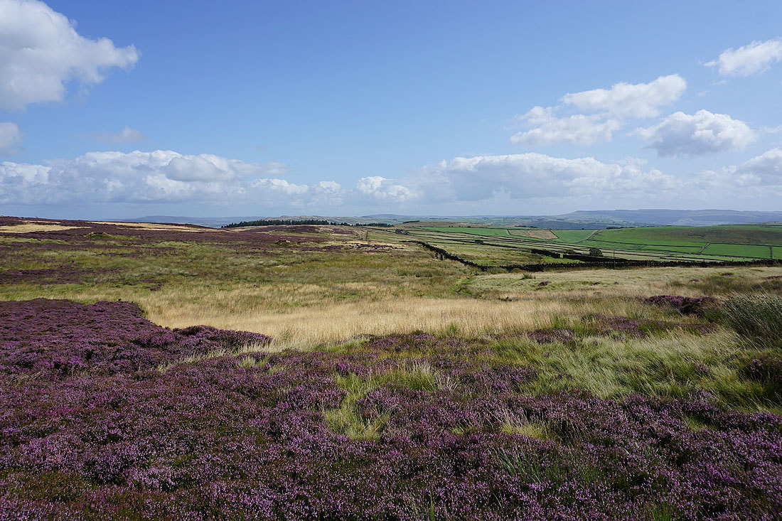
There's a great range of colours on the moors at this time of year
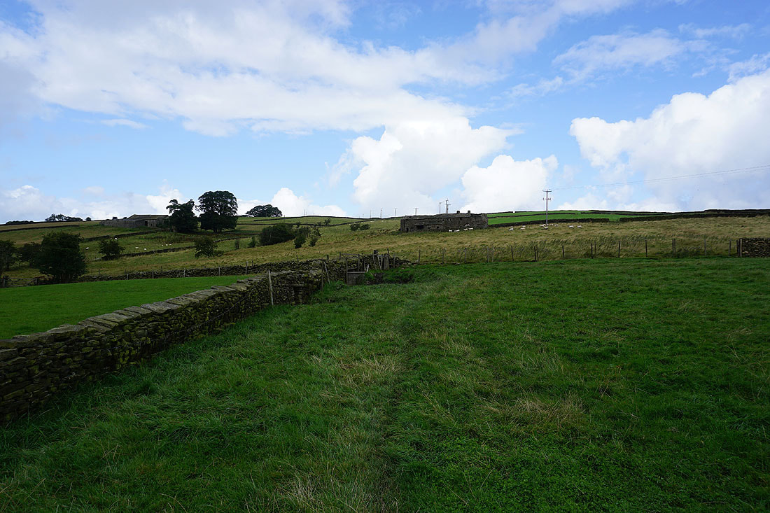
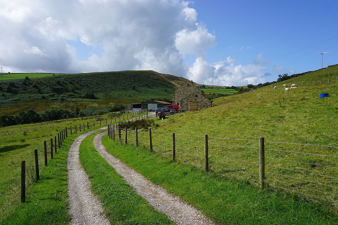
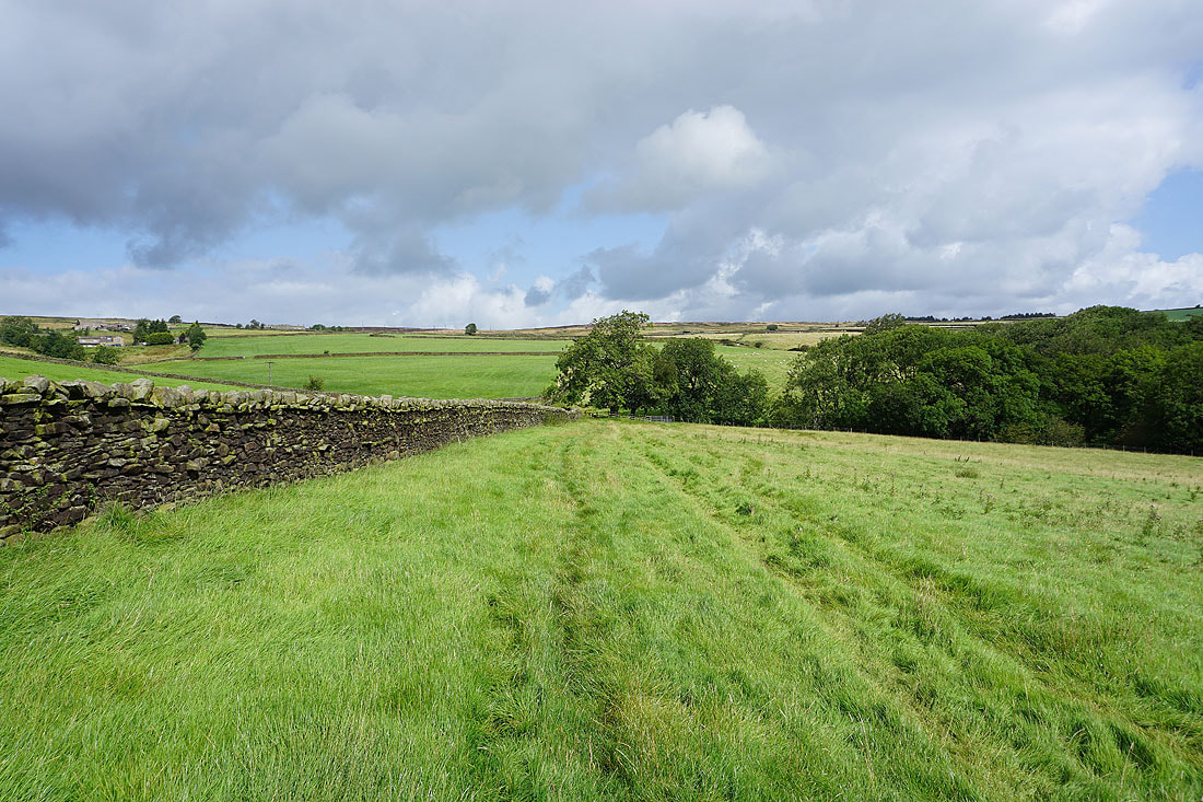
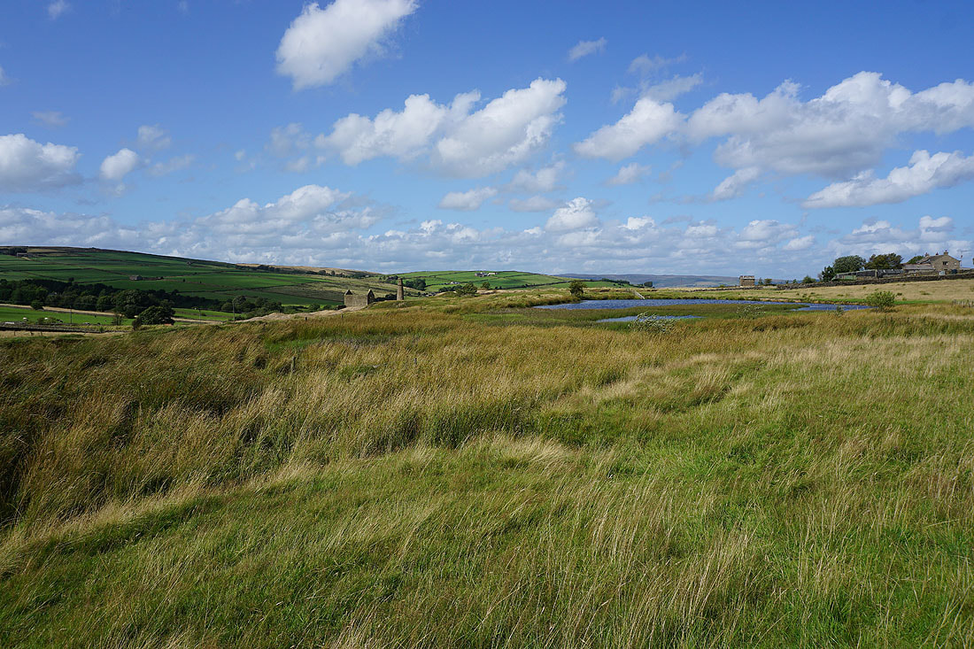
Having followed the Pennine Way back to White Hill Lane, I've left it for the bridleway to Tow Top Farm and Tow Top Moor
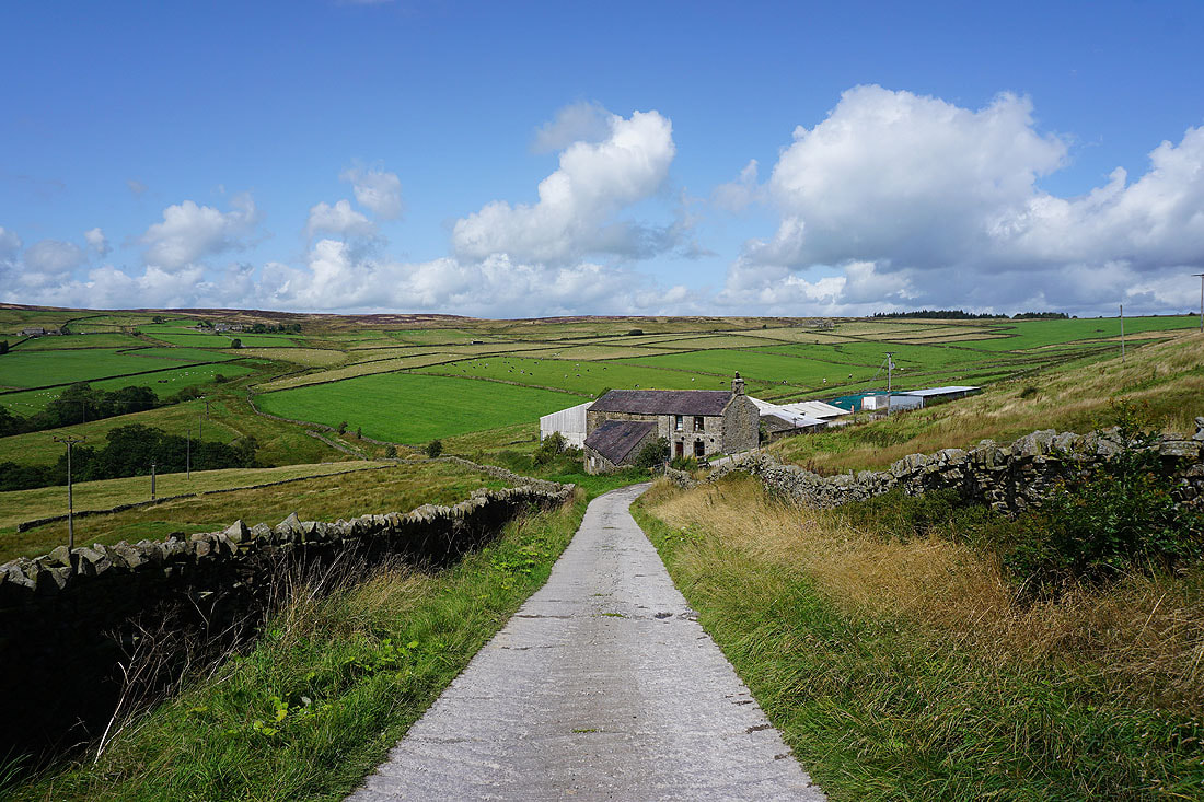
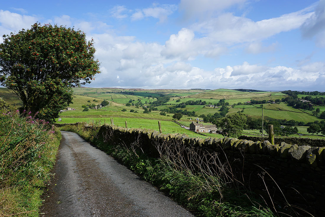
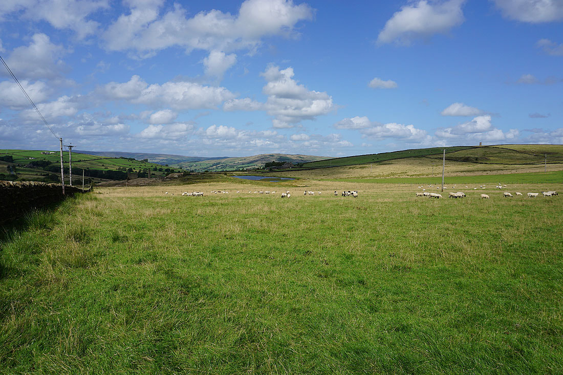
Looking back to Carleton Moor from above Tow Top Farm
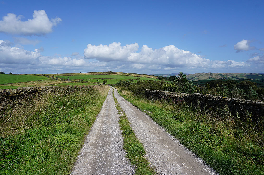
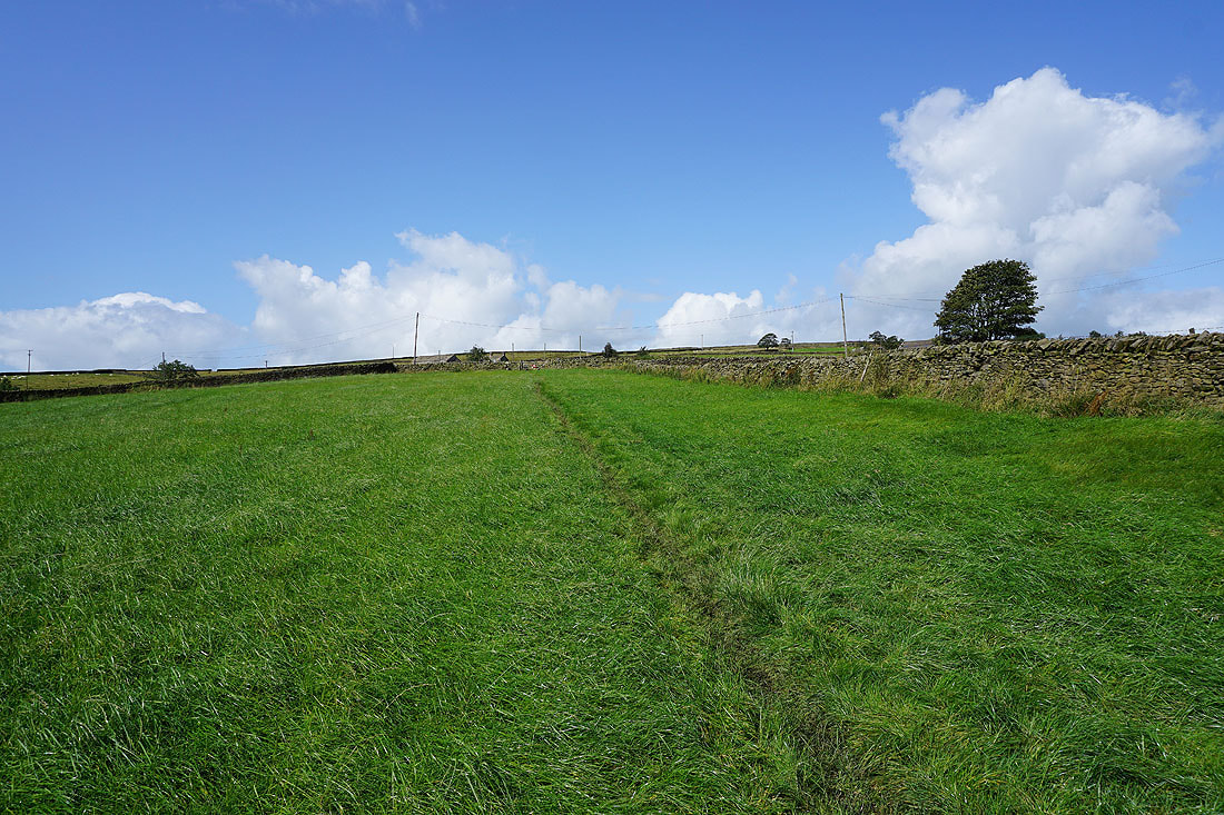
Heading towards Burnt Hill on Tow Top Lane
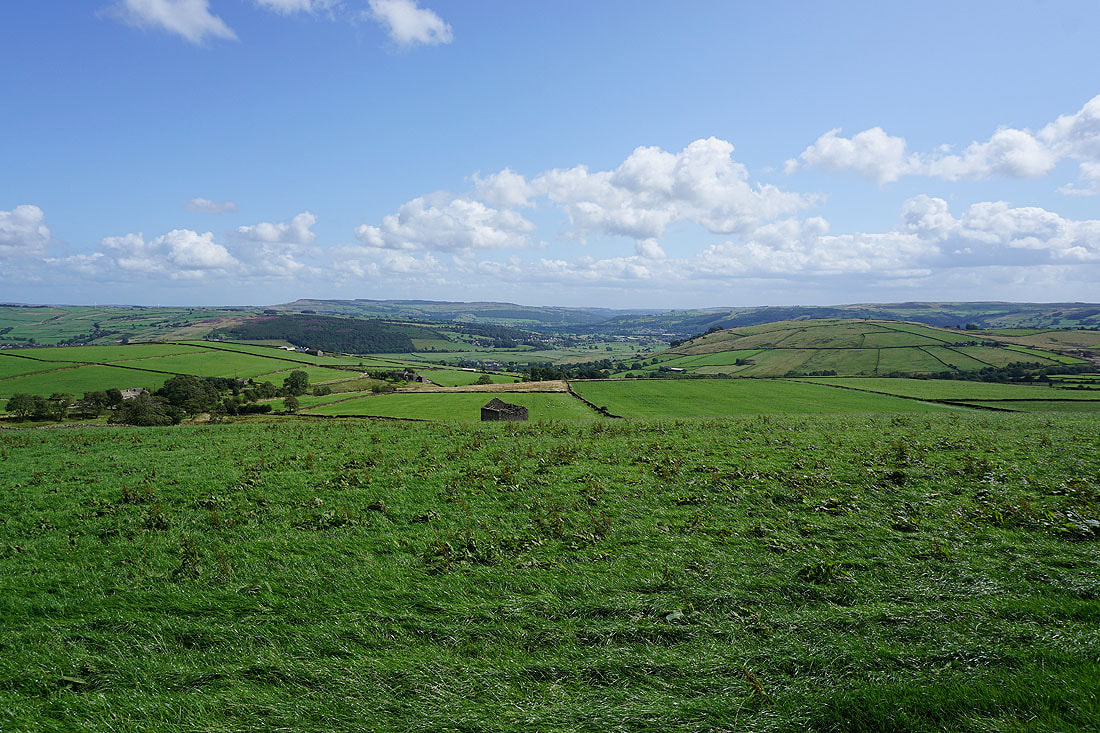
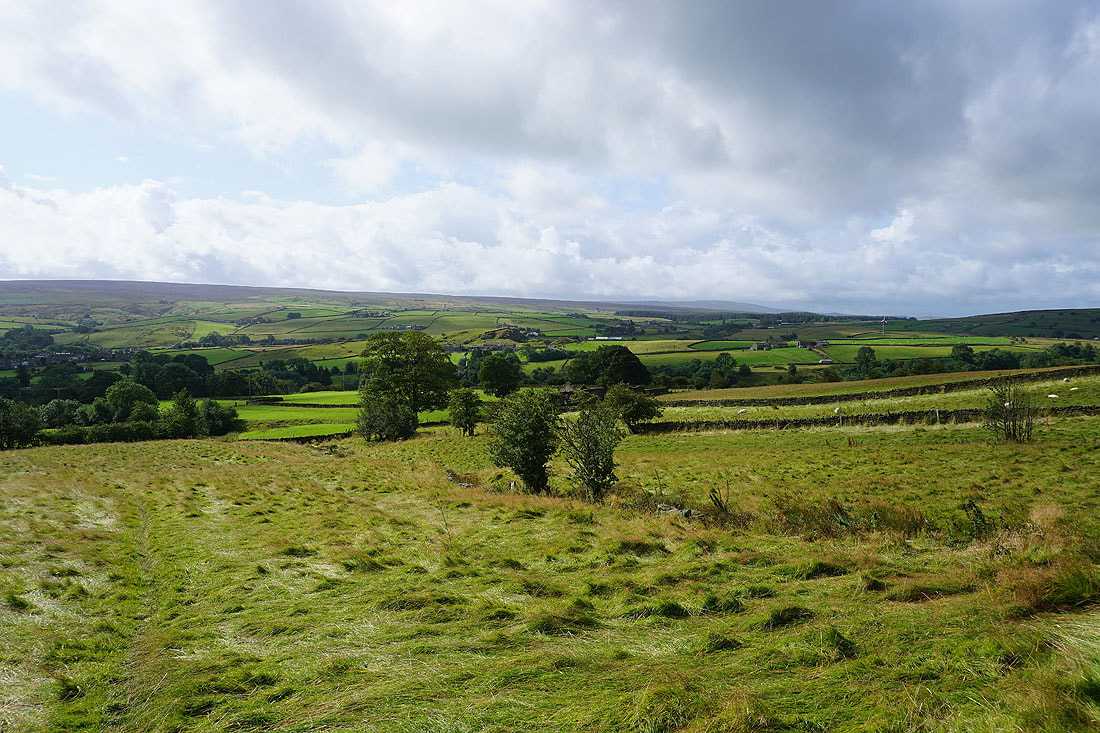
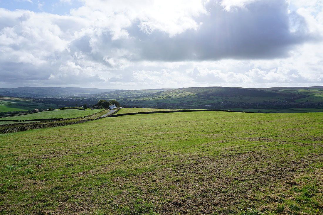
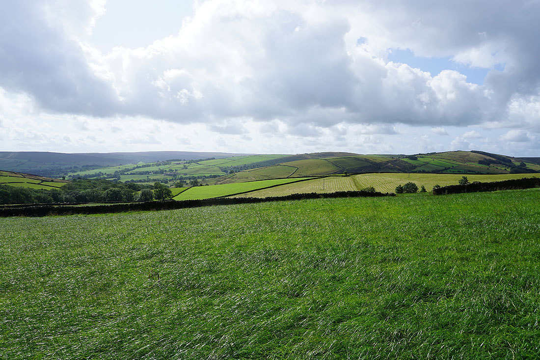
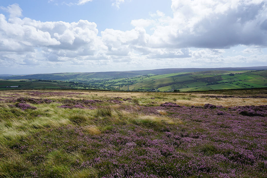
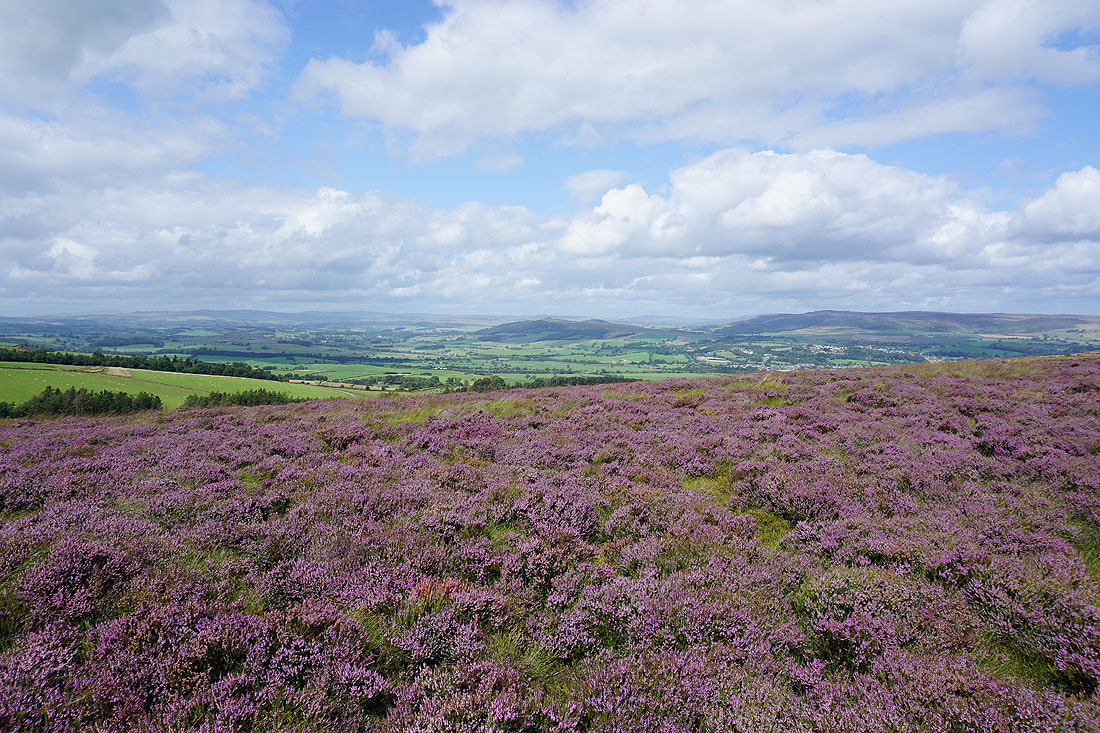
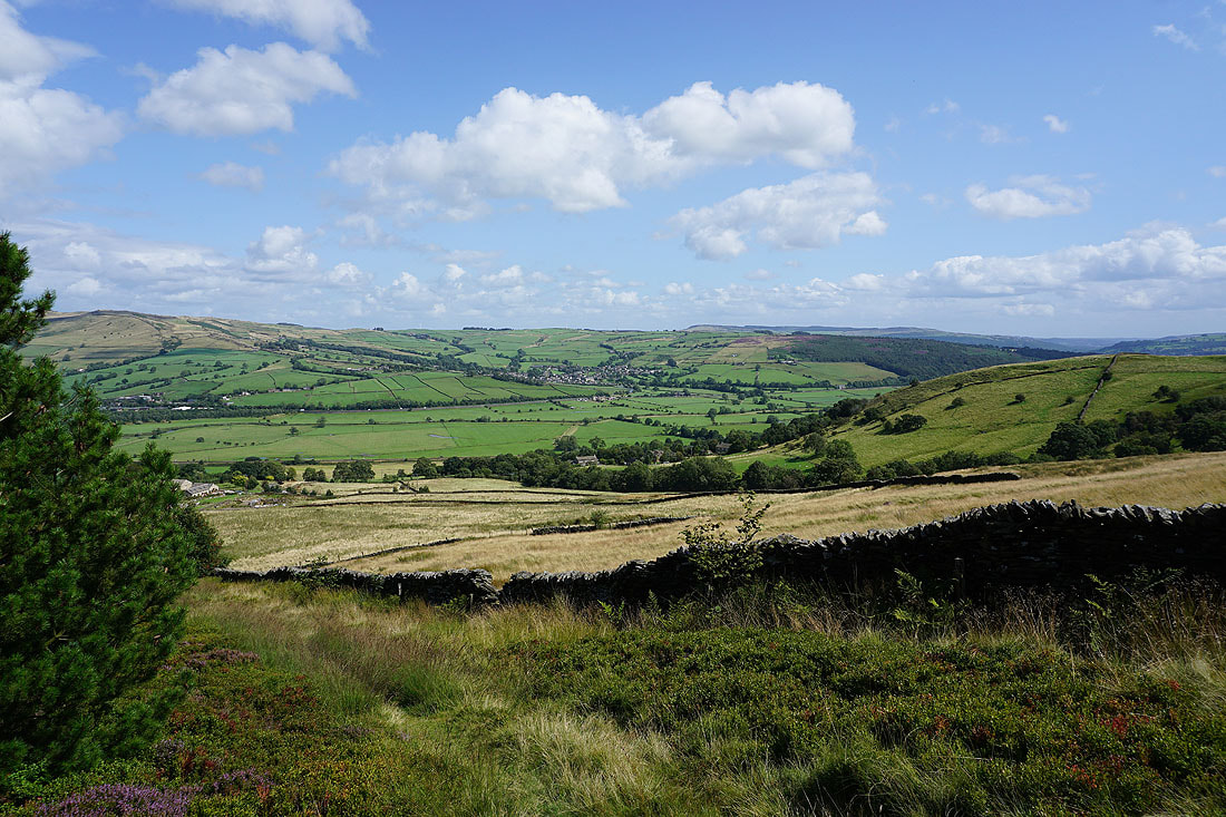
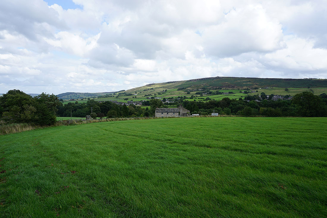
As I reach Burnt Hill I'm treated to a great view across Airedale
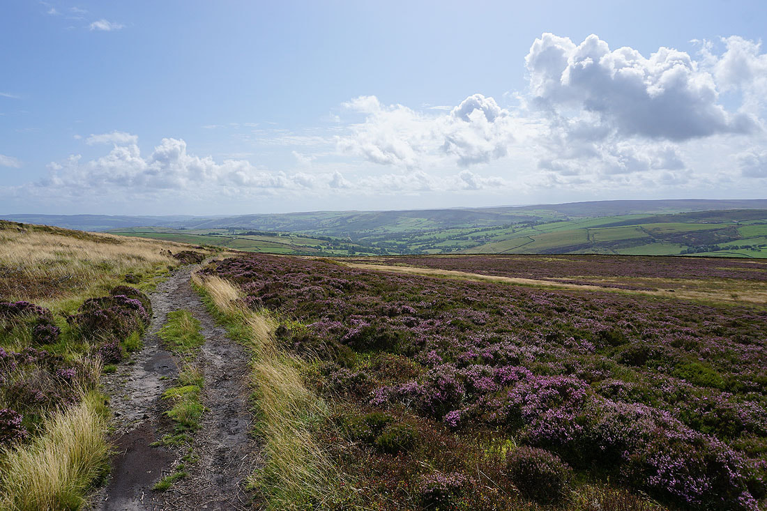
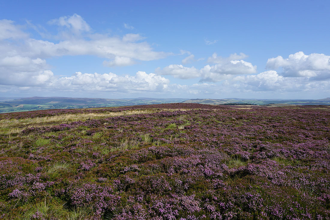
Barden Moor and Skipton Moor from a heathery Burnt Hill. There's still more heather to come with the ridge of Ramshaw ahead.
Rye Loaf Hill and Fountains Fell in the distance on the left, and Sharp Haw and Barden Moor from Ramshaw
Barden Moor and Skipton Moor as I follow the path along the crest of Ramshaw
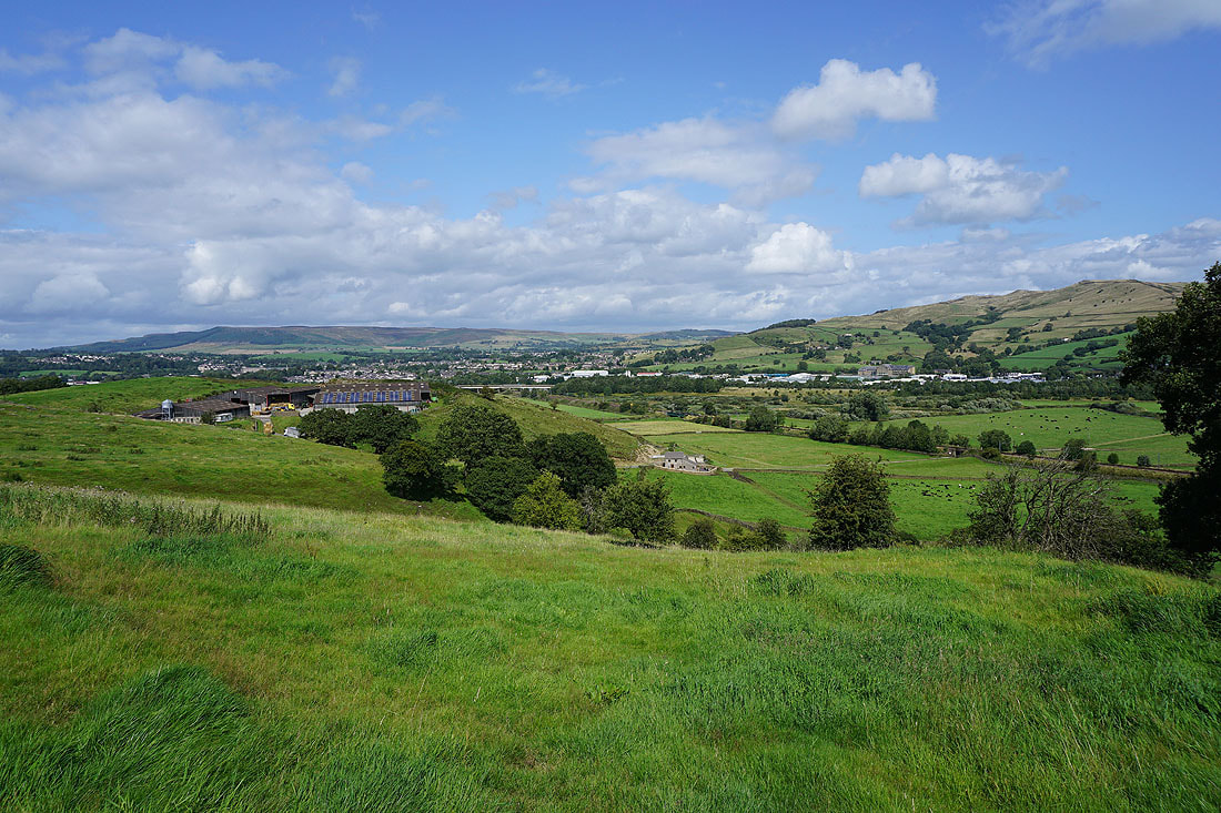
Skipton Moor and Low Bradley
Skipton and Skipton Moor
Low Bradley on the other side of Airedale as I follow the ridge down into the valley
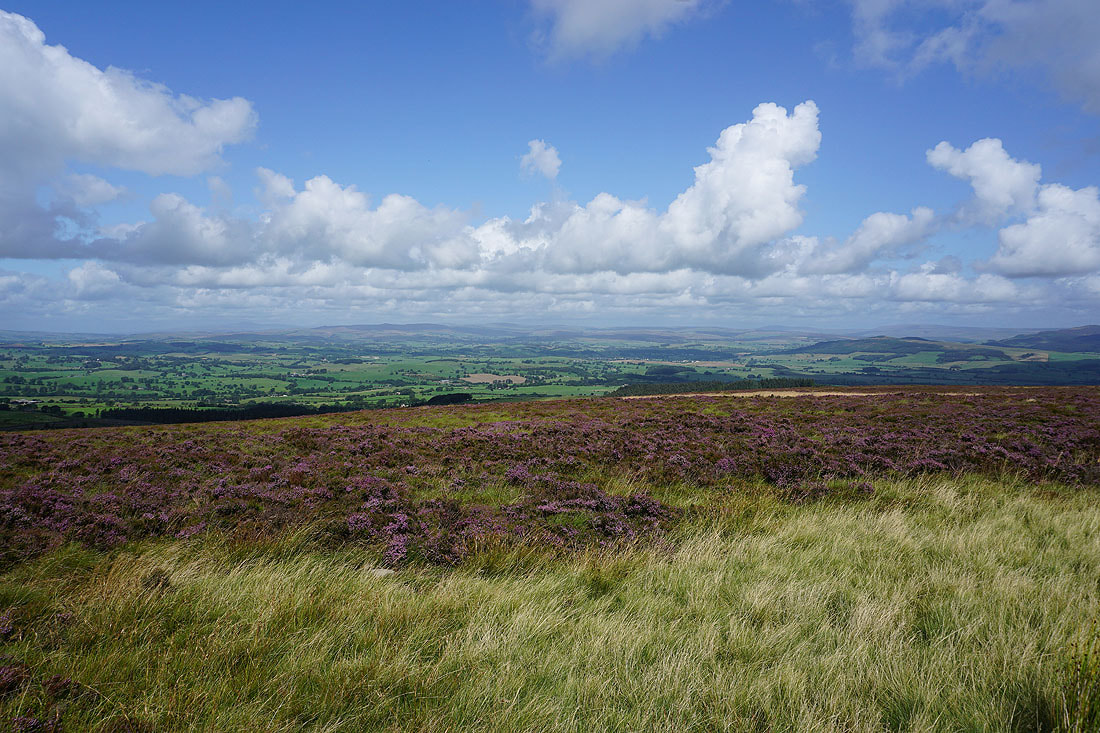
Barden Moor, Skipton and Skipton Moor from Cononley Woodside
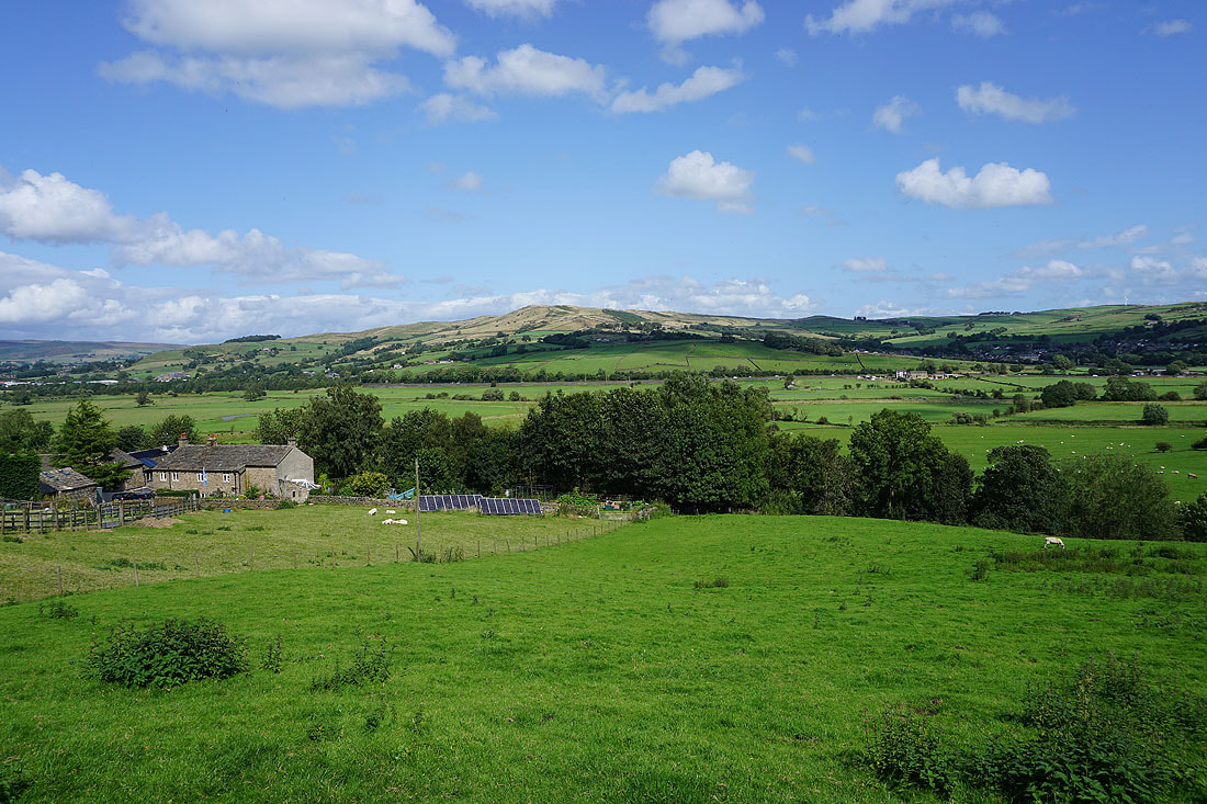
Looking across Airedale to Skipton Moor..
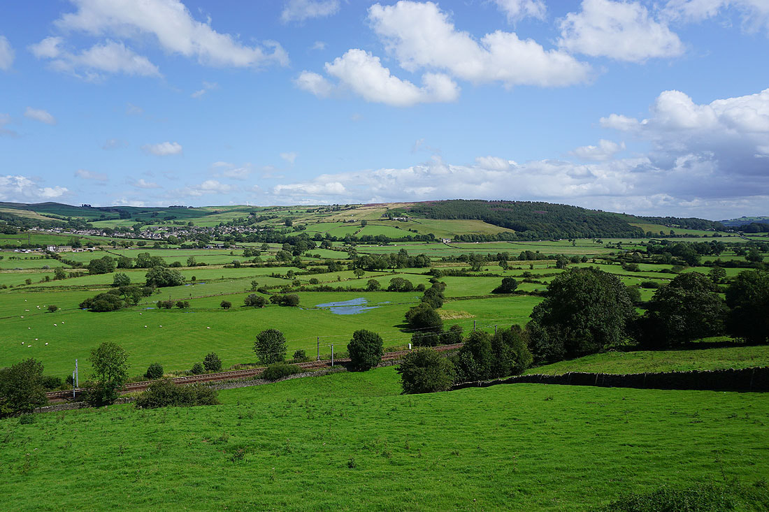
..and to Low Bradley and Farnhill Moor from Woodside Lane
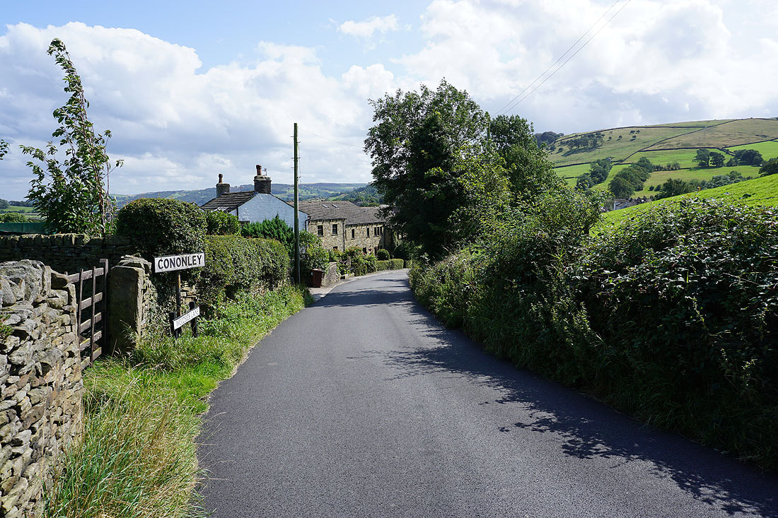
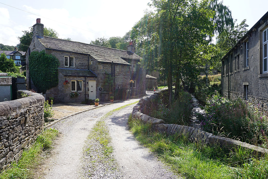
Arriving in the village of Cononley
and leaving Cononley on Gibside Lane
Barden Moor and Skipton in the distance, Airedale, Skipton Moor and Low Bradley from the footpath up the side of the hill of Gib..
Passing over the hill of Gib takes me past disused and ruined mine workings..
On the byway down to Leys House and Leys Beck
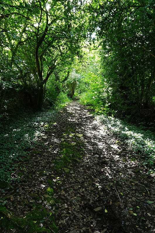
Dappled shade as I follow it uphill after crossing Leys Beck
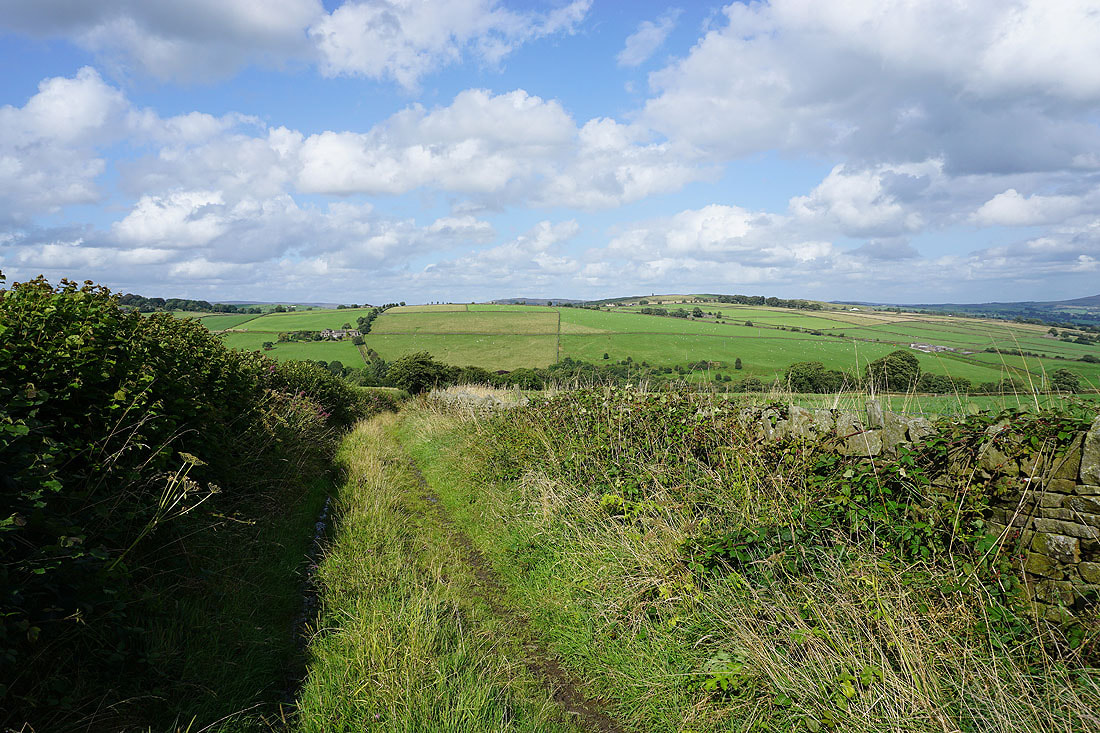
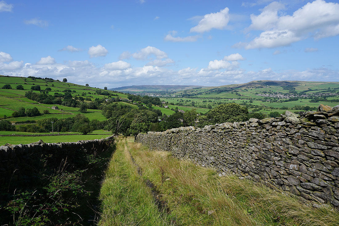
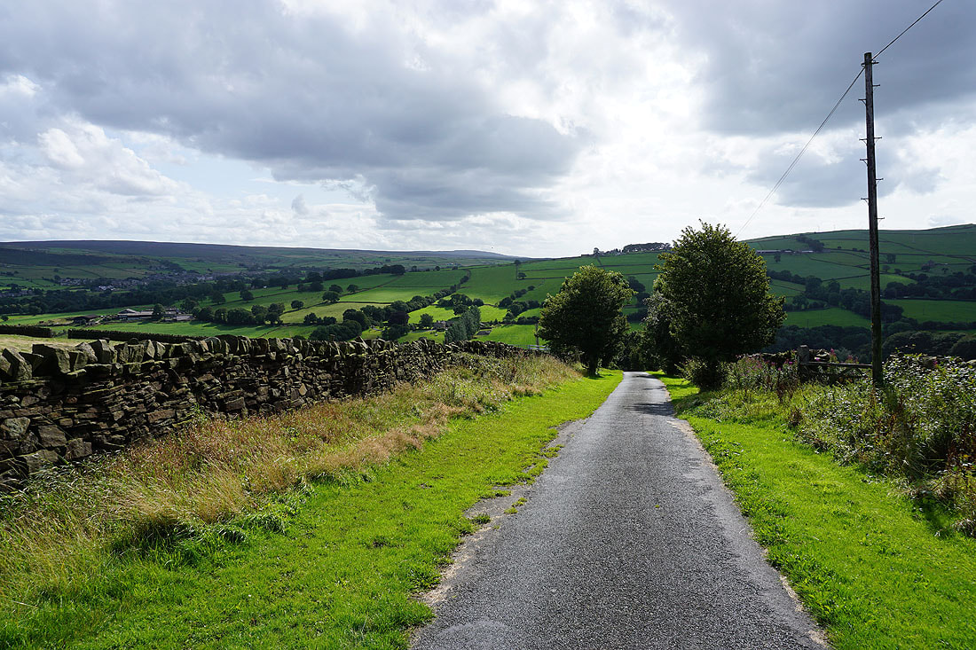
Looking back to Leys Top and Gib as I reach Long Lane on Cowling Hill
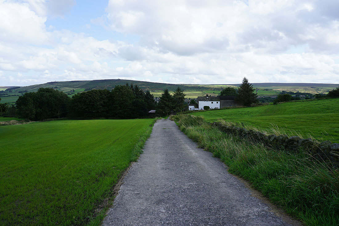
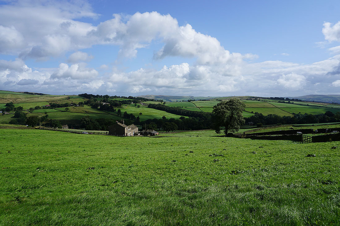
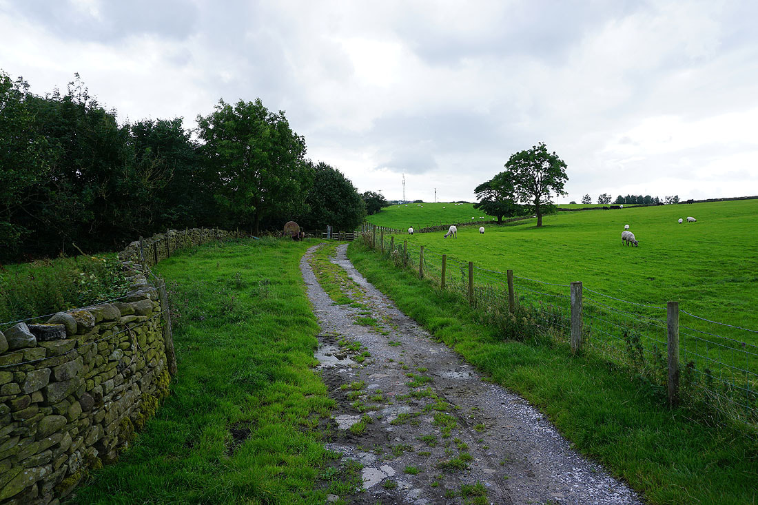
On the footpath from Long Lane to Dairy House Farm
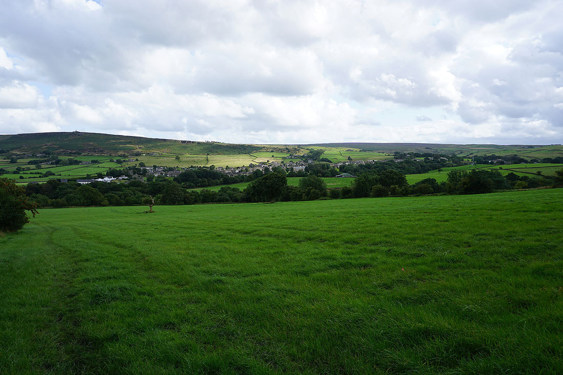
Cowling and..
..Earl Crag as I follow the footpath down to..
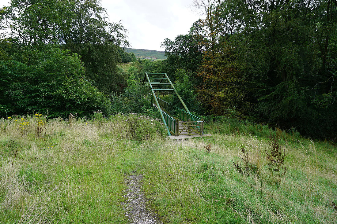
..Ridge Mill Bridge
From Ridge Mill Bridge I join the track of Cinder Hill Lane
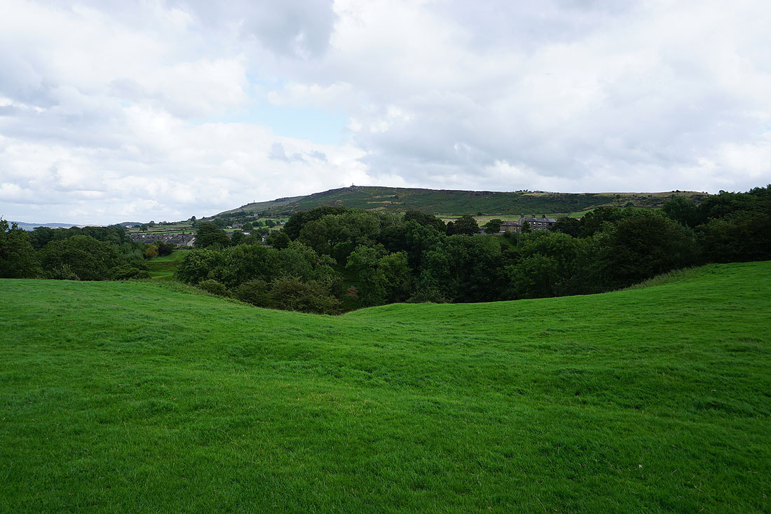
Earl Crag above the roofs of Cowling
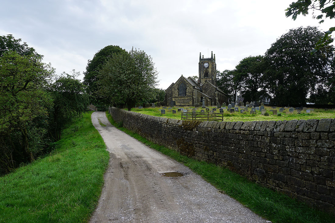
Holy Trinity Church as I make it back to Ickornshaw