17th December 2016 - Whernside
Walk Details
Distance walked: 7.9 miles
Total ascent: 1615 ft
OS map used: OL2 - Yorkshire Dales, Southern & Western areas
Time taken: 5 hrs
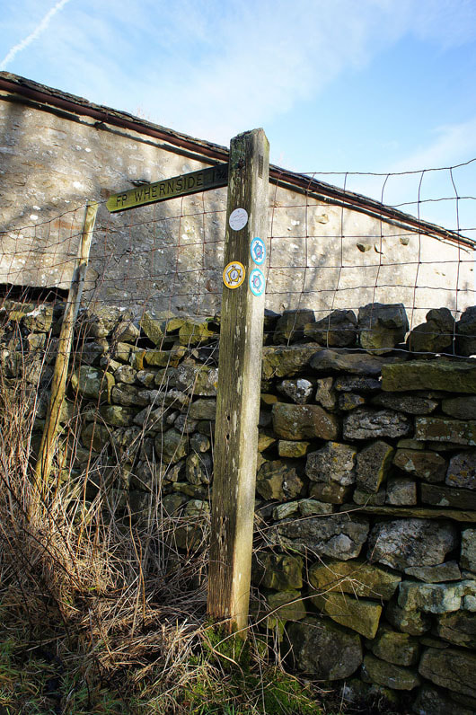
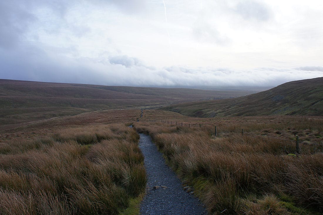
Route description: Ribblehead-Ribblehead Viaduct-Gunnerfleet Farm-Winterscales-Ivescar-Broadrake-High Pike-Whernside-Dales High Way-Little Dale-Bleamoor Sidings-Ribblehead Viaduct-Ribblehead
When I set off for Ribblehead this morning my plan had been to climb Whernside and take in Whernside Tarns. I'd first paid them a visit back in March but on what turned out to be a rather grey and hazy day. I promised myself that I'd go back when a day of sunshine and good visibility was forecast. That was supposed to be today but the weather decided not to play ball. Fog not only bothered the valleys but ended up covering the tops of the moors as well. Obviously I changed my planned route and instead of heading for Whernside Tarns I came down off Whernside by the popular path. It did mean that I had the time to go and have a proper look at the waterfall on Force Gill on the way back to Ribblehead.
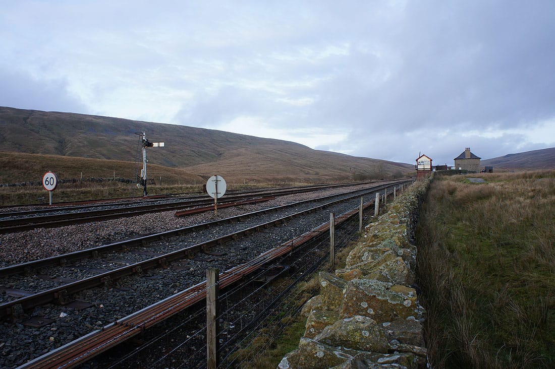
After parking in the layby on the Blea Moor Road at Ribblehead I set off by taking the path then track to the Ribblehead Viaduct, through the arches and on to Gunnerfleet Farm. Here I turned right and took the byway towards Winterscales Farm to pick up the bridleway southwest past Ivescar Farm and Broadrake. Just before Bruntscar the path to the summit is reached, I left the bridleway and followed this uphill to the south ridge and then on to the summit. After having lunch sat in the shelter of the wall I made my way back down by the path to Little Dale, past Bleamoor Sidings and the Ribblehead Viaduct to where I'd parked by the Blea Moor Road.
Total ascent: 1615 ft
OS map used: OL2 - Yorkshire Dales, Southern & Western areas
Time taken: 5 hrs
Route description: Ribblehead-Ribblehead Viaduct-Gunnerfleet Farm-Winterscales-Ivescar-Broadrake-High Pike-Whernside-Dales High Way-Little Dale-Bleamoor Sidings-Ribblehead Viaduct-Ribblehead
When I set off for Ribblehead this morning my plan had been to climb Whernside and take in Whernside Tarns. I'd first paid them a visit back in March but on what turned out to be a rather grey and hazy day. I promised myself that I'd go back when a day of sunshine and good visibility was forecast. That was supposed to be today but the weather decided not to play ball. Fog not only bothered the valleys but ended up covering the tops of the moors as well. Obviously I changed my planned route and instead of heading for Whernside Tarns I came down off Whernside by the popular path. It did mean that I had the time to go and have a proper look at the waterfall on Force Gill on the way back to Ribblehead.
After parking in the layby on the Blea Moor Road at Ribblehead I set off by taking the path then track to the Ribblehead Viaduct, through the arches and on to Gunnerfleet Farm. Here I turned right and took the byway towards Winterscales Farm to pick up the bridleway southwest past Ivescar Farm and Broadrake. Just before Bruntscar the path to the summit is reached, I left the bridleway and followed this uphill to the south ridge and then on to the summit. After having lunch sat in the shelter of the wall I made my way back down by the path to Little Dale, past Bleamoor Sidings and the Ribblehead Viaduct to where I'd parked by the Blea Moor Road.
Route map
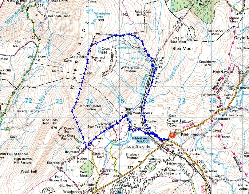
© Crown copyright. All rights reserved. License number PU 100034184.
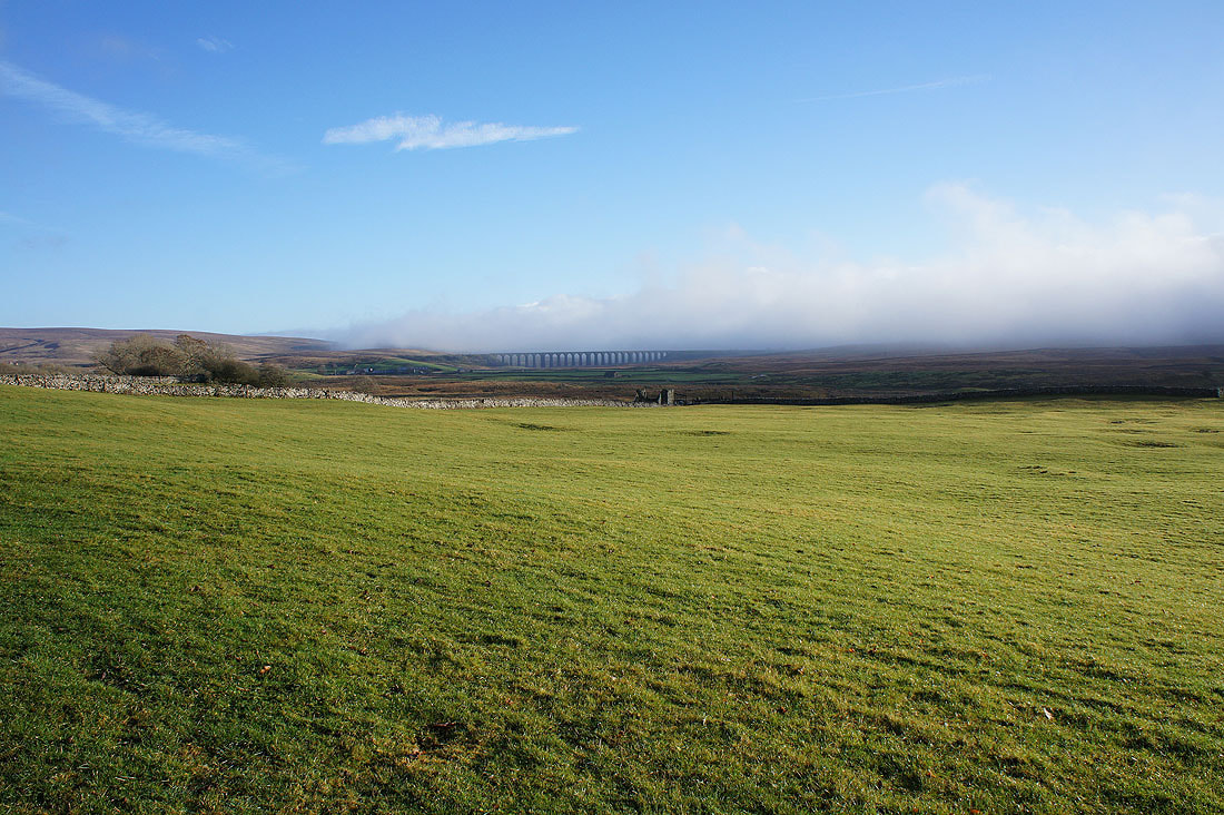
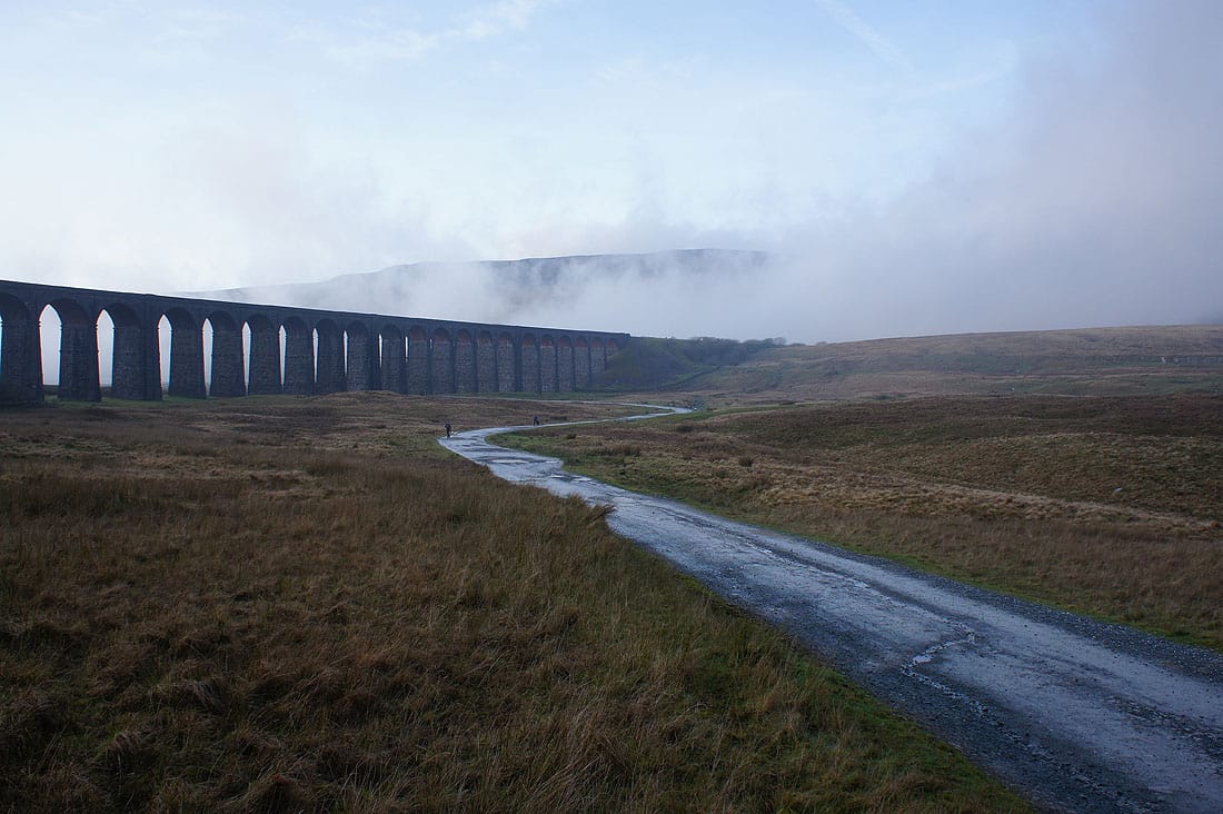
It's very foggy as I arrive at Ribblehead. I hope it clears or I get above it, sunny skies were forecast.
On the bridleway to Gunnerfleet Farm with the fog shrouded slopes of Whernside behind
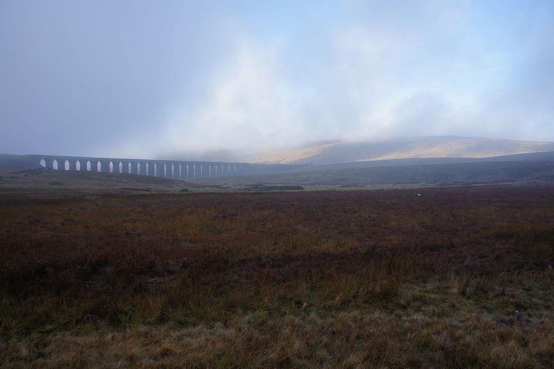
Looking back to the Ribblehead Viaduct
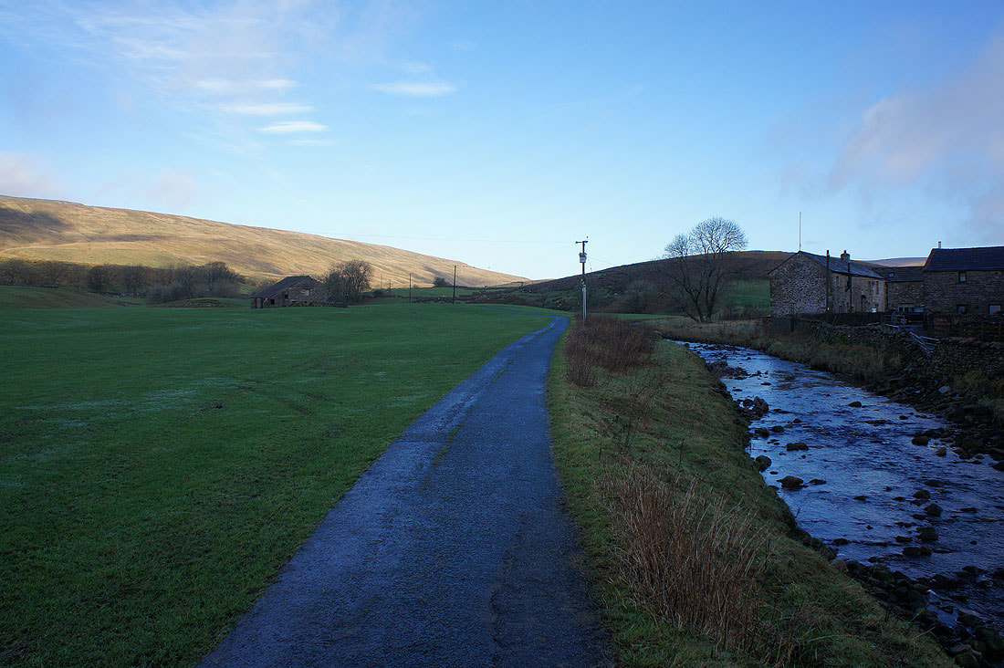
By Winterscales Beck as I take the byway from Gunnerfleet Farm to Winterscales Farm
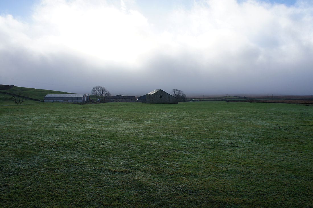
The fog swirls around behind Gunnerfleet Farm
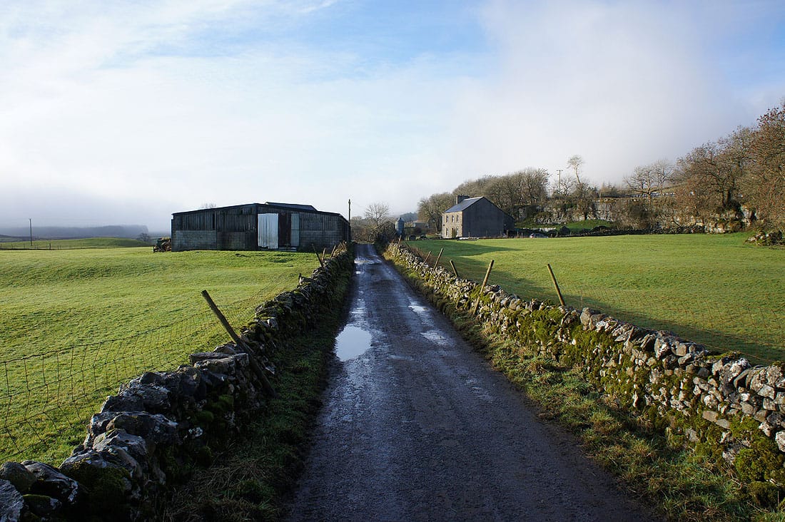
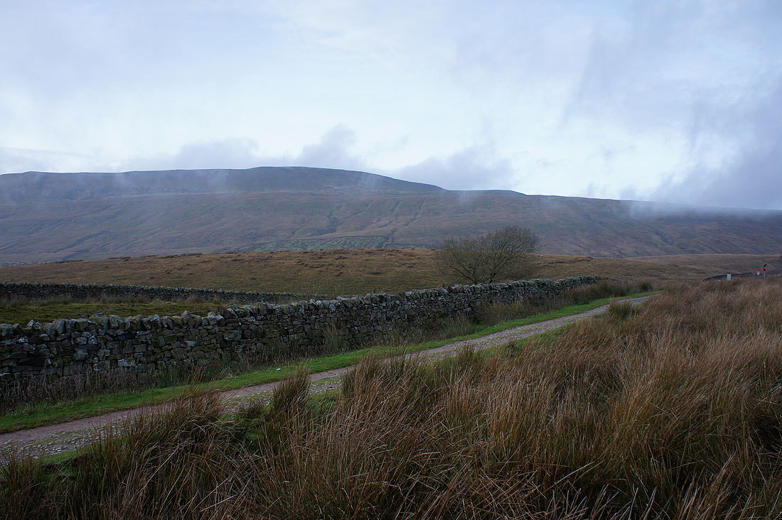
On the Dales High Way trail and bridleway through Ivescar Farm
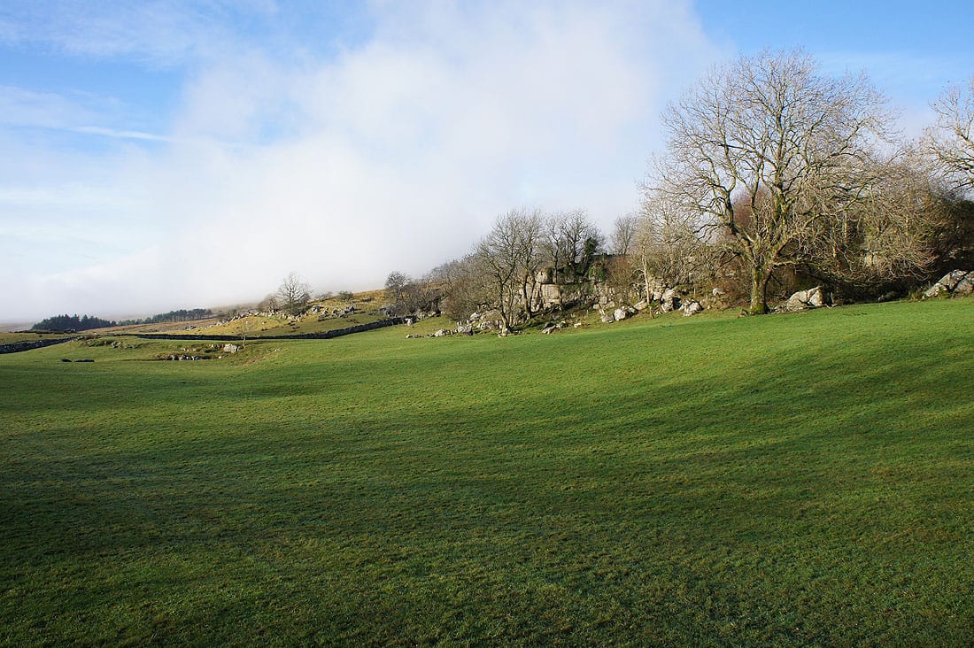
A low limestone cliff runs along the hillside here appropriately called The Scar
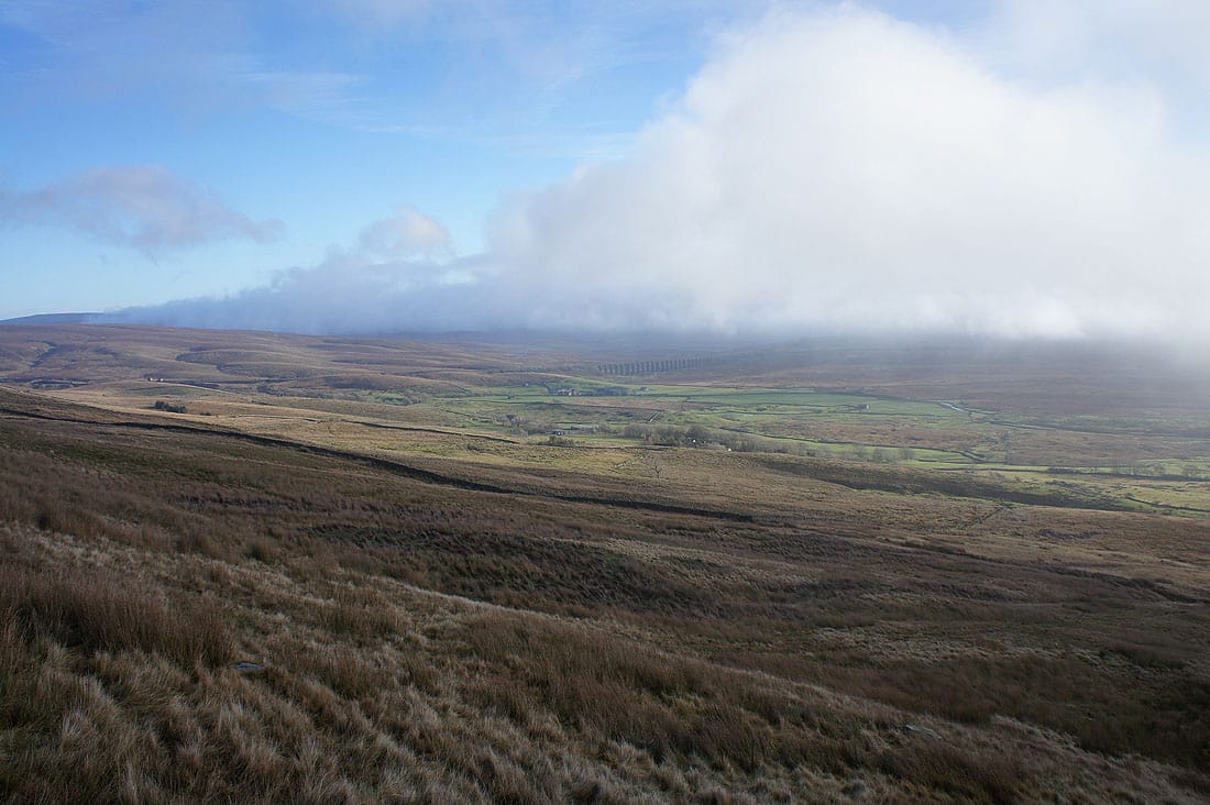
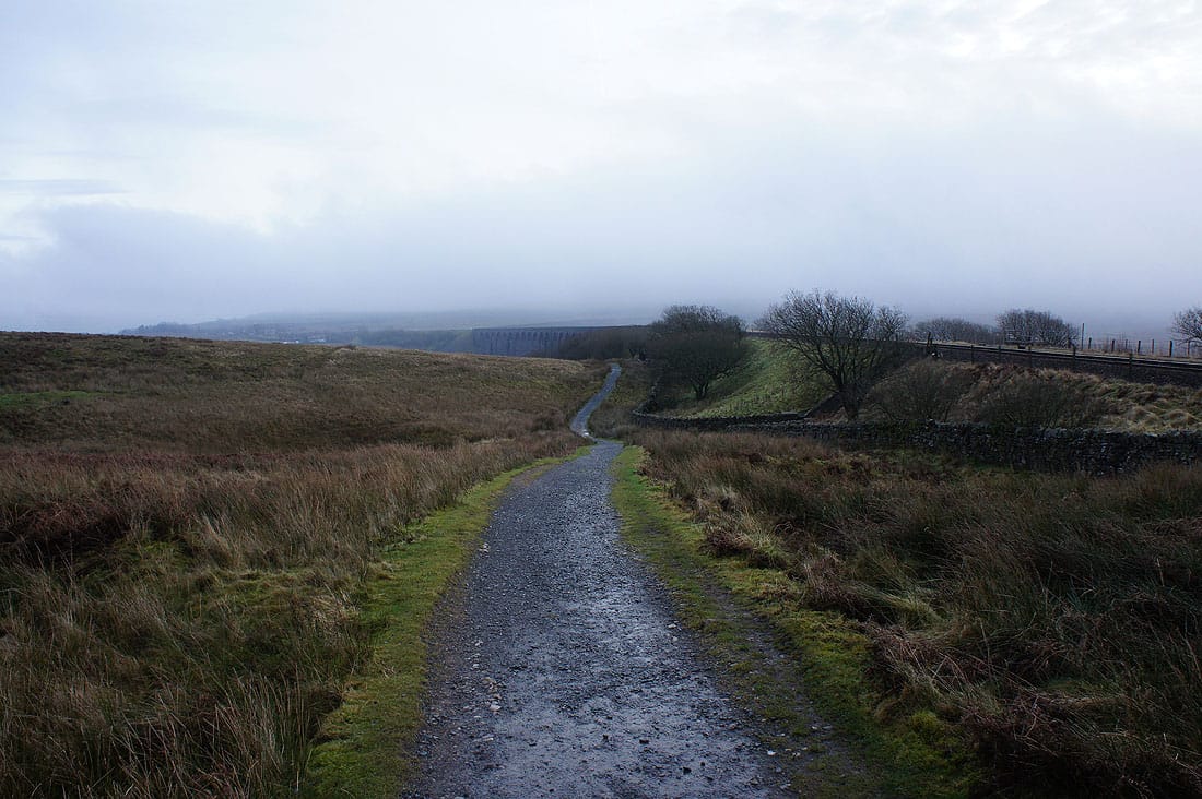
A distant Ribblehead Viaduct as I reach Broadrake
and now it's time to head up
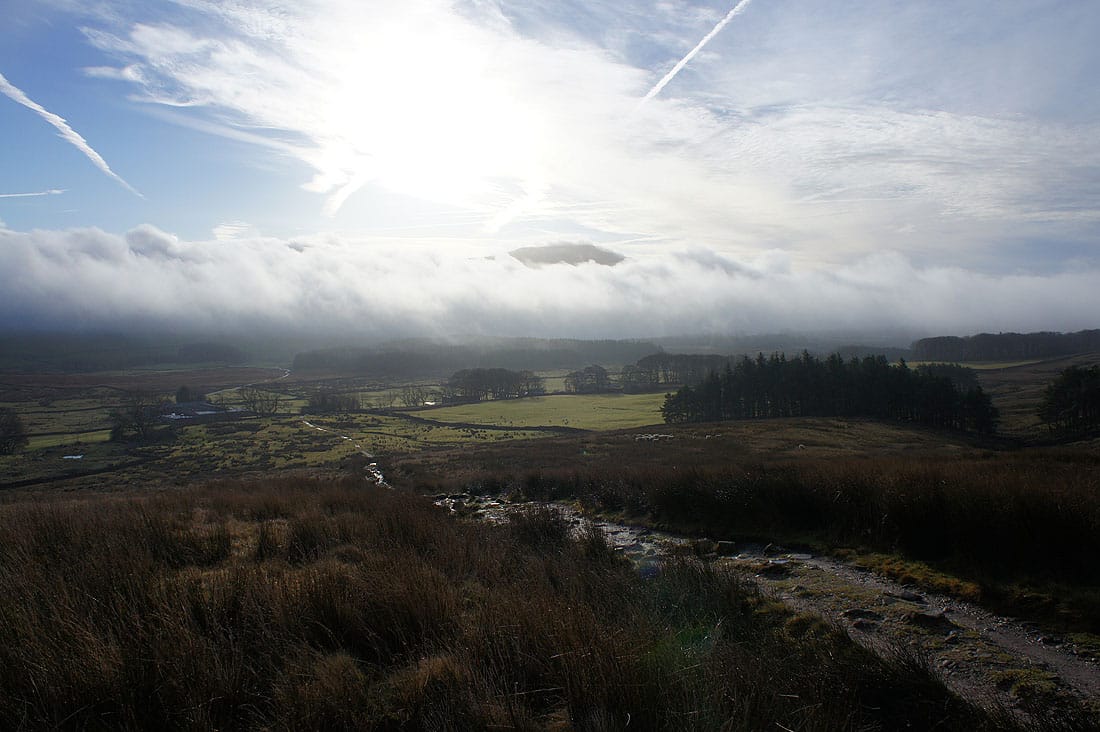
Fog surrounds Ingleborough on the other side of the valley and is flowing up over the summit
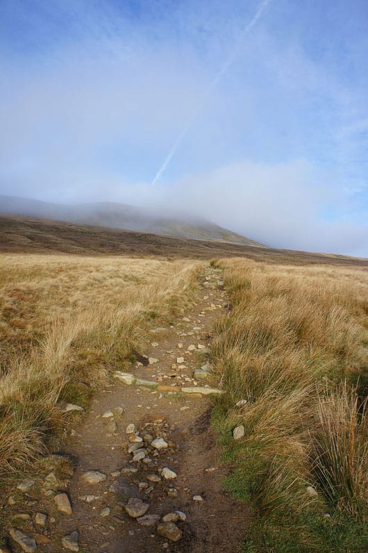
Nearing the mist as I approach High Pike
Ribblehead as I continue the climb
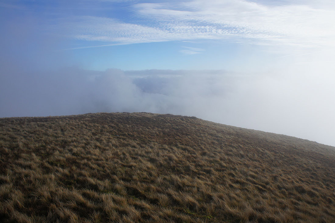
Into the fog and maybe briefly above it as I reach High Pike on Whernside's south ridge..
Looking south along the ridge..
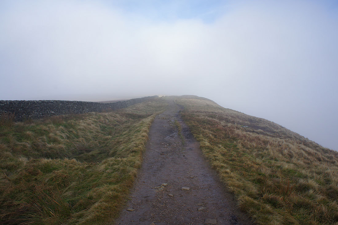
..and north as I head for the summit
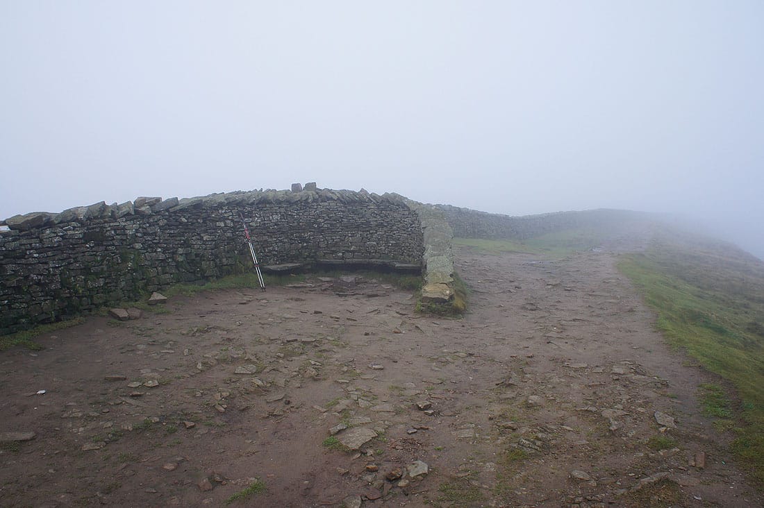
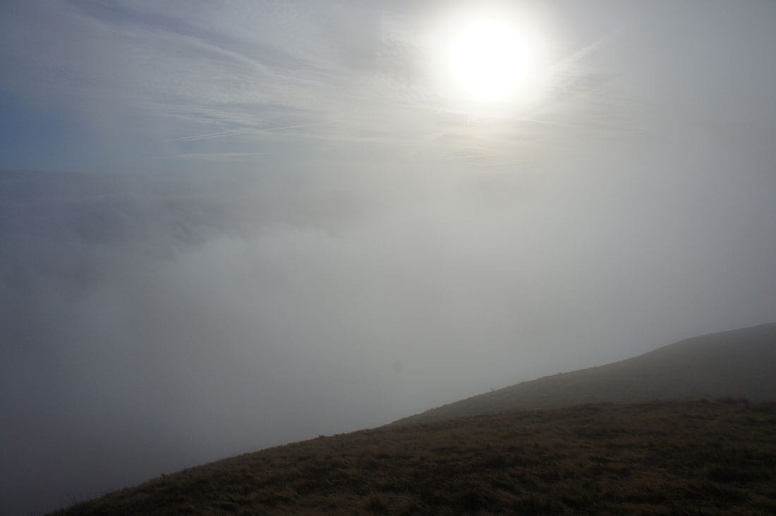
On the summit of Whernside and funnily enough I'm the only one daft enough to be here at the moment. Besides the fog it's also very windy. I might as well have my lunch and the seating in the wall gave some shelter. A few people passed over the summit while I was here but they didn't stop.
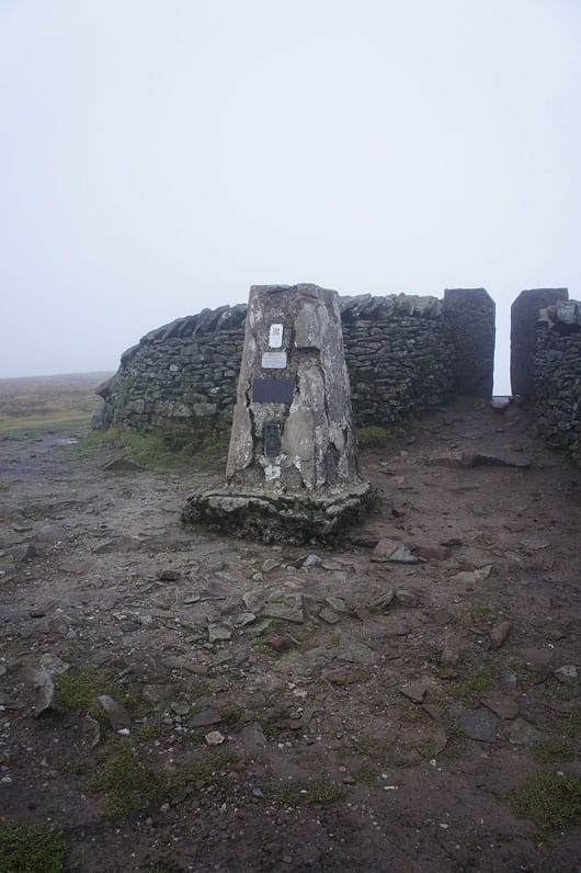
A quick look at the trig point before I move on
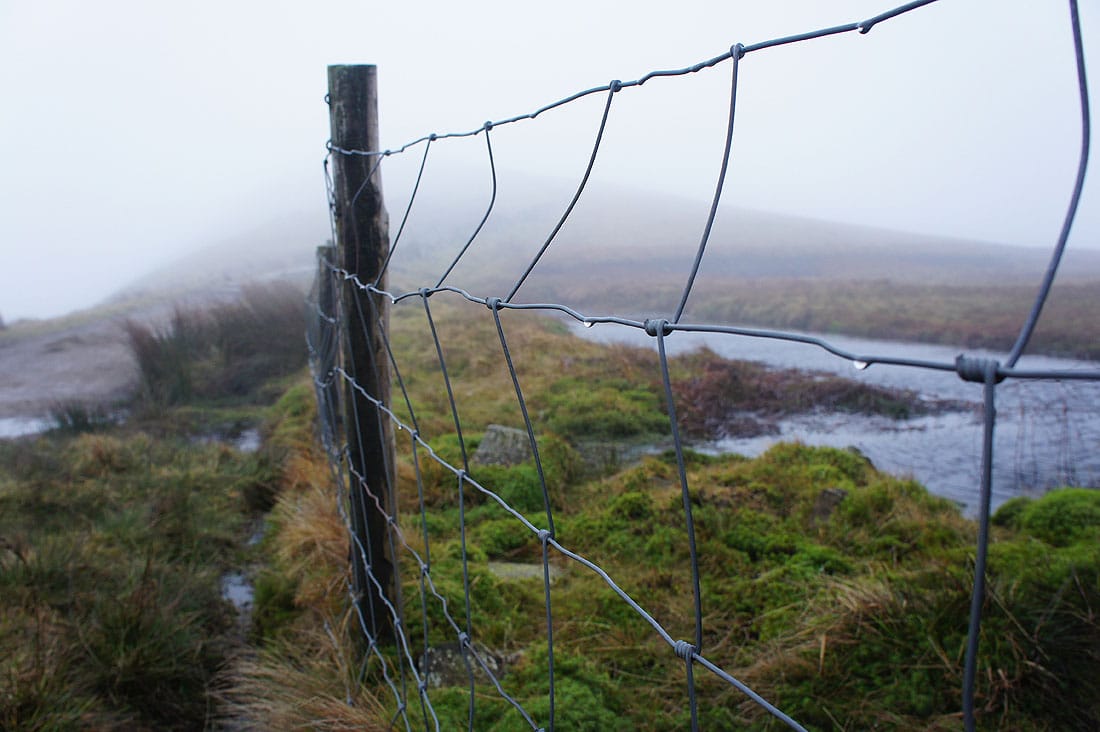
The fence along the summit catches the moisture in the fog
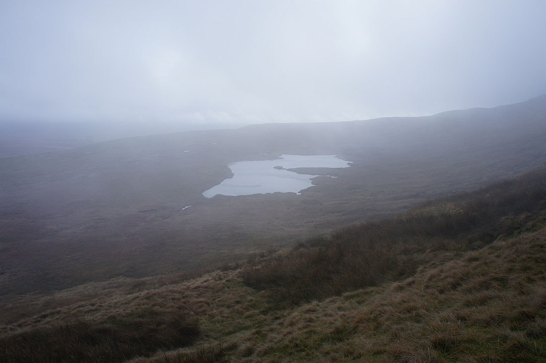
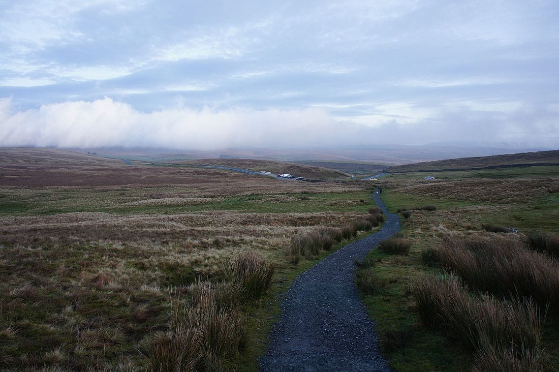
Greensett Tarn as I descend out of the murk
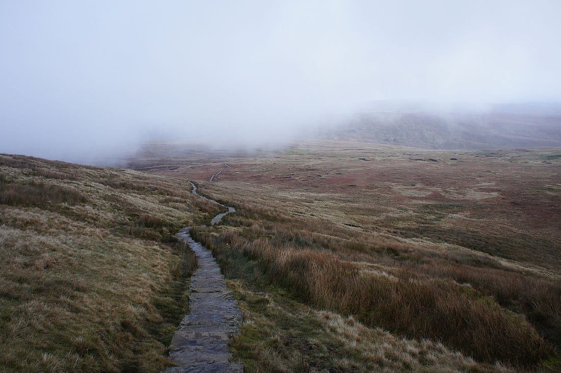
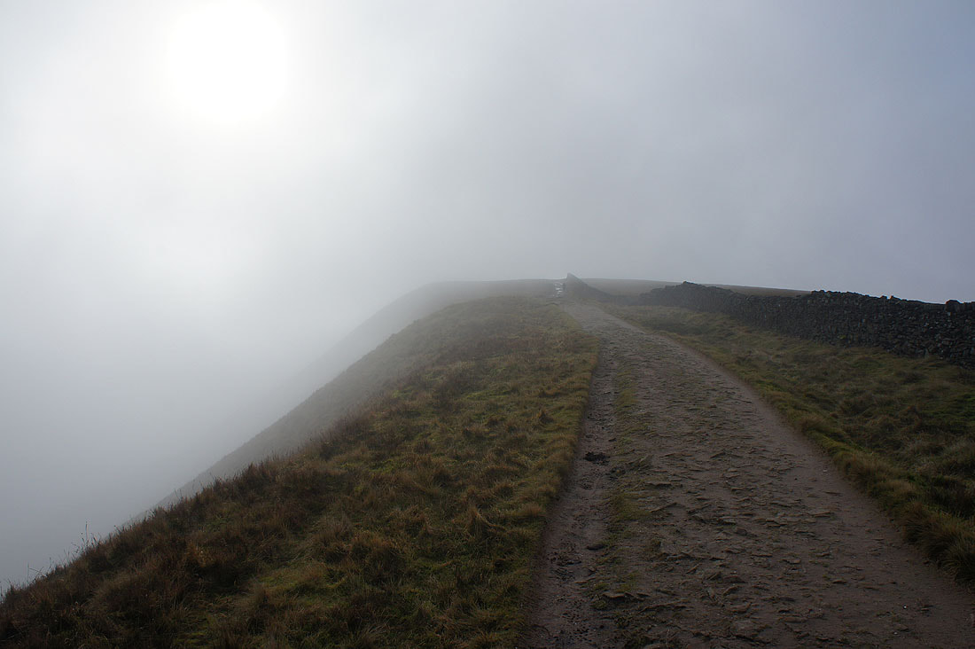
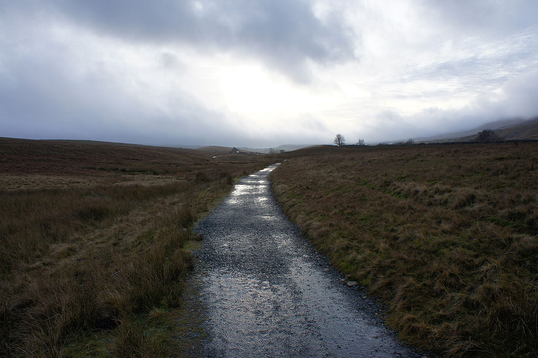
On the flagged path that will take me down to Little Dale..
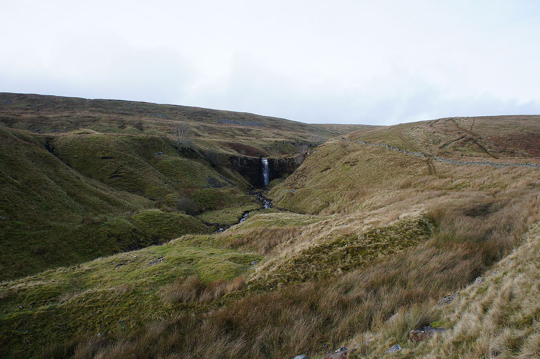
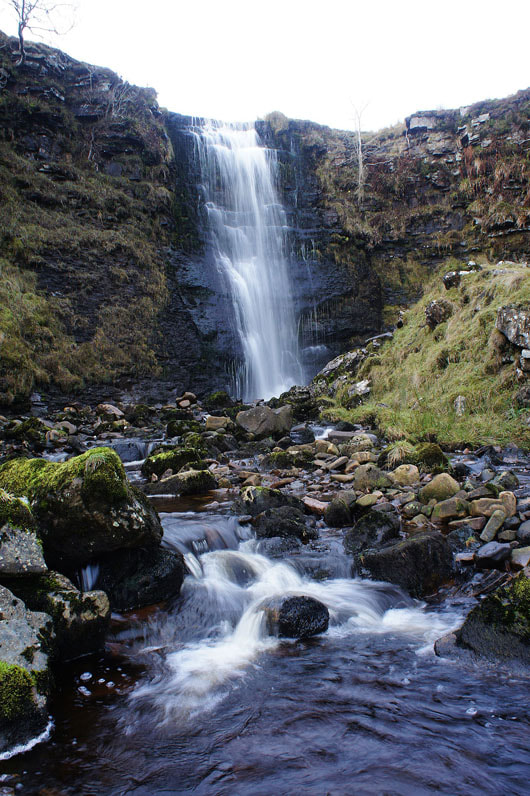
The main waterfall on Force Gill. When I've passed this way before I've not really had the time to leave the path and go and get up close to it. No excuses today.
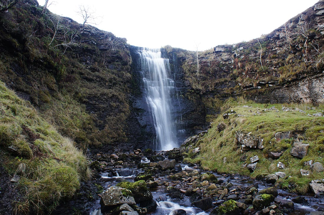
This is a really lovely waterfall and definitely worth a visit..
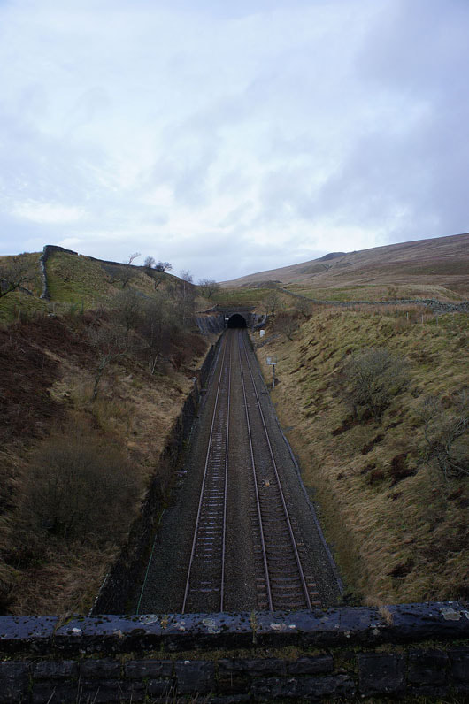
Crossing the Settle to Carlisle line where it enters the Bleamoor Tunnel
Approaching..
..and passing Bleamoor Sidings
Sods law that now I'm down here the cloud seems to have cleared from the top of Whernside
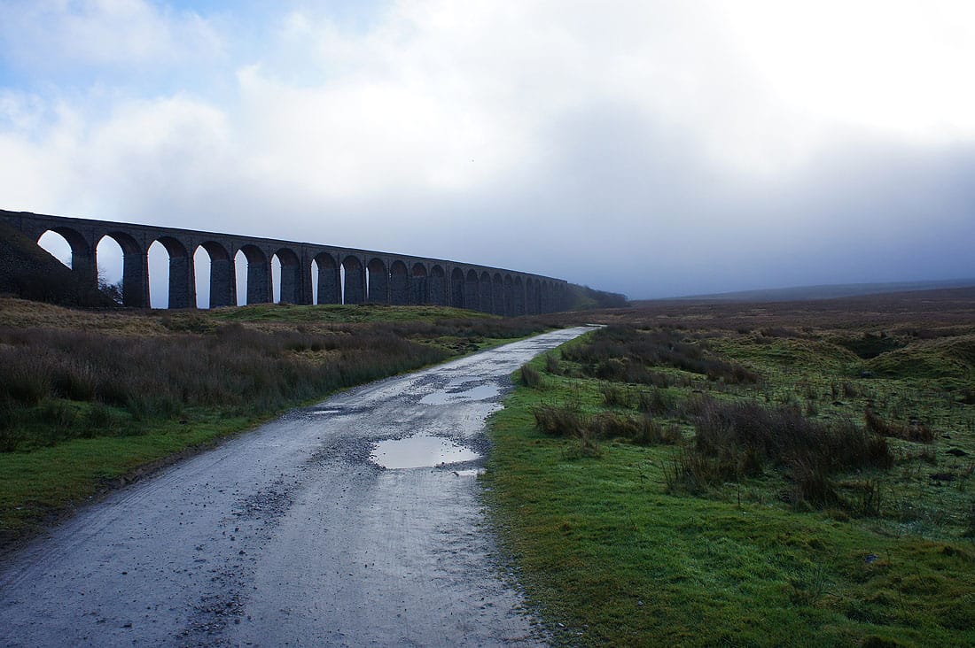
The Ribblehead Viaduct is in sight
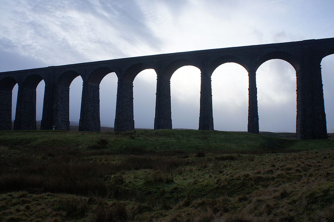
Misty arches
Looking back and the fog is rolling in again
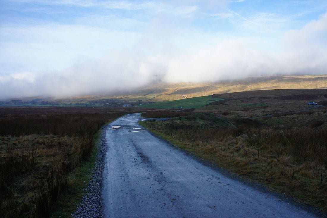
Back to where I started at the layby on the Blea Moor Road