17th December 2018 - Pendle Hill
Walk Details
Distance walked: 7.0 miles
Total ascent: 1012 ft
OS map used: OL41 - Forest of Bowland & Ribblesdale
Time taken: 4 hrs
Route description: Nick of Pendle-Pendleton Moor-Mearley Moor-Scout Cairn-Worston Moor-Downham Moor-Pendle Hill-Ogden Clough-Pendleton Moor-Nick of Pendle
I've got the day off work so I've decided to treat myself to a walk up Pendle Hill. It was foggy first thing this morning but it didn't take long for it to show signs of lifting, so I picked the Nick of Pendle as my starting point so that I could stay up on the hill for as long as possible. It turned into a really nice winter's day with plenty of sunshine and a chilly breeze, though it did look like the hill was going to be covered by low cloud for a short time. Actually it was the hills around home, just 10 miles away that were, it's usually the other way around.
From my starting point at one of the laybys on the road across the Nick of Pendle I made my way up onto Pendleton Moor. When the path started to swing across towards Ogden Clough I left it for one across the top of Howcroft Brook and onto Mearley Moor. I then followed the wall north towards the Scout Cairn on the top of Worston Moor, onwards over Downham Moor and to the trig point and summit. My route back was the path down into Ogden Clough, then out of Ogden Clough for the path back down Pendleton Moor (with a detour to Deerstones) to the Nick of Pendle.
Route map
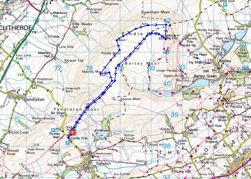
© Crown copyright. All rights reserved. License number PU 100034184.
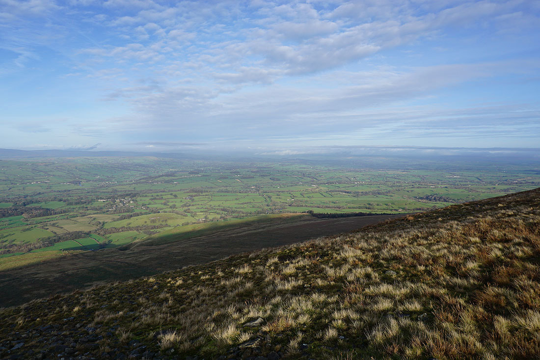
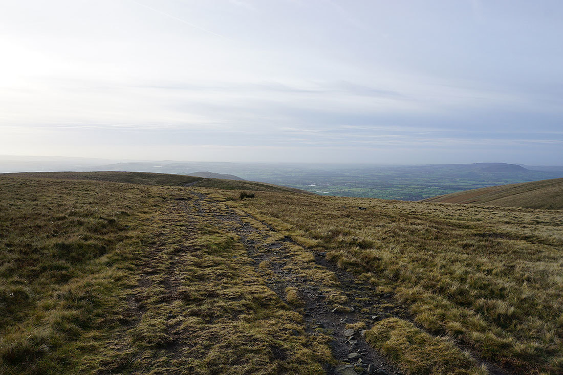
Blue skies ahead as I leave the Nick of Pendle for Pendleton Moor
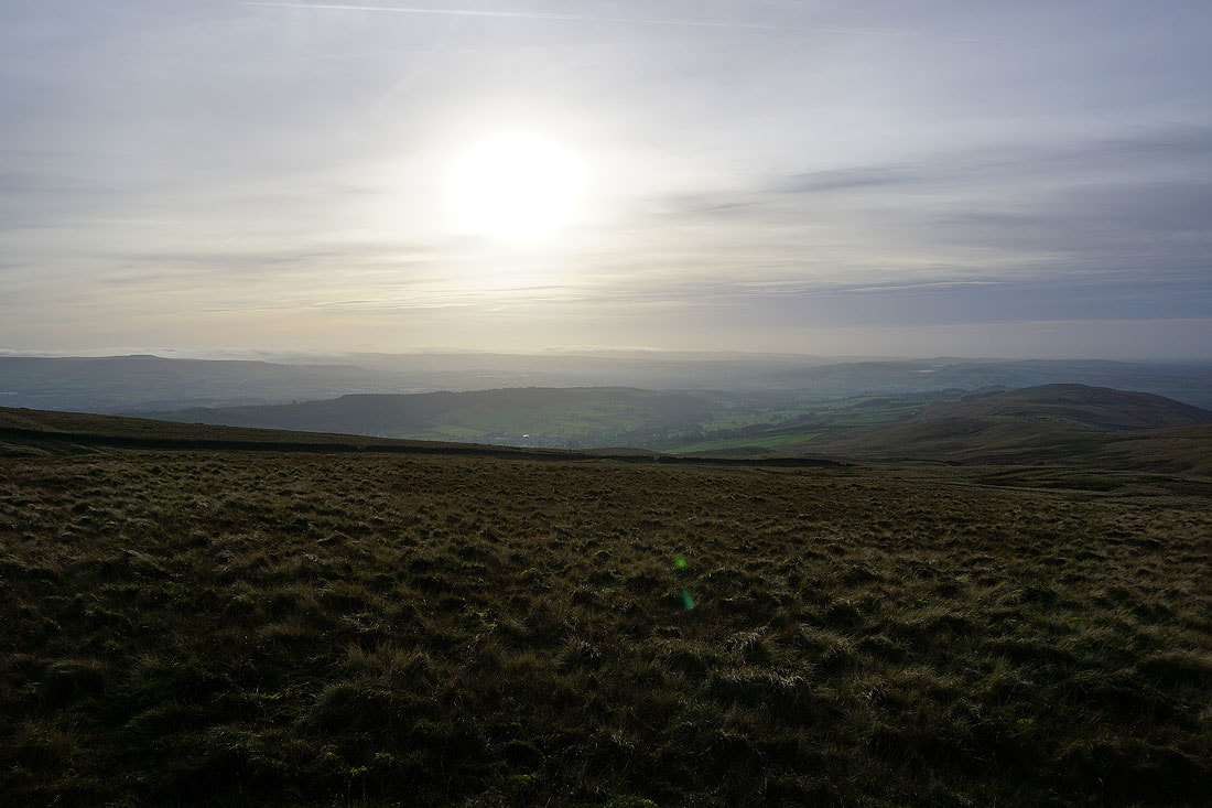
Lingering mist in the Ribble Valley
Fog on the hills of the West Pennine Moors to the south as I reach Mearley Moor
The fells of the Forest of Bowland from Mearley Moor
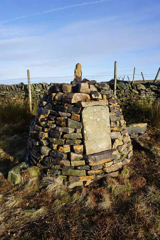
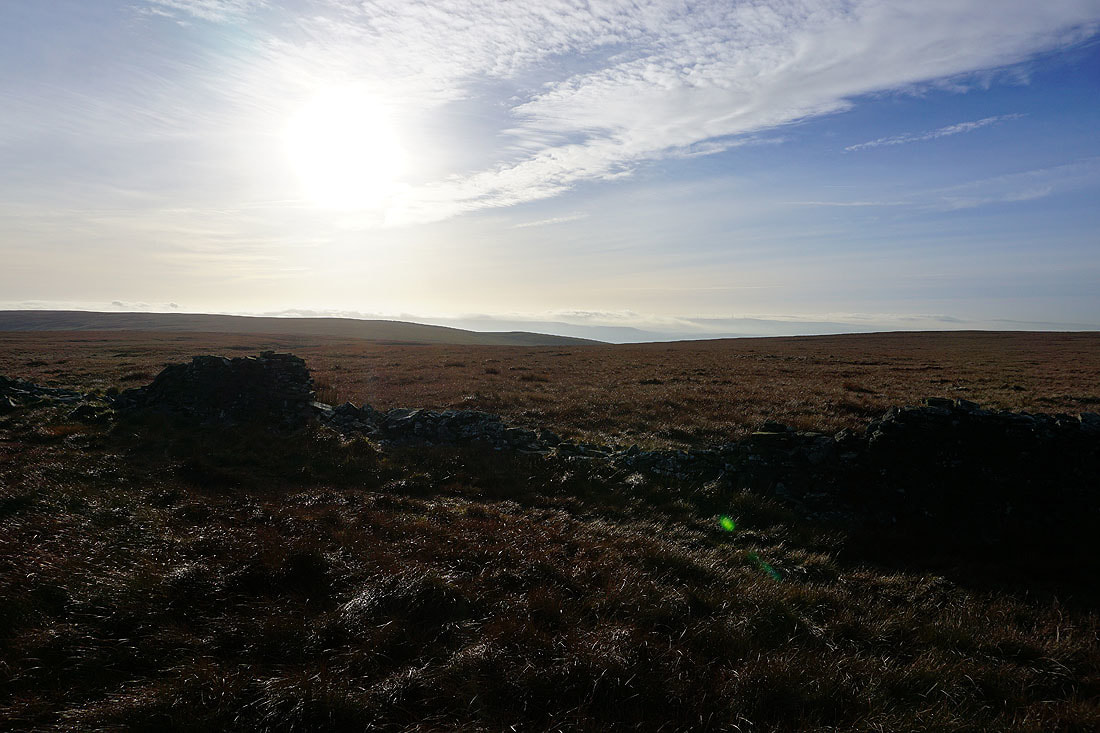
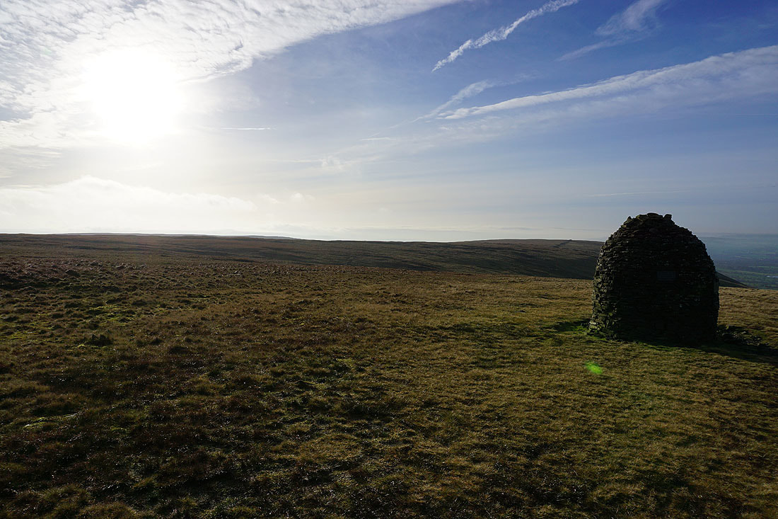
The Clayton Moors Harriers memorial cairn
The Ribble Valley to the west
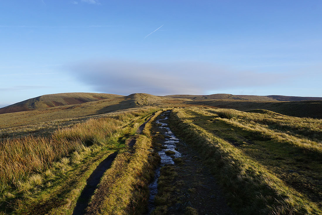
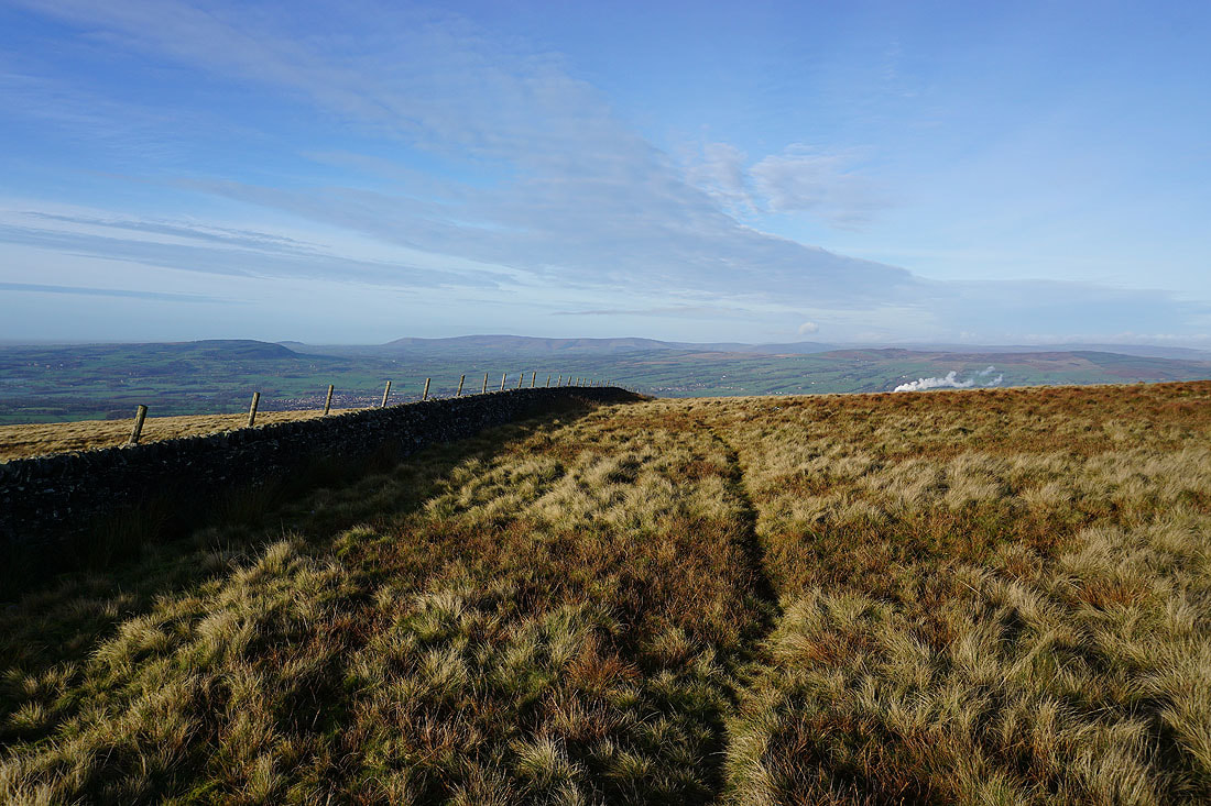
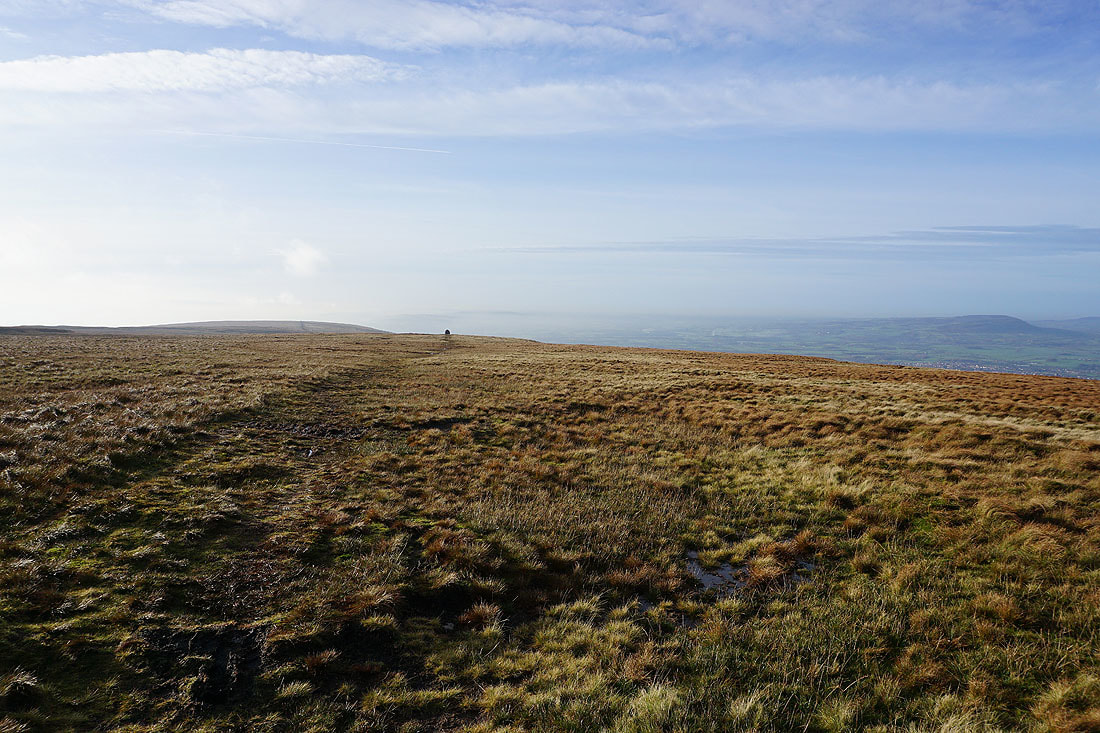
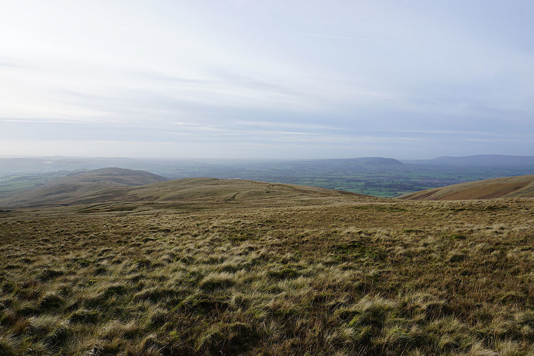
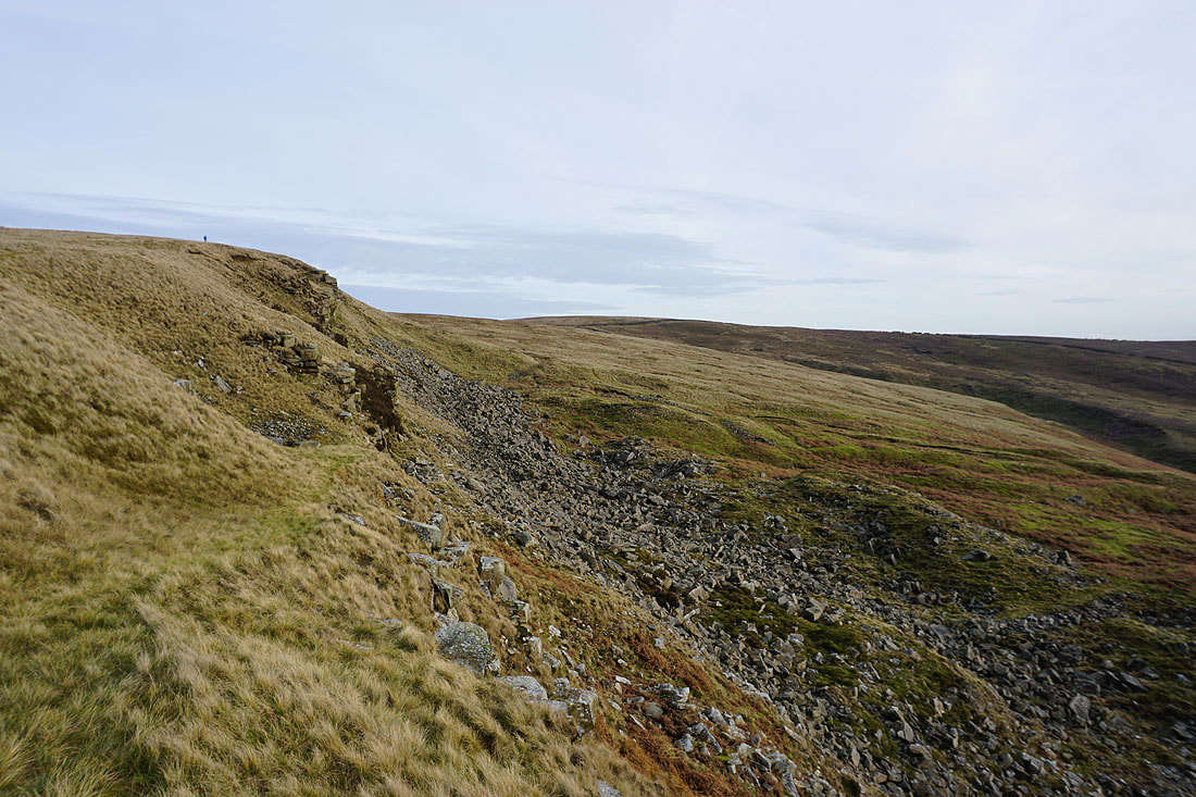
I can make out the Scout Cairn on Worston Moor on the left and the summit of Pendle Hill is on the right
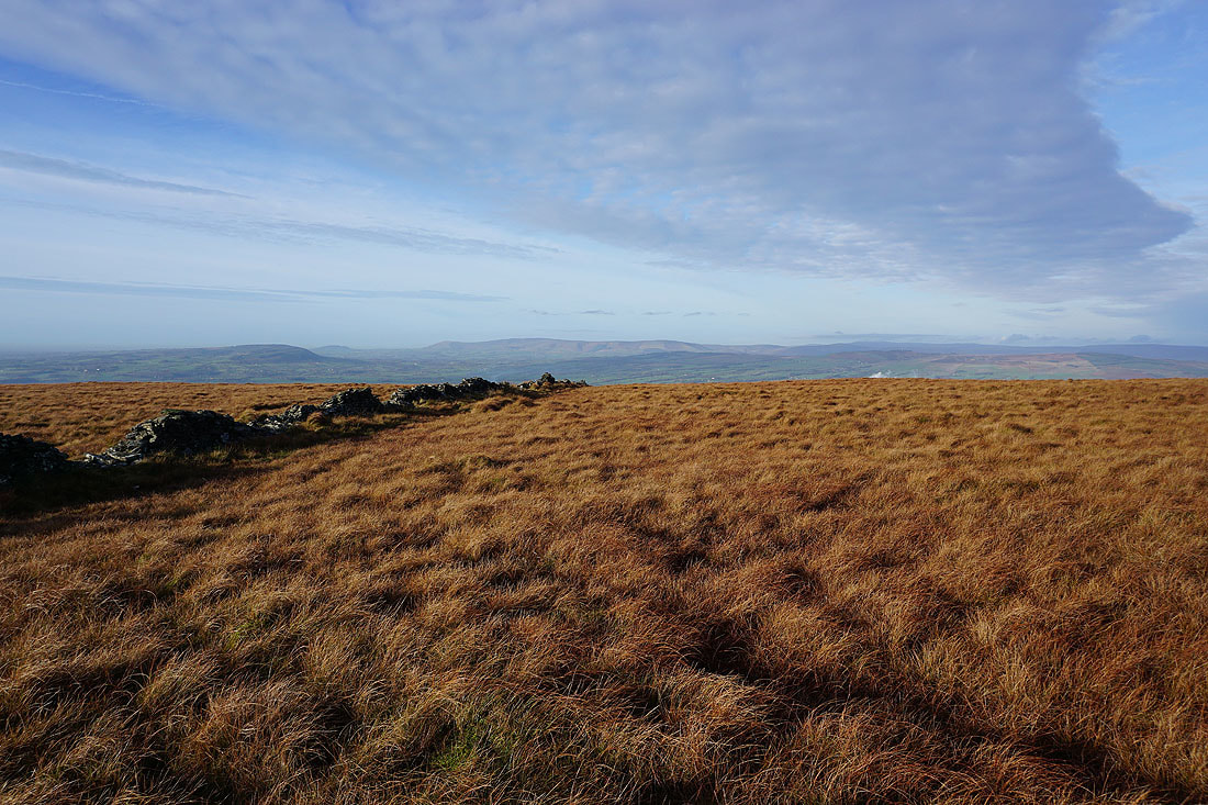
This wall running across the moor and the colours of the grass make for a great photo..
Looking back across Mearley Moor
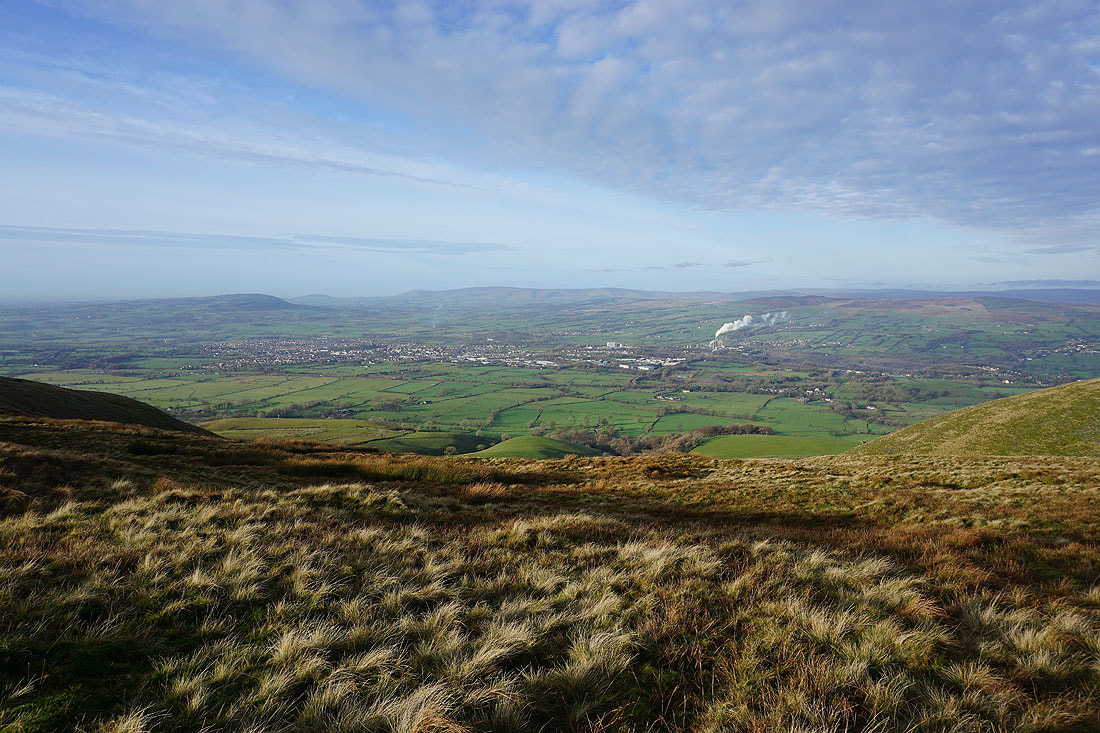
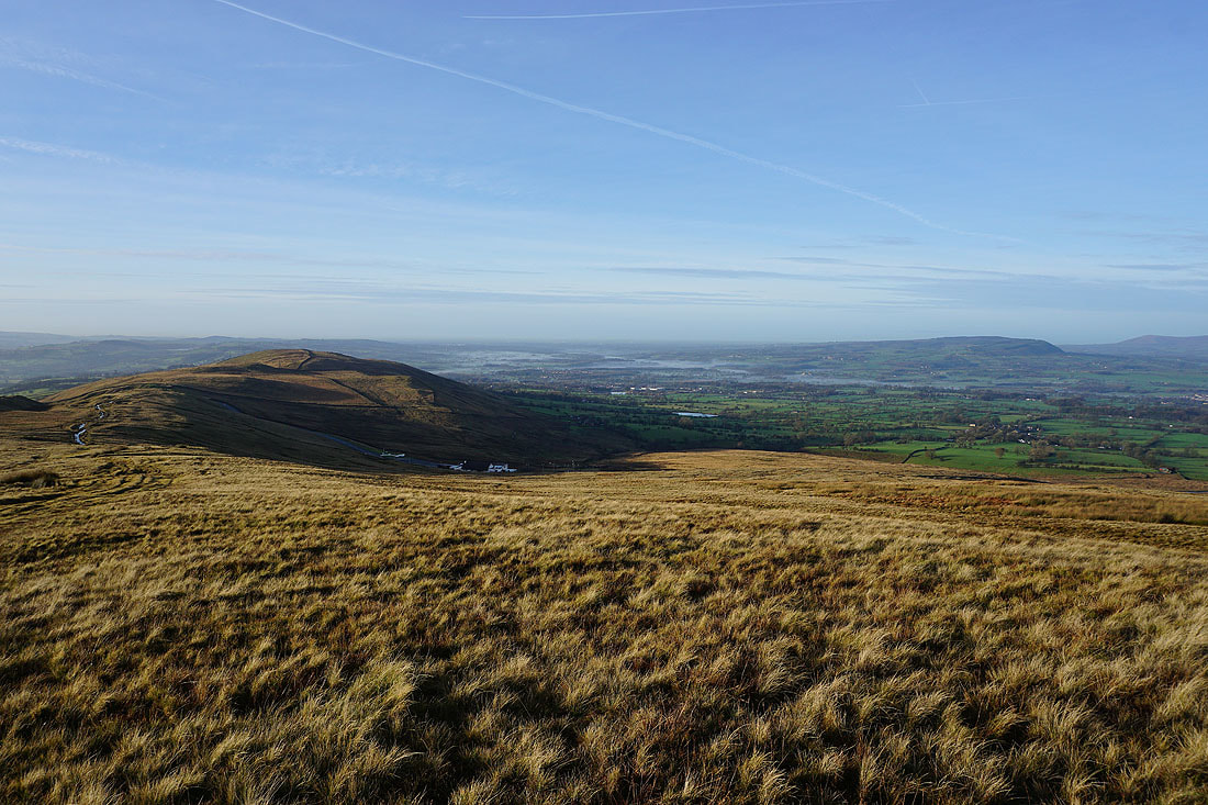
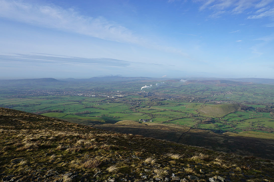
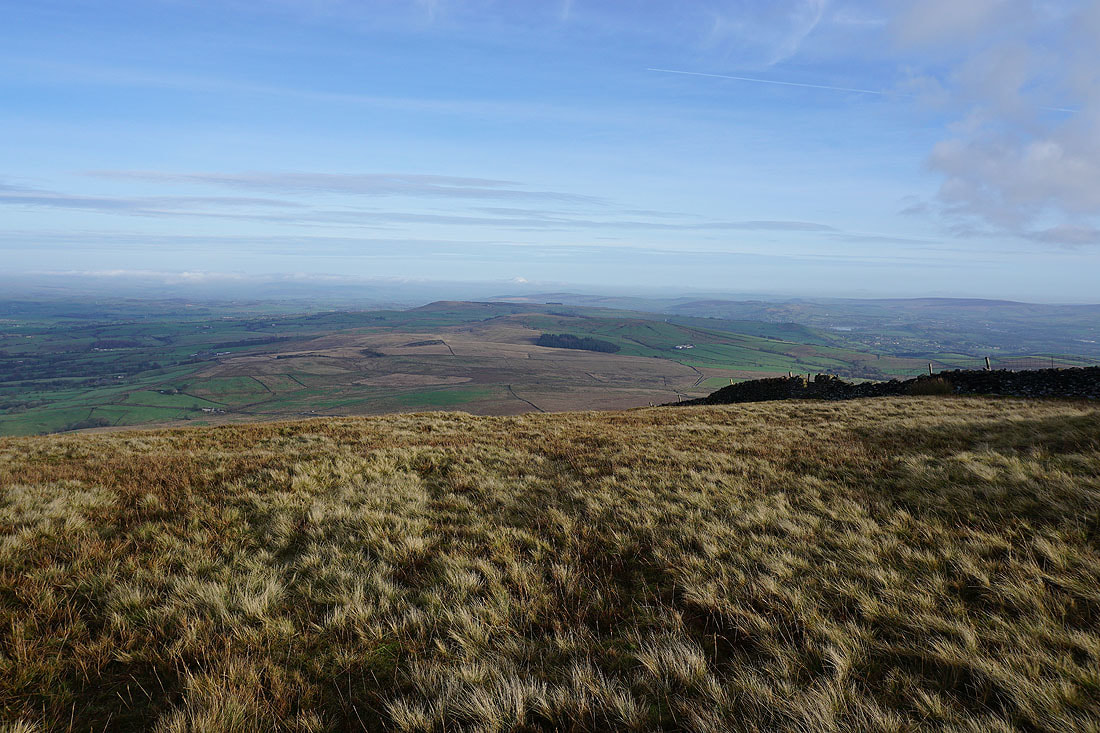
Clitheroe, the Ribble Valley, Longridge Fell, Parlick, Fair Snape Fell, Totridge and Easington Fell as I reach the top of Mearley Clough
Mearley Moor from the Scout Cairn
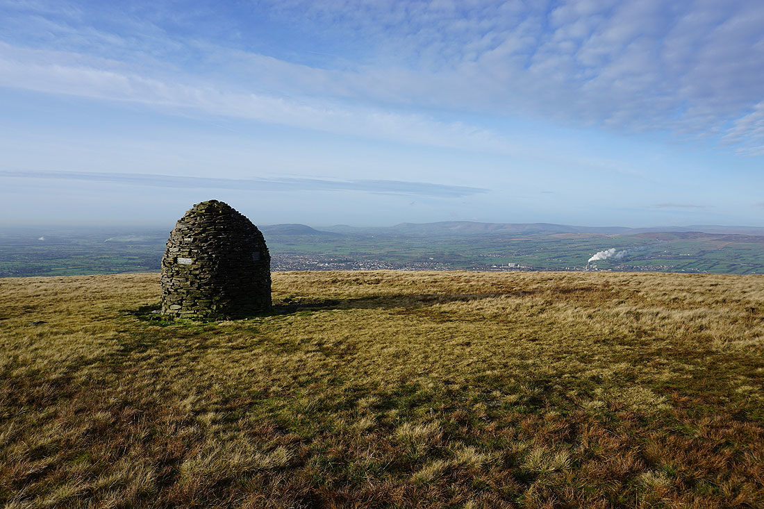
Clitheroe and the Forest of Bowland
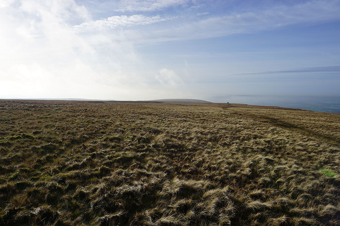
Patches of mist start to form as I head east across Worston Moor..
Looking up the Ribble Valley towards the Yorkshire Dales, which are hidden by low cloud
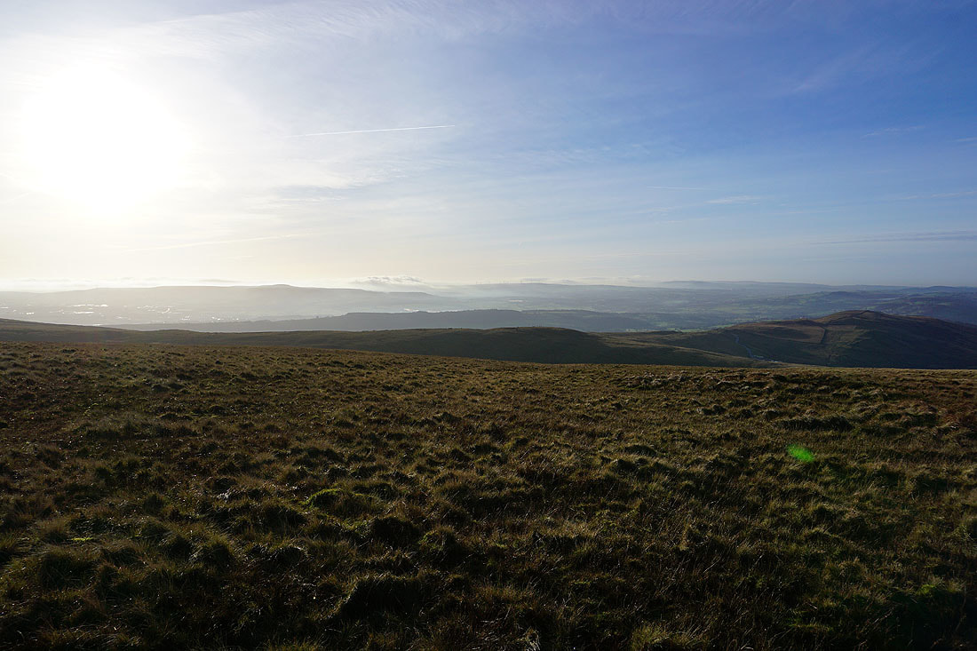
Clitheroe, the Ribble Valley and the Forest of Bowland from the high point on Worston Moor
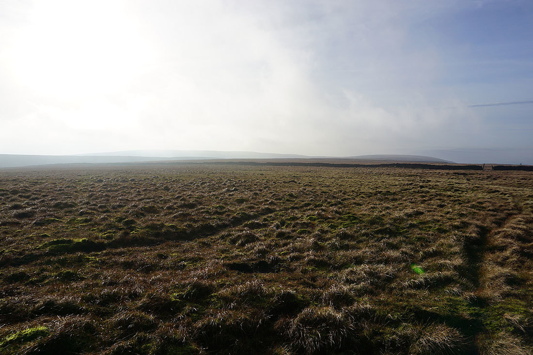
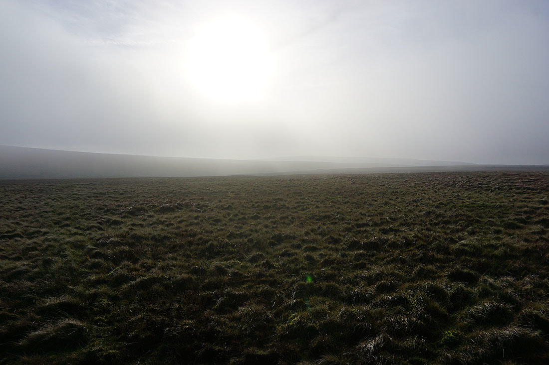
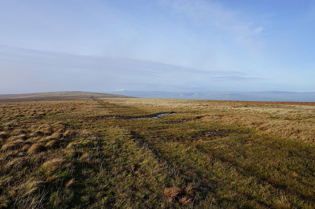
There's even more mist as I reach Downham Moor
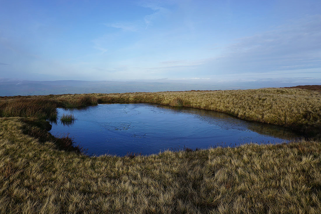
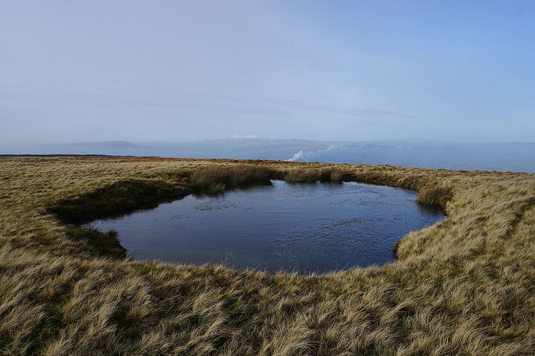
A couple of photos from a partially frozen pool on Downham Moor..
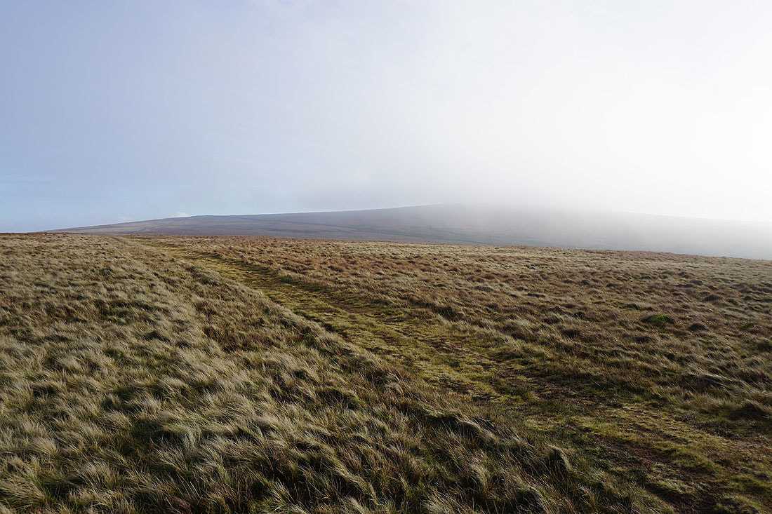
The summit disappears..
..and the rest of the hill isn't far behind. At this point I thought that the top of the hill was going to become covered in cloud.
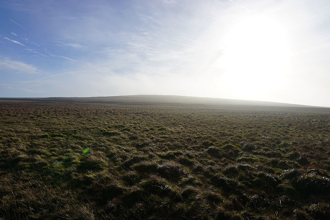
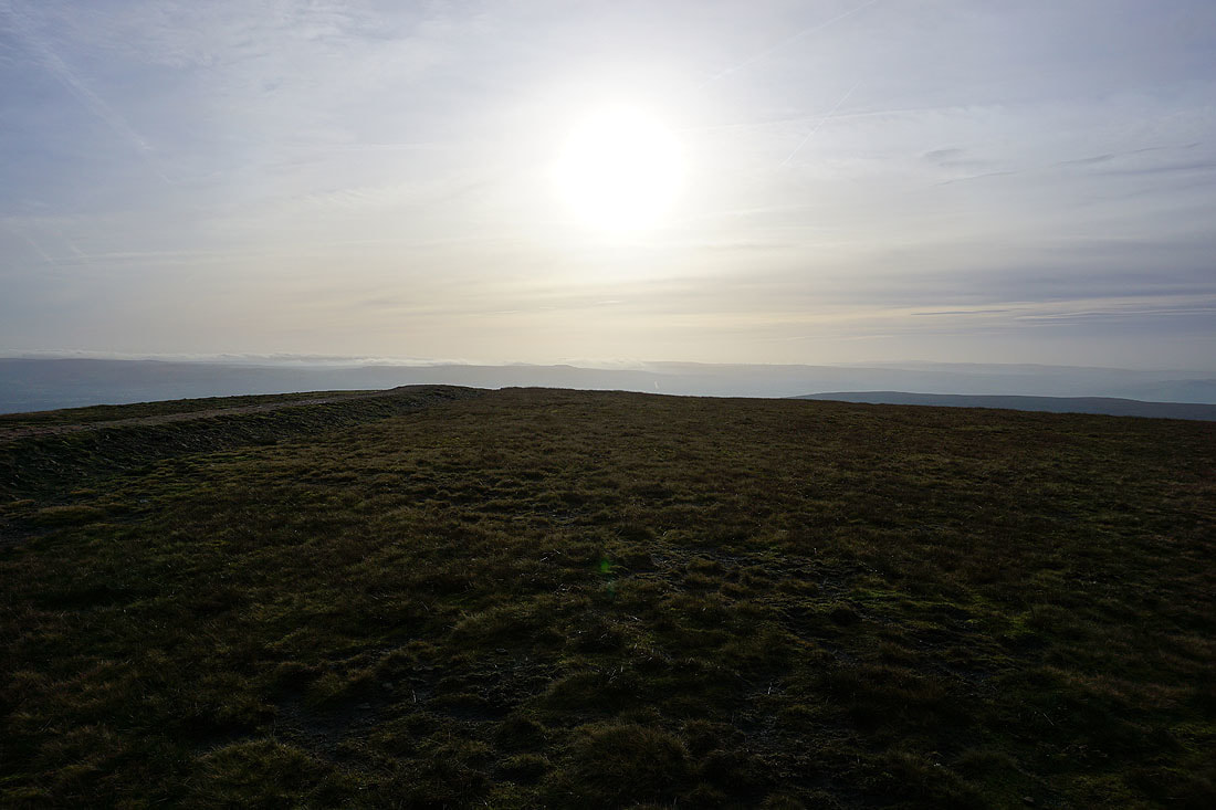
Just ten minutes later though and the fog start to clear
and I have a clear view looking back across Downham Moor
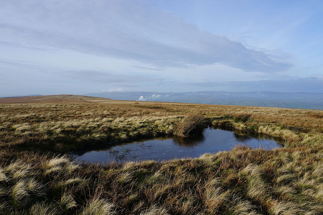
Icy pool and Downham Moor
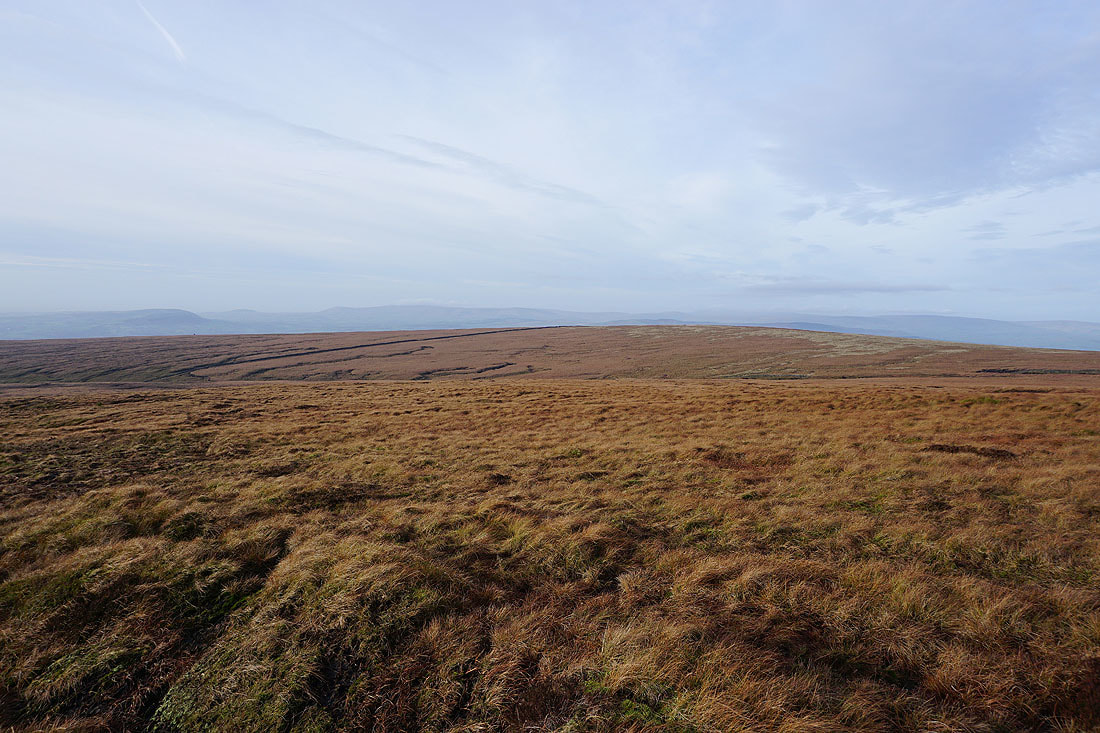
Twiston Moor and Weets Hill
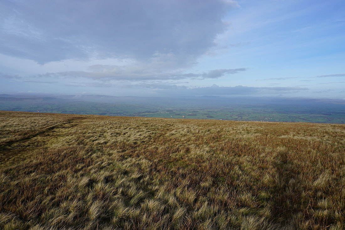
Looking up the Ribble Valley and the mist and low cloud have cleared enough for me to make out the distinctive outline of Ingleborough just to the right
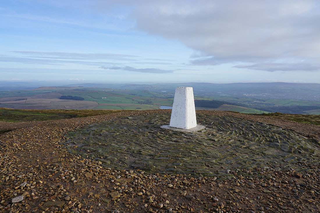
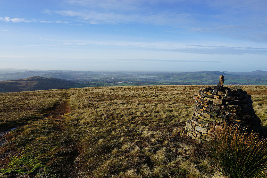
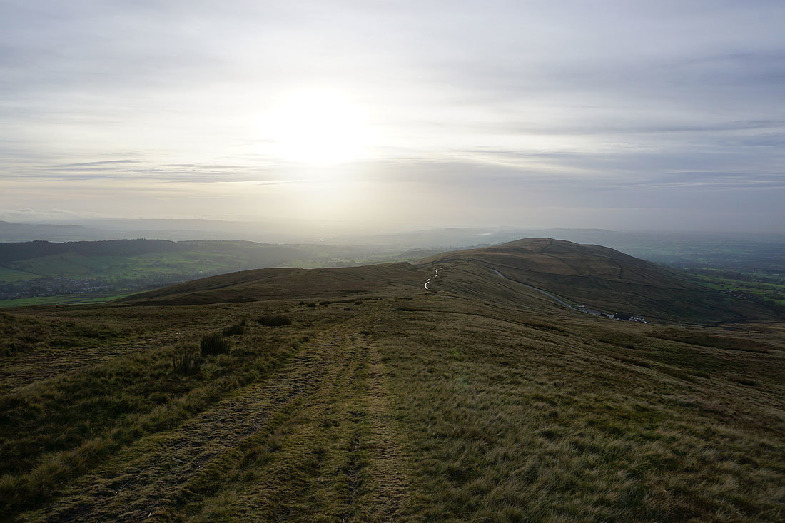
At the trig point on the summit of Pendle Hill
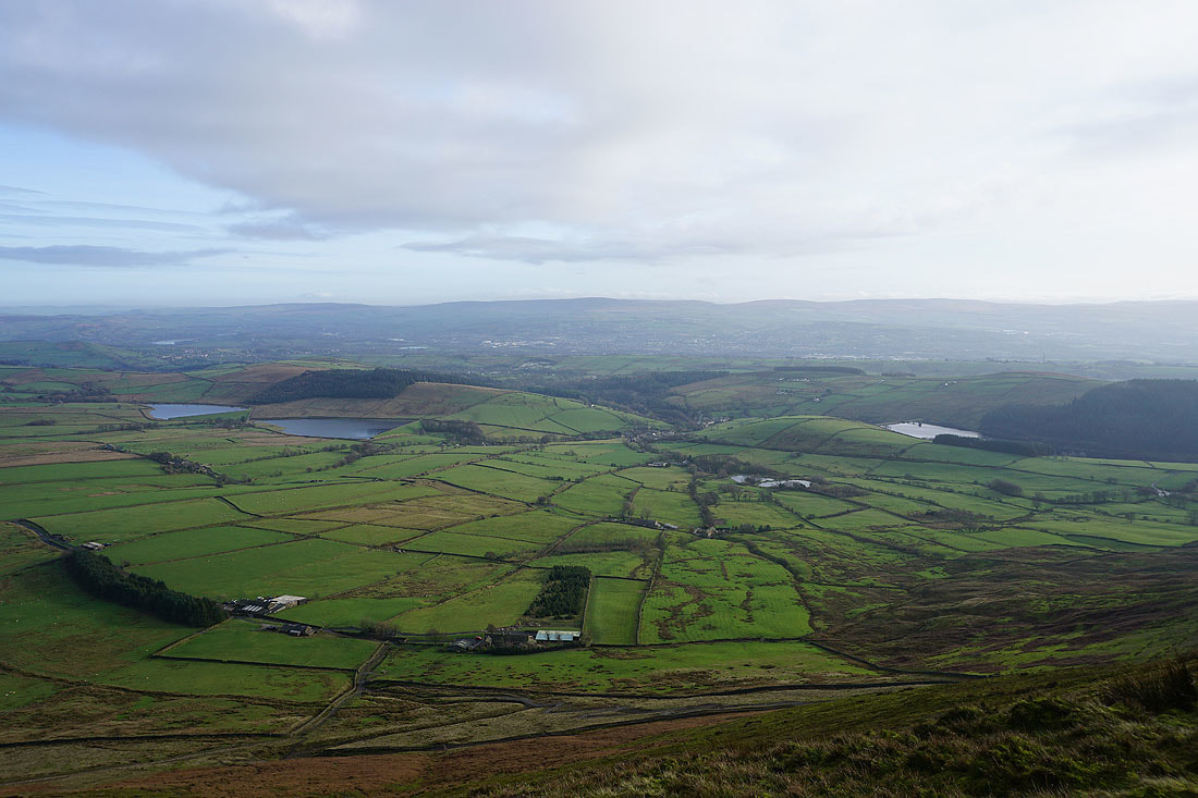
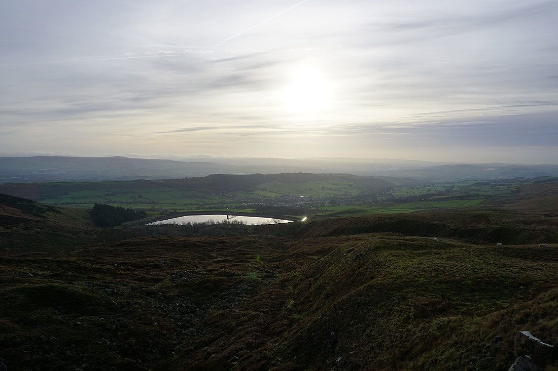
The Black Moss Reservoirs, Barley and Lower Ogden Reservoir below with Boulsworth Hill in the distance
There's cloud still covering some of the hills to the south
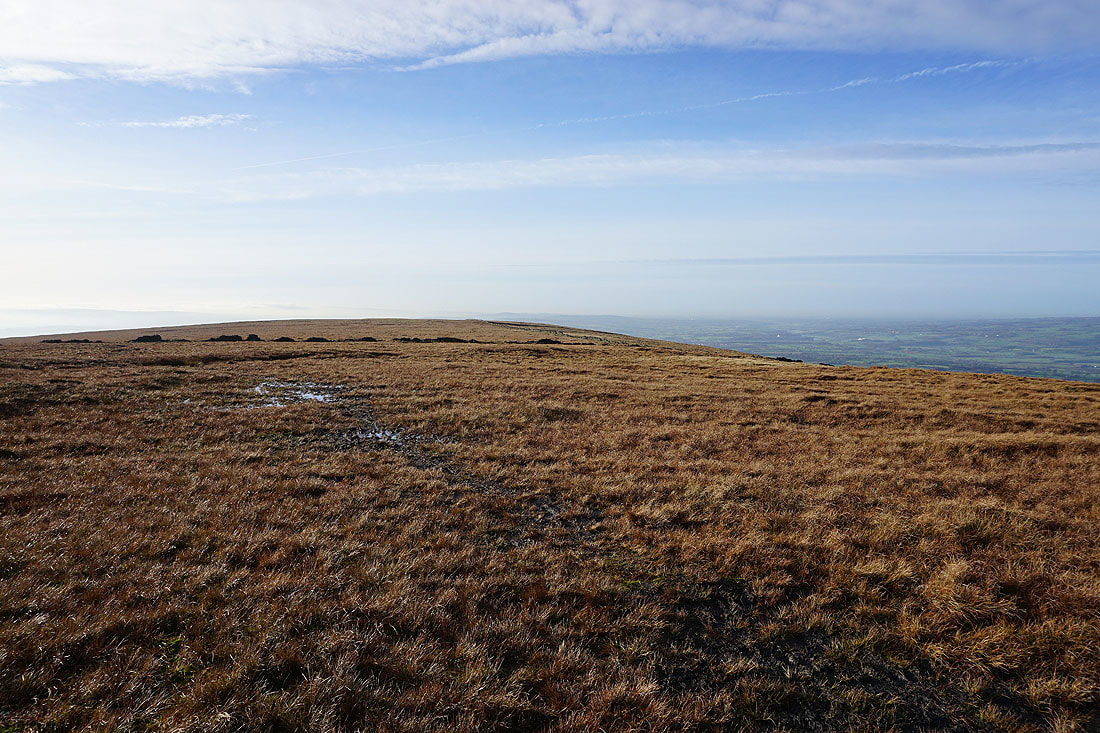
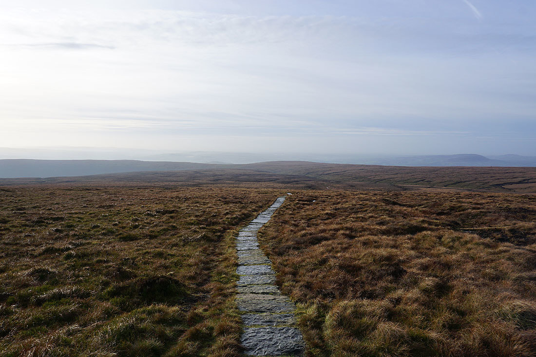
Great colours looking across the hill
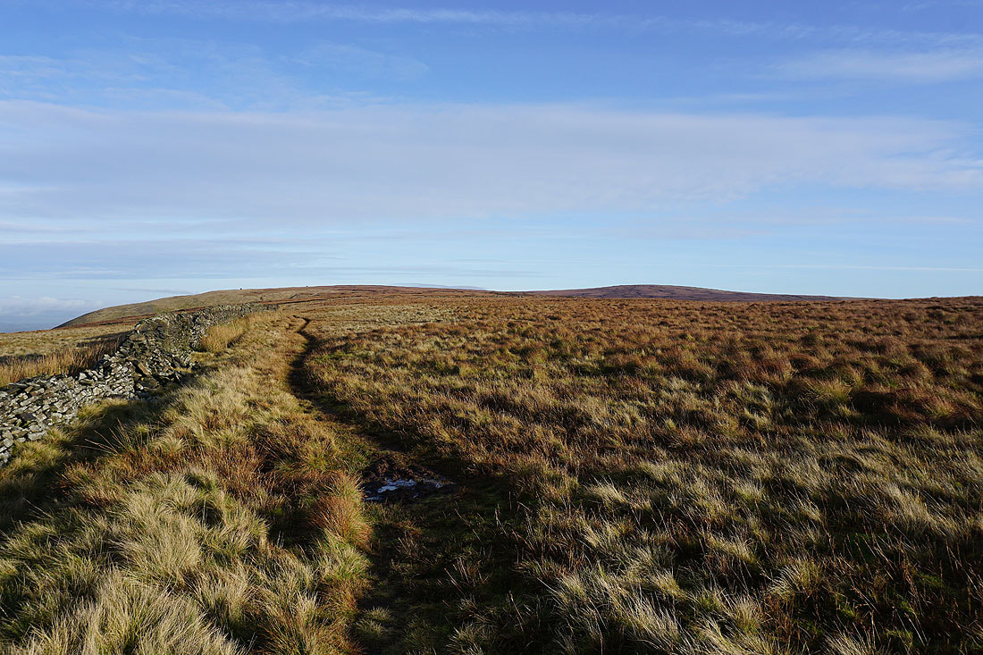
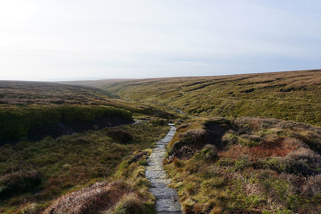
On the path to Ogden Clough
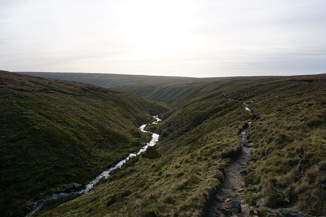
Making my way down Ogden Clough..
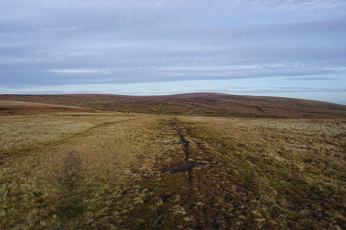
Looking back to the summit as I leave Ogden Clough..
..and head for Pendleton Moor
Very atmospheric with hazy sunshine and fog on the distant hills
Looking across Pendleton Moor to the Ribble Valley
Churn Clough Reservoir and Sabden from Deerstones
Deerstones
On Pendleton Moor to the Nick of Pendle
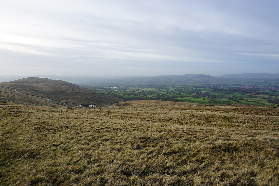
A last shot of the Ribble Valley