17th February 2008 - The Howgills
Walk Details
Distance walked: 6.3 miles
Total ascent: 2556 ft
OS map used: OL19 - Howgill Fells & Upper Eden Valley
Time taken: 5 hrs
Route description: Cross Keys, A683-Cautley Spout-Great Dummacks-Calders-The Calf-Bowderdale Head-Yarlside-Ben End-Cross Keys, A683
A great day in the Howgills with a temperature inversion.
From the roadside at the Cross Keys inn I crossed the River Rawthey to head for Cautley Spout. I climbed up the path by the waterfall and then along the top of Cautley Crag to the summit of Great Dummacks. Next stop was Calders and then The Calf. I then left The Calf by the path for Bowderdale to arrive at Bowderdale Head. I made an ascent of Yarlside and then I returned to the Cross Keys inn by Yarlside's south-east ridge.
Route map
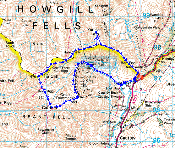
© Crown copyright. All rights reserved. License number PU 100034184.
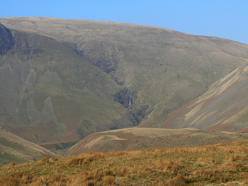
At the start of the walk and I can see Cautley Spout
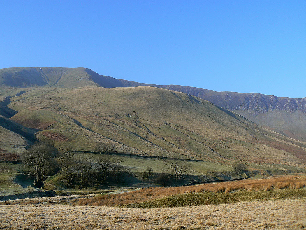
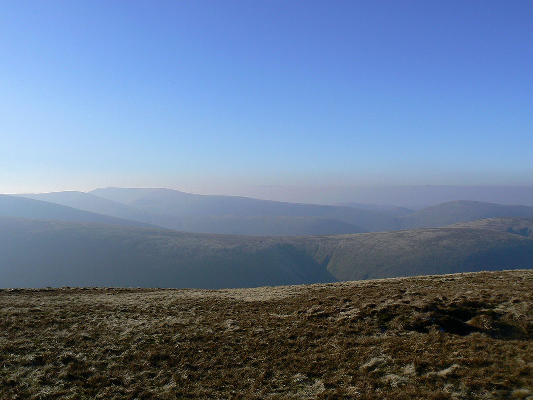
Cautley Crag
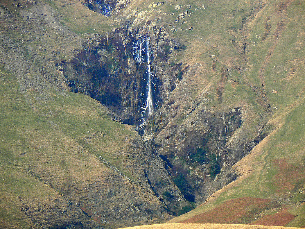
Zooming in on the main fall
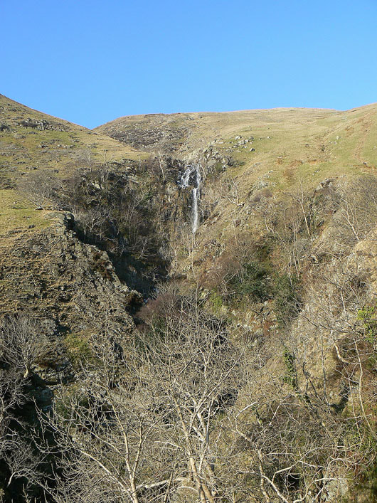
Making my way up by Cautley Spout
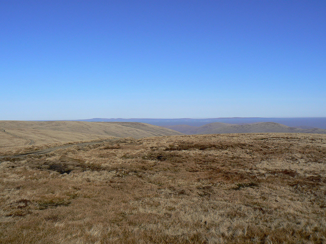
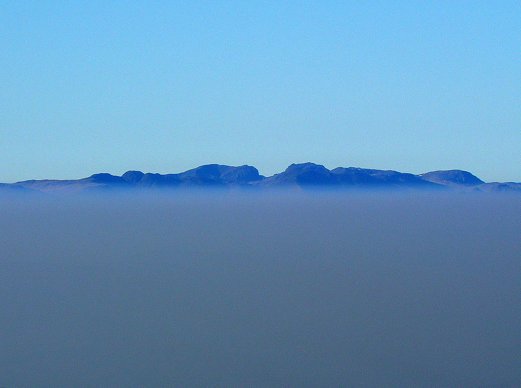
At the top of the climb and on the edge of Cautley Crag. I'm above the mist and haze, the tops of Wild Boar Fell and Swarth Fell are as well.
Yarlside, the last top of the day
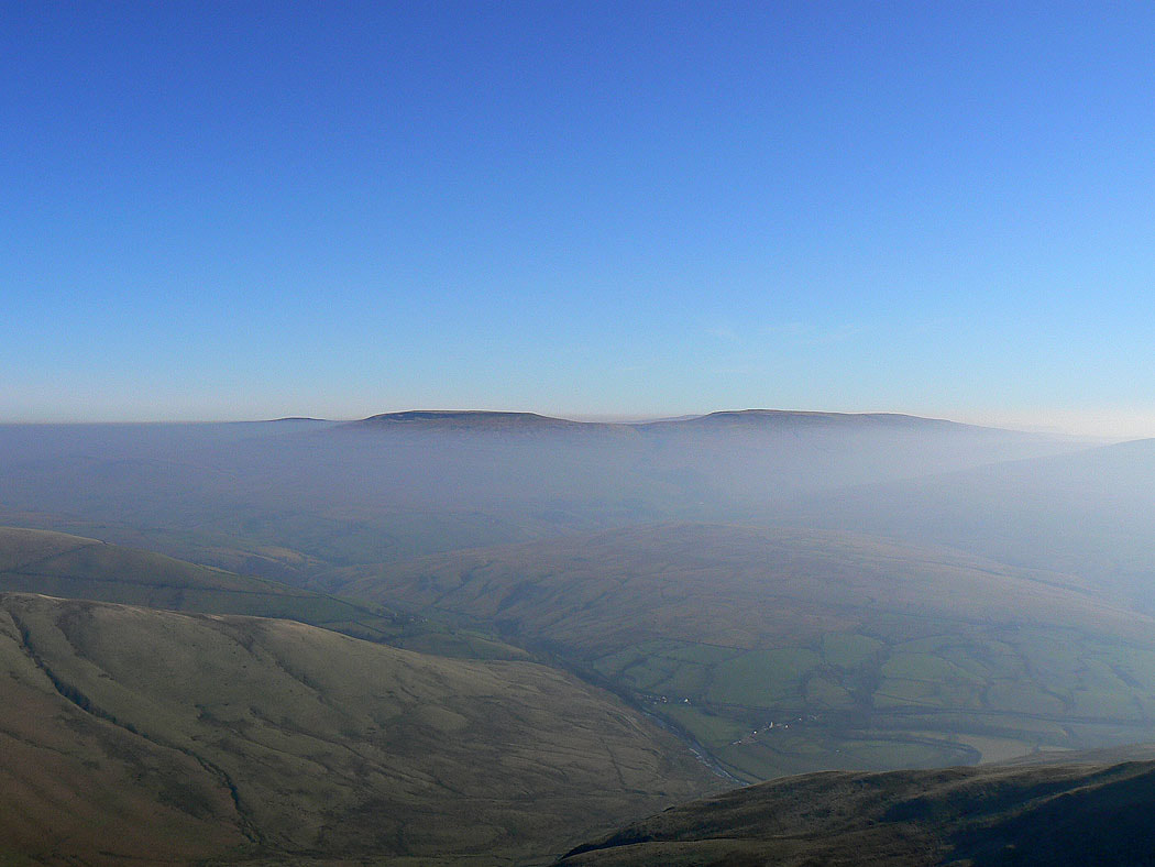
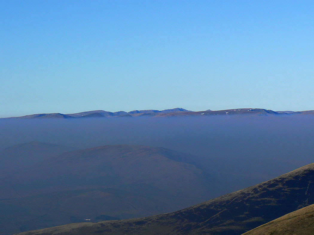
Wild Boar Fell and Swarth Fell from Great Dummacks
Cross Fell, Little Dun Fell and Great Dun Fell in the North Pennines
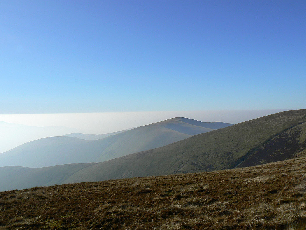
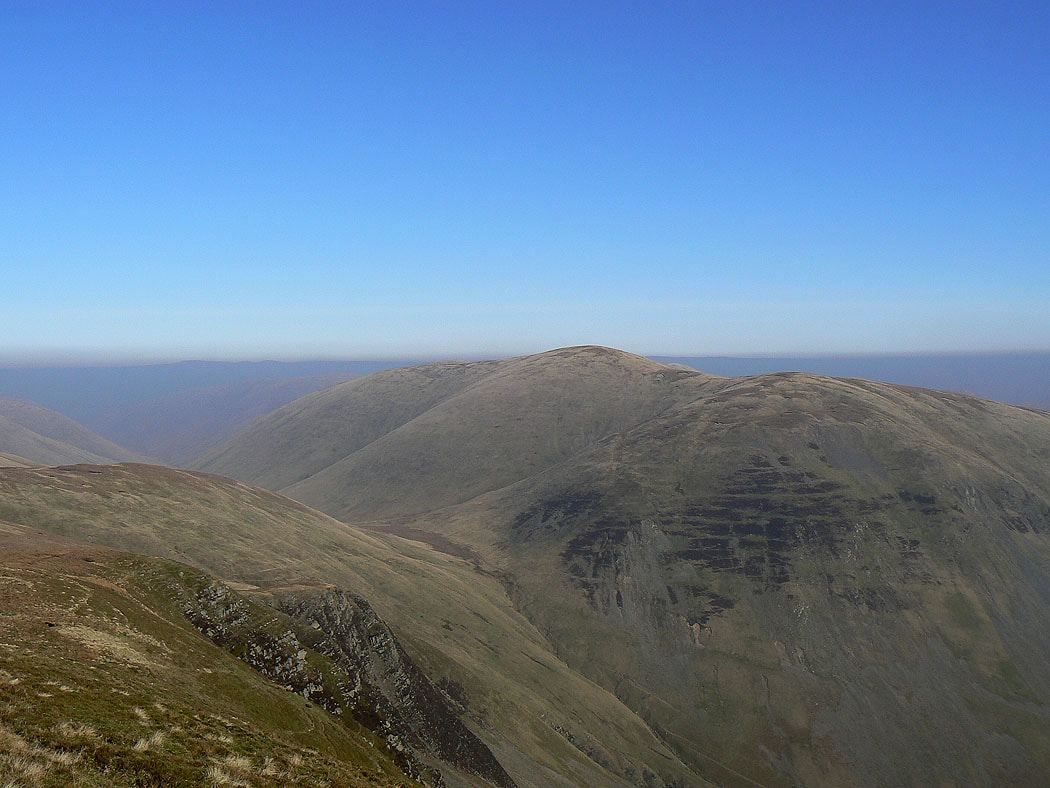
Arant Haw
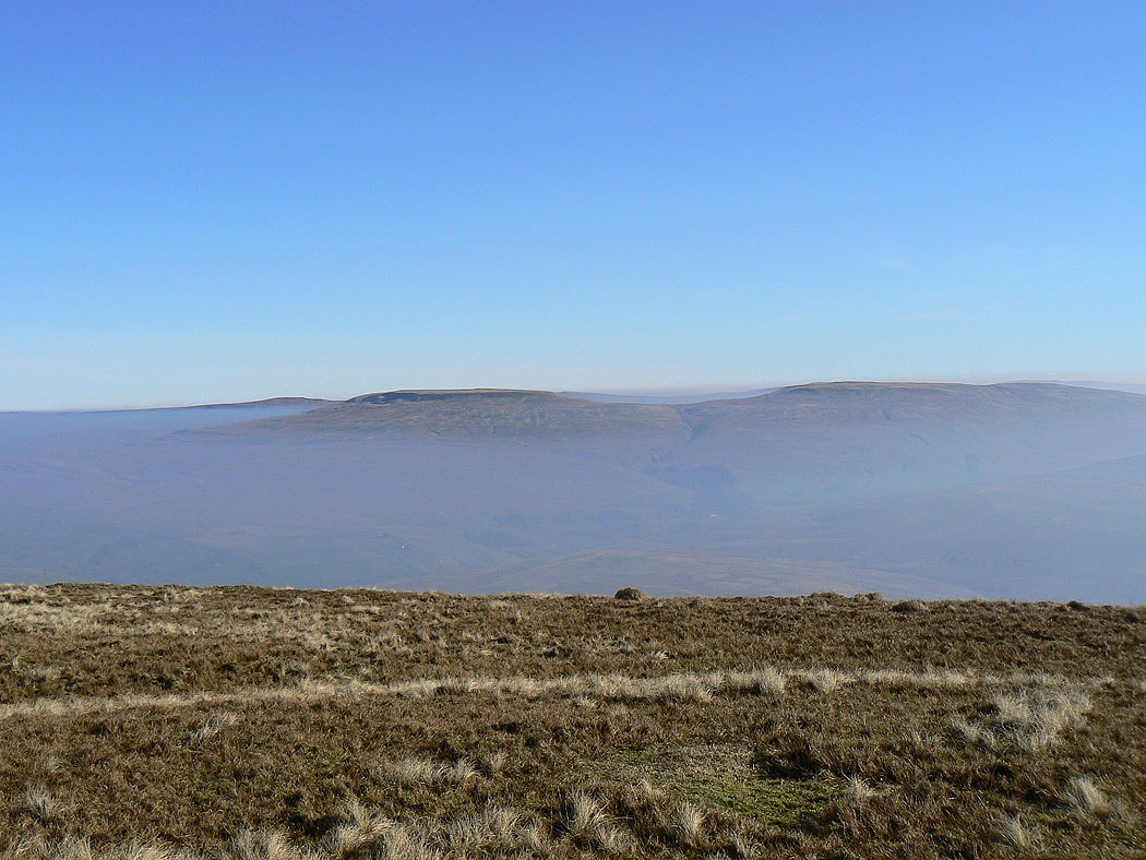
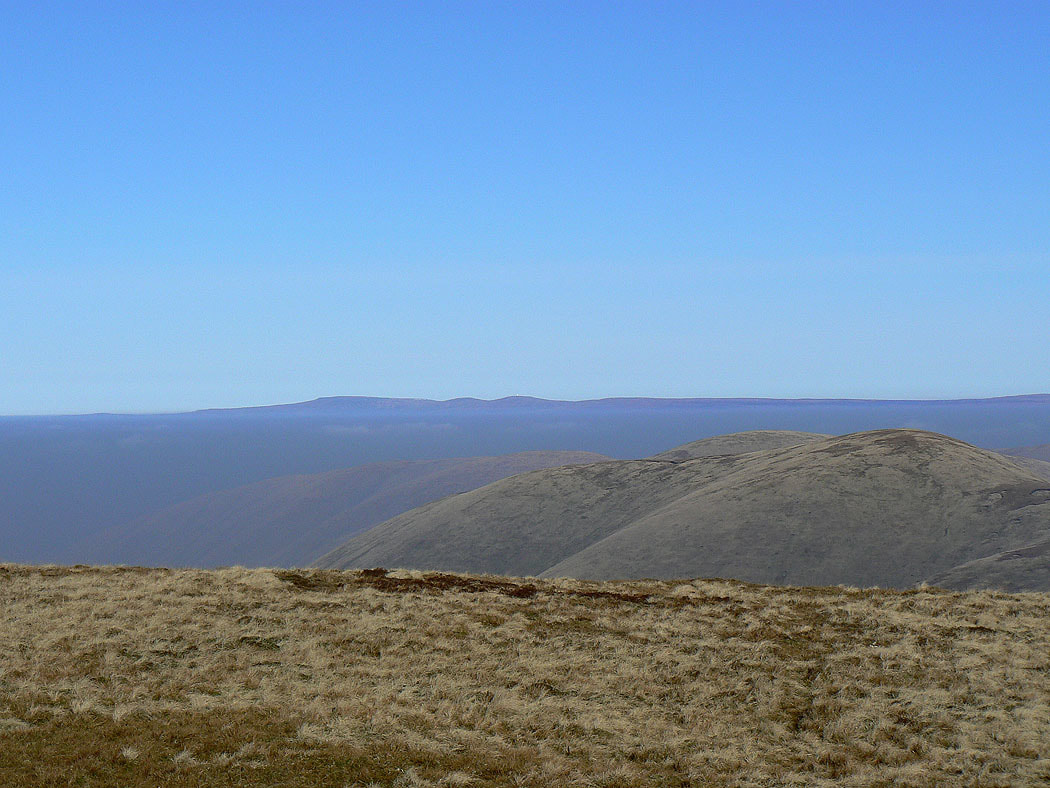
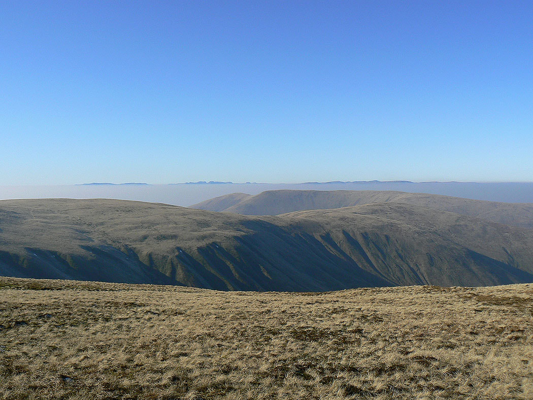
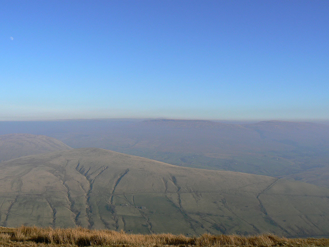
Whernside, Ingleborough, Great Coum and Middleton Fell
On the summit of Calders looking south to Penyghent, Whernside, Ingleborough, Great Coum and Middleton Fell
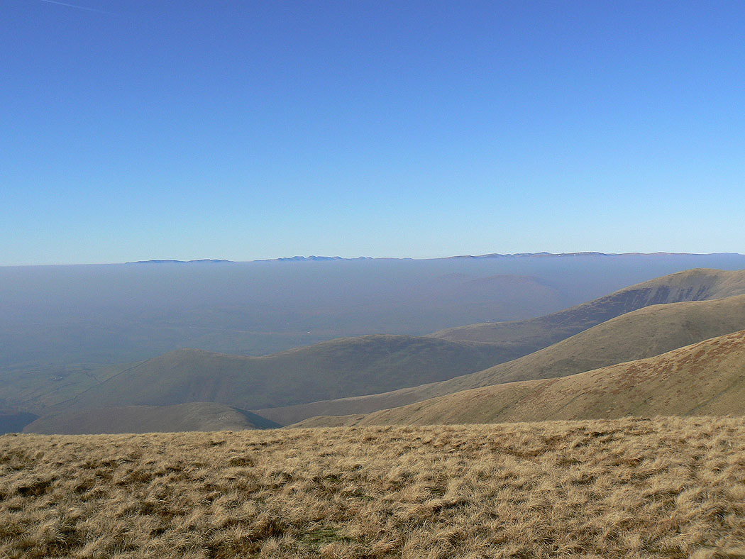
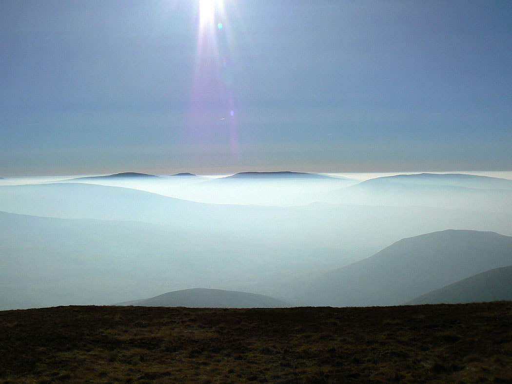
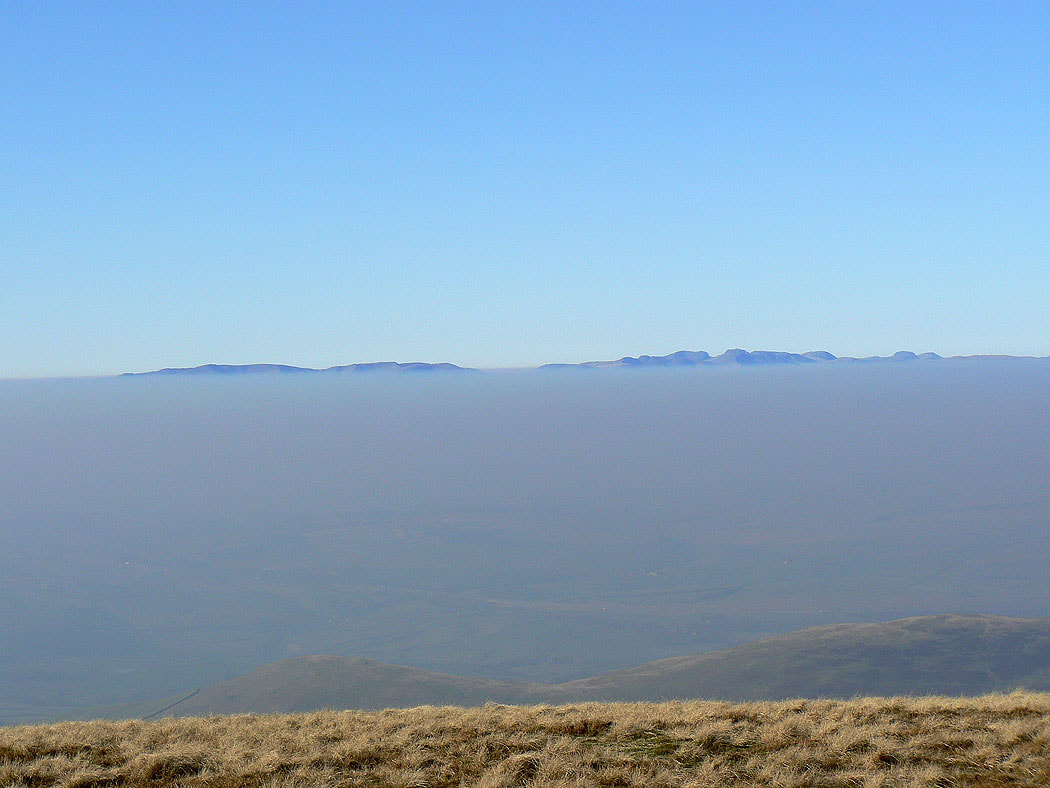
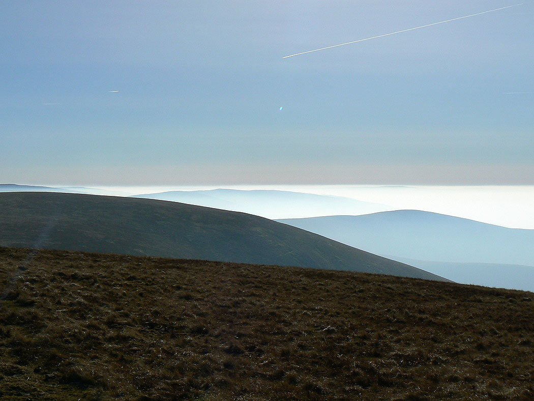
The tops of the Lake District fells above the haze
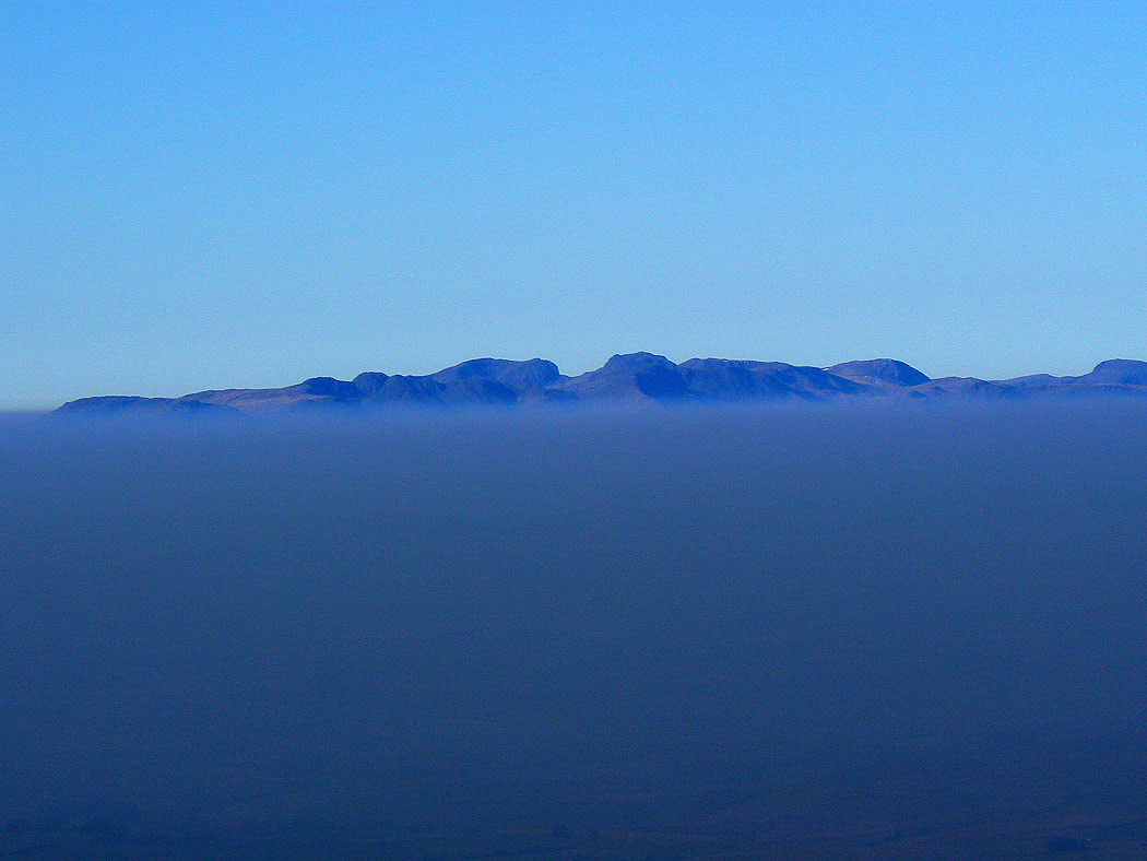
Crinkle Crags, Scafell, Scafell Pike and Great End
Fairfield, Helvellyn and High Street
Looking back to Great Dummacks with Wild Boar Fell and Swarth Fell behind
Cross Fell and the North Pennines in the far distance
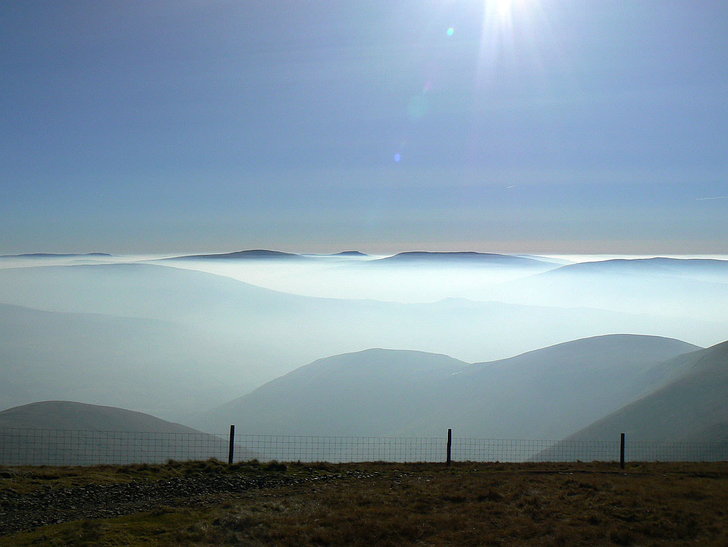
The Coniston fells, Crinkle Crags, Scafell, Scafell Pike, Great End, Great Gable and Pillar
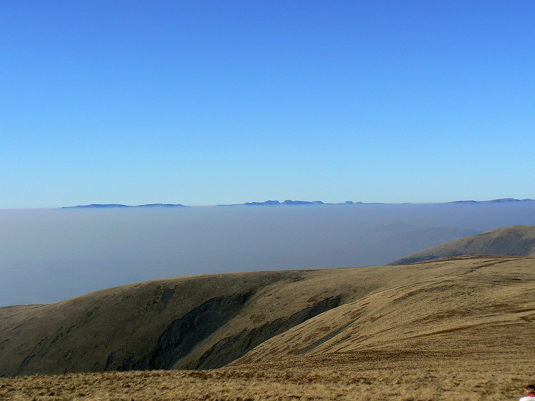
and the same summits but from the high point of the walk, The Calf. There wasn't a breath of wind and it felt warm enough to be in just a T-shirt.
Cross Fell, Little and Great Dun Fells in the distance
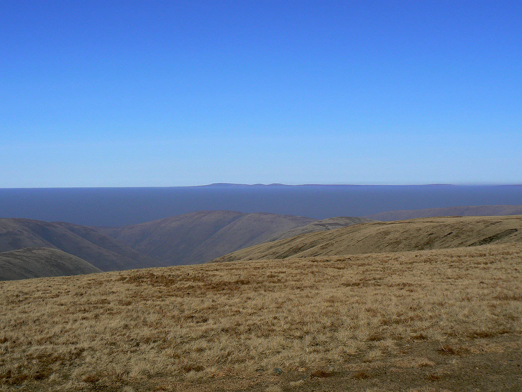
Fairfield, Helvellyn and High Street beyond Fell Head
Looking south to Middleton Fell
Zooming in across the haze to Crinkle Crags, Scafell, Scafell Pike and Great End
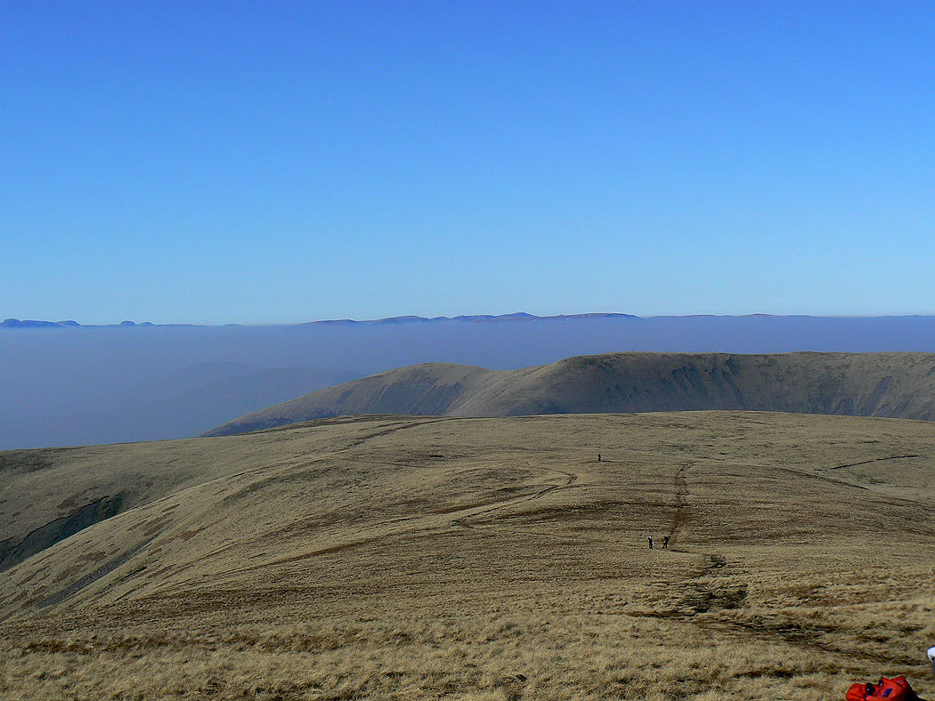
I've left The Calf and I'm heading Bowderdale Head. Lakeland fells on the horizon beyond White Fell Head and Fell Head.
On the final top of the day, Yarlside. It's at the top of the haze. Wandale Hill is below.
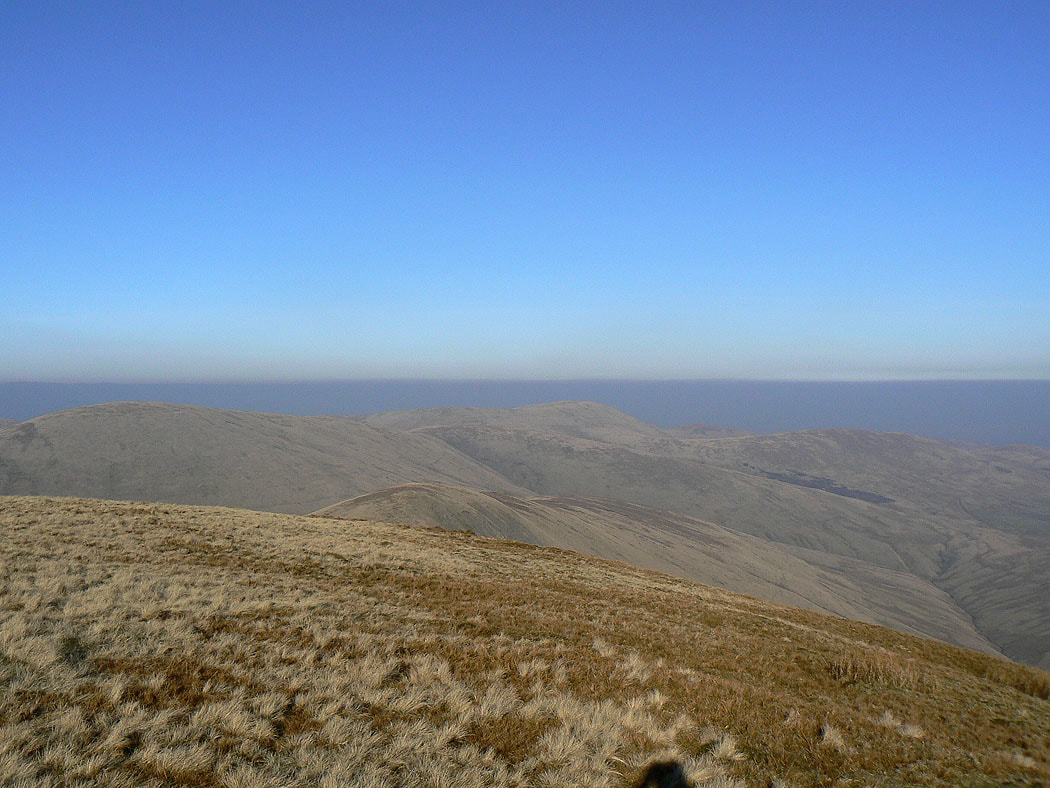
Randygill Top and Green Bell
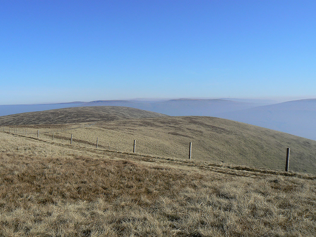
A last shot across the northern Howgills