17th February 2013 - Great Whernside
Walk Details
Distance walked: 9.1 miles
Total ascent: 2005 ft
OS map used: OL30 - Yorkshire Dales, Northern & Central areas
Time taken: 6 hrs
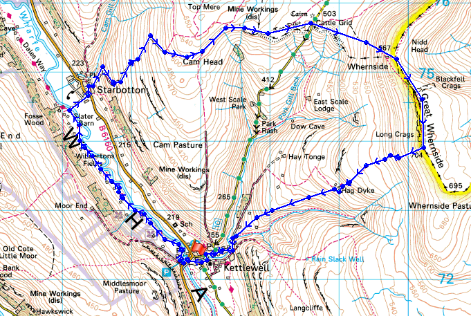
Route description: Kettlewell-Dales Way-Starbotton-Starbotton Cam Road-Starbotton Road-Little Hunters Sleets-Blackfell Top-Great Whernside-Hag Dyke-Kettlewell
It's been a couple of years since my last visit to Great Whernside so I thought today was a good a time as any to make its reacquaintance. I like rocky summits and there aren't that many in the Dales to choose from but I got to visit one today plus the remains of the snow from a few days ago made this a great walk.
After leaving the car park in Kettlewell I followed the Dales Way up the valley to Starbotton. From Starbotton I made my way up and across the fellside on the tracks of Starbotton Cam Road and Starbotton Road to reach the road from Kettlewell over to Coverdale. I crossed the road and climbed Great Whernside. It was then straight down to Kettlewell passing the hostel of Hag Dyke on the way.
Route map
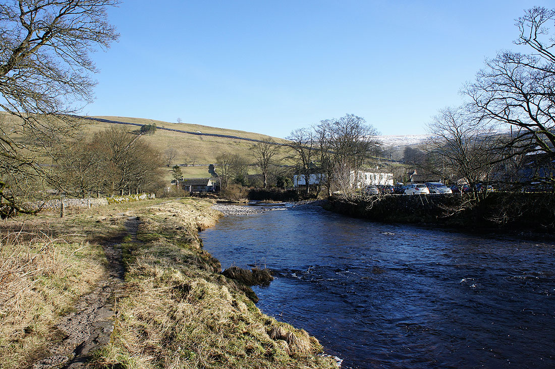
After parking in Kettlewell I'm going to follow the Dales Way up Wharfedale to Starbotton
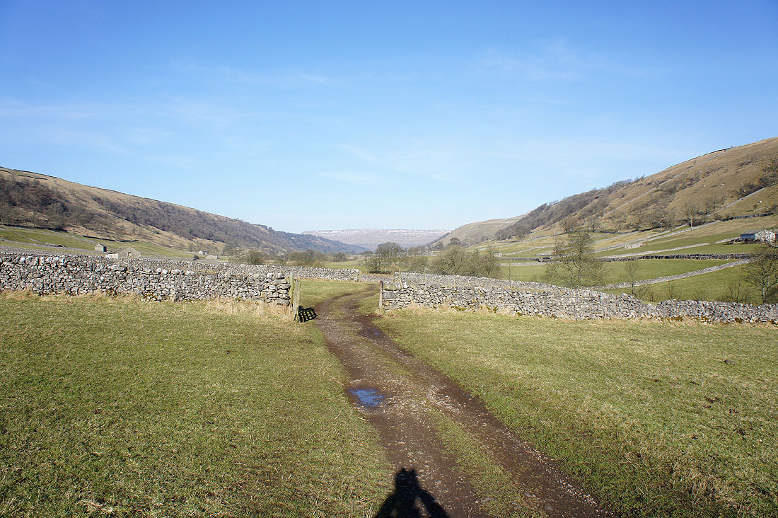
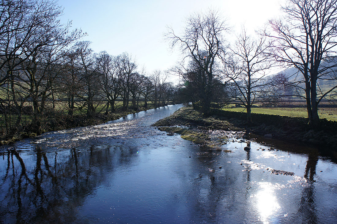
On the Dales Way
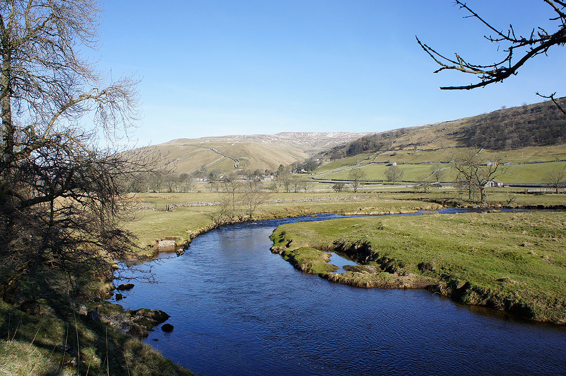
Starbotton comes into view across a bend in the river
Crossing the Wharfe to Starbotton
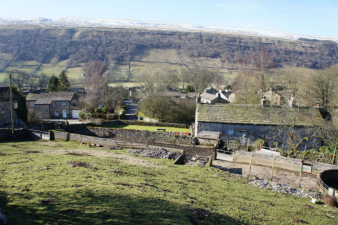
Starbotton as I start to climb uphill on the track of Starbotton Cam Road
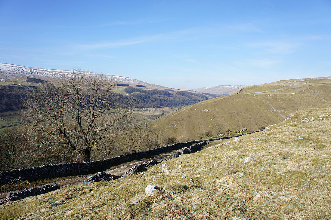
A little higher and there's a wider view of Wharfedale
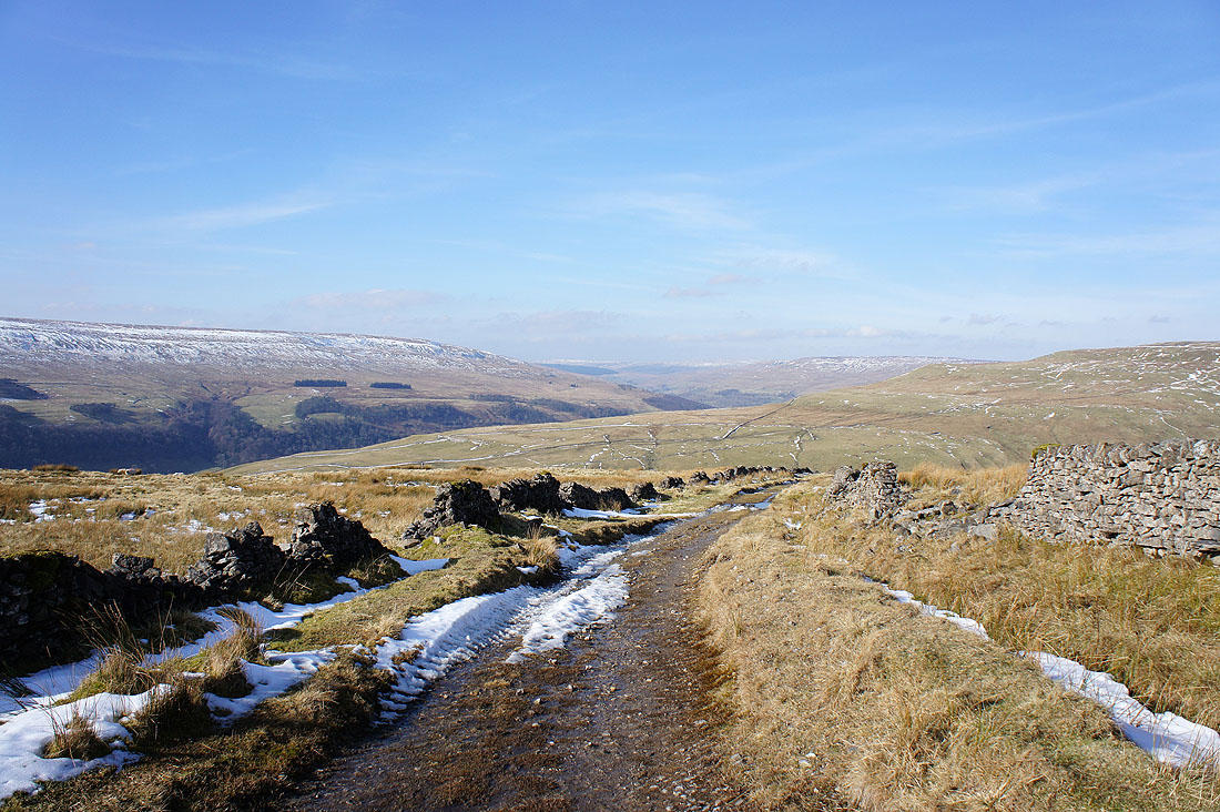
A last shot up Wharfedale from Starbotton Cam Road. Birks Fell is on the left with the slopes of Buckden Pike on the right.
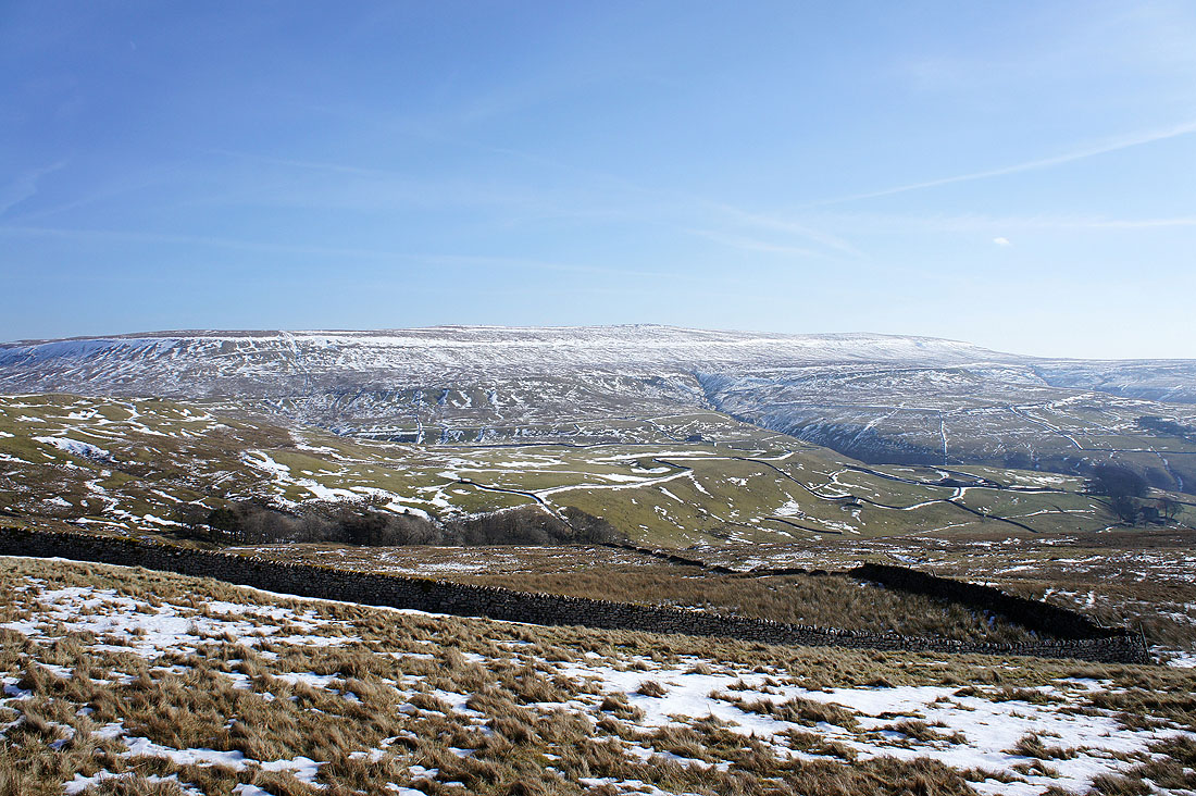
My first view of the day of Great Whernside from the track of Starbotton Road. I'll follow this to reach the road from Kettlewell over to Coverdale.
Heading for Great Whernside. Snow didn't get in the way very often today but it looked like there would have been some serious drifts to negotiate a few days ago.
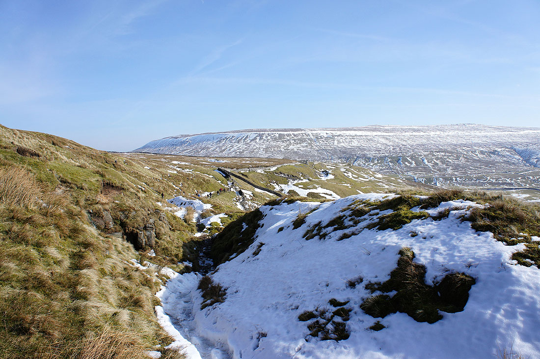
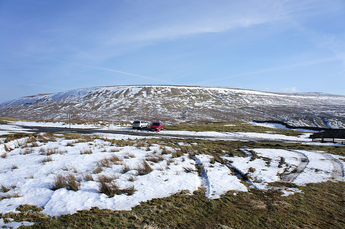
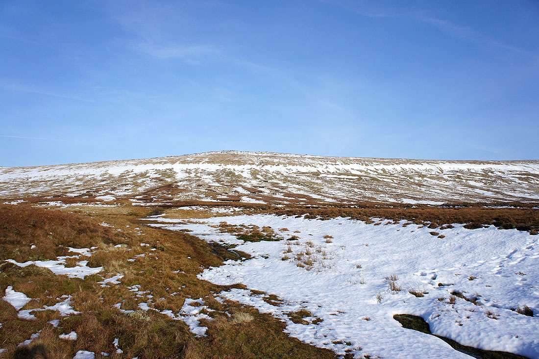
Finally it's time to tackle the climb to the summit. I was a little concerned about the unbroken band of snow below the summit but the people I passed who had made their way down through it assured me that it wouldn't be a problem. In the end it was the boggy ground that had to be crossed that was tricky.
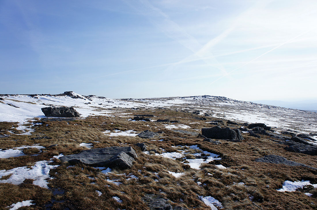
At the top of the climb and the summit comes into view. I'm going to head for the rocks of Blackfell Top on the left first.
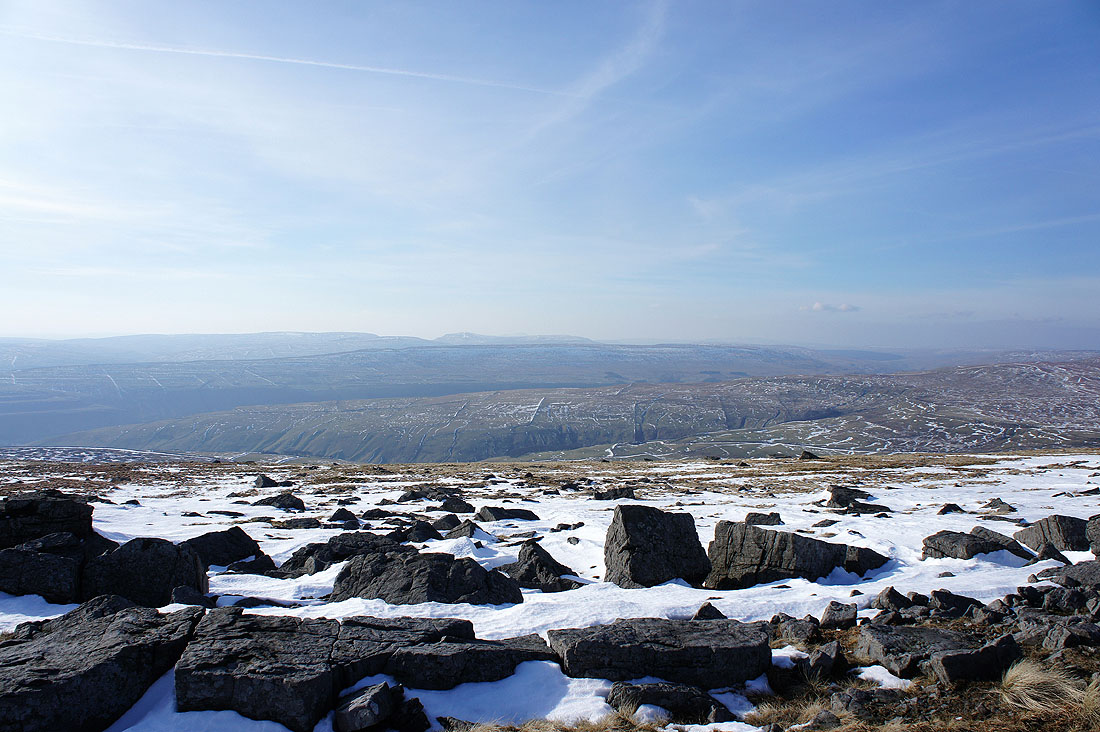
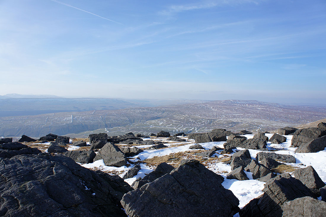
A hazy view from Blackfell Top across to Fountains Fell, Penyghent, Plover Hill and Firth Fell
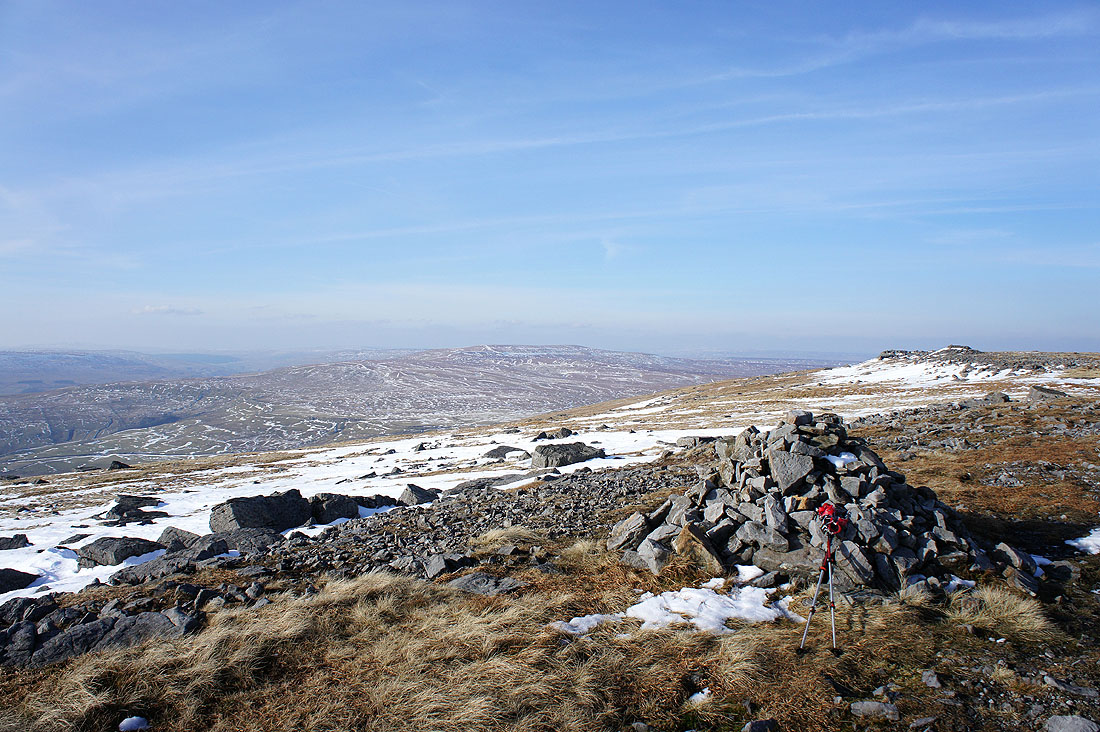
It's not easy to make out but that's Buckden Pike in the middle of the picture
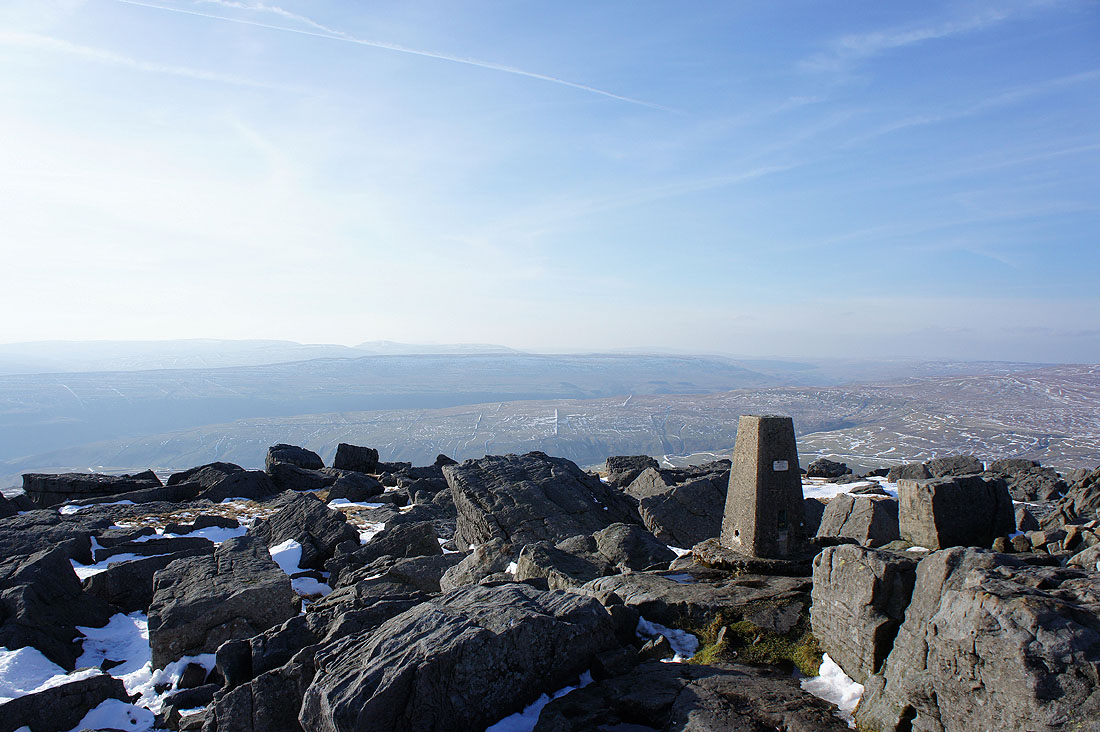
Fountains Fell, Penyghent, Plover Hill and Firth Fell from the summit of Great Whernside
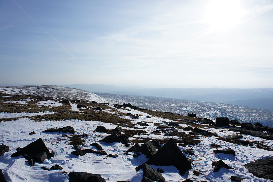
A very hazy view down Wharfedale
Buckden Pike on the right
A look back up to the summit as I head down to Kettlewell. That band of snow was tricky to cross.
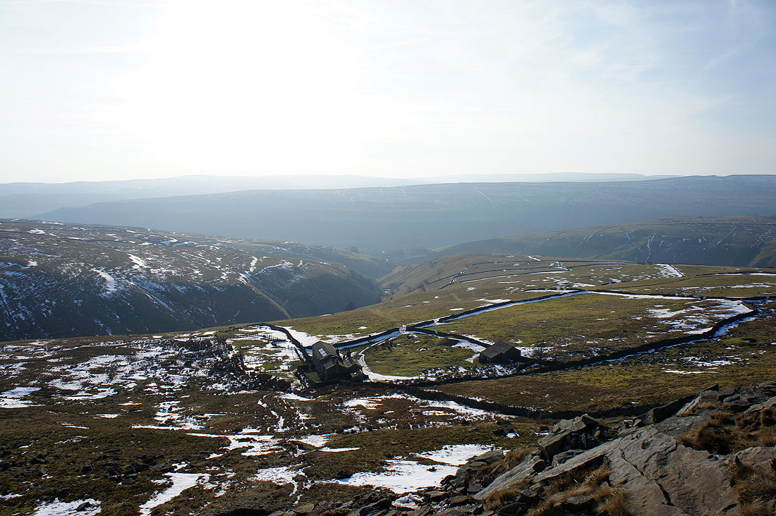
The buildings of Hag Dyke below
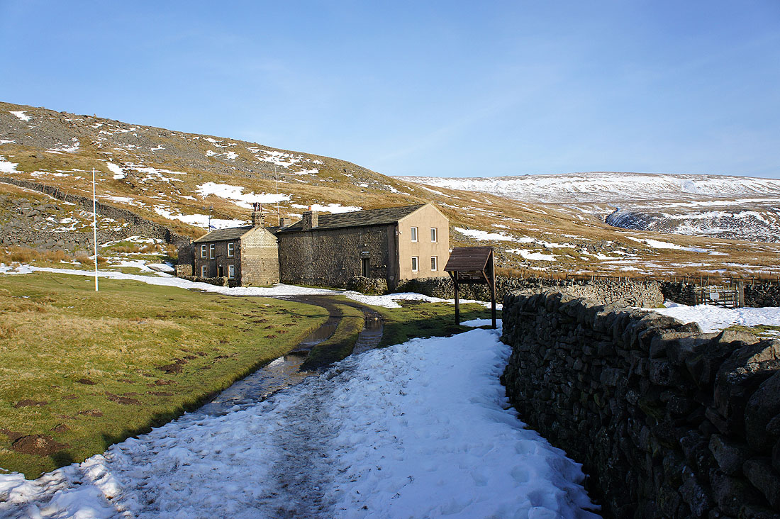
The scout hostel of Hag Dyke
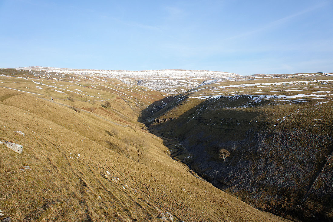
As I head down to Kettlewell there are great views of Dowber Gill Beck to enjoy
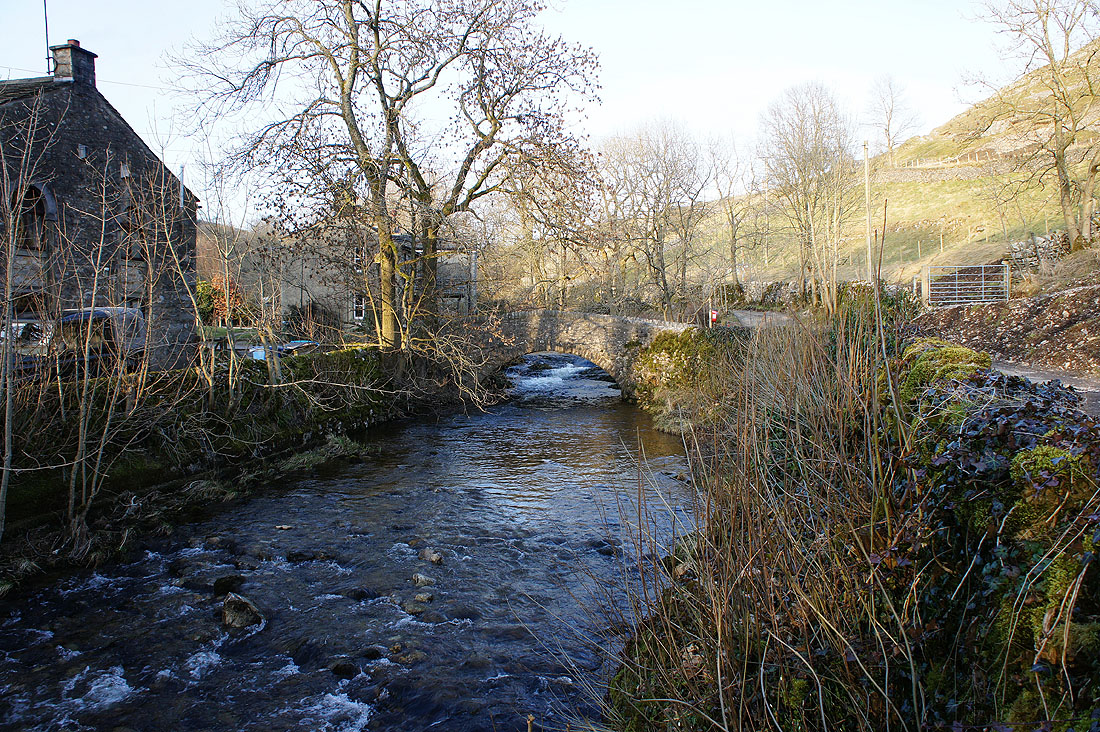
Beckside scenery in Kettlewell and..
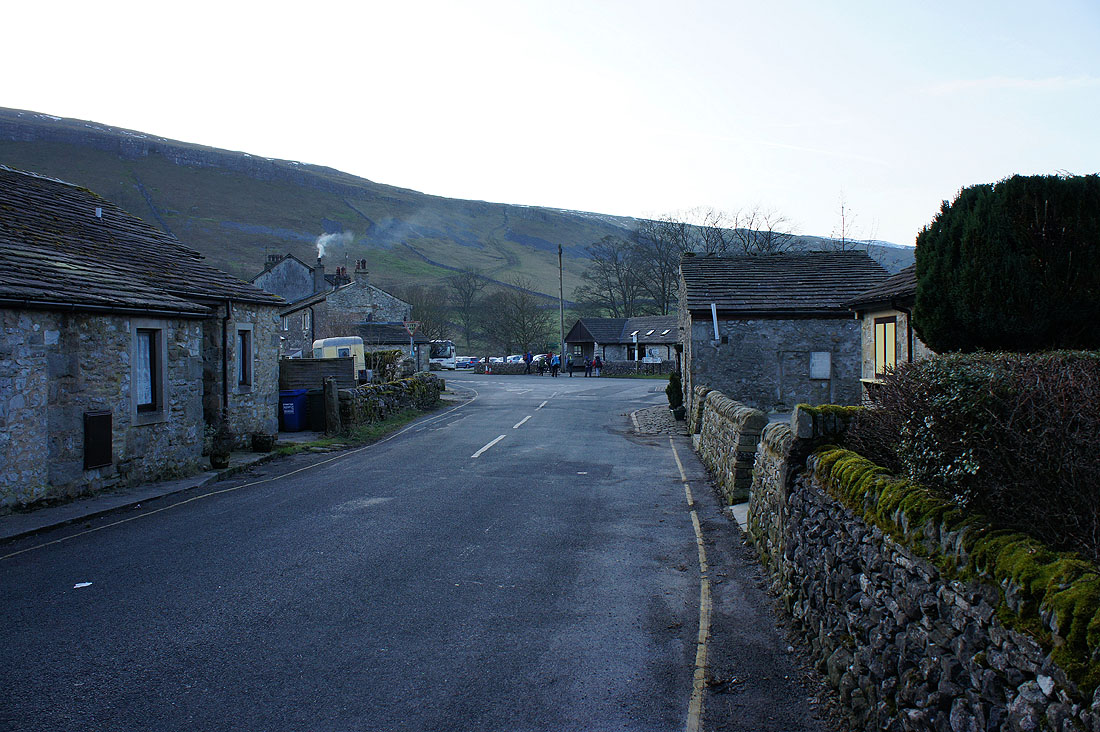
..a walk through the village back to the car park
