17th February 2015 - Taddington Moor & Chee Dale
Walk Details
Distance walked: 9.0 miles
Total ascent: 1667 ft
OS map used: OL24 - The Peak District, White Peak area
Time taken: 5 hrs
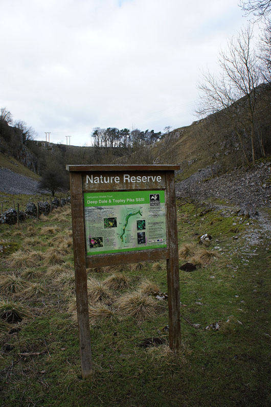
Route description: Miller's Dale car park-Monsal Trail-Priestcliffe-Priestcliffe Road-A6-Sough Lane-Chelmorton-A5270-Horseshoe Dale-Deep Dale-A6-Wye Dale-Monsal Trail-Miller's Dale car park
There's a fine day forecast for today but with the best of the sunshine to the south in the Peak District, so I decided to do this walk in the White Peak. I really enjoy the limestone valleys that are characteristic of the area, Horseshoe Dale and Deep Dale were both new to me and with several still to discover I'm looking forward to further walks in the area later in the year.
On leaving the Miller's Dale car park I turned left onto the Monsal Trail. After crossing the viaduct I took the signposted path on the right (not the one for Lime Kilns) that heads uphill and then crosses fields to Priestcliffe. I followed Priestcliffe Road to the A6, and then across and onto the bridleway of Sough Lane. A footpath across the fields to the south of Fivewells Farm and then a bridleway brought me to the village of Chelmorton. I left the village by the path past Shepley Farm, a turn left onto a walled path across Common Lane and I reached the A5270. A path cuts a corner of the road but a walk on the verge is still needed to get to the start of Horseshoe Dale. I then walked down Horseshoe Dale, Deep Dale and out to the A6 past the entrance to Topley Pike Quarry. Across the A6 and I took the track by the River Wye down Wye Dale and when the Monsal Trail begins I followed this down Chee Dale back to the car park.
Total ascent: 1667 ft
OS map used: OL24 - The Peak District, White Peak area
Time taken: 5 hrs
Route description: Miller's Dale car park-Monsal Trail-Priestcliffe-Priestcliffe Road-A6-Sough Lane-Chelmorton-A5270-Horseshoe Dale-Deep Dale-A6-Wye Dale-Monsal Trail-Miller's Dale car park
There's a fine day forecast for today but with the best of the sunshine to the south in the Peak District, so I decided to do this walk in the White Peak. I really enjoy the limestone valleys that are characteristic of the area, Horseshoe Dale and Deep Dale were both new to me and with several still to discover I'm looking forward to further walks in the area later in the year.
On leaving the Miller's Dale car park I turned left onto the Monsal Trail. After crossing the viaduct I took the signposted path on the right (not the one for Lime Kilns) that heads uphill and then crosses fields to Priestcliffe. I followed Priestcliffe Road to the A6, and then across and onto the bridleway of Sough Lane. A footpath across the fields to the south of Fivewells Farm and then a bridleway brought me to the village of Chelmorton. I left the village by the path past Shepley Farm, a turn left onto a walled path across Common Lane and I reached the A5270. A path cuts a corner of the road but a walk on the verge is still needed to get to the start of Horseshoe Dale. I then walked down Horseshoe Dale, Deep Dale and out to the A6 past the entrance to Topley Pike Quarry. Across the A6 and I took the track by the River Wye down Wye Dale and when the Monsal Trail begins I followed this down Chee Dale back to the car park.
Route map
© Crown copyright. All rights reserved. License number PU 100034184.
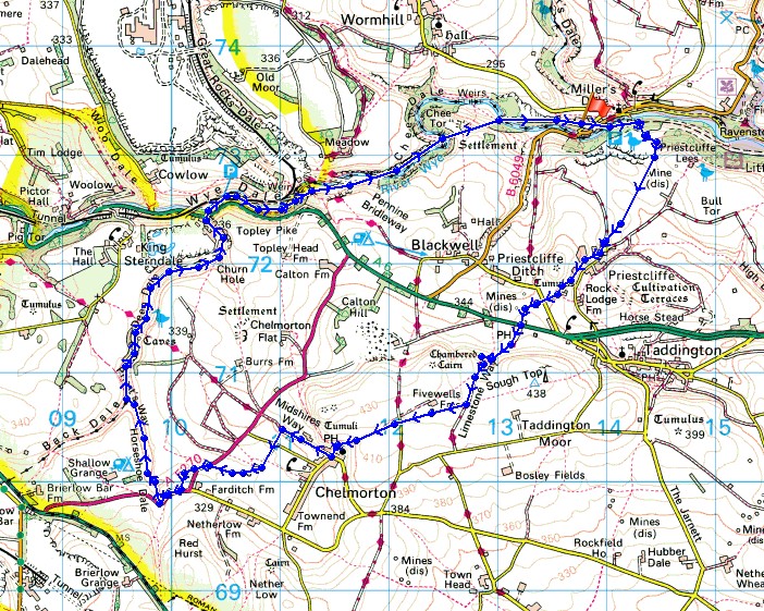
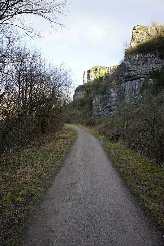
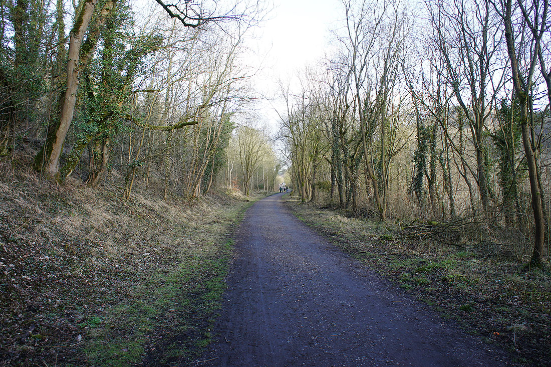
It's still cold in the shadows as I set off on the Monsal Trail
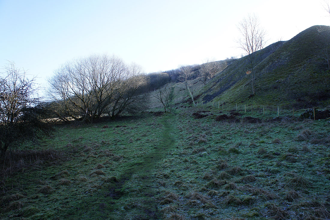
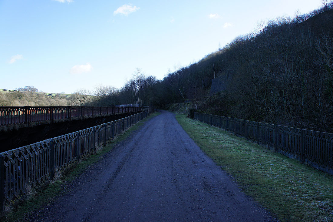
I'm not on it for long though as I take the path uphill for Priestcliffe
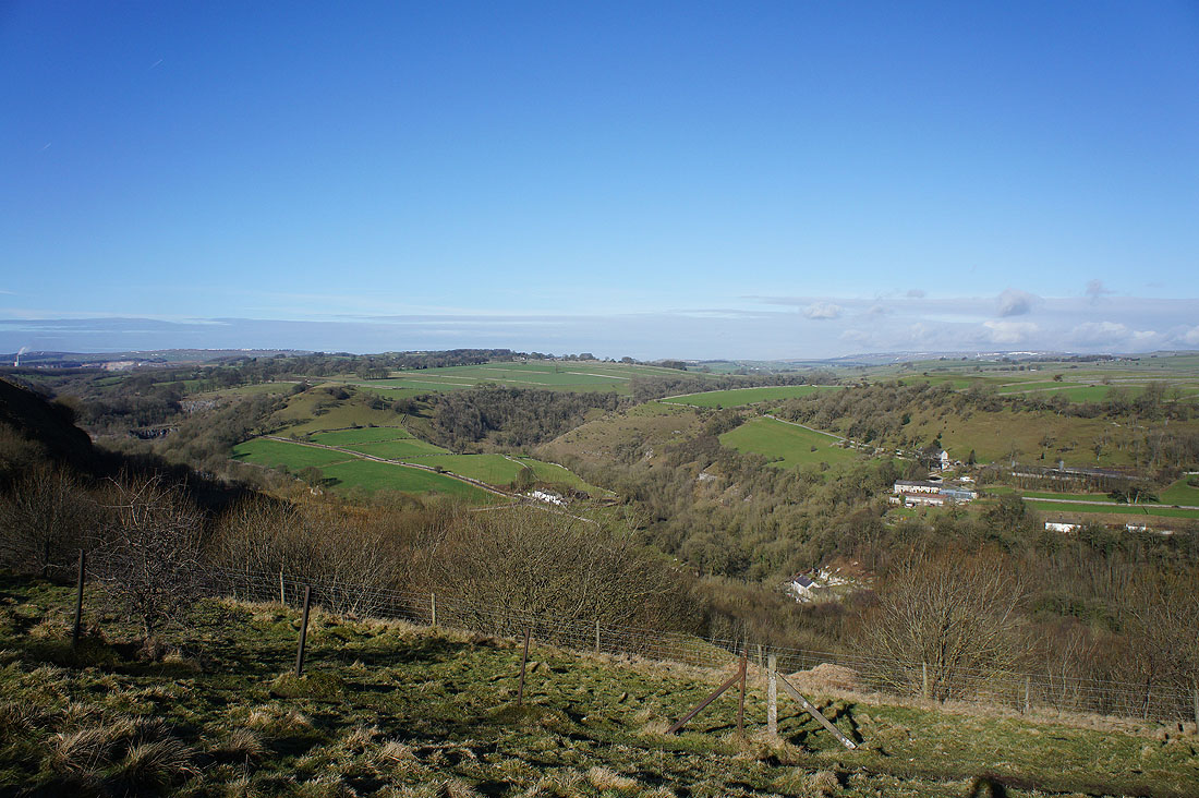
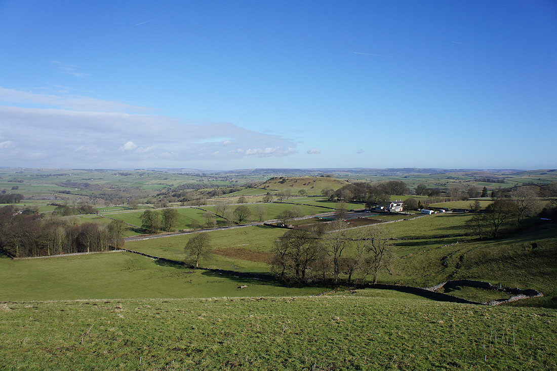
A great view as I reach the top. Miller's Dale is hidden below while the valley of Monk's Dale heads away from me.
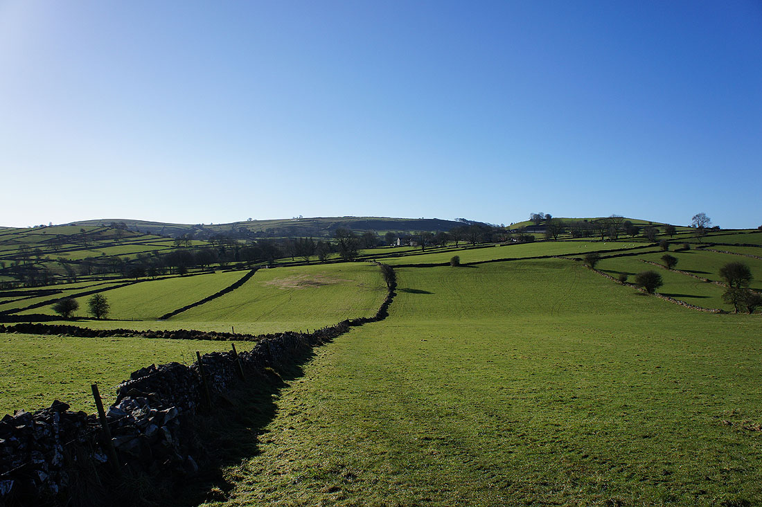
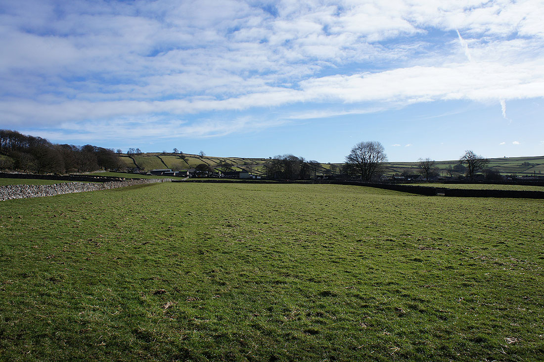
Crossing fields to Priestcliffe
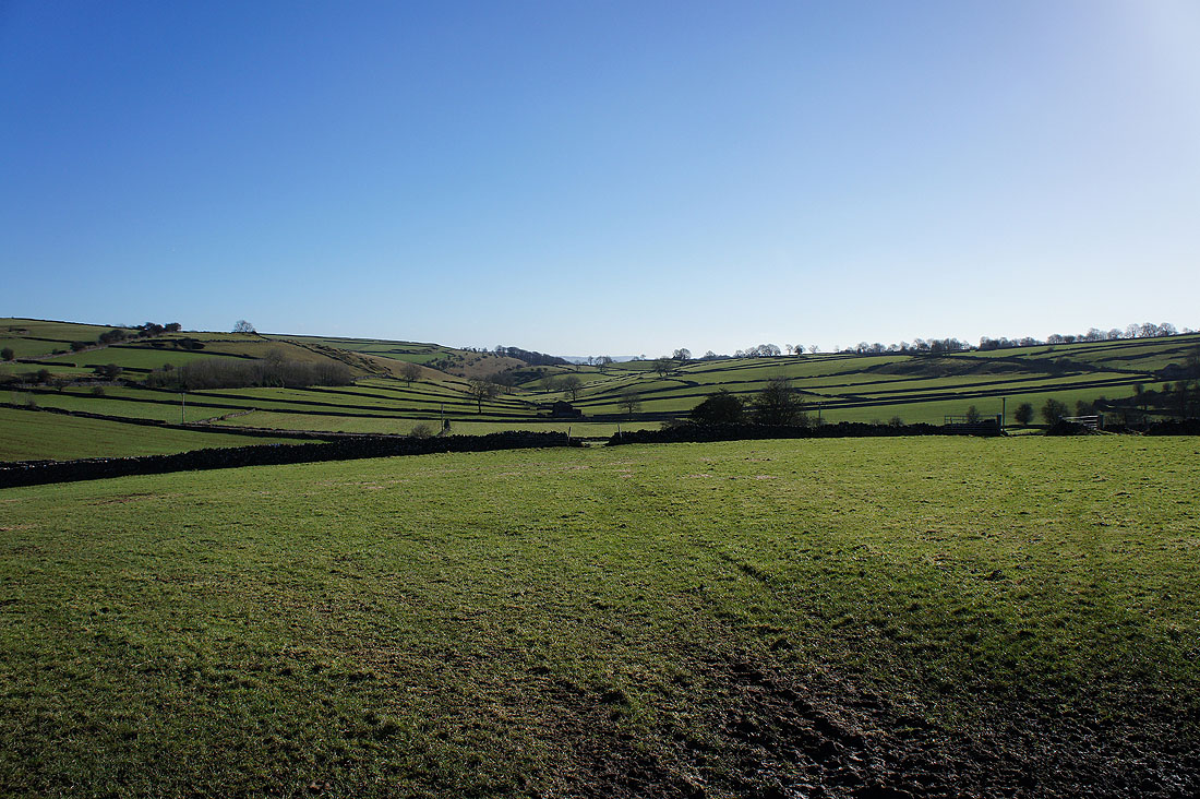
It's a beautiful morning in the White Peak
|
|
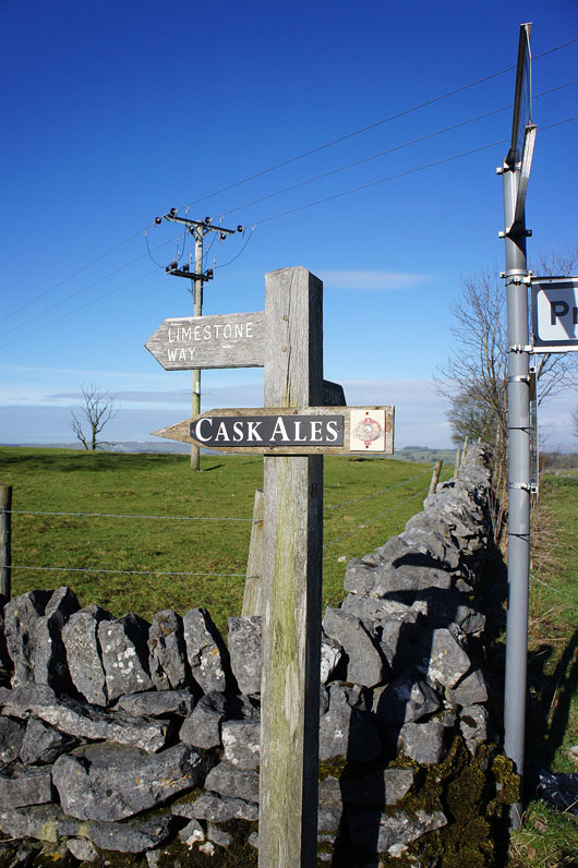
On the other side of Priestcliffe I join the Limestone Way trail to cross the A6 and go up the bridleway of Sough Lane
A view north across the White Peak as I reach the top of the climb below Sough Top
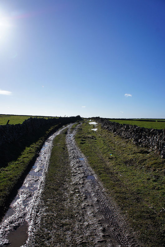
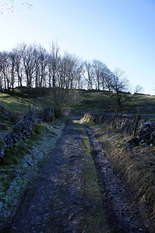
On Sough Lane and the last patches of snow linger on from recent snowfall
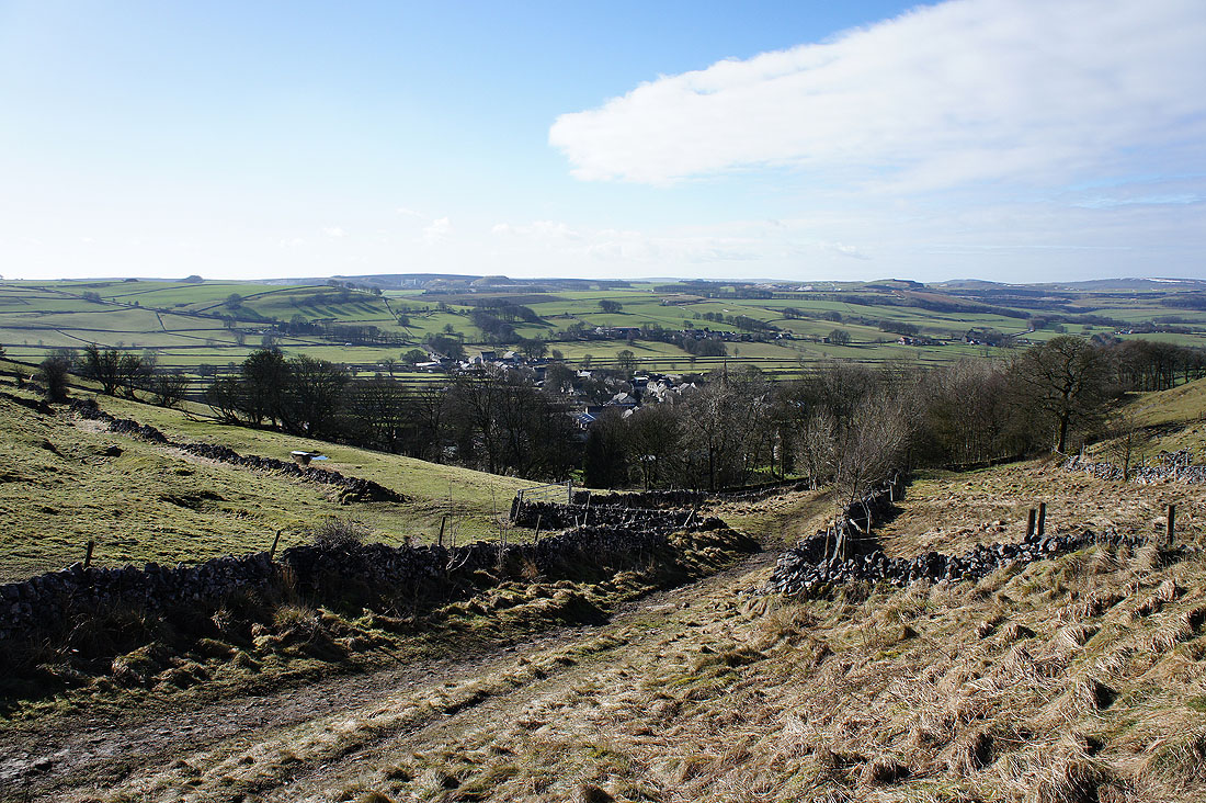
Heading down into Chelmorton
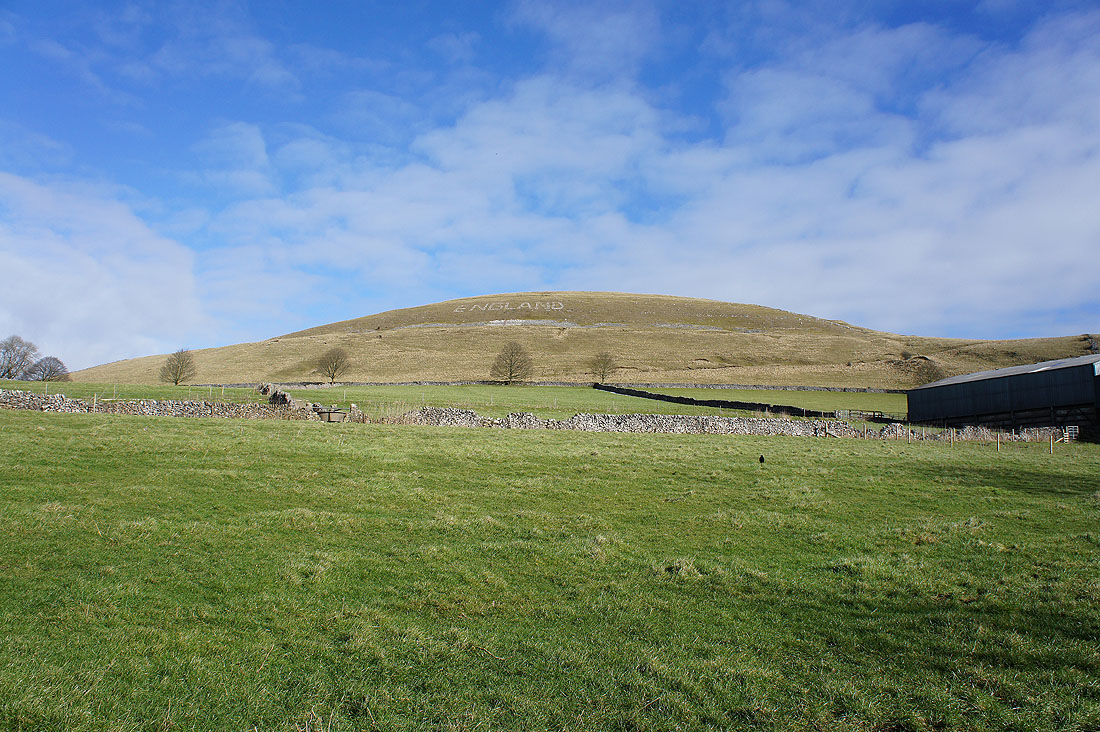
A patriotic Chelmorton Low
Looking across to Chelmorton as I follow a path to the west of the village. The houses are strung out along a single street as the village developed along the course of the stream that issues from the base of Chelmorton Low.
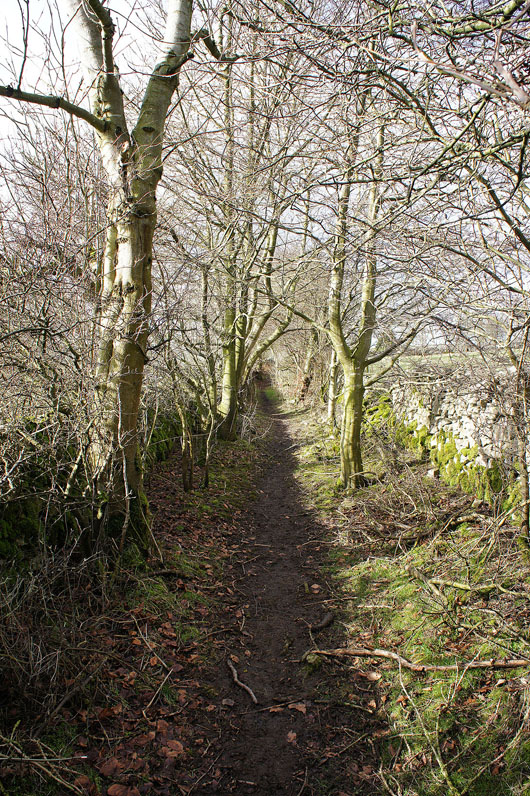
A very pleasant path lined with trees will take me to the A5270
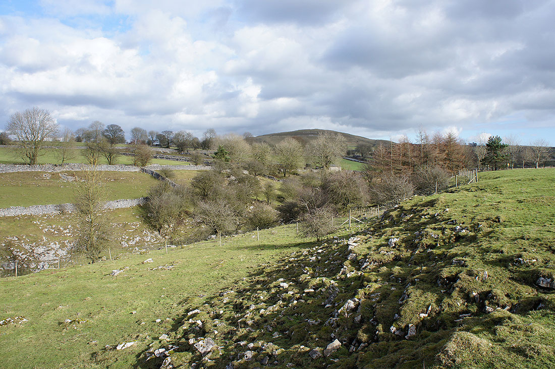
The secretive little valley of Bullhay Dale. On private land with no access unfortunately.
At the start of Horseshoe Dale and my favourite part of the walk
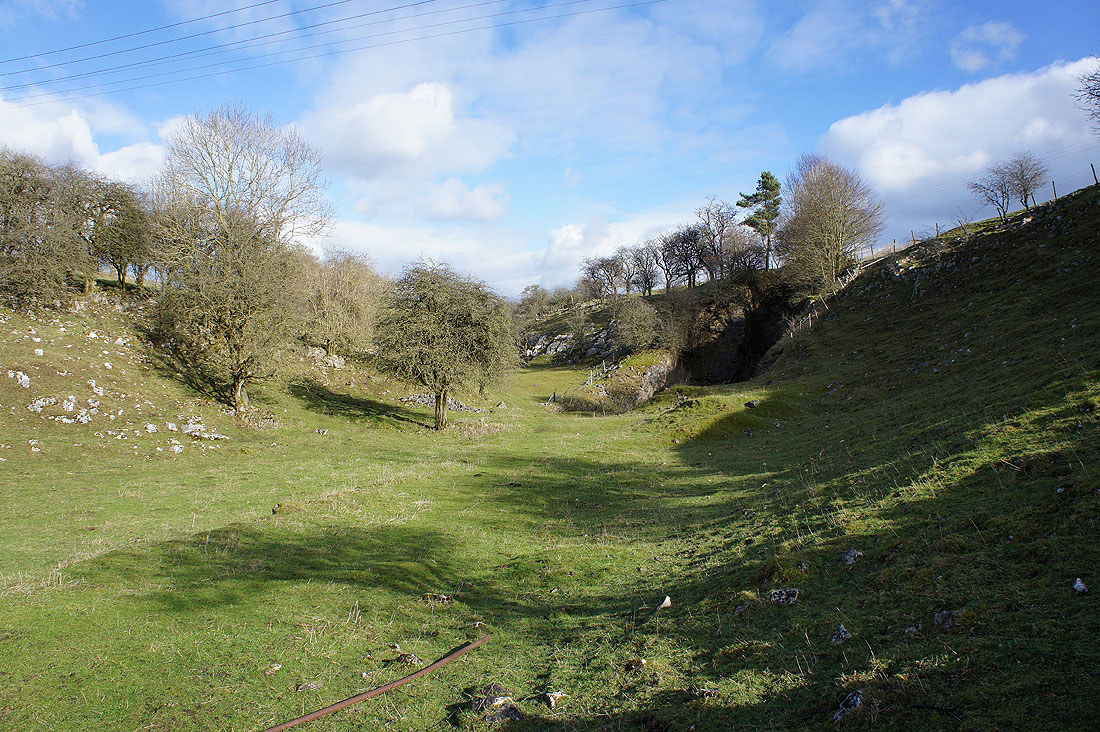
Leaning over a gate to look at the exit of Bullhay Dale
My lunch spot in Horseshoe Dale. So peaceful and quiet.
Continuing down Horseshoe Dale and..
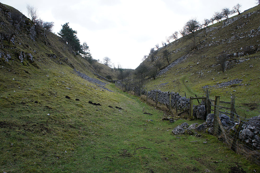
..when Back Dale joins, the valley becomes..
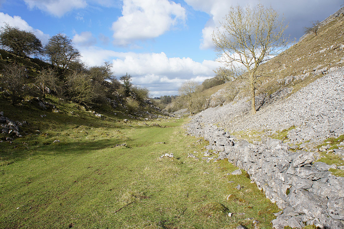
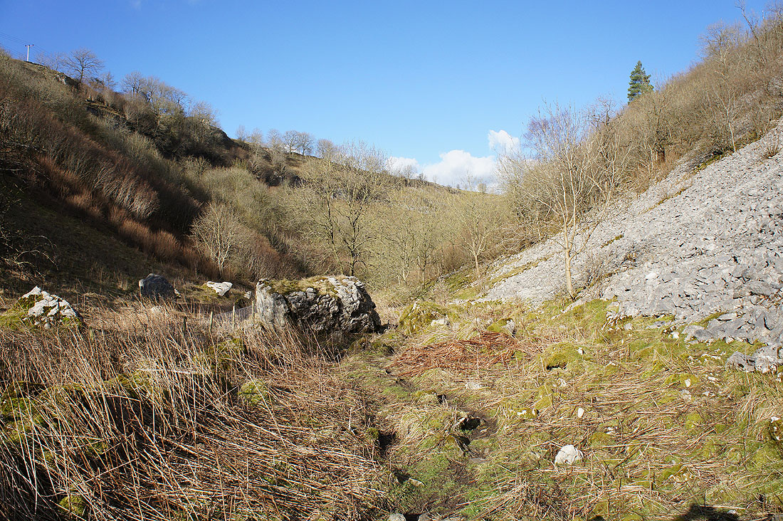
..Deep Dale
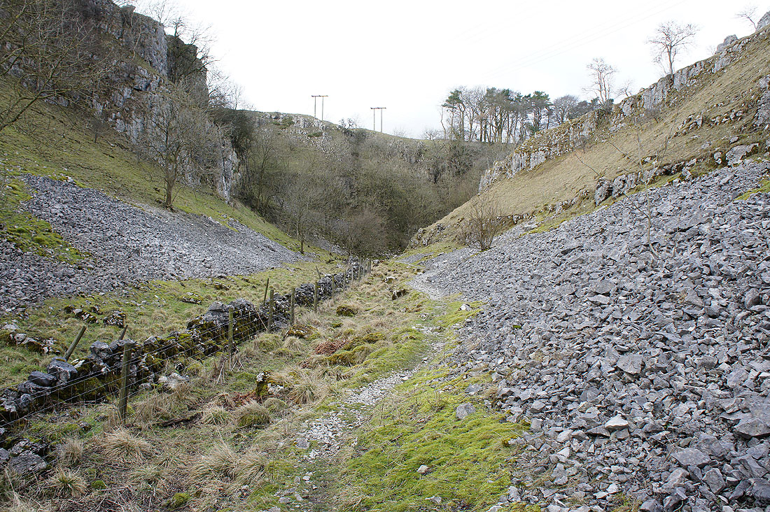
The valley walls are steeper and it's rougher underfoot
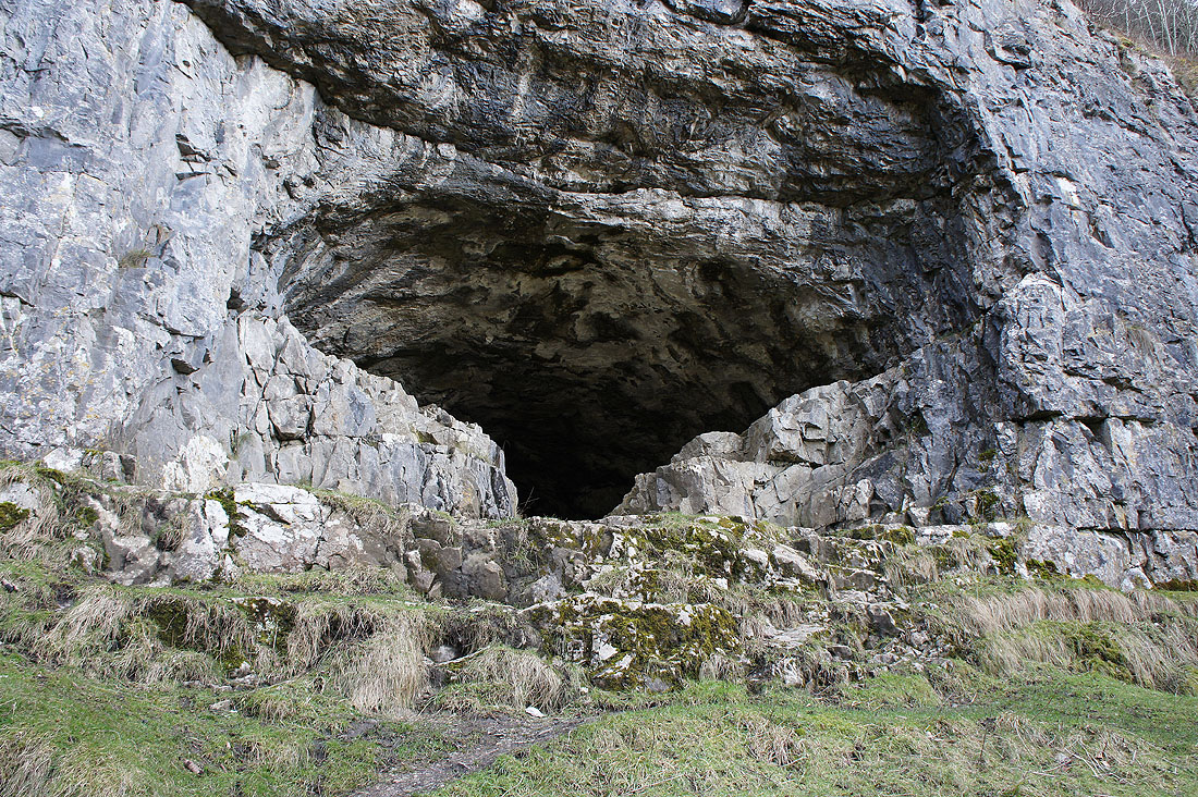
The entrance to Thirst House Cave. It's on the east side of the valley and an obvious path heads up to it.
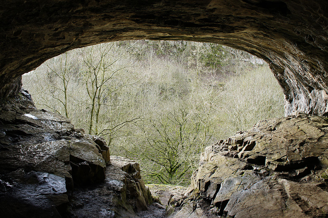
The cave goes in quite a way, as far as I could see in daylight. It's been archaeologically excavated and the finds are in Buxton Museum.
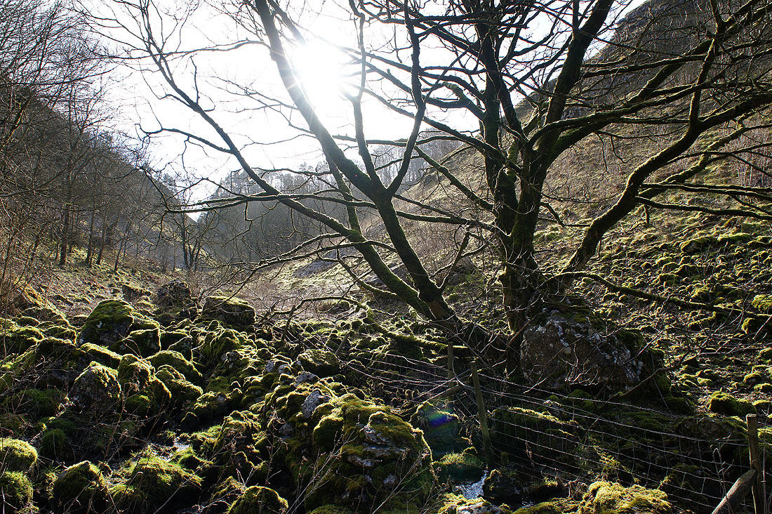
There's moss covering nearly everything down here, from trees to boulders
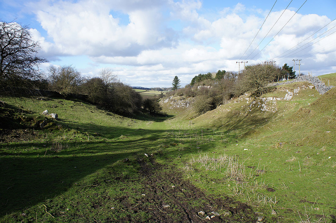
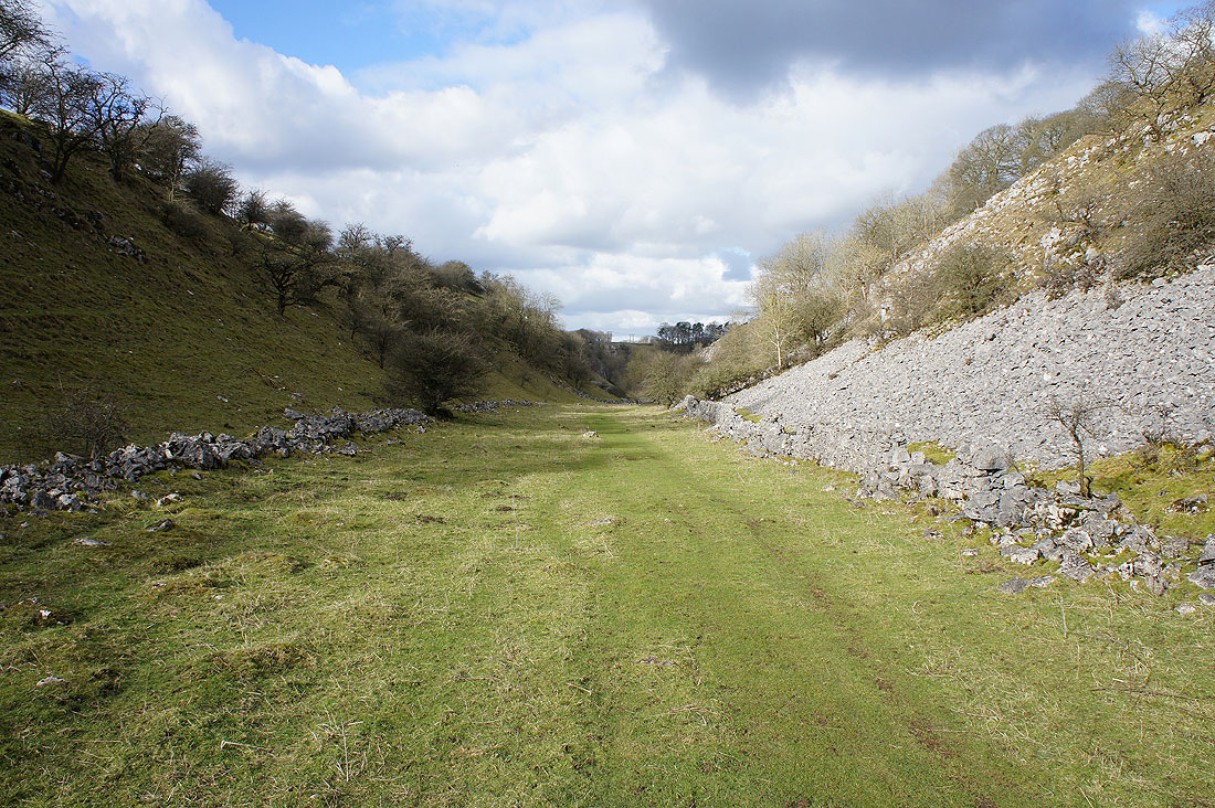
The thoroughly enjoyable walk down Deep Dale comes to end..
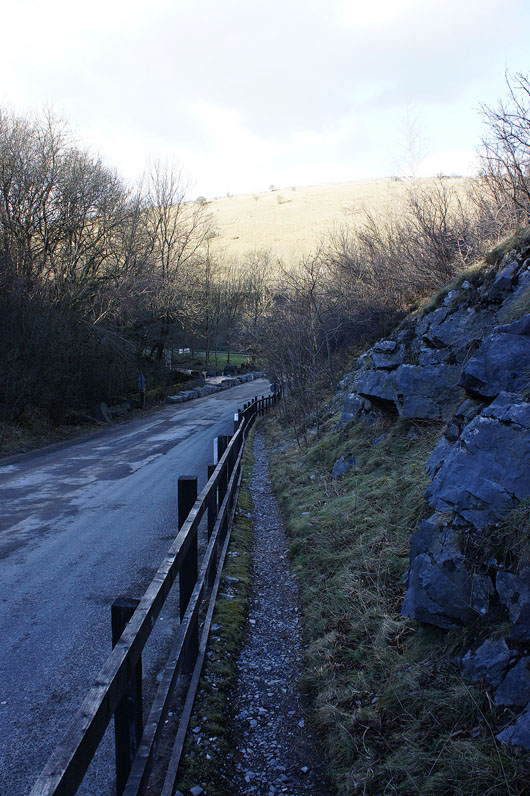
..with the path by the drive of Topley Pike Quarry down to the A6
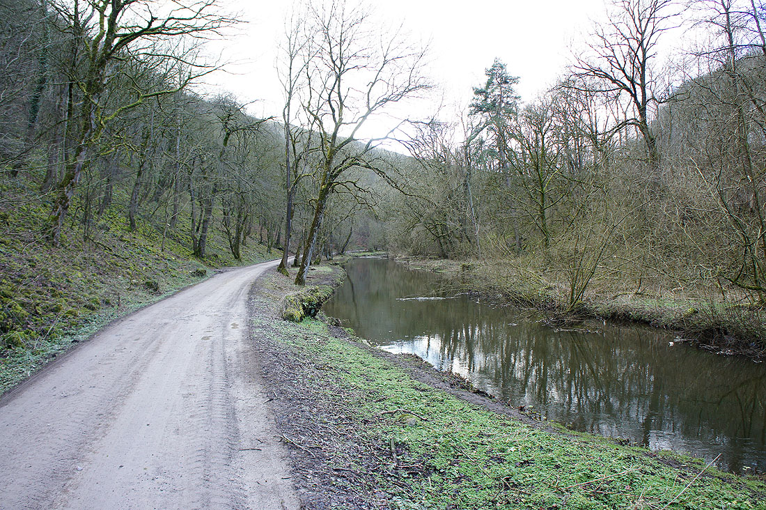
The River Wye as I leave the track through Wye Dale for the Monsal Trail
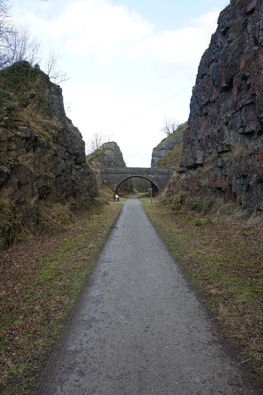
At the start of the Monsal Trail through Chee Dale which I'll follow all the way....
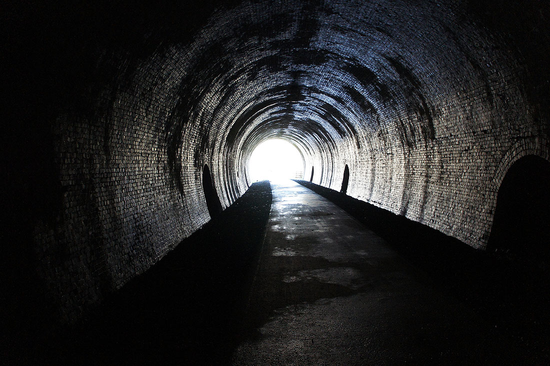
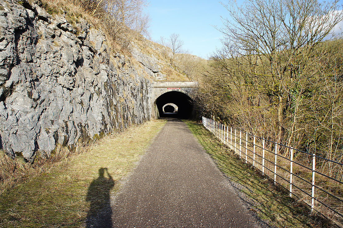
....to the Miller's Dale car park