17th February 2018 - Pendle Hill
Walk Details
Distance walked: 7.0 miles
Total ascent: 1012 ft
OS map used: OL41 - Forest of Bowland & Ribblesdale
Time taken: 4 hrs
Route description: Nick of Pendle-Pendleton Moor-Ogden Clough-Pendle Hill-Downham Moor-Worston Moor-Scout Cairn-Mearley Moor-Pendleton Moor-Nick of Pendle
I'd originally planned on going somewhere a bit further afield for my walk today, but it took too long for it to brighten up for me to commit to it and trust that I wouldn't end up regretting it. So, I decided to climb Pendle Hill for the first time this year with the route from the Nick of Pendle being my choice. I spent an enjoyable few hours on the moors in weather that gradually improved through the afternoon as more in the way of sunshine developed.
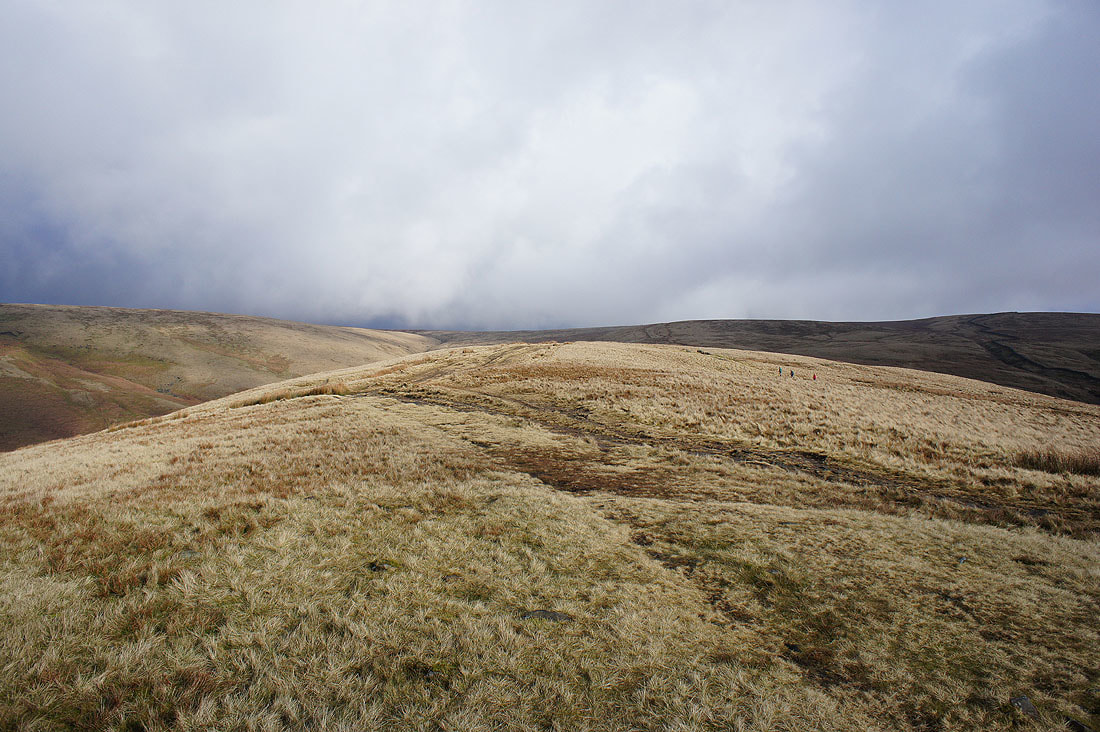
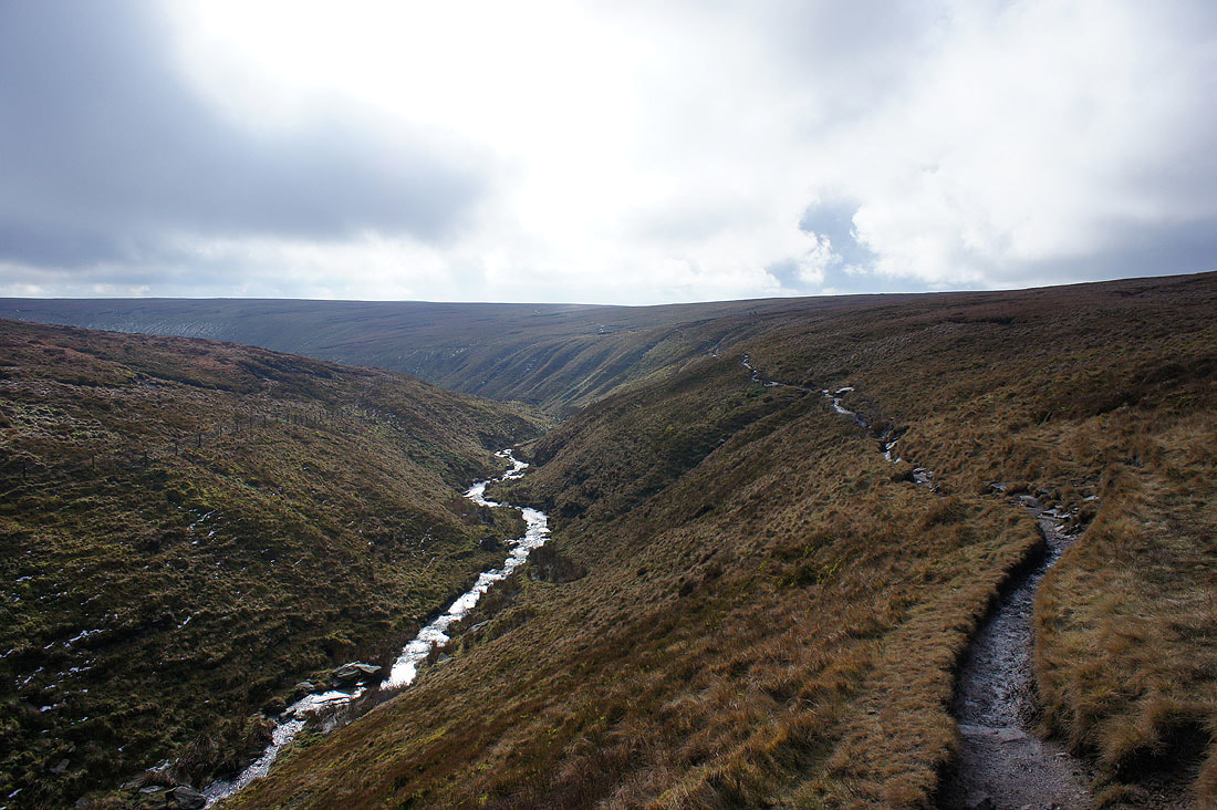
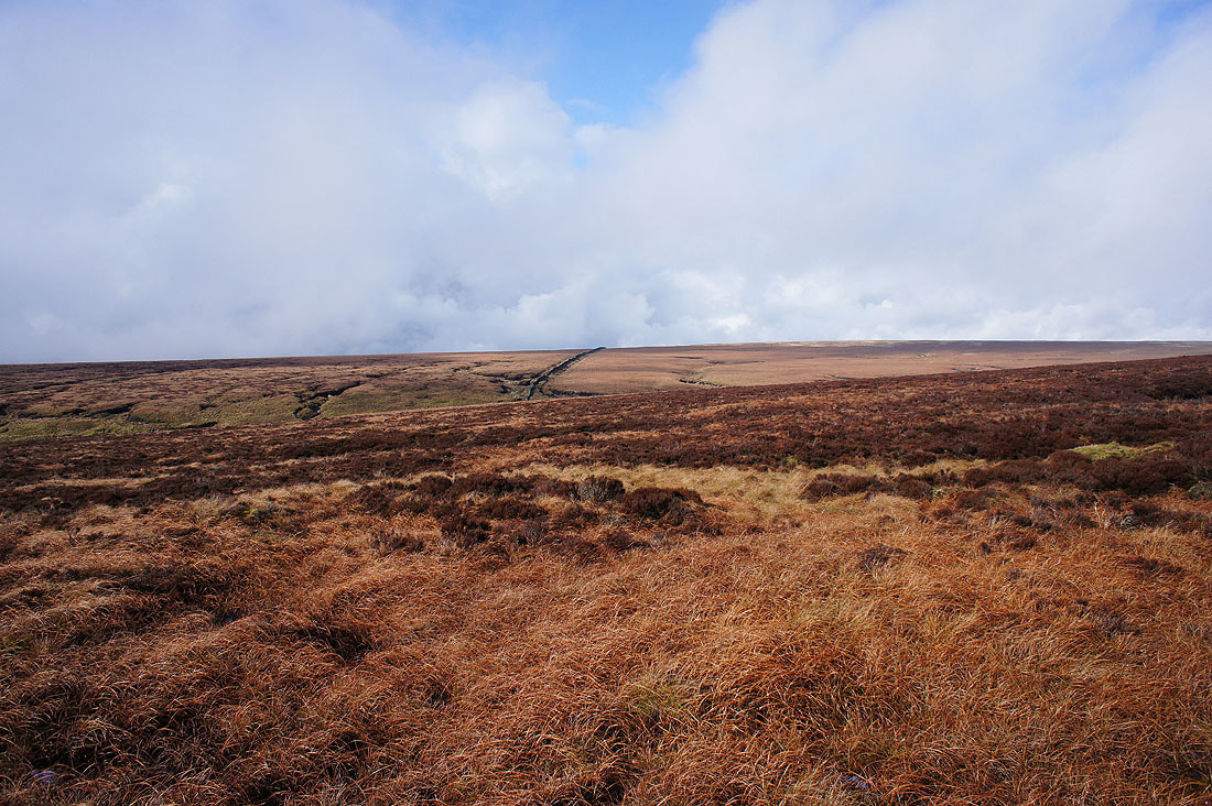
From my starting point at one of the laybys on the road across the Nick of Pendle I made my way up onto Pendleton Moor. I kept on the path as it made its way into Ogden Clough and followed it all the way up to the trig point and summit. I then crossed the stile onto Downham Moor, followed the path west, and crossed the stile onto Worston Moor to reach the Scout Cairn. I then walked across Mearley Moor before crossing the top of Howcroft Brook to pick up the path across Pendleton Moor back to the Nick of Pendle.
Total ascent: 1012 ft
OS map used: OL41 - Forest of Bowland & Ribblesdale
Time taken: 4 hrs
Route description: Nick of Pendle-Pendleton Moor-Ogden Clough-Pendle Hill-Downham Moor-Worston Moor-Scout Cairn-Mearley Moor-Pendleton Moor-Nick of Pendle
I'd originally planned on going somewhere a bit further afield for my walk today, but it took too long for it to brighten up for me to commit to it and trust that I wouldn't end up regretting it. So, I decided to climb Pendle Hill for the first time this year with the route from the Nick of Pendle being my choice. I spent an enjoyable few hours on the moors in weather that gradually improved through the afternoon as more in the way of sunshine developed.
From my starting point at one of the laybys on the road across the Nick of Pendle I made my way up onto Pendleton Moor. I kept on the path as it made its way into Ogden Clough and followed it all the way up to the trig point and summit. I then crossed the stile onto Downham Moor, followed the path west, and crossed the stile onto Worston Moor to reach the Scout Cairn. I then walked across Mearley Moor before crossing the top of Howcroft Brook to pick up the path across Pendleton Moor back to the Nick of Pendle.
Route map
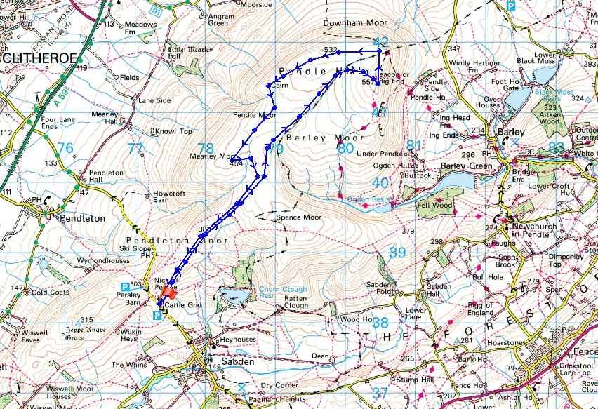
© Crown copyright. All rights reserved. License number PU 100034184.
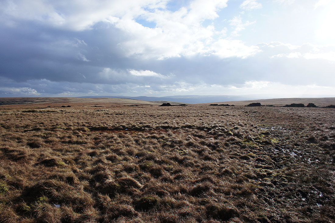
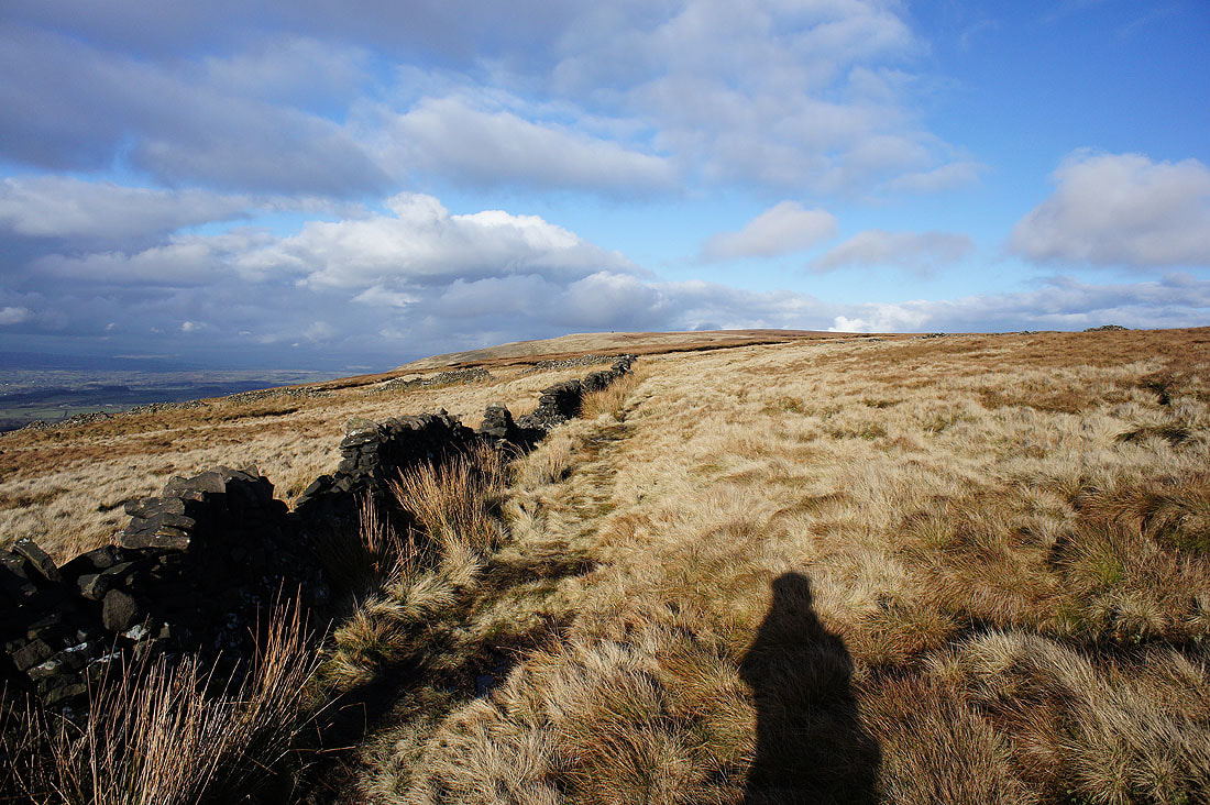
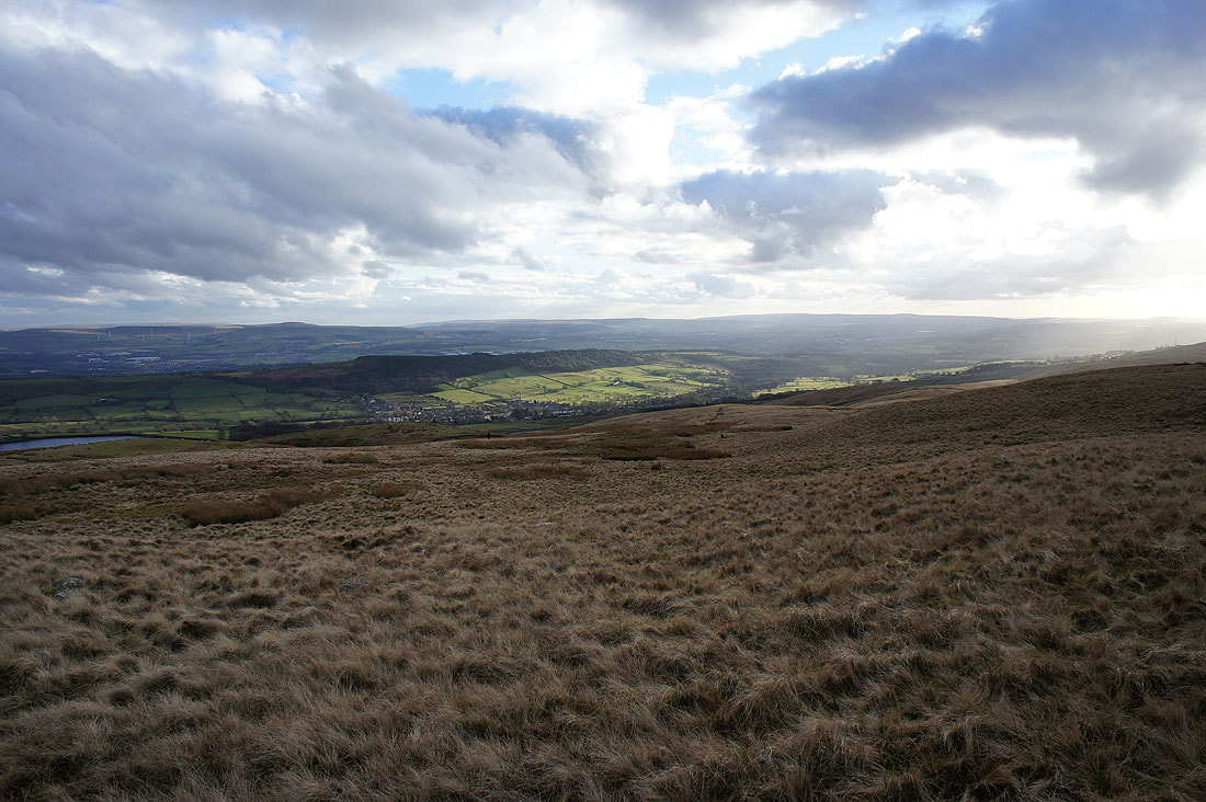
Heading onto Pendleton Moor from the Nick of Pendle
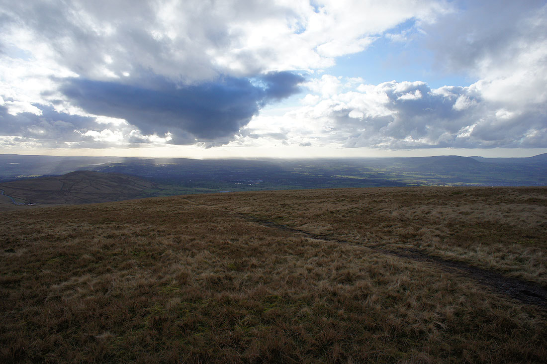
Looking across the Ribble Valley to Longridge Fell and Clitheroe
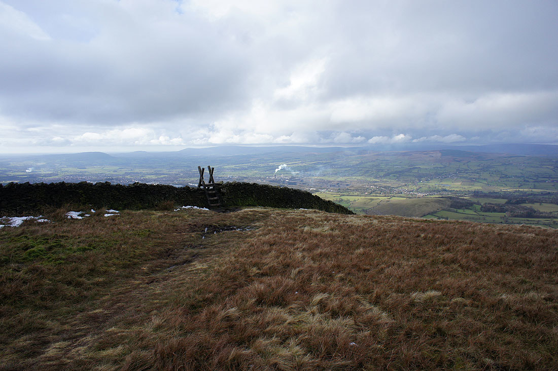
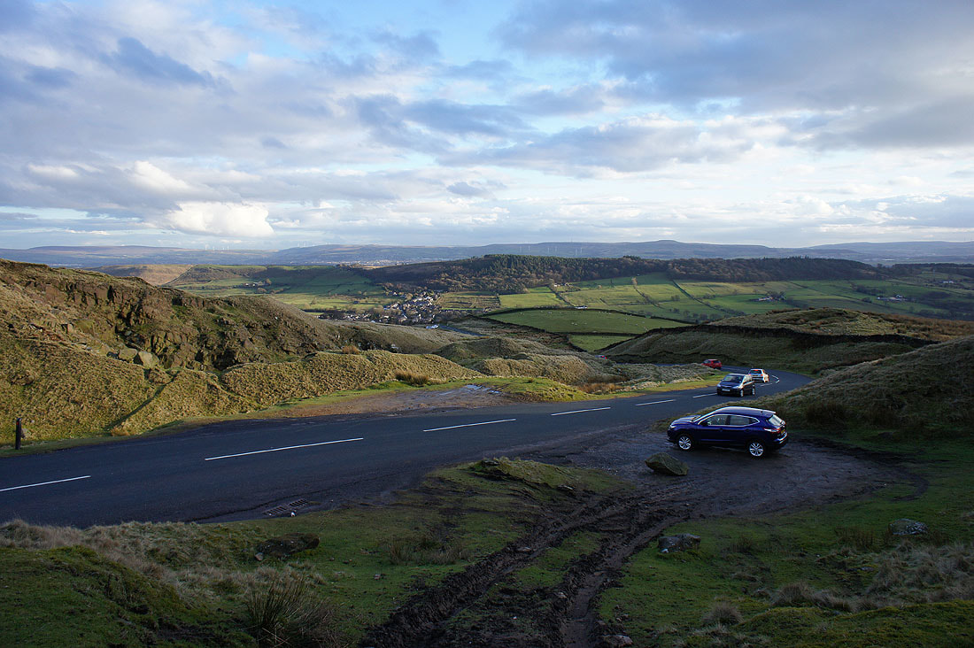
Looking back to the Nick of Pendle and The Rough
Brightening skies as the cloud continues to lift and clear
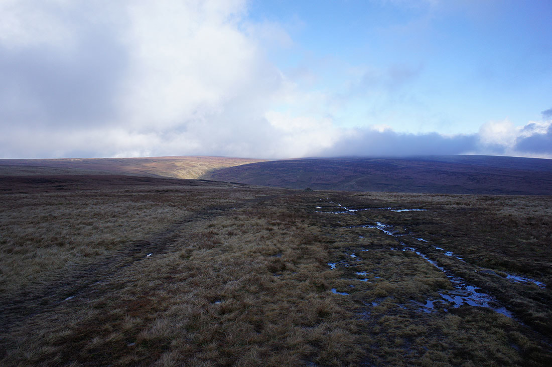
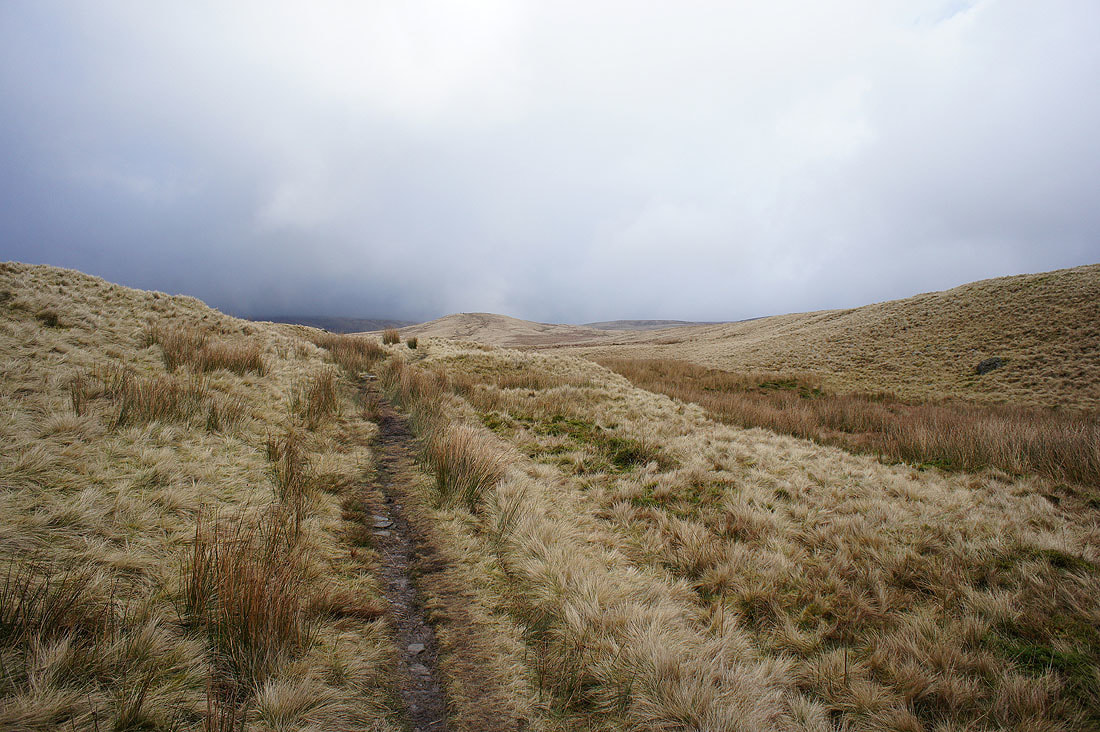
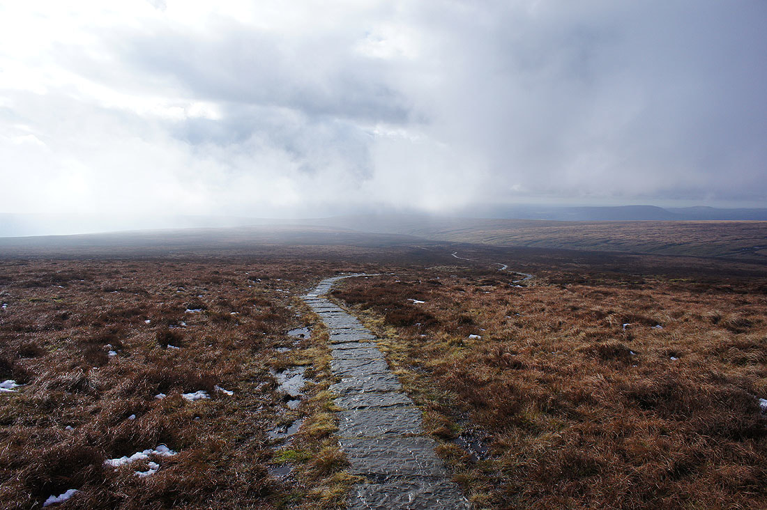
There's still cloud on the summit as I approach Ogden Clough
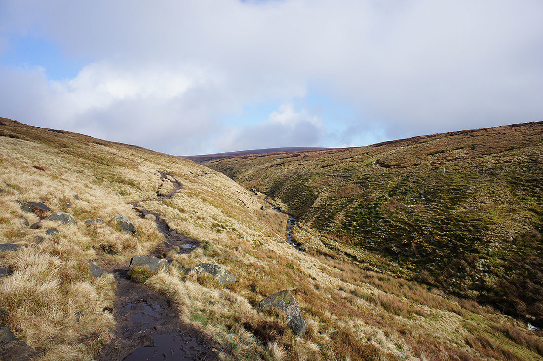
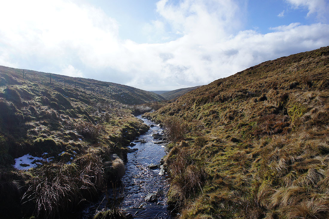
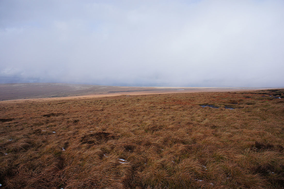
Ogden Clough and Spence Moor
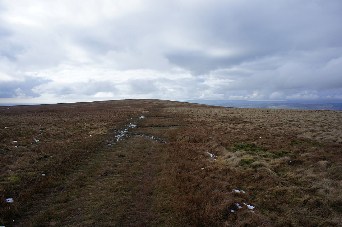
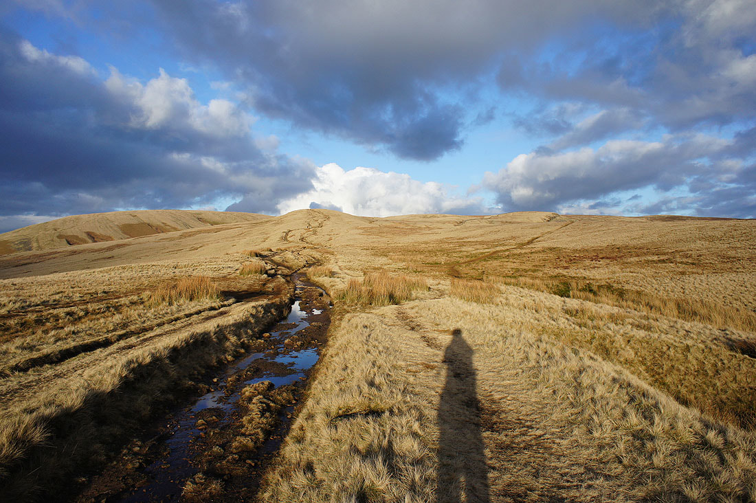
Making my way up Ogden Clough...
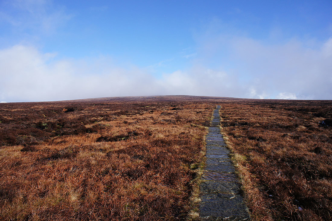
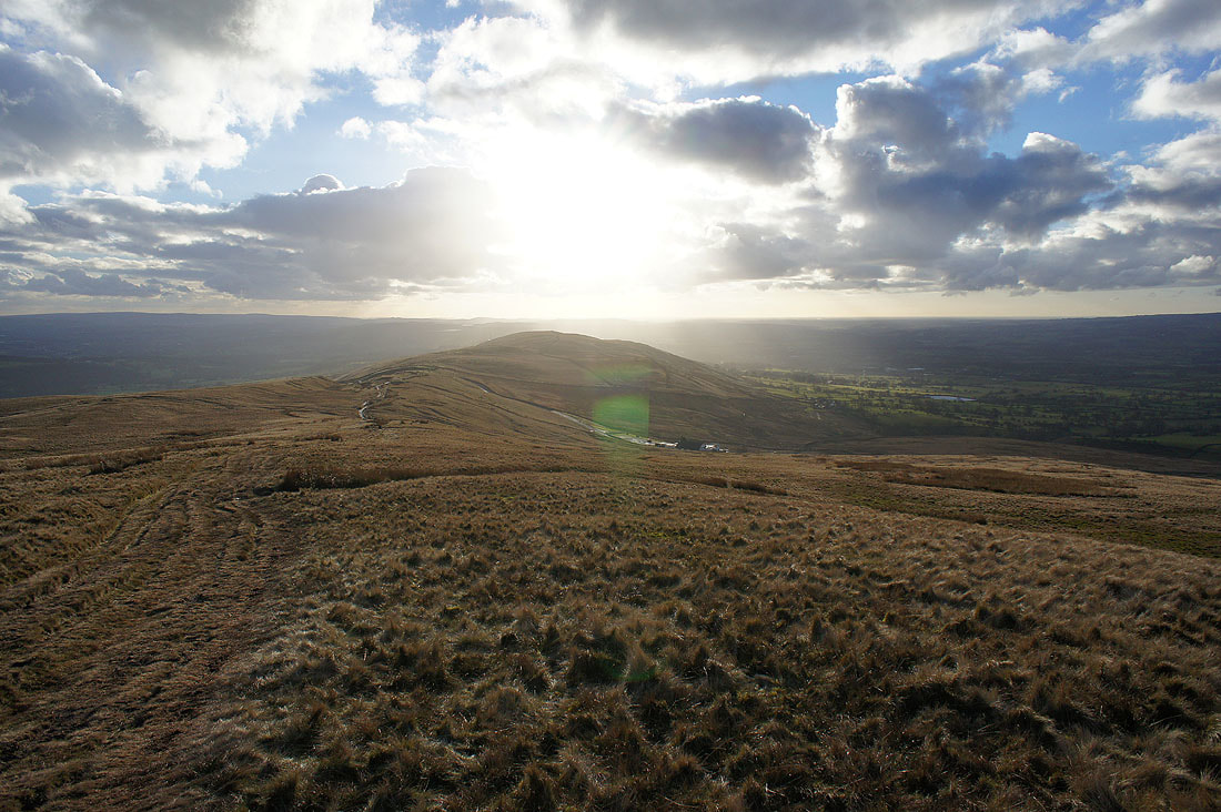
Patches of cloud drift across as I approach the summit
There's a great light on the moors though as the sun breaks through...
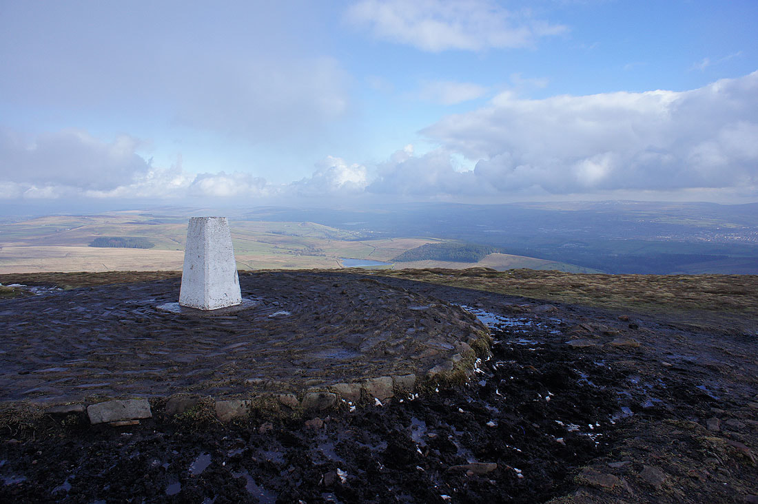
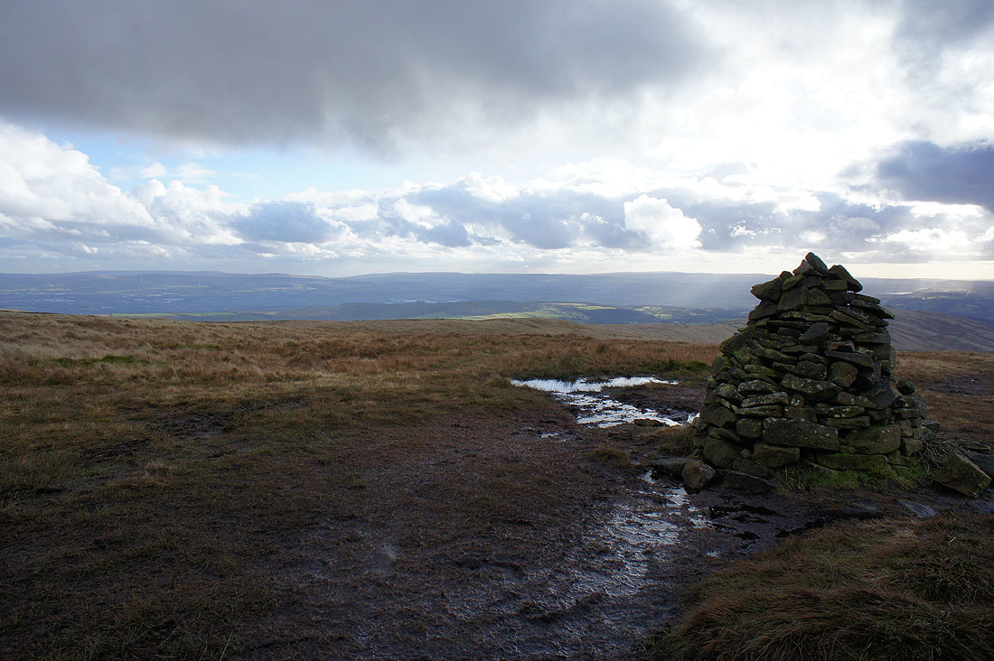
At the trig point and summit
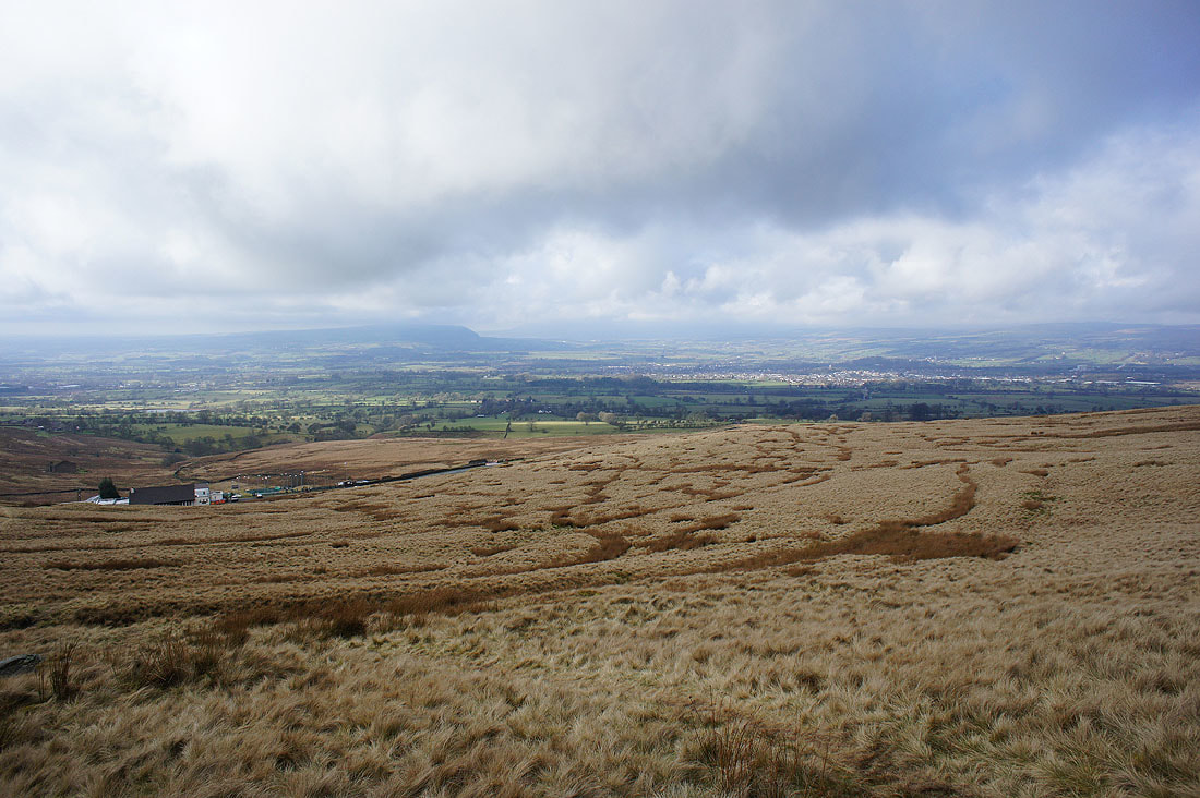
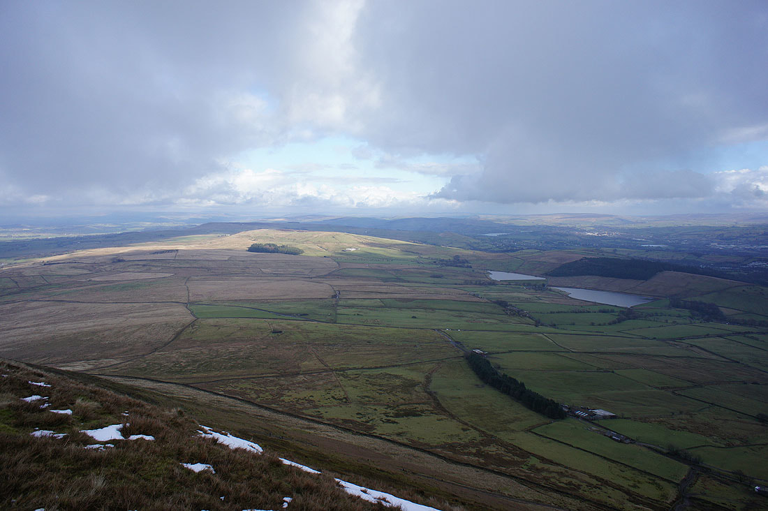
The Black Moss Reservoirs, Barley and Lower Ogden Reservoir below with Colne, Nelson and the South Pennines in the distance
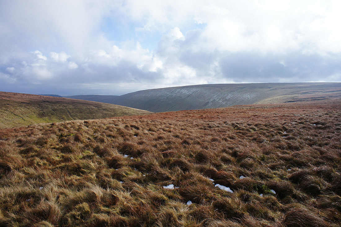
A bit of sunshine on Wheathead Height
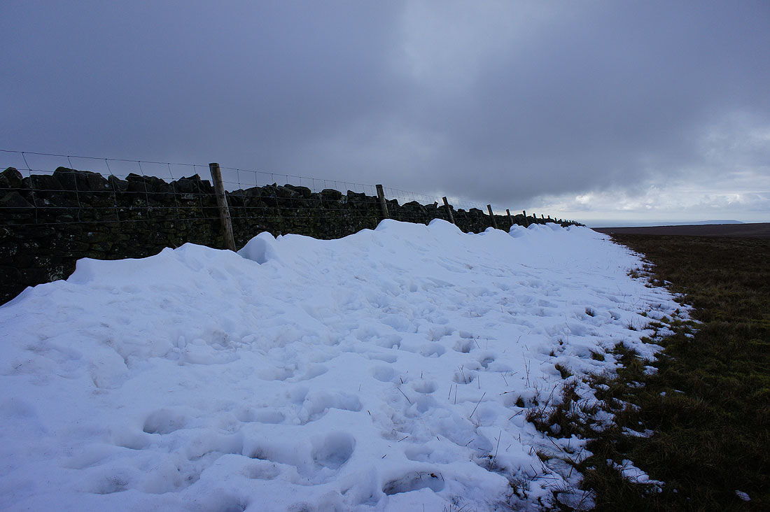
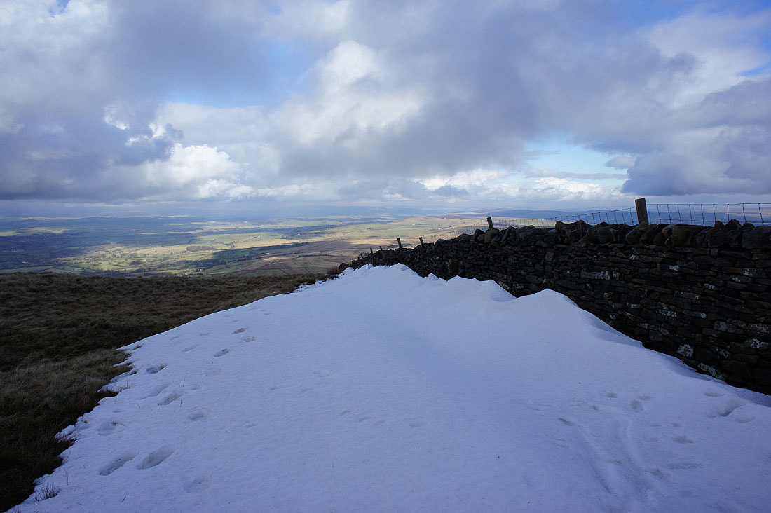
Deep drifts from the recent snowfall linger on in the shelter of the wall as I cross it onto Downham Moor..
Looking up the Ribble Valley towards the Yorkshire Dales
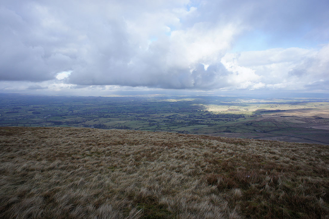
Making my way across Downham Moor..
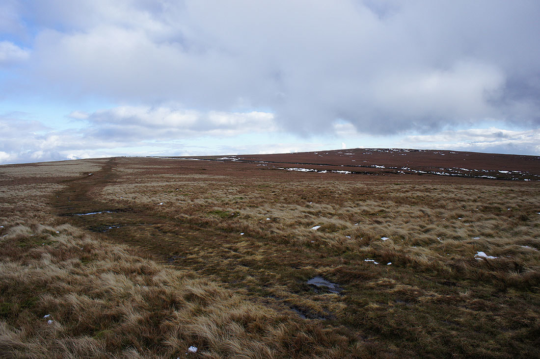
..and looking back to the summit
Distant West Pennine Moors behind Spence Moor
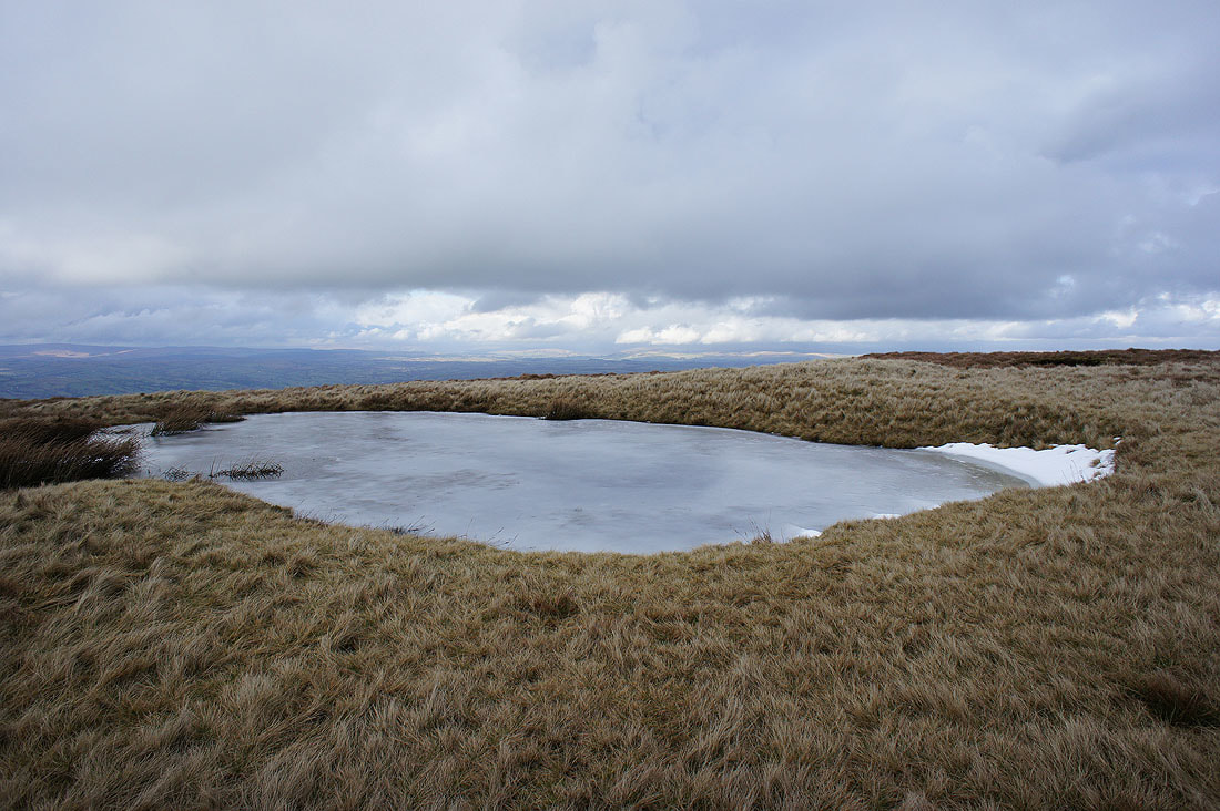
Frozen pool on Downham Moor
Approaching the stile onto Worston Moor
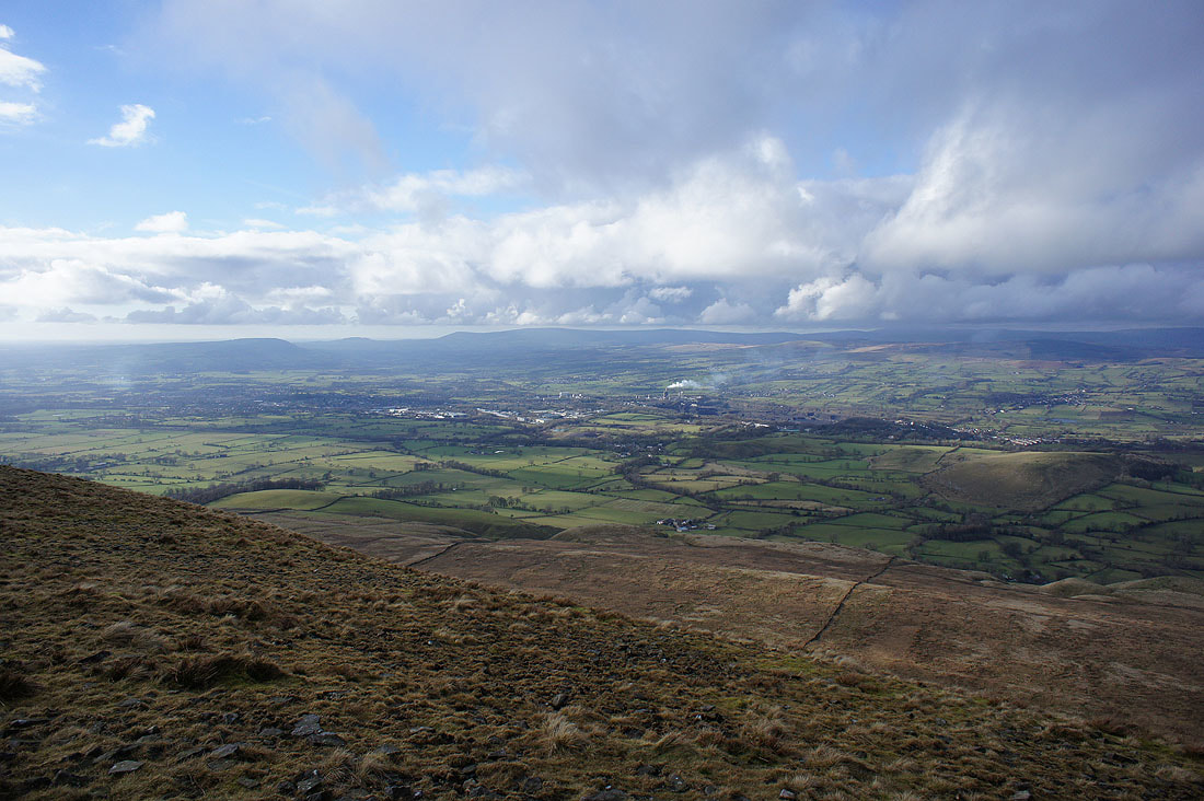
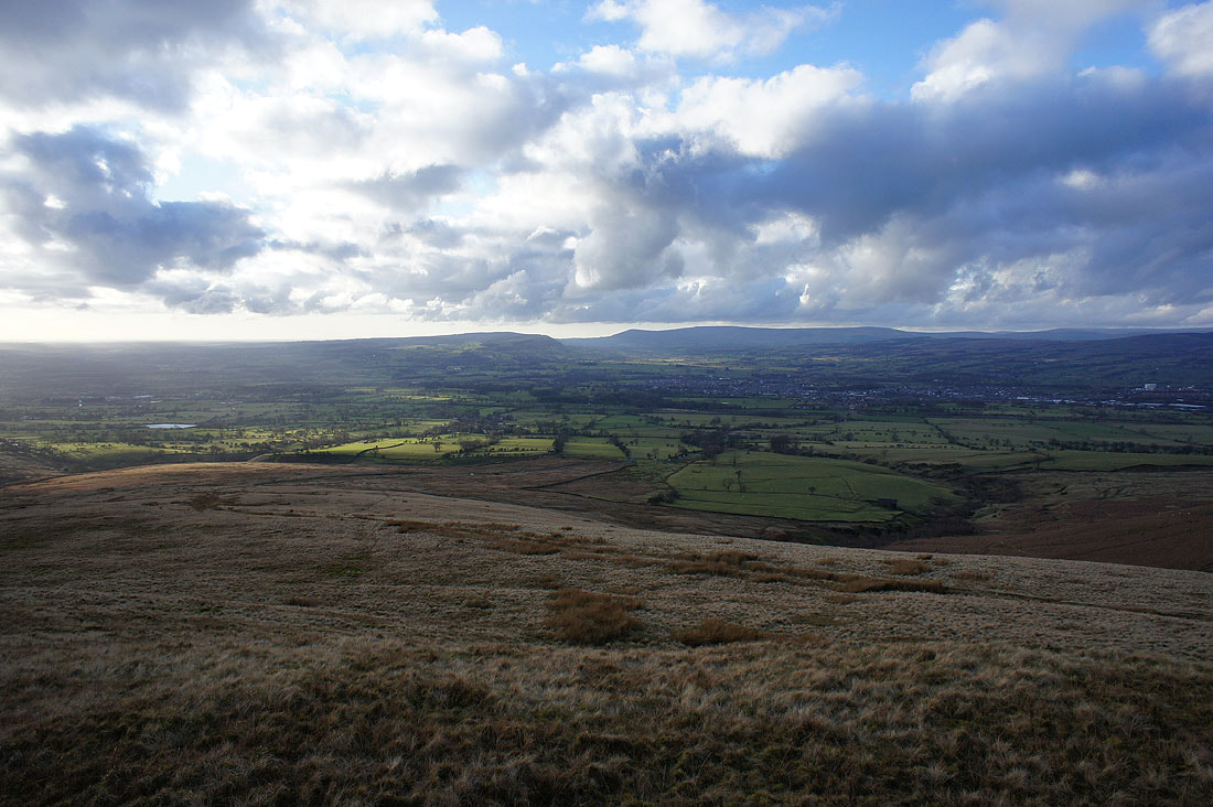
and I now have a view across the Ribble Valley and Clitheroe to Longridge Fell, Parlick, Fair Snape Fell and Totridge in the Forest of Bowland
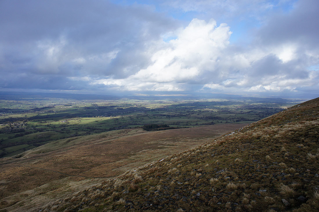
Along with up the Ribble Valley to the Yorkshire Dales
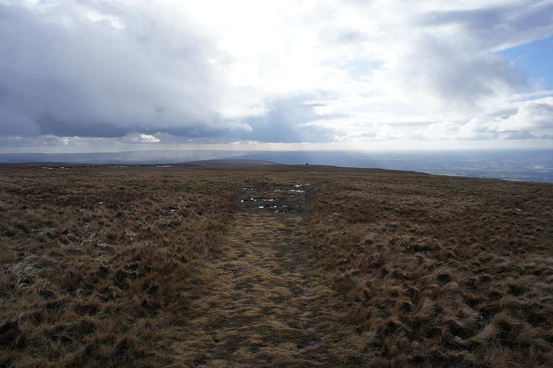
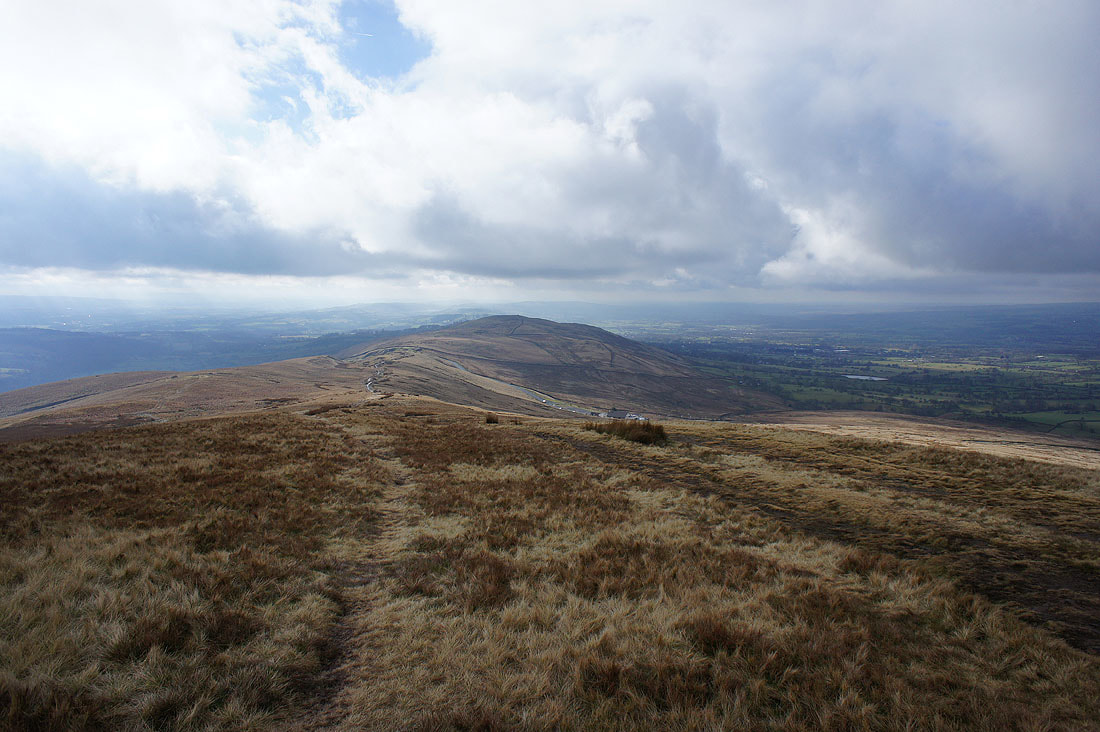
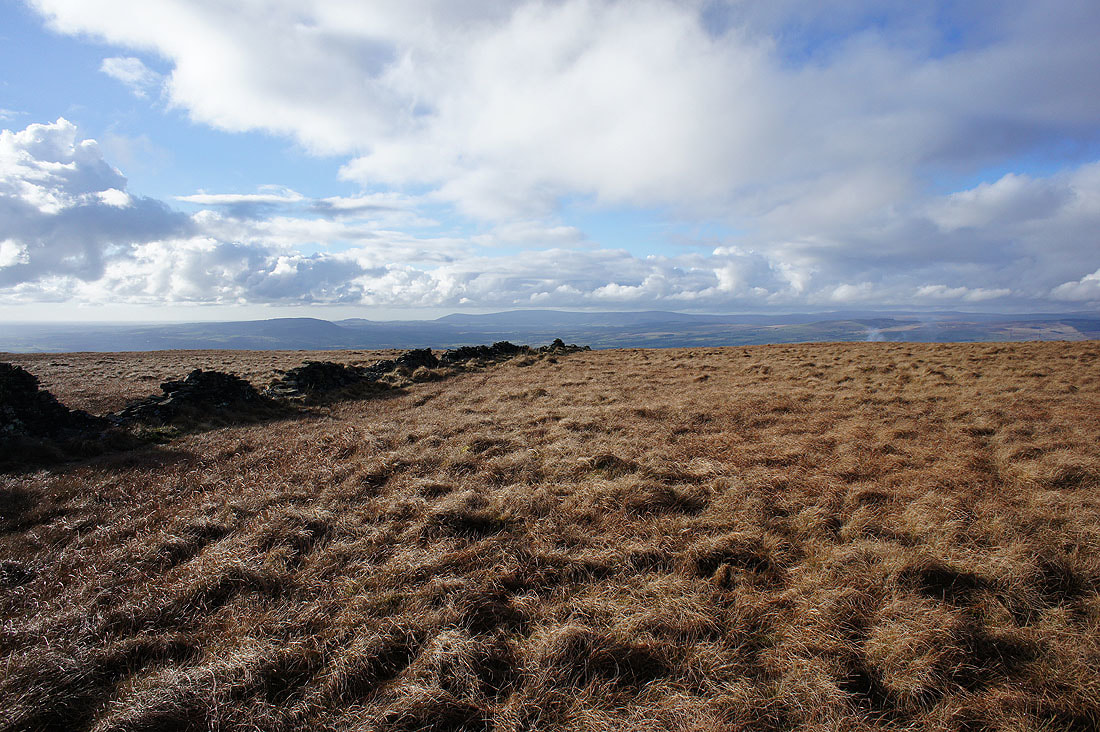
Heading across Worston Moor to the Scout Cairn
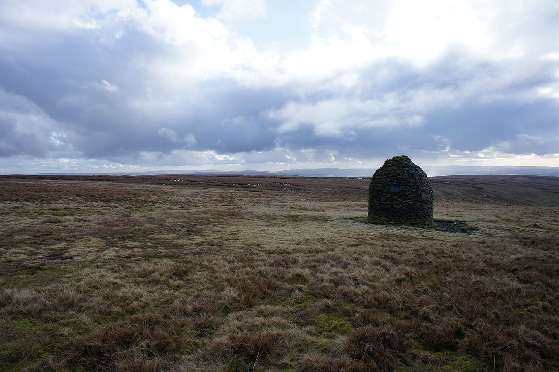
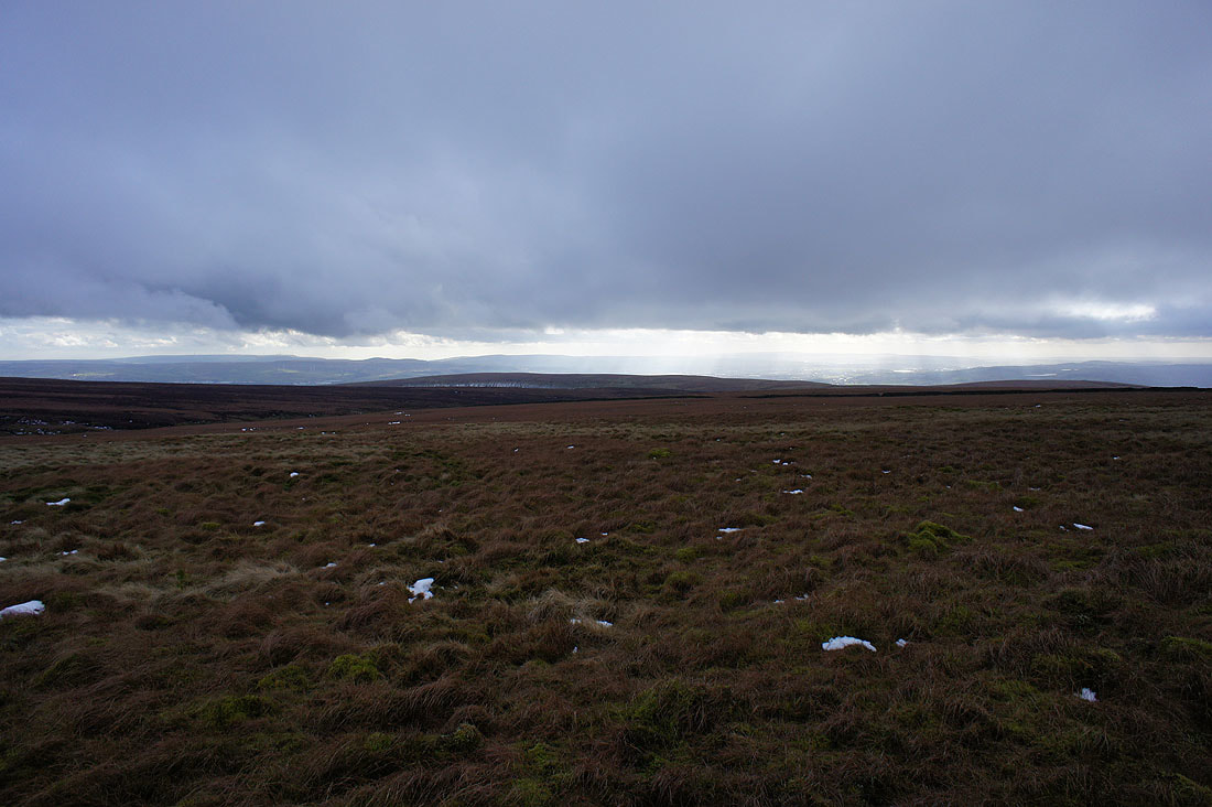
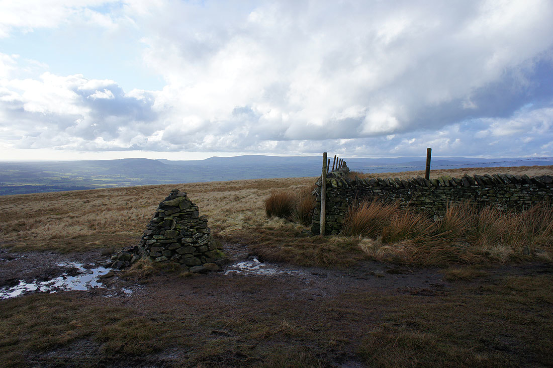
Distant West Pennine Moors from the Scout Cairn
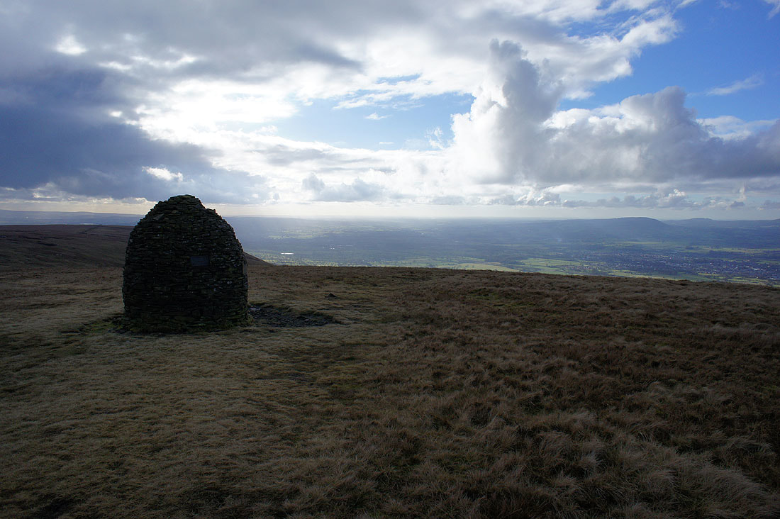
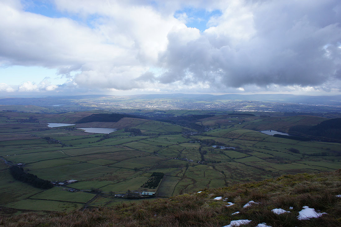
The Ribble Valley
Clitheroe and the fells of the Forest of Bowland
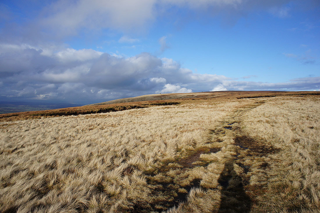
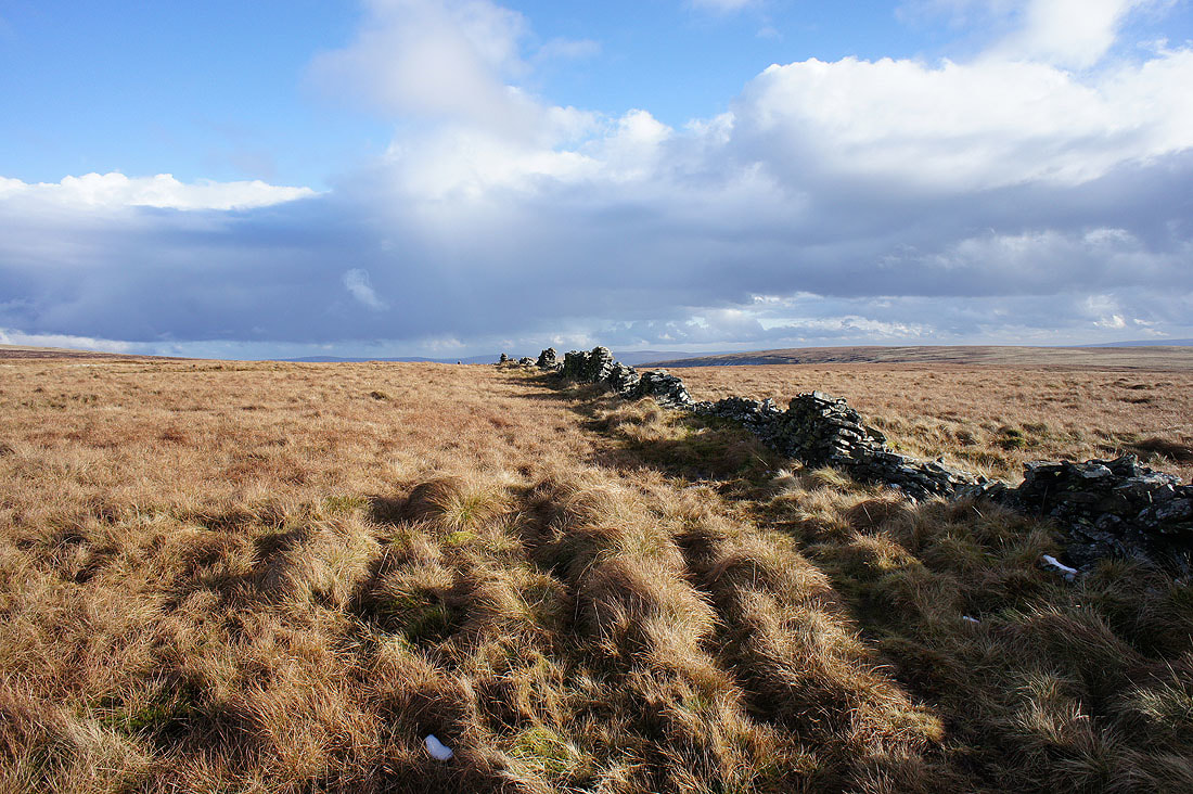
Looking back to Worston Moor from Mearley Moor
The lowering sun is giving a great light as I make my way across Mearley Moor.....
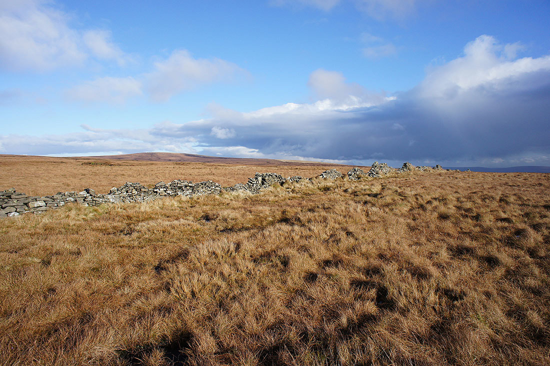
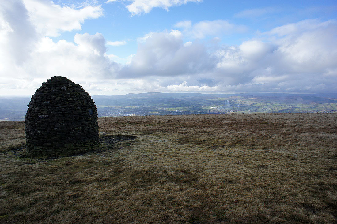
The West Pennine Moors in the distance from the cairn at the end of Mearley Moor
The Ribble Valley
Longridge Fell, Parlick, Fair Snape Fell and Totridge in the Forest of Bowland
Sabden in the valley below..
..and the Ribble Valley and Clitheroe..
..as I head back to the Nick of Pendle
There's a fantastic light on the moor behind me
Sabden and the wooded Black Hill from the roadside at the Nick of Pendle