17th January 2024 - Noyna Hill
Walk Details
Distance walked: 2.2 miles
Total ascent: 477 ft
OS map used: OL21 - South Pennines
Time taken: 2 hrs
Route description: Foulridge-A56-Stony Lane-Skipton Old Road-Noyna Road-Noyna Hill-Noyna Road-Skipton Old Road-Stony Lane-A56-Foulridge
Some snow at last! I was beginning to wonder if I was going to see any more this winter. Unfortunately it's a brief cold snap and it's not going to last until the weekend. One advantage of working the shift that I do is that I'm home by 1430. That means there's still time to get up onto Noyna Hill, which rises to the east of Foulridge, for a walk in the snow and to take in the sunset. I had blue skies, sunshine, and a bitterly cold breeze for taking in the views, and the sunset was worth the wait.
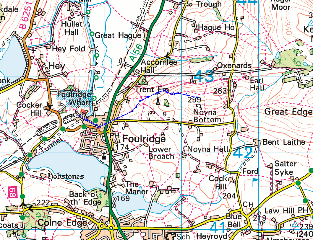
From where I live in Foulridge I made my way up to the A56, crossed it, walked up Stony Lane to Skipton Old Road, turned right to reach the bottom of Noyna Road and a public footpath a short distance uphill on the left. I followed this up onto Noyna Hill and to access land. I returned home by retracing my steps.
Route map
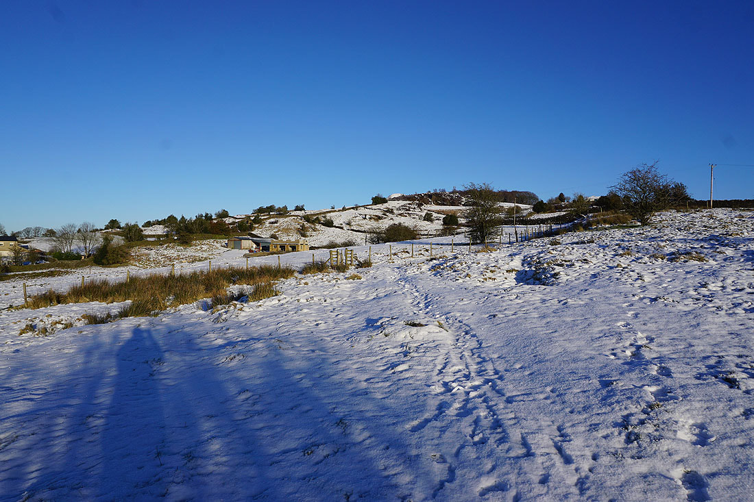
Heading up onto Noyna Hill
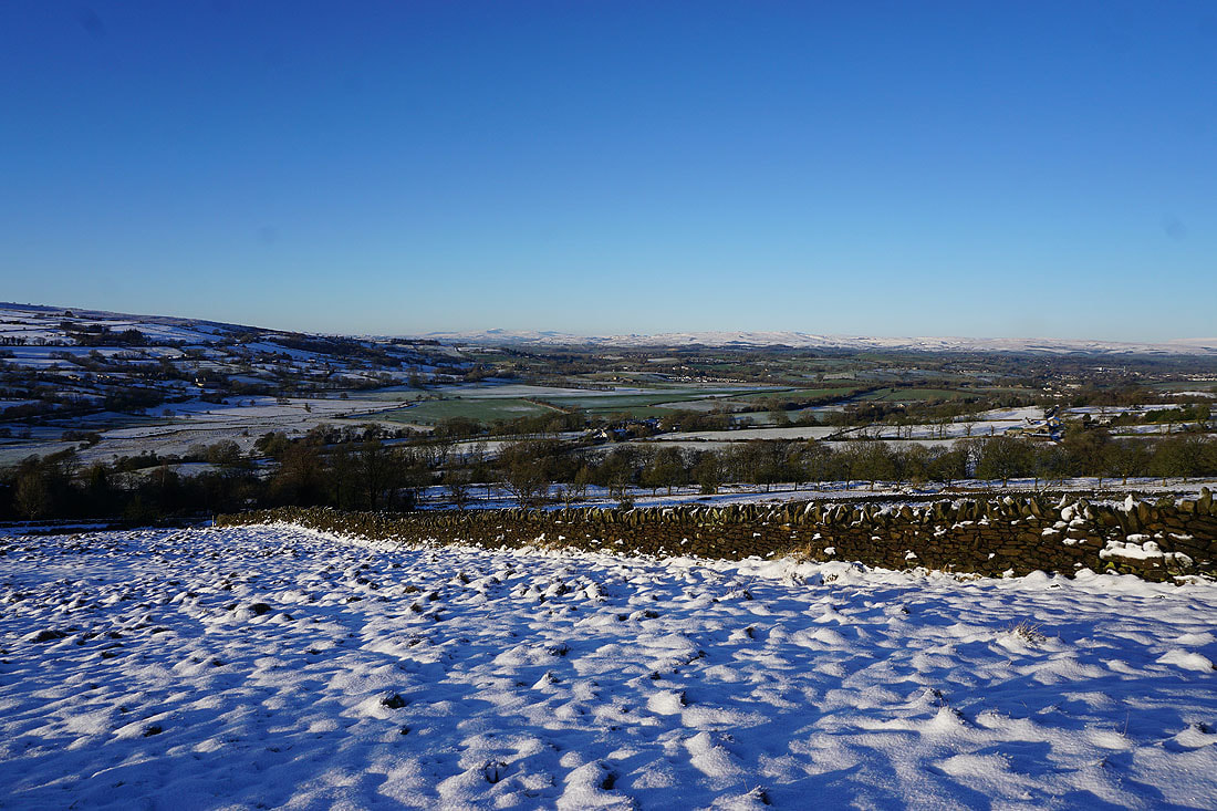
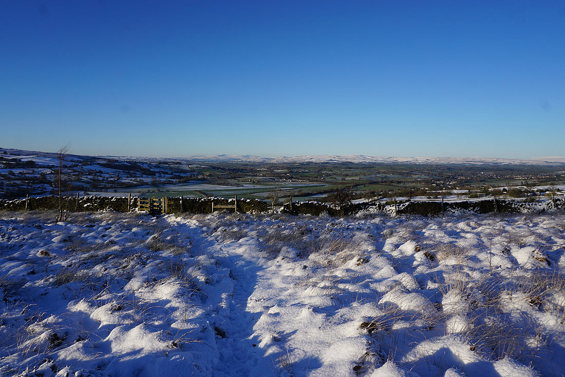
It isn't long before I have a view to Ingleborough and the moors above Settle and Malham in the Yorkshire Dales in the distance
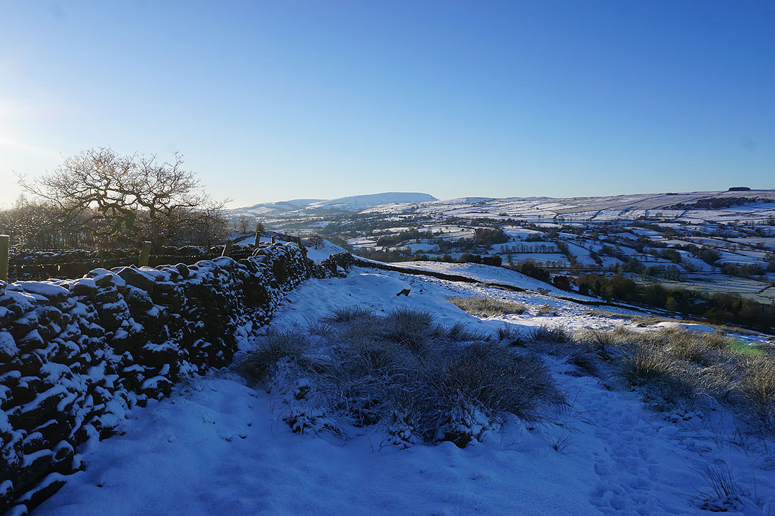
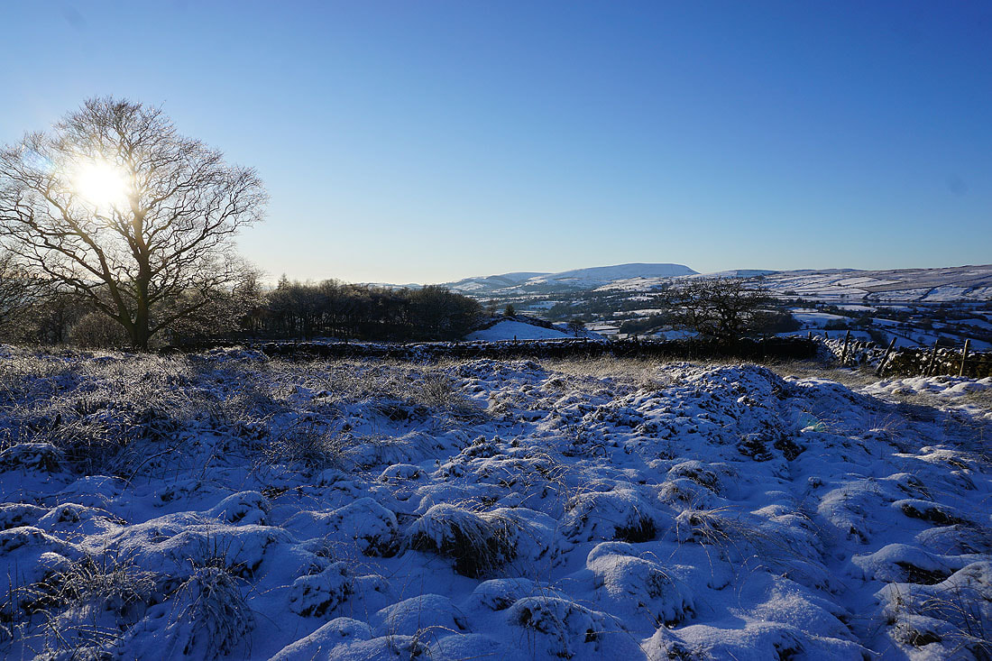
Along with Pendle Hill
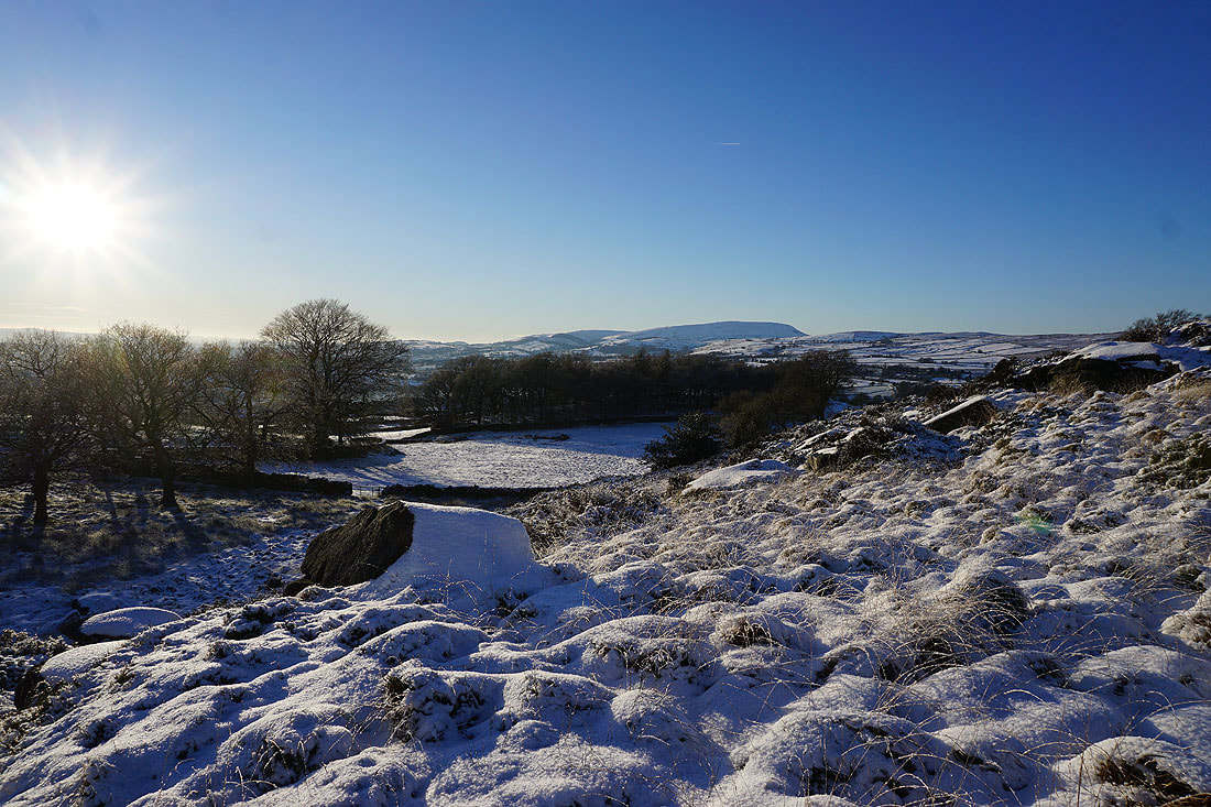
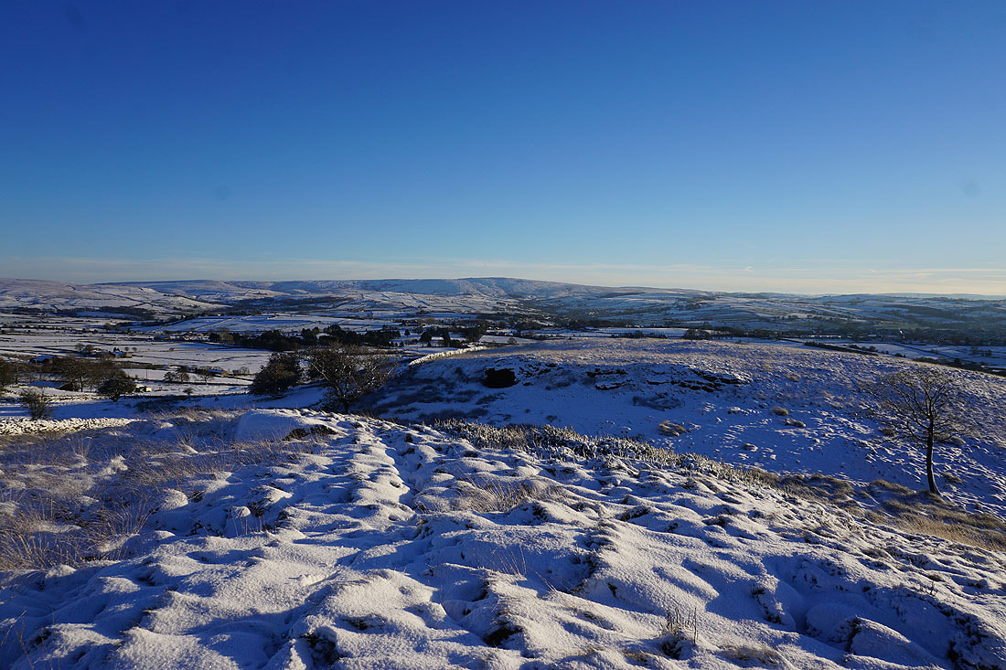
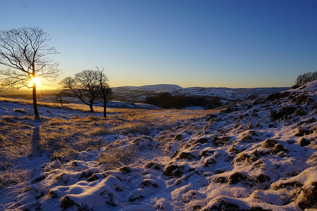
Onto access land on Noyna Hill, and the snow covered tussocks and bare trees will provide a good foreground for some photos
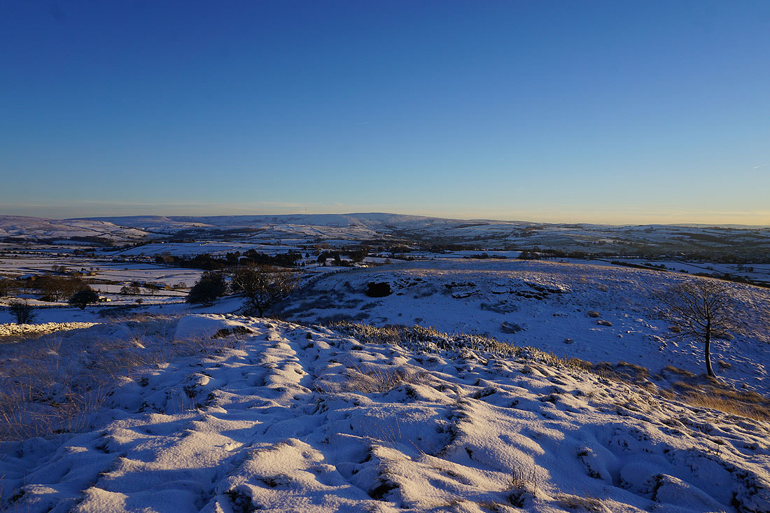
Ingleborough and the moors above Settle and Malham in the Yorkshire Dales in the distance
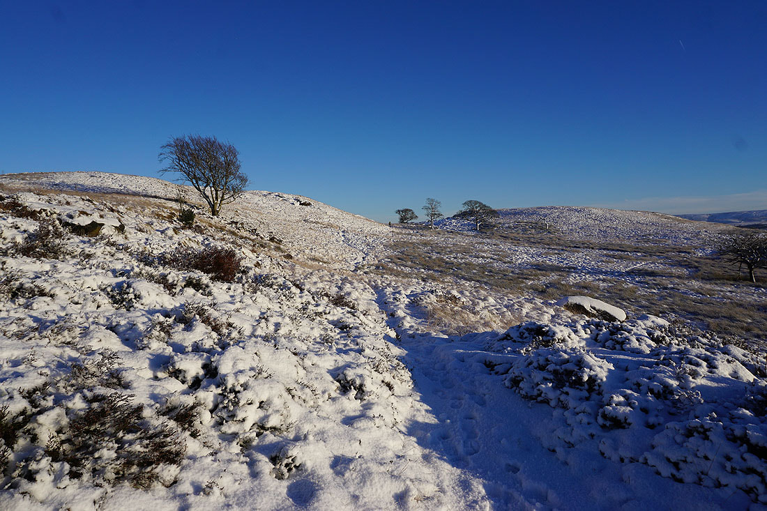
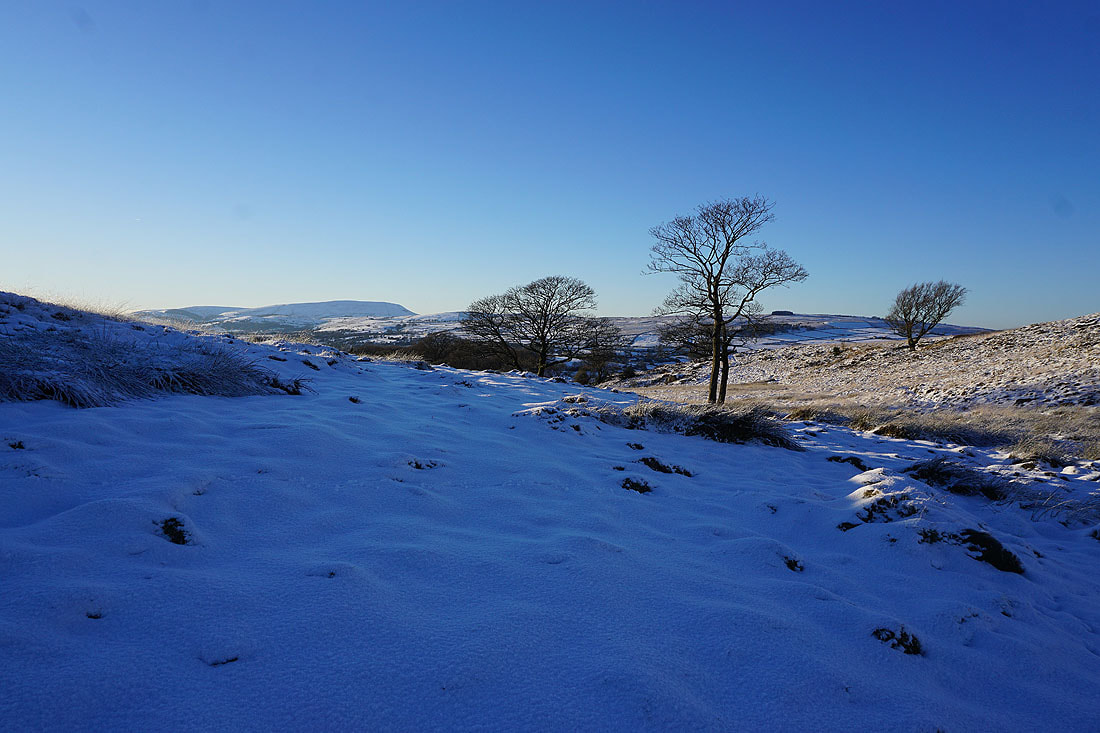
Heading across access land, and I'm going to the top of the hill on the left first, then the one on the right
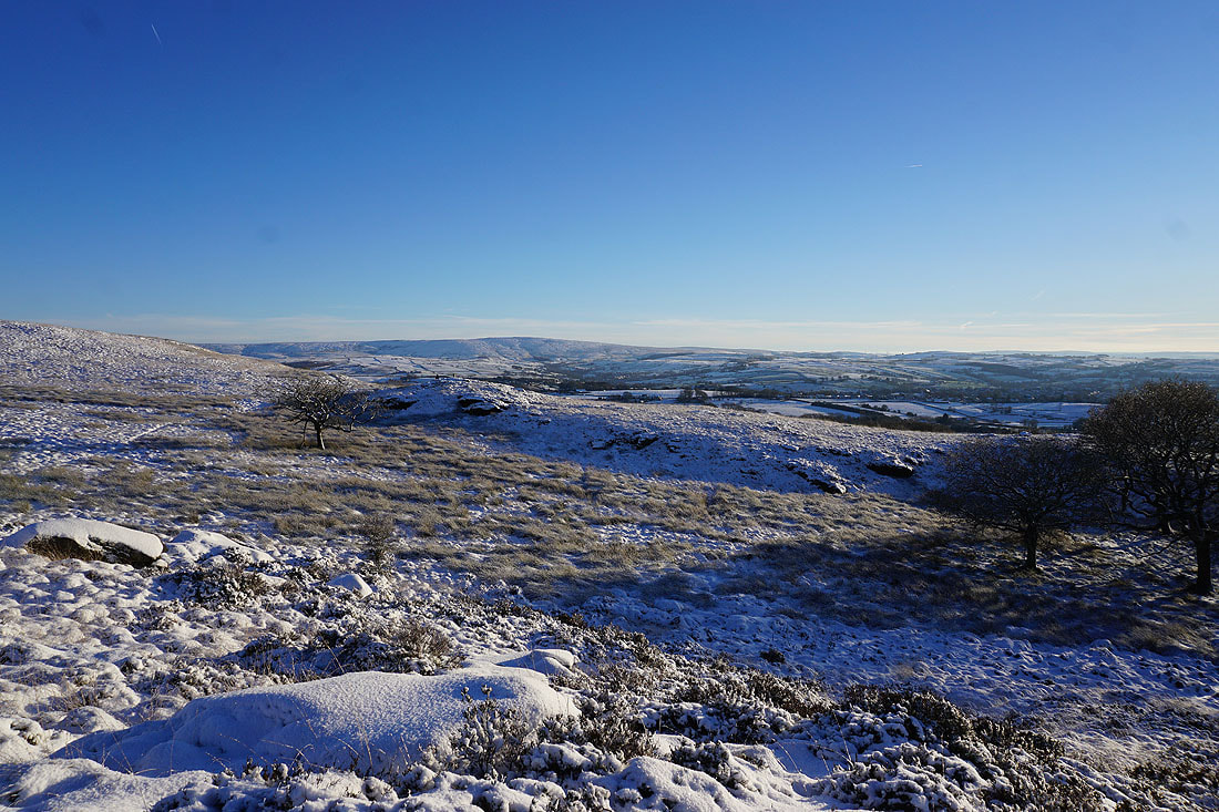
To my right, Boulsworth Hill in the distance
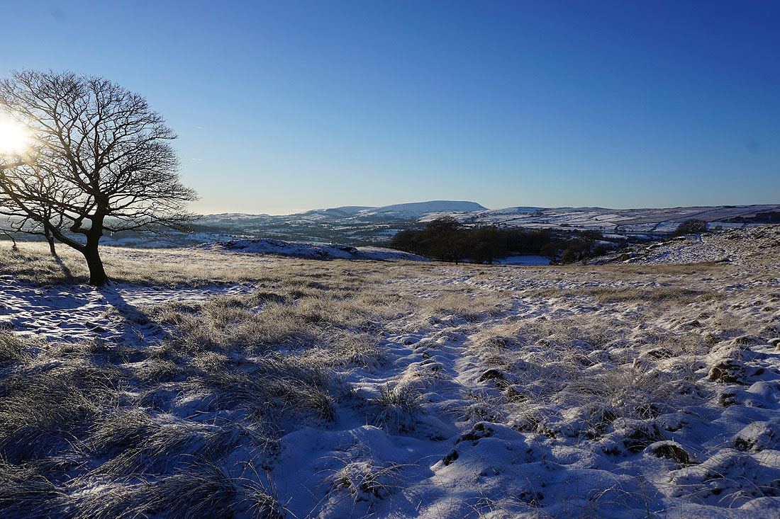
Views across to Pendle Hill...
Taking in the view across to Pendle Hill from the spot that I usually do on access land on Noyna Hill
Boulsworth Hill and the Forest of Trawden to the south
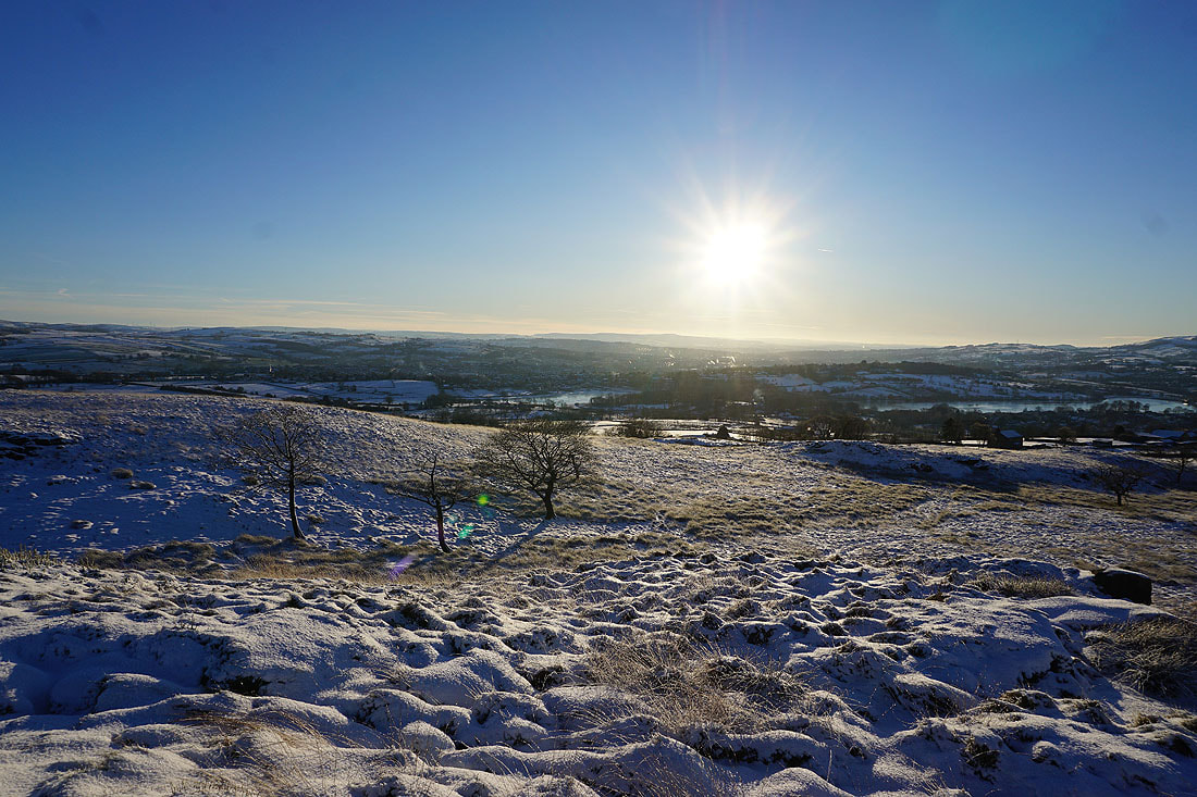
Looking across the rooftops of Colne to the moors above Burnley in the distance
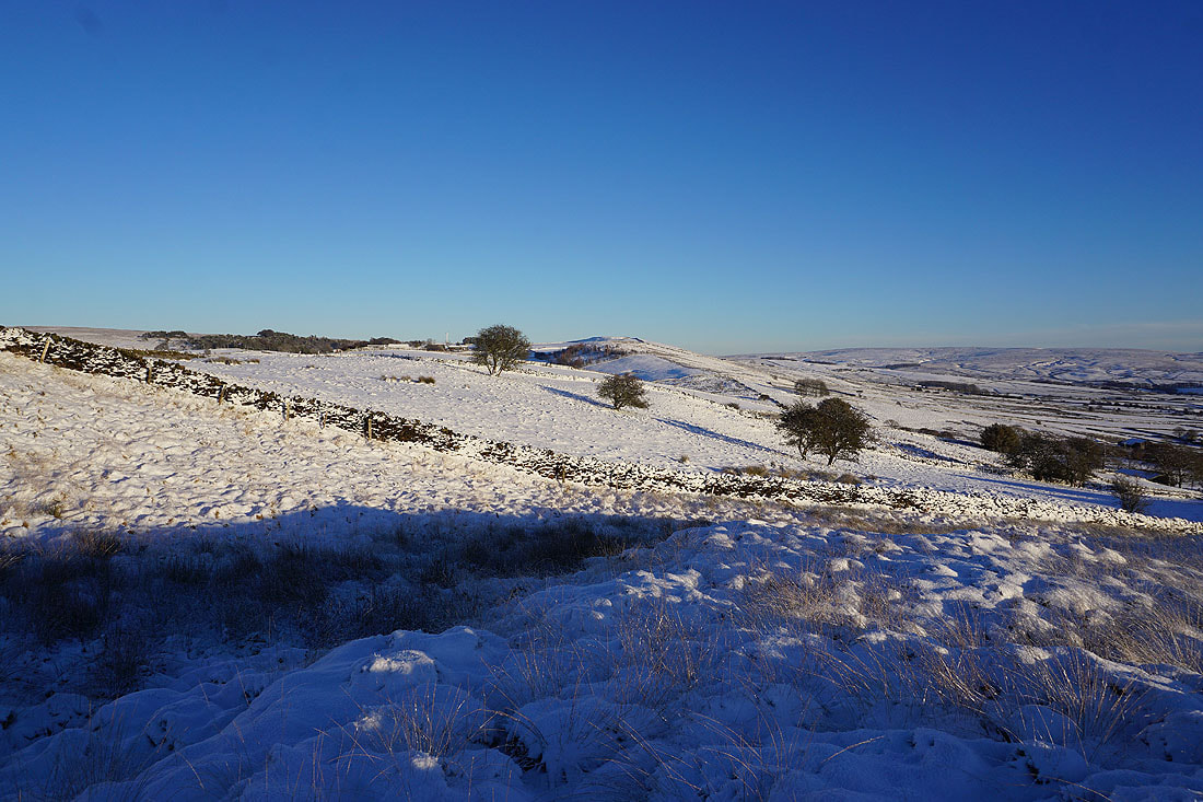
Great Edge to the east beyond the rest of Noyna Hill
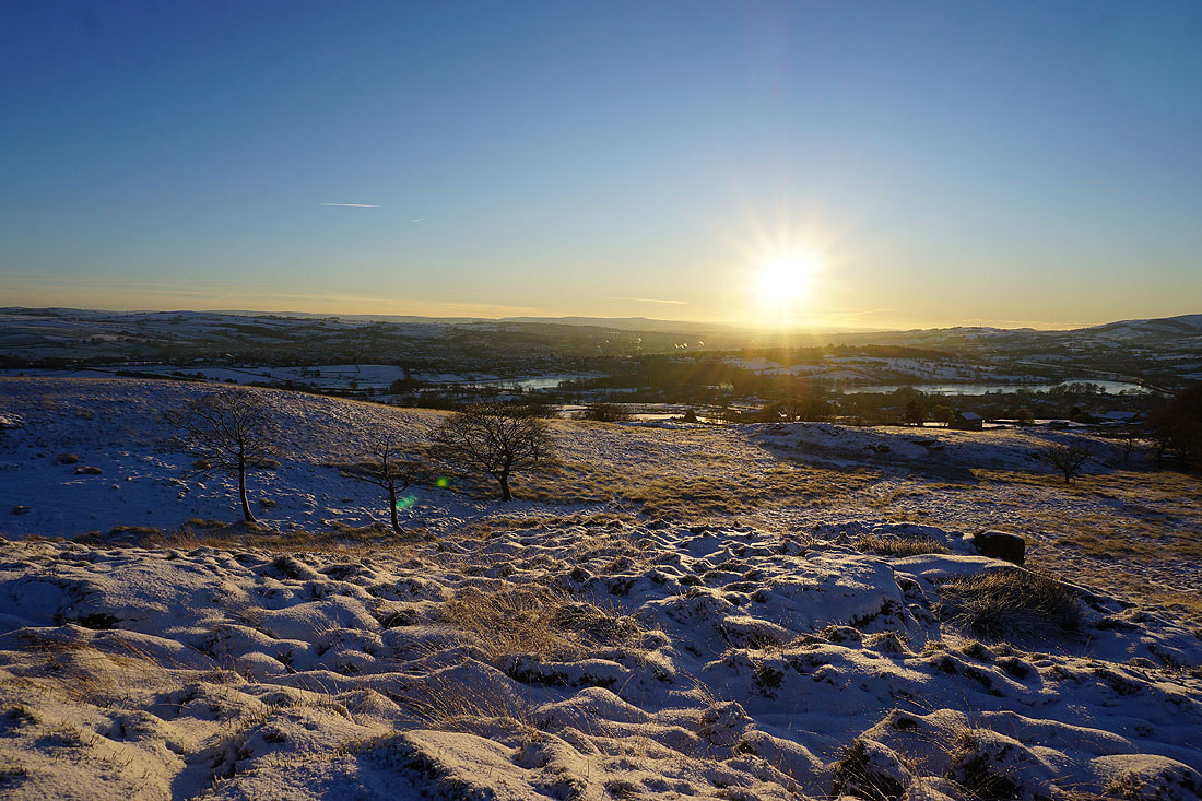
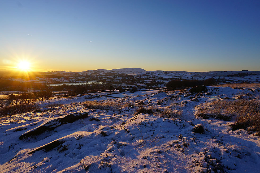
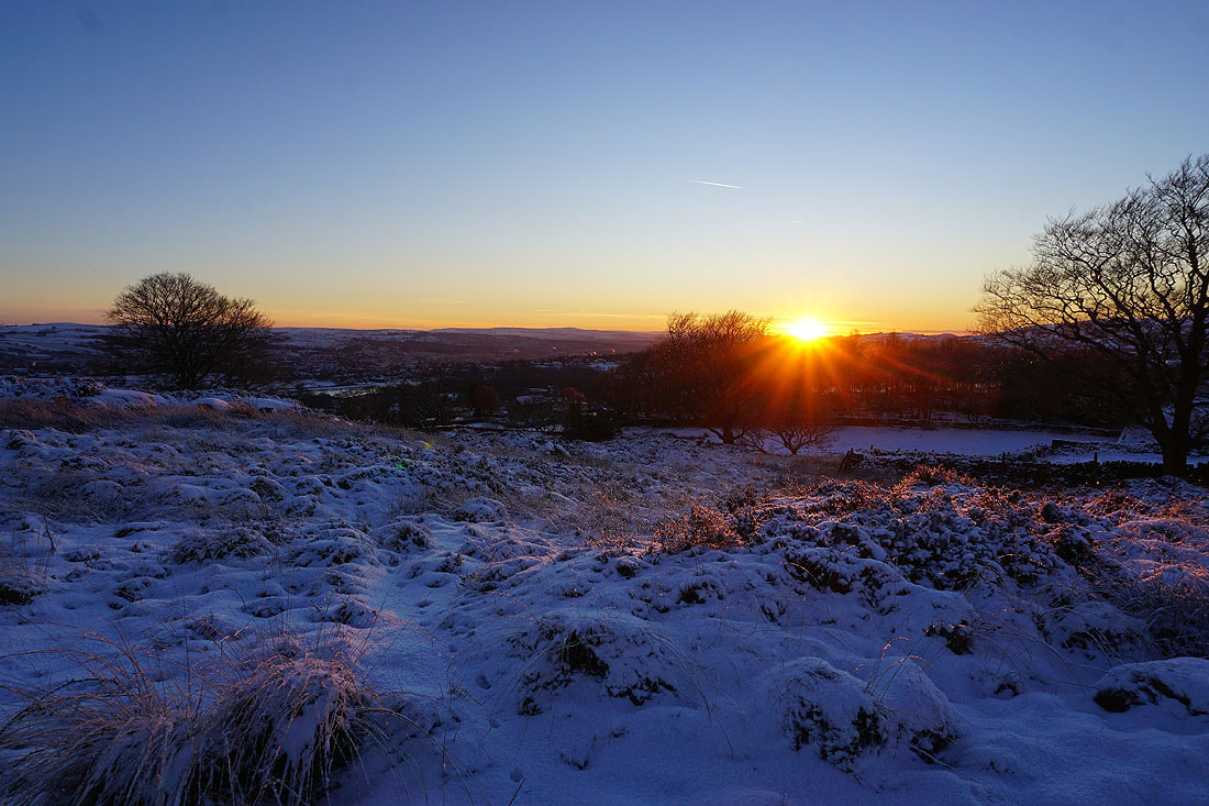
Twenty five minutes later and the sun is close to setting. There's a golden light on the moorland grass...
Ten minutes later, and a last shot from the top of this hill. I'm going to go across to the other one.
I can't resist taking a couple of photos while I'm on my way there..
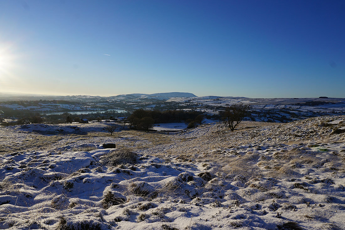
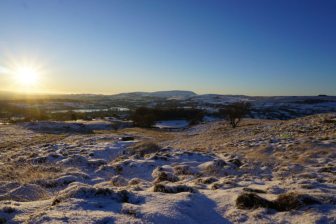
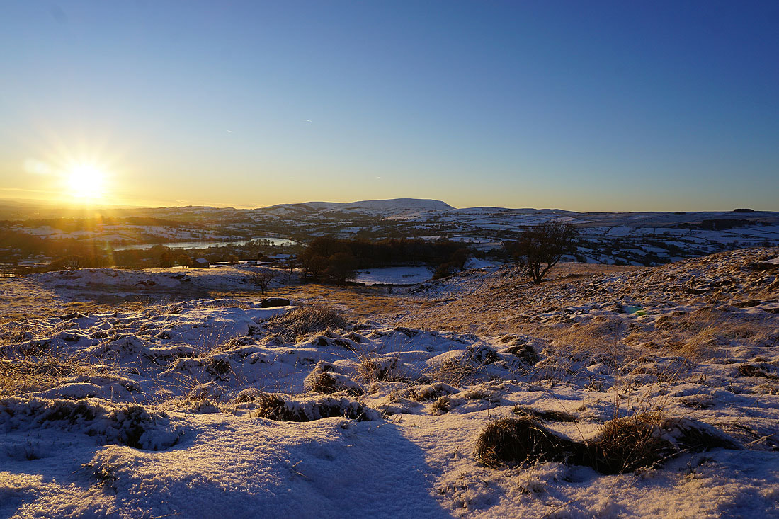
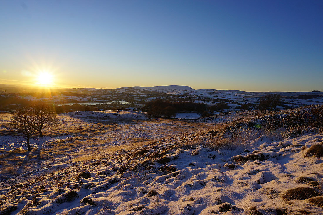
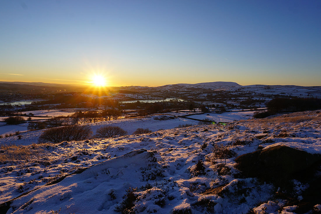
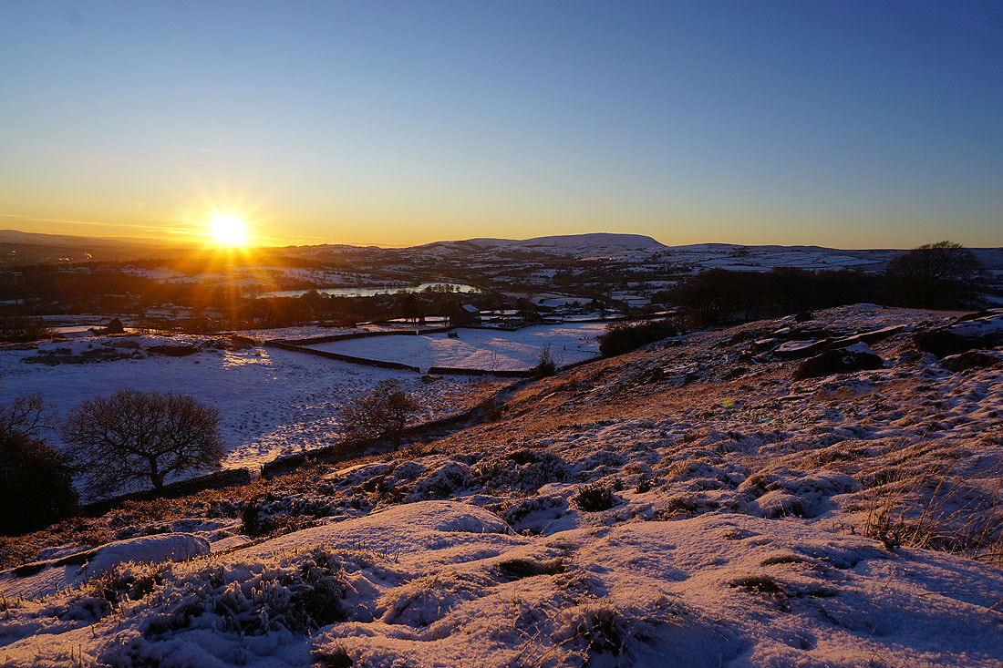
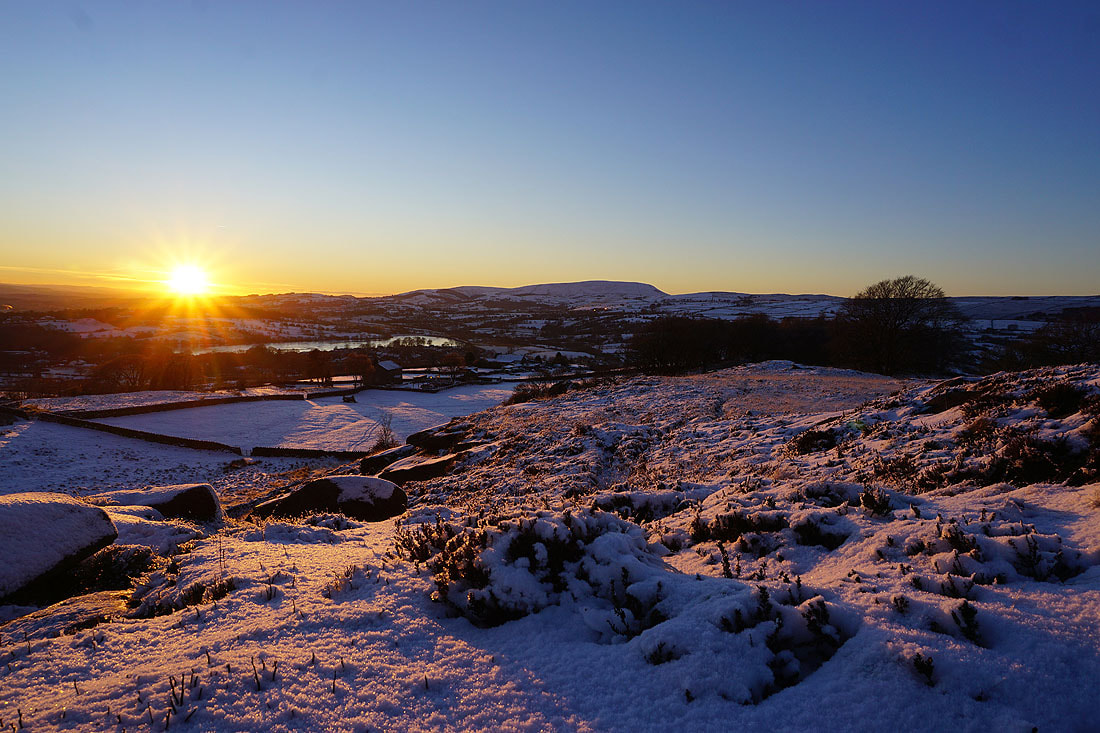
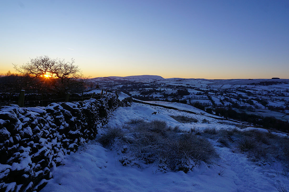
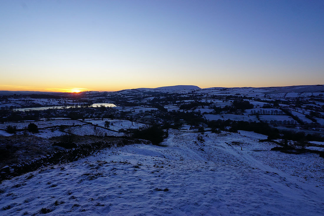
Foulridge Lower Reservoir, Foulridge, Pendle Hill, and White Moor from Noyna Hill as the sun sets....
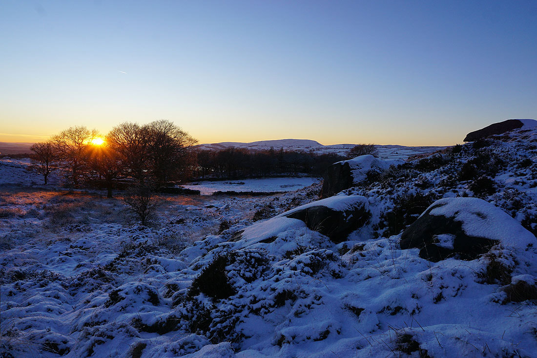
The sun sets as I make my way off access land..
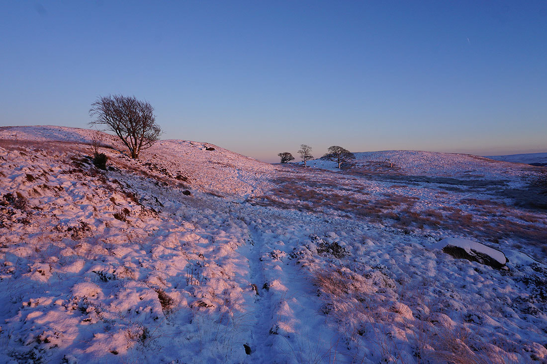
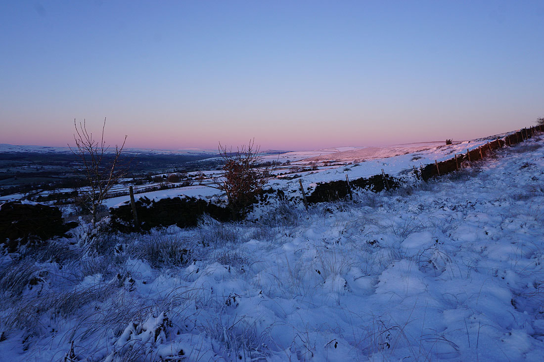
..and bathes the moor behind me in a rosy pink light
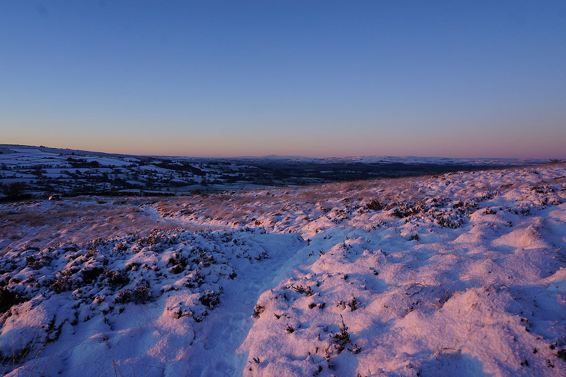
Ingleborough in the distance
and looking across the roofs of Colne to the moors above Burnley
The last of the sun on Bleara Moor and Kelbrook Moor
Pendle Hill in the distance as I leave access land
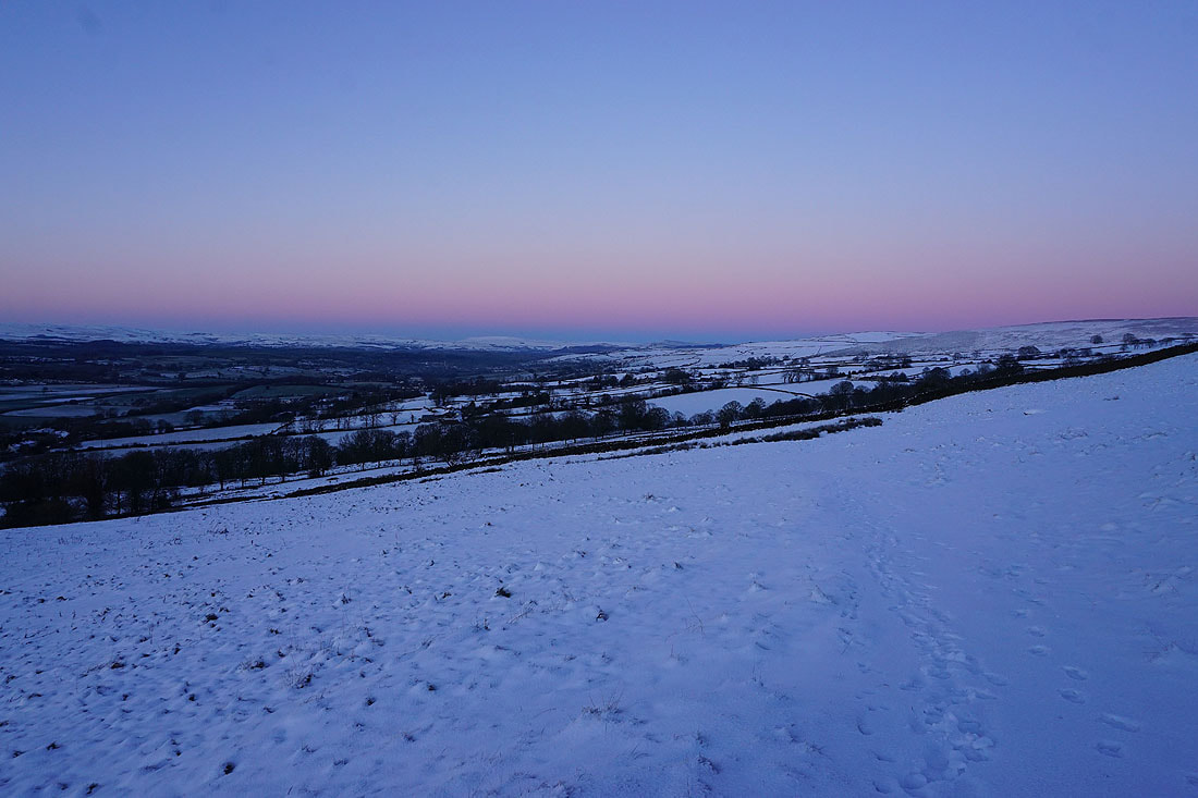
Just to the left of centre I can make out Great Whernside in the distance
Heading back down to Foulridge and home
