17th June 2018 - Longshaw to Stanage Pole
Walk Details
Distance walked: 12.5 miles
Total ascent: 1740 ft
OS map used: OL1 - The Peak District, Dark Peak area
Time taken: 6 hrs
Route description: NT Longshaw Estate car park-Hathersage Road-Burbage Rocks-Upper Burbage Bridge-Stanage Edge-High Neb-Stanage Edge-Stanage Pole-Redmires Reservoirs-White Stones-Fulwood Lane-Brown Edge Farm-Ringinglow Road-Ox Stones-Houndkirk Road-Hathersage Road-NT Longshaw Estate car park
What's this? No wall-to-wall blue skies, sunshine and warmth? For the first time in many weeks I had to make a decision about where was the best area to go to and be prepared for less than clement weather. Today is the best day of the weekend and I decided to do this walk in the Peak District that would hopefully keep me in good weather for longer than staying local or going to the Dales would. Starting from the Longshaw Estate was a new way of reaching Stanage Edge and the route also gave me the chance to visit Stanage Pole and the trig point on Ox Stones. I set off from Longshaw in the morning with a little bit of blue sky and sunshine around but going into the afternoon it became quite grey and overcast and it was threatening to start to rain by the time I made it back to the car park.
From the NT Longshaw Estate car park I followed a path west by the Hathersage Road towards Burbage Bridge to take the footpath north along the top of Burbage Rocks to Upper Burbage Bridge. I then crossed the road and made my way to the trig point at the southern end of Stanage Edge before heading north along the edge to the trig point at High Neb. I found a spot away from the edge and relatively sheltered from the wind to stop for lunch. Time to head back south. I retraced my steps to the Long Causeway and I followed this byway away from the edge to reach Stanage Pole and then Redmires Reservoirs. A concessionary path leaves the track that heads anticlockwise around the western reservoir (not exactly as it appears on my OS map) to make its way south then east past White Stones to Fulwood Lane. I briefly walked east along Fulwood Lane before taking the footpath south through Brown Edge Farm and across Brown Edge to Ringinglow Road. Across the road I took the byway south, with a there and back to Ox Stones, before turning right to follow the byway of Houndkirk Road south to reach Hathersage Road. I then had a walk along the verge to the Fox House Inn and back to the car park.
Route map
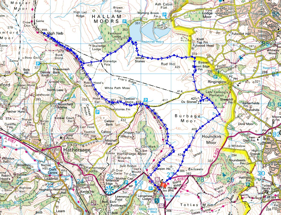
© Crown copyright. All rights reserved. License number PU 100034184.
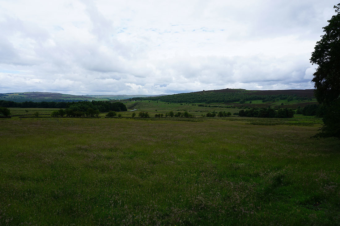
Looking across to Mother Cap and Over Owler Tor as I leave the Longshaw Estate
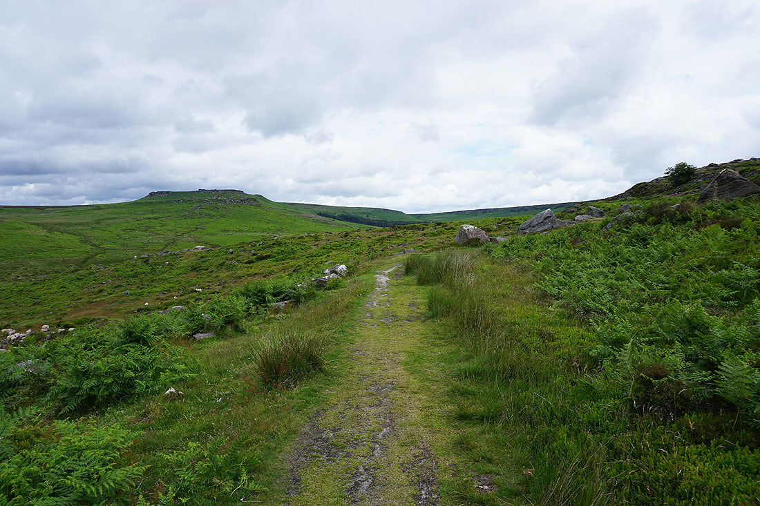
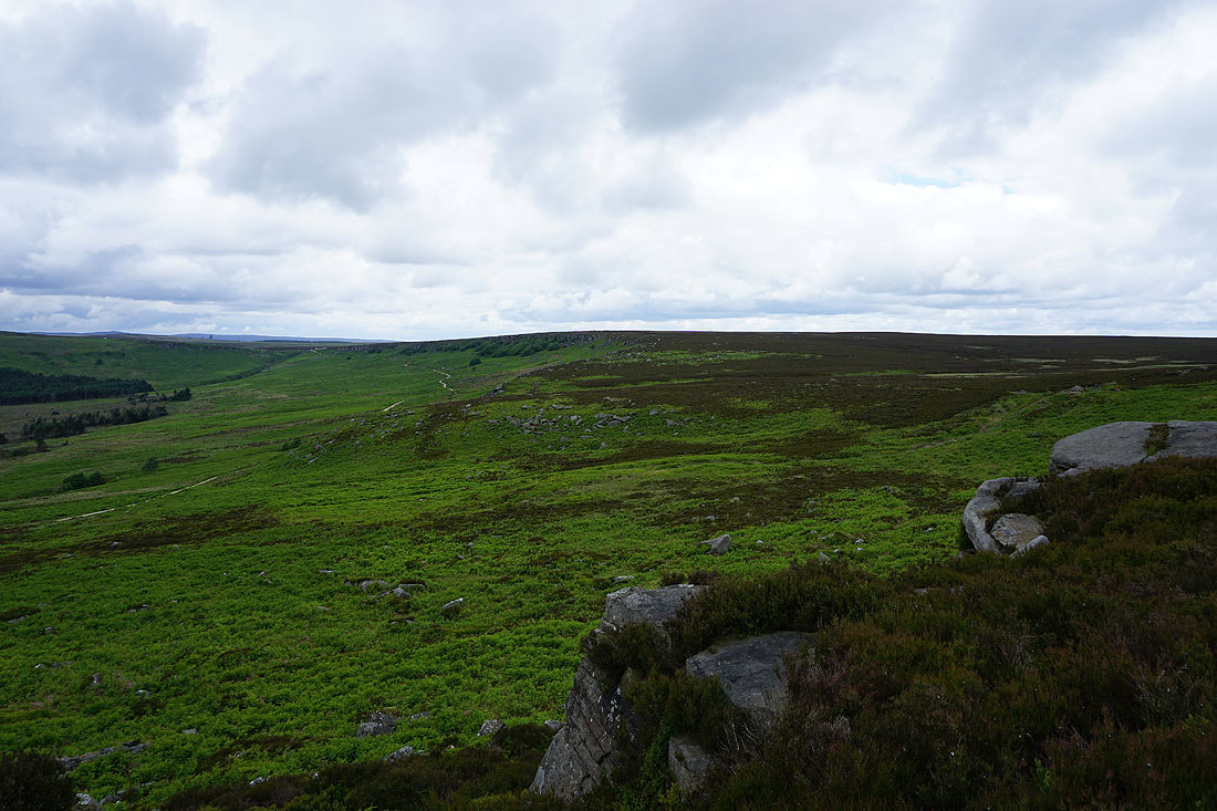
I'm soon onto the path that runs along the western edge of Burbage Moor
Eyam Moor in the distance on the left, Mother Cap and Over Owler Tor
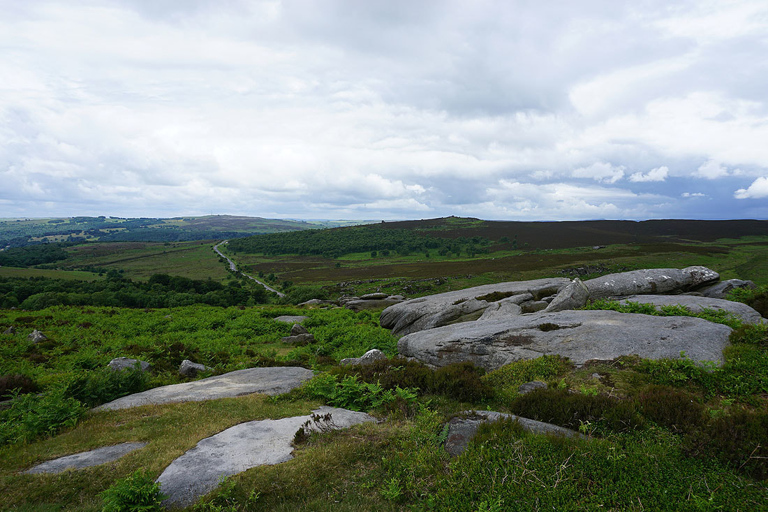
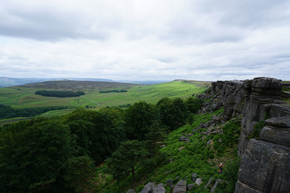
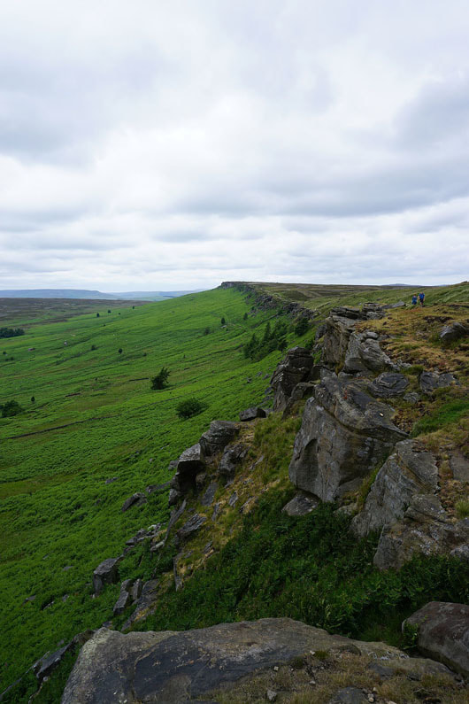
Looking north along Burbage Rocks
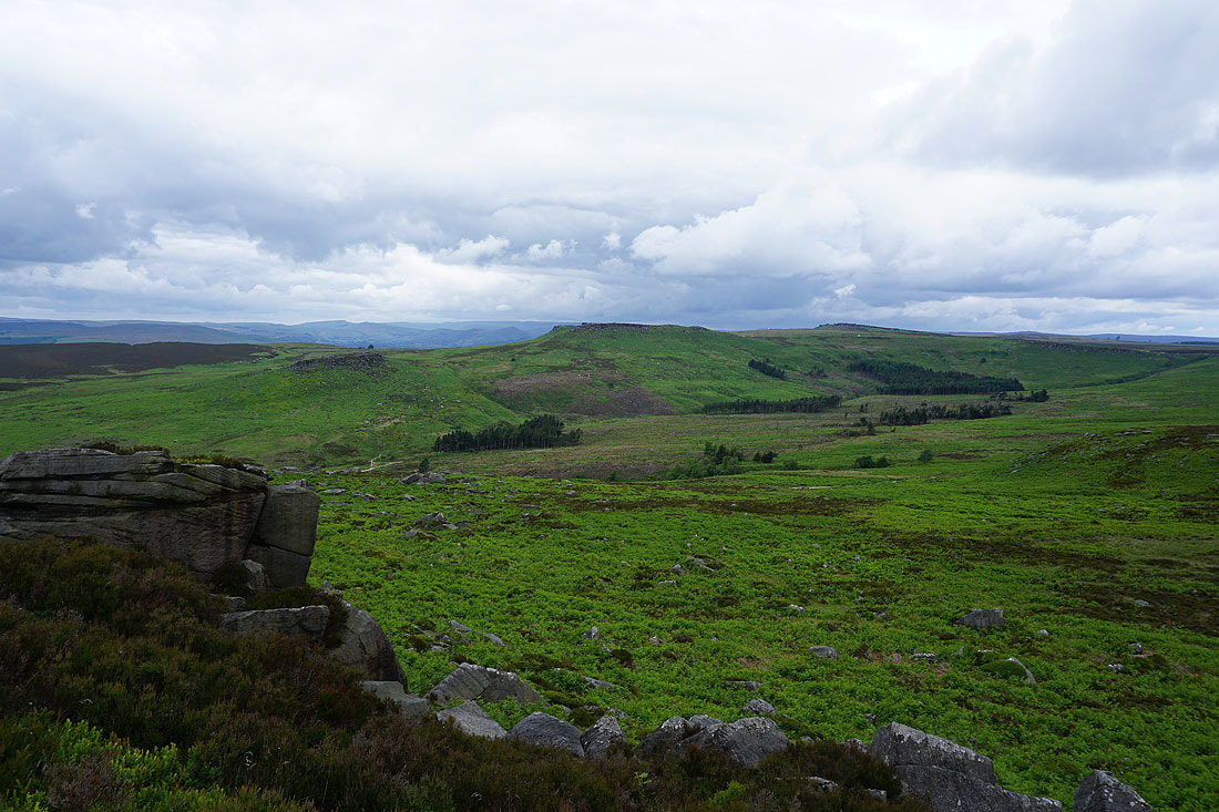
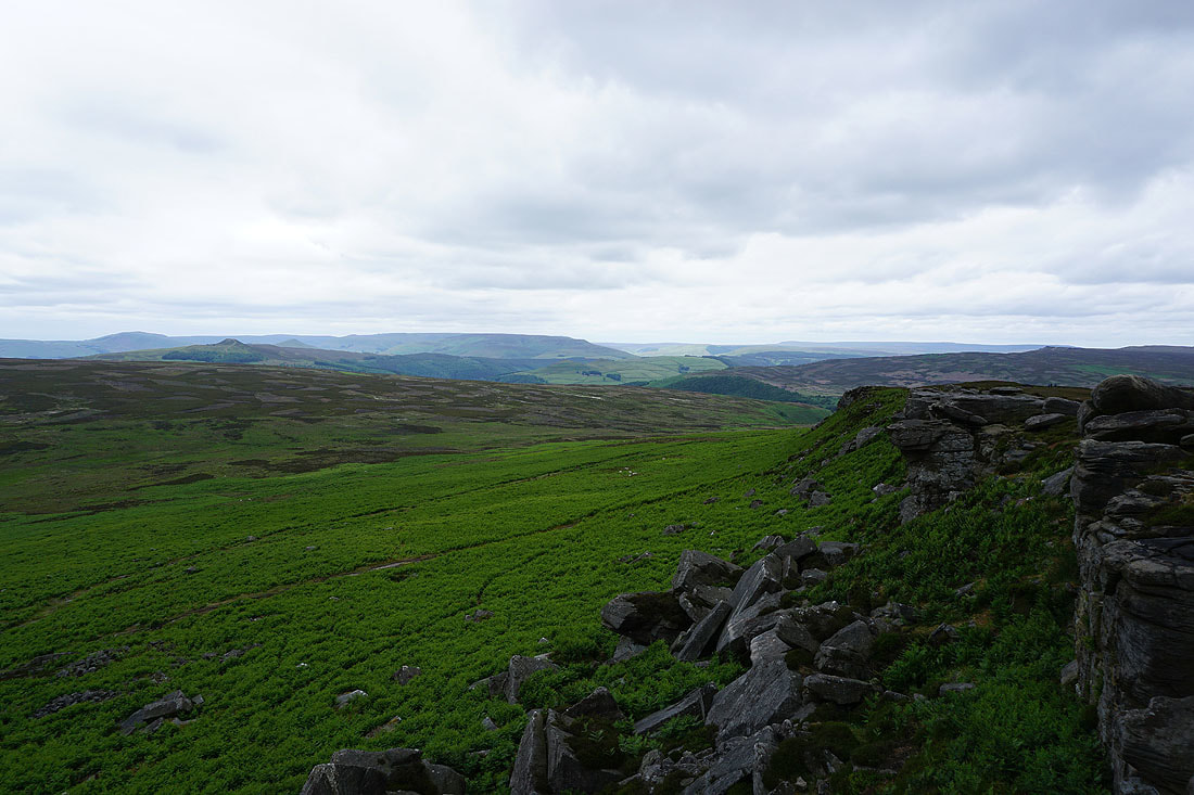
Carl Wark and Higger Tor with the Hope Valley in the distance to their left
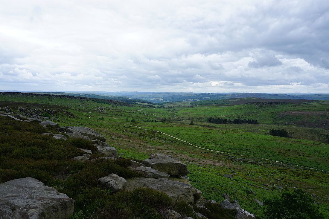
Looking south down Burbage Brook and into the Derwent Valley
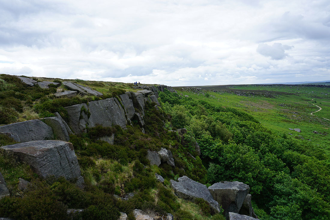
Burbage Rocks..
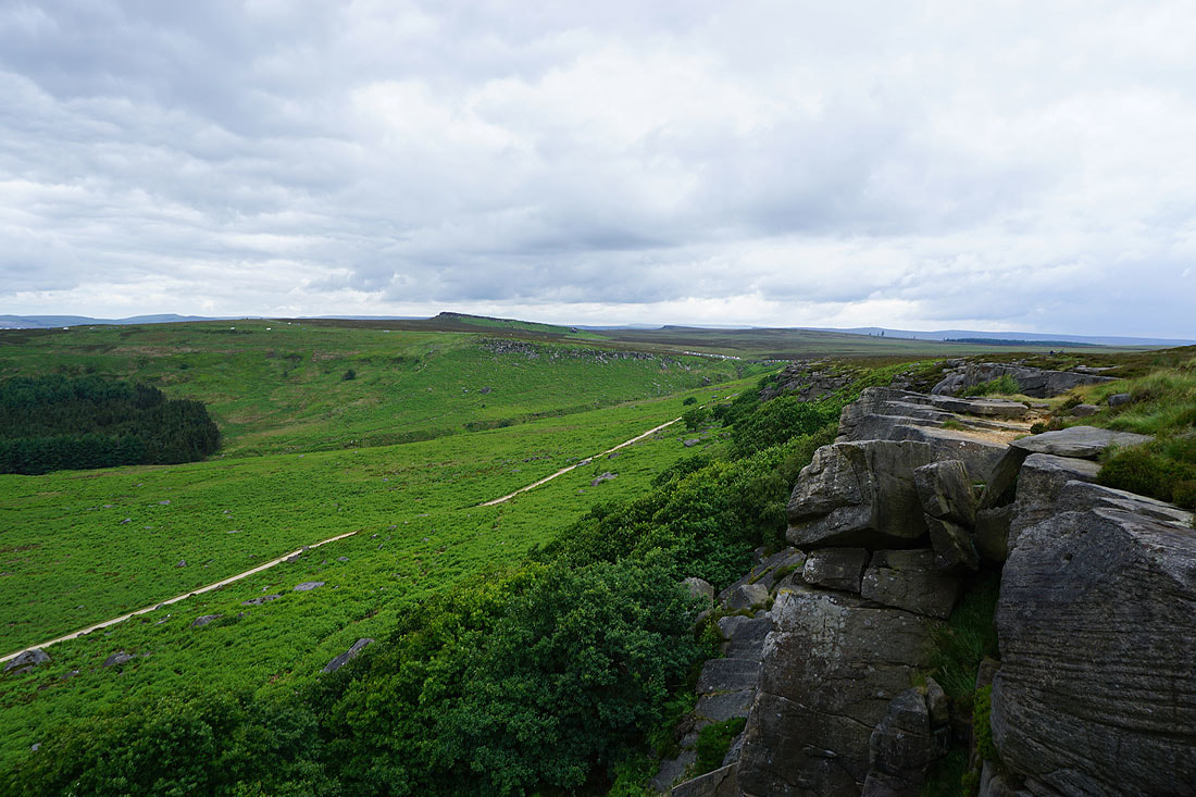
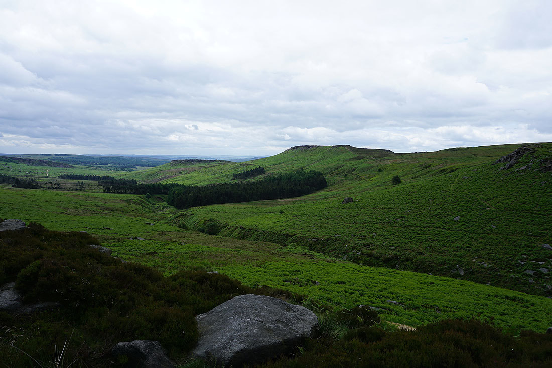
Carl Wark and Higger Tor
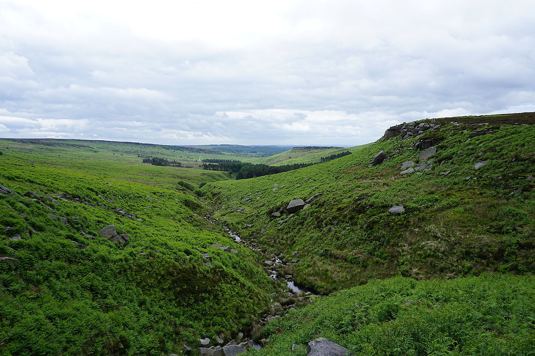
Burbage Brook from Upper Burbage Bridge
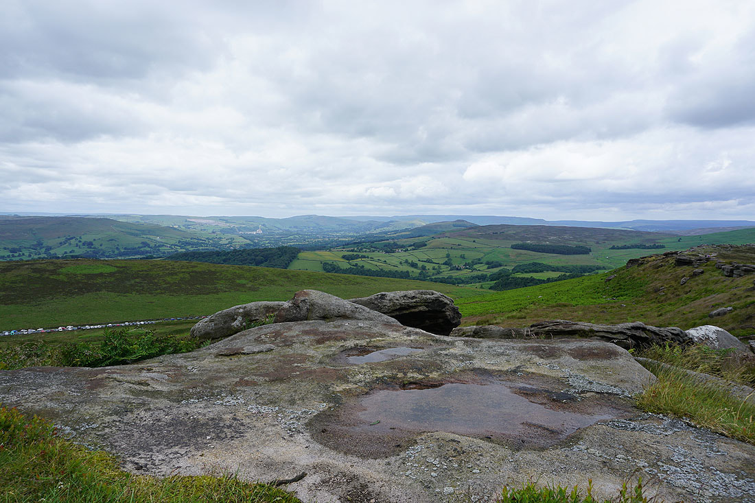
Over Owler Tor, Millstone Edge and the Derwent Valley as I reach the southern end of Stanage Edge
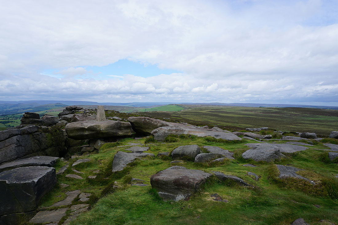
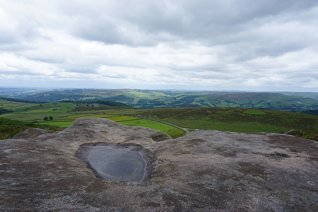
The trig point at the southern end of Stanage Edge. The little bit of blue sky and sunshine makes a big difference...
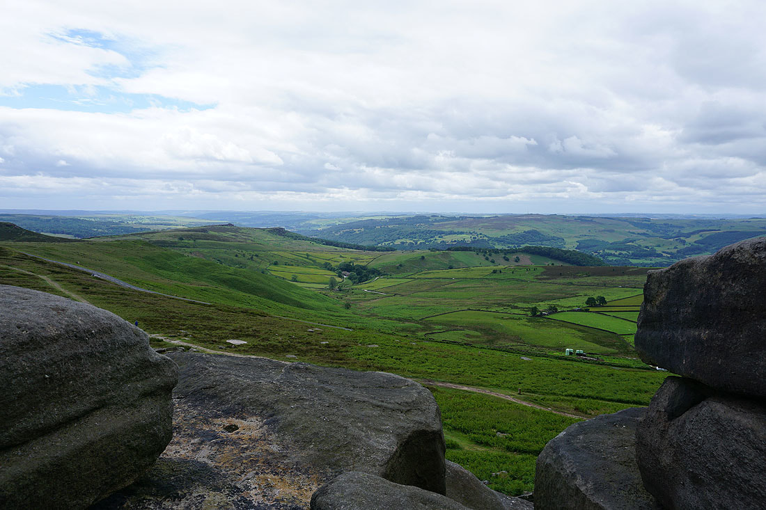
Looking across the Derwent Valley to Eyam Moor and Offerton Moor
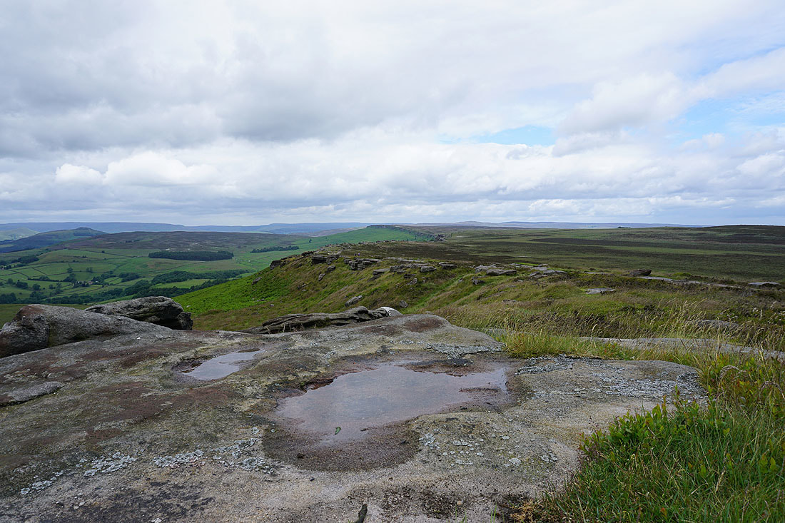
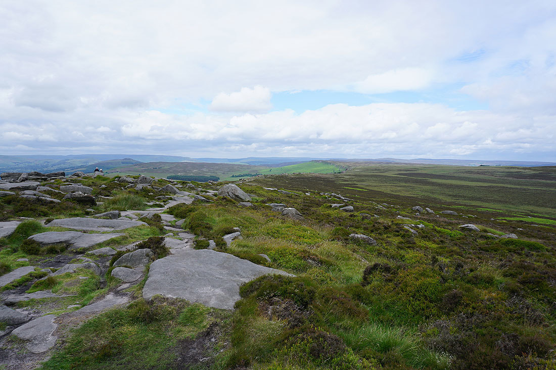
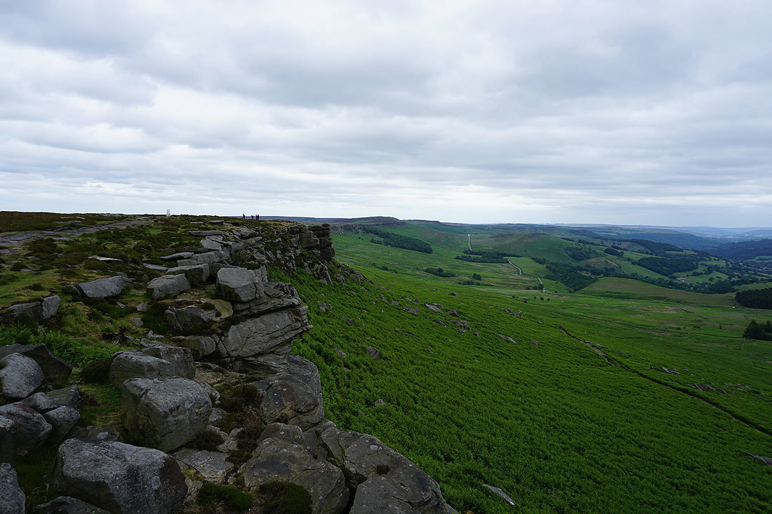
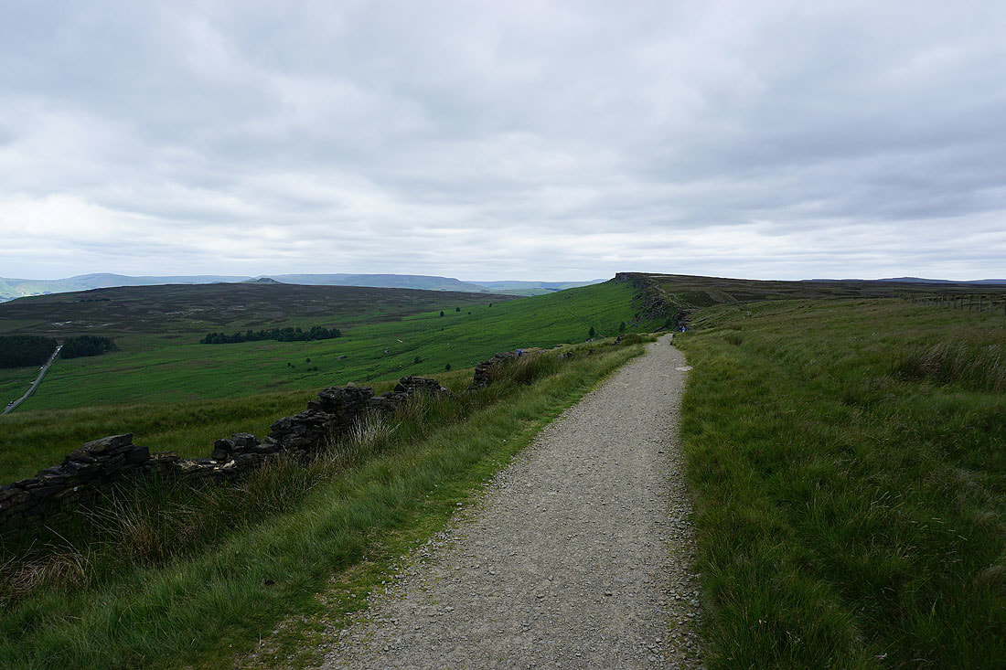
Great views along the edge and across the Hope and Derwent valleys...
Looking north along Stanage Edge..
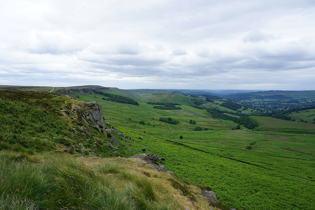
..and back south
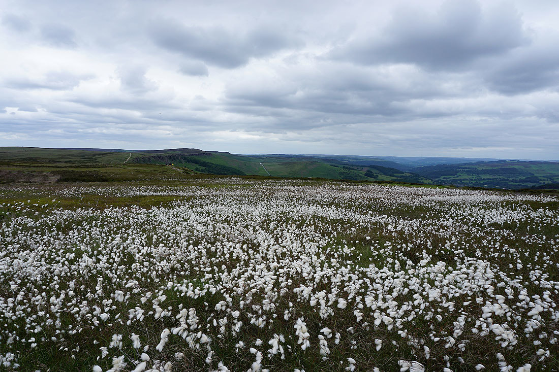
A sea of cotton grass brightens up what is becoming a rather dull afternoon
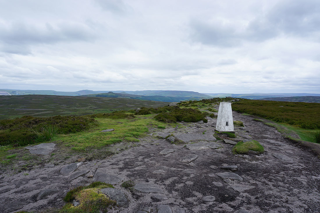
At the trig point on High Neb
Mam Tor, Win Hill and Kinder Scout in the distance
High Neb and Stanage Edge
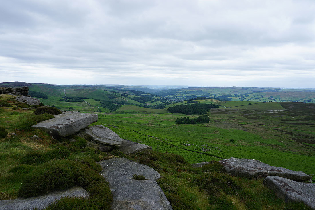
Back the other side of the trig point to look down the Derwent Valley and south along Stanage Edge..
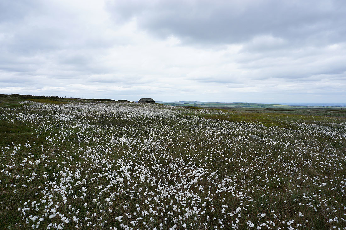
Cotton grass and shooting hut
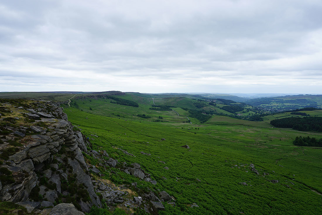
Mam Tor, Bamford Moor, Kinder Scout and High Neb from the Long Causeway
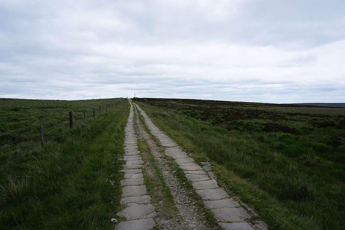
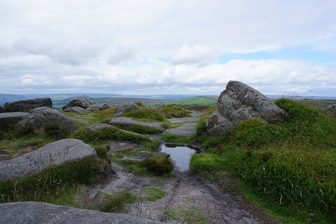
Heading along the Long Causeway to Stanage Pole
Looking back along the Long Causeway
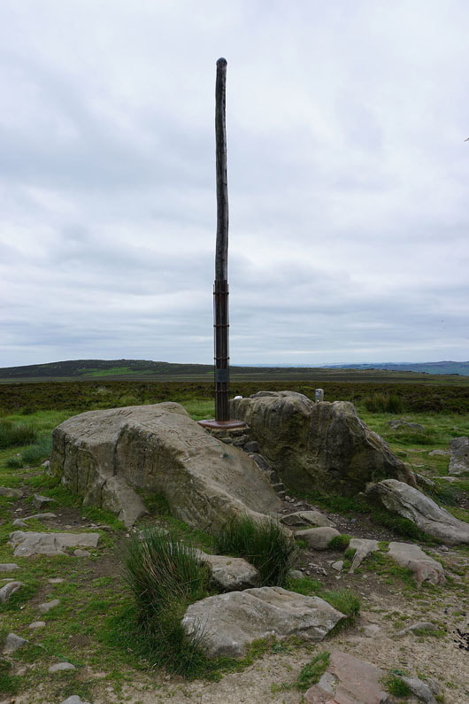
Stanage Pole. The historic county boundary marker between Derbyshire and South Yorkshire.
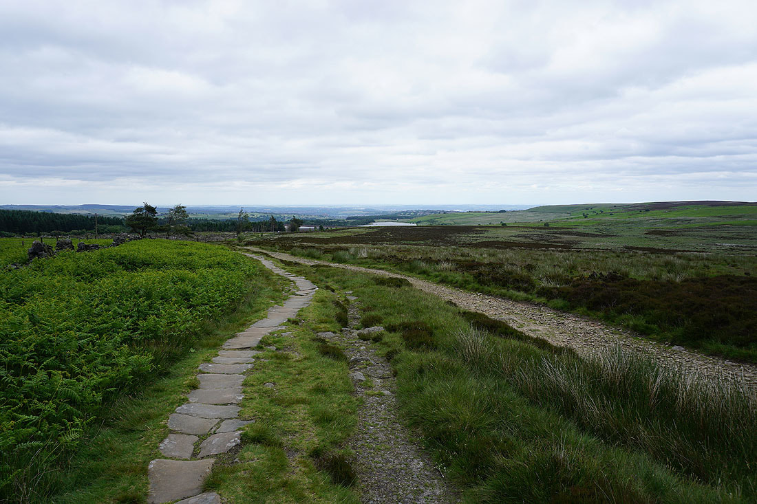
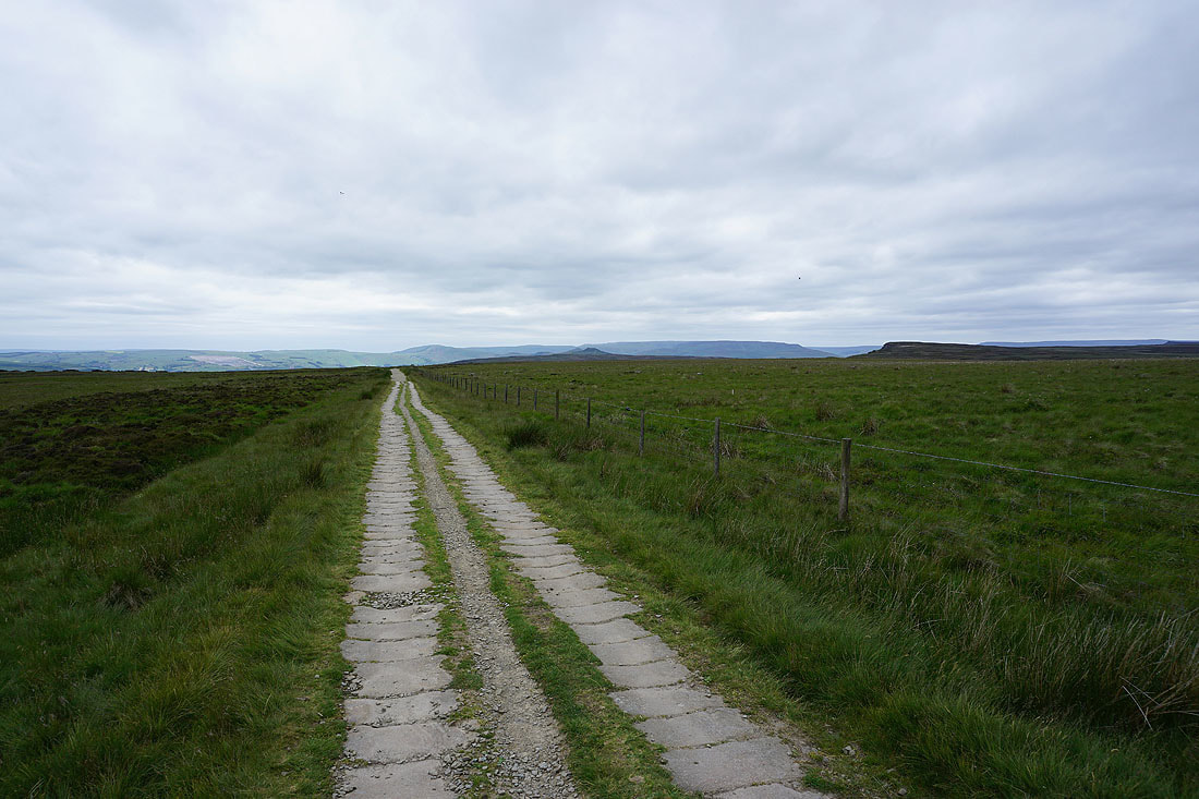
I continue by following the byway towards Redmires Reservoirs
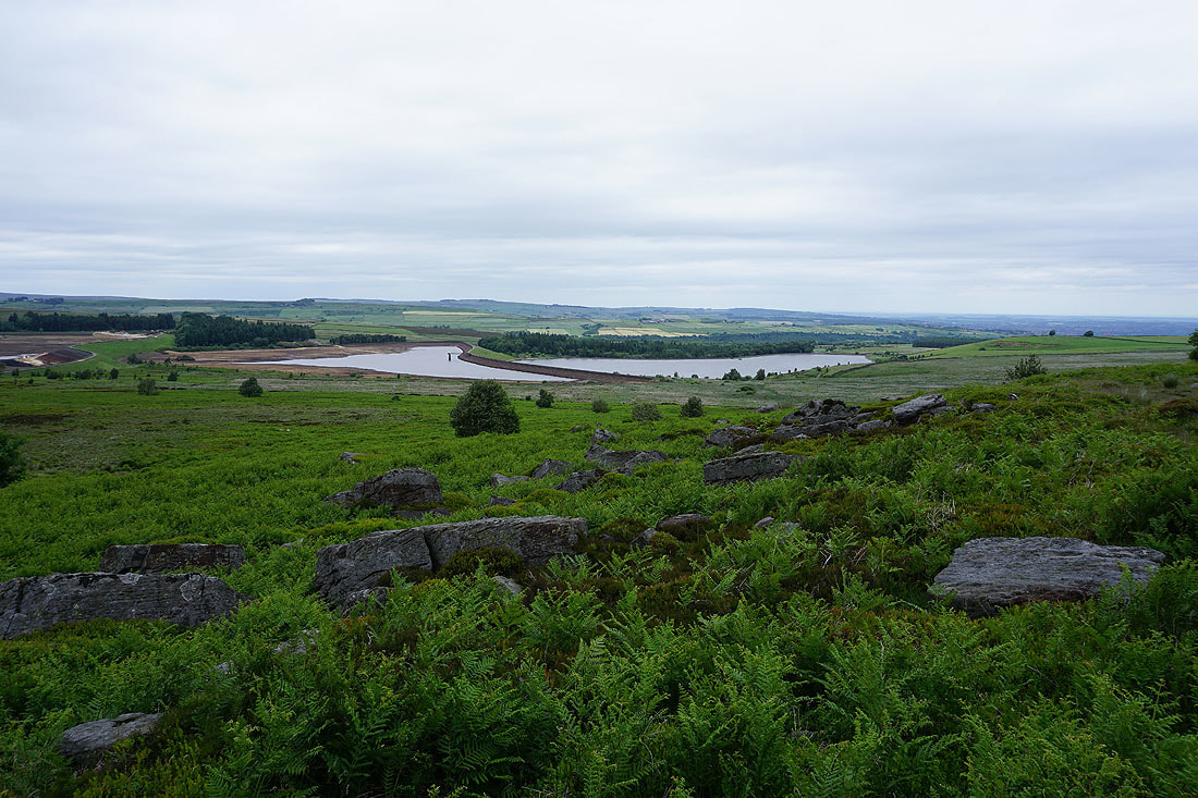
The Redmires Reservoirs from White Stones
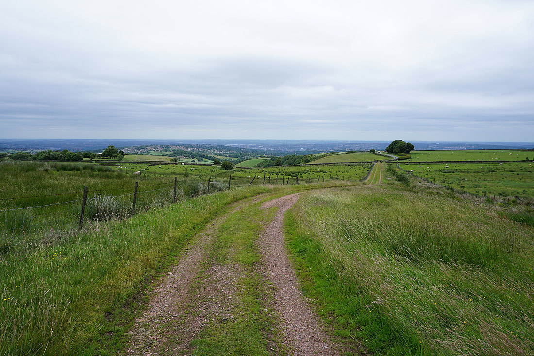
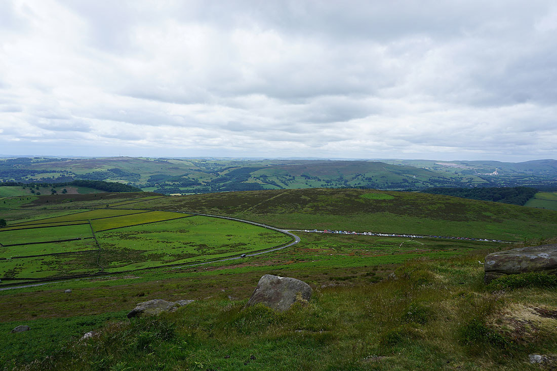
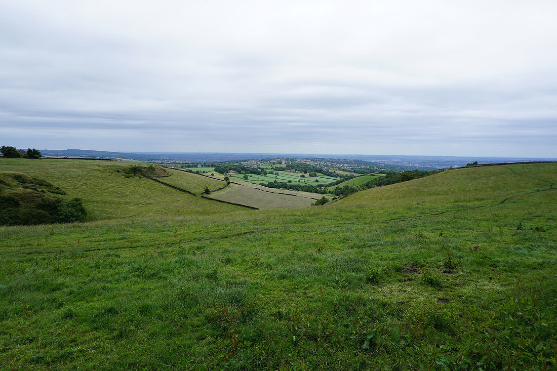
As the path I'm following approaches and reaches Fulwood Lane I can look down on the western suburbs of Sheffield..
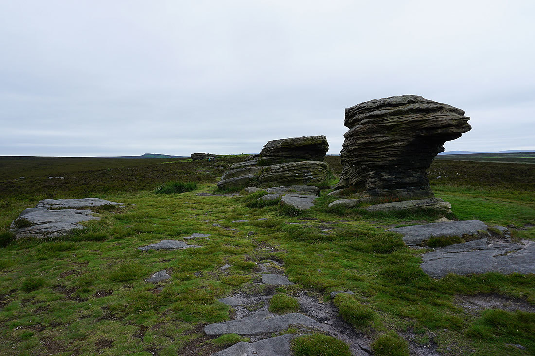
The Ox Stones
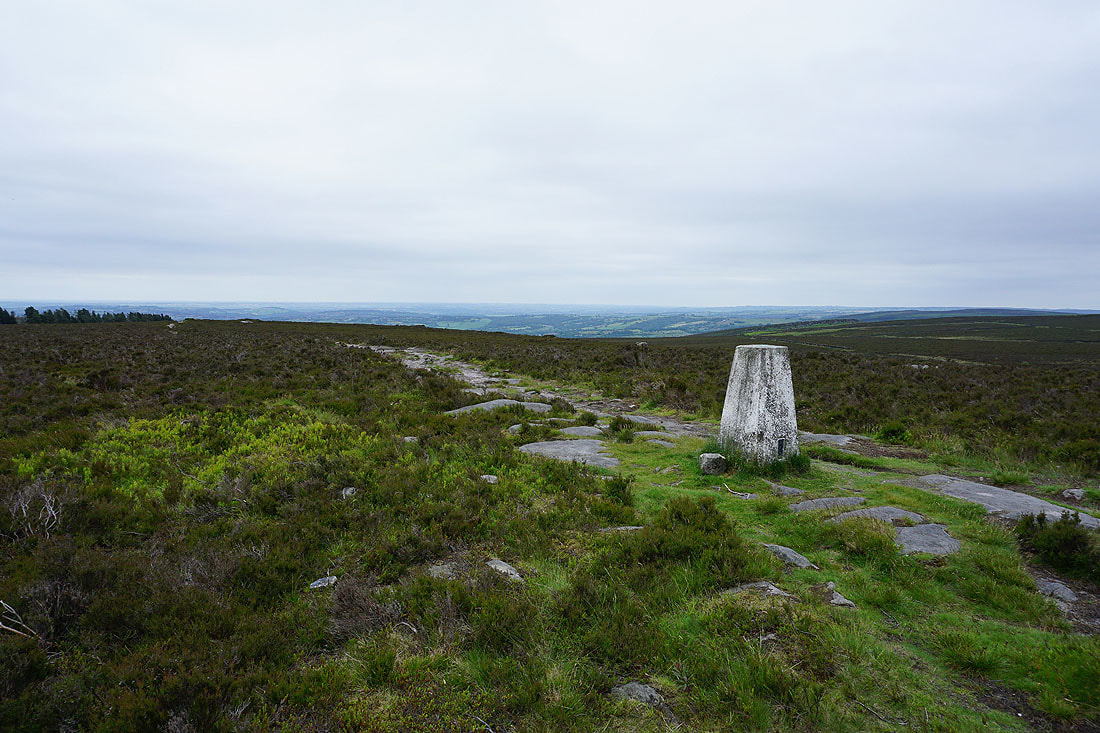
The trig point at Ox Stones
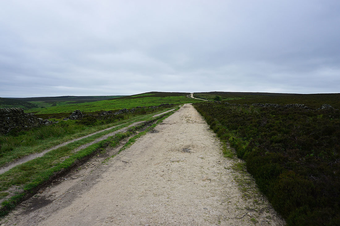
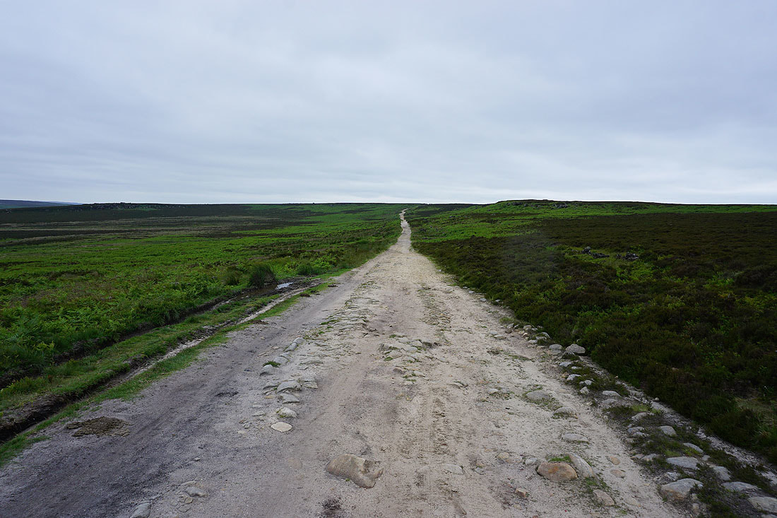
Heading south along the byway of Houndkirk Road
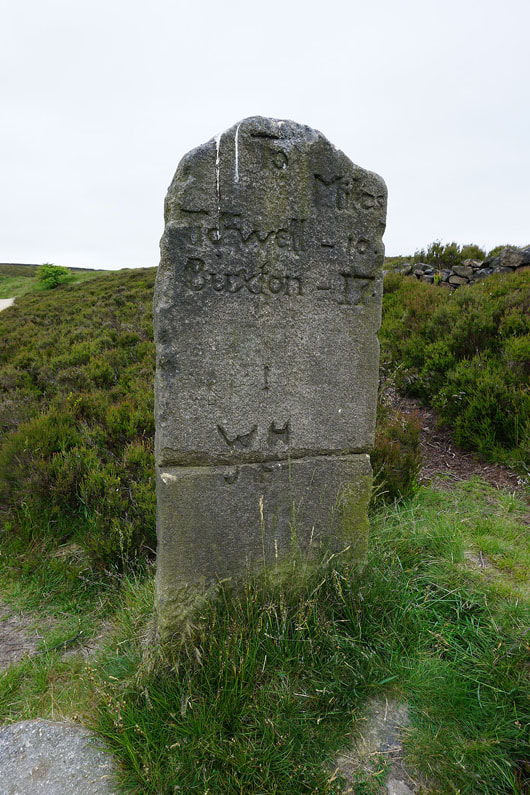
Past a milestone
Crossing Houndkirk Moor..
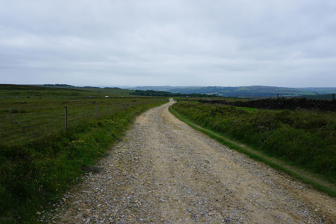
..and with Hathersage Road ahead, I haven't got far to go