17th June 2023 - Around the Hodder from Dunsop Bridge
Walk Details
Distance walked: 10.1 miles
Total ascent: 920 ft
OS map used: OL41 - Forest of Bowland & Ribblesdale
Time taken: 5 hrs
Route description: Dunsop Bridge-Thorneyholme Hall-Burholme-Burholme Bridge-Whitewell-Seed Hill-Stakes Farm-Wardsley Farm-Leagram Mill Barn-Knot Barn-Lower Greystoneley-Higher Greystoneley-Fair Oak-New Laund Hill-New Laund Farm-Reed Barn Cottage-Burholme Bridge-Burholme-Root Hill-Dunsop Bridge
After yesterday's long drive to Muker in Swaledale, I stayed close to home today with a walk from Dunsop Bridge in the Forest of Bowland. I last did this particular route seven years ago, I couldn't believe it when I looked it up, it doesn't seem that long. A difference in the route from last time was that I was able to make it over the stepping stones across the River Hodder at Stakes Farm. That was only because of the low level of the river, the stone that I'd found had moved was still in the same place as seven years ago. A relatively late start from Dunsop Bridge was because of a visit to Puddleducks Tearoom, and for an unexpected shower to clear, fortunately this was the only one of the day. Otherwise, it stayed dry on what was a mostly cloudy and quite dull day.
From the car park in Dunsop Bridge I started by making my way down the drive to Thorneyholme Hall and across the footbridge over the River Hodder. I then followed the footpath south down the valley to Burholme and Burholme Bridge. After walking along the road to Whitewell for a while a concessionary path in the field next door was used to take me to Whitewell. To head out of Whitewell I took the steep road up to the left and then the footpath to Seed Hill. I then followed a path across the hillside, down and across the Whitewell road and across more fields to reach a track down to Stakes Farm. After using the stepping stones to cross the River Hodder I made my way up to the road at Wardsley Farm, where I turned left and walked along the road, going right at a fork, and then walking along this road to Leagram Mill Barn. I then followed the bridleway from Leagram Mill Barn past Knot Barn, Lower Greystoneley and Higher Greystoneley. Across a lane and a footpath took me past Fair Oak and around New Laund Hill, down to New Laund Farm and along a track past Reed Barn Cottage and to the road down to Burholme Bridge. From Burholme Bridge I followed the path north to Burholme and instead of retracing my steps back to Dunsop Bridge I crossed the waterworks bridge to take the concessionary path to Dunsop Bridge via Root Hill.
Route map


© Crown copyright. All rights reserved. License number PU 100034184.
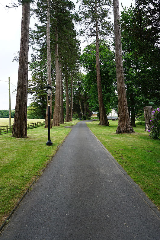
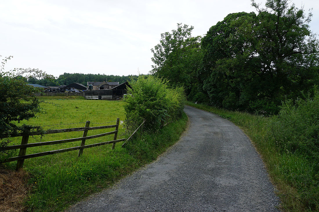
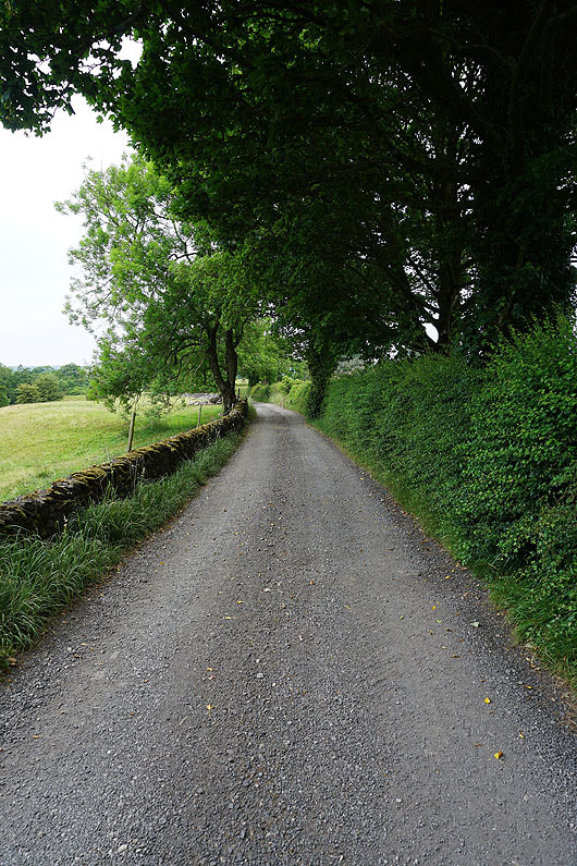
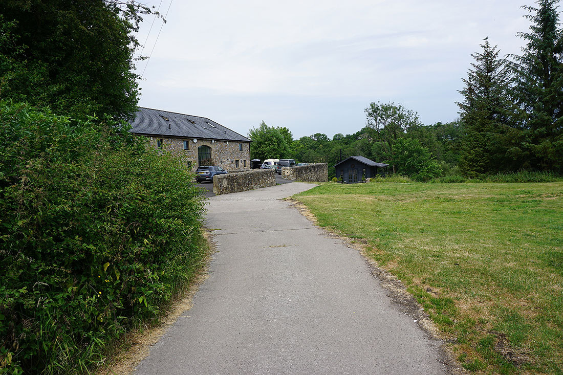
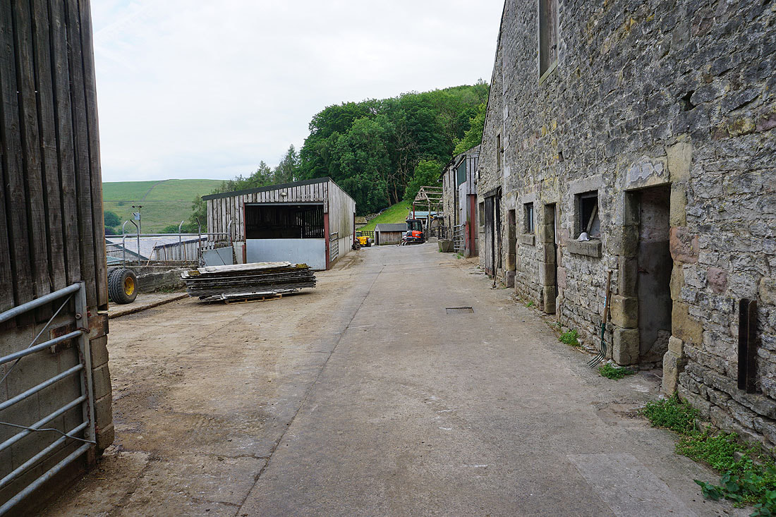
I start with leaving Dunsop Bridge by the driveway to Thorneyholme Hall
Across the River Hodder at Thorneyholme Hall
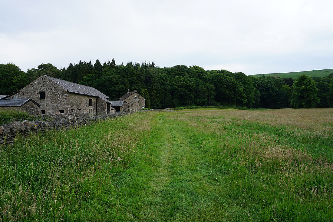
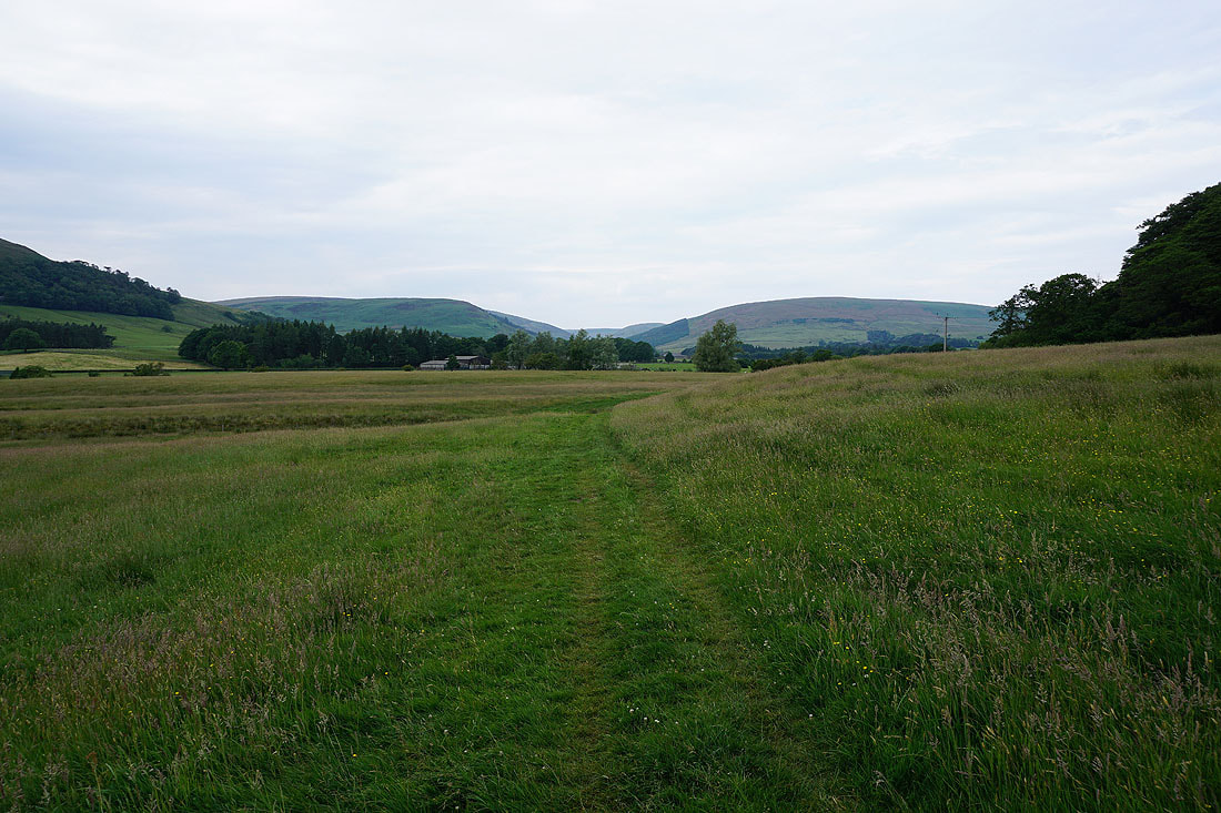
From Thorneyholme Hall I take the footpath south to Burholme
Looking back to Thorneyholme Hall backed by Beatrix Fell
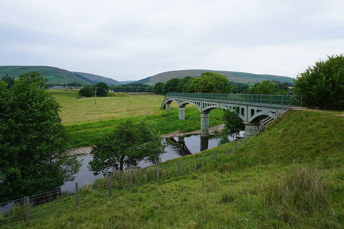
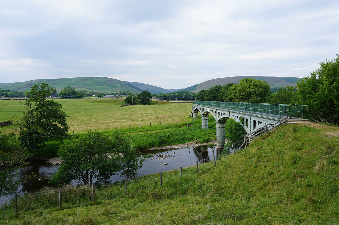
This bridge carries an aqueduct across the river, and I'll use it on the way back to return to Dunsop Bridge
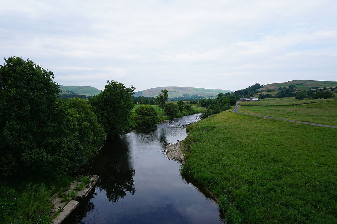
Langden Brook joins the River Hodder
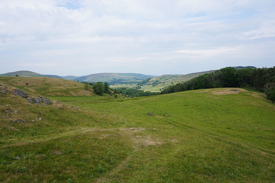
Ahead is New Laund Hill which I'll visit on the way back
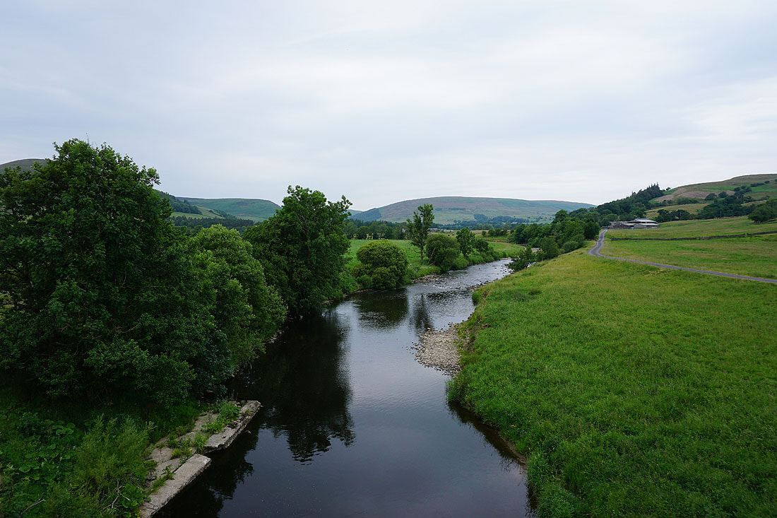
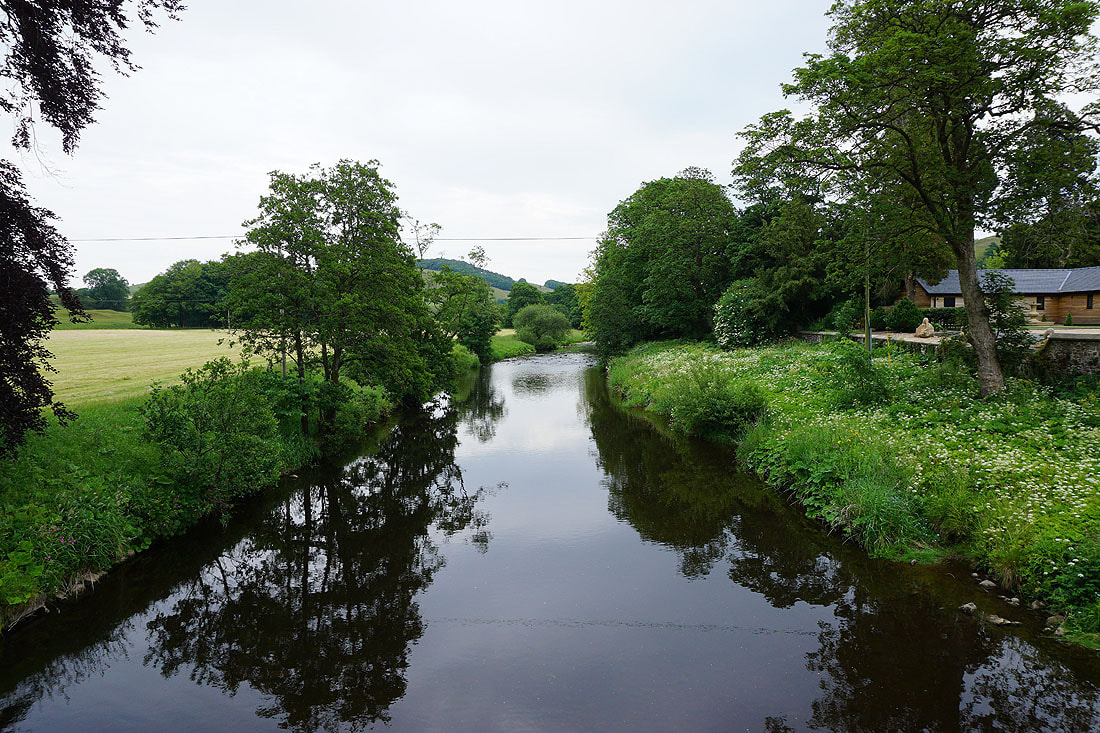
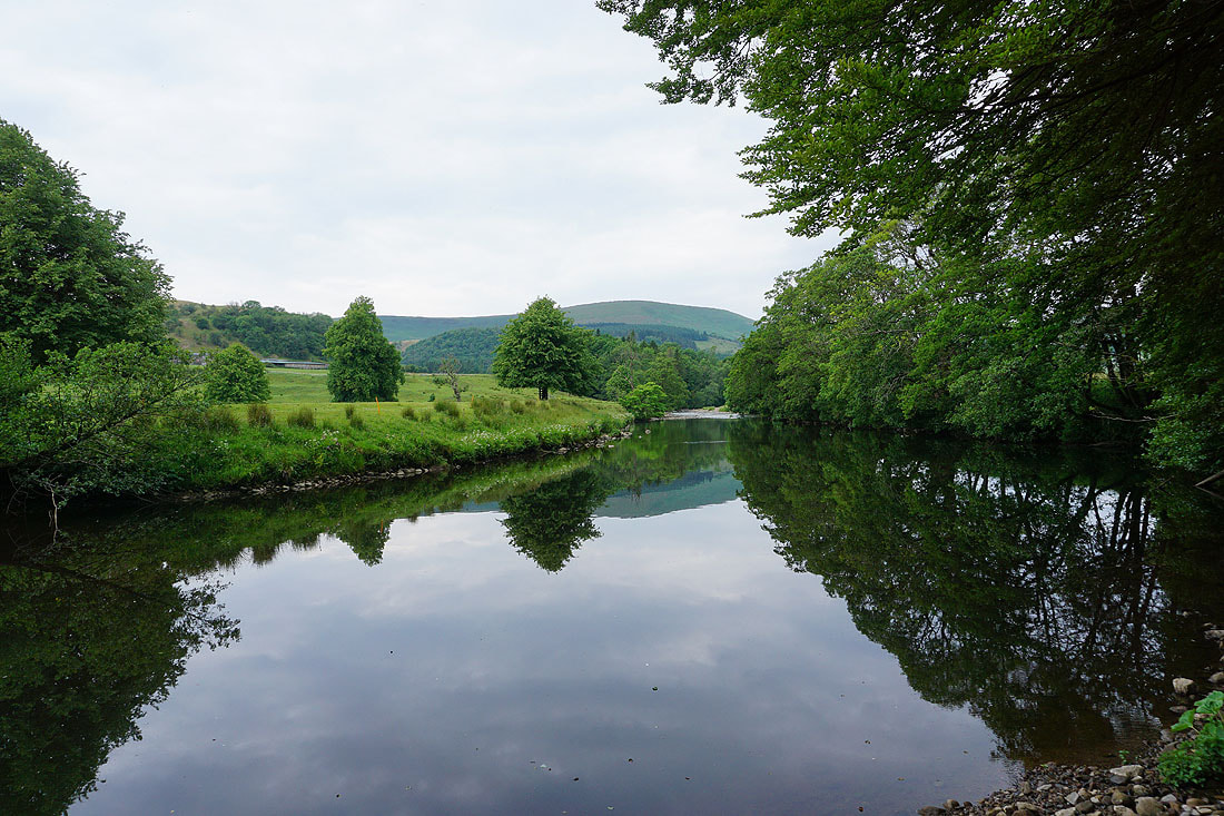
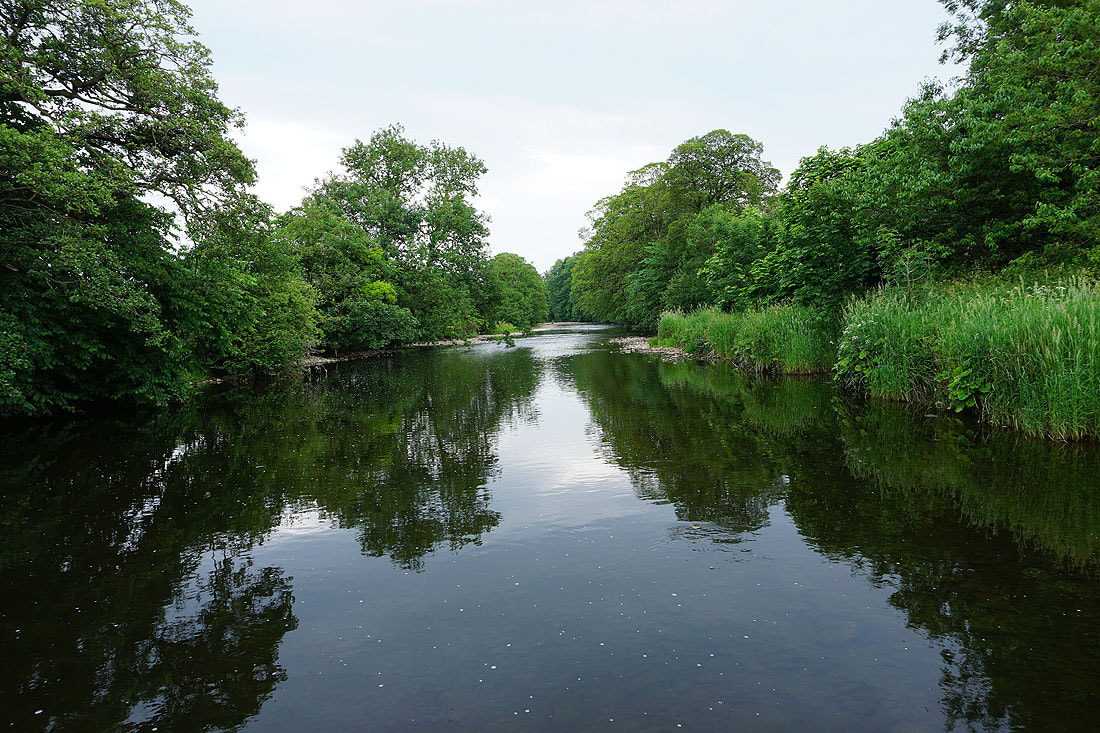
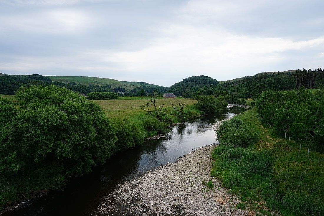
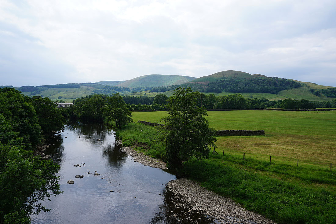
The River Hodder from Burholme Bridge
A permissive path gets me off the road to Whitewell
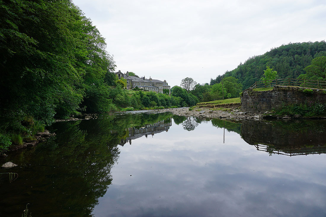
Great reflections in the River Hodder as I reach Whitewell..
There are great views north up the Hodder valley as I take the hillside path south
Looking across to New Laund Hill, with Totridge behind
and Longridge Fell ahead as I follow the path south towards the Whitewell road
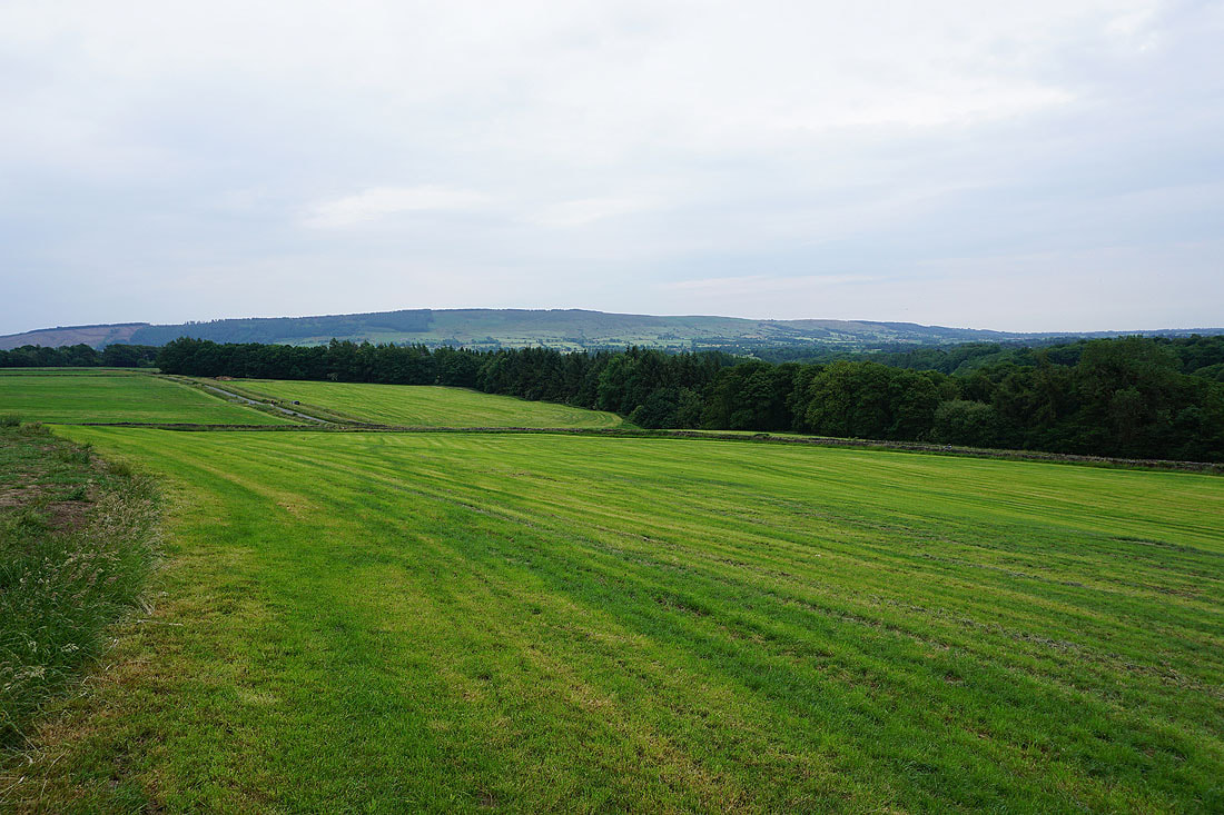
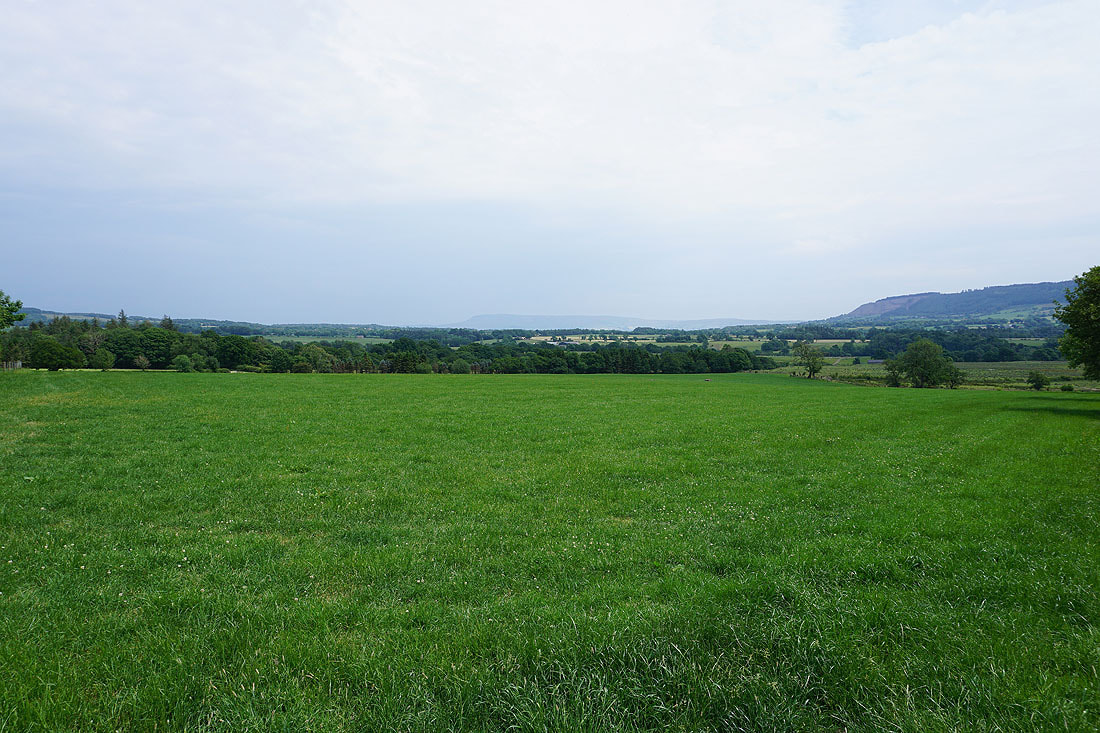
Totridge and New Laund Hill from the Whitewell road

Across the road and it's down through fields towards Stakes Farm
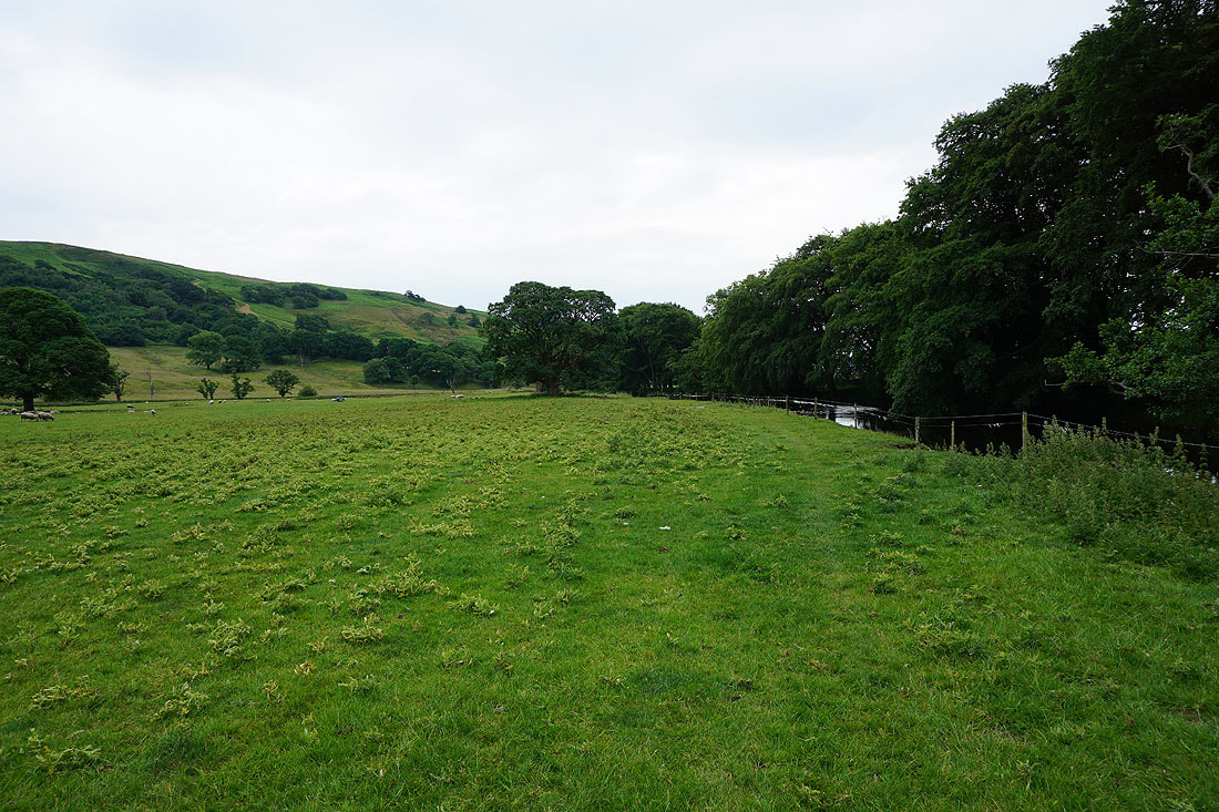
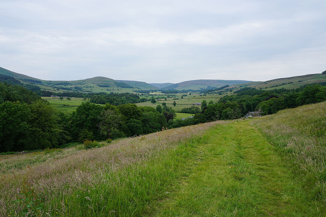
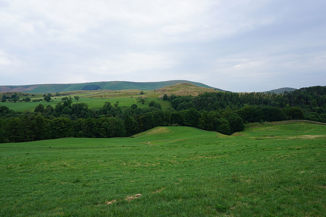
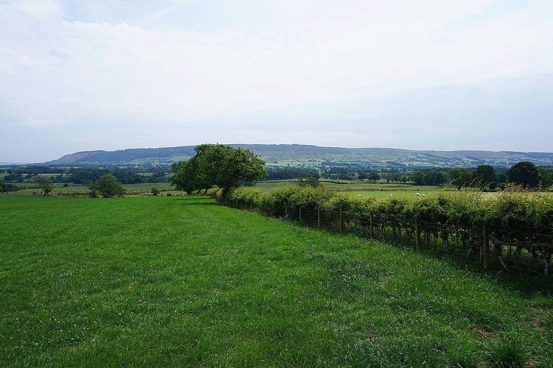
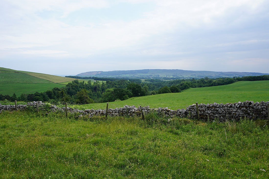
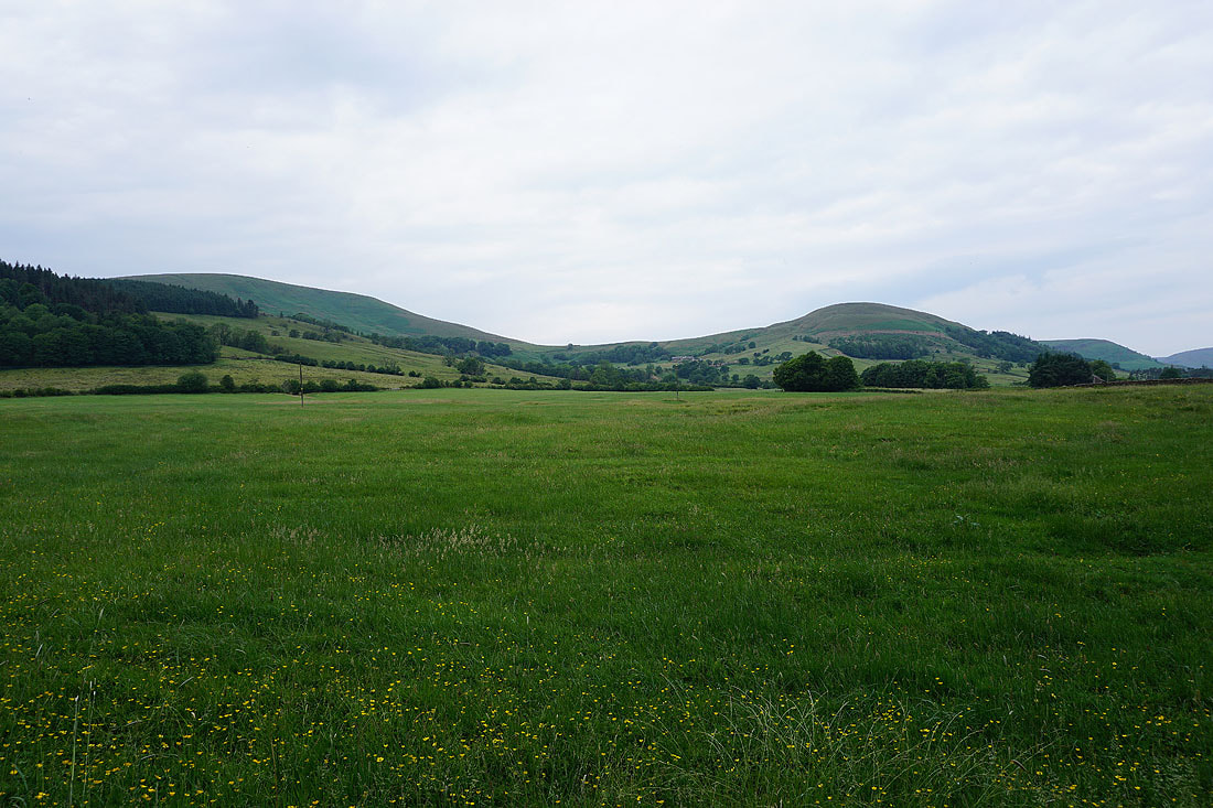
A view of the Hodder valley before I follow the lane down to Stakes Farm to cross the river. The fell on the left is Totridge, the small bumps are the limestone hills of Long Knots and New Laund Hill and then there are the woods that surround the river.
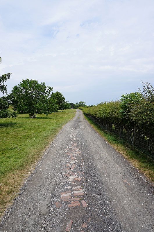
On the track to Stakes Farm
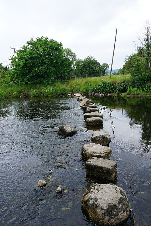
Across the Hodder stepping stones at Stakes Farm. If it wasn't for the low water level I would have taken a detour.
Pausing mid-crossing
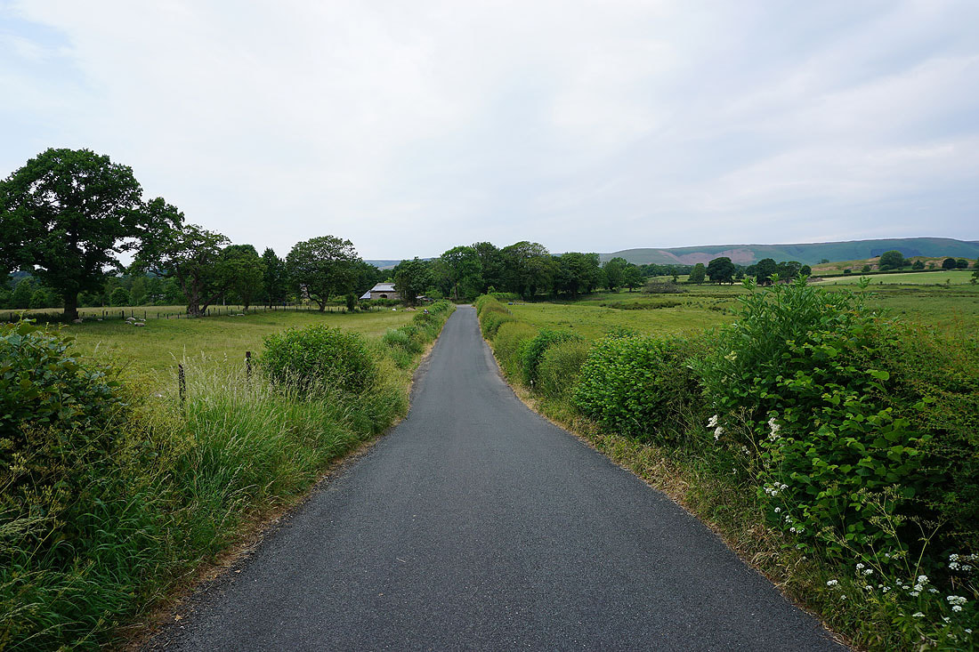
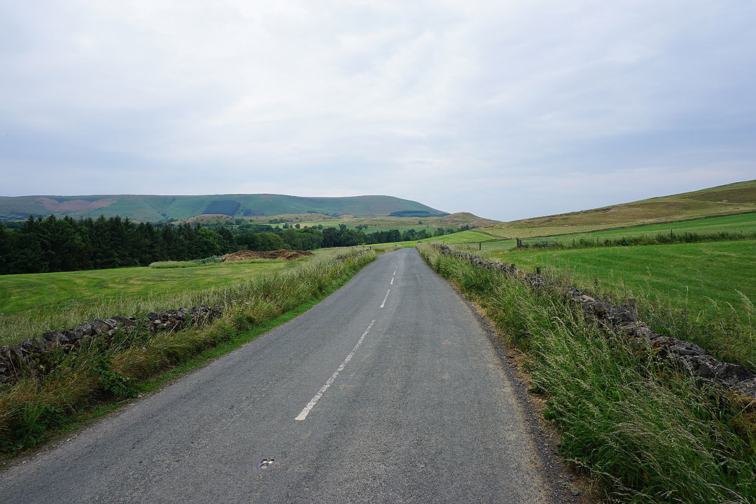
Following the road to Leagram Mill Barn, from where I'll take the bridleway to Knot Barn
|
|
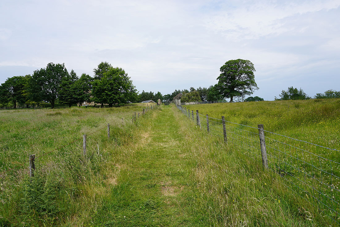
Heading north along the bridleway to Knot Barn..
A view across to Longridge Fell..
..and to Pendle Hill in the distance
At Lower Greystoneley, and the bridleway heads down to and across Greystoneley Brook..
..and on to Higher Greystoneley
On the footpath to Fair Oak
To my left, the limestone knolls of Long Knots
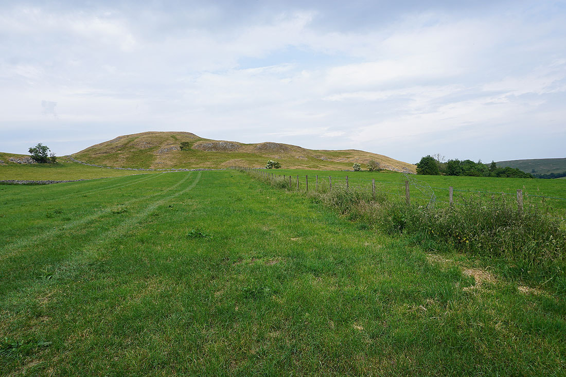
Past Fair Oak and the path heads for the limestone knolls of New Laund Hill
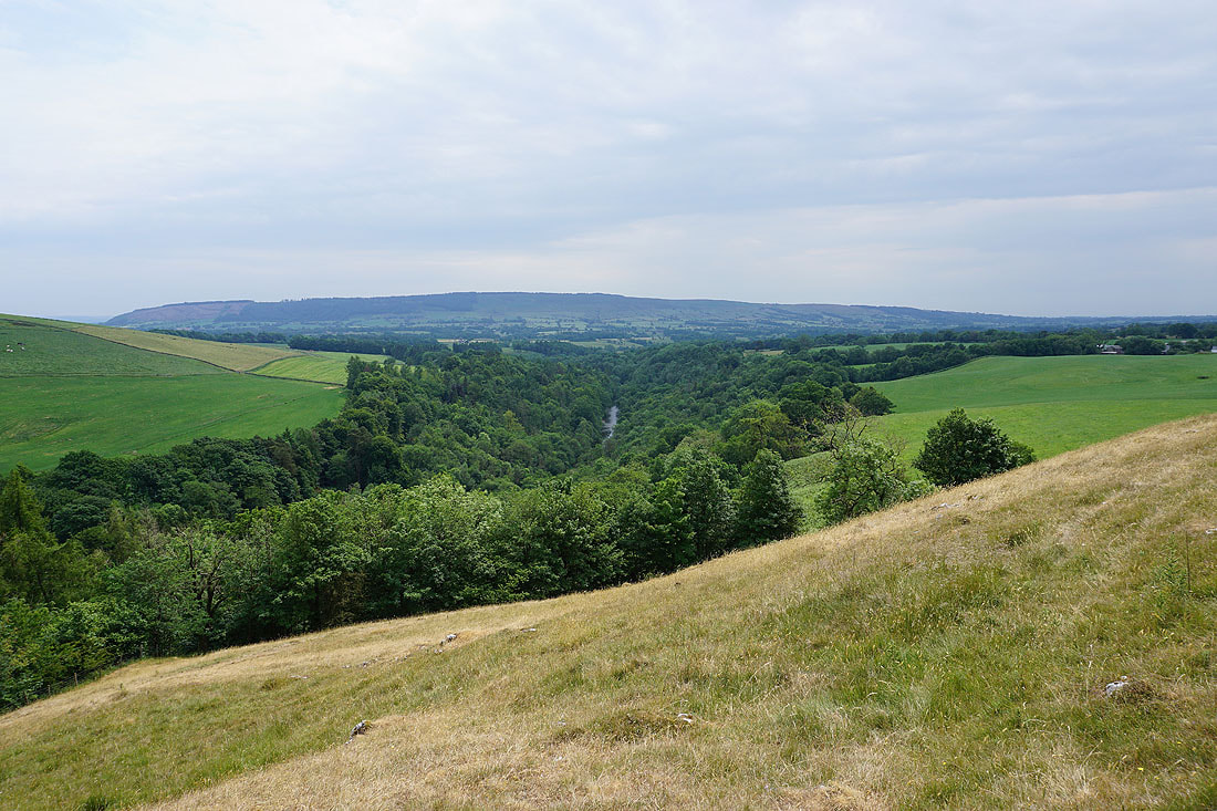
To my right a view across the Whitewell gorge backed by Longridge Fell develops..
On the other side of New Laund Hill and heading down to New Laund Farm
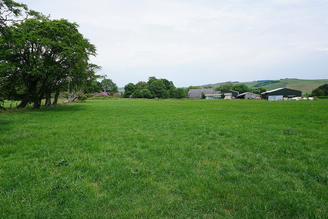
At New Laund Farm
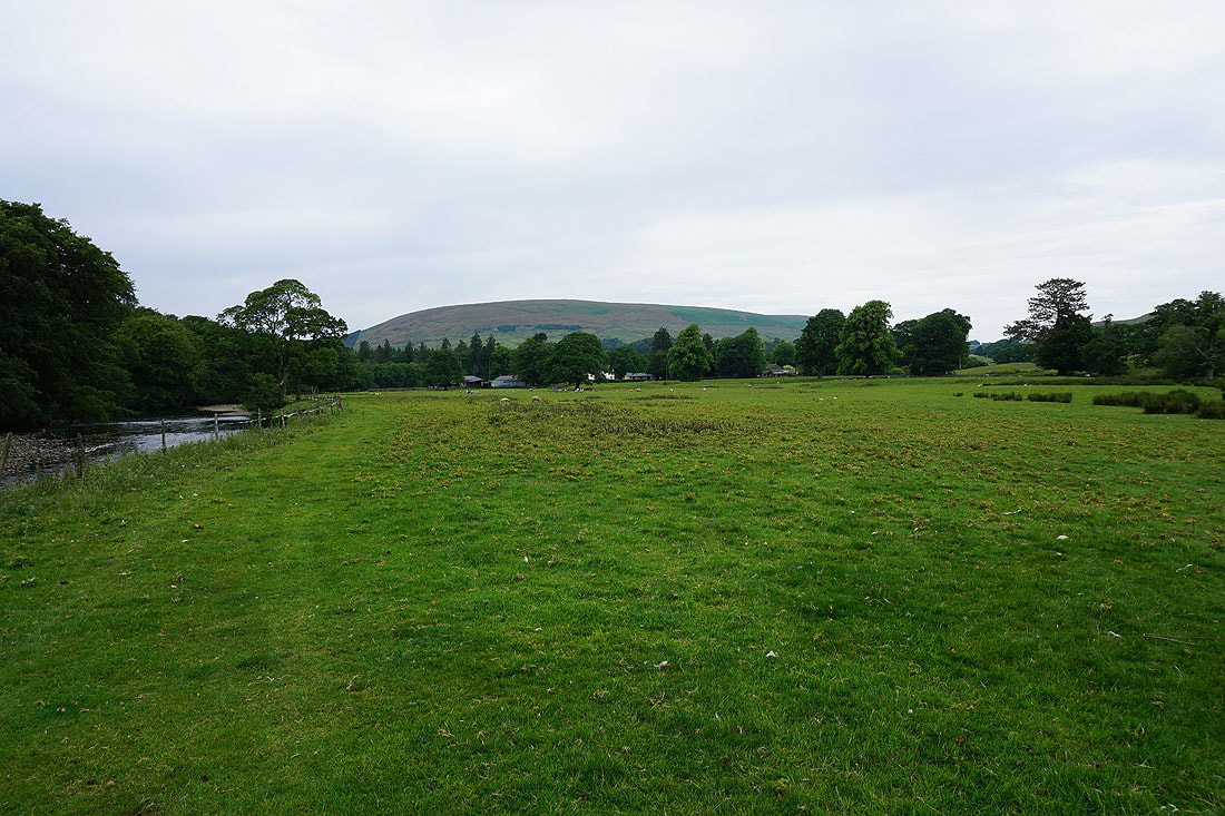
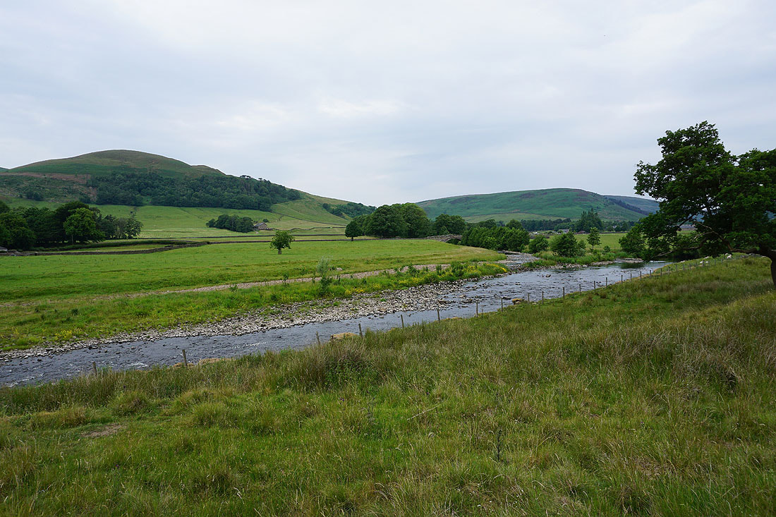
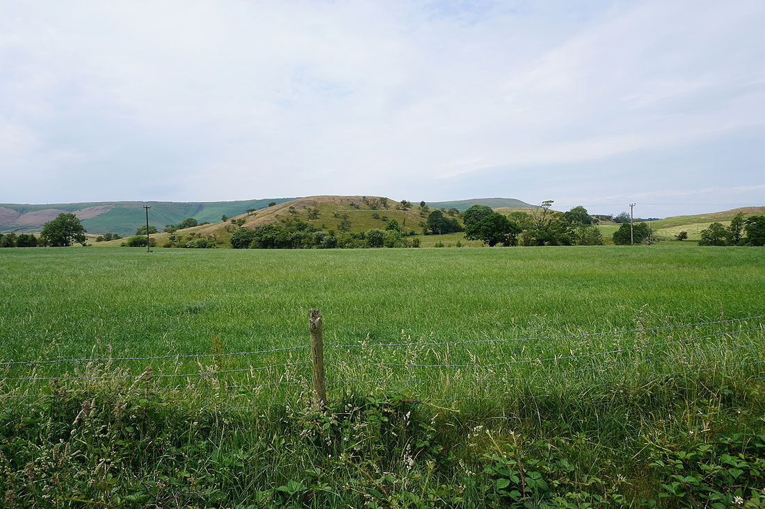
Totridge and Mellor Knoll from the road to Burholme Bridge
Back at Burholme Bridge
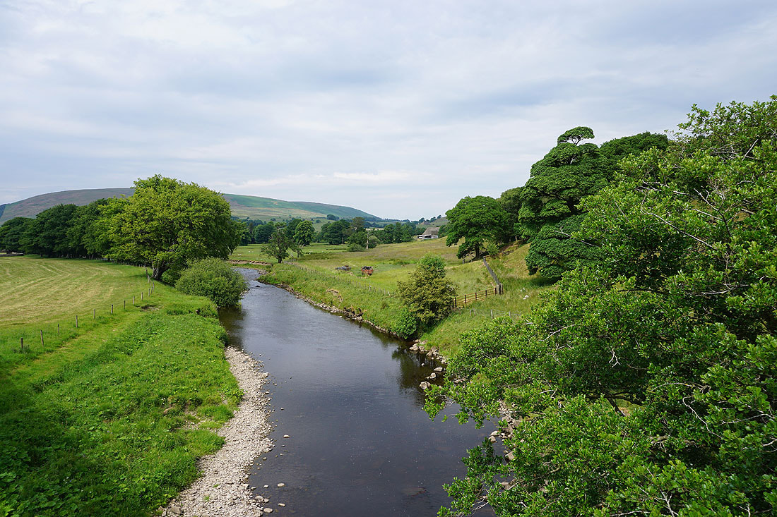
Looking downstream
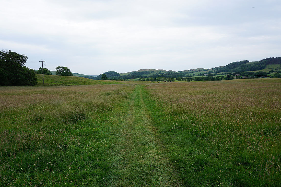
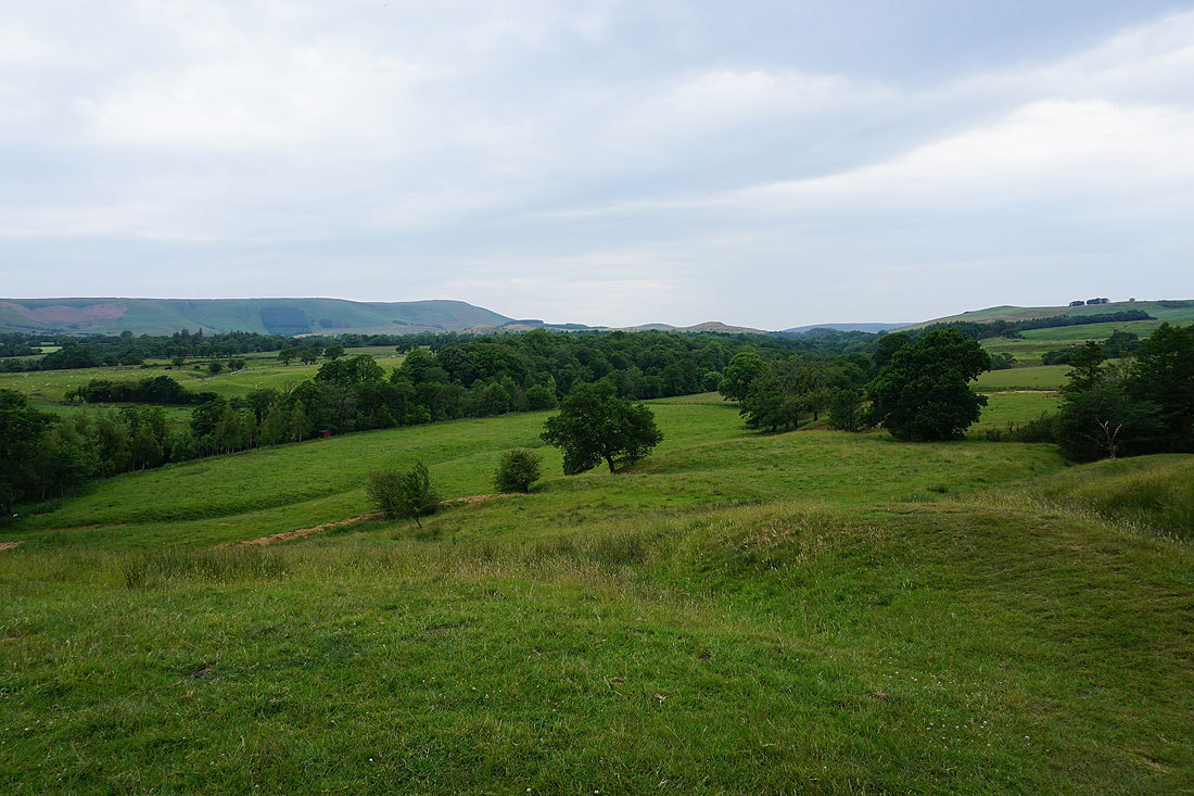
Following the footpath from Burholme back towards Dunsop Bridge

Back by the River Hodder
I'm going to take the permissive footpath across the bridge to Root Hill and Dunsop Bridge
Looking downstream to Totridge and Mellor Knoll
and upstream to Beatrix Fell
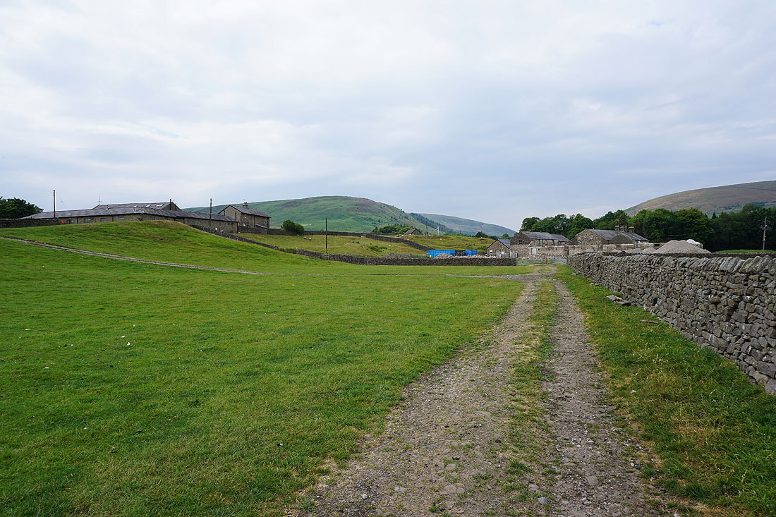
Approaching Root Hill
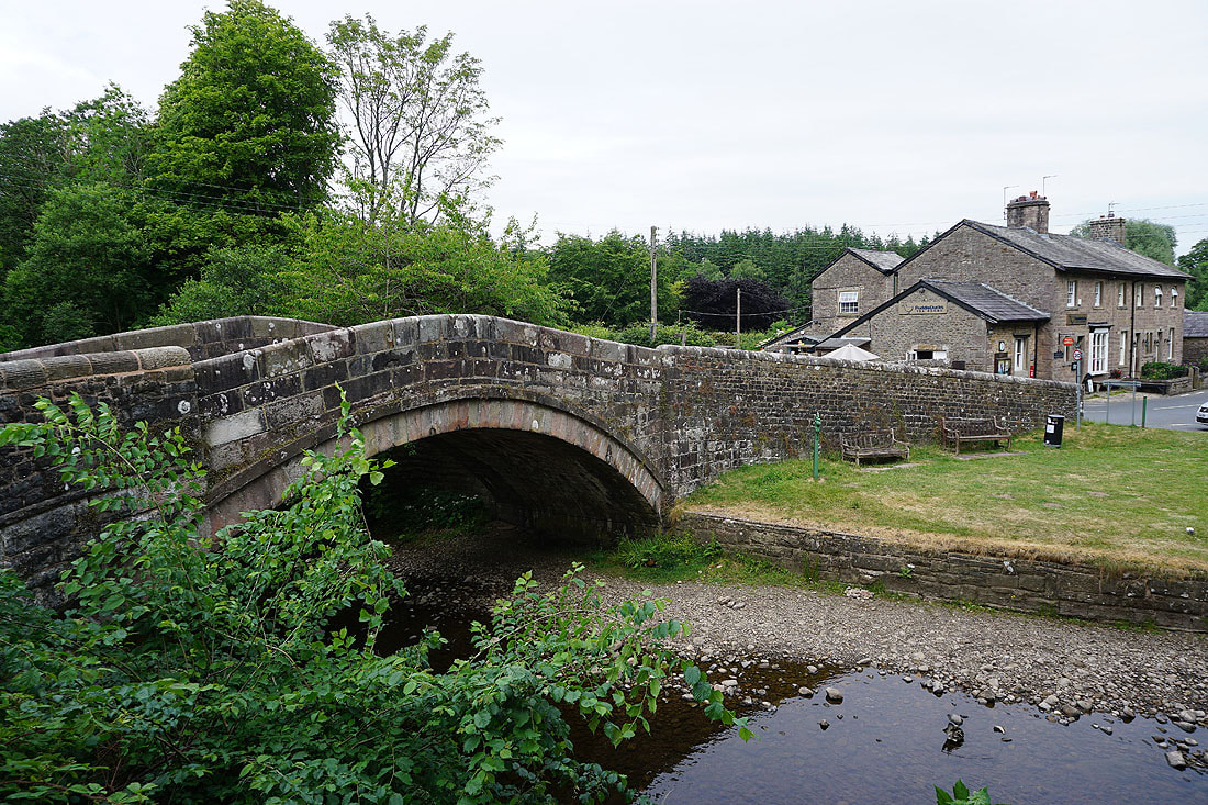
Back at Dunsop Bridge