17th May 2014 - Easington Fell & the Hodder
Walk Details
Distance walked: 7.1 miles
Total ascent: 1225 ft
OS map used: OL41 - Forest of Bowland & Ribblesdale
Time taken: 4 hrs
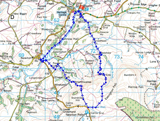
Route description: Slaidburn-B6478-Broadhead Farm-Skelshaw Farm-Fell Side Farm-Easington Fell-Walloper Well-Standridge Hill-Smelfthwaites-Meanley-Newton Bridge-River Hodder-Slaidburn
I didn't have all day available for a walk today but the time I did have was well spent on this walk in the Forest of Bowland on a beautiful Spring day. The definite highlight was the riverside stretch from Newton-in-Bowland back to Slaidburn.
After enjoying a bacon butty and cup of tea in the Riverbank Tearooms I set off by crossing the bridge over the Hodder. A short distance up the road a path heads up and over a low hill and down to a lane. I then went down the drive to Broadhead Farm, through the farmyard and across fields to Skelshaw Farm. A track then continues to Fell Side farm and up onto Easington Fell. I followed the track across the fell until it reaches the Waddington to Newton road. After having a look at Walloper Well it was back across the road to head across Standridge Hill and the descent into the Hodder valley. I went through Smelfthwaites, down a track to a lane and a path then took me down to the Hodder at Newton Bridge. A riverside walk took me back to Slaidburn.
Total ascent: 1225 ft
OS map used: OL41 - Forest of Bowland & Ribblesdale
Time taken: 4 hrs
Route description: Slaidburn-B6478-Broadhead Farm-Skelshaw Farm-Fell Side Farm-Easington Fell-Walloper Well-Standridge Hill-Smelfthwaites-Meanley-Newton Bridge-River Hodder-Slaidburn
I didn't have all day available for a walk today but the time I did have was well spent on this walk in the Forest of Bowland on a beautiful Spring day. The definite highlight was the riverside stretch from Newton-in-Bowland back to Slaidburn.
After enjoying a bacon butty and cup of tea in the Riverbank Tearooms I set off by crossing the bridge over the Hodder. A short distance up the road a path heads up and over a low hill and down to a lane. I then went down the drive to Broadhead Farm, through the farmyard and across fields to Skelshaw Farm. A track then continues to Fell Side farm and up onto Easington Fell. I followed the track across the fell until it reaches the Waddington to Newton road. After having a look at Walloper Well it was back across the road to head across Standridge Hill and the descent into the Hodder valley. I went through Smelfthwaites, down a track to a lane and a path then took me down to the Hodder at Newton Bridge. A riverside walk took me back to Slaidburn.
Route map
© Crown copyright. All rights reserved. License number PU 100034184.
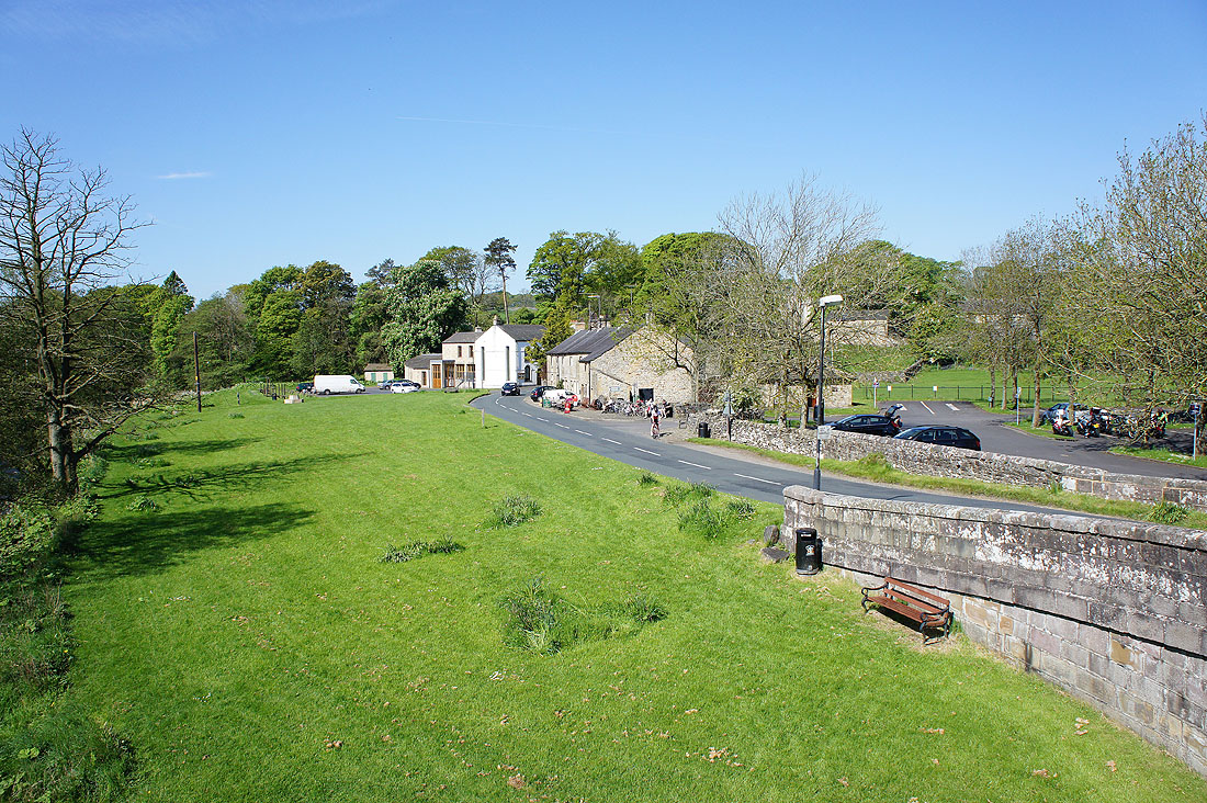
It's a glorious morning in Slaidburn as I cross the bridge over the River Hodder
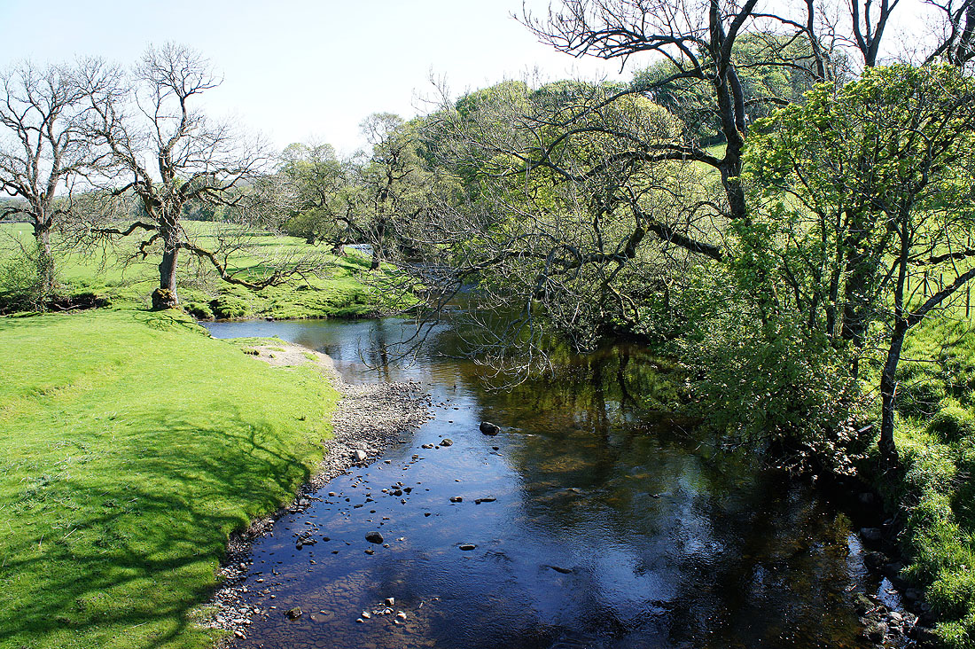
The Hodder from that bridge and that's Croasdale Brook joining from the left
A last chance to look back at Slaidburn before I cross over the other side of the hill..
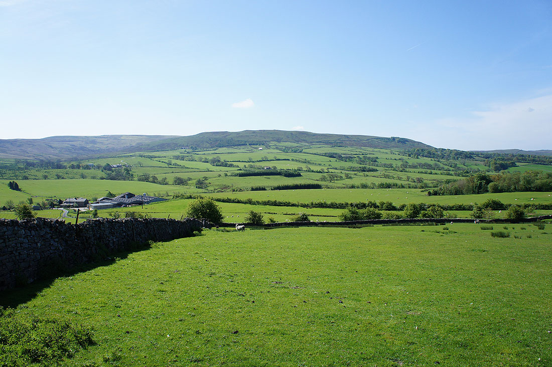
..and Easington Fell is in sight. I'll cross the road just below and head through Broadhead Farm on the left.
Looking back to Broadhead Farm
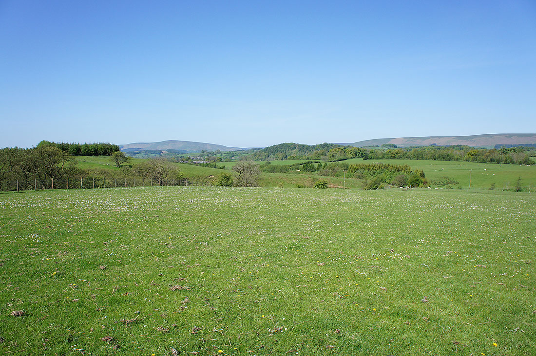
Turning to my left and the distant high fell is Totridge. The little wooded hill in the middle of the picture is Great Dunnow and I'll be walking under it on the way back to Slaidburn.
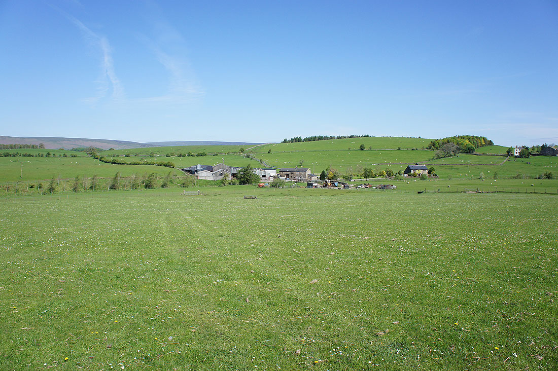
Looking back at Skelshaw Farm. The track I'm on will take me on to the farm of Fell Side.
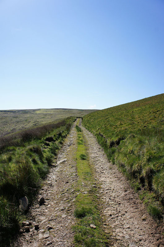
Through Fell Side and on the track up onto Easington Fell
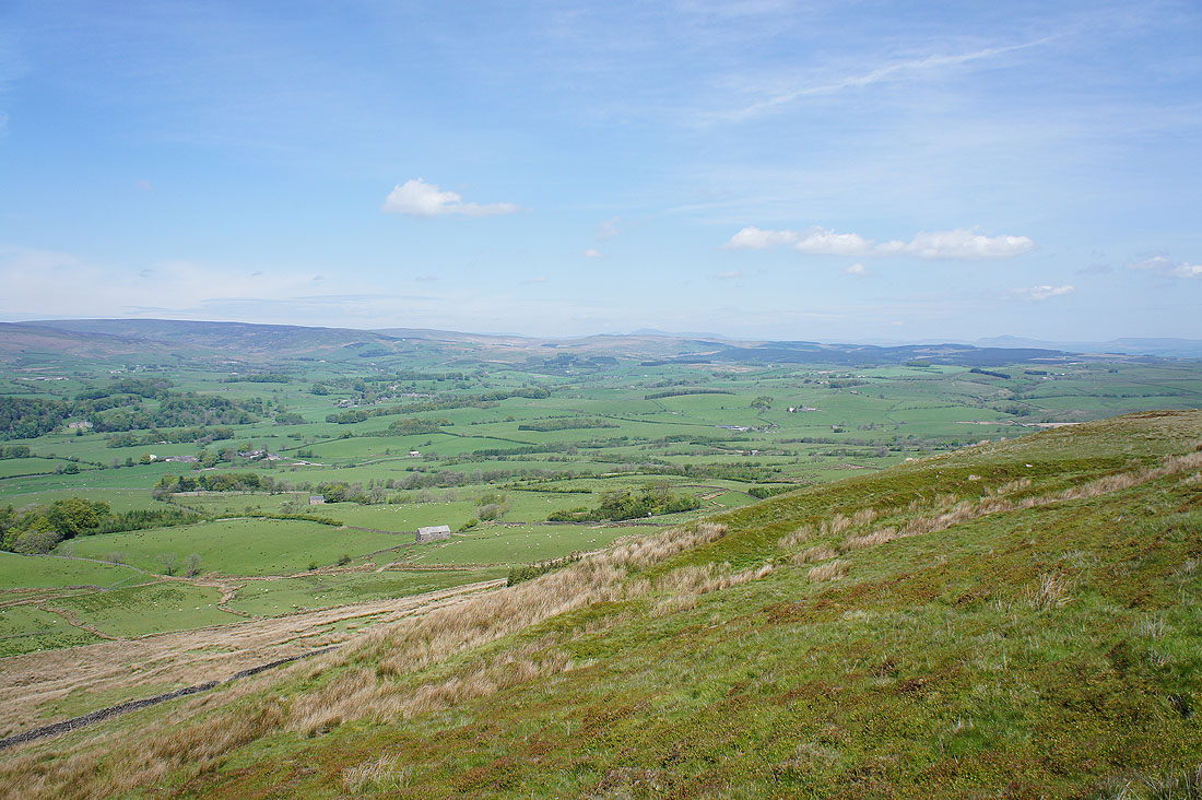
Looking back as height is gained and there are views beyond Bowland to Ingleborough and Penyghent
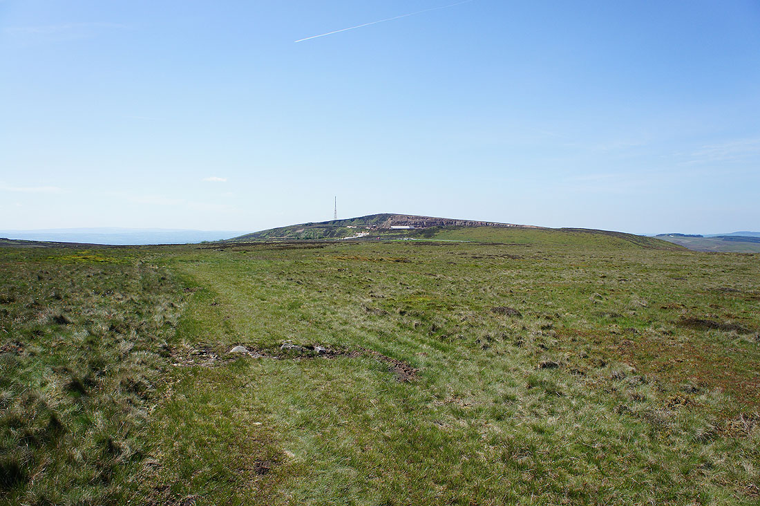
On the top of Easington Fell and any illusions of wilderness are shattered by the working quarry and the Waddington to Newton road that runs across the top
I'll follow the track out to the road to see an item of interest that's marked on the map. Parlick, Fair Snape Fell, and Totridge in the distance.
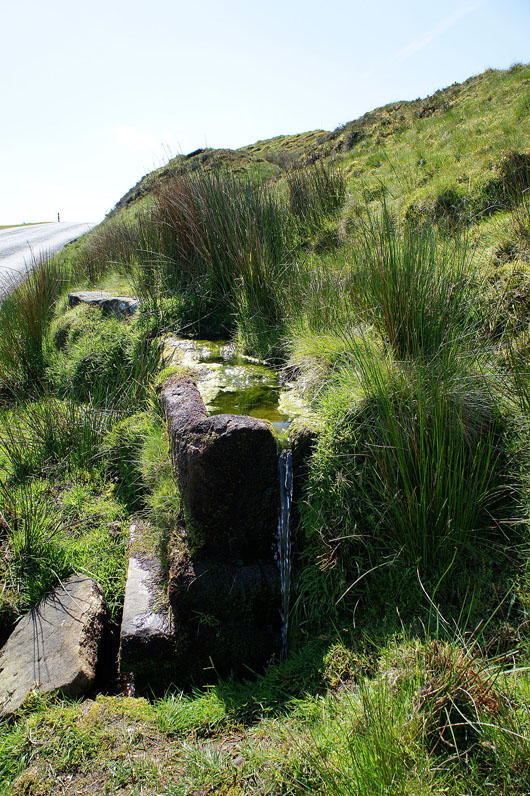
The stone troughs of Walloper Well next to the road
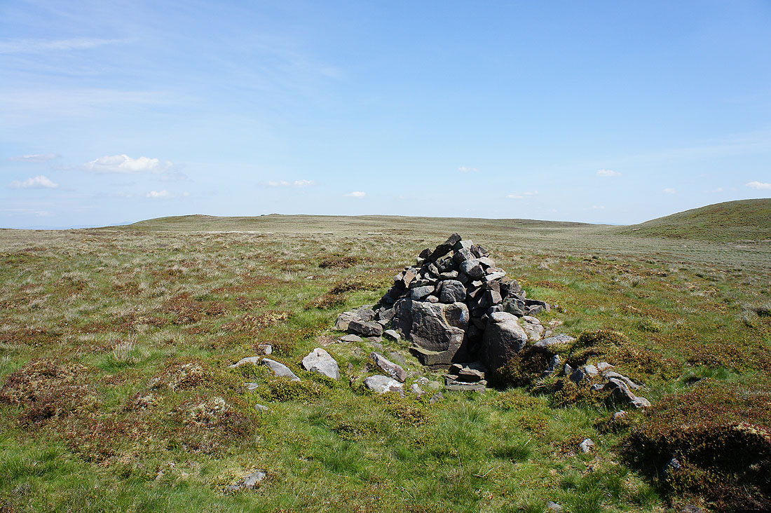
Back on Easington Fell and my lunch stop by the cairn on Standridge Hill
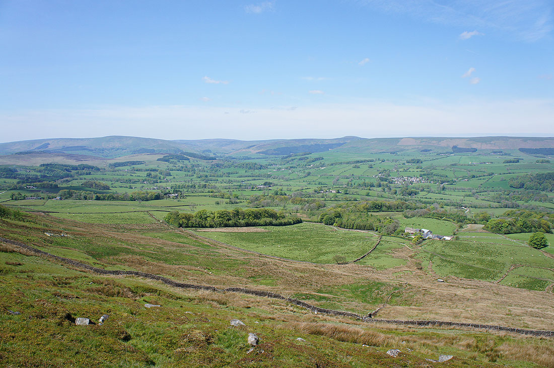
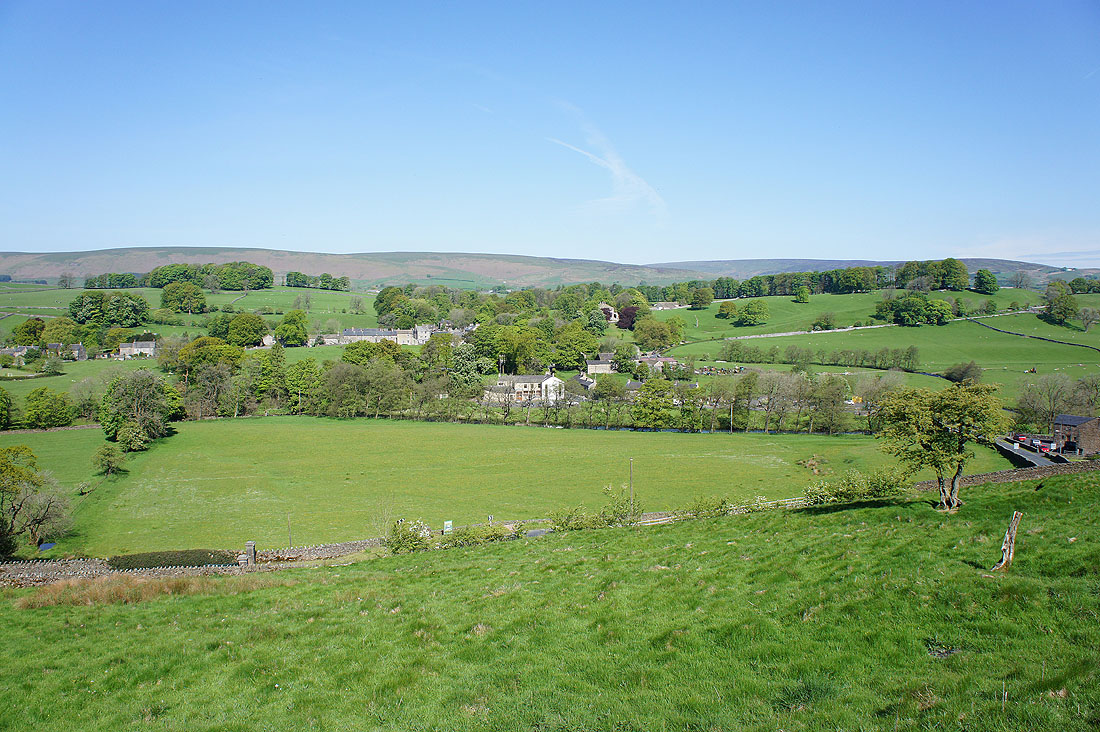
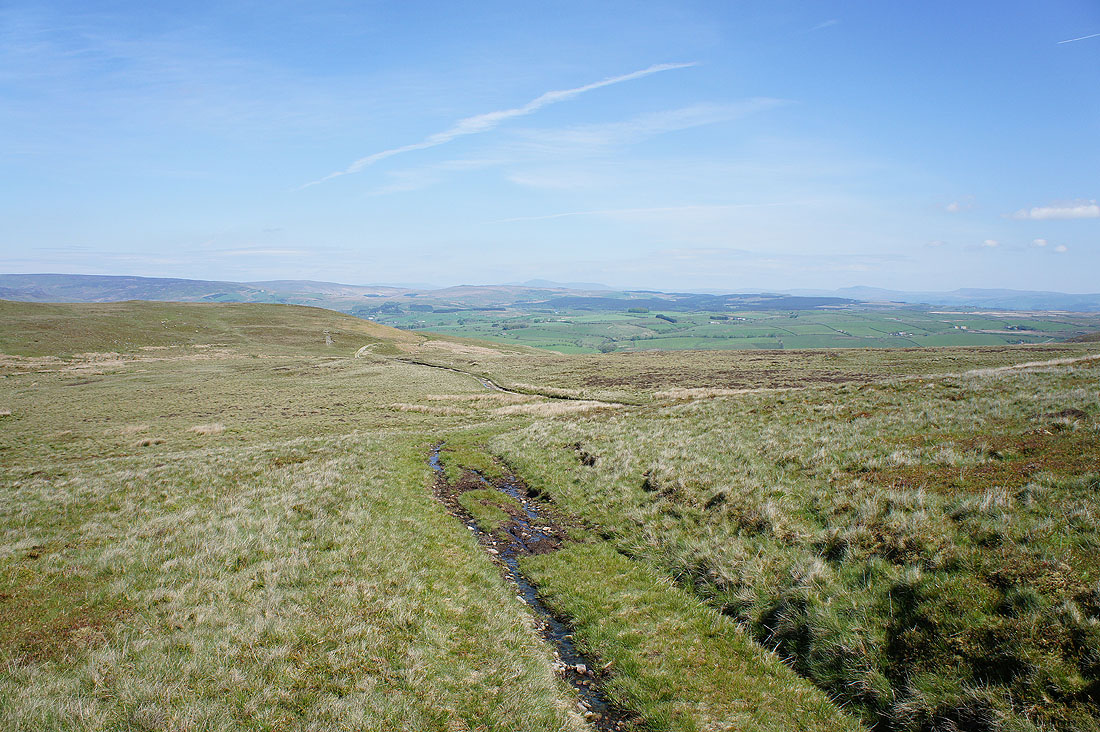
Fantastic views of the Hodder valley as I reach the brow of Standridge Hill
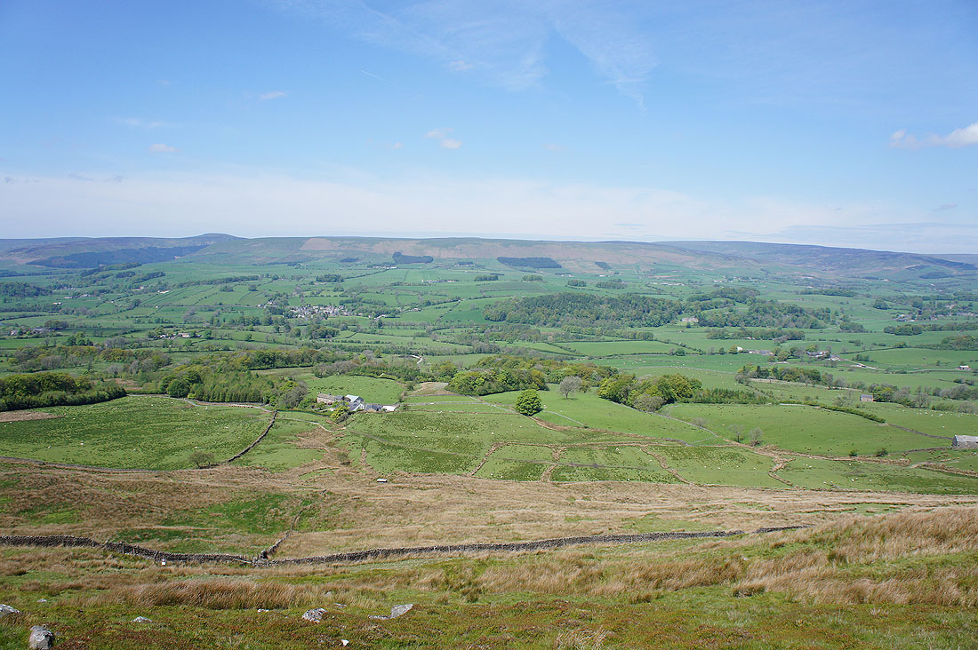
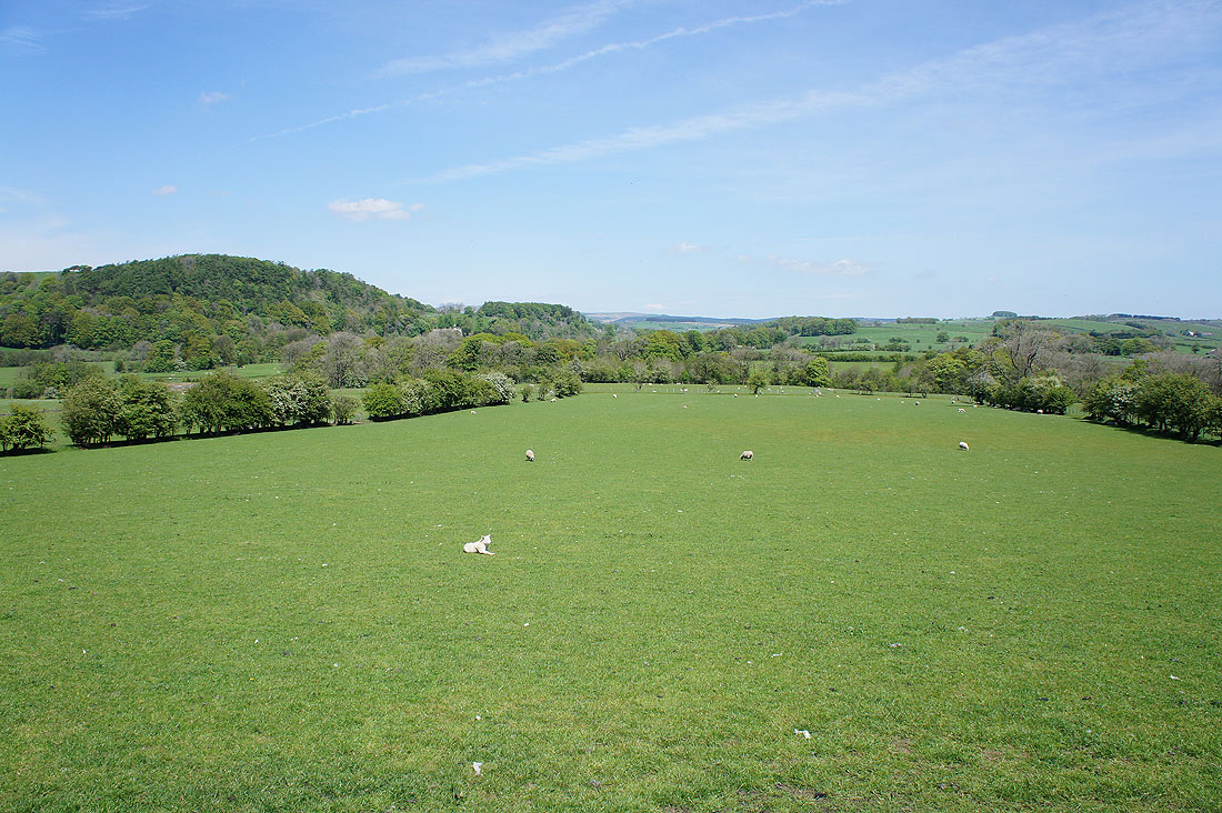
I'm heading down to Smelfthwaites Farm below and then the village beyond, Newton-in-Bowland
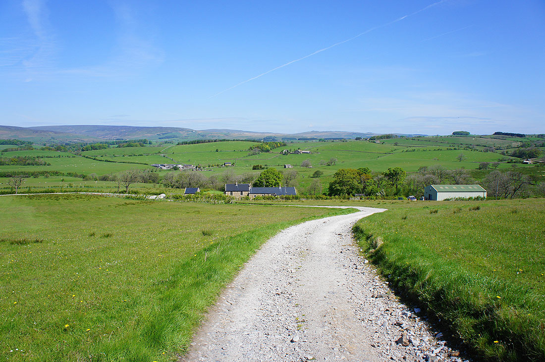
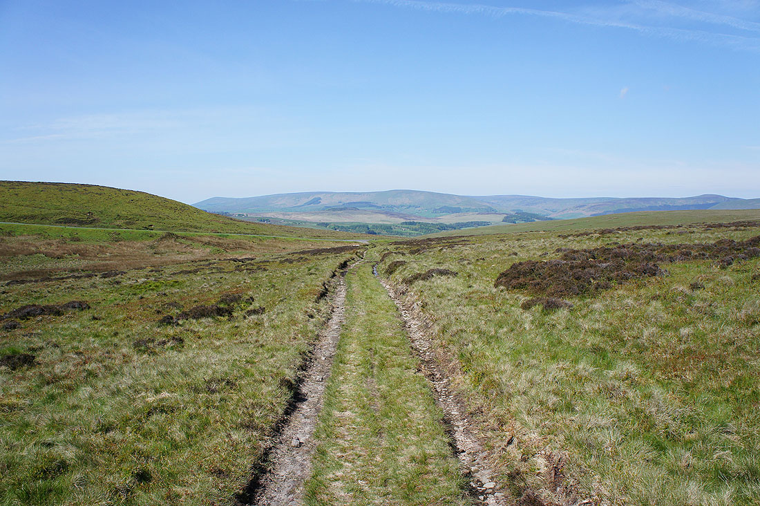
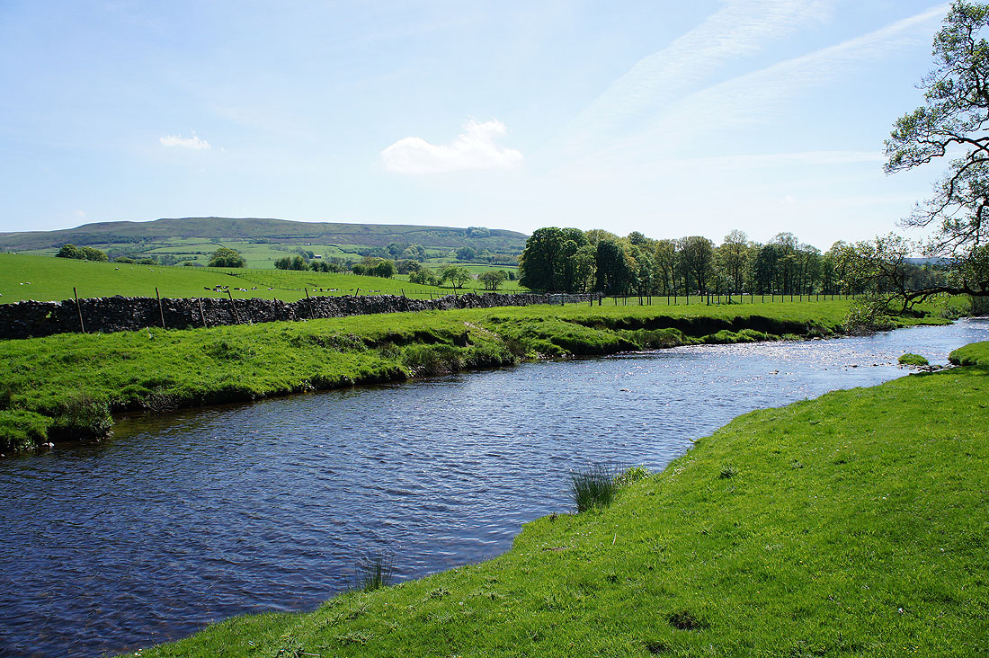
Looking up the valley towards Slaidburn
Nearly down to the river and it's a glorious afternoon in Hodder country
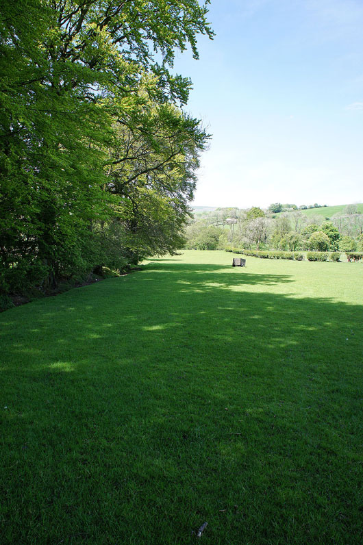
A line of stately beech trees provide some welcome shade
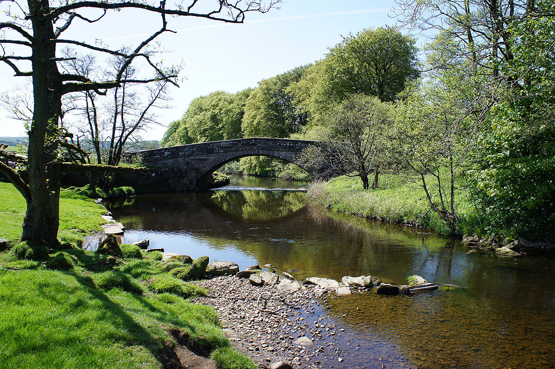
Finally by the river at Newton Bridge. I'll cross over and follow the path back to Slaidburn.
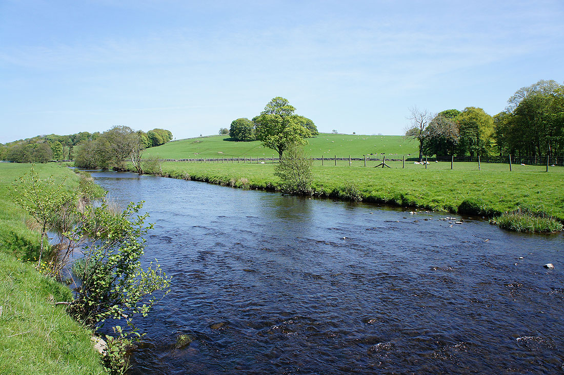
The River Hodder from Newton Bridge. Looking upstream..
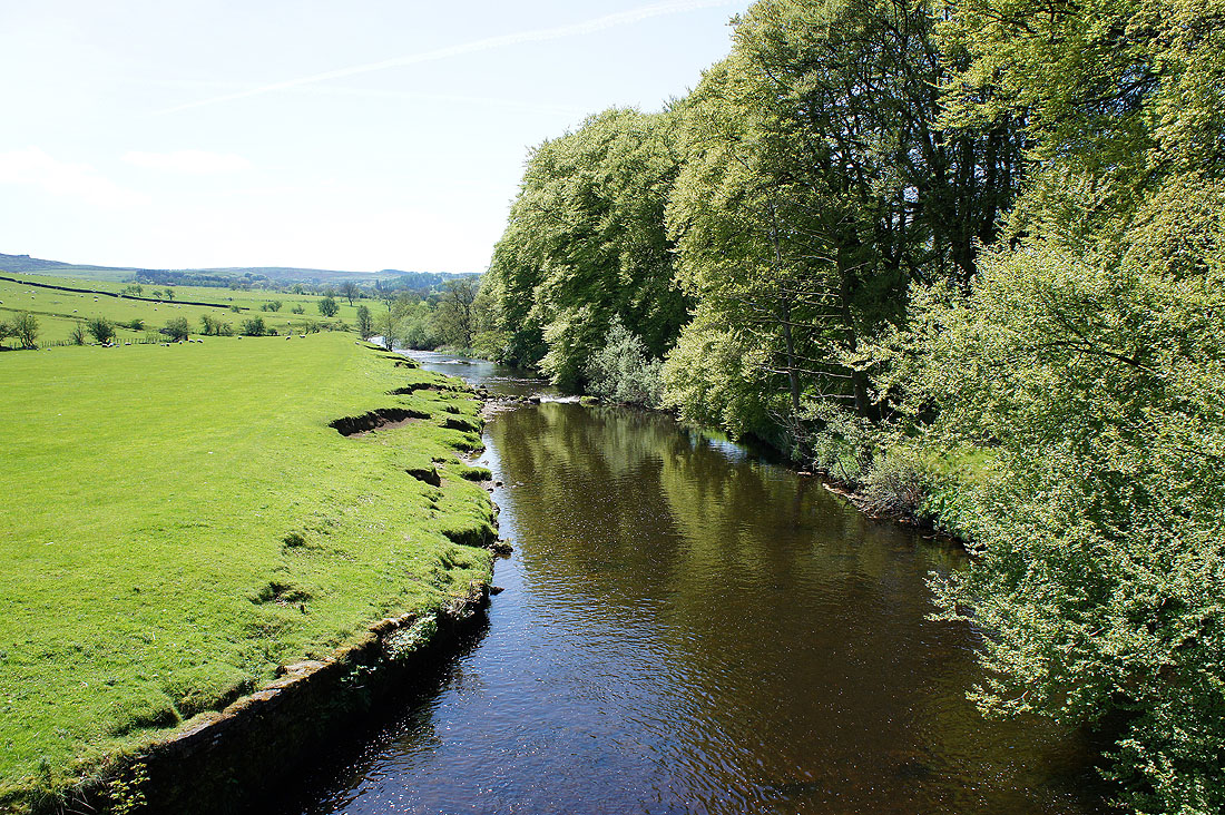
..and downstream
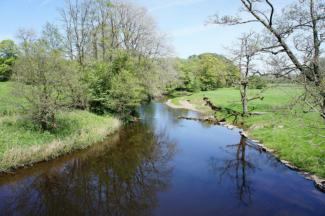
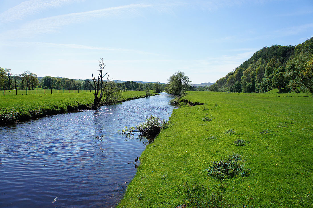
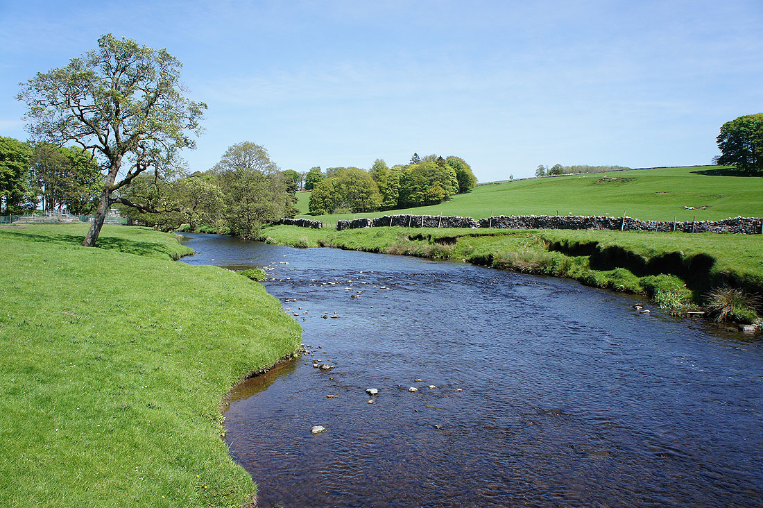
A short distance upstream and there's a fantastic view of the river
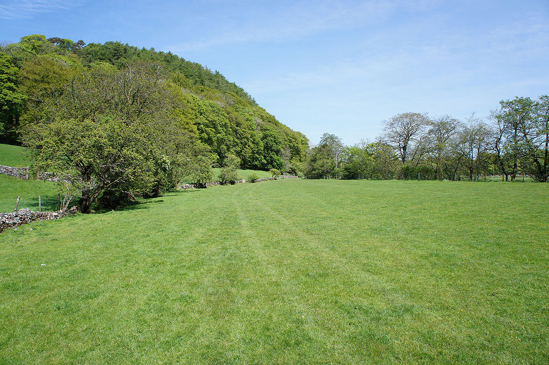
Heading under the wooded hill of Great Dunnow
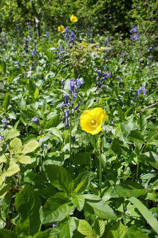
Bluebells and poppies in Great Dunnow Wood
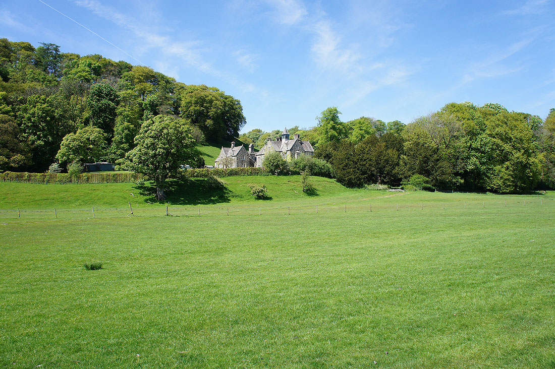
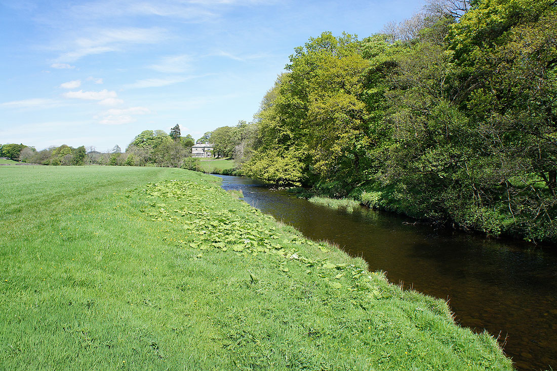
Dunnow Hall
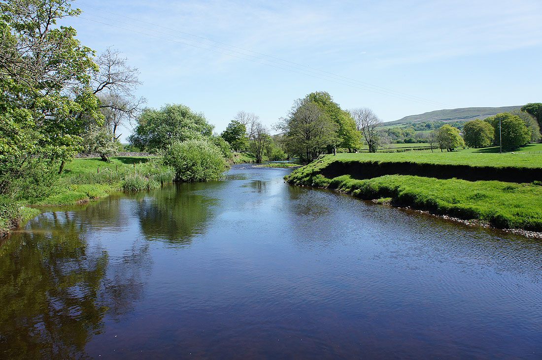
By the River Hodder back to Slaidburn....
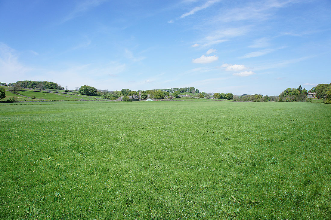
Slaidburn across the field but..
..I'll continue on the riverside path back to the village green where I started from