17th May 2020 - Foulridge to Blacko and back
Walk Details
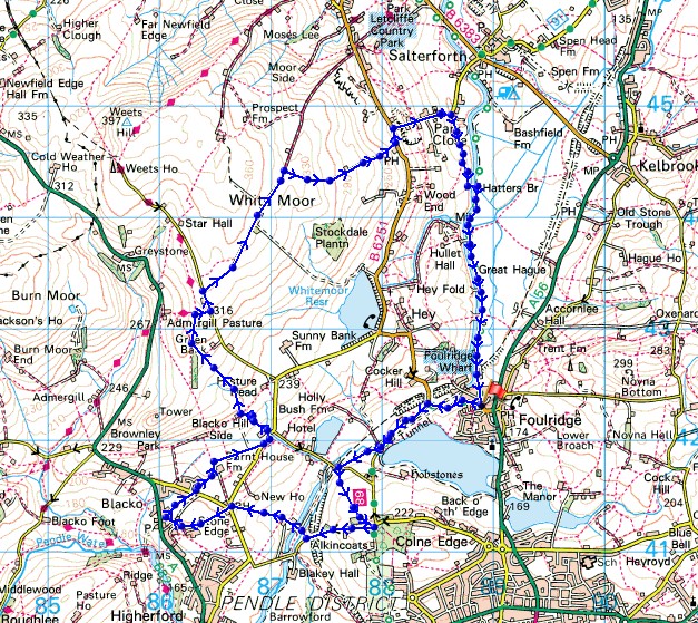
Distance walked: 8.1 miles
Total ascent: 998 ft
OS map used: OL21 - South Pennines
Time taken: 4 hrs
Route description: Foulridge-B6251-Reedymoor Lane-Slipper Hill-Red Lane-Wanless Bridge-Barnoldswick Road-Great Stonedge Farm-Blacko-Beverley Road-Burnt House Farm-Barnoldswick Road-Malkin Tower Farm-Blacko Hill-Gisburn Old Road-Lister Well Road-High Lane-Moor Lane-Salterforth Lane-Hatters Bridge-Leeds and Liverpool Canal-Foulridge
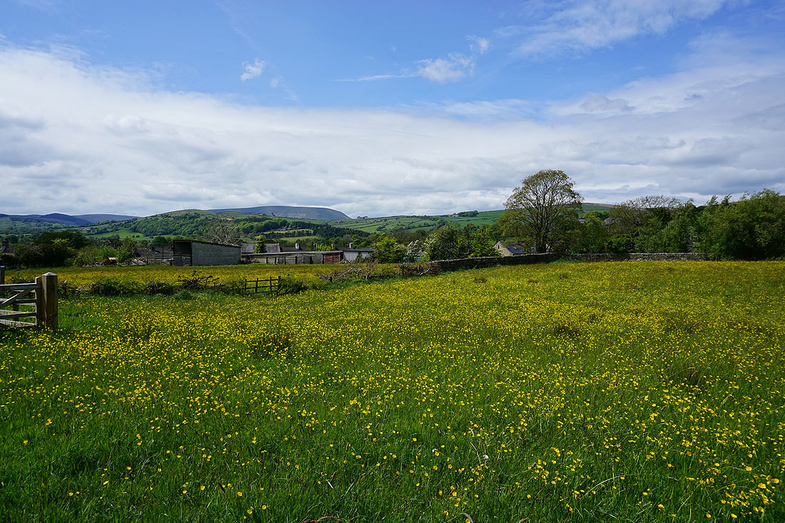
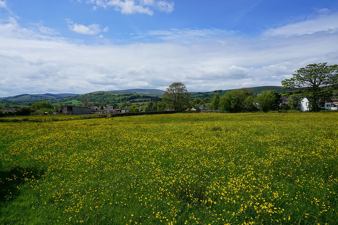
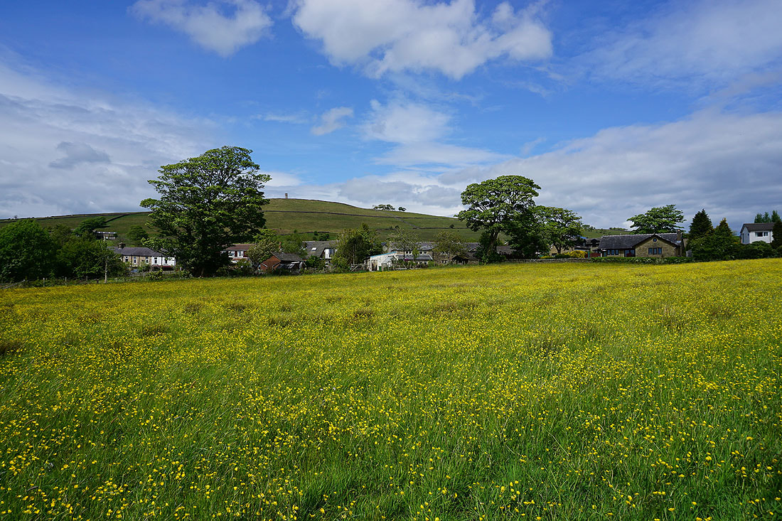
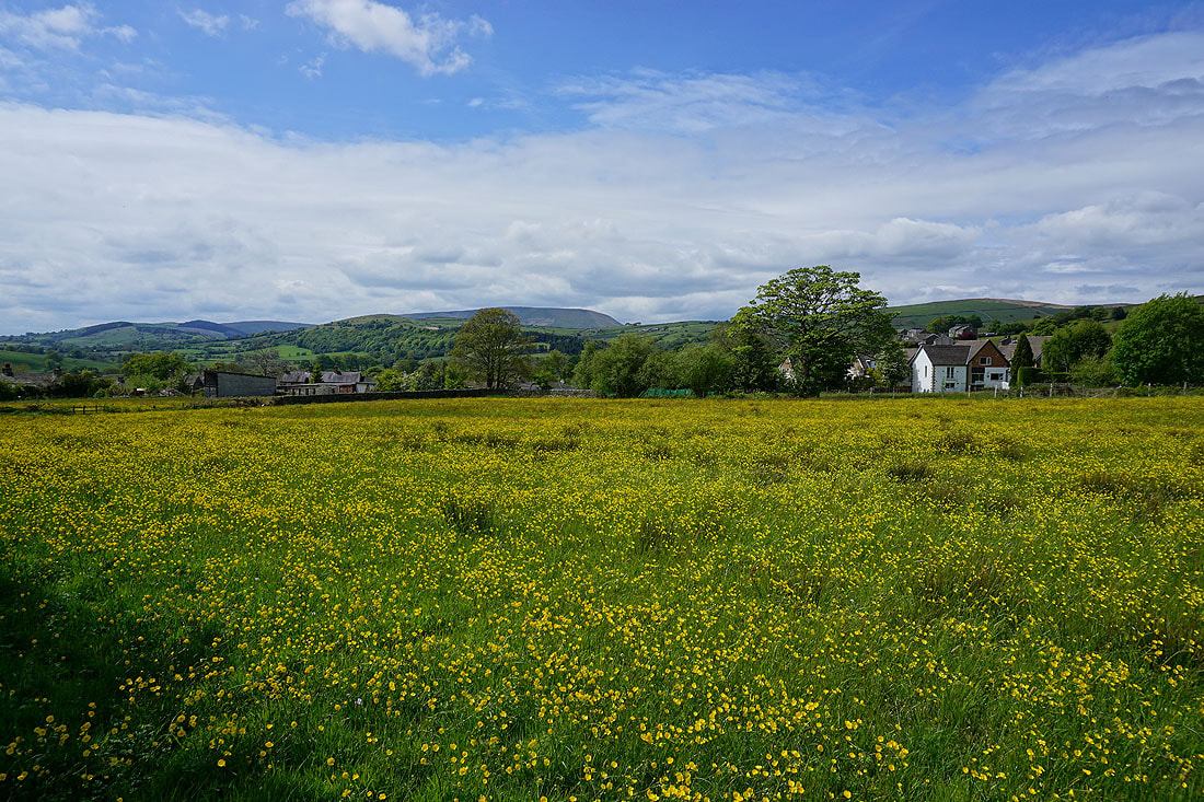
After yesterday afternoon's very enjoyable walk from home I've decided to head out for another one this afternoon. This time I'm going to go in the opposite direction and follow a route across the moors to the west of Foulridge. It had to include going past the buttercup filled fields in Blacko that I knew should be putting on a good display, and they certainly were in the spring sunshine, and the cotton grass on White Moor looked pretty good as well. Another fine spring day amongst the many there have been during recent weeks.
From where I live in Foulridge I walked west along the B6251 to Reedymoor Lane, and then along Reedymoor Lane to below Foulridge Lower Reservoir, where I took a bridleway to Slipper Hill. I then crossed the lane and took a footpath up the hillside opposite to Red Lane, then walked down Red Lane towards Blakey Bridge, taking a footpath on the right down to Wanless Bridge over the Leeds and Liverpool Canal. After crossing the bridge I followed a footpath up a field edge to arrive at Barnoldswick Road opposite the Cross Gaits Inn. I crossed the road and took a footpath opposite along the edge of a field to Great Stonedge Farm and then down into Blacko, where I followed a footpath from Back Gisburn Road along a field edge to Beverley Road. After crossing the road I took the path opposite to Burnt House Farm and then to Barnoldswick Road, where after a brief walk north along the road I took a footpath on the left uphill past Malkin Tower Farm and Greenbank Farm onto Blacko Hill. After crossing a wall I took a path north, then bridleway east to reach Gisburn Old Road and after a short walk north along the road I reached the bridleway of Lister Well Road. I then followed Lister Well Road northeast until I reached a footpath on the right, which I took and followed downhill to High Lane. After a short walk north along High Lane I turned right and walked down Moor Lane and Salterforth Lane to the bottom of the hill. Here I took a track on the right, and the footpath from the end of this down to Hatters Bridge over the Leeds and Liverpool Canal. Once across the bridge I followed the towpath south back to Foulridge.
Route map
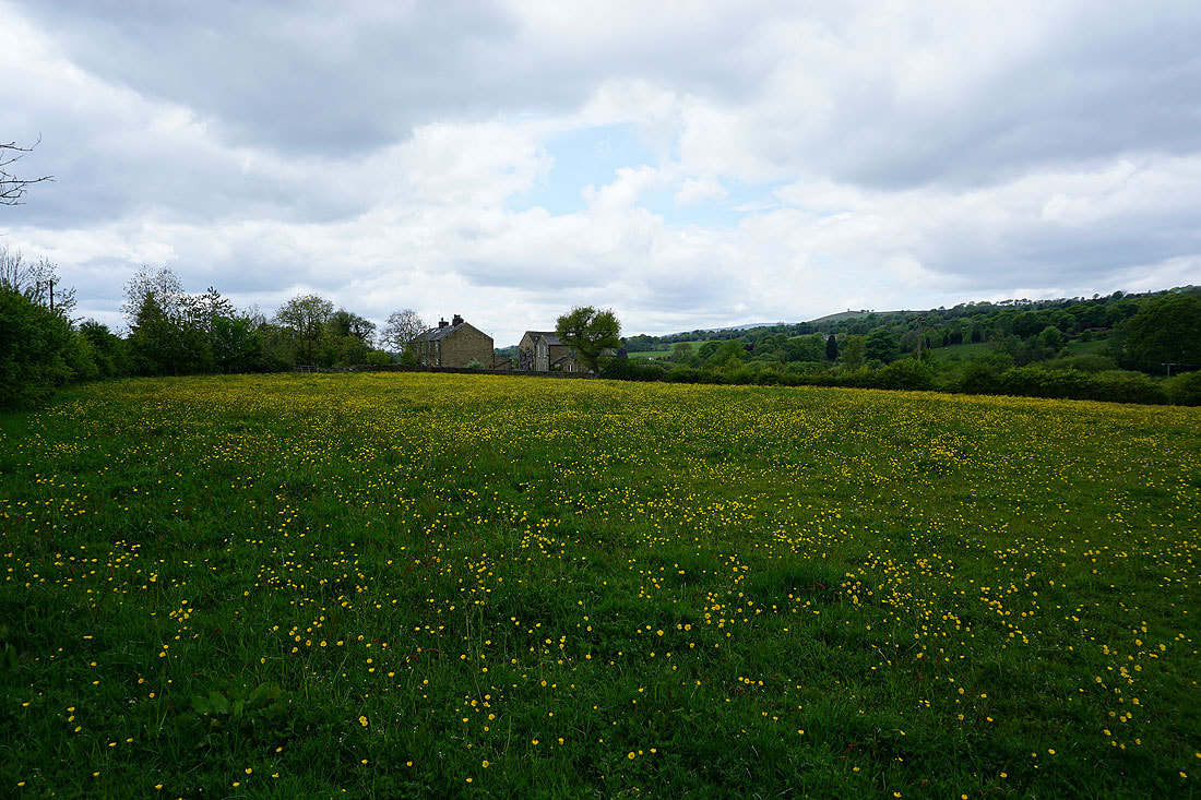
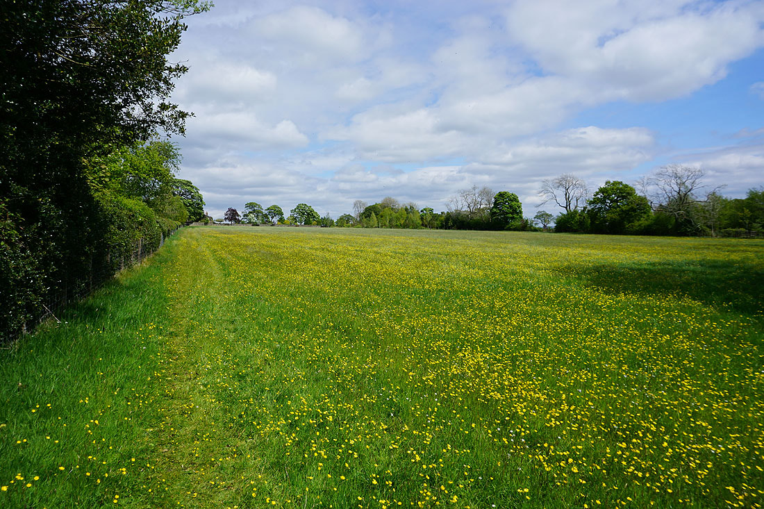
Buttercup filled fields next to Reedymoor Lane..
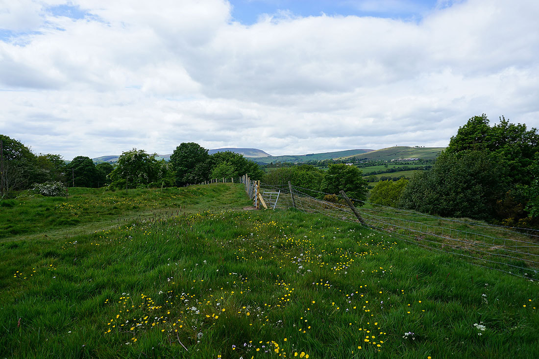
To avoid a section of busy canal towpath I take a footpath up a hillside to Red Lane. It has a good view of Pendle Hill in the distance.
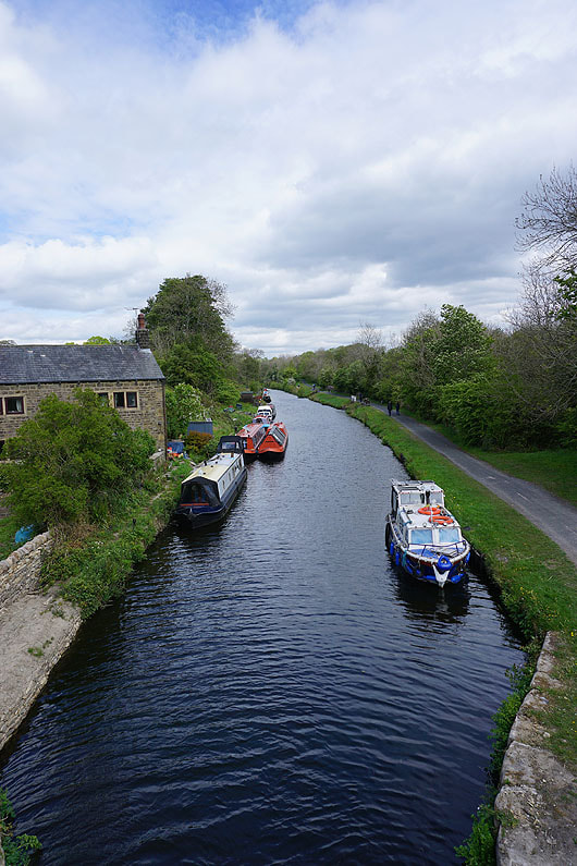
Crossing the Leeds and Liverpool Canal by Wanless Bridge
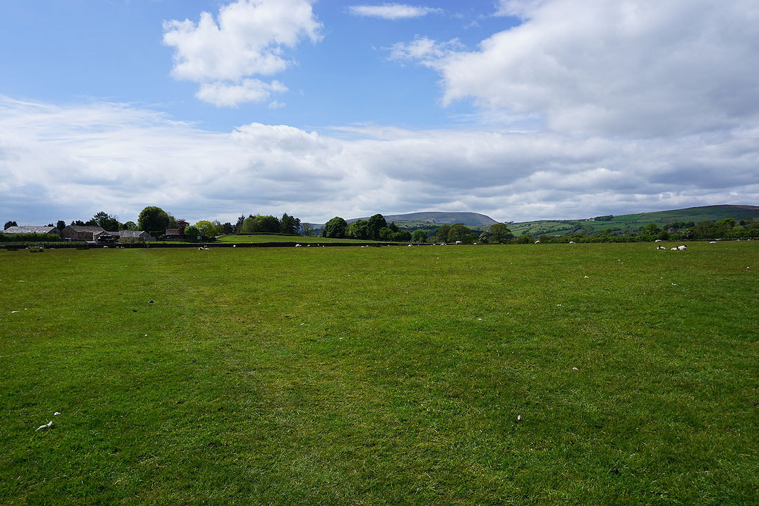
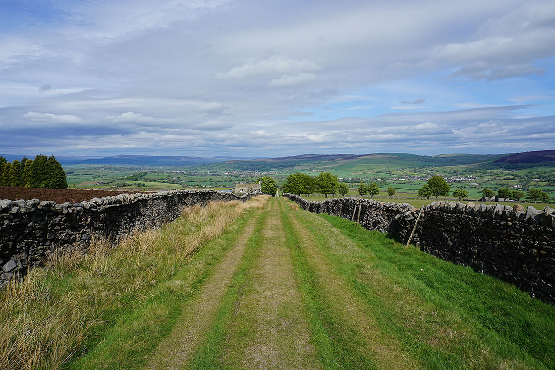
Pendle Hill ahead as I follow the footpath from Barnoldswick Road to Great Stonedge Farm
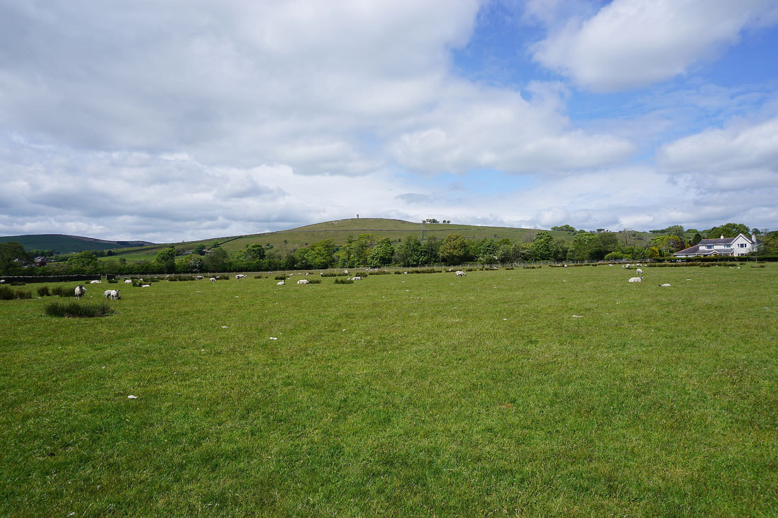
Blacko Hill to my right
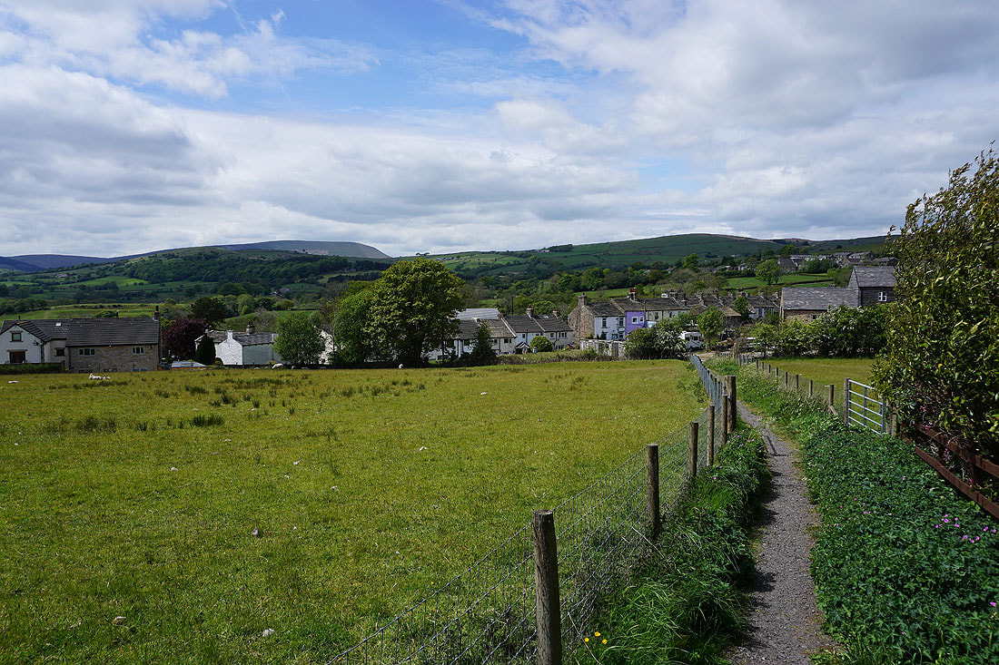
Heading down into Blacko
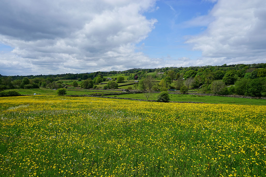
The buttercup filled fields by the path from Blacko to Beverley Road were worth waiting for the sun to come out for....
More buttercups by the path to Burnt House Farm
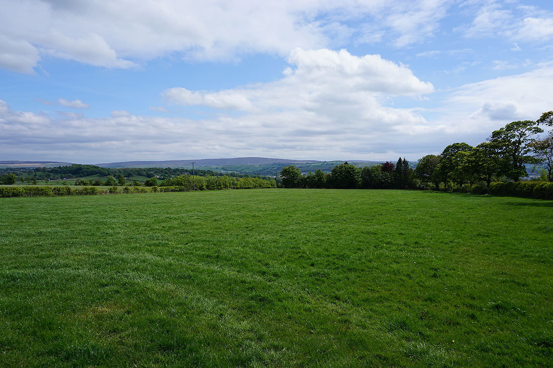
Boulsworth Hill in the distance to the south
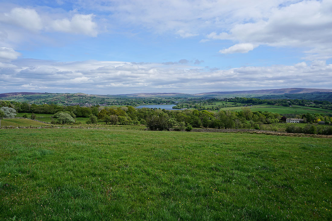
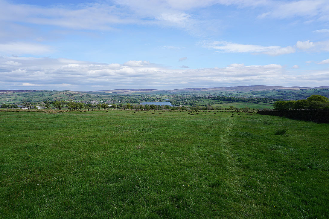
Looking back to Kelbrook Moor, Foulridge Lower Reservoir, Ickornshaw Moor and Boulsworth Hill from the path up past Malkin Tower Farm onto Blacko Hill..
On Blacko Hill and on the path past Peel's House on Gisburn Old Road
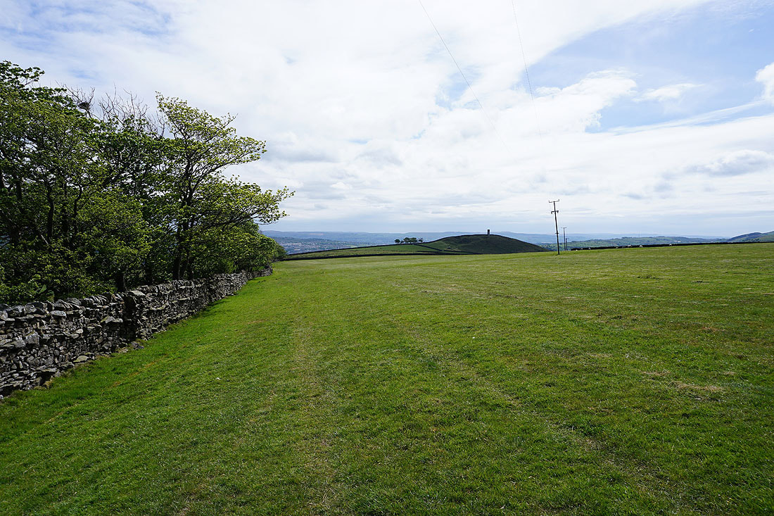
Blacko Hill
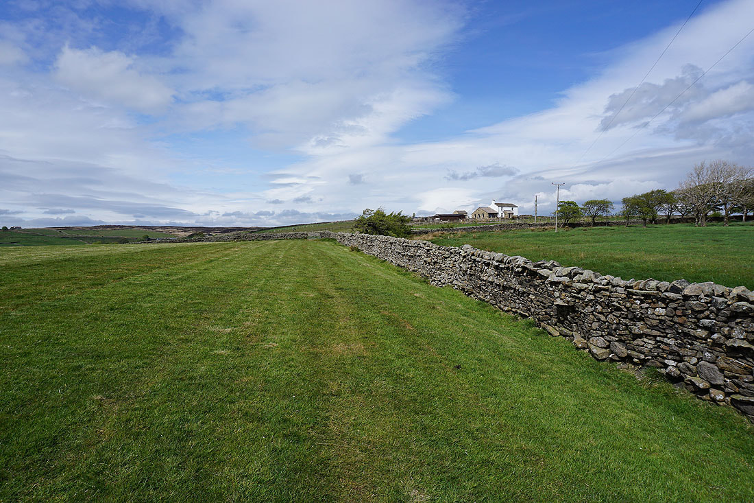
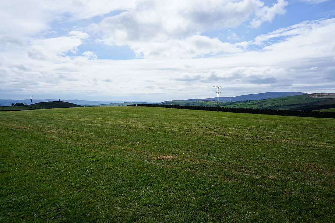
Blacko Hill and Pendle Hill
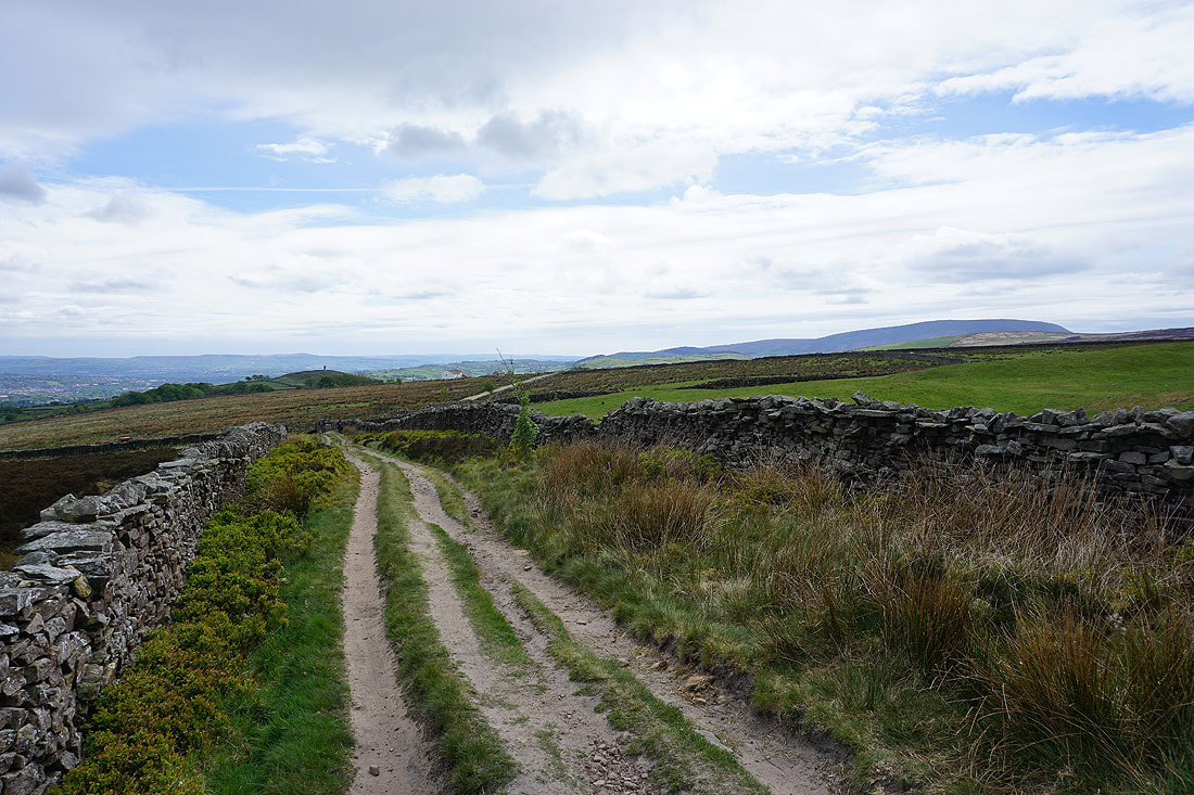
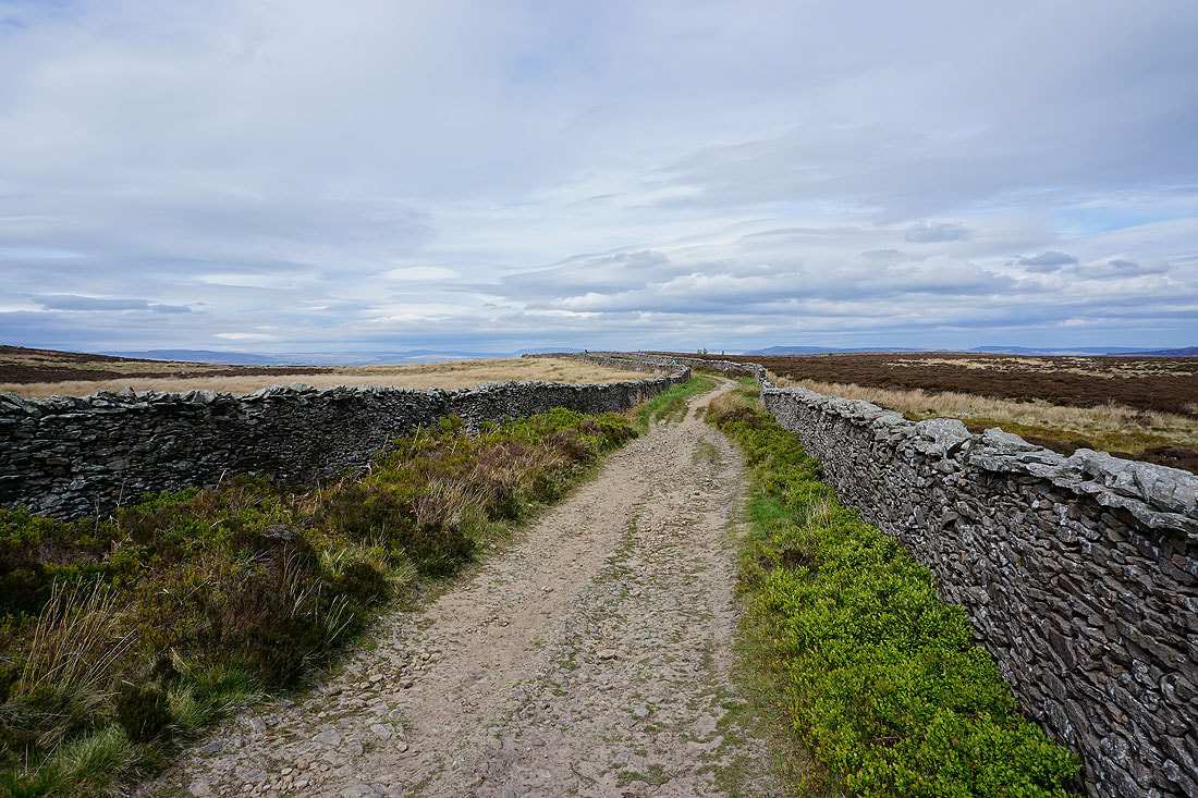
On the bridleway of Lister Well Road and looking back to Blacko Hill and Pendle Hill
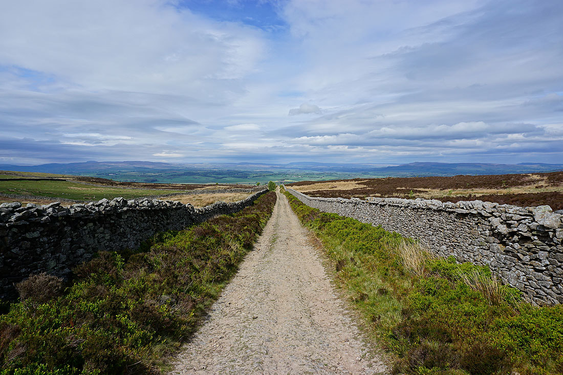
Great views to Great Whernside and the moors around Wharfedale as I follow Lister Well Road..
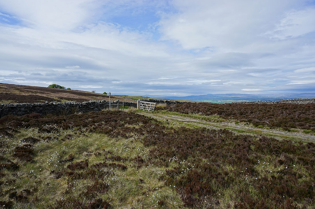
Ingleborough and Penyghent in the distance as I leave Lister Well Road for the footpath down to High Lane
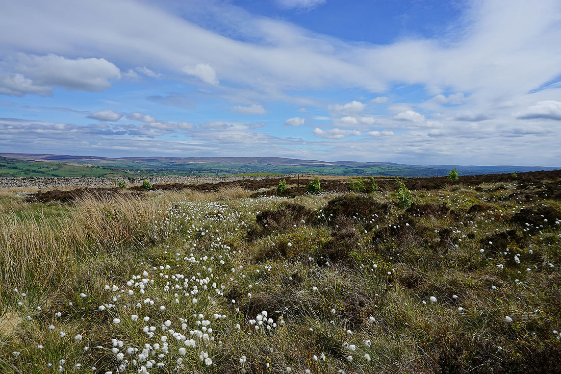
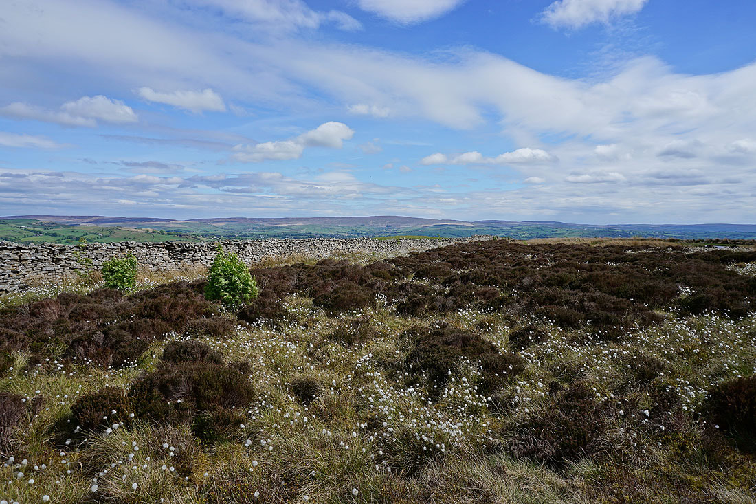
A distant Boulsworth Hill from a cotton grass covered moor..
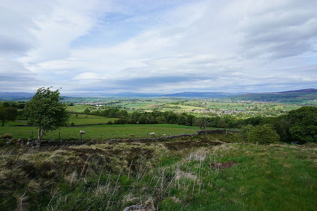
Barden Moor and Bleara Moor as I follow the footpath down past Copy Nook to High Lane
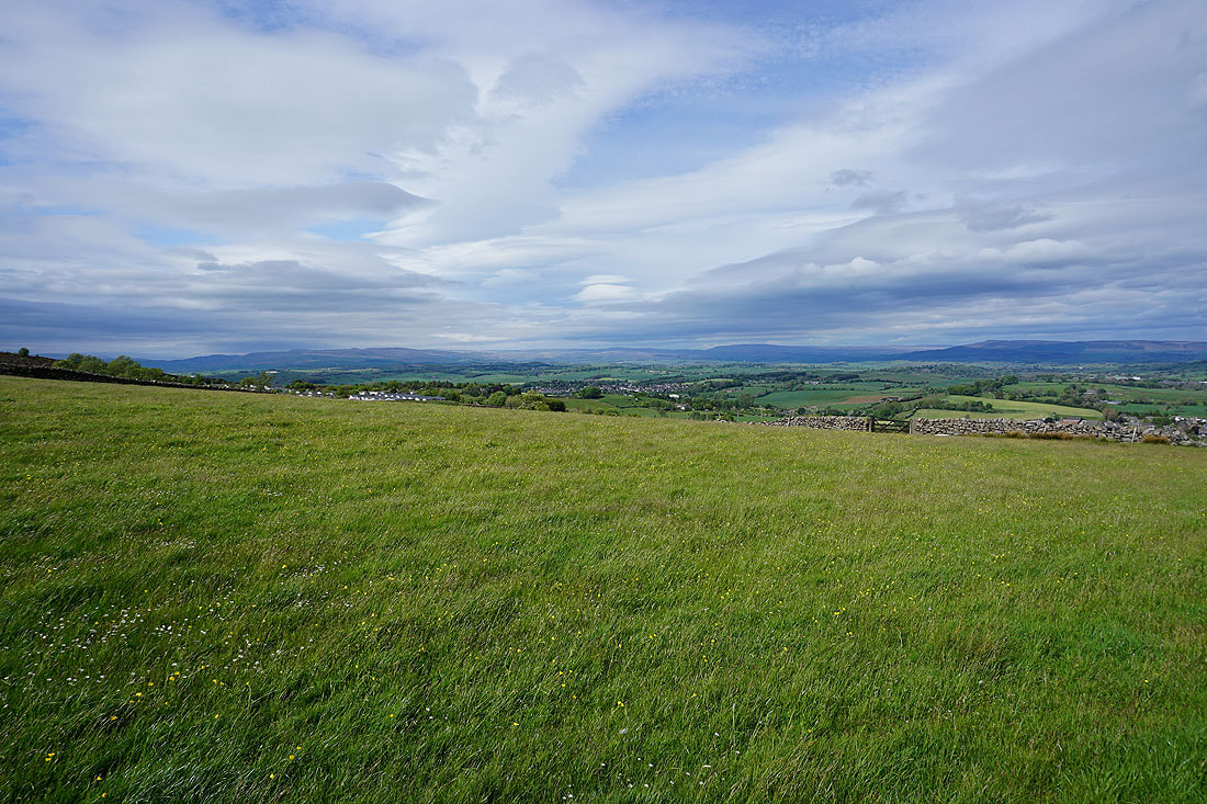
Great looking sky above the moors around Wharfedale..
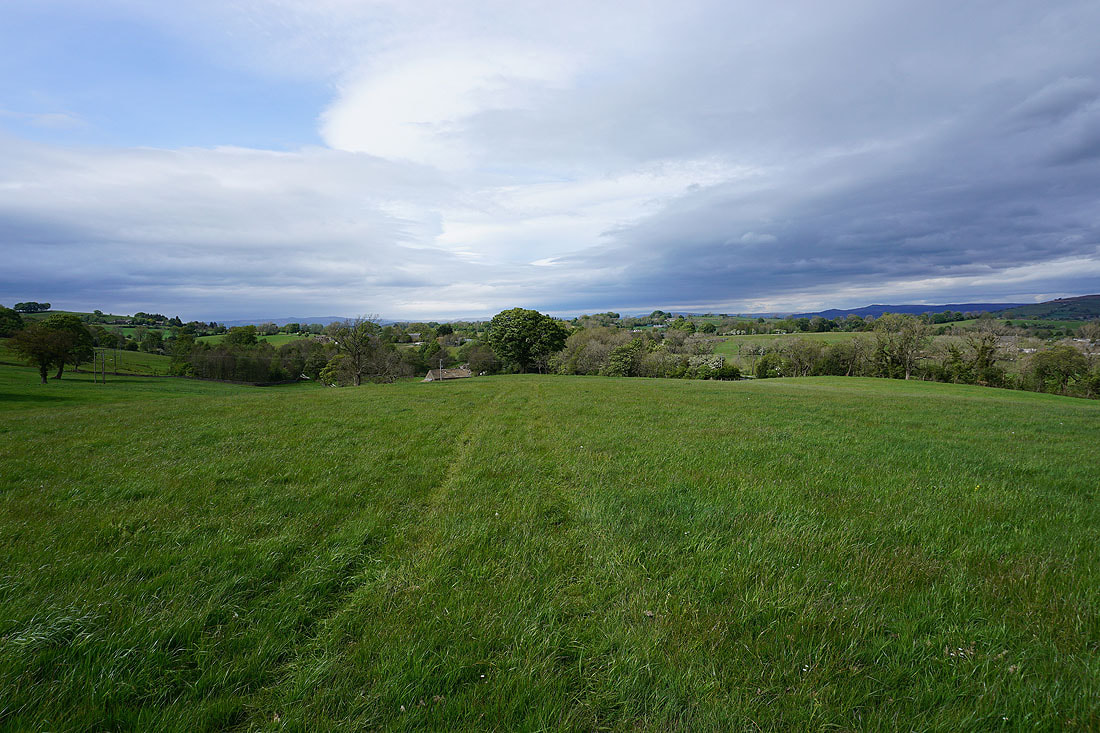
Looking back as I follow the footpath from Salterforth Lane..
..down to Hatters Bridge over the Leeds and Liverpool Canal
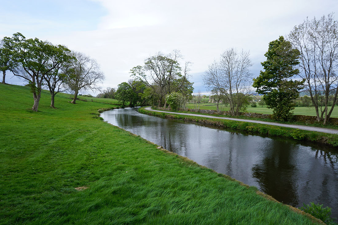
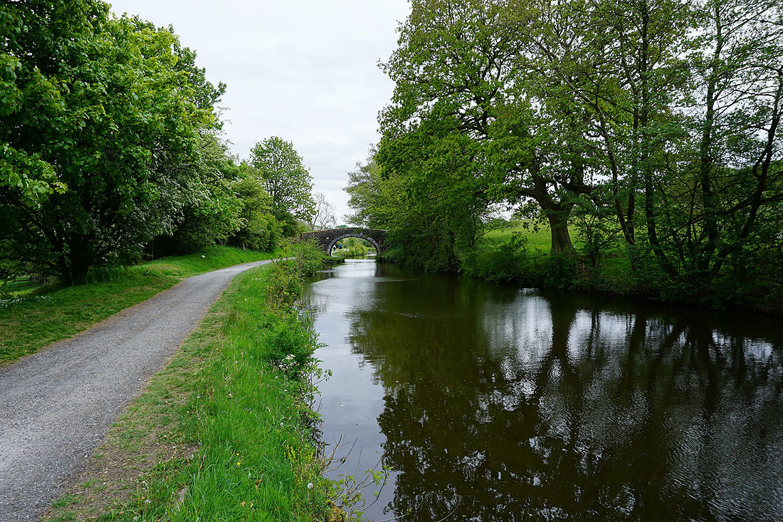
On the towpath by the Leeds and Liverpool Canal back to Foulridge
