17th May 2021 - Weets Hill
Walk Details
Distance walked: 8.6 miles
Total ascent: 1362 ft
OS map used: OL21 - South Pennines
Time taken: 4 hrs
Route description: Foulridge-Hey-Hey Fold-Booth House Farm-High Lane-Copy Nook-Lister Well Road-Higher View Farm-Duck Pond Farm-Weets Hill-Weets House Farm-Gisburn Old Road-Blacko Hill-Hollin Hall-Barnoldswick Road-Slipper Hill Reservoir-Reedymoor Lane-Foulridge Lower Reservoir-B6251-Foulridge
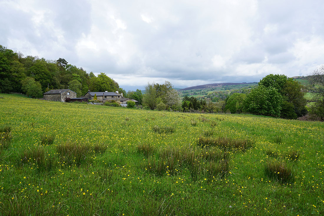
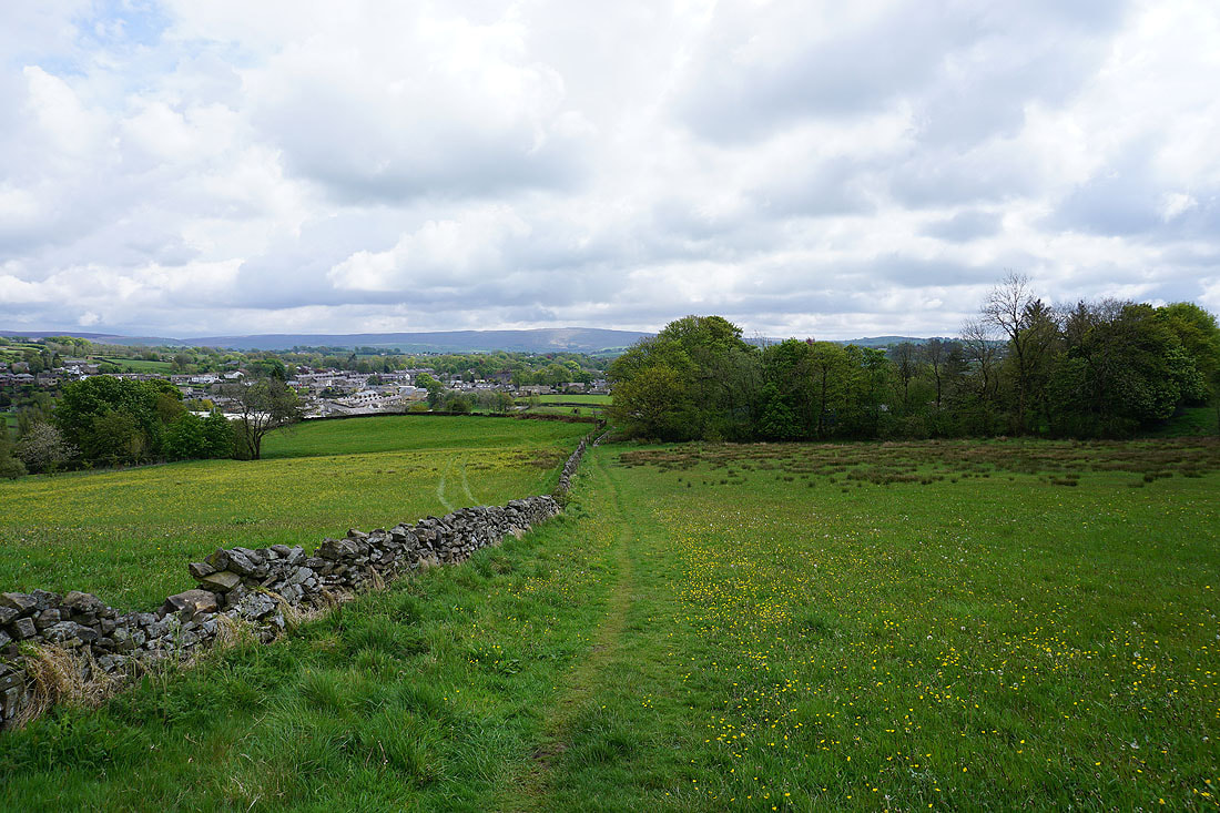
It's a good job that I'd booked Friday and Monday off work because the weather during the weekend wasn't up to much. Today it took until after midday for the showers of the morning to clear and for it to brighten up, so I decided to have a walk from home to Weets Hill and back. By the time I set off the sun was out, and it stayed dry for the rest of the afternoon with sunny spells and a brisk westerly breeze. The showers hadn't gone away though. They were just to the north over the Yorkshire Dales and gave me some dramatic skies to photograph.
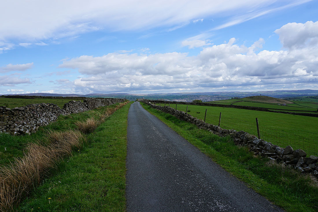
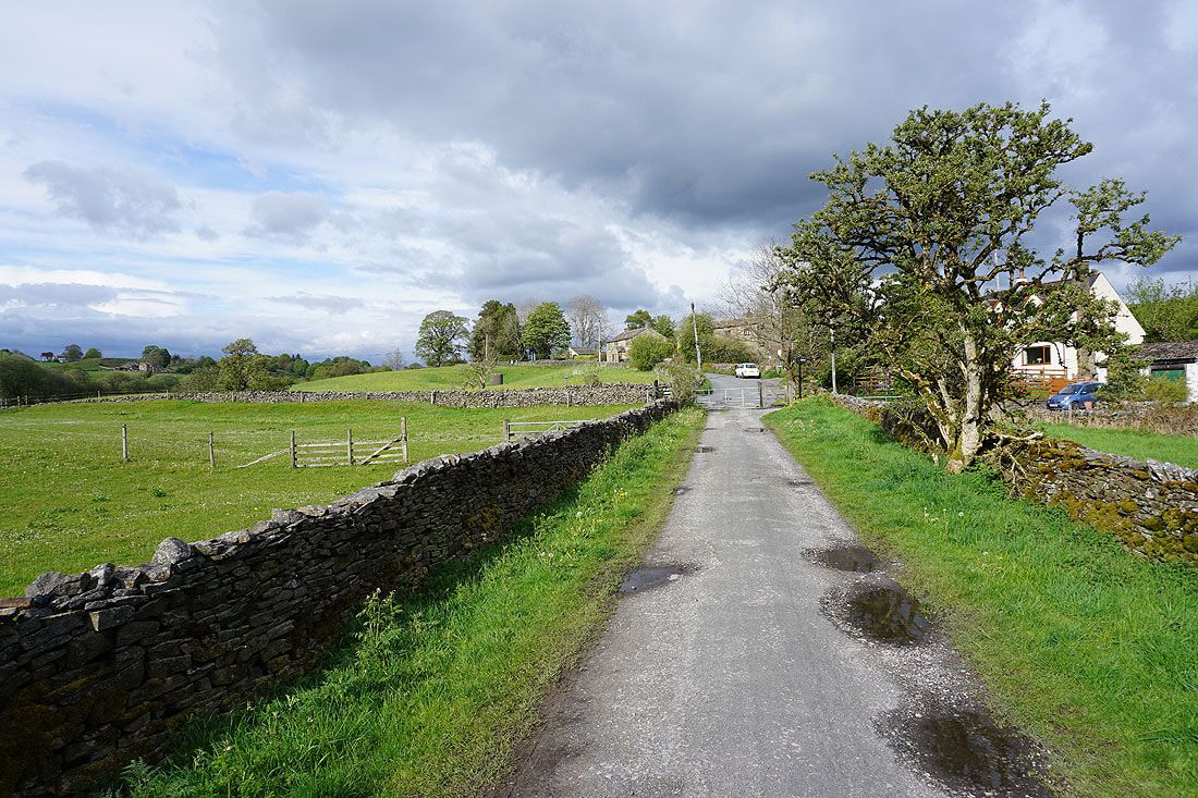
Setting off from home I walked to the western end of Station Road and took the footpath straight up the hill and across fields to the corner of Whitemoor Road. Here I turned right and took a lane past some houses, then a footpath on the right down to Hey Fold. The next bit was a little complicated as I took the footpath right at Hey Fold, then left across the crest of a little hill and past Hullet Hall down to County Brook Lane. I briefly walked down the lane, took a footpath on the left through a patch of woodland and across a bridge over County Brook, before resuming following footpaths north across fields past Wood End Farm to Booth House Farm, where I took a footpath up a field to High Lane. I then walked a short distance north along High Lane, then took a track on the left and followed it uphill past Copy Nook to the bridleway of Lister Well Road. I then walked down Lister Well Road until I reached a gate on the left and a footpath across access land to Higher View Farm at the top of Folly Lane. I then turned left and followed the bridleway up to Duck Pond Farm, then the footpath round the farm and onto access land, before turning right and following a path by a wall to the top of Weets Hill. After taking in the view I took the Pendle Way to reach Weets House Farm at the top of Gisburn Old Road. I then walked down Gisburn Old Road until I reached Peel House Farm where I took a bridleway on the right, turned left onto a footpath by a wall across fields onto Blacko Hill, then crossed the wall and followed a footpath down through fields to Hollin Hall on Barnoldswick Road. I crossed the road and took the footpath opposite down through fields to where it meets the lane by Slipper Hill Reservoir. I then took the footpath round Slipper Hill Reservoir to reach a track past Sand Hall to reach Reedymoor Lane, which I crossed to reach Foulridge Lower Reservoir. After walking north by Foulridge Lower Reservoir I took a ladder stile on the left for a footpath up across fields to the B6251 for a return to Foulridge and home.
Total ascent: 1362 ft
OS map used: OL21 - South Pennines
Time taken: 4 hrs
Route description: Foulridge-Hey-Hey Fold-Booth House Farm-High Lane-Copy Nook-Lister Well Road-Higher View Farm-Duck Pond Farm-Weets Hill-Weets House Farm-Gisburn Old Road-Blacko Hill-Hollin Hall-Barnoldswick Road-Slipper Hill Reservoir-Reedymoor Lane-Foulridge Lower Reservoir-B6251-Foulridge
It's a good job that I'd booked Friday and Monday off work because the weather during the weekend wasn't up to much. Today it took until after midday for the showers of the morning to clear and for it to brighten up, so I decided to have a walk from home to Weets Hill and back. By the time I set off the sun was out, and it stayed dry for the rest of the afternoon with sunny spells and a brisk westerly breeze. The showers hadn't gone away though. They were just to the north over the Yorkshire Dales and gave me some dramatic skies to photograph.
Setting off from home I walked to the western end of Station Road and took the footpath straight up the hill and across fields to the corner of Whitemoor Road. Here I turned right and took a lane past some houses, then a footpath on the right down to Hey Fold. The next bit was a little complicated as I took the footpath right at Hey Fold, then left across the crest of a little hill and past Hullet Hall down to County Brook Lane. I briefly walked down the lane, took a footpath on the left through a patch of woodland and across a bridge over County Brook, before resuming following footpaths north across fields past Wood End Farm to Booth House Farm, where I took a footpath up a field to High Lane. I then walked a short distance north along High Lane, then took a track on the left and followed it uphill past Copy Nook to the bridleway of Lister Well Road. I then walked down Lister Well Road until I reached a gate on the left and a footpath across access land to Higher View Farm at the top of Folly Lane. I then turned left and followed the bridleway up to Duck Pond Farm, then the footpath round the farm and onto access land, before turning right and following a path by a wall to the top of Weets Hill. After taking in the view I took the Pendle Way to reach Weets House Farm at the top of Gisburn Old Road. I then walked down Gisburn Old Road until I reached Peel House Farm where I took a bridleway on the right, turned left onto a footpath by a wall across fields onto Blacko Hill, then crossed the wall and followed a footpath down through fields to Hollin Hall on Barnoldswick Road. I crossed the road and took the footpath opposite down through fields to where it meets the lane by Slipper Hill Reservoir. I then took the footpath round Slipper Hill Reservoir to reach a track past Sand Hall to reach Reedymoor Lane, which I crossed to reach Foulridge Lower Reservoir. After walking north by Foulridge Lower Reservoir I took a ladder stile on the left for a footpath up across fields to the B6251 for a return to Foulridge and home.
Route map
© Crown copyright. All rights reserved. License number PU 100034184.
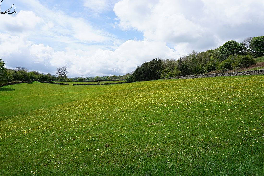
Sunshine and buttercups as I leave Foulridge behind...
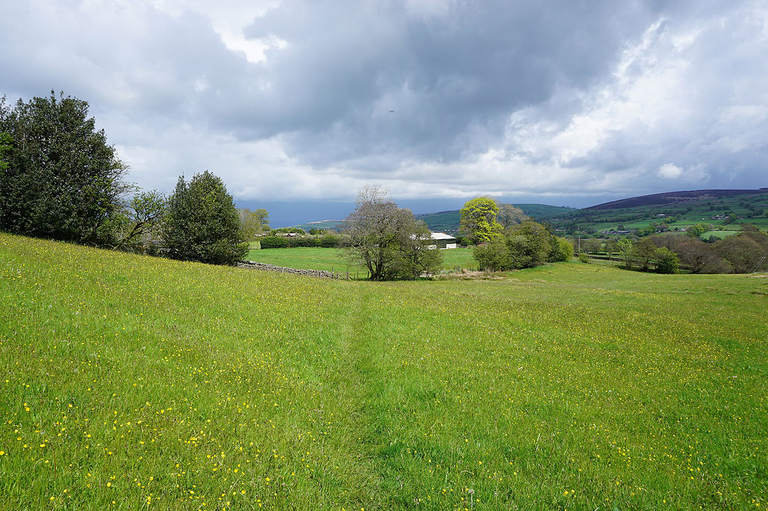
Dark clouds in the distance over the Yorkshire Dales as I head north to County Brook..
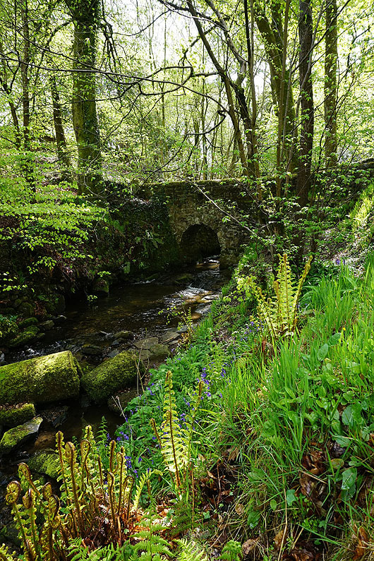
The footbridge over County Brook
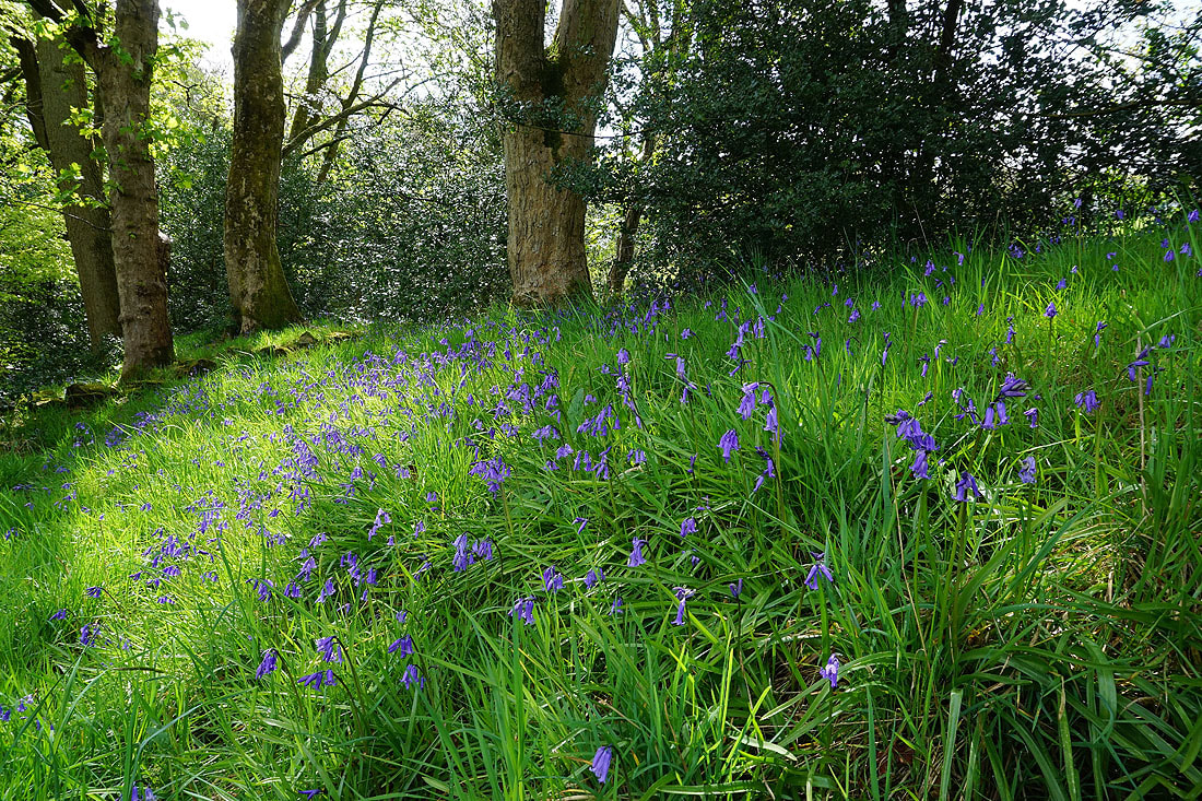
A patch of bluebells above County Brook
Bleara Moor, Kelbrook and Kelbrook Moor as I head up to High Lane
Barden Moor, Thornton Moor and Bleara Moor from High Lane
On the track past Copy Nook up to Lad Lowe Hill
Looking back to Barden Moor, Thornton Moor and Bleara Moor in the distance
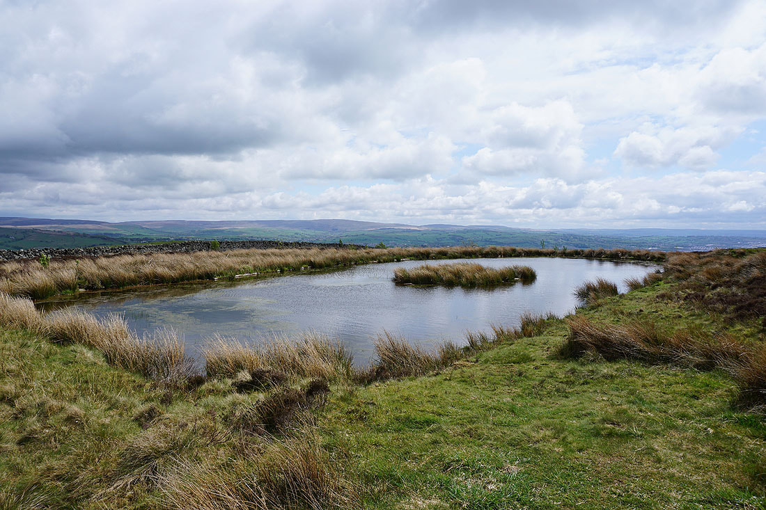
Boulsworth Hill in the distance from the pool on Lad Lowe Hill
and Barden Moor, Thornton Moor and Bleara Moor
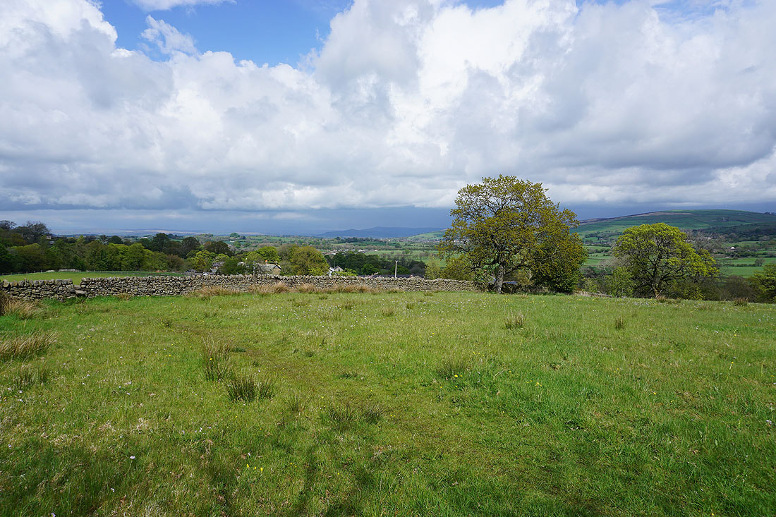
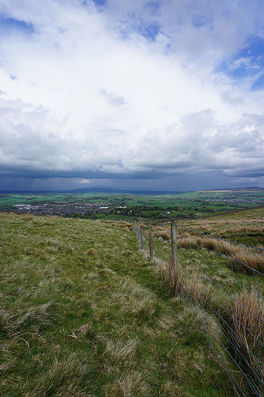
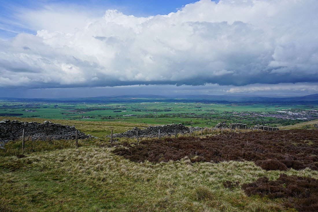
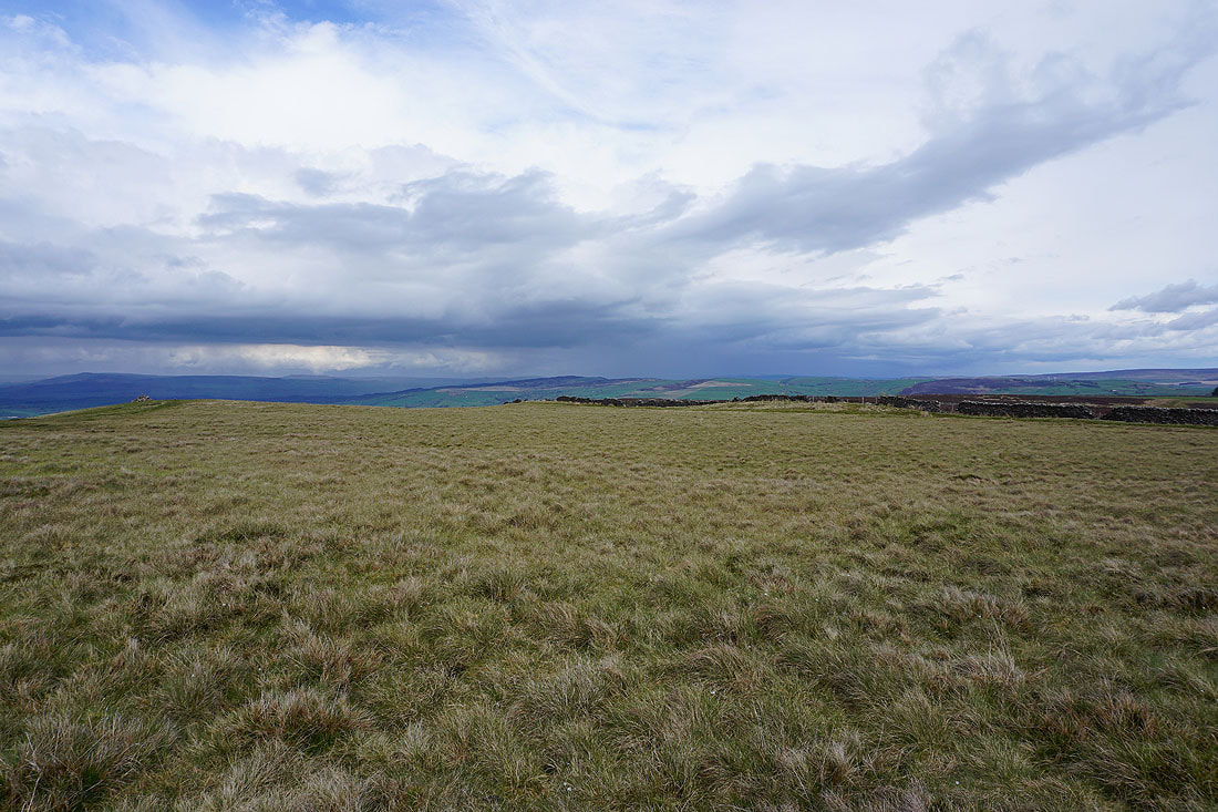
The gate onto access land on Lad Lowe Hill with showers to the north over the Yorkshire Dales
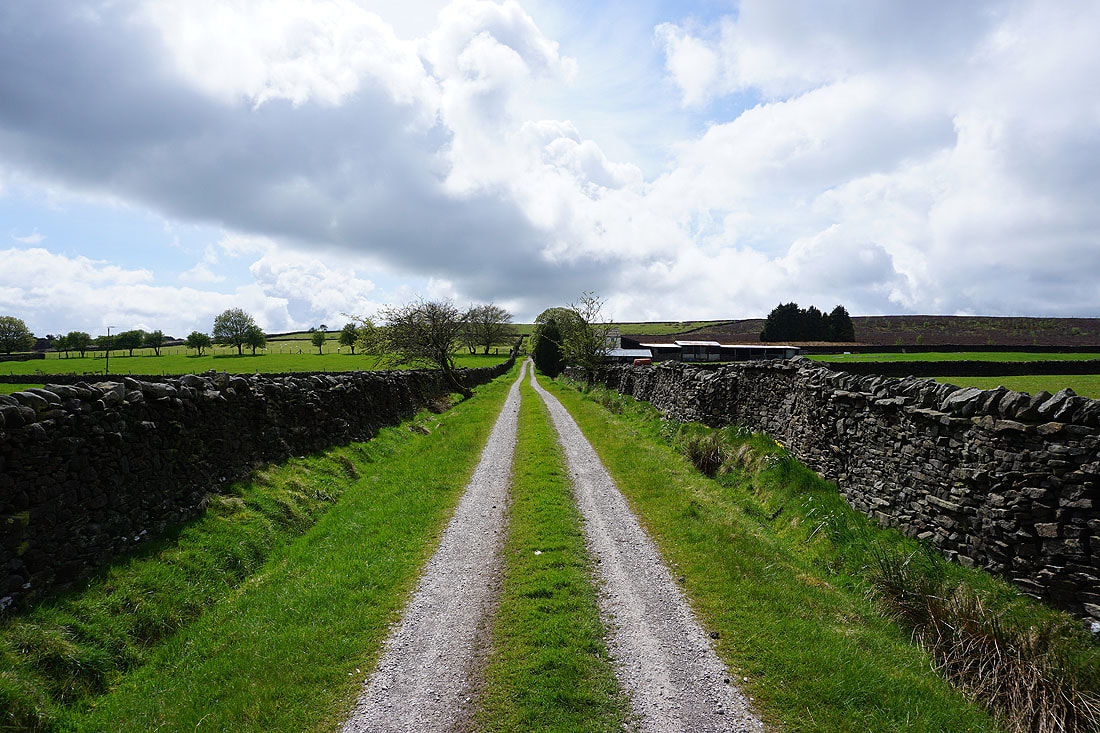
Onto the bridleway of Lister Well Road
Heading north down Lister Well Road..
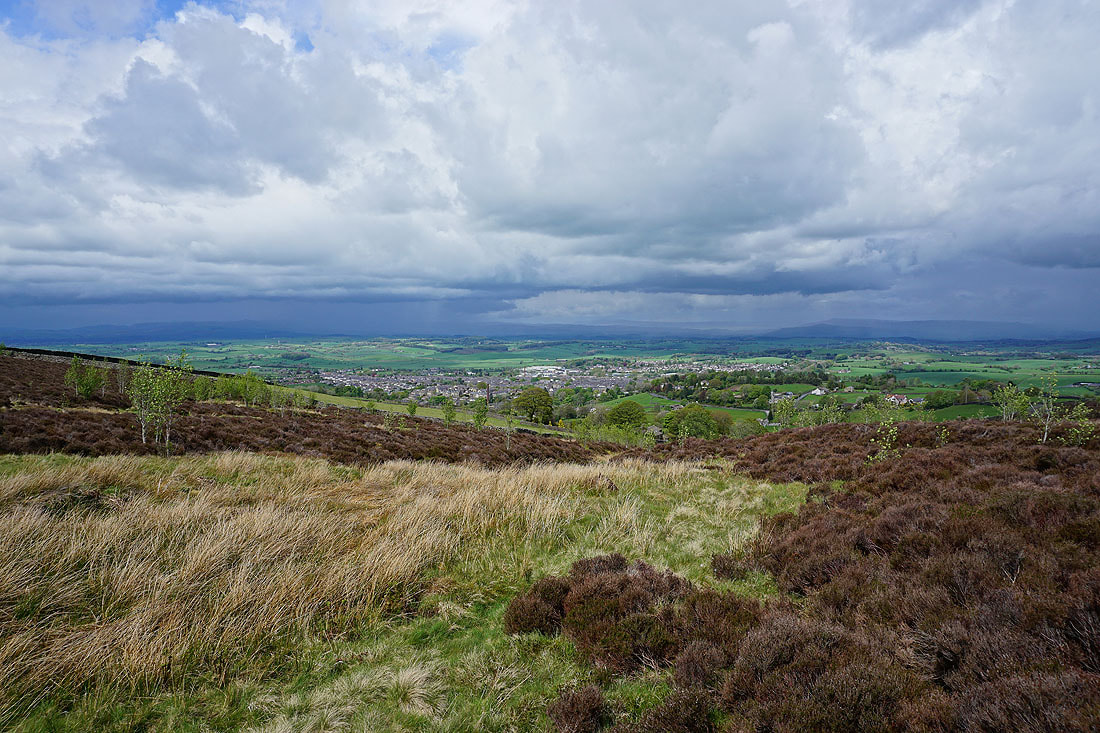
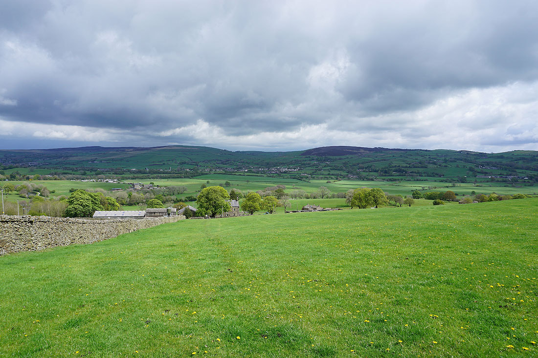
The town of Barnoldswick below as I cross the moor to Higher View Farm
and Barden Moor, Thornton Moor and Earby
Dramatic skies
Heading the bridleway from Higher View Farm to Duck Pond Farm
Plenty of showers to the north over the Yorkshire Dales..
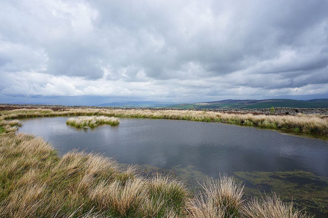
Still keeping on eye on things at Duck Pond Farm
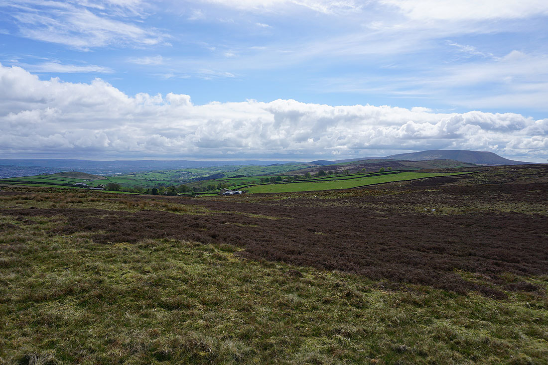
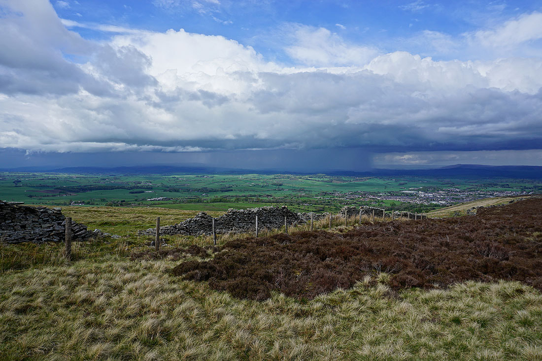
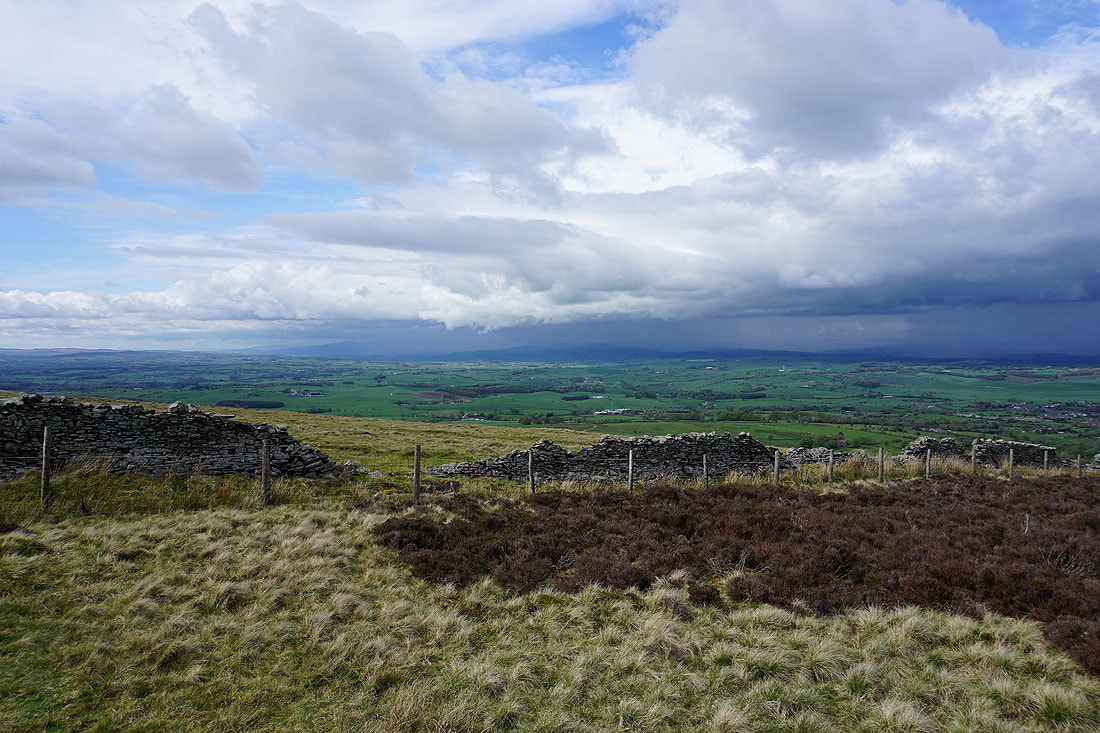
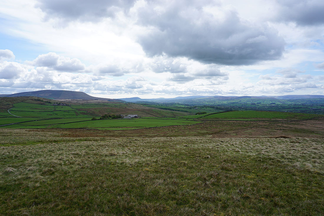
Blacko Hill, the Forest of Pendle and Pendle Hill
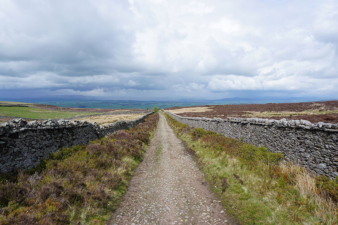
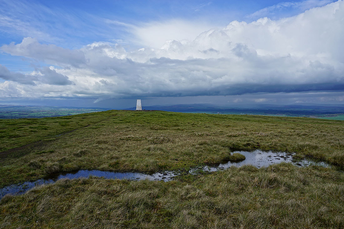
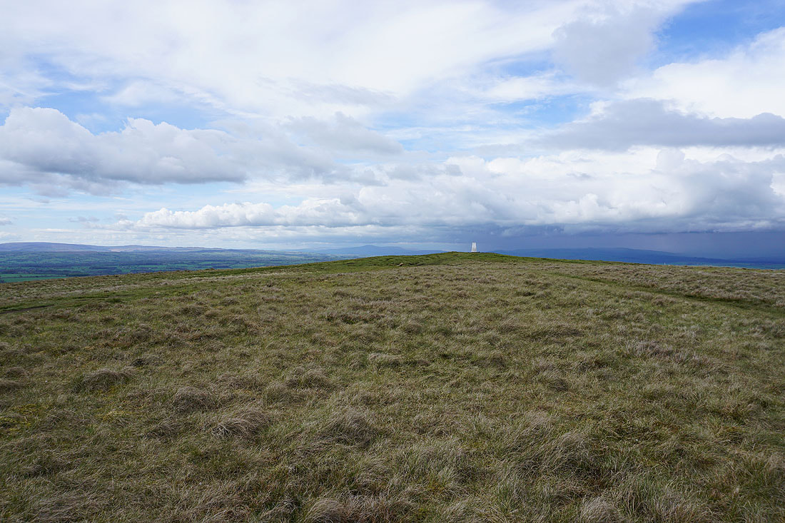
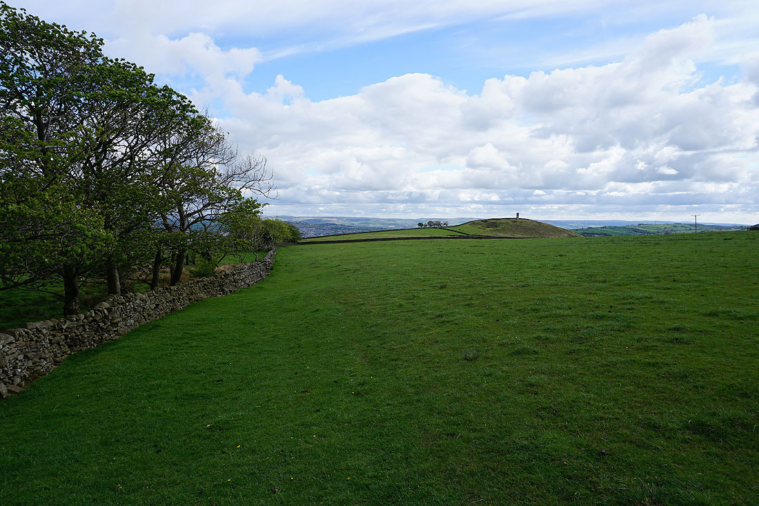
At the eastern end of Weets Hill with views to the Yorkshire Dales..
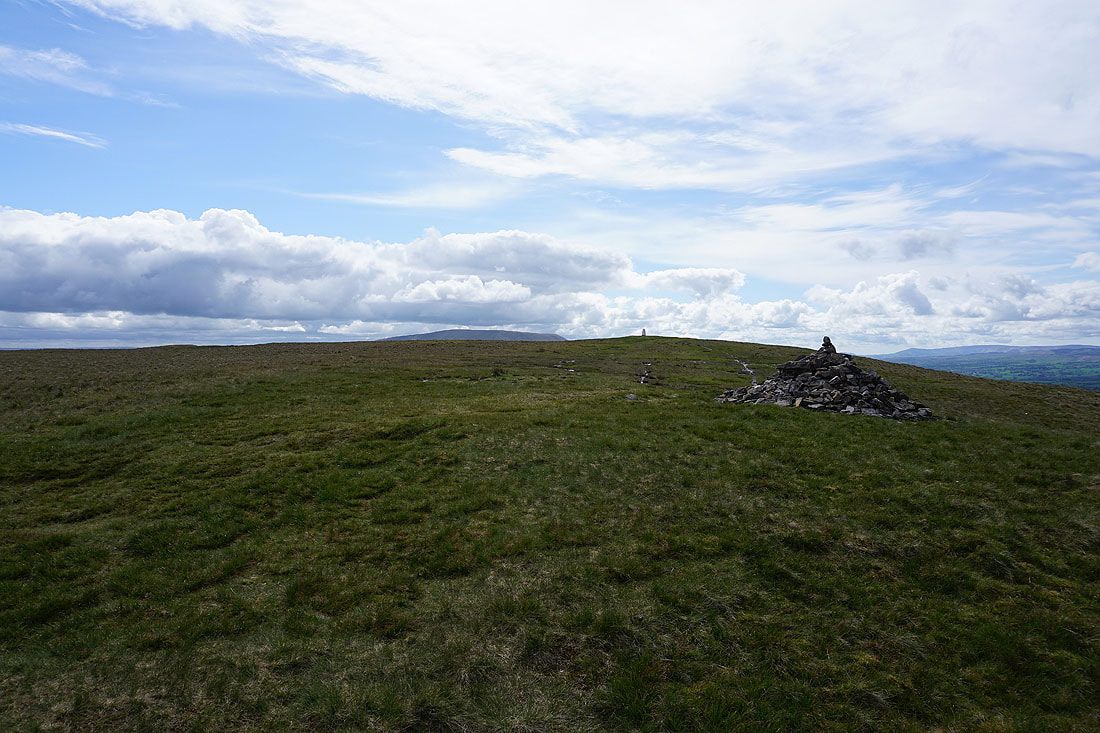
Looking towards the trig point and the top of Pendle Hill
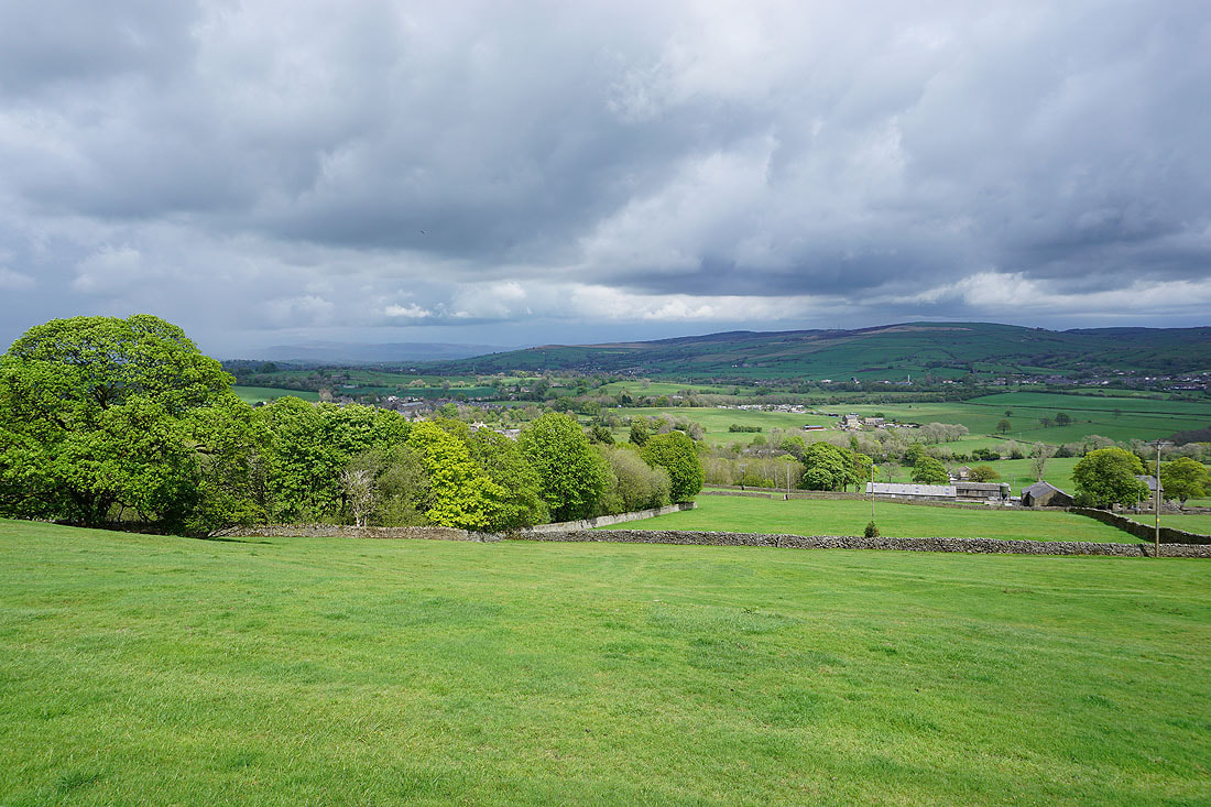
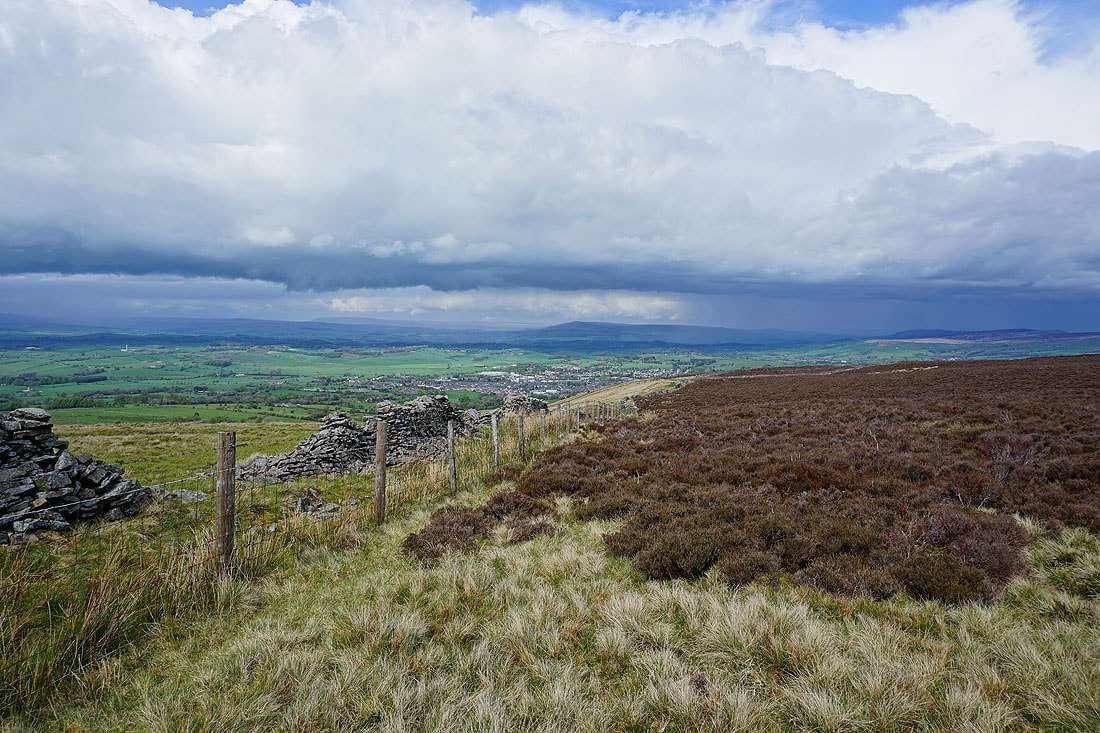
Looking north across the Ribble Valley and there's no chance of seeing Ingleborough at the moment

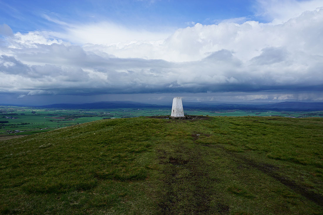
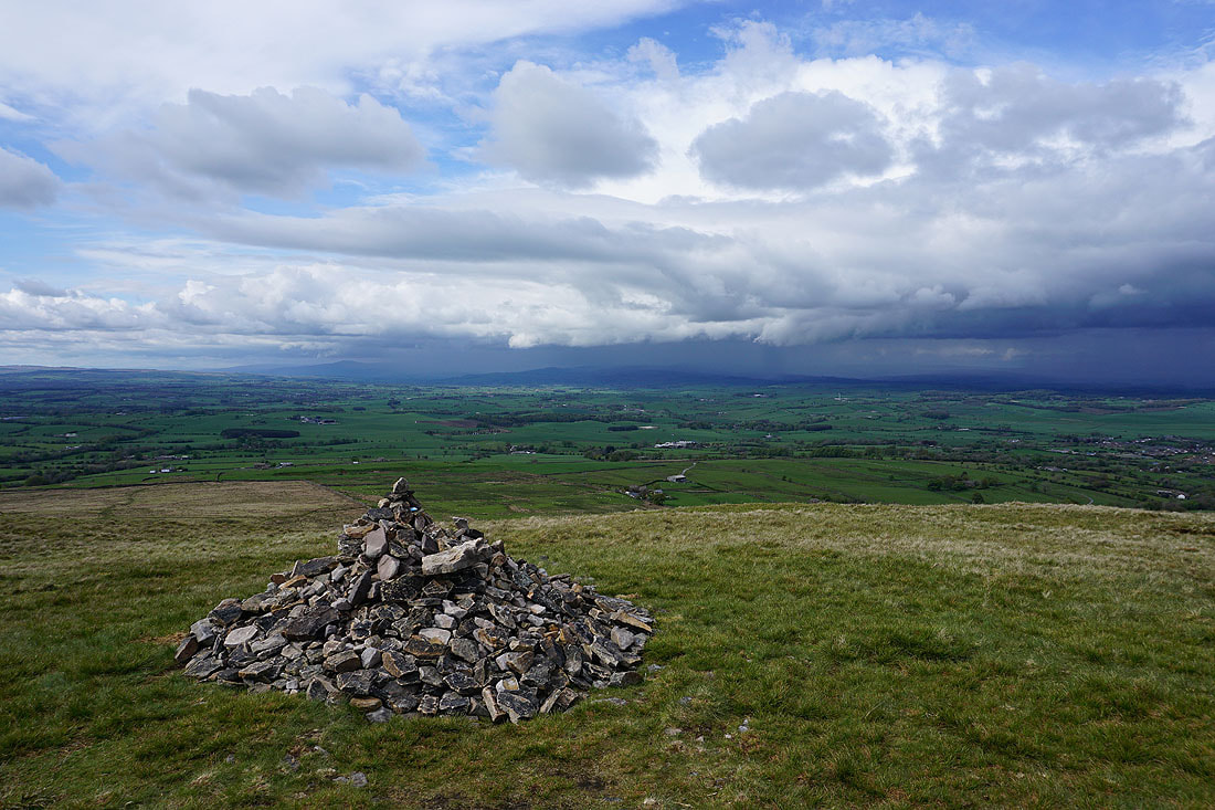
At the trig point on Weets Hill. Barden Moor in the distance beyond Barnoldswick.
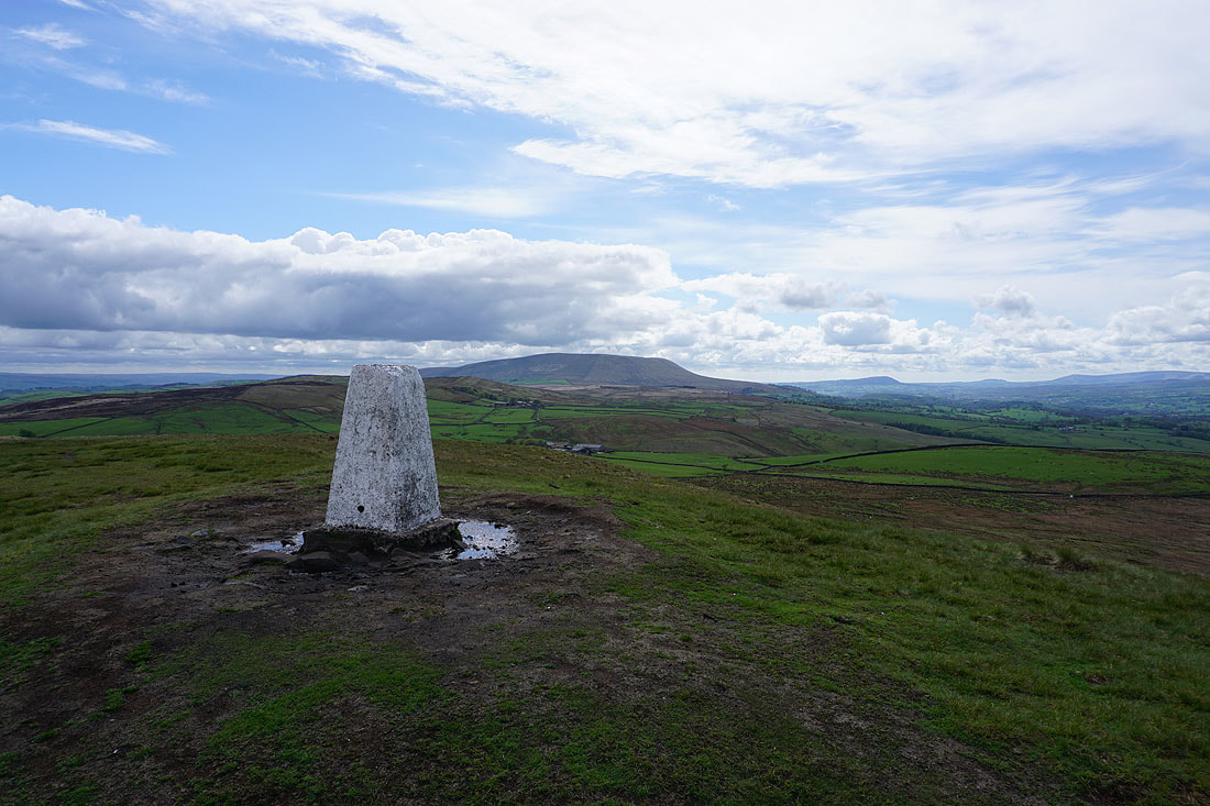
Pendle Hill to the southwest
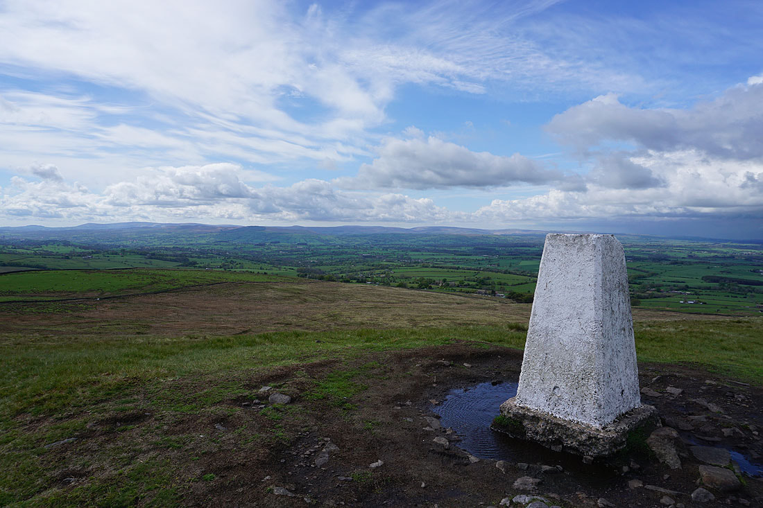
The Forest of Bowland to the northwest on the other side of the Ribble Valley.
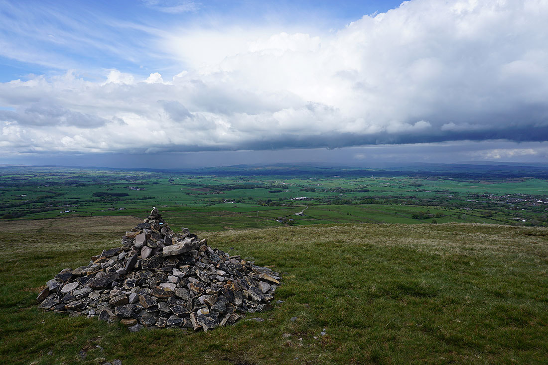
The showers and dramatic skies over the Yorkshire Dales make for some great photos....
Barden Moor, Thornton Moor, Bleara Moor and Kelbrook Moor to the east
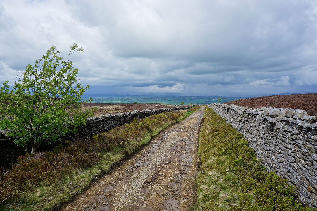
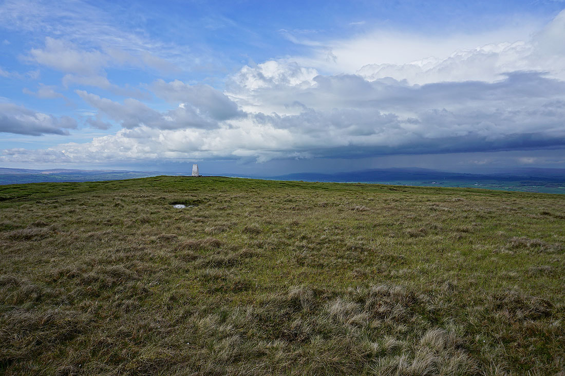
I can't resist taking a few more photos looking to the north as I head back to the trig point from the eastern end of the hill. Ingleborough appears as the showers clear away....
Pendle Hill and the Forest of Bowland
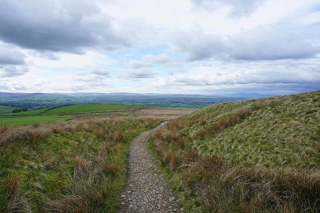
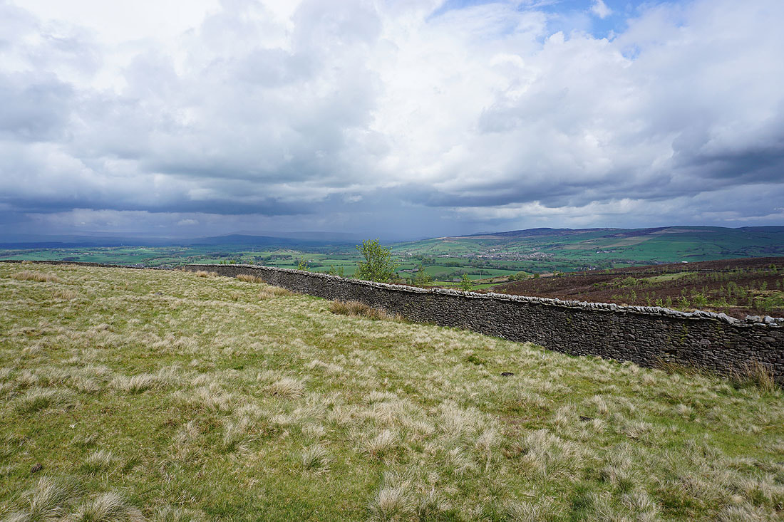
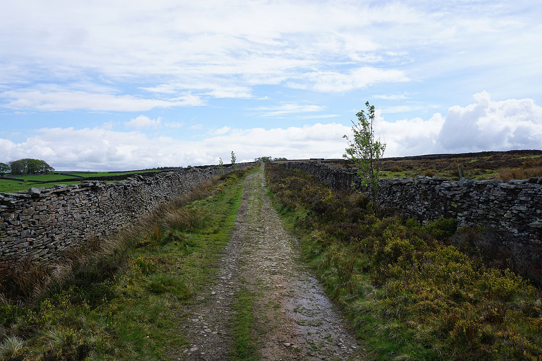
The Forest of Bowland in the distance from the top of Pennine Bridleway
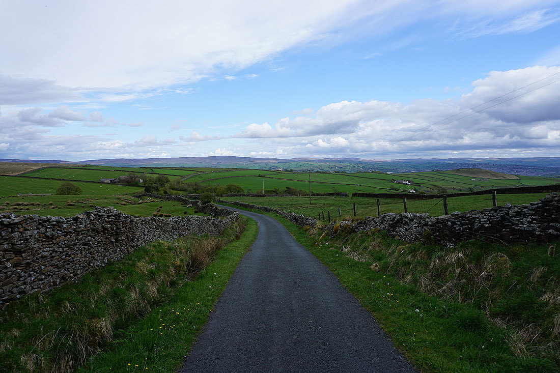
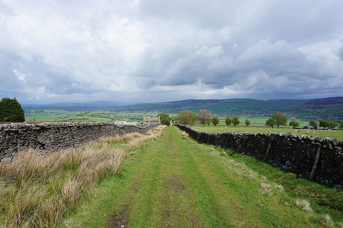
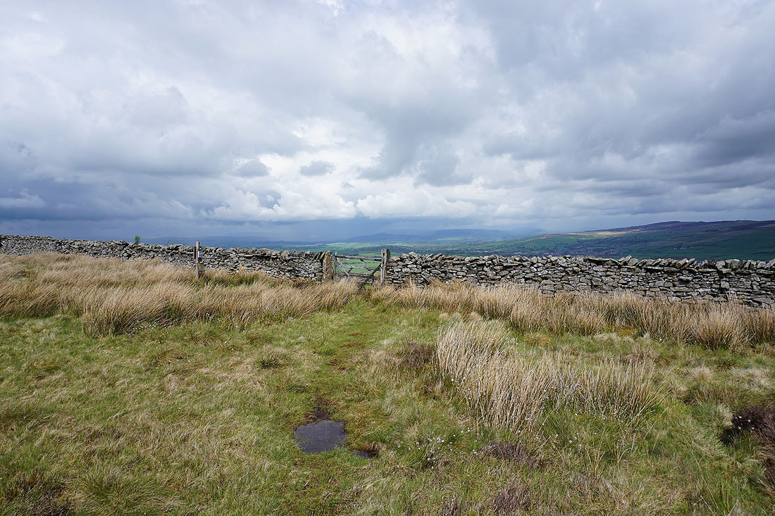
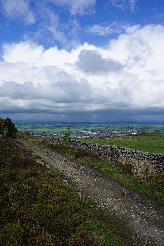
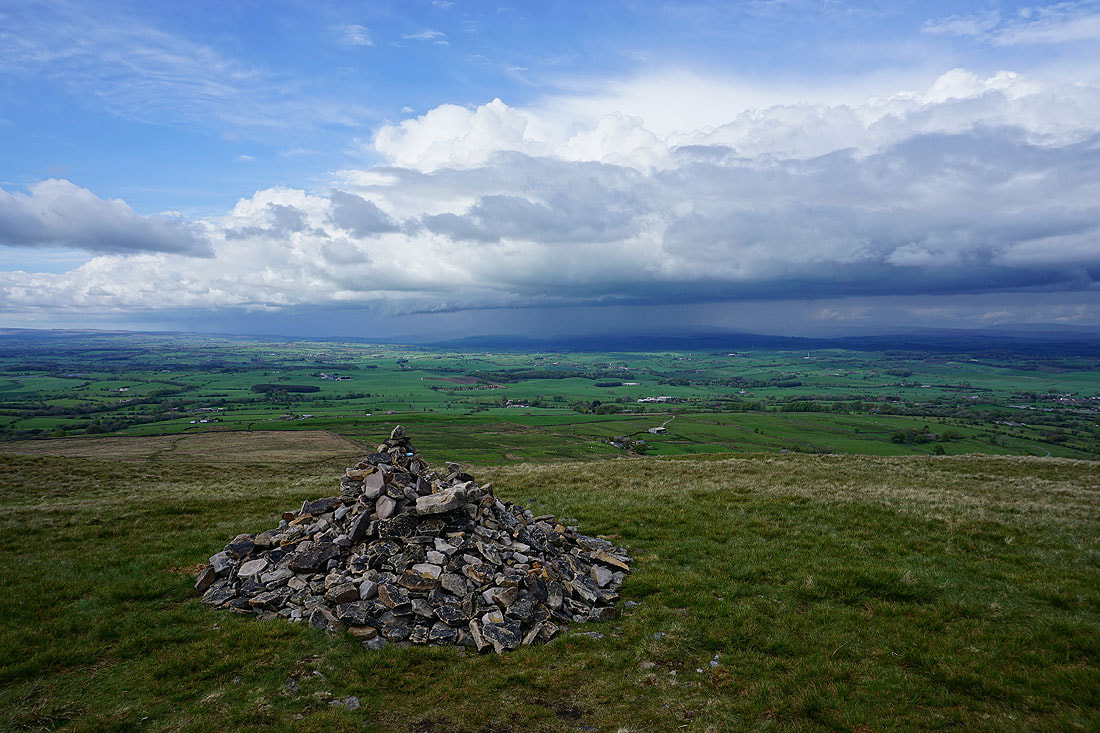
Boulsworth Hill in the distance as I walk down Gisburn Old Road
Blacko Hill to the right
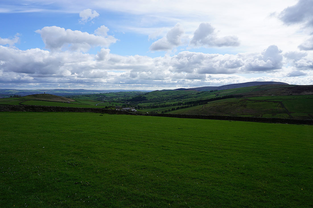
Blacko Hill, the Forest of Pendle and Pendle Hill
On Blacko Hill
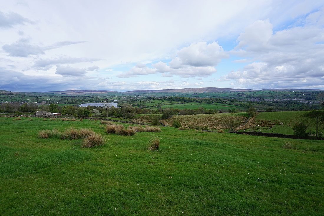
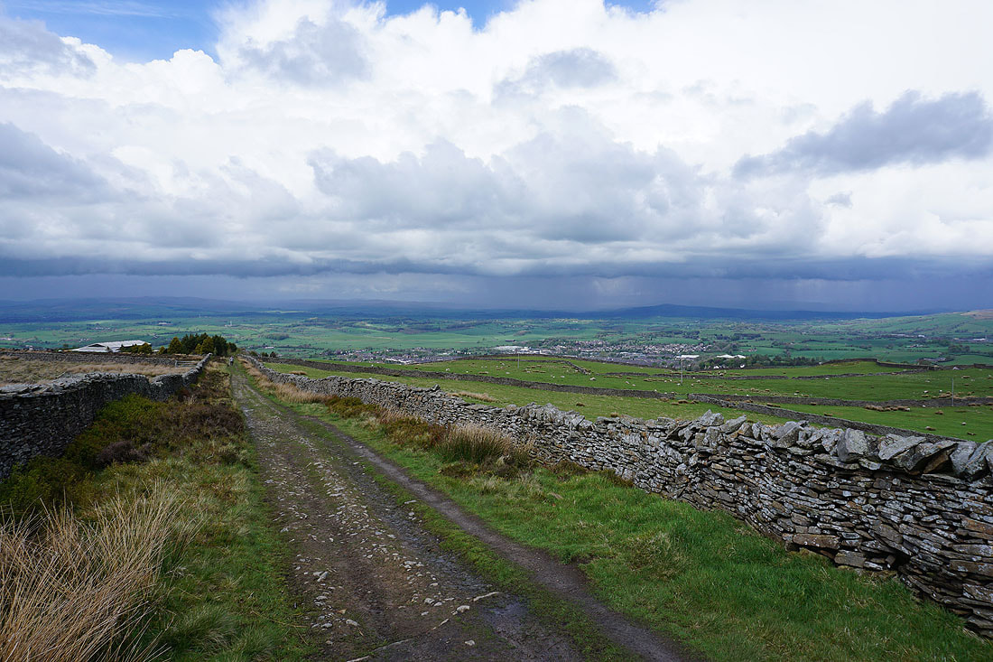
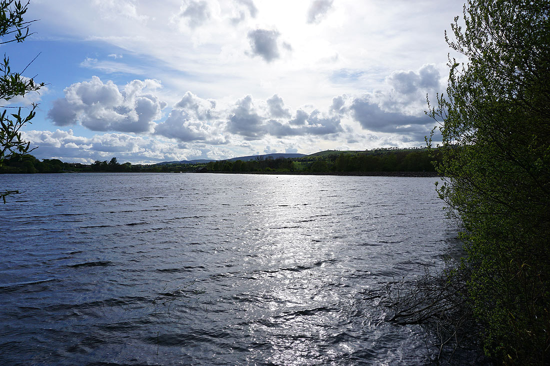
Ickornshaw Moor, Foulridge Lower Reservoir and Boulsworth Hill as I head down to Barnoldswick Road from Blacko Hill
By Slipper Hill Reservoir
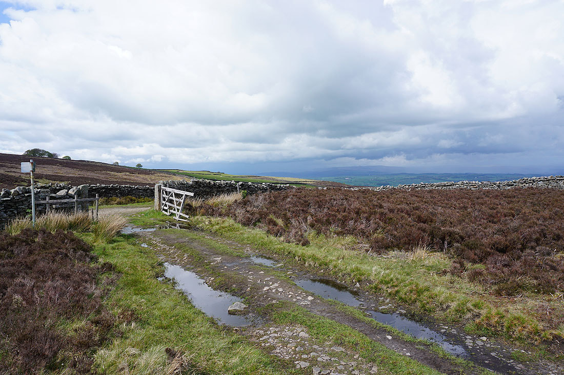
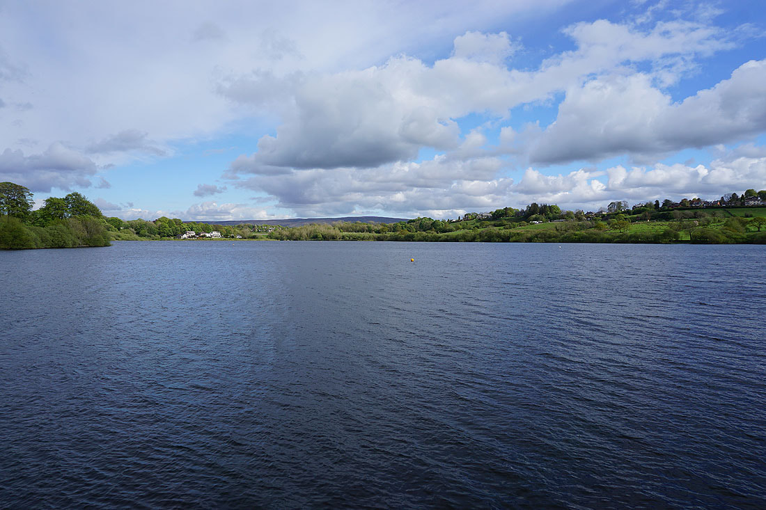
Not a bad end to the afternoon as I walk along the track from Sand Hall to Reedymoor Lane
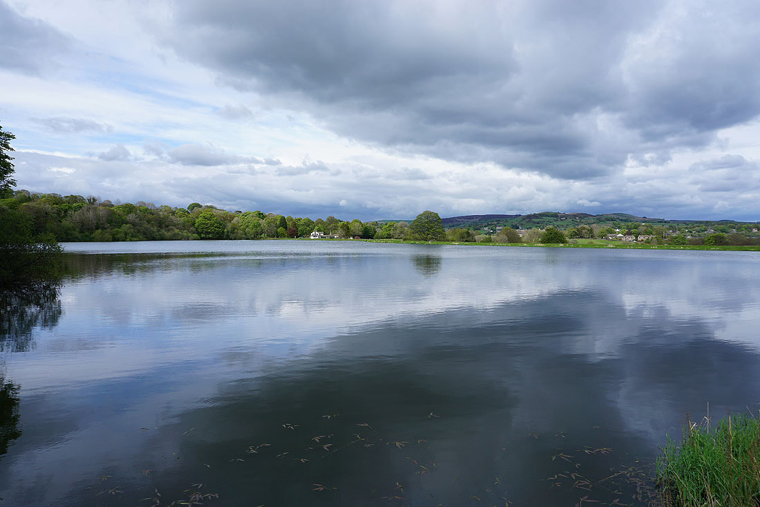
Making my way round Foulridge Lower Reservoir..
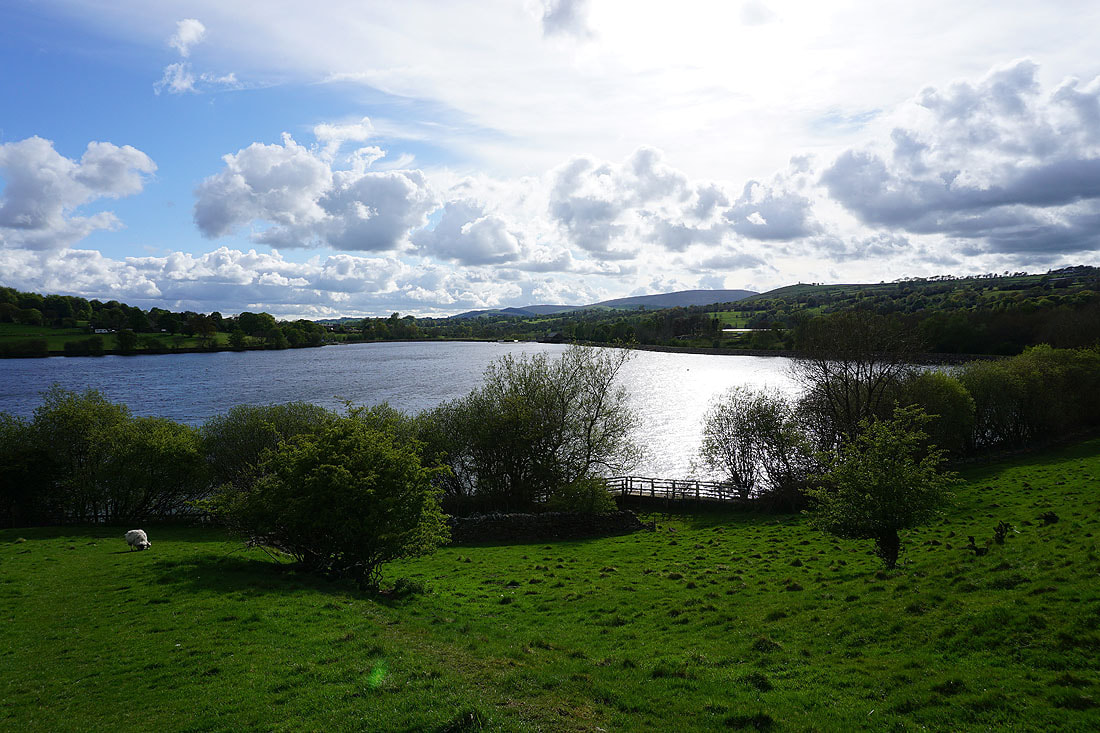
Pendle Hill in the distance on the right as I leave Foulridge Lower Reservoir..
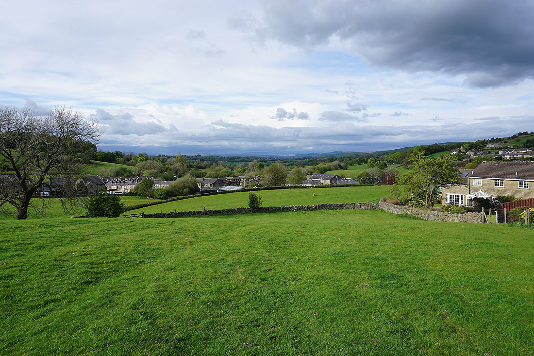
..and head back to Foulridge and home