17th November 2023 - Capplestone Gate
Walk Details
Distance walked: 8.3 miles
Total ascent: 1242 ft
OS map used: OL30 - Yorkshire Dales, Northern & Central areas and OL2 - Yorkshire Dales, Southern & Western areas
Time taken: 5.5 hrs
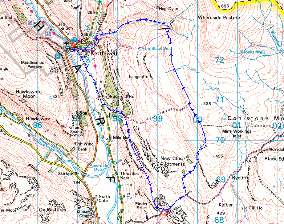
Route description: Kettlewell-Conistone Lane-Dales Way-Conistone Pie-Dales Way-Bycliffe Road-Conistone Turf Road-Capplestone Gate-Slatepit Rigg-Providence Pot-Dowber Gill-Scabbate Gate-Kettlewell
When I drove to Kettlewell this morning I had planned on doing a walk up Great Whernside. The forecast was for any low cloud to lift off the tops of the fells to leave a bright day with some sunshine. However, when I arrived in Kettlewell I had doubts about how accurate that might be, and thought that I'd be better off leaving Great Whernside for another day. I decided to do a familiar route that would take in a section of the Dales Way before heading up to the trig point at Capplestone Gate, then returning to Kettlewell via the moorland to its north. While I was up there I thought that I'd pay a visit to Dowber Gill. I've walked along the footpath above it many times on the way up or down Great Whernside and remembered that a public footpath goes from Kettlewell up to the pothole of Providence Pot at its top, and wondered about walking it some time. It was worth giving it a try. After setting off from Kettlewell in the morning with quite a bit of blue sky and sunshine, low cloud soon started to move in and into the afternoon it became grey and cloudy with just glimpses of the sun poking through the cloud.
From the NP car park in Kettlewell I walked through the village and south along Conistone Lane until I reached the track of Highgate Leys Lane, where I left it to follow the Dales Way up the track and then south to the top of Scot Gate Lane (with a detour to Conistone Pie). Here I turned left and took the bridleway of Bycliffe Road east, leaving it on the left for the footpath of Conistone Turf Road, which I followed uphill to the trig point at Capplestone Gate, where I stopped for lunch. After this break I went through the gate in the wall near the trig point and took the footpath north along the edge of the moor to Slatepit Rigg, and the top of the bridleway down to Kettlewell. However, I didn't take this but made my way down the hillside into Dowber Gill and to the pothole of Providence Pot. From here I followed the footpath down Dowber Gill to reach the top of the lane of Scabbate Gate, and I walked along this back to Kettlewell.
Total ascent: 1242 ft
OS map used: OL30 - Yorkshire Dales, Northern & Central areas and OL2 - Yorkshire Dales, Southern & Western areas
Time taken: 5.5 hrs
Route description: Kettlewell-Conistone Lane-Dales Way-Conistone Pie-Dales Way-Bycliffe Road-Conistone Turf Road-Capplestone Gate-Slatepit Rigg-Providence Pot-Dowber Gill-Scabbate Gate-Kettlewell
When I drove to Kettlewell this morning I had planned on doing a walk up Great Whernside. The forecast was for any low cloud to lift off the tops of the fells to leave a bright day with some sunshine. However, when I arrived in Kettlewell I had doubts about how accurate that might be, and thought that I'd be better off leaving Great Whernside for another day. I decided to do a familiar route that would take in a section of the Dales Way before heading up to the trig point at Capplestone Gate, then returning to Kettlewell via the moorland to its north. While I was up there I thought that I'd pay a visit to Dowber Gill. I've walked along the footpath above it many times on the way up or down Great Whernside and remembered that a public footpath goes from Kettlewell up to the pothole of Providence Pot at its top, and wondered about walking it some time. It was worth giving it a try. After setting off from Kettlewell in the morning with quite a bit of blue sky and sunshine, low cloud soon started to move in and into the afternoon it became grey and cloudy with just glimpses of the sun poking through the cloud.
From the NP car park in Kettlewell I walked through the village and south along Conistone Lane until I reached the track of Highgate Leys Lane, where I left it to follow the Dales Way up the track and then south to the top of Scot Gate Lane (with a detour to Conistone Pie). Here I turned left and took the bridleway of Bycliffe Road east, leaving it on the left for the footpath of Conistone Turf Road, which I followed uphill to the trig point at Capplestone Gate, where I stopped for lunch. After this break I went through the gate in the wall near the trig point and took the footpath north along the edge of the moor to Slatepit Rigg, and the top of the bridleway down to Kettlewell. However, I didn't take this but made my way down the hillside into Dowber Gill and to the pothole of Providence Pot. From here I followed the footpath down Dowber Gill to reach the top of the lane of Scabbate Gate, and I walked along this back to Kettlewell.
Route map
© Crown copyright. All rights reserved. License number PU 100034184.
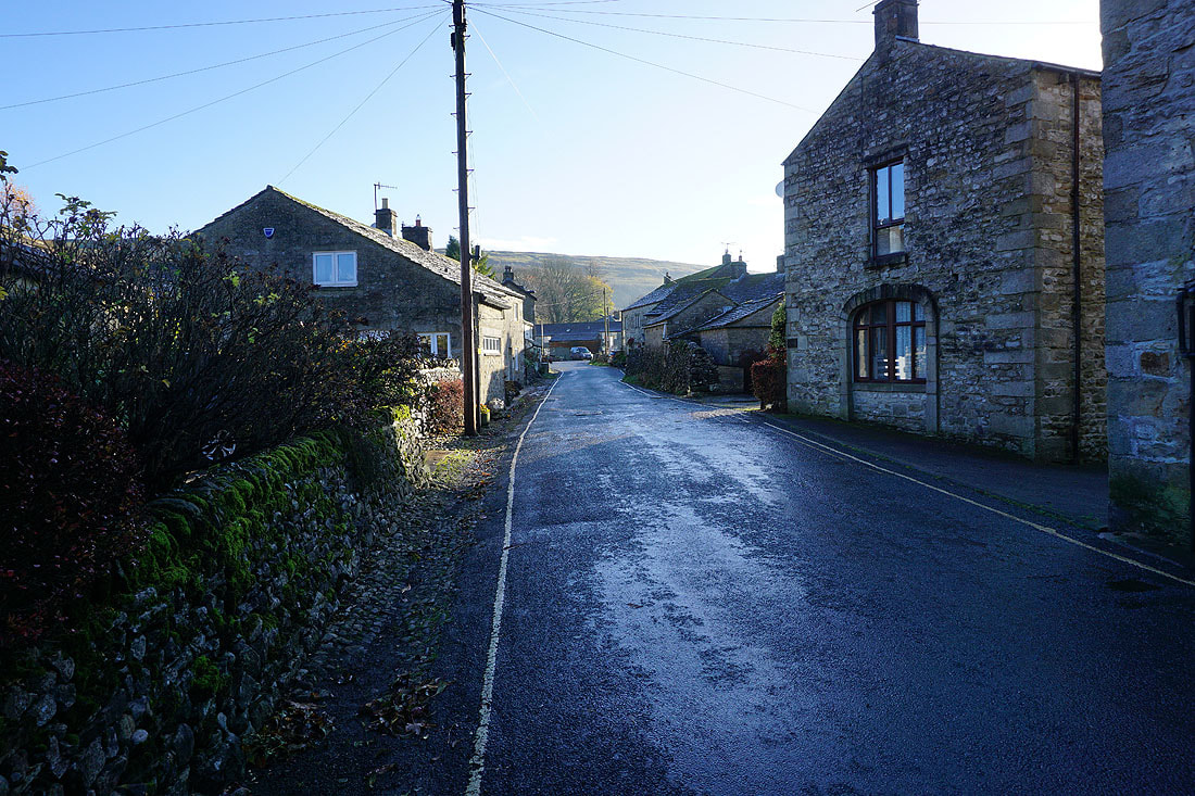
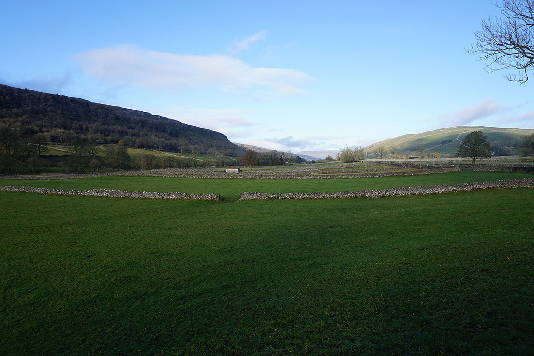
Making my way through Kettlewell on a fine autumn morning
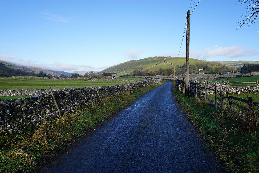
Looking back to Kettlewell and the hillside of Cam Pasture from the road to Conistone
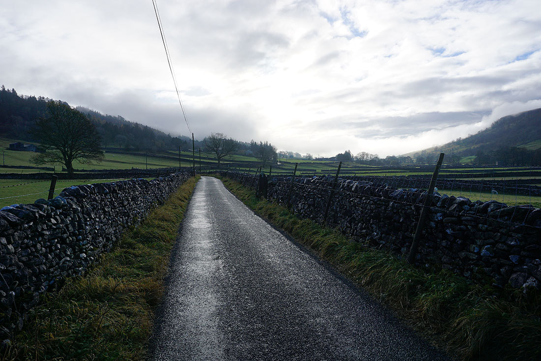
Walking along the road to Conistone. There's a lot of low cloud on the hillsides at the moment. I hope it clears.
The view up Wharfedale from the side of the road
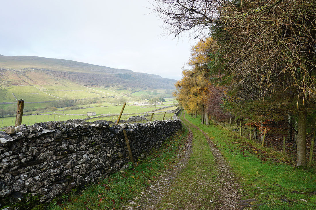
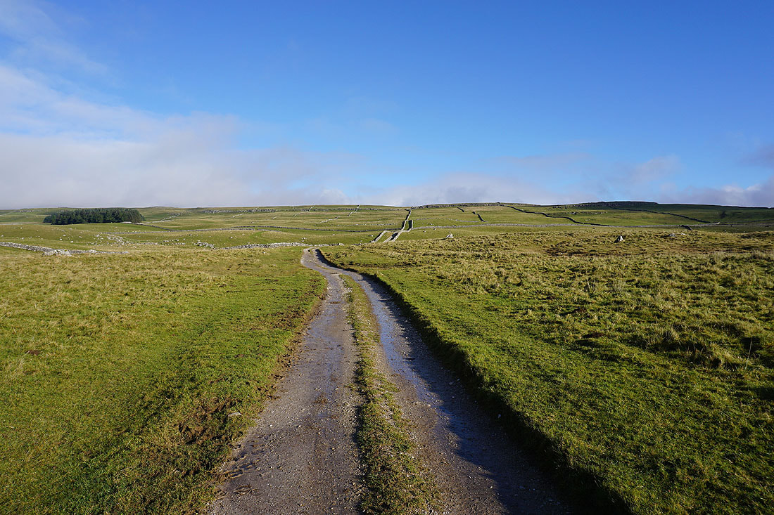
Looking back down the track of Highgate Leys Lane
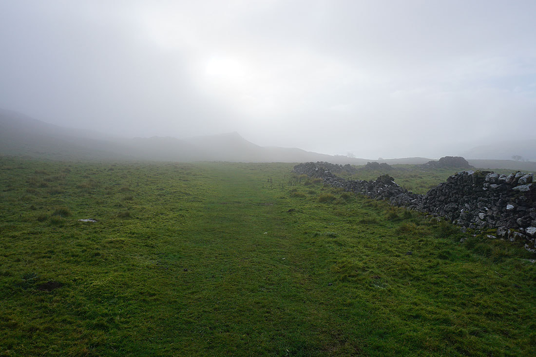
I'm enveloped in low cloud as I reach the top of the track and keep on the Dales Way
It also restricts my view across Wharfedale
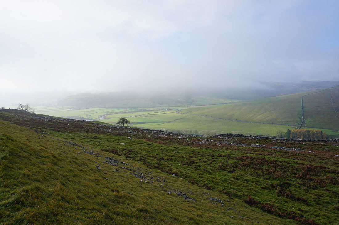
A few minutes later and it clears to give me a view up the dale from Swineber Scar
Following the Dales Way south above Wharfedale..
Looking across Wharfedale to Kilnsey and Kilnsey Crag
Approaching the limestone outcrop of Conistone Pie
It's worth taking a short break at Conistone Pie to take in the view from it. The moors above Conistone and Threshfield Moor to the south.
Littondale on the left, Knipe Scar, and Wharfedale on the right
Looking back to Conistone Pie as I head south on the Dales Way
Just ahead I'll leave the Dales Way and turn left onto the track of Bycliffe Road
Making my way up Bycliffe Road
and then up the footpath of Conistone Turf Road. The blue skies have disappeared.
Shafts of sunlight pierce the clouds as I look back across Wharfedale
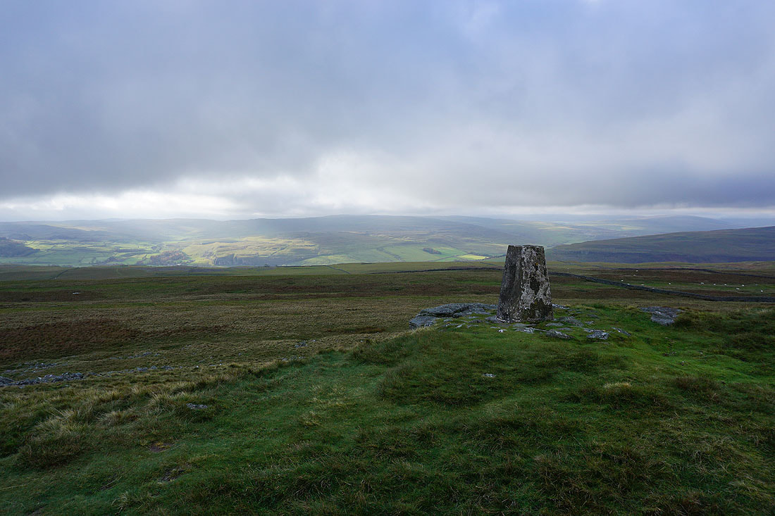
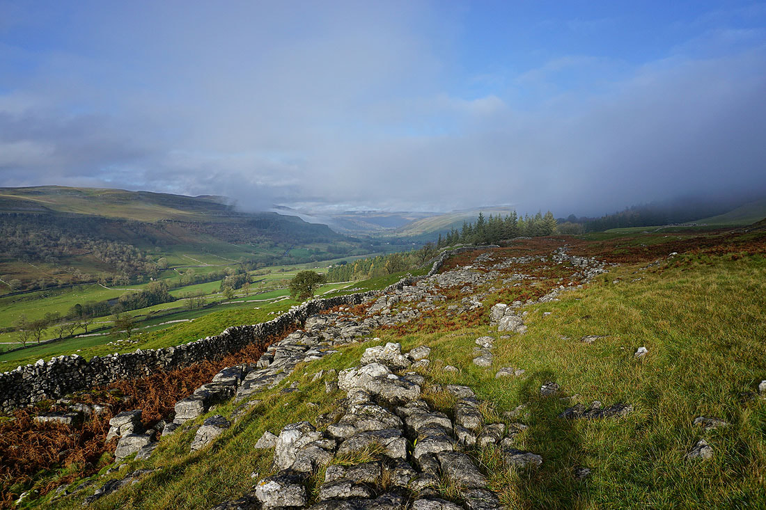
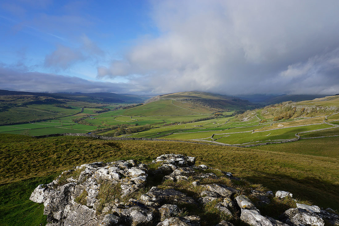
At the trig point at Capplestone Gate
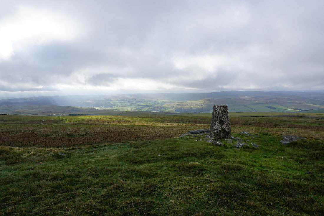
Threshfield Moor and Kilnsey Crag on the other side of Wharfedale
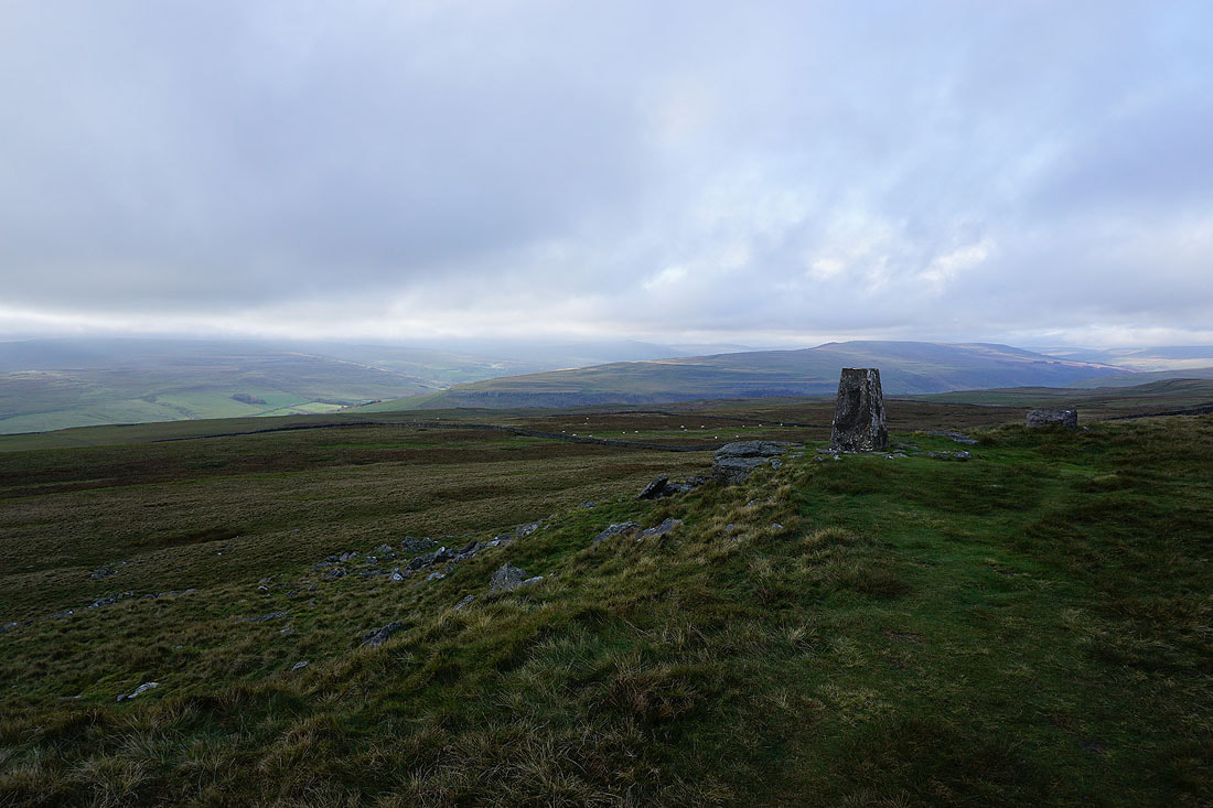
Looking northwest to the fells round Littondale and upper Wharfedale
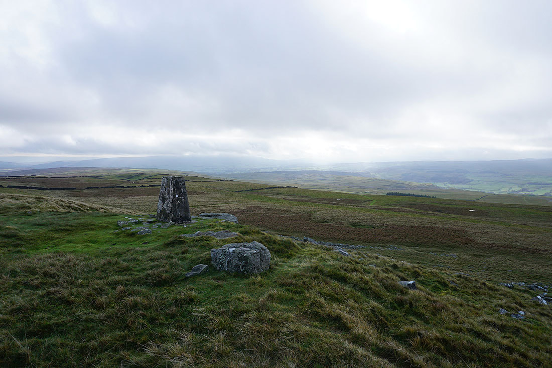
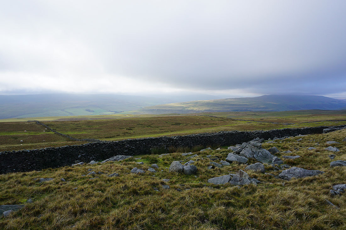
and south down Wharfedale to Barden Moor
and southeast across Black Edge and Grassington Moor to Simon's Seat in the distance
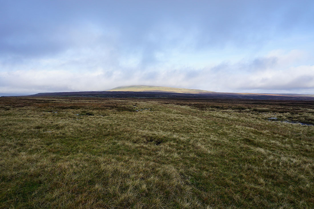
The southern end of Great Whernside rises to the north
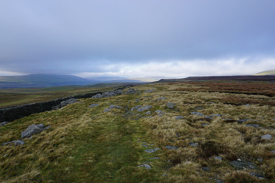
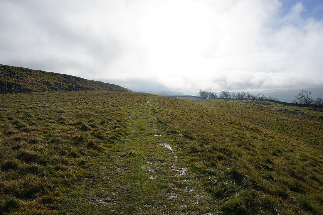
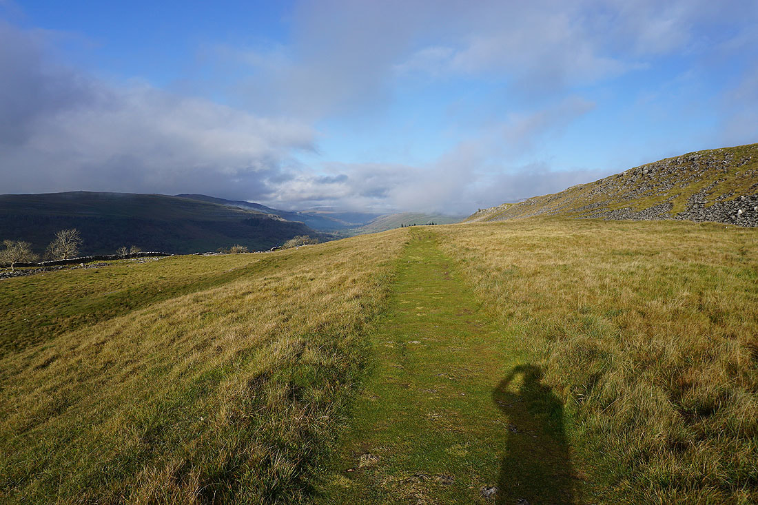
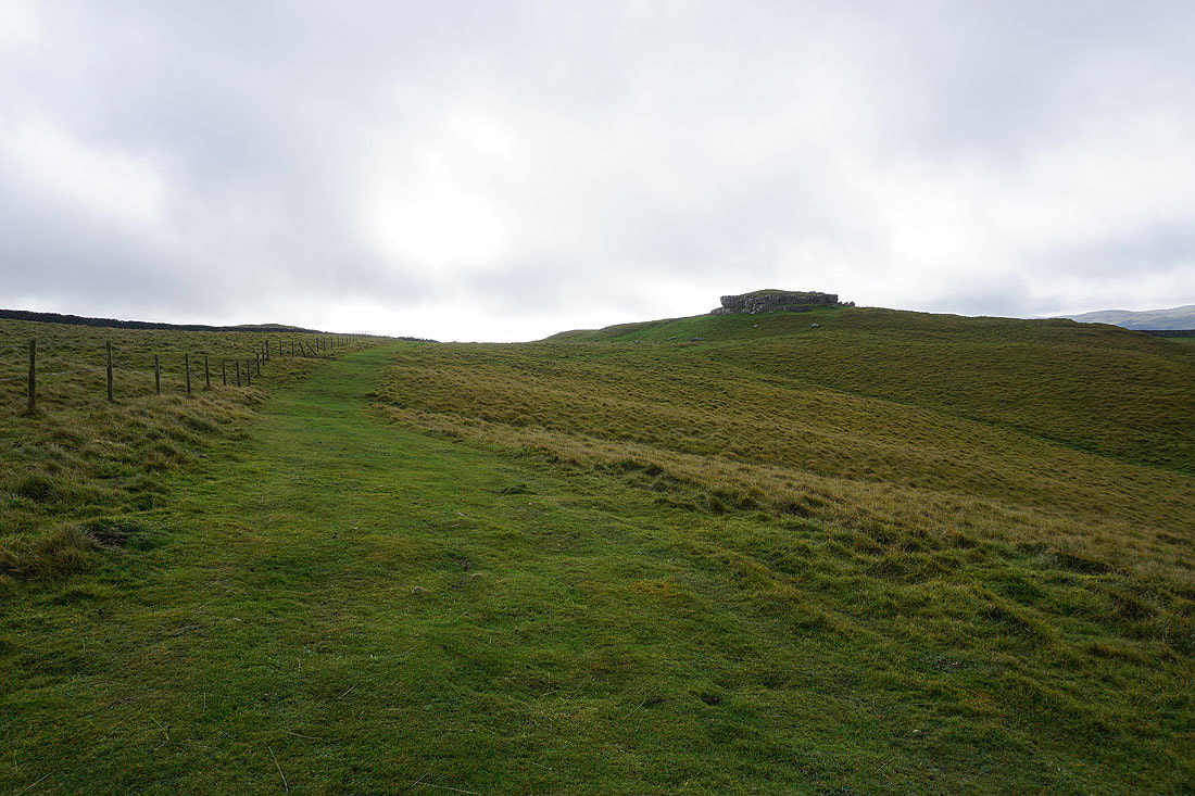
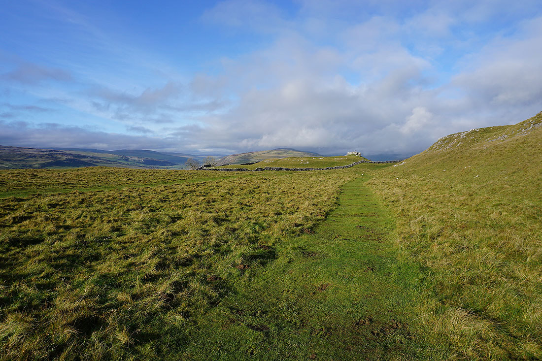
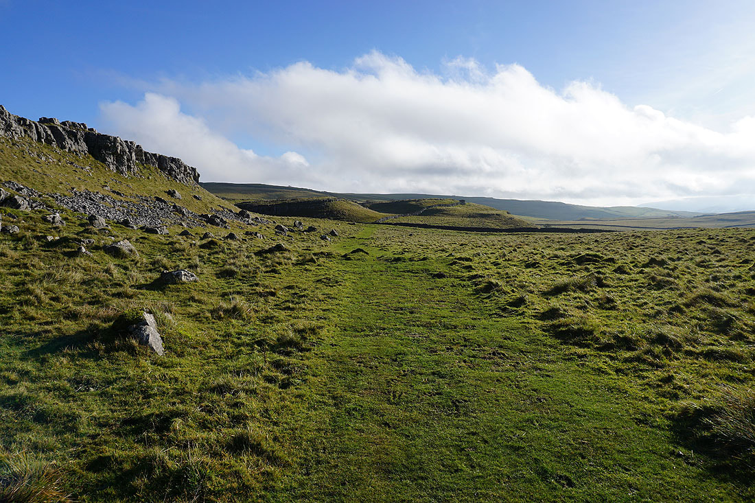
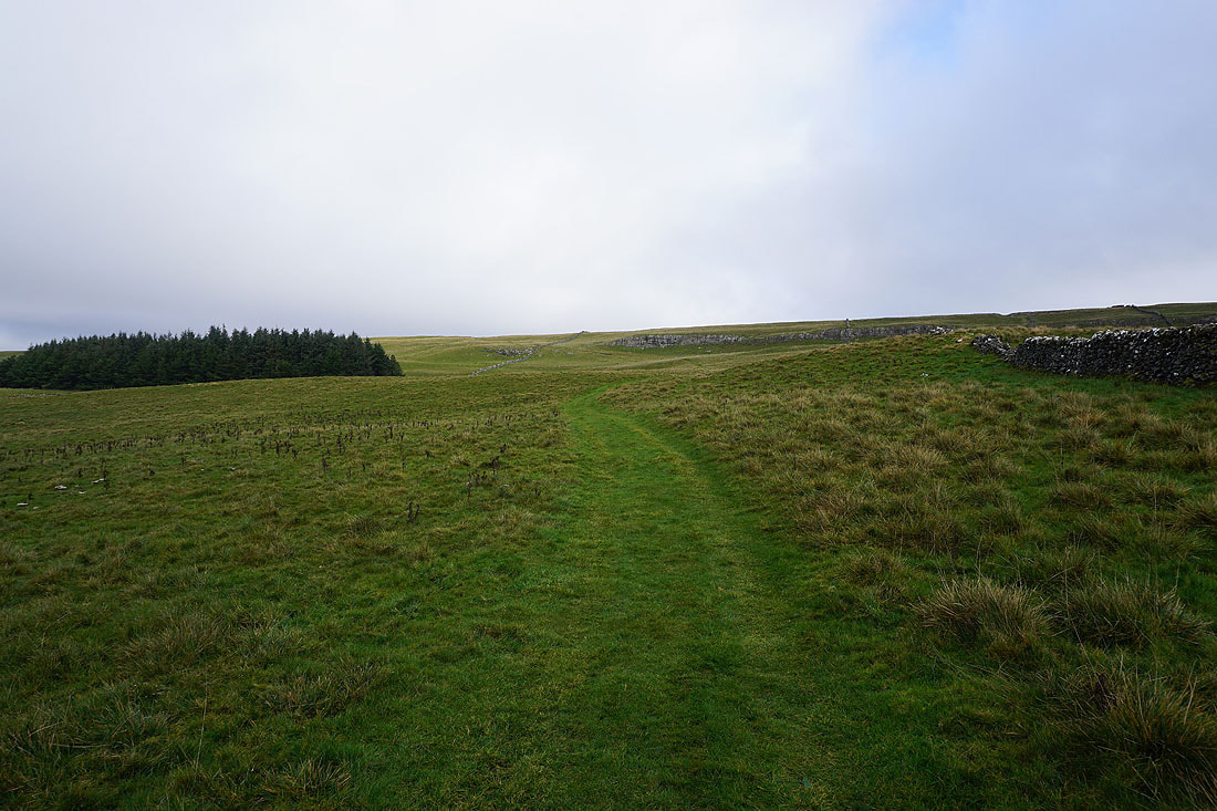
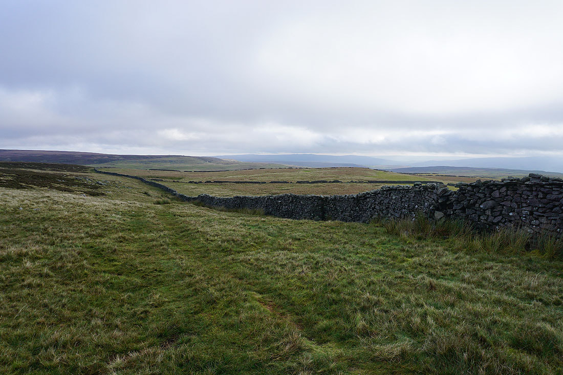
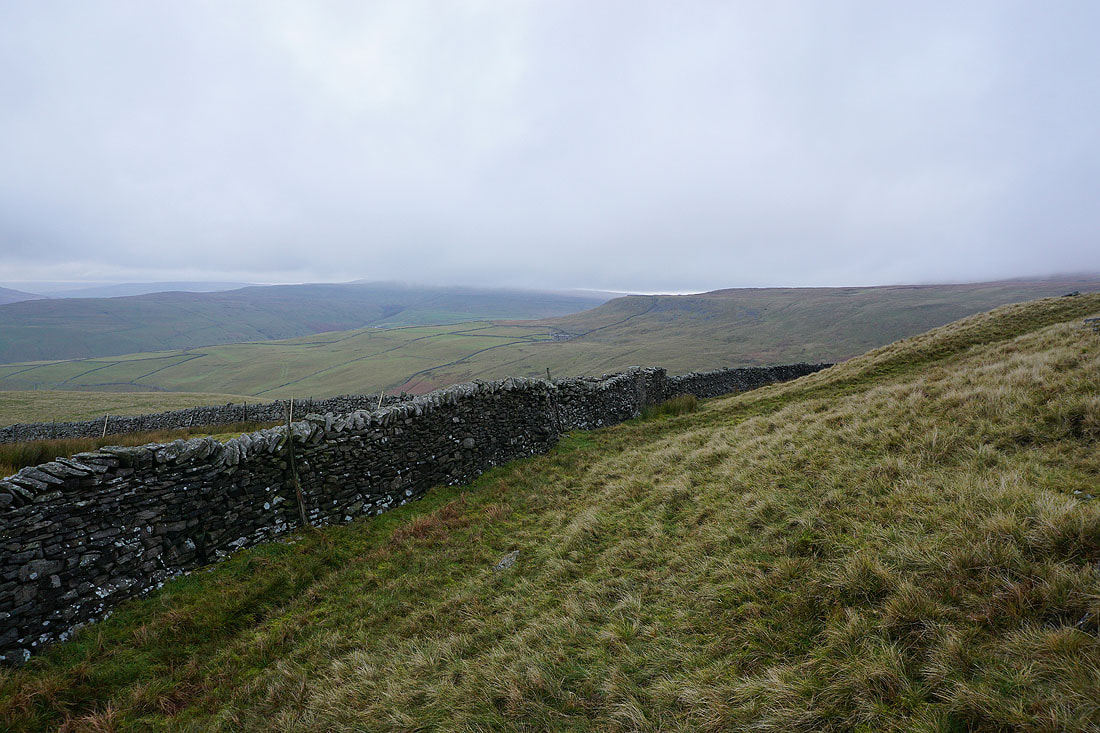
Leaving Capplestone Gate behind I head north along the edge of the moor to Slatepit Rigg
To my left, the sun tries to break through the increasingly gloomy skies
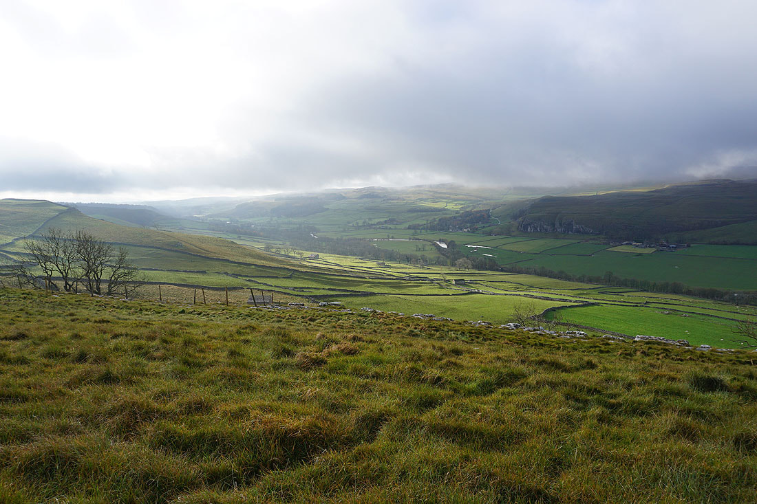
As I approach the top of Dowber Gill I can make out the Hag Dyke hostel on the western slopes of Great Whernside
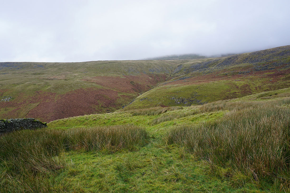
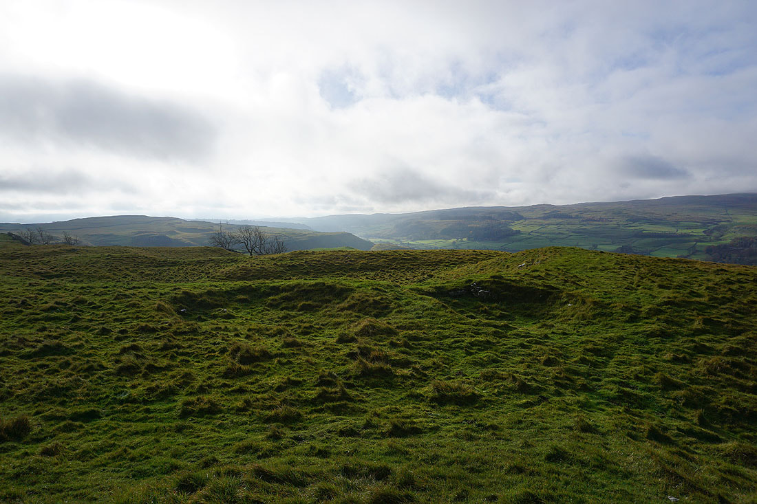
Steepening ground as I reach the top of Dowber Gill..
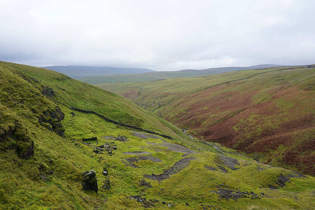
..and I can see what's left of the Providence Lead Mine
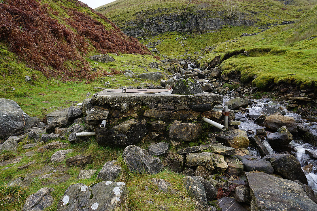
The entrance to Providence Pot
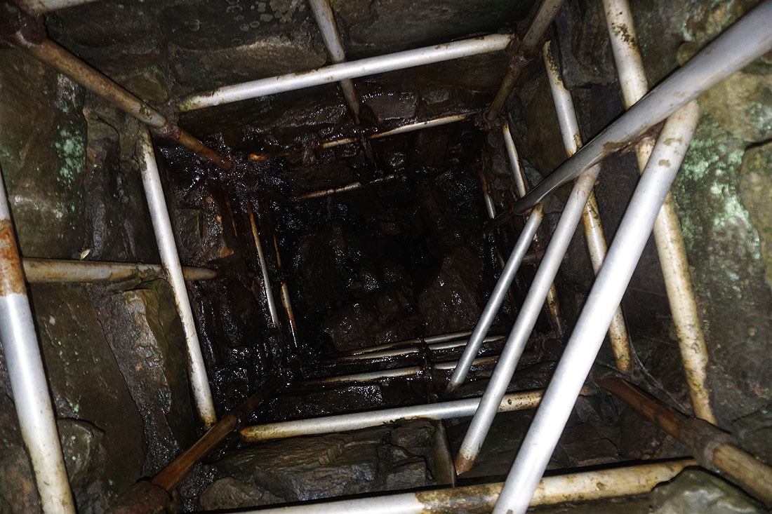
A look down the hole in the steel plate that covers its top
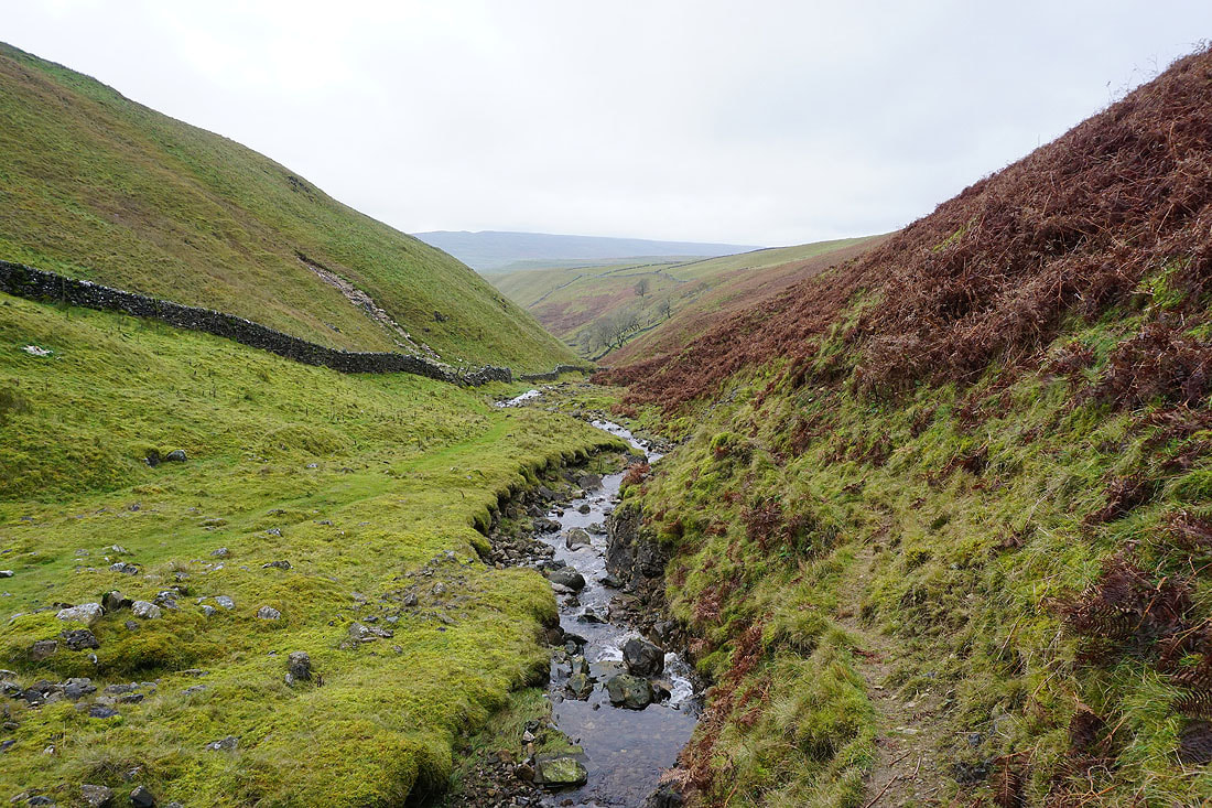
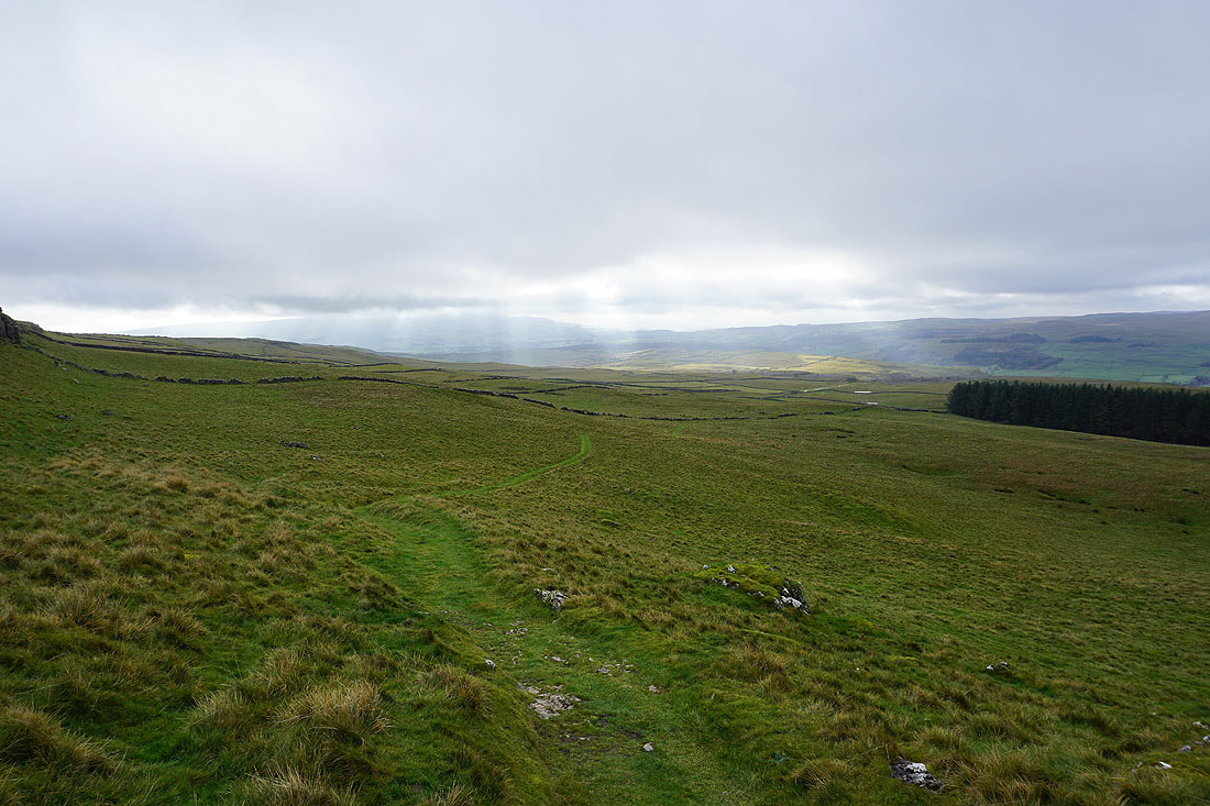
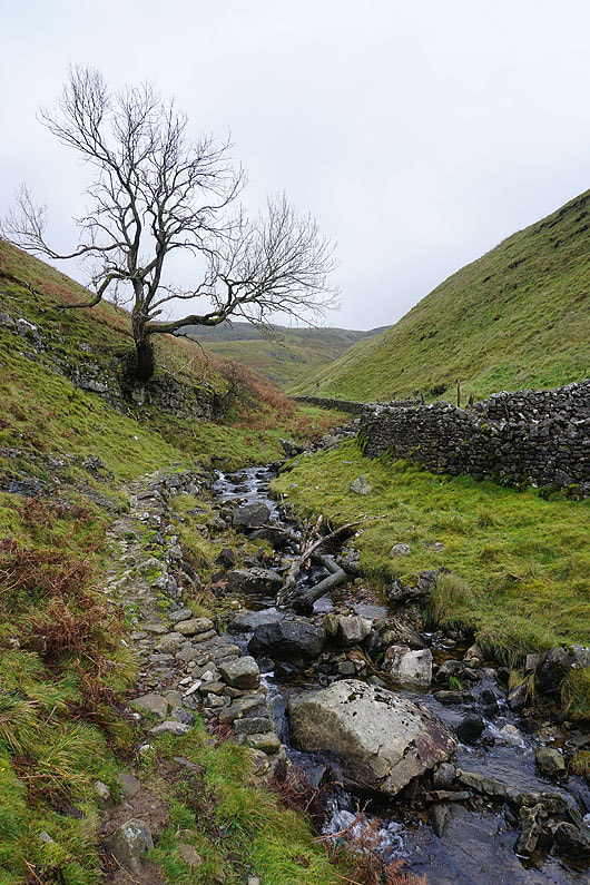
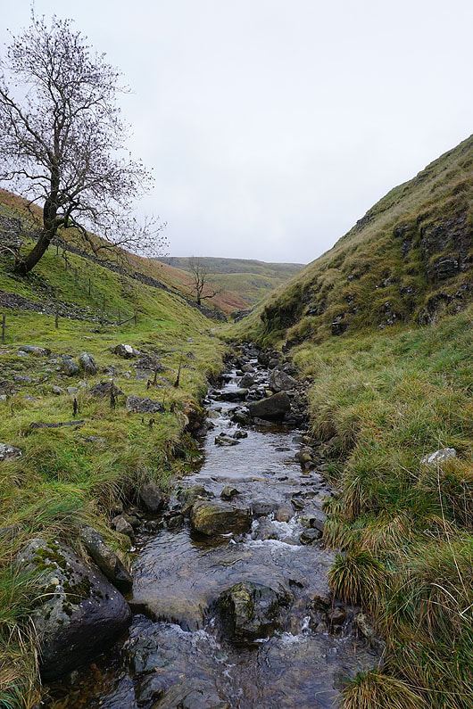
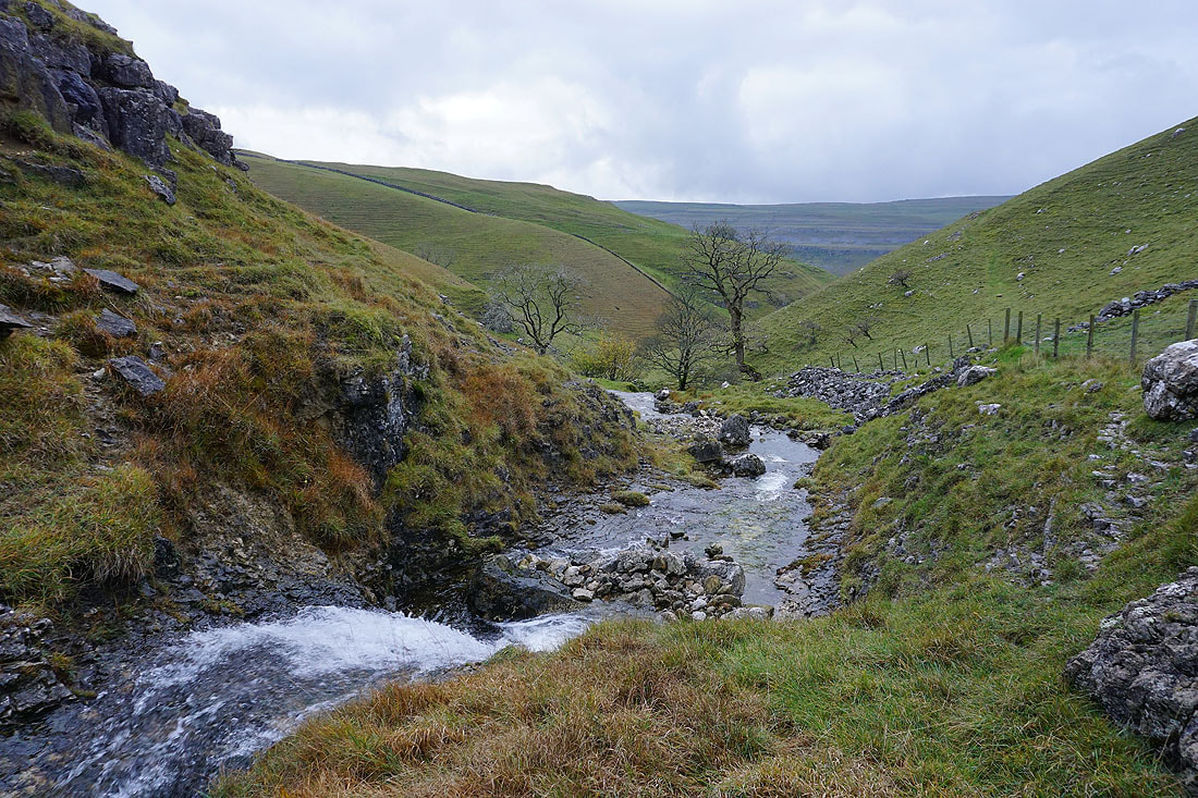
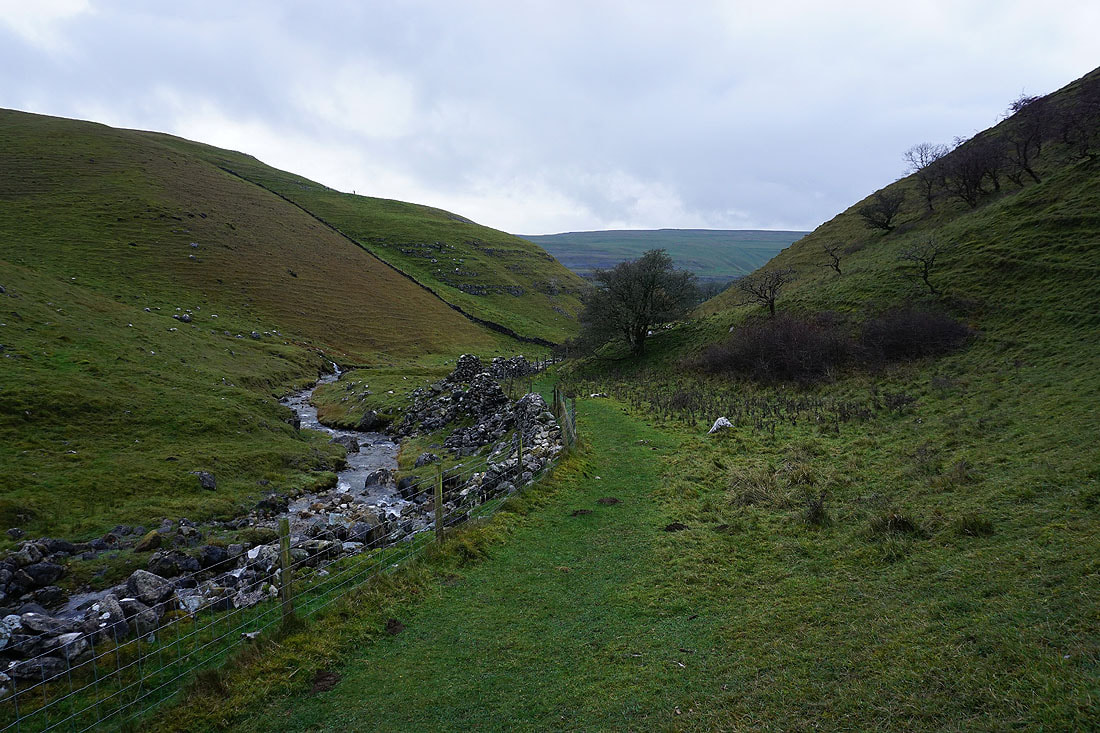
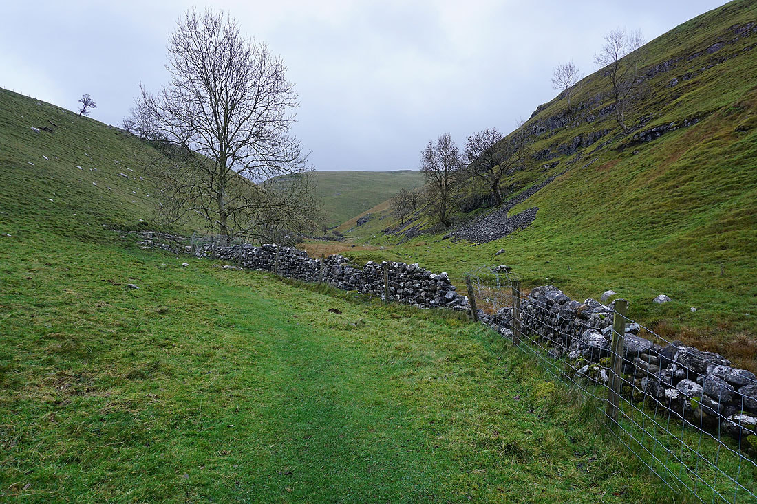
Views of Dowber Gill as I follow the footpath down towards Kettlewell.....
|
|
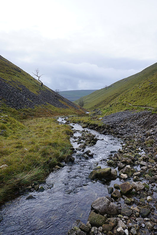
|
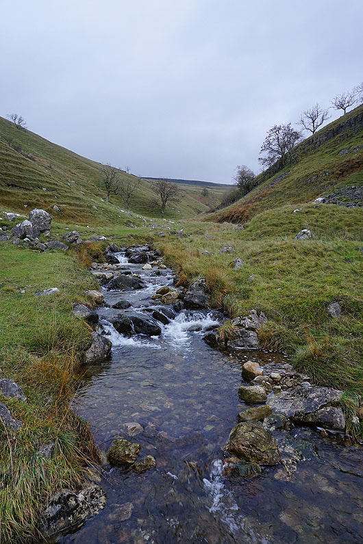
|
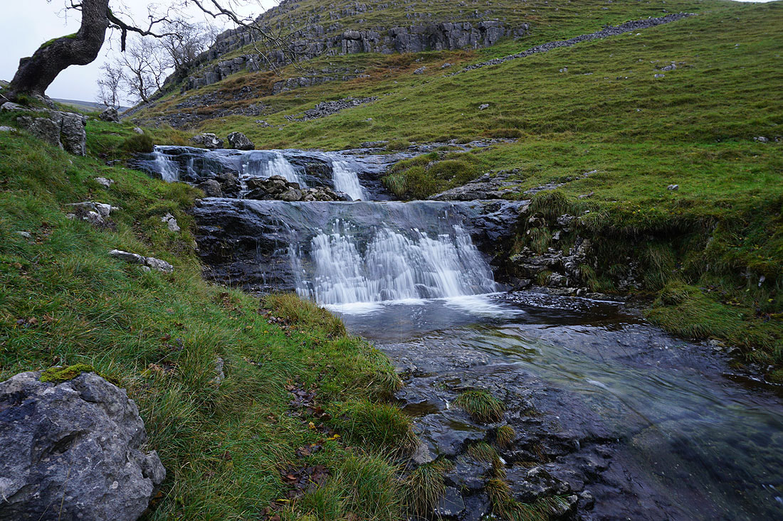
Passing a nice waterfall on Dowber Gill Beck with a few steps to its drop..
A couple more shots of Dowber Gill as I approach Kettlewell..
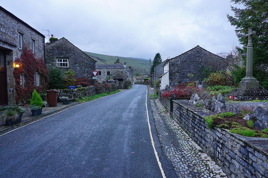
Making my way through Kettlewell back to the car park