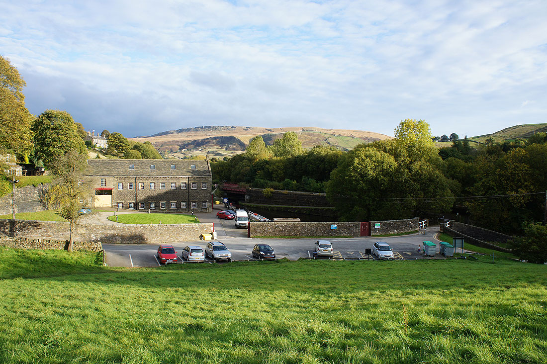
17th October 2015 - Standedge & Pule Hill
Walk Details
Distance walked: 7.9 miles
Total ascent: 1451 ft
OS map used: OL21 - South Pennines & OL1 - The Peak District, Dark Peak area
Time taken: 5.5 hrs
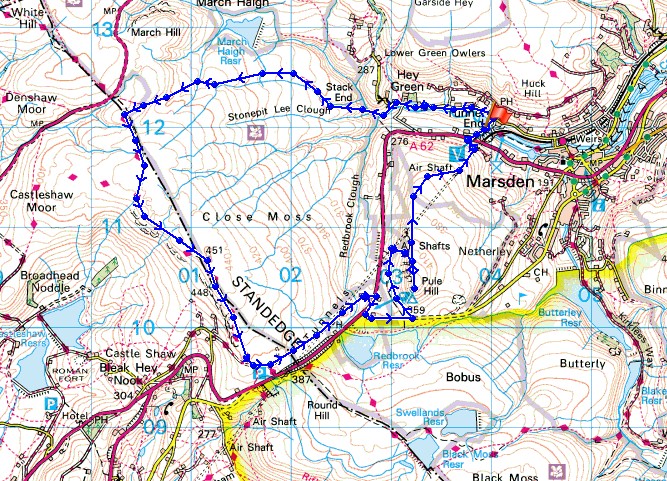
Route description: Standedge Visitor Centre, Marsden-Waters Road-Standedge Trail-Eastergate Bridge-Rapes Highway-Pennine Way-Millstone Edge-Standedge Trail-A62-Standedge Trail-Pule Hill-A62-Ainsley Lane-Standedge Visitor Centre, Marsden
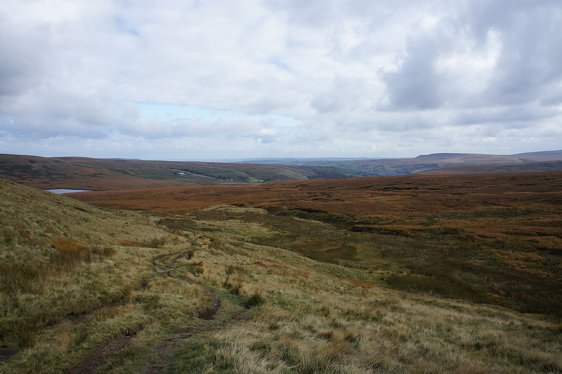
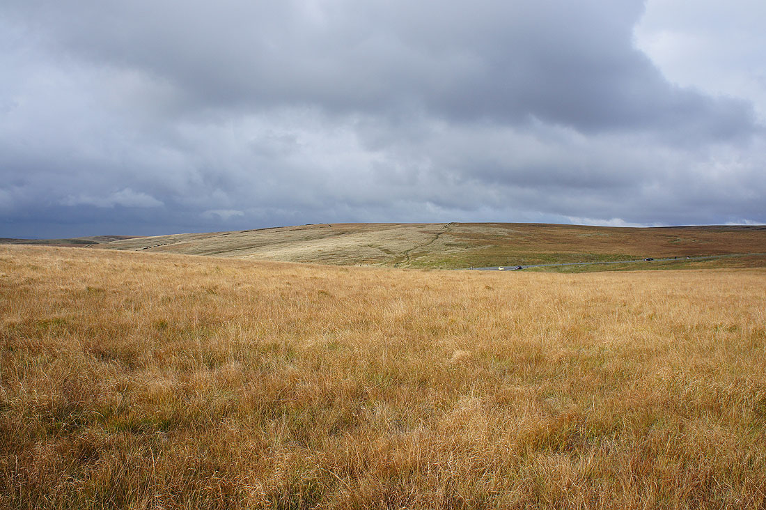
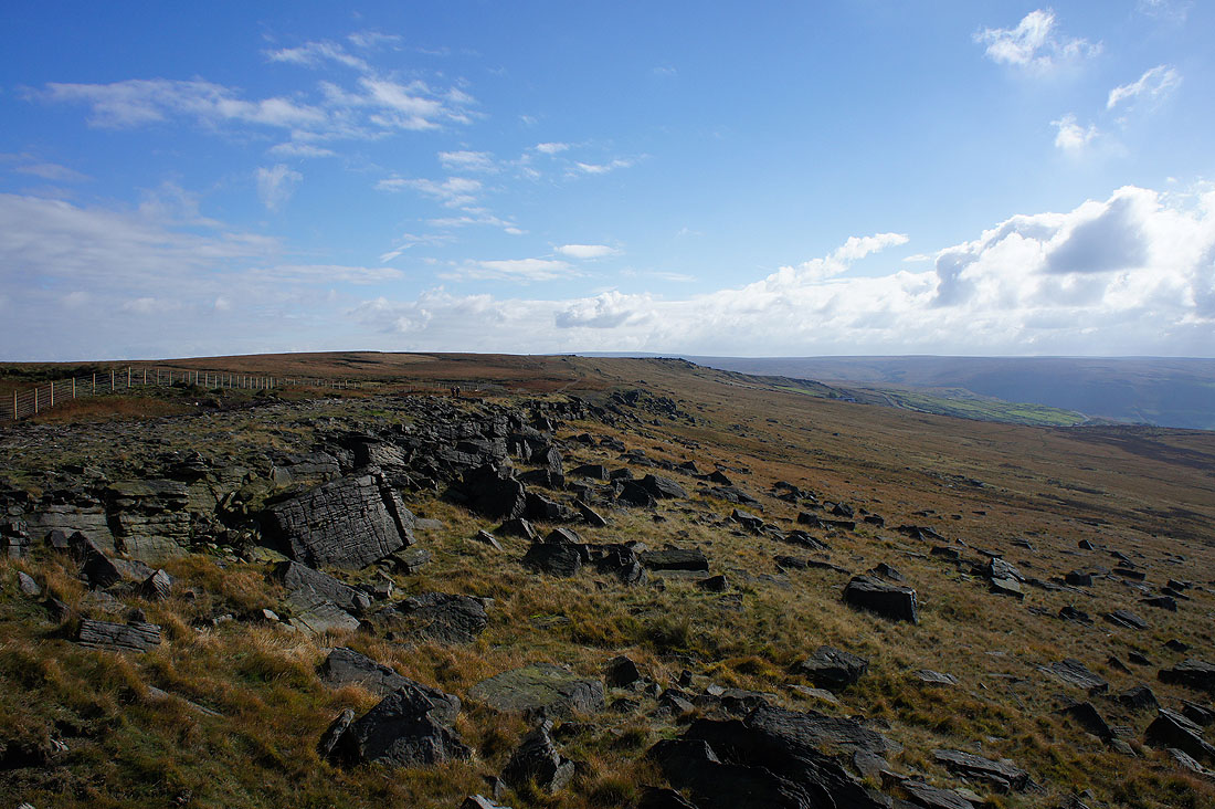
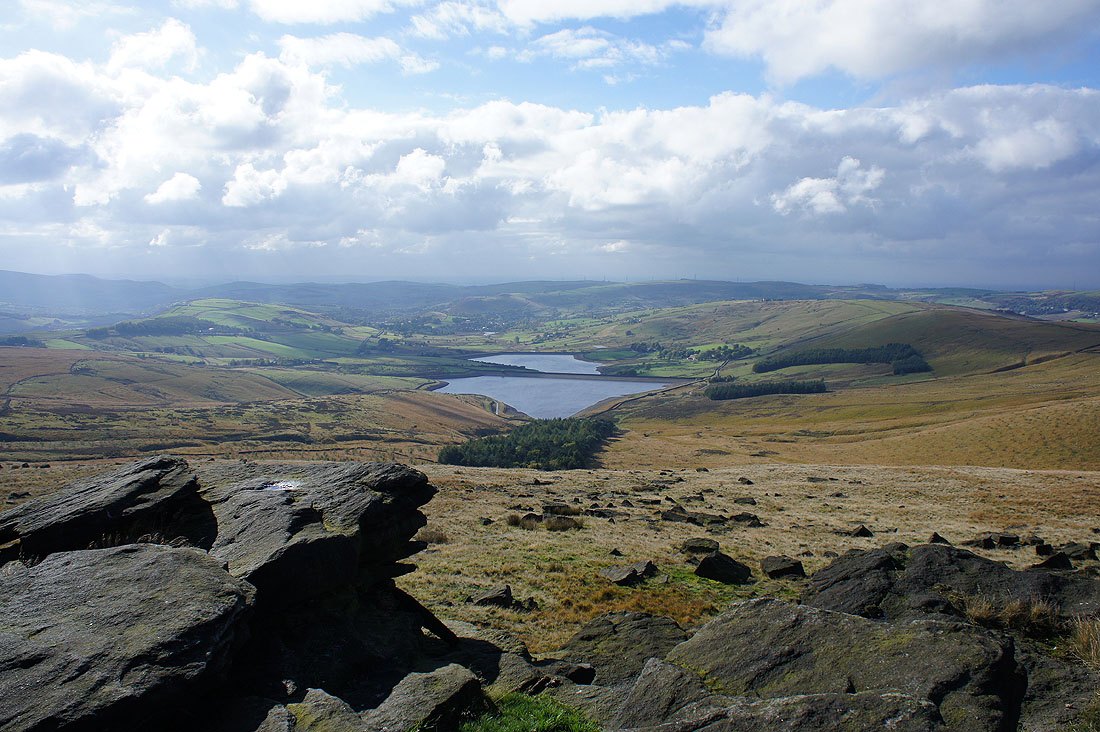
After finding out about the Stanza Stones on an episode of Countryfile I decided that I'd try and work out walks that would visit each of them. "Rain" by the Pennine Way north of Blackstone Edge was seen in March and "Mist" on Nab Hill above Oxenhope was visited in April. "Snow" in a disused quarry on the side of Pule Hill means that I'm now half way through the six Stanza Stones. Two of the remaining three are on Ilkley Moor so I could probably see those in one walk and the third isn't that far away on Rivock Edge. I had some nice weather today to take in these South Pennine moors. They look their best in the autumn colours with the low sun shining across them.
My walk today started from the Standedge Visitor Centre just outside Marsden. I left the car park for a path that follows the infant River Colne by Waters Road and when that ended I walked up Waters Road and onto the Standedge Trail to reach Close Gate Bridge. I then took the Rapes Highway bridleway up and across the moor to where it meets the Pennine Way near the Huddersfield Road. The Pennine Way was then followed south to the trig point on Millstone Edge. This was a convenient place to have lunch with available shelter from the gritstone edge. Looking at the map the next part of my route wasn't clear. It was at the bottom of the south sheet of the South Pennines and the top of the west sheet of the Peak District, Dark Peak area and there's no overlap. Fortunately what was on the ground made more sense. I followed the marked Standedge Trail south then east but instead of staying on the trail down to the A62 I continued northeast on a path that's not on the map to some mine ruins and a track that reaches the A62 opposite the Carriage House Inn. I then walked by the A62 to the road south of Pule Hill and onto the Standedge Trail again on the western slopes of Pule Hill. When I reached the incline up into the quarry workings I made my way up and after a few minutes of searching found the Stanza Stone. After a short climb I reached the summit of Pule Hill. My route back took me north down Pule Hill to the footpath that joins the A62 opposite Ainsley Lane and after crossing the road I walked down Ainsley Lane to the Standedge Visitor Centre.
Route map
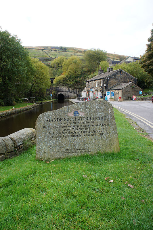
The Standedge Visitor Centre at the Marsden end of the Standedge Tunnel. Before I set off I'll make use of the cafe.
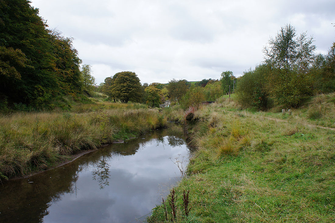
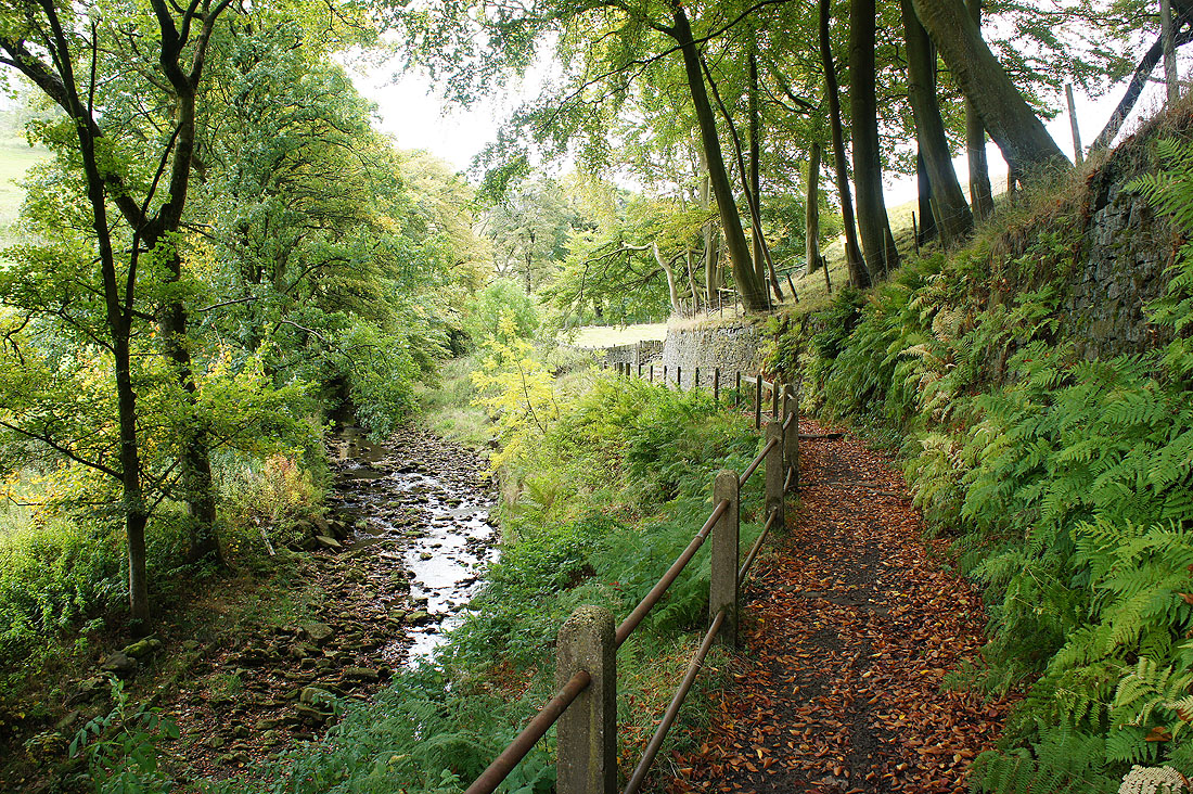
Following the infant River Colne by Waters Road
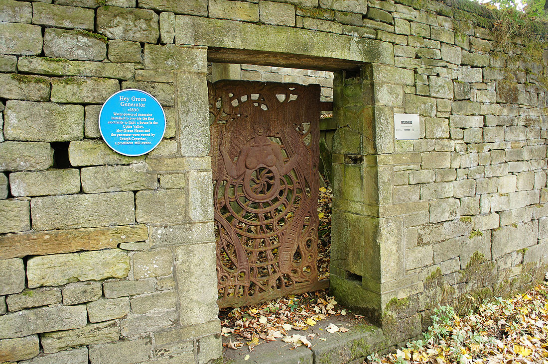
An item of historical interest. The water powered Hey Green Generator provided the first electricity in the Colne Valley c1890.
On the Standedge Trail..
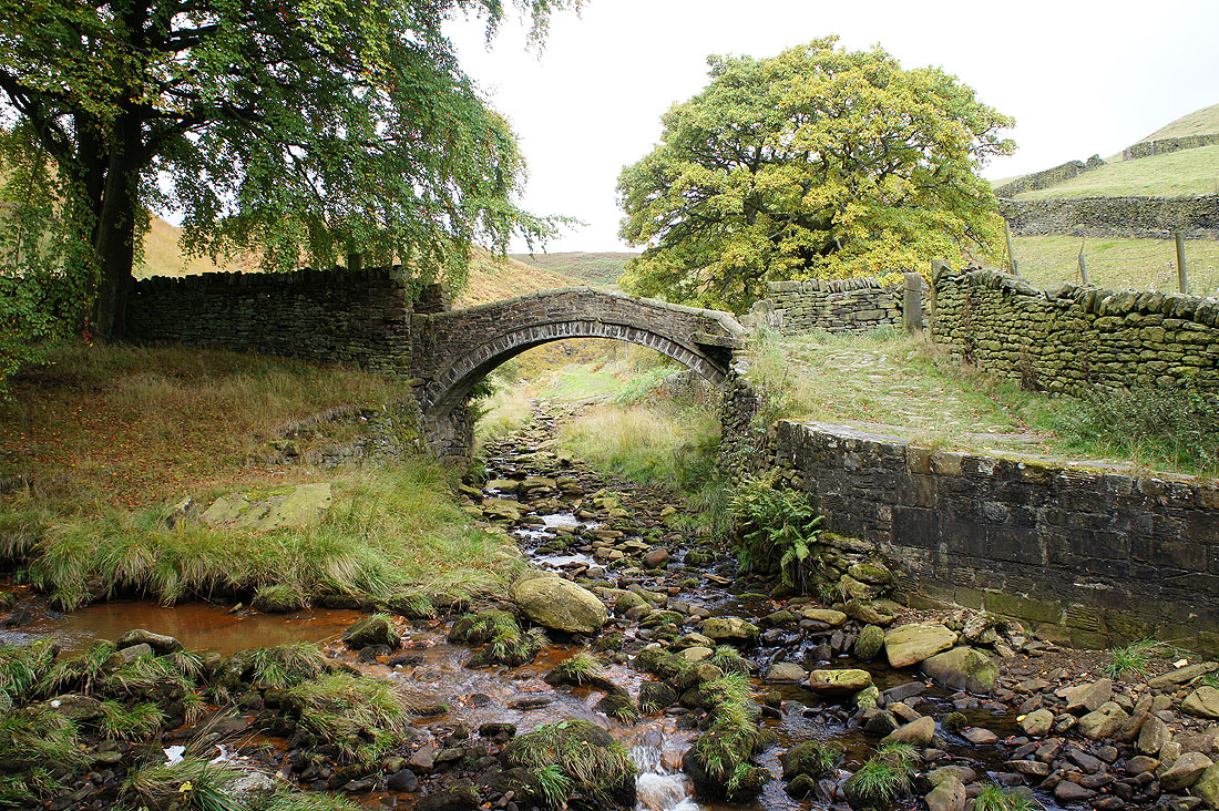
..to the classic Pennine packhorse bridge of Close Gate Bridge or Eastergate Bridge as it's also known
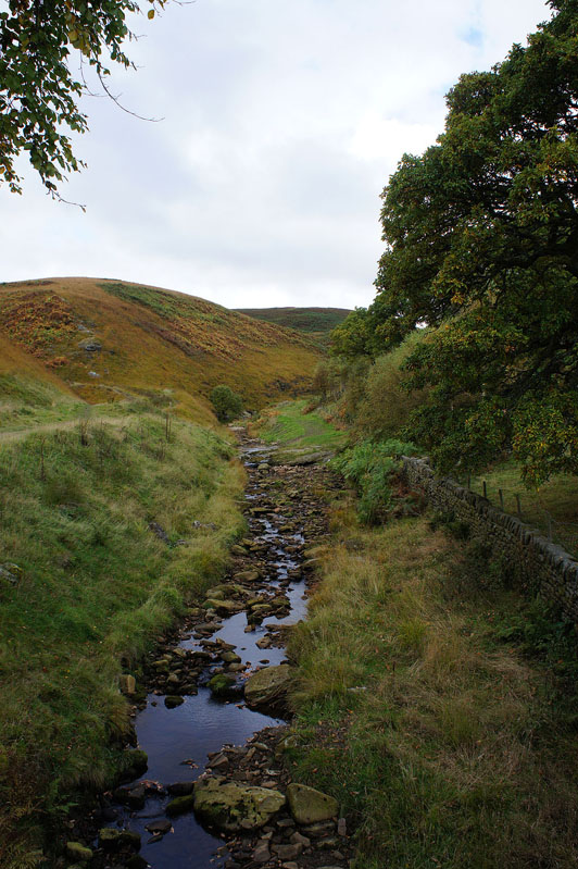
Looking up Haigh Clough from the bridge
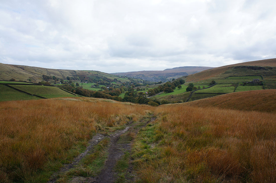
Looking back towards Marsden and the Colne Valley as I follow the bridleway up by Willykay Clough
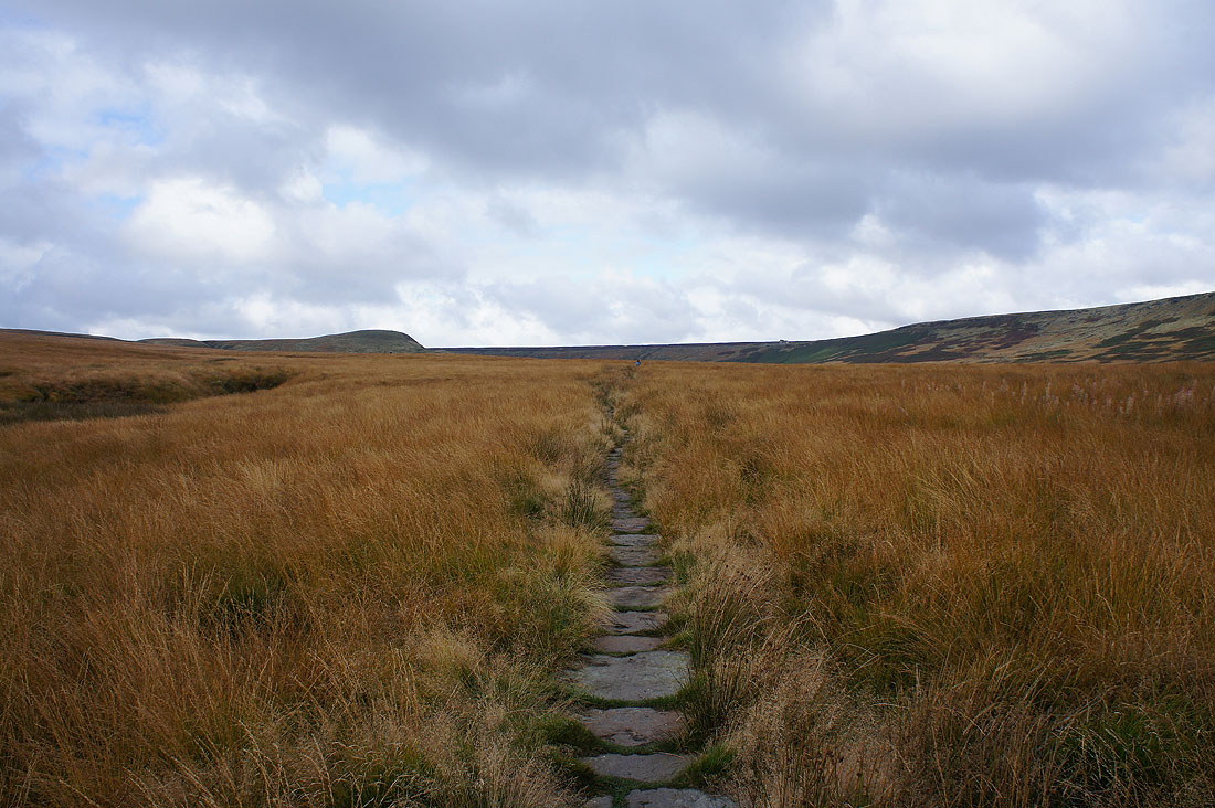
The way ahead
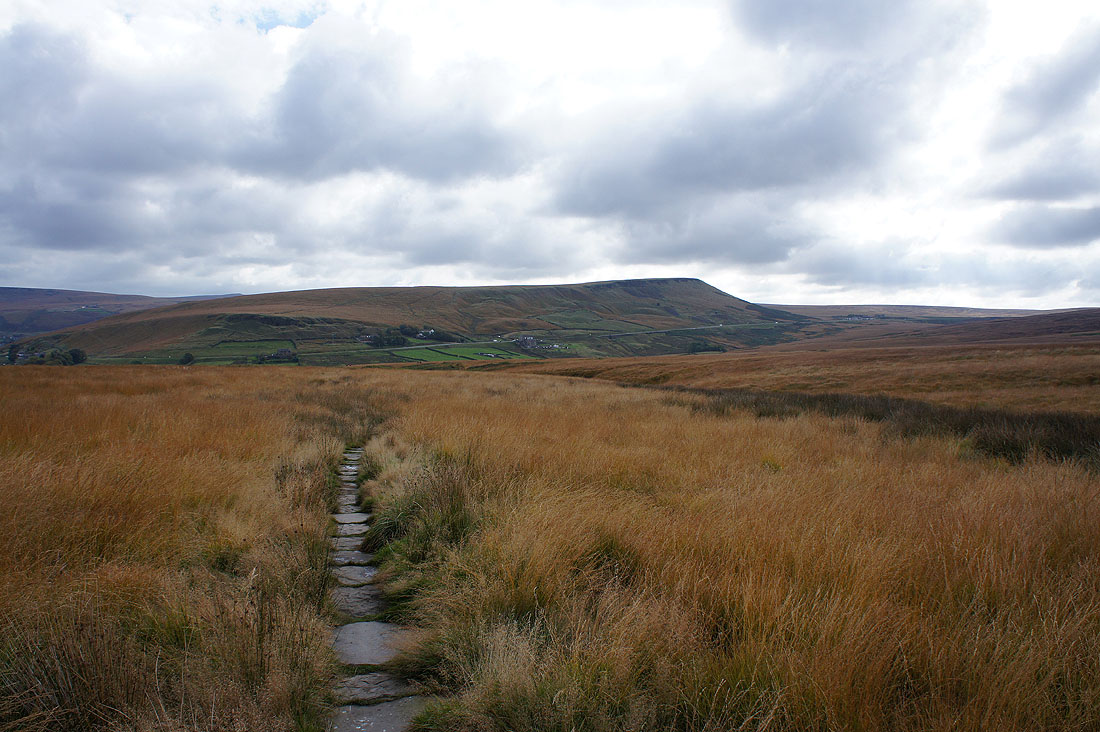
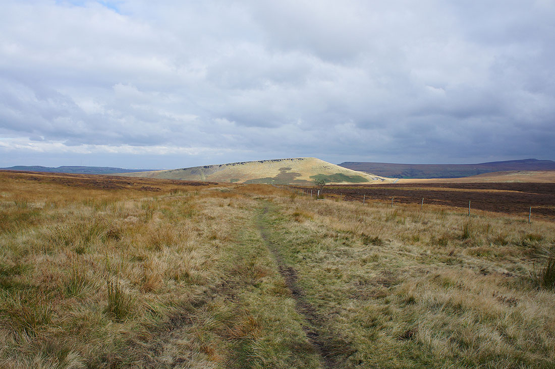
Pule Hill. I'll be up there later in the day.
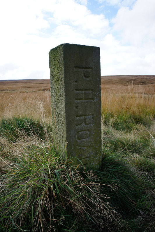
Several of these posts mark this long standing bridleway known as Rapes Highway
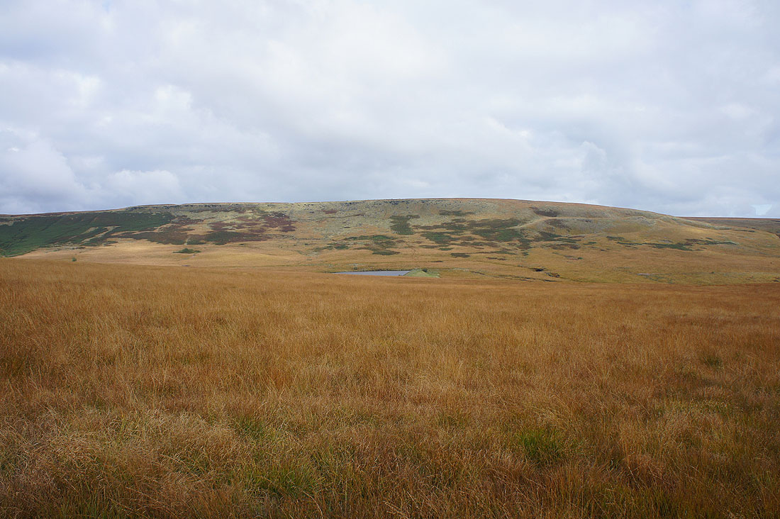
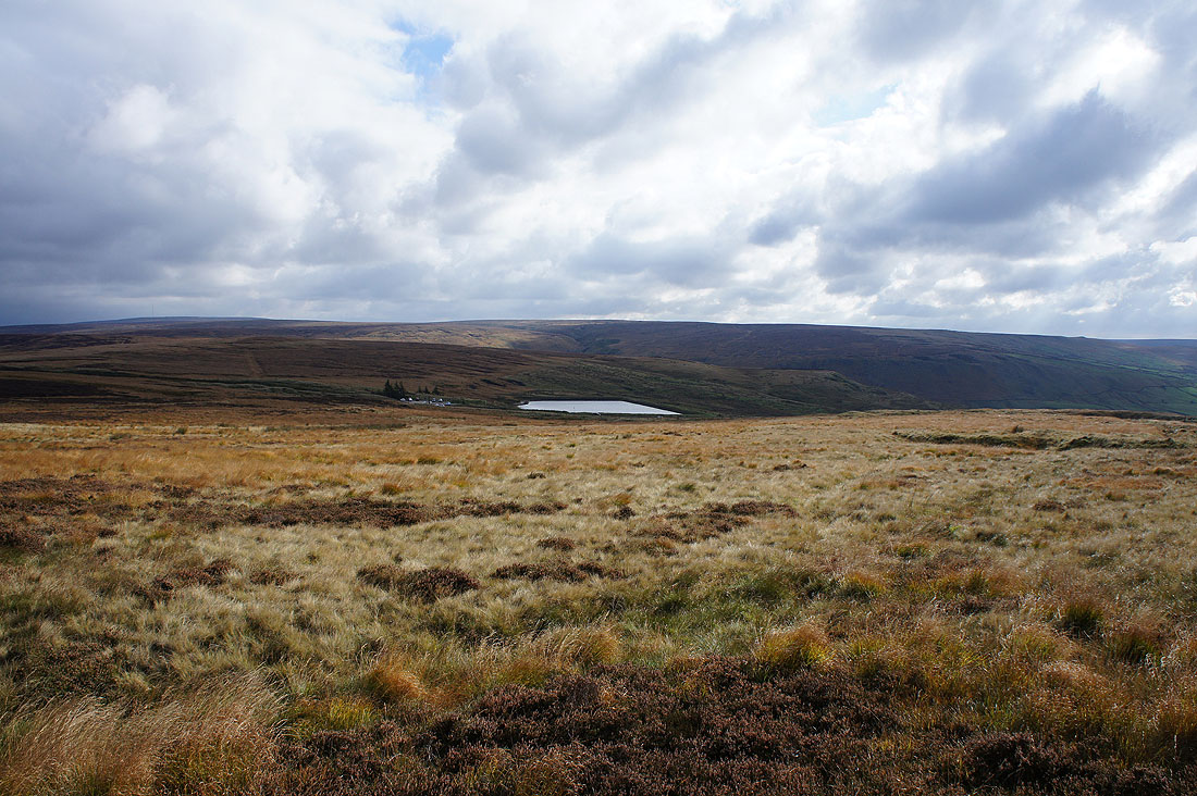
Buckstones and March Haigh Reservoir
A last look back to the Colne Valley as I reach the moor top
Rape Hill on the other side of the Huddersfield Road
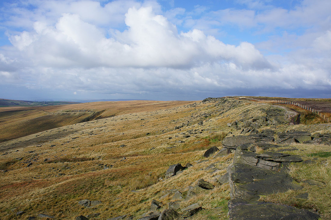
Looking south from Northern Rotcher to Millstone Edge. The sun has certainly picked the right time to make an appearance. It really brings out the colours of the moors.
The Castleshaw Reservoirs and Saddleworth to the southwest
On Northern Rotcher
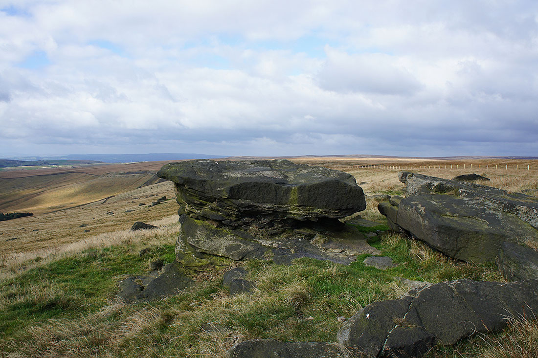
The Dinner Stone
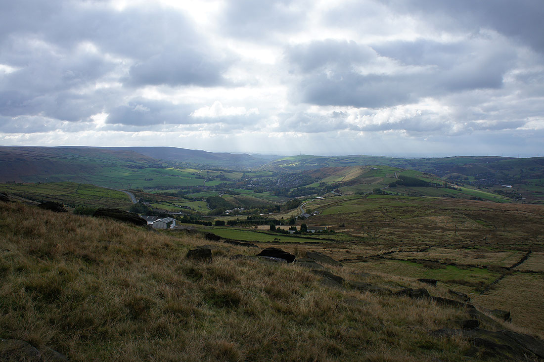
The village of Diggle from Millstone Edge
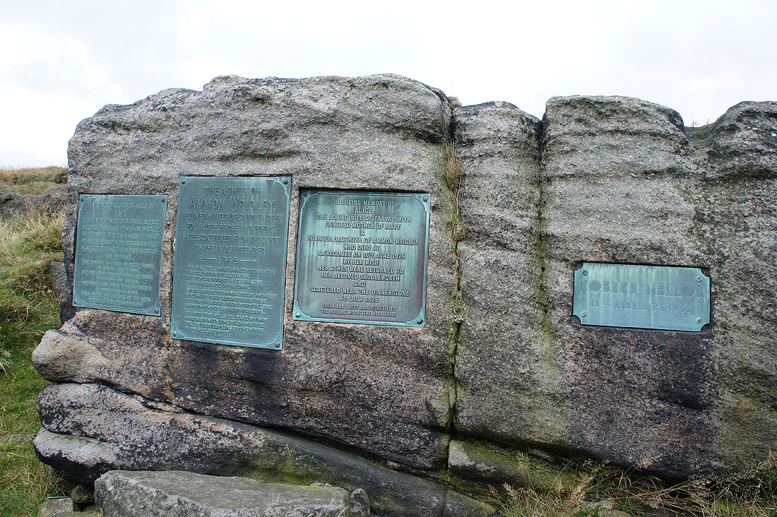
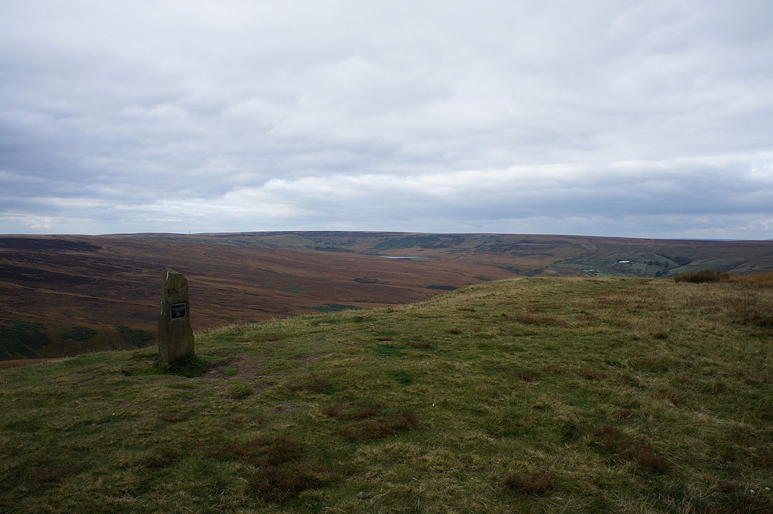
The Ammon Wrigley memorial stone
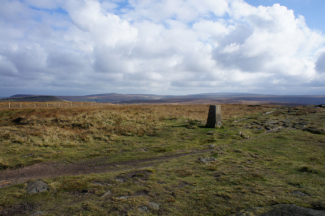
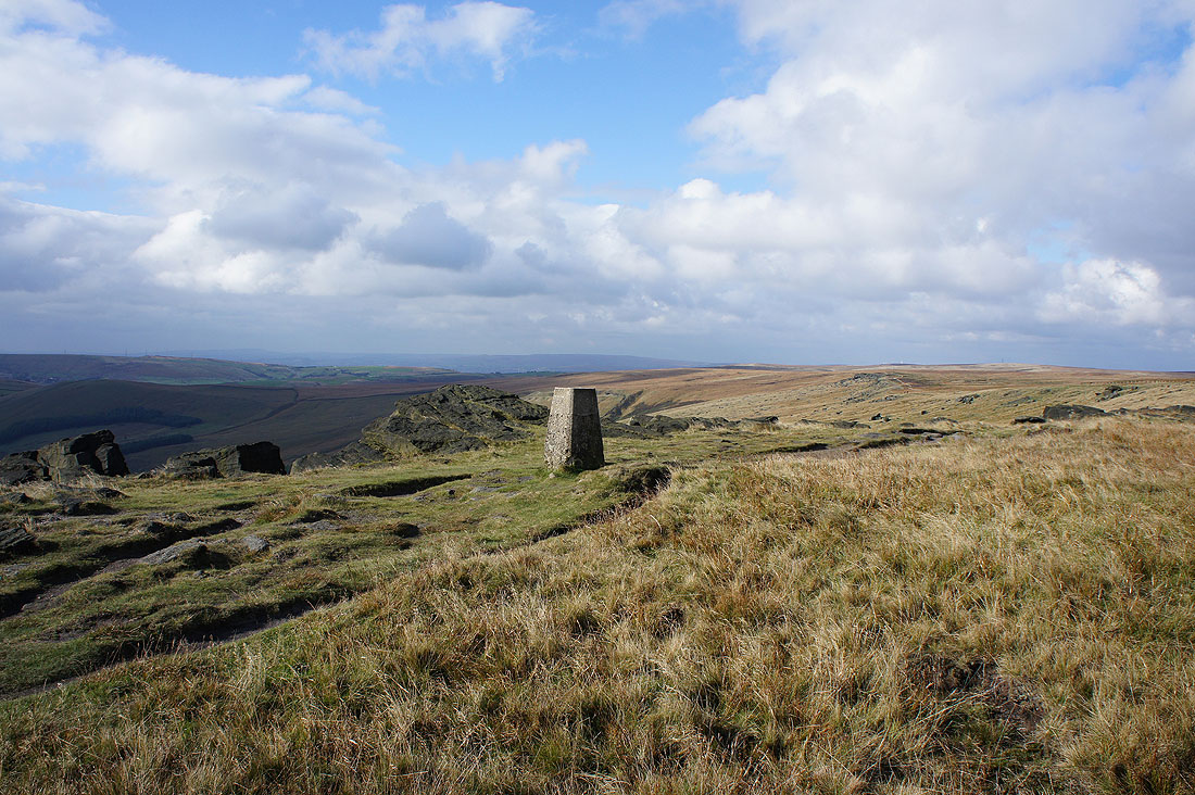
The sun is back out and I've had my lunch so a few photos of the view from the trig point. West Nab, Wessenden Moor and Black Hill in the distance.
To the northwest, the outlines of Winter Hill, the West Pennine Moors and the moors around Rossendale
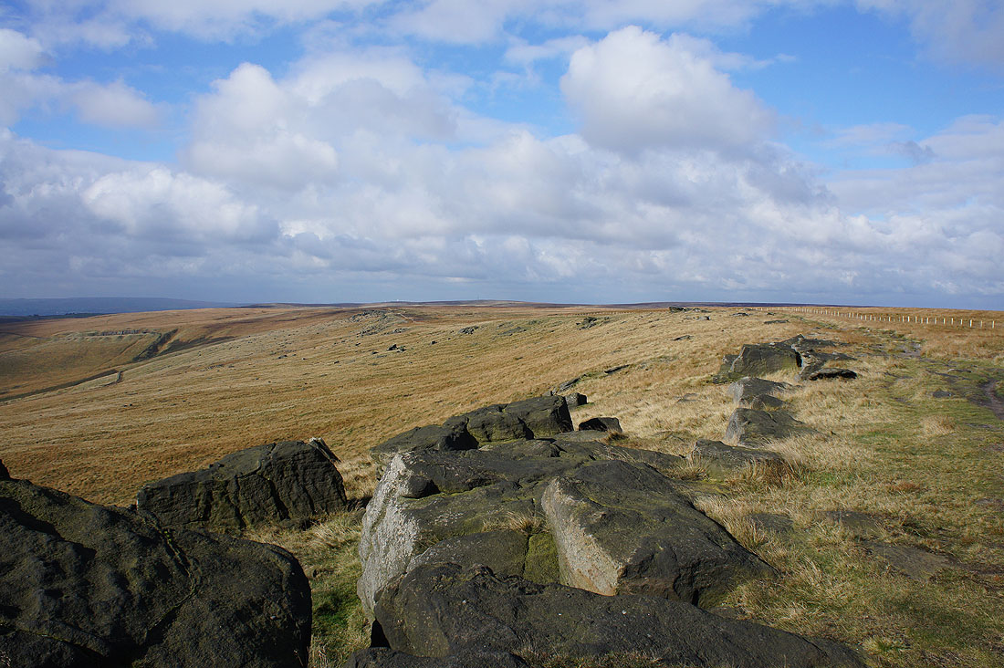
From Millstone Edge to Northern Rotcher
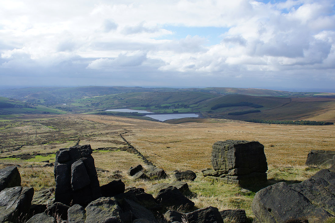
The Castleshaw Reservoirs
Brun Clough Reservoir with Saddleworth Moor beyond
Pule Hill comes into view
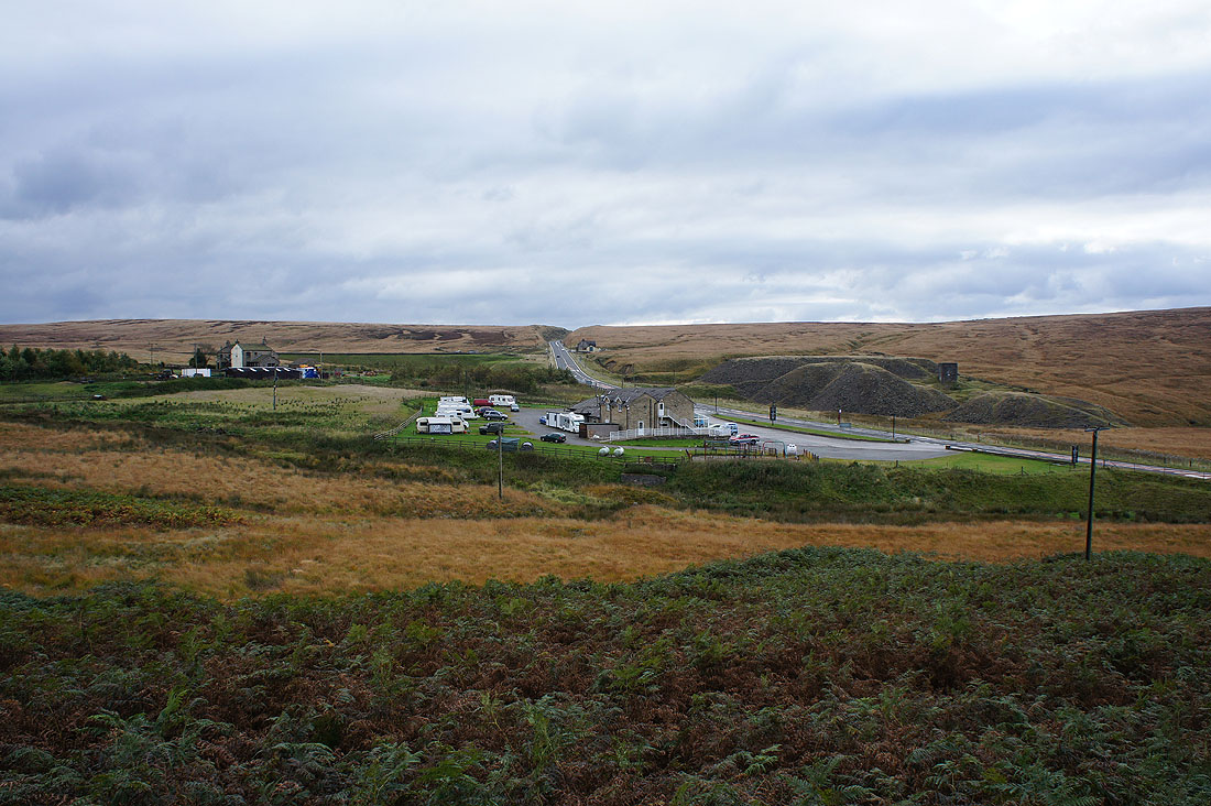
The Carriage House pub by the A62 as I take the Standedge Trail below Pule Hill
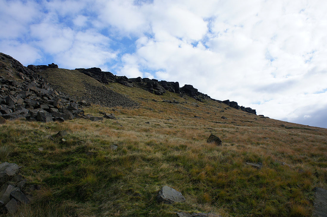
Below the gritstone edge of Pule Hill
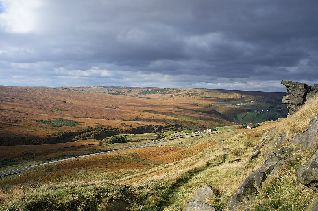
Redbrook Clough, Close Moss and Buckstones from the side of Pule Hill. Great colours with the low sun on the moors.
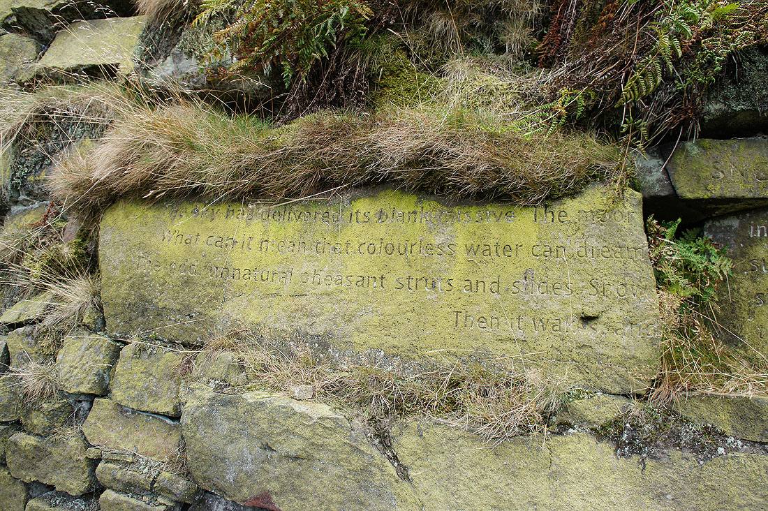
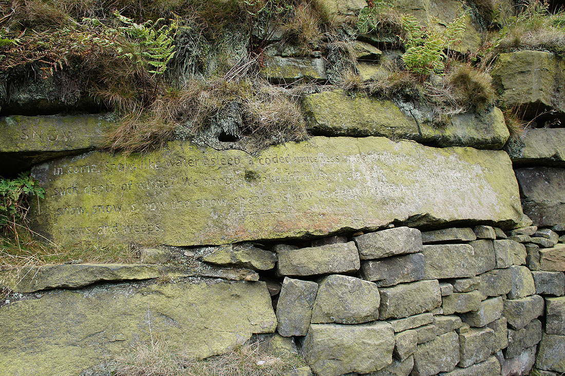
"Snow". One of the six Stanza Stones by Simon Armitage. This is the third that I've had the pleasure of seeing. It took me a few minutes to find its location in the disused quarry on the western flank of Pule Hill.
SNOW
The sky has delivered its blank missive. The moor in coma. Snow, like water asleep, a coded muteness to baffle all noise, to stall movement, still time.
What can it mean that colourless water can dream such depth of white? We should make the most of the light. Stars snag on its crystal points. The odd, unnatural pheasant struts and slides. Snow, snow, snow is how the snow speaks, is how its clean page reads.
Then it wakes, and thaws and weeps.
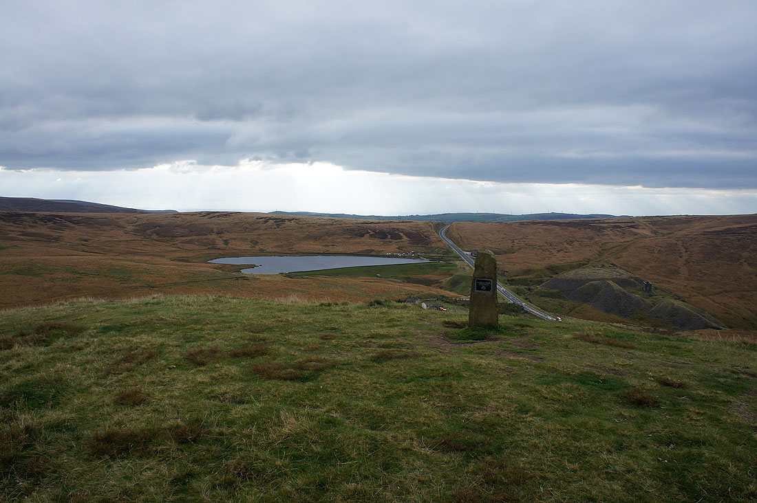
Buckstones and March Haigh Reservoir from the summit of Pule Hill
Redbrook Reservoir and the cutting of the A62 through Standedge
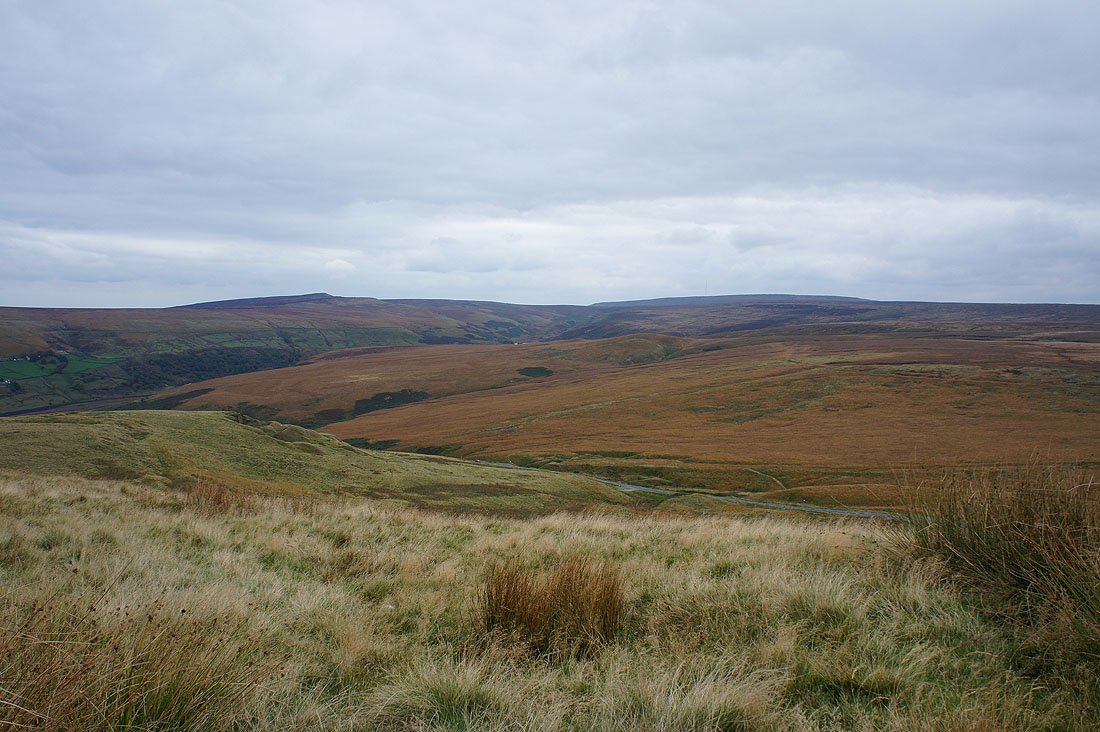
West Nab, the Wessenden Valley and Black Hill
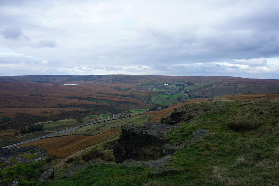
The view from the gritstone edge of Pule Hill
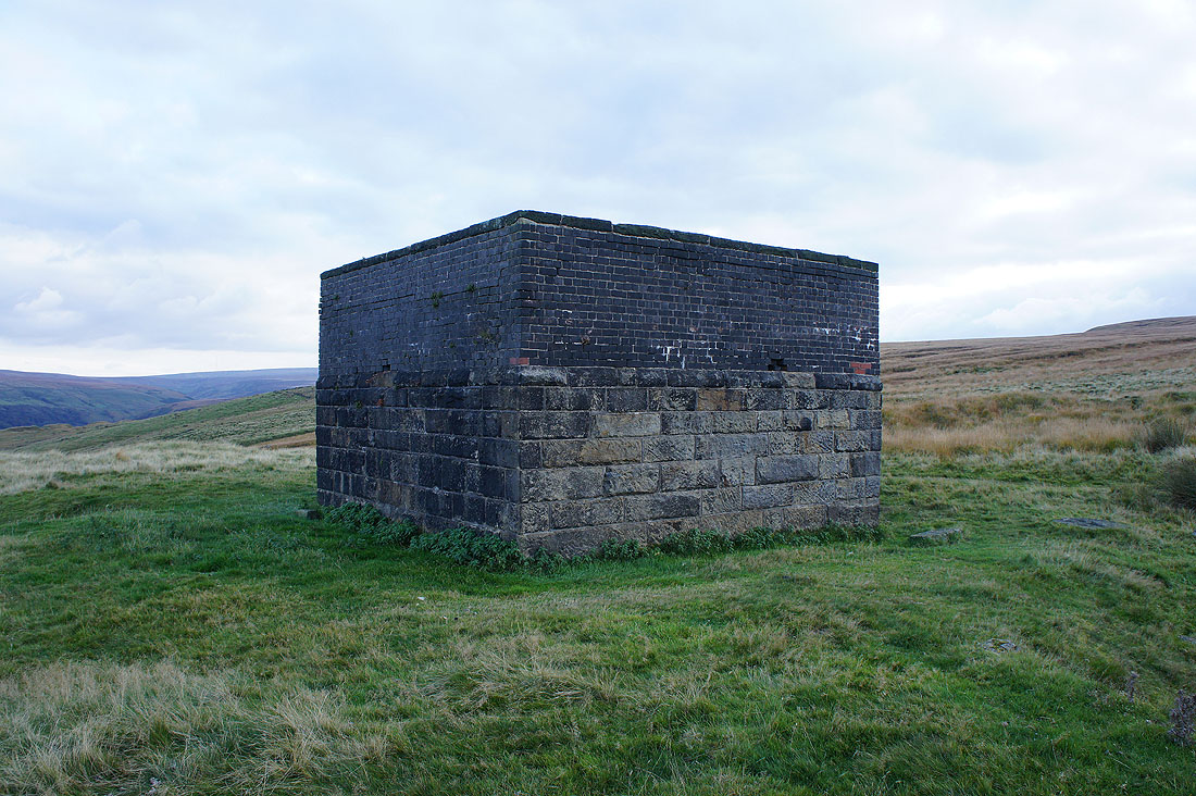
One of the air shafts for the Standedge Tunnels below my feet
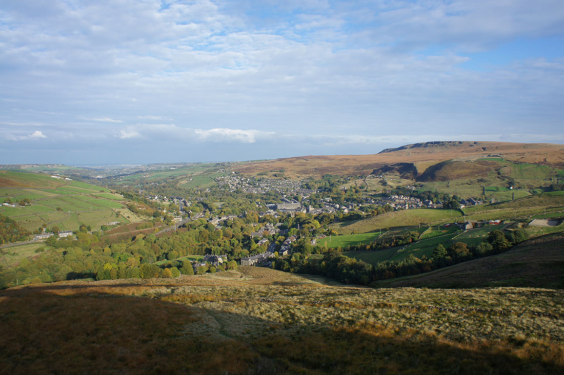
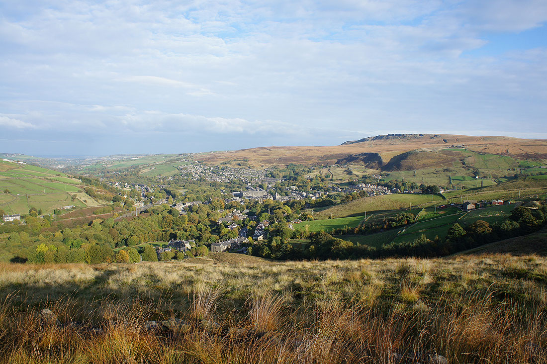
The sun is out over Marsden as I reach the northern end of Pule Hill
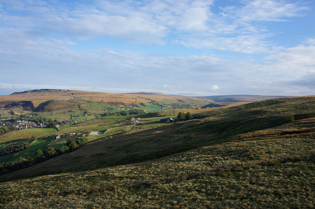
Looking across to Shooters Nab and the Wessenden Valley
Sorry. Couldn't resist taking another shot.
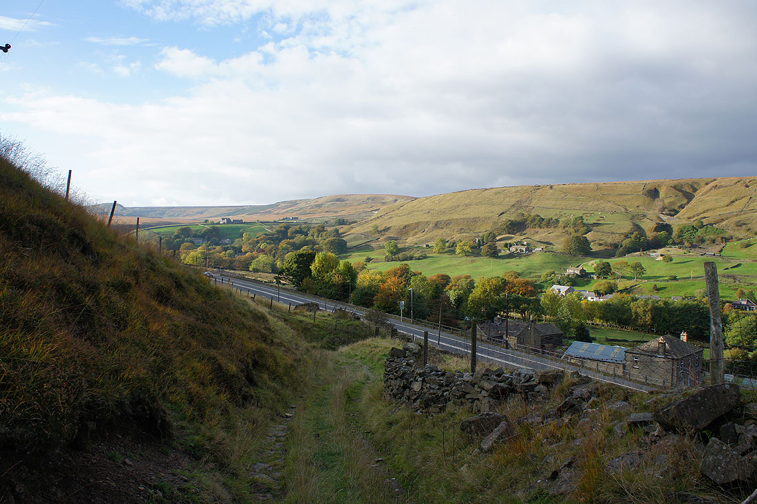
On the track off Pule Hill to the A62
Back at the Standedge Visitor Centre
