17th October 2016 - Upper Ribblesdale
Walk Details
Distance walked: 12.0 miles
Total ascent: 1664 ft
OS map used: OL2 - Yorkshire Dales, Southern & Western areas
Time taken: 6 hrs
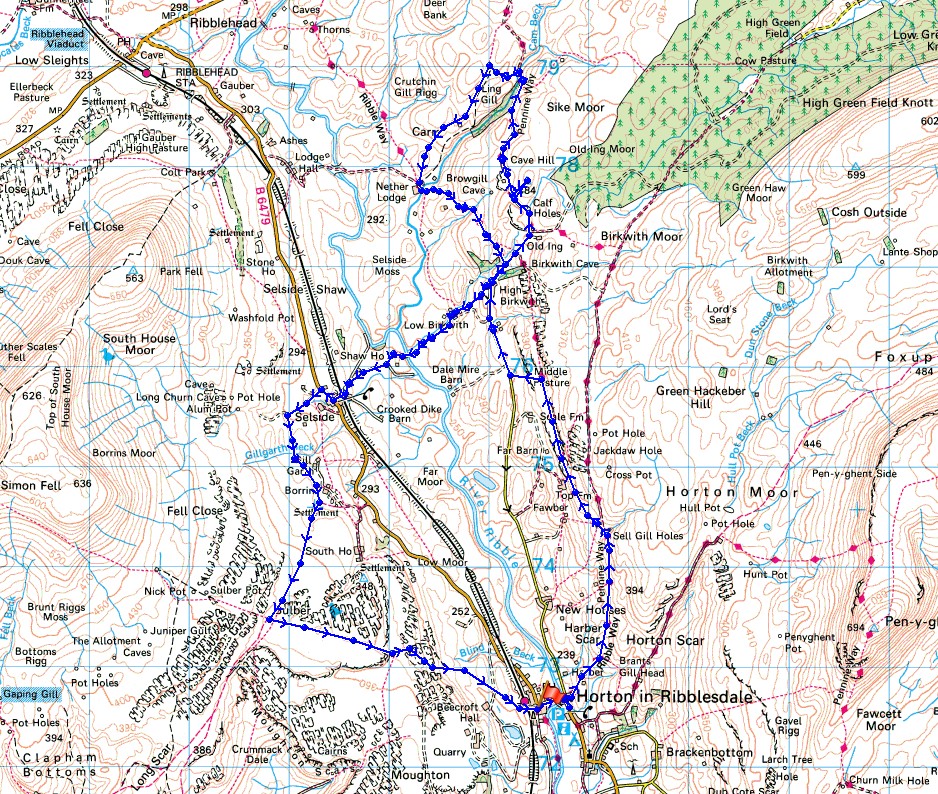
Route description: Horton in Ribblesdale-Pennine Way-Ribble Way-Scale Pasture-Pennine Bridleway-High Birkwith-Pennine Way-Cave Hill-Pennine Way-Ling Gill Bridge-Nether Lodge-Ribble Way-High Birkwith-Low Birkwith-Selside-Pennine Bridleway-Sulber-Sulber Nick-Horton in Ribblesdale
The last day of my long weekend and I decided to head to Horton-in-Ribblesdale for a walk that stuck to the valley floor or the low moorland above it. It made a change from Penyghent, which has been my only target from Horton and it meant that I could get to know Ribblesdale better. There's plenty of interest on the sides of the valley with numerous pot holes and caves. The route I followed today took in a few of them. It's a good job that I was doing a low level walk given the weather I ended up with. I was expecting better given what was originally forecast but after enduring ninety minutes of persistent heavy showers it finally brightened up around midday. There were then a few hours of sunny spells and a strong wind before clouding over with rain again on the way back down to Horton. The day was rounded off with fish and chips at "The Fisherman" in Settle.
From the car park in Horton I walked by the road towards Ribblehead before turning right at The Crown pub and taking the trail of the Pennine Way. I followed the trail north to Sell Gill Holes where I joined the Ribble Way and I left this trail by taking a path down Scale Pasture to reach the road to High Birkwith. This road is part of the Pennine Bridleway and I stayed on this past High Birkwith to join up with the Pennine Way again at Old Ing. After a detour to the top of Cave Hill I finally left the Pennine Way at Ling Gill Bridge, the northern limit of my route. At Ling Gill Bridge I turned left onto a path to New House Barn, then left again onto a path down to Nether Lodge, where I joined the Ribble Way then Pennine Bridleway back to High Birkwith. From High Birkwith I then followed the path down to Low Birkwith, by Coppy Gill, across the Ribble and up to the hamlet of Selside. I turned right and walked along the road for a short distance to reach the byway on the left onto the moor. At the top of the byway I turned left, (straight on is the path to Alum Pot, which is on private land and there is a fee of £1 payable to Selside Farm, I didn't have time but I'll definitely have a look at it sometime) onto a track then path across fields to join up with the Pennine Bridleway above Borrins Farm. This was followed south across the limestone pavements of Sulber to a crossroads of paths where I turned left and took the one through Sulber Nick and back to Horton.
Route map
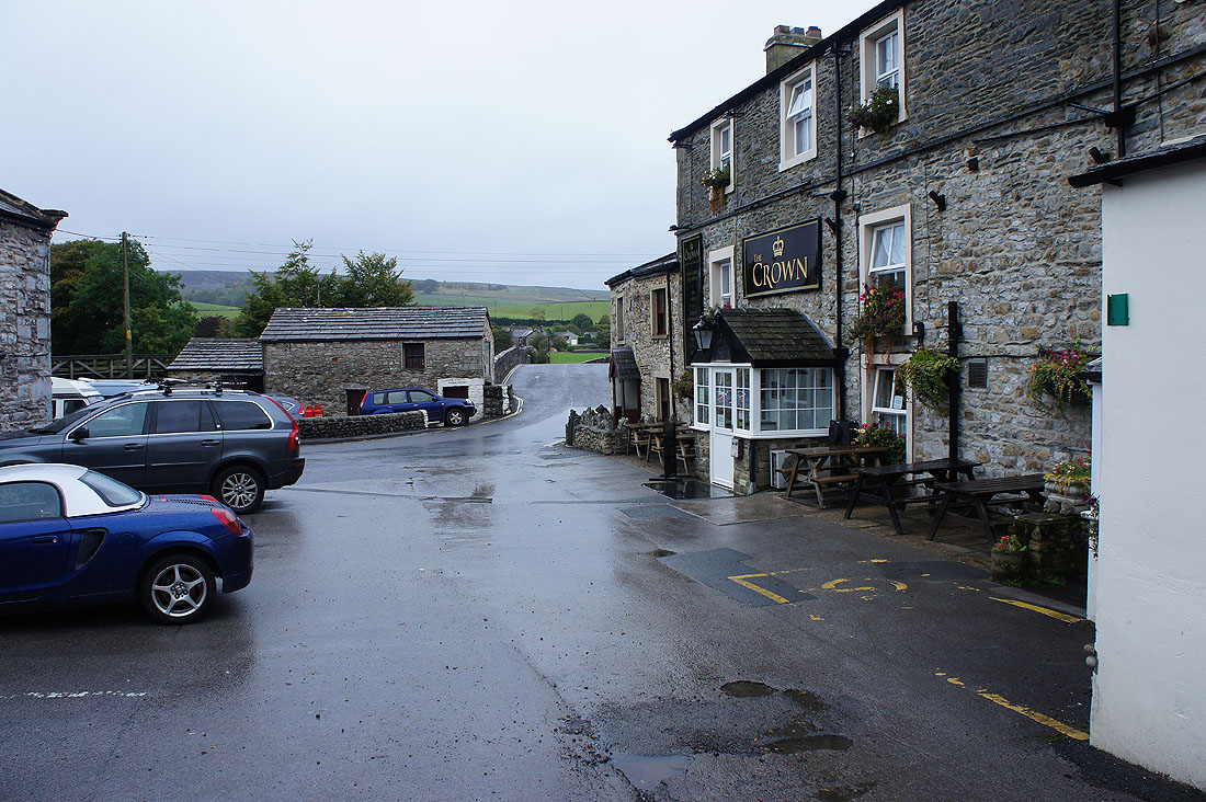
It's a grey morning as I leave Horton-in-Ribblesdale..
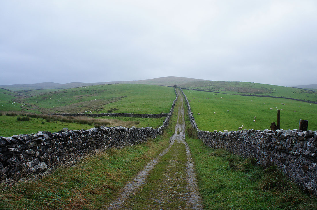
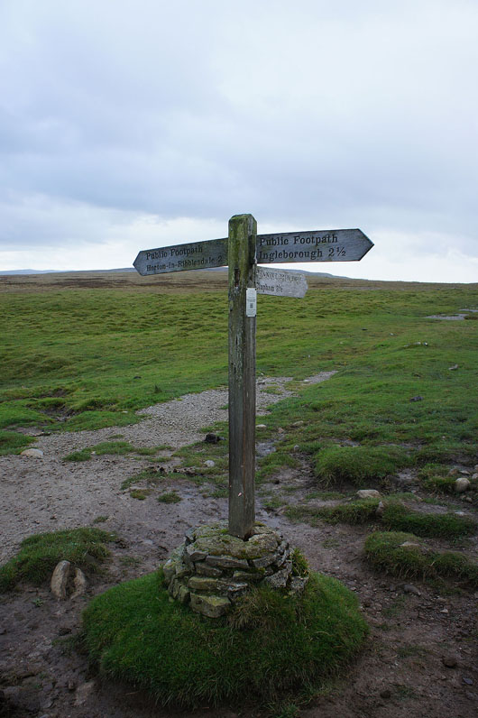
..and take the Pennine Way
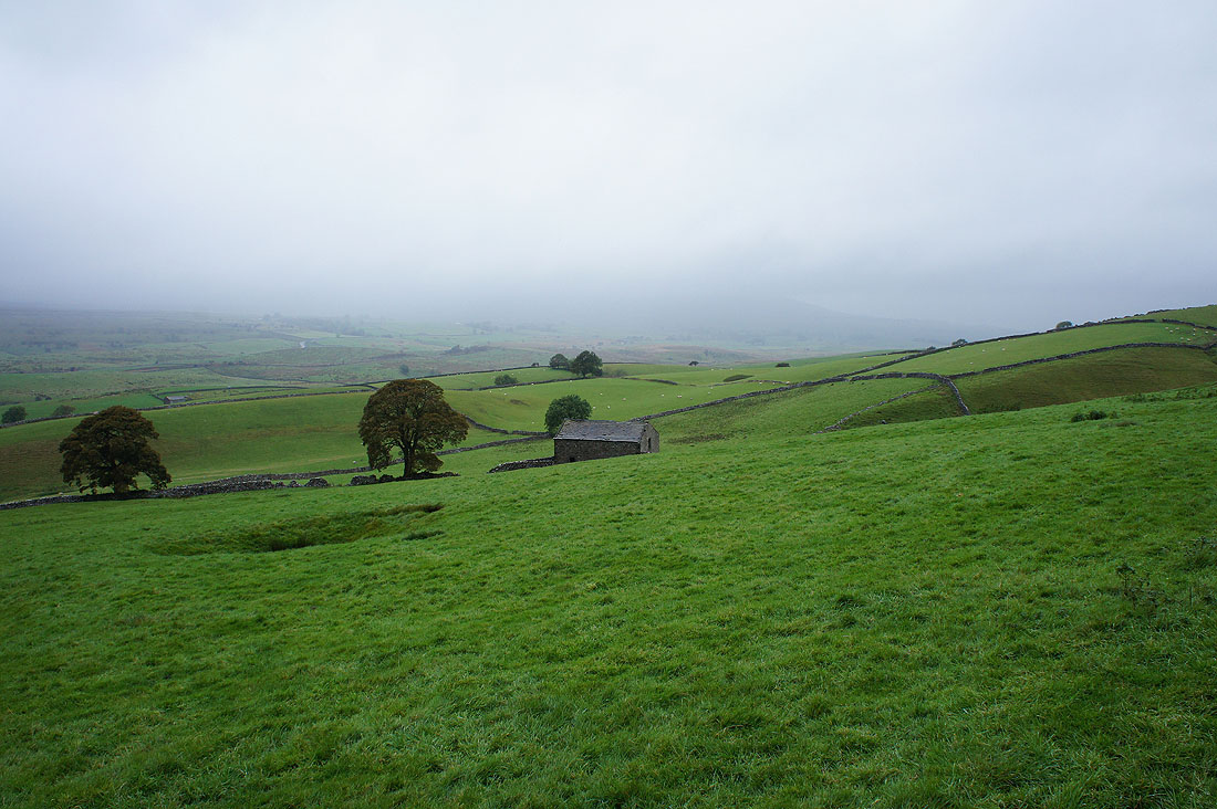
Looking across a very murky Ribblesdale. It's raining quite heavily at the moment and the only good thing is that the wind is at my back.
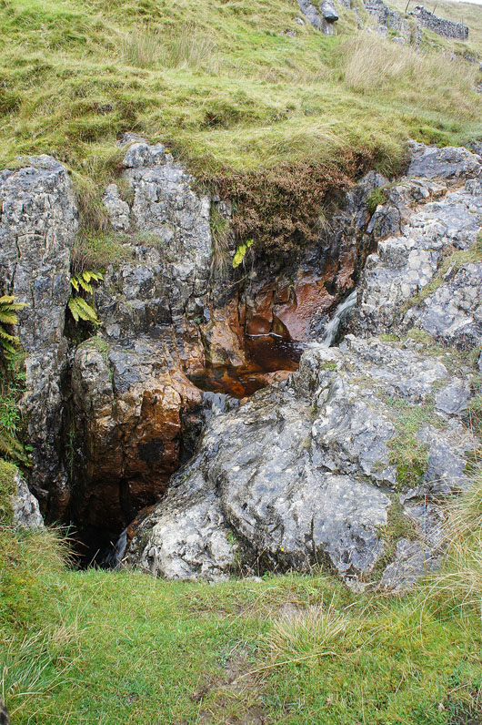
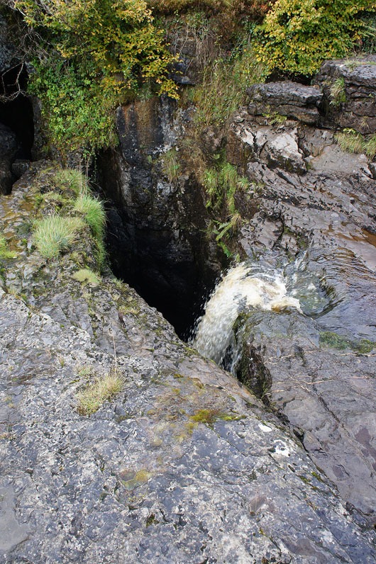
Sell Gill Beck disappears into Sell Gill Holes
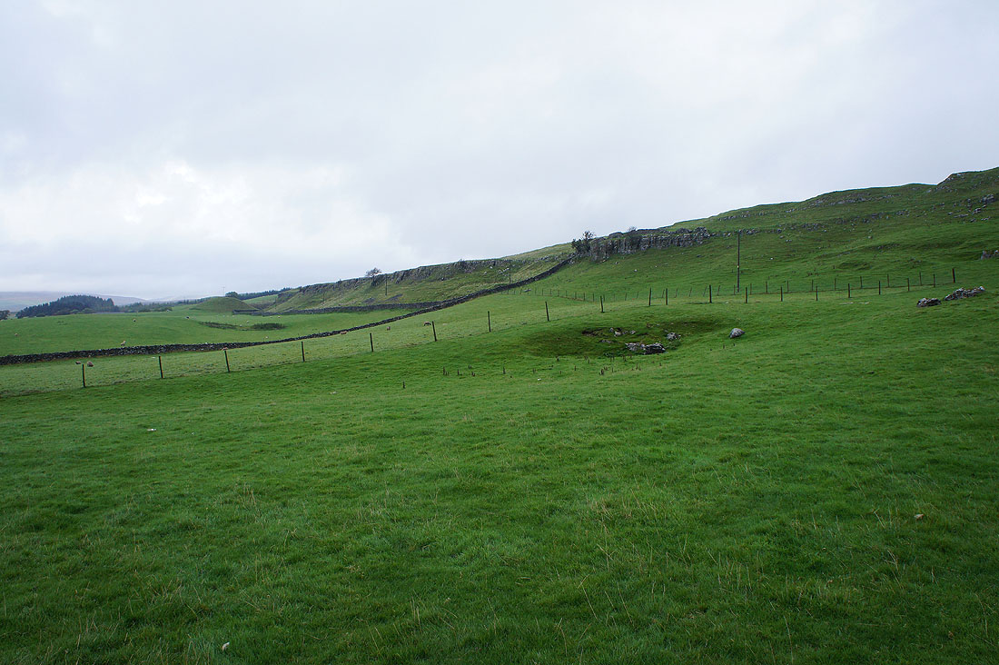
The limestone escarpment of Sheep Scar. I left the Pennine Way for the Ribble Way and now I'm on a footpath down to the road to High Birkwith.
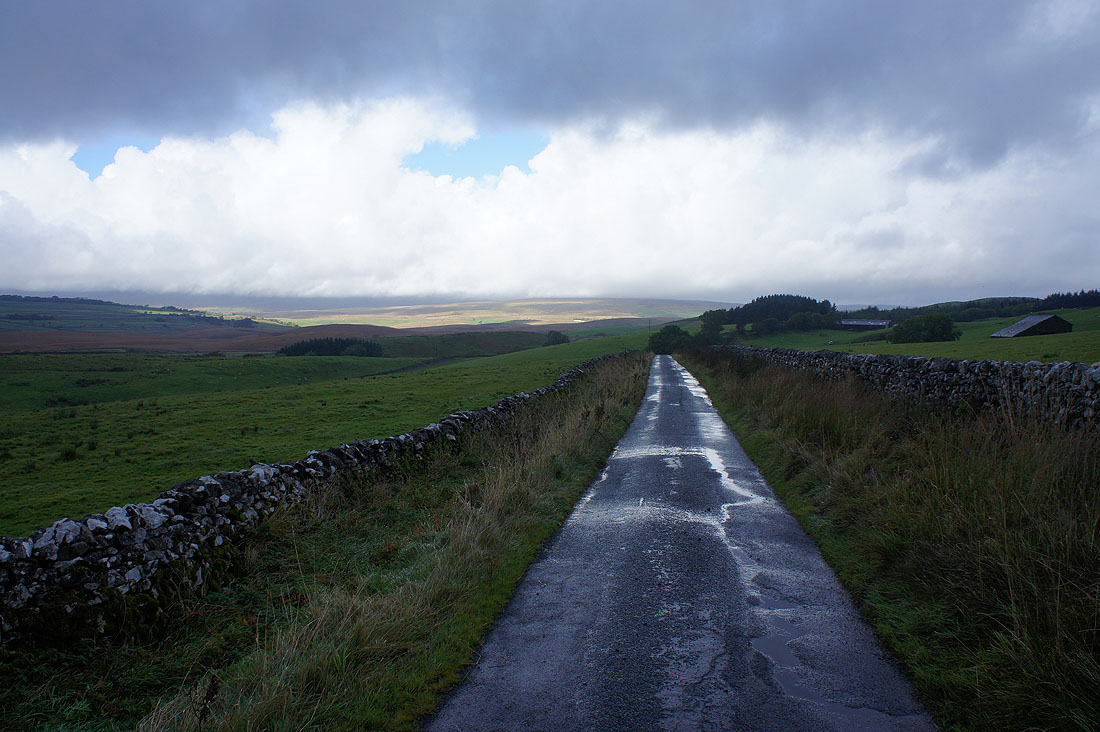
It looks like the weather is improving at last
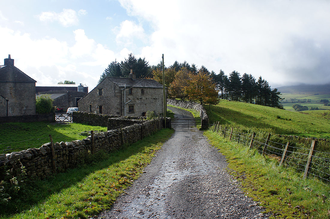
The sun is out at High Birkwith
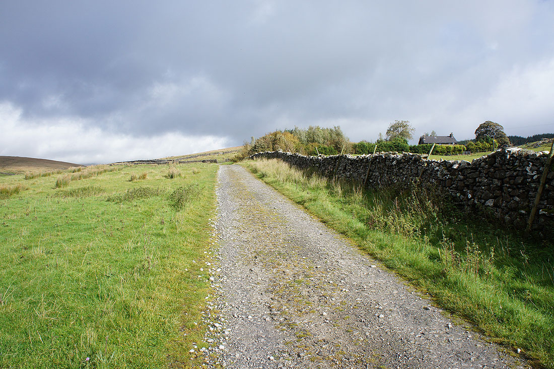
On the Pennine Bridleway as I approach Old Ing
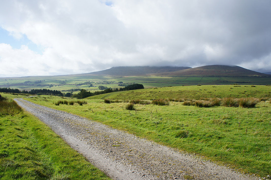
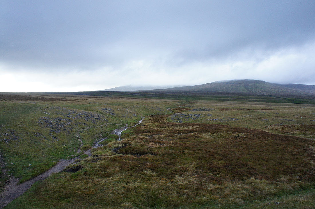
Looking back to a cloud topped Simon Fell with Park Fell on the right
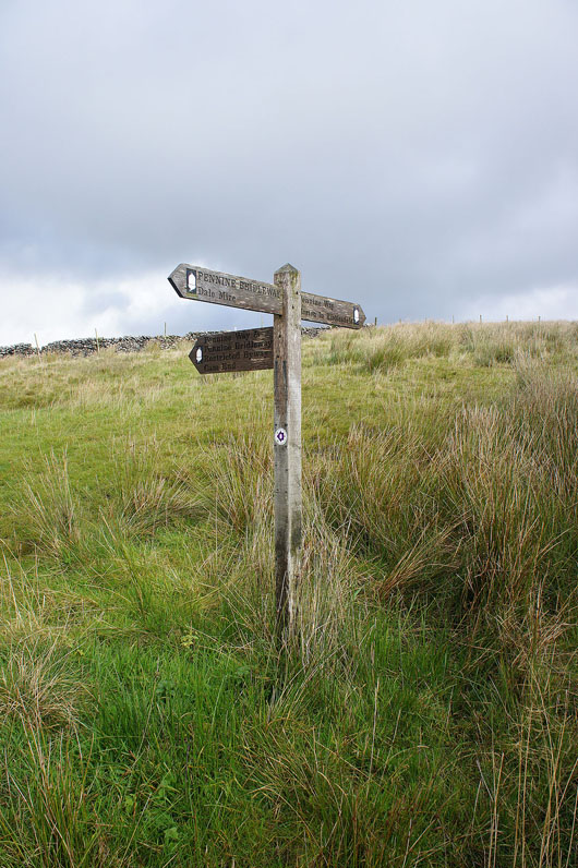
The Pennine Way and Bridleway meet
A stile over a wall gave me access to Calf Holes
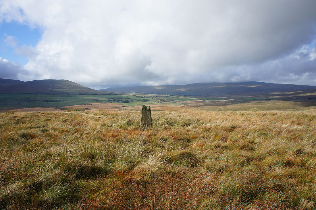
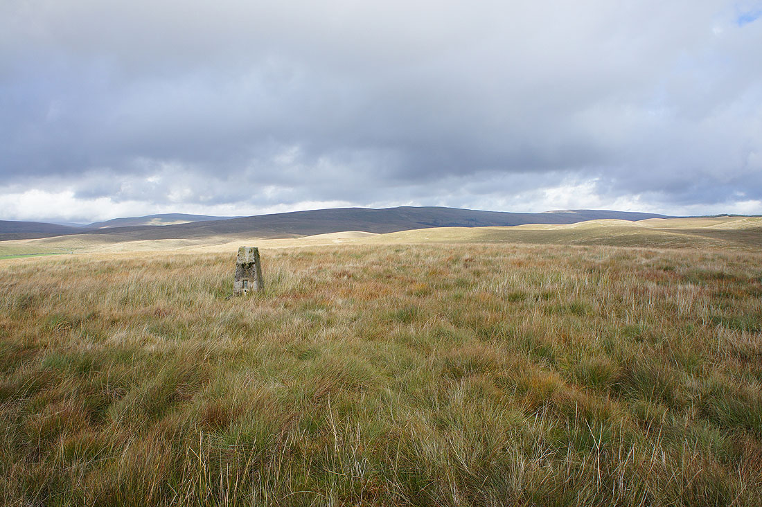
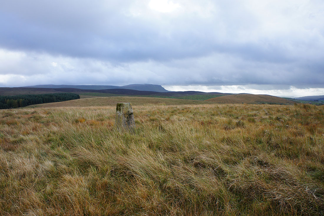
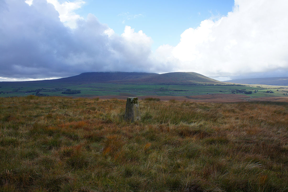
Since I was passing it seemed to be worth the effort to leave the Pennine Way to reach the trig point on the top of Cave Hill. A quadbike track helped with the boggy trudge. Looking towards Ribblehead with the top of Whernside in cloud.
Cam Fell to the north
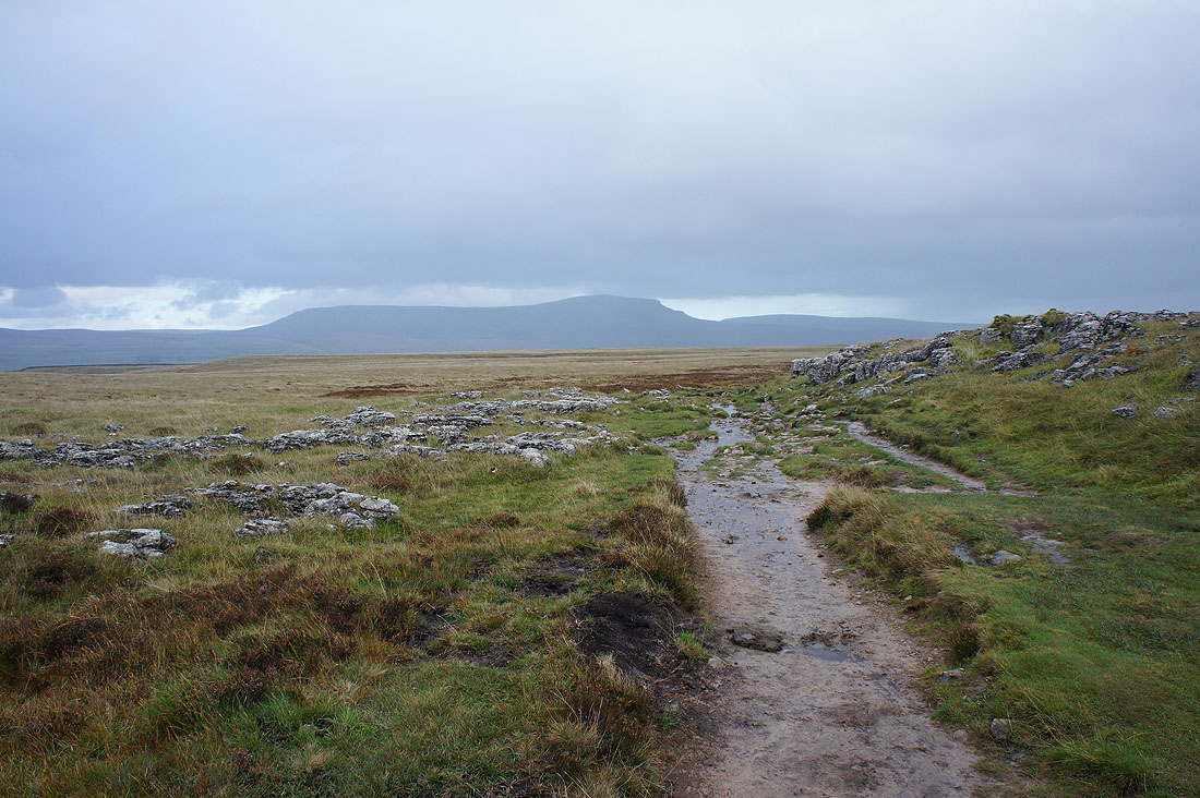
Penyghent
Simon Fell and Park Fell
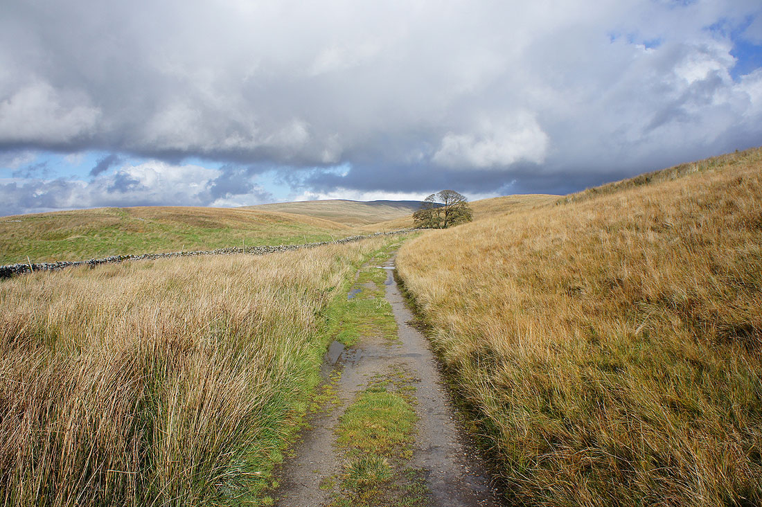
Back on the Pennine Way to Ling Gill Bridge. It feels great to be here in the autumn sunshine and despite the strong breeze it feels mild.
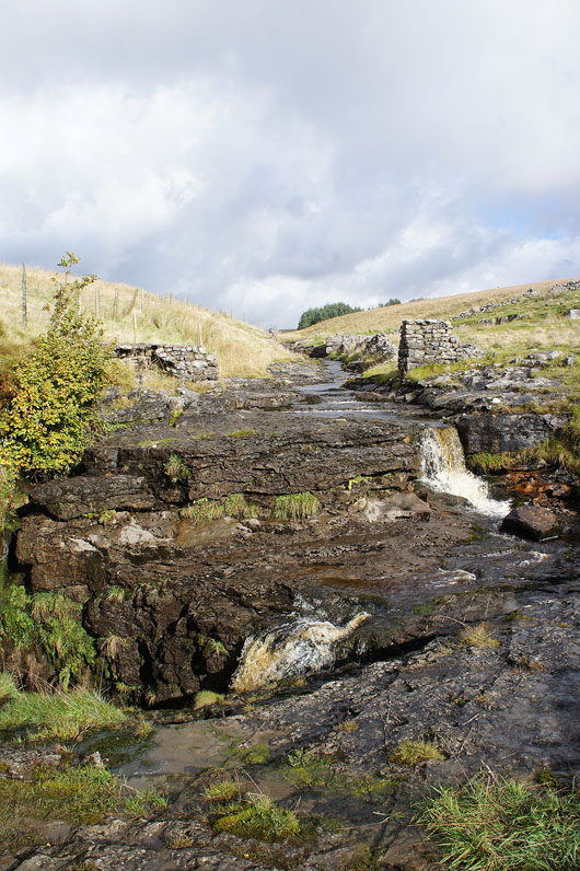
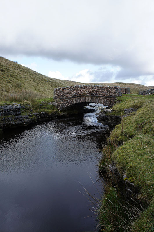
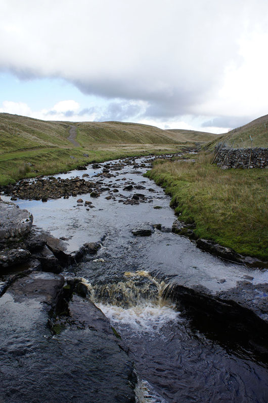
Ling Gill Bridge and Ling Gill Beck from it. This was where I left the Pennine Way.
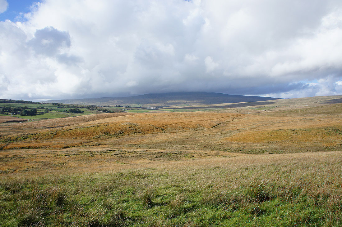
Ribblehead and Whernside as I follow the path down to Nether Lodge
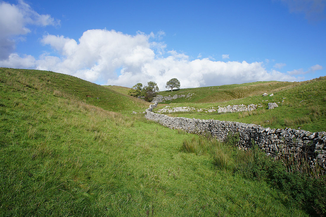
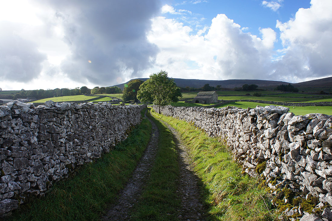
Blue skies and limestone on the way to High Birkwith
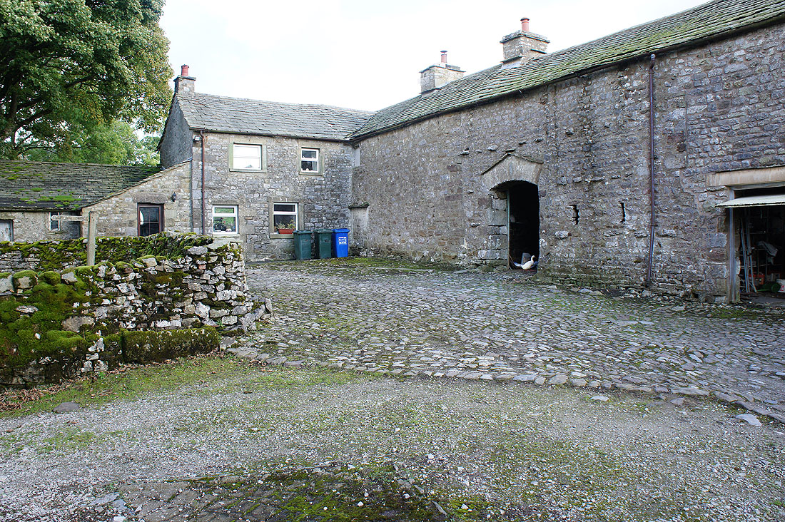
At Low Birkwith Farm
Sunshine on Simon Fell as I follow the path by Coppy Gill..
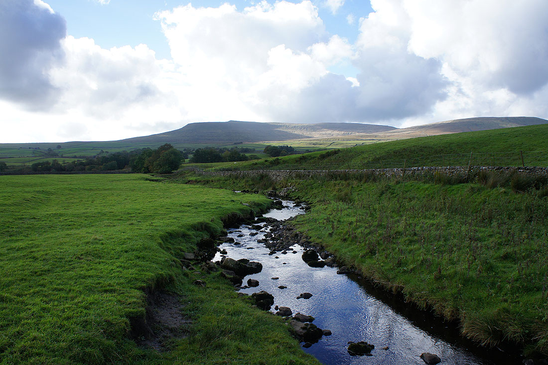
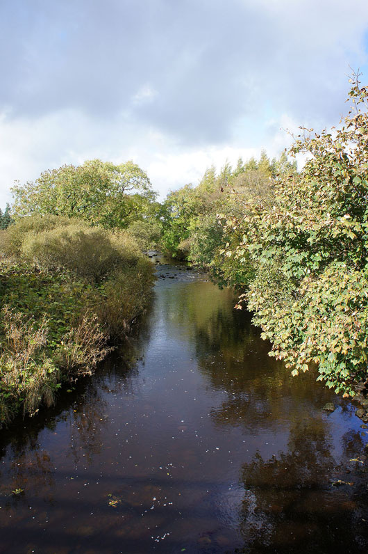
..to cross the River Ribble
Approaching the hamlet of Selside
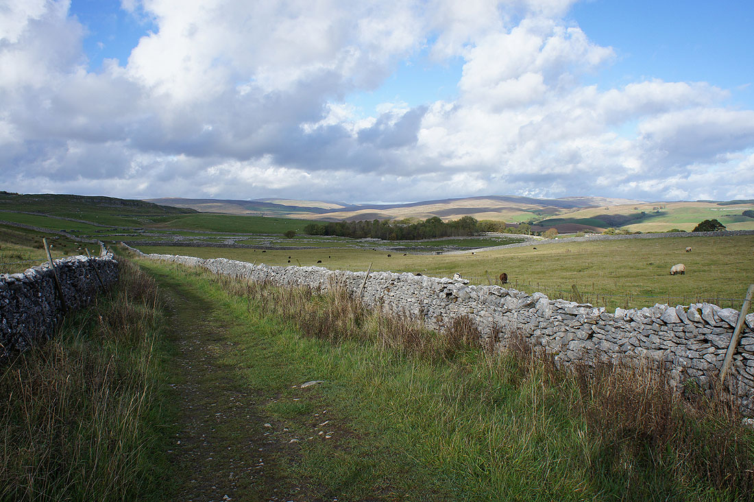
Looking north up Ribblesdale to Gayle Moor and Cam Fell from the path to Sulber
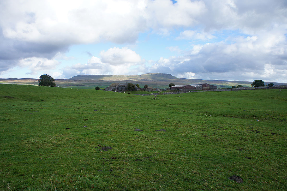
Penyghent above Borrins Farm. The sunshine is disappearing and it looks like rain is on the way.
At the path crossroads on Sulber where I'll turn left for the walk back to Horton
Penyghent starts to disappear in the falling rain
Looking back from Sulber Nick and any chance of seeing Ingleborough has long gone
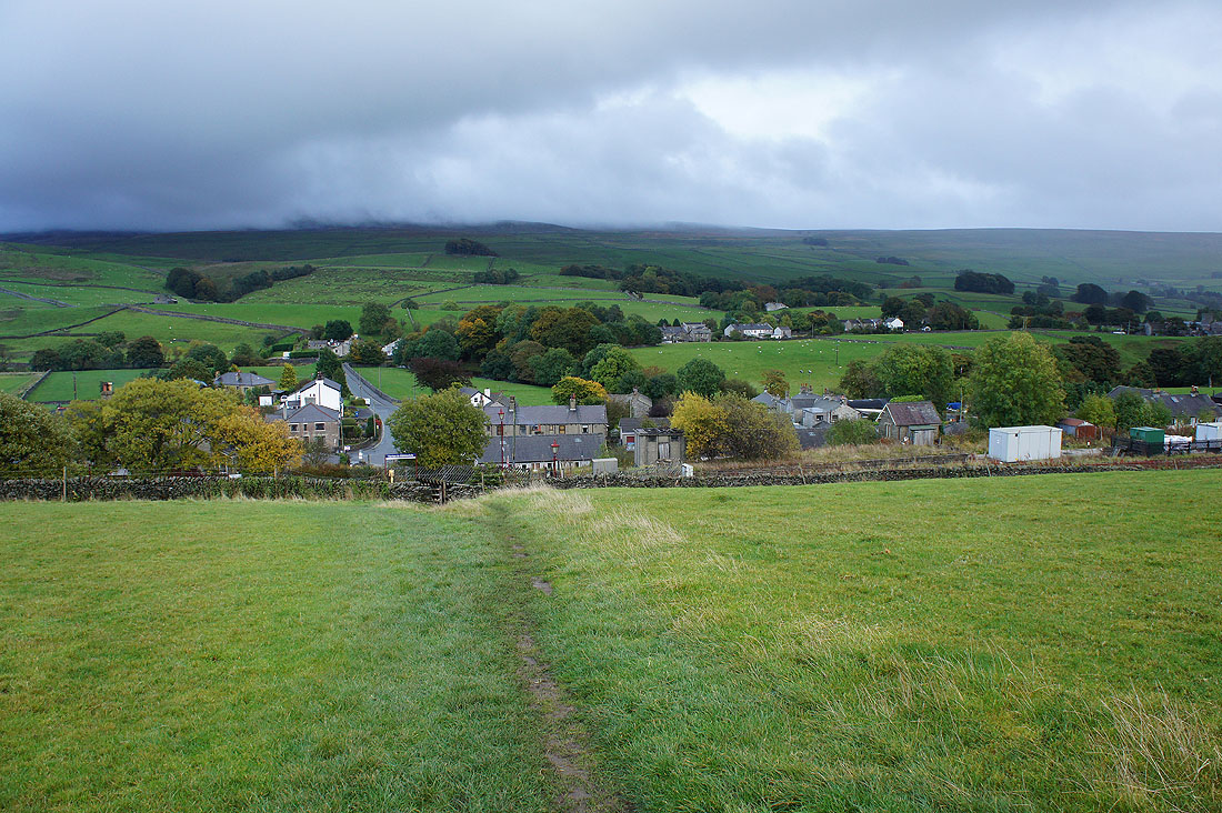
The final descent to Horton and..
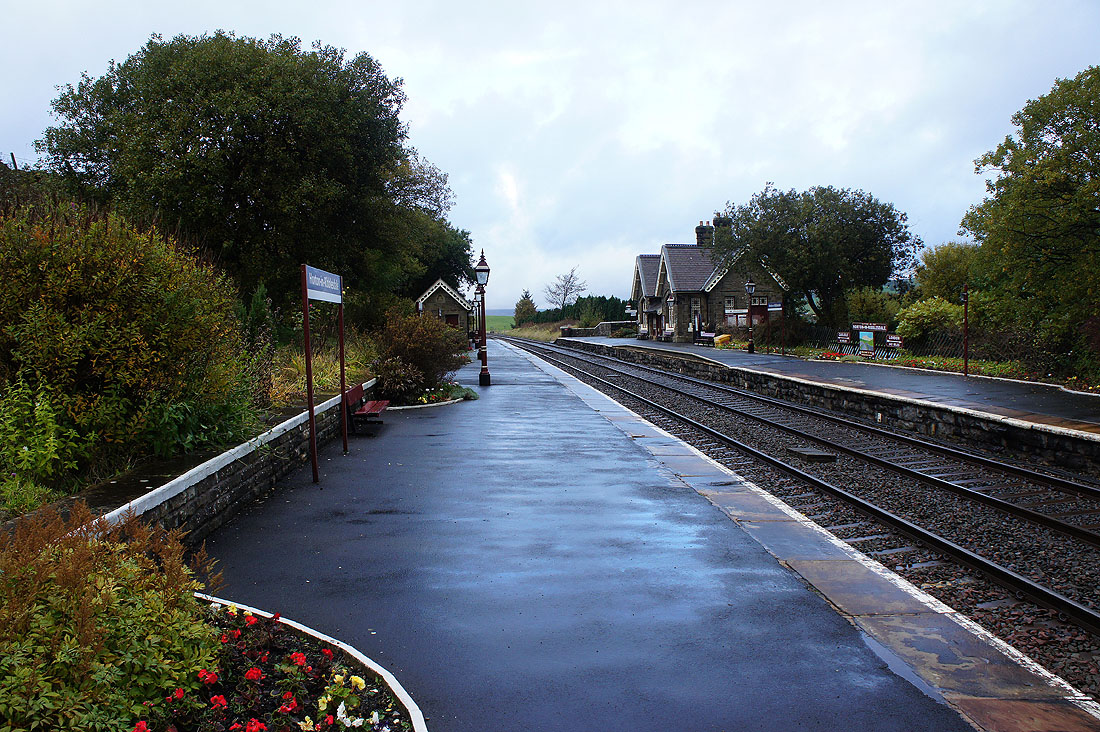
..a deserted station on the Settle to Carlisle line
