17th October 2020 - Pendle Hill
Walk Details
Distance walked: 7.0 miles
Total ascent: 1012 ft
OS map used: OL41 - Forest of Bowland & Ribblesdale
Time taken: 3.5 hrs
Route description: Nick of Pendle-Pendleton Moor-Ogden Clough-Pendle Hill-Downham Moor-Worston Moor-Scout Cairn-Mearley Moor-Pendleton Moor-Nick of Pendle
After a summer of relative freedom COVID-19 is back, and a system of tiered restrictions were put into place during the week with Lancashire, where I live, being put into the highest tier. Basically, this means that I should stick to my local area when I go out for a walk. It's been a few months since I last had a walk on Pendle Hill and with some reasonable weather forecast for this afternoon, I decided to head for the Nick of Pendle for what is probably my favourite route on the hill. There wasn't much in the way of sunshine while I was out but it did stay dry.
From my starting point at one of the laybys on the road across the Nick of Pendle I made my way up onto Pendleton Moor, making a short diversion to Deerstones before returning to the path to Ogden Clough. I kept on the path as it made its way into Ogden Clough and followed it all the way up to the trig point and summit. I then crossed the stile onto Downham Moor, followed the path west, and crossed the stile onto Worston Moor to reach the Scout Cairn. I then walked across Mearley Moor before crossing the top of Howcroft Brook to pick up the path across Pendleton Moor back to the Nick of Pendle.
Route map
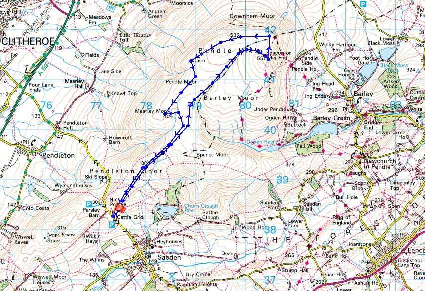
© Crown copyright. All rights reserved. License number PU 100034184.
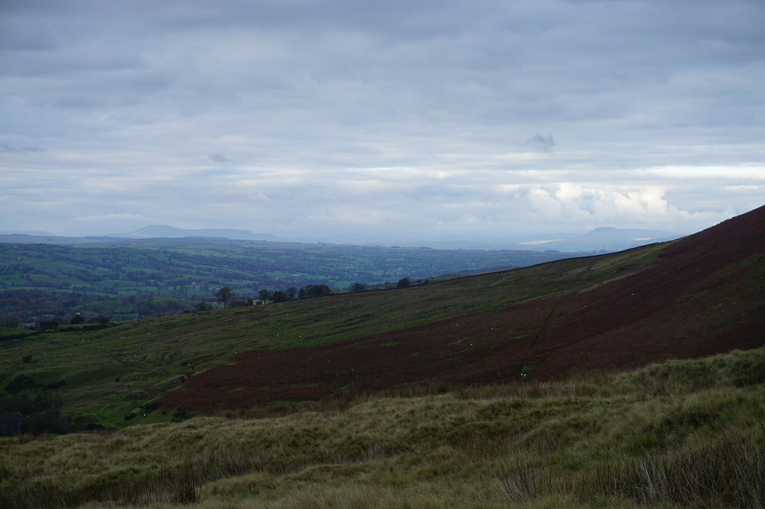
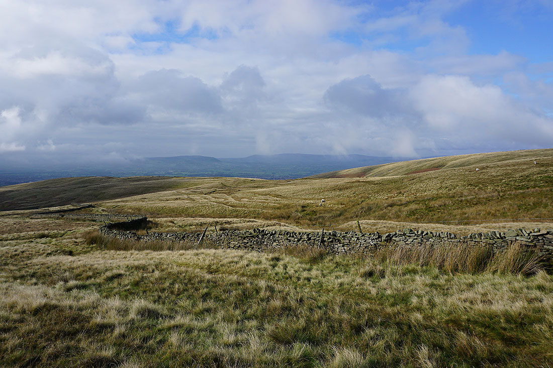
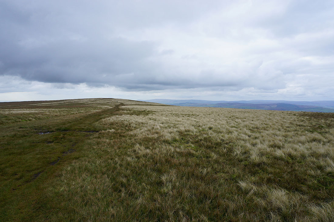
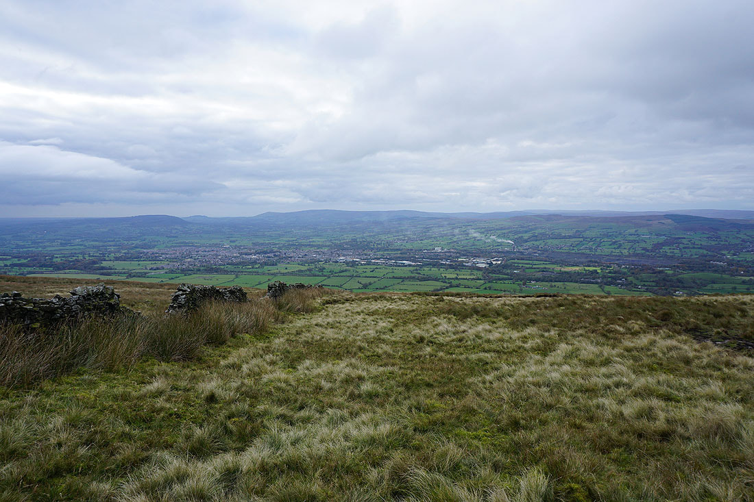
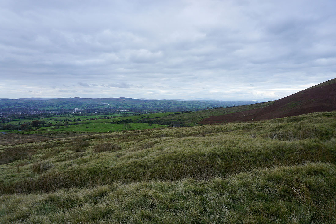
Looking across the Ribble Valley to the Forest of Bowland from Pendleton Moor
and back to the Nick of Pendle
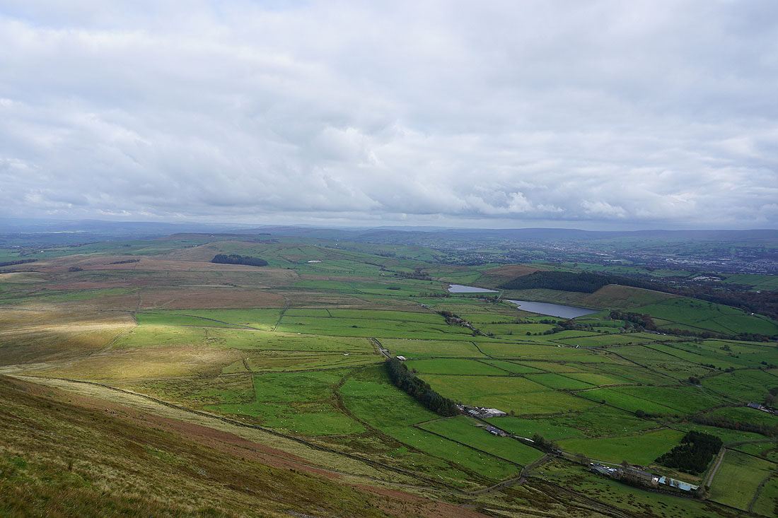
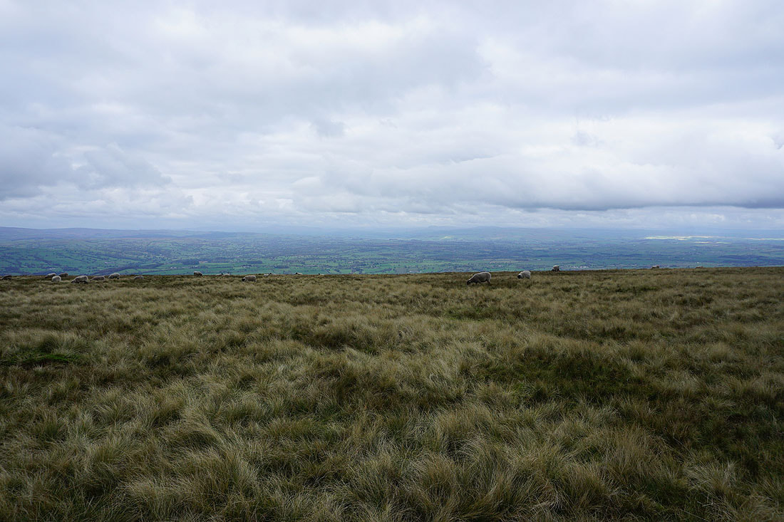
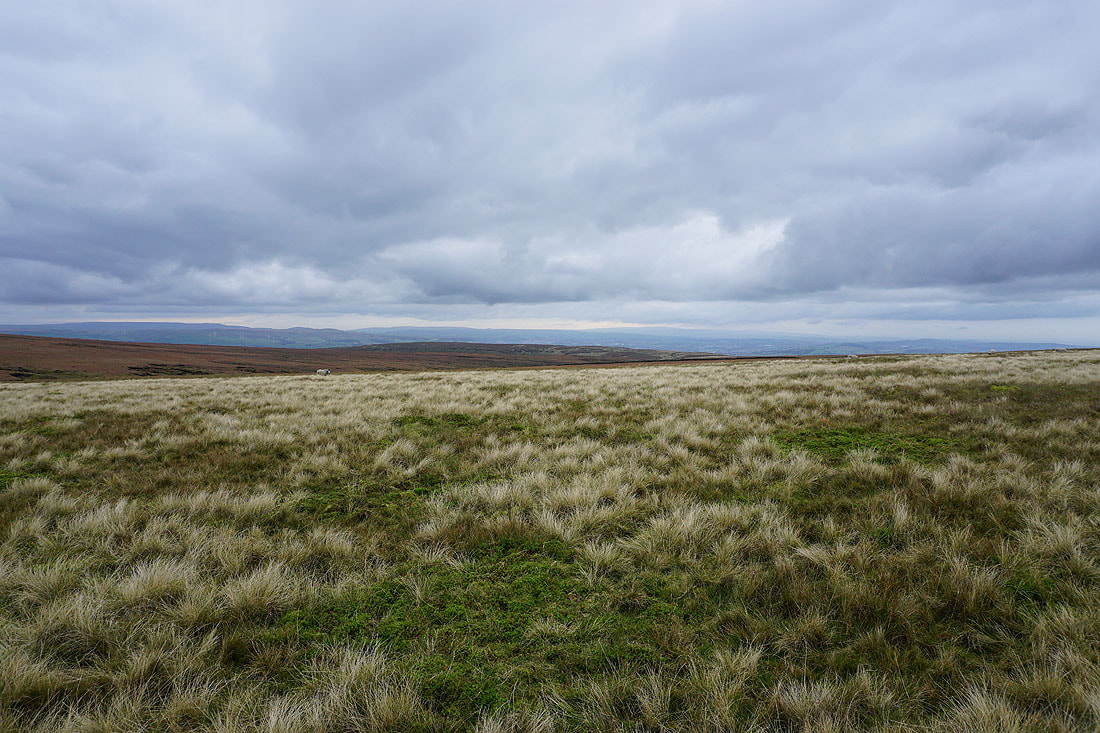
Sunshine on Mearley Moor
A visit to the top of Deerstones coincides with a brief spell of sunshine for enjoying the view across Pendleton Moor to the Forest of Bowland
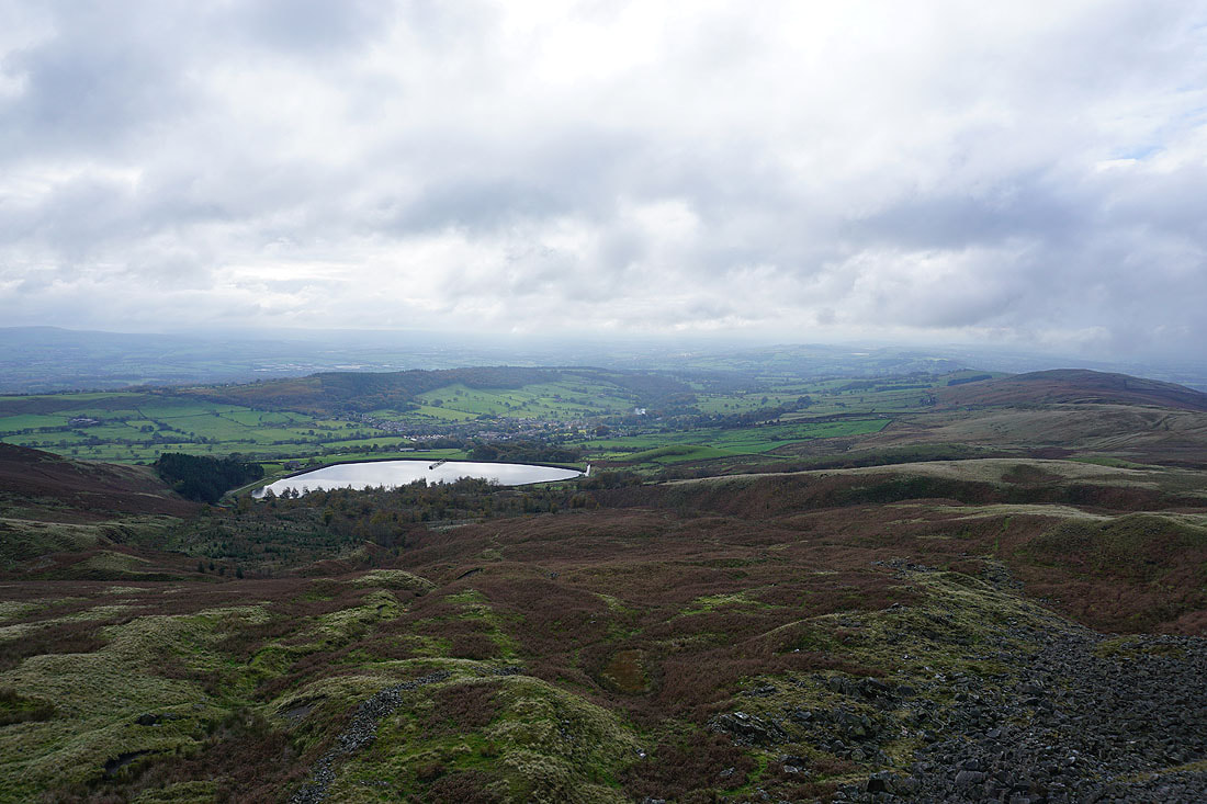
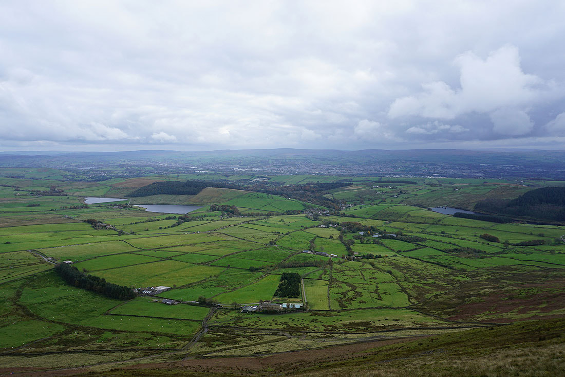
Churn Clough Reservoir and Sabden
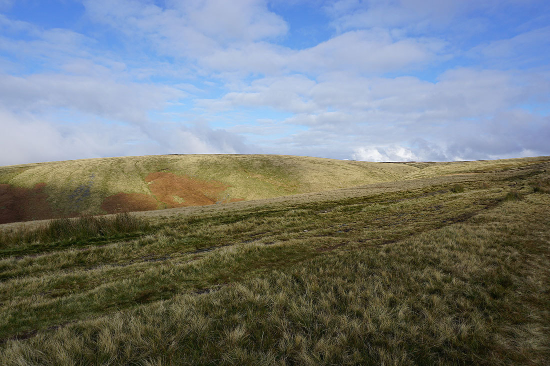
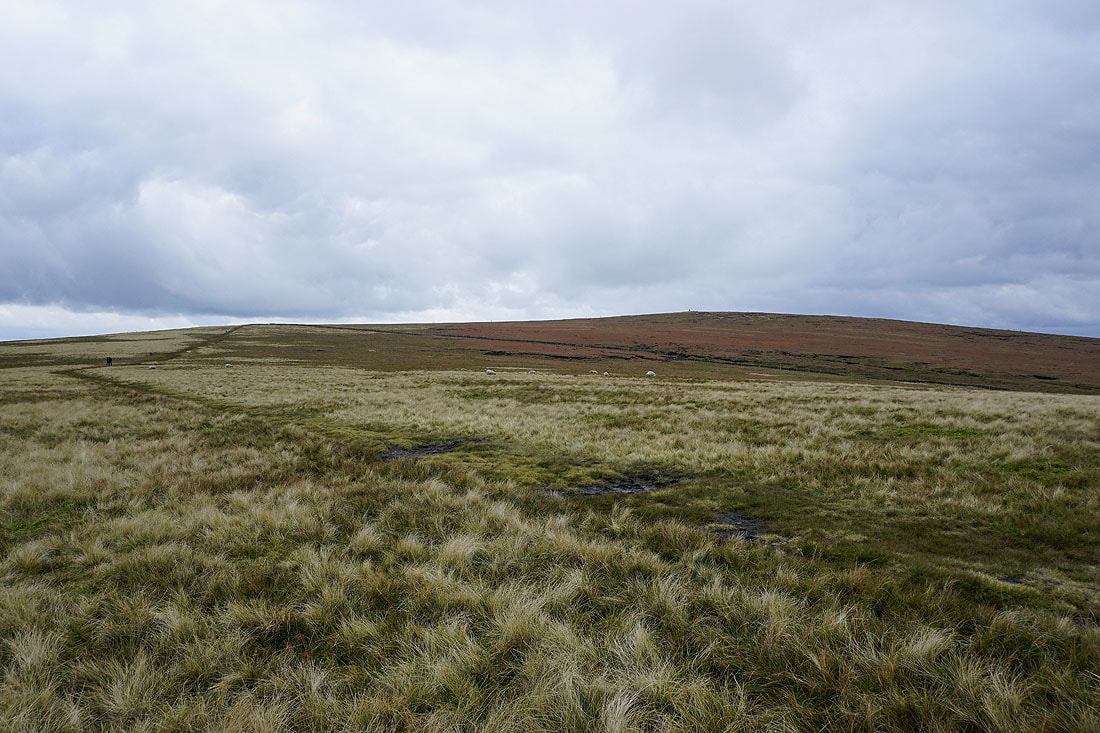
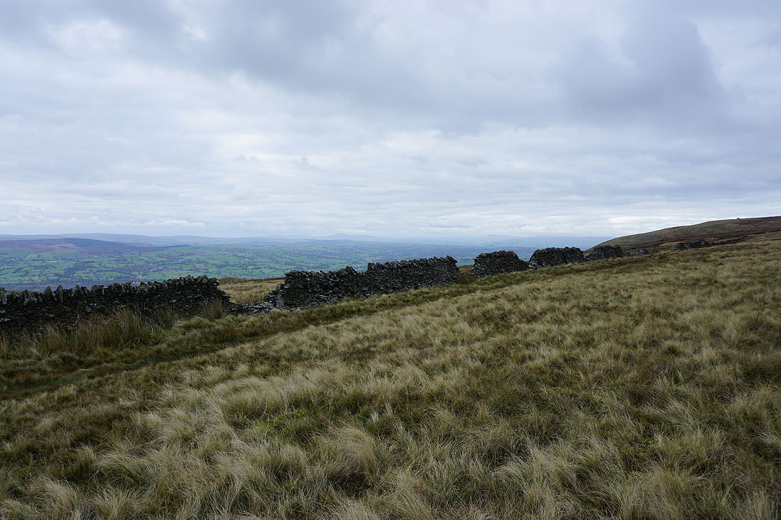
The Rough and Pendleton Moor
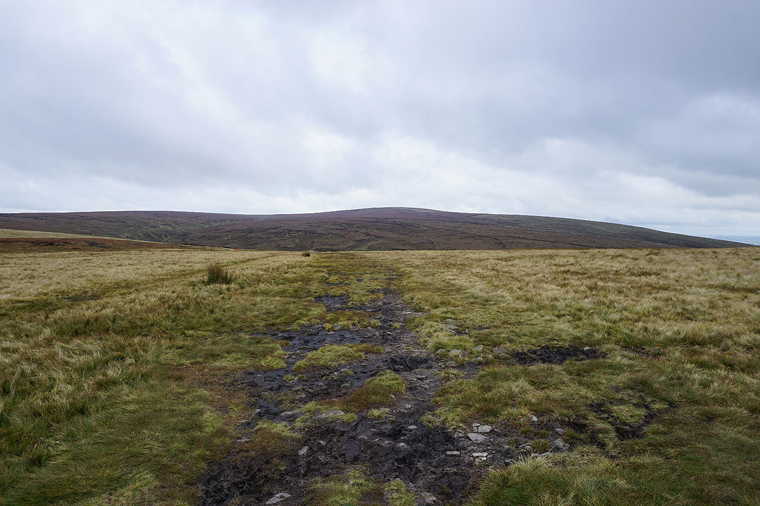
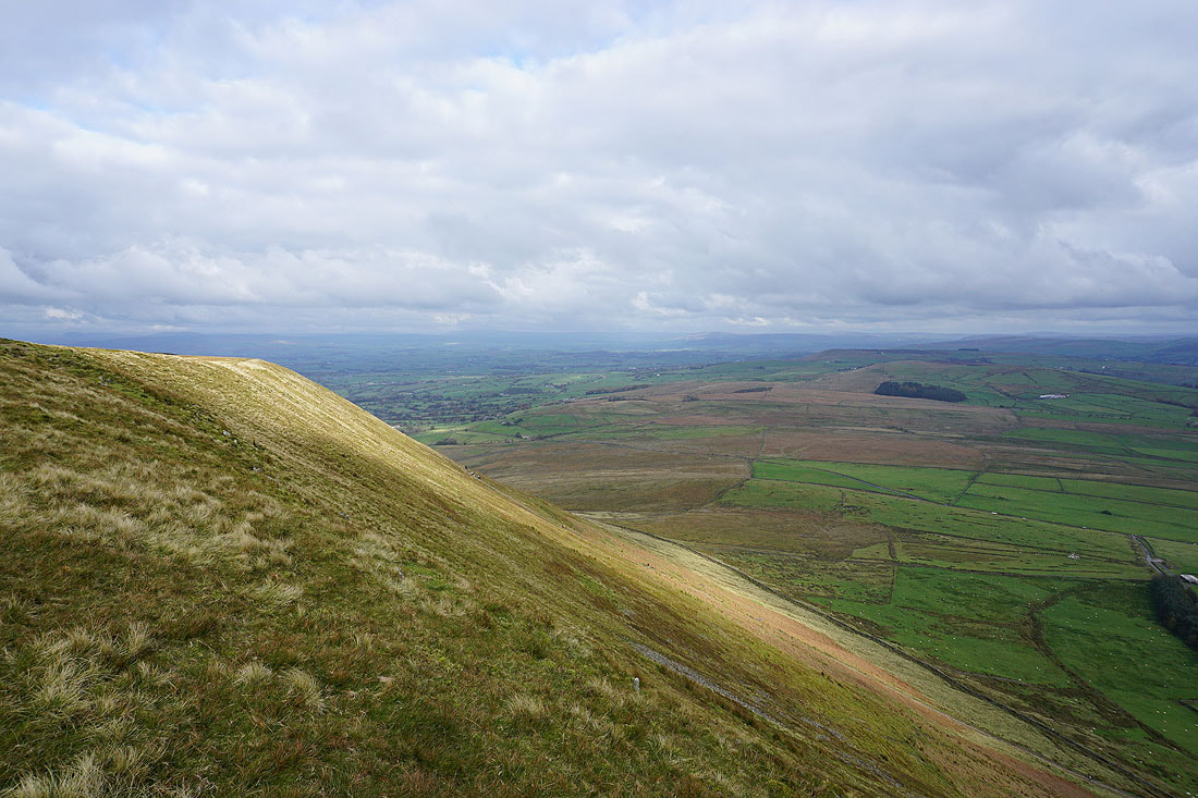
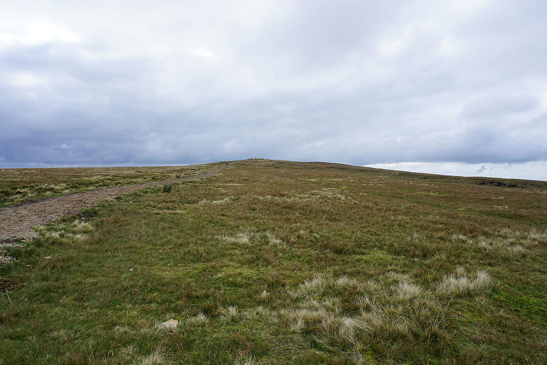
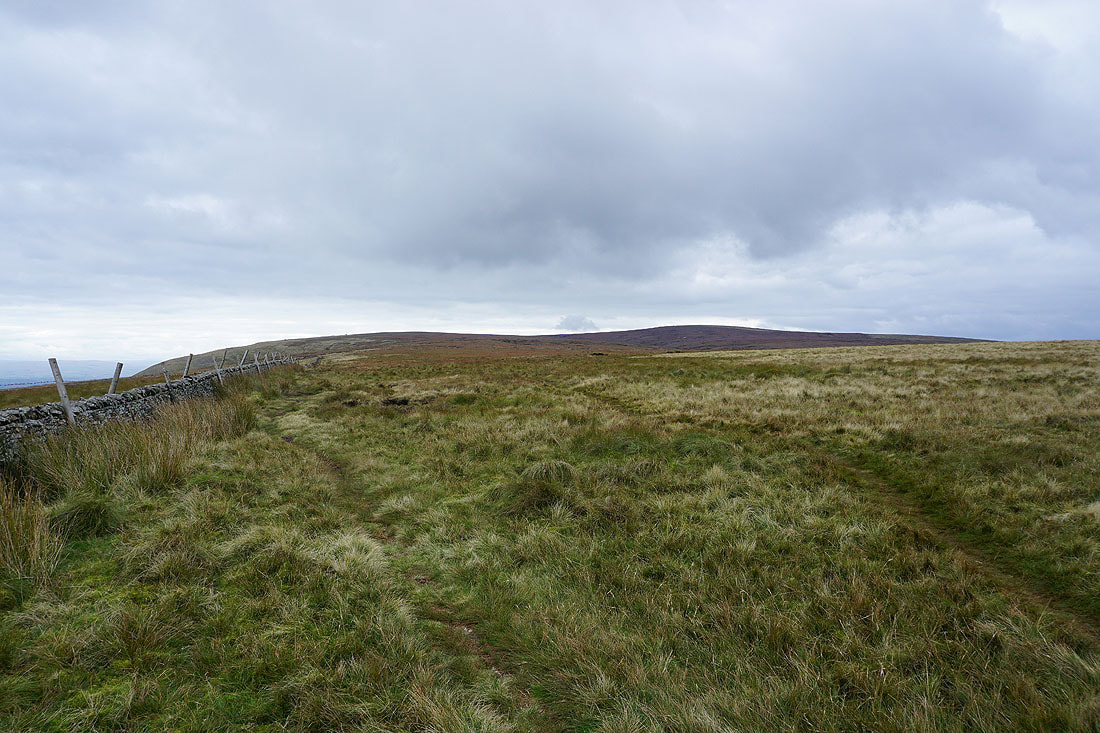
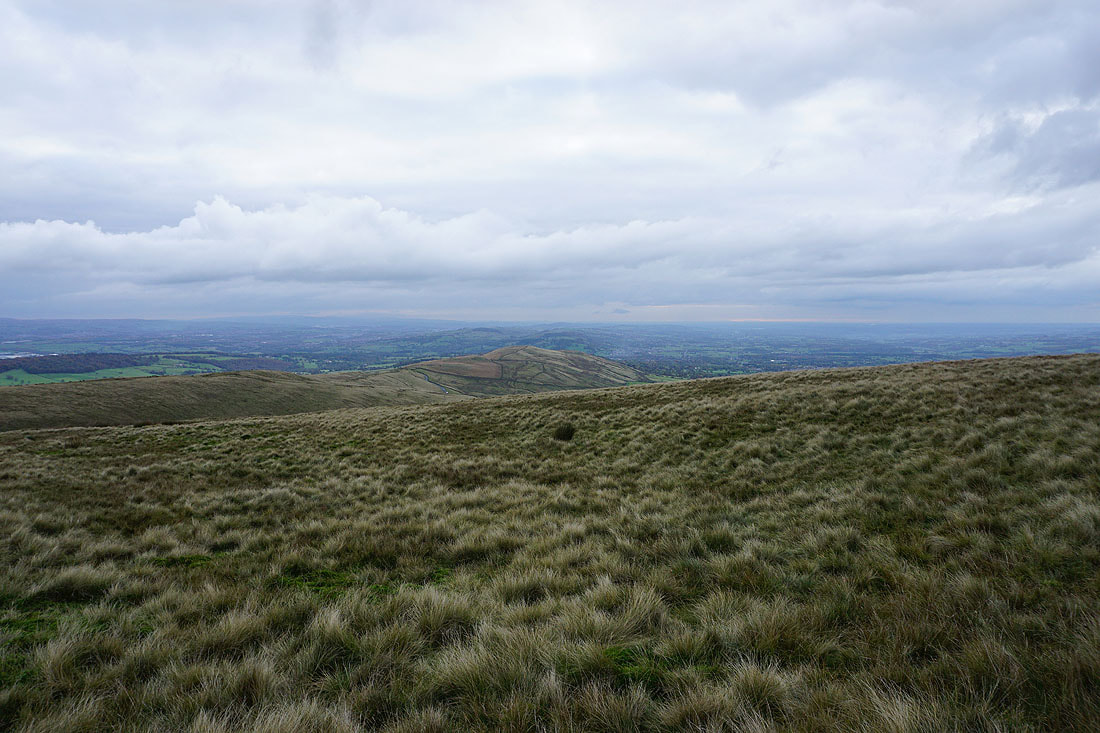
The bulk of Pendle Hill ahead as I head for Ogden Clough
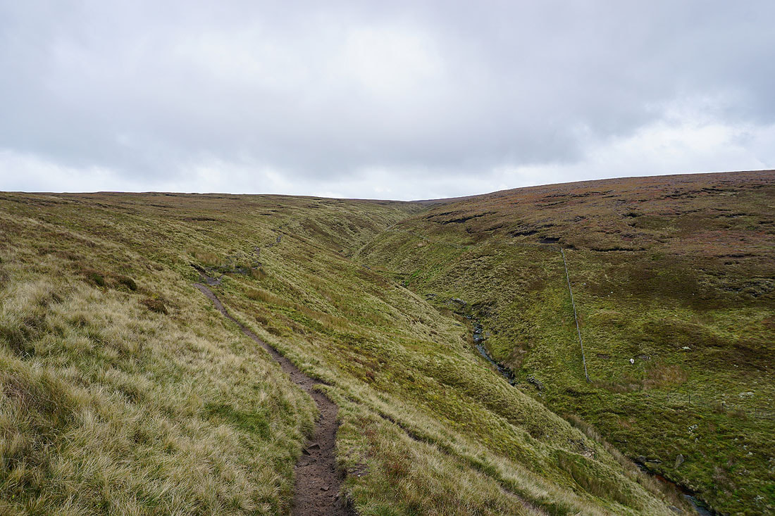
On the path up Ogden Clough
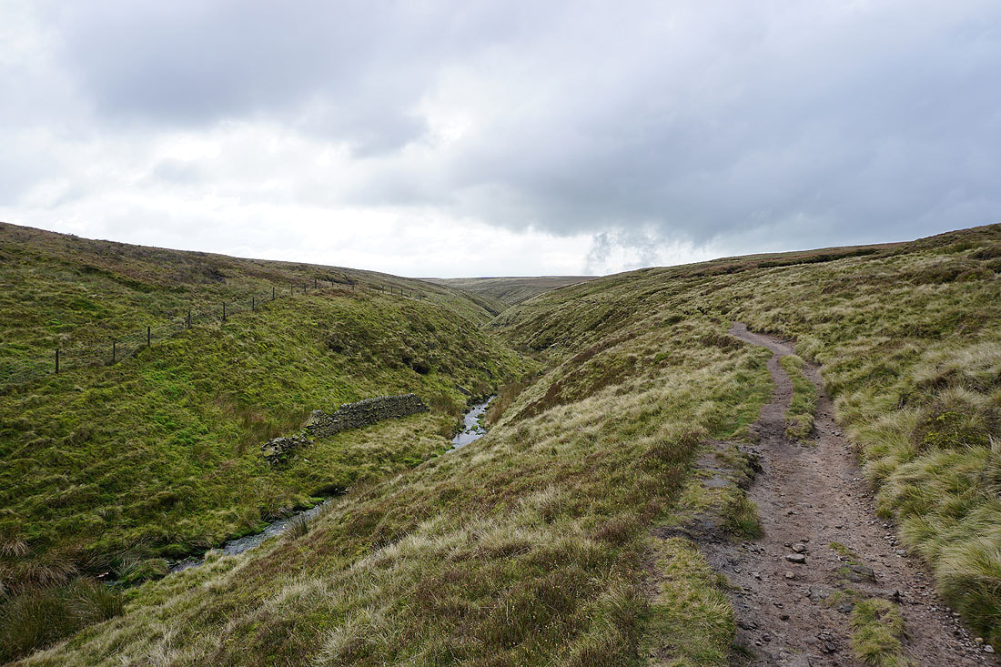
Looking back down Ogden Clough
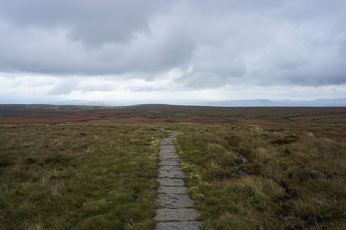
Mist obscures the Ribble Valley as I look back on the path to the summit
On the summit of Pendle Hill with the Black Moss Reservoirs and Barley below, and Boulsworth Hill in the distance
Rimington Moor, Weets Hill, Wheathead Height, Blacko Hill and the Black Moss Reservoirs
I can just about make out the moors around Wharfedale in the Yorkshire Dales in the distance
The West Pennine Moors to the south aren't easy to make out either
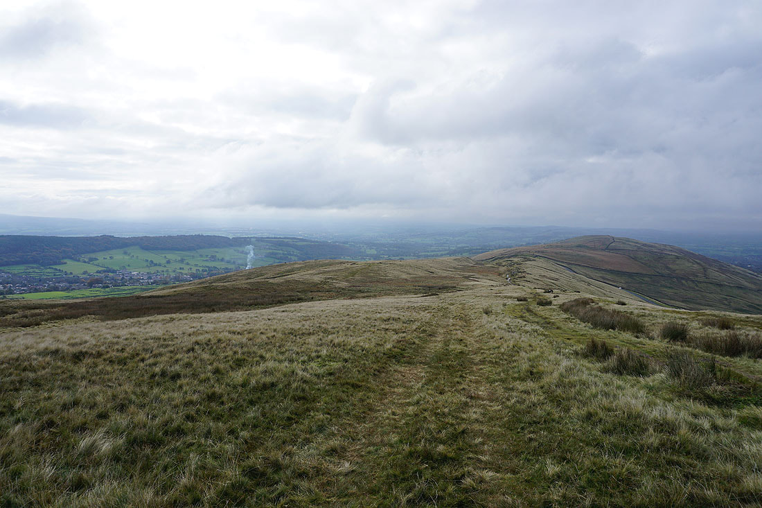
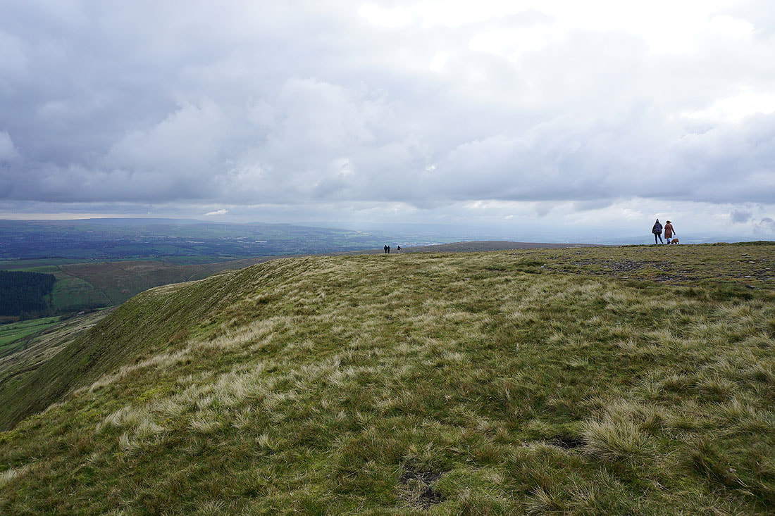
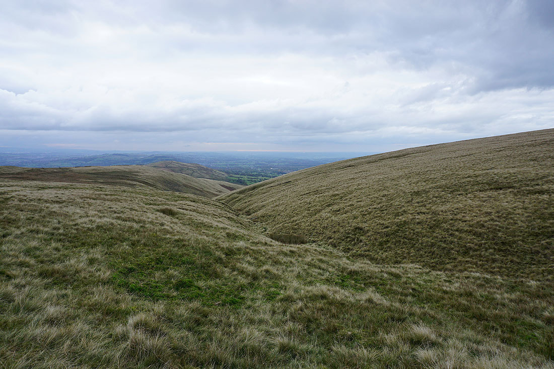
Looking back to the summit as I head north for Downham Moor
The Forest of Bowland in the distance beyond Downham Moor
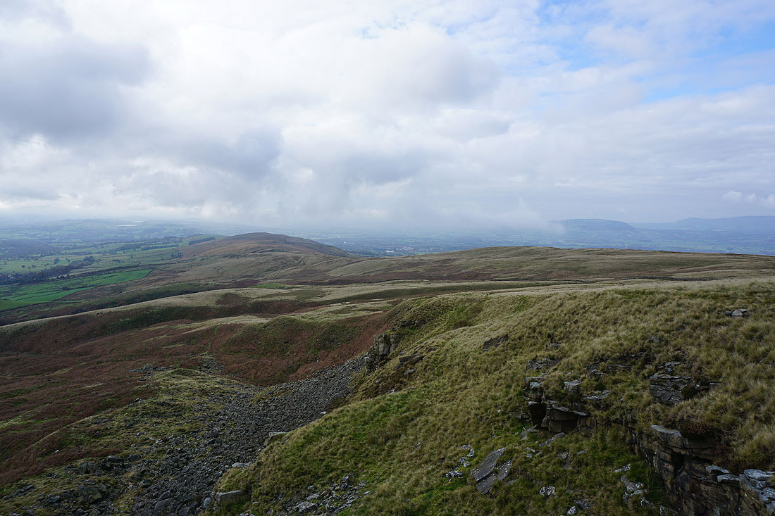
Looking east to Twiston Moor, Rimington Moor, Weets Hill and Wheathead Height from the northern end of Pendle Hill
and north to Ingleborough and Penyghent
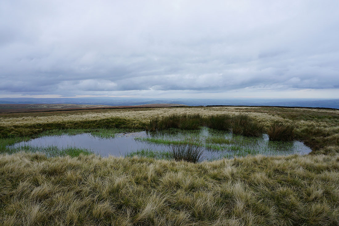
Heading west across Downham Moor
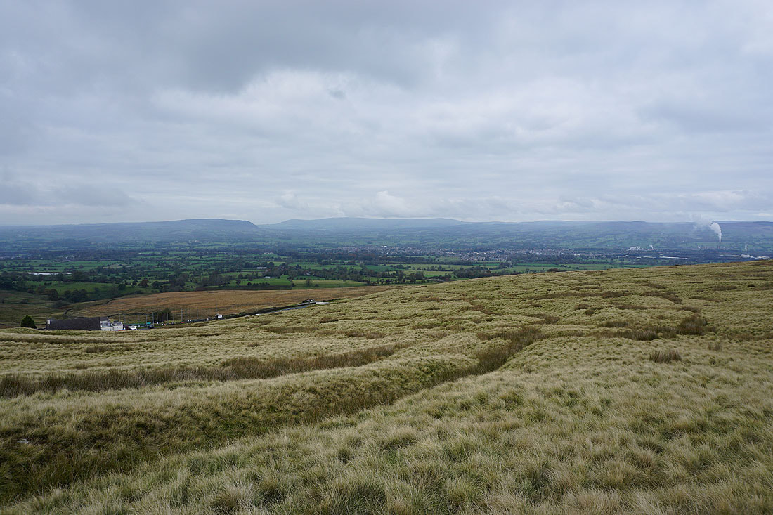
The visibility has improved enough so that I can now make out Winter Hill and the rest of the West Pennine Moors in the distance
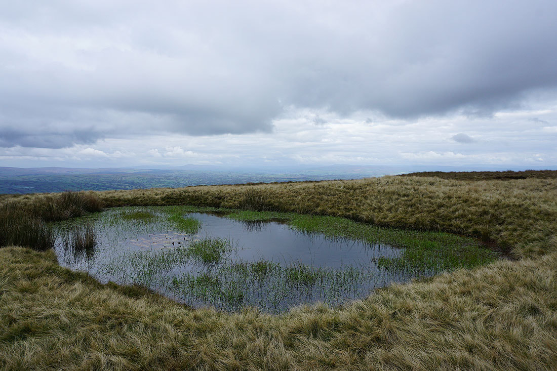
The summit from Downham Moor
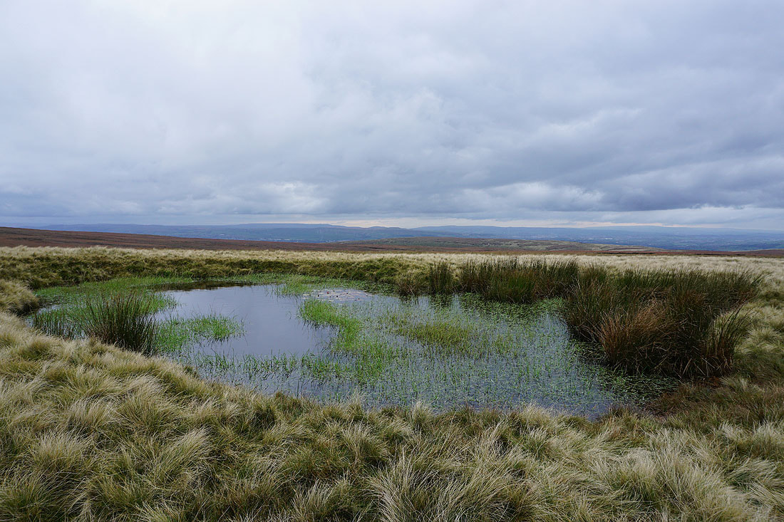
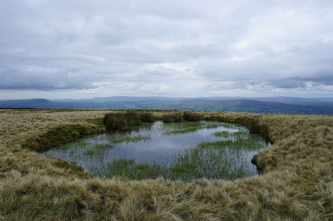
This pool on Downham Moor provides a good foreground for a photo. In this case, for Scout Moor and the West Pennine Moors in the distance.
The Forest of Bowland on the other side of the Ribble Valley
A distant Ingleborough is quite easy to make out at the moment
A distant Winter Hill on the left and the Ribble Valley on the right
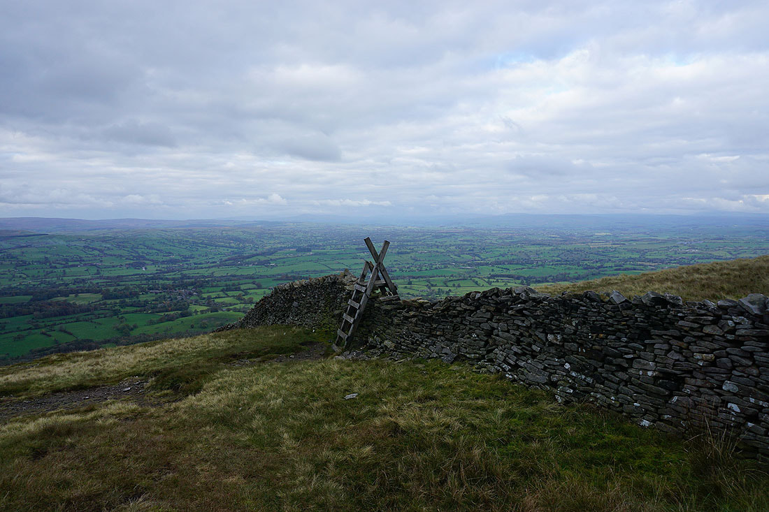
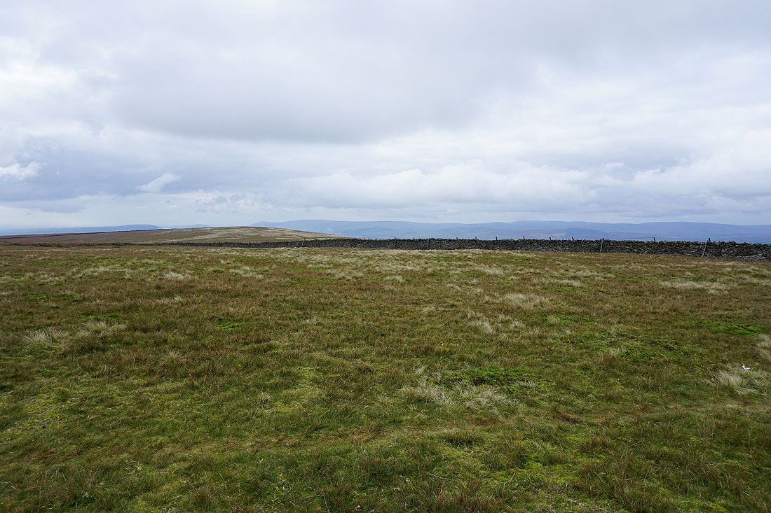
The stile over the wall onto Worston Moor has seen better days
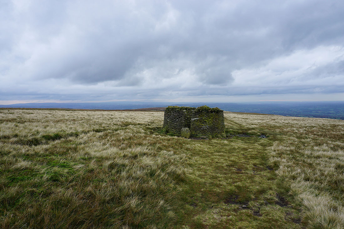
The circular shelter on Worston Moor
and the Scout Cairn, with Mearley Moor behind it
The Forest of Bowland on the other side of the Ribble Valley
The Ribble Valley from the top of Mearley Brook
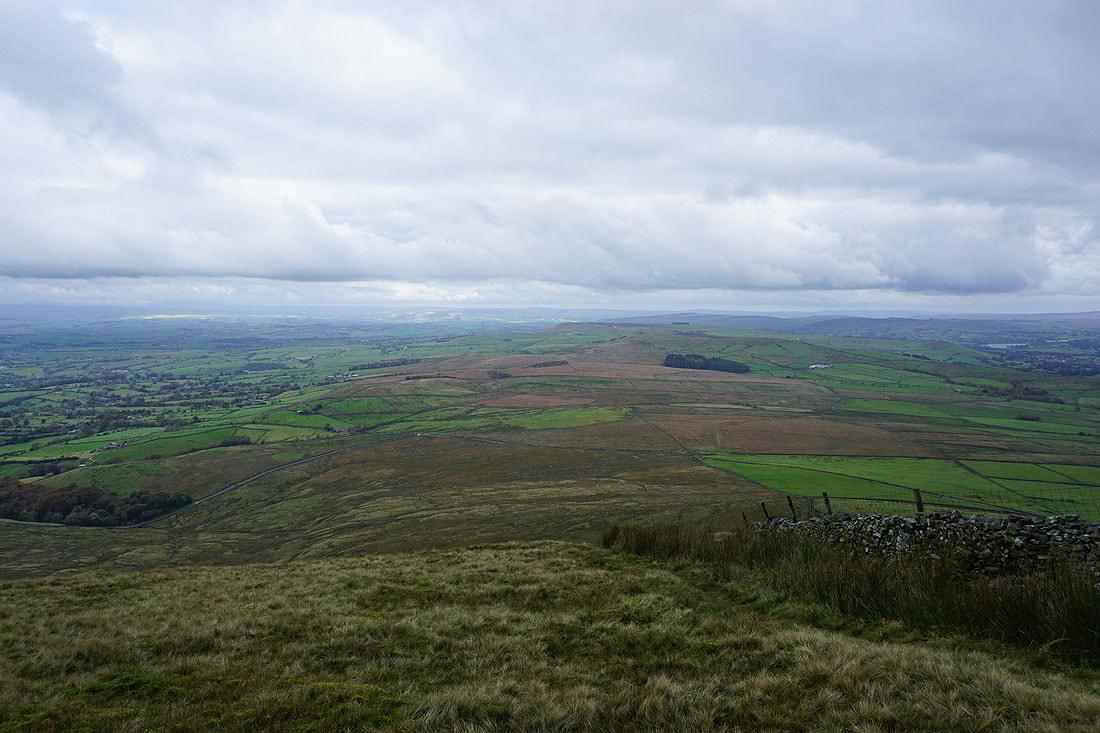
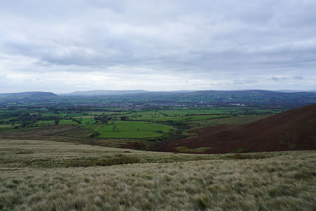
Clitheroe, the Ribble Valley and the Forest of Bowland from Mearley Moor
Looking up the Ribble Valley to a distant Ingleborough and Penyghent
The bulk of Pendle Hill from Mearley Moor
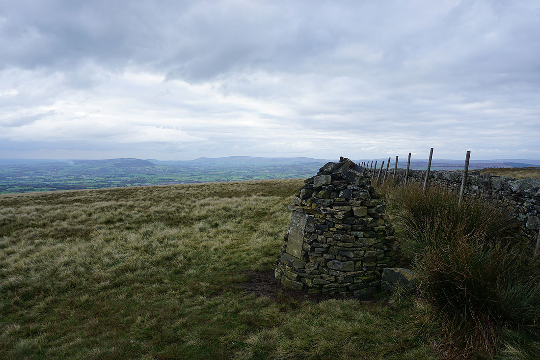
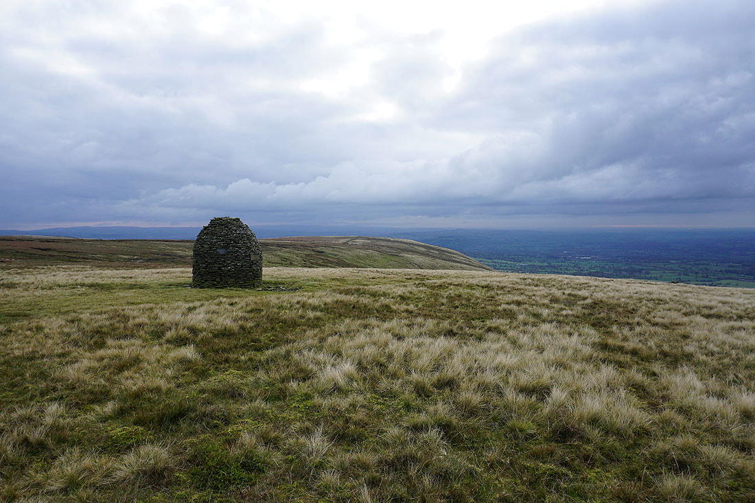
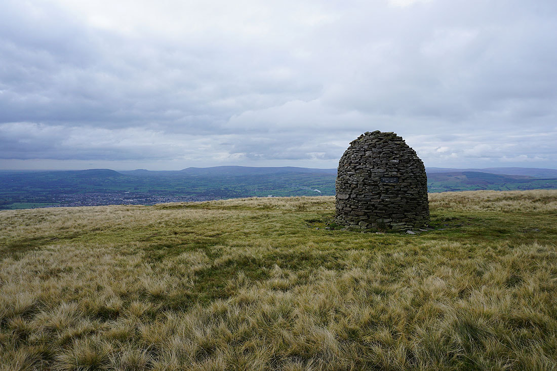
The Clayton-le-Moors Harriers cairn
The moorland of The Rough on the other side of The Nick of Pendle
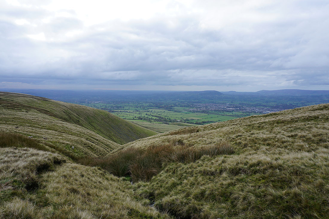
Crossing the top of Howcroft Brook as I head for Pendleton Moor
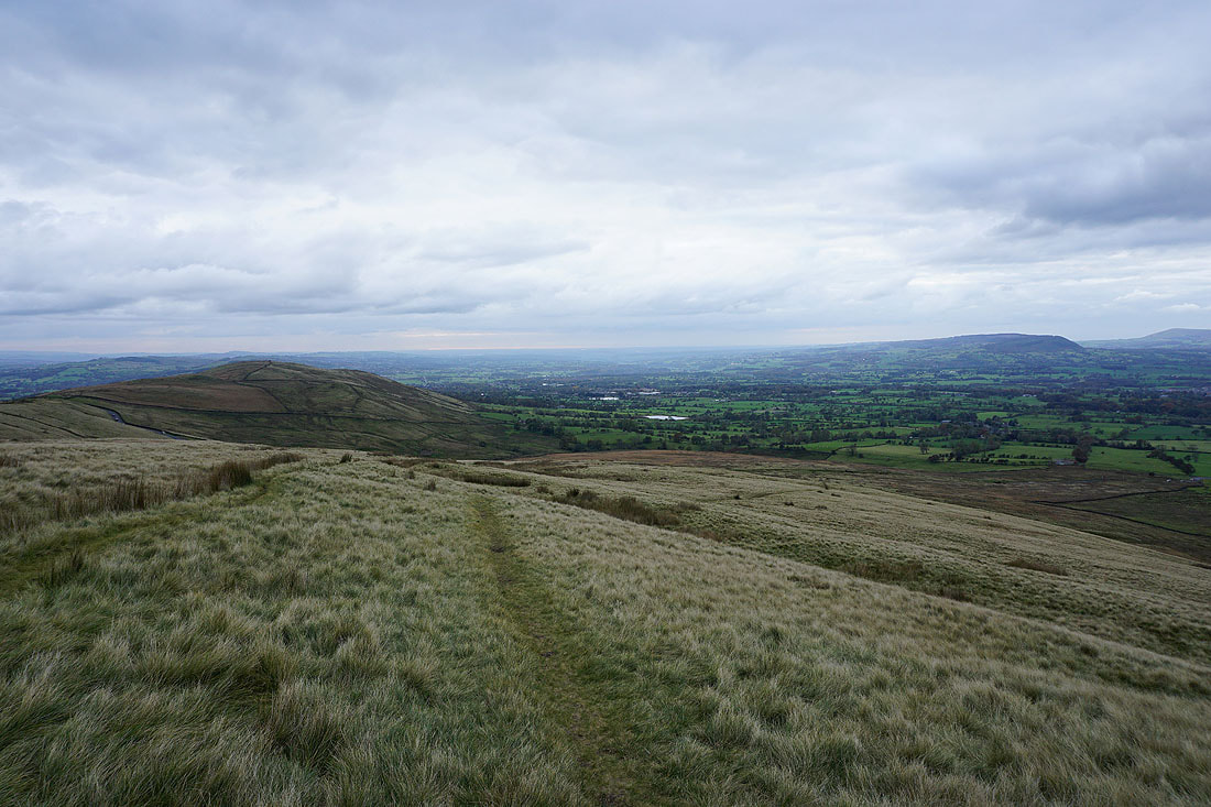
Clitheroe and the Ribble Valley as I head back down to the Nick of Pendle..
A final shot looking up the Ribble Valley to zoom in on Ingleborough and Penyghent..