17th September 2016 - Wolfhole Crag & Ward's Stone
Walk Details
Distance walked: 14.0 miles
Total ascent: 1914 ft
OS map used: OL41 - Forest of Bowland & Ribblesdale
Time taken: 8 hrs
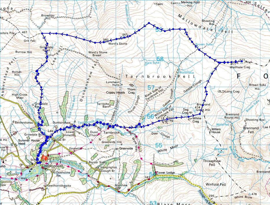
Route description: Stoops Bridge, Abbeystead-Lower Lee-Tarnbrook-Pea Carr Barn-Swine Crag-White Crag-Brennand Great Hill-Wolfhole Crag-Ward's Stone-Cabin Flat-Higher Lee-Lower Lee-Stoops Bridge, Abbeystead
I was quite disappointed last Saturday when I couldn't do my planned walk of Ward's Stone and Clougha Pike because access land was closed. Little did I know that just a week later I'd be glad that I hadn't done it. Today was a glorious day for being on the fells. A perfect early autumn day with lots of warm sunshine, a gentle breeze and great visibility for taking in the fantastic all round views that can be enjoyed from these fells. My planned walk of Ward's Stone and Clougha Pike from last weekend became something a bit bigger and more challenging, Wolfhole Crag and Ward's Stone. The moorland walking to these summits is no walk in the park and depending on just how wet the weather has been recently you'll find the going difficult or arduous. Today was difficult but I still wouldn't attempt this route in anything other than very good weather. Having trekking poles really helps in this sort of terrain. Fortunately shooters tracks mean that a quick pace can be set some of the time. It was memorable day and I found it quite difficult to get myself to move on from the summits and get the rest of the walk done. The group of walkers that I met up there certainly picked it right. We passed going in opposite directions just east of Ward's Stone and their number exceeded the combined total of everyone I've ever seen up there. I wasn't that surprised to bump into someone given the number of cars that were parked at Stoops Bridge.
From the parking area at Stoops Bridge in Abbeystead I started by taking the footpath that heads north across fields by the Tarnbrook Wyre to the hamlet of Lower Lee. I then walked along the road by the Tarnbrook Wyre to its end at the hamlet of Tarnbrook. A gate let me onto a track, access land and briefly onto the trail of the Wyre Way. This was soon left though as the track continues east, and when it started to head uphill I left it to cross a footbridge over the Tarnbrook Wyre and enter access land at Pea Carr Barn. A convenient quadbike track was then followed uphill past Swine and White Crags to the summit of Brennand Great Hill. The first of the moorland trudges came next. I kept to the west of the wall/fence north to the junction to the west of Wolfhole Crag. I didn't have that far to go then to reach the trig point on the summit of Wolfhole Crag. A long and much needed break for lunch was taken here. Now for the trudge west across to Ward's Stone. I kept to the south of the wall/fence and the worst bit I encountered was just to the east of Ward's Stone itself. I spent quite a bit of time on the summit but when I did move on I followed the path west across Cabin Flat to reach the shooters track across the moor. This then took me south, down into Wyresdale to the road of Rakehouse Brow. A walk down the road brought me back to Lower Lee and from there I retraced my steps back to Stoops Bridge.
Total ascent: 1914 ft
OS map used: OL41 - Forest of Bowland & Ribblesdale
Time taken: 8 hrs
Route description: Stoops Bridge, Abbeystead-Lower Lee-Tarnbrook-Pea Carr Barn-Swine Crag-White Crag-Brennand Great Hill-Wolfhole Crag-Ward's Stone-Cabin Flat-Higher Lee-Lower Lee-Stoops Bridge, Abbeystead
I was quite disappointed last Saturday when I couldn't do my planned walk of Ward's Stone and Clougha Pike because access land was closed. Little did I know that just a week later I'd be glad that I hadn't done it. Today was a glorious day for being on the fells. A perfect early autumn day with lots of warm sunshine, a gentle breeze and great visibility for taking in the fantastic all round views that can be enjoyed from these fells. My planned walk of Ward's Stone and Clougha Pike from last weekend became something a bit bigger and more challenging, Wolfhole Crag and Ward's Stone. The moorland walking to these summits is no walk in the park and depending on just how wet the weather has been recently you'll find the going difficult or arduous. Today was difficult but I still wouldn't attempt this route in anything other than very good weather. Having trekking poles really helps in this sort of terrain. Fortunately shooters tracks mean that a quick pace can be set some of the time. It was memorable day and I found it quite difficult to get myself to move on from the summits and get the rest of the walk done. The group of walkers that I met up there certainly picked it right. We passed going in opposite directions just east of Ward's Stone and their number exceeded the combined total of everyone I've ever seen up there. I wasn't that surprised to bump into someone given the number of cars that were parked at Stoops Bridge.
From the parking area at Stoops Bridge in Abbeystead I started by taking the footpath that heads north across fields by the Tarnbrook Wyre to the hamlet of Lower Lee. I then walked along the road by the Tarnbrook Wyre to its end at the hamlet of Tarnbrook. A gate let me onto a track, access land and briefly onto the trail of the Wyre Way. This was soon left though as the track continues east, and when it started to head uphill I left it to cross a footbridge over the Tarnbrook Wyre and enter access land at Pea Carr Barn. A convenient quadbike track was then followed uphill past Swine and White Crags to the summit of Brennand Great Hill. The first of the moorland trudges came next. I kept to the west of the wall/fence north to the junction to the west of Wolfhole Crag. I didn't have that far to go then to reach the trig point on the summit of Wolfhole Crag. A long and much needed break for lunch was taken here. Now for the trudge west across to Ward's Stone. I kept to the south of the wall/fence and the worst bit I encountered was just to the east of Ward's Stone itself. I spent quite a bit of time on the summit but when I did move on I followed the path west across Cabin Flat to reach the shooters track across the moor. This then took me south, down into Wyresdale to the road of Rakehouse Brow. A walk down the road brought me back to Lower Lee and from there I retraced my steps back to Stoops Bridge.
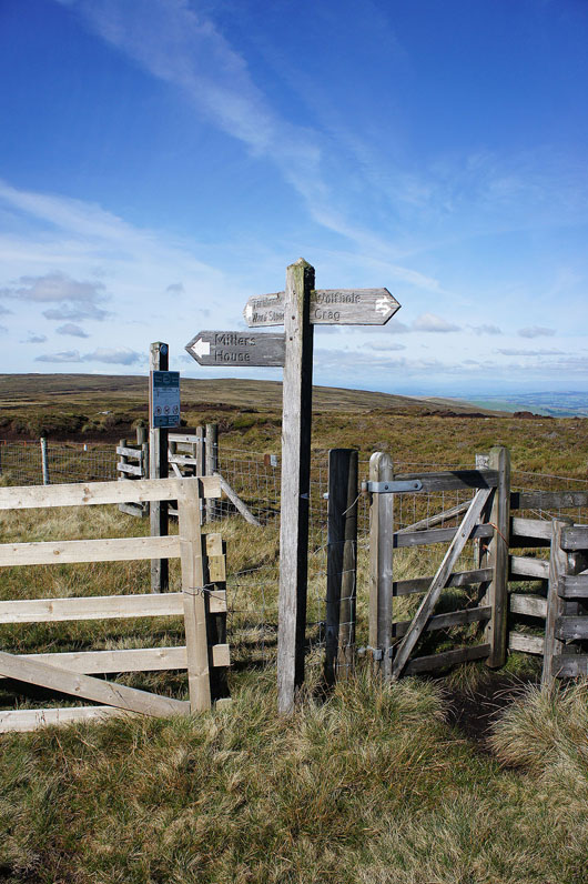
Route map
© Crown copyright. All rights reserved. License number PU 100034184.
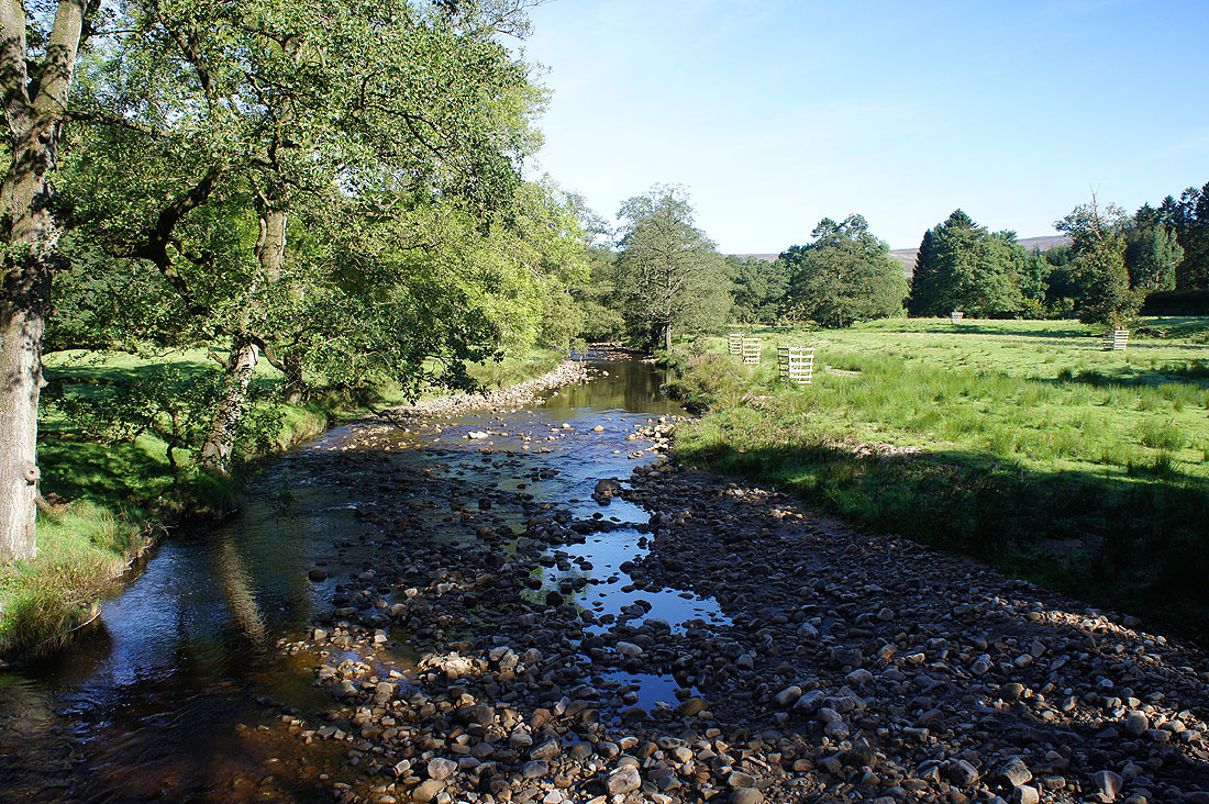
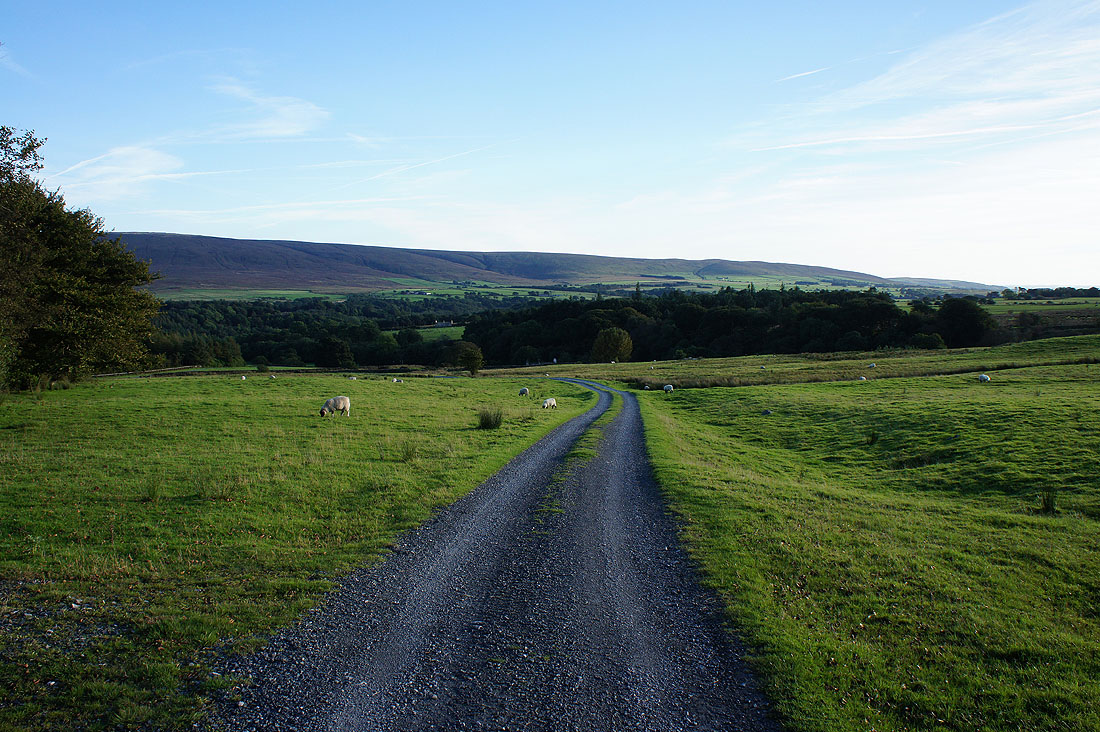
It's a beautiful morning as I look along the Tarnbrook Wyre at Stoops Bridge in Abbeystead
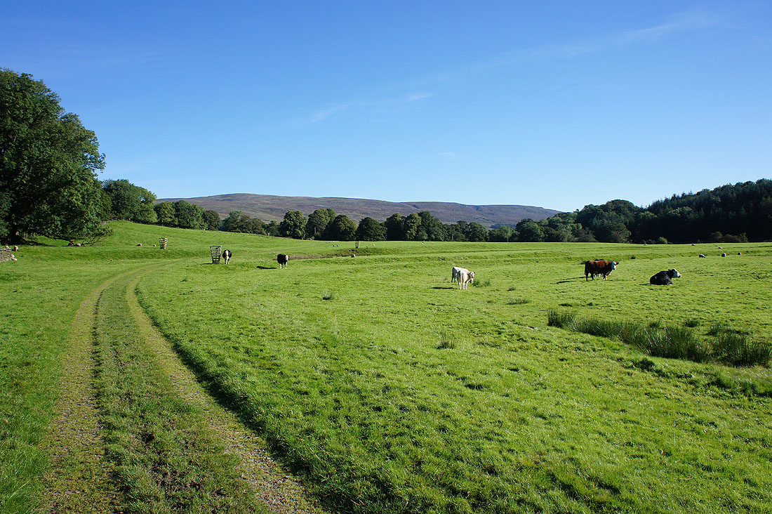
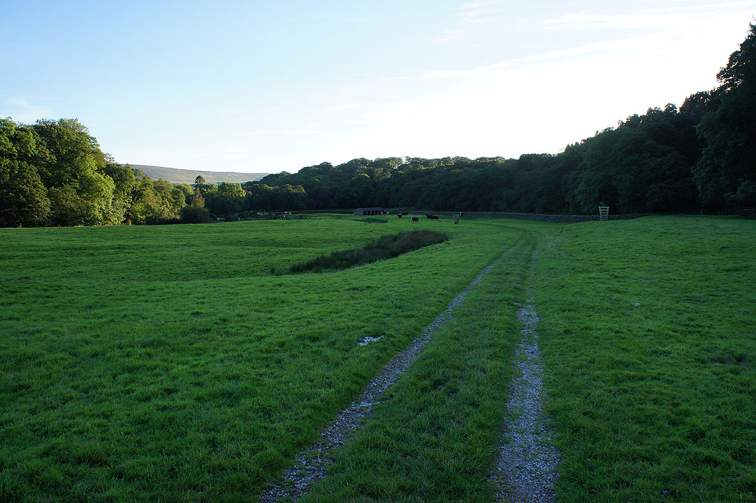
I start by taking a field path to the hamlet of Lower Lee. The slopes of Ward's Stone rise in the distance. Those cattle weren't too bothered by me walking past them on the way out, the same couldn't be said when I returned at the end of the afternoon.
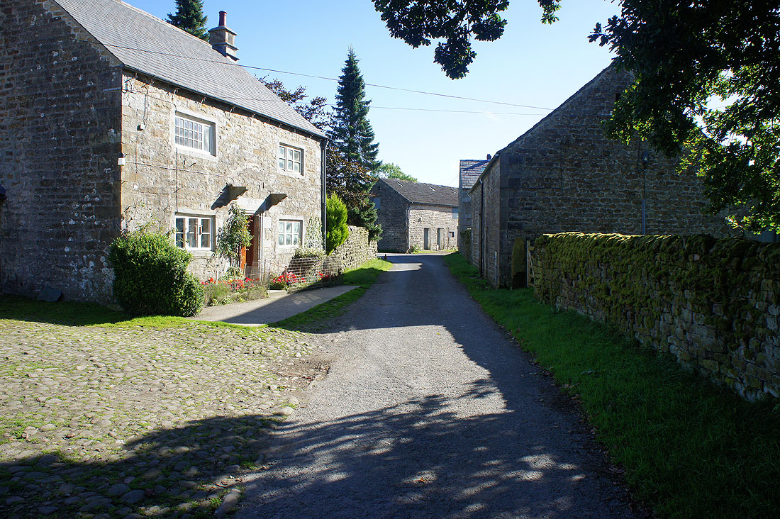
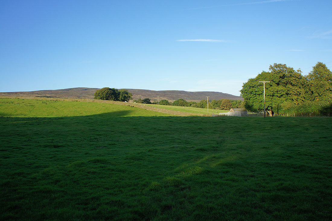
After walking along the road from Lower Lee I finally reach its end at the hamlet of Tarnbrook
As I take the trail of the Wyre Way at the road end the slopes of Ward's Stone rise to my left
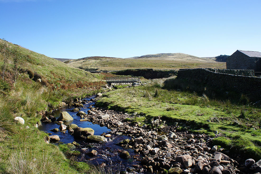
A change of plan. As I started the climb up the shooters track to the col between Ward's Stone and Wolfhole Crag I noticed a quadbike track snaking up the fellside towards Brennand Great Hill. It looked quite inviting and since it was such a nice day and it will probably be a while before I'm in this neck of the woods again, I thought I'd give it a go. Just ahead I'll cross the footbridge over the Tarnbrook Wyre and go through a gate onto access land next to Pea Carr Barn.
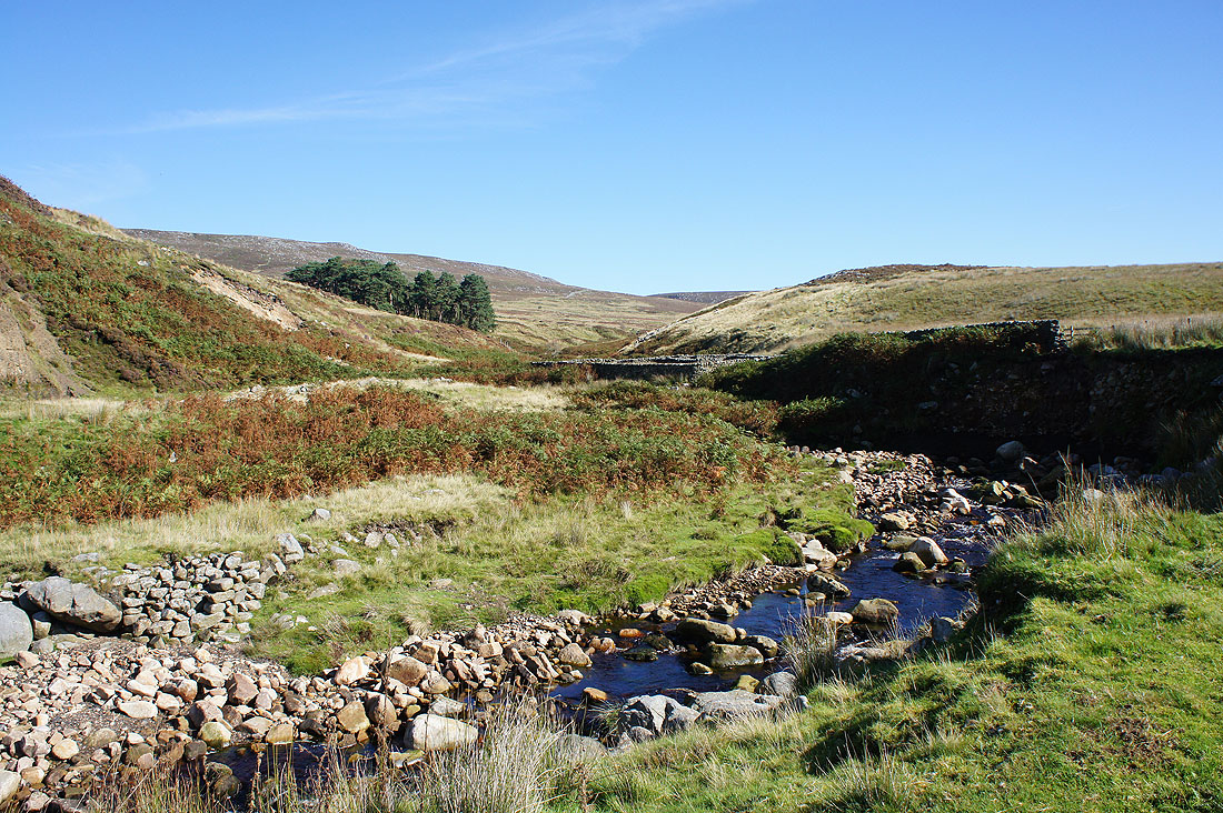
Gables Clough carries the Tarnbrook Wyre down from its source on Ward's Stone
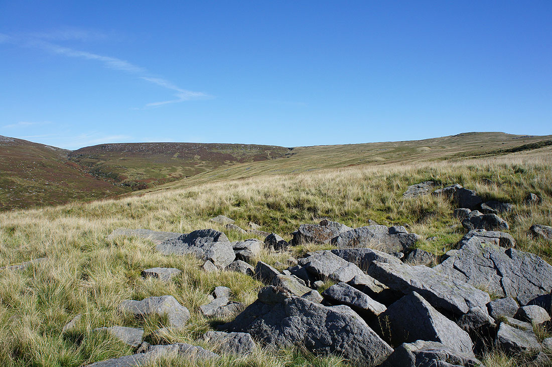
At Swine Crag, just a rash of boulders on the slopes of Brennand Great Hill
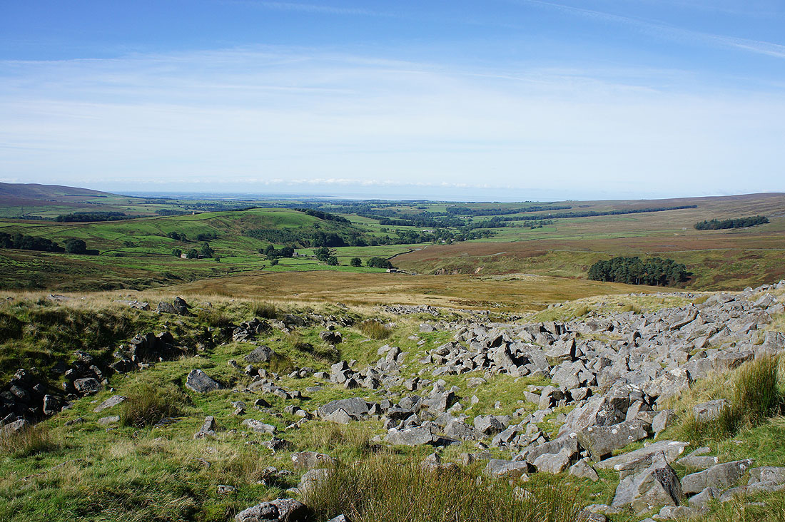
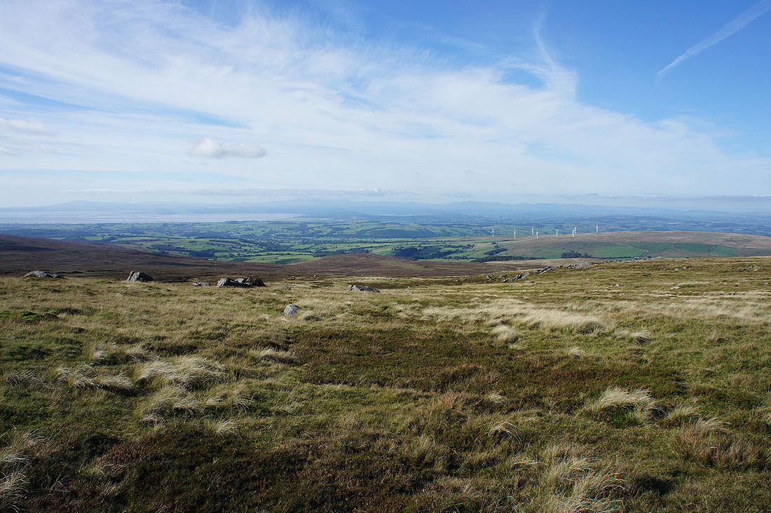
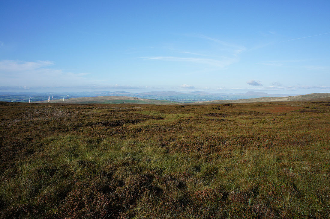
Looking down Wyresdale and out to the coast from Swine Crag
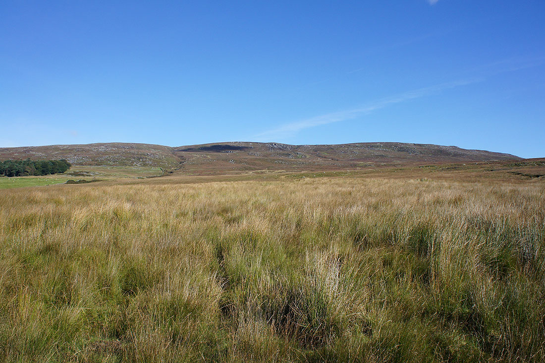
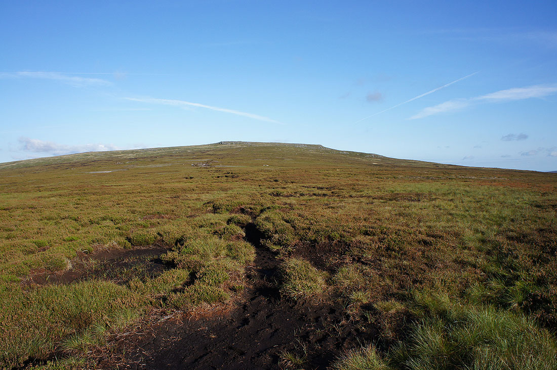
The top of Brennand Great Hill ahead. It's wet underfoot but I'm really enjoying this route up.
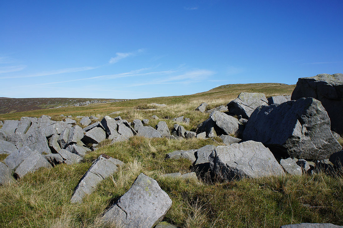
The jumble of boulders of Bowland grit that is White Crag. The rash of boulders on the hillside behind is Dog Crag.
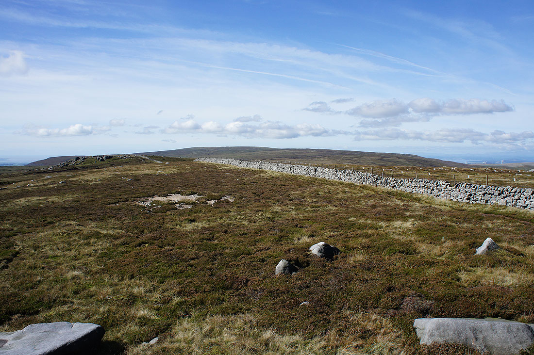
I finally reach the ridge wall just south of Brennand Great Hill
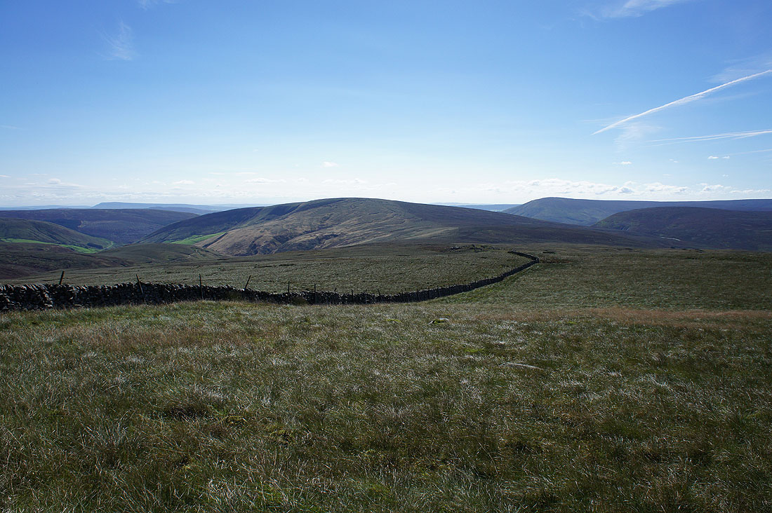
To the south lies the fell of Whins Brow, which I was on yesterday afternoon
Ward's Stone from the top of Brennand Great Hill
Brennandale, Whins Brow and a distant Pendle Hill
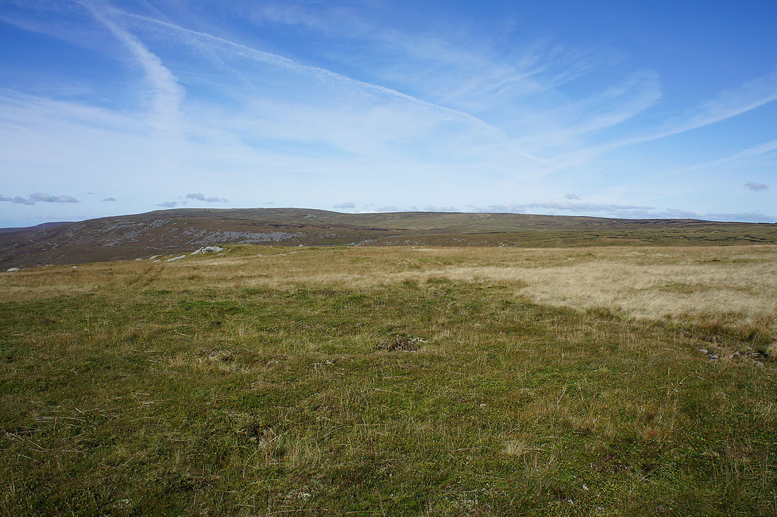
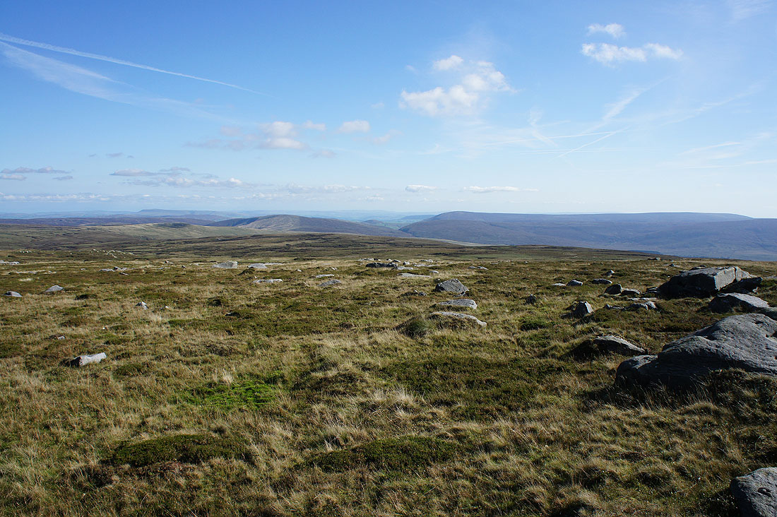
Wolfhole Crag to the northeast. That's my next destination and it took me the best part of an hour to get there.
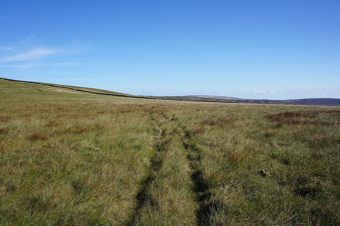
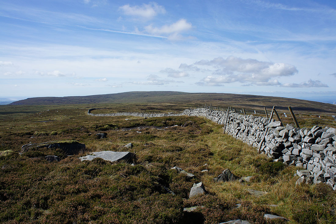
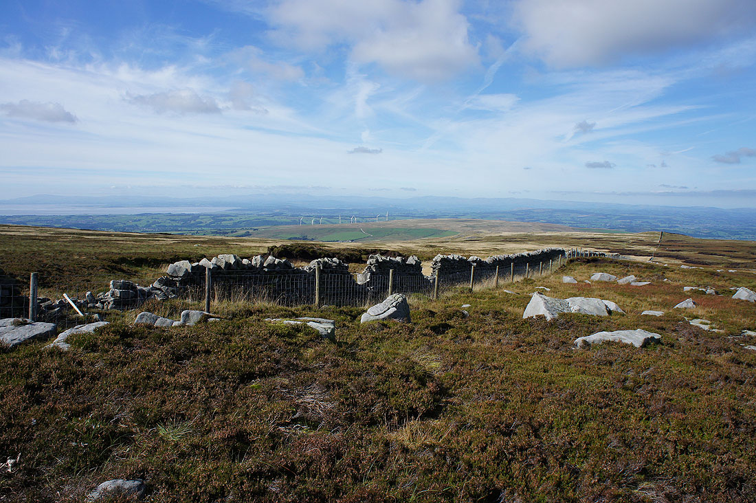
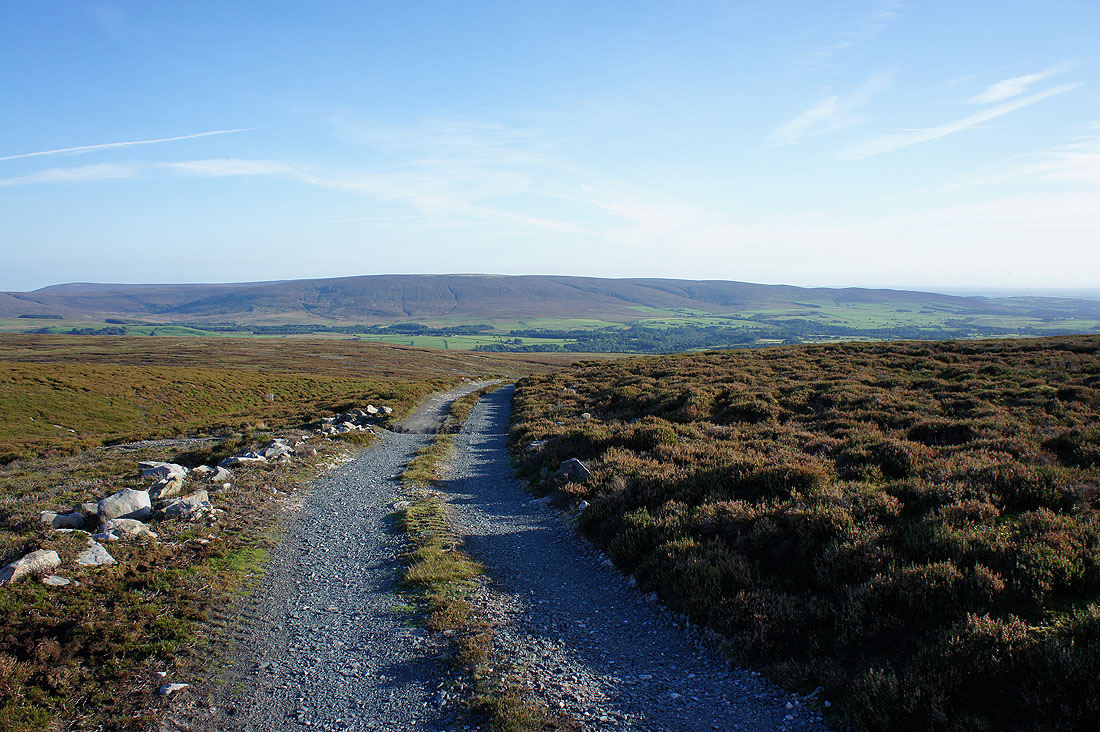
Relatively dry ground at last as I reach the fence junction to the west of Wolfhole Crag. Most of the ground between Brennand Great Hill and here was pretty boggy and there was a lot of weaving around to avoid the worst of it. For reference I kept to the western side of the wall/fence.
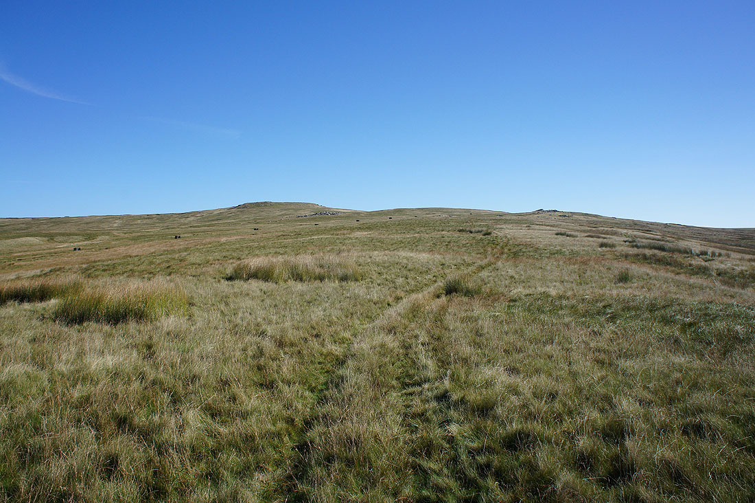
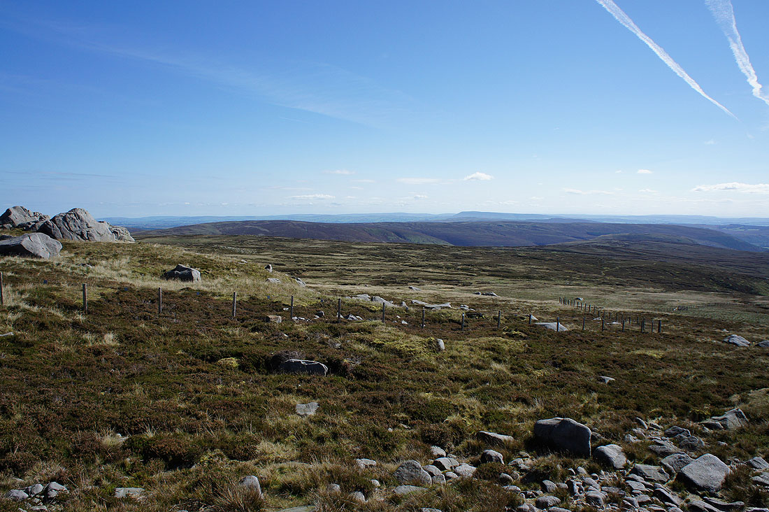
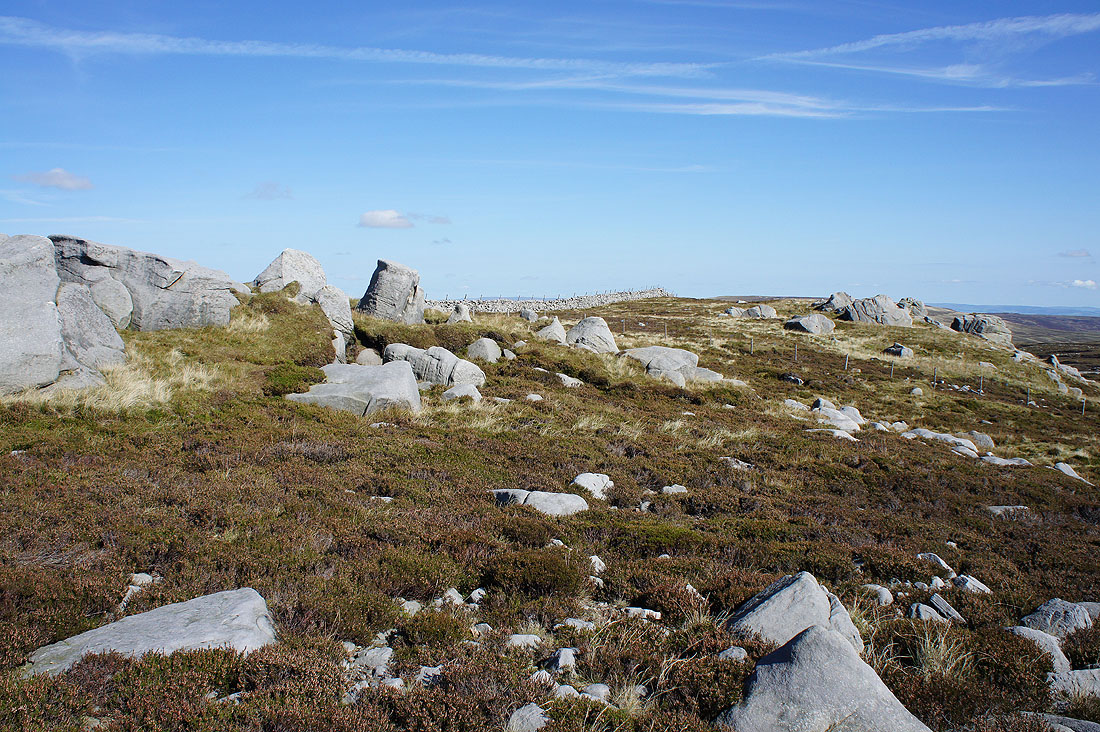
The trig point on Wolfhole Crag is in sight on the next rise. Three hours after setting off I'm more than ready for a break.
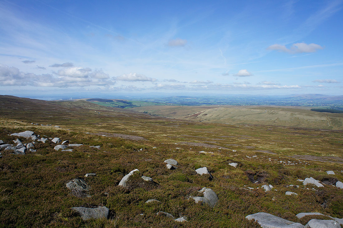
For the first time today I get to see Whernside, Ingleborough and Penyghent to the northeast in the Yorkshire Dales
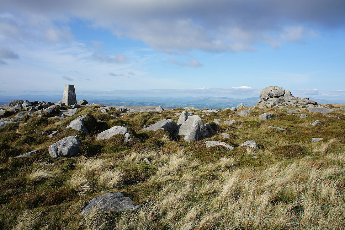
At the trig point on the summit of Wolfhole Crag
It's a beautiful day to up here, clear skies and warm sunshine with a cooling breeze and there's great visibility for taking in the fantastic all round views. Starting with looking east, there's the Baxton Fell to Beatrix Fell ridge with the South Pennines and Pendle Hill in the distance.
To the south, Beatrix Fell and Whins Brow with the West Pennine Moors way in the distance
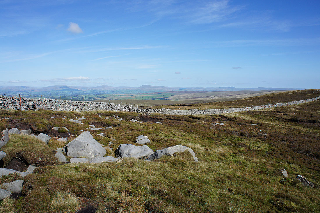
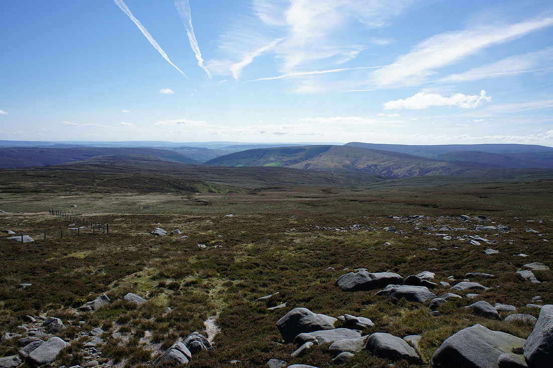
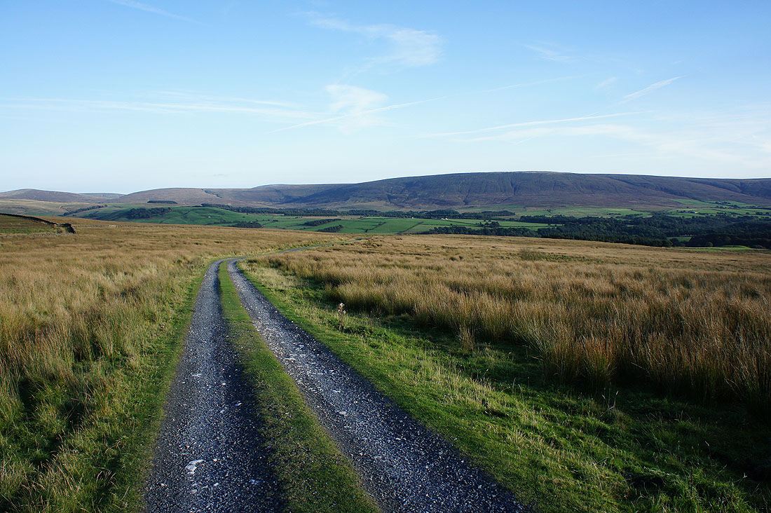
To the southwest, the Whins Brow to Brennand Great Hill ridge with Totridge, Fair Snape Fell and Hawthornthwaite Fell in the distance
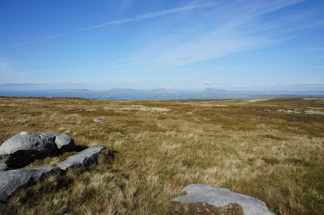
To the west, the Fylde coast to the left..
..of the broad swell of Ward's Stone
Looking over the summit wall to a long line of Lake District fells in the distance to the northwest. The River Roeburn has its source on the slopes below.
Middleton Fell, Great Coum, Whernside, Ingleborough and Penyghent in the Yorkshire Dales to the northeast
Finally looking east again to White Hill and Baxton Fell
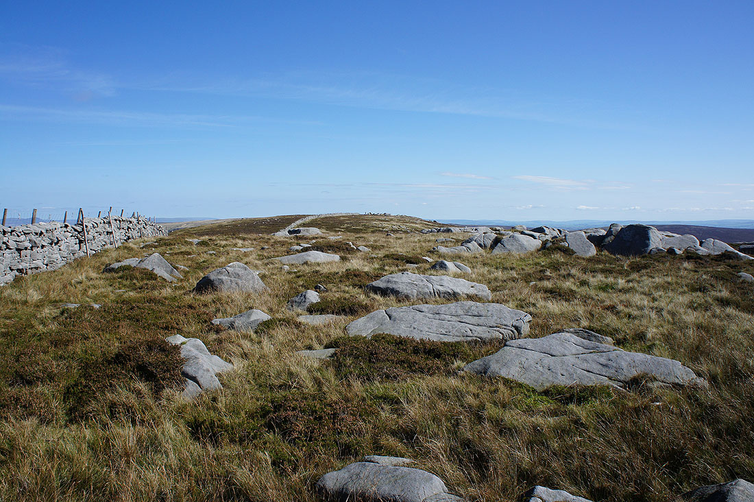
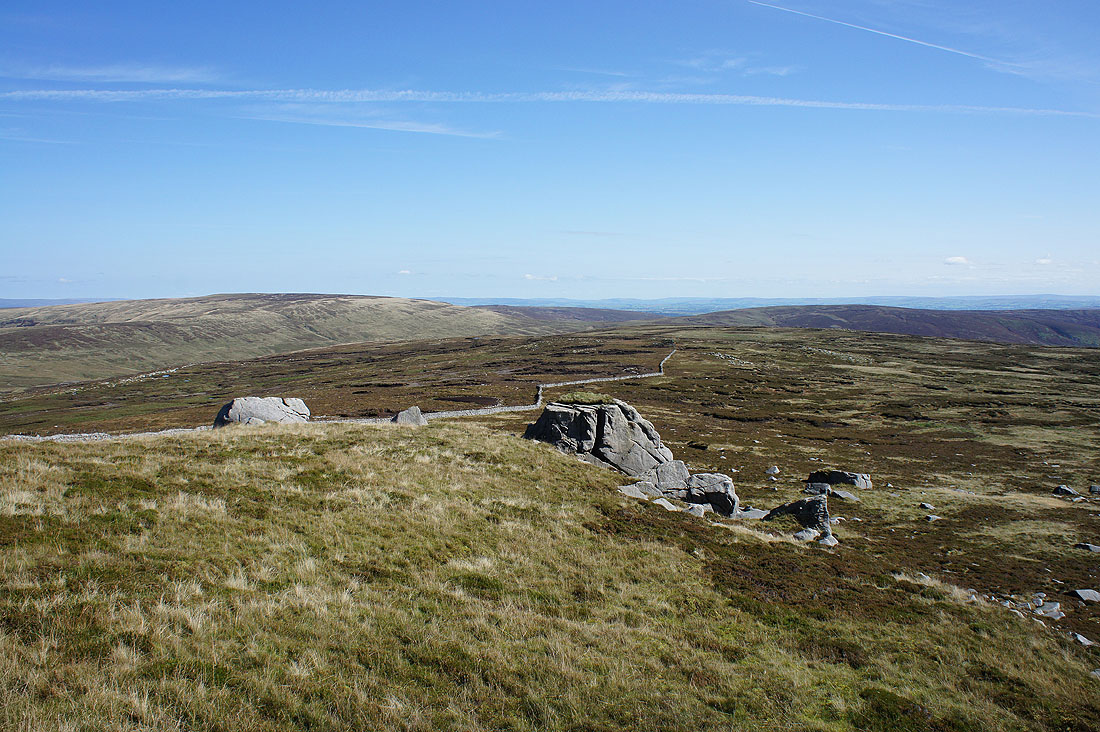
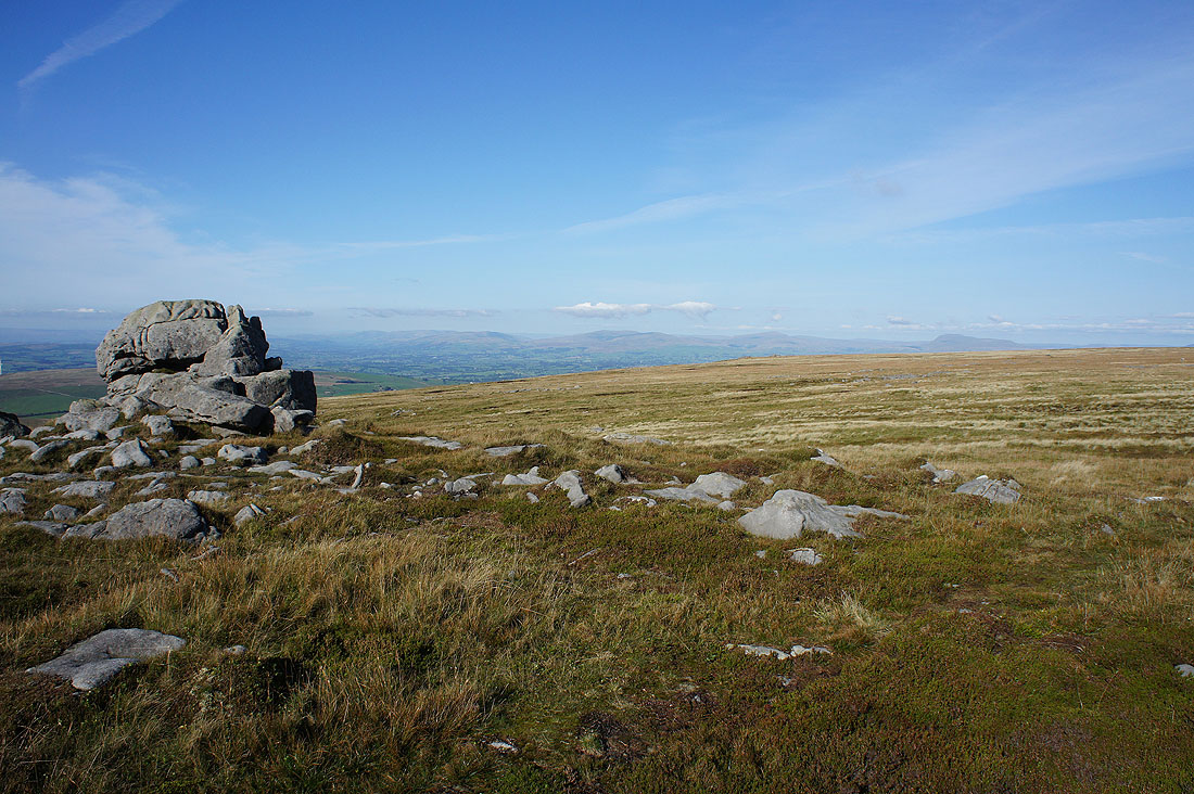
The Bowland grit of Wolfhole Crag. After nearly an hour spent here it was shame to have to move on. So peaceful and quiet with just the moorland birds for company.
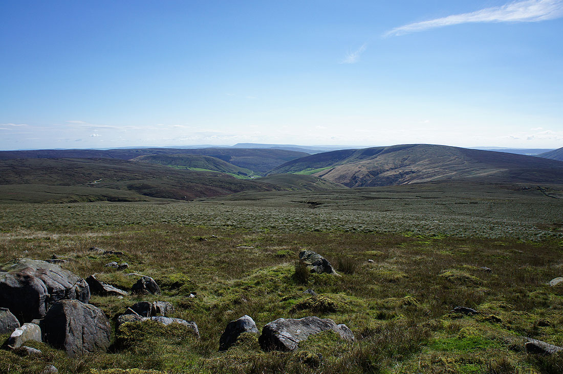
Heading back west and bound for Ward's Stone
Across the shooters track at the col between Ward's Stone and Wolfhole Crag
Looking back to Wolfhole Crag from Grey Crag. A rather extravagant name for a few boulders.
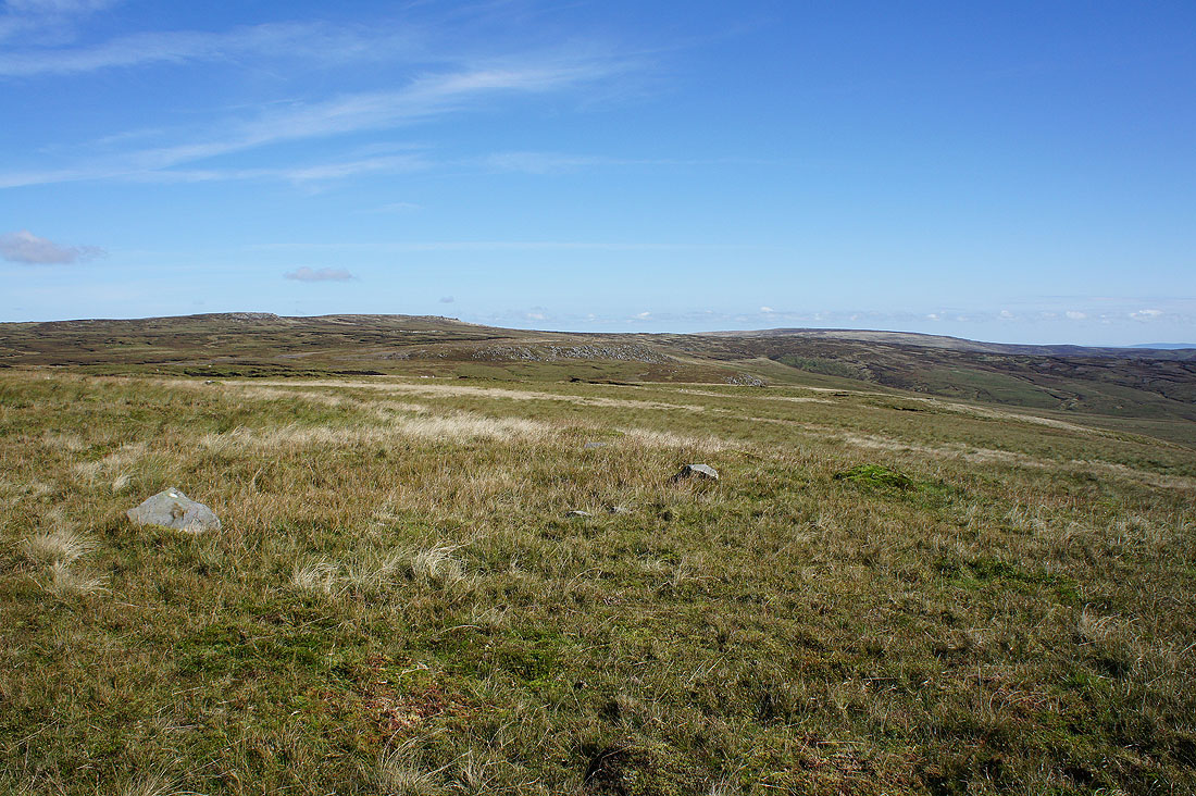
A fantastic view across to the Lake District and..
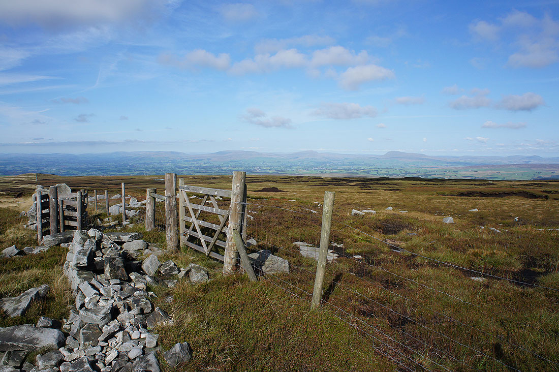
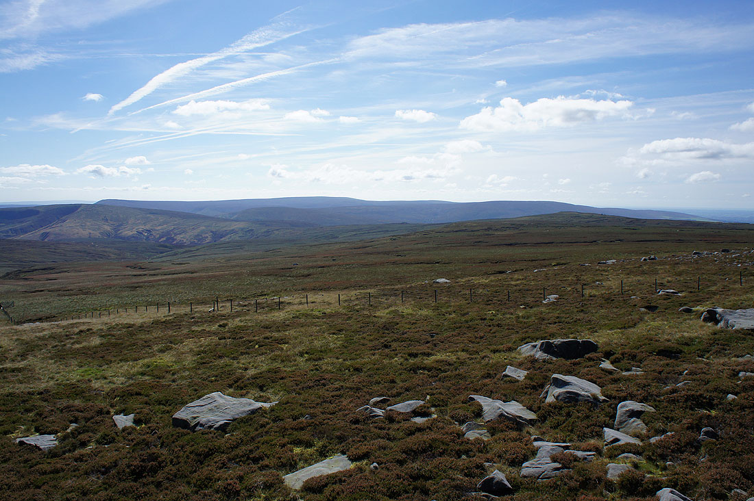
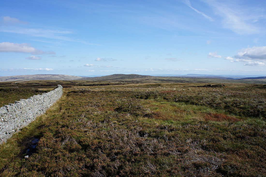
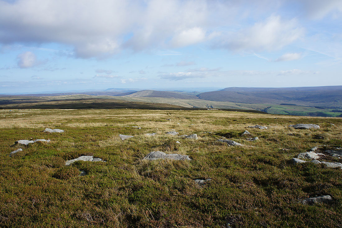
..the Yorkshire Dales as I reach the wall/fence junction at the moorland top south of High Stephen's Head
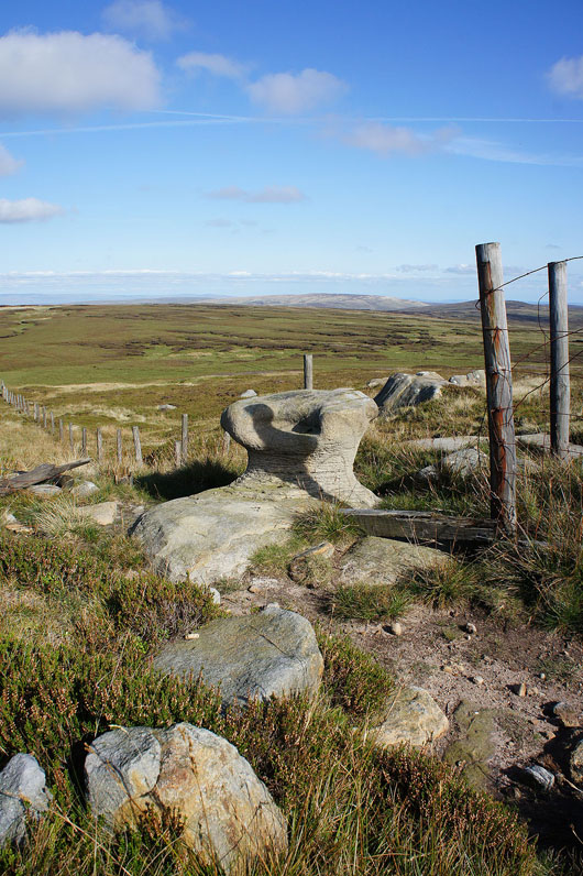
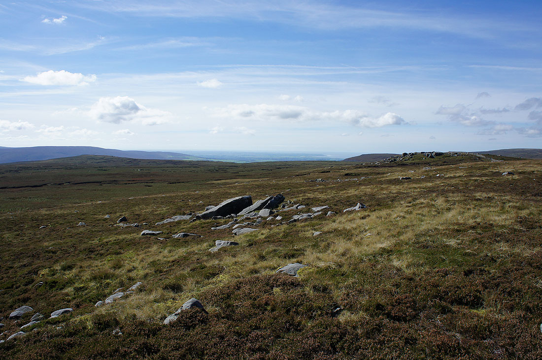
The eroded gritstone boulder of Queen's Chair
On the gritstone boulders of Grey Mare and Foal. White Hill, Wolfhole Crag, Pendle Hill and Whins Brow in the distance.
Pendle Hill, Whins Brow, Totridge and Fair Snape Fell
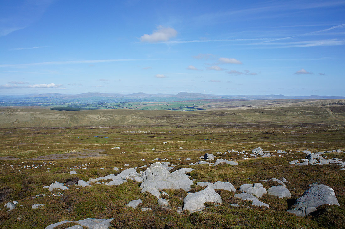
Great Coum, Whernside, Ingleborough and Penyghent in the distance
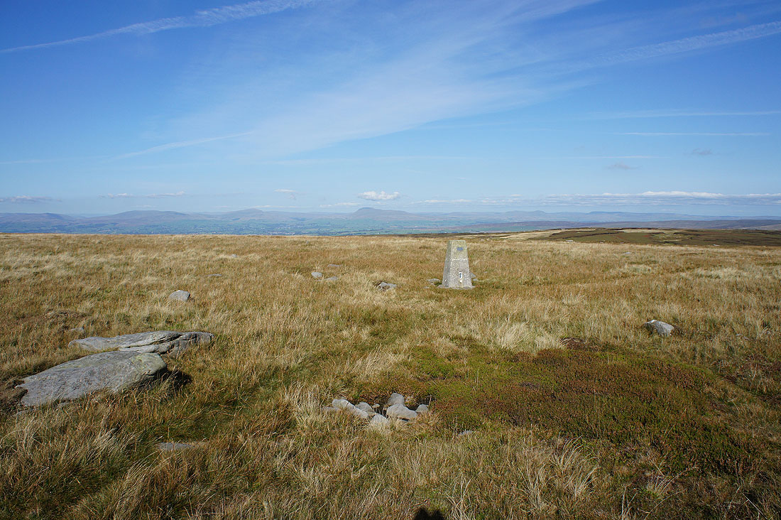
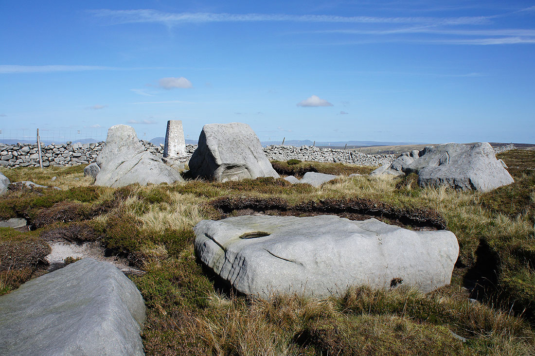
and again from the eastern trig point. This is the higher one, by 1m, though it seemed to me that whichever one I was stood by the other one looked higher.
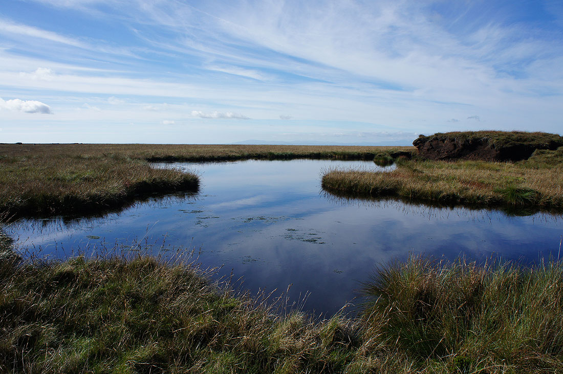
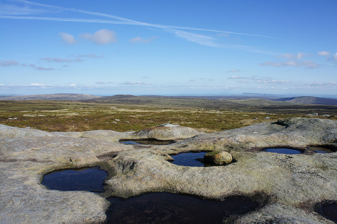
Past a summit pool
This is the view that you can enjoy on a day like this and makes all the effort worthwhile
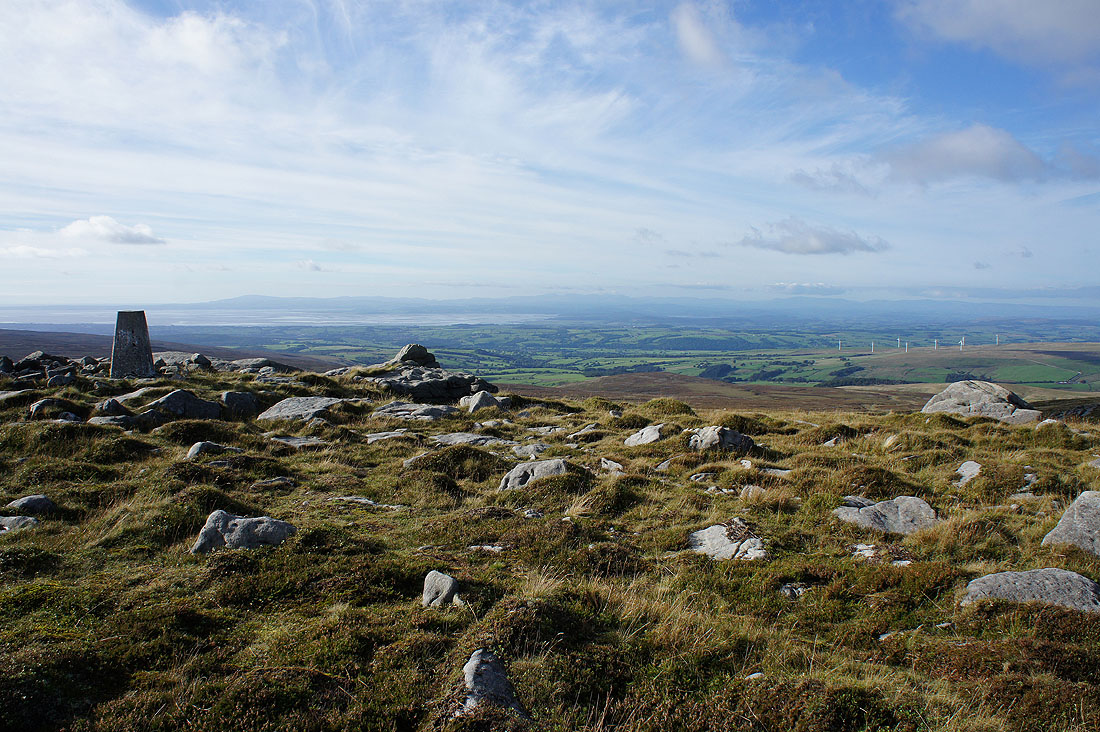
Next to the gritstone outcrop of Ward's Stone that gives the fell its name. There's a fantastic view from here and I found myself spending a bit more time here than I'd planned. To the right of Ward's Stone are the Howgills, Middleton Fell, Great Coum, Gragareth, Whernside and Ingleborough in the Yorkshire Dales.
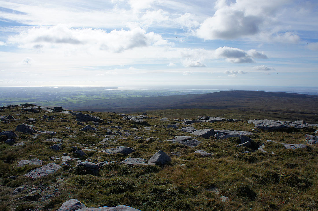
The Fylde coast, the Lune estuary and Grit Fell
Pendle Hill, Whins Brow, the Trough of Bowland and Totridge
The trig point and Ward's Stone
The glorious view from the western trig point across Lunesdale and Morecambe Bay to the Lake District
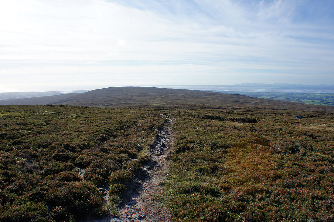
Descending from the summit towards Cabin Flat and Grit Fell
Looking back to the summit
A last chance to take in the view across to the Yorkshire Dales
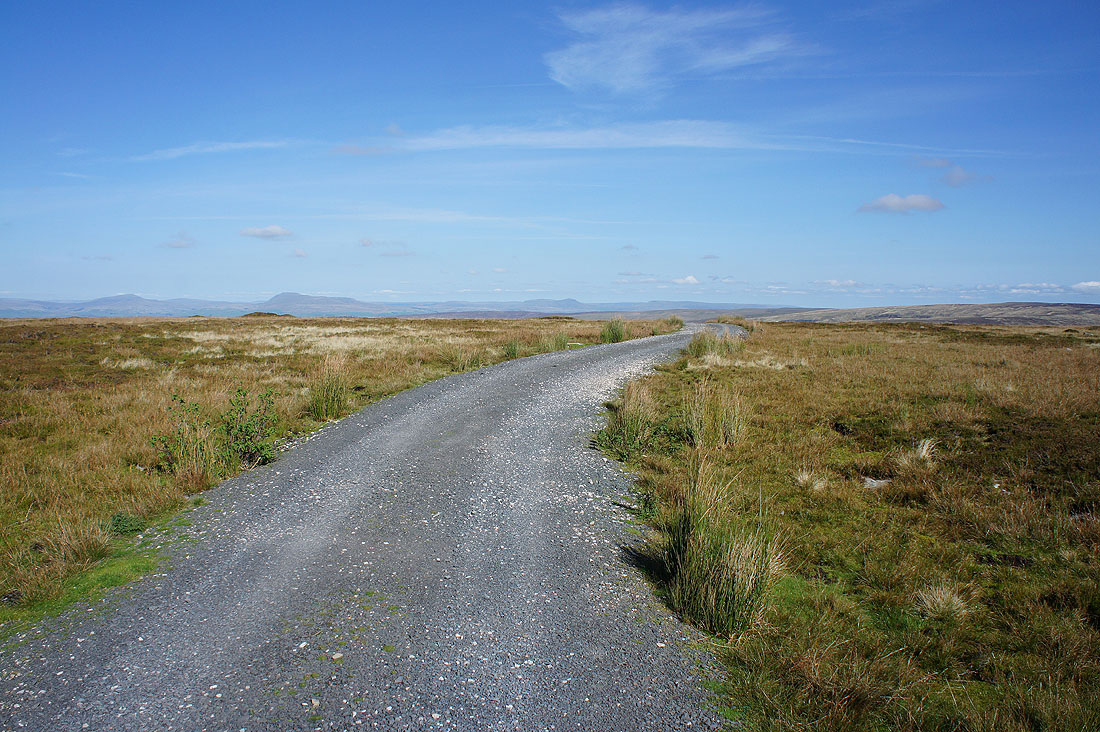
A long gradual descent into Wyresdale to come. This shooters track will take me all the way with views across the valley to Hawthornthwaite Fell..
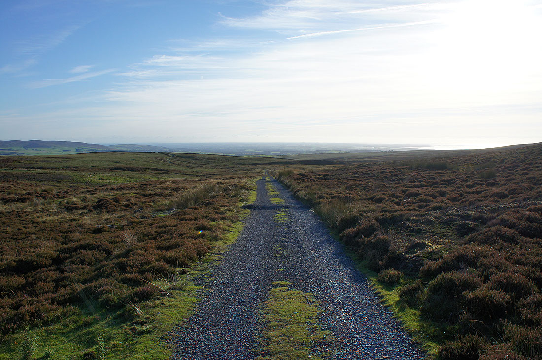
..and out to the Fylde coast
Long shadows below Ward's Stone as I make it back to Lower Lee
I finish with walking back through fields to Stoops Bridge. The cattle got a bit frisky as I passed them, fortunately once I was out of sight in the woodland they forgot about me.