17th September 2020 - The Howgills
Walk Details
Distance walked: 14.4 miles
Total ascent: 3985 ft
OS map used: OL19 - Howgill Fells & Upper Eden Valley
Time taken: 8 hrs
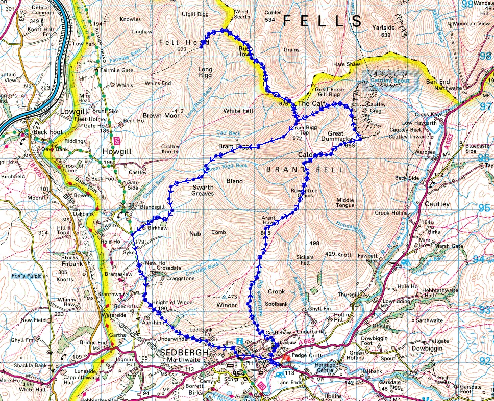
Route description: New Bridge, Sedbergh-Thorns Lane-Settlebeck Gill-Arant Haw-Rowantree Grains-Calders-Great Dummacks-Cautley Crag-Red Gill Beck-Force Gill Beck-The Calf-Bush Howe-Fell Head-Bush Howe-The Calf-Bram Rigg-Birkhaw-Howgill Lane-New Bridge, Sedbergh
My last walk on the Howgills back in January didn't quite go according to plan when the weather unexpectedly changed, and the fells ended up becoming covered in low cloud so that I had no views. I definitely wanted to have another walk on the Howgills before the end of the year, and with a forecast of wall-to-wall blue skies and sunshine, today was the ideal day for it. It was a beautiful early autumn day, and to make the most of it I kept to the high ground for as long as I could by walking from The Calf to Fell Head and back. To round the day off I had some really good fish and chips from the Haddock Paddock fish and chip shop in Sedbergh, which I had at the picnic site at New Bridge.
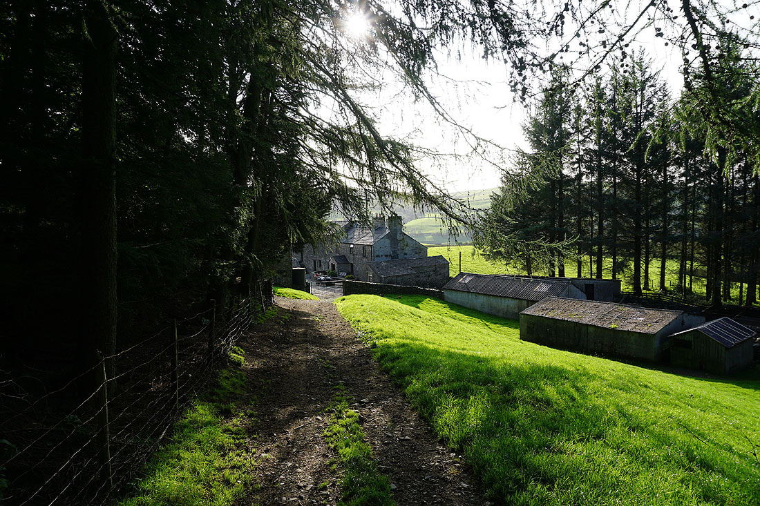
From where I parked in the layby at New Bridge on the A684 just outside Sedbergh I walked up the A684 to its junction with the A683, and crossed the road to Thorns Lane. I then walked up Thorns Lane until I reached a footpath on the left, which I took up to Howgills Barn, across Settlebeck Gill, and up to access land. I then made my way up the path above Settlebeck Gill and joined the bridleway from Winder to The Calf, which I followed uphill towards Arant Haw before leaving it to head up to the summit of Arant Haw. From Arant Haw I returned to the bridleway and followed it north across Rowantree Grains and up to the summit of Calders. From Calders I followed the fence east to the top of Middle Tongue before continuing on to the broad top of Great Dummacks and the southern end of Cautley Crag. I then made my way north along the top of the crag before dropping down to Red Gill Beck and the sheepfold next to it, where I stopped for lunch. After lunch I followed Force Gill Beck up to its source at the col between Bram Rigg Top and The Calf before heading up to the trig point on The Calf. The path to the northwest to Bush Howe was then taken, and then on to Breaks Head and Fell Head. Once I'd taken in the view from Fell Head I retraced my steps to The Calf and took the bridleway south towards Calders, soon leaving it for the bridleway on the right down the ridge of Bram Rigg, round Seat Knott, and down to Birkhaw and Howgill Lane. A walk south along Howgill Lane took me back to Sedbergh, and after walking through the town, to where I'd parked.
Total ascent: 3985 ft
OS map used: OL19 - Howgill Fells & Upper Eden Valley
Time taken: 8 hrs
Route description: New Bridge, Sedbergh-Thorns Lane-Settlebeck Gill-Arant Haw-Rowantree Grains-Calders-Great Dummacks-Cautley Crag-Red Gill Beck-Force Gill Beck-The Calf-Bush Howe-Fell Head-Bush Howe-The Calf-Bram Rigg-Birkhaw-Howgill Lane-New Bridge, Sedbergh
My last walk on the Howgills back in January didn't quite go according to plan when the weather unexpectedly changed, and the fells ended up becoming covered in low cloud so that I had no views. I definitely wanted to have another walk on the Howgills before the end of the year, and with a forecast of wall-to-wall blue skies and sunshine, today was the ideal day for it. It was a beautiful early autumn day, and to make the most of it I kept to the high ground for as long as I could by walking from The Calf to Fell Head and back. To round the day off I had some really good fish and chips from the Haddock Paddock fish and chip shop in Sedbergh, which I had at the picnic site at New Bridge.
From where I parked in the layby at New Bridge on the A684 just outside Sedbergh I walked up the A684 to its junction with the A683, and crossed the road to Thorns Lane. I then walked up Thorns Lane until I reached a footpath on the left, which I took up to Howgills Barn, across Settlebeck Gill, and up to access land. I then made my way up the path above Settlebeck Gill and joined the bridleway from Winder to The Calf, which I followed uphill towards Arant Haw before leaving it to head up to the summit of Arant Haw. From Arant Haw I returned to the bridleway and followed it north across Rowantree Grains and up to the summit of Calders. From Calders I followed the fence east to the top of Middle Tongue before continuing on to the broad top of Great Dummacks and the southern end of Cautley Crag. I then made my way north along the top of the crag before dropping down to Red Gill Beck and the sheepfold next to it, where I stopped for lunch. After lunch I followed Force Gill Beck up to its source at the col between Bram Rigg Top and The Calf before heading up to the trig point on The Calf. The path to the northwest to Bush Howe was then taken, and then on to Breaks Head and Fell Head. Once I'd taken in the view from Fell Head I retraced my steps to The Calf and took the bridleway south towards Calders, soon leaving it for the bridleway on the right down the ridge of Bram Rigg, round Seat Knott, and down to Birkhaw and Howgill Lane. A walk south along Howgill Lane took me back to Sedbergh, and after walking through the town, to where I'd parked.
Route map
© Crown copyright. All rights reserved. License number PU 100034184.
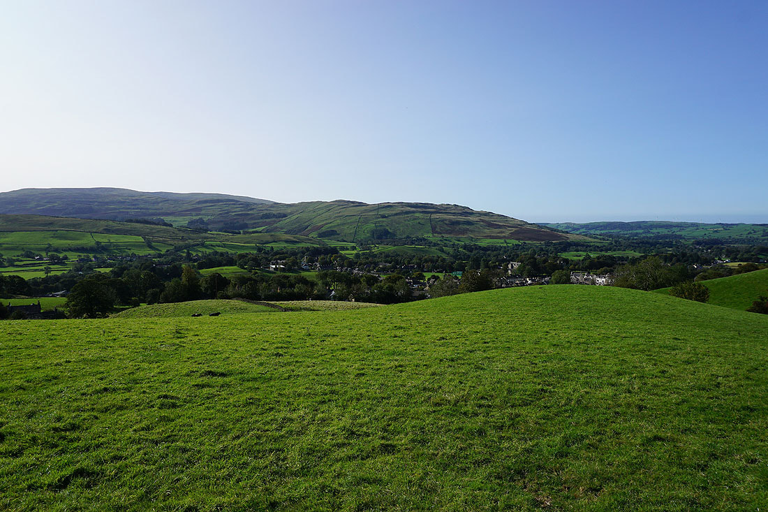
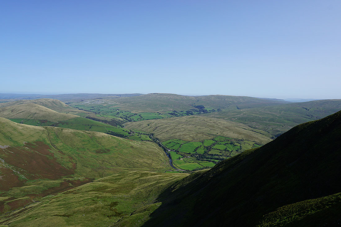
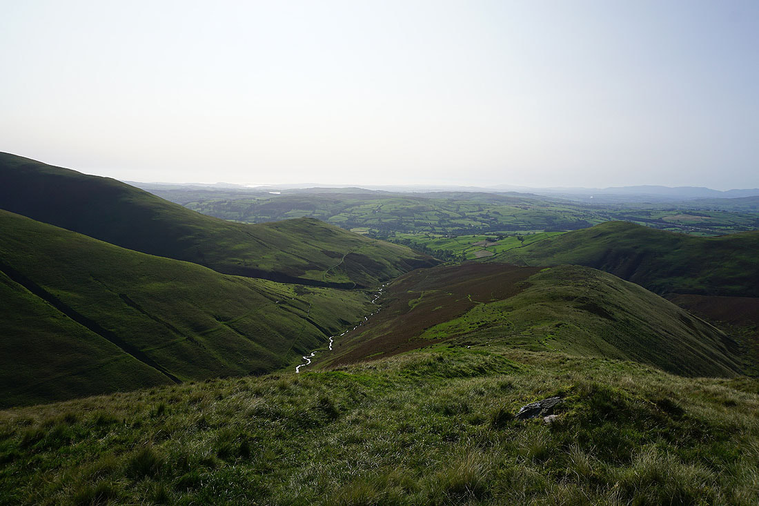
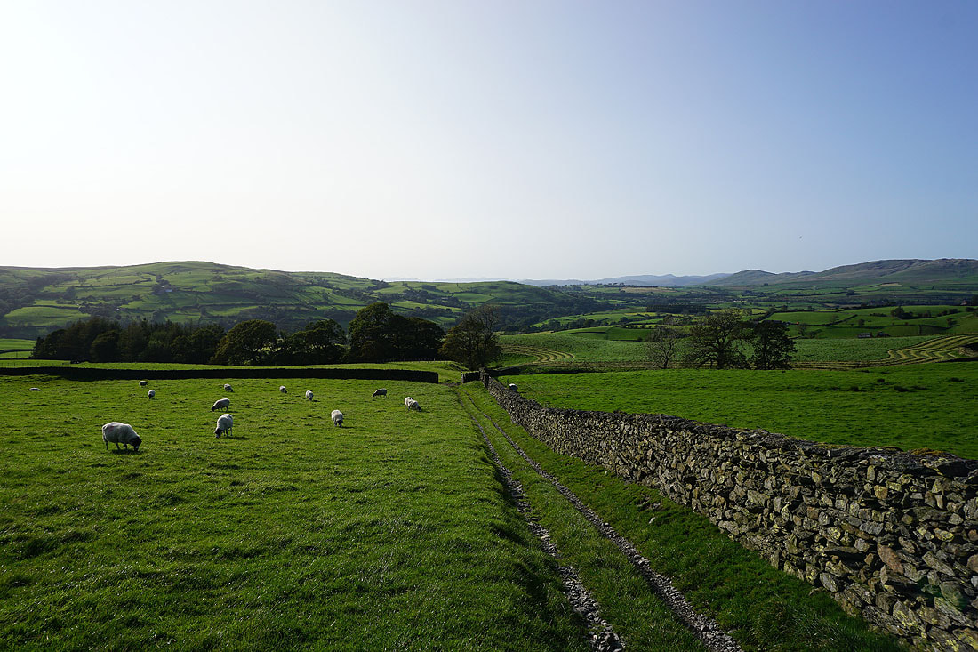
Looking back to Sedbergh
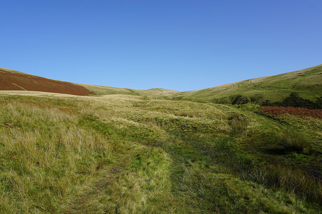
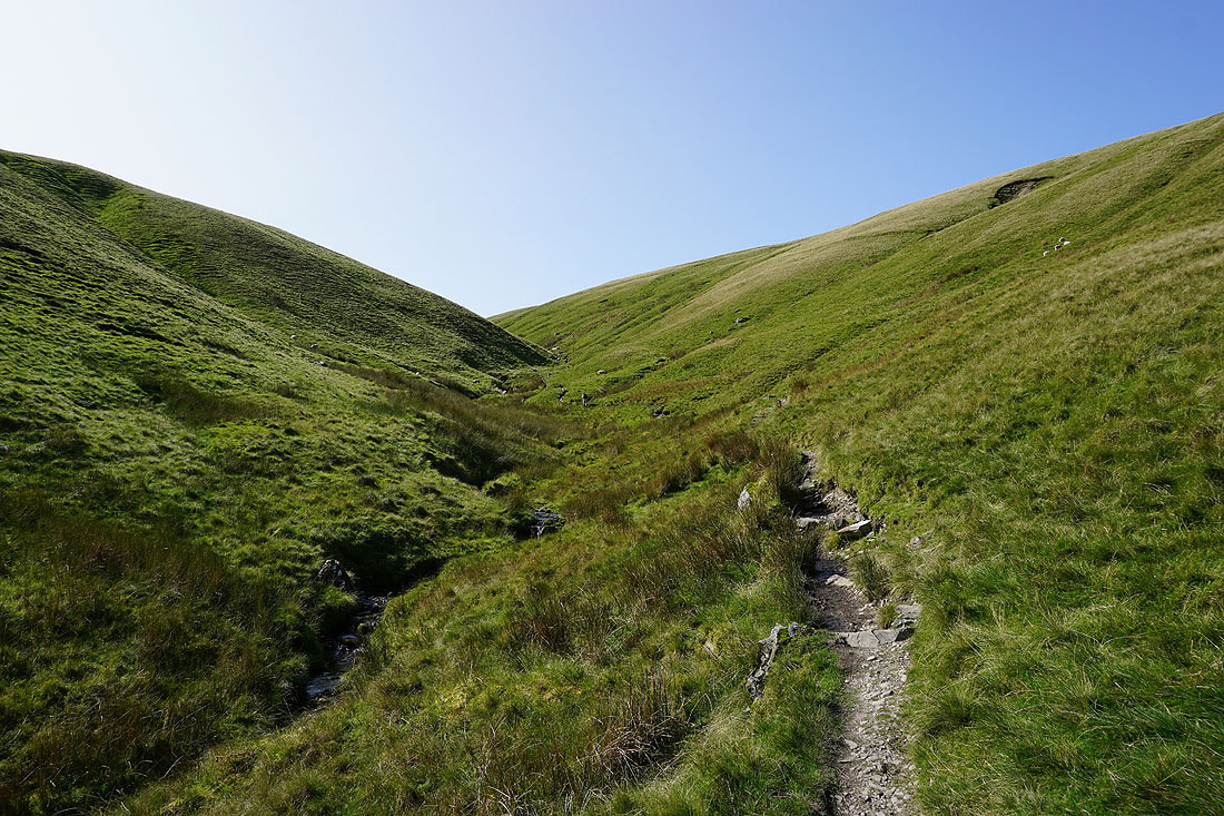
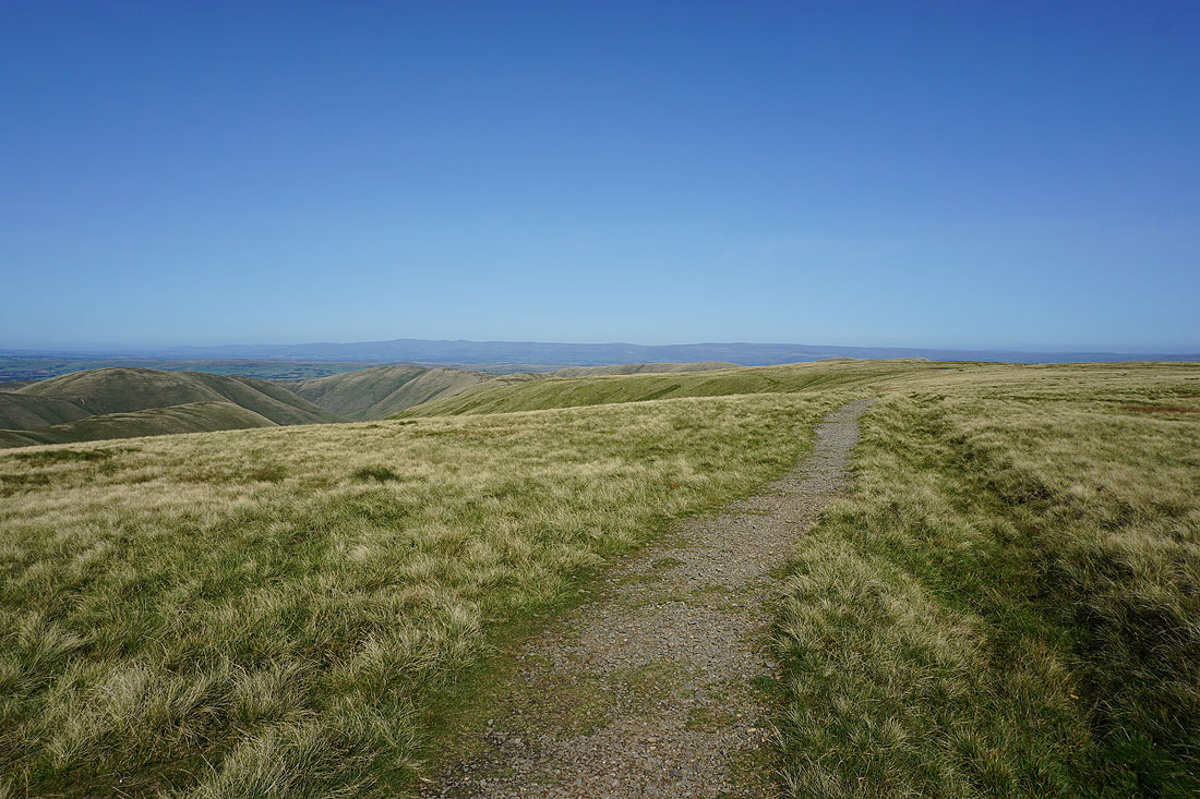
Following the path up by Settlebeck Gill
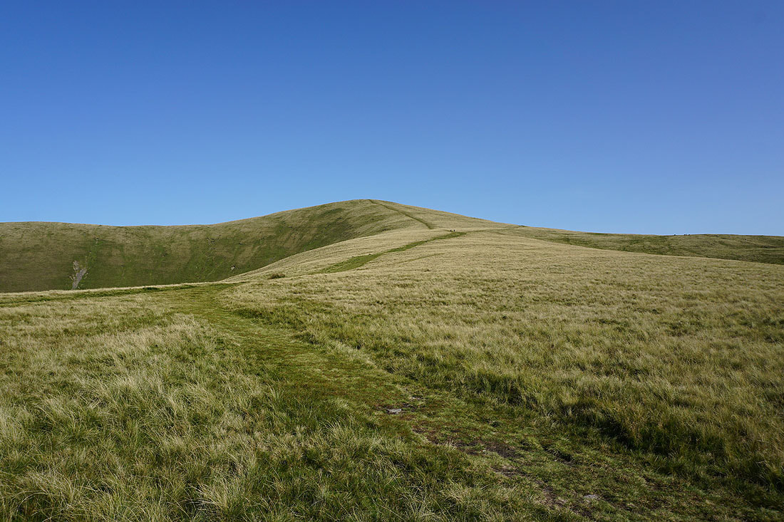
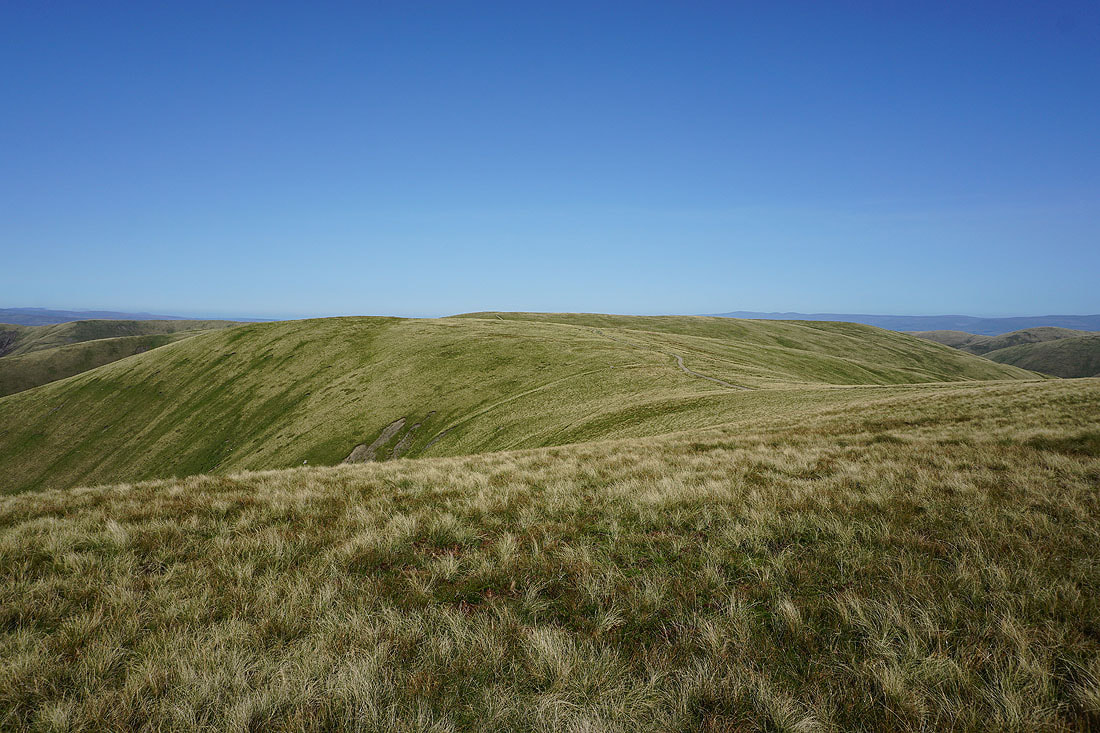
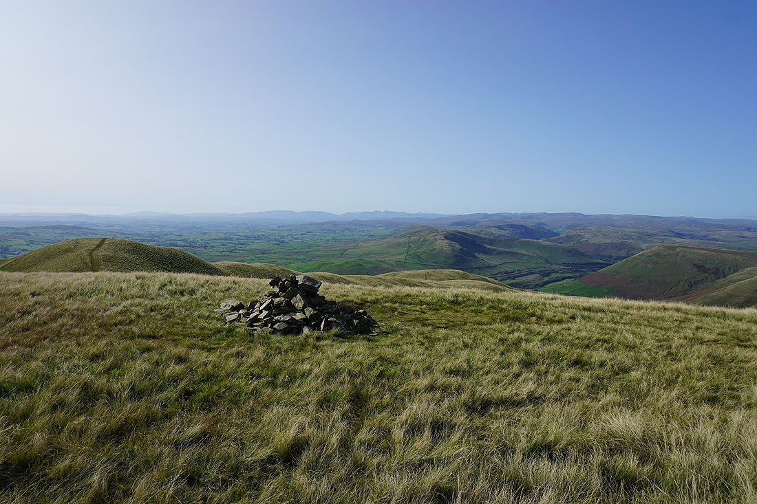
Arant Haw as I reach its top
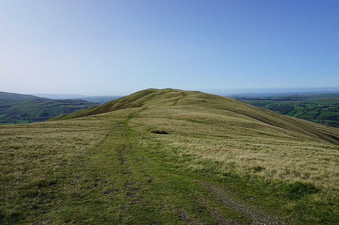
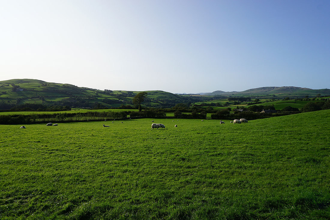
Looking back to Winder
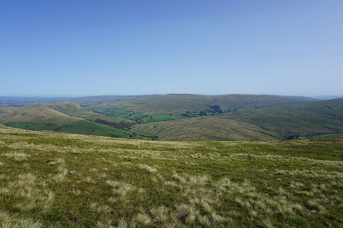
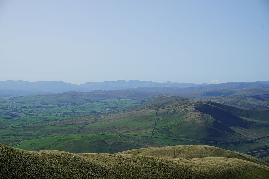
On the summit of Arant Haw and there are great views to enjoy. Looking southeast to Baugh Fell, Garsdale, Great Knoutberry Hill, Aye Gill Pike, Penyghent, Whernside, Ingleborough and Great Coum.
and then south to Aye Gill Pike, Penyghent, Whernside, Ingleborough, Great Coum and Middleton Fell, with the hills of Crook and Winder below..
Finally, a long line of distant Lake District fells to the west
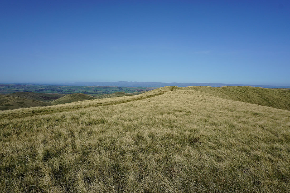
Leaving Arant Haw..
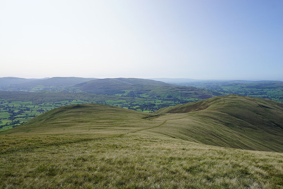
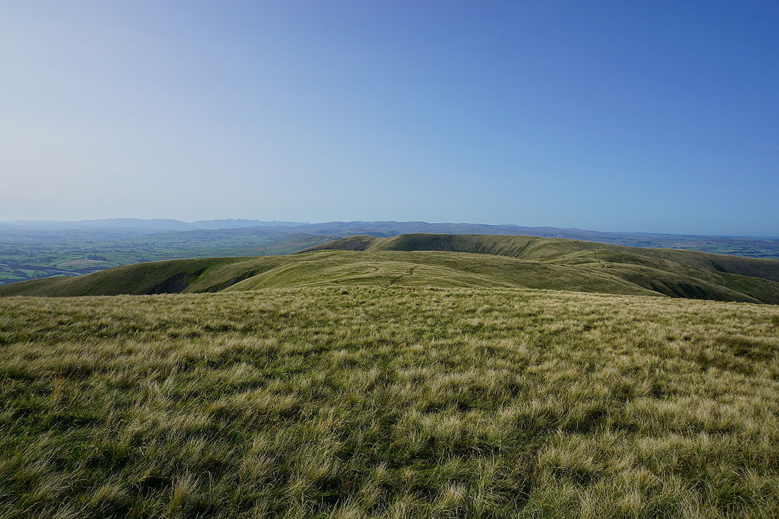
..to cross Rowantree Grains to Calders
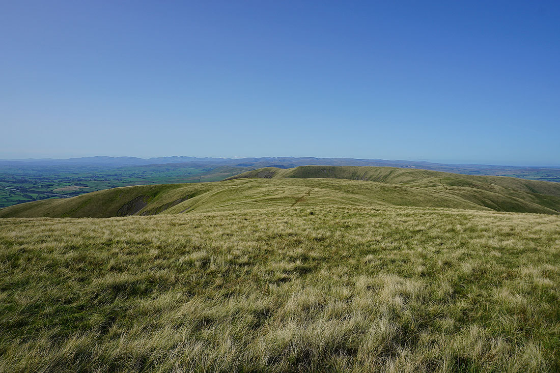
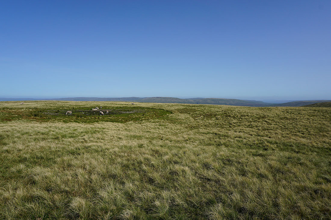
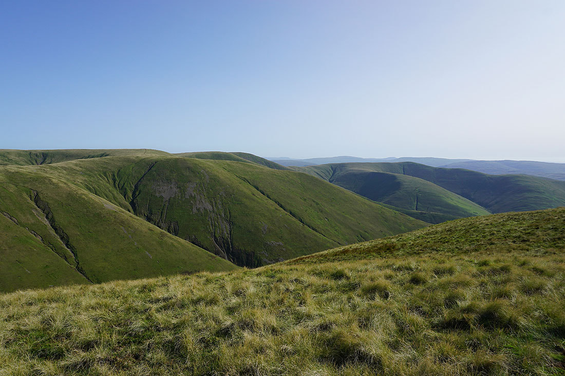
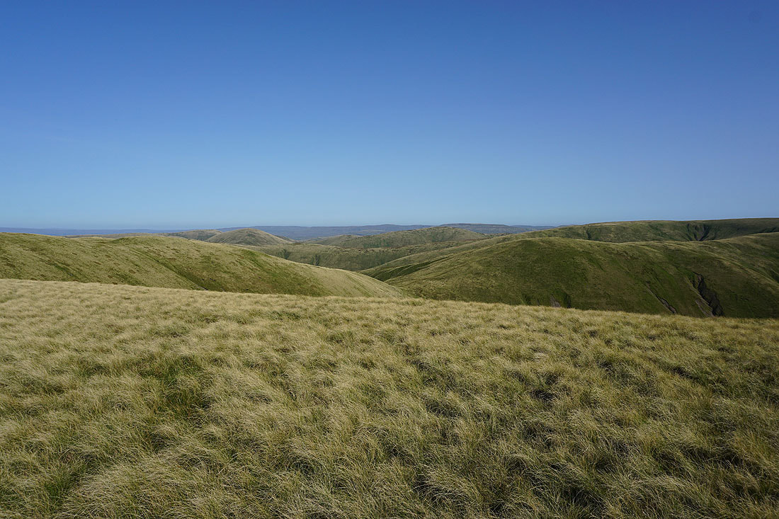
Numerous Howgill ridges to my left
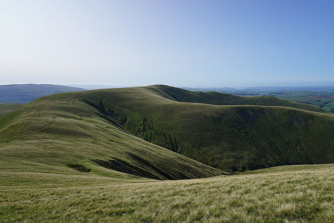
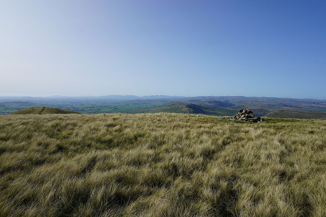
Looking back to Arant Haw as I make my way up Calders
On the top of Calders and I have another great view to take in. Penyghent, Aye Gill Pike, Whernside, Ingleborough, Great Coum and Middleton Fell to the south.
Middleton Fell and Arant Haw
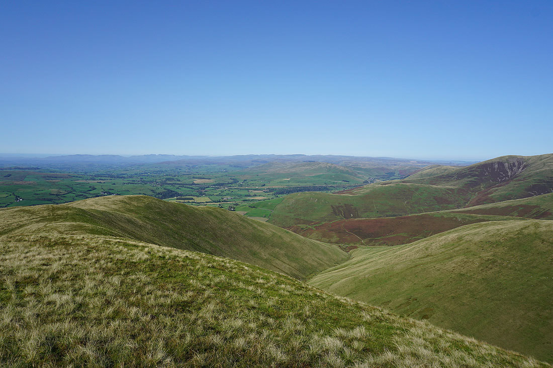
Lake District fells in the distance with Lunesdale below
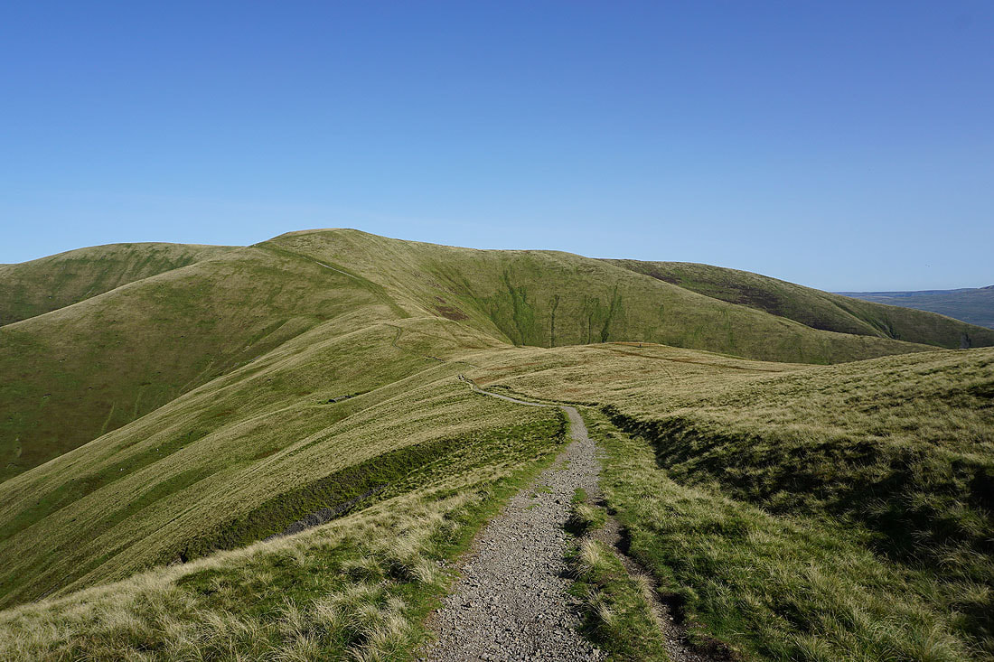
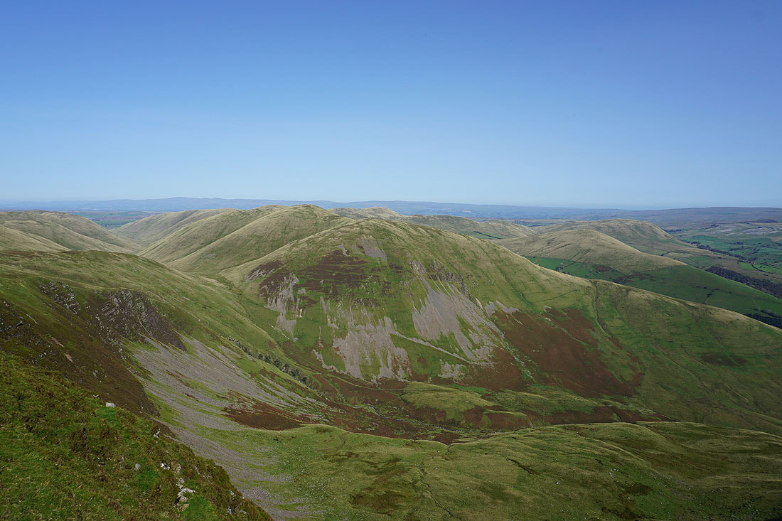
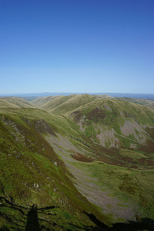
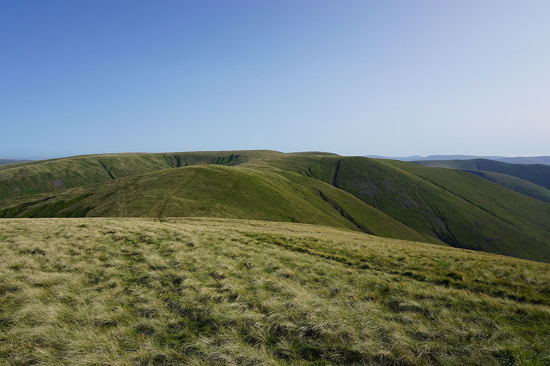
Bram Rigg Top and The Calf
Great Dummacks with High Seat and Wild Boar Fell beyond
Baugh Fell, Penyghent, Aye Gill Pike, Whernside, Ingleborough, Great Coum and Middleton Fell from the Top of Middle Tongue
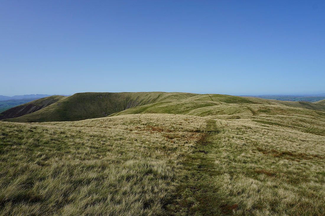
Calders, Bram Rigg Top and The Calf from Great Dummacks
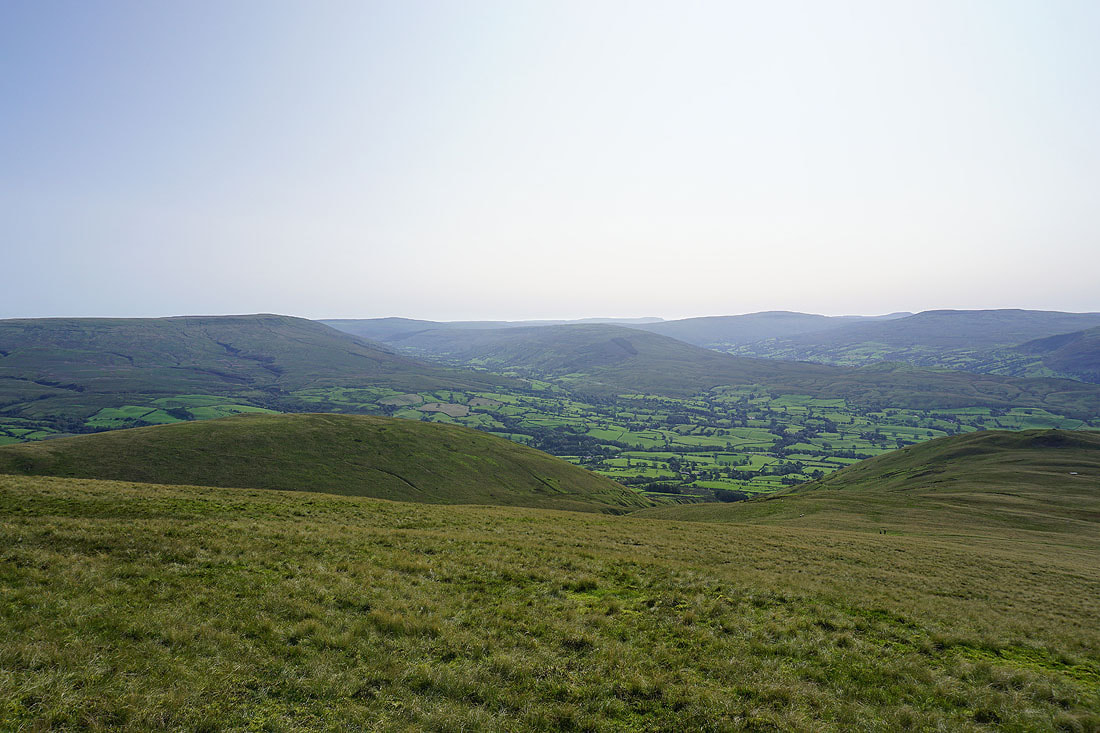
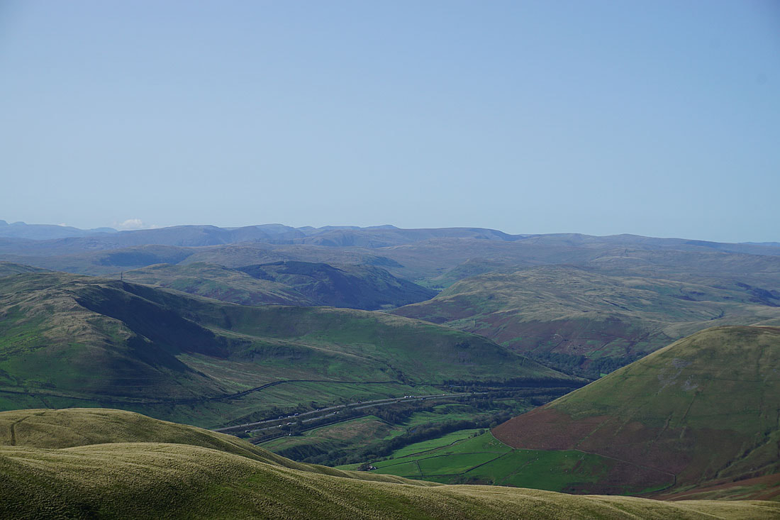
Wandale Hill, Harter Fell and Wild Boar Fell with the valley of the River Rawthey below
Baugh Fell, Penyghent, Aye Gill Pike, Whernside, Ingleborough, Great Coum and Middleton Fell from the top of Great Dummacks
Yarlside from the top of Cautley Crag..
Wandale Hill, Harter Fell, Wild Boar Fell and Swarth Fell

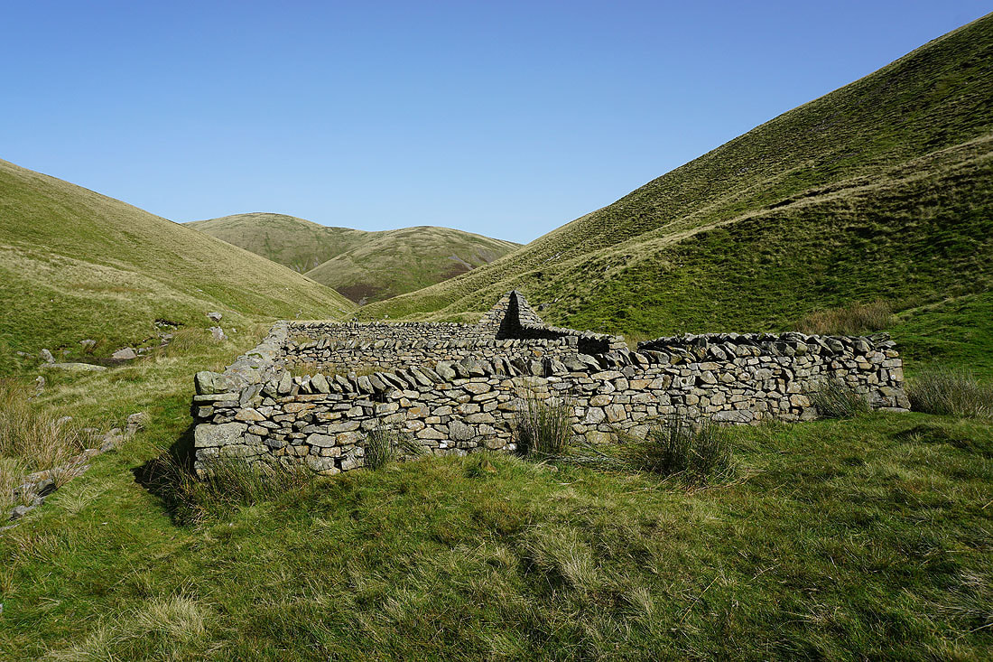
The Andy Goldsworthy sheepfold by Red Gill Beck. A good place to stop for lunch...

Following the path up by Force Gill Beck
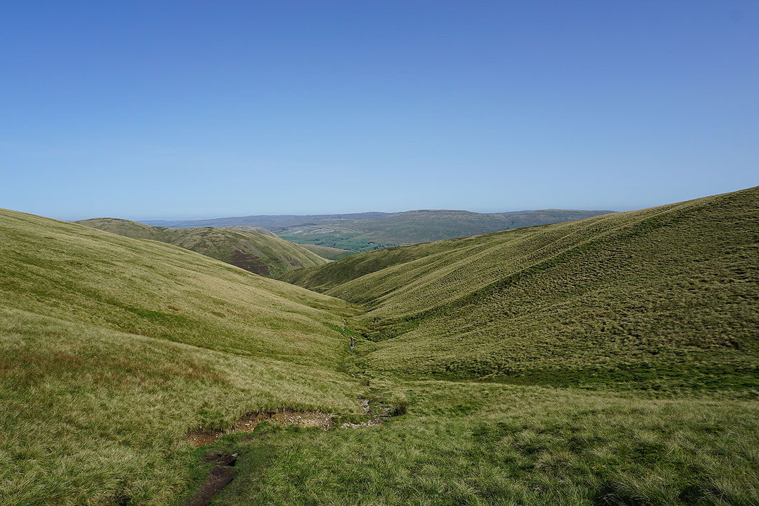
Looking back down Force Gill Beck
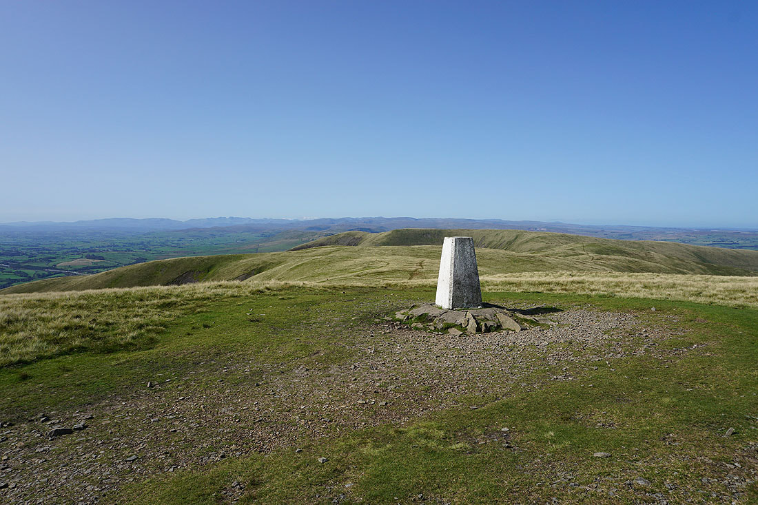
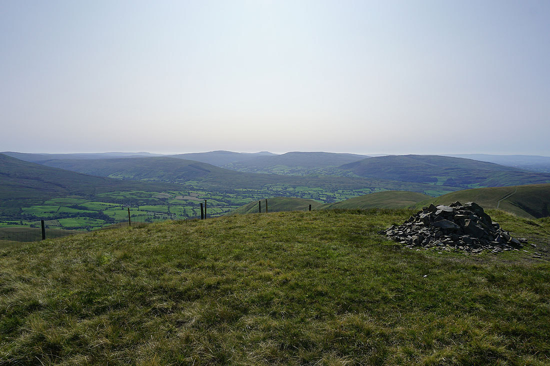
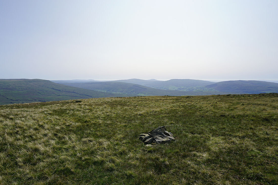
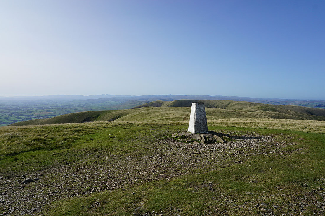
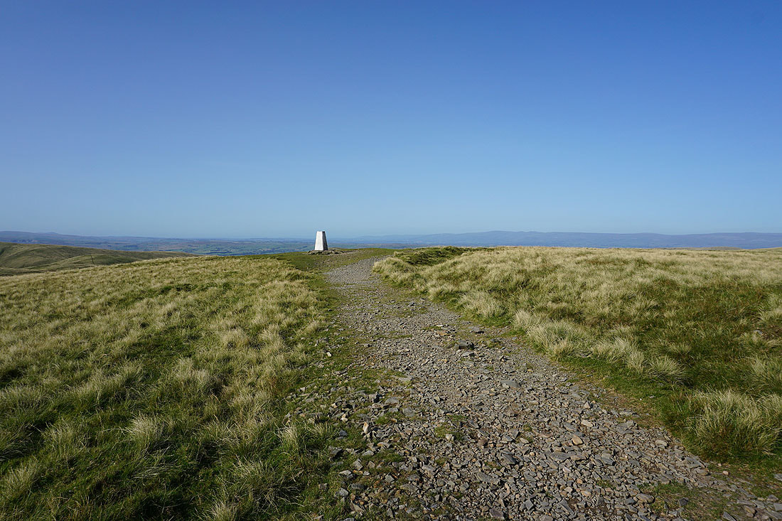
At the trig point on The Calf for the first time today. There's a fantastic view from here, which makes it a great place to be when the weather is like this.
Penyghent, Whernside, Ingleborough, Great Coum and Middleton Fell beyond the nearby Calders and Bram Rigg Top
Morecambe Bay to the southwest
A great view of the Lake District fells to the west
Cross Fell and the North Pennines on the other side of the Eden Valley
High Seat, Wild Boar Fell and Swarth Fell to the east
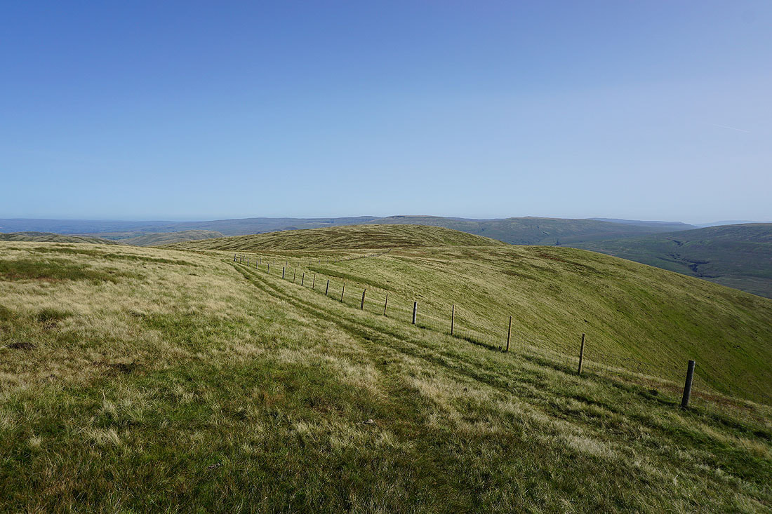
Heading for Fell Head
Looking back to The Calf
On the summit of Fell Head and a fantastic view across to the Lake District
Cross Fell and the North Pennines in the distance
Penyghent, Whernside, Ingleborough, Great Coum and Middleton Fell in the distance beyond the slopes of the nearby The Calf, Bram Rigg Top, Calders and Arant Haw
Can't resist taking another photo of the view across to the Lake District
Zooming in on Scafell, Scafell Pike, Great Gable and Pillar
and on Fairfield, Helvellyn and High Street
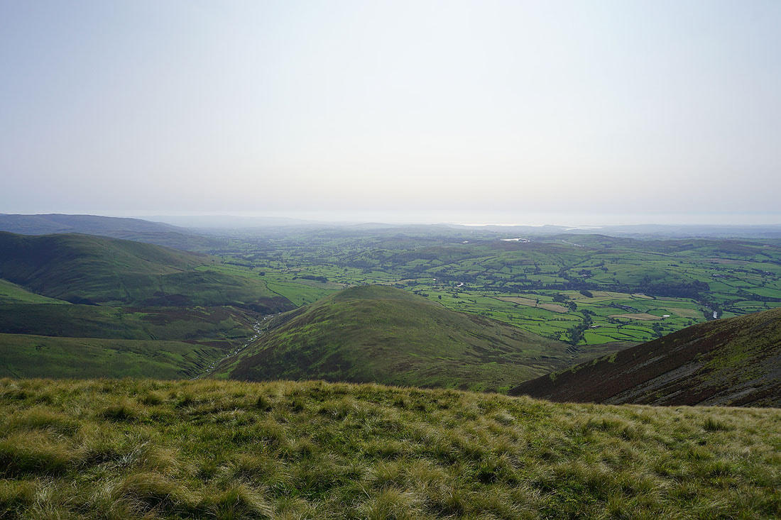
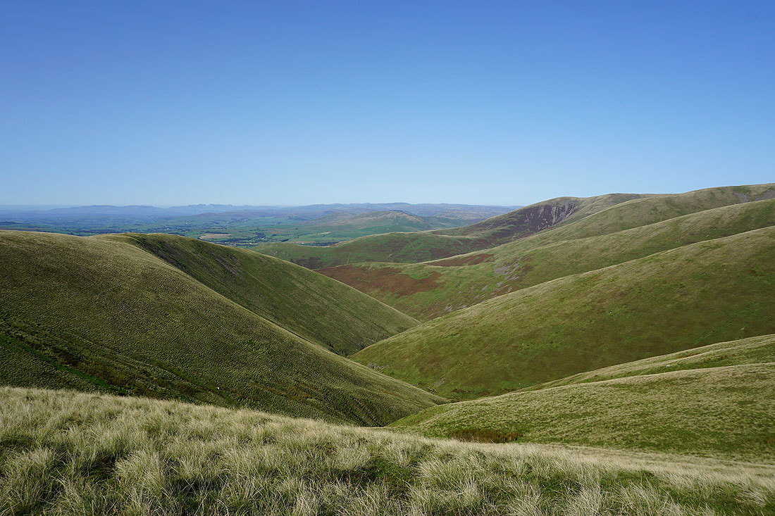
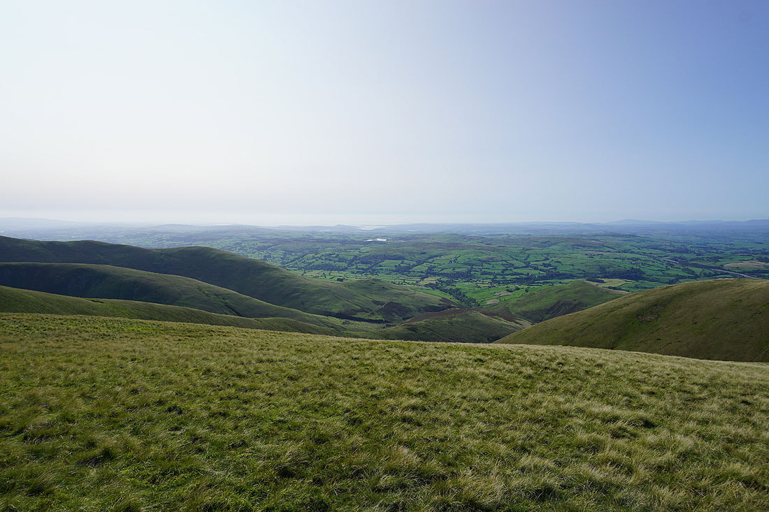
Lunesdale below with Morecambe Bay in the distance
One last shot of the Lake District
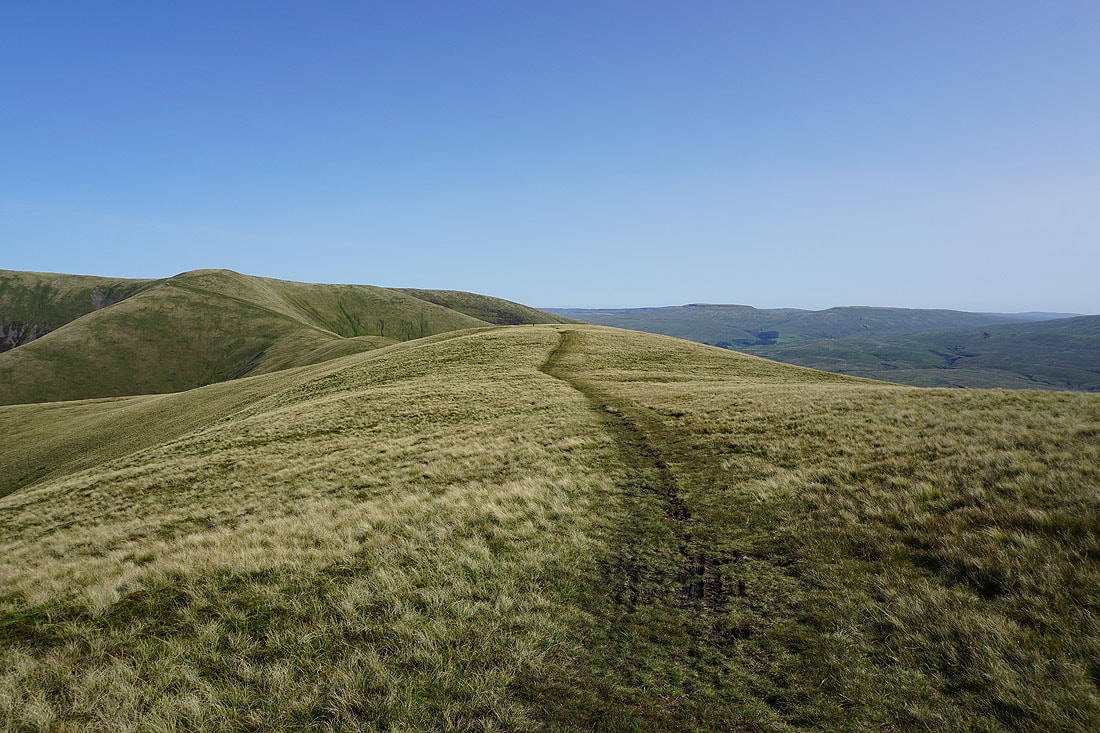
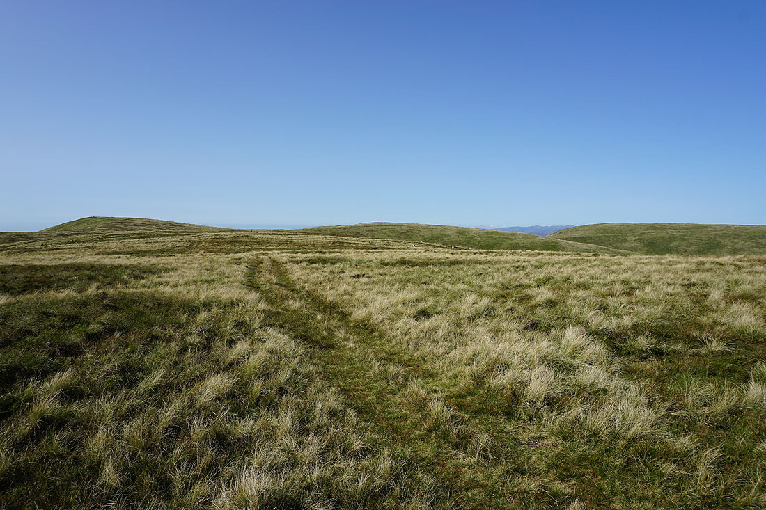
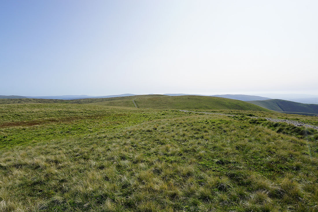
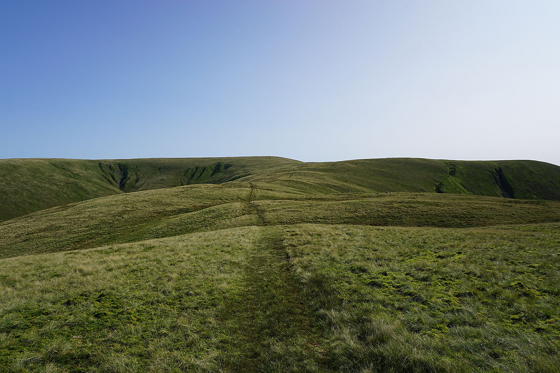
The hills and ridges of the northern Howgills
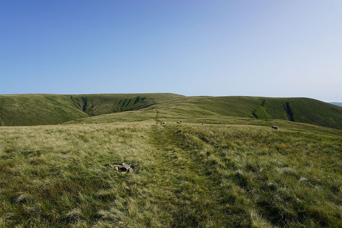
Heading back to The Calf..
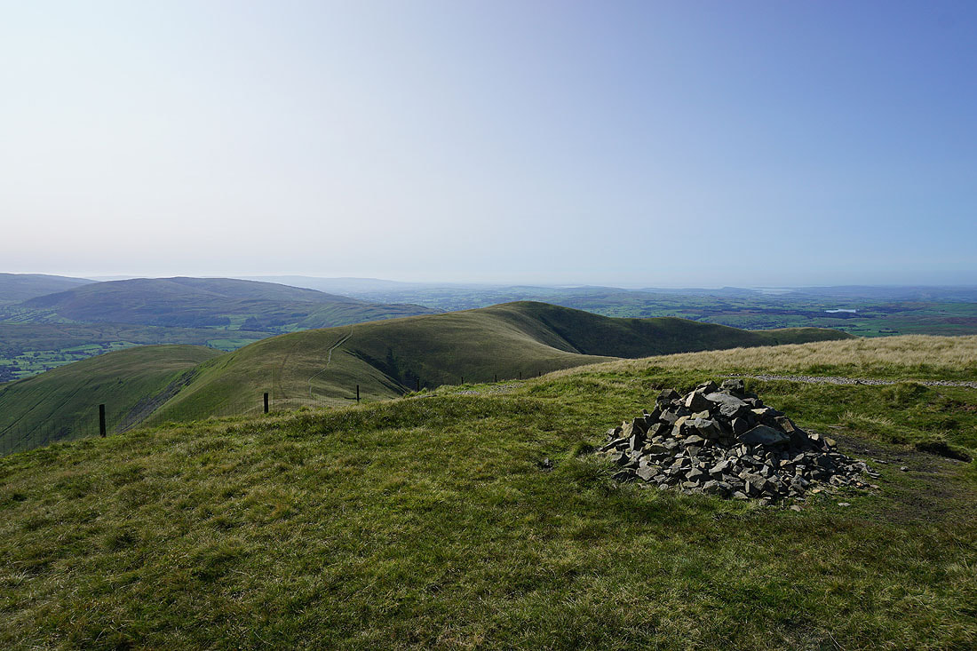
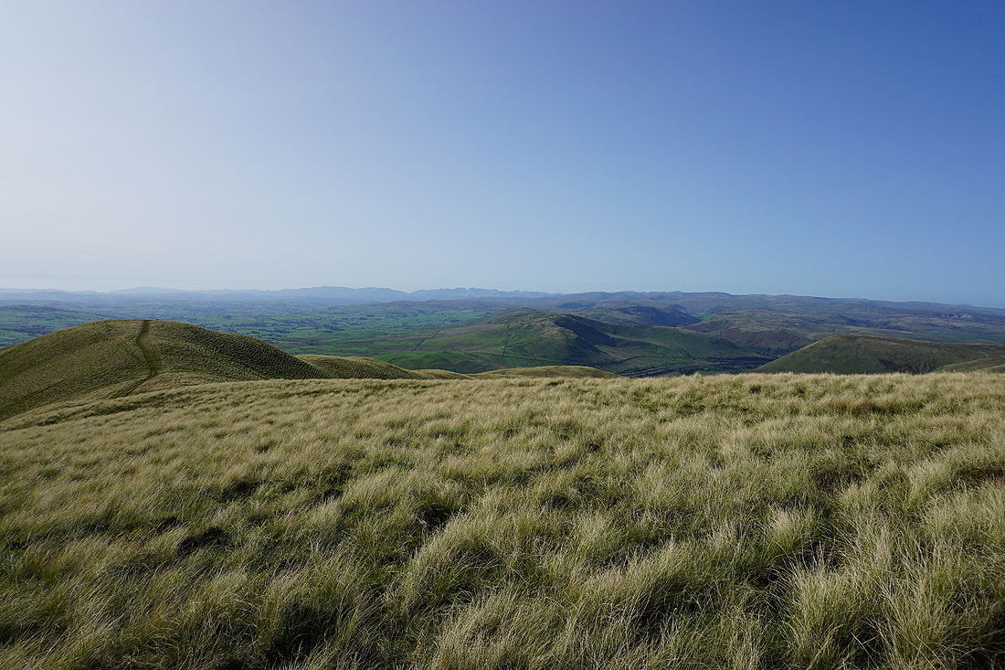
On The Calf for the second time today and the view is just as good as it was nearly two hours ago
Distant Lake District fells
and the North Pennines on the right
The sun shining on Morecambe Bay
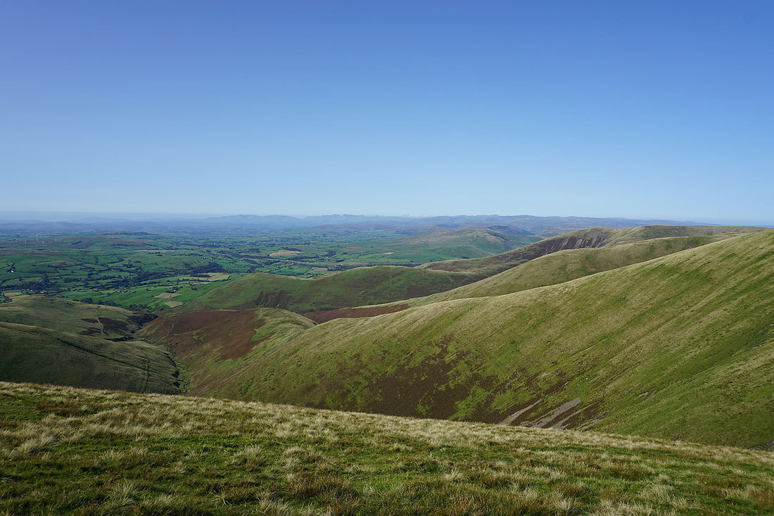
Heading down the ridge of Bram Rigg..
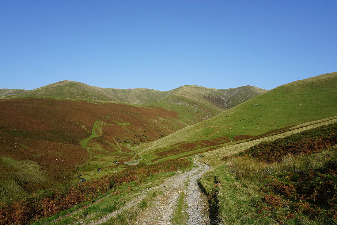
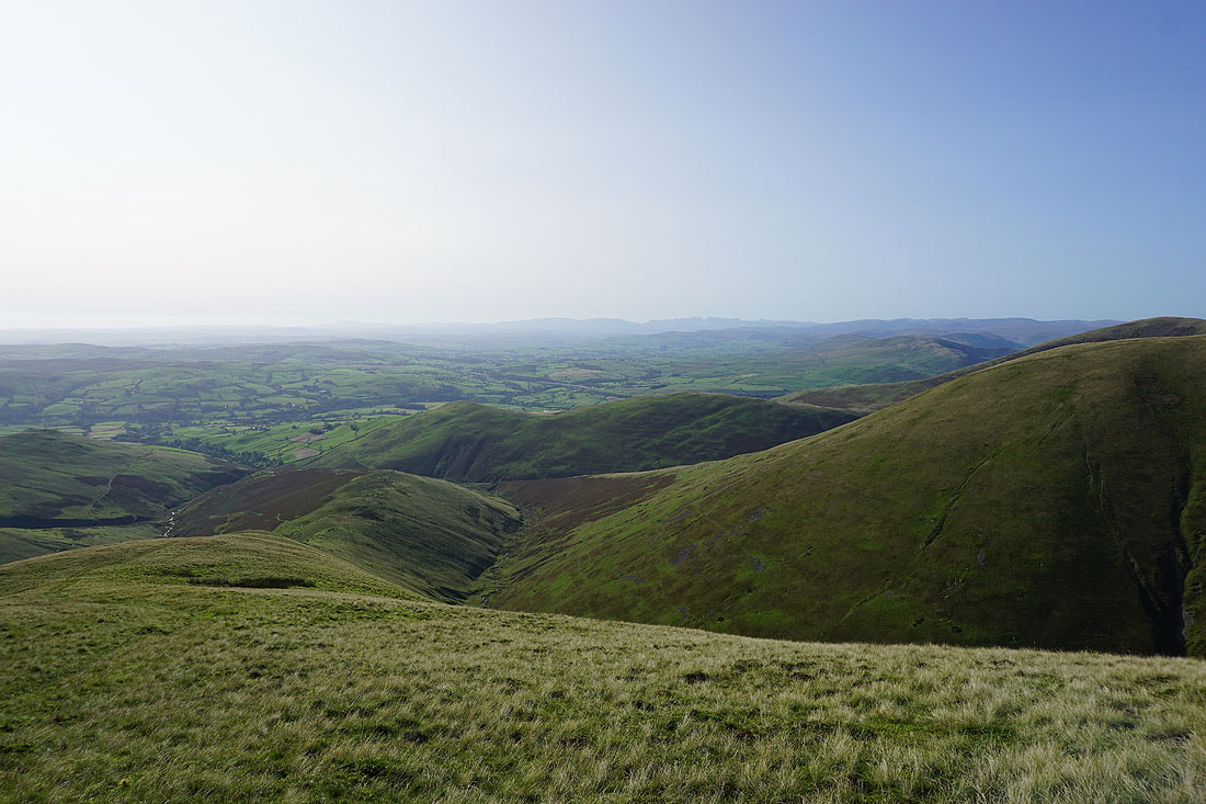
The Calf, Bram Rigg Top and Calders after crossing the ford over Bram Rigg Beck

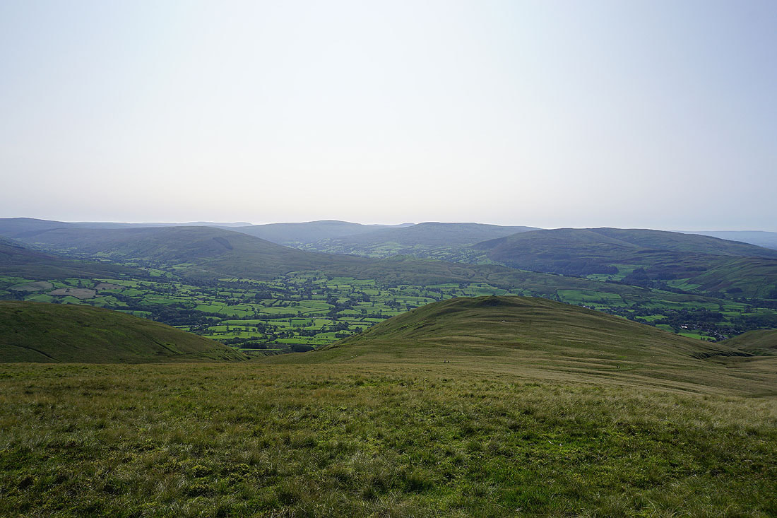
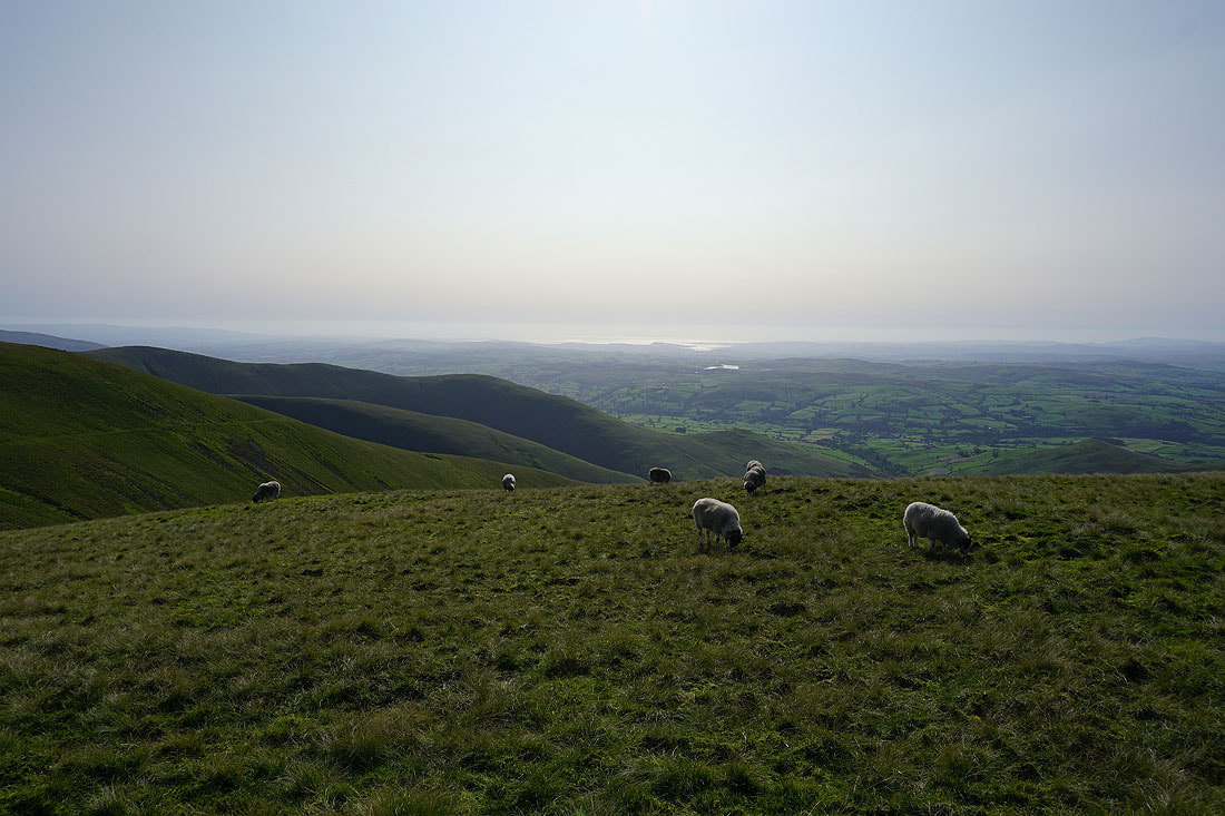
Fell Head and Chapel Beck from the bridleway beneath Seat Knott
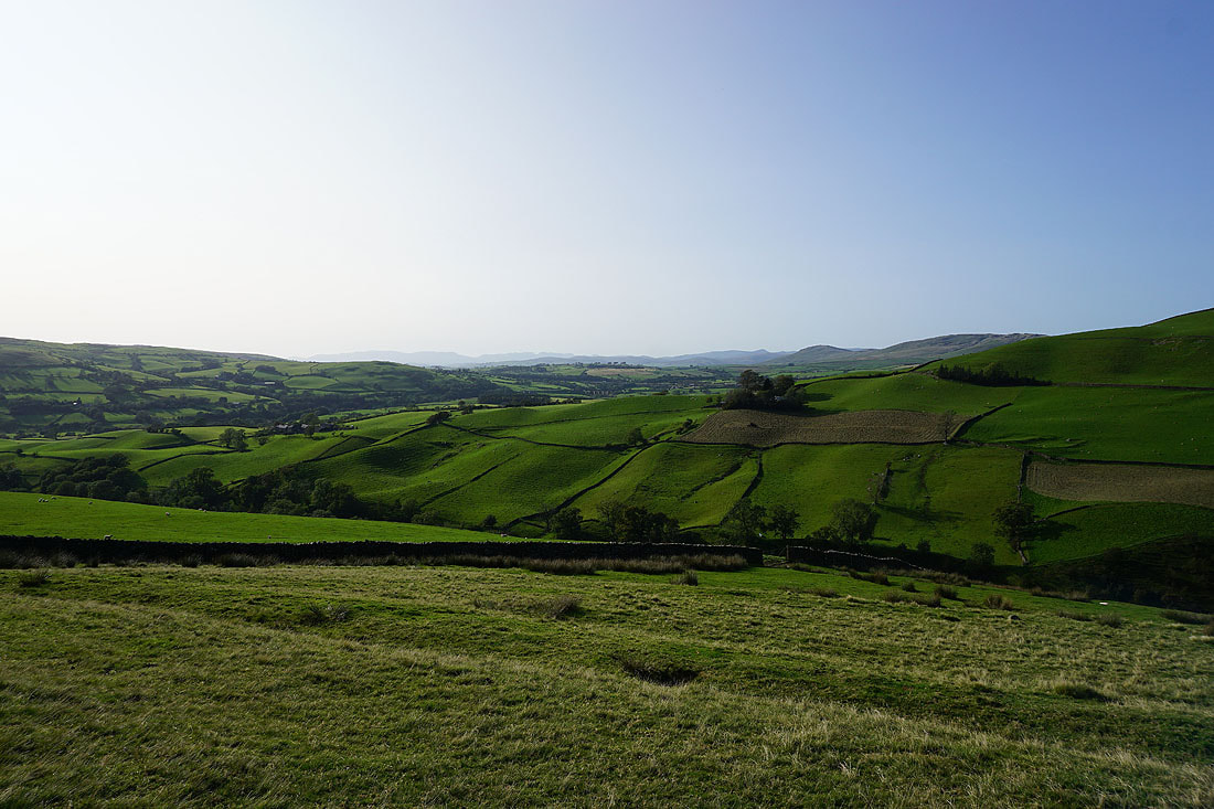
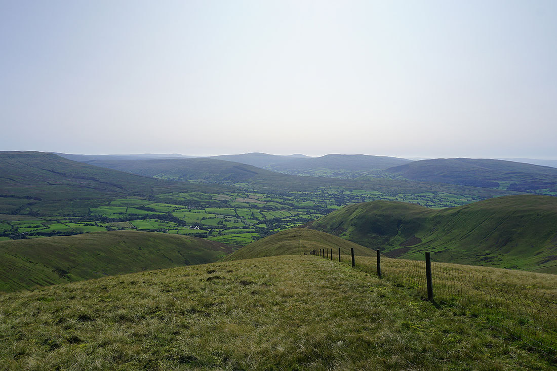
Great views across Lunesdale as I follow the bridleway down to Birkhaw....
Lunesdale from Birkhaw
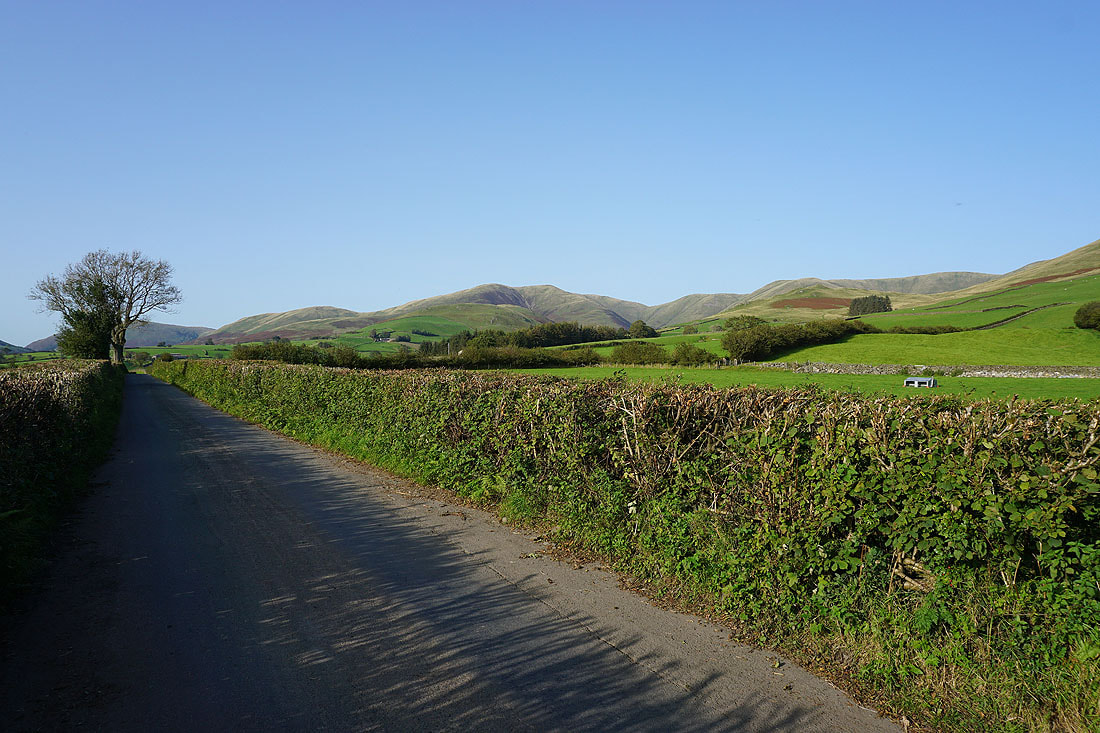
The Howgills as I walk south along Howgill Lane..
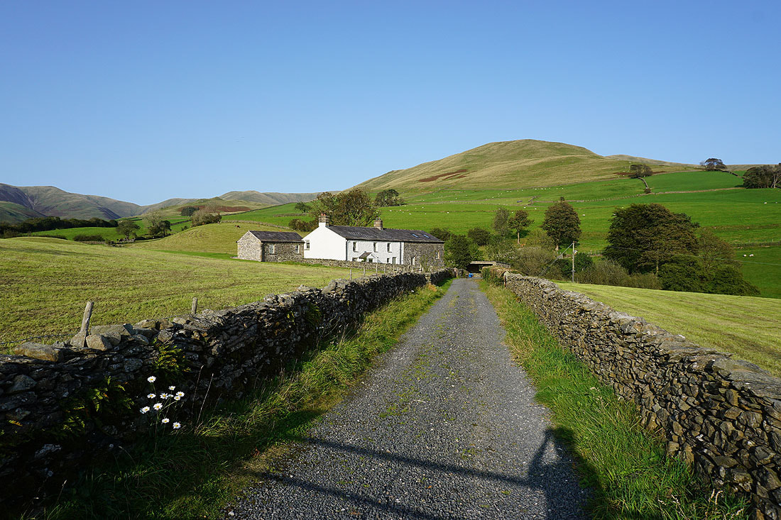
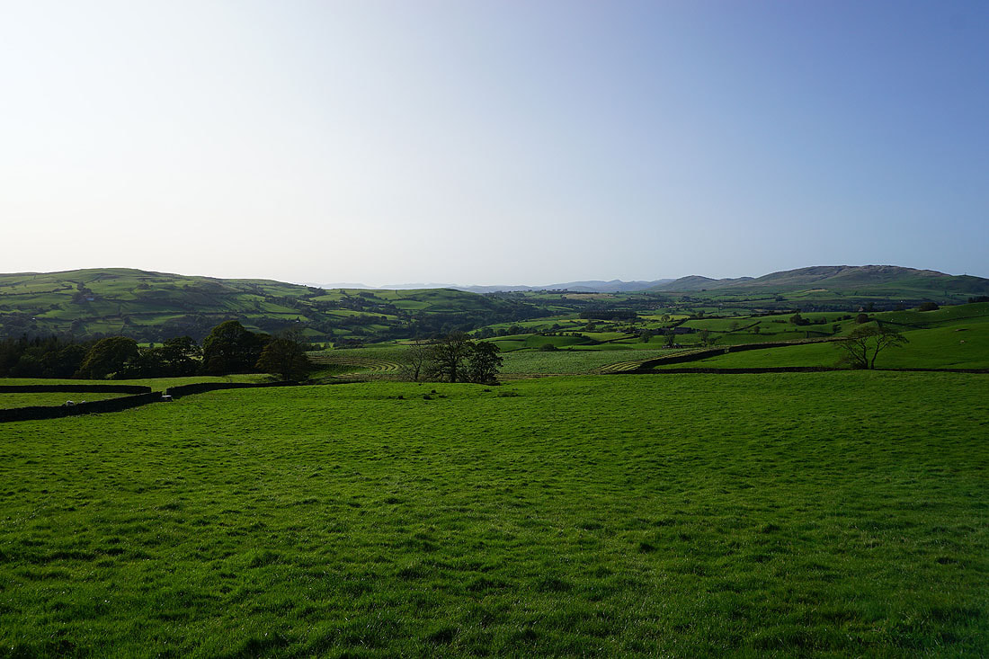
New House beneath the slopes of Arant Haw
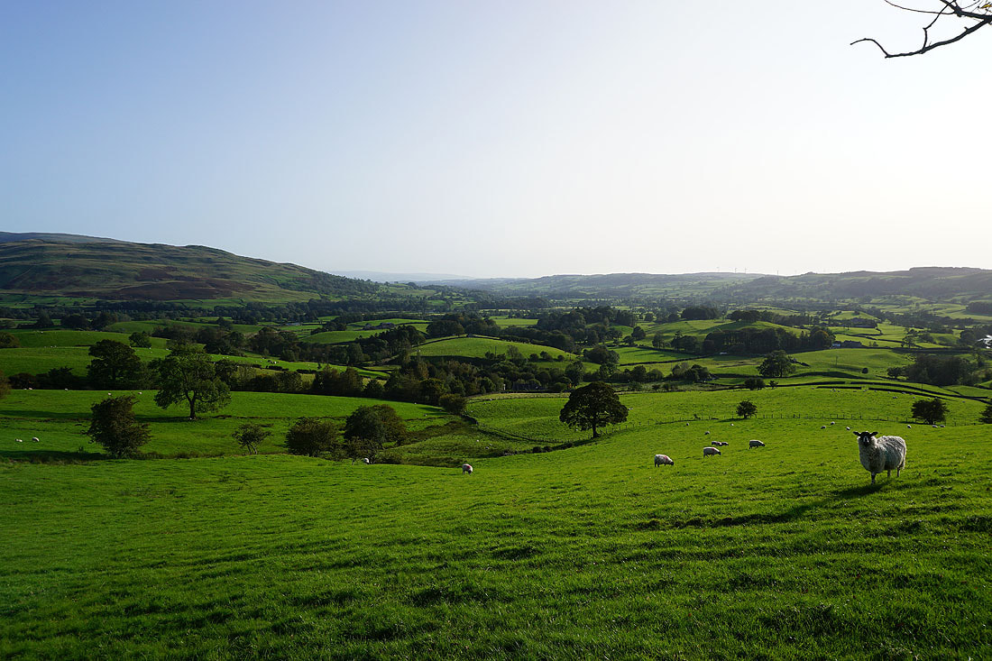
Lunesdale as I reach the outskirts of Sedbergh
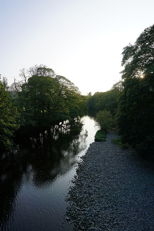
The River Rawthey from New Bridge as I make it back to the layby where I'm parked