17th September 2022 - Gragareth
Walk Details
Distance walked: 9.4 miles
Total ascent: 1973 ft
OS map used: OL2 - Yorkshire Dales, Southern & Western areas
Time taken: 6.5 hrs
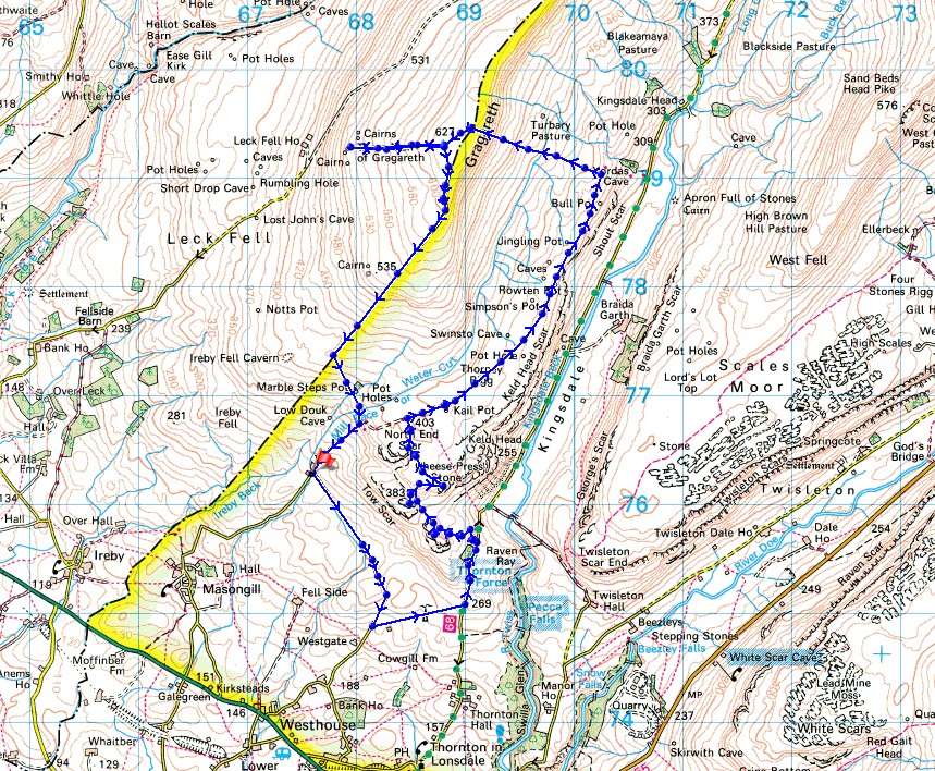
Route description: Masongill Fell Lane-Tow Scar Road-Westgate Lane-Thornton Lane-Hunt's Cross-Tow Scar-Cheese Press Stone-Low Plain-Turbary Road-Turbary Pasture-Gragareth-Three Men of Gragareth-Gragareth-Ireby Fell-Marble Steps Pot-Turbary Road-Masongill Fell Lane
For the day of the weekend with the best weather, and just like I did yesterday, I had a walk in the western part of the Yorkshire Dales. I decided to head for this area so that I could take in the great all round views to be had across Morecambe Bay to the Lake District, and to the neighbouring fells in the western part of the Dales. Although it had been just two years I'd last been on Gragareth I couldn't resist another visit given the weather forecast. It didn't disappoint as it turned out to be a lovely early autumn day for being on the fells, with blue skies, sunny spells, and excellent visibility. Like yesterday there was a cold northerly breeze that required a jacket for keeping out the chill.
From where I parked at the top of Masongill Fell Lane I walked down the track of Tow Scar Road to Westgate Lane, then up Westgate Lane to Thornton Lane, where I turned left and then walked along Thornton Lane into Kingsdale. I soon reached a public footpath on the left, which I took, then made my way southwest across the hillside to a track and a gate in a wall that let me reach the top of Hunt's Cross. After taking in the view I returned through the gate, followed the track west and then left it to visit the trig point on Tow Scar. From the trig point on Tow Scar I then made my way across the limestone pavement of Low Plain to the Cheese Press Stone. That found, I crossed Low Plain to reach the byway of Turbary Road. I followed this clear track north along the hillside above Kingsdale to its end on the hillside of Turbary Pasture above Yordas Wood (a patch of limestone pavement with a view of Braida Garth Farm provided a good place to stop for lunch). Time to head up. A fairly clear trod in the grass took me uphill by a wall to reach the summit wall on Gragareth, where a stile was crossed to reach the trig point on the other side of the fell. I went straight past the trig point though and down the hillside to visit the cairns of the Three Men of Gragareth. After having a break here and taking in the views I made my way back up to the trig point and south to the summit wall. At the wall corner at the top of Ireby Fell a stile was used to access this fellside so that I could make my way down Ireby Fell by the eastern side of its eastern boundary wall. About half way down I reached a path across the hillside past Marble Steps Pot (a path up the hillside let me visit Marble Steps Pot) which took me to the track of Turbary Road. I followed this downhill back to where I was parked at the top of Masongill Fell Lane.
Total ascent: 1973 ft
OS map used: OL2 - Yorkshire Dales, Southern & Western areas
Time taken: 6.5 hrs
Route description: Masongill Fell Lane-Tow Scar Road-Westgate Lane-Thornton Lane-Hunt's Cross-Tow Scar-Cheese Press Stone-Low Plain-Turbary Road-Turbary Pasture-Gragareth-Three Men of Gragareth-Gragareth-Ireby Fell-Marble Steps Pot-Turbary Road-Masongill Fell Lane
For the day of the weekend with the best weather, and just like I did yesterday, I had a walk in the western part of the Yorkshire Dales. I decided to head for this area so that I could take in the great all round views to be had across Morecambe Bay to the Lake District, and to the neighbouring fells in the western part of the Dales. Although it had been just two years I'd last been on Gragareth I couldn't resist another visit given the weather forecast. It didn't disappoint as it turned out to be a lovely early autumn day for being on the fells, with blue skies, sunny spells, and excellent visibility. Like yesterday there was a cold northerly breeze that required a jacket for keeping out the chill.
From where I parked at the top of Masongill Fell Lane I walked down the track of Tow Scar Road to Westgate Lane, then up Westgate Lane to Thornton Lane, where I turned left and then walked along Thornton Lane into Kingsdale. I soon reached a public footpath on the left, which I took, then made my way southwest across the hillside to a track and a gate in a wall that let me reach the top of Hunt's Cross. After taking in the view I returned through the gate, followed the track west and then left it to visit the trig point on Tow Scar. From the trig point on Tow Scar I then made my way across the limestone pavement of Low Plain to the Cheese Press Stone. That found, I crossed Low Plain to reach the byway of Turbary Road. I followed this clear track north along the hillside above Kingsdale to its end on the hillside of Turbary Pasture above Yordas Wood (a patch of limestone pavement with a view of Braida Garth Farm provided a good place to stop for lunch). Time to head up. A fairly clear trod in the grass took me uphill by a wall to reach the summit wall on Gragareth, where a stile was crossed to reach the trig point on the other side of the fell. I went straight past the trig point though and down the hillside to visit the cairns of the Three Men of Gragareth. After having a break here and taking in the views I made my way back up to the trig point and south to the summit wall. At the wall corner at the top of Ireby Fell a stile was used to access this fellside so that I could make my way down Ireby Fell by the eastern side of its eastern boundary wall. About half way down I reached a path across the hillside past Marble Steps Pot (a path up the hillside let me visit Marble Steps Pot) which took me to the track of Turbary Road. I followed this downhill back to where I was parked at the top of Masongill Fell Lane.
Route map
© Crown copyright. All rights reserved. License number PU 100034184.
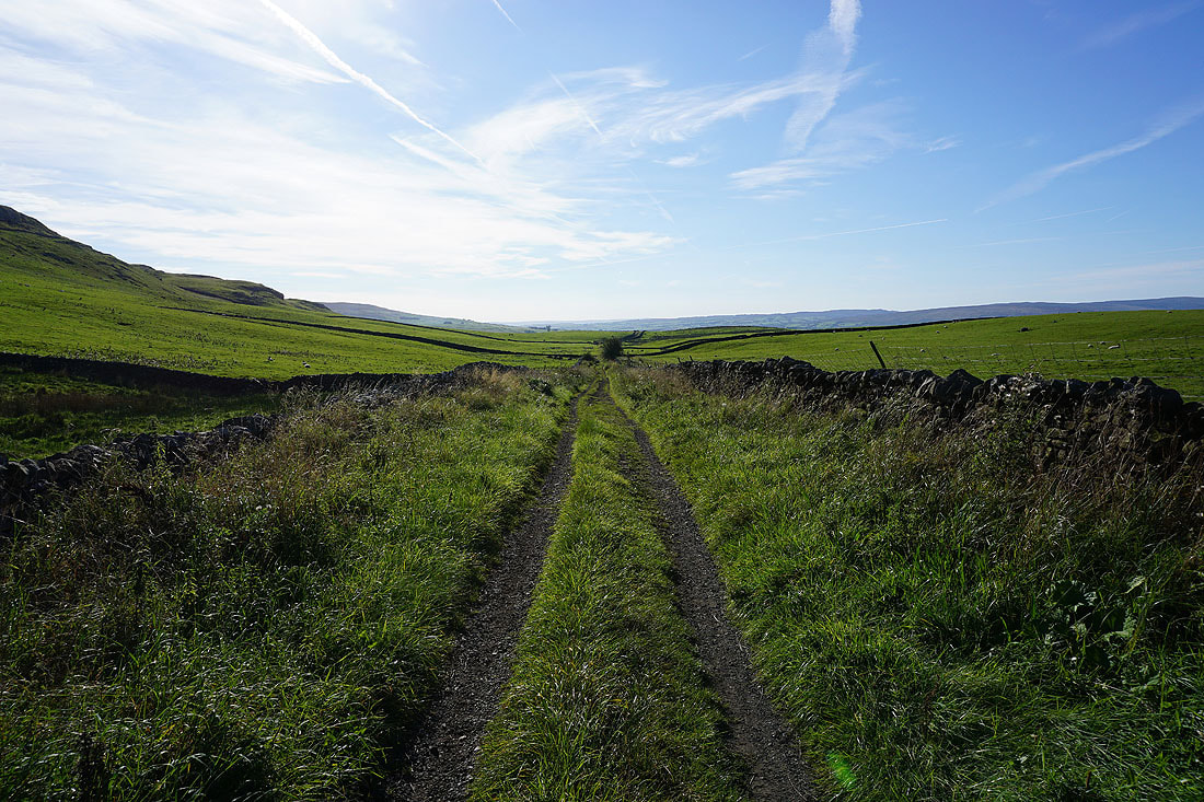
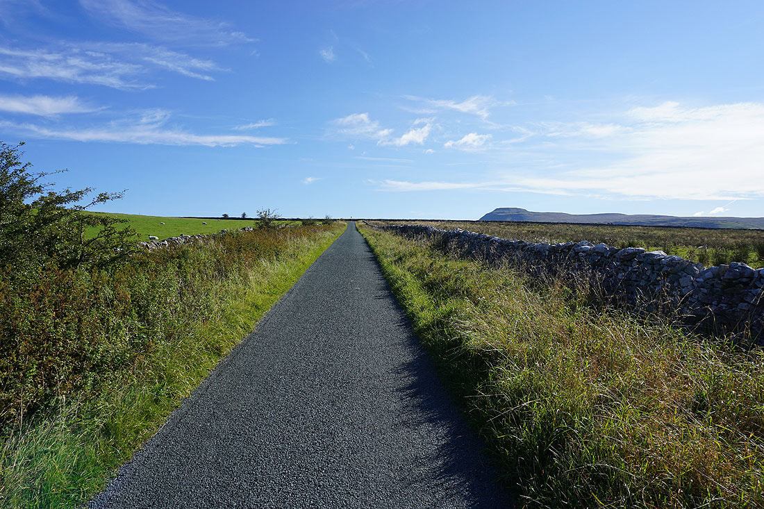
Setting off along Tow Scar Road
Looking back along Tow Scar Road
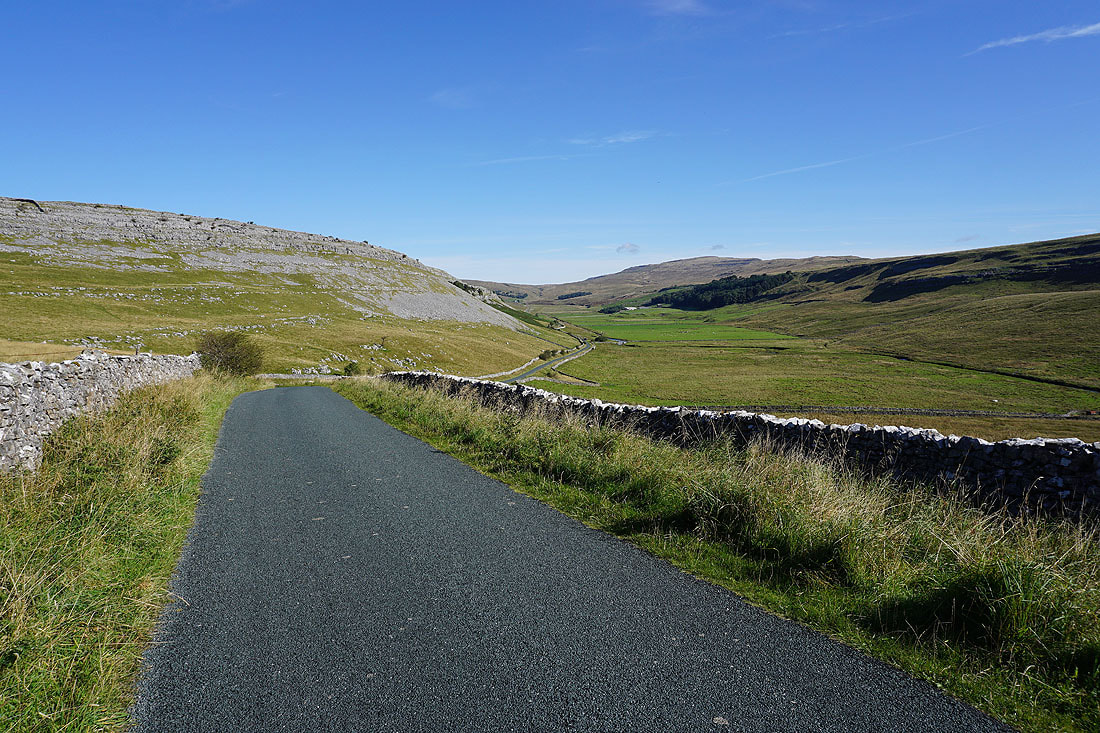
The Forest of Bowland in the distance as Tow Scar Road heads down to meet Westgate Lane
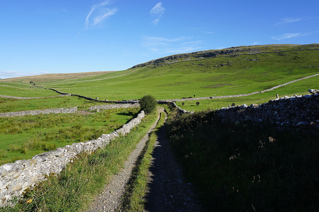
Heading up Westgate Lane to Thornton Lane
Kingsdale and Whernside from Thornton Lane
I leave Thornton Lane through a gate and take a path towards Hunt's Cross and Tow Scar
Tow Scar and North End Scar from Hunt's Cross
The Forest of Bowland in the distance from Hunt's Cross
Ingleborough behind Twisleton Scar End as I head up onto Tow Scar
At the trig point on Tow Scar
Ingleton with the fells of the Forest of Bowland in the distance
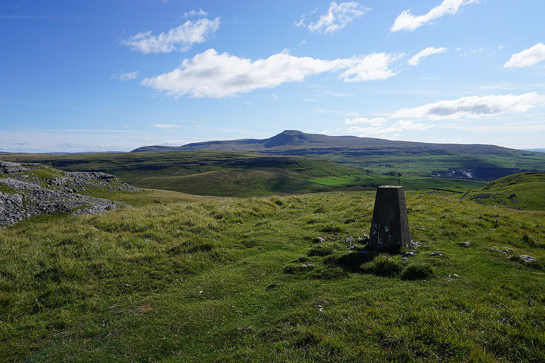
Ingleborough from Tow Scar

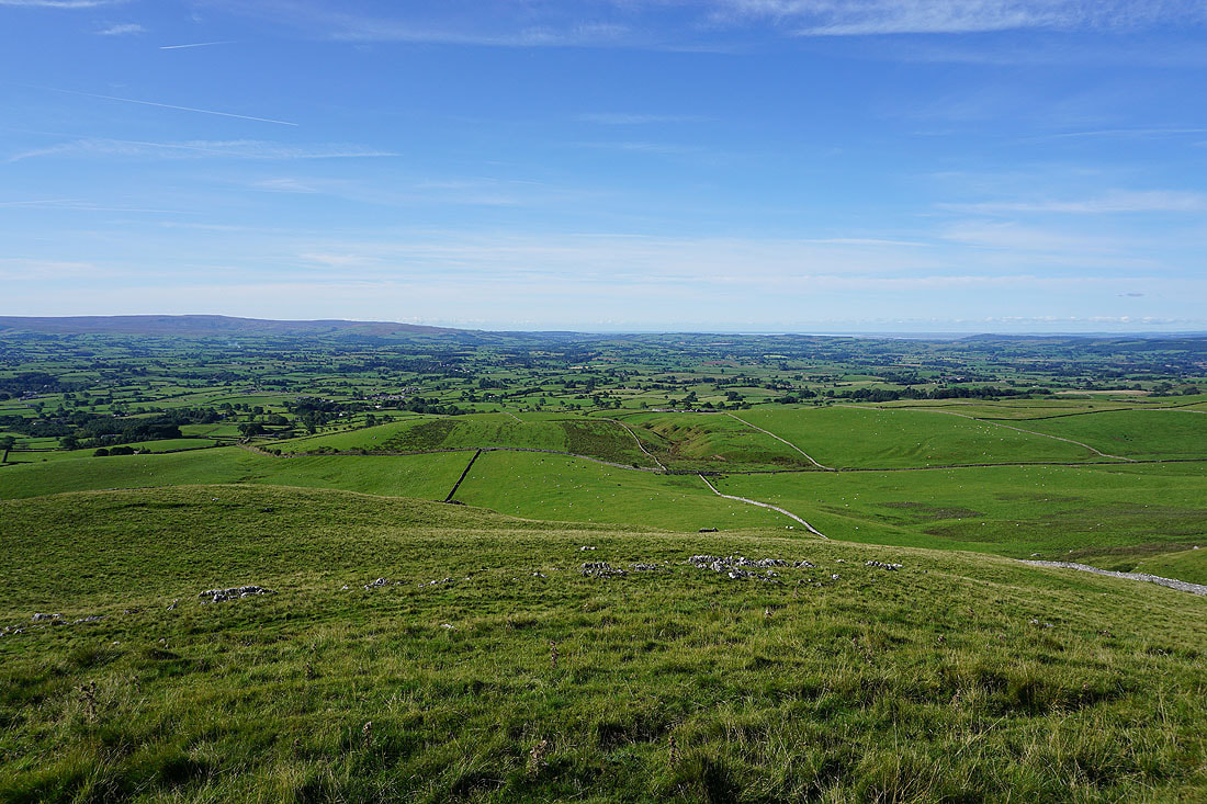
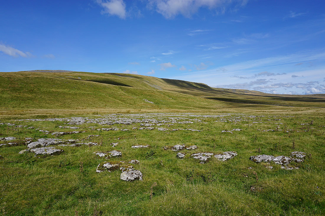
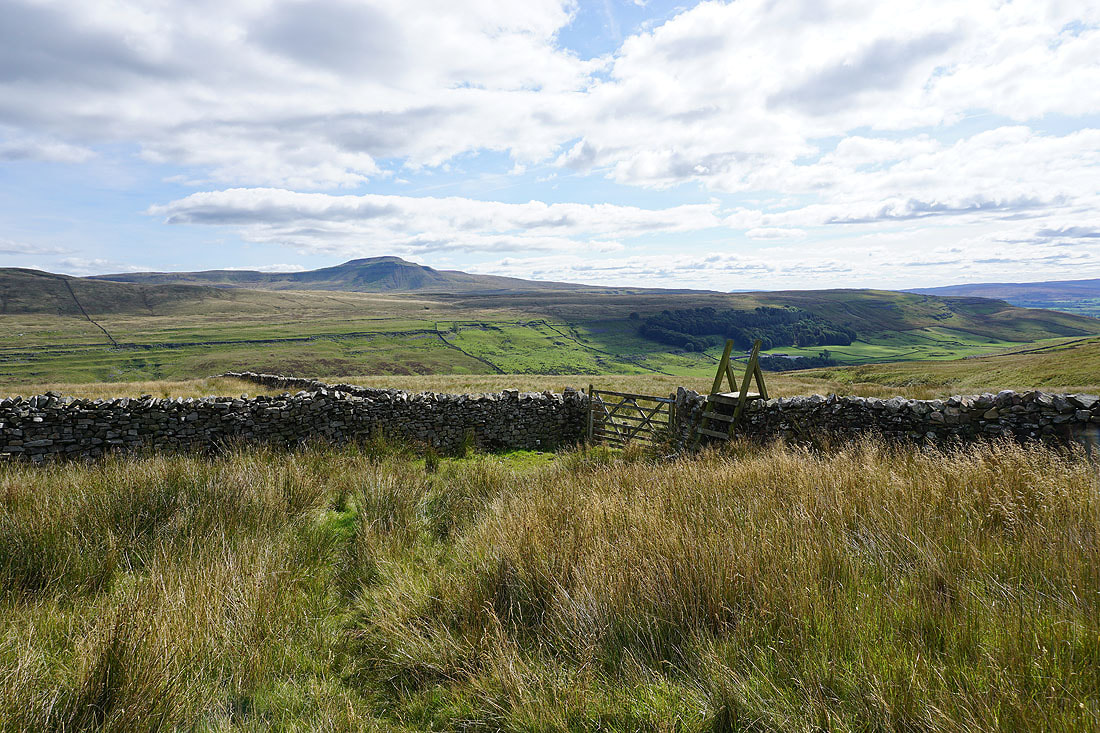
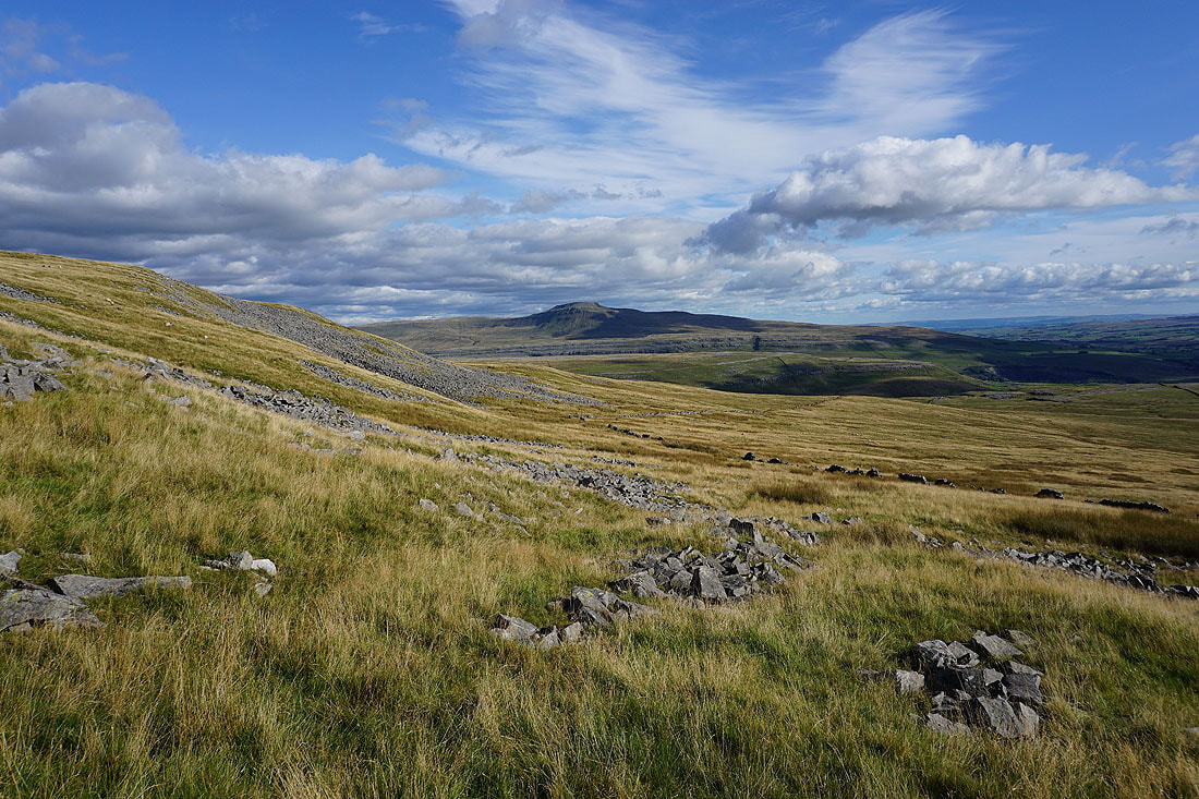
On the way from Tow Scar to Turbary Road and I had to make a diversion to the Cheese Press Stone, and its view to Ingleborough
Looking to the southern slopes of Gragareth as I cross the moorland to the north of Tow Scar
and to my left I can make out Morecambe Bay and the southern fells in the Lakes
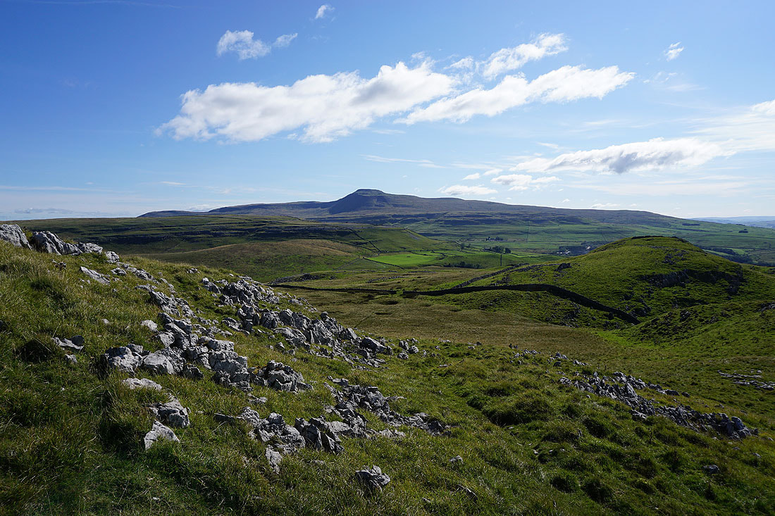
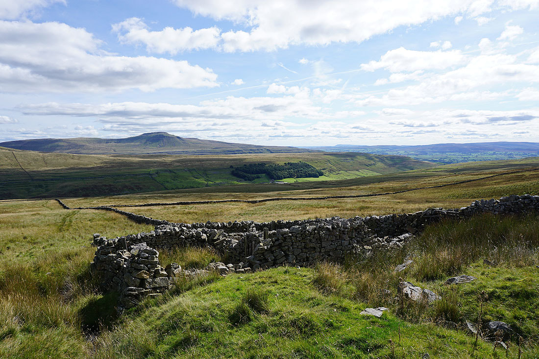
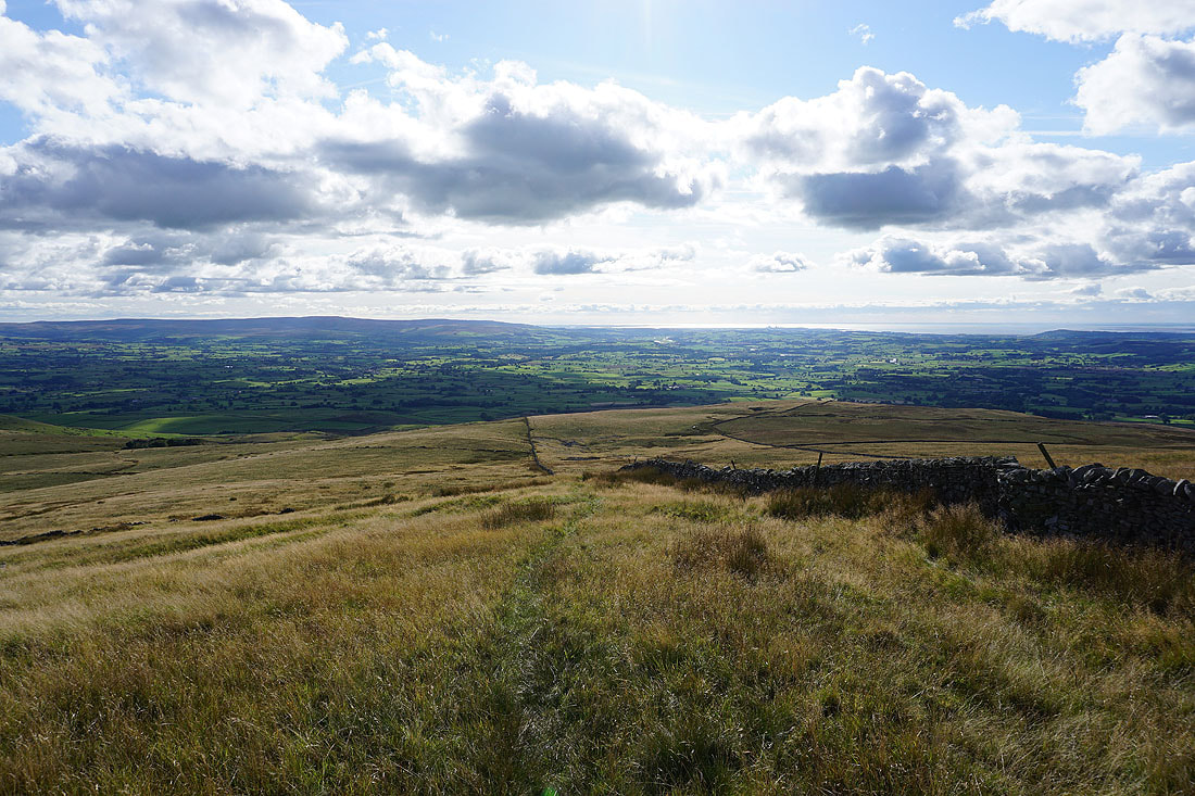
Onto the track of Turbary Road, which gives me views across Kingsdale to Whernside and the southern slopes of Gragareth...
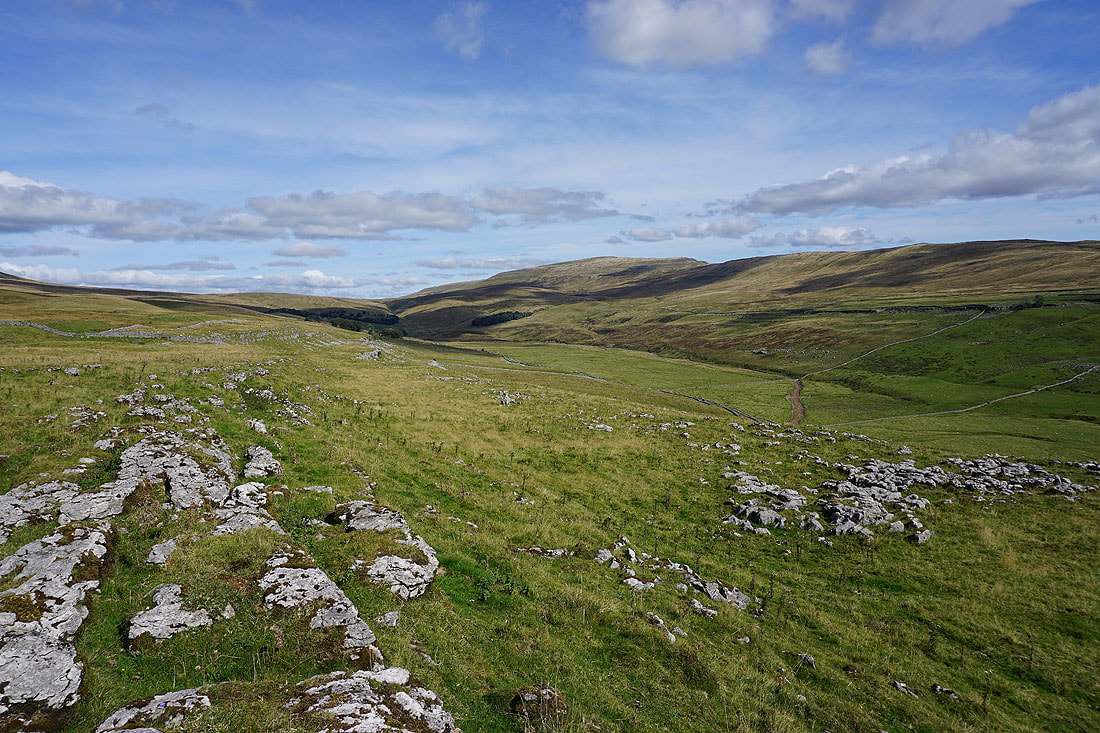
My lunch stop on Green Laids Scar gives me a view across Kingsdale to Whernside
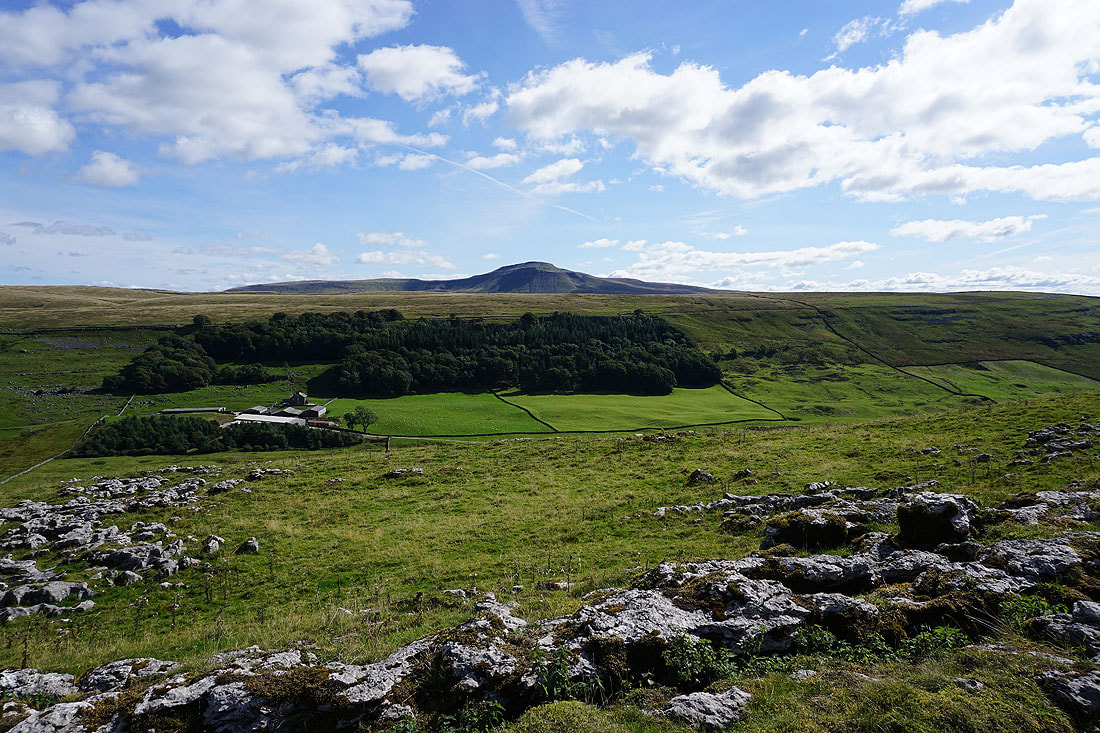
and of Braida Garth Farm down in Kingsdale, with Ingleborough above Ewes Top
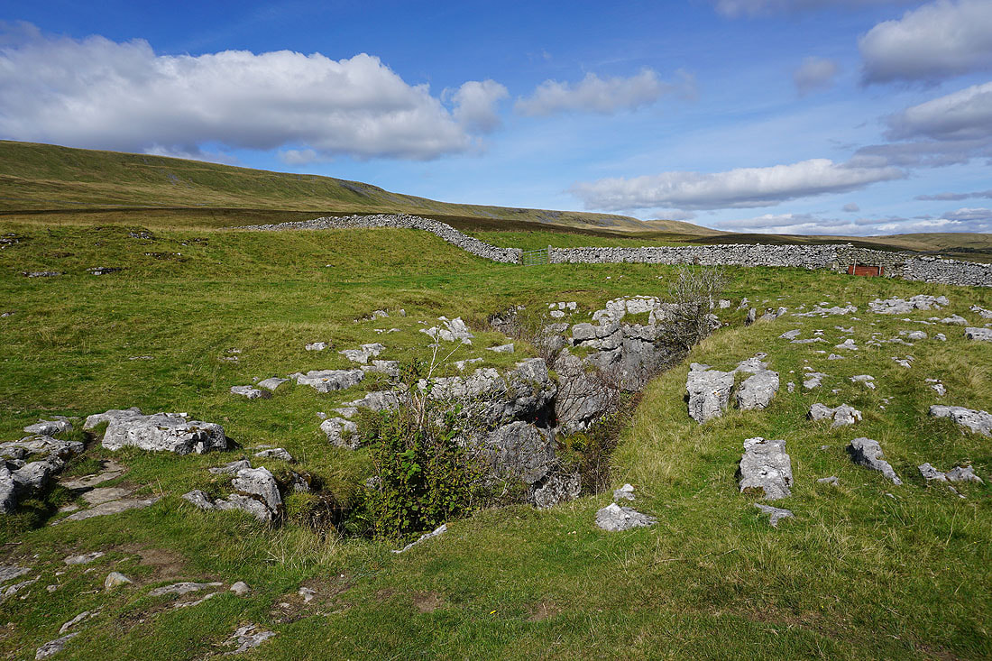
Next to the big hole in the ground that is Rowten Pot..
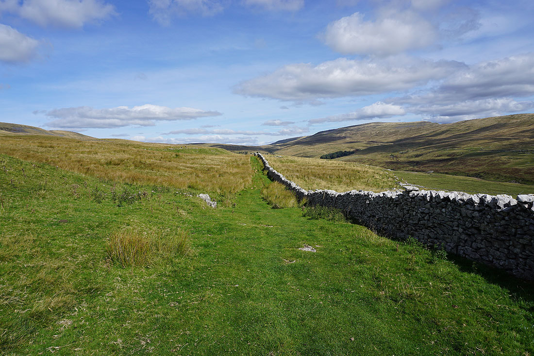
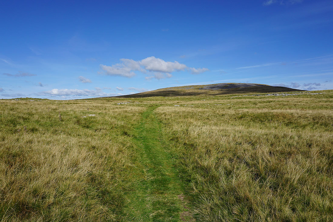
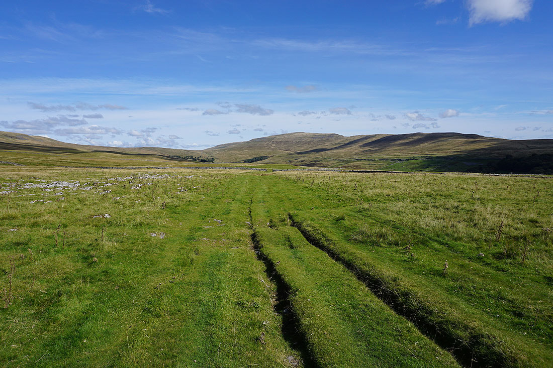
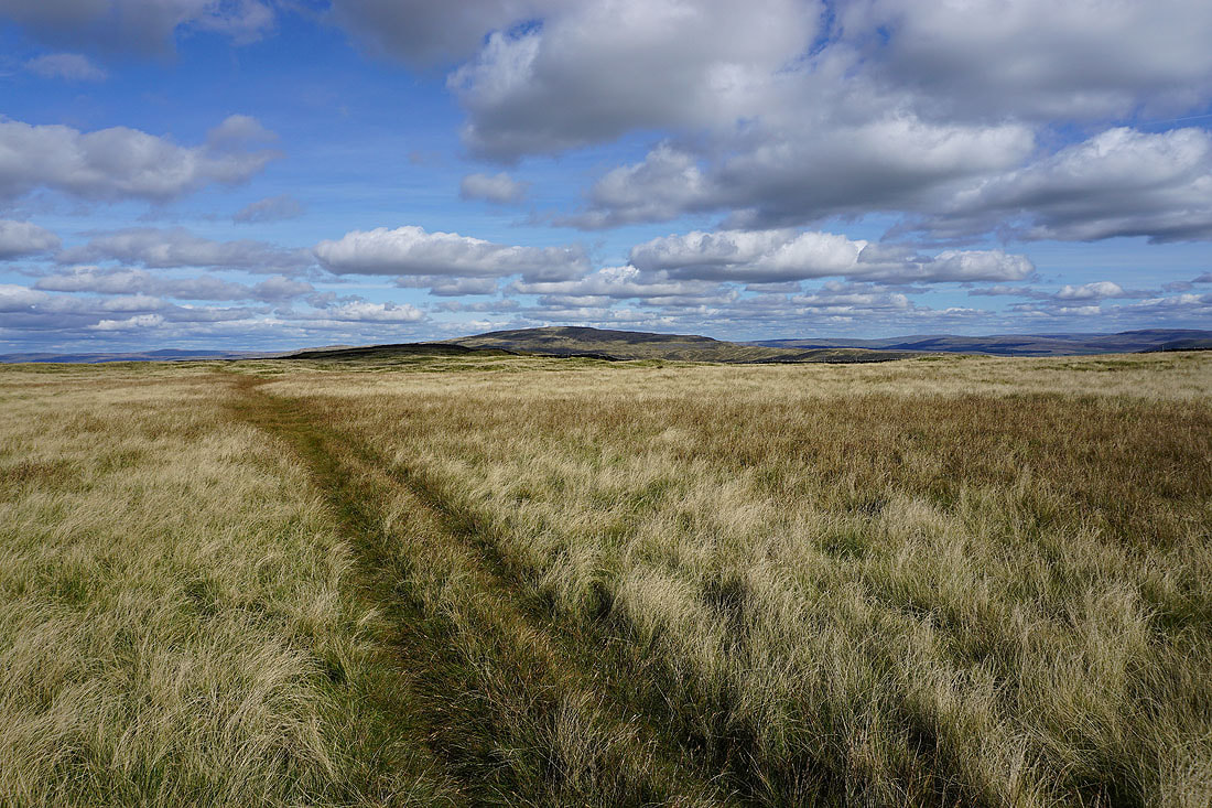
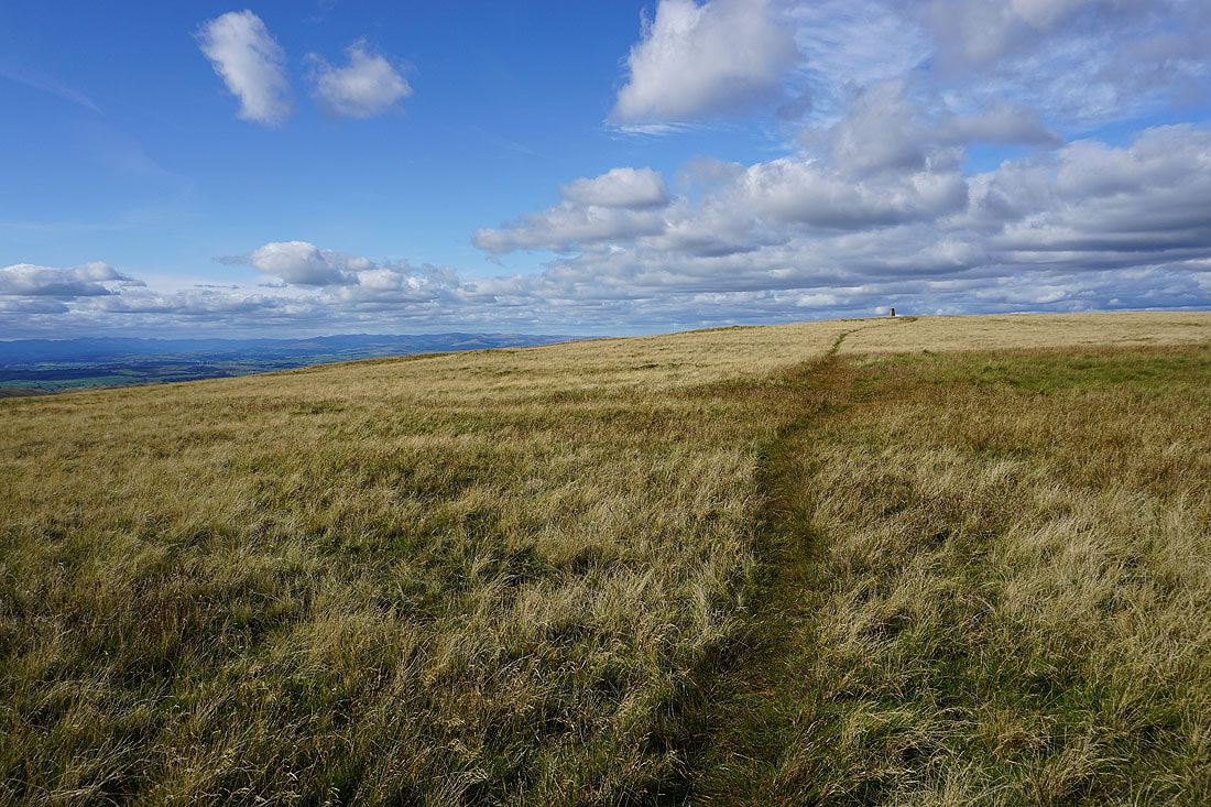
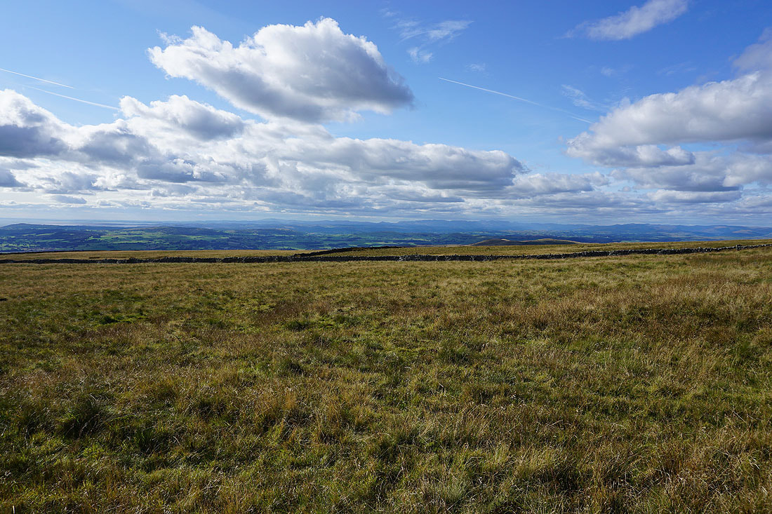
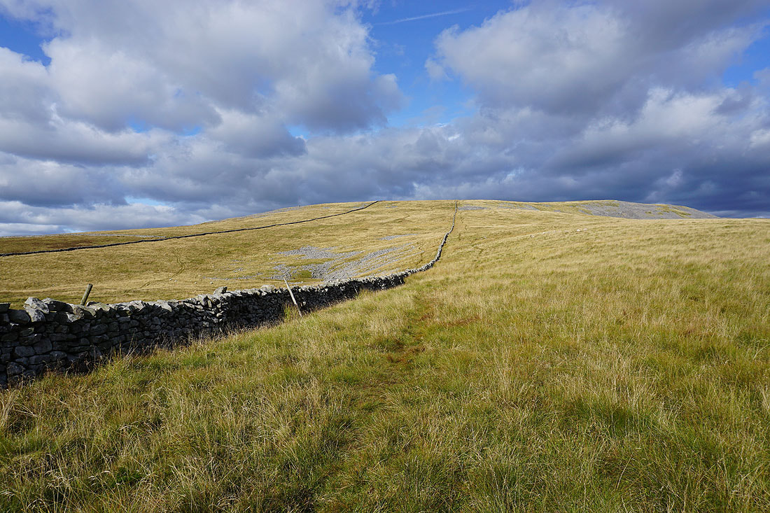
Heading north along Turbary Road
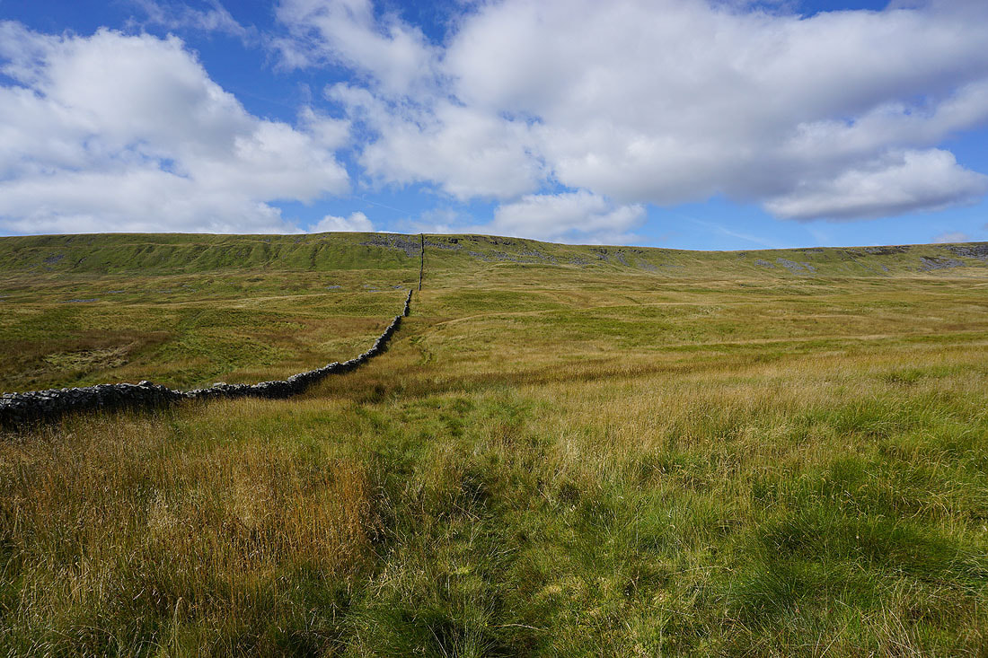
At the end of Turbary Road, and I'll follow the wall up the hillside to Gragareth
Before I head uphill, a look across Kingsdale to Ingleborough
and again, as I pause half way up at the sheepfold that's on the map
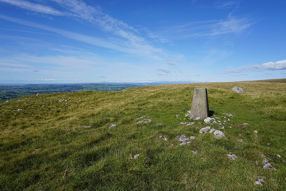
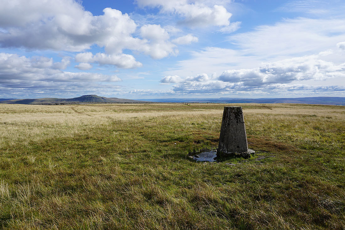
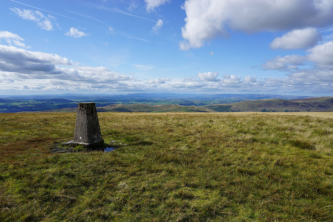
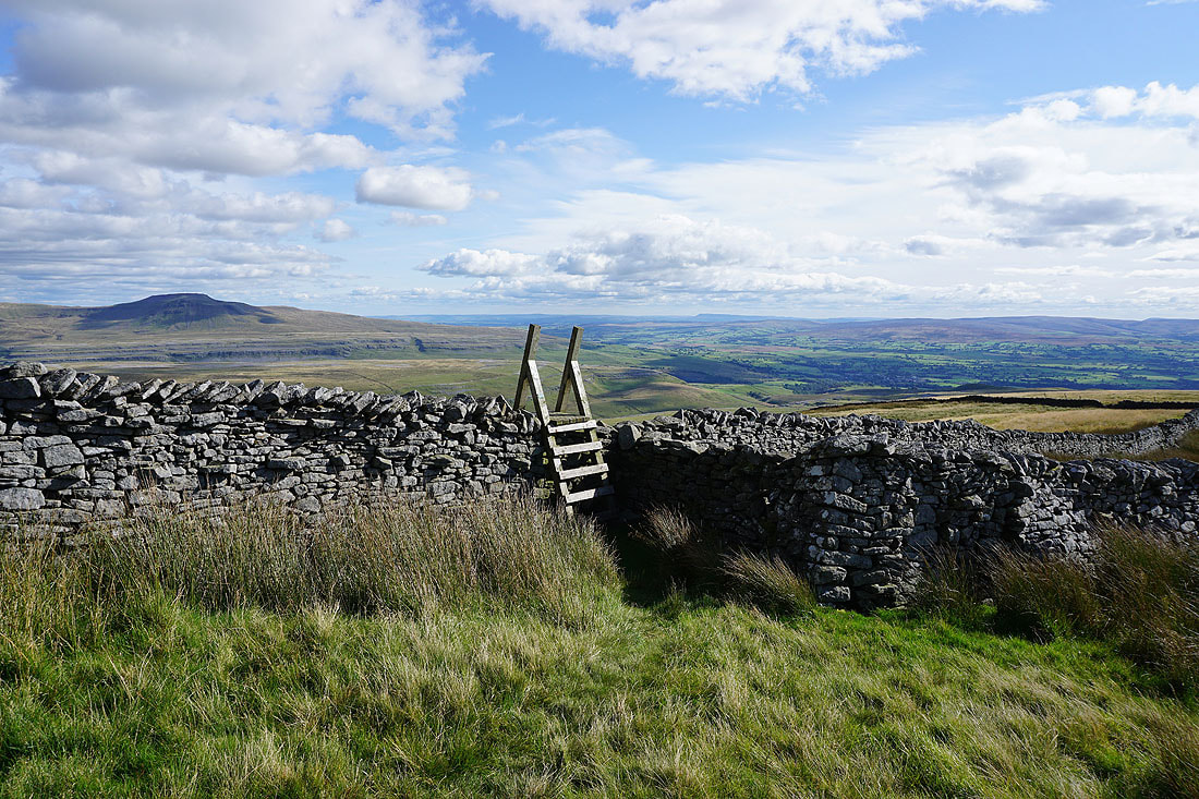
I need to use the stile to cross the wall and visit the trig point on Gragareth
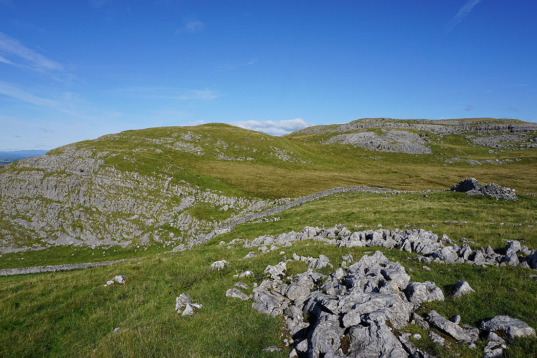
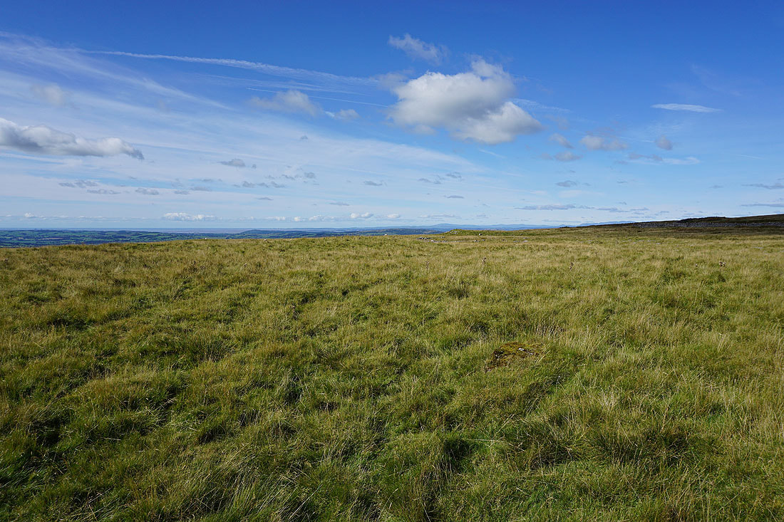
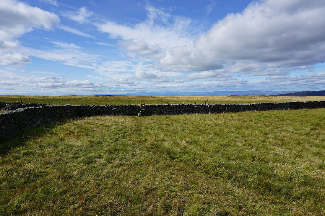
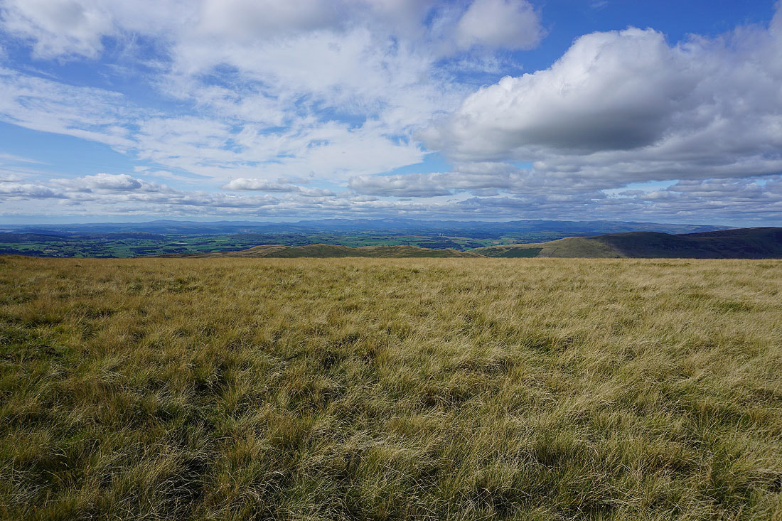
An extensive view opens up with the moorland ridge heading north to Great Coum
and across the head of Kingsdale to Whernside
The fantastic view of the Lake District fells in the distance to the northwest as I reach the trig point on Gragareth..
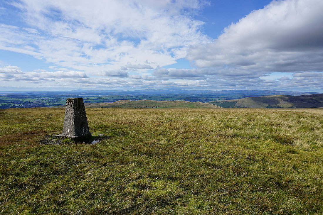
Morecambe Bay to the west
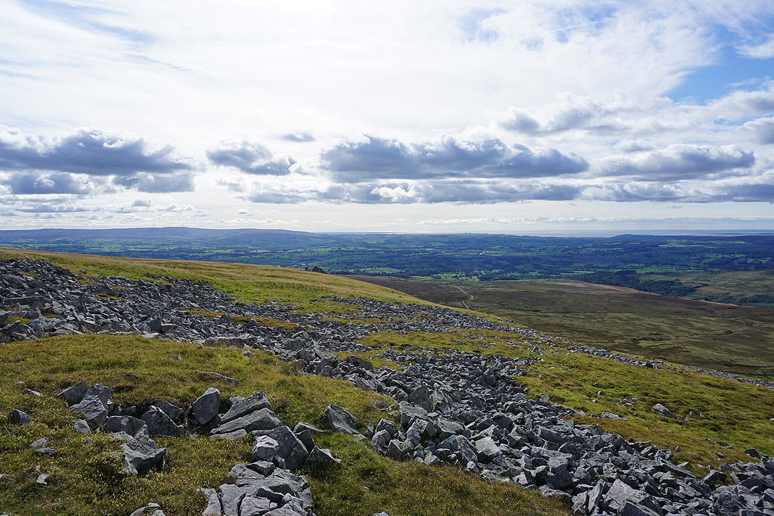
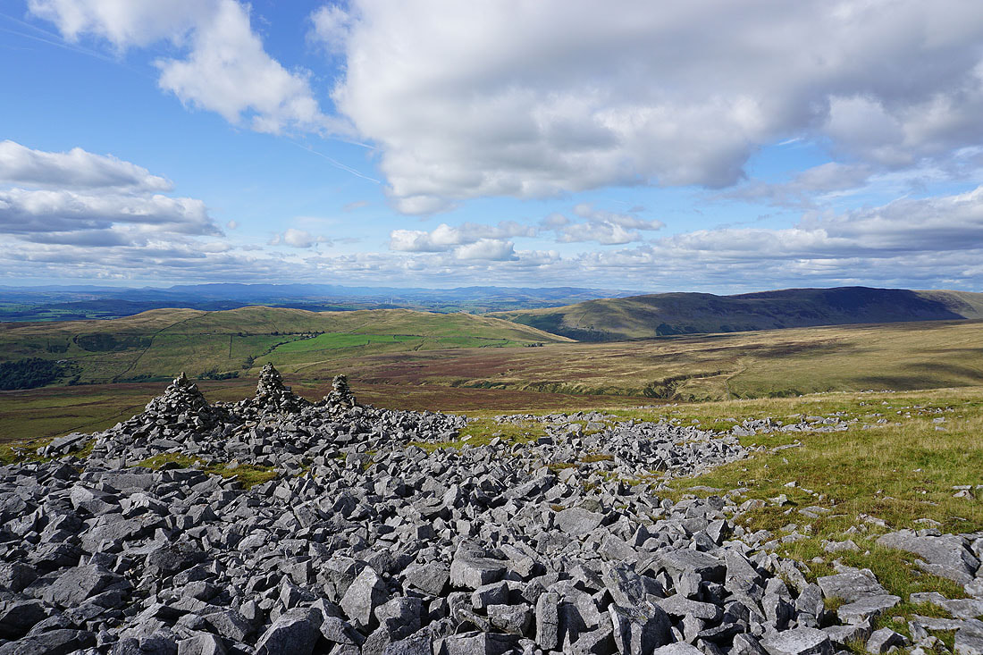
I've left the trig point and made my way down the hillside to the cairns of the Three Men of Gragareth. It's a great place to stop for a break and take in the view. Starting with looking down the valley of the River Lune to Morecambe Bay.
The Lake District fells in the distance beyond the nearby Barbon Low Fell..
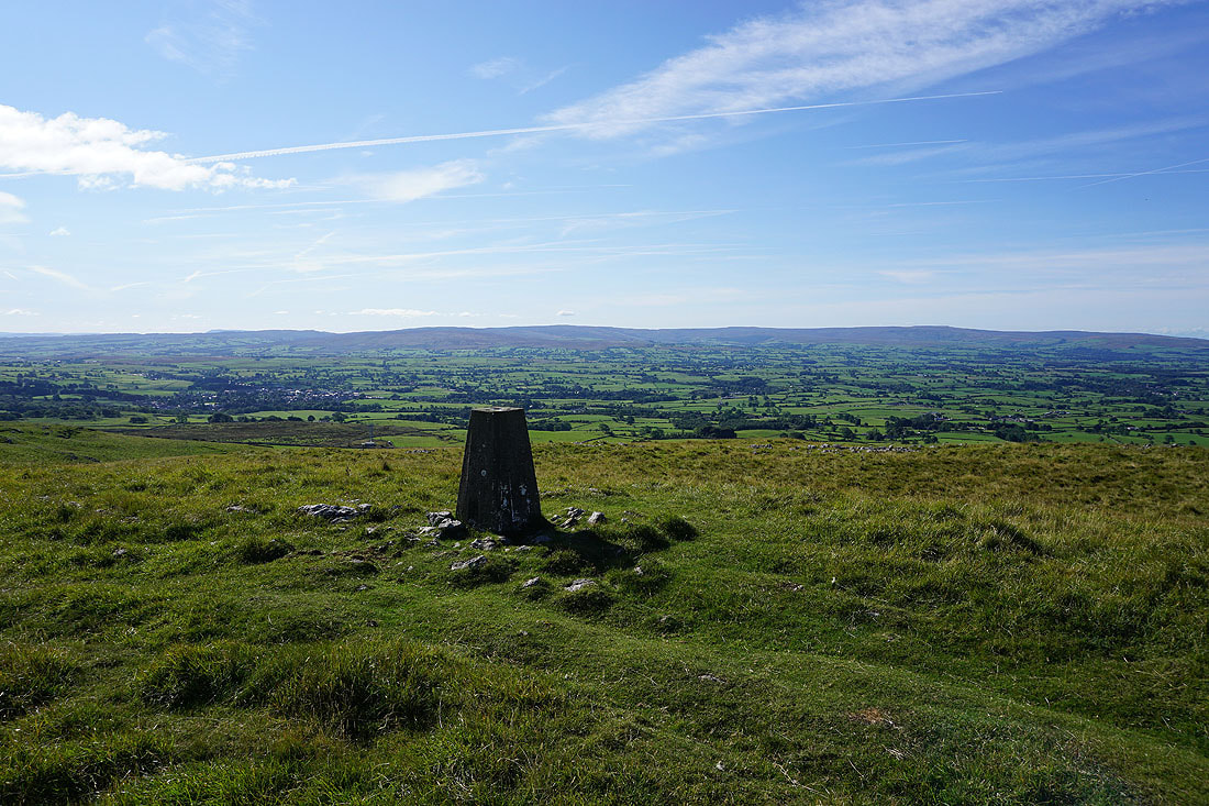
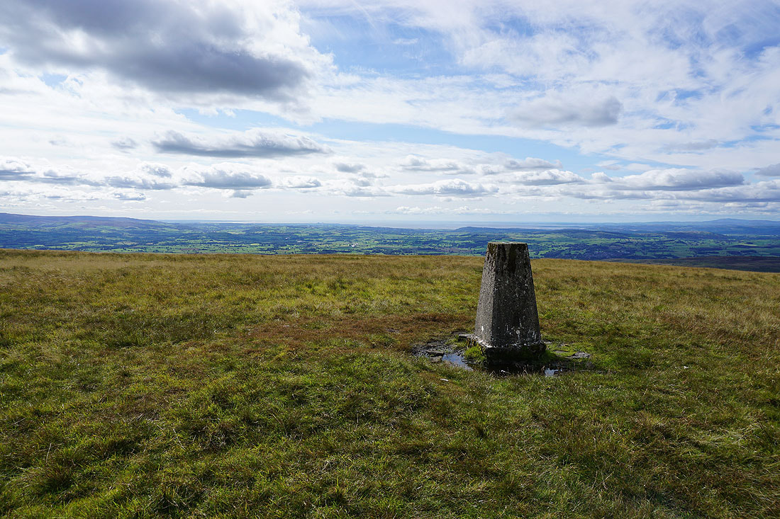
Back up at the trig point, and I think it's worth taking a few photos before I head down. Ingleborough, and a distant Pendle Hill can be made out just above it.
The Lake District fells in the distance beyond Barbon Low Fell..
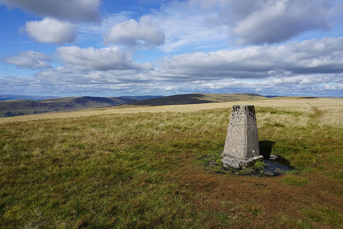
Middleton Fell, the Howgills, Crag Hill and Great Coum
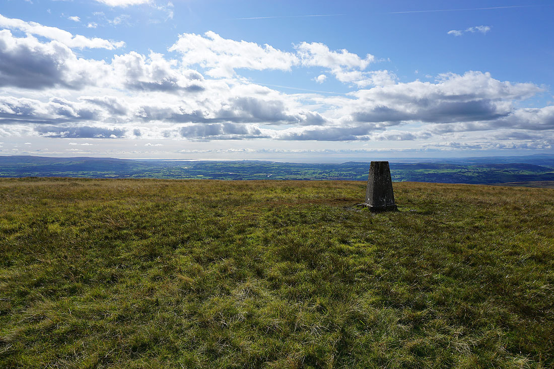
Morecambe Bay to the west
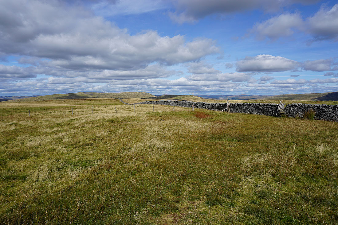
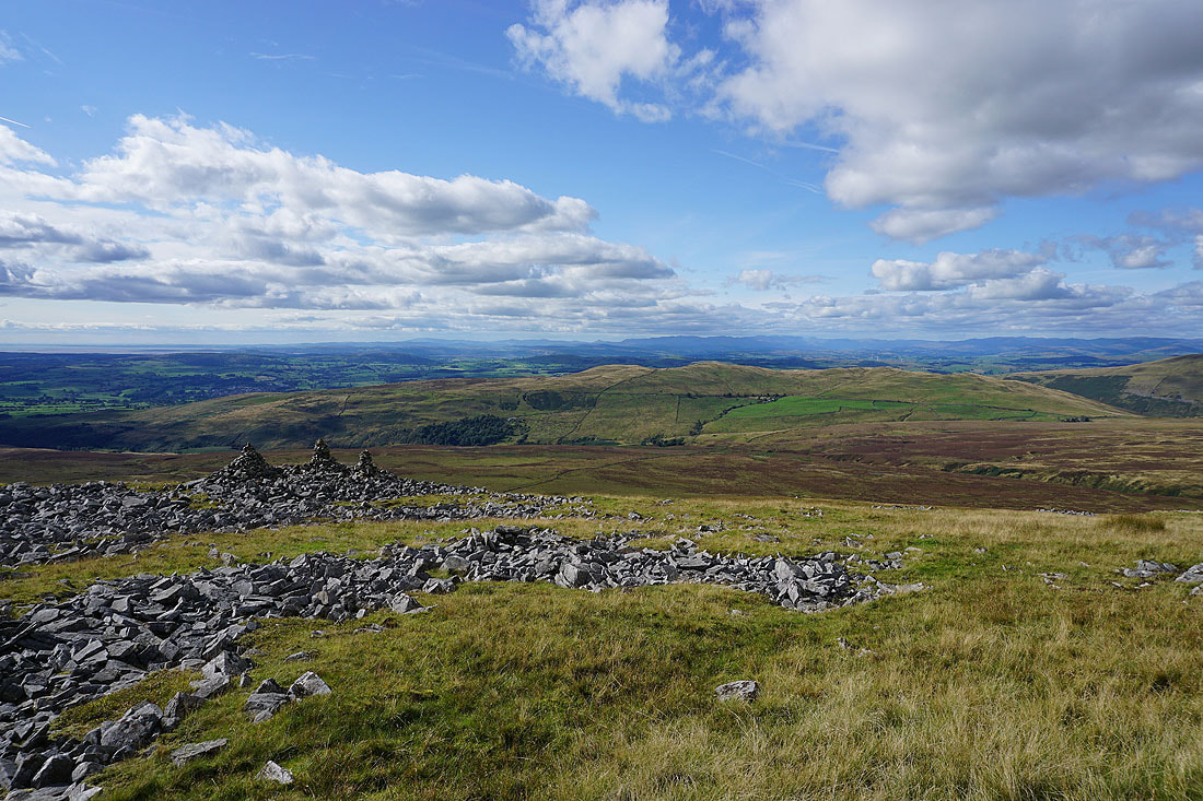
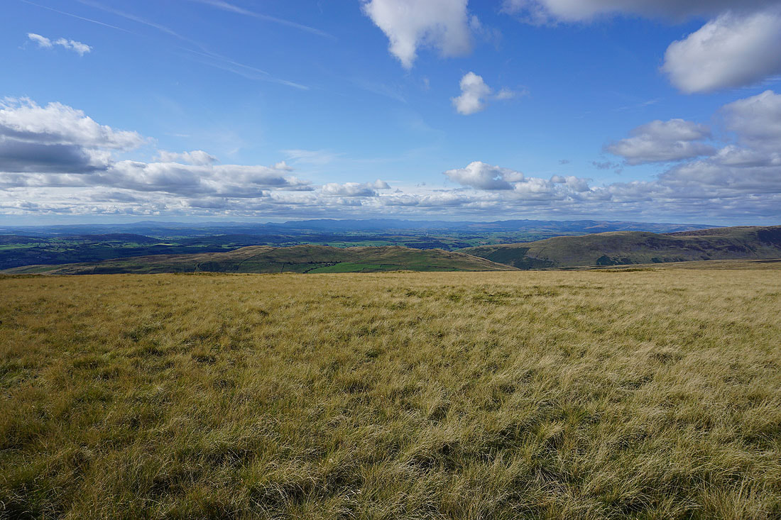
Looking back to the trig point as I leave it behind..
..to follow the wall down Gragareth's south ridge
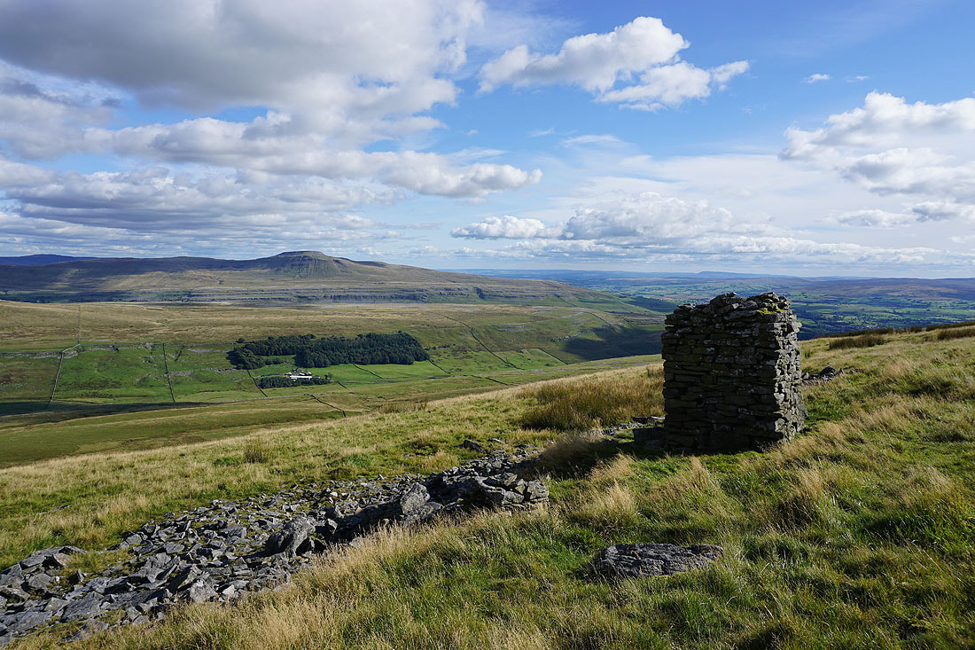
This stone pillar at the top of the slope up from Kingsdale has a great view across to Ingleborough..
..and of Whernside above the head of Kingsdale
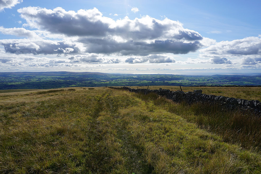
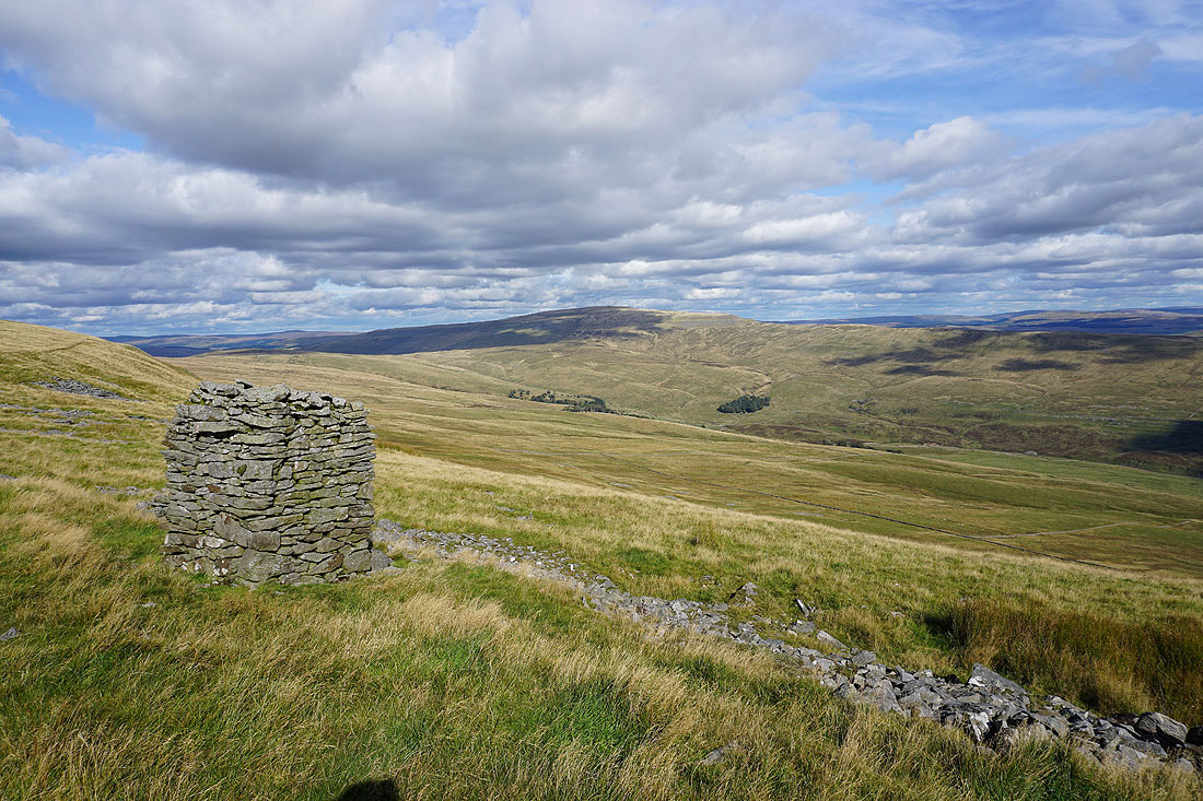
As I follow the wall downhill I have a view of the northern fells of the Forest of Bowland and Morecambe Bay in front of me, and to my right over the wall, the Lake District fells in the distance...
Lower down and Ingleborough appears to my left
Looking back up the broad slopes of Gragareth
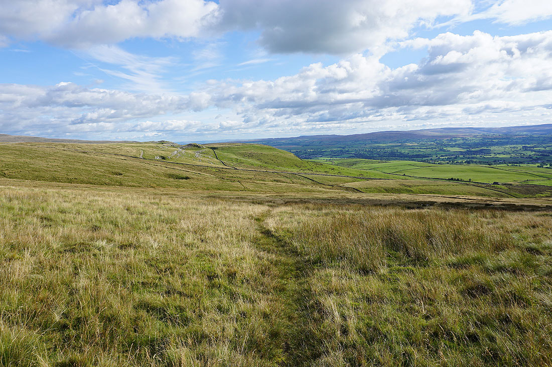
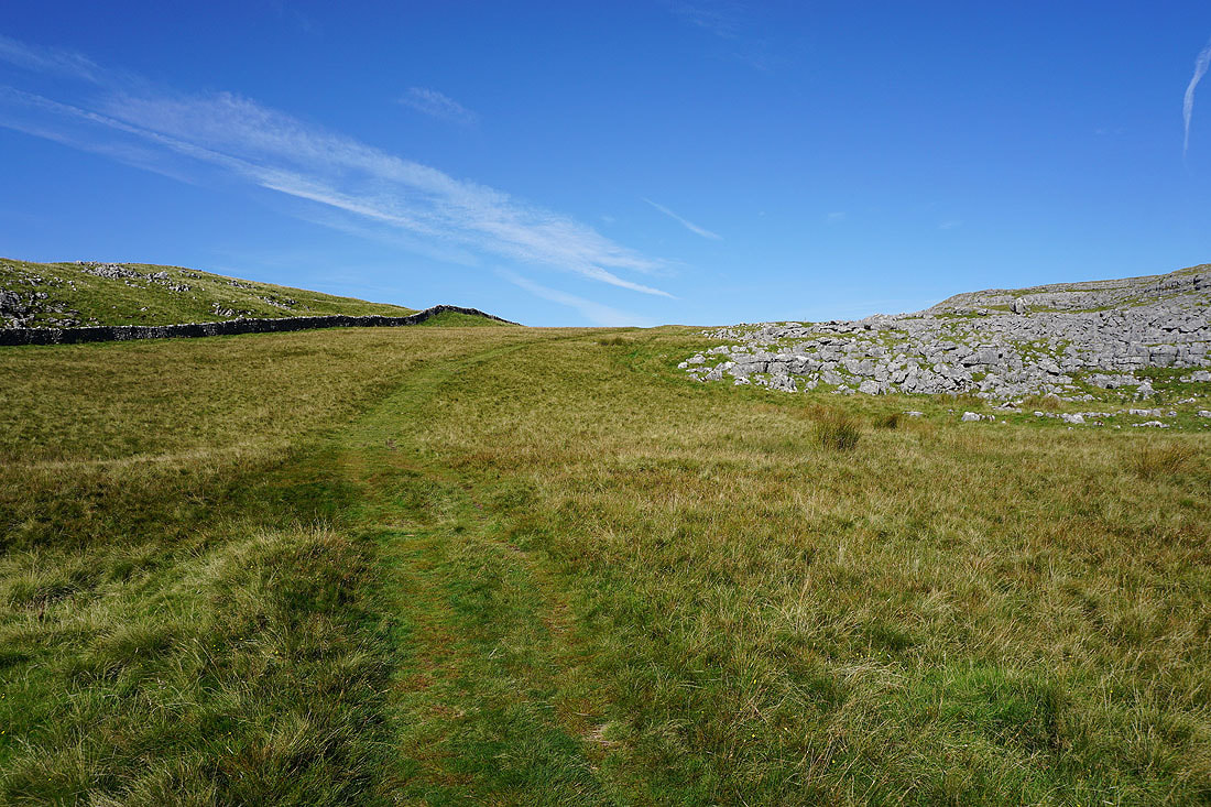
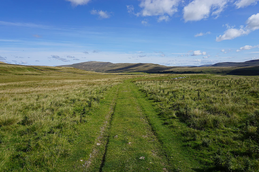
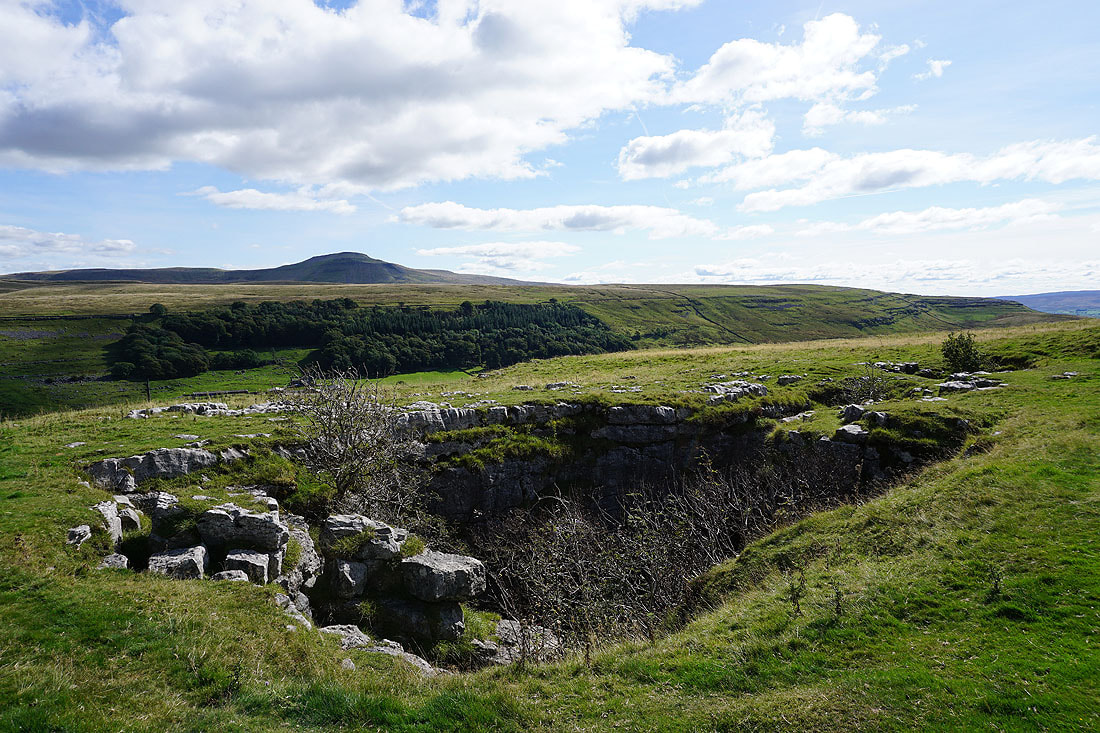
Following the path across the moor to Turbary Road, but first I'll pay a visit to Marble Steps Pot, which is in a stand of trees just of shot on the left
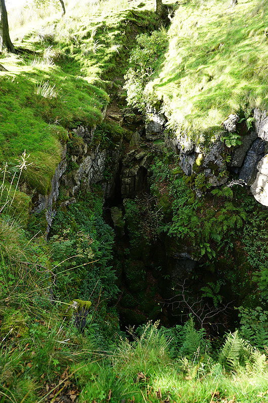
Marble Steps Pot
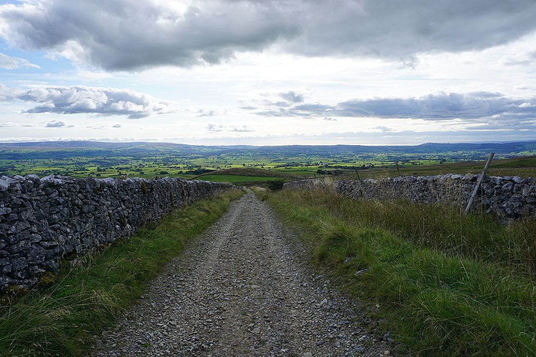
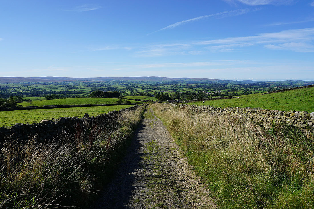
A short walk down the track of Turbary Road and I'll be back to where I parked at the top of Masongill Fell Lane