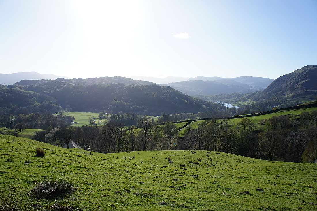
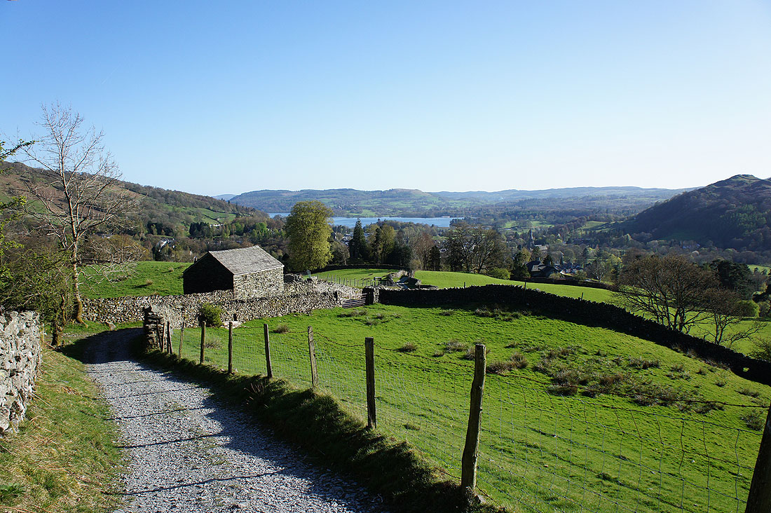
18th April 2014 - A Scandale Horseshoe & a bit more
Walk Details
Distance walked: 12.2 miles
Total ascent: 4534 ft
OS map used: OL5 - The English Lakes, Northeastern area & OL7 - The English Lakes, Southeastern area
Time taken: 8.5 hrs
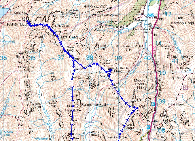
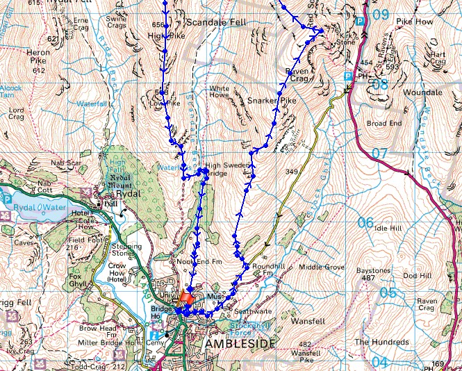
Route description: Ambleside-Kirkstone Road-Snarker Pike-Red Screes-Scandale Pass-Scandale Tarn-Little Hart Crag-Dove Crag-Hart Crag-Fairfield-Hart Crag-Dove Crag-High Pike-Low Pike-High Sweden Bridge-Kirkstone Road-Ambleside
A walk in the Lakes on a fine day during the Easter break? I do prefer some peace and quiet when I'm out but the weather today was too good not to brave the crowds. An early start to fit in the route I had planned, Red Screes and Little Hart Crag are summits I've not visited for several years now and I've never walked along the south ridge of Red Screes.
From Ambleside I had to walk up the Kirkstone Road for a while to reach the footpath that heads up the south ridge of Red Screes. After visiting the summit of Red Screes I crossed the Scandale Pass to Little Hart Crag and then onto Dove Crag. I didn't pause though and kept going over Hart Crag to the high point of the walk, Fairfield. For my route back to Ambleside I retraced my steps over Hart Crag and Dove Crag before heading down over High Pike and Low Pike. After crossing High Sweden Bridge I followed the track down Scandale to the Kirkstone Road and Ambleside.
Route map
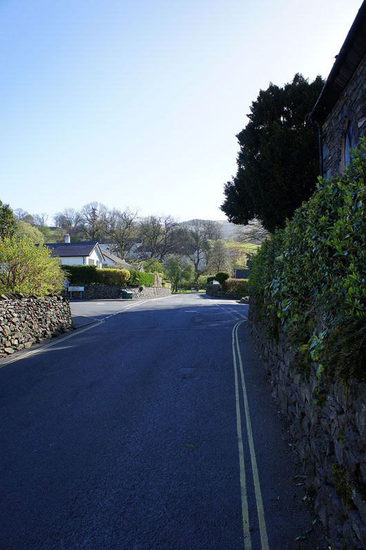
Setting off from Ambleside and I'm walking up the Kirkstone road to reach the path that heads up the south ridge of Red Screes. At least at this time of the morning it's quiet.
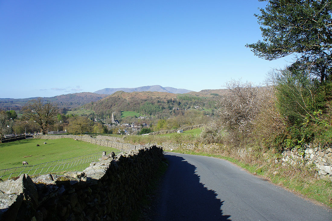
Looking back down to Ambleside with Wetherlam peeping over the top of Loughrigg Fell
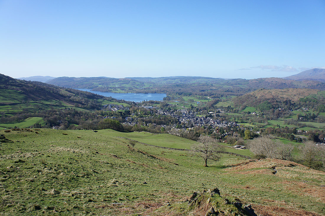
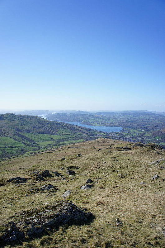
Grass underfoot at last and there's a nice view of Windermere and Ambleside
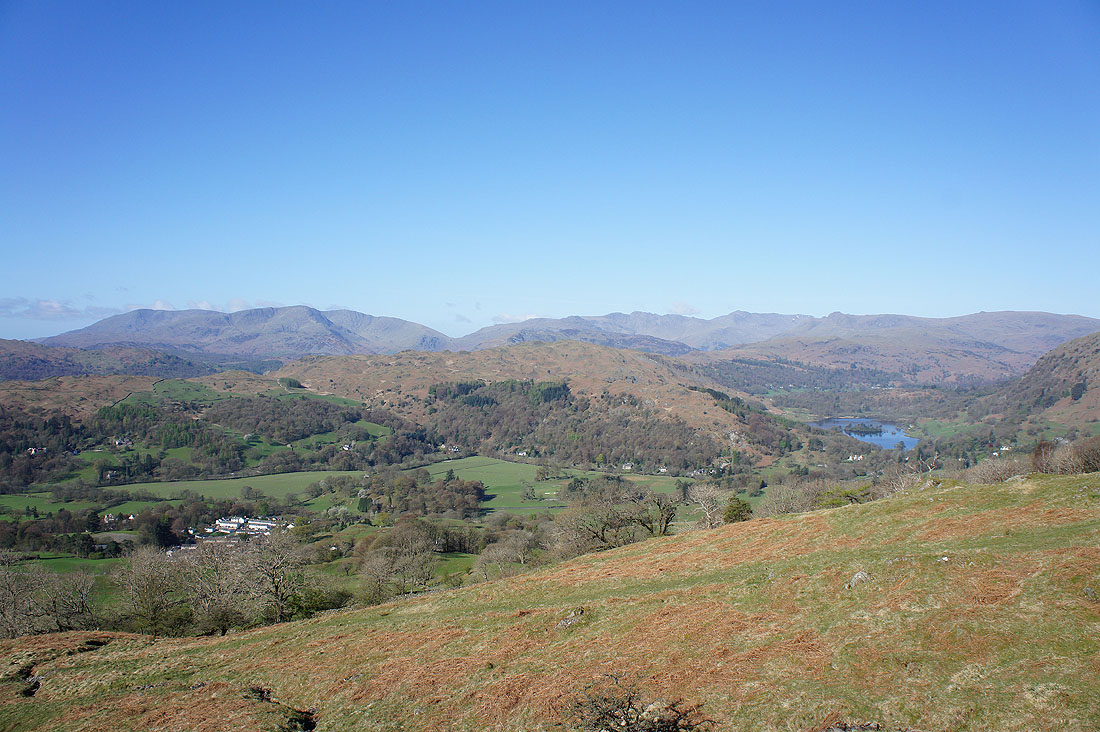
as well as the Coniston fells, Loughrigg Fell, the Crinkle Crags, Bowfell and the Langdale Pikes
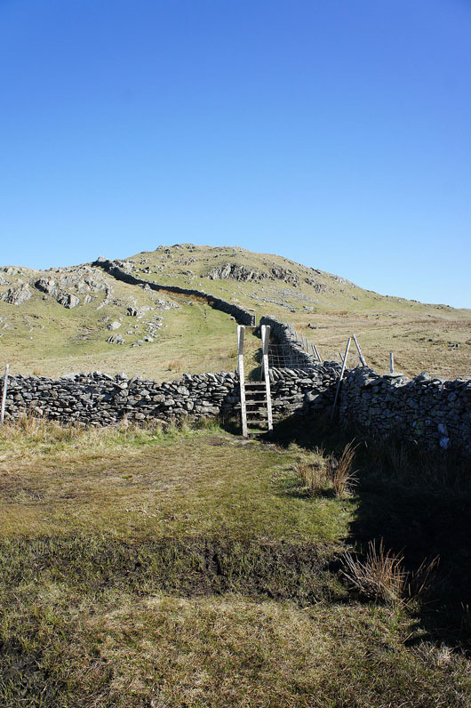
Onwards and upwards
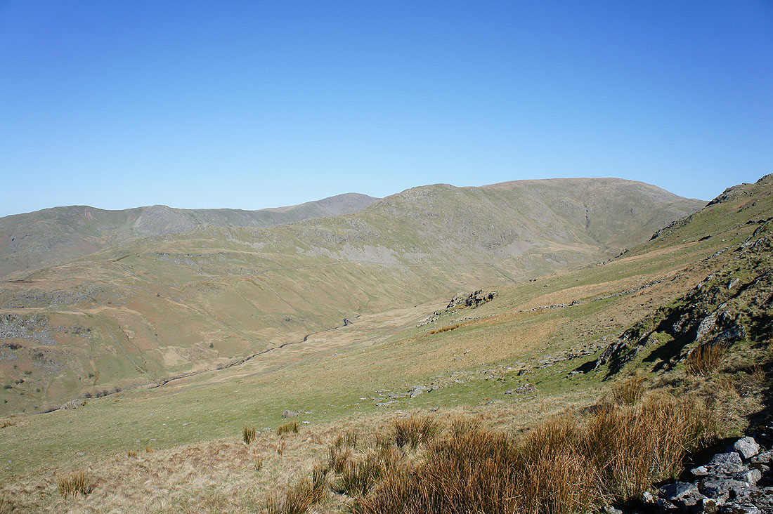
On the other side of Scandale are Low Pike, High Pike and Dove Crag; my route of return
Improving views of Windermere as height is gained
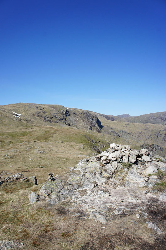
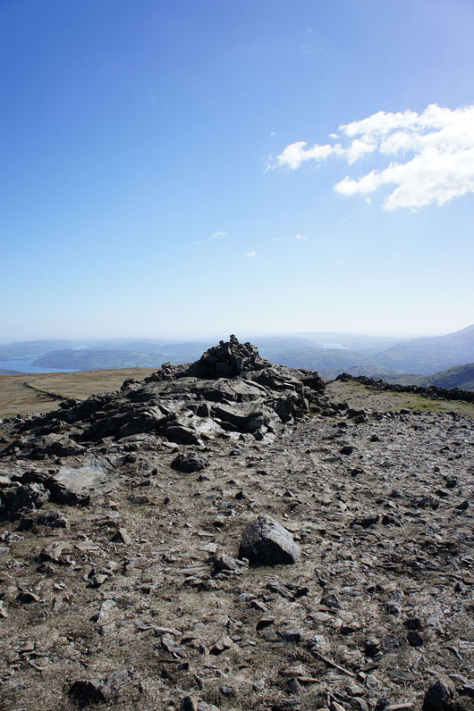
The tiny cairn marking the top of Snarker Pike
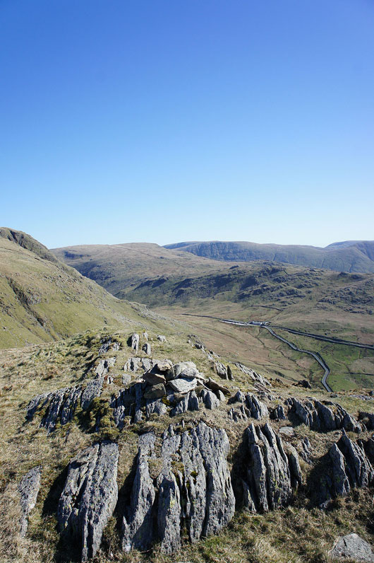
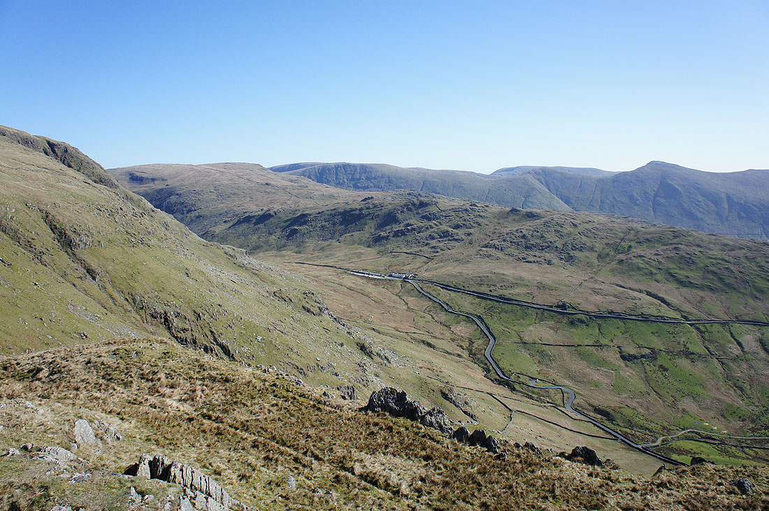
Below "The Struggle" on its way up to join the Kirkstone Pass road. Caudale Moor and the ridge of St. Raven's Edge on the other side.
Red Screes, the first summit of the day is reached. Fairfield, Helvellyn and St. Sunday Crag in the background.
On the other side of the Kirkstone Pass; Caudale Moor, High Street and Thornthwaite Crag
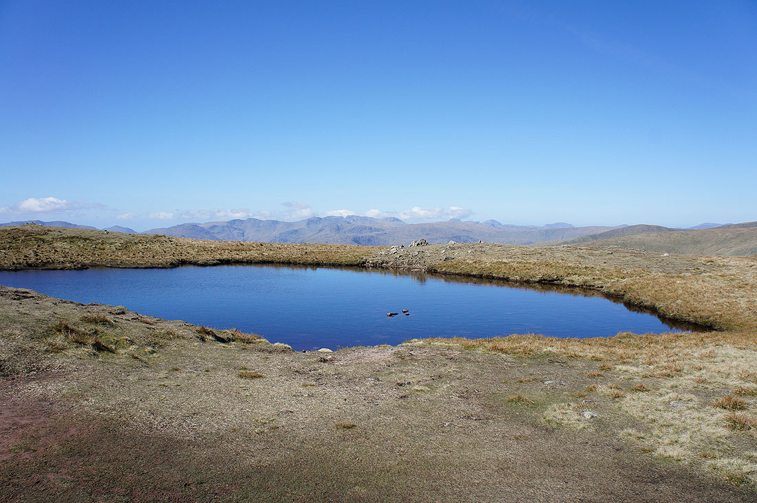
The summit tarn on Red Screes
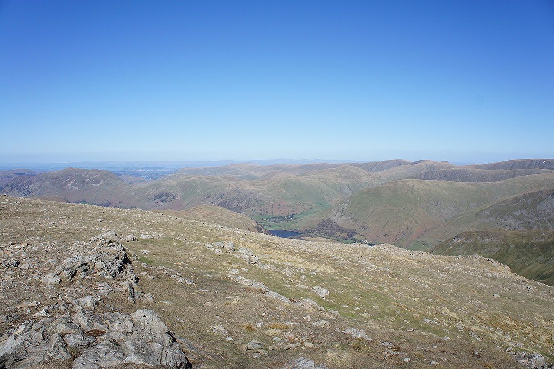
Place Fell, Patterdale, Brothers Water and Middle Dodd
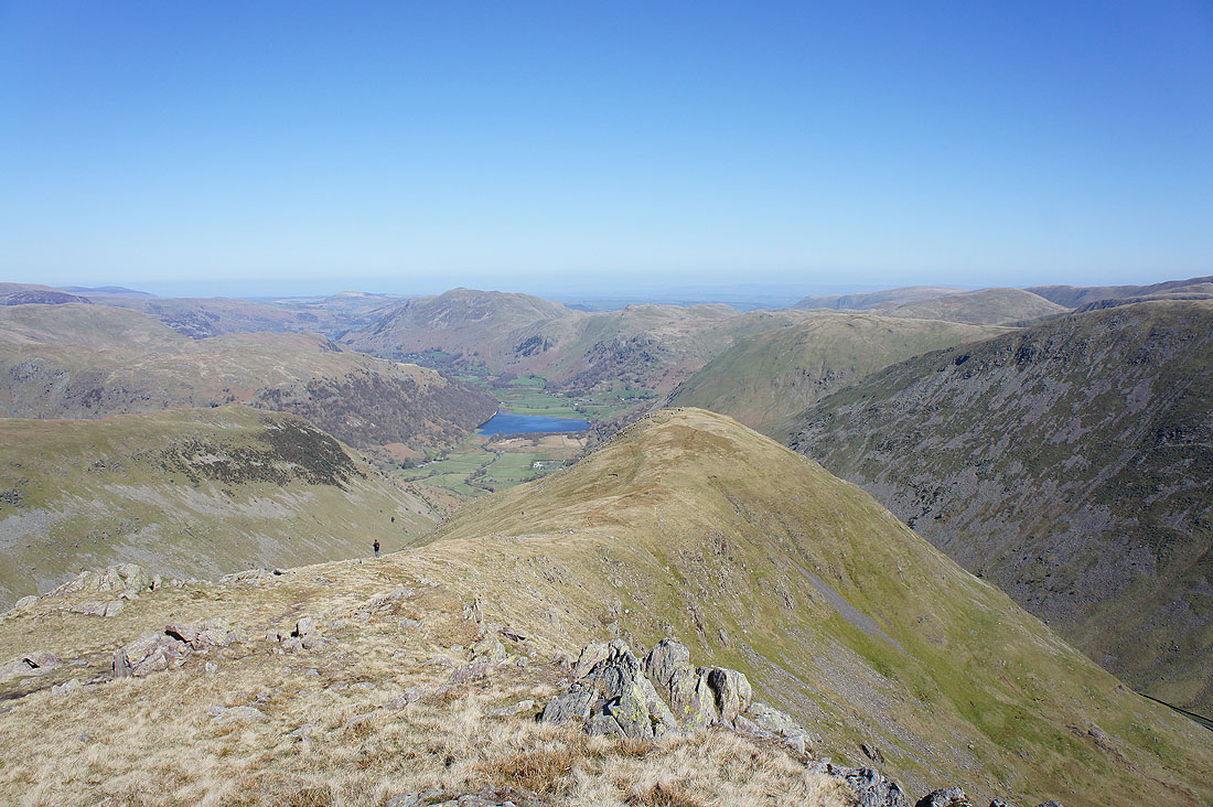
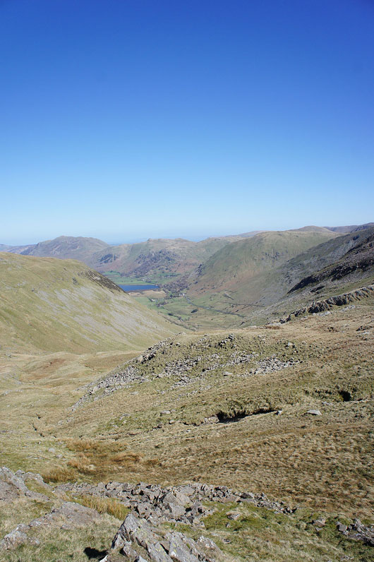
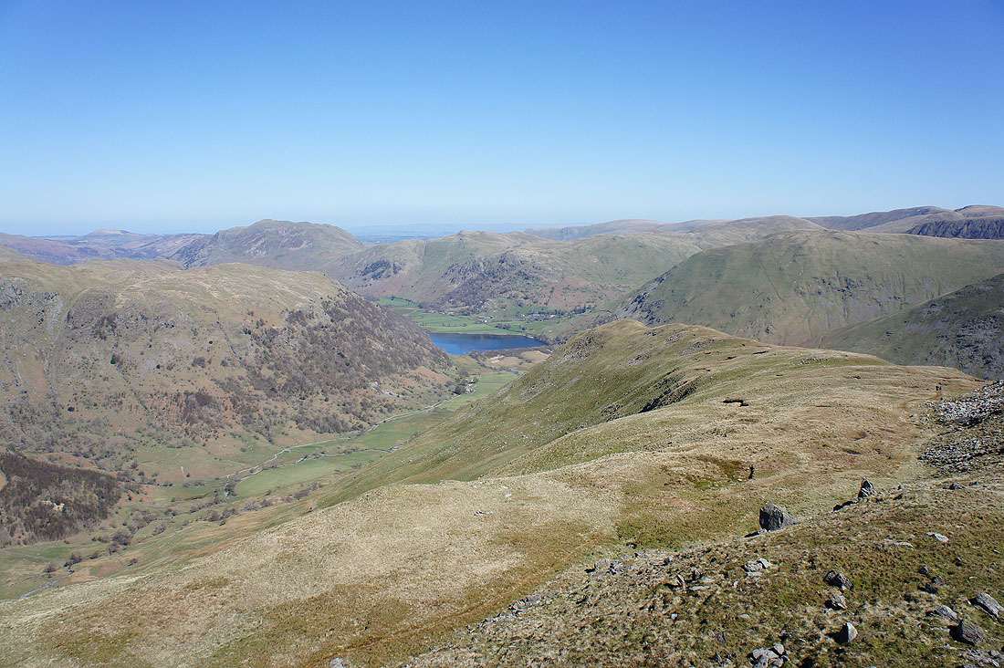
Great views of Patterdale as I head down to the Scandale Pass
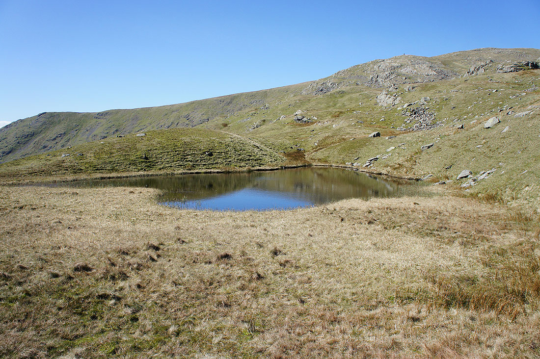
By a quiet Scandale Tarn
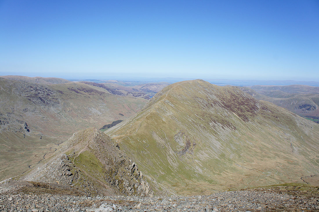
Dove Crag from the summit of Little Hart Crag. It would have been rude to miss it out.
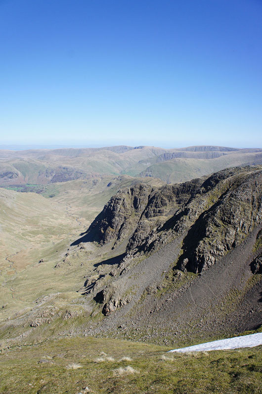
Dovedale, Brothers Water and High Hartsop Dodd
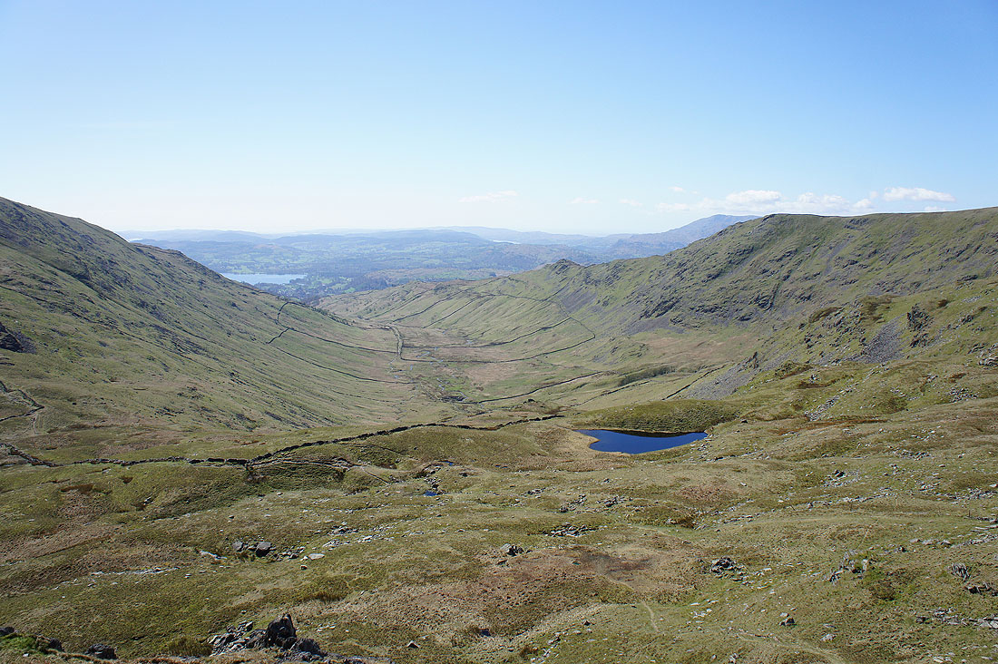
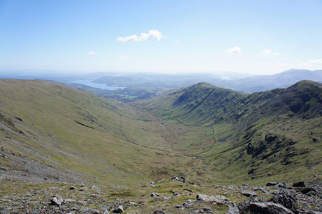
The valley of Scandale and Scandale Tarn
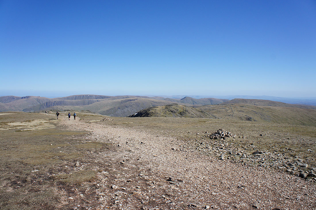
No stopping on Dove Crag and Hart Crag as I head for Fairfield
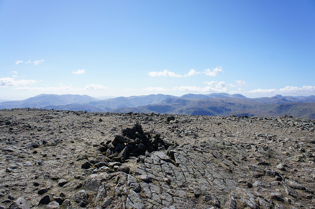
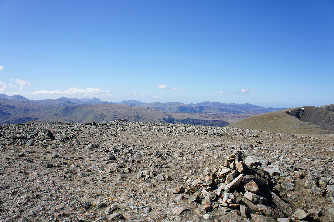
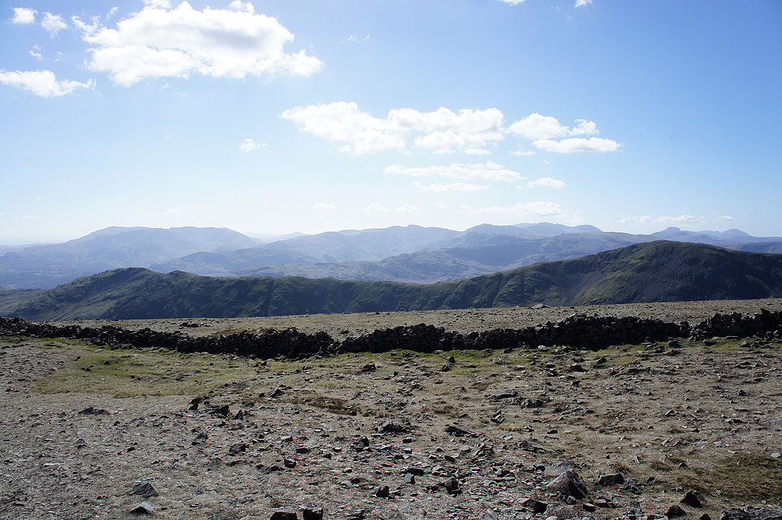
Lunch has been had so time to wander round and take in the view. Numerous fells to the west, including the Coniston fells, Crinkle Crags, Bowfell, the Scafells and Great Gable.
Great Gable, Pillar, High Stile, Dale Head, Robinson, Grasmoor and Grisedale Pike
Dollywagon Pike, Nethermost Pike and Helvellyn
Cofa Pike and St Sunday Crag
The crags of Greenhow End
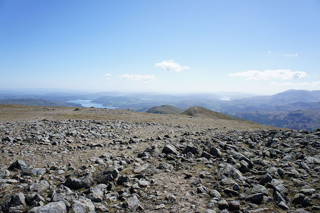
Looking south to Windermere and Coniston Water
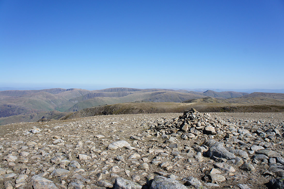
High Raise, Rampsgill Head, High Street and many other far eastern fells
Three panoramas of the view from Fairfield. The fells to the west.
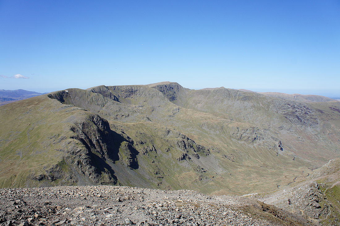
Helvellyn and St. Sunday Crag
The far eastern fells
| fairfield_panorama.jpg | |
| File Size: | 8708 kb |
| File Type: | jpg |
I've stitched together the full size pictures of the three panoramas and annotated the view and made it available as a download. It's a big file so will take some time to download depending on your connection speed. I recommend viewing it on a desktop PC or at least having software that can zoom in and scroll across. If I'd known at the time that I was going to do this I would have completed the full 360. Maybe I'll try this again in the future.
It's time I was heading back so I'm leaving Fairfield for Hart Crag
Passing the head of Rydal
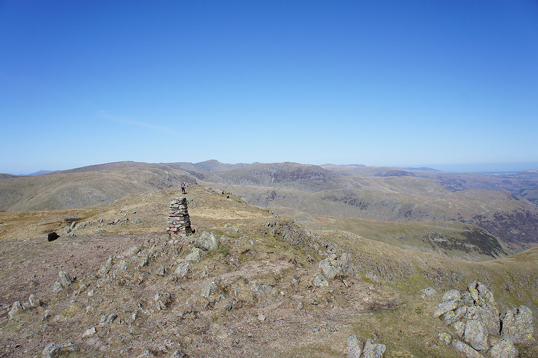
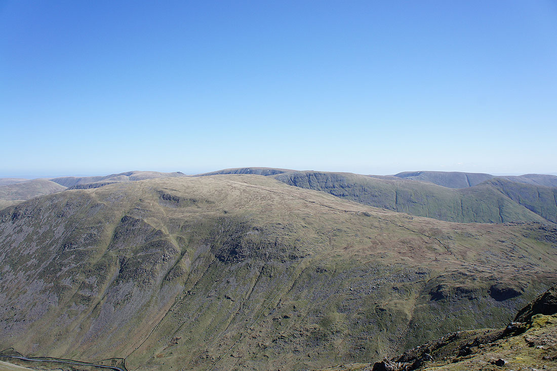
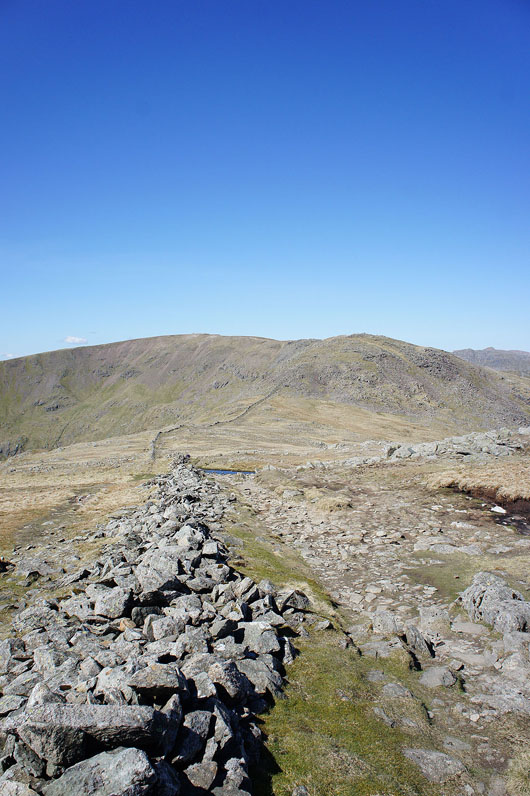
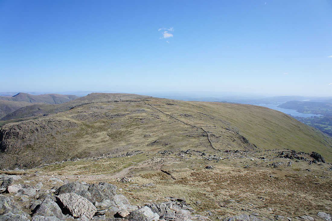
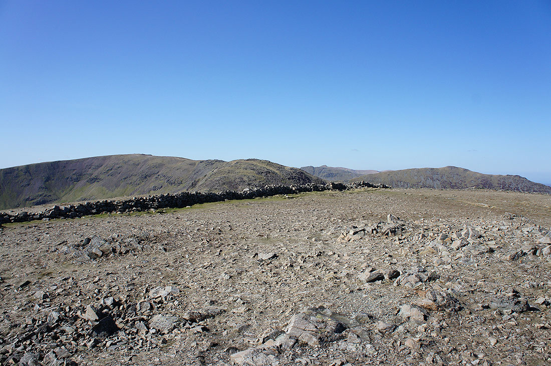
On the summit of Hart Crag. Looking back to Fairfield.
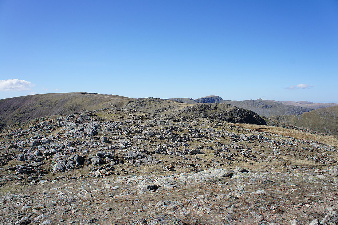
and ahead to Dove Crag
On the summit of Dove Crag. It's quite quiet now after the busyness of the middle of the day.
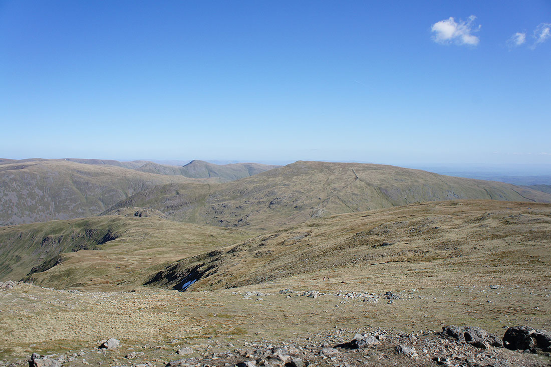
Heron Pike and Great Rigg on the other side of Rydal
Fairfield, Hart Crag and St. Sunday Crag
Place Fell, Loadpot Hill, High Raise and the other fells to the east of Patterdale
The Ill Bell ridge and Red Screes
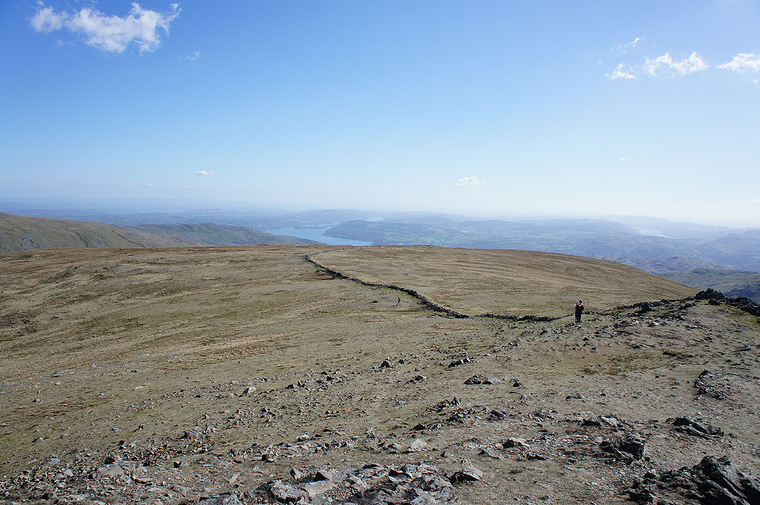
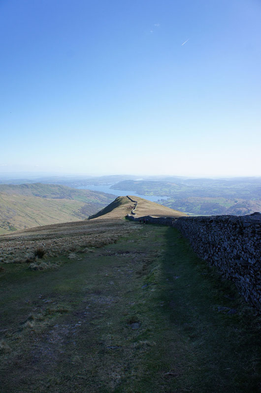
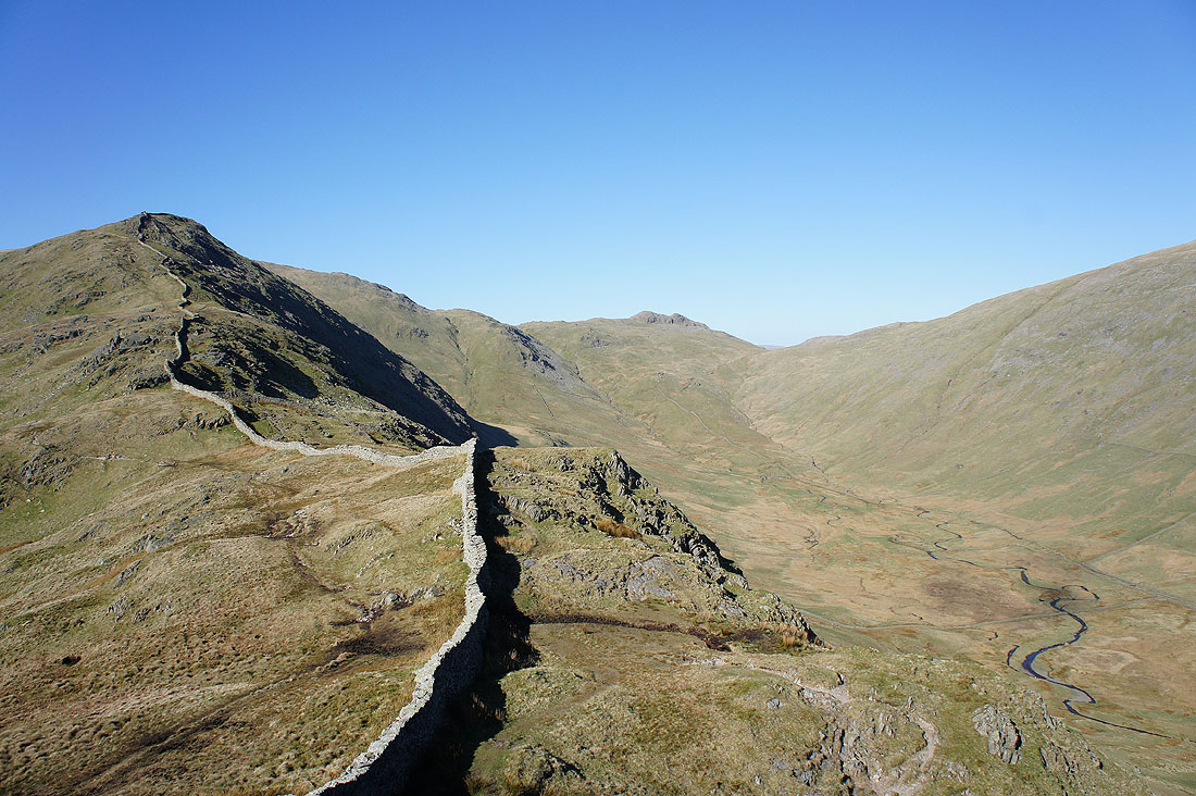
Just follow the wall down
High Pike ahead
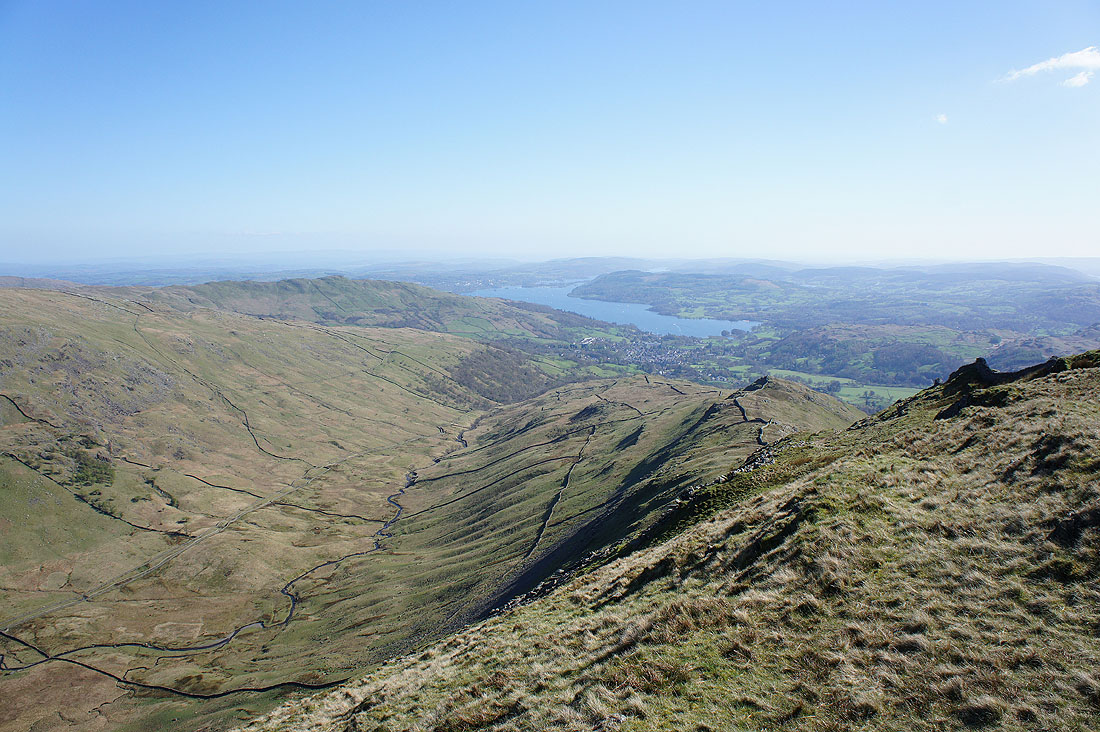
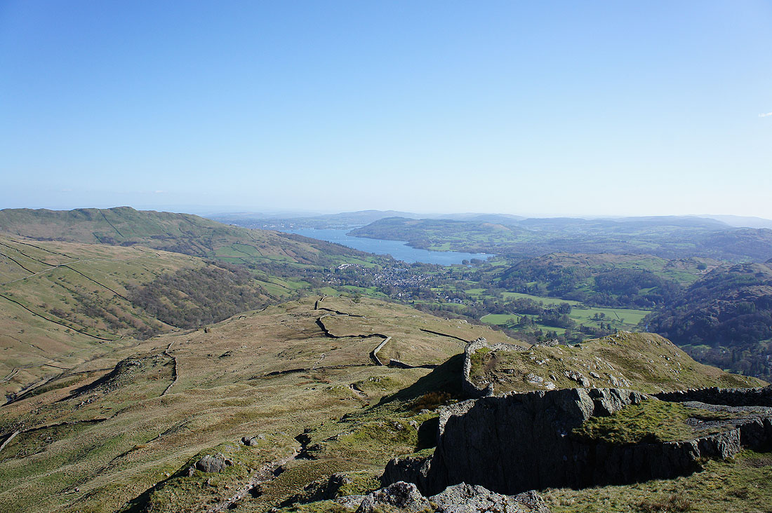
On High Pike. Scandale, Windermere and the ridge heading down to Low Pike.
and on Low Pike. Looking back up to High Pike with Little Hart Crag and Scandale on the right.
Windermere and Ambleside ahead
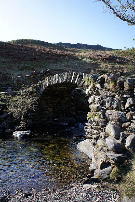
High Sweden Bridge
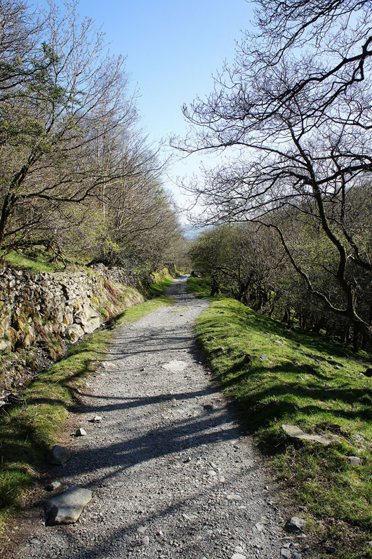
On the track down Scandale
Loughrigg Fell, Rydal Water and Nab Scar
Almost back in Ambleside
