18th August 2013 - Great Asby Scar
Walk Details
Distance walked: 10.1 miles
Total ascent: 1410 ft
OS map used: OL19 - Howgill Fells & Upper Eden Valley
Time taken: 6.5 hrs
Route description: Sunbiggin Tarn-Great Kinmond-Muddygill Plain-Sayle Lane-Great Asby Scar-Beacon Hill-Knott-Gamelands Stone Circle-Coast to Coast walk-Sunbiggin Tarn
My first ever visit to the Westmorland limestone plateau and it won't be long before I'm back. There are great views in all directions and they deserve a fine day to be appreciated.
I started my walk today from the layby next to Sunbiggin Tarn, from which I then took the bridleway across Muddygill Plain to reach Sayle Lane. A short road walk took me to the track and bridleway that I used to cross Great Asby Scar. A detour was taken to visit the monument on Beacon Hill. It was then back to the bridleway but I soon left it again to visit the trig point on Knott. My route back was down the southern slope of Knott to the track of Knott Lane and then I followed the Coast to Coast walk route back to Sunbiggin Tarn.
Route map
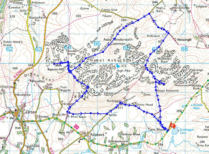
© Crown copyright. All rights reserved. License number PU 100034184.
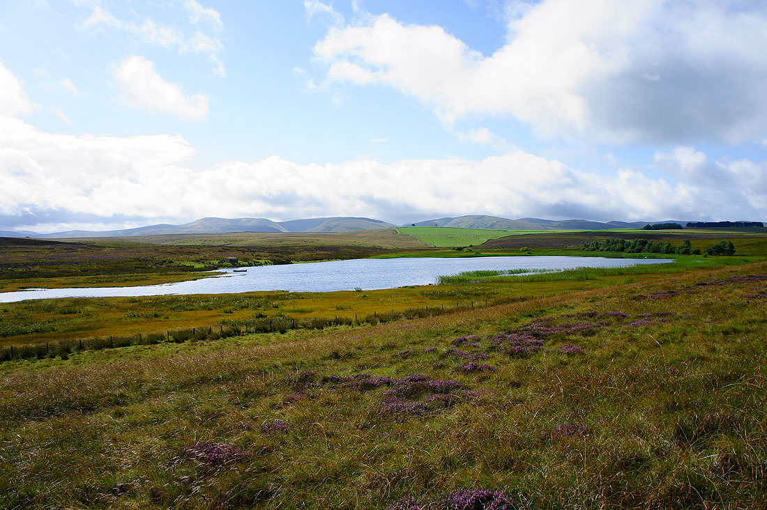
Starting the walk from Sunbiggin Tarn with the Howgills in the background
From Sunbiggin Tarn I set off to follow the bridleway northwards to the east of Great Asby Scar. I've made a short detour to see the view from the top of Great Kinmond. Looking west towards the Shap Fells.
The Howgills. That's Sunbiggin Tarn down on the left.
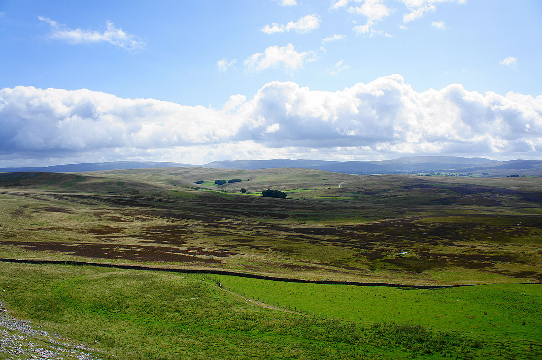
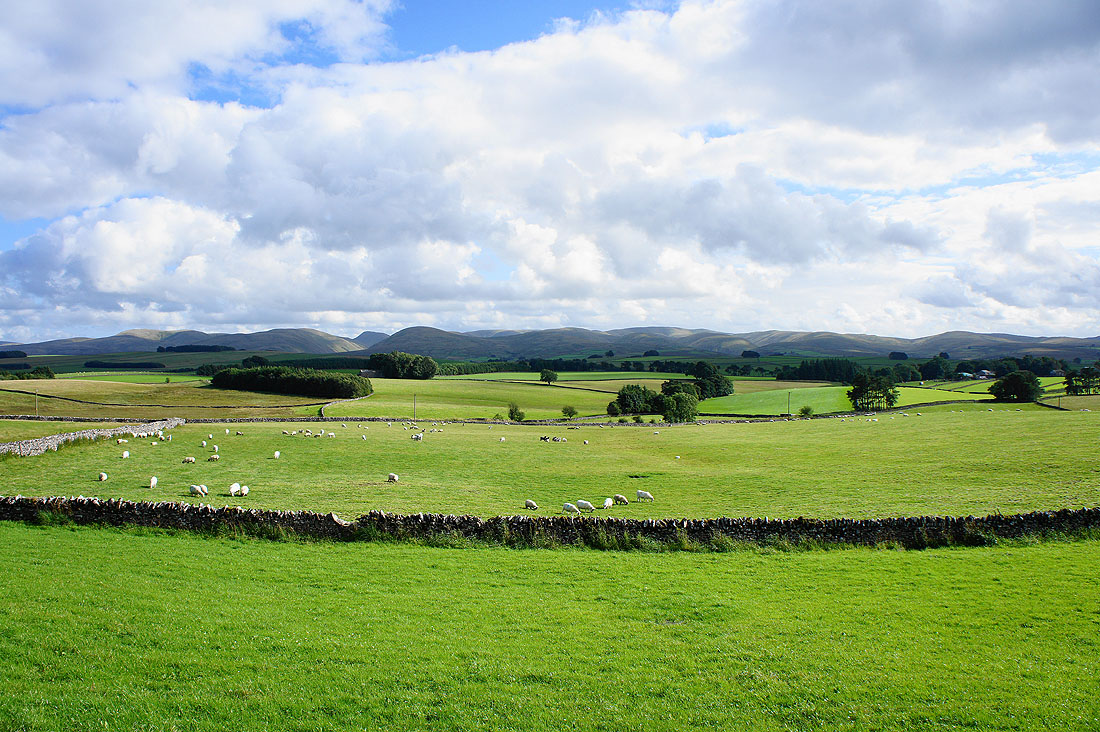
Nine Standards Rigg, High Seat and Wild Boar Fell beyond Crosby Garrett Fell
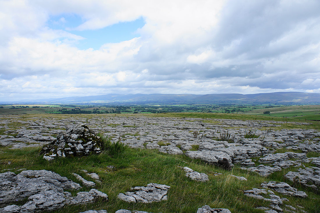
I've reached the top of the bridleway and I have some great views across the surrounding limestone pavement. Cross Fell and the North Pennines on the other side of the Eden Valley.
The Howgills
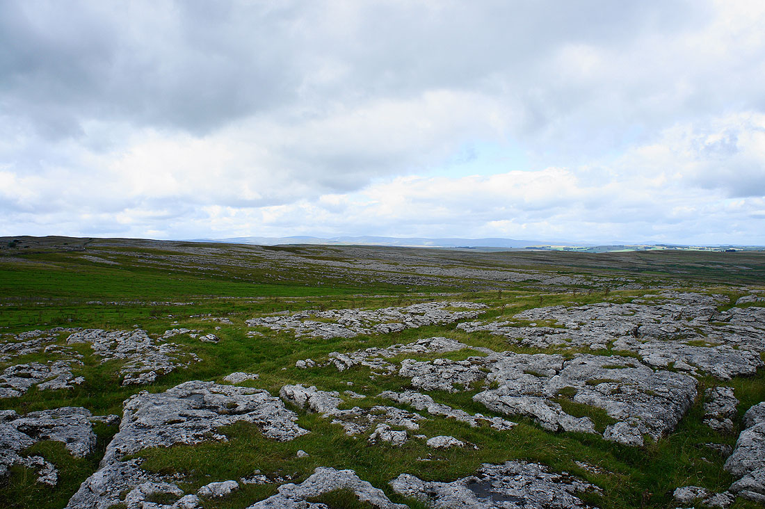
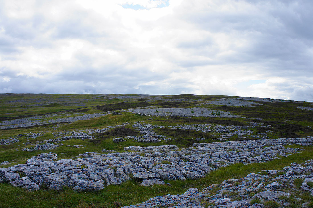
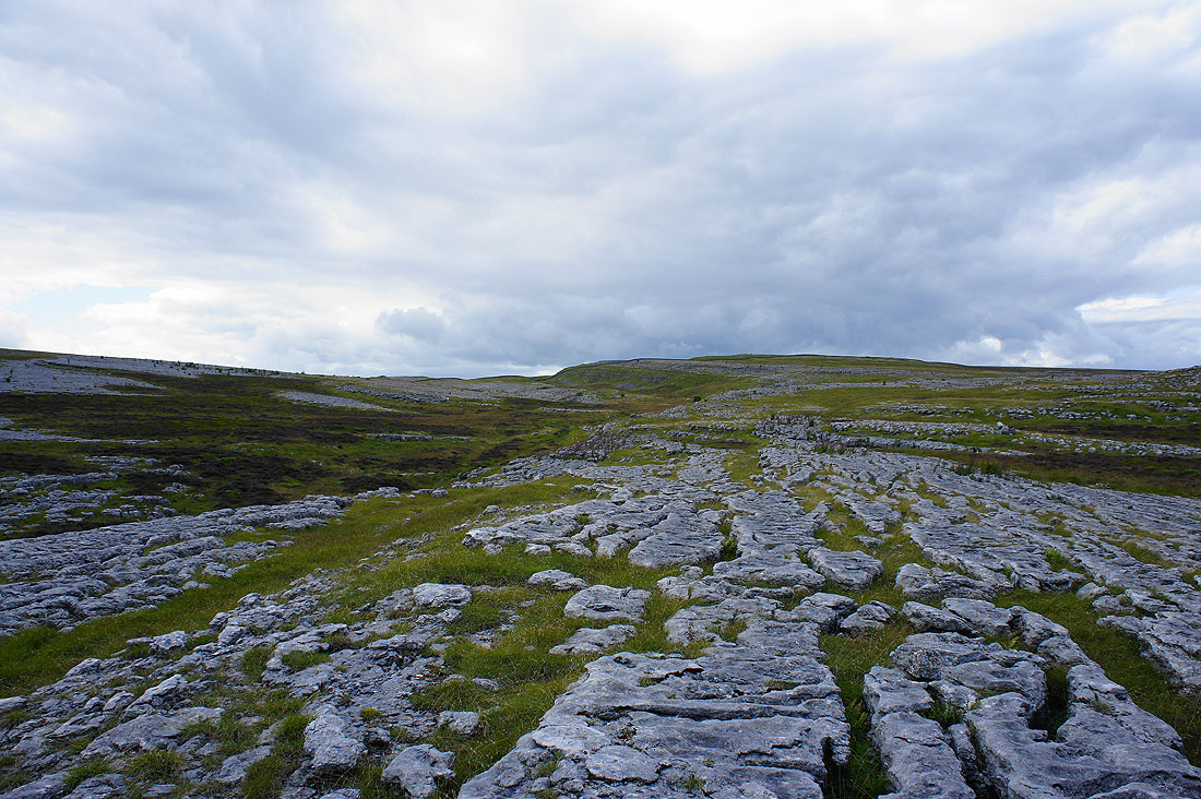
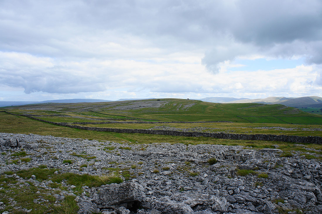
Great Asby Scar
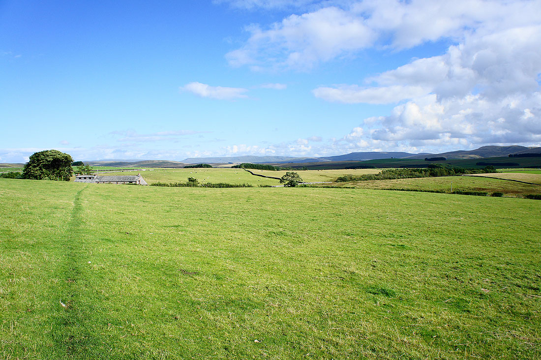
I've finally reached the driveway to Maisongill Farm. The bridleway that's on the map to here is difficult to find on the ground.
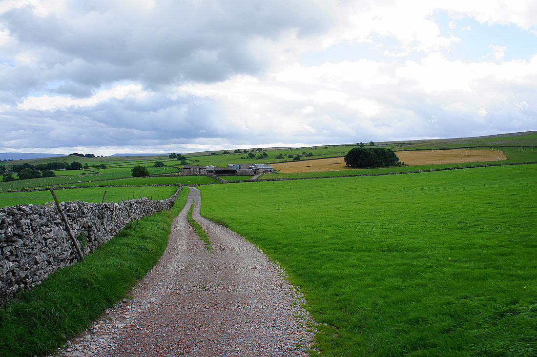
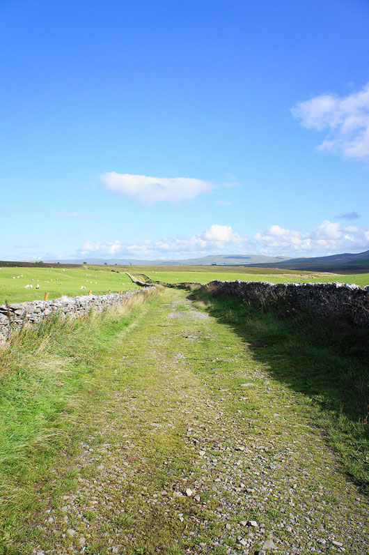
A short stretch of road walking has brought me to this walled track which will take me up onto Great Asby Scar
Great Asby Scar just ahead
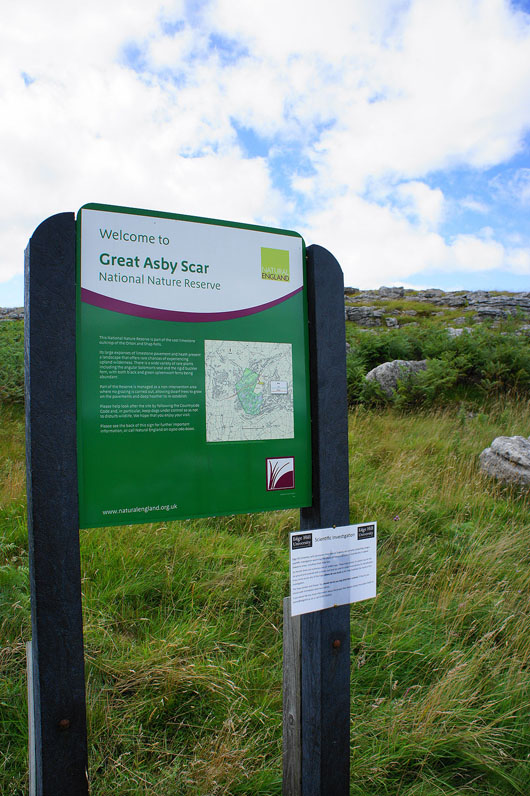
Entering the Nature Reserve
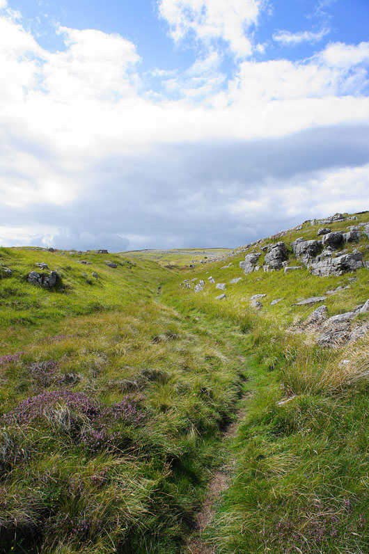
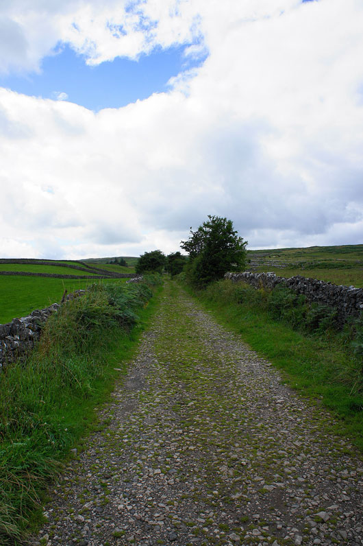
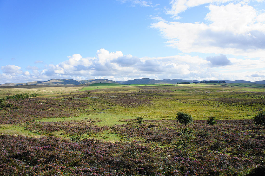
The path through the limestone pavements. I'm going to head up to the right to see what the view is like.
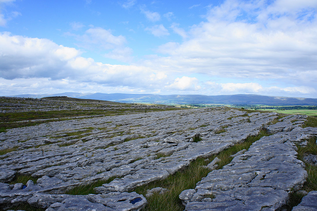
Cross Fell and the North Pennines..
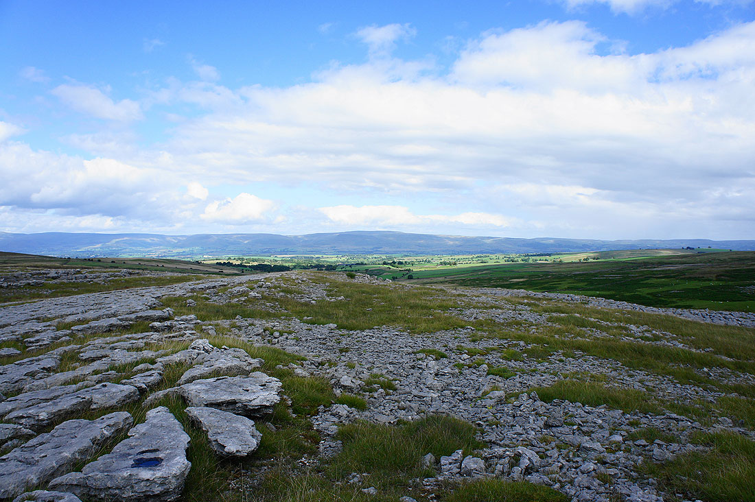
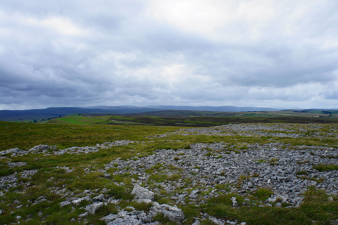
Great Asby Scar..
I'll rejoin the path to head for the dip in the skyline
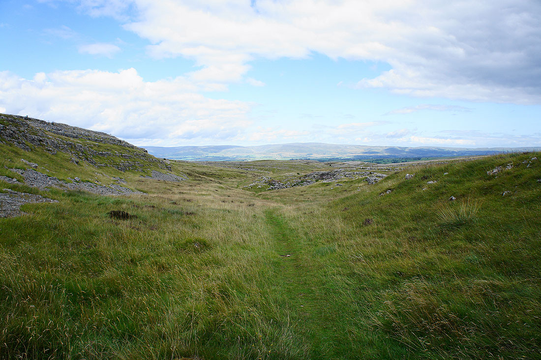
A final look back on leaving Great Asby Scar
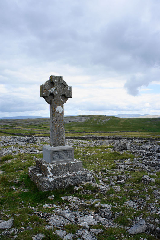
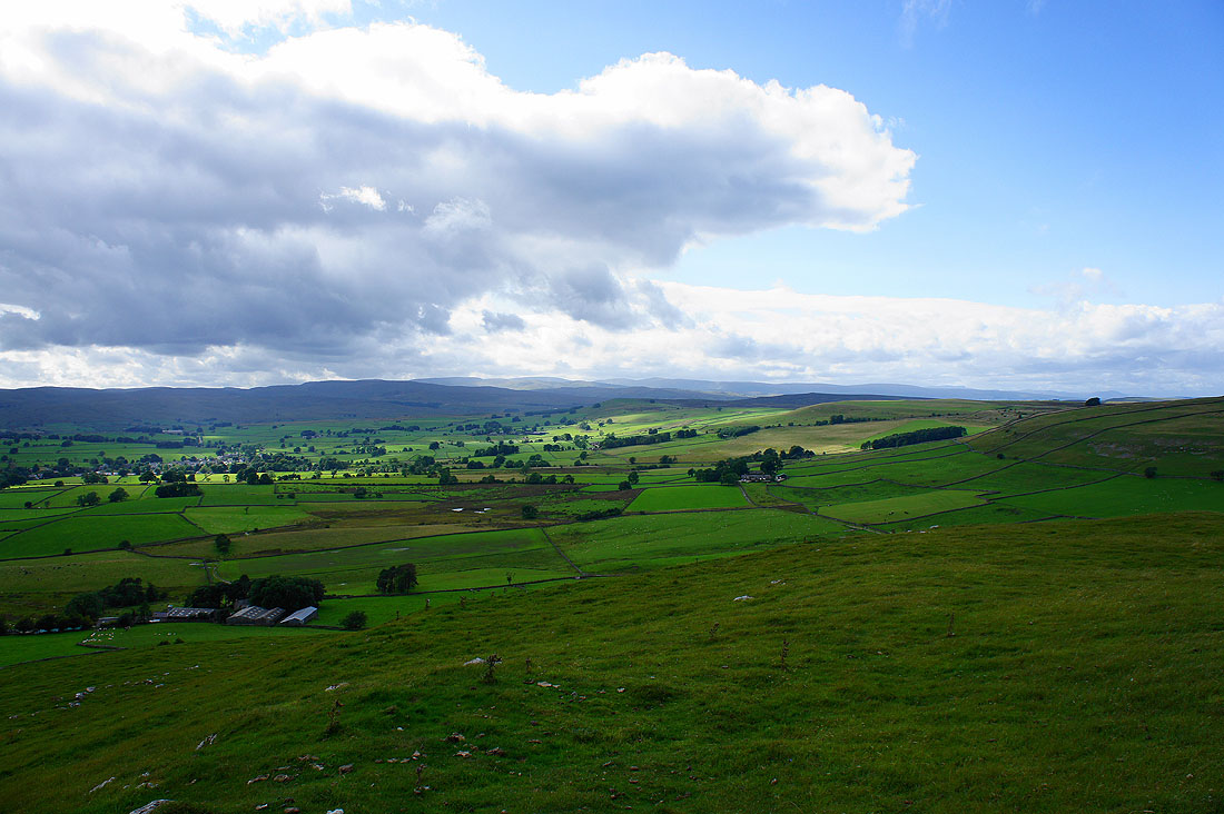
My next port of call was the monument on Beacon Hill. Great views from here. The monument was erected on 21st June 1887 to commemorate the Golden Jubilee of Queen Victoria. The block with the inscription on it is obviously much newer.
The Howgills from Beacon Hill
The neighbouring hill of Knott which is where I'll be heading to next
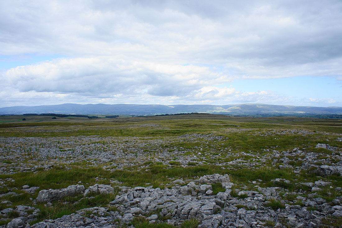
Cross Fell and the North Pennines
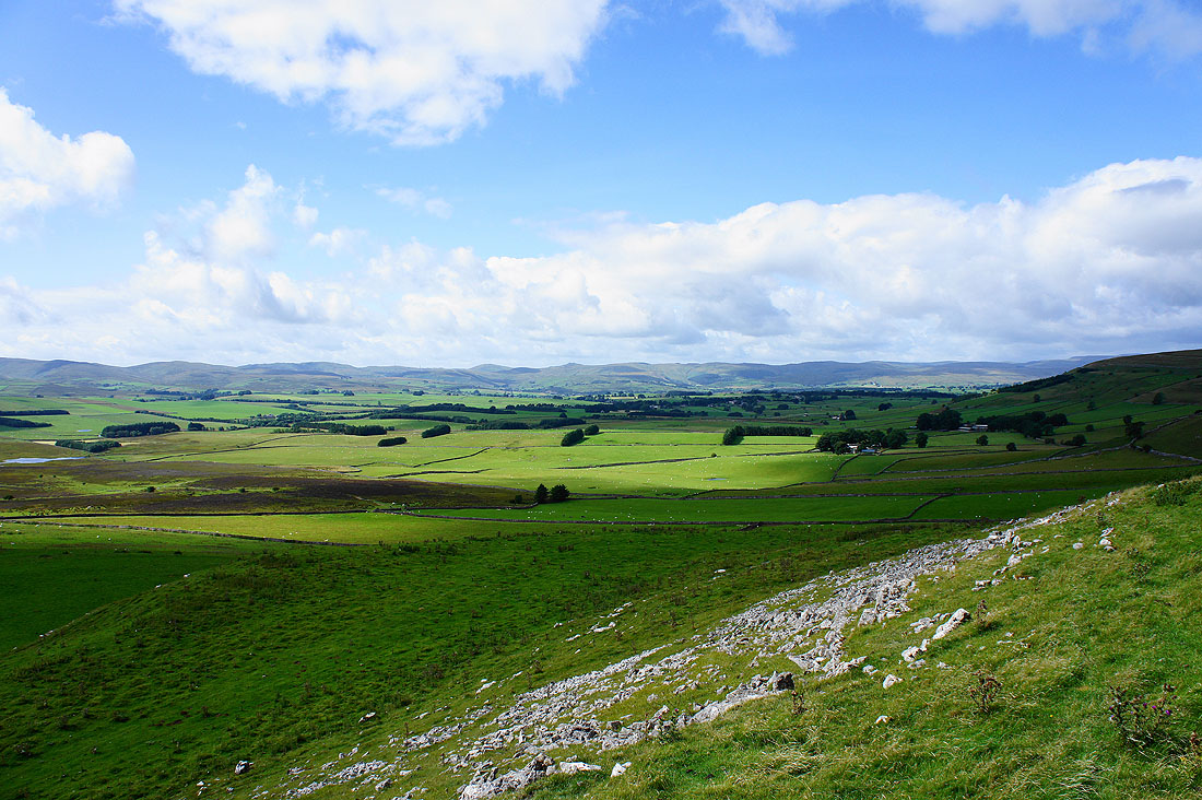
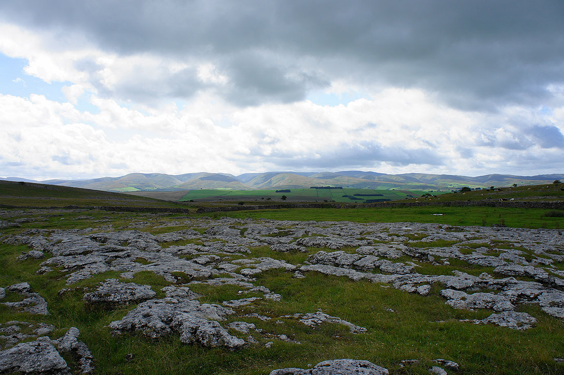
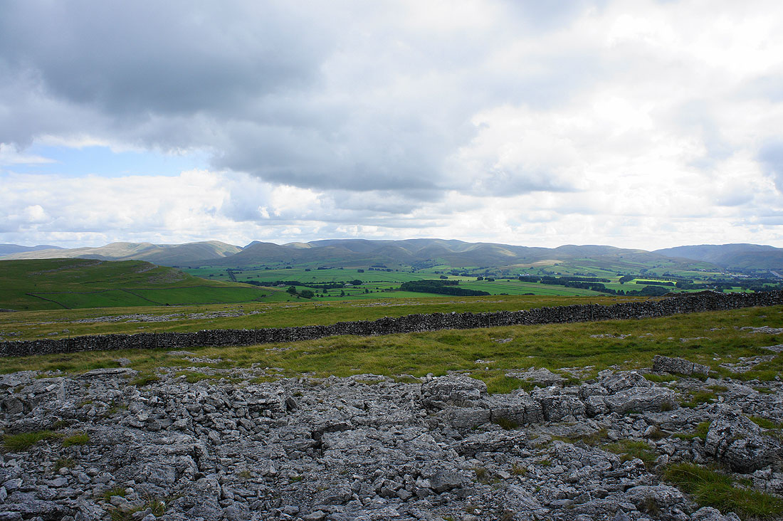
High Street and the far eastern fells of the Lake District beyond the neighbouring Crosby Ravensworth Fell
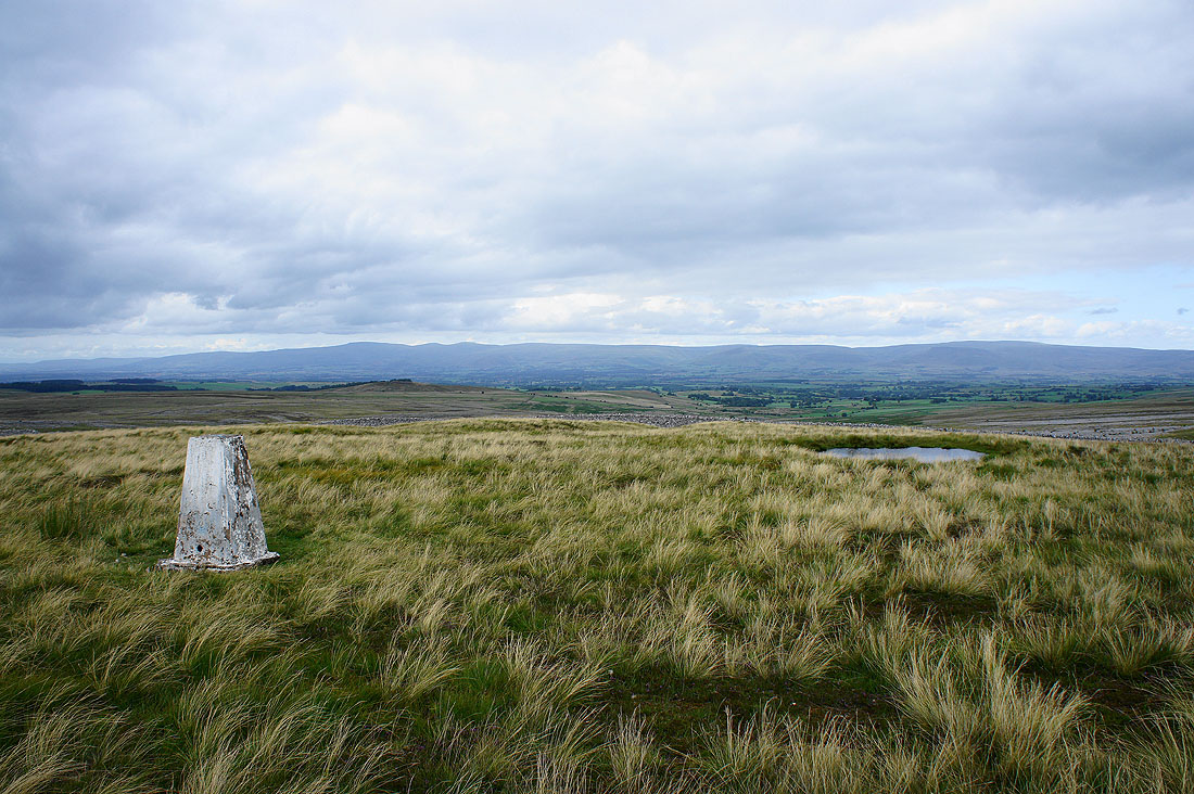
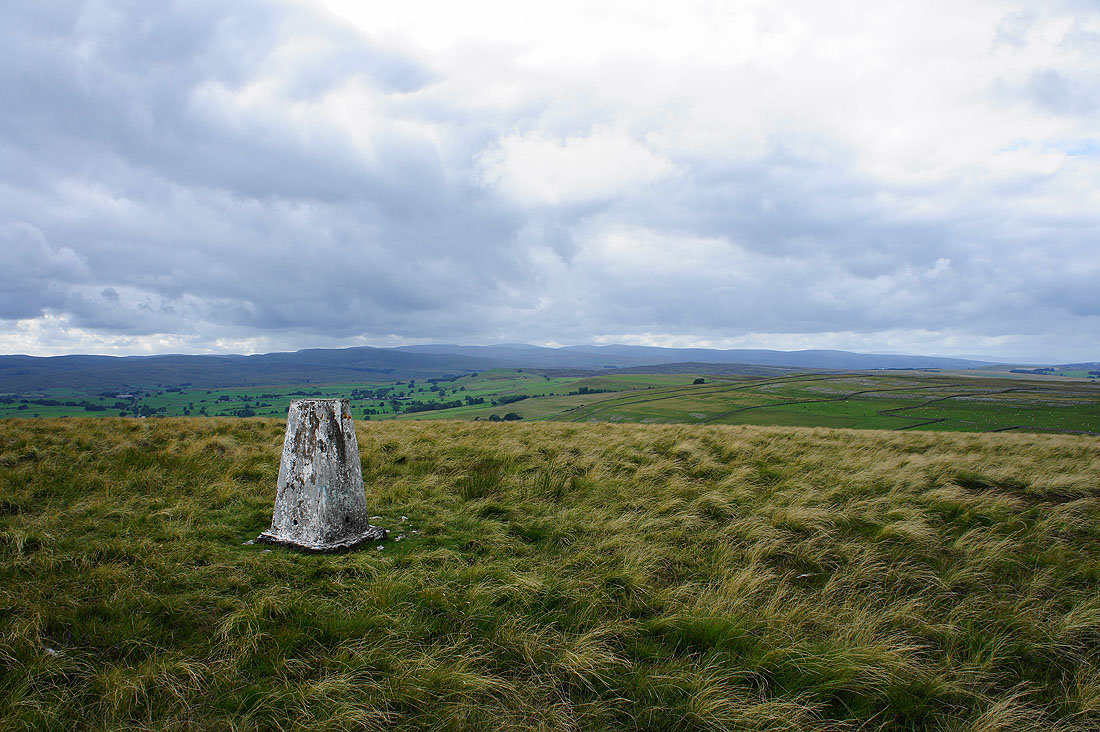
By the trig point on the summit of Knott. The North Pennines in the distance.
High Street and the far eastern fells
Nine Standards Rigg, High Seat and Wild Boar Fell
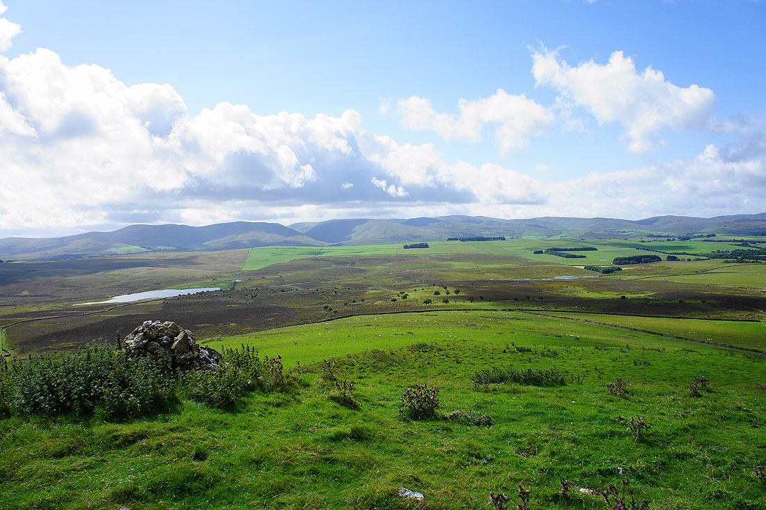
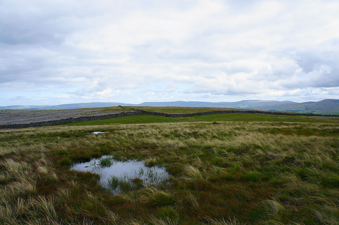
I've stopped at a cairn on the southern end of Knott to take in the really good view across the valley below and it's brightening up, which is a bonus. Looking west towards the Shap Fells and the far eastern fells of the Lake District.
Looking east to Nine Standards Rigg, High Seat and Wild Boar Fell
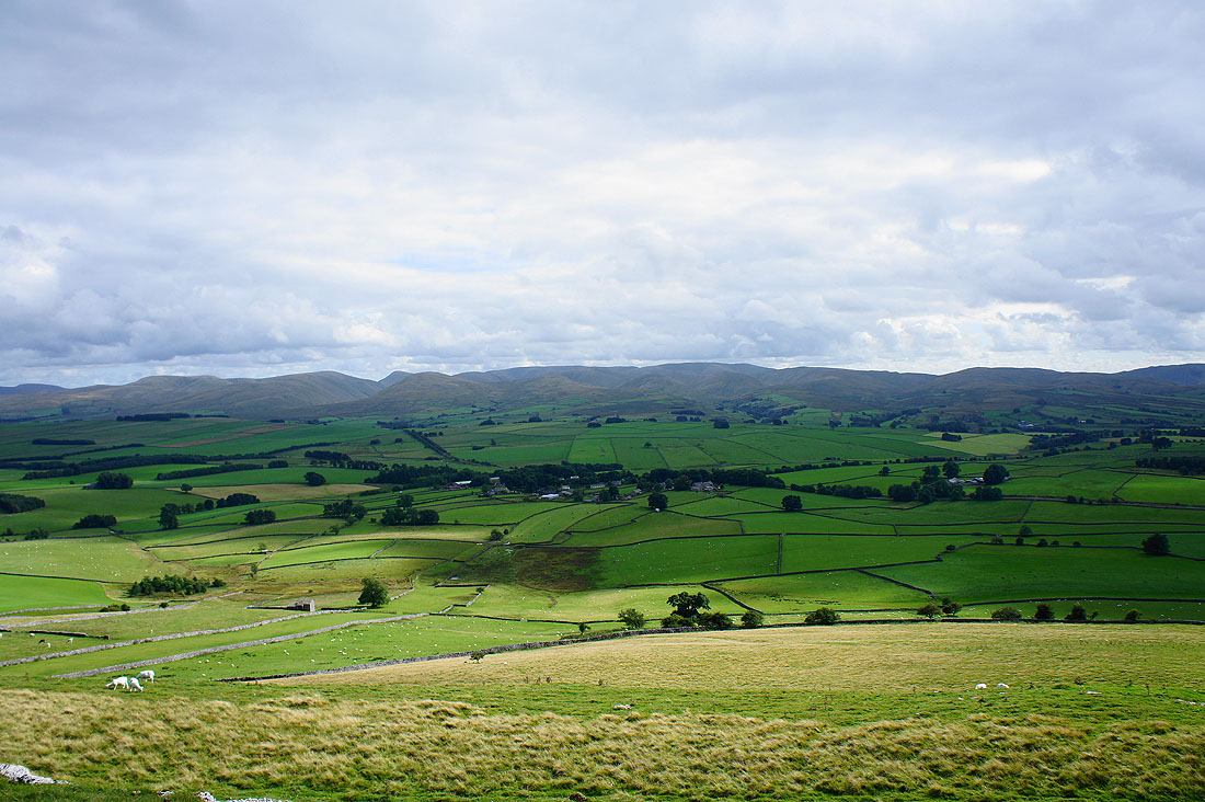
The Howgills
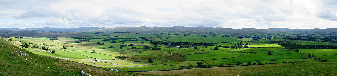
and a panorama of the view
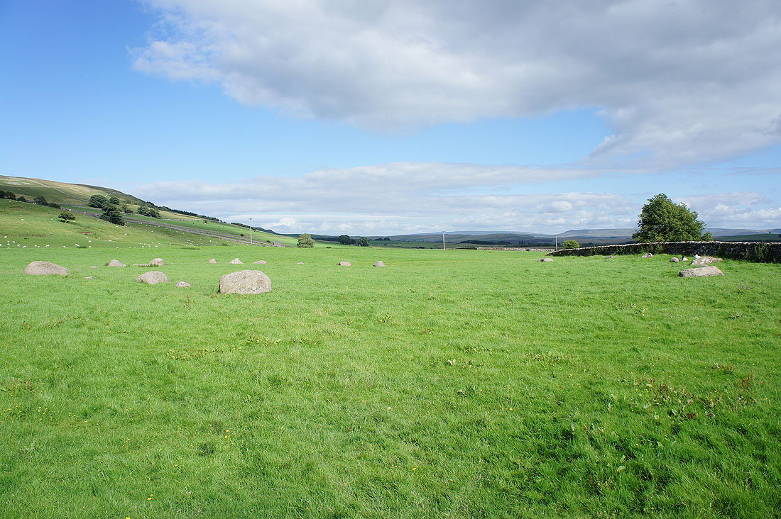
The Gamelands Stone Circle. I made a very short detour to see them. They're visible from the hillside above but not from the path I was going to follow back to Sunbiggin Tarn.
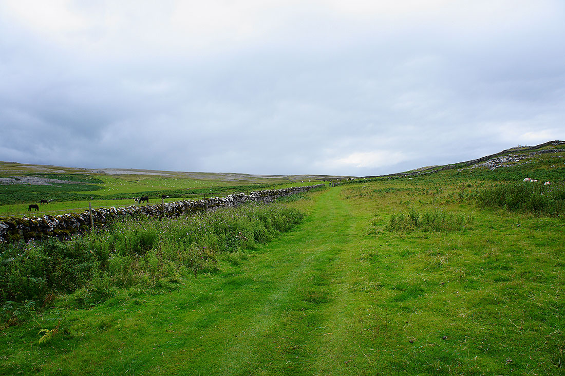
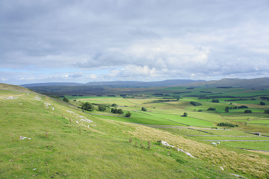
Following AW's Coast to Coast walk back to Sunbiggin Tarn. Great views all round on a fine afternoon...
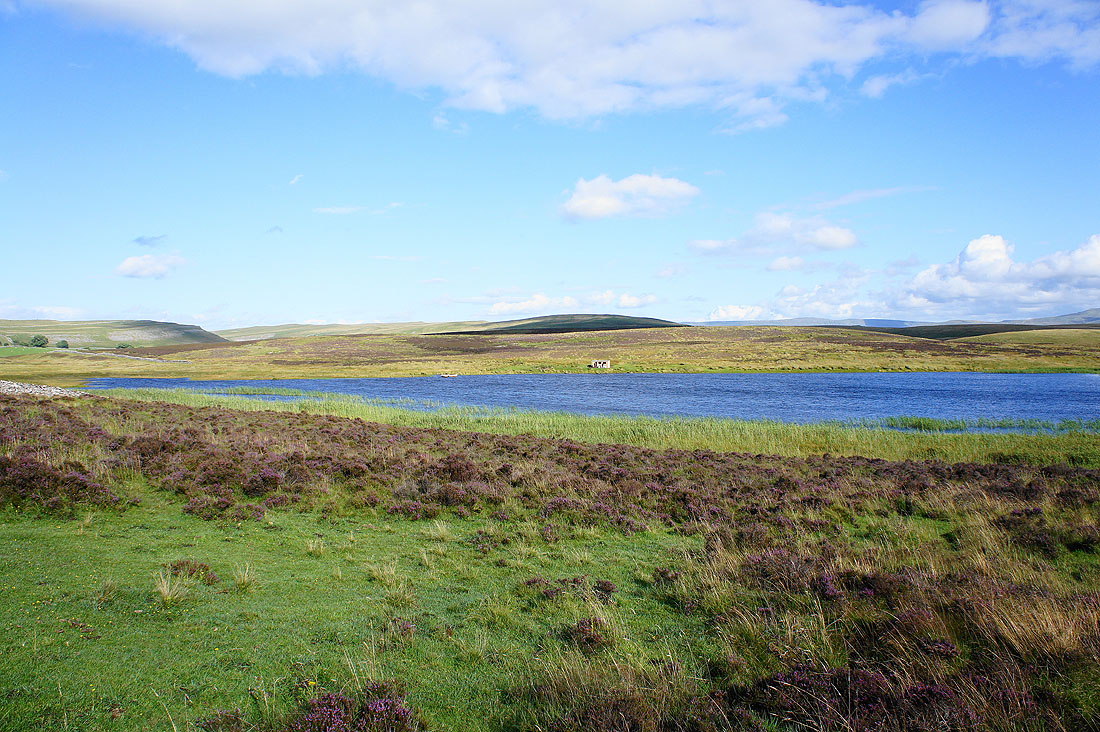
Back by Sunbiggin Tarn