18th December 2011 - Pendle Hill
Walk Details
Distance walked: 6.7 miles
Total ascent: 1568 ft
OS map used: OL21 - South Pennines
Time taken: 5 hrs
Route description: Downham-Pendle Road-Downham Moor-Pendle Hill-Scout Cairn-Worston Moor-Moorside-Barkerfield-Hookcliffe-Gerna-Pendle Road-Downham
I set off from Downham up Pendle Road and then I ascended Pendle Hill by Downham Moor. After visiting the summit it was back down via the Scout Cairn and Worston Moor.
Route map
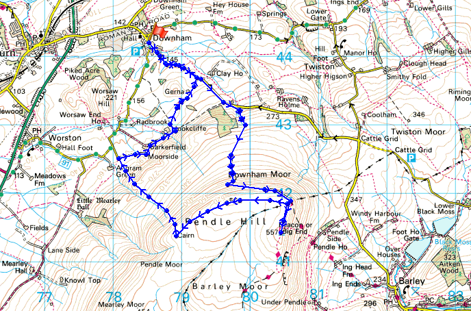
© Crown copyright. All rights reserved. License number PU 100034184.
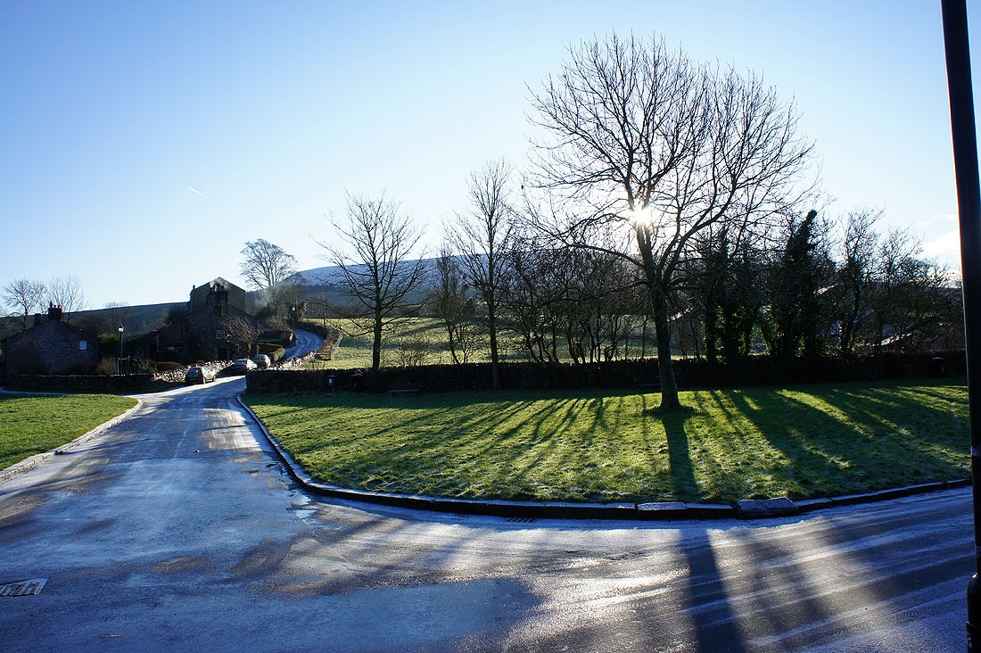
In Downham with Pendle Hill hidden by the trees
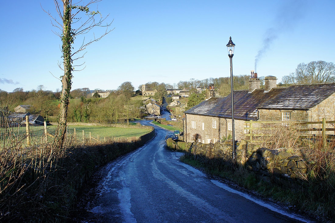
A look back at Downham as I head up Pendle Road
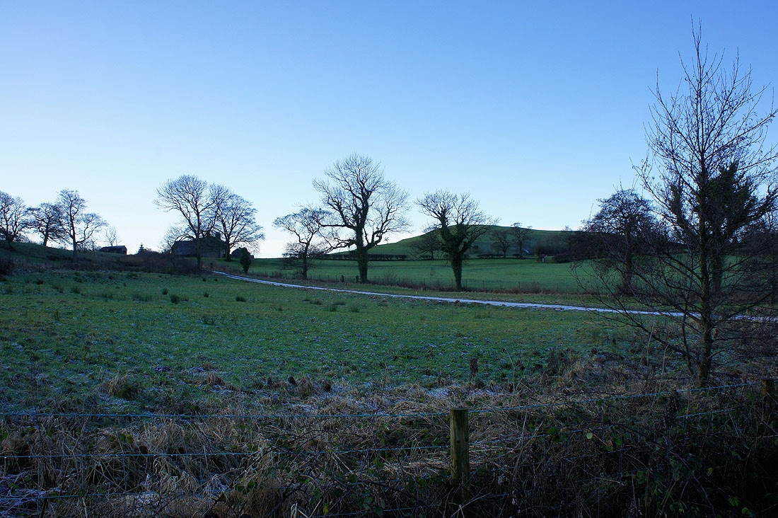
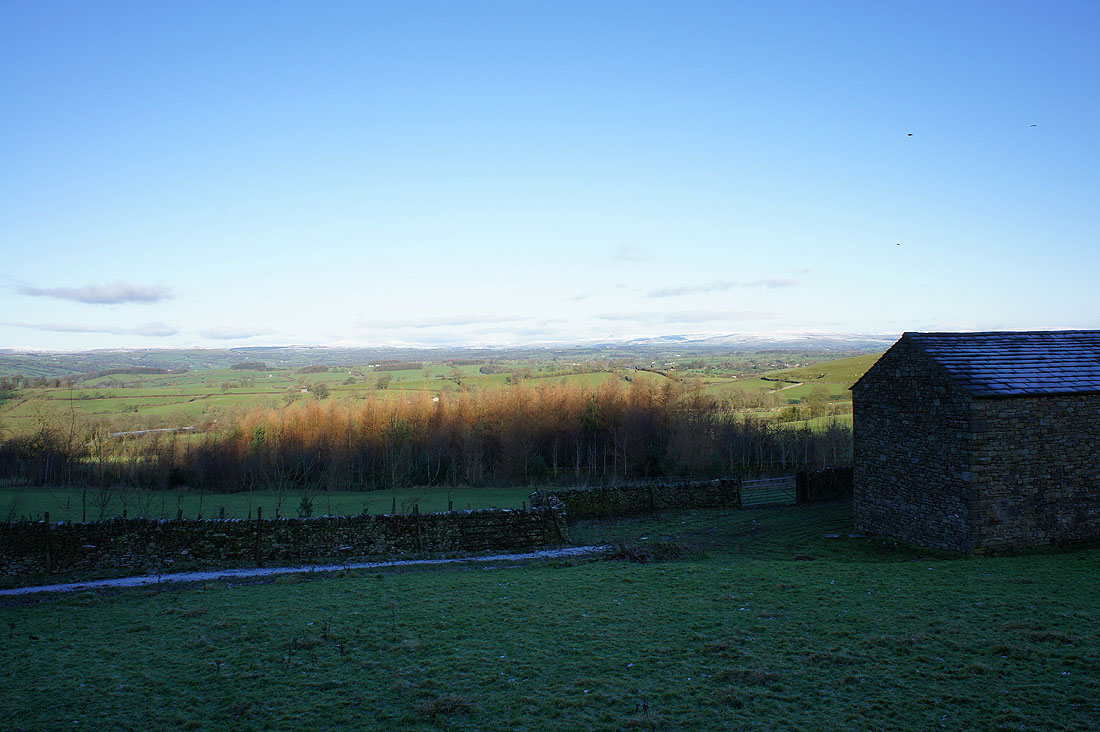
My route back is down that track past Gerna and Gerna Hill
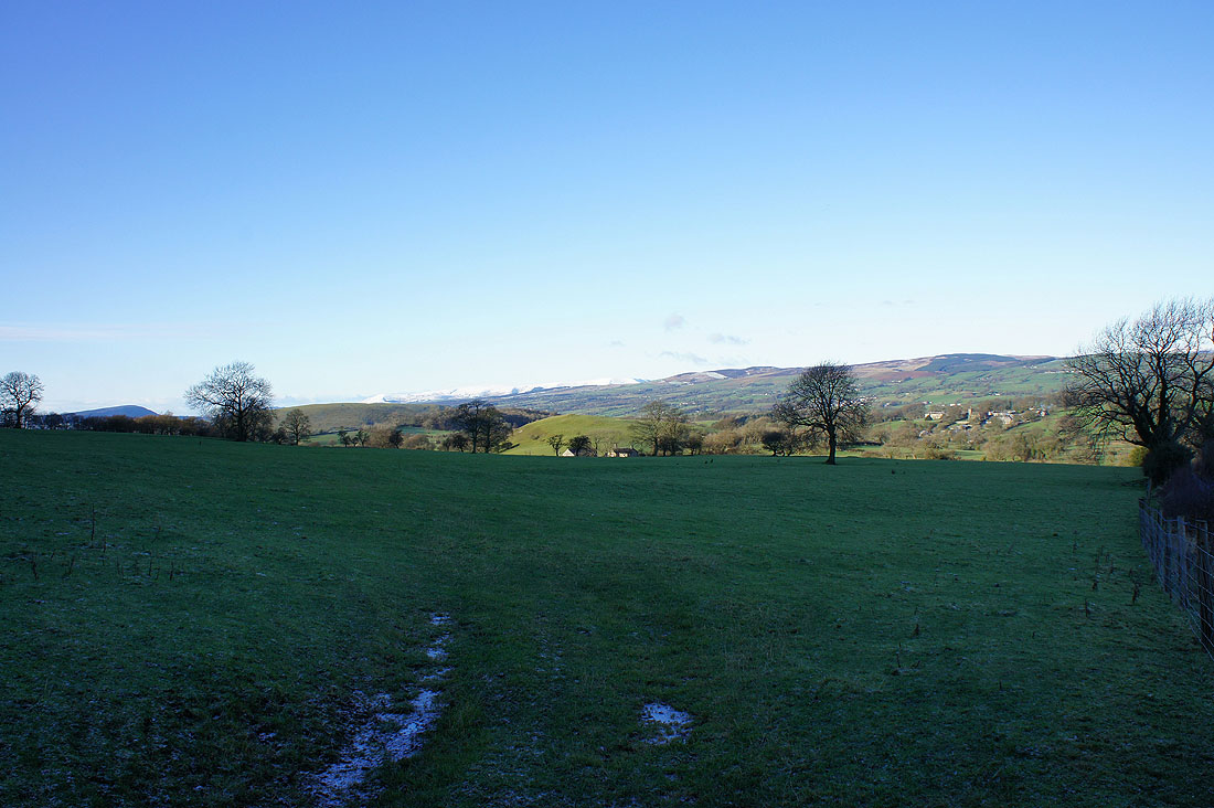
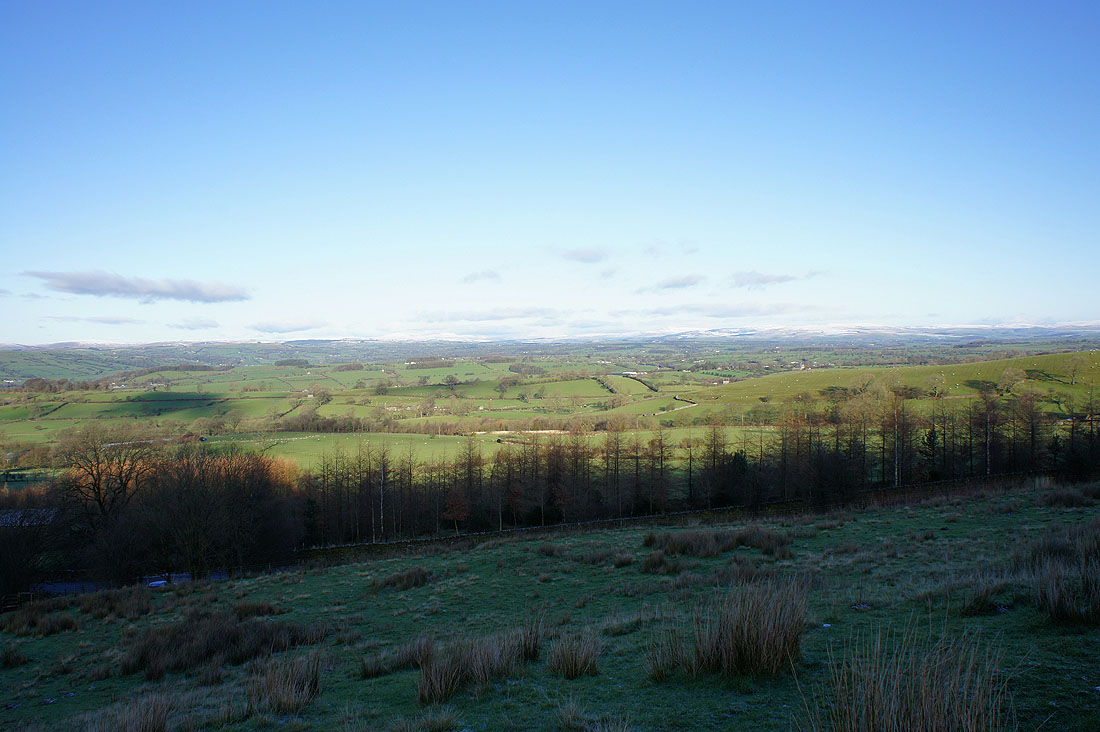
Views of the Pendle countryside as I head up the road...
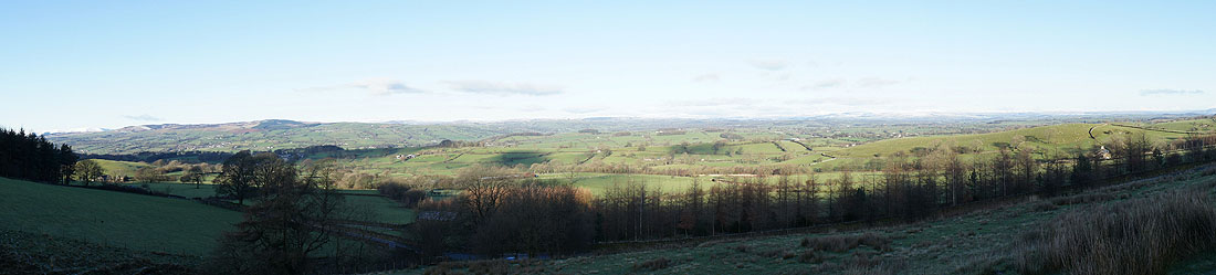
and a panorama
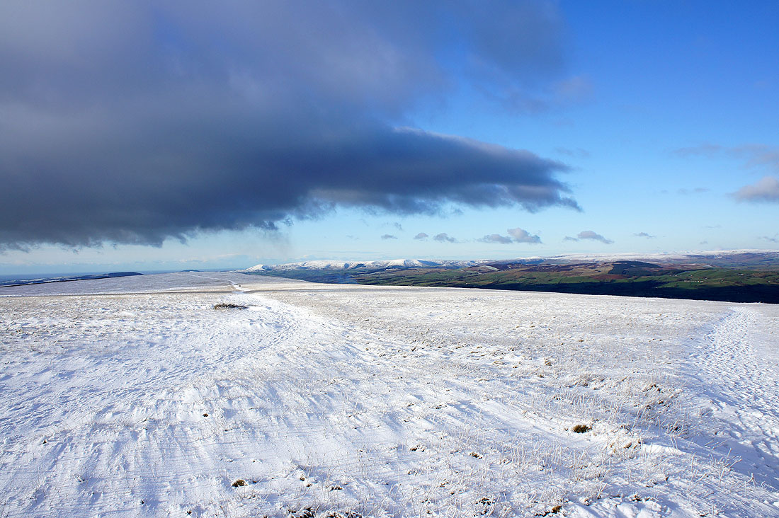
Heading up. Snow covered Bowland fells in the distance.
Snow covered Yorkshire Dales in the distance
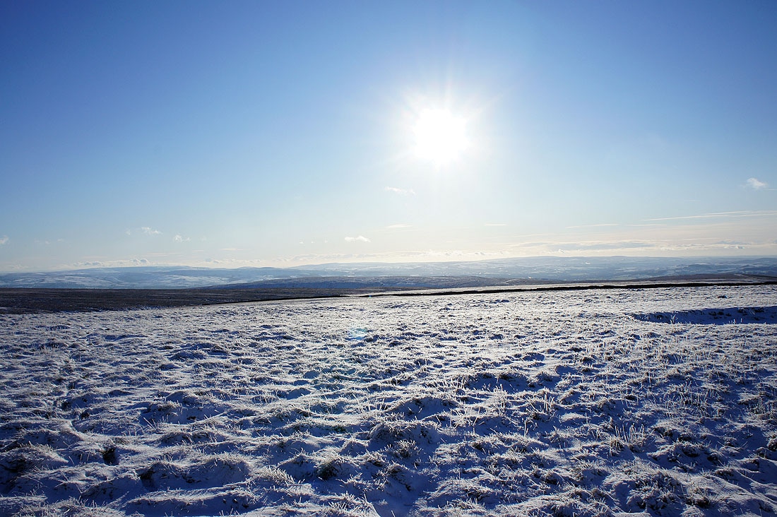
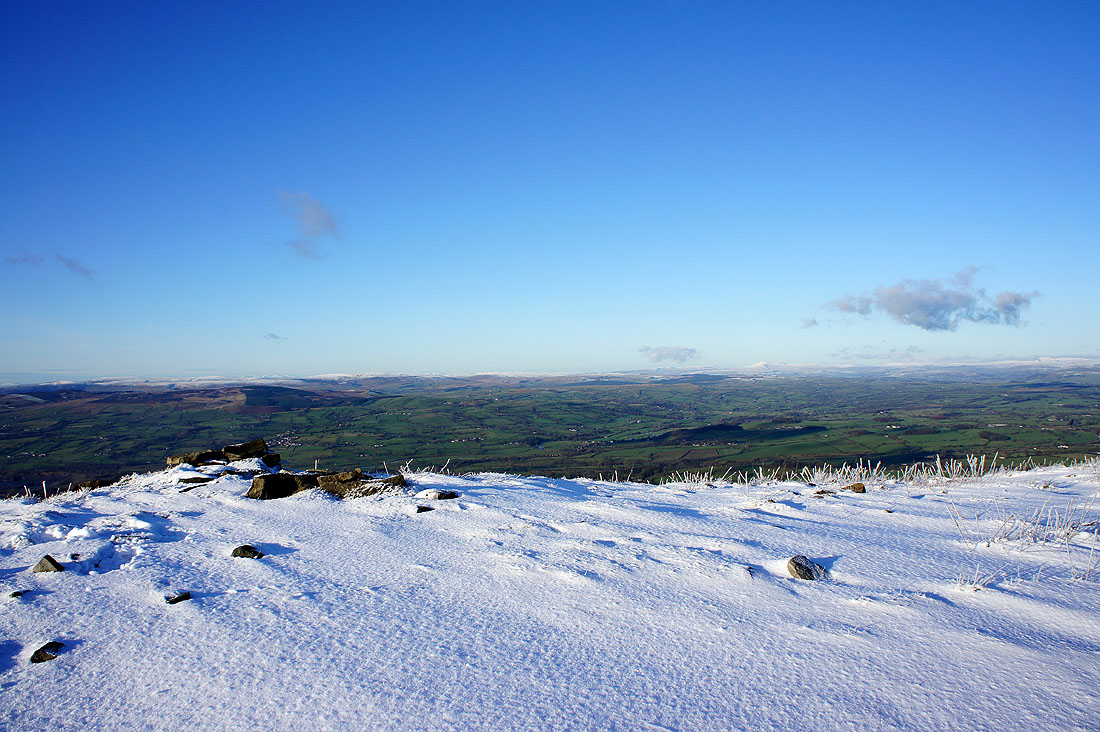
It's cold up here
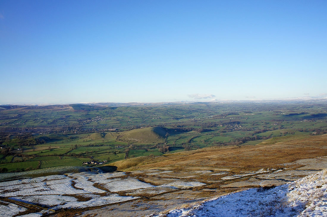
The view towards Ingleborough and Penyghent
The Forest of Bowland in the distance
Parlick, Fair Snape Fell and Totridge are the snow covered fells in the distance to the left
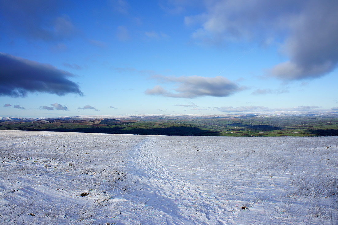
The summit ahead
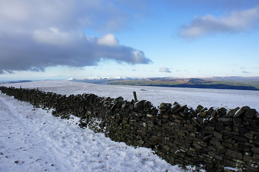
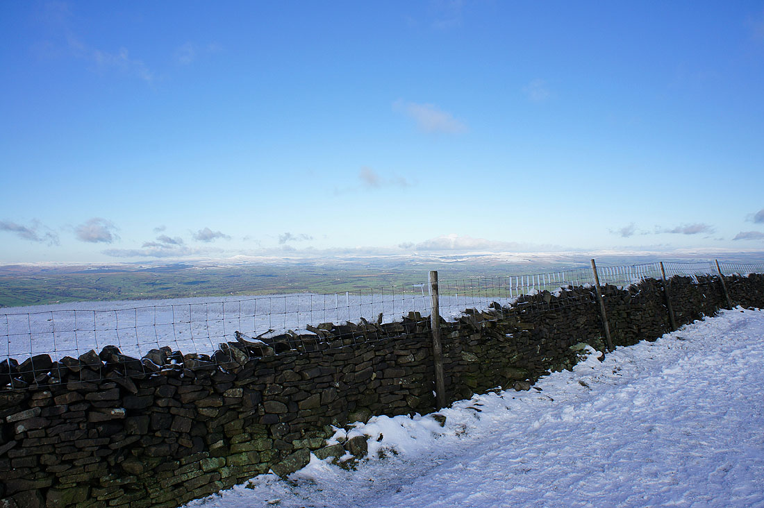
Views over the wall..
Lake District fells in the far distance beyond the Bowland fells
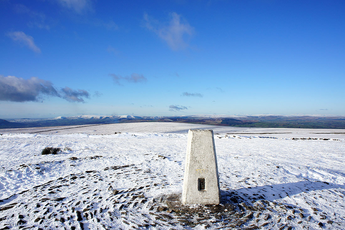
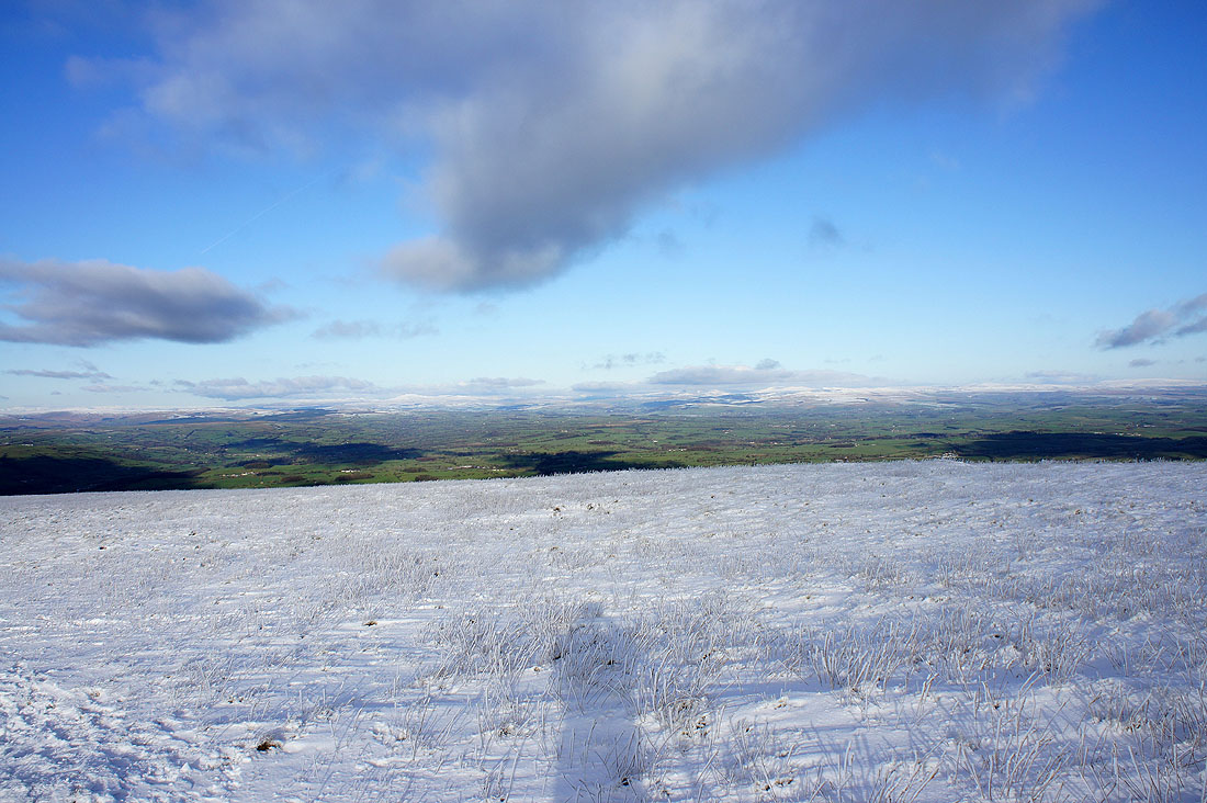
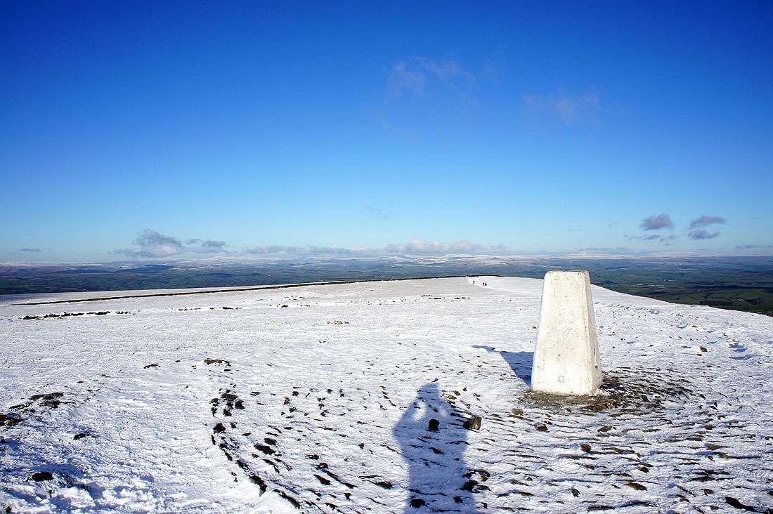
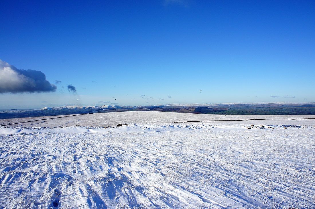
On the summit. The Forest of Bowland in the distance with Parlick, Fair Snape Fell and Totridge to the left.
A different part of the Forest of Bowland in the distance
Looking towards Ingleborough and Penyghent
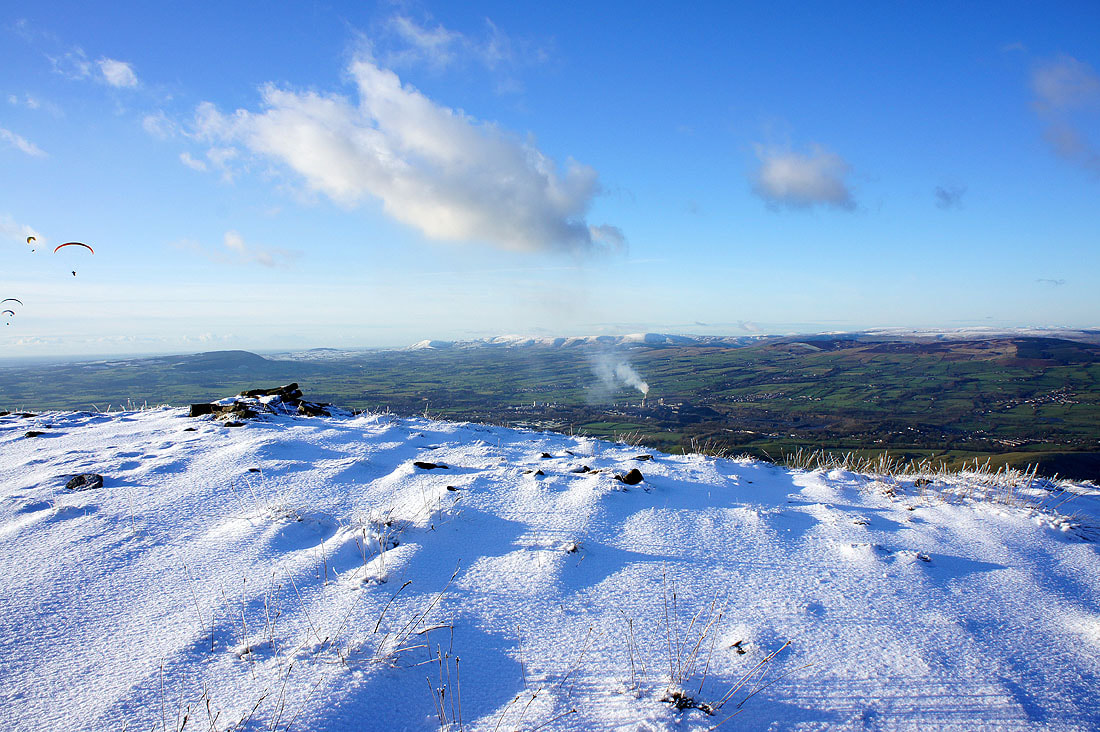
Looking towards the West Pennine Moors. Winter Hill is the high point on the right.
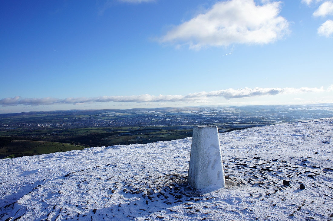
and the South Pennines
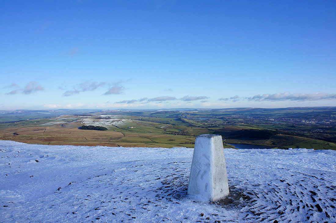
Twiston Moor and Stang Top Moor below
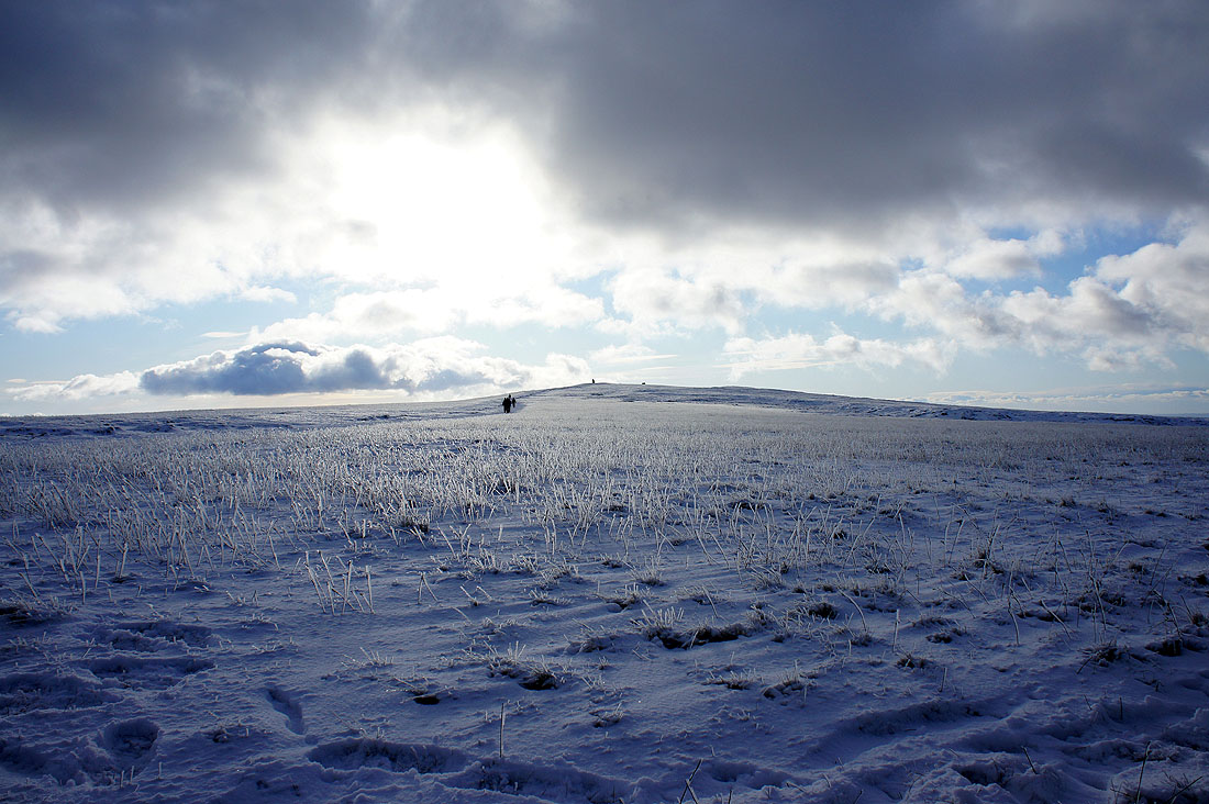
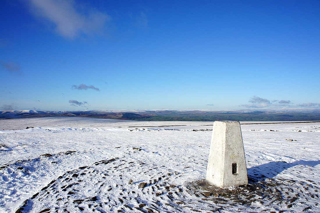
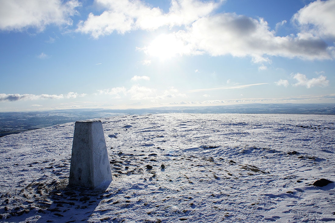
Some snowy pictures taken on the summit....
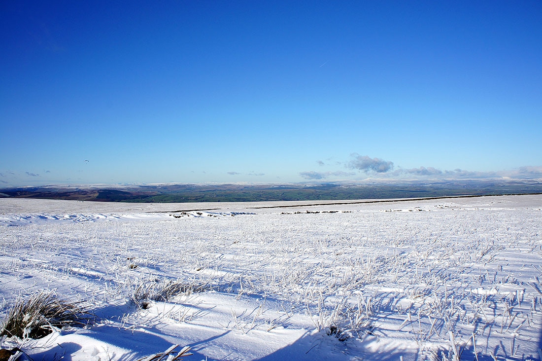
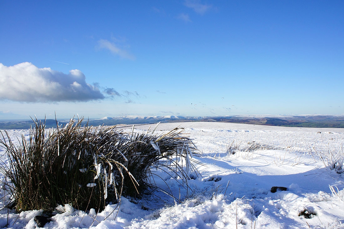
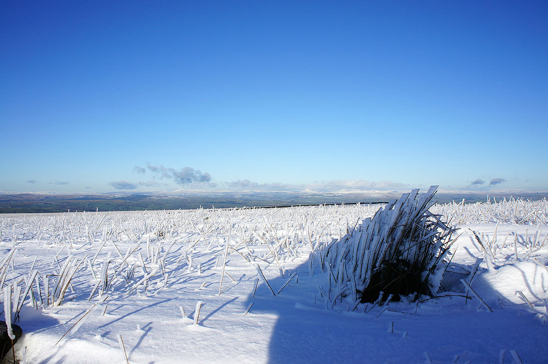
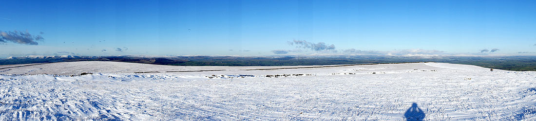
and a panorama from Parlick round to Penyghent
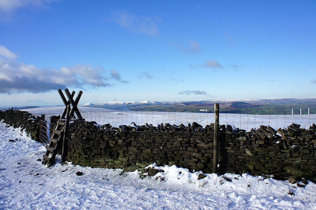
Back on the other side of the wall as I start back down
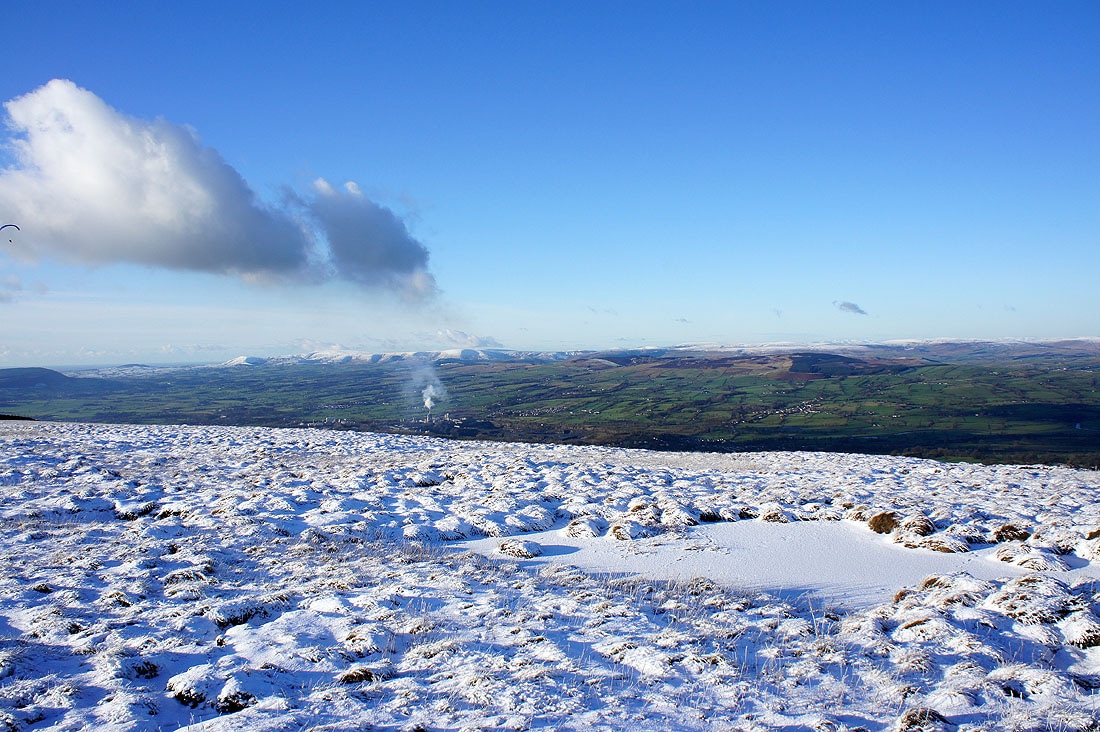
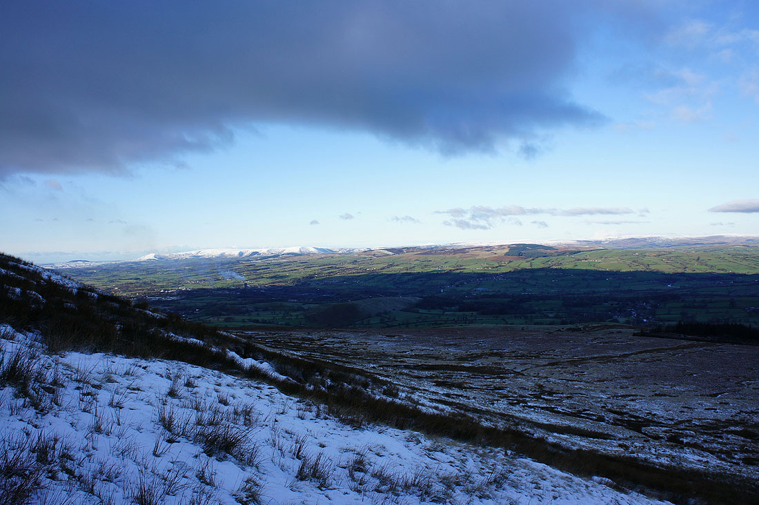
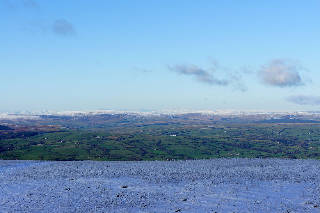
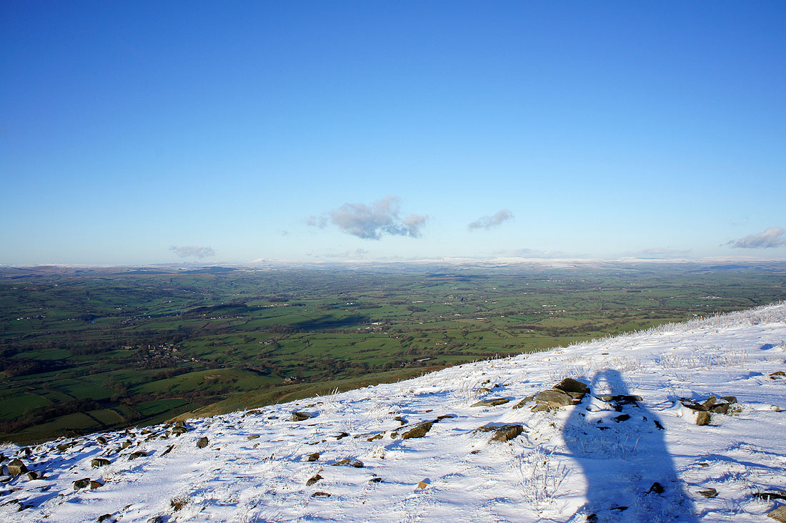
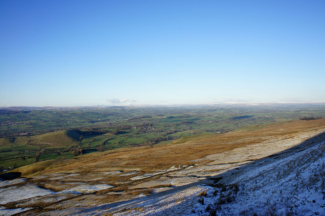
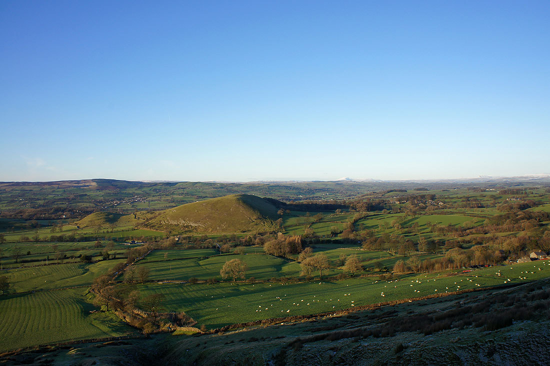
On the high point above Downham Moor looking across the Ribble valley to the Forest of Bowland..
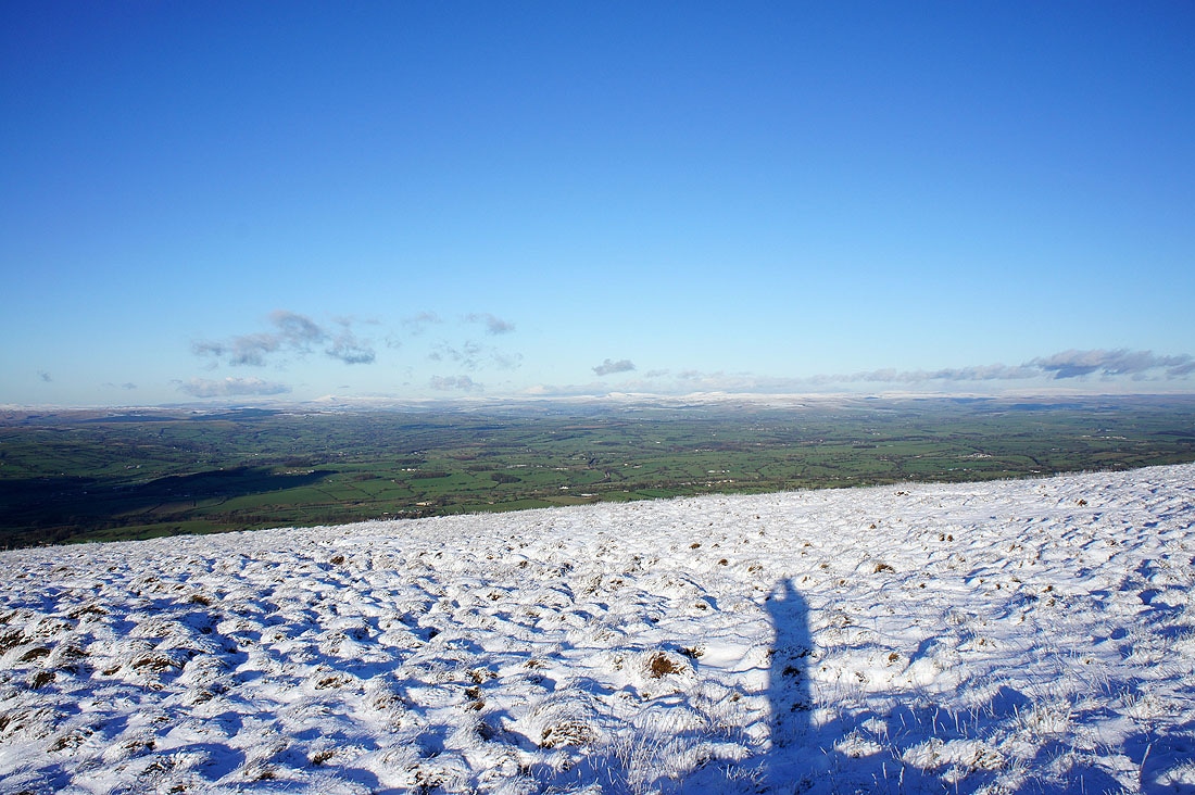
and towards Ingleborough and Penyghent
and the West Pennine Moors
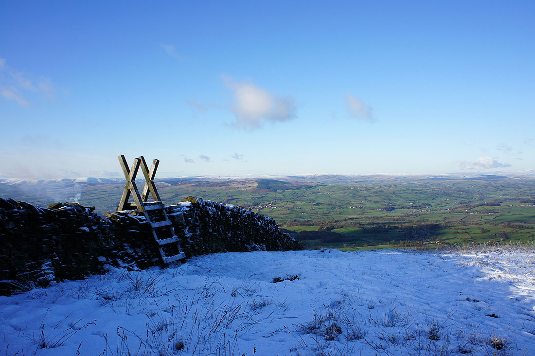
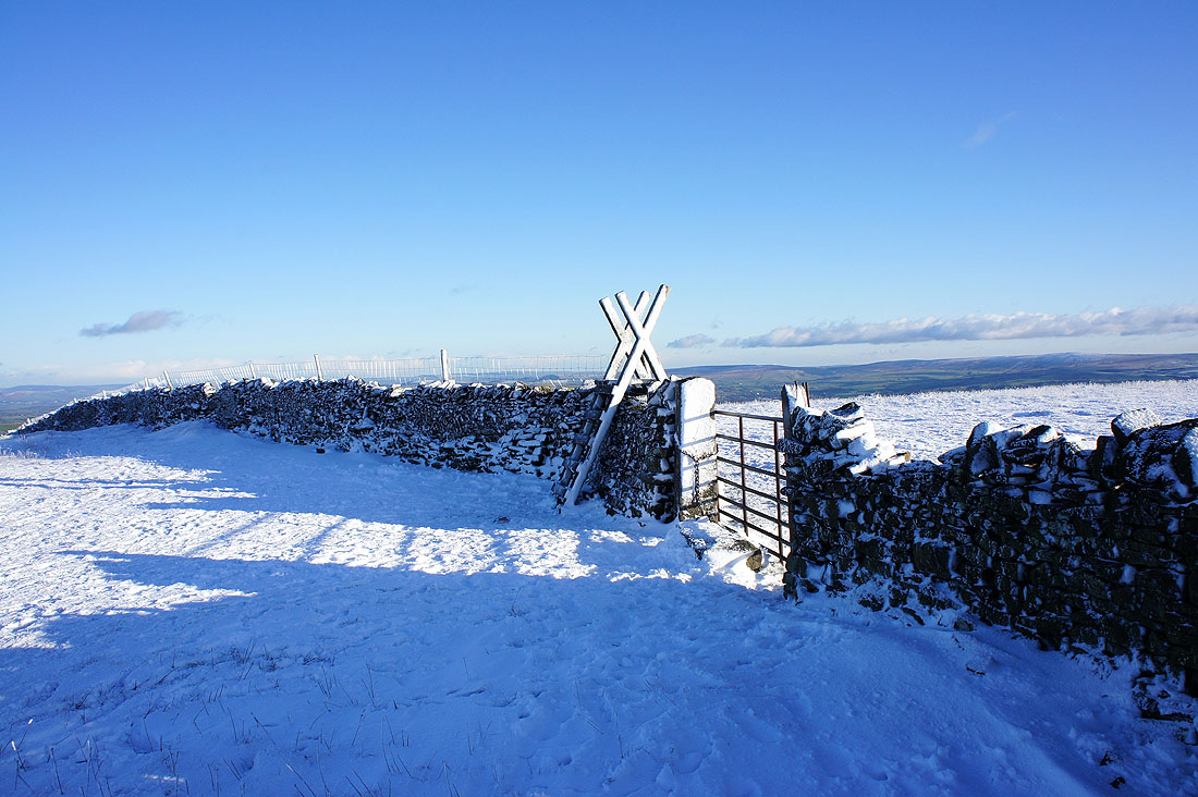
Snow with stile
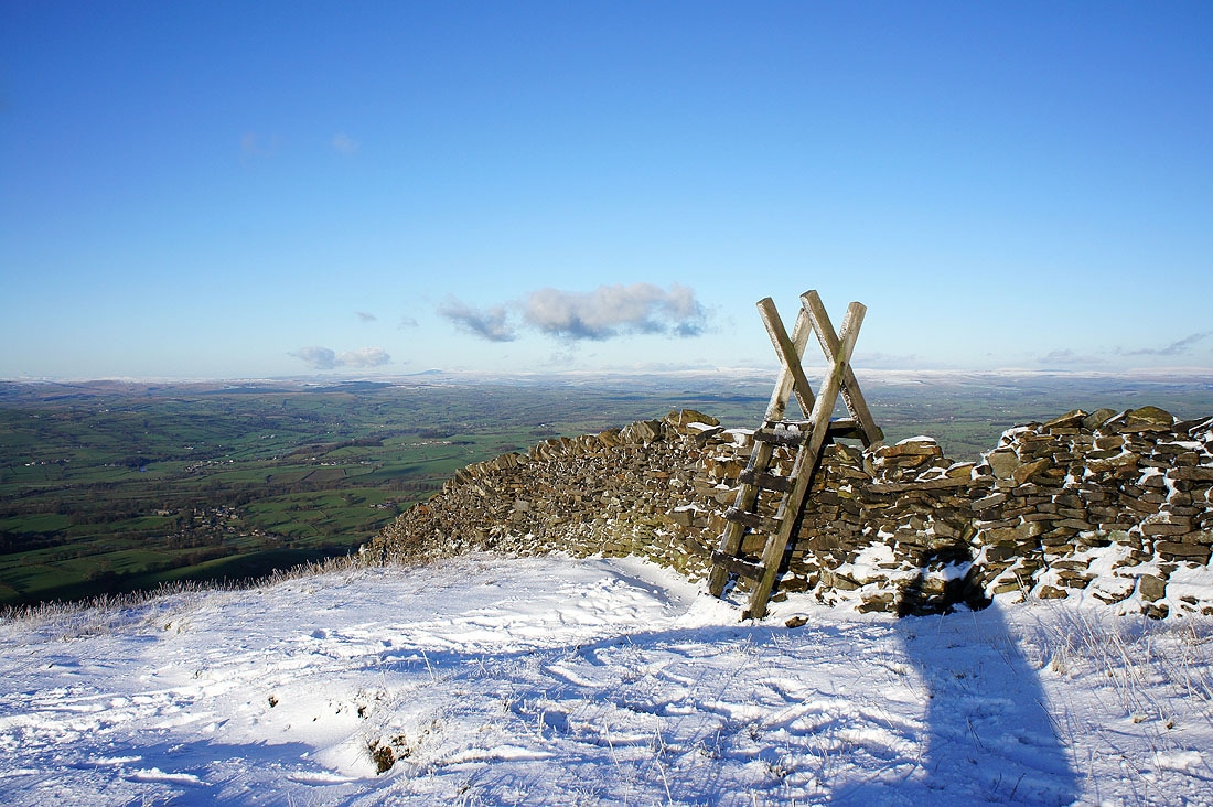
More stile than snow
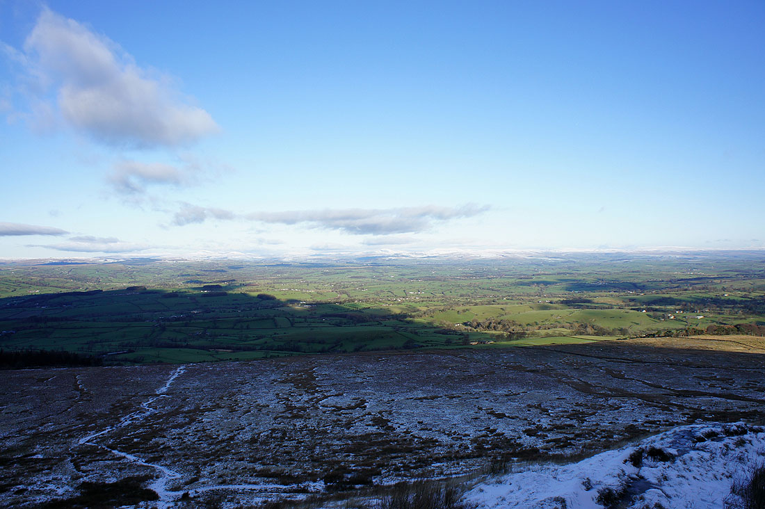
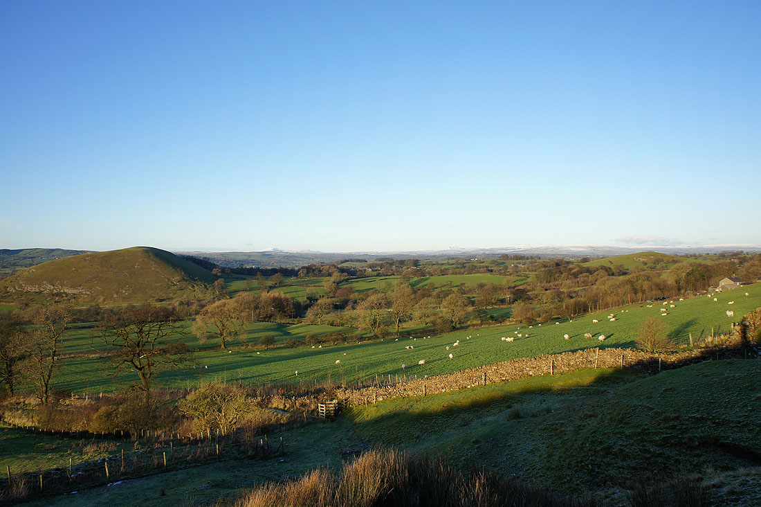
The view as I head for the descent down Worston Moor...
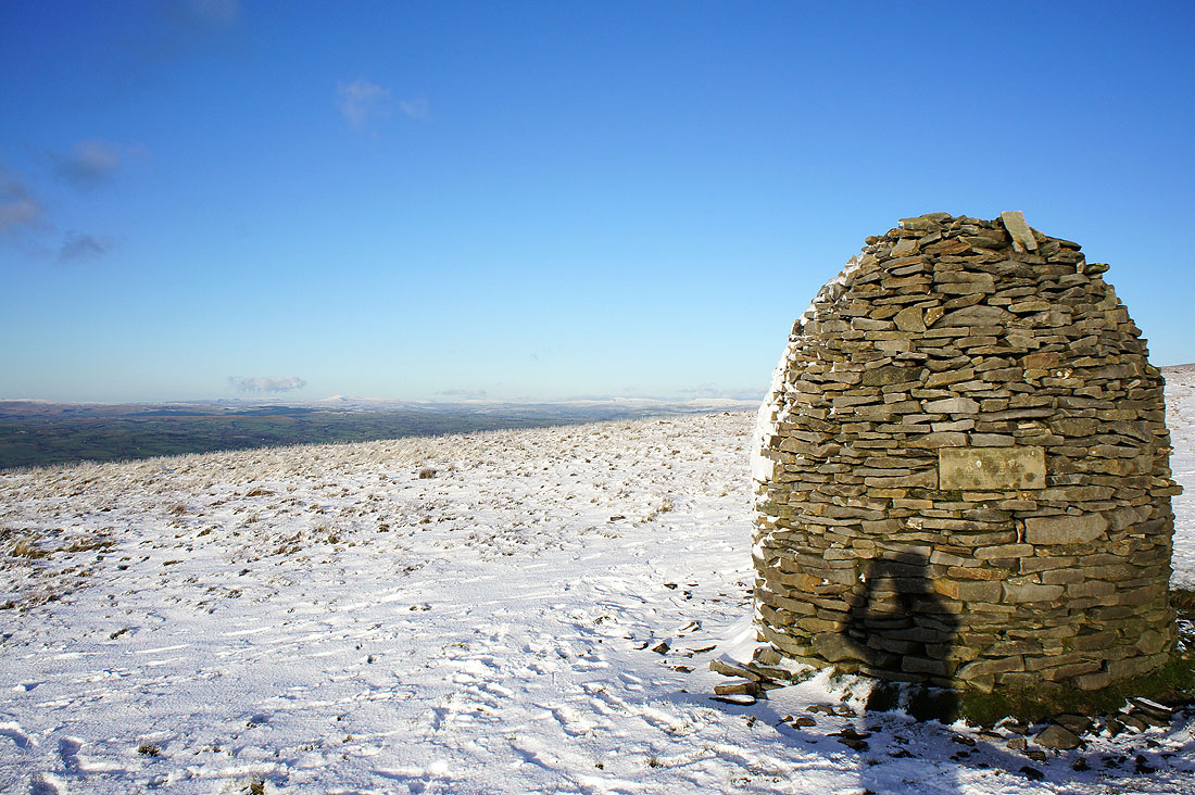
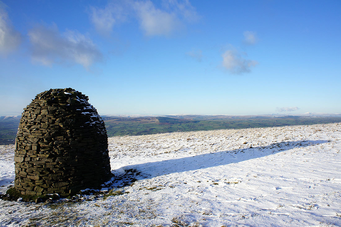
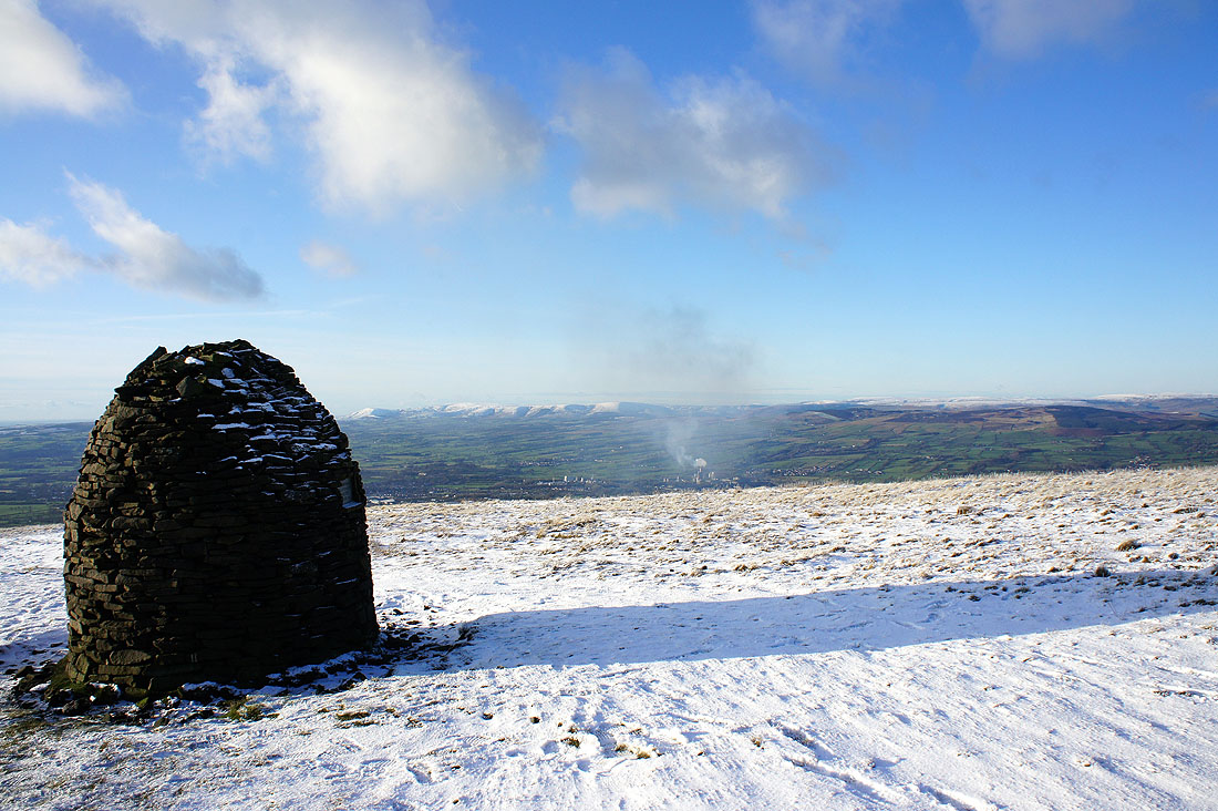
At the Scout Cairn...
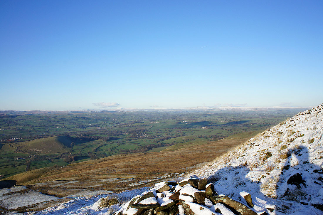
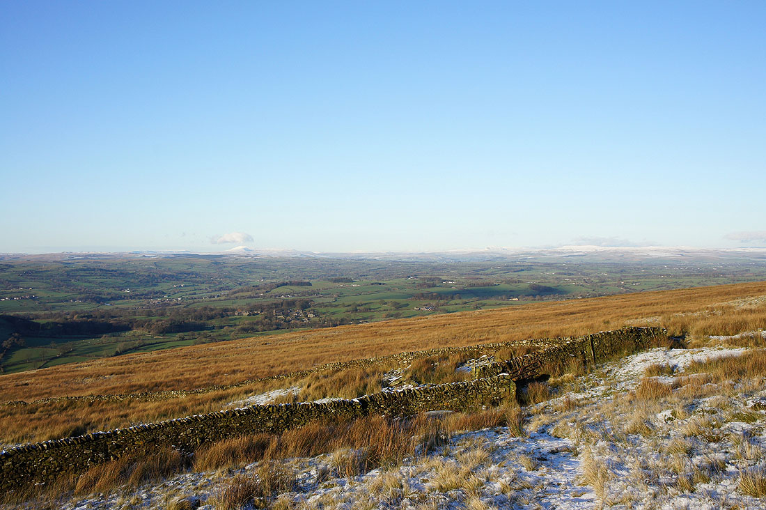
Heading down now with a view up Ribblesdale to Ingleborough and Penyghent
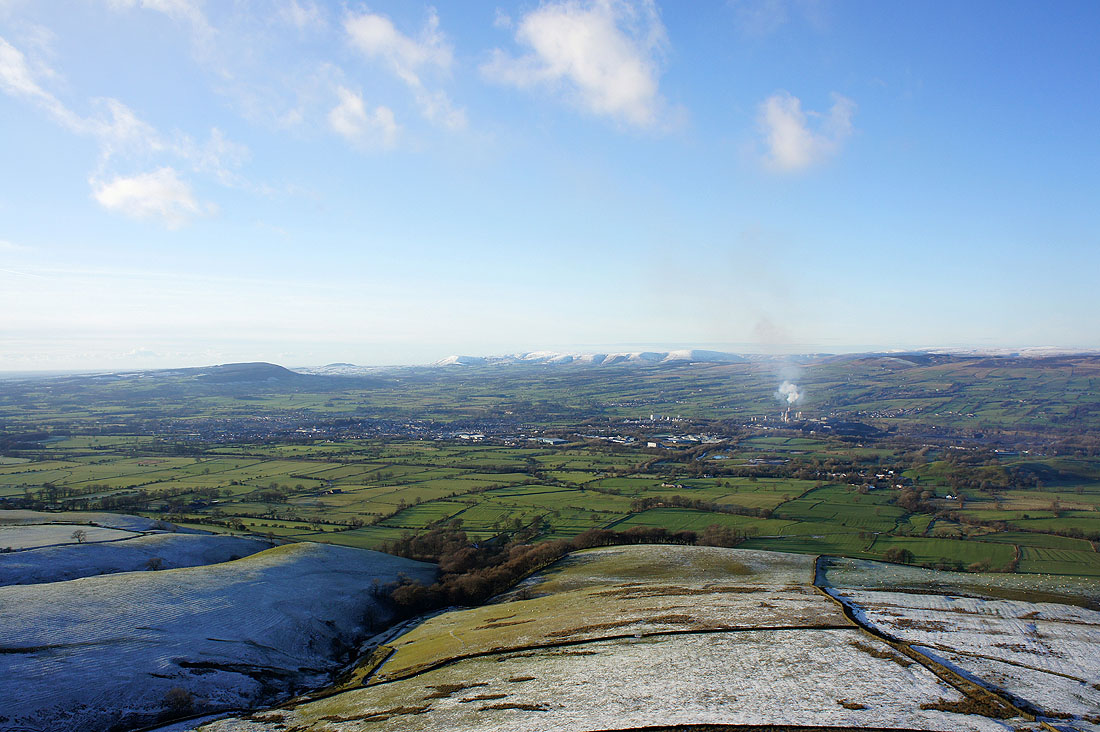
Longridge Fell on the left with Parlick, Fair Snape Fell and Totridge on the other side of Clitheroe
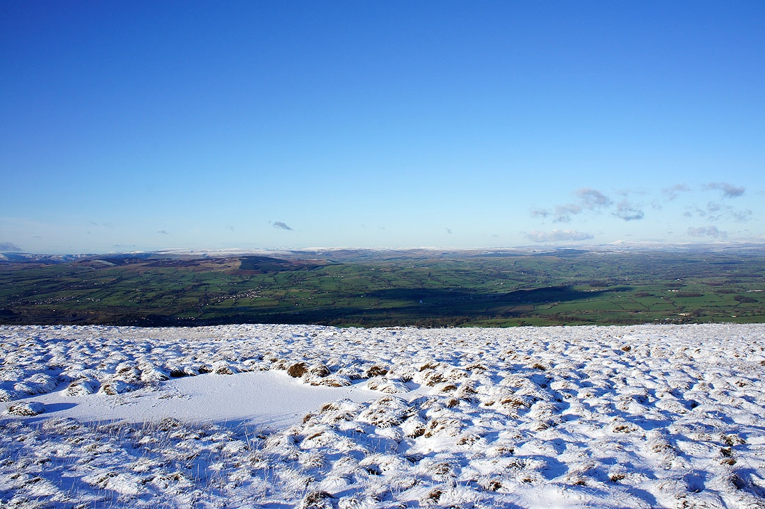
Views of Ribblesdale from the descent....
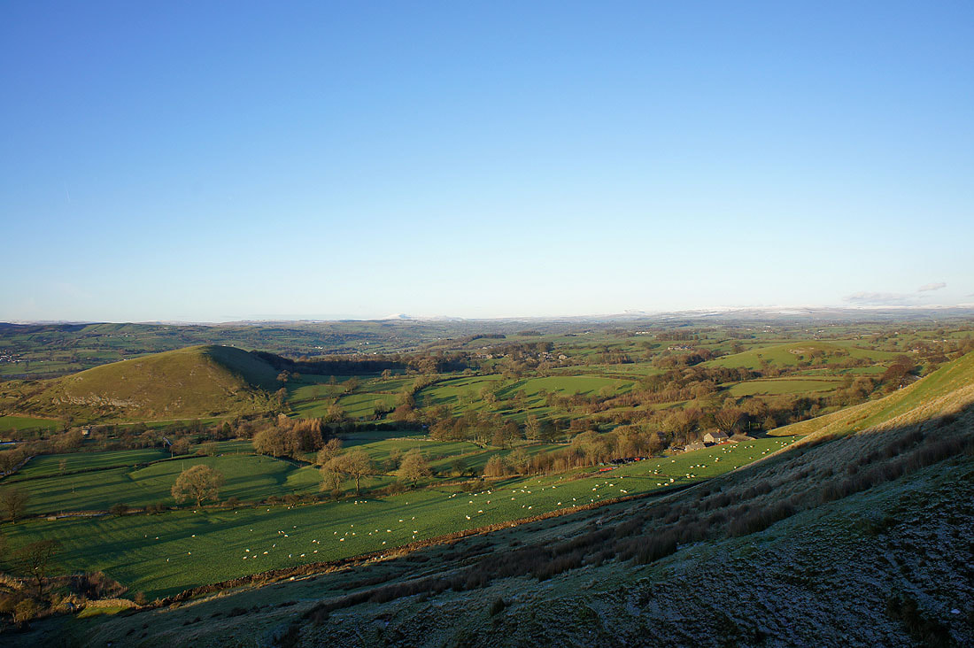
The hill in the middle of the picture is Worsaw Hill
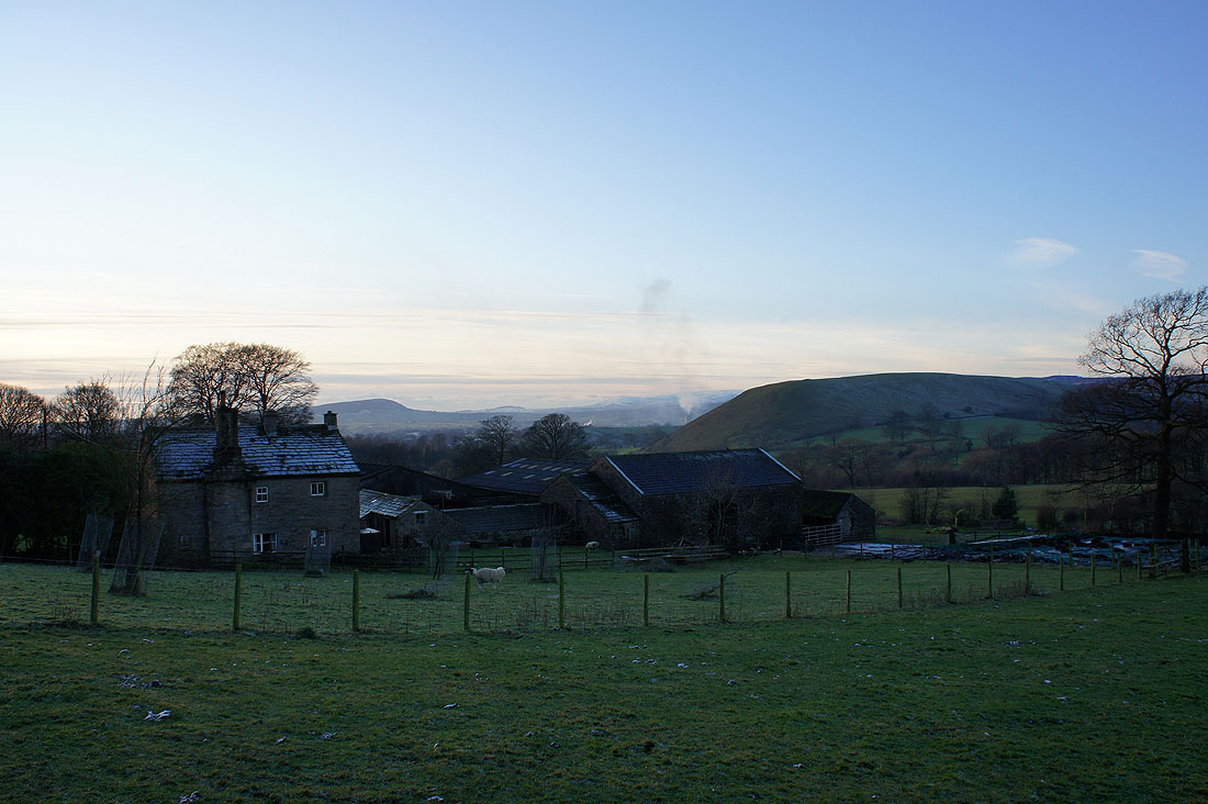
Passing Hookcliffe Farm with Longridge Fell and Worsaw Hill behind
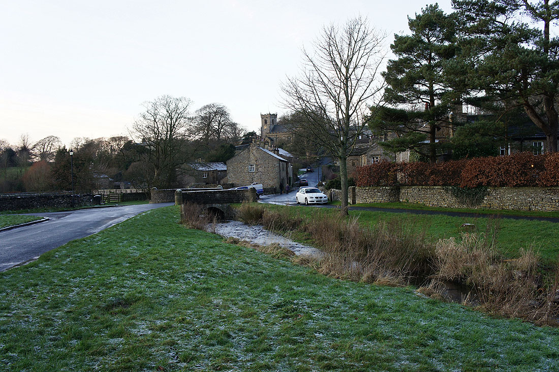
Back in Downham