18th December 2021 - The Howgills
Walk Details
Distance walked: 13.5 miles
Total ascent: 3780 ft
OS map used: OL19 - Howgill Fells & Upper Eden Valley
Time taken: 7 hrs
Route description: New Bridge, Sedbergh-Thorns Lane-Settlebeck Gill-Arant Haw-Rowantree Grains-Calders-Great Dummacks-Cautley Crag-Great Dummacks-Calders-The Calf-Bush Howe-Fell Head-Bush Howe-The Calf-Calders-Rowantree Grains-Arant Haw-Winder-Lockbank Farm-Howgill Lane- New Bridge, Sedbergh
I've been waiting a while for a weekend of fine weather and now that one has finally turned up I'm going to make the most of it. In fact, for the middle of December it couldn't be better. Clear, sunny and cold days with excellent visibility, and maybe a temperature inversion where I get to walk above the clouds on the tops of the fells. I hadn't yet done a walk on the Howgills in 2021, so it was an easy decision to drive to Sedbergh and put that right. The route that I'd originally planned to do was one that I've done many times before, head up to The Calf via Arant Haw and Calders, and then take one of the ridges to the west down to Howgill Lane for a return to Sedbergh. I changed my mind while I was up there. Wanting to keep on the tops for as long as possible I ended up basically just doing the same route up and down from Sedbergh, going all way from The Calf to Fell Head, before returning to The Calf, and heading back to Sedbergh via Winder. The forecast was spot on. I enjoyed unbroken sunshine from start to finish, and with excellent visibility there were the fantastic views to take in that the Howgills can provide.
From where I parked in the layby at New Bridge on the A684 just outside Sedbergh I walked up the A684 to its junction with the A683, and crossed the road to Thorns Lane. I then walked up Thorns Lane until I reached a footpath on the left, which I took up to Howgills Barn, across Settlebeck Gill, and up to access land. I then made my way up the path above Settlebeck Gill and joined the bridleway from Winder to The Calf, which I followed uphill towards Arant Haw before leaving it to head up to the summit of Arant Haw. From Arant Haw I returned to the bridleway and followed it north across Rowantree Grains and up to the summit of Calders. From Calders I followed the fence east to the top of Middle Tongue before continuing on to the broad top of Great Dummacks and the southern end of Cautley Crag. After retracing my steps from the southern end of Cautley Crag to Calders I took the bridleway north to the trig point on The Calf, where I stopped for lunch. After this break I took the path to the northwest to Bush Howe, and then on to Breaks Head and Fell Head. Once I'd taken in the view I made my way back to The Calf, where I stopped for another short break, back along the bridleway to Calders, then descended Rowantree Grains and made my way up to the top of Arant Haw. I then descended from Arant Haw, made my way to the top of Winder, and took a steep way down to Lockbank Farm to reach Howgill Lane, which I walked along into Sedbergh for a return to where I was parked.
Route map
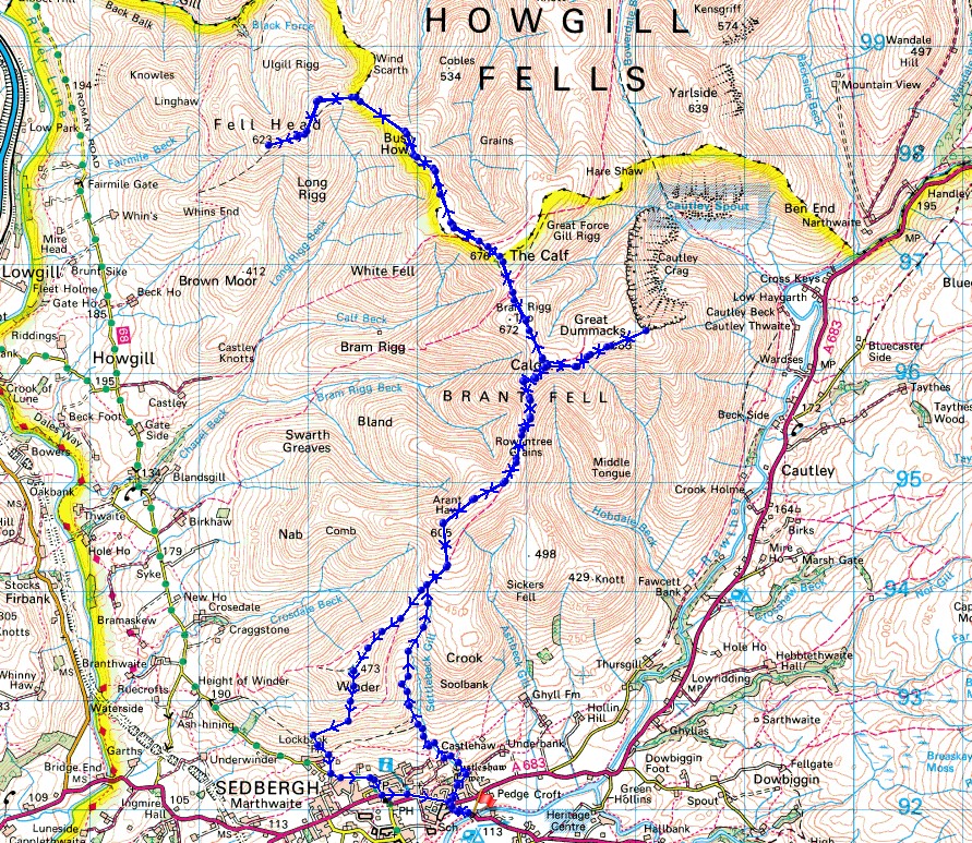
© Crown copyright. All rights reserved. License number PU 100034184.
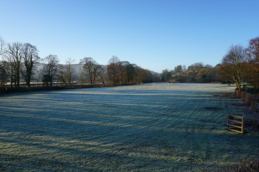
There are frosty fields in Sedbergh this morning
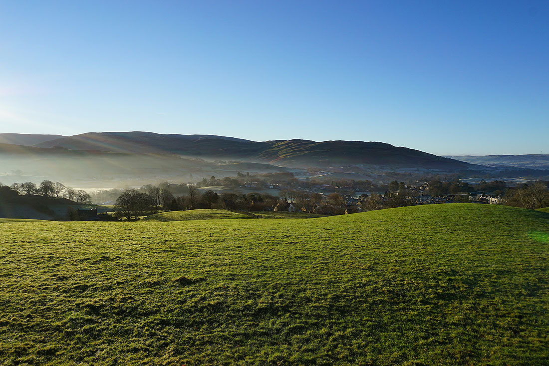
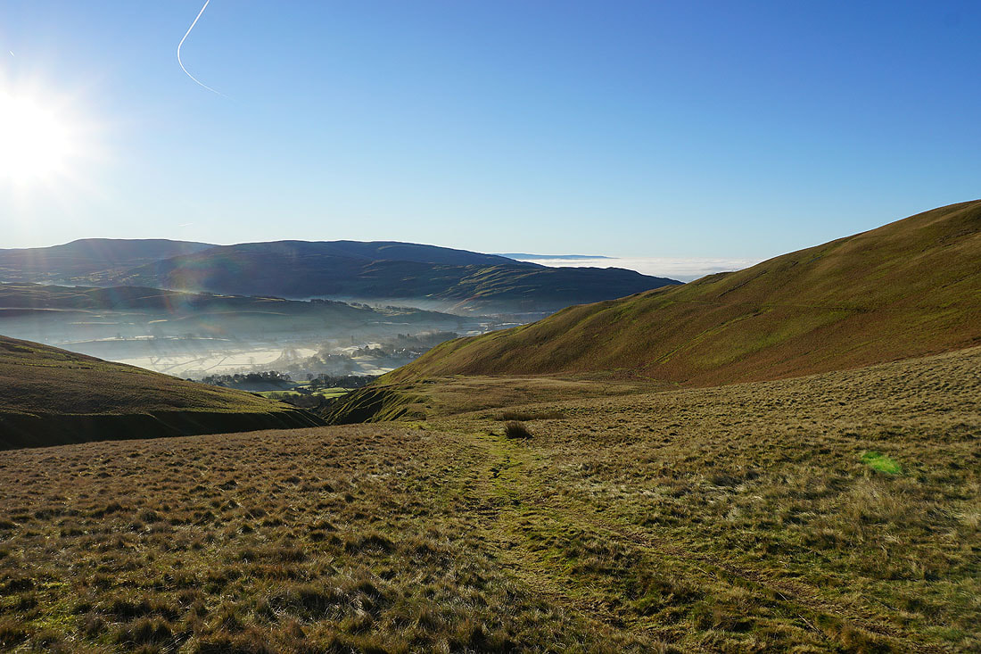
Mist over Sedbergh as I leave it behind
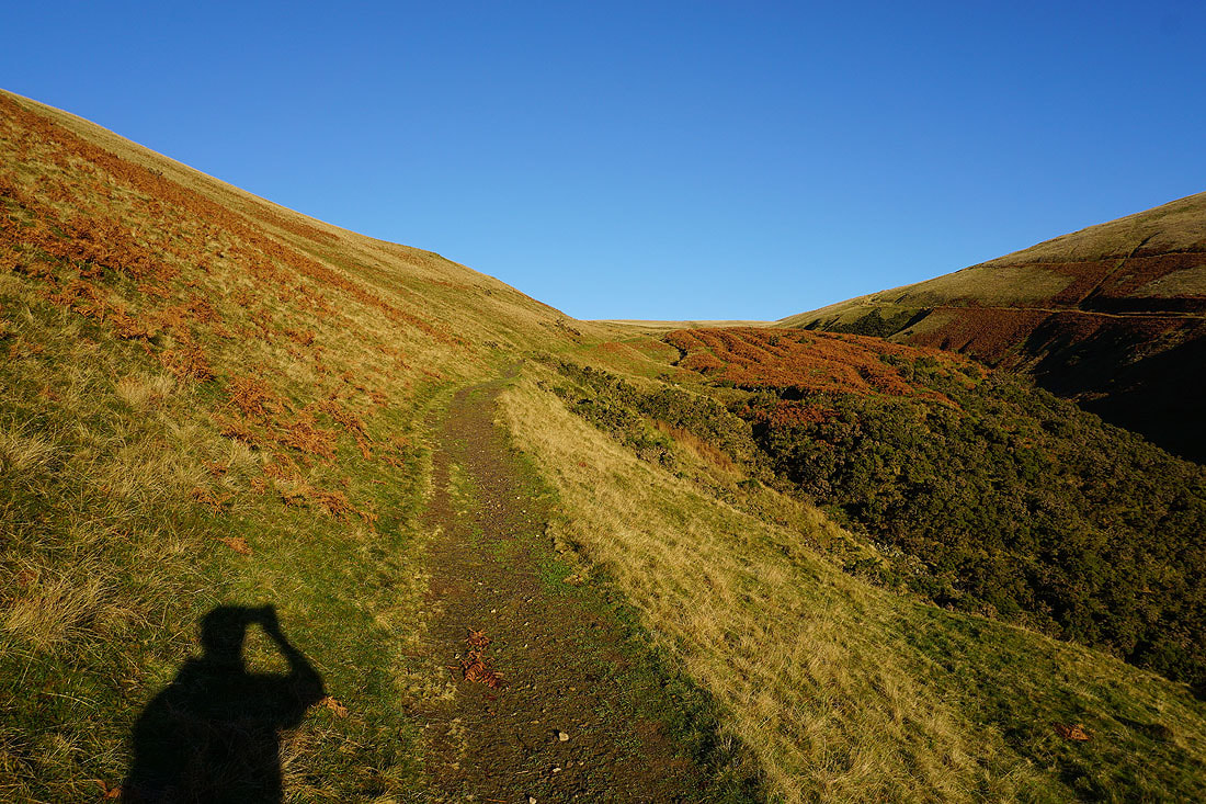
Heading up Settlebeck Gill
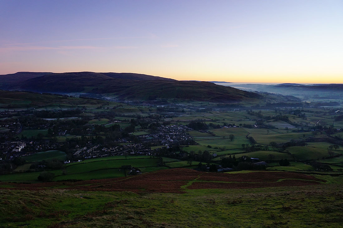
Looking back down Settlebeck Gill to Sedbergh with Middleton Fell beyond
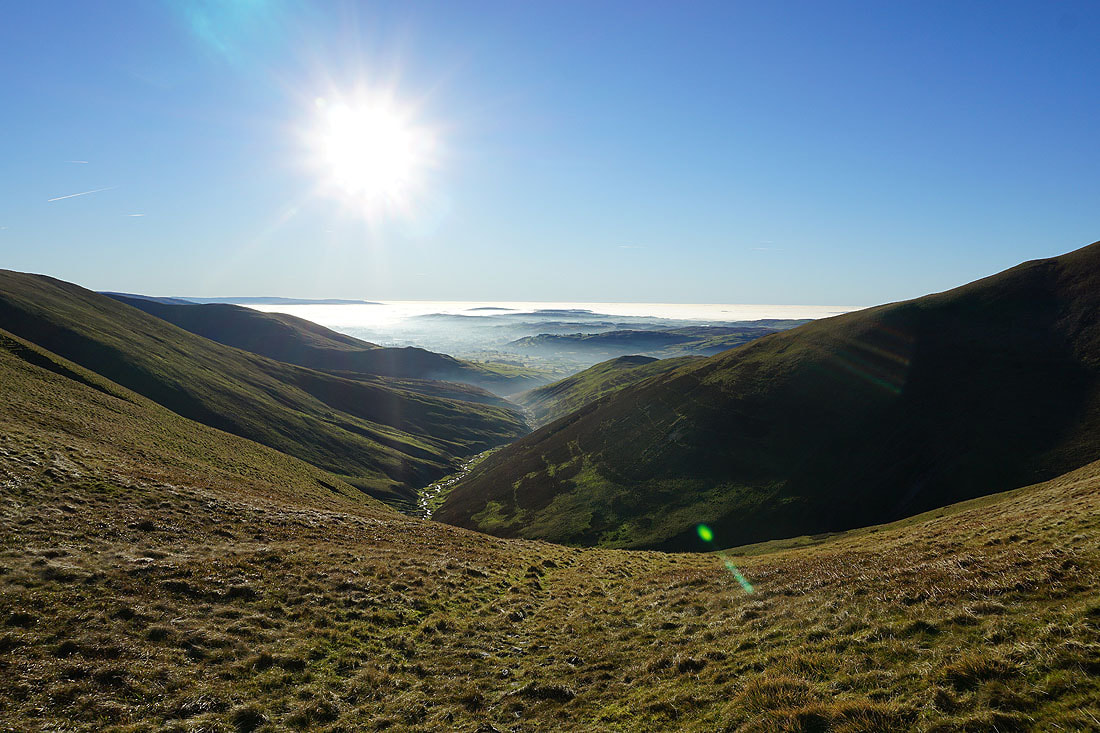
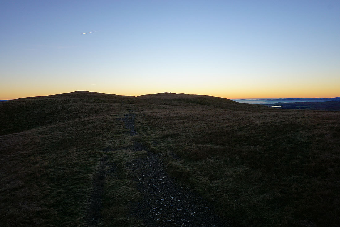
From the top of Settlebeck Gill I head for the top of Arant Haw
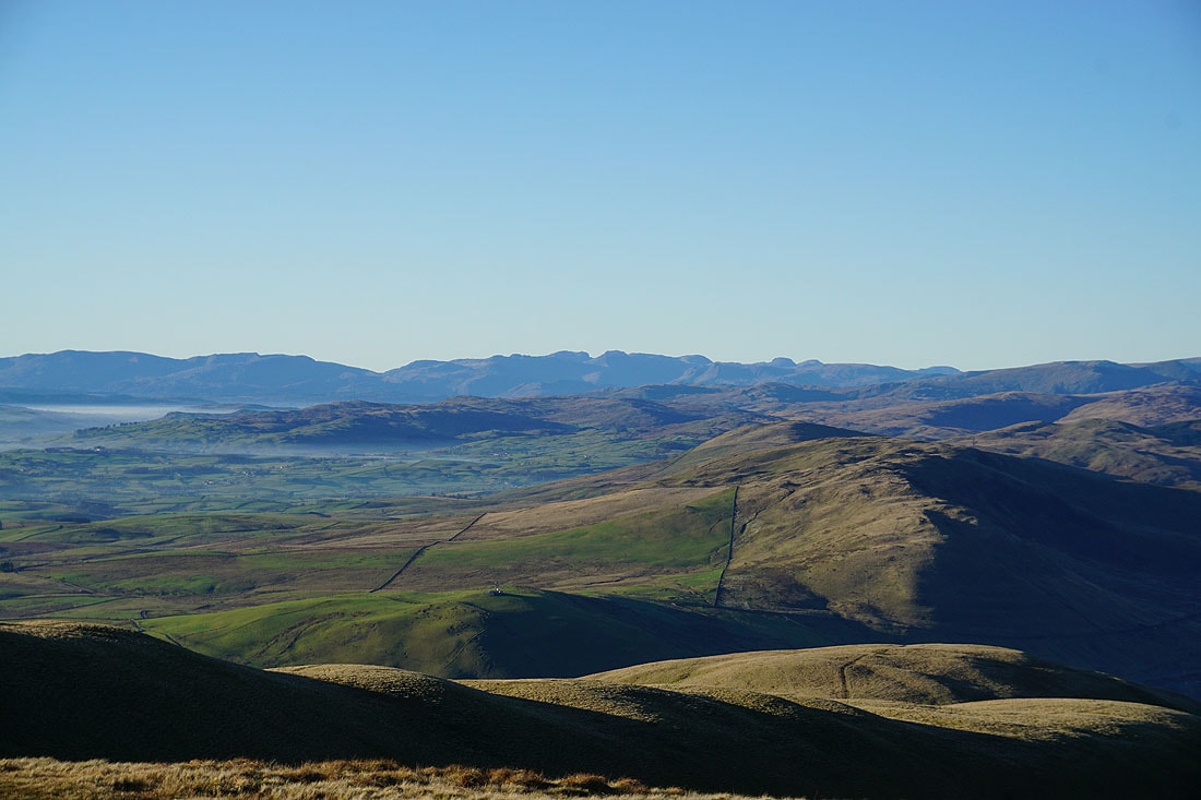
My first view of the Lake District fells in the distance to the west
On the summit of Arant Haw. Looking north to The Calf, Bram Rigg Top and Calders.
The Lake District fells in the distance to the west
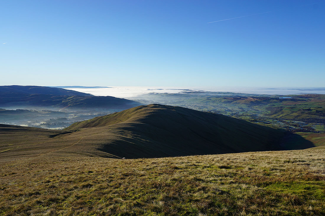
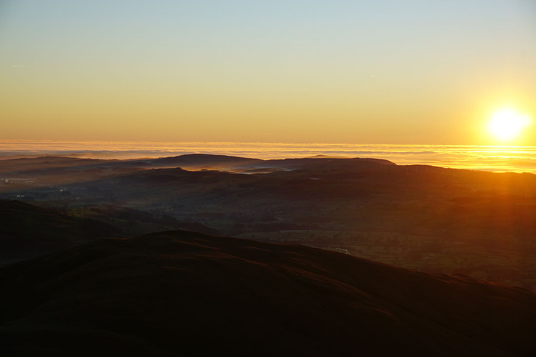
The hill of Winder below with fog lower down Lunesdale
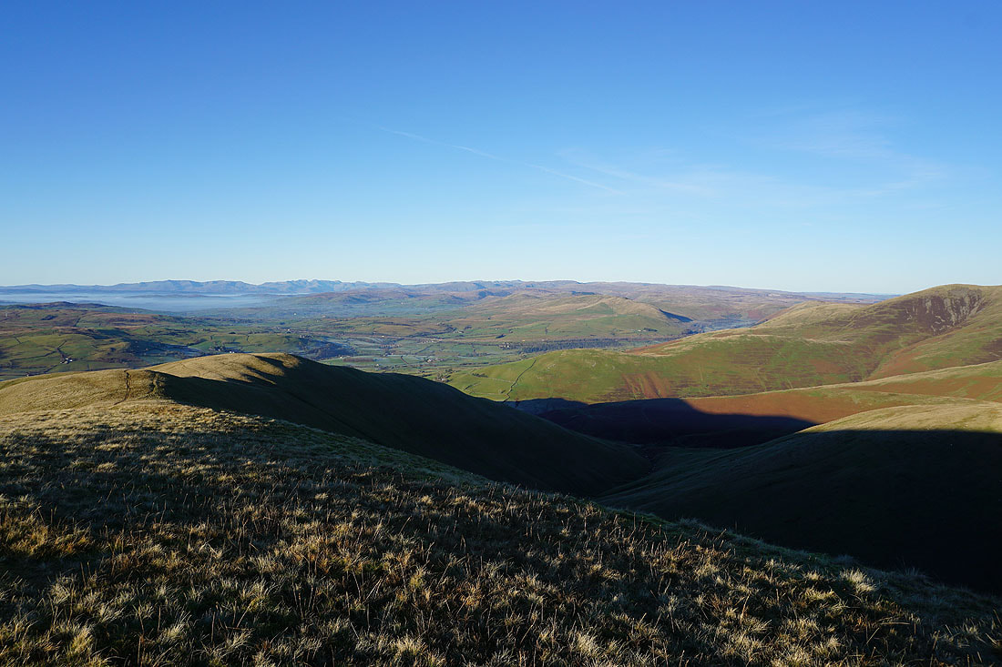
Looking southeast to Aye Gill Pike, Penyghent, Whernside, Ingleborough and Great Coum, with the Rawthey valley below
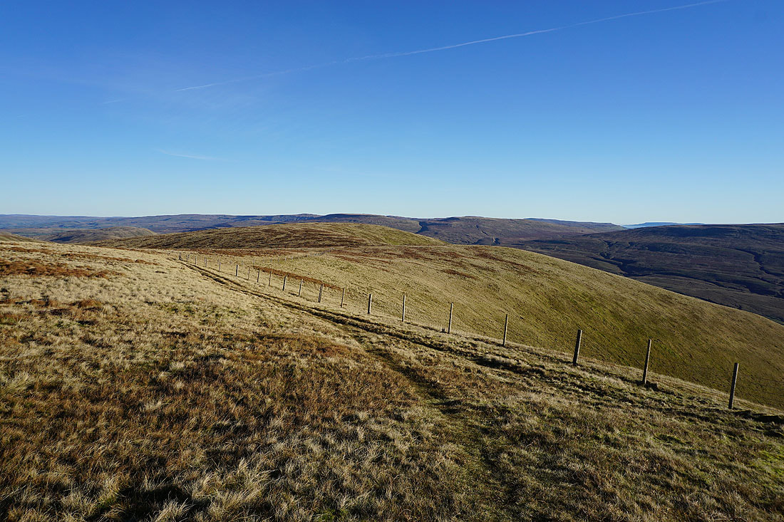
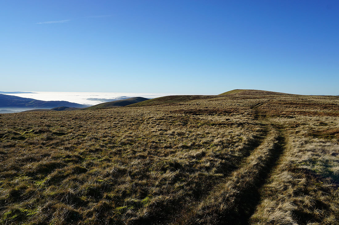
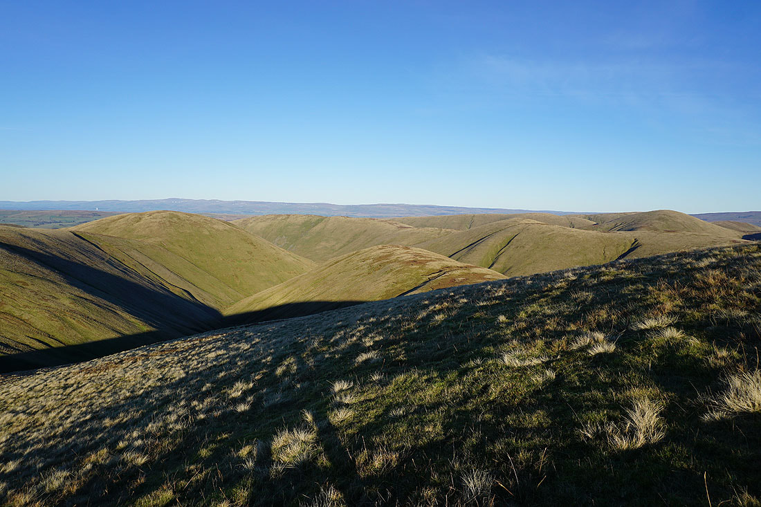
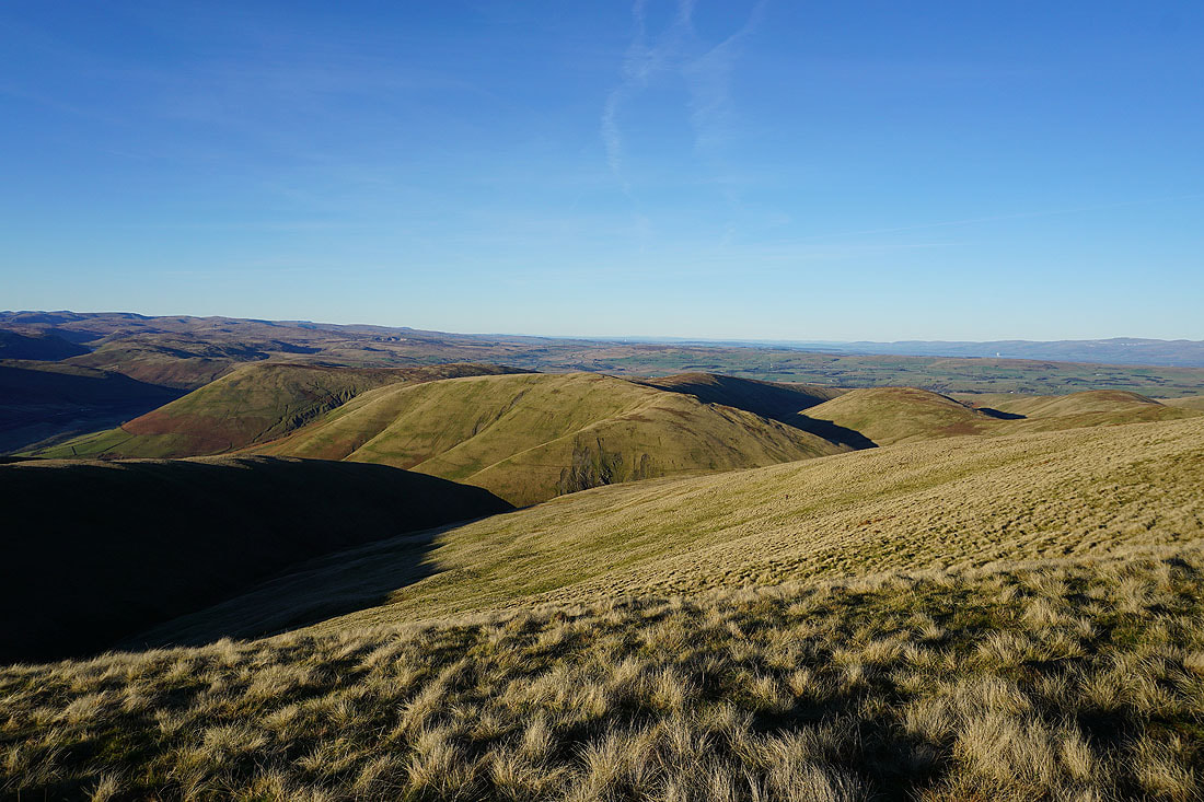
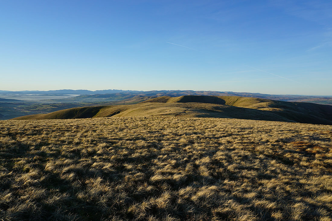
Making my way across Rowantree Grains to Calders
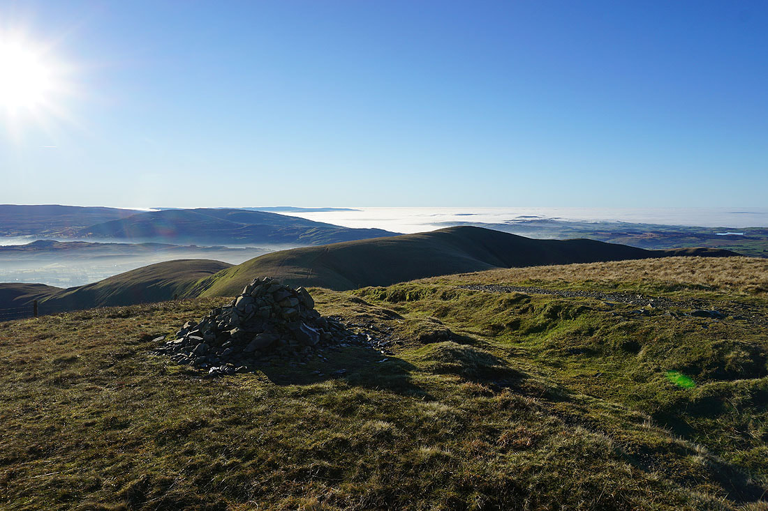
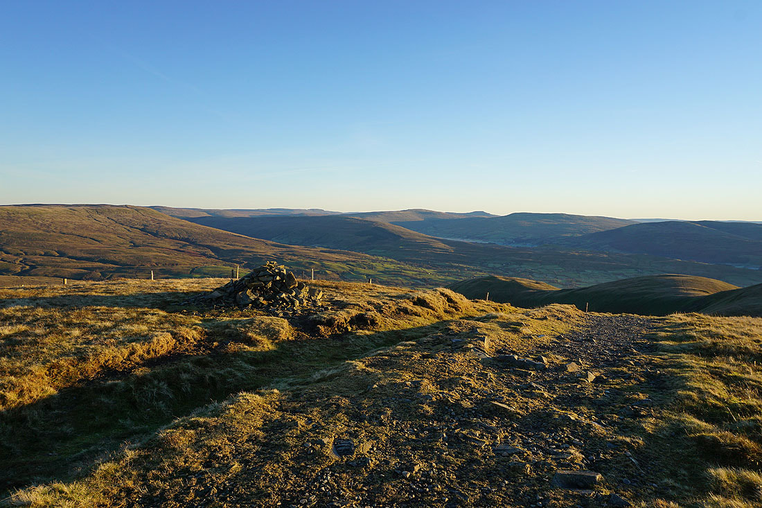
At the summit cairn on Calders. What a fantastic day for being up here.
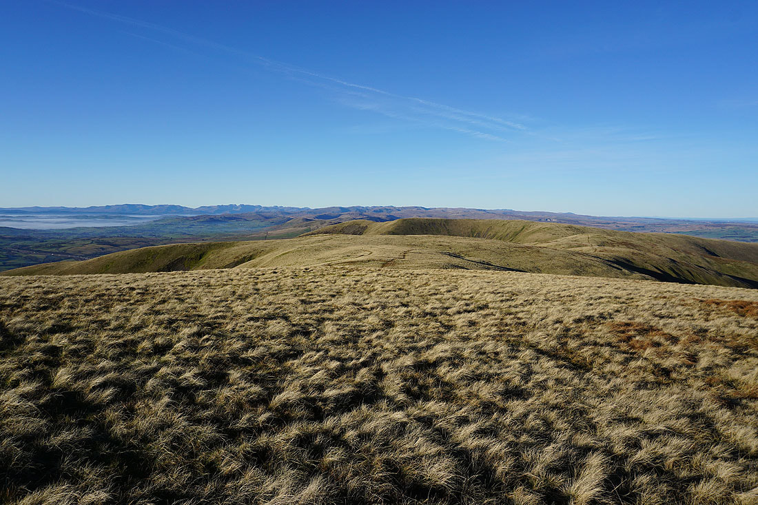
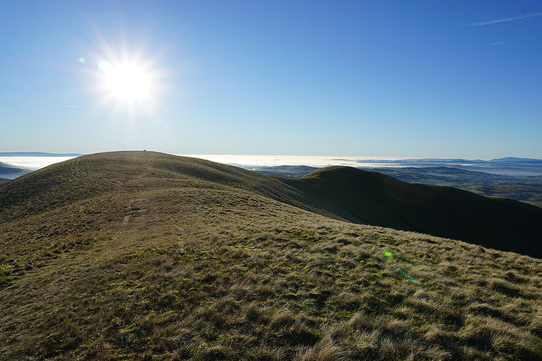
Bram Rigg Top and The Calf, along with Calders, make up the high central plateau of the Howgills
Lots of ridges descending from the neighbouring fells into Lunesdale, with the Lake District fells in the distance
Looking south to Ingleborough, Great Coum, Middleton Fell, and the neighbouring Arant Haw
The grassy mound of Great Dummacks, with Wild Boar Fell and Swarth Fell in the distance
Calders, Bram Rigg Top and The Calf as I head to Great Dummacks and the top of Cautley Crag
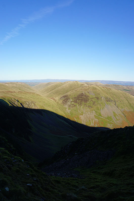
There's a deep shadow cast by Cautley Crag as I look across the valley of Cautley Holme Beck to Bowderdale Head and Yarlside
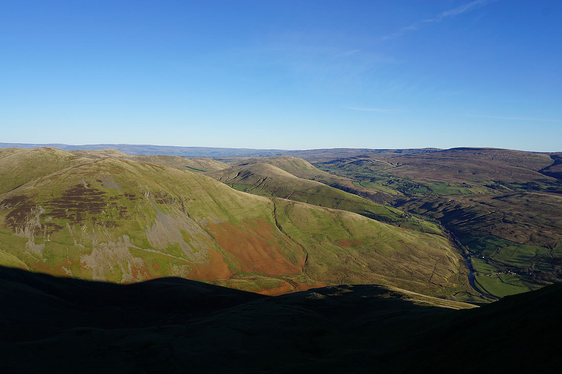
Yarlside, Wandale Hill and Harter Fell, with Wild Boar Fell on the right above the River Rawthey
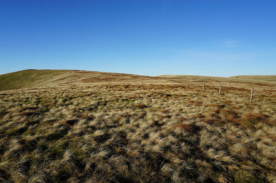
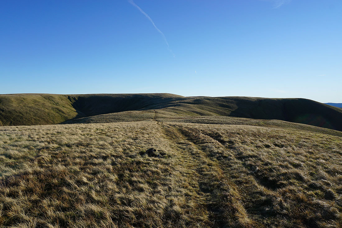
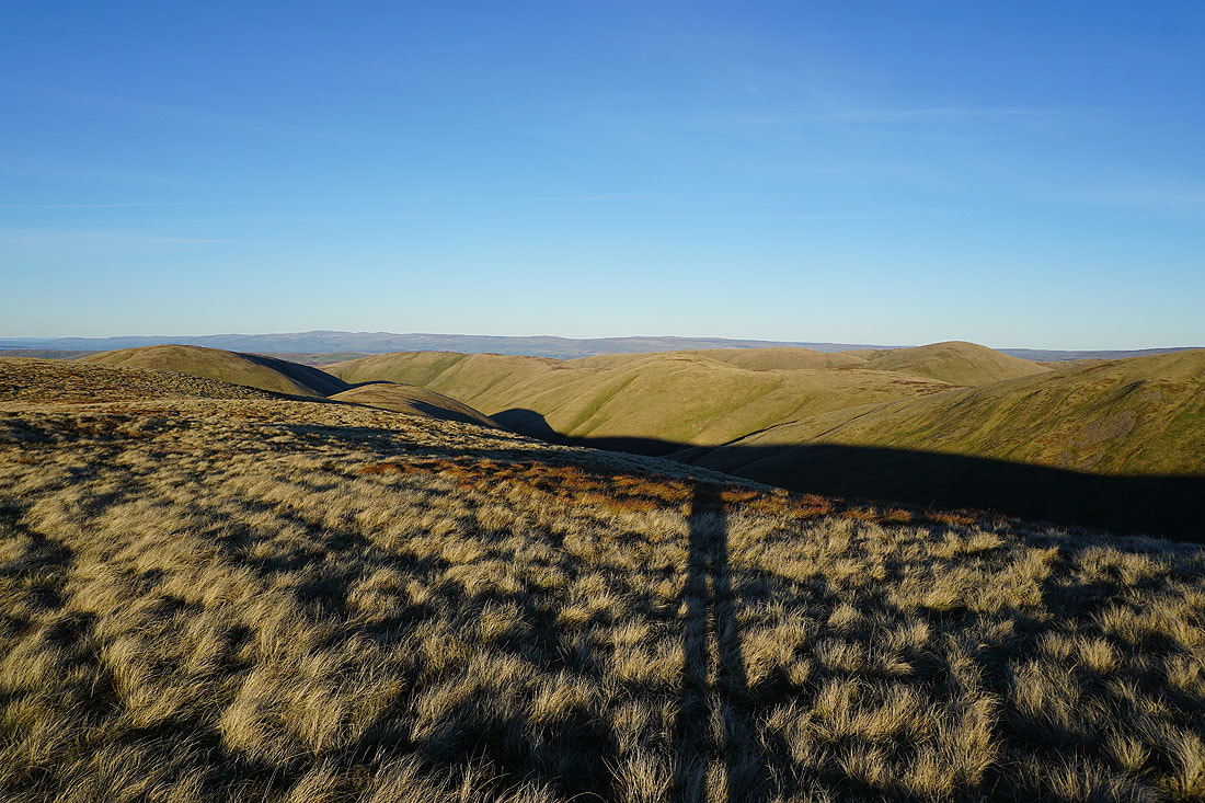
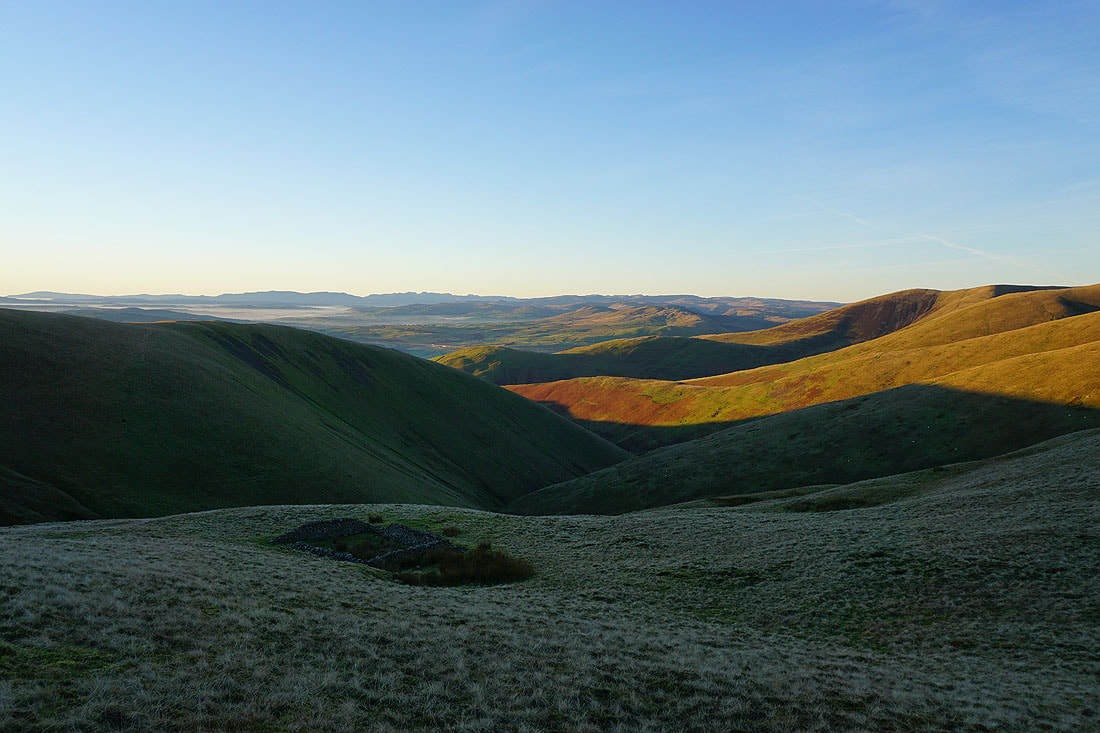
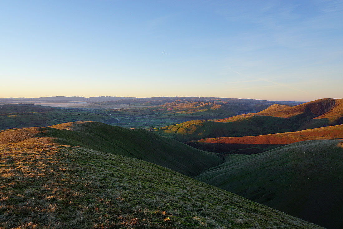
Heading back to Calders
There's a great view from the top of Middle Tongue across the Rawthey valley to Aye Gill Pike, Whernside, Ingleborough, Great Coum and Middleton Fell
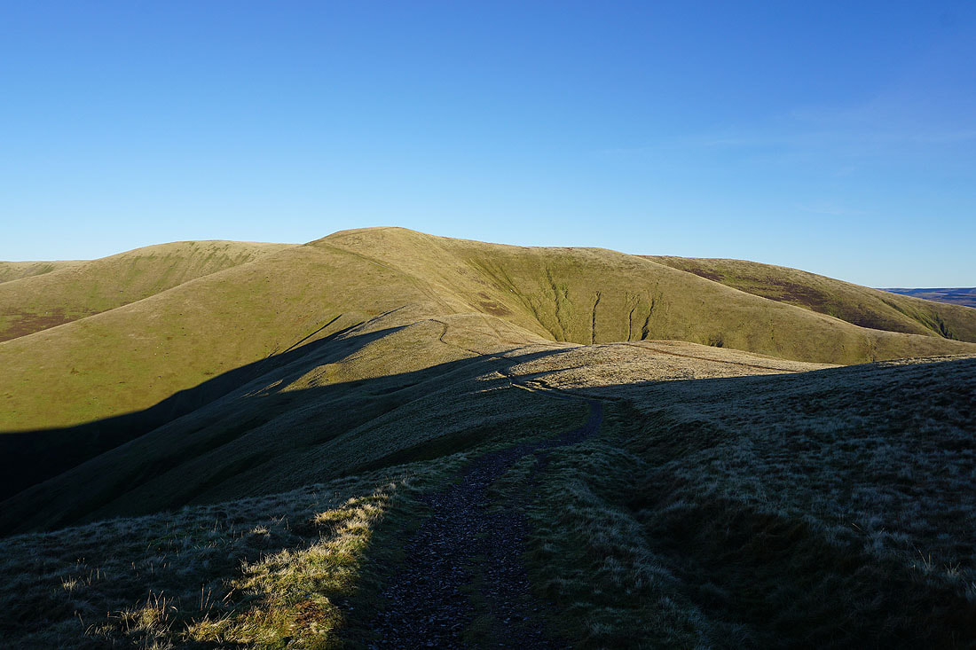
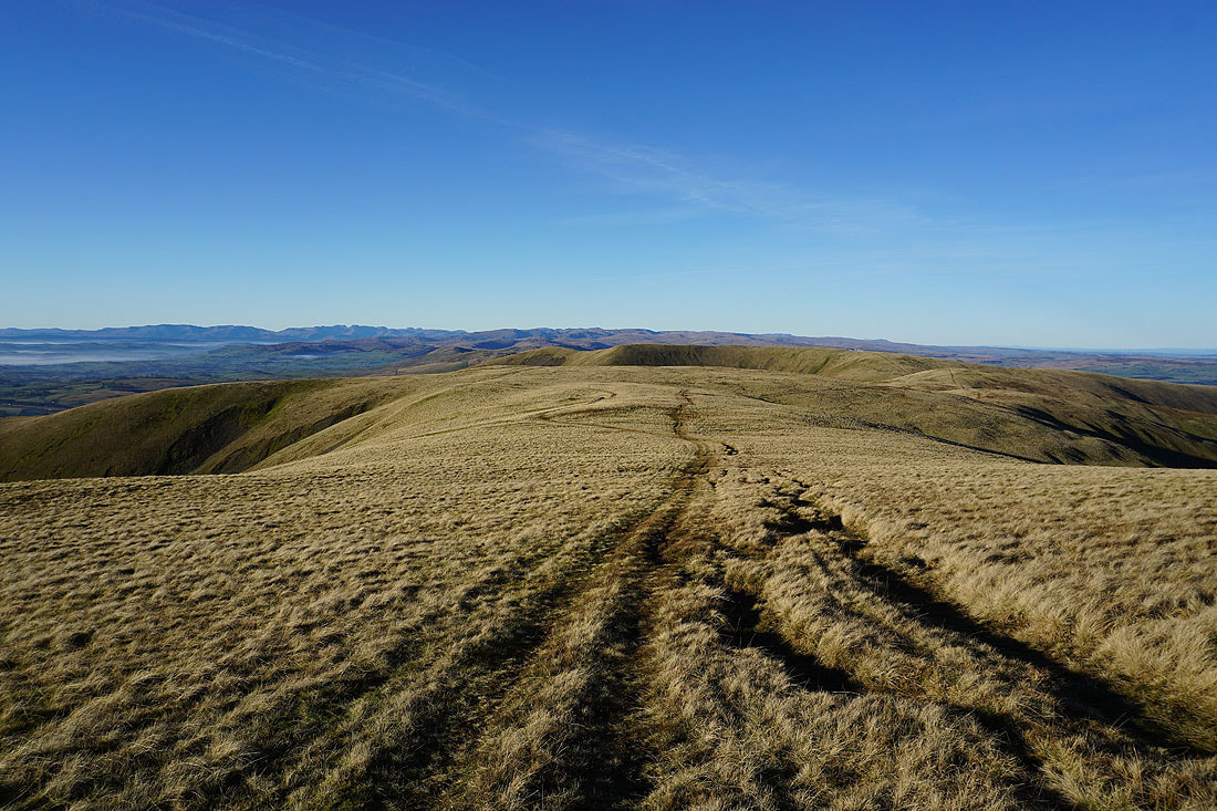
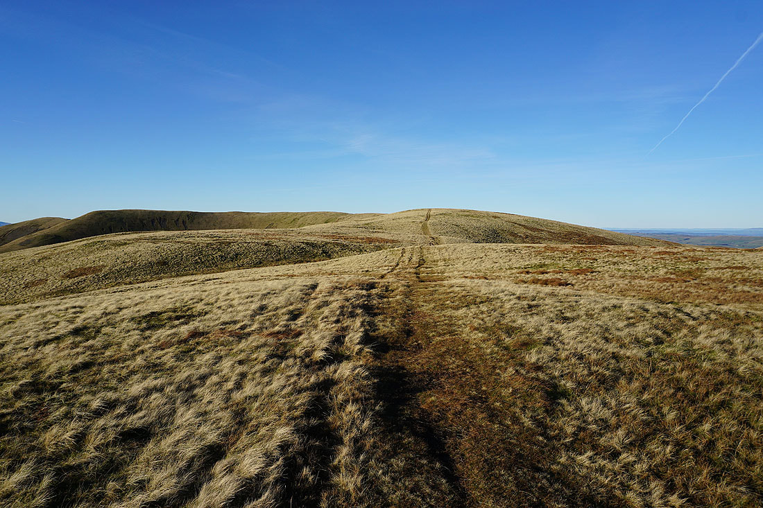
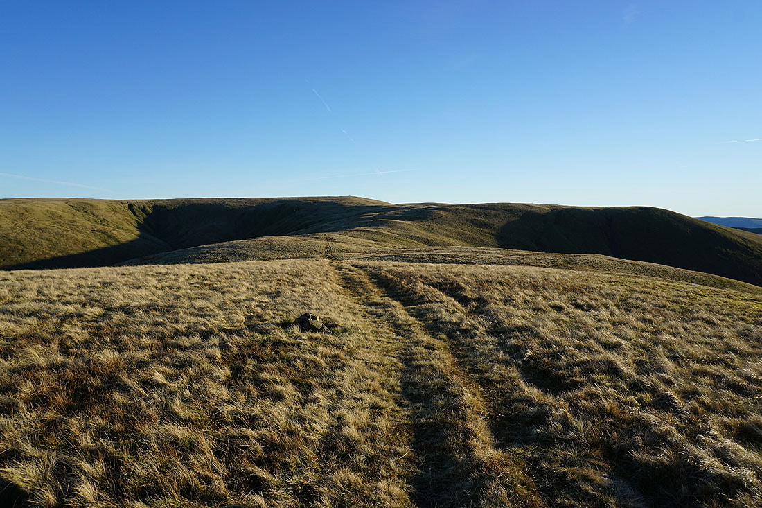
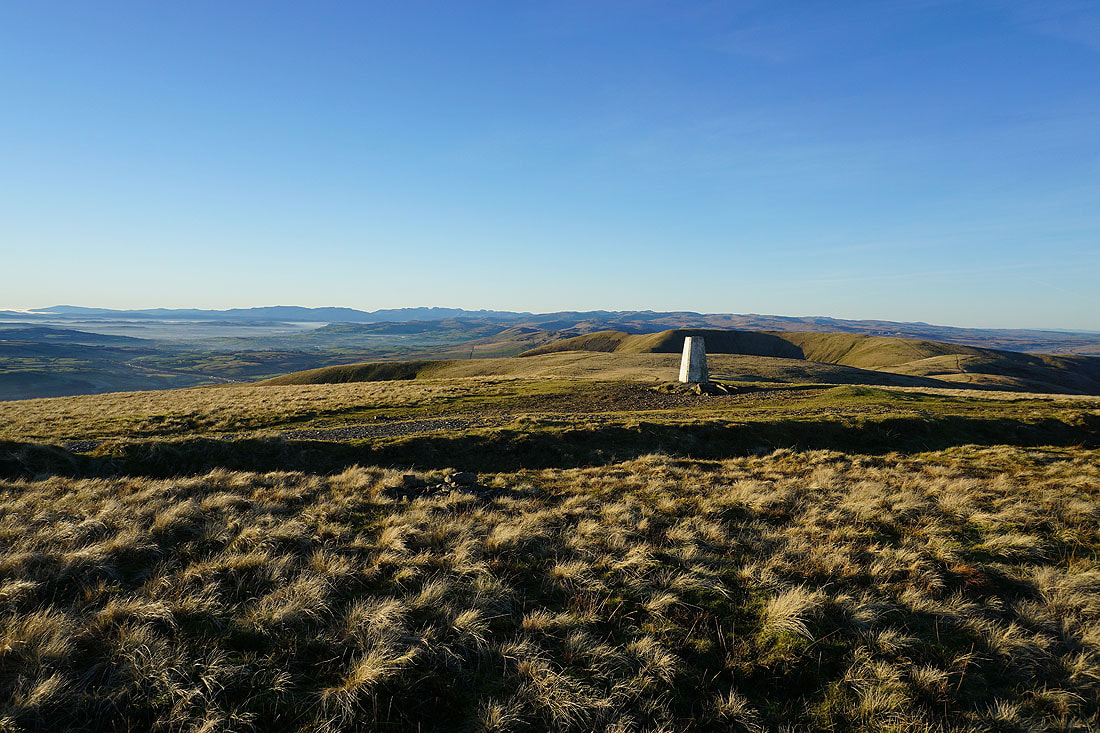
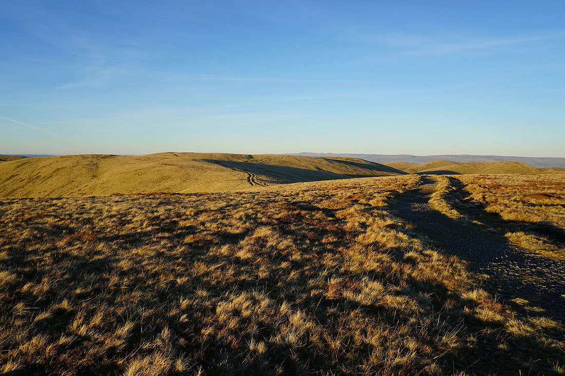
On the bridleway to The Calf
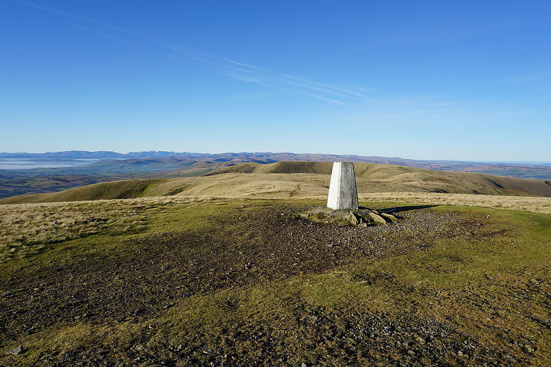
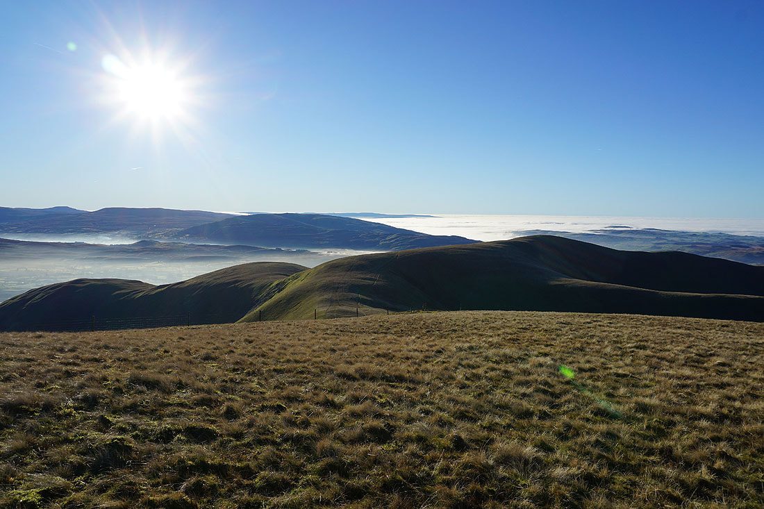
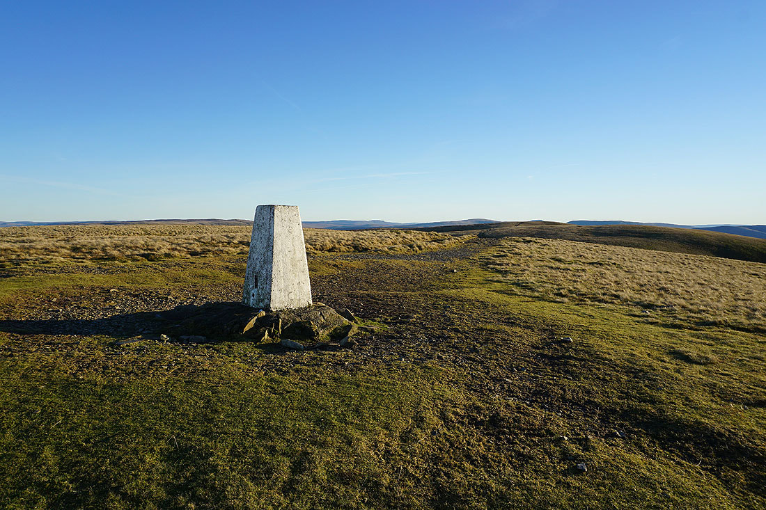
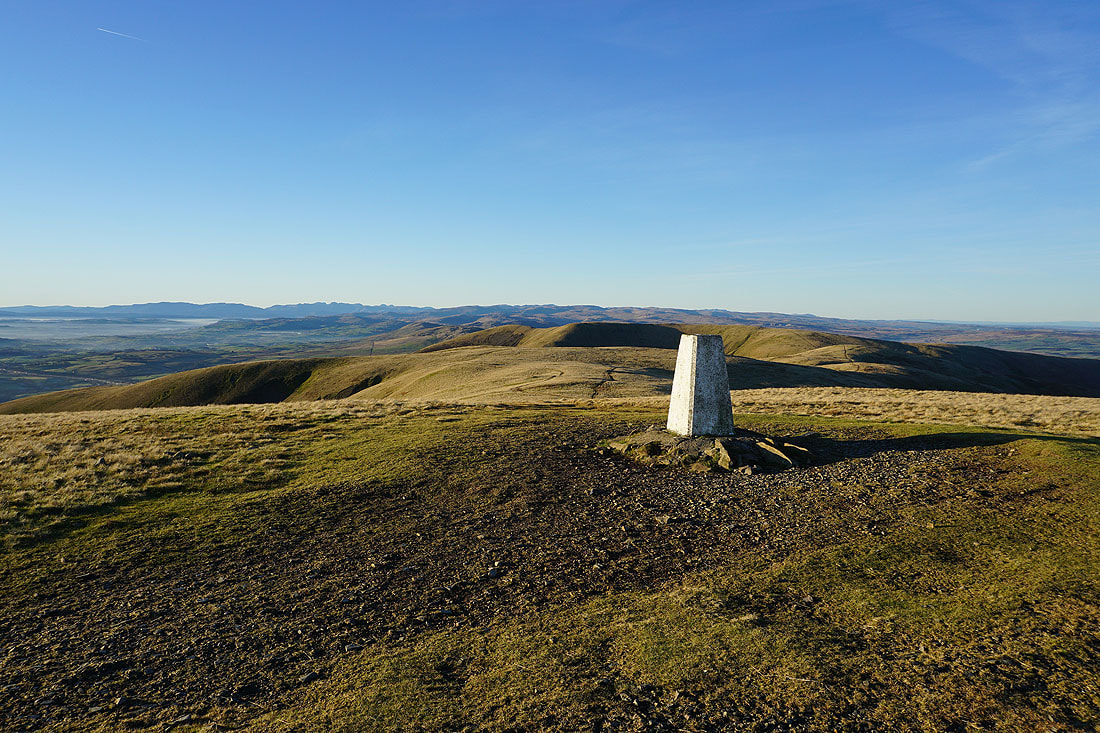
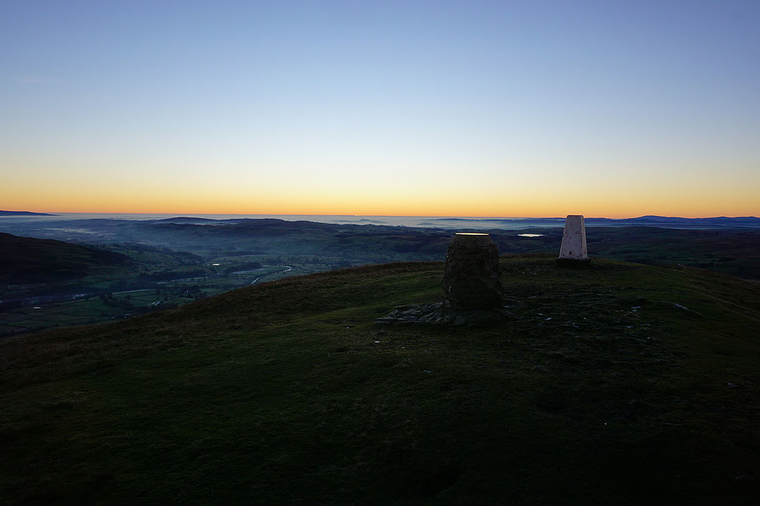
At the trig point on The Calf for the first time today. I think it's one of the best viewpoints for many miles around.
The full range of Lake District fells in the distance to the west, beyond the nearby White Fell Head and Fell Head
The North Pennines in the distance on the other side of the Eden Valley
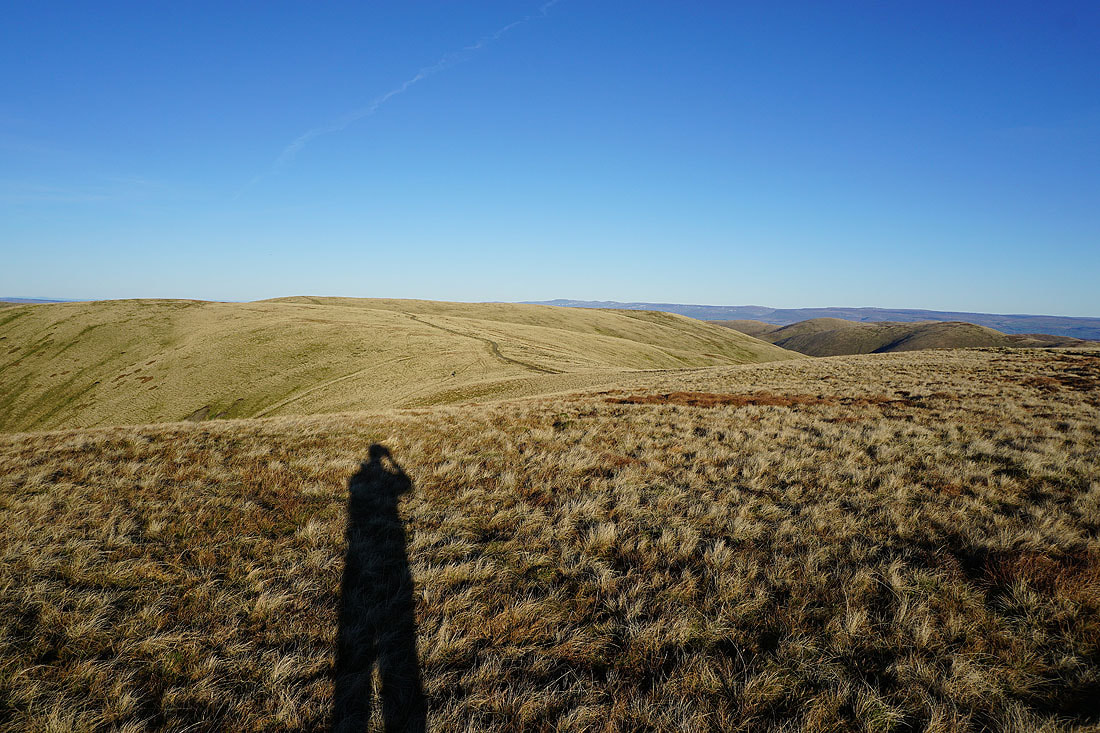
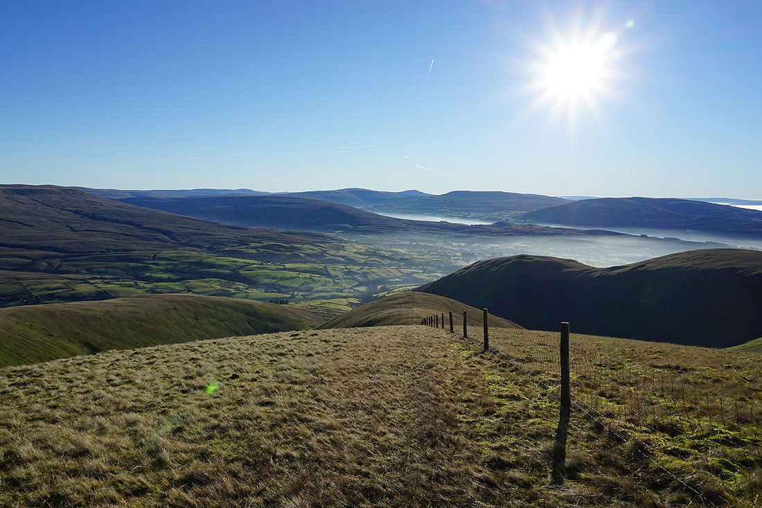
I leave The Calf and make my way to Fell Head
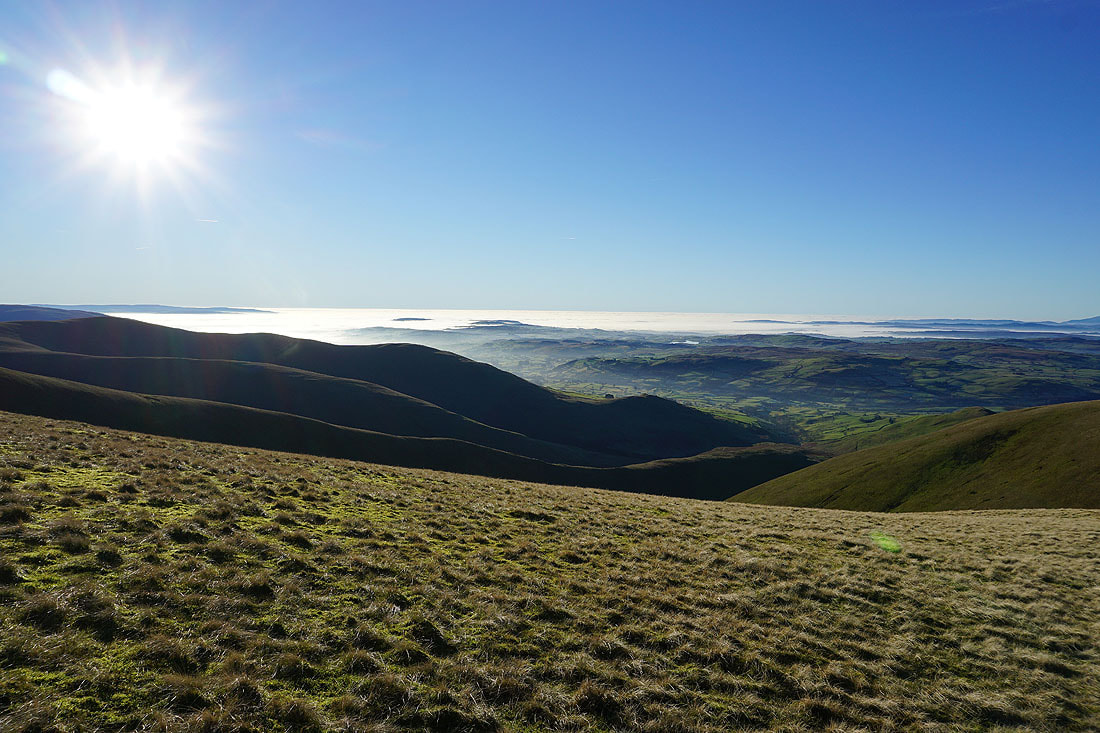
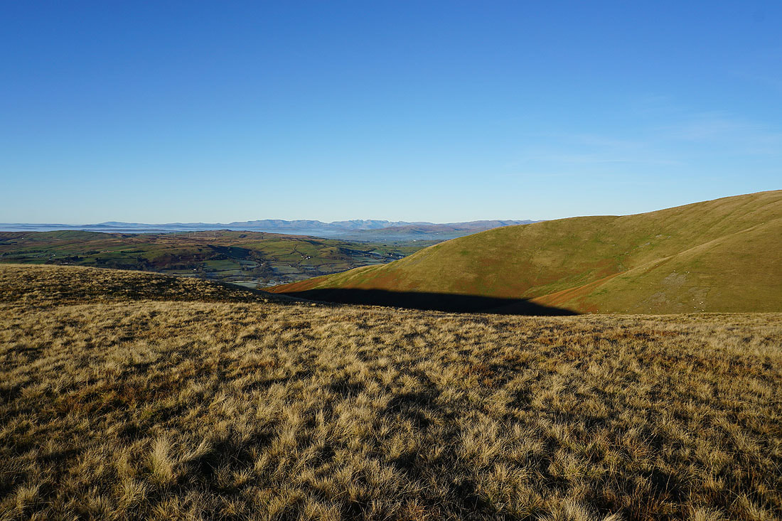
To my left fog hides the valleys and Morecambe Bay to the southwest
Simon's Seat, Langdale, West Fell, and other northern Howgills
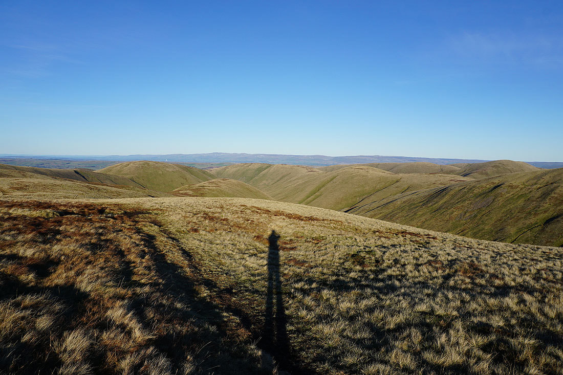
Approaching the top of Bush Howe
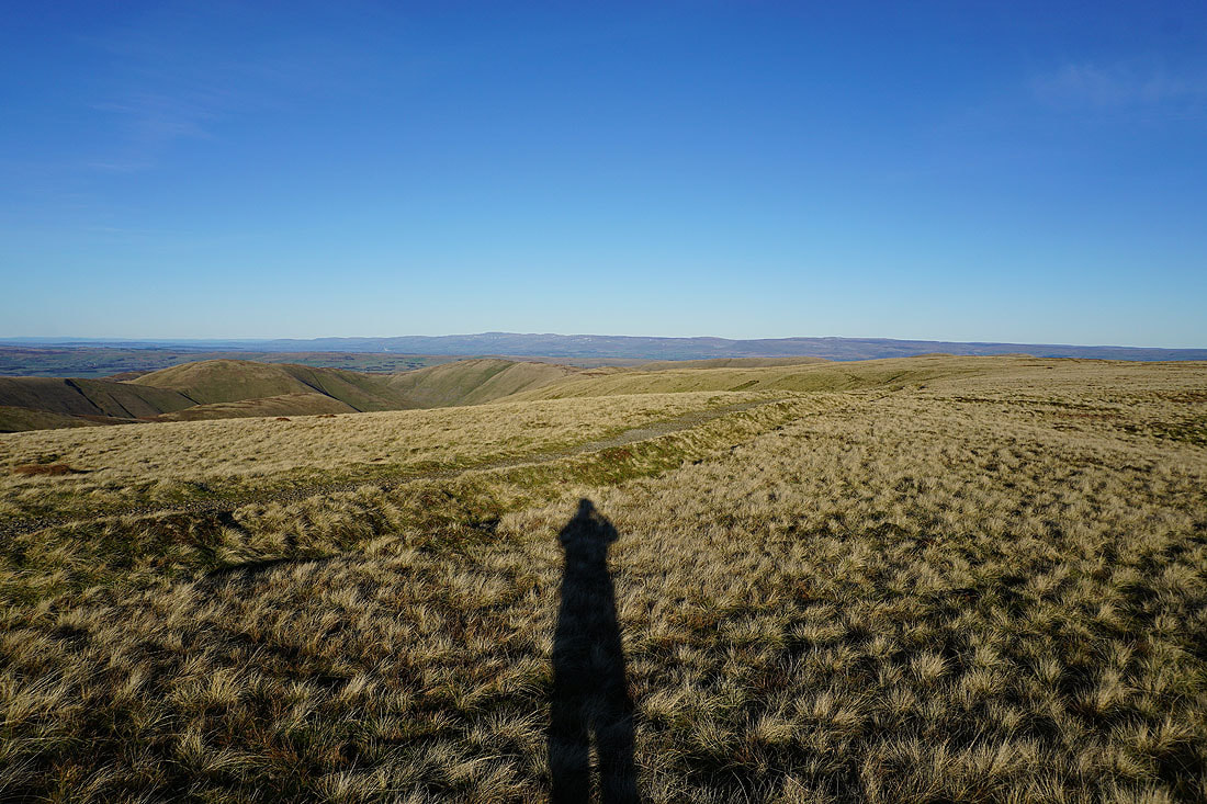
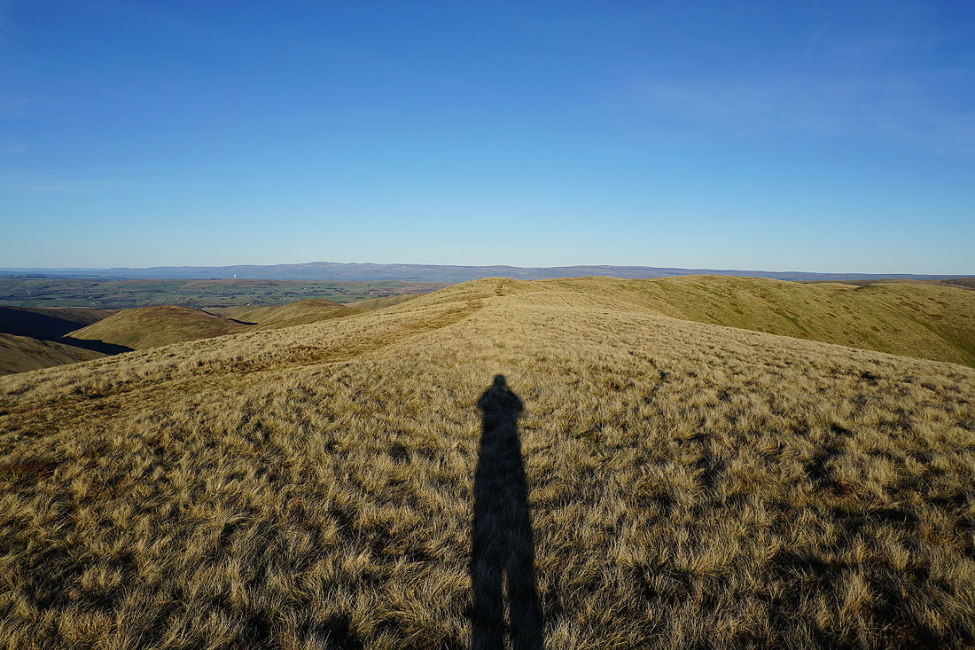
Looking back to The Calf from Bush Howe
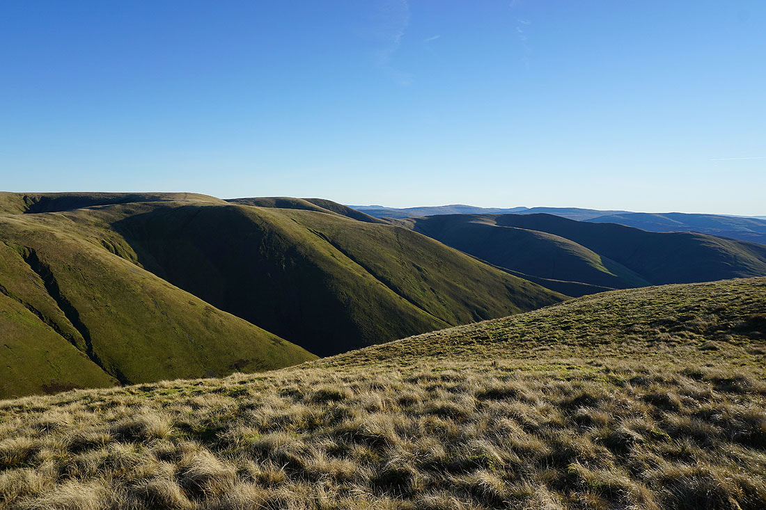
Simon's Seat, West Fell, Hazelgill Knott and Randygill Top as I descend to Windscarth Wyke
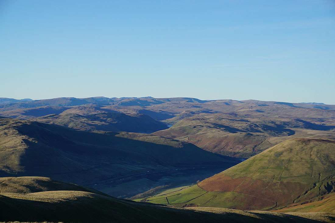
Looking down Lunesdale from Windscarth Wyke
Approaching the top of Fell Head
The North Pennines in the distance from Fell Head
A long line of Lake District fells to the west
The visibility is excellent today, it's easy to make out the distant fells. Zooming in with the Coniston fells on the left, then Crinkle Crags, Scafell, Scafell Pike, Great End, Great Gable, Pillar, High Raise, High Stile, and Red Screes.
Red Screes on the left, Fairfield, Helvellyn, High Street, and High Raise beyond the nearby Shap fells, with the M6 in the Lune gorge below
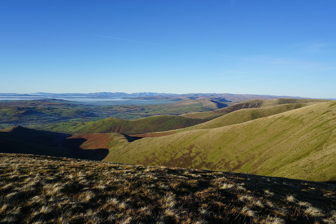
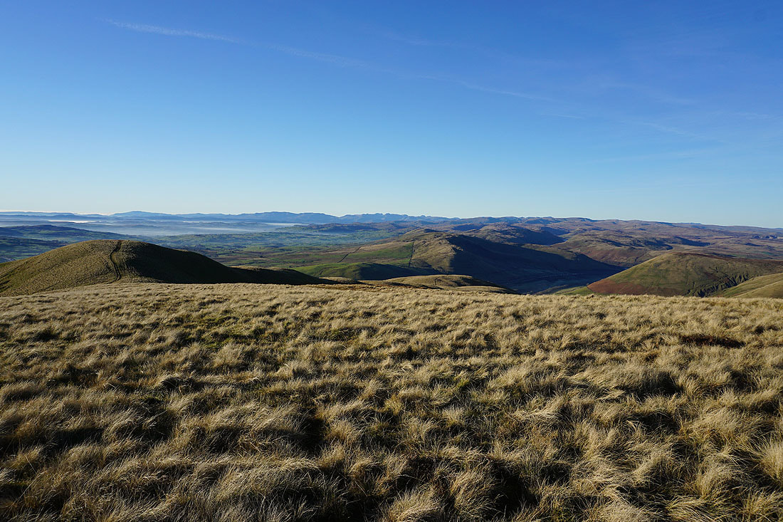
Looking past The Calf, Calders and Arant Haw into the heart of the Yorkshire Dales, to Penyghent, Whernside, Ingleborough, Great Coum, and Middleton Fell
Fog covers the lower reaches of Lunesdale and out into Morecambe Bay
Blease Fell, Uldale Head, and Hand Lake as I leave Fell Head
On Bush Howe and heading back to The Calf
Simon's Seat, West Fell, Hazelgill Knott, and Randygill Top, with the North Pennines in the distance
Looking back to the Lake District fells in the distance as I approach The Calf
Two hours after my first visit I'm back at the trig point on The Calf
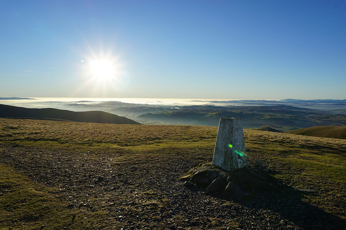
Looking southwest to a fog covered Morecambe Bay
It's the view across to the Lake District that has my attention though...
Back on Calders, and I won't have long to wait for the sun to set
Looking back to The Calf
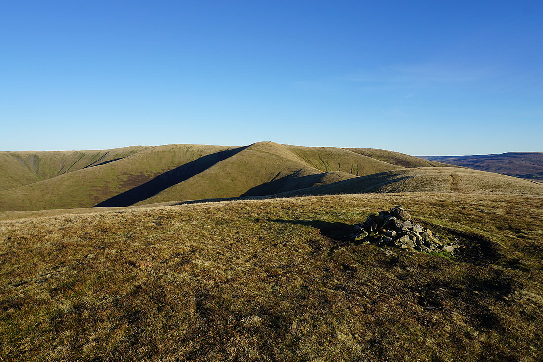
Great Dummacks, Wild Boar Fell and Swarth Fell
Baugh Fell, Plover Hill, Penyghent, Aye Gill Pike, Whernside, Ingleborough, Great Coum and Middleton Fell
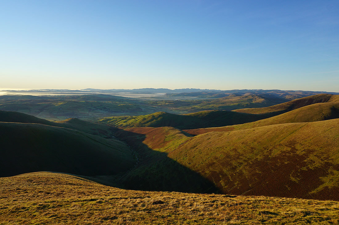
Lots of Howgills ridges descending into Lunesdale, with the Lake District fells in the distance
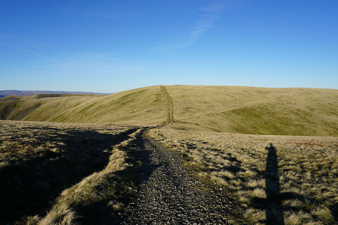
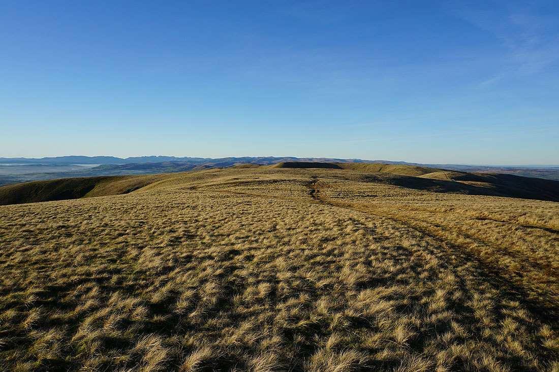
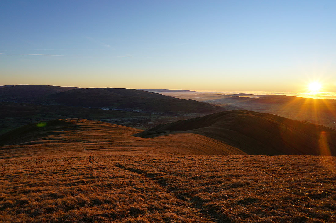
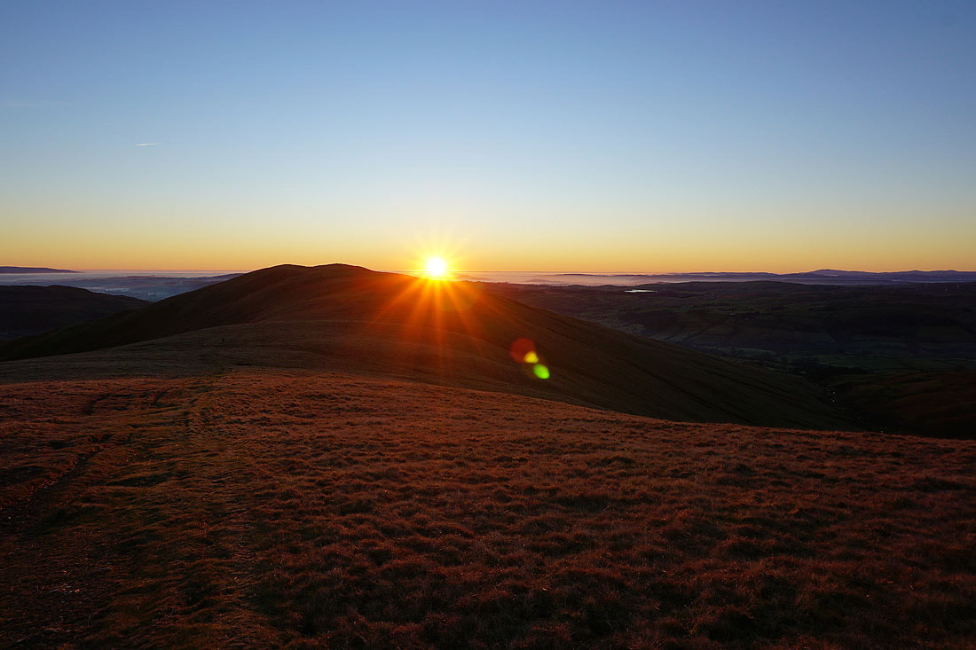
Next stop Arant Haw, and I better get a move on. There isn't long until sunset.
Passing the sheepfold on Rowantree Grains, which I remember being much more substantial when I first passed this way many years ago
On Arant Haw. I won't have long to wait for the sunset.
Looking across the Rawthey valley and Dentdale to Aye Gill Pike, Penyghent, Whernside, Ingleborough, Great Coum and Middleton Fell
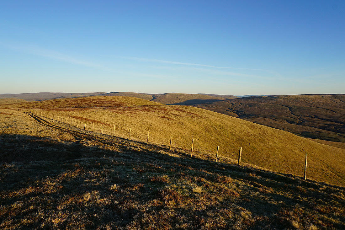
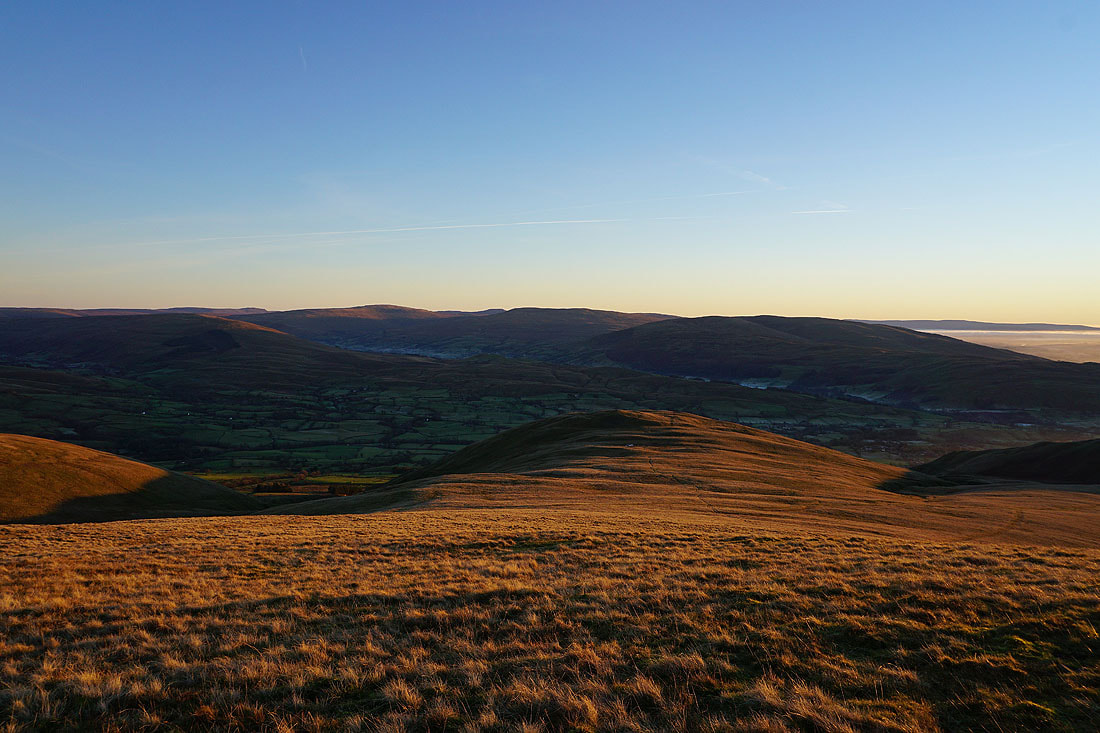
The fells of Crook and Winder below
The Lake District fells to the west
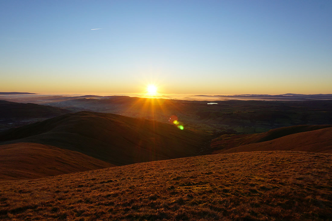
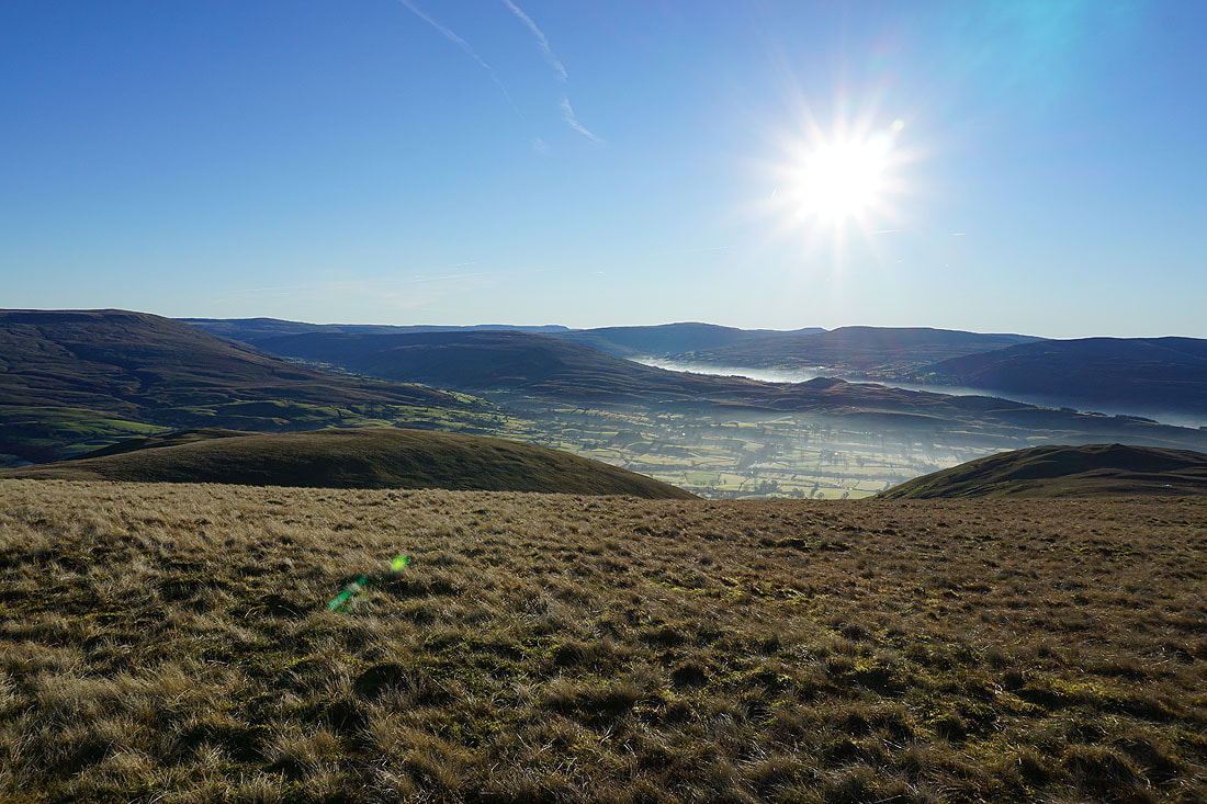
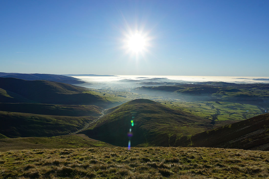
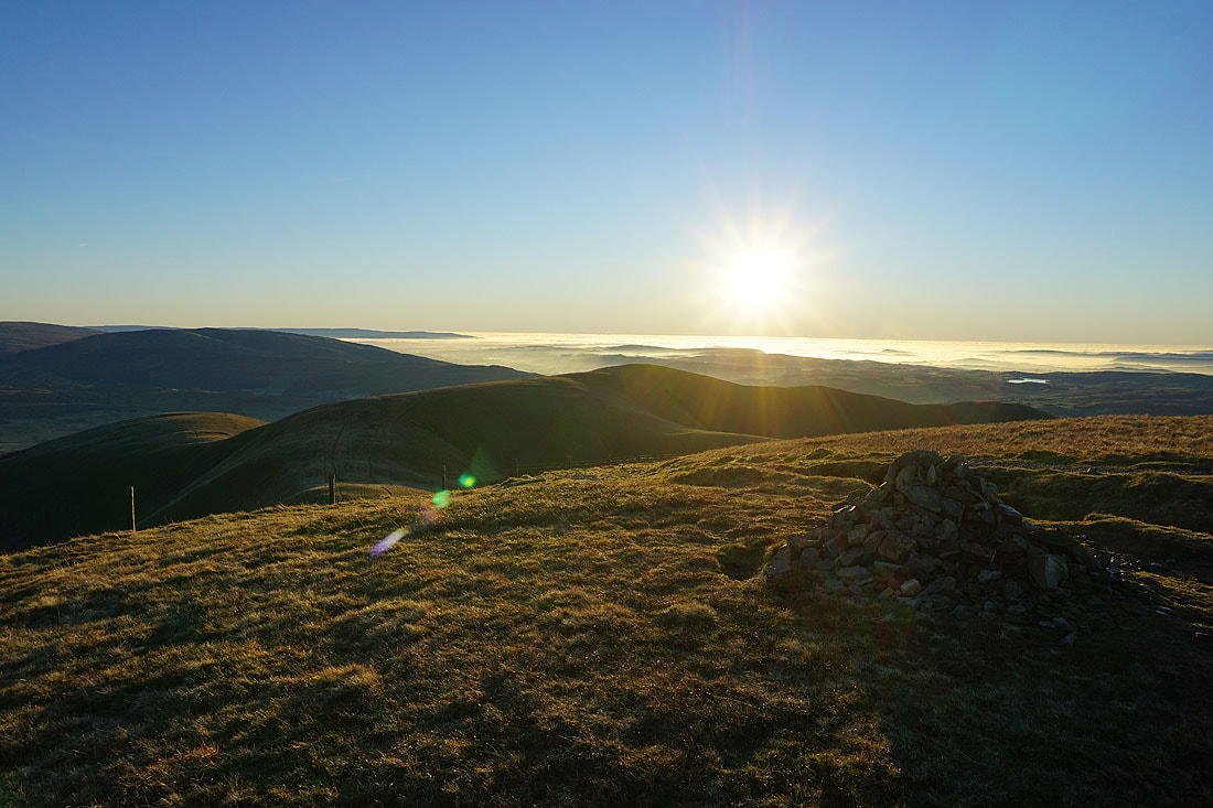
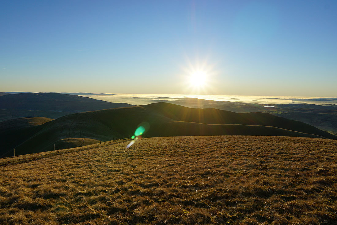
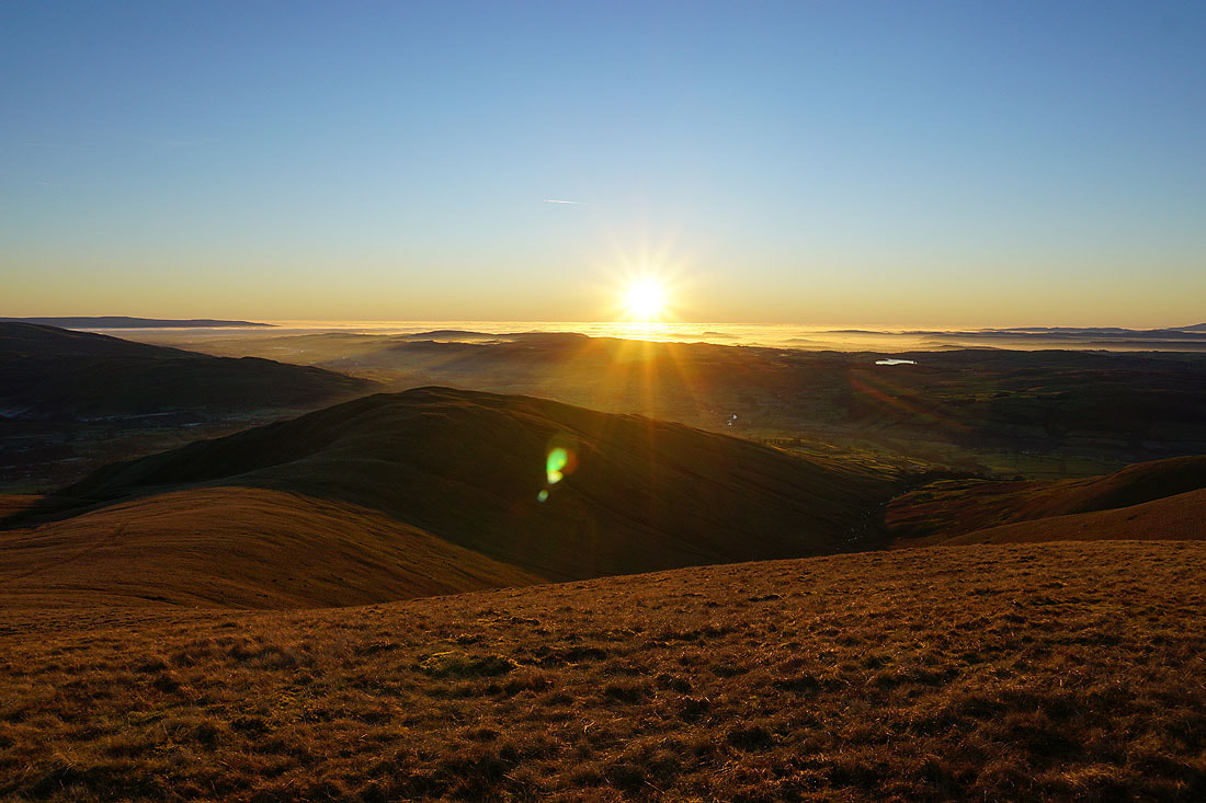
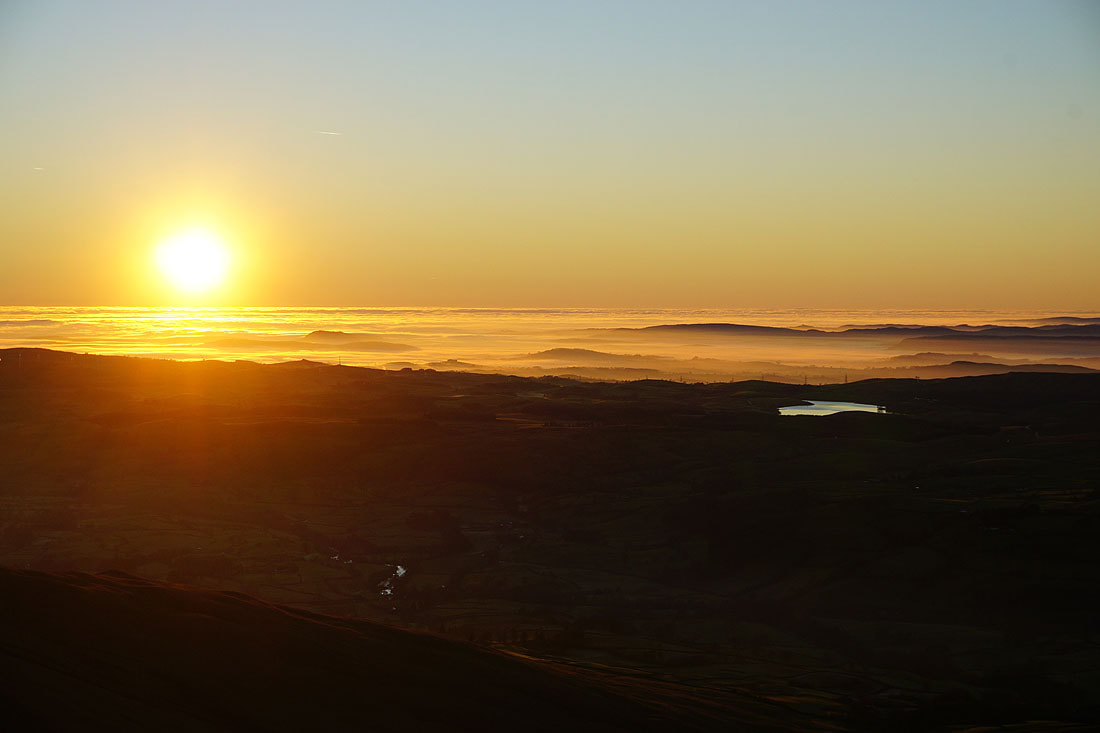
Looking across Lunesdale as the sun sets over Morecambe Bay
Zooming in and the mist and low sun pick out all the little hills on the other side of the River Lune. The patch of water in the photo below is Killington Reservoir..
Can I make it to Winder before the sun disappears completely? ..
At the toposcope and trig point on Winder
A steep descent to Sedbergh in the fading light