18th January 2024 - Weets Hill
Walk Details
Distance walked: 4.3 miles
Total ascent: 753 ft
OS map used: OL21 - South Pennines
Time taken: 1.5 hrs
Route description: B6251, High Lane-Copy Nook-Lister Well Road-Weets Hill-Weets House Farm-Gisburn Old Road-Star Hall Farm-White Moor-Lister Well Road-Copy Nook-B6251, High Lane
After my walk from home in the snow after work yesterday afternoon I was keen to head out again while it lasted, the forecast for the weekend isn't good. However, I didn't want to just climb Noyna Hill again. I really wanted to go up Weets Hill, but it's too far from home to get to in the time available before the sun sets. I then remembered the layby on the B6251 a short distance away from where I cross it on my usual route to Weets Hill from home. Parking my car there will halve the distance. So that's what I did. I enjoyed great views across snow covered moors in the blue skies, sunshine, and bitterly cold breeze.
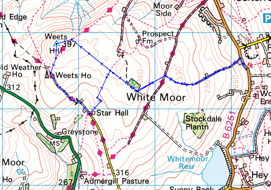
From where I parked my car in the layby on High Lane a short distance south of Lane Head House, I walked up past Lane Head House, took a track on the left and followed it uphill past Copy Nook to the bridleway of Lister Well Road. I crossed Lister Well Road and went through a gate onto access land, then took a path up to a wall below a small area of woodland, went through the wall, then followed a path by it to the top of Weets Hill. After taking in the view I took the Pendle Way to reach Weets House Farm at the top of Gisburn Old Road, then walked down Gisburn Old Road until I reached Star Hall Farm and a public footpath on the left just before it. I took this and followed it uphill across the moor until I met up with my route up to Weets Hill. From here I retraced my steps back down to High Lane.
Route map
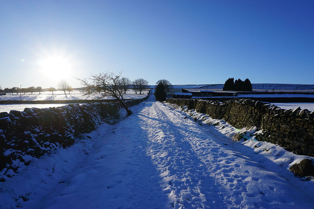
Heading up the track past Copy Nook up onto Lad Lowe Hill
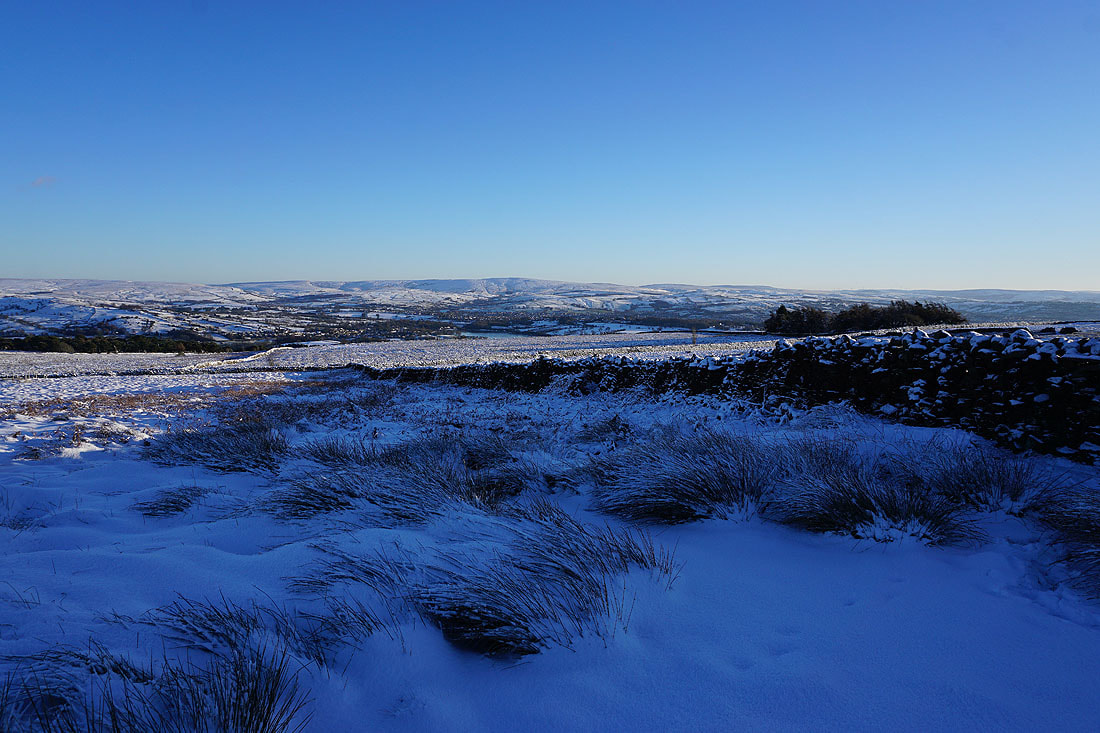
Looking back with Barden Moor, Thornton Moor and Bleara Moor in the distance
Boulsworth Hill in the distance from the edge of access land..
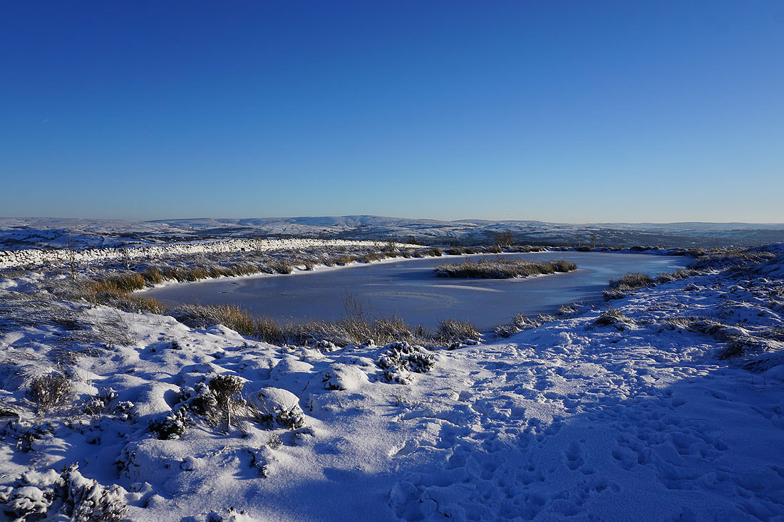
..and from the pool on Lad Lowe Hill
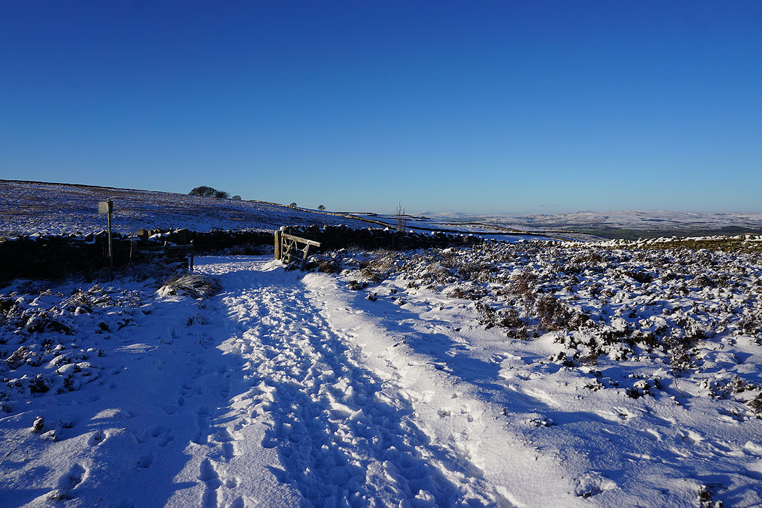
Onto the bridleway of Lister Well Road
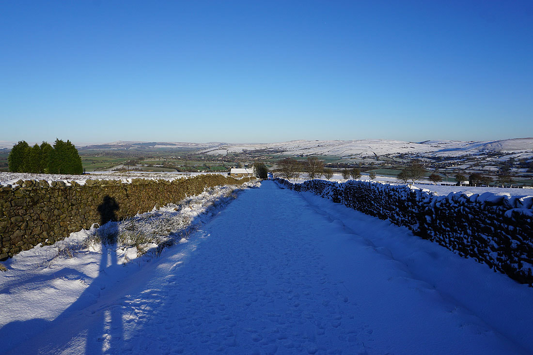
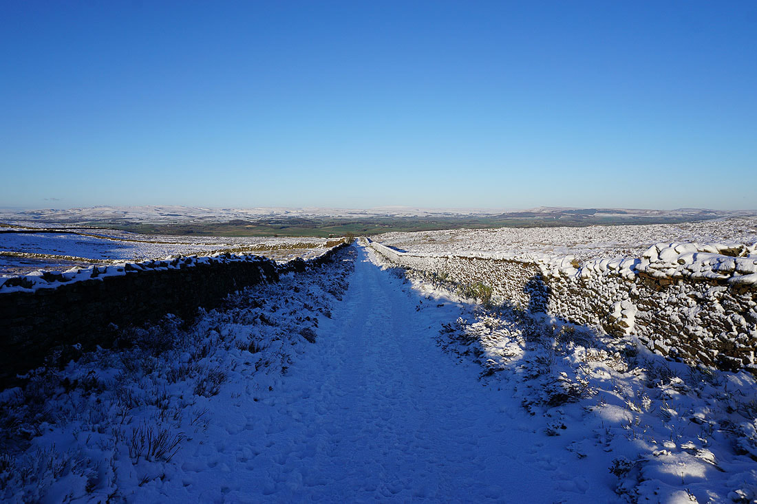
Looking down Lister Well Road with the moorland around Malhamdale and Wharfedale in the distance
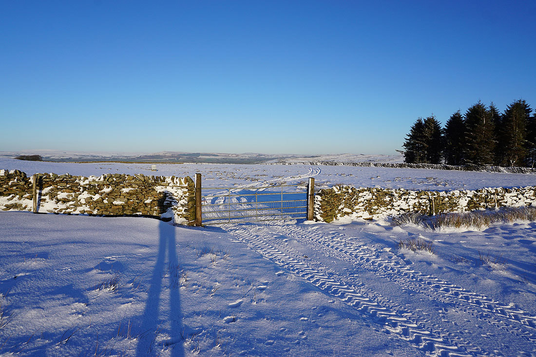
I crossed Lister Well Road and went through a gate onto access land. Foulridge, Foulridge Lower Reservoir, Boulsworth Hill, and Colne as I head uphill.
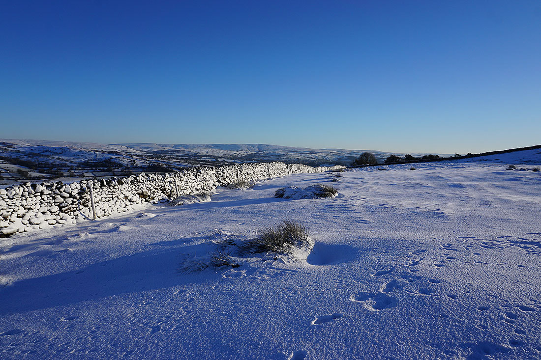
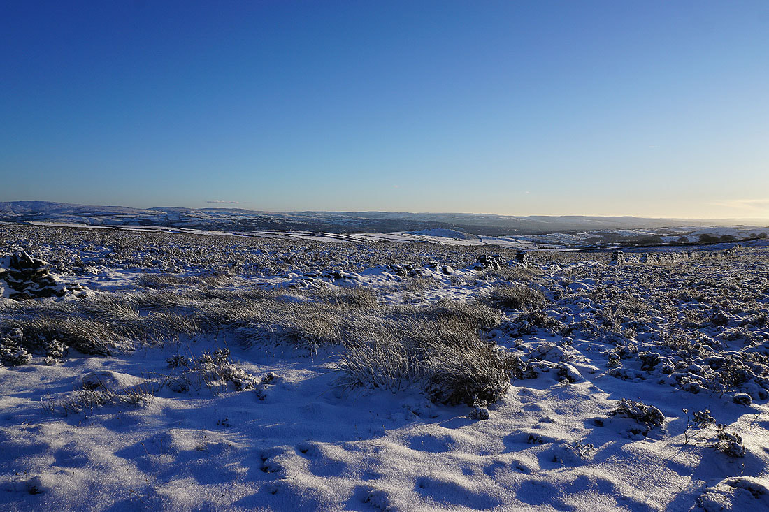
Barden Moor and Barden Fell in the distance beyond the snowy expanse of White Moor
Looking the other way, the Forest of Pendle and Pendle Hill
and looking back to Boulsworth Hill in the distance
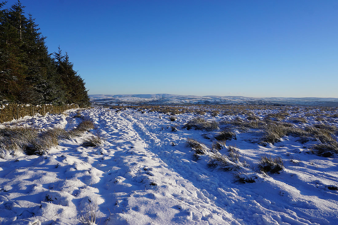
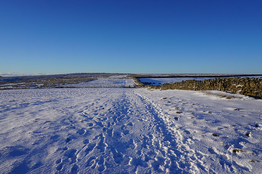
Making my way up access land towards the top of Weets Hill
To my left, Pendle Hill
Blacko Hill and the Forest of Pendle, with the moors above Burnley in the distance
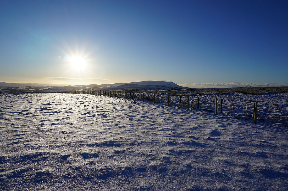
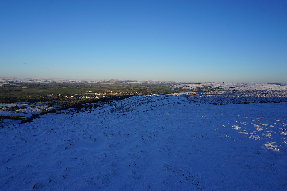
Looking back across White Moor to Boulsworth Hill in the distance as I reach the eastern end of the top of Weets Hill
The top of Pendle Hill from the eastern end of the summit
The town of Barnoldswick below with Barden Moor and Pinhaw Beacon in the distance
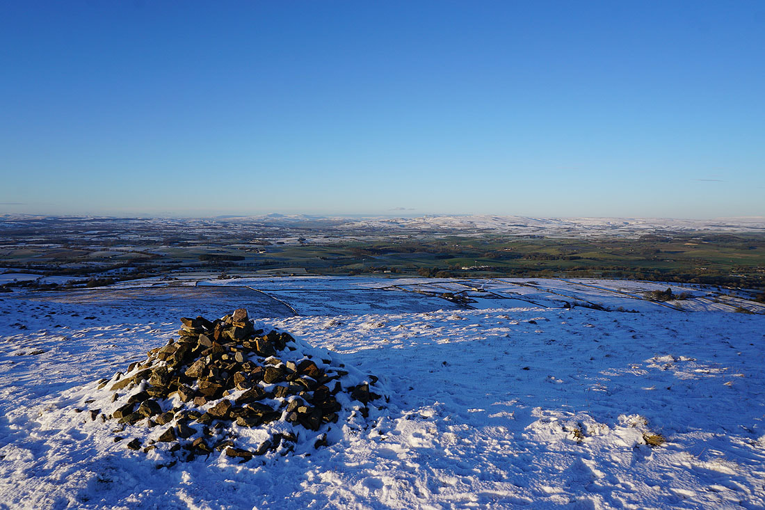
Looking north across the Ribble Valley to Ingleborough, and the moors above Settle and Malham
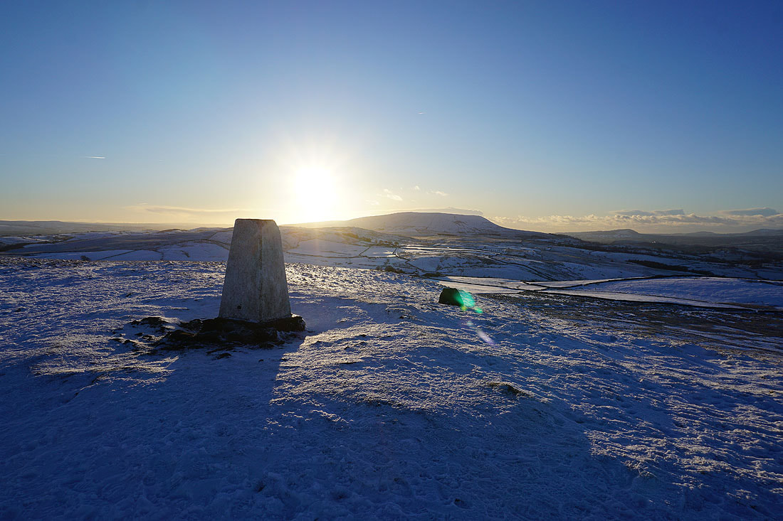
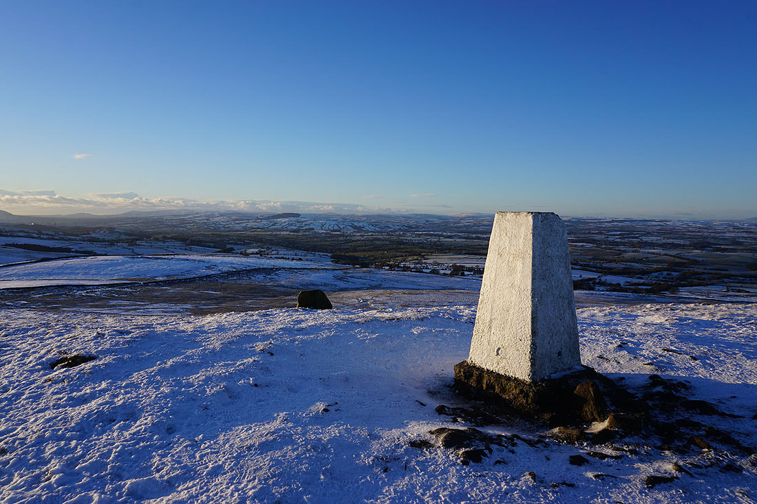
Pendle Hill from the trig point on Weets Hill
Great Whernside and Barden Moor to the northeast
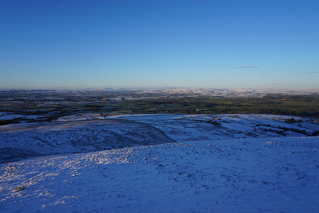
The Forest of Bowland in the distance on the other side of the green fields of the Ribble Valley
Looking north to the Yorkshire Dales
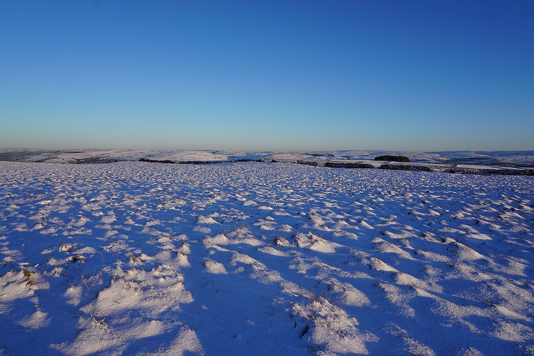
Thornton Moor, Bleara Moor, Kelbrook Moor and Ickornshaw Moor to the east
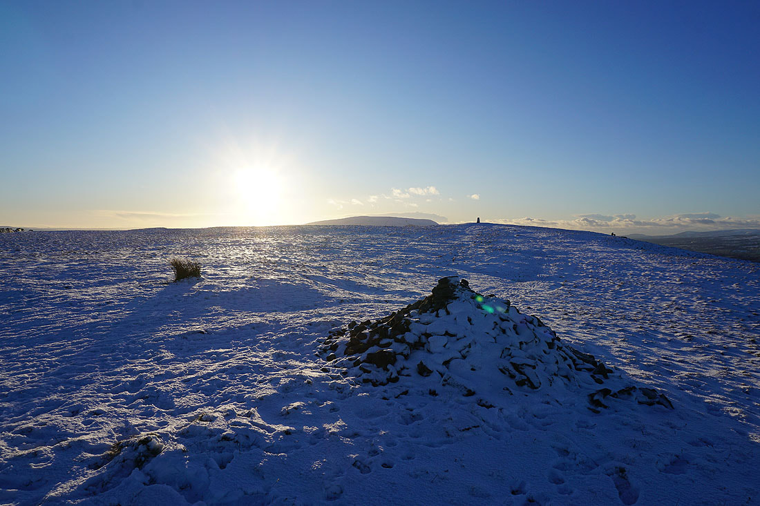
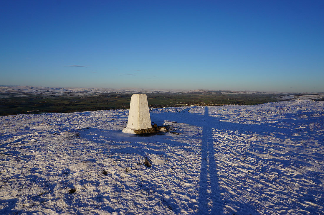
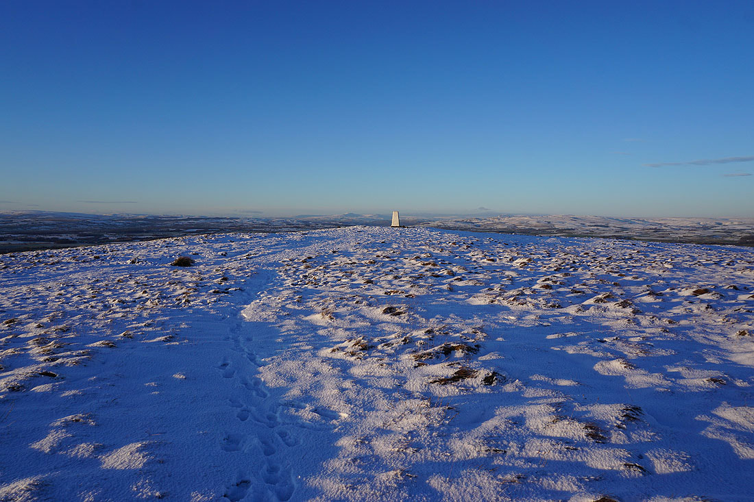
I can't resist taking another photo of Ingleborough in the distance beyond the trig point. The lowering sun is starting to give a rosy pink colour to the snow.
Heading for Weets House Farm and the top of Gisburn Old Road
Pendle Hill, the Ribble Valley, and the southern fells of the Forest of Bowland to the west
Looking north across the Ribble Valley from the top of the Pennine Bridleway at Weets House Farm
Heading down Gisburn Old Road with Boulsworth Hill in the distance
To my right, Blacko Hill and the Forest of Pendle
I leave Gisburn Old Road and take the public footpath next to Star Hall Farm up onto White Moor
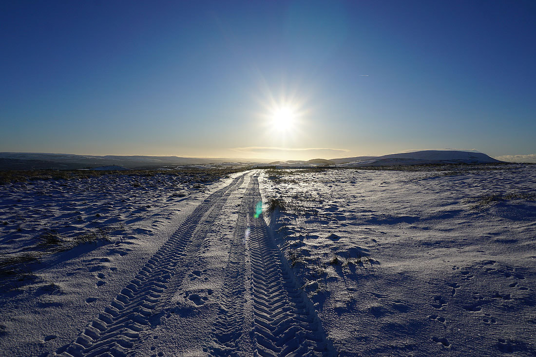
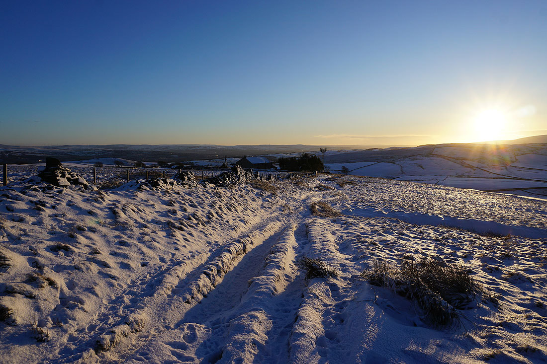
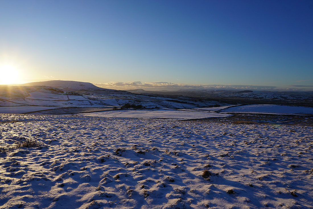
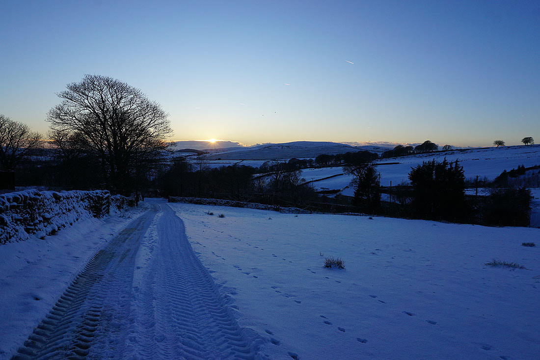
Looking back as the sun sets to the left of Pendle Hill
Pendle Hill in the distance beyond Burn Moor, and Higher Sandyford Farm, which is next to Gisburn Old Road
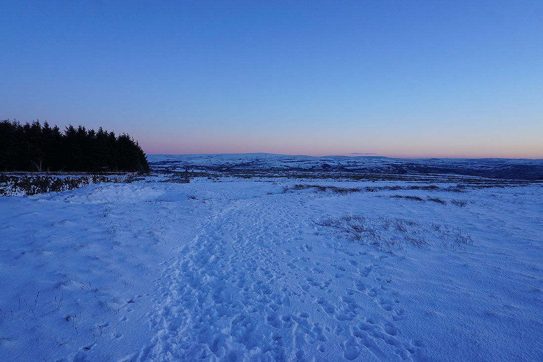
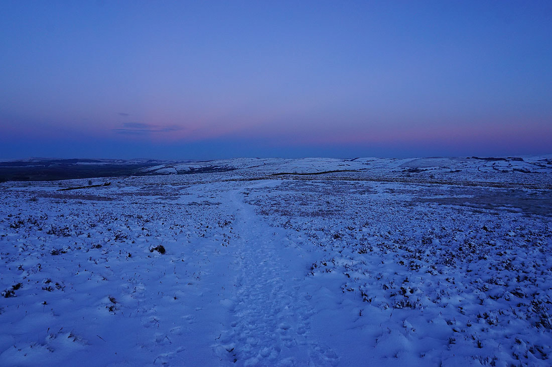
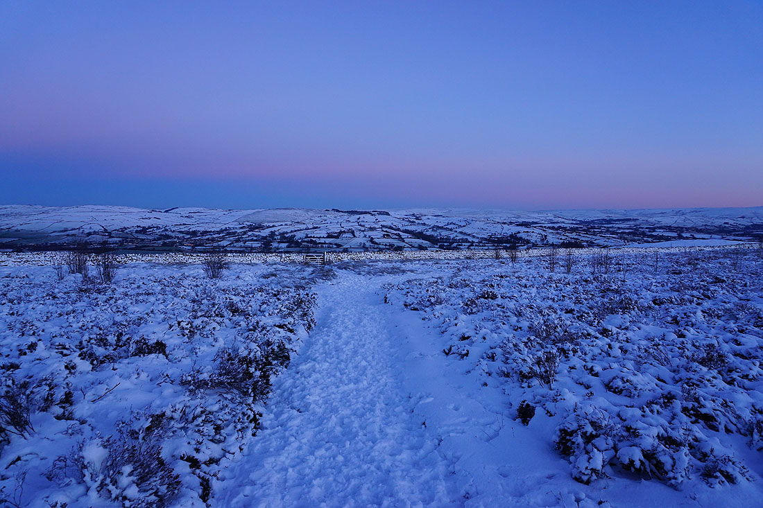
Views across to Boulsworth Hill as I retrace my steps back to Lister Well Road..
Thornton Moor and Bleara Moor in the distance as I head down to Lister Well Road
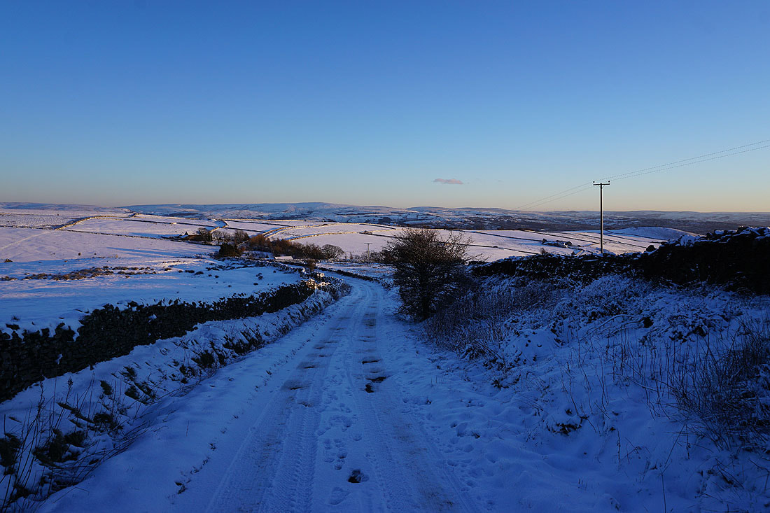
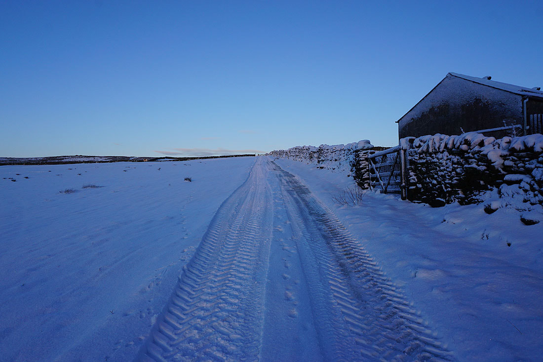
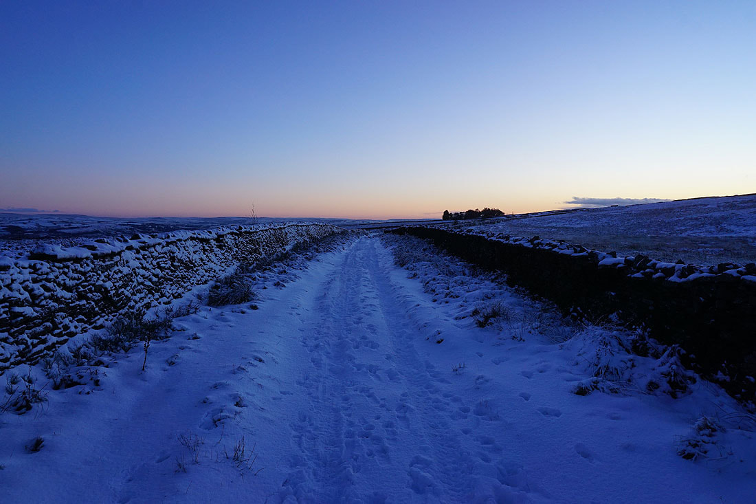
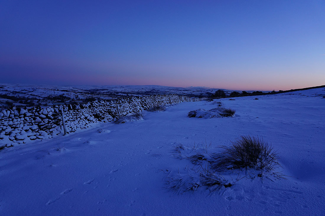
Looking south along Lister Well Road as I cross back over it
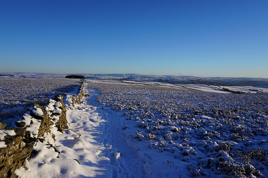
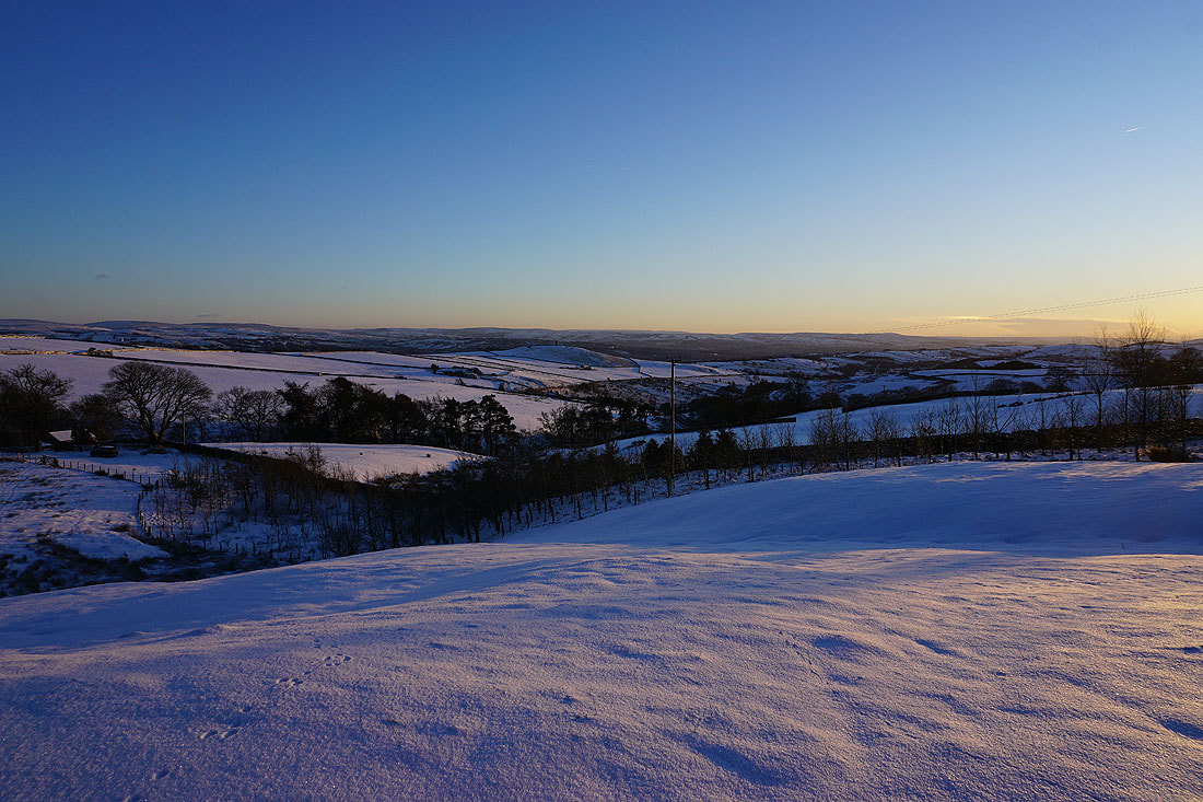
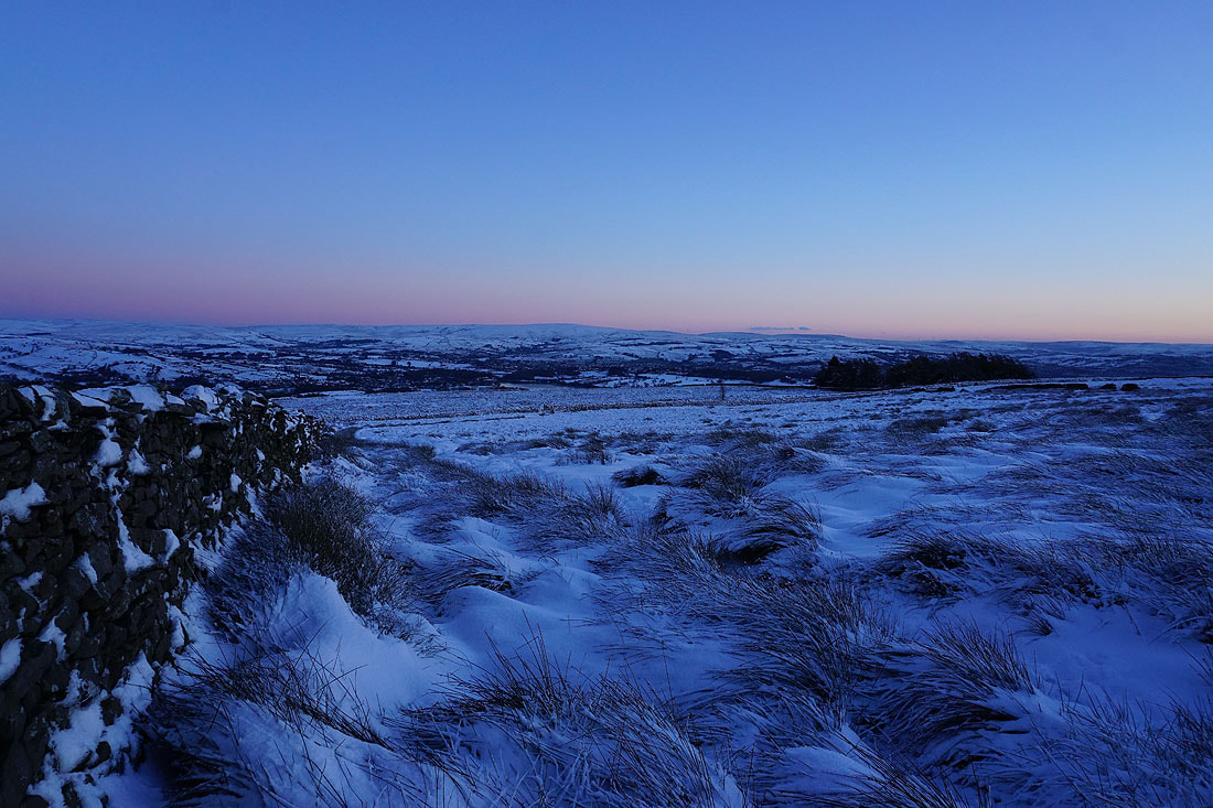
Heading down Lad Lowe Hill to the edge of access land with Bleara Moor, Kelbrook Moor and Ickornshaw Moor to the east
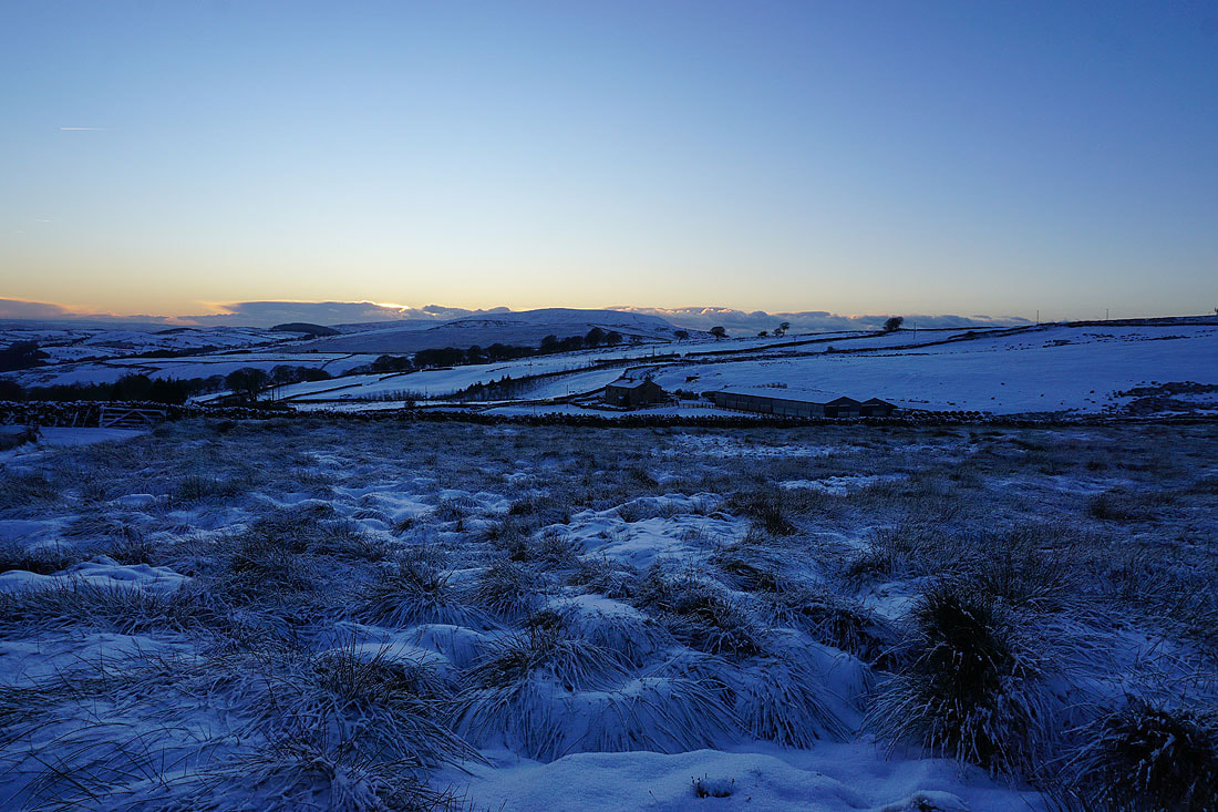
A last shot of Boulsworth Hill in the distance in the failing light
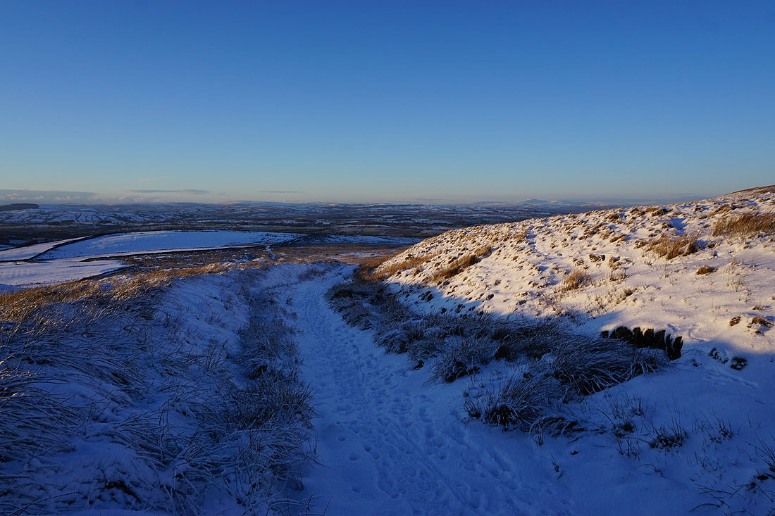
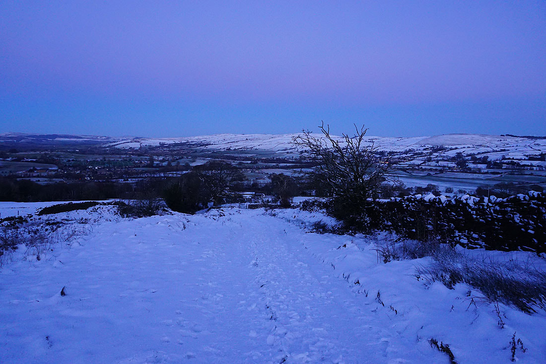
Following the footpath back down to High Lane. That was definitely worth the effort.
