18th June 2017 - Axe Edge Moor, Shutlingsloe and Shining Tor
Walk Details
Distance walked: 14.1 miles
Total ascent: 2838 ft
OS map used: OL24 - The Peak District, White Peak area
Time taken: 7 hrs
Route description: Derbyshire Bridge-A54-Axe Edge Moor-Cheeks Hill-Panniers Pool-Cut thorn-Wildboarclough-Shutlingsloe-Macclesfield Forest-Brough's Place-Torgate Farm-A537-Shining Tor-Cat & Fiddle-Derbyshire Bridge
A fantastic summer's day for this long walk in the Peak District. The route is a variation of one that I did in April last year. Instead of starting at Clough House in Wildboarclough I started at the National Park car park at Derbyshire Bridge, which is higher up and easier to get to with it being just off the Cat & Fiddle road. This also meant that the route from Three Shire Heads to Shutlingsloe was different, resulting in this walk being a little shorter than last years. A good job too considering just what a warm day it was forecast to be. It was just about bearable with enough of a breeze on the moors to provide some relief. I found it to be perfectly OK. I had plenty of water with me and at no point were the ascents steep enough to cause me to overheat. However, I won't be wearing my trail shoes instead of my hiking boots on a walk of this length again. I ended up with a blister the following day. Despite it being so warm the visibility was excellent, which meant outstanding views from the tops of the moors. From Shining Tor, looking in one direction I could make out the Shropshire hills and in the other Pendle Hill, which is north of where I live.
From the car park at Derbyshire Bridge I set off by heading east along the byway at the front of the car park. I soon left this for a footpath south across the moor to a track that I followed east to reach the A54. The main road was crossed to take a track south across Axe Edge Moor, (with a there and back to the trig point), to the road at Dane Head. I then made my way to Panniers Pool by following a track south down Cheeks Hill and past Orchard Farm to the road to Blackclough Farm. The footpath at the end of this road took me to Panniers Pool. After a bit of a break I crossed the packhorse bridge and followed the byway round Cut-thorn Hill to a lane for a footpath to the A54 which I crossed for another footpath to the road down to Wildboarclough. I walked down the road to the T-junction at the bridge over Clough Brook. A bench there beneath some trees provided a shady spot to have my lunch. That had there was a brief walk south down the road to reach the access road for Shutlingsloe Farm and the path to the top of Shutlingsloe. From Shutlingsloe I then took the path north to Macclesfield Forest, then a track round the top of the forest to a road junction. I turned right and followed the lane downhill to reach the road in the valley below next to Clough Brook. On the other side of the road was the footpath along the drive to the farm of Brough's Place, and from there I followed the path to Torgate Farm. As I approached the farm I picked up the concessionary path to Chest Hollow and up to the Cat & Fiddle road. After crossing the road I took the path above Stake Farm and to Shining Tor, the last summit of the day. After taking in the views I retraced my steps to the Cat & Fiddle road, which I followed east past the pub to reach the road down to Derbyshire Bridge and where I was parked.
Route map
© Crown copyright. All rights reserved. License number PU 100034184.
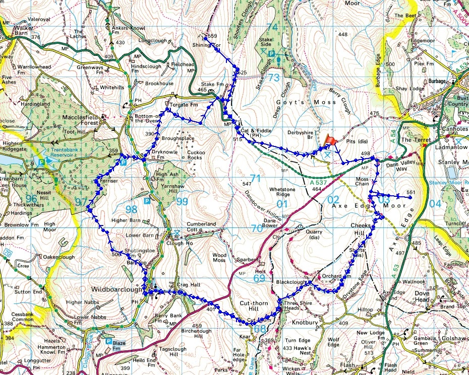
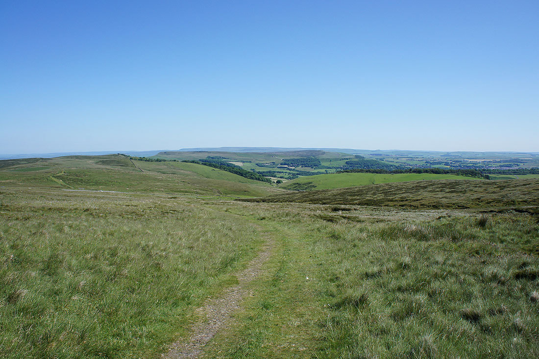
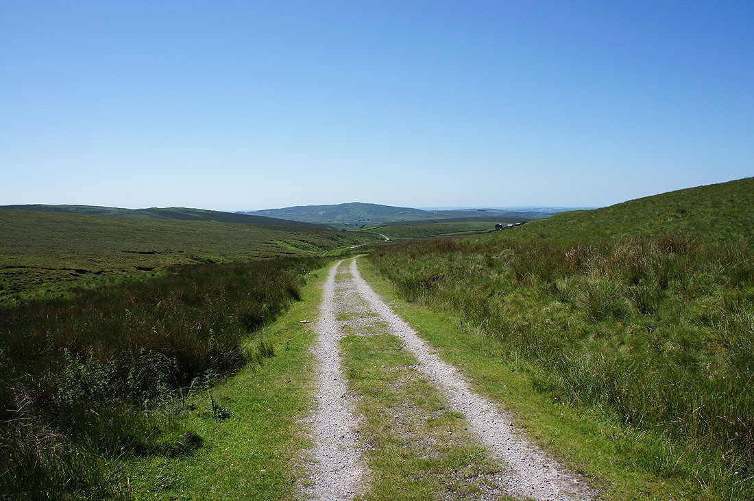
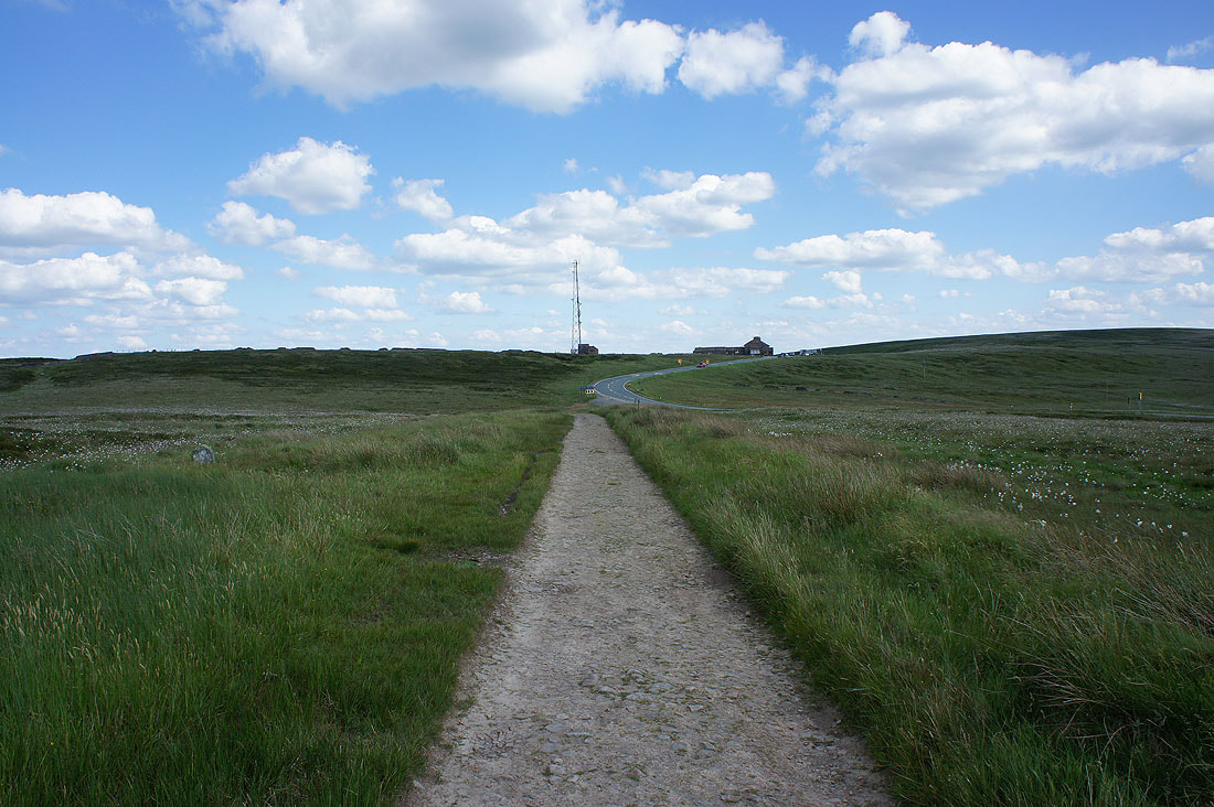
Onto the byway from the car park
Looking back to Goyt's Clough as I take the footpath towards Axe Edge Moor
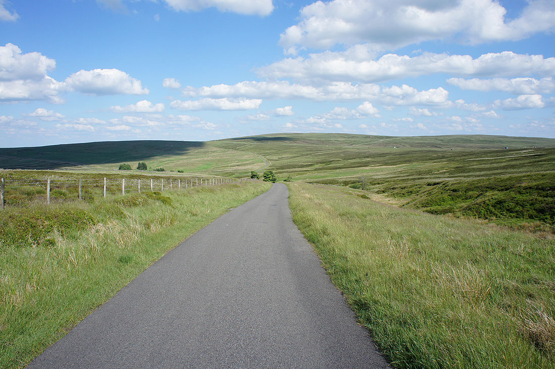
Danebower and the Cat & Fiddle road from the track to the A54
Looking north to Black Edge and Kinder Scout from the path onto Axe Edge Moor
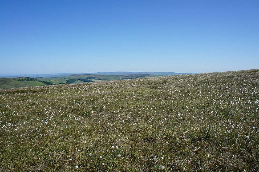
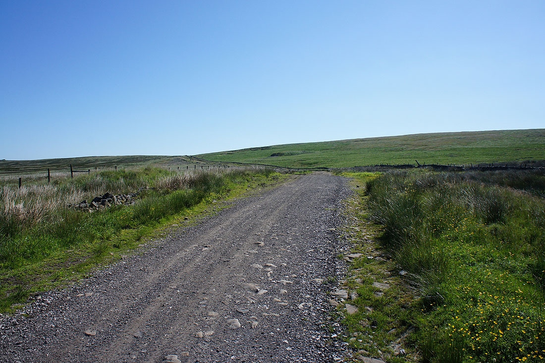
Cotton grass covered moors
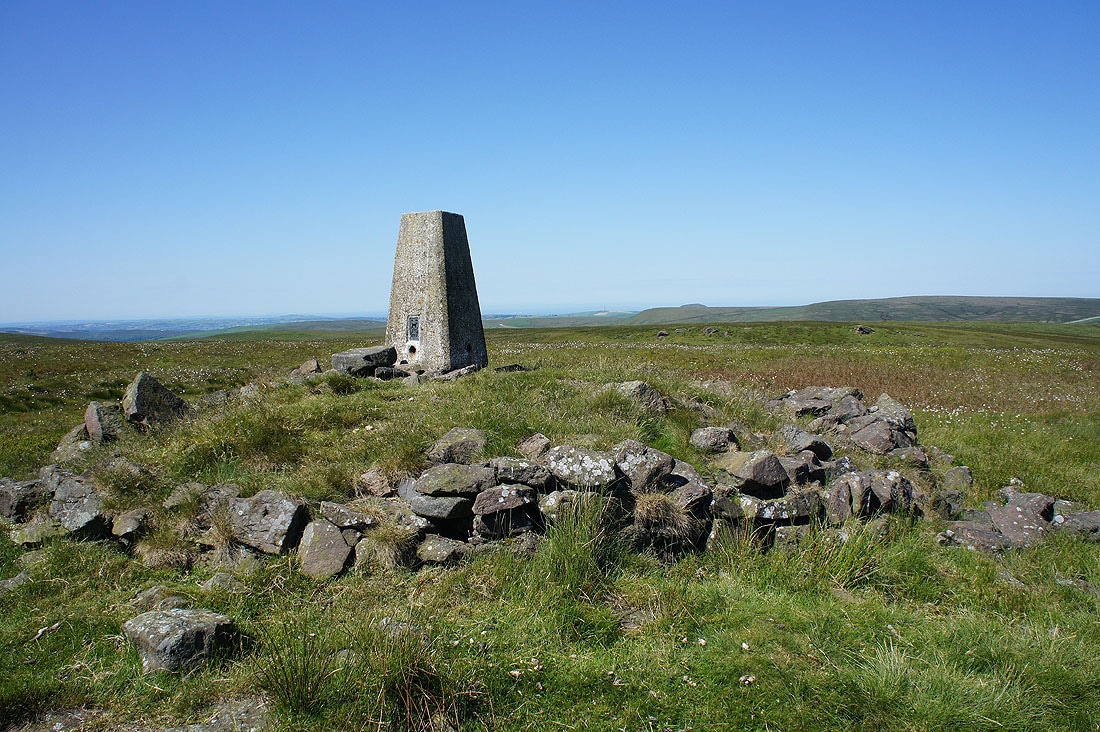
At the trig point on Axe Edge Moor
Kinder Scout and Black Edge to the north
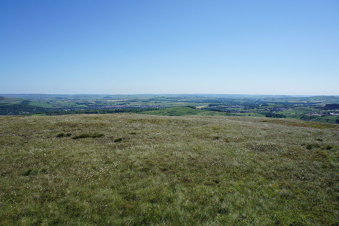
Going round clockwise. Buxton and the White Peak to the east..
The visibility is good enough today to be able to see a long way southwest into Staffordshire
Cat & Fiddle, Shining Tor and Cats Tor
The Roaches ahead from the track past Orchard Farm
and now heading for Panniers Pool
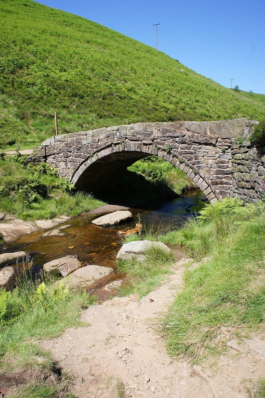
To preserve people's modesty this photo of the packhorse bridge over the River Dane was the only one I took at Panniers Pool
The Roaches and the valley of the River Dane from the byway round Cut-thorn Hill
Now heading for Shutlingsloe..
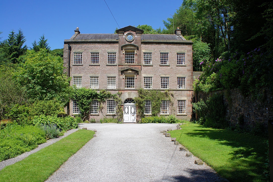
The Old Post Office in Wildboarclough, which is a listed building
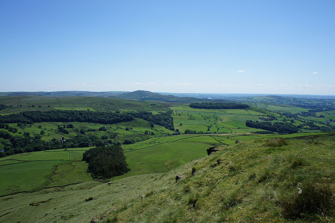
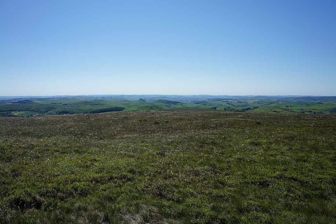
It was warm work climbing to the summit of Shutlingsloe in this heat but the view today certainly made the effort worthwhile. Looking south to The Roaches.
Danebower and Axe Edge Moor to the east
Shining Tor and the moorland around the Cat & Fiddle road to the northeast
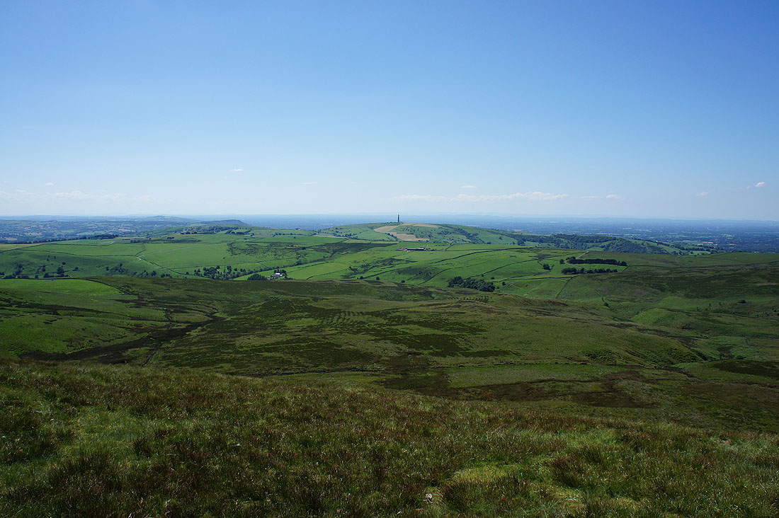
Fantastic views out the southwest and west across Cheshire. I can see the faint outline of distant hills, which are probably those in Shropshire and the Clwydian Hills in North Wales.
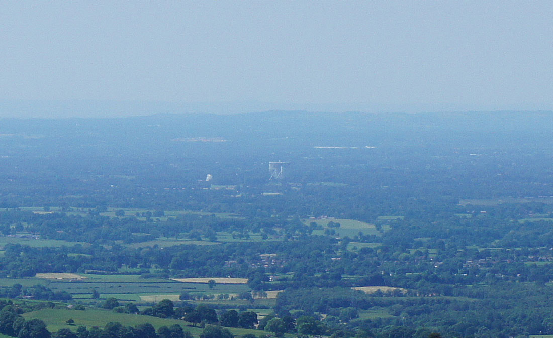
Zooming in on the Lovell Telescope at Jodrell Bank
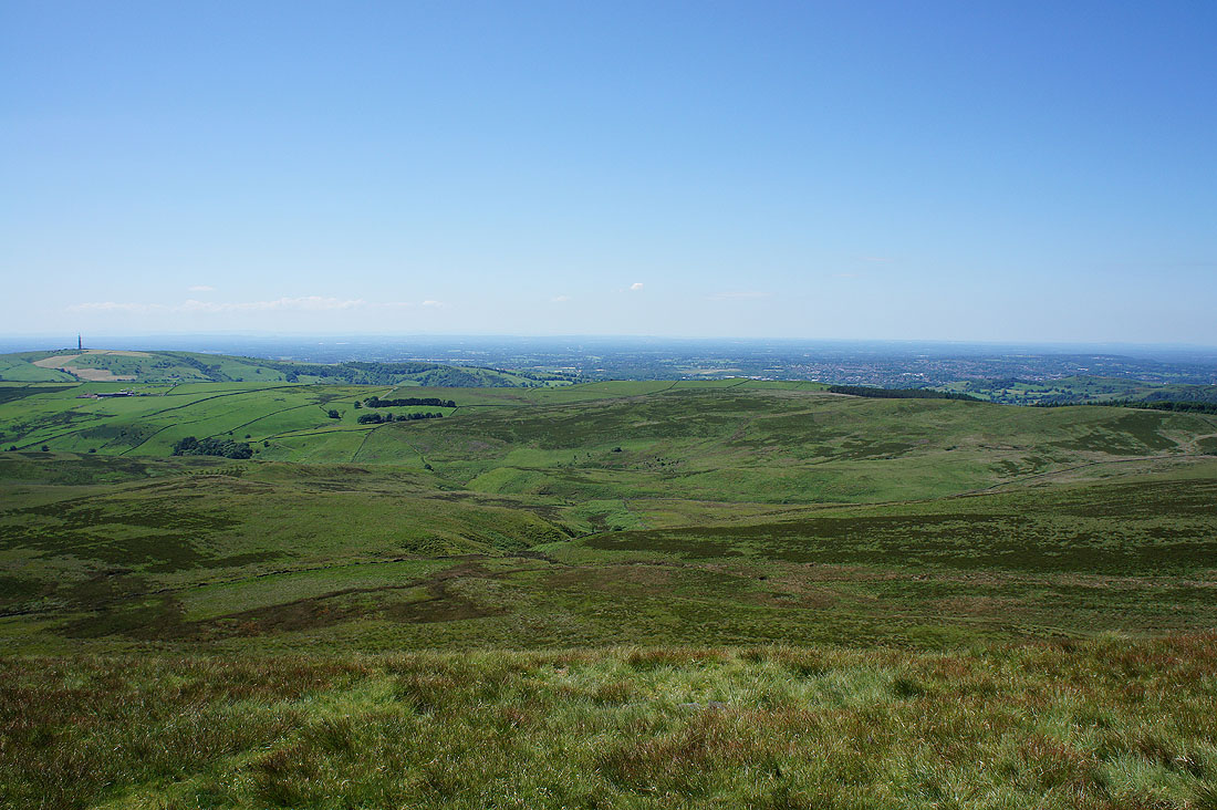
Macclesfield to the northwest
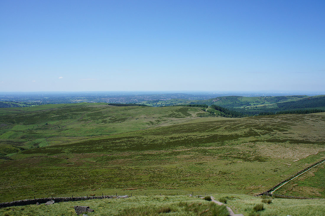
Finally looking north to Macclesfield Forest and Shining Tor
It's a great place to be today
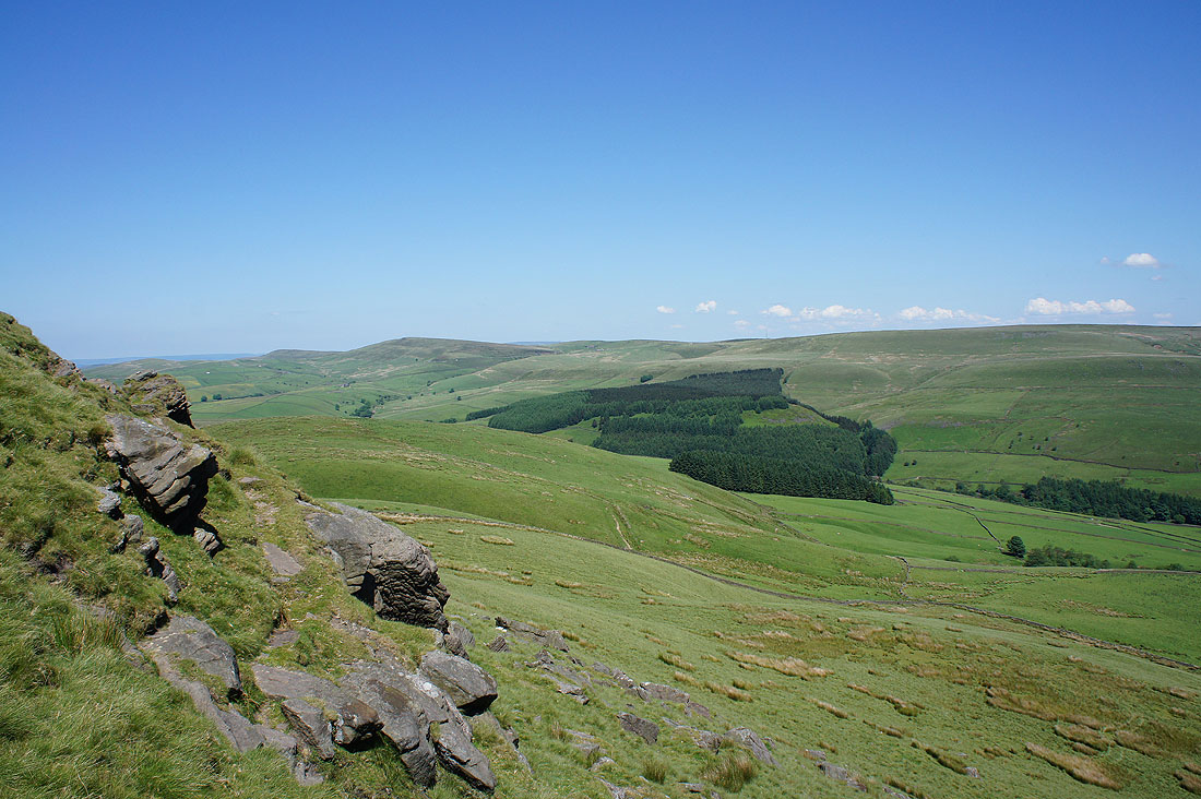
Looking back to the summit from the path to Macclesfield Forest
Shining Tor in the distance from the track at the top of Macclesfield Forest
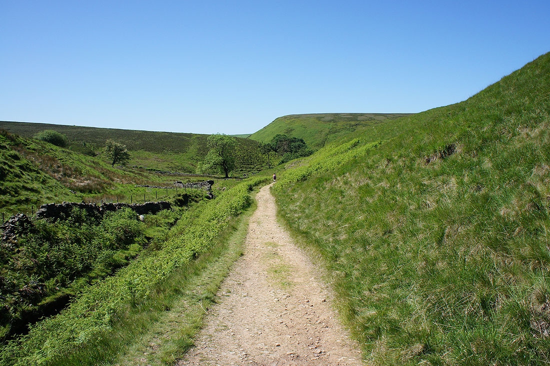
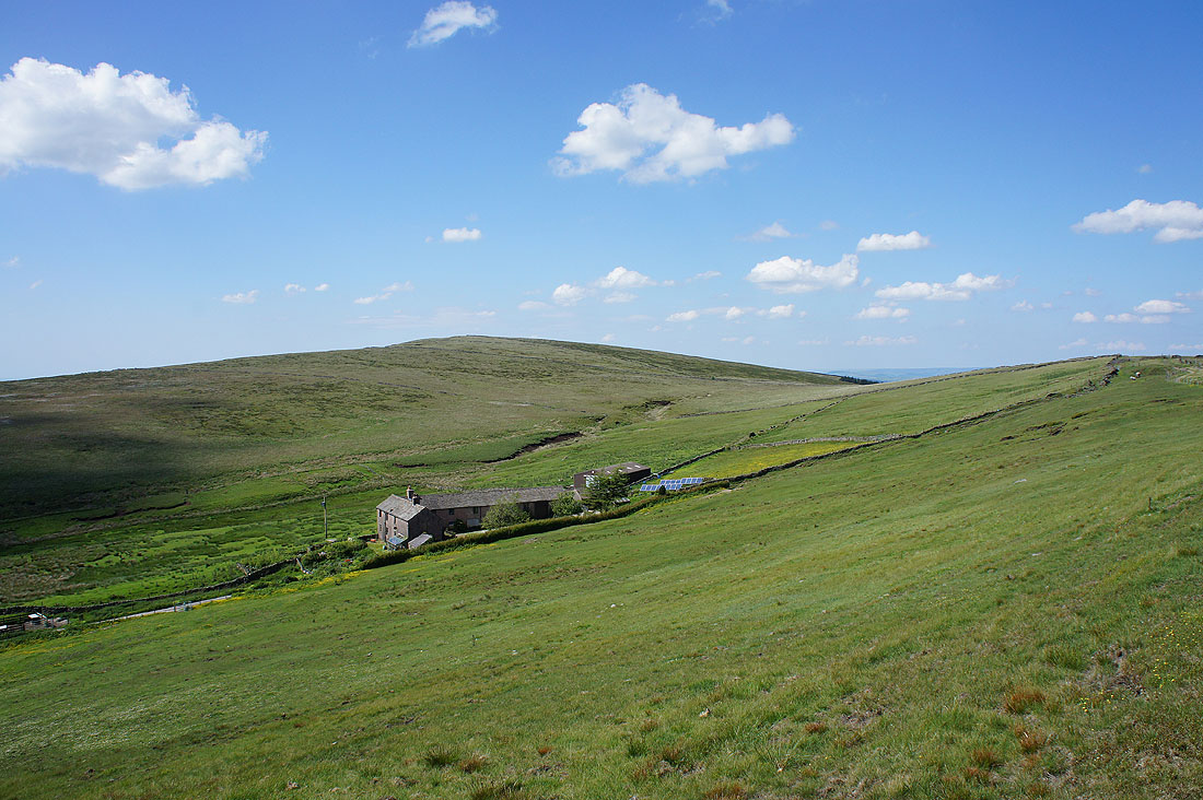
On the footpath to Brough's Place
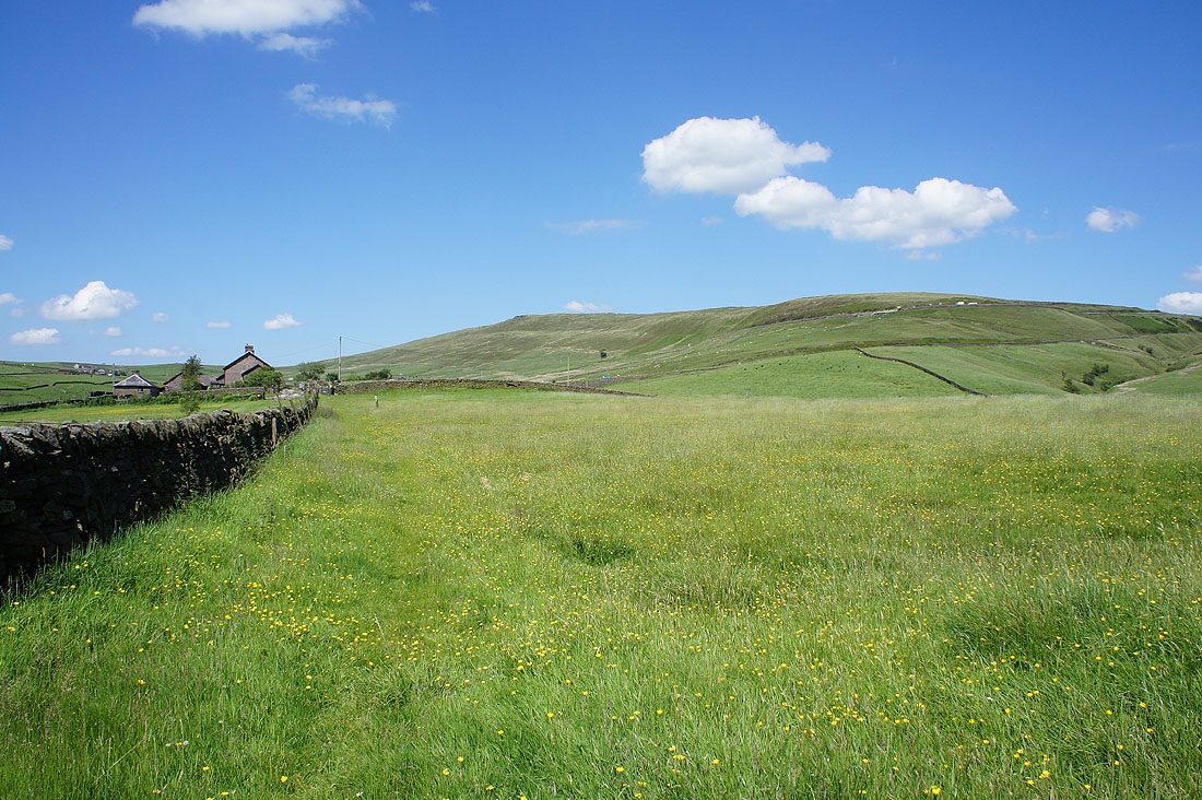
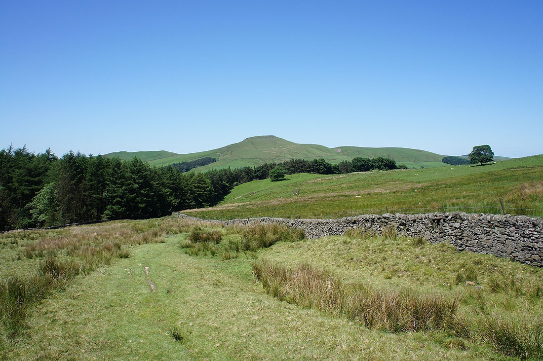
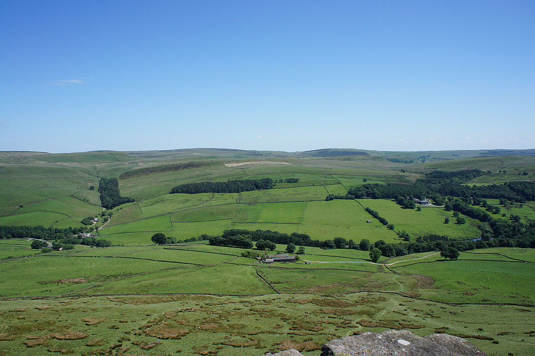
and then to Torgate Farm beneath Shining Tor. It's a beautiful summer's afternoon.
Shining Tor above Stake Farm
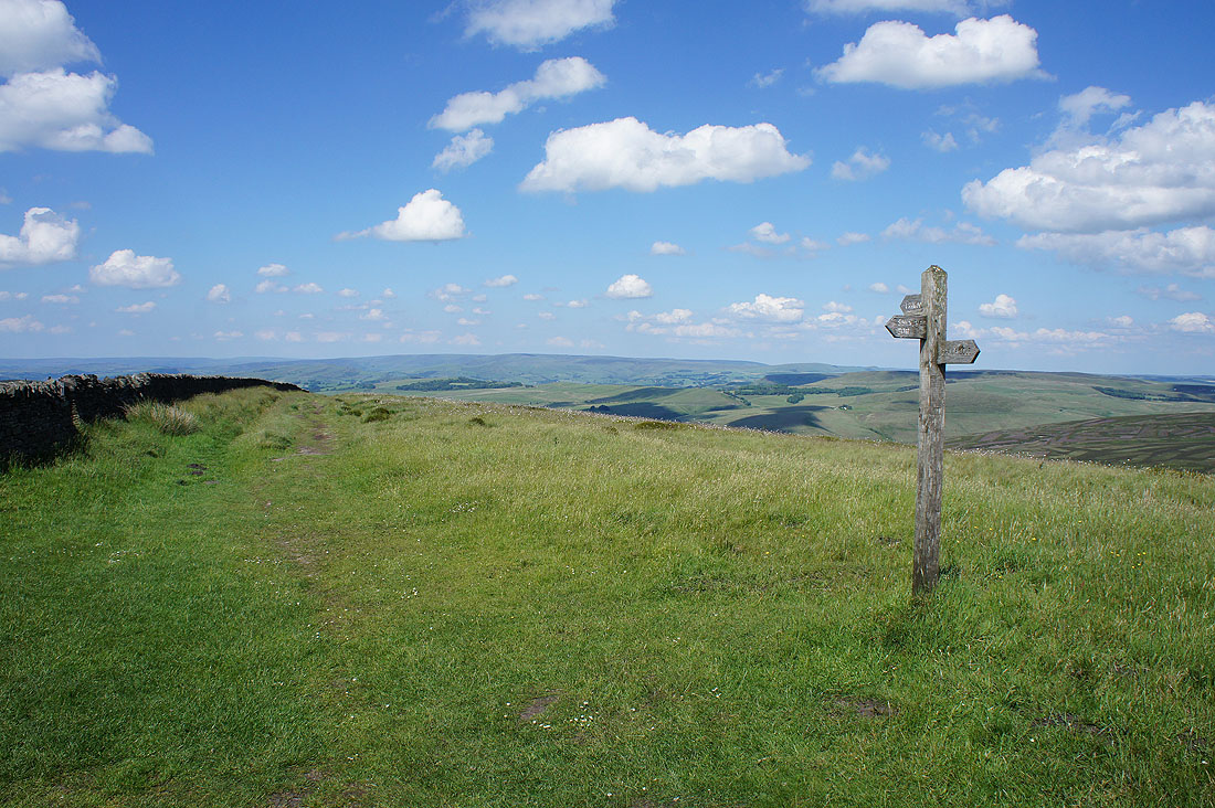
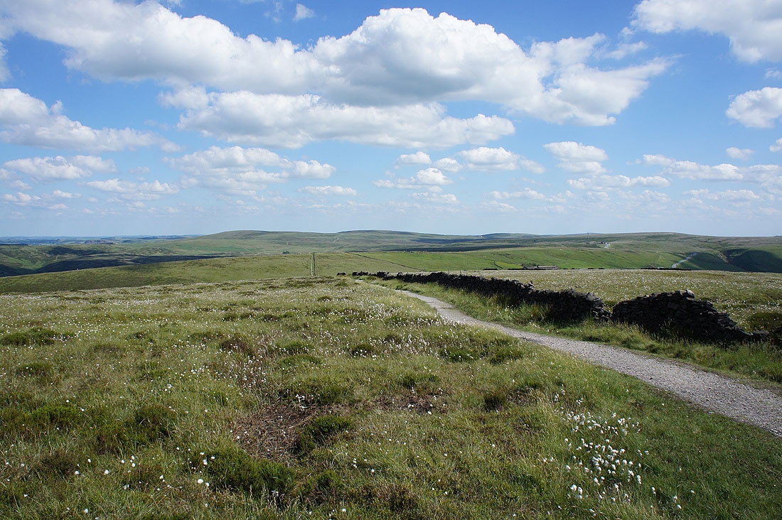
The fingerpost tells me to go left to Shining Tor
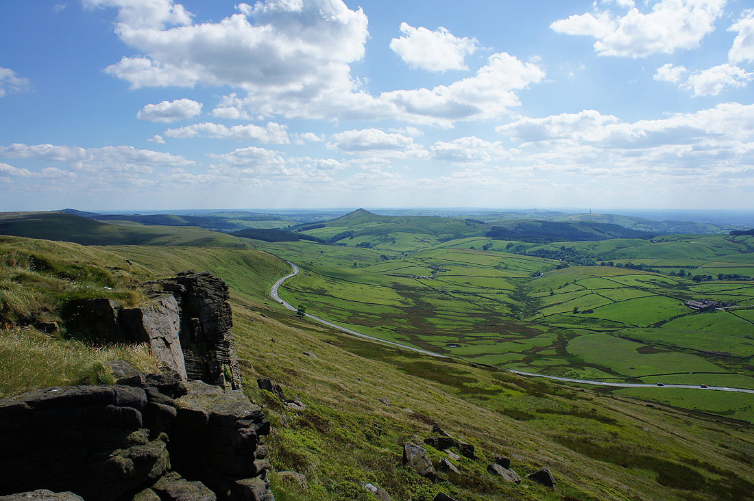
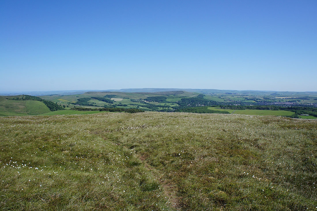
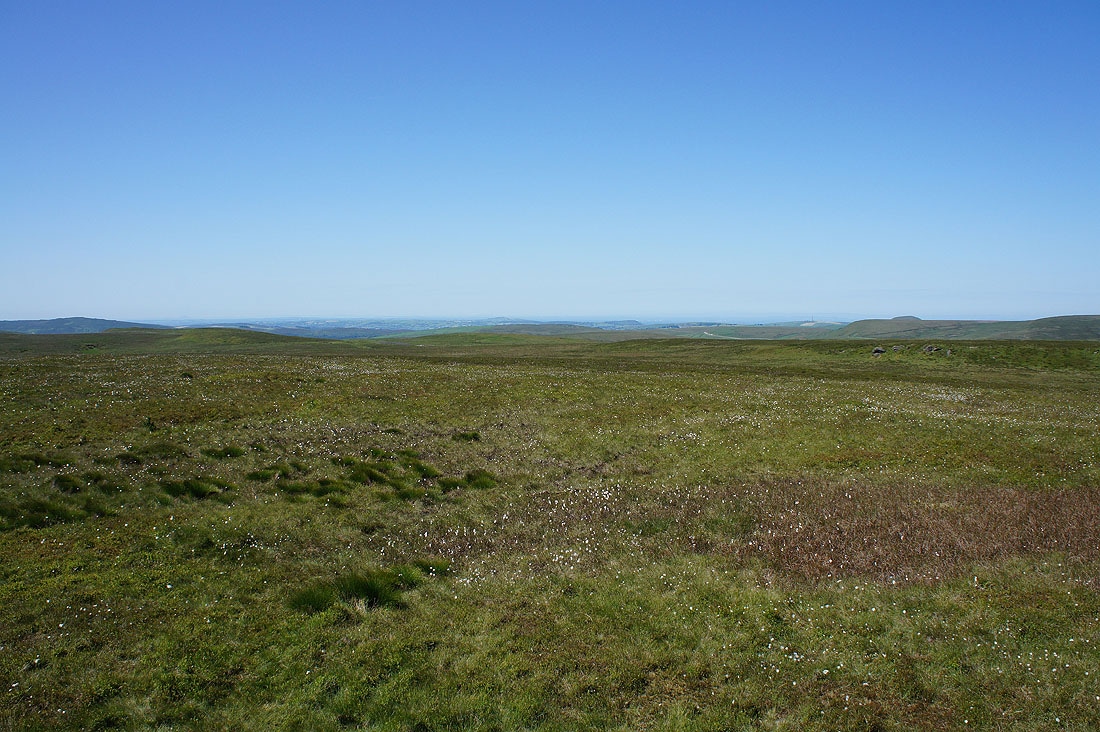
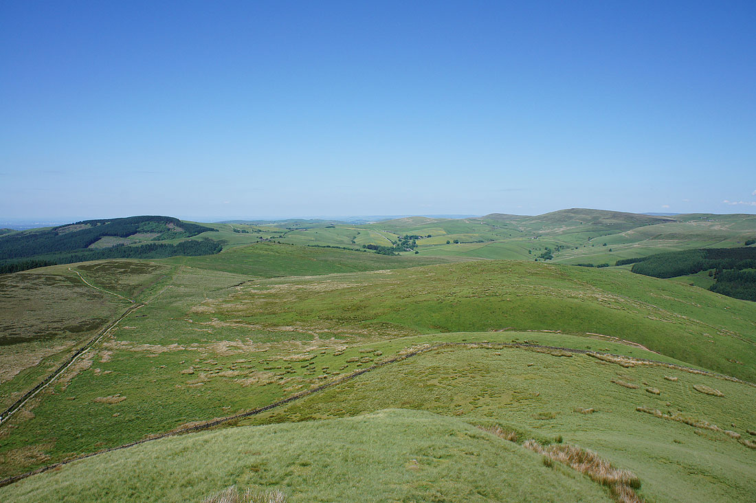
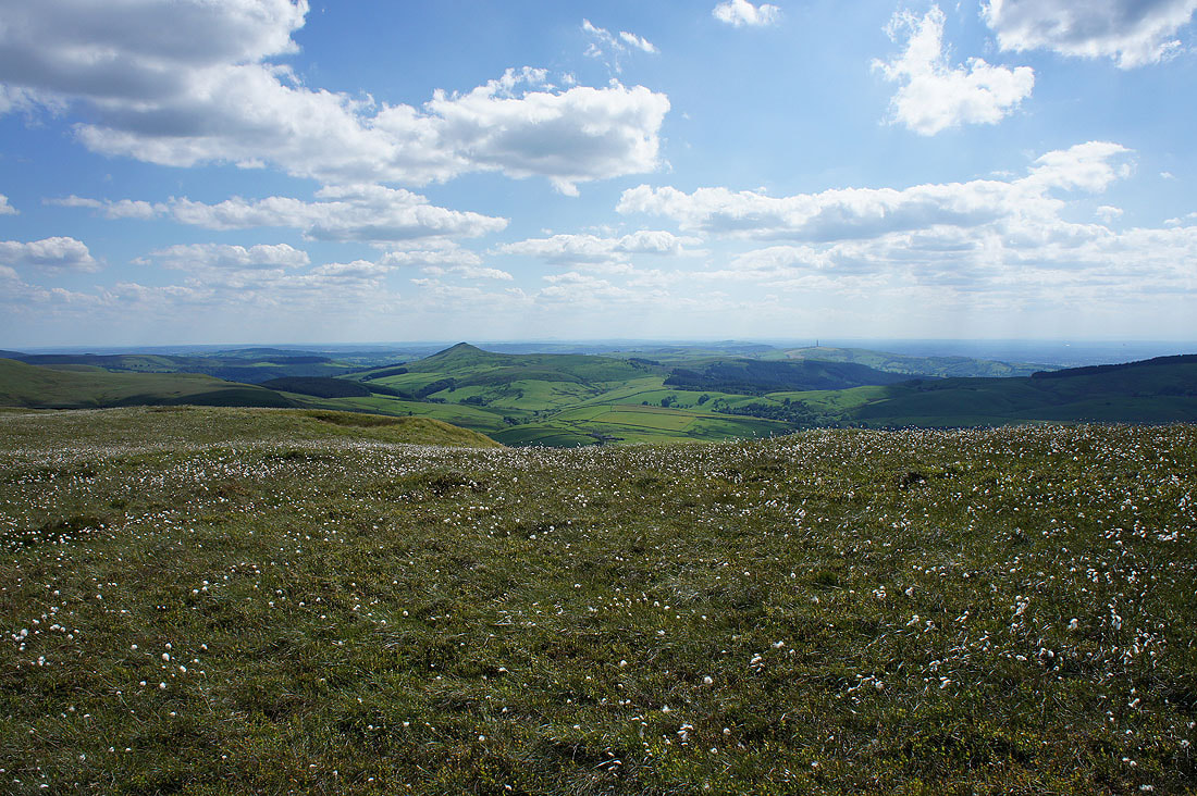
There are fantastic views from up here today with such good visibility. Looking south to Shutlingsloe with the Cat & Fiddle road below.
and north to a distant outline of hills on the horizon which are the West Pennine Moors. That's where I live.
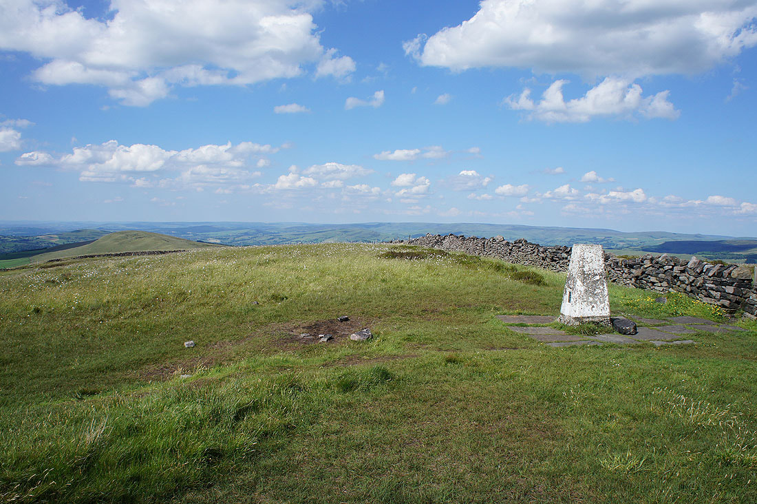
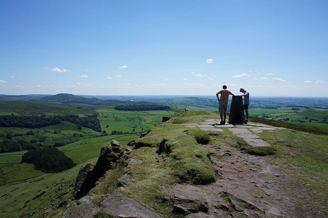
At the trig point on Shining Tor
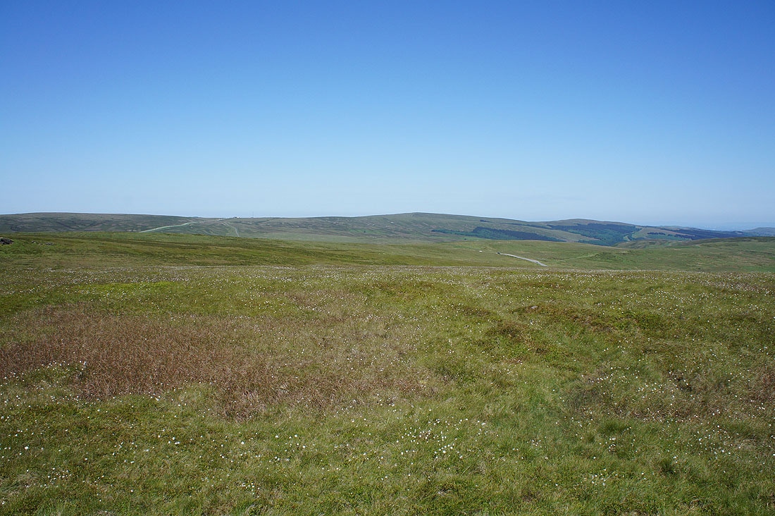
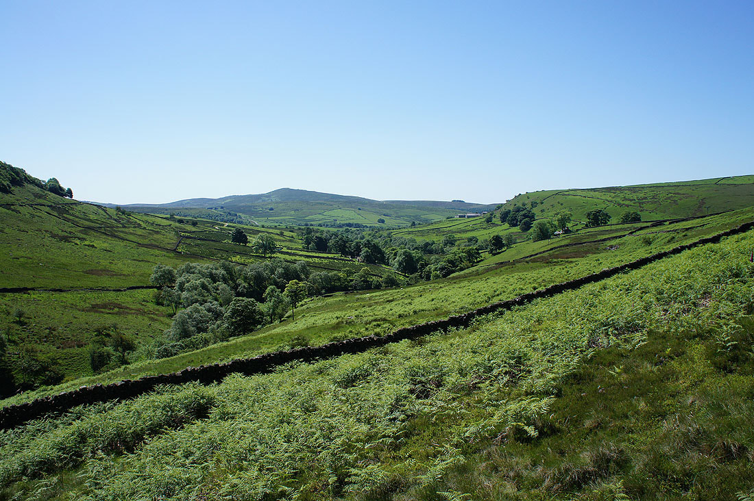
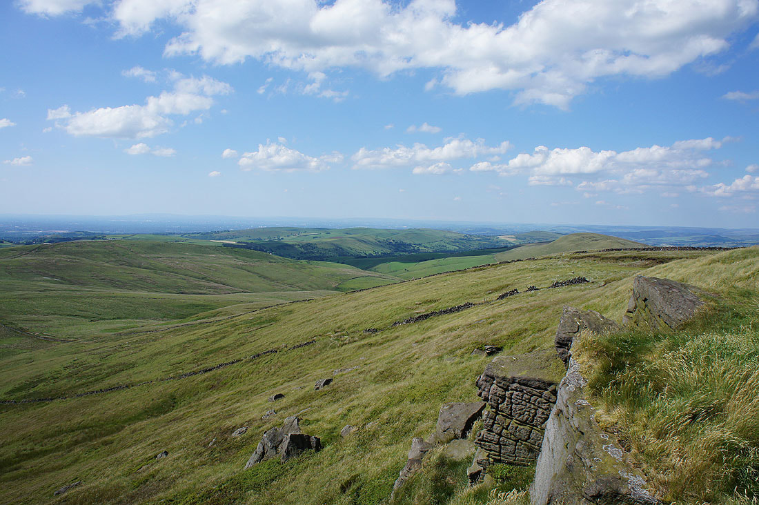
Looking southeast to where I was this morning, Axe Edge Moor
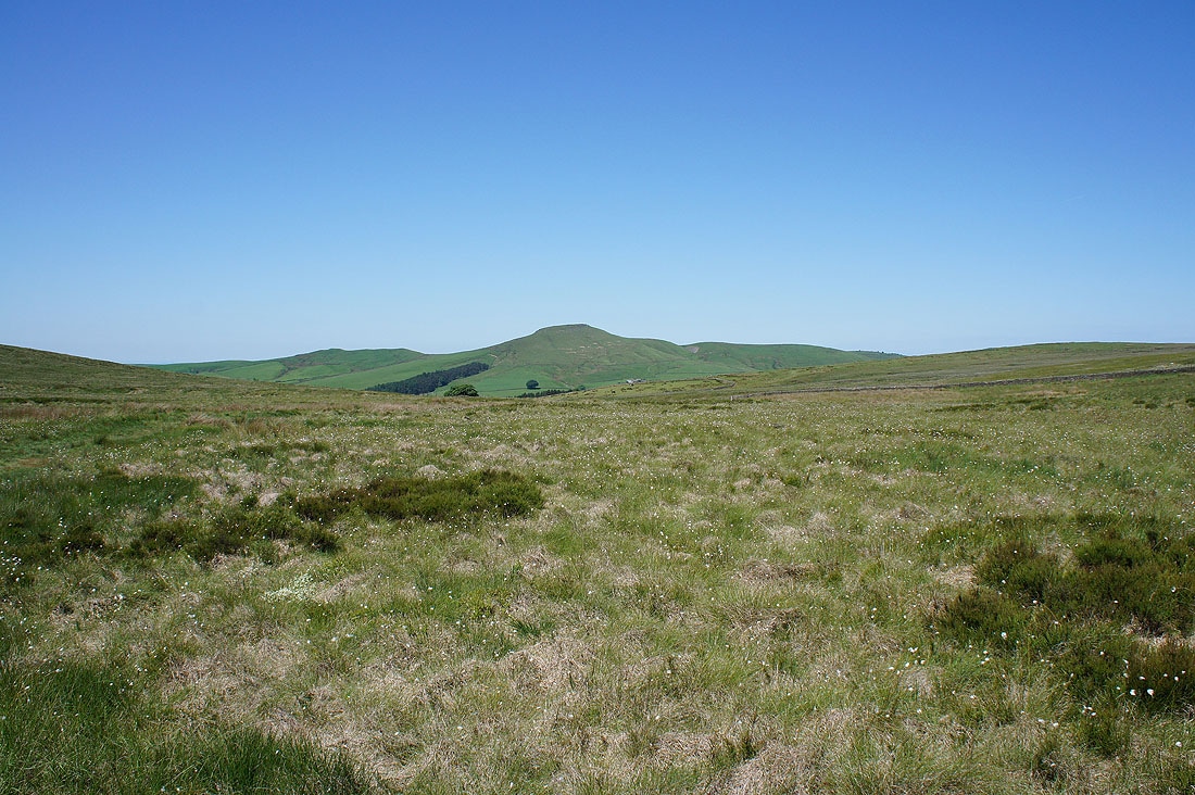
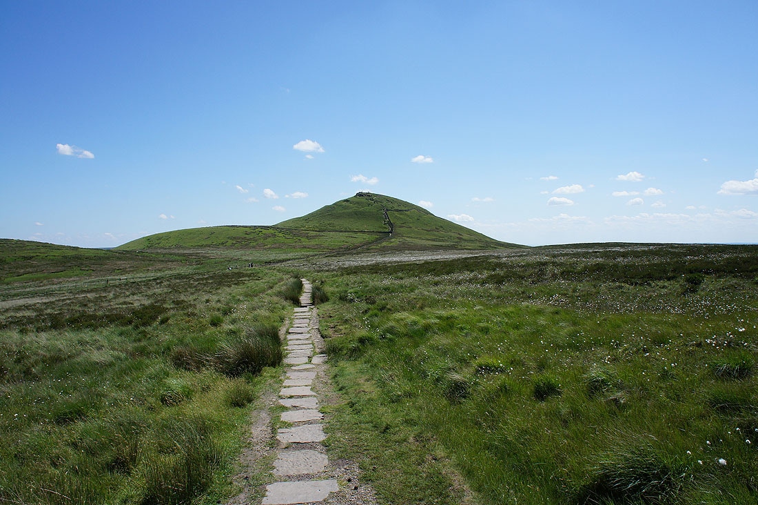
I couldn't resist taking another photo of Shutlingsloe with the cotton grass in the foreground
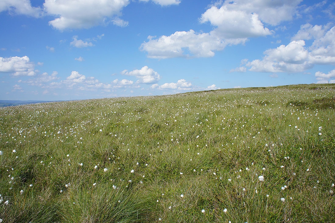
There's plenty of it on the moors round here
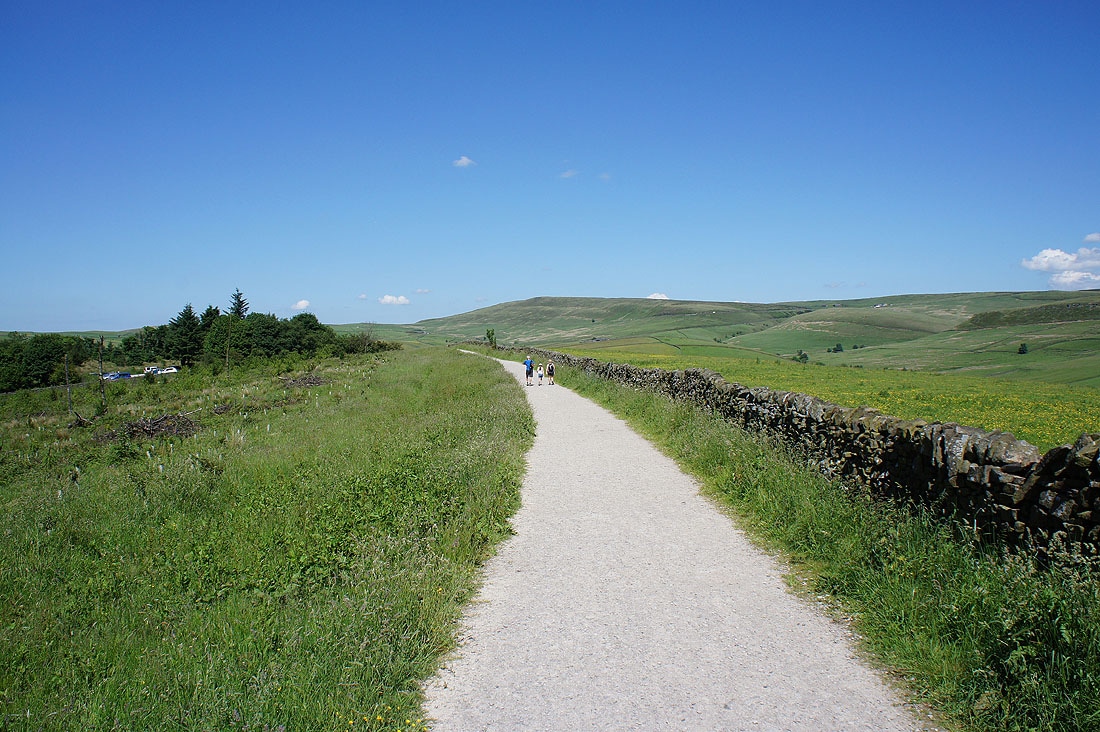
Not far to go now as I approach the Cat & Fiddle pub, which is still shut. It's been closed for about eighteen months now.
I finish with a walk down the road back to Derbyshire Bridge