18th June 2022 - Addlebrough and Raydale
Walk Details
Distance walked: 13.3 miles
Total ascent: 2433 ft
OS map used: OL30 - Yorkshire Dales, Northern & Central areas
Time taken: 7 hrs
Route description: Semer Water-River Bain-Blean Lane-Carpley Green Road-Addlebrough-Carpley Green Road-Carpley Green Farm-Busk Lane-High Lane-Bob Lane-Stalling Busk-Busk Lane-Marsett-Marsett Bridge-Common Allotments-Crag-Crag Side Road-Semer Water Bridge-Semer Water
I decided to head to Wensleydale, or to be more exact Raydale, one of the many side valleys of Wensleydale, for my walk this weekend. The route that I went for was a slighter shorter version of one that I did a couple of years ago, taking in Addlebrough and the moorland around Raydale. Instead of starting from Bainbridge I set off from Semer Water, which took a few miles off the walk and made it less of a slog. Another reason for going up to this part of the Yorkshire Dales was to get the best of the weather that was on offer. With rain forecast close to where I live, and the cloud from it extending to the north, I drove as far north as I was prepared to for a day trip. I arrived at Semer Water under sunny skies and I enjoyed blue skies and sunny spells for the rest of the morning until the skies clouded over just after midday. The rest of the walk was then done under grey skies for most of the afternoon, with any sunshine weak and hazy.
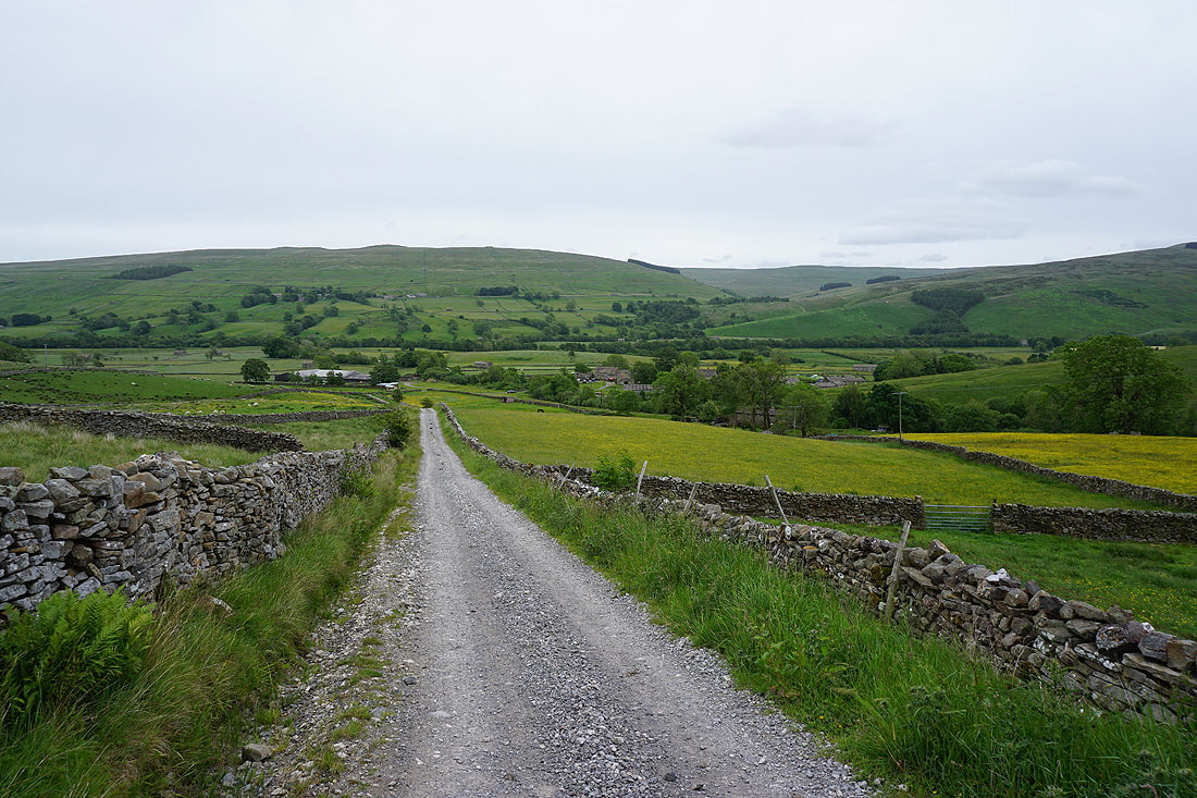
From where I parked by Semer Water, I set off by taking the footpath north by the River Bain from Semer Water Bridge. I left this for a bridleway on the right that I followed up through fields to Blean Lane, which I walked north along to Carpley Green Road, then I walked south along Carpley Green Road until I reached the bridleway across Worton Pasture to Cubeck on the left. I got onto access land here and made my way up the hillside to the crags on the northern side of Addlebrough, where a breach allowed me to climb up and reach the summit. I then made my way round the western and southwestern sides of Addlebrough before heading south to join the bridleway down to Carpley Green Road and a short walk south to Carpley Green Farm, from where I took the track of Busk Lane up onto Stake Allotments. When I reached the junction of byways on Stake Allotments I turned right and took the track of High Lane down towards Stalling Busk, leaving it for the track of Bob Lane down into the hamlet. From Stalling Busk I then followed the track of Busk Lane across Raydale to the hamlet of Marsett, then briefly walked north along Marsett Lane across Marsett Bridge, before taking a track on the left up to Bella where I took a footpath uphill onto Common Allotments. When I reached the bridleway across Common Allotments I followed it east across the moor to Crag. Just before the bridleway descends to Crag Side Road I left it and made my way to the northeastern end of Crag for its views of Wensleydale, then returned to the bridleway and followed it down to Crag Side Road. I then walked down Crag Side Road towards Countersett and then down the road to Semer Water Bridge, where I returned to where I'd parked by Semer Water.
Total ascent: 2433 ft
OS map used: OL30 - Yorkshire Dales, Northern & Central areas
Time taken: 7 hrs
Route description: Semer Water-River Bain-Blean Lane-Carpley Green Road-Addlebrough-Carpley Green Road-Carpley Green Farm-Busk Lane-High Lane-Bob Lane-Stalling Busk-Busk Lane-Marsett-Marsett Bridge-Common Allotments-Crag-Crag Side Road-Semer Water Bridge-Semer Water
I decided to head to Wensleydale, or to be more exact Raydale, one of the many side valleys of Wensleydale, for my walk this weekend. The route that I went for was a slighter shorter version of one that I did a couple of years ago, taking in Addlebrough and the moorland around Raydale. Instead of starting from Bainbridge I set off from Semer Water, which took a few miles off the walk and made it less of a slog. Another reason for going up to this part of the Yorkshire Dales was to get the best of the weather that was on offer. With rain forecast close to where I live, and the cloud from it extending to the north, I drove as far north as I was prepared to for a day trip. I arrived at Semer Water under sunny skies and I enjoyed blue skies and sunny spells for the rest of the morning until the skies clouded over just after midday. The rest of the walk was then done under grey skies for most of the afternoon, with any sunshine weak and hazy.
From where I parked by Semer Water, I set off by taking the footpath north by the River Bain from Semer Water Bridge. I left this for a bridleway on the right that I followed up through fields to Blean Lane, which I walked north along to Carpley Green Road, then I walked south along Carpley Green Road until I reached the bridleway across Worton Pasture to Cubeck on the left. I got onto access land here and made my way up the hillside to the crags on the northern side of Addlebrough, where a breach allowed me to climb up and reach the summit. I then made my way round the western and southwestern sides of Addlebrough before heading south to join the bridleway down to Carpley Green Road and a short walk south to Carpley Green Farm, from where I took the track of Busk Lane up onto Stake Allotments. When I reached the junction of byways on Stake Allotments I turned right and took the track of High Lane down towards Stalling Busk, leaving it for the track of Bob Lane down into the hamlet. From Stalling Busk I then followed the track of Busk Lane across Raydale to the hamlet of Marsett, then briefly walked north along Marsett Lane across Marsett Bridge, before taking a track on the left up to Bella where I took a footpath uphill onto Common Allotments. When I reached the bridleway across Common Allotments I followed it east across the moor to Crag. Just before the bridleway descends to Crag Side Road I left it and made my way to the northeastern end of Crag for its views of Wensleydale, then returned to the bridleway and followed it down to Crag Side Road. I then walked down Crag Side Road towards Countersett and then down the road to Semer Water Bridge, where I returned to where I'd parked by Semer Water.
Route map
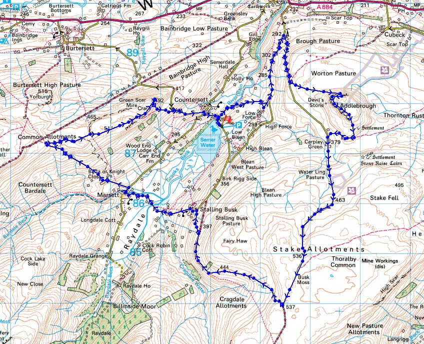
© Crown copyright. All rights reserved. License number PU 100034184.
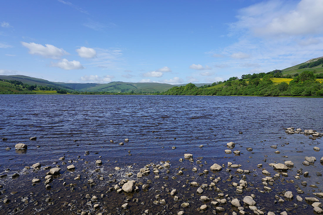
It's a beautiful summer's morning at Semer Water
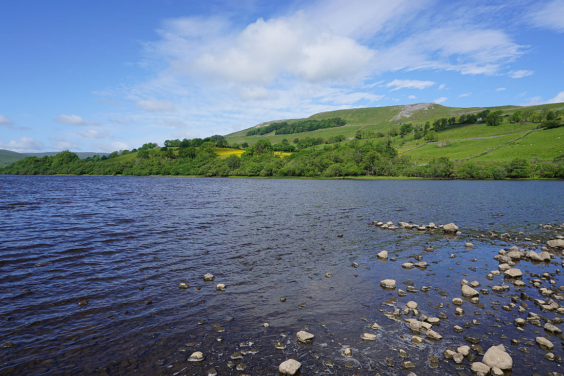
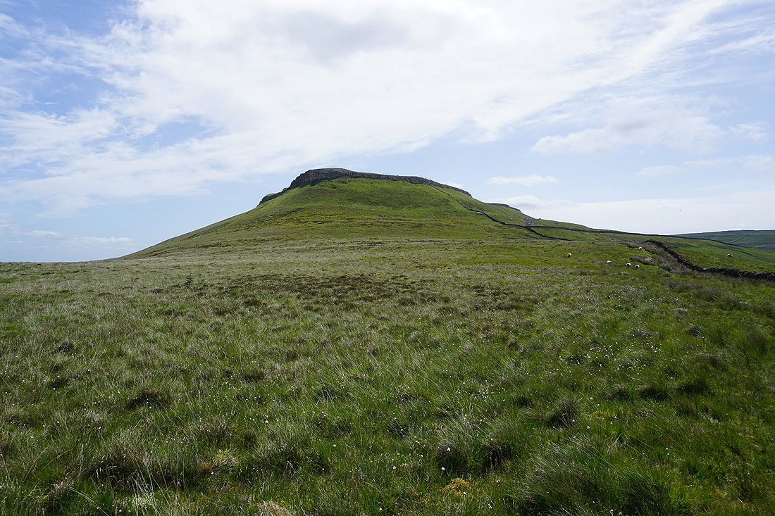
The hillside of Crag, which I'll be making my way down from at the end of the afternoon
Looking across Semer Water from where the River Bain leaves it
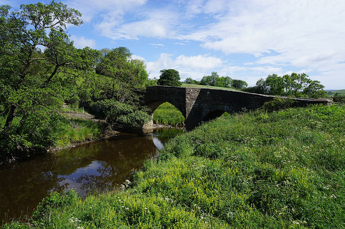
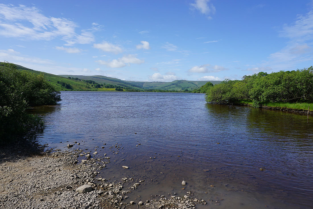
Semer Water Bridge
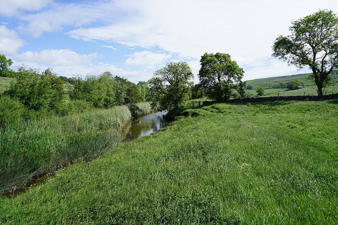
On the footpath by the River Bain
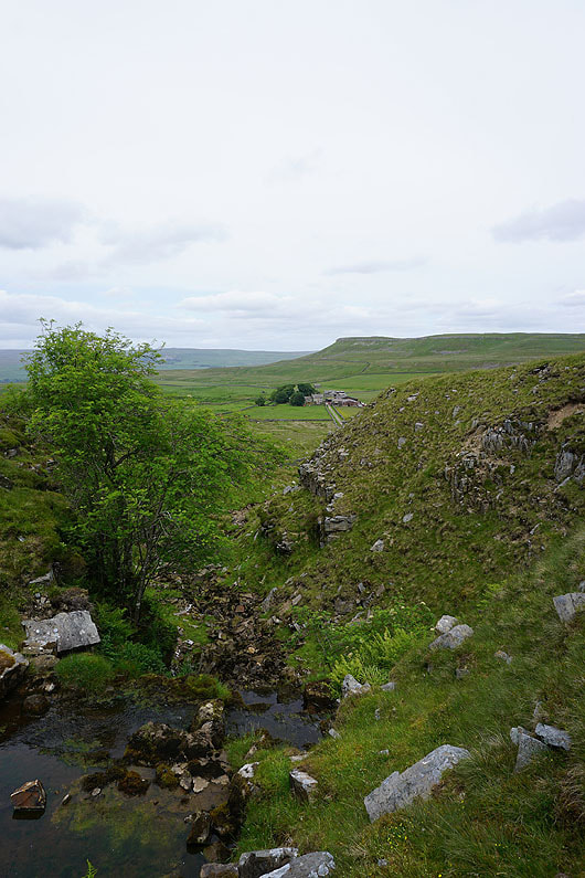
The River Bain below Crag
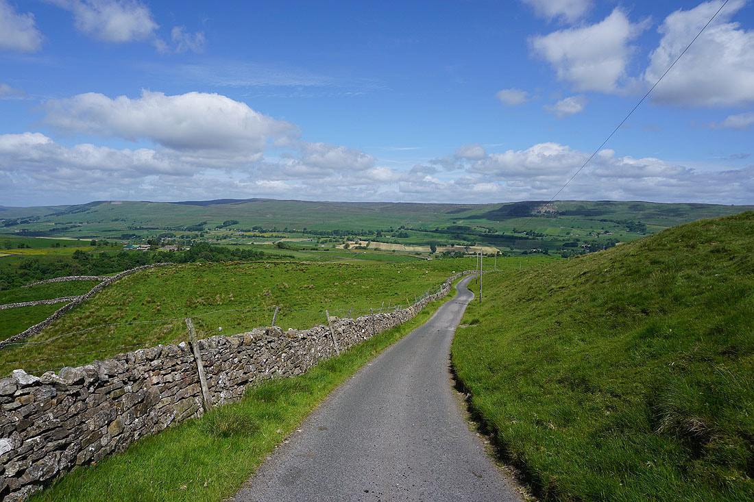
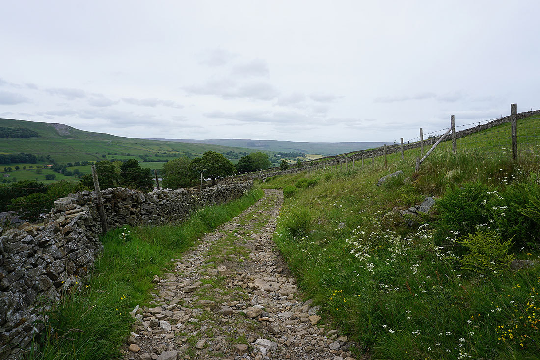
I leave the footpath by the River Bain and follow the bridleway up to Blean Lane
Looking back down to the River Bain and across to the hillside of Crag..
Walking north along Blean Lane
The hillside of Crag from Blean Lane
Looking back as I walk up Carpley Green Road to Stags Fell and Whitfield Scar on the other side of Wensleydale
and across the wooded valley of the River Bain to Wensleydale
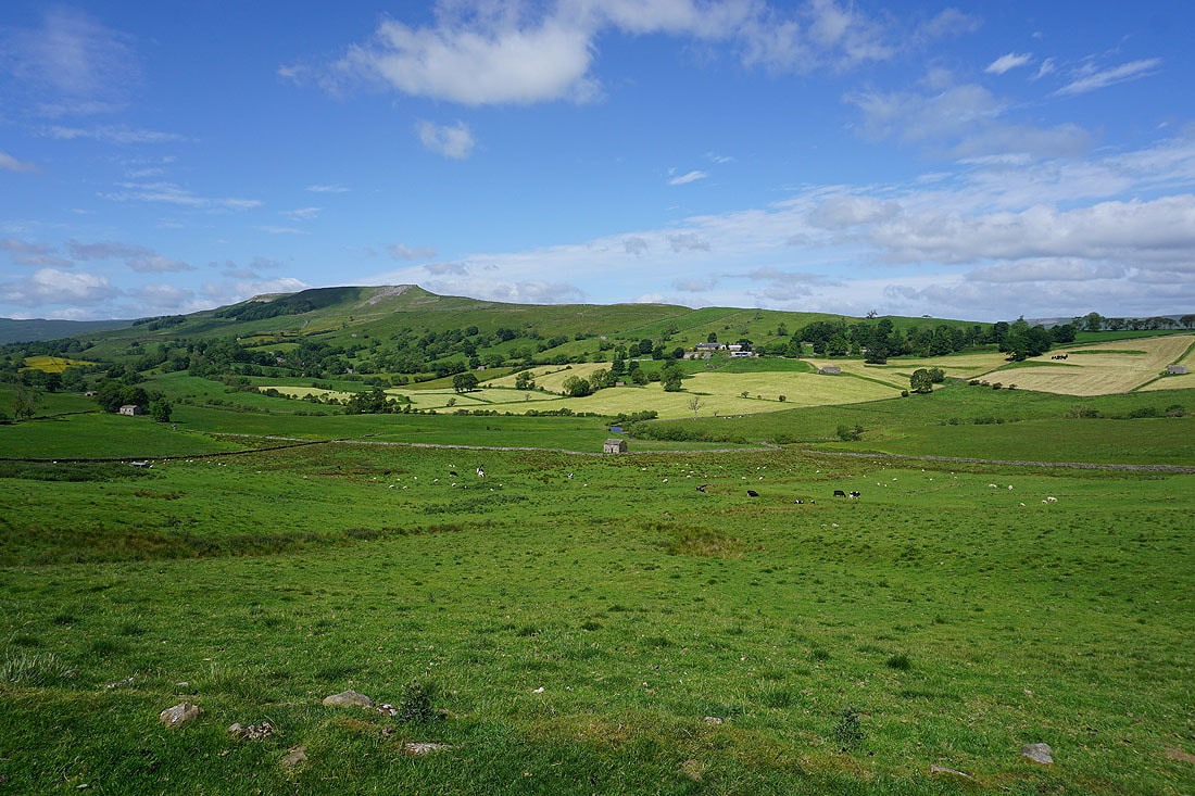
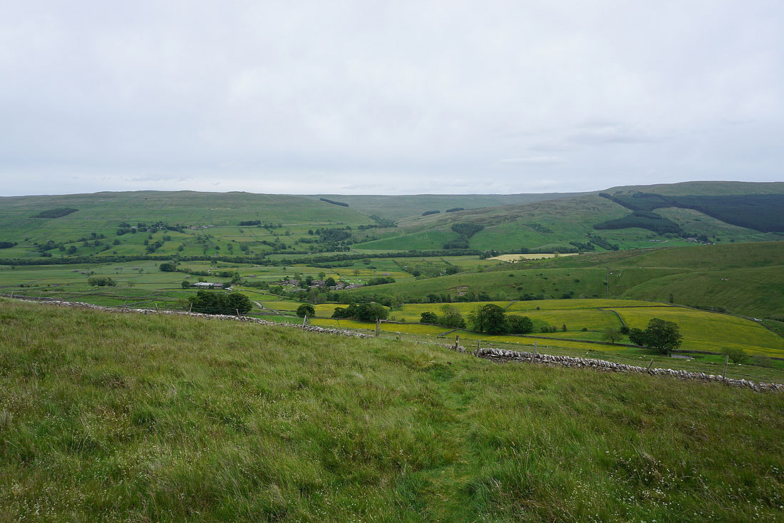
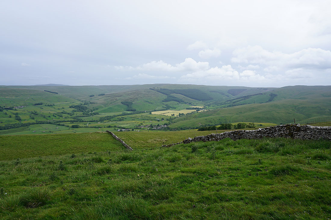
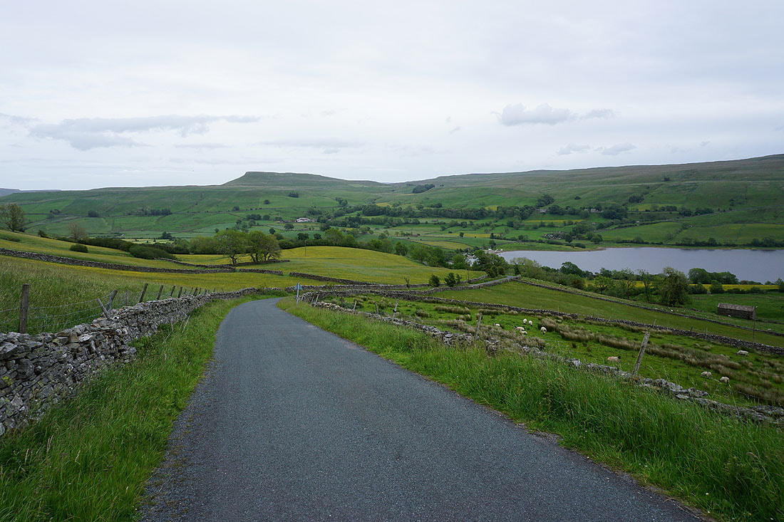
Leaning over the wall by the side of the road and I get a great view of Semer Water and Raydale
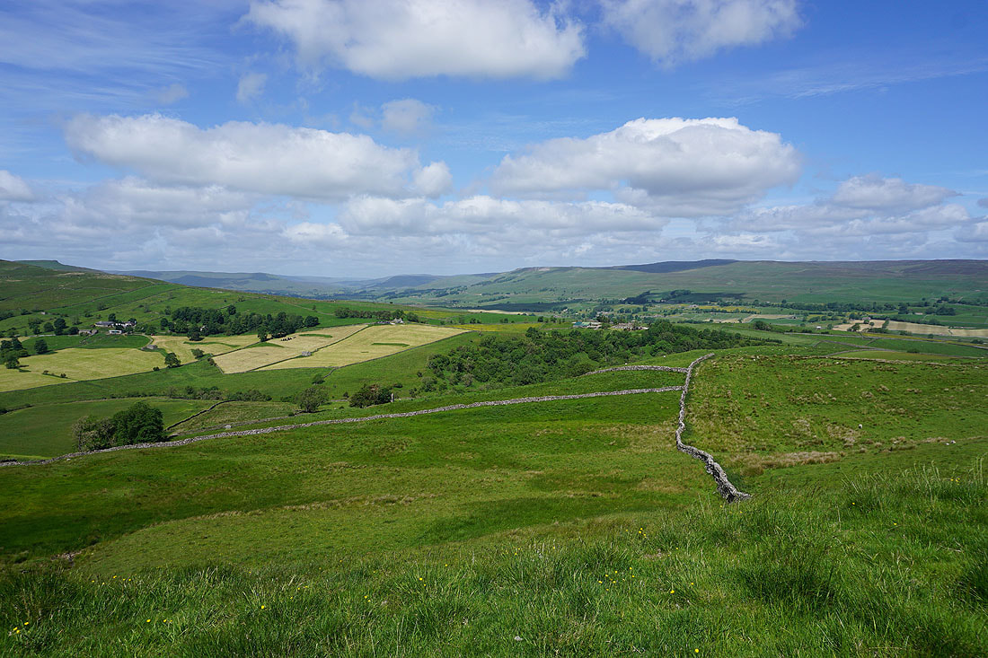
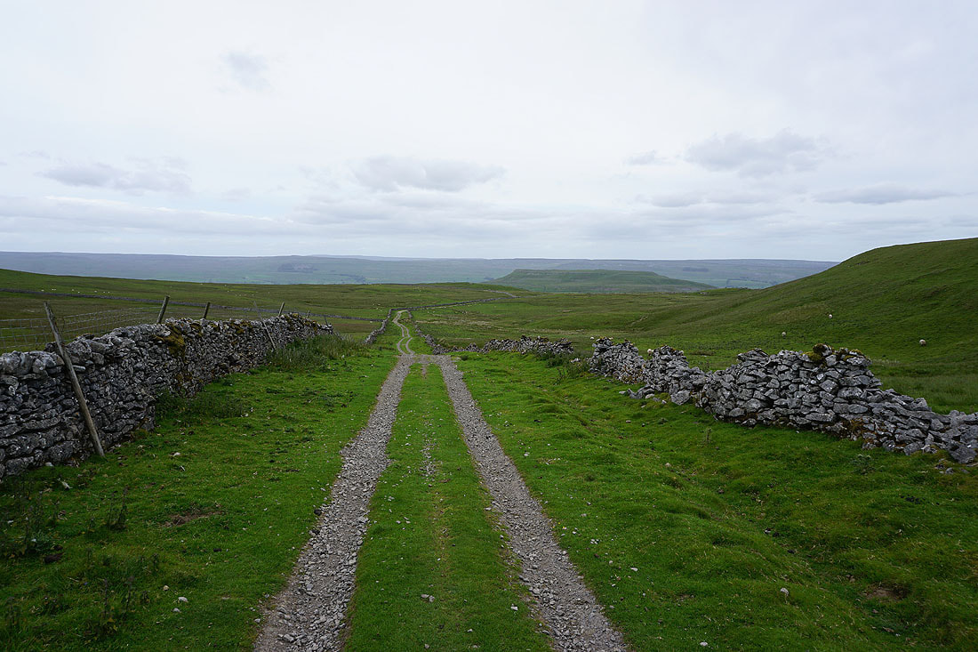
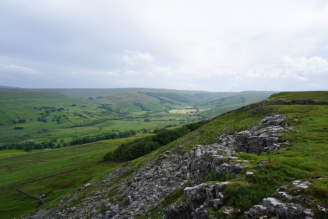
I leave Carpley Green Road at the bridleway across Worton Pasture to Cubeck, and head up access land to Addlebrough
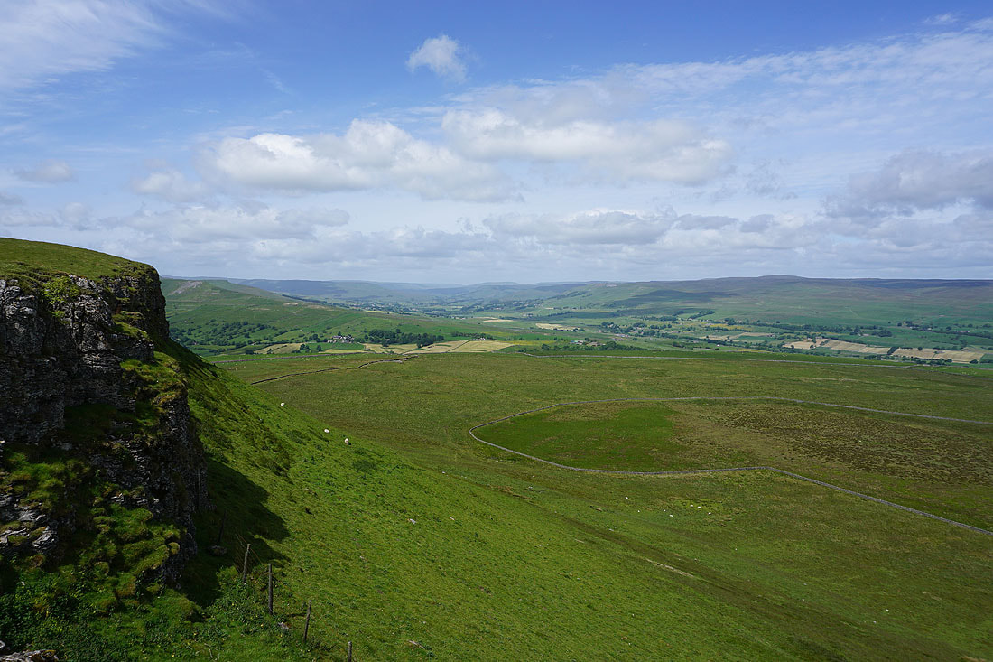
A short time later and I'm on the northern edge of Addlebrough taking in the great view. Looking west up Wensleydale, with the moorland rising to the high point of Lovely Seat on the right..
..and looking east down Wensleydale with Carperby Moor and Ivy Scar on the left and Penhill on the right
Looking across Wensleydale to Askrigg and Ellerkin Scar
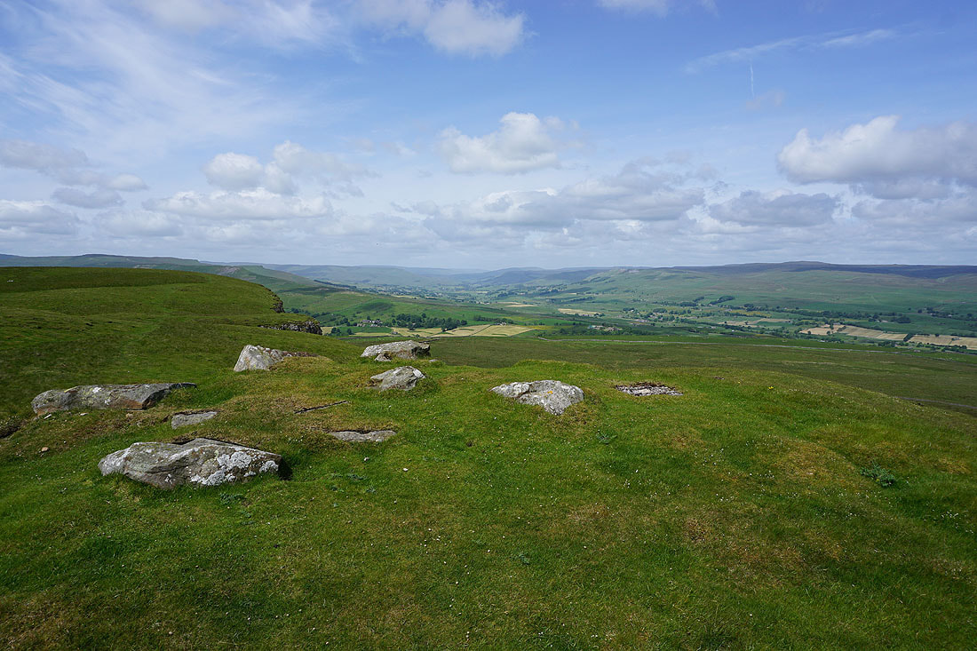
On the summit of Addlebrough
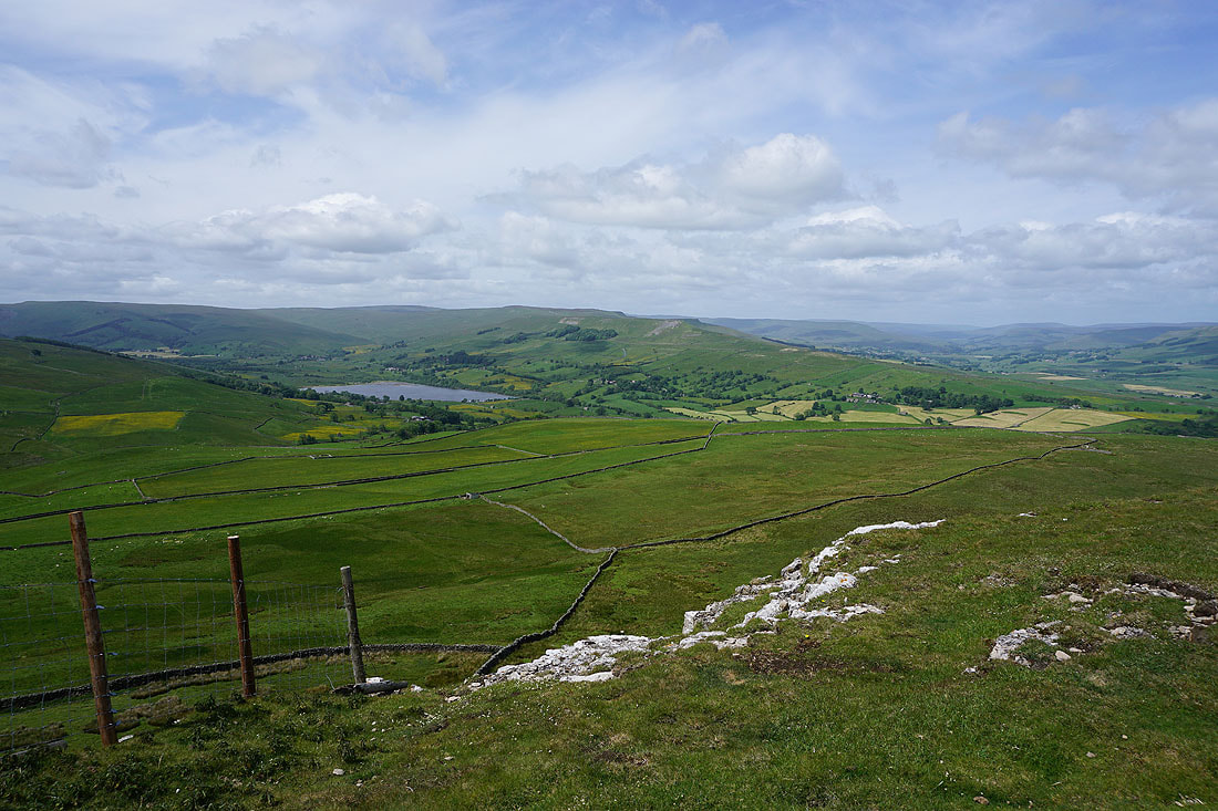
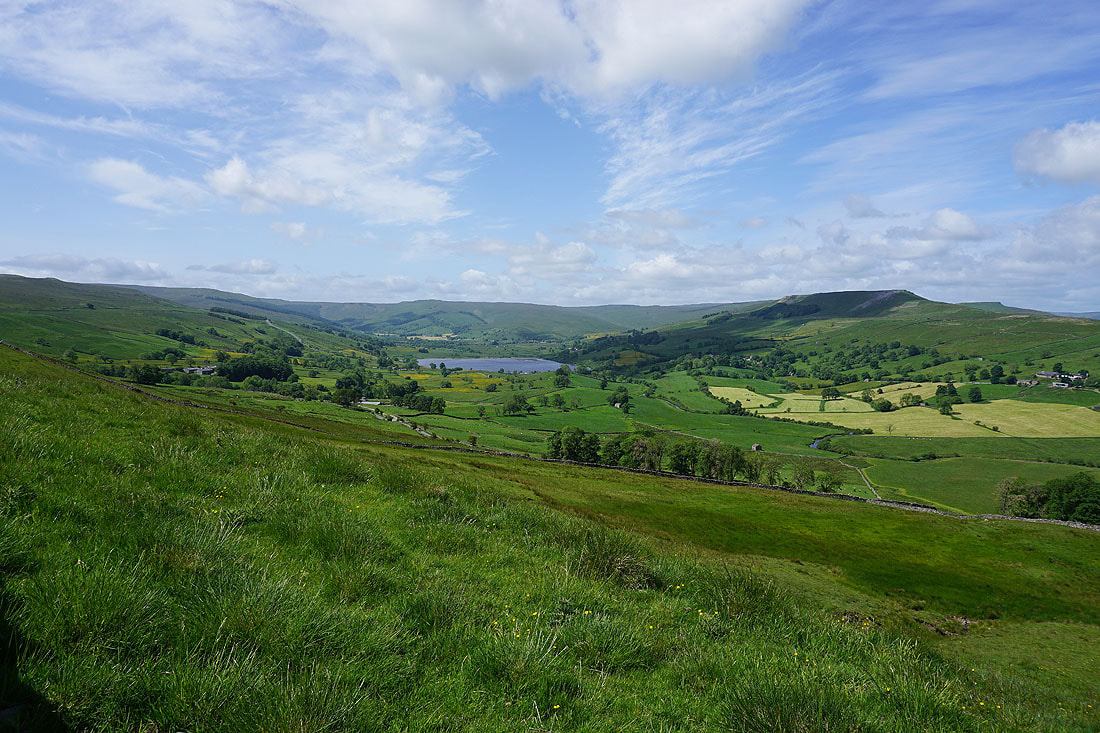
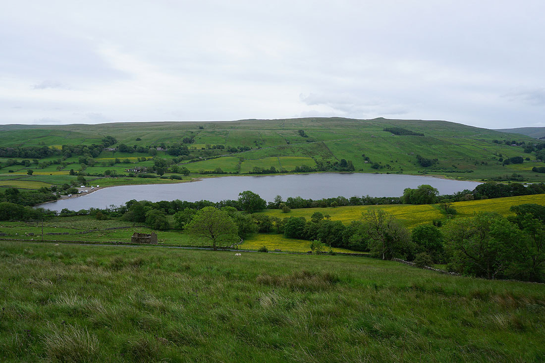
Undoubtedly the best view from Addlebrough is that of Semer Water and Raydale from its western edge..
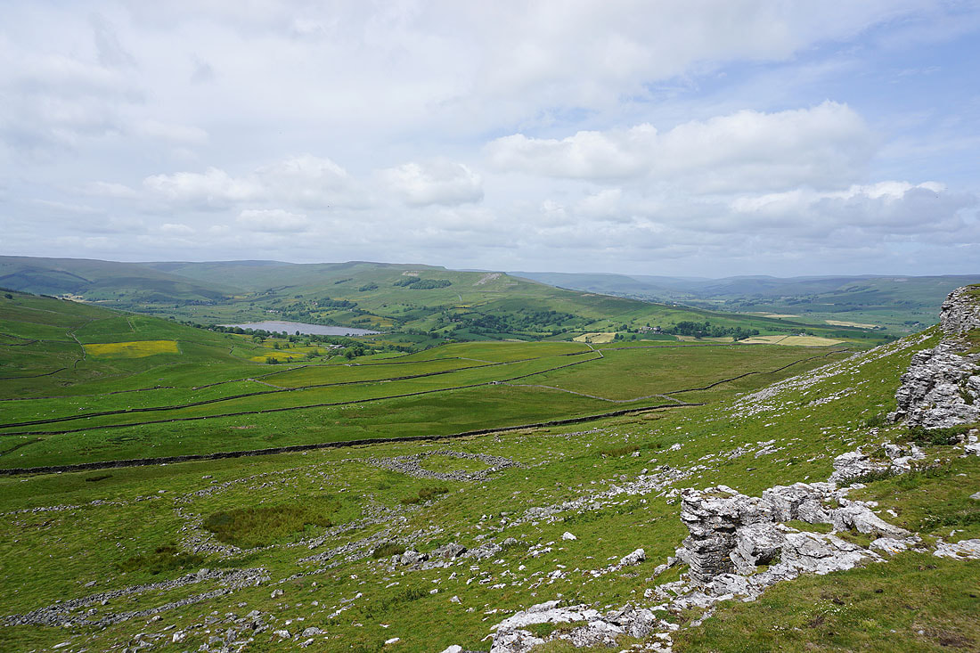
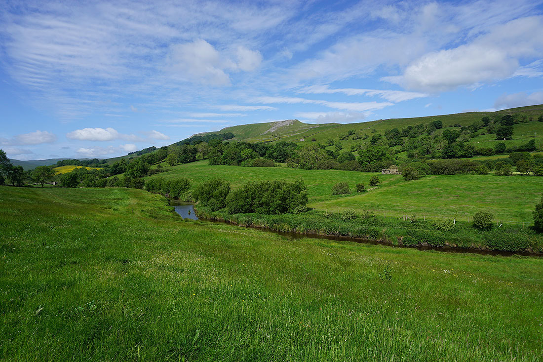
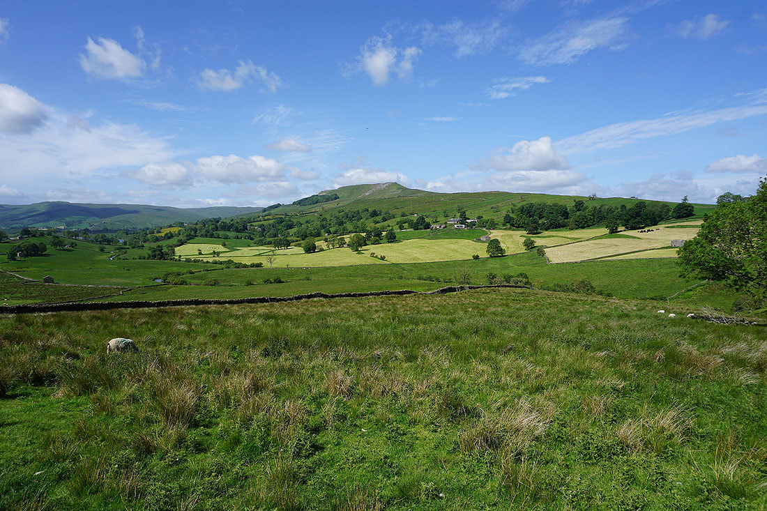
Looking across Thornton Rust Moor to Penhill and Harland Hill in the distance
On the bridleway down to Carpley Green Road
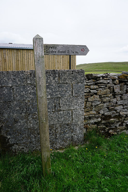
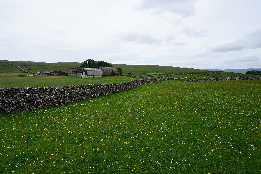
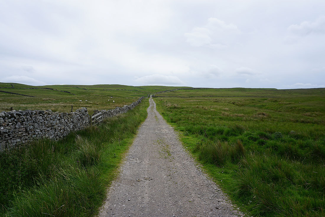
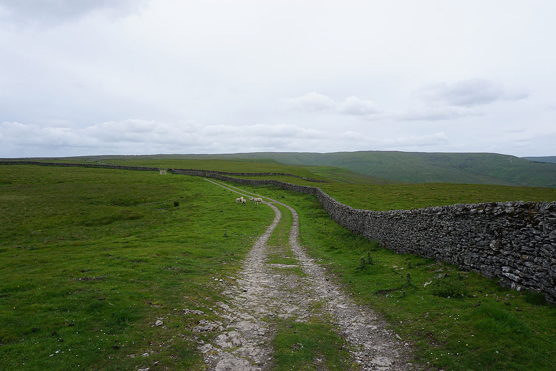
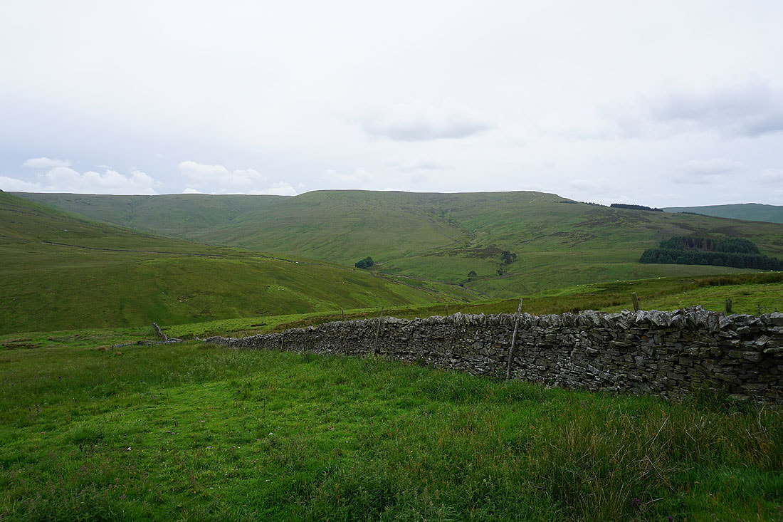
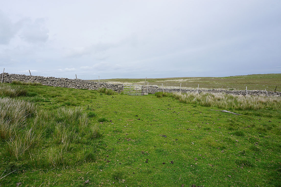
From Carpley Green Farm I take the byway of Busk Lane up to its junction with Stake Road on the moorland of Stake Allotments
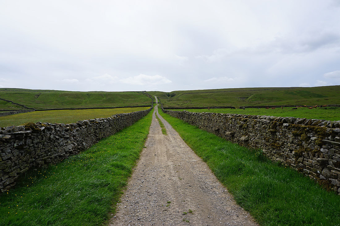
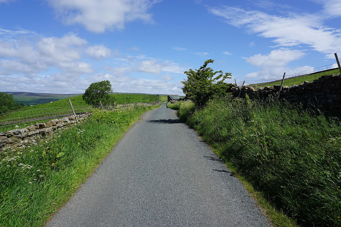
Heading south on the byway of Busk Lane
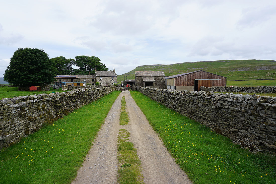
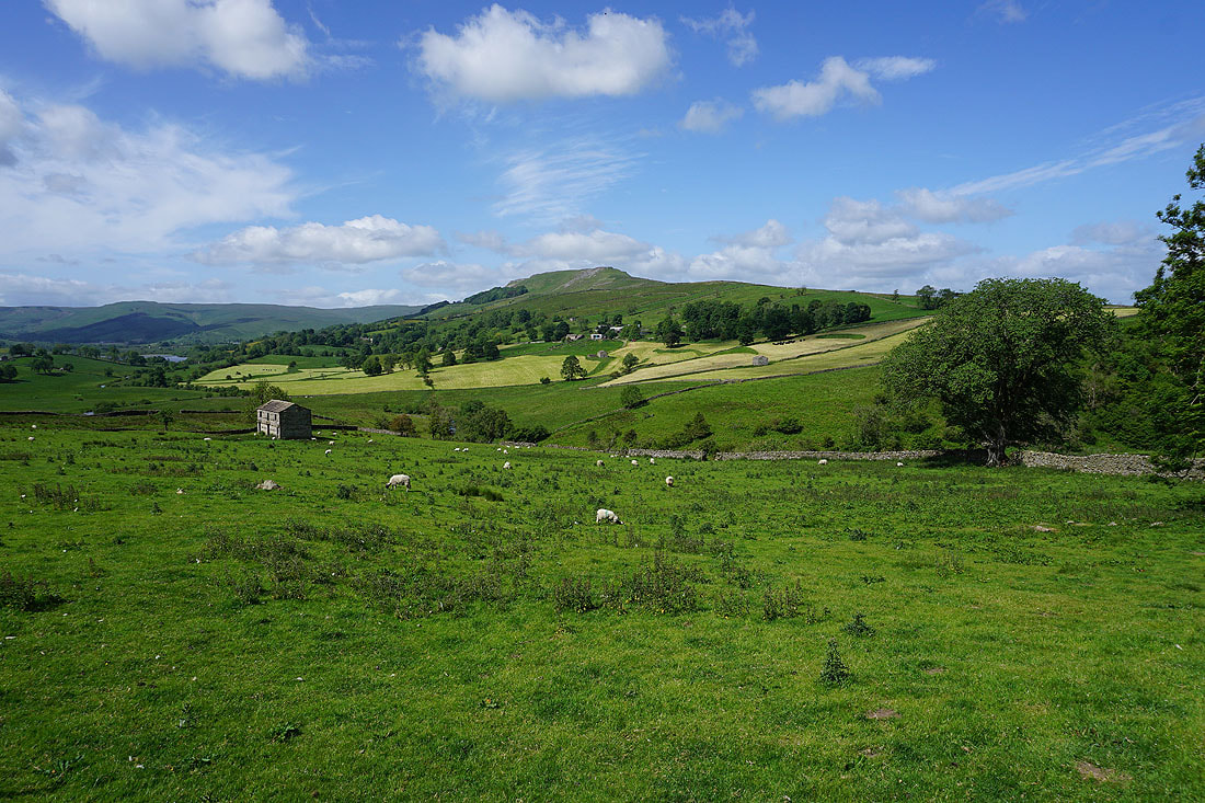
Looking back to Carpley Green Farm beneath Addlebrough
|
|
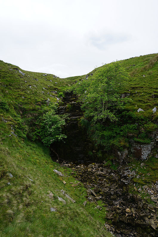
The waterfall of Water Ling Force, which is on access land off Busk Lane. It isn't much to look at with the recent lack of rain..
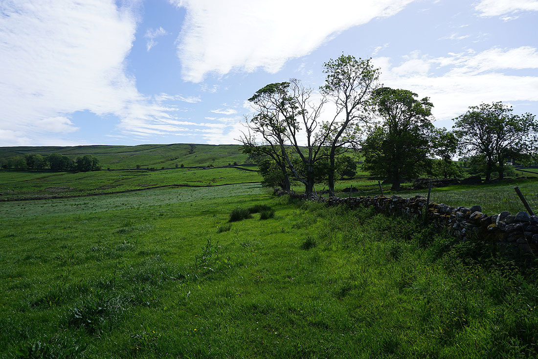
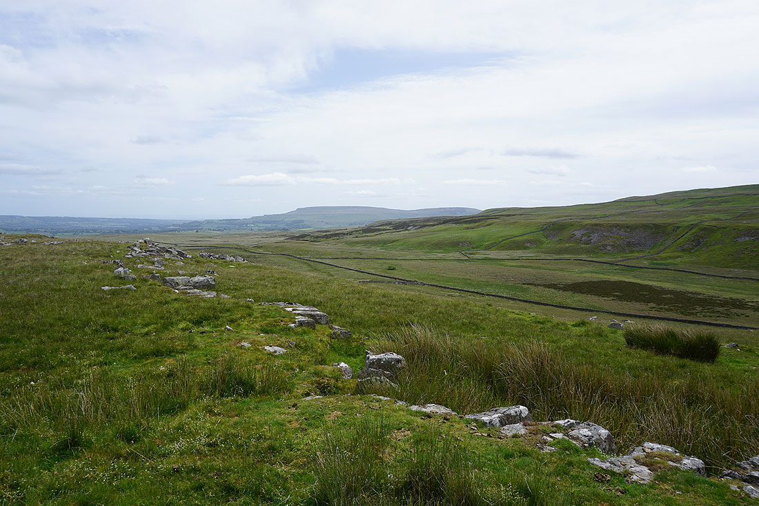
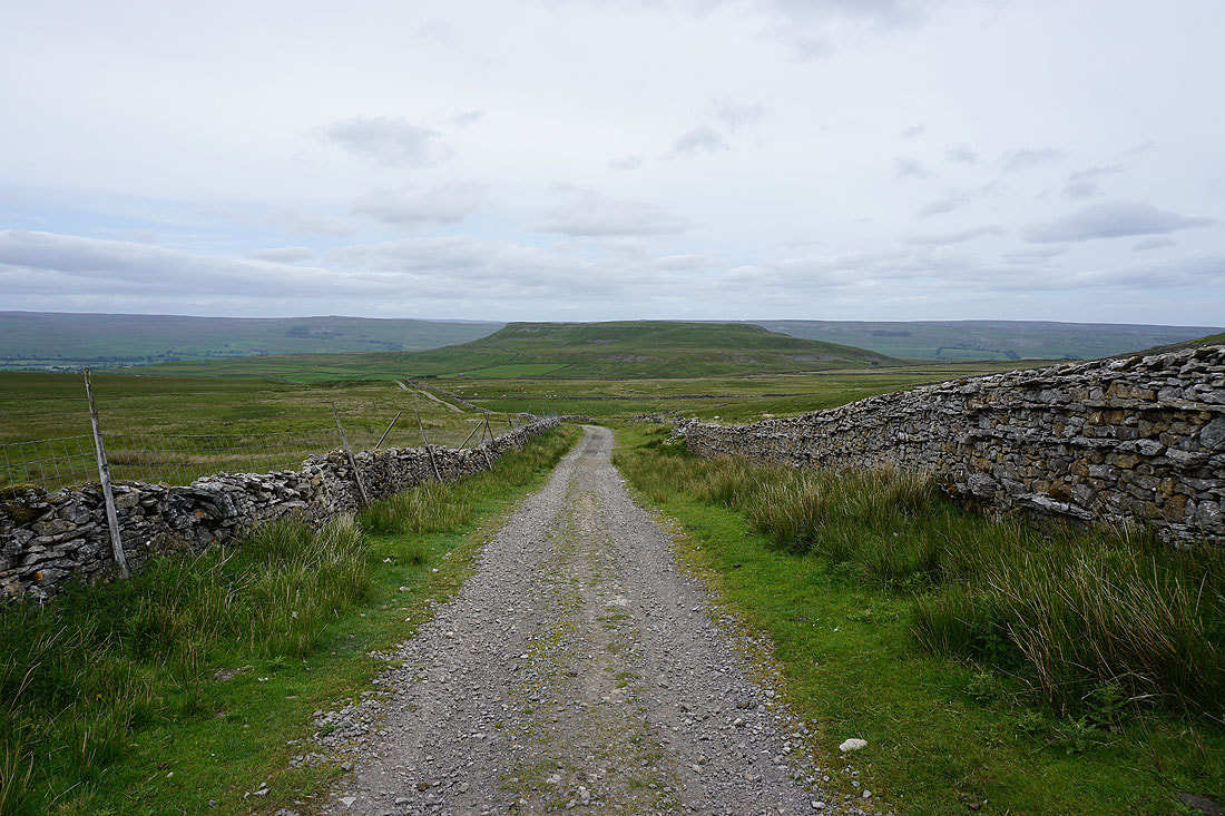
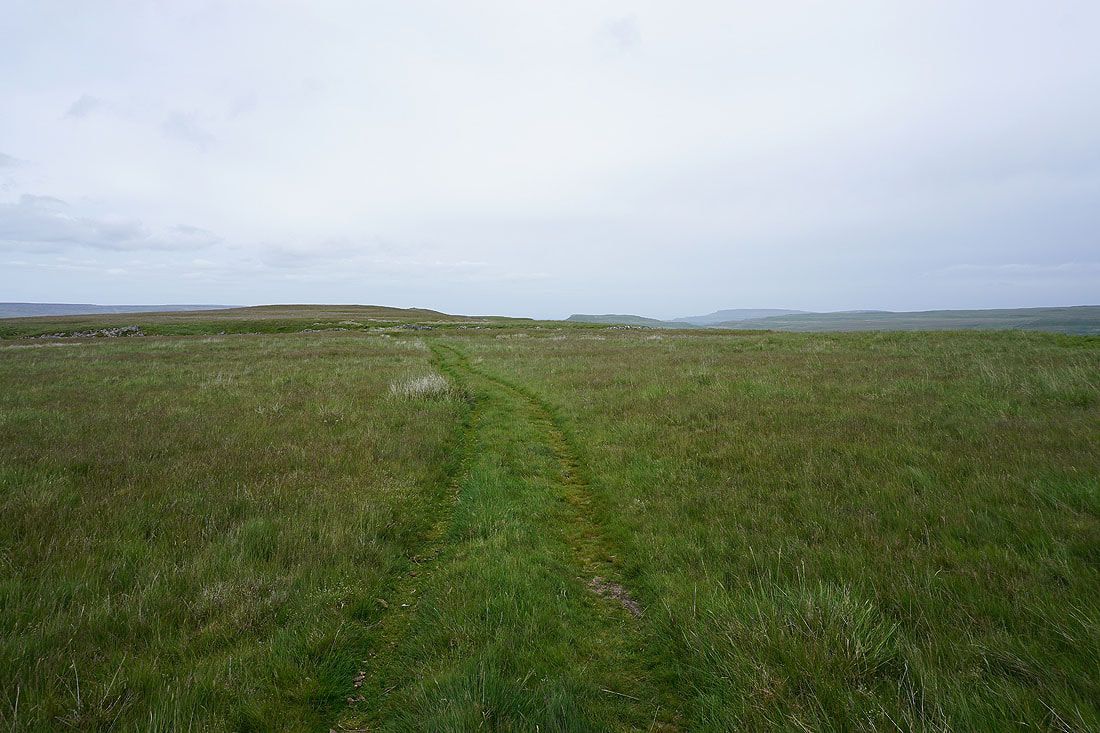
Views across the surrounding moorland as I follow the byway south. It's a shame that the sunshine of the morning has disappeared.....
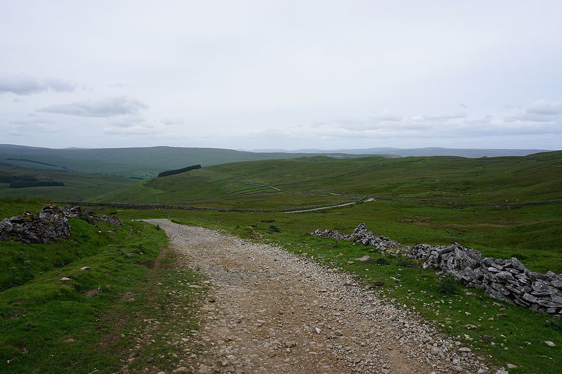
On the byway of High Lane down into Cragdale and to Stalling Busk..
Looking across Cragdale to Billinside Moor
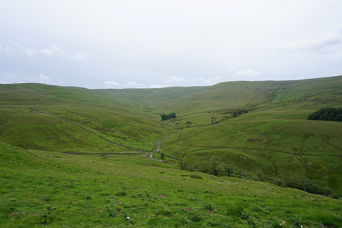
Cragdale and Cragdale Moor
The moorland on the other side of Wensleydale comes into view as I near Stalling Busk
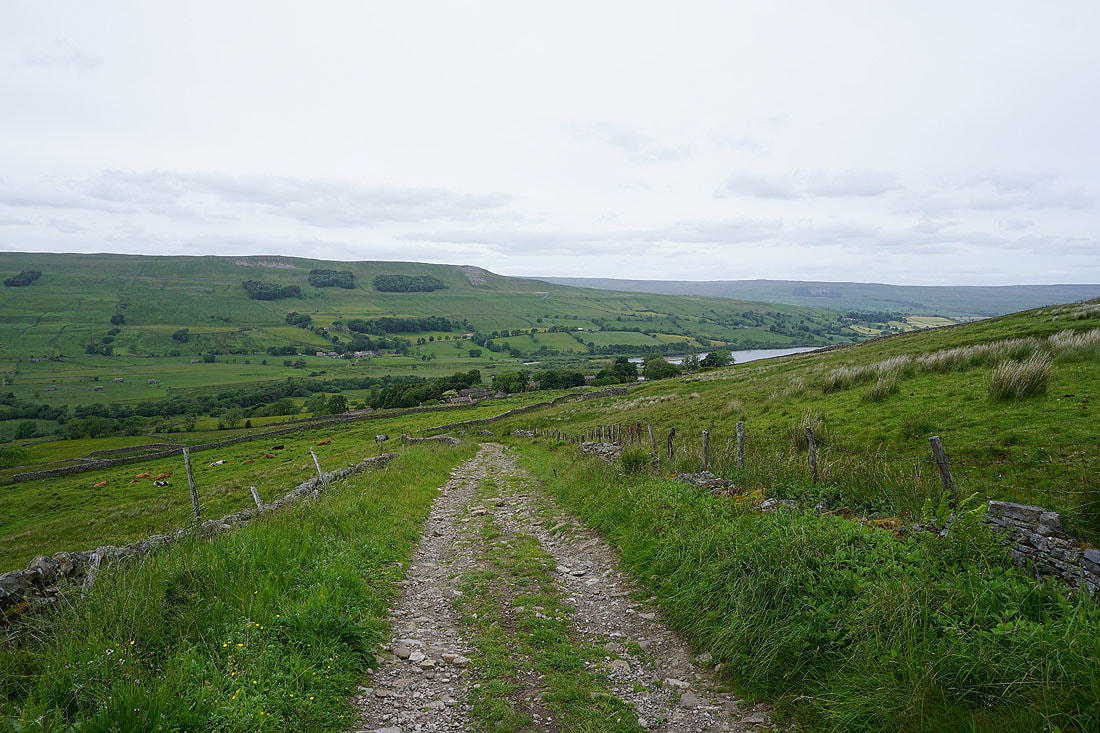
On the track of Bob Lane down into Stalling Busk with views of Marsett and Raydale..
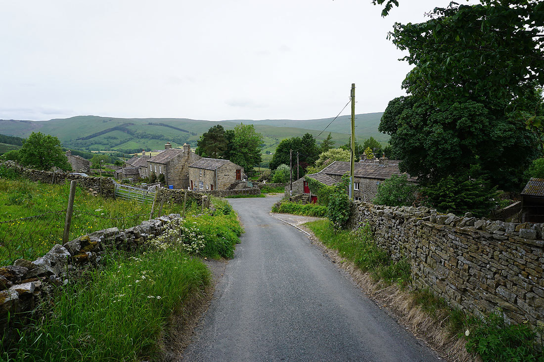
In the hamlet of Stalling Busk
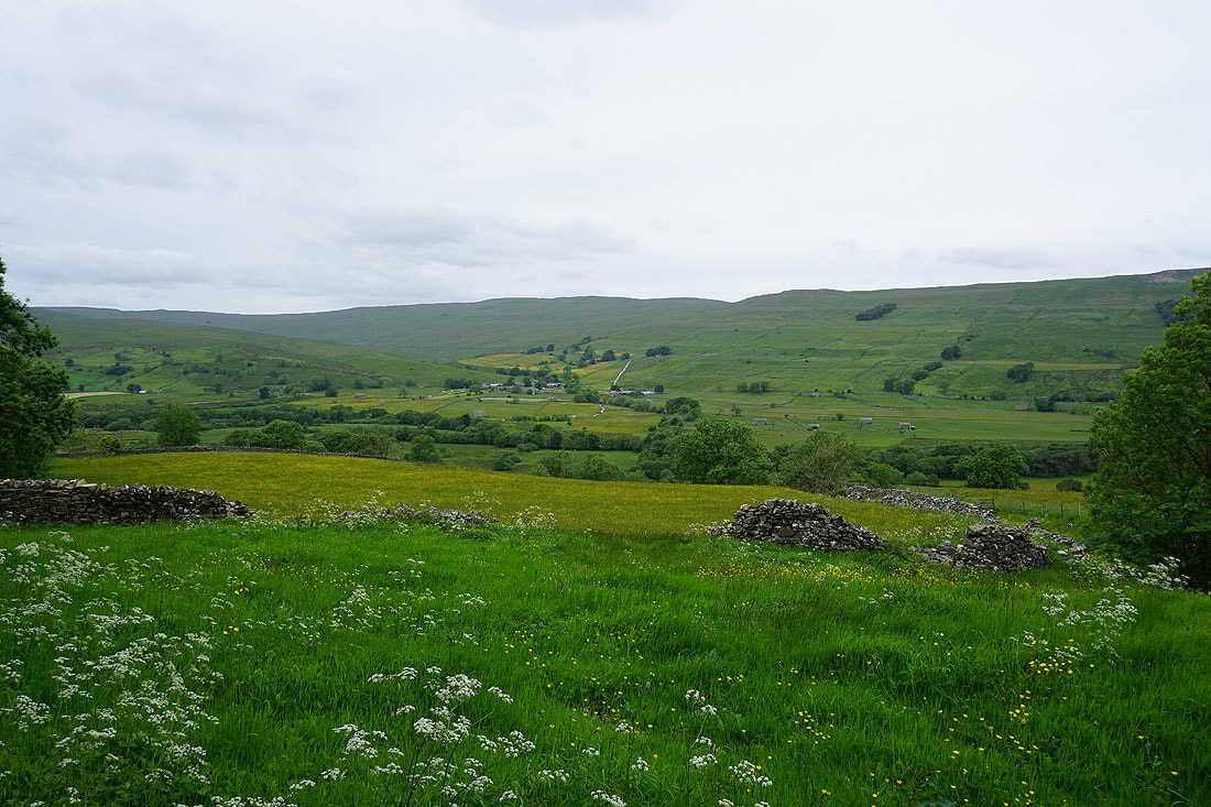
Looking across the hay meadows of Raydale to Marsett
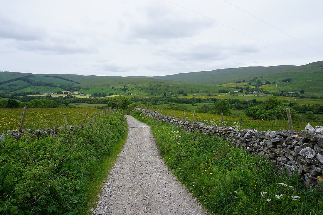
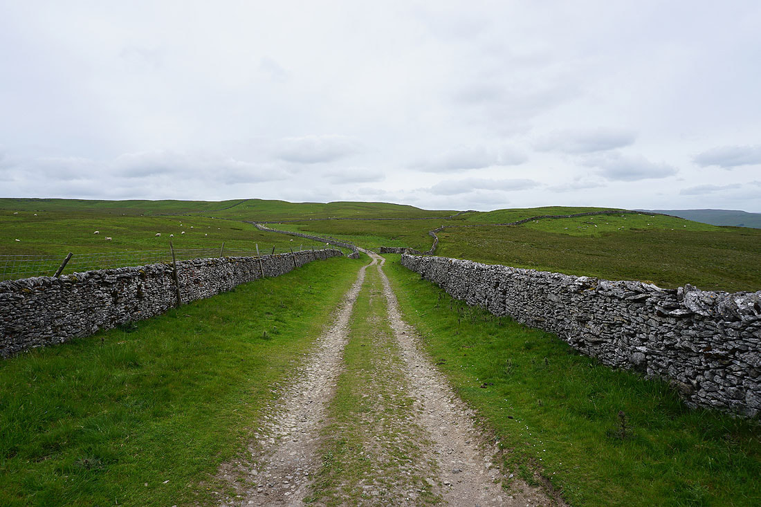
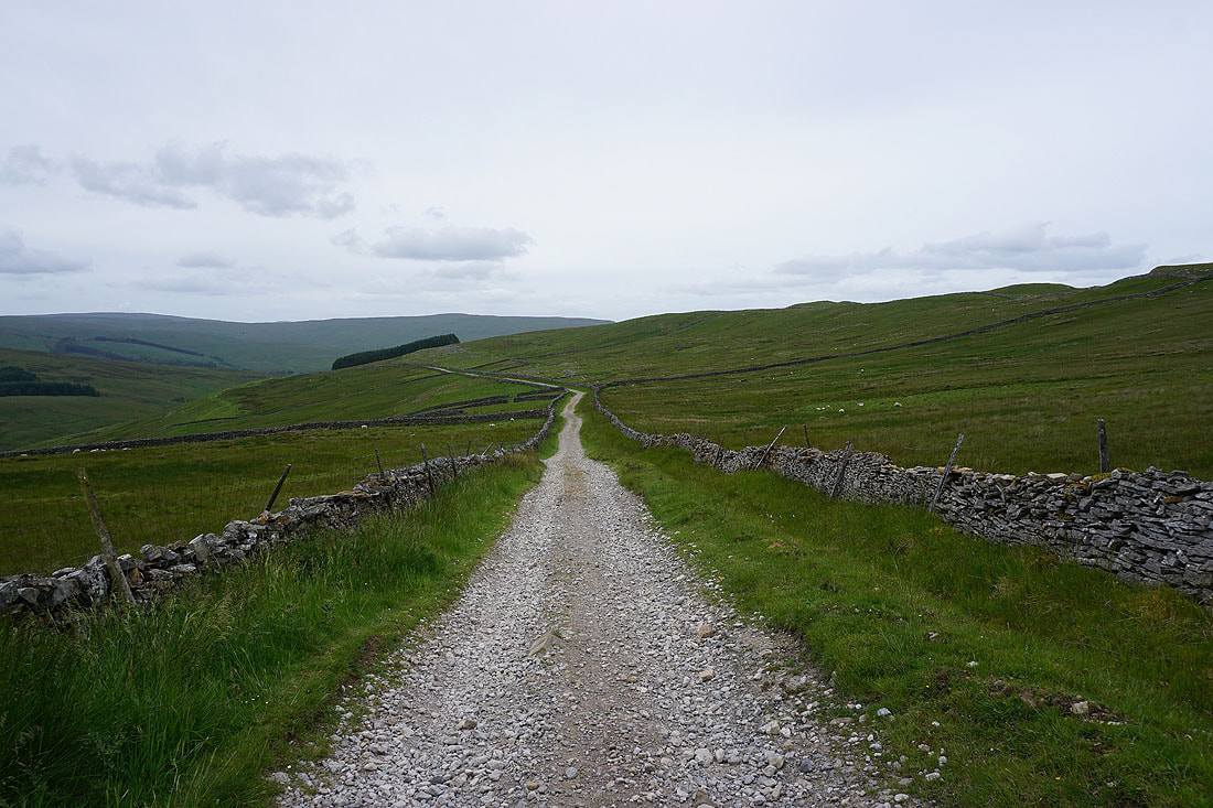
On the track of Busk Lane from Stalling Busk to Marsett
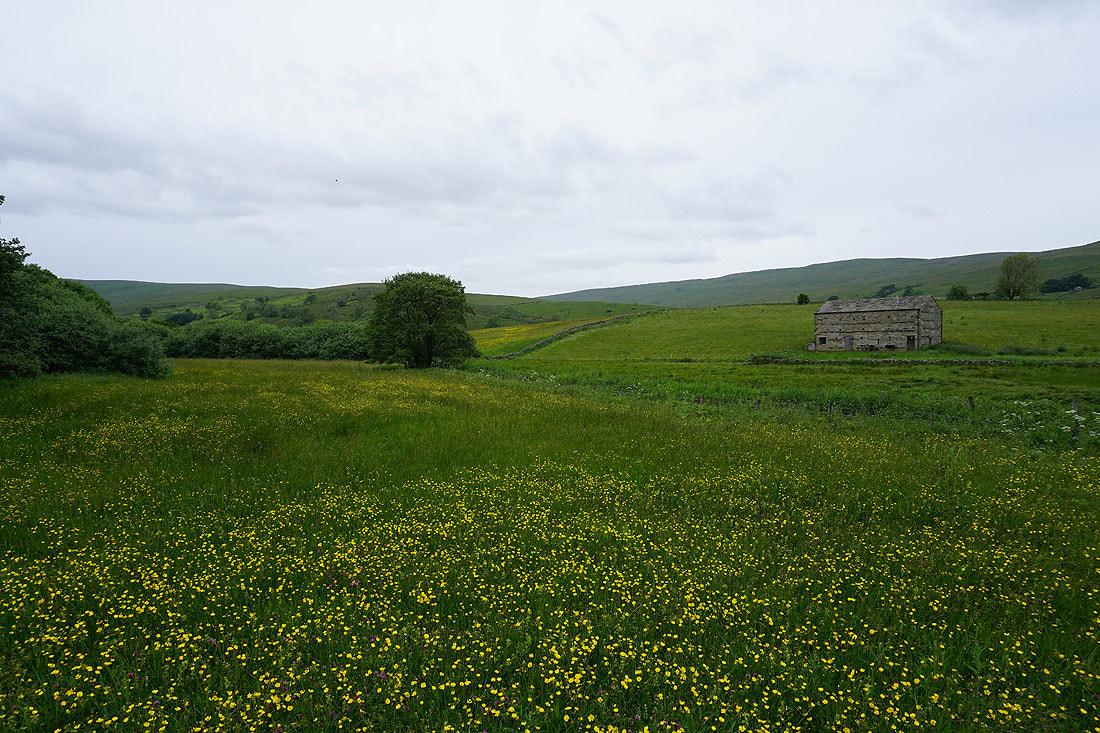
Wildflower meadows in Raydale
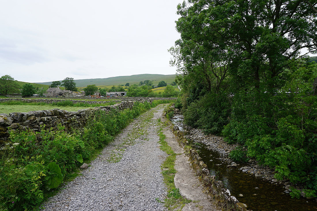
Approaching Marsett on the track by Marsett Beck
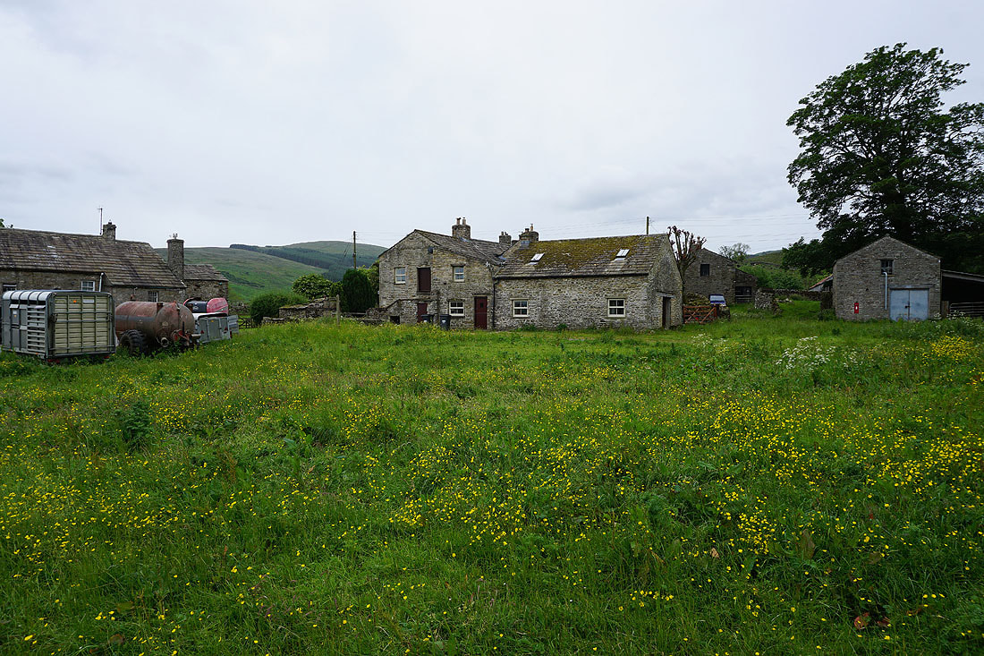
In the hamlet of Marsett
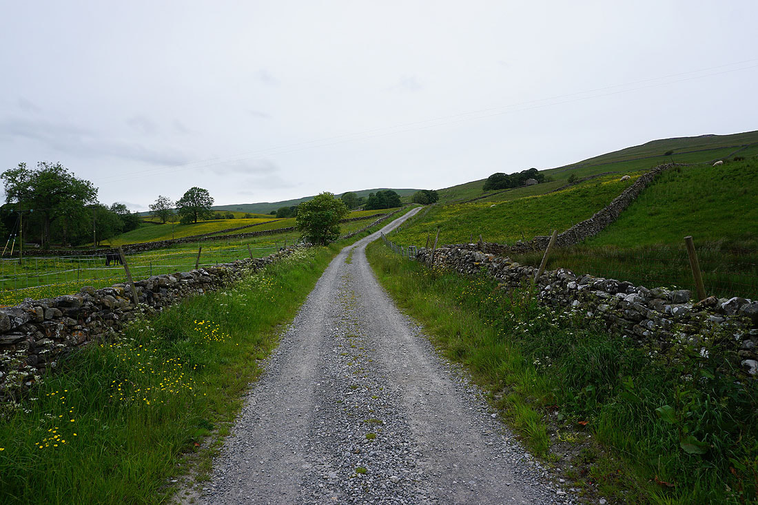
Leaving Marsett on the path up to Common Allotments
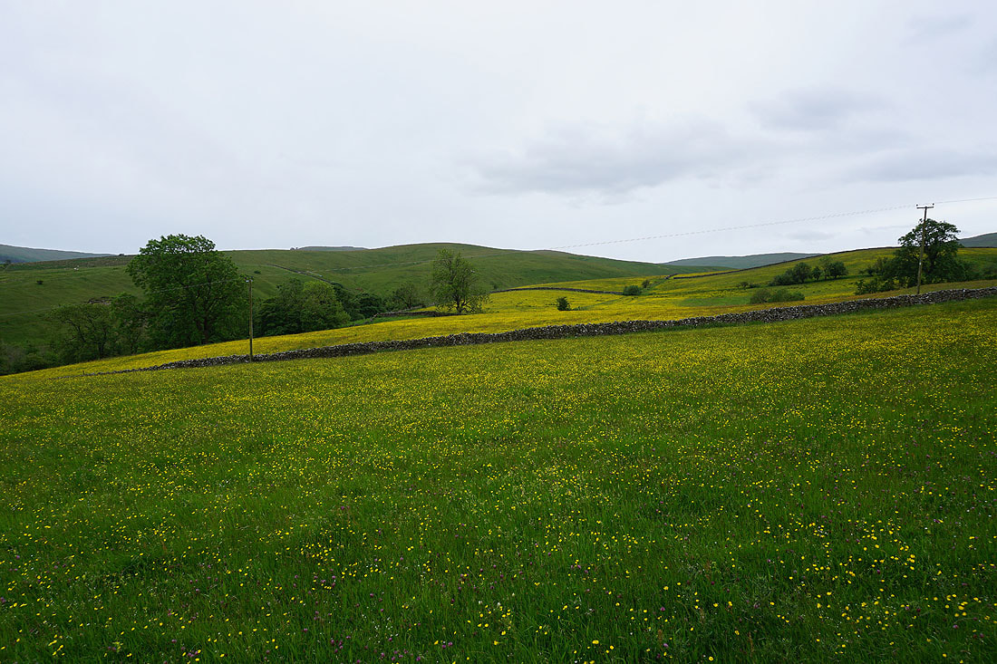
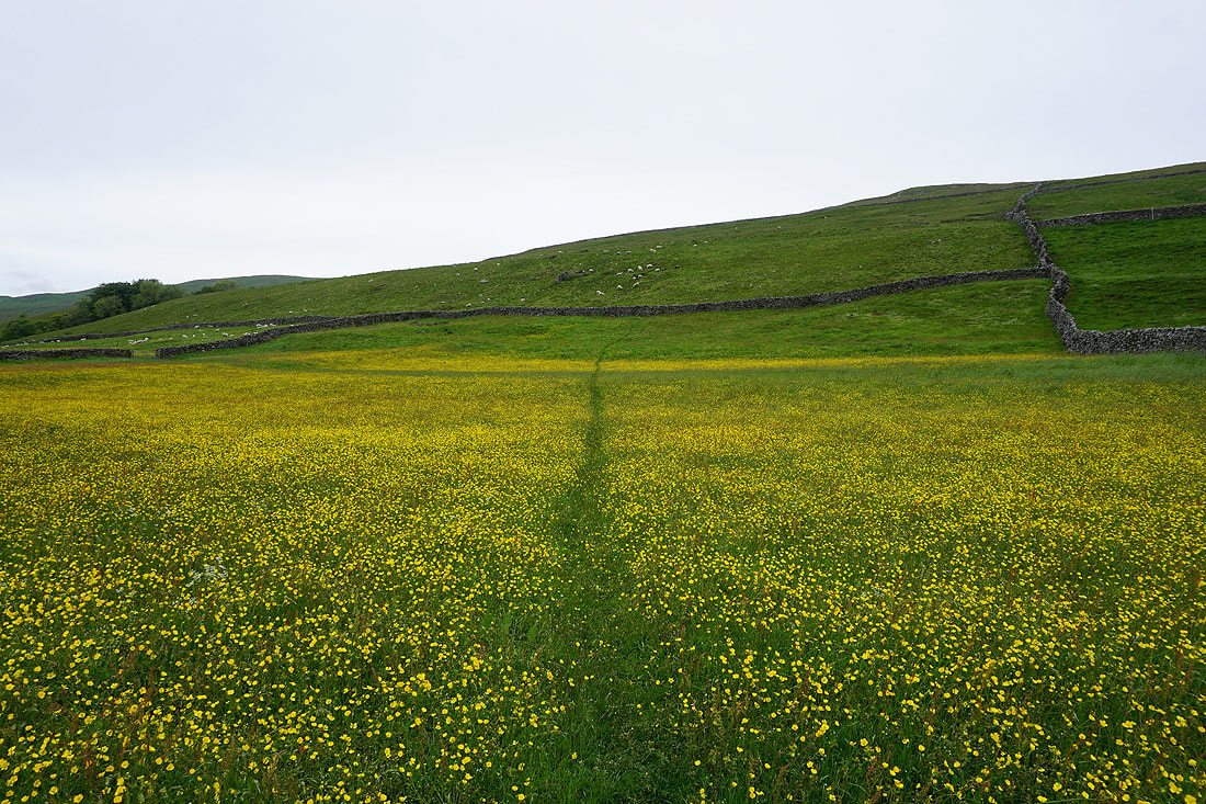
There's no shortage of buttercup filled fields around here
Looking back to Marsett and Raydale
So bright, even with no sunshine
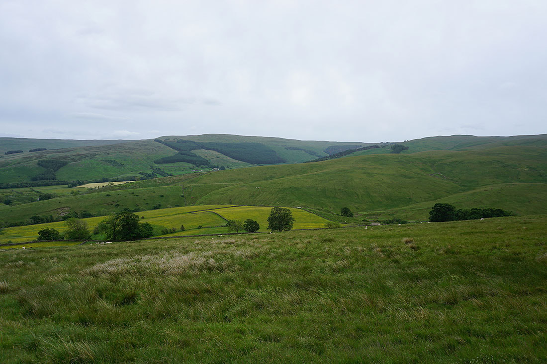
Looking across Bardale to Billinside Moor, Raydale and Woldside
A last look back down to Raydale and all those buttercup filled fields
Heading east on the bridleway across Common Allotments to Crag..
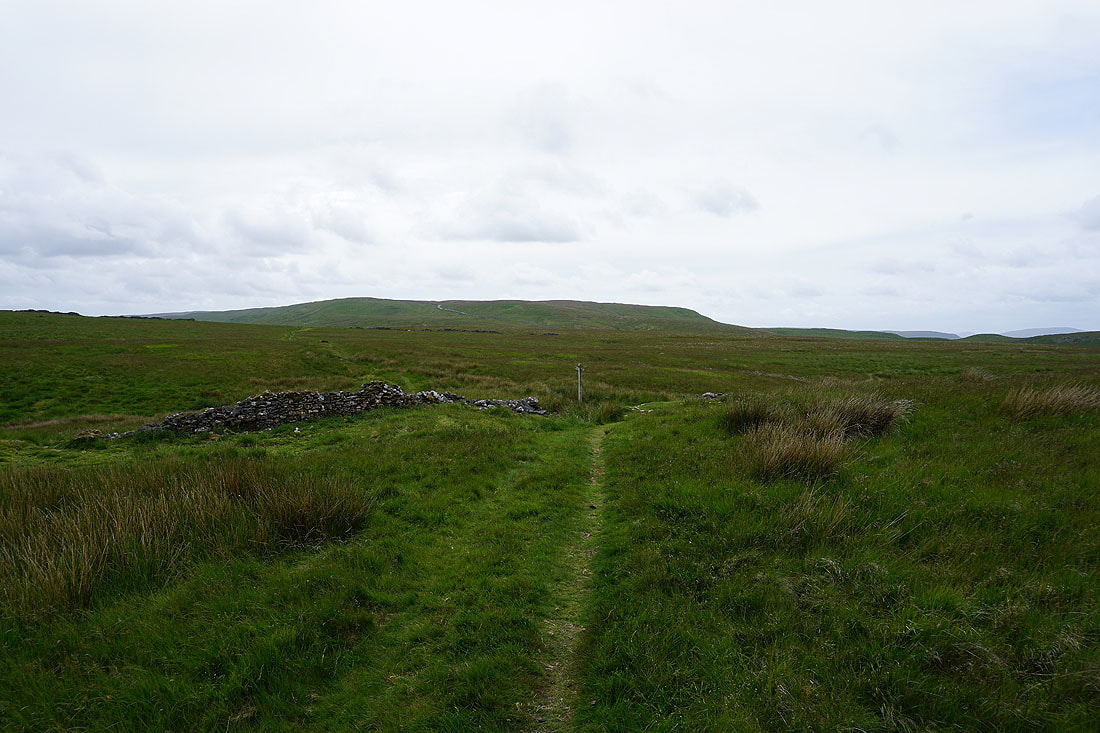
Looking back across Common Allotments to Wether Fell
Stalling Busk, Raydale and Marsett as the bridleway reaches the southern side of the moor
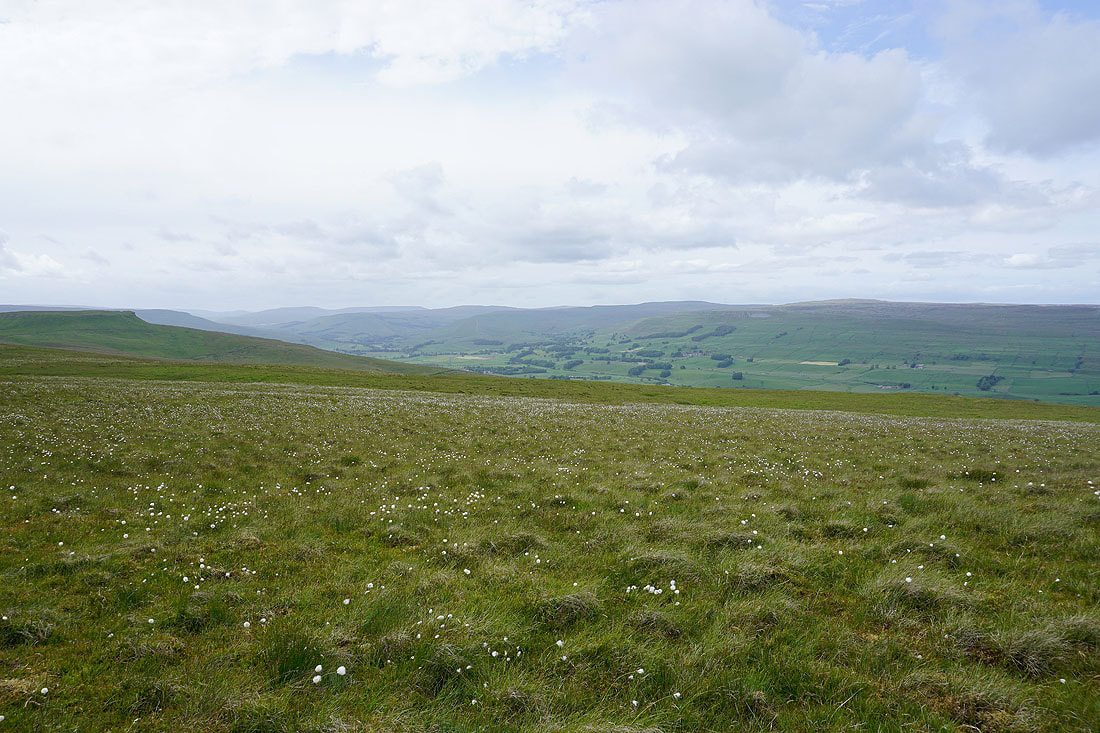
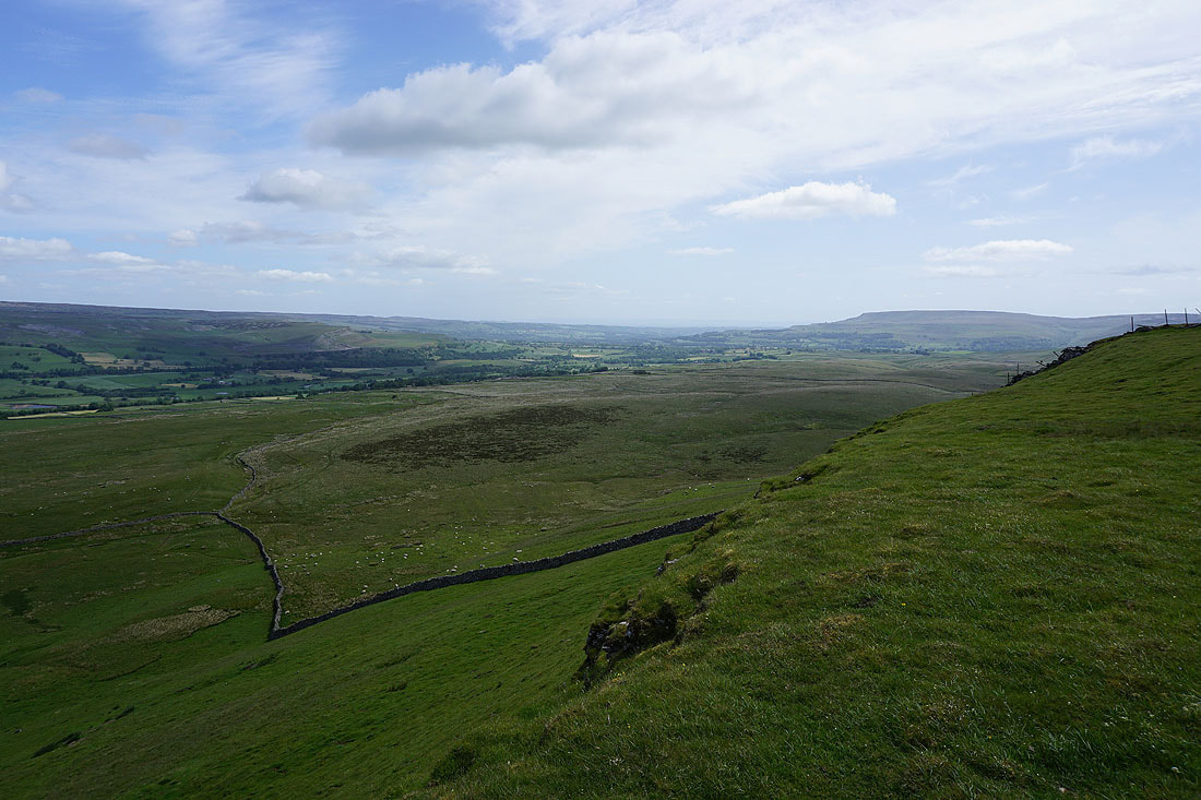
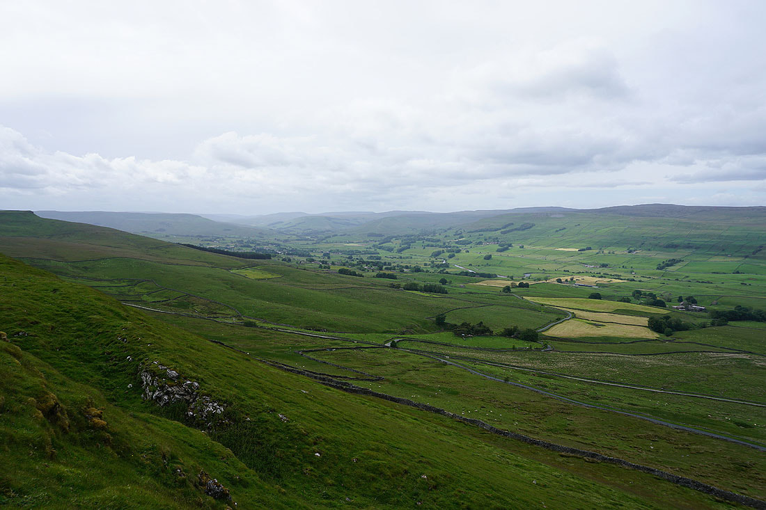
As I approach the northern end of Crag the view to the west to the fells around the head of Wensleydale and beyond opens up. On the left is nearby Yorburgh, then in the distance Swarth Fell, Wild Boar Fell and Lunds Fell; with Great Shunner Fell and Lovely Seat on the right on the other side of Wensleydale.
The crags above Raydale give me a great view across the dale to Addlebrough and of Semer Water. These brighter skies have arrived at just the right time..
Looking south across Raydale to the hamlets of Stalling Busk and Marsett
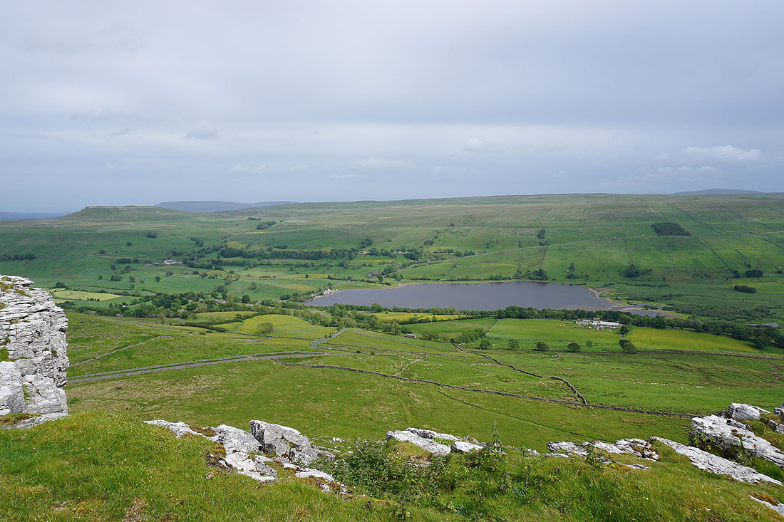
Finally at the northern end of Crag, and it's worth the effort of leaving the bridleway down to Crag Side Road for this view of the length of Wensleydale. Widdale Fell in the distance on the left, then Swarth Fell, Wild Boar Fell and Lunds Fell, with Great Shunner Fell and Lovely Seat on the right.
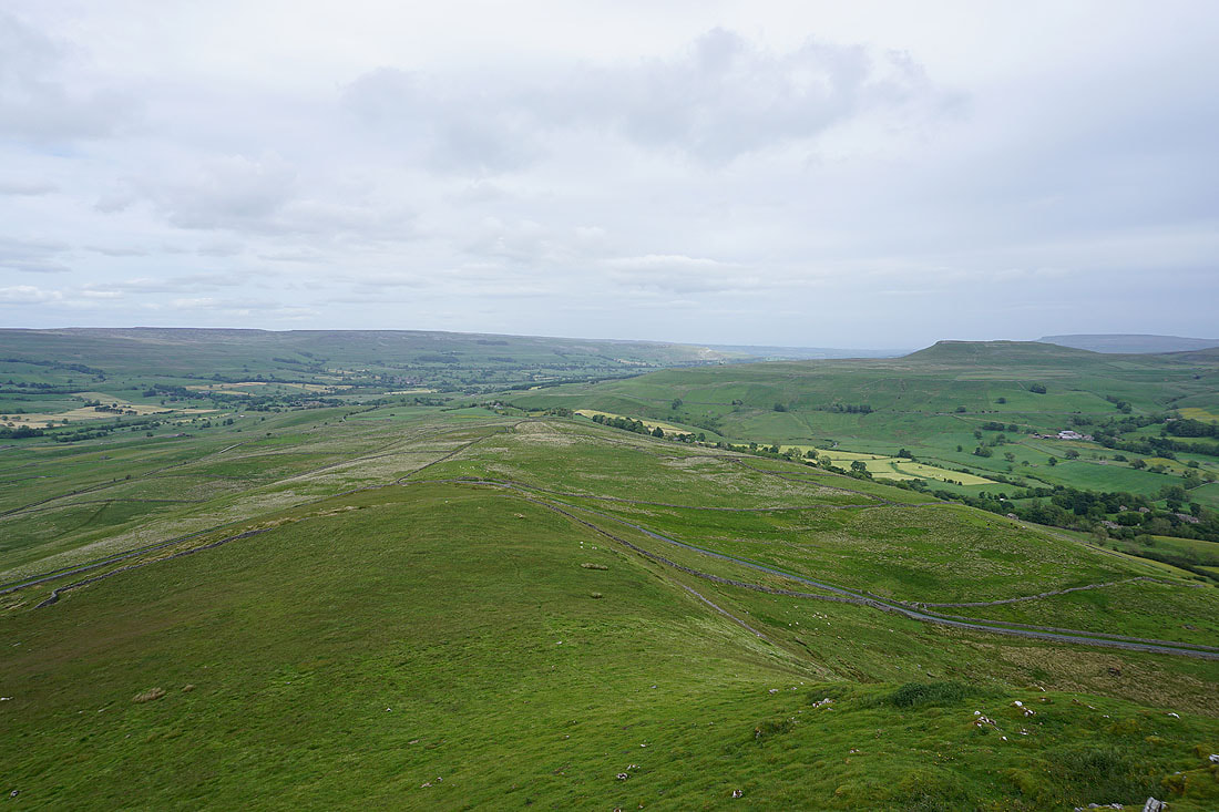
and looking down Wensleydale to Askrigg, Ellerkin Scar and Ivy Scar, with Addlebrough on the right
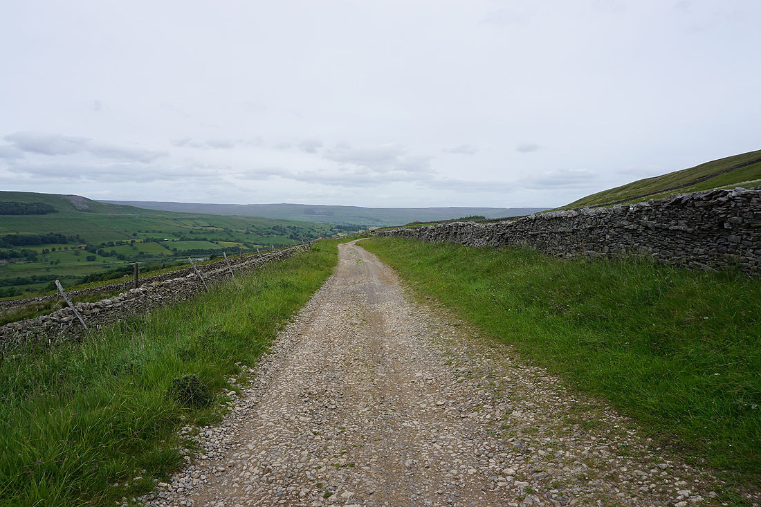
On the bridleway down to Crag Side Road
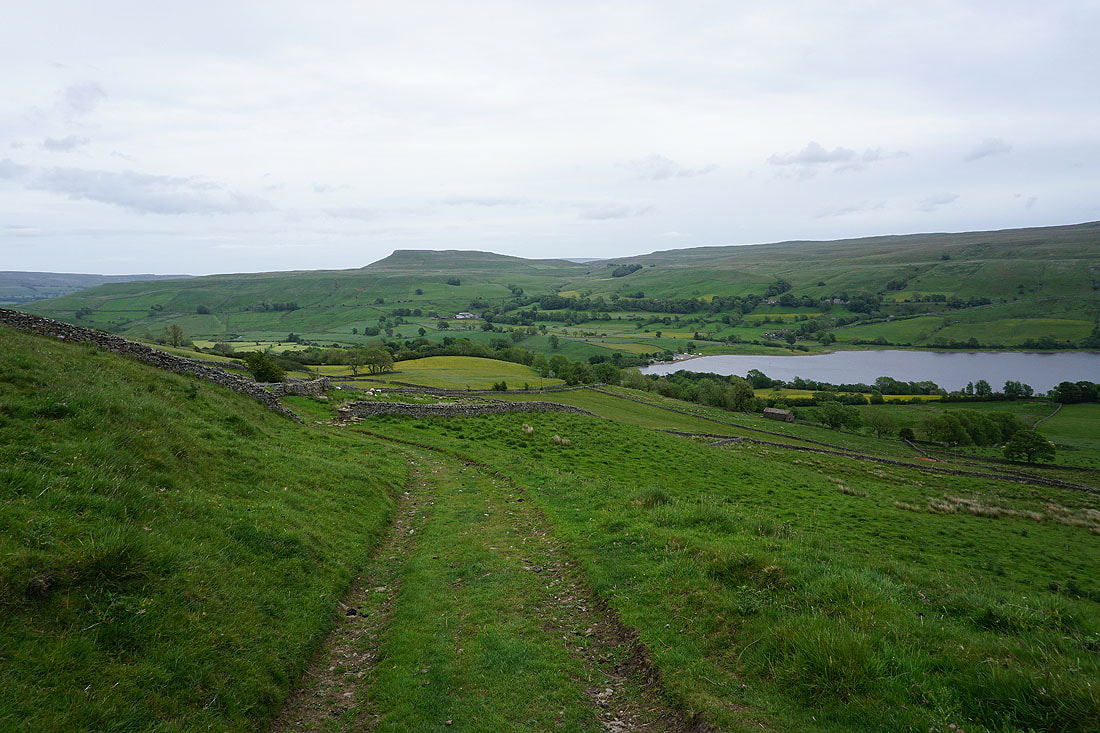
Walking down Crag Side Road to Semer Water Bridge..
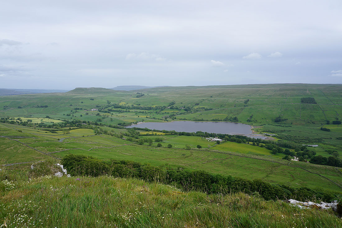
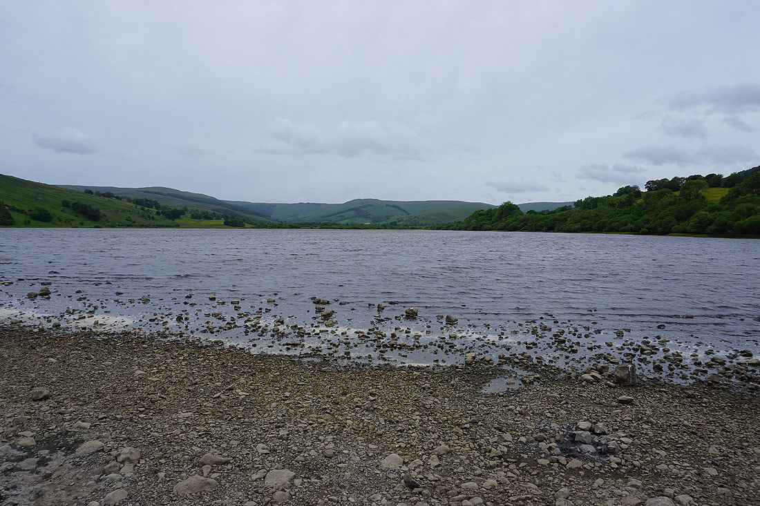
..and I get a view of the whole of Semer Water
Back at Semer Water and it looks far less summery than it did this morning