18th March 2012 - Whernside
Walk Details
Distance walked: 11.4 miles
Total ascent: 2259 ft
OS map used: OL2 - Yorkshire Dales, Southern & Western areas
Time taken: 7 hrs
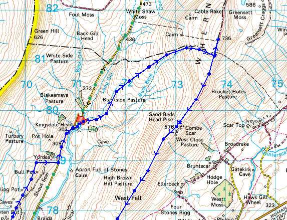
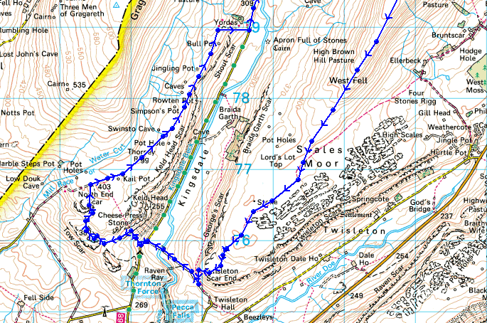
Route description: Kingsdale Head-Cluntering Gill Bridge-Whernside-Combe Scar-West Fell-Ewes Top-Twisleton Scar End-Kingsdale-Tow Scar-Low Plain-Turbary Road-Kingsdale Head
This walk was started from the small lay-by at Kingsdale Head. I walked a short distance up the road to Cluntering Gill Bridge before I then climbed upto the summit of Whernside across the open fell. The long south-west ridge of Whernside was followed downhill all the way to Twisleton Scar End. I then crossed Kingsdale to make my way upto the trig point on Tow Scar on the other side of the valley before crossing Low Plain to join the bridleway of Turbary Road which heads north back to Kingsdale Head.
I'll have to go back and do a more detailed exploration of the area around Tow Scar and the Turbary Road. There are a lot of pot holes not far from the bridleway and on the way up to Tow Scar there is a split limestone boulder called "Cheese Press Stone". I also want to visit Yordas Cave which is next to the road through Kingsdale. There just wasn't the time to check them out today.
Total ascent: 2259 ft
OS map used: OL2 - Yorkshire Dales, Southern & Western areas
Time taken: 7 hrs
Route description: Kingsdale Head-Cluntering Gill Bridge-Whernside-Combe Scar-West Fell-Ewes Top-Twisleton Scar End-Kingsdale-Tow Scar-Low Plain-Turbary Road-Kingsdale Head
This walk was started from the small lay-by at Kingsdale Head. I walked a short distance up the road to Cluntering Gill Bridge before I then climbed upto the summit of Whernside across the open fell. The long south-west ridge of Whernside was followed downhill all the way to Twisleton Scar End. I then crossed Kingsdale to make my way upto the trig point on Tow Scar on the other side of the valley before crossing Low Plain to join the bridleway of Turbary Road which heads north back to Kingsdale Head.
I'll have to go back and do a more detailed exploration of the area around Tow Scar and the Turbary Road. There are a lot of pot holes not far from the bridleway and on the way up to Tow Scar there is a split limestone boulder called "Cheese Press Stone". I also want to visit Yordas Cave which is next to the road through Kingsdale. There just wasn't the time to check them out today.
Route map
© Crown copyright. All rights reserved. License number PU 100034184.
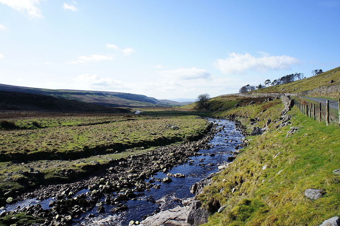
Kingsdale Beck from the roadside at Kingsdale Head
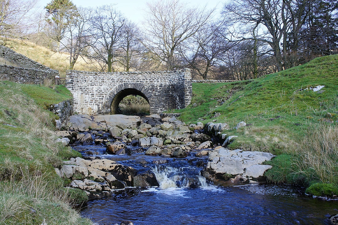
Cluntering Gill Bridge
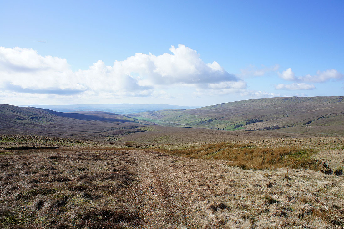
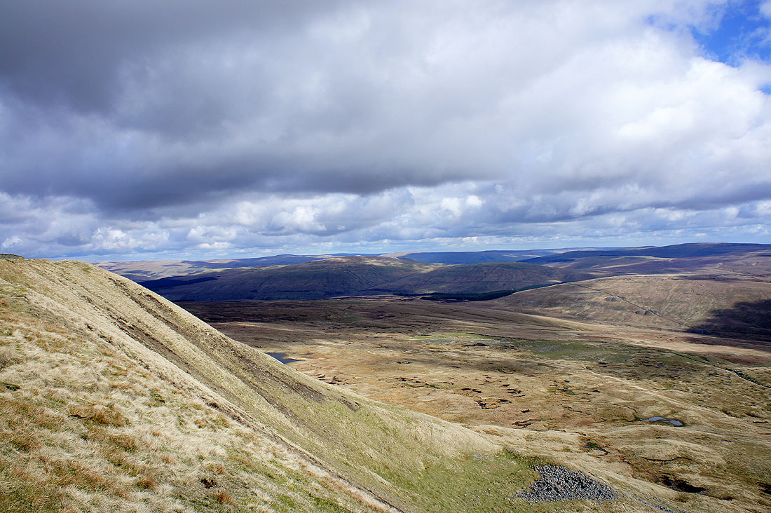
Kingsdale below
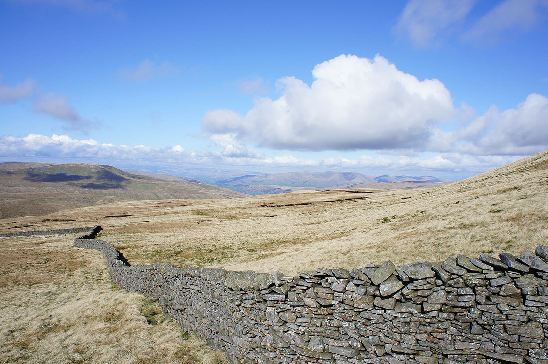
The Howgills through a gap in the hills. I'm now going to follow the wall up to the summit ridge.
On the summit of Whernside. Great Coum is across the valley with the Howgills on the right.
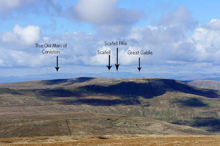
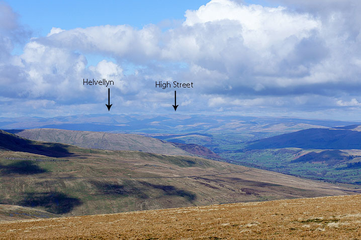
Zooming in on the Lake District fells..
Gragareth and Green Hill
Views from the eastern side of Whernside..
Penyghent and Ribblehead on the right of the picture
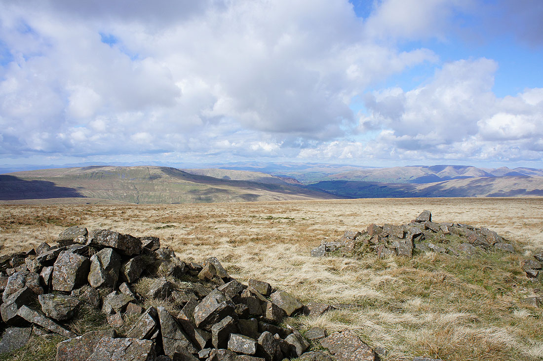
I walked a short distance along the summit wall to the north to get a better view of Great Coum and the Howgills
The Howgills and Baugh Fell
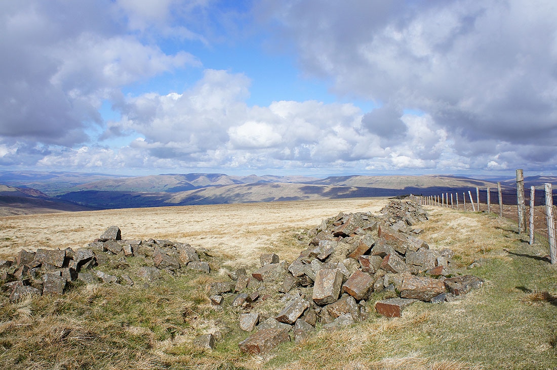
Looking north towards the fells around Mallerstang
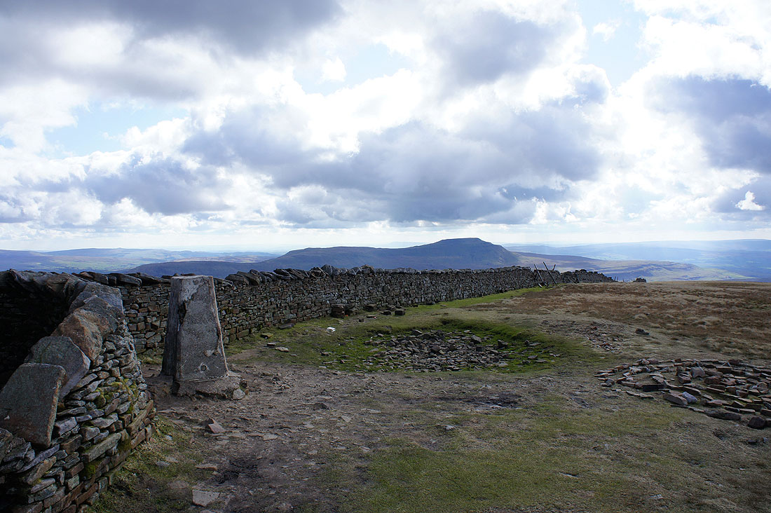
Ingleborough from Whernside
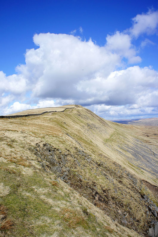
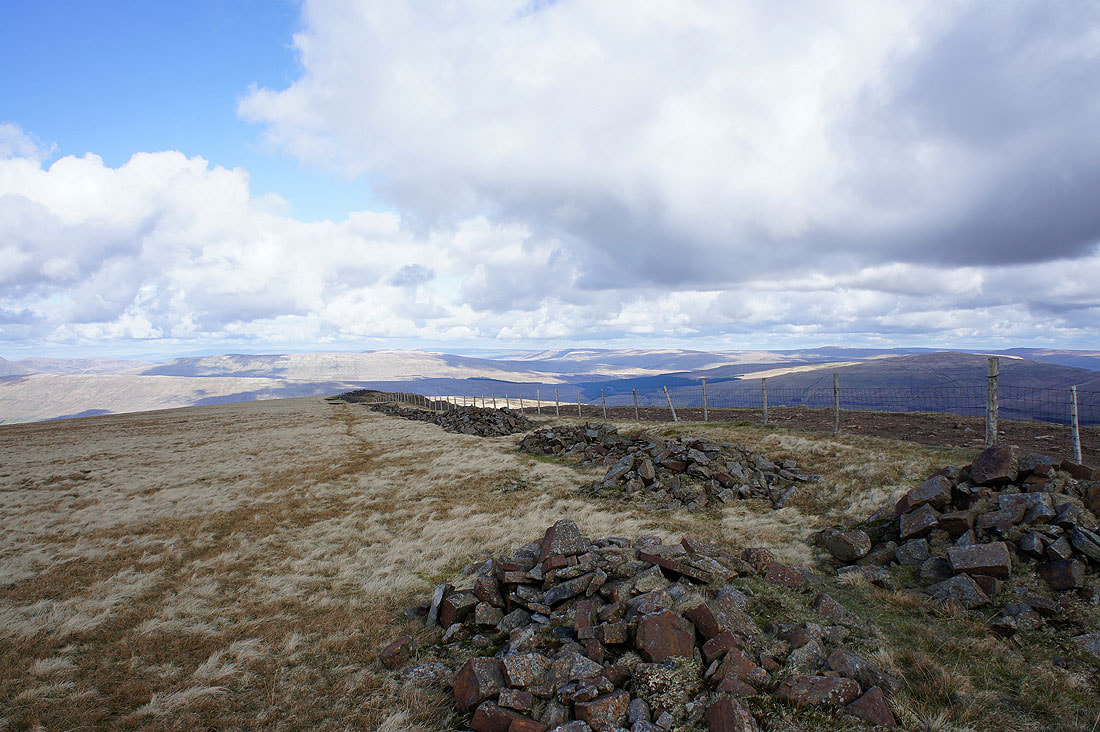
Looking back to the summit as I head down the ridge
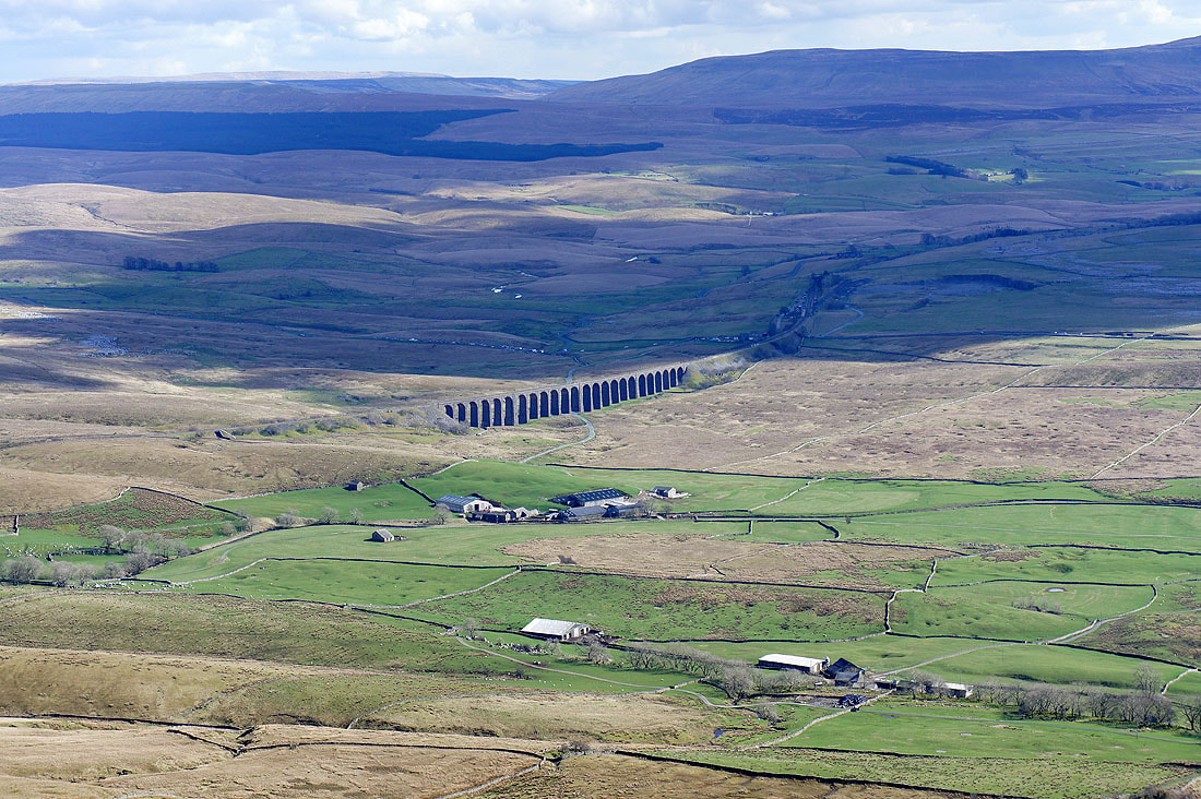
The Ribblehead viaduct
The long way down
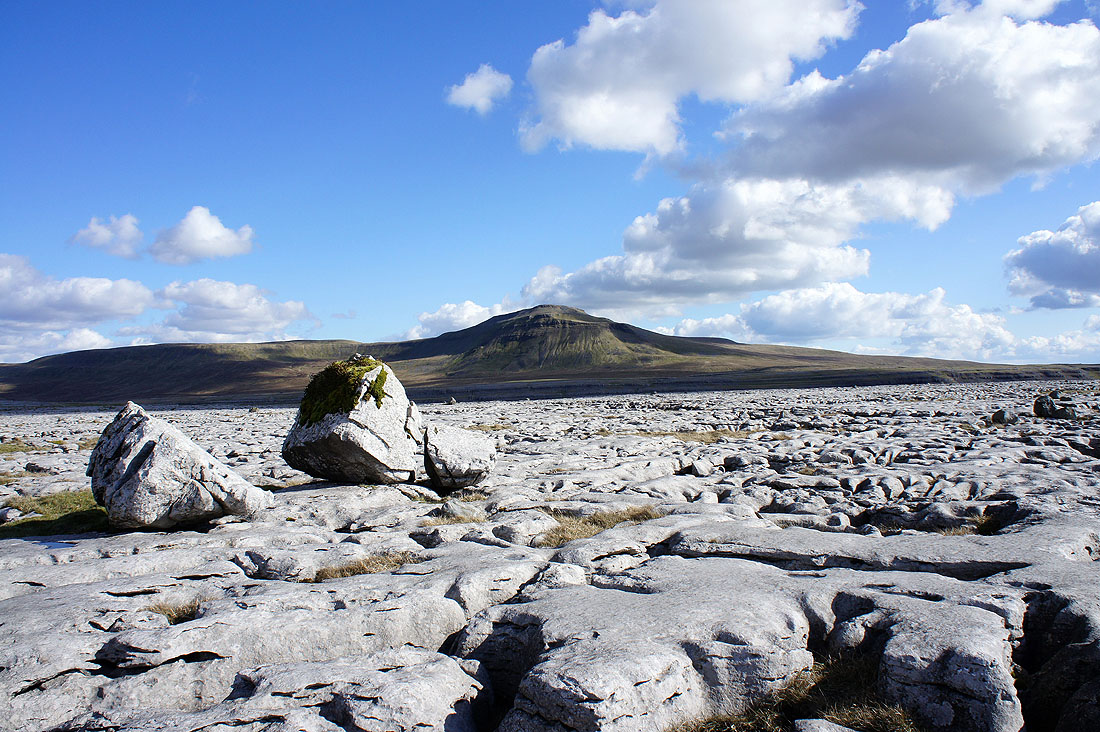
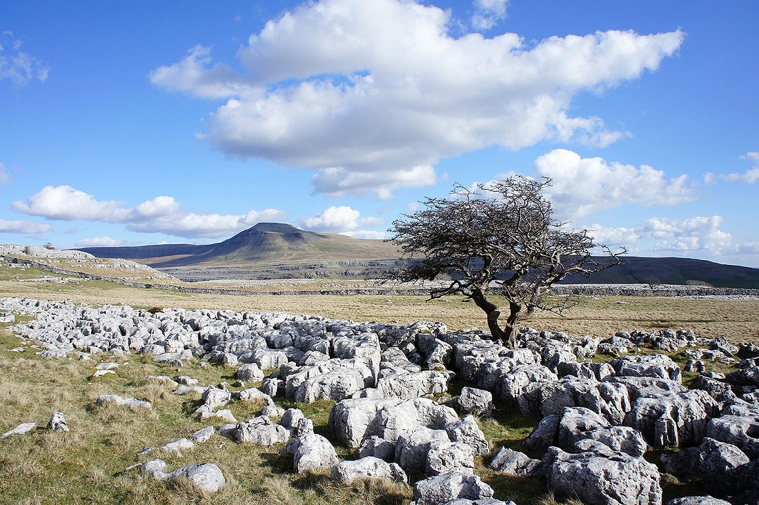
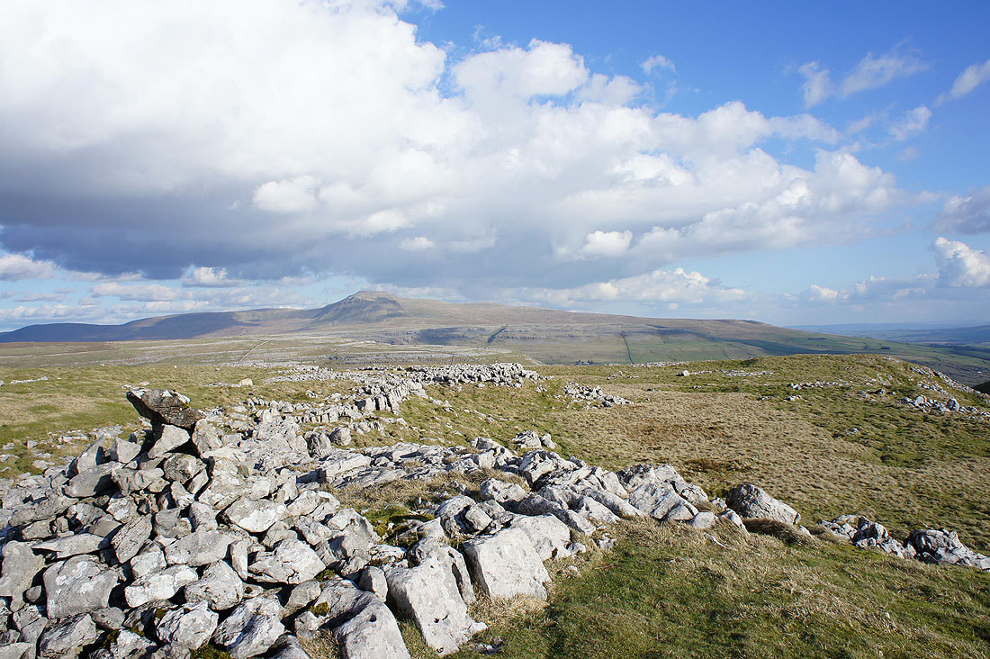
Ingleborough from the limestone pavement of Twisleton
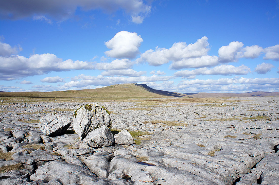
and Whernside
Ingleborough from Ewes Top
and Whernside
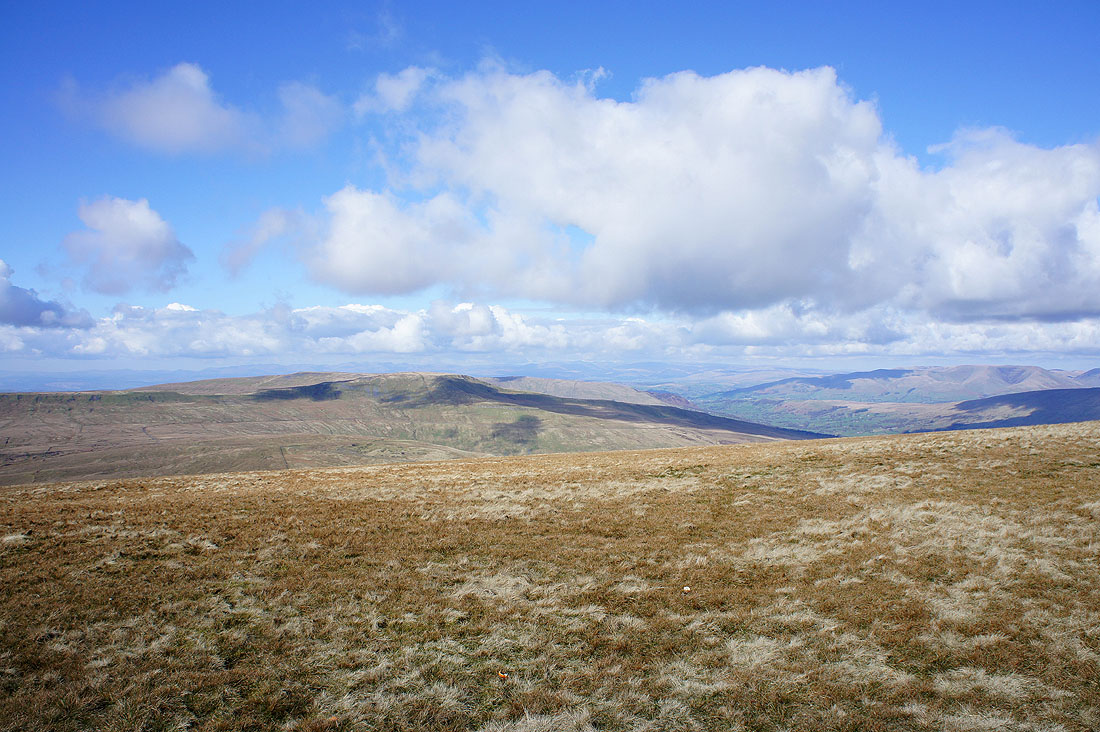
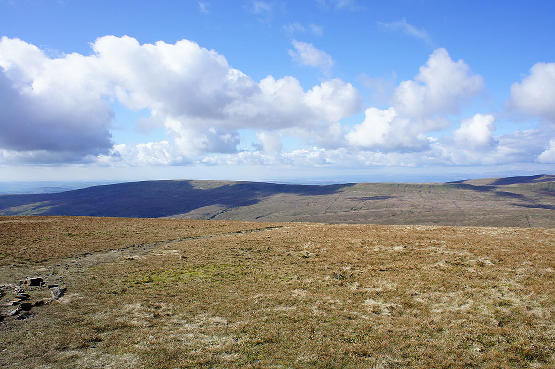
Pendle Hill and the Forest of Bowland
Tow Scar in shadow on the other side of Kingsdale
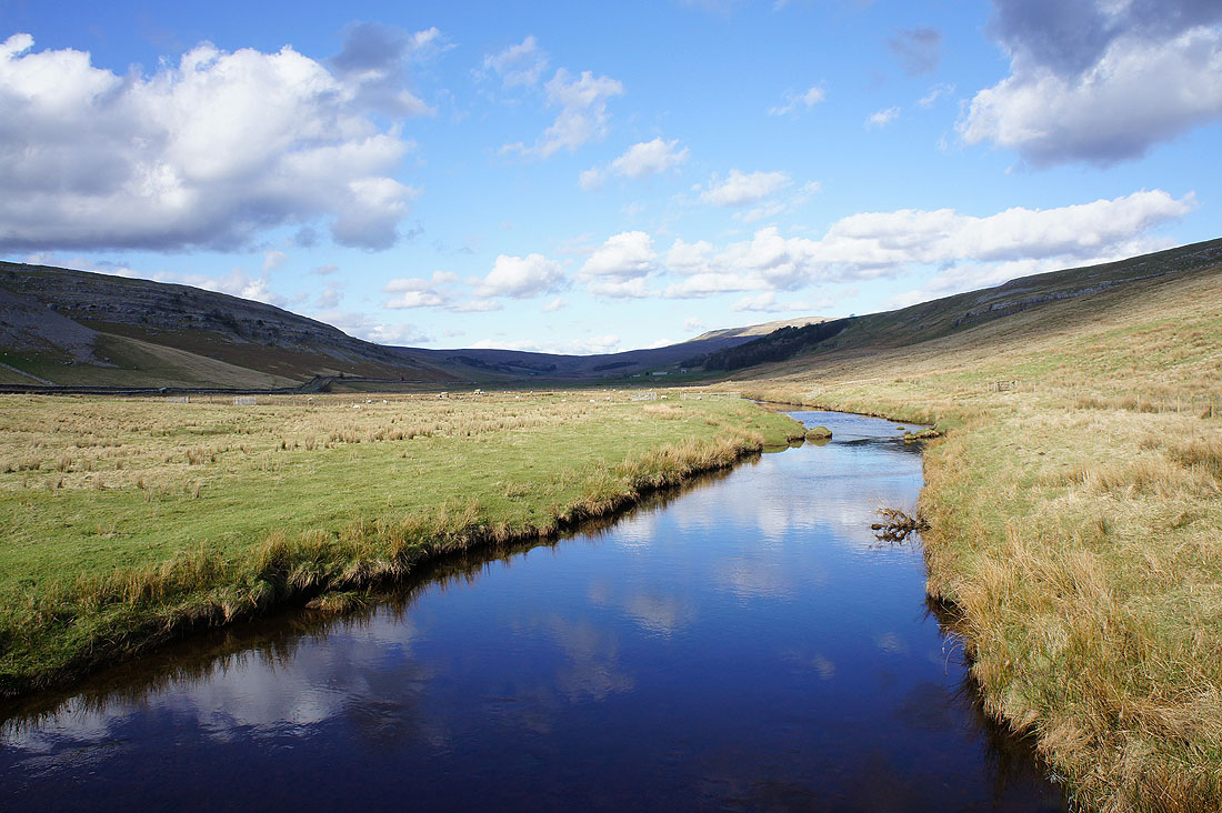
Crossing Kingsdale Beck
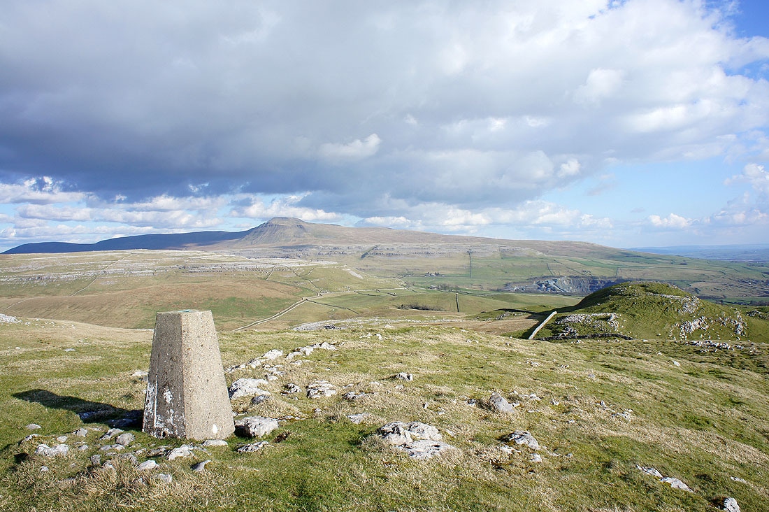
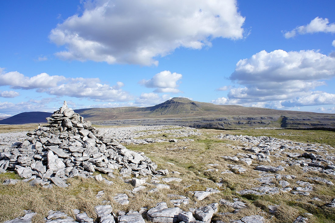
Ingleborough from the trig point on Tow Scar
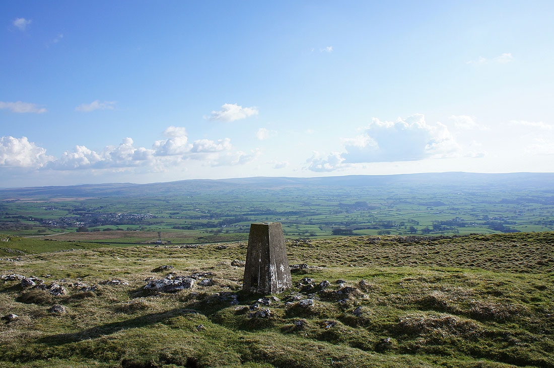
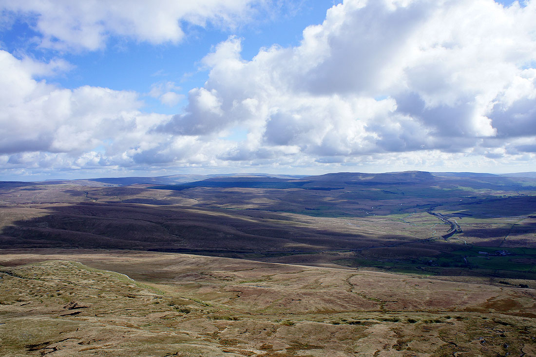
The Forest of Bowland in the distance
and Morecambe Bay
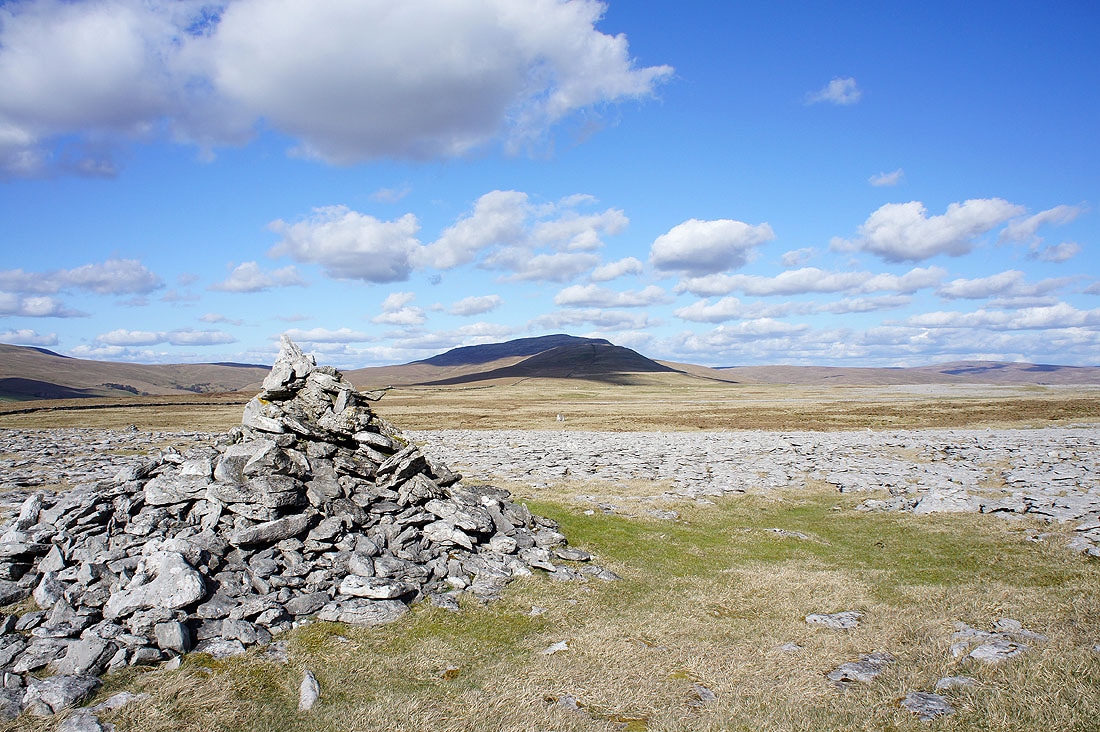
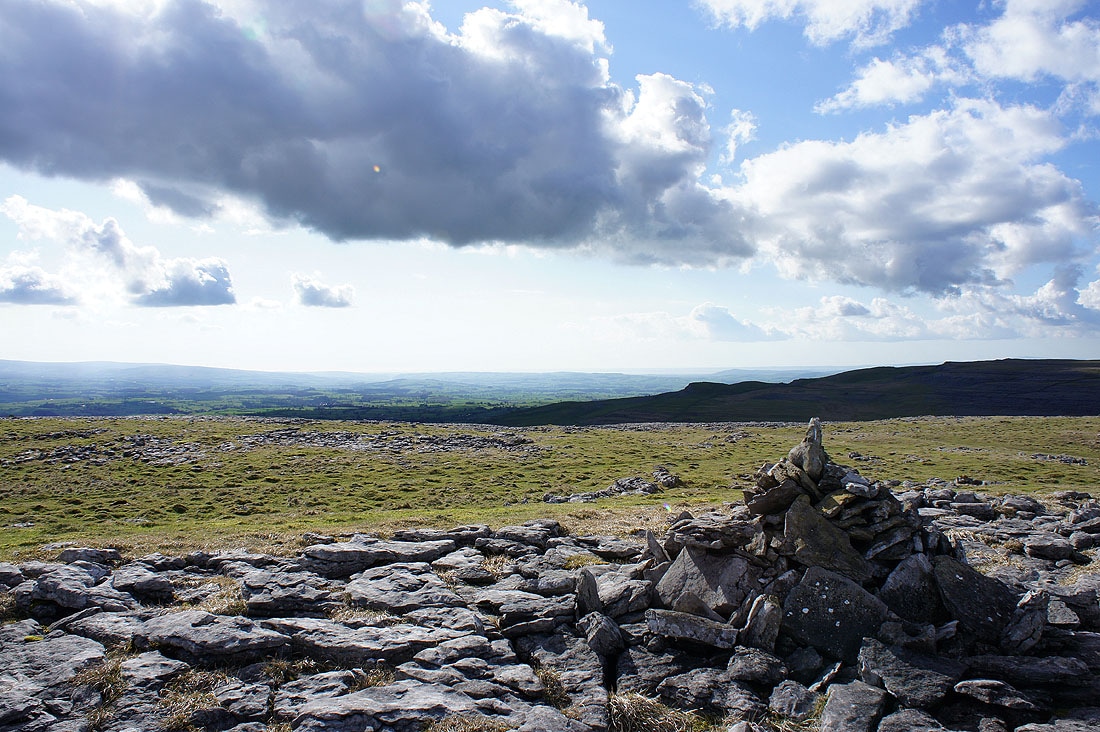
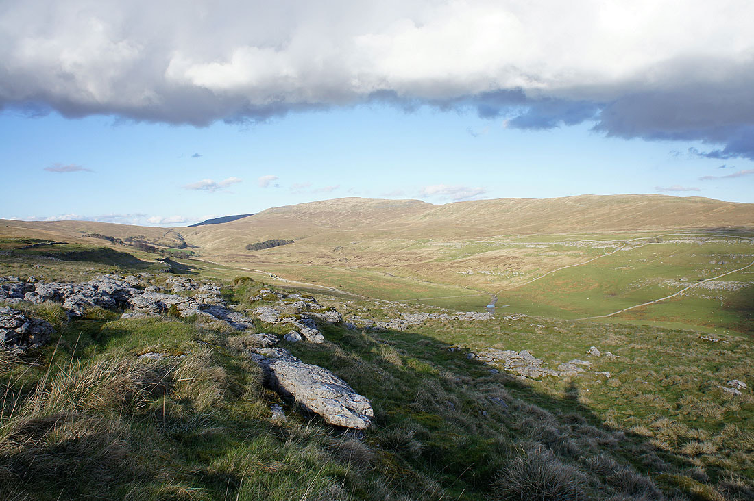
Ingleborough from a cairn on the edge of Low Plain
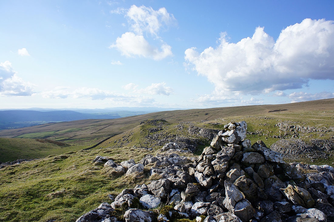
North End Scar behind the cairn. The Lakeland fells can be made out on the distant horizon.
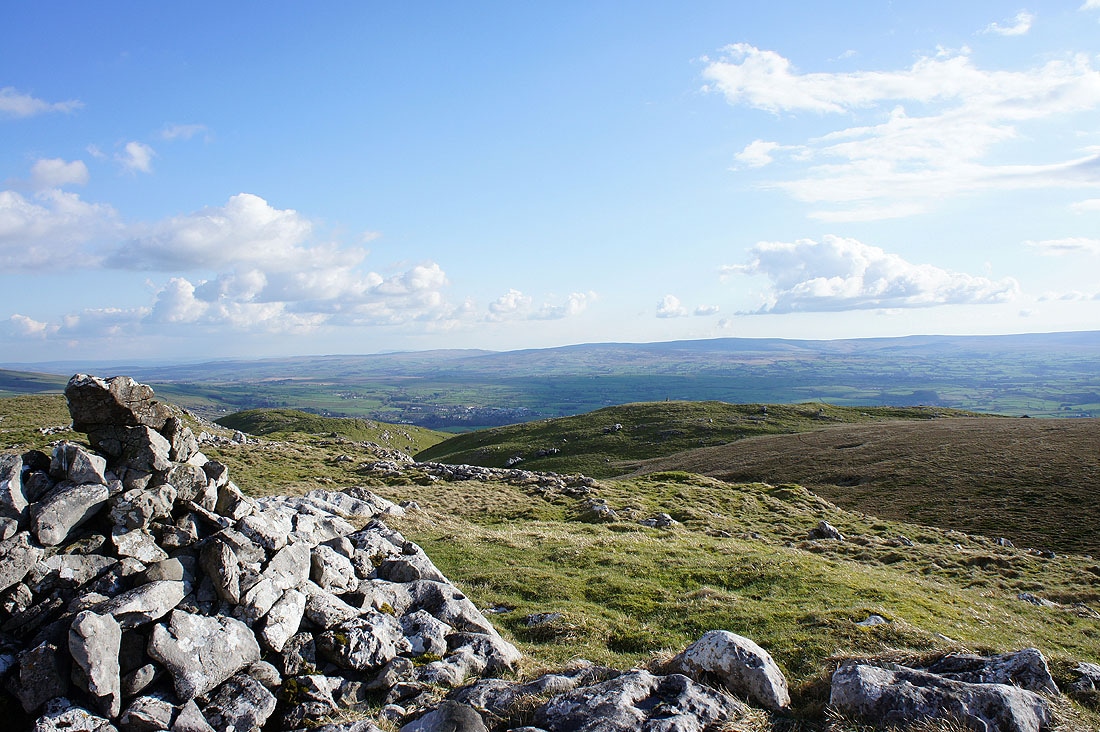
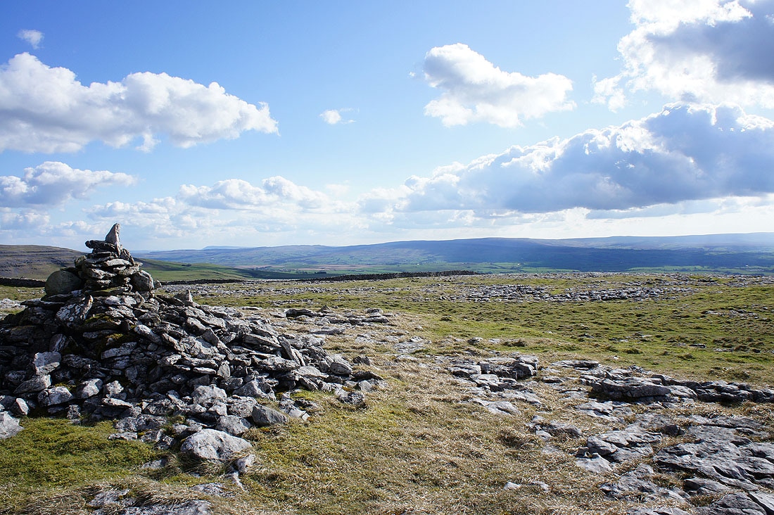
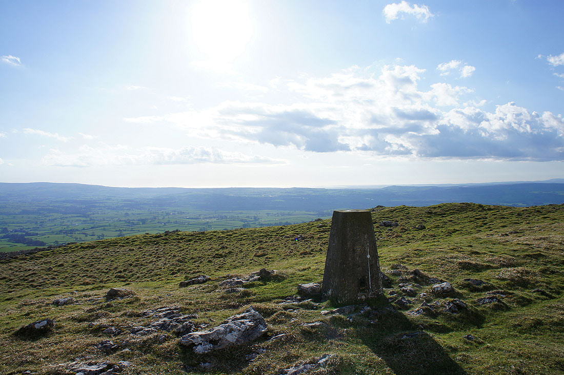
Tow Scar just below with the Forest of Bowland in the distance
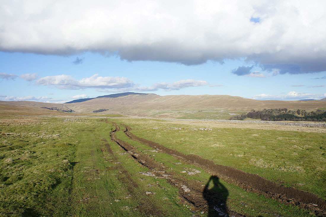
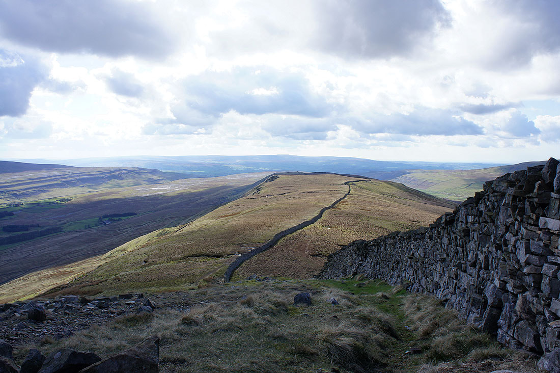
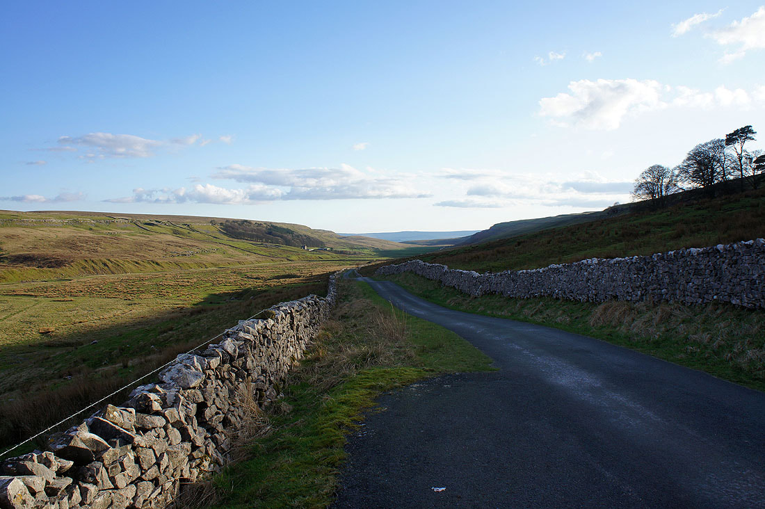
On Turbary Road
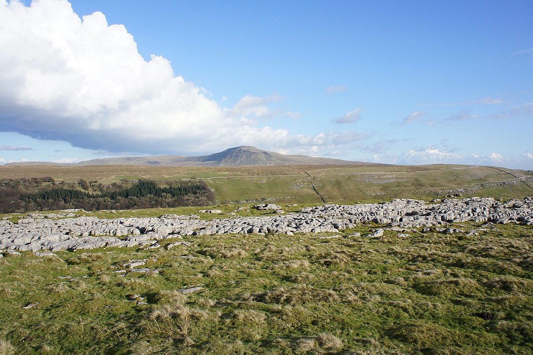
Ingleborough from Turbary Road
Whernside and Kingsdale
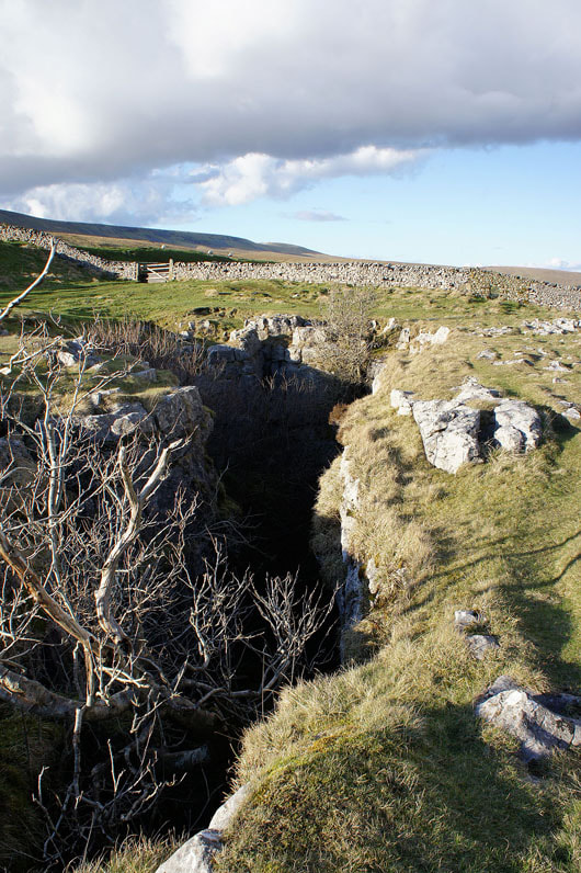
Rowten Pot. This hole in the ground can't be missed as it's right next to the path and the sound of water running underground can be heard.
On the road to Kingsdale Head and a last look back down the valley