18th November 2018 - Grassington Moor
Walk Details
Distance walked: 12.2 miles
Total ascent: 1638 ft
OS map used: OL2 - Yorkshire Dales, Southern & Western areas
Time taken: 6.5 hrs
Route description: Grassington-Sedber Lane-Linton Falls-Dales Way-Mill Lane-Hebden-High Green-Scale Haw Force-Scar Top House-Mossy Moor-Hebden Beck-Duke's New Road-Grassington Moor-Black Edge-Bycliffe Road-Kelber-Bare House-Dales Way-Bank Lane-Chapel Street-Main Street-Grassington
I certainly made the most of the available daylight hours with this walk, as I returned to Grassington with the sun having already set. I've done a few walks across the moorland to the north and east of Grassington during recent years but this route still used plenty of paths and tracks that I've not walked along before. The highlights of the day were the waterfall of Scale Haw Force and exploring the disused mines on Grassington Moor before using the tracks up there to cross the moorland. It was great to enjoy the wide open spaces and the colours of the moors in the autumn sunshine. Those tracks meant that I could set a good pace, otherwise it definitely would have been dark by the time I got back to Grassington. Any low cloud that was around at the beginning of the day more or less cleared from where I was to leave sunny spells and a strong, cold easterly wind up on the moors.
From the National Park car park in Grassington I walked down Sedber Lane to Linton Falls, then followed the trail of the Dales Way east by the River Wharfe until I reached the suspension bridge that carries the trail across the river. From here I walked up Mill Lane into the village of Hebden, crossed the main road and walked up the lane of High Green towards Hole Bottom. A footpath on the right then took me down to Hebden Beck and the waterfall of Scale Haw Force. After a stop for photos I crossed Hebden Beck and climbed the hillside to Scar Top House. I then made my way north across Mossy Moor, down to Hebden Beck, up the track through the disused mine workings and onto the track of Duke's New Road, which I followed north to the disused mine workings on Grassington Moor. I left the mine workings by the track to the northwest to reach the moorland of Black Edge, where after a visit to the cairn up on Black Edge, I descended the track into Mossdale where I met the bridleway of Bycliffe Road. Here I turned left, followed the bridleway southwest then turned left again and took the path south across the moorland of Kelber towards Downs Pasture. Soon after the path became a track between walls I reached the footpath on the right back down to Grassington that passes Bare House and meets up with the Dales Way just north of the village. I finished with following the trail down into Grassington before heading back to the car park.
Route map
© Crown copyright. All rights reserved. License number PU 100034184.
Threshfield in the distance..
..as I follow the path down to Linton Falls
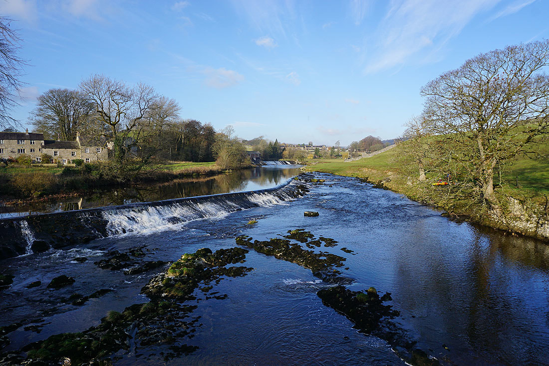
Linton Falls
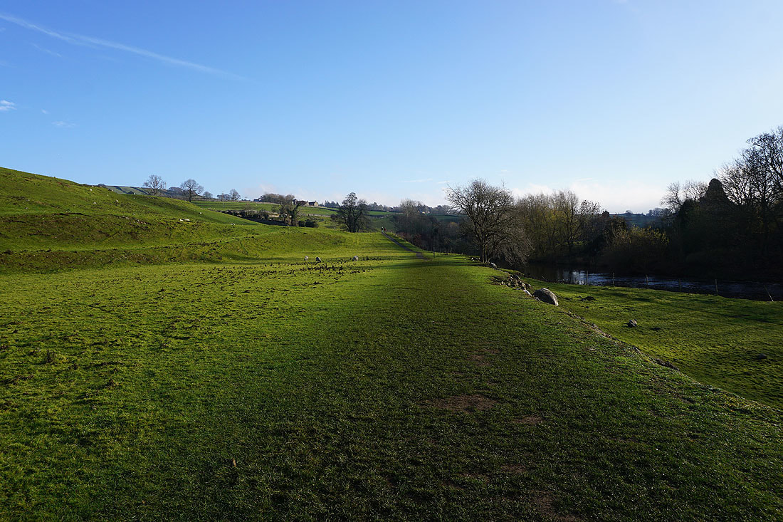
On the Dales Way to Hebden..
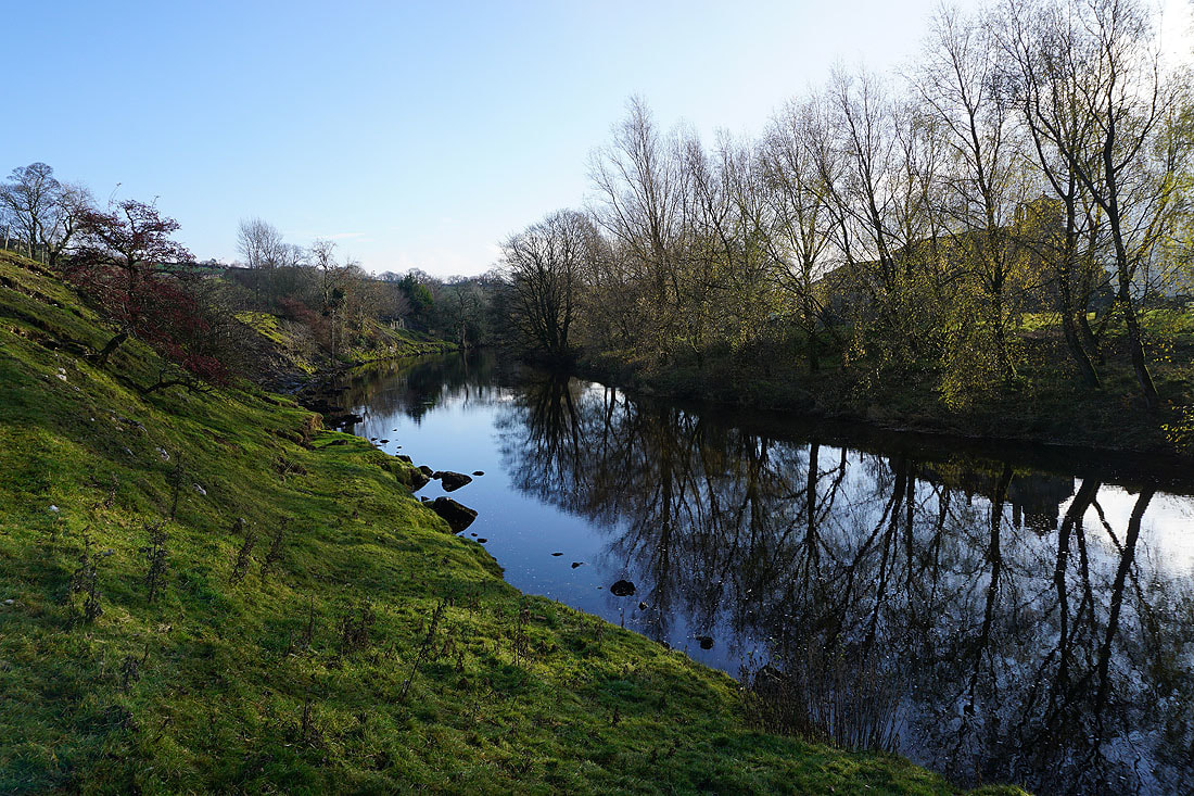
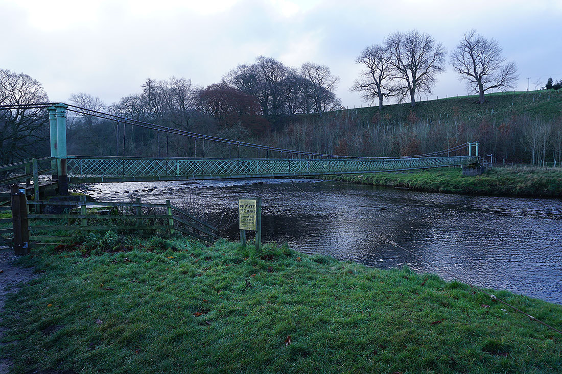
The Dales Way crosses the River Wharfe by suspension bridge. My cue to leave it and walk up Mill Lane to Hebden.
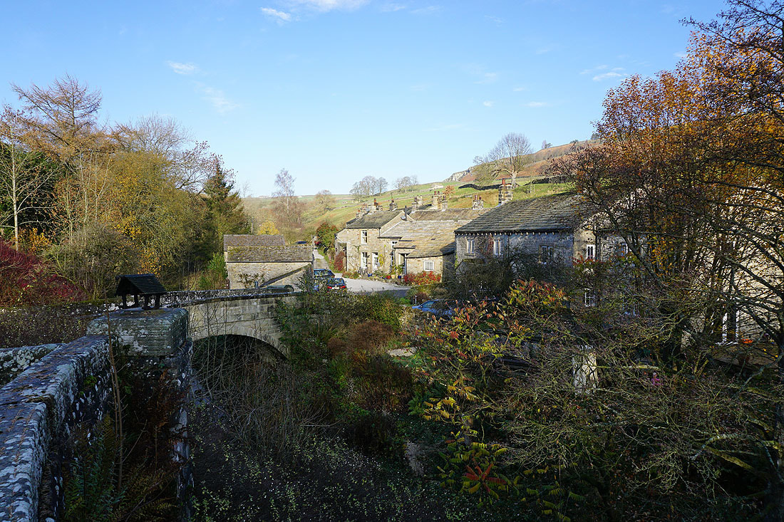
In the village of Hebden
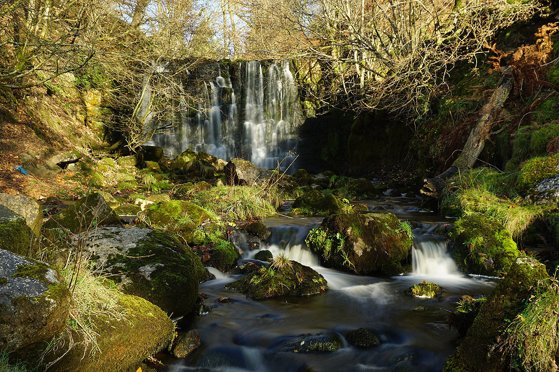
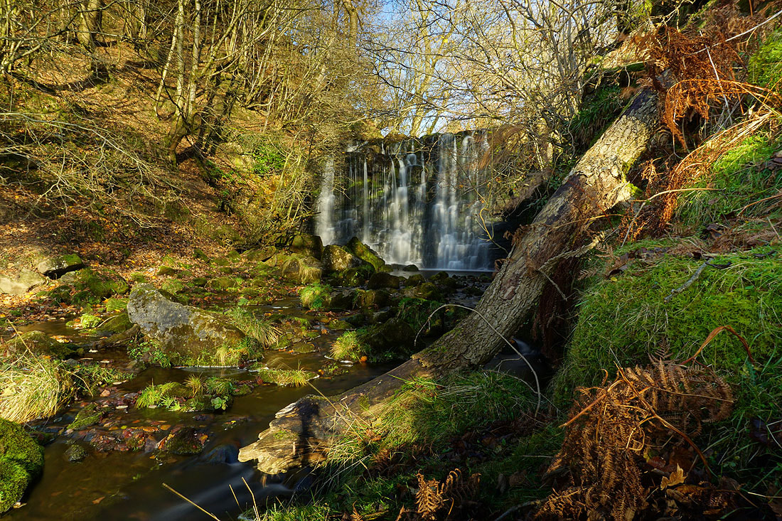
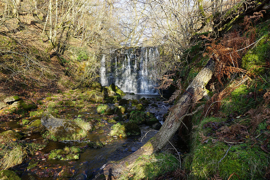
A few photos of Scale Haw Force on Hebden Beck. The footpath I'm on crosses it and then climbs the hillside to Scar Top House.
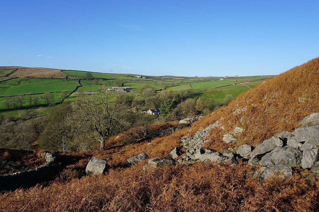
Looking across the valley of Hebden Beck to Hole Bottom from the path up to Scar Top House
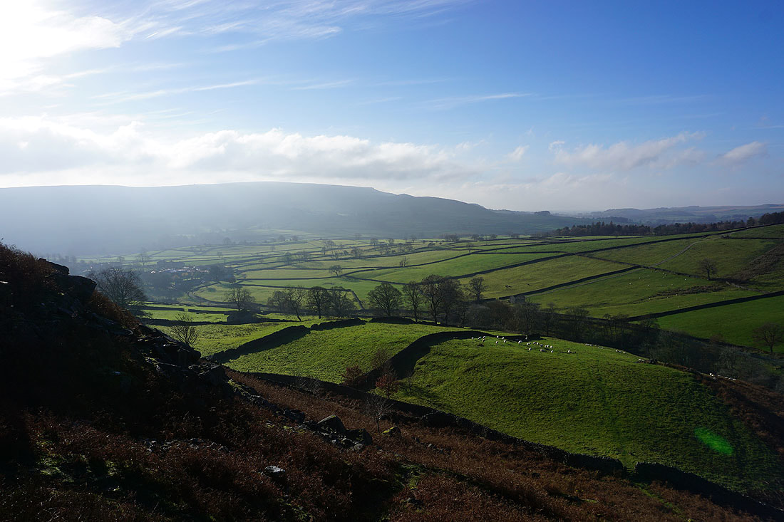
and a misty Burnsall Fell to the south
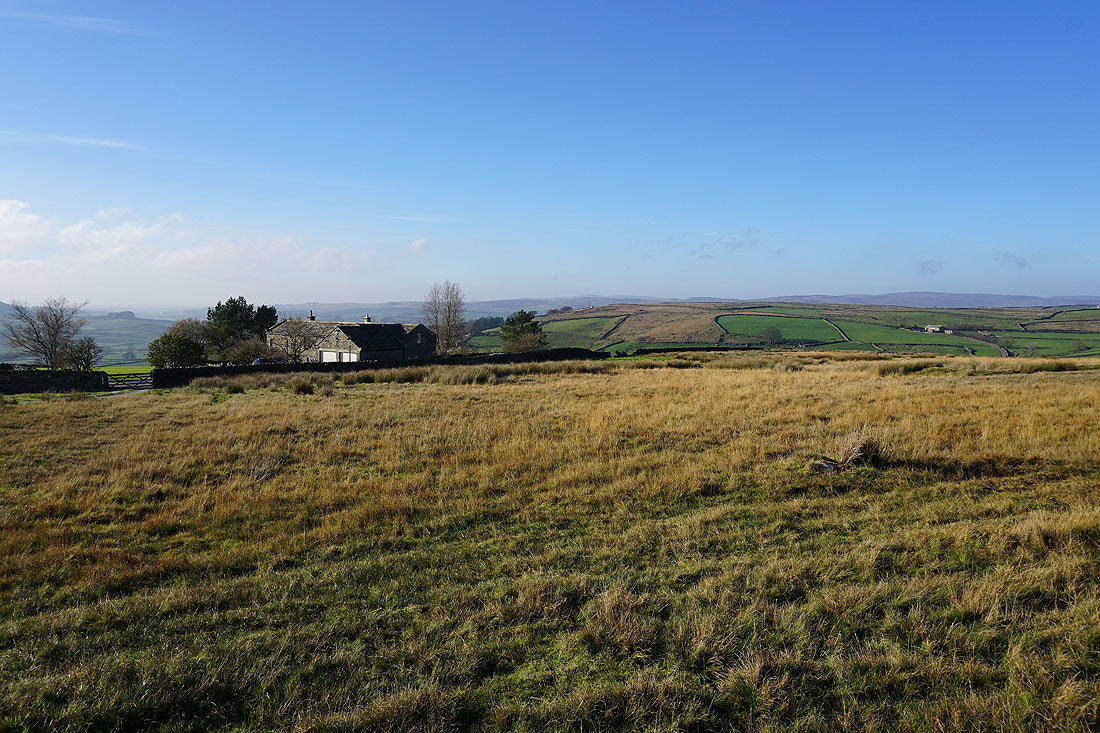
Scar Top House
On the path north across Mossy Moor
Mossy Moor Reservoir
The path descends to the disused mine workings by Hebden Beck
A colourful hillside below Bolton Haw Crags
On the track through the disused mine workings by Hebden Beck..
Looking back to Bolton Haw Crags..
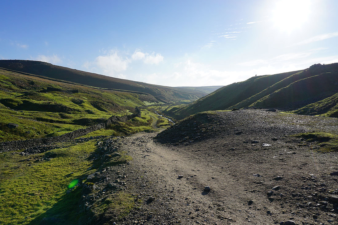
..from the track of Duke's New Road to the disused mines on Grassington Moor
The scars of former quarry workings
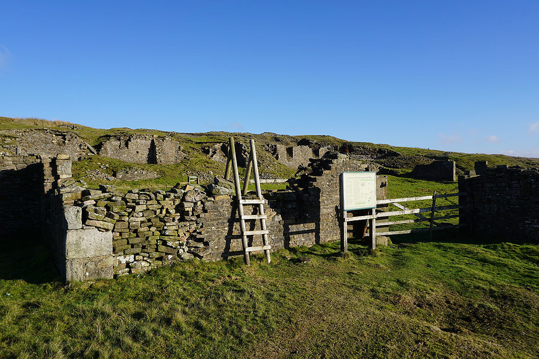
The first of the ruined mine buildings reached is that at Cupola Corner. Information boards are provided as part of the Grassington Moor Lead Mining Trail.
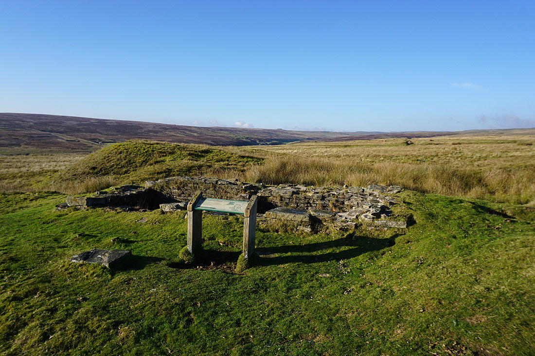
This was a condenser house
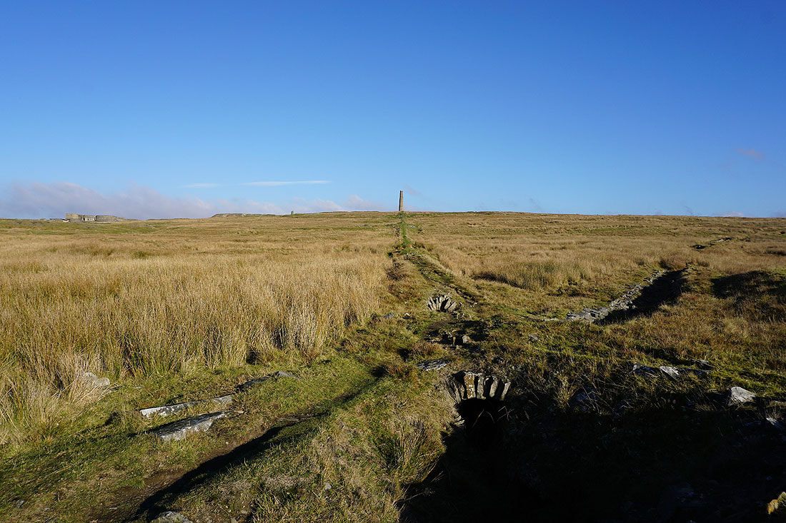
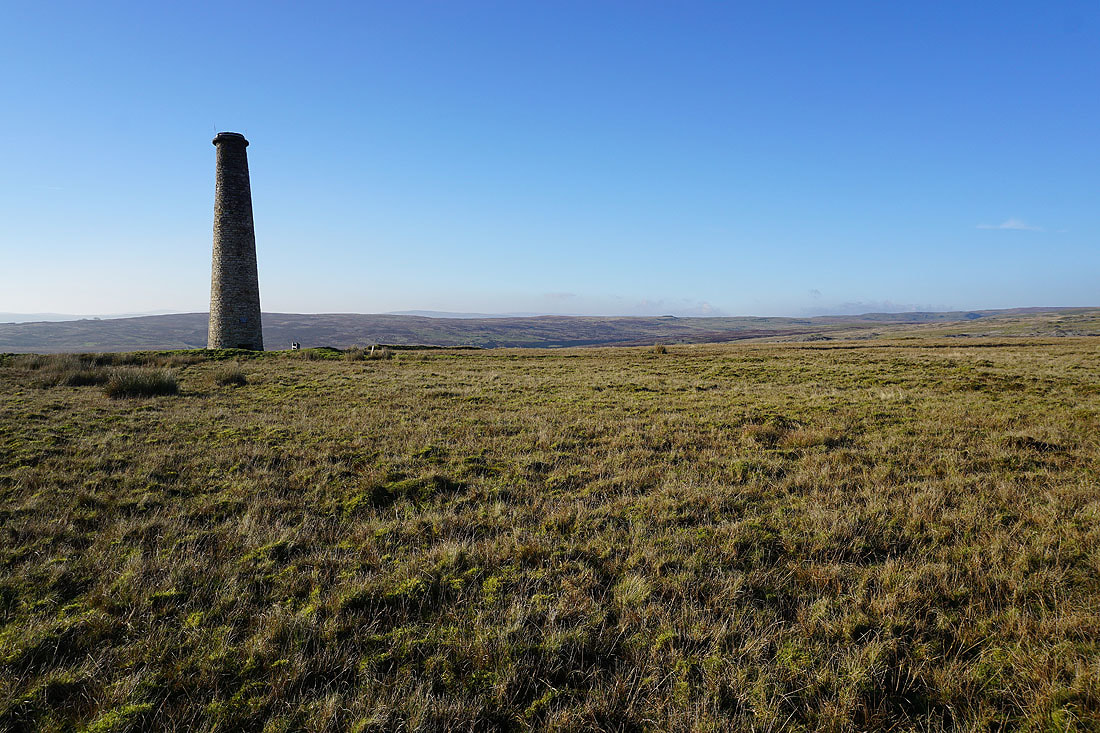
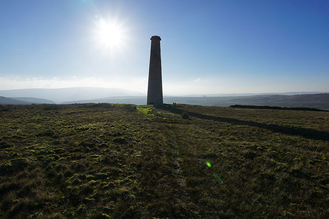
The line of the flue up to the chimney on the hillside above..
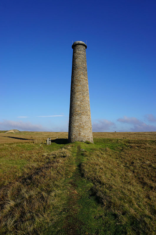
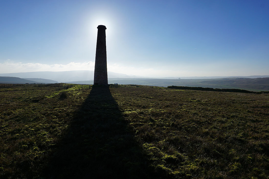
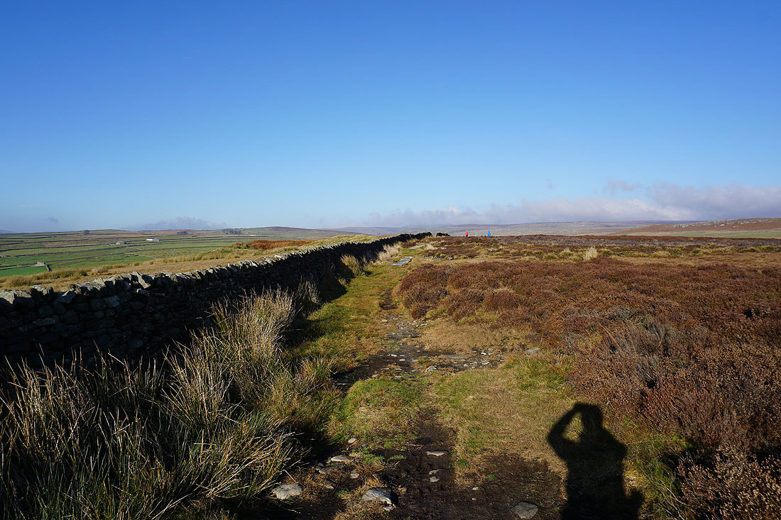
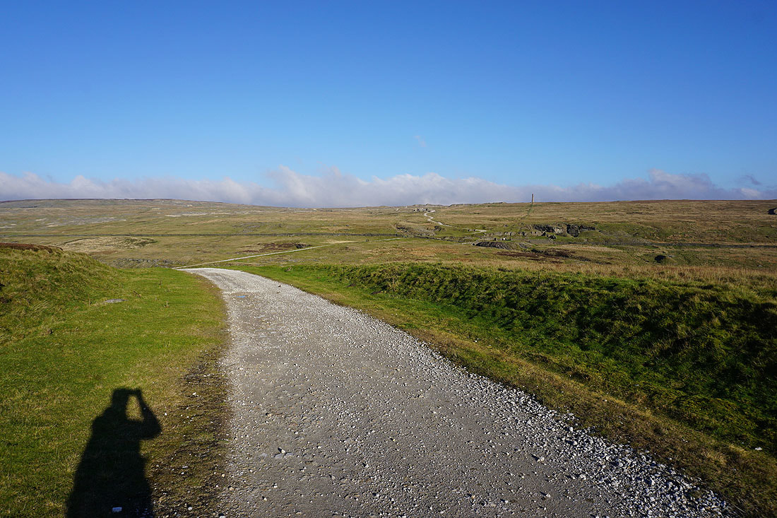
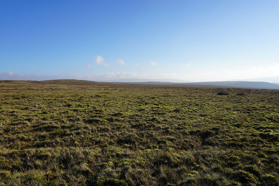
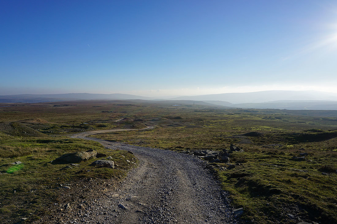
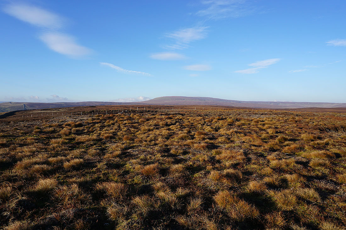
There are great views across the surrounding moorland from up here....
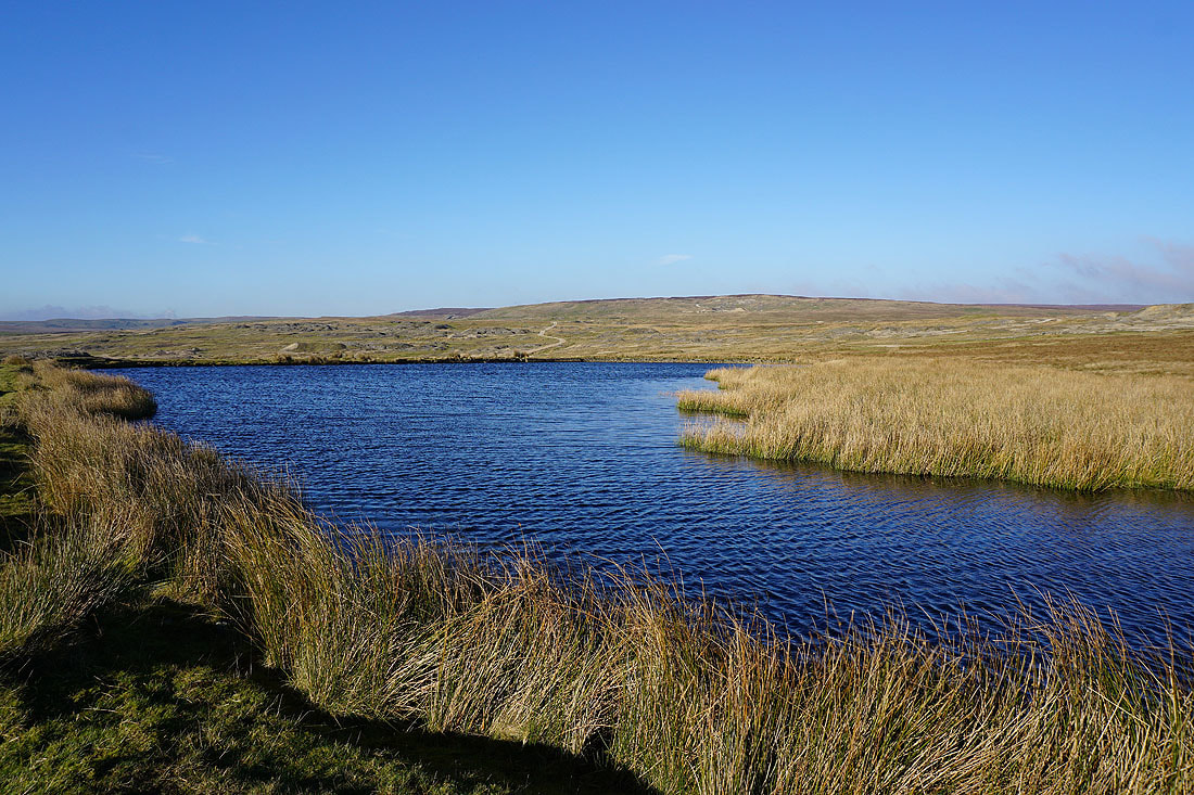
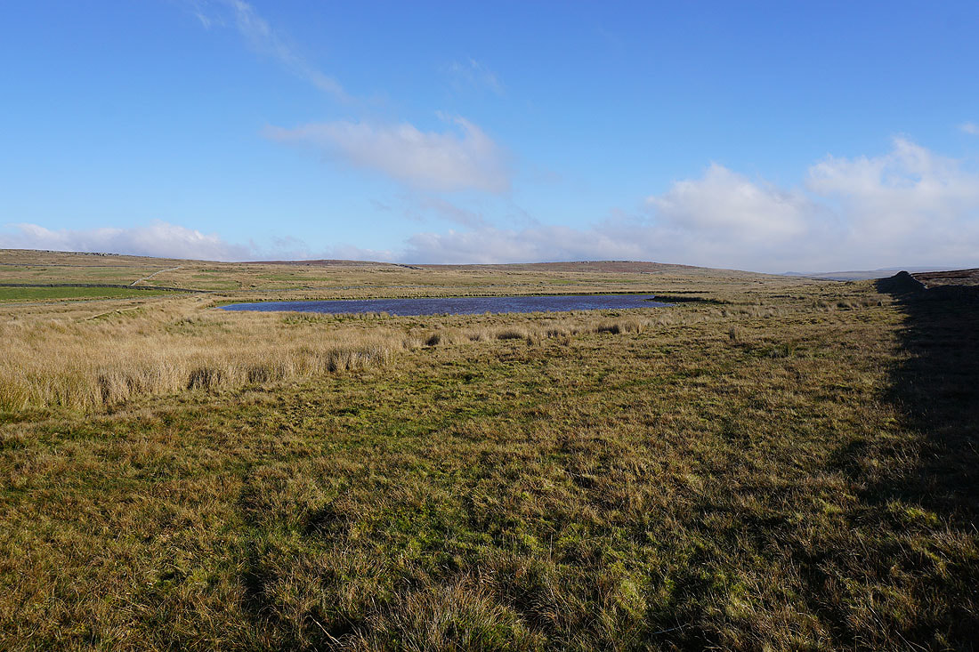
Coalgrove Beck Reservoir
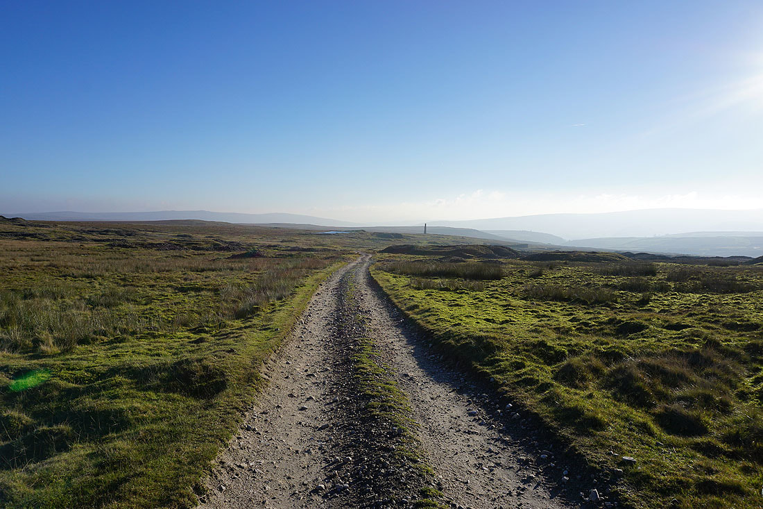
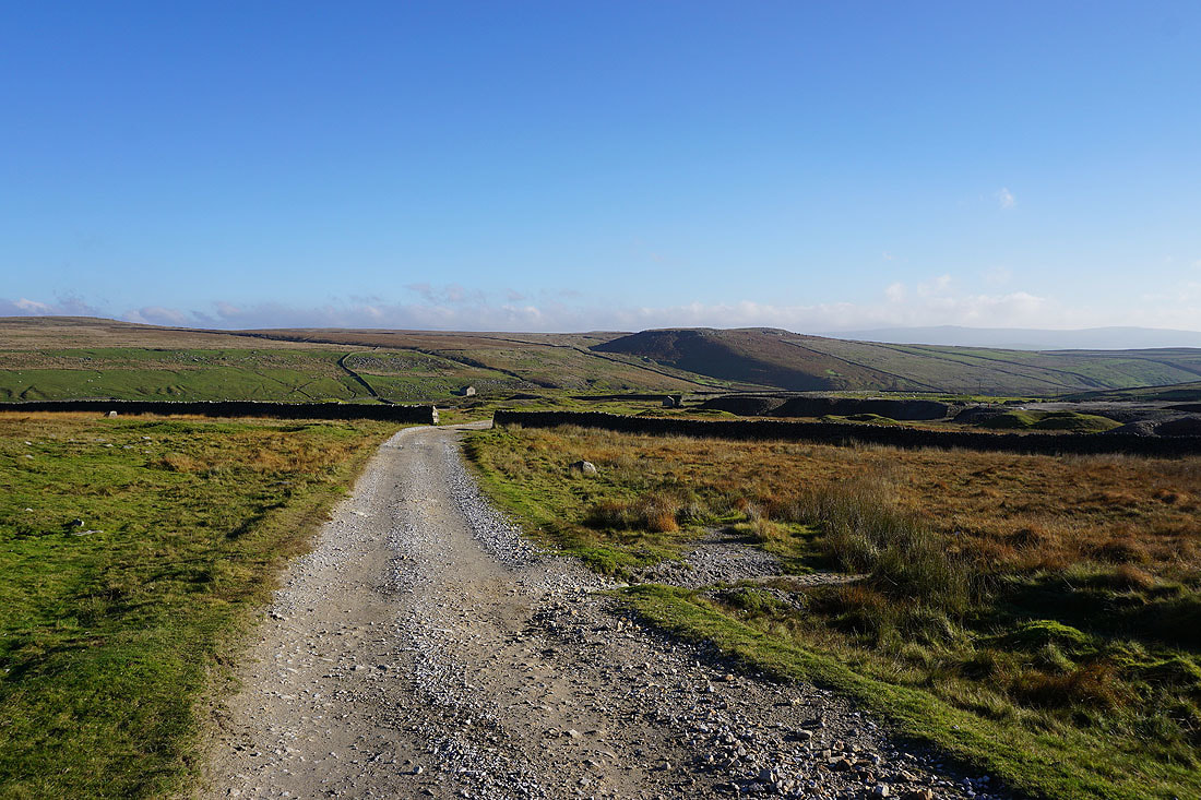
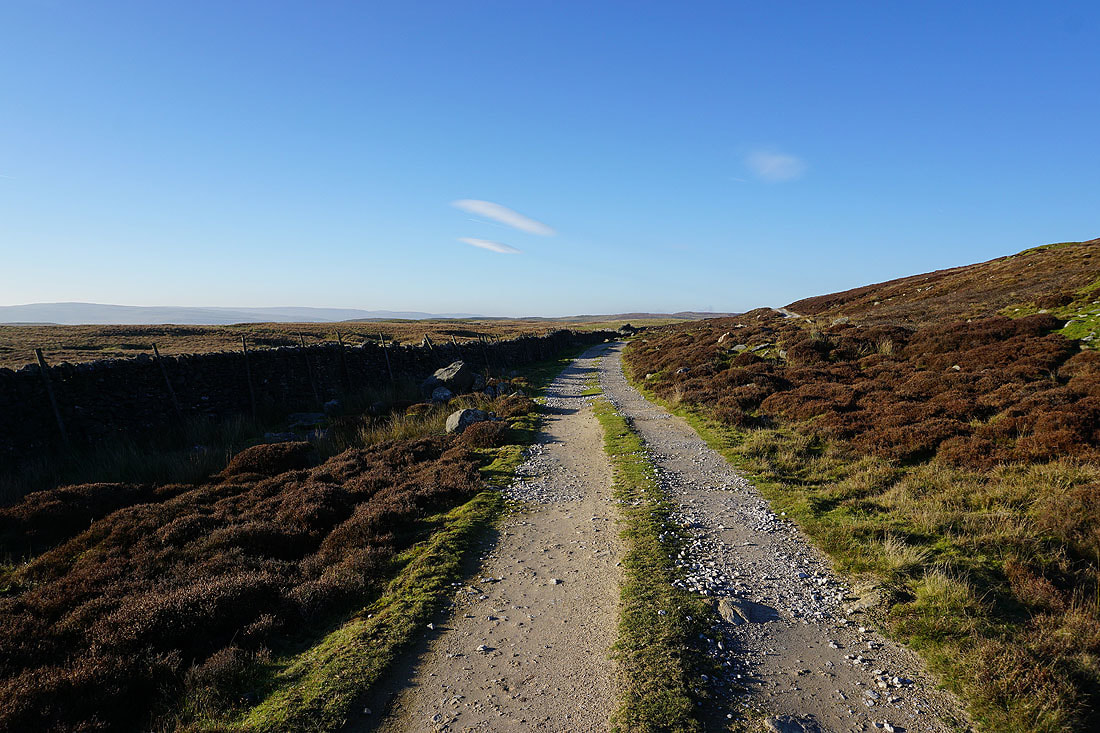
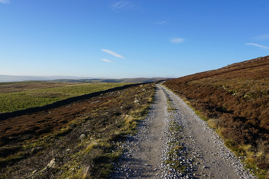
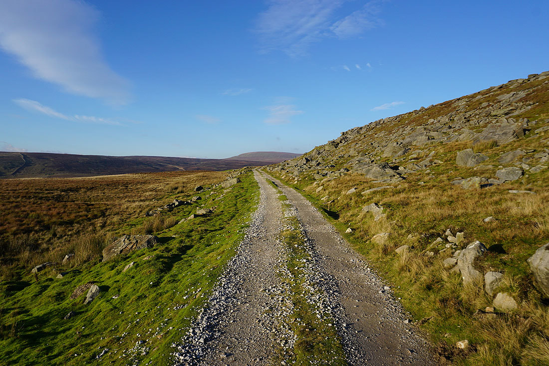
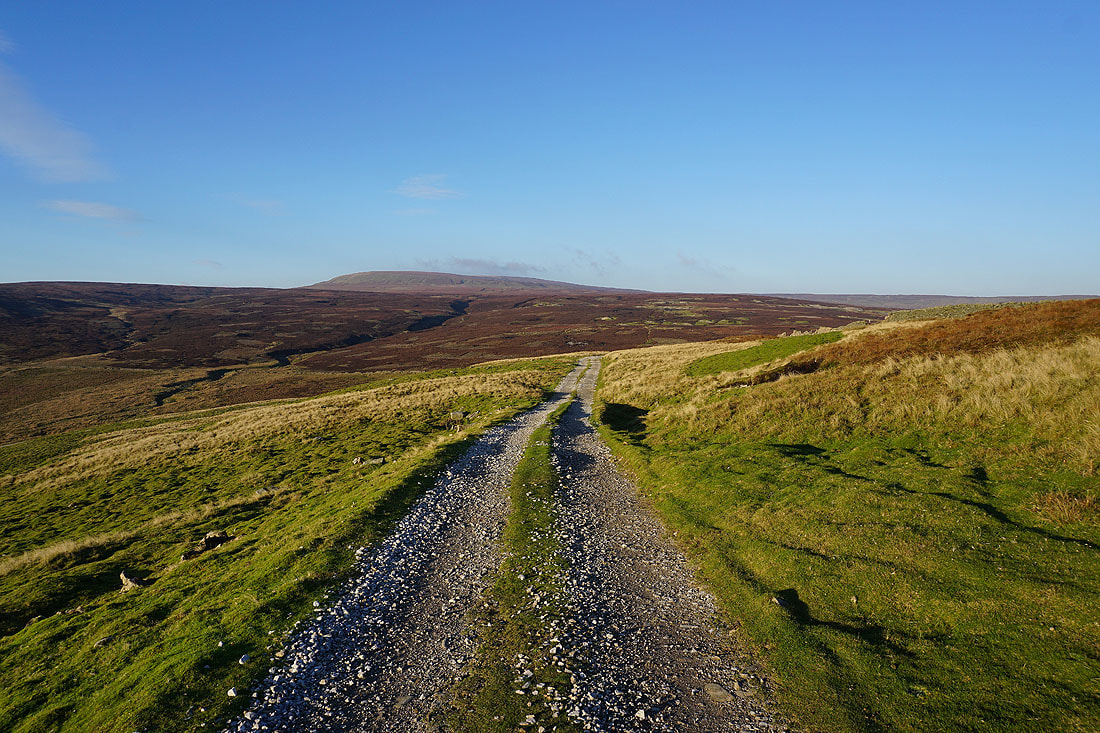
Leaving the chimney behind I follow a track northwest up and across Grassington Moor.......
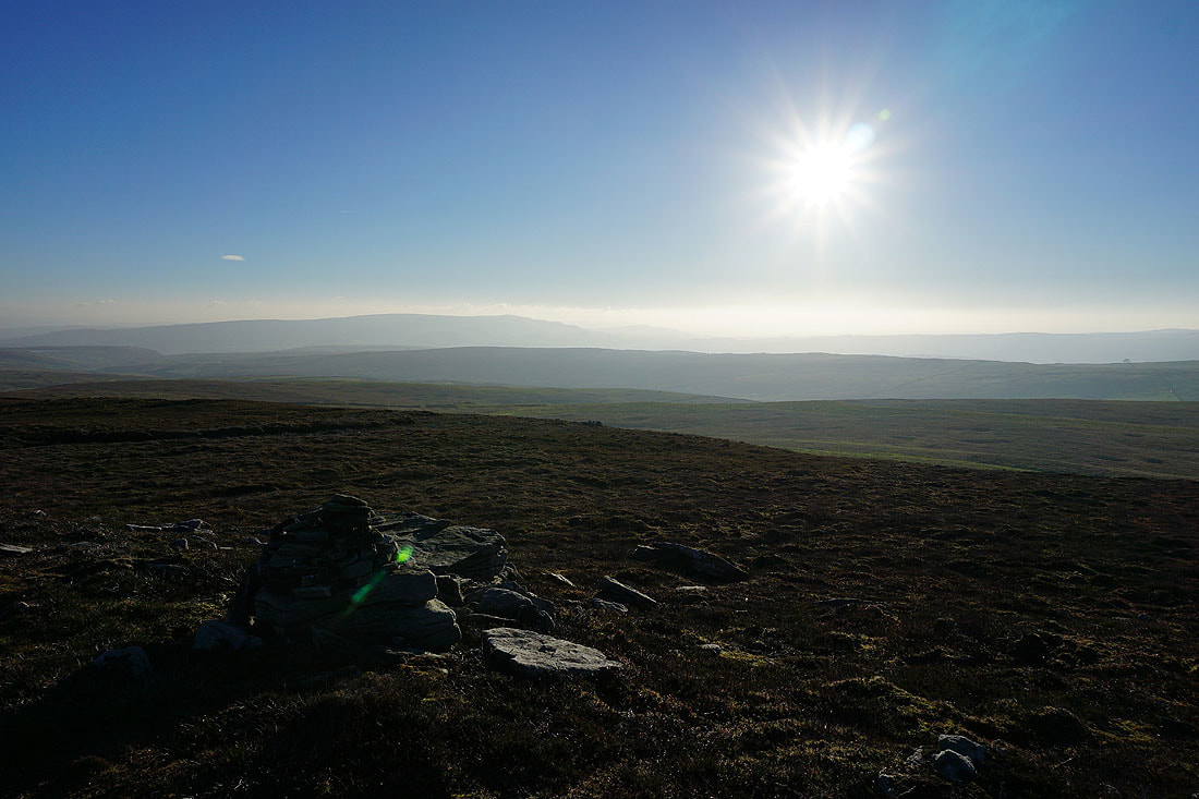
I leave the track to climb the short distance up onto Black Edge. Looking north to the southern end of Great Whernside.
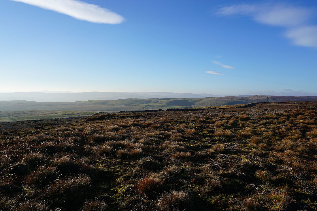
Malham Moor and Kilnsey Moor in the distance to the west
Burnsall Fell and the moors above Grassington to the south
Looking down Wharfedale to Simon's Seat
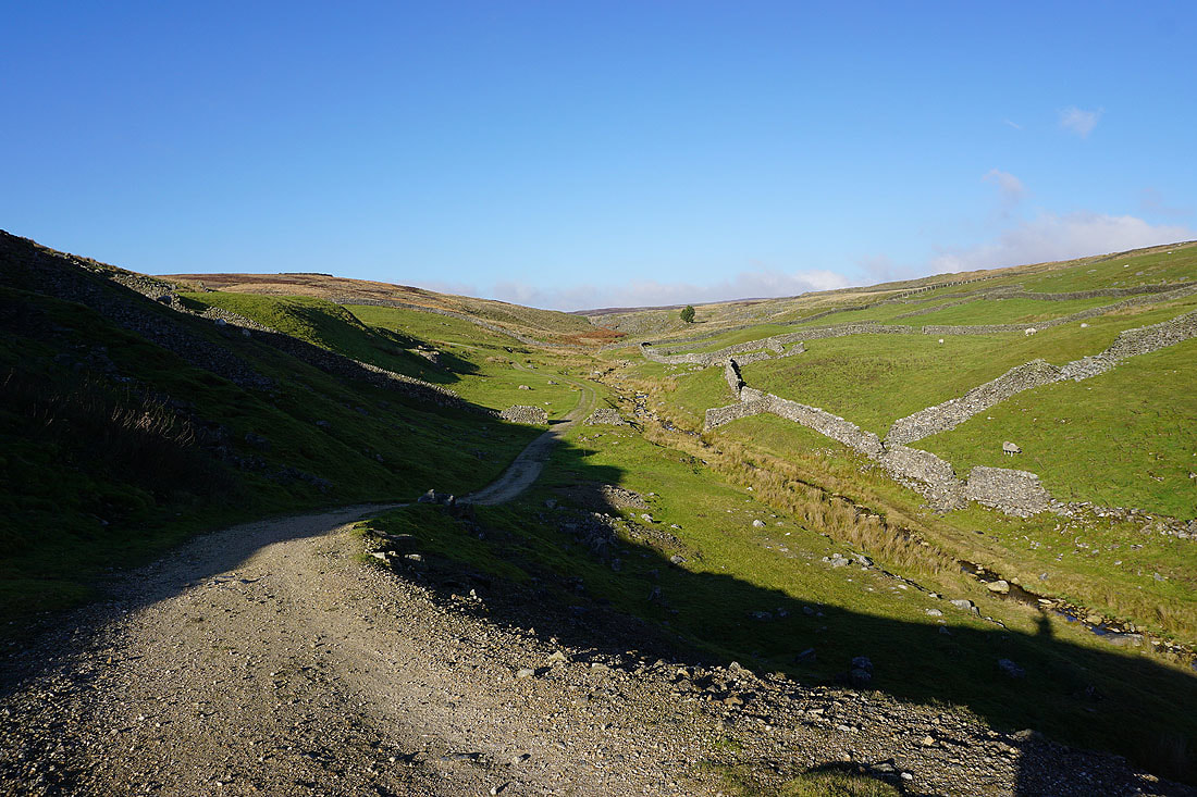
Having descended from Black Edge the track takes me down into Mossdale..
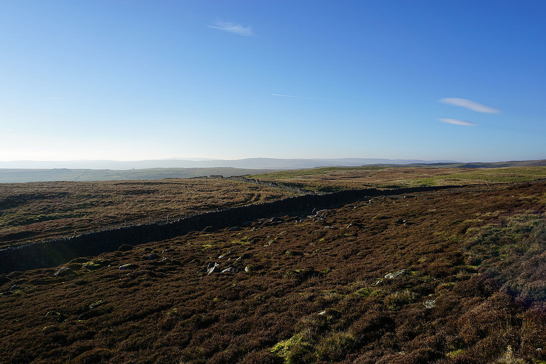
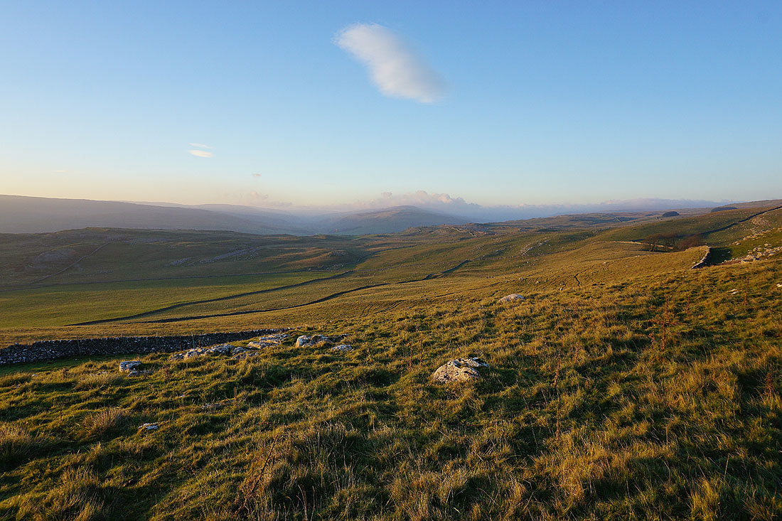
Looking back to the moorland around Mossdale from the bridleway of Bycliffe Road
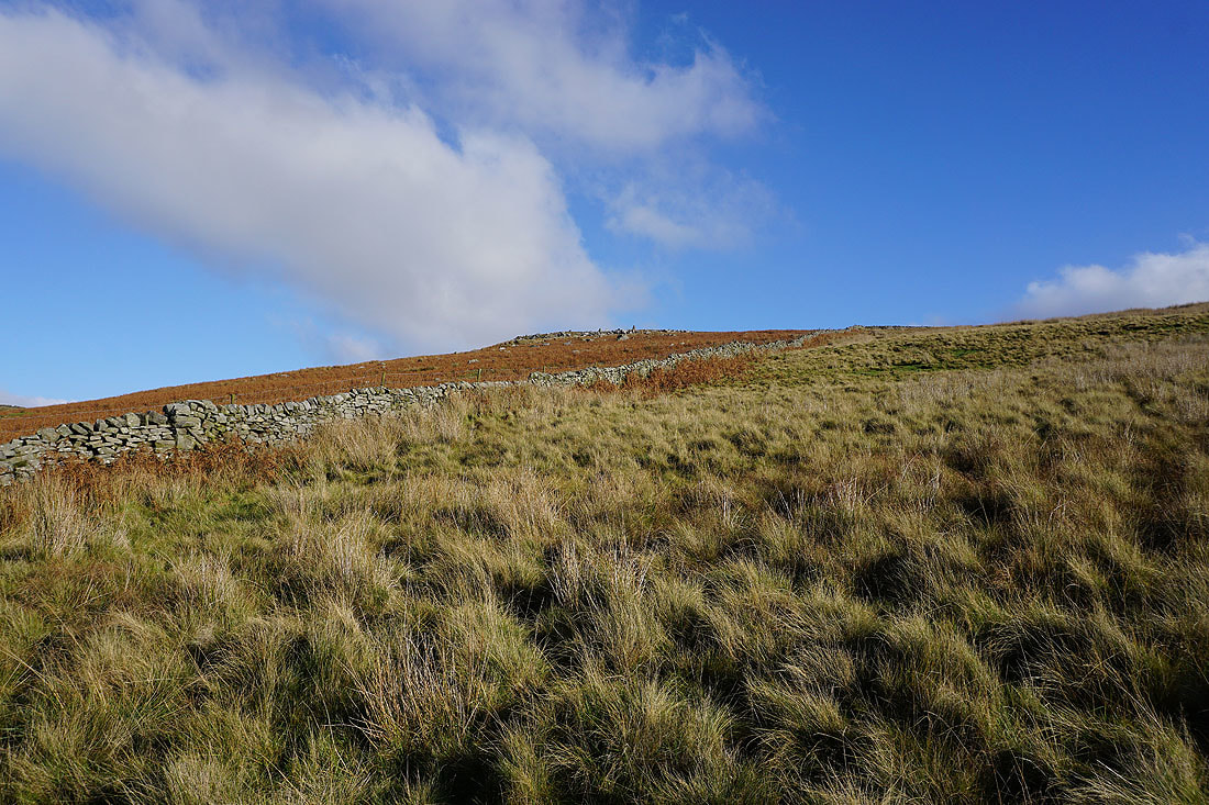
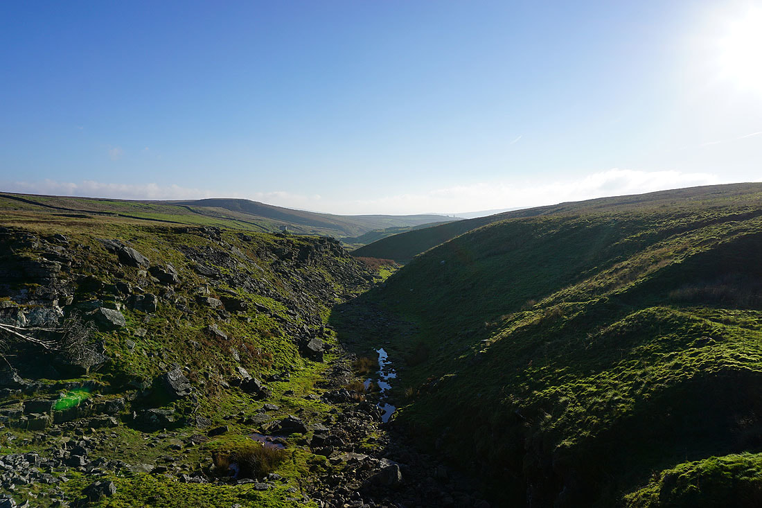
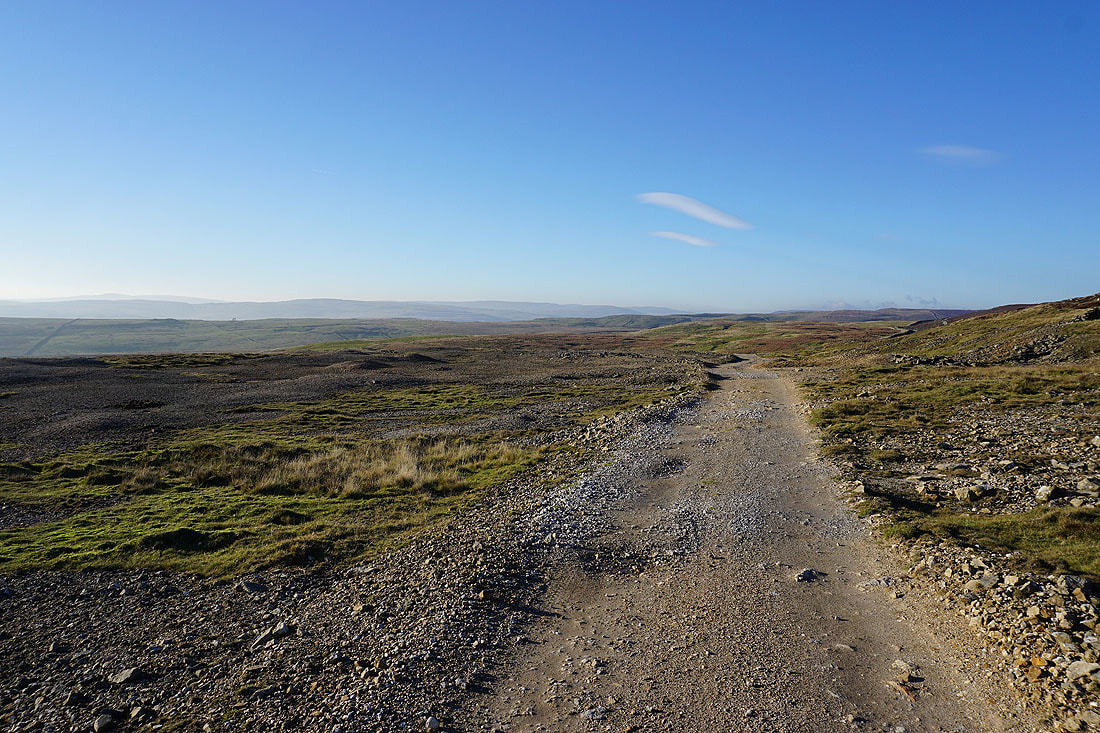
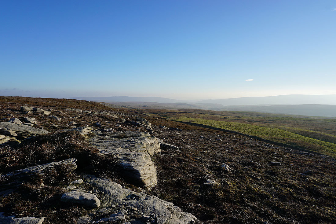
Limestone scars below Black Edge
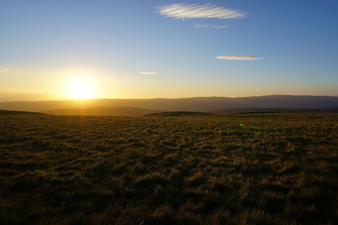
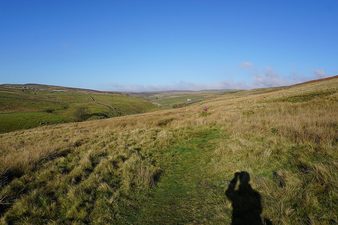
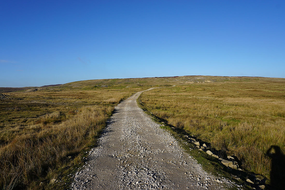
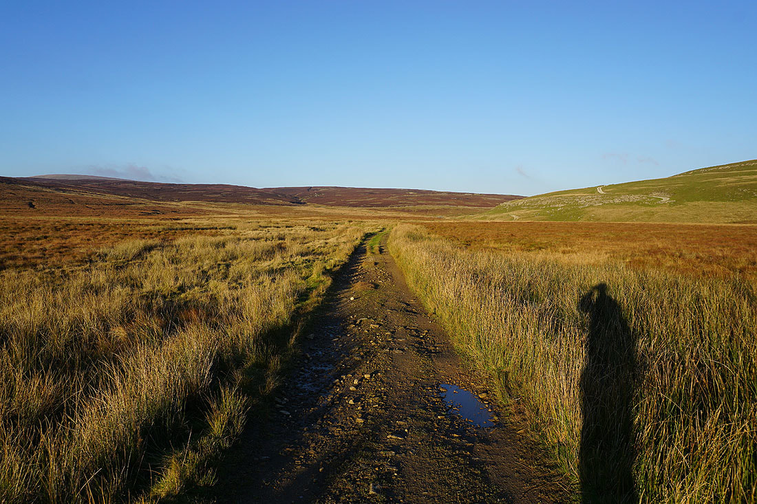
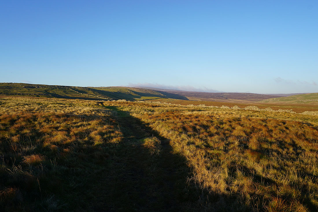
A beautiful light and long shadows as I follow the footpath south across Kelber....
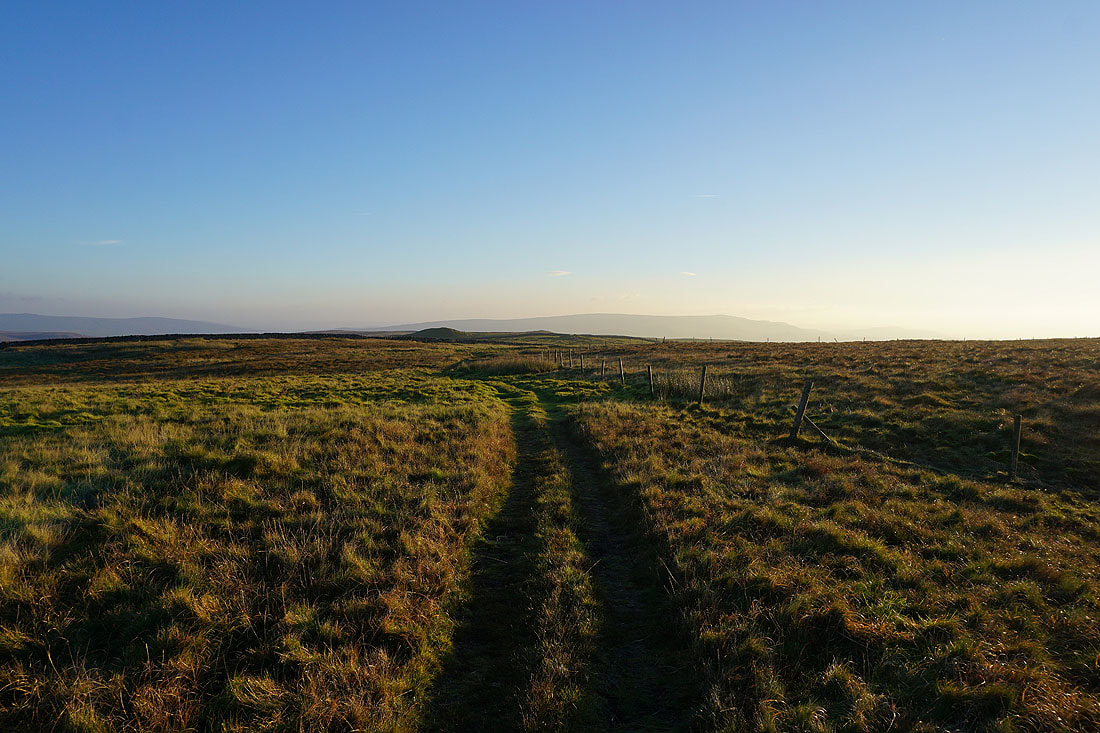
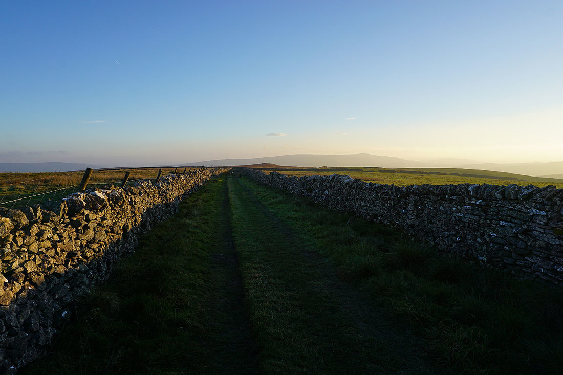
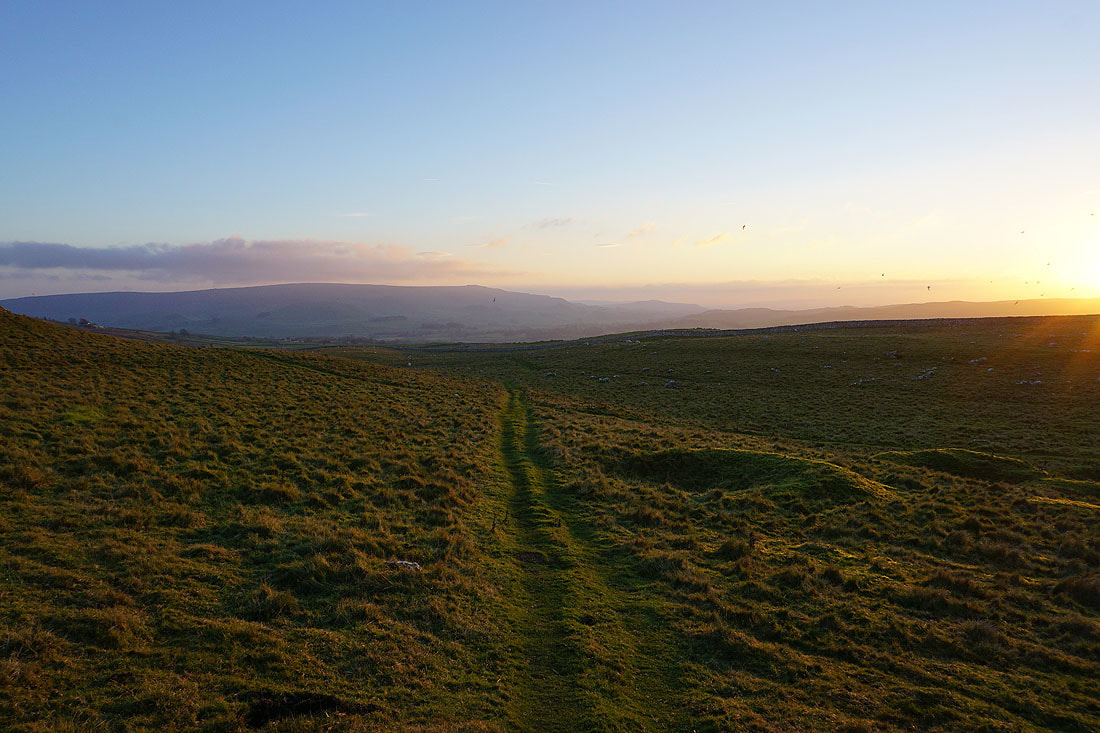
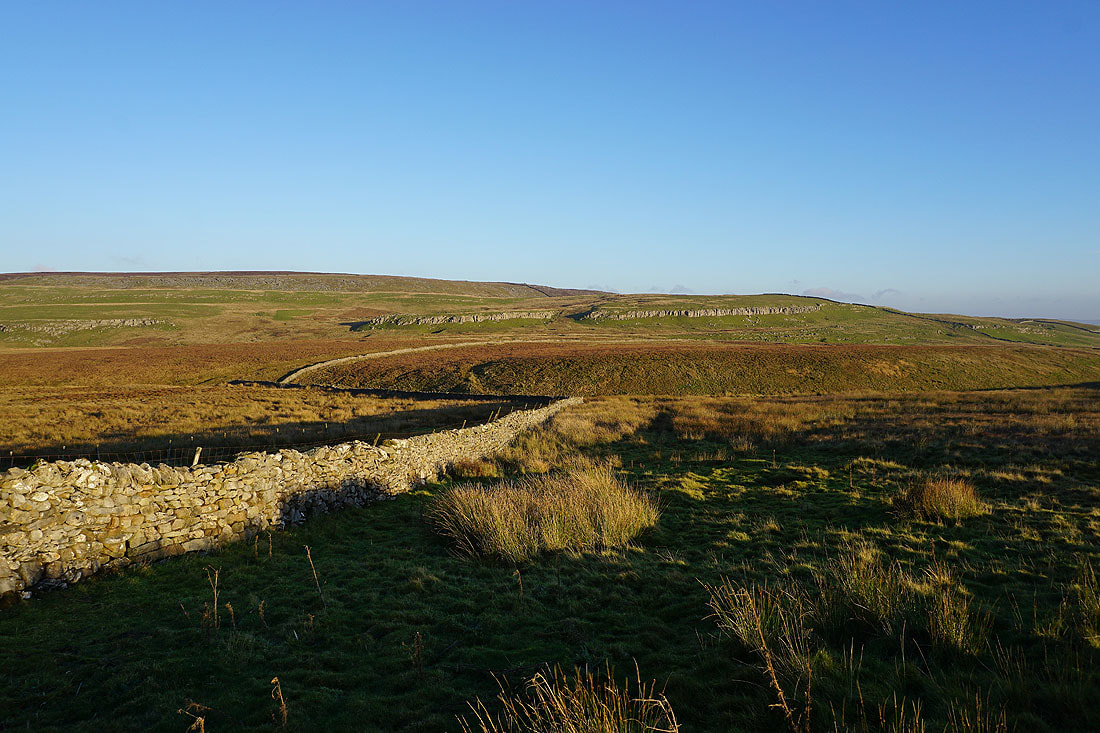
The path becomes a track between walls..
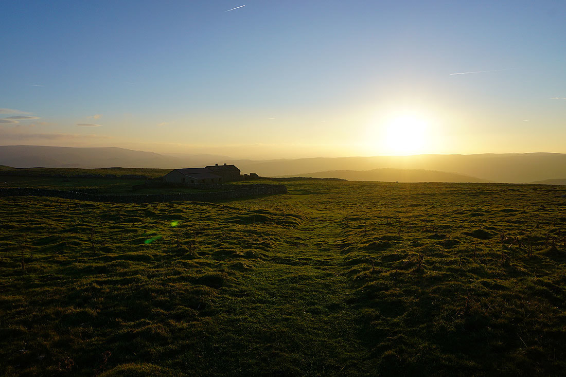
..and then I take a footpath on the right towards the derelict buildings of Bare House
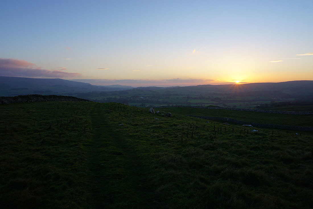
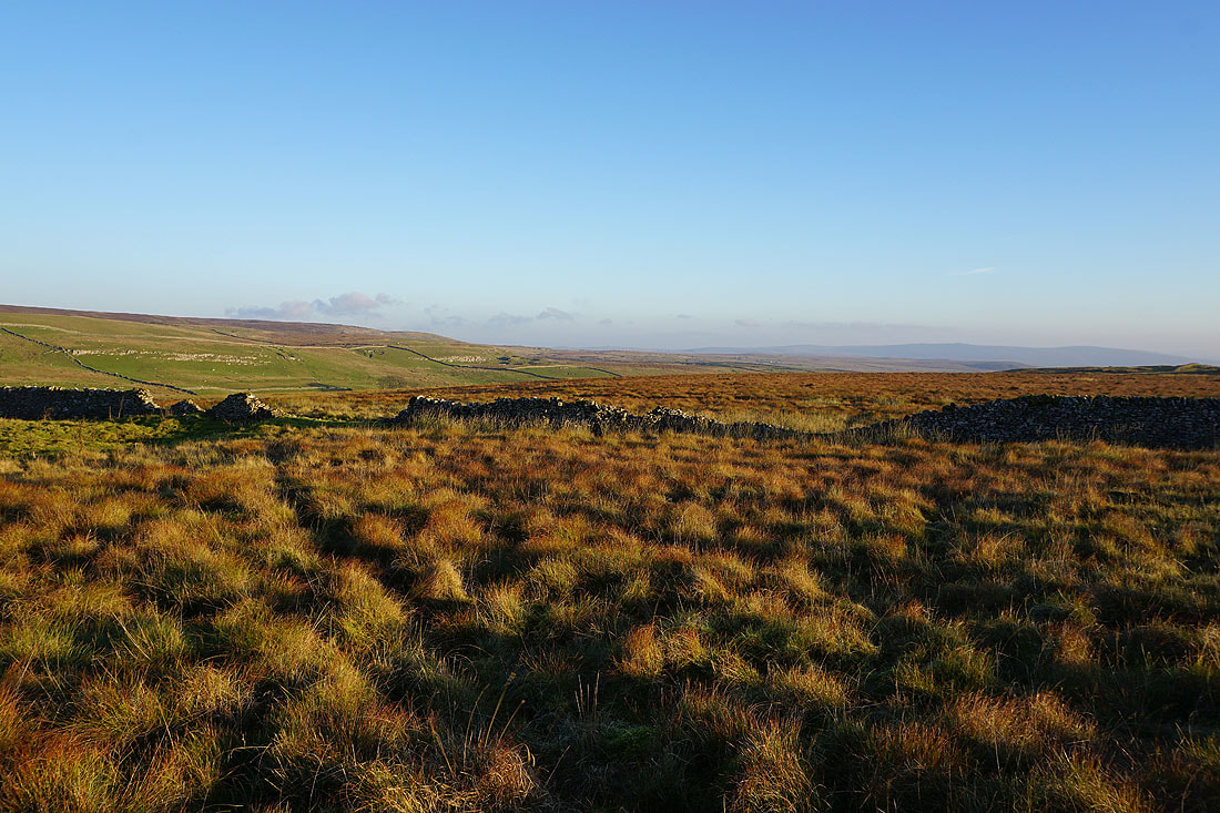
From this vantage point I can see up Wharfedale and into Littondale where low cloud is blowing across the tops of the moors
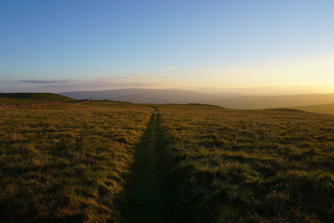
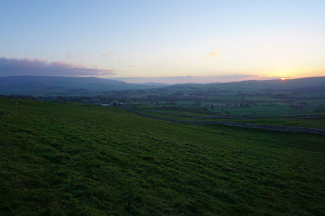
I finish the walk by following the path south down into Grassington as the sun sets across Wharfedale.....