18th September 2011 - Great Harlow & Bowland Knotts
Walk Details
Distance walked: 7.5 miles
Total ascent: 1224 ft
OS map used: OL41 - Forest of Bowland & Ribblesdale
Time taken: 5 hours
Route description: Cross of Greet Bridge-Catlow-Bowland Knotts-Copy Nook-Cold Stone-Great Harlow-Cross of Greet-Cross of Greet Bridge
I parked at the car park at the Cross of Greet Bridge on the Slaidburn to High Bentham road. I then set off on my walk along a footpath beside the River Hodder that goes past Catlow Farm before heading uphill to Bowland Knotts. From Bowland Knotts I then headed west to Great Harlow. From Great Harlow I made my way downhill to the road and I then walked down the road back to the Cross of Greet Bridge.
After the walk I drove a few miles north along the road towards High Bentham to see the "Great Stone of Fourstones". Photos of this are at the end of the walk.
Route map
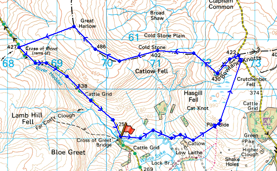
© Crown copyright. All rights reserved. License number PU 100034184.
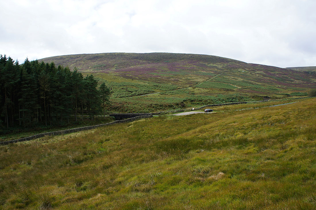
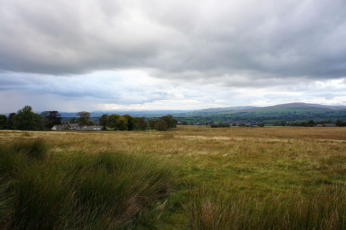
Looking back to the car park at the Cross of Greet Bridge as I set off
The craggy outline of Bowland Knotts in the distance
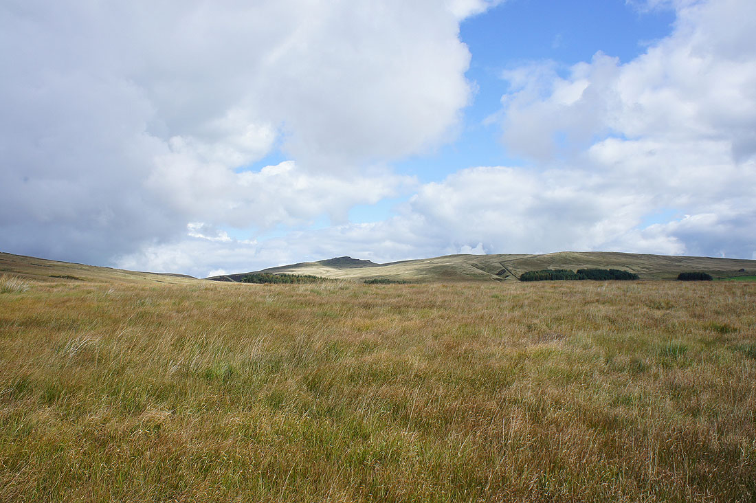
Catlow Fell
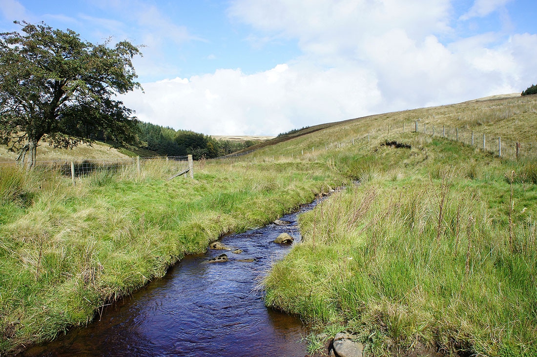
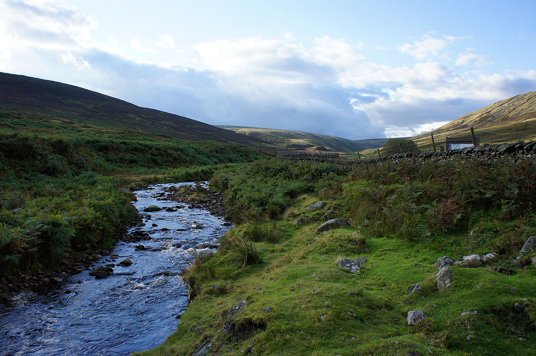
Walking by the River Hodder with Bloe Greet Breast on White Hill behind
Kearsden Holes
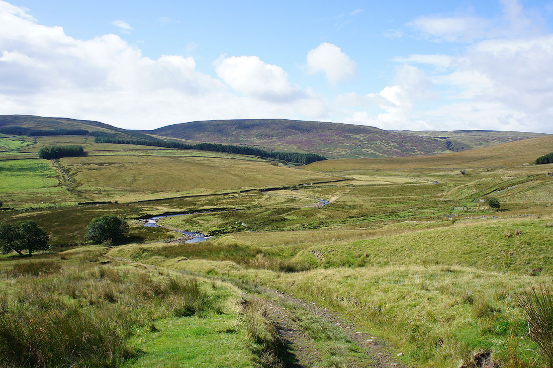
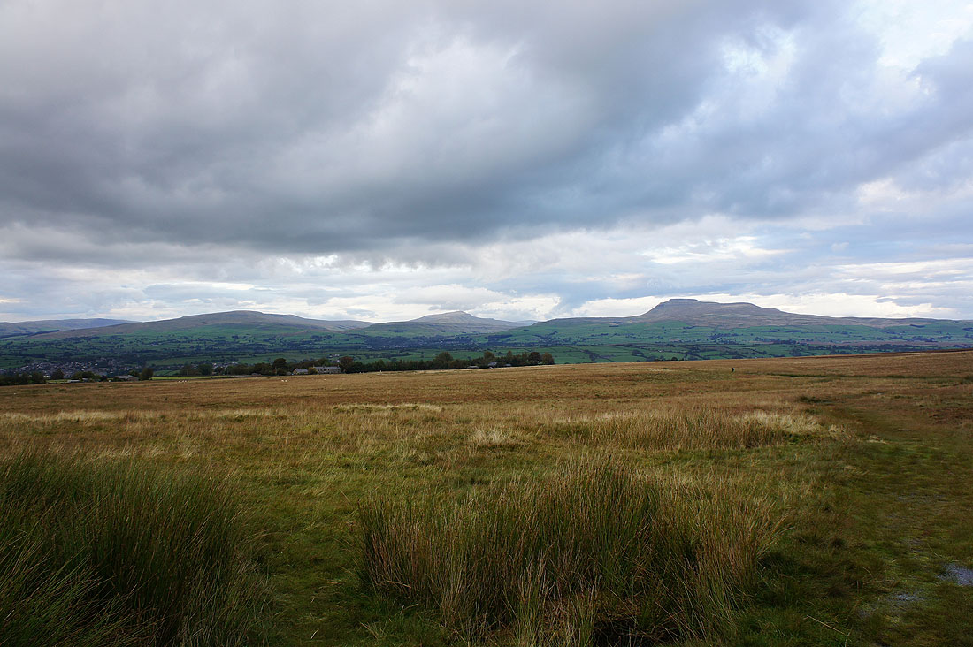
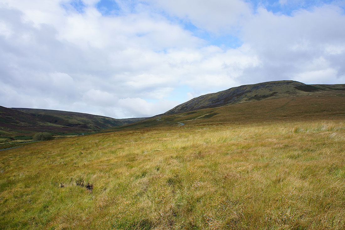
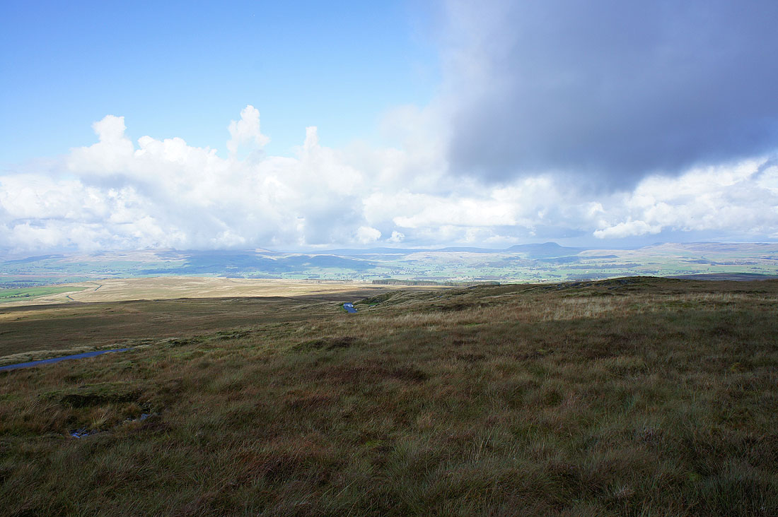
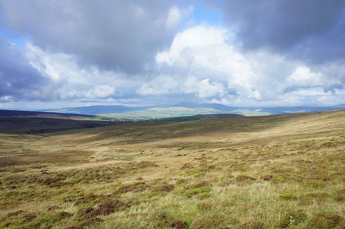
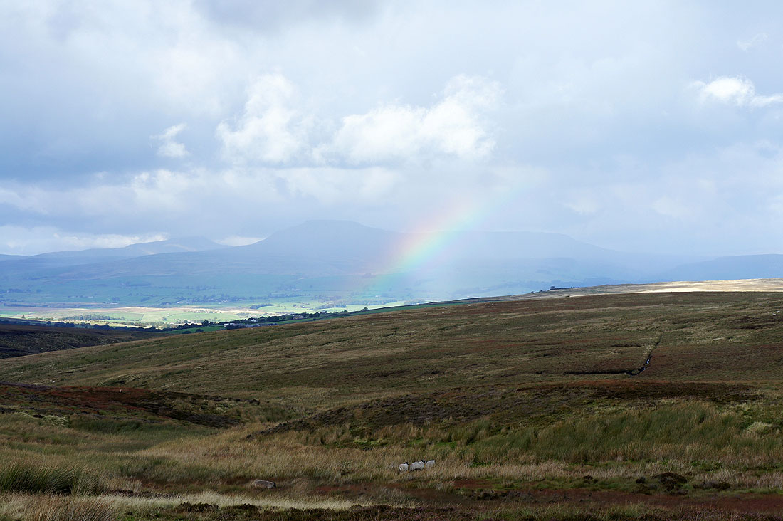
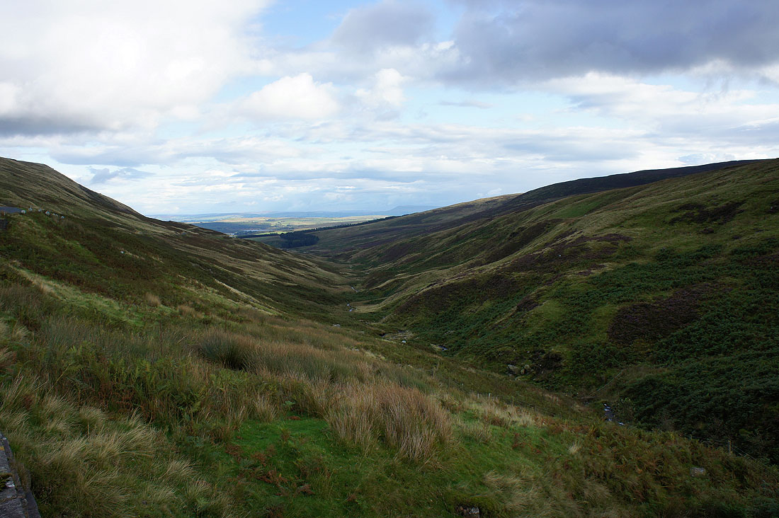
Landscape in the valley of the infant River Hodder
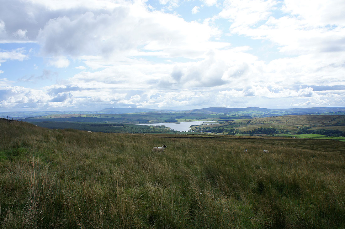
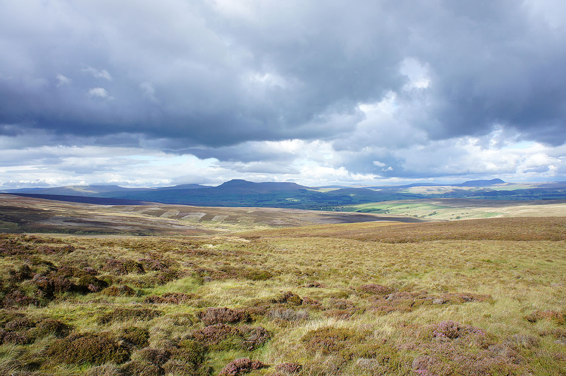
The view across to Pendle Hill and Stocks Reservoir
White Hill and Catlow Fell
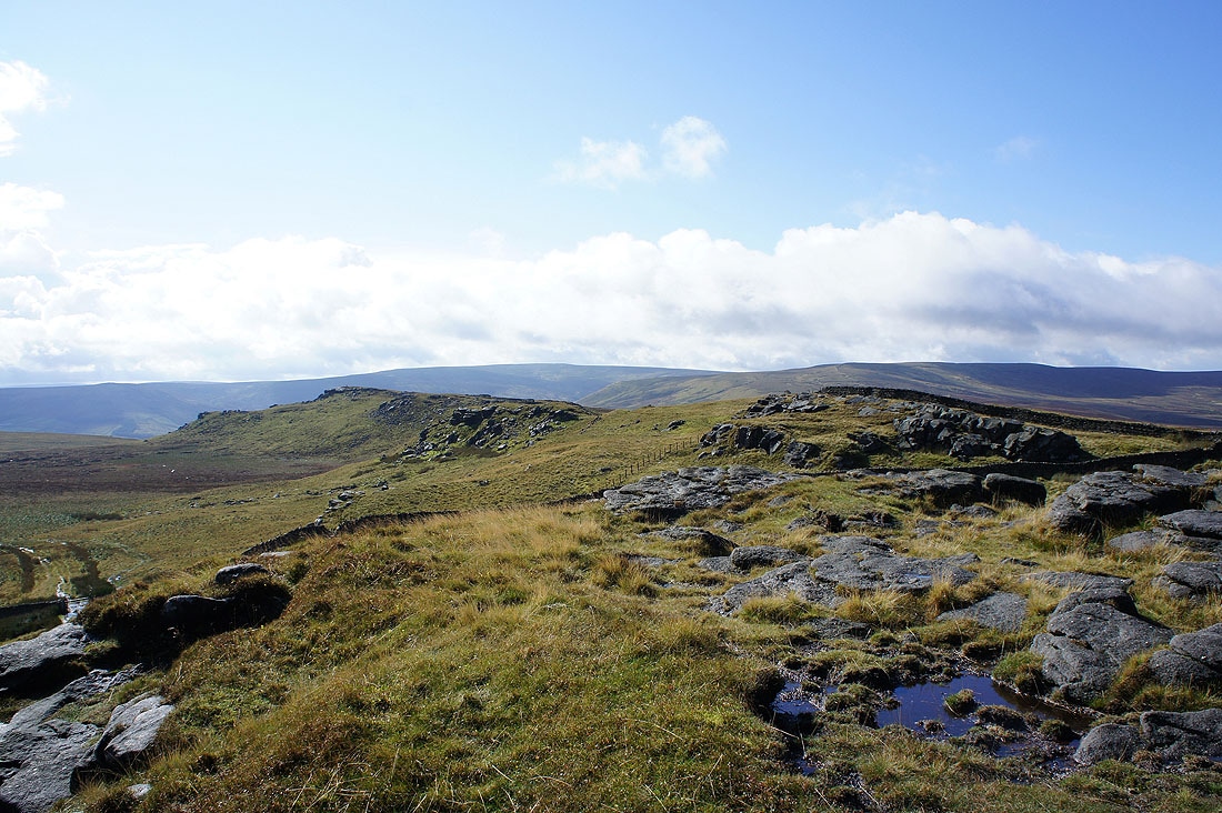
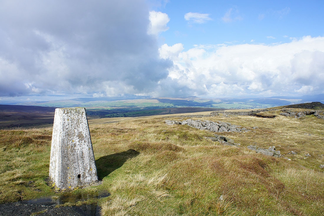
Arrival on Bowland Knotts
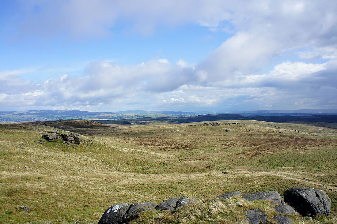
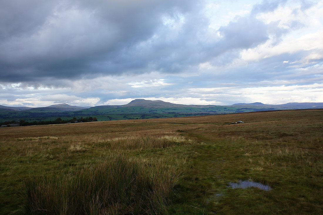
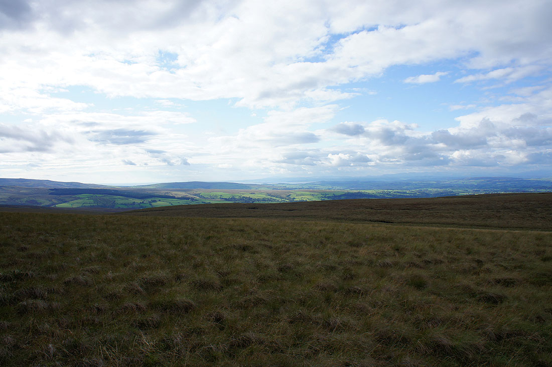
The view east towards Gisburn Forest
Penyghent and Fountains Fell in the distance
Ingleborough under cloud
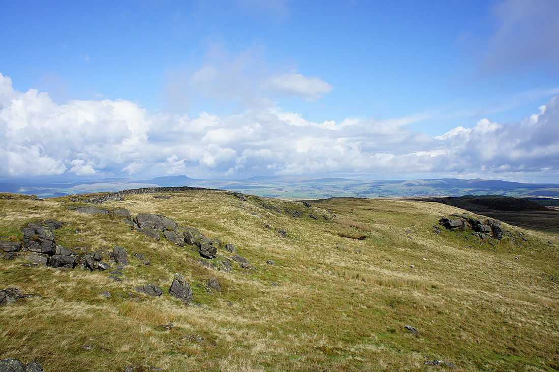
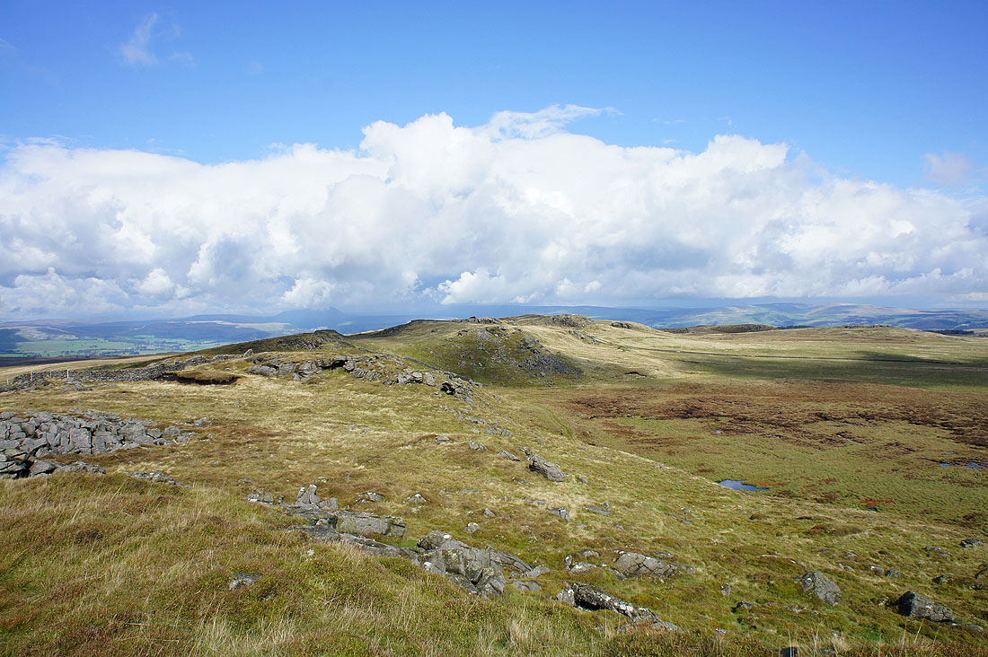
The view west along Bowland Knotts
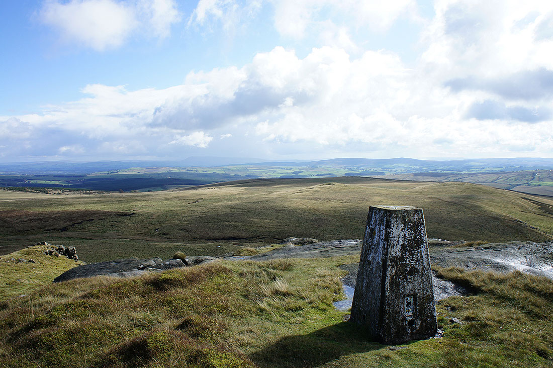
The view south to Pendle Hill from the trig point on Bowland Knotts
The view east to Whelp Stone Crag and Gisburn Forest
Bowland Knotts
Looking towards a cloud covered Ingleborough
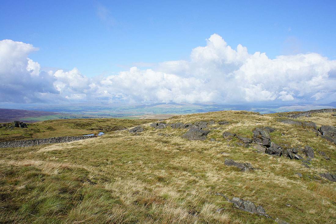
Bowland Knotts
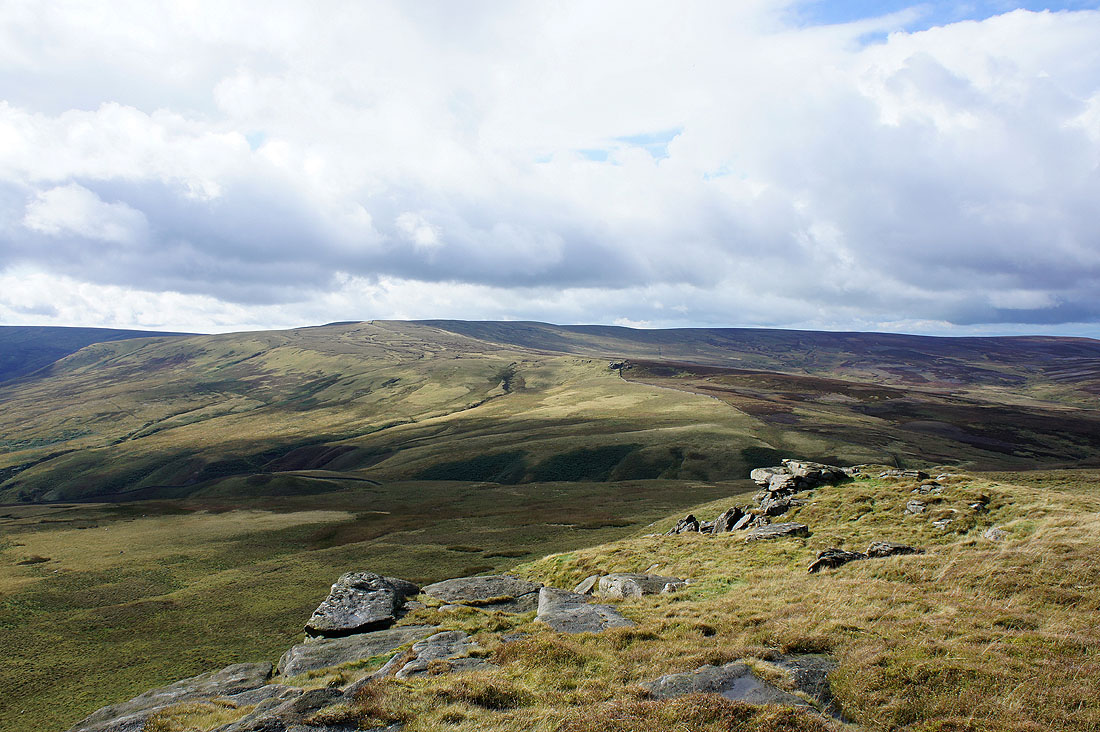
Great Harlow from Bowland Knotts
The cloud lifts from Ingleborough as I head for Great Harlow..
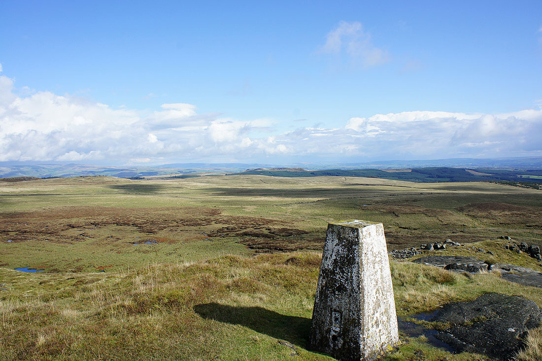
Cold Stone
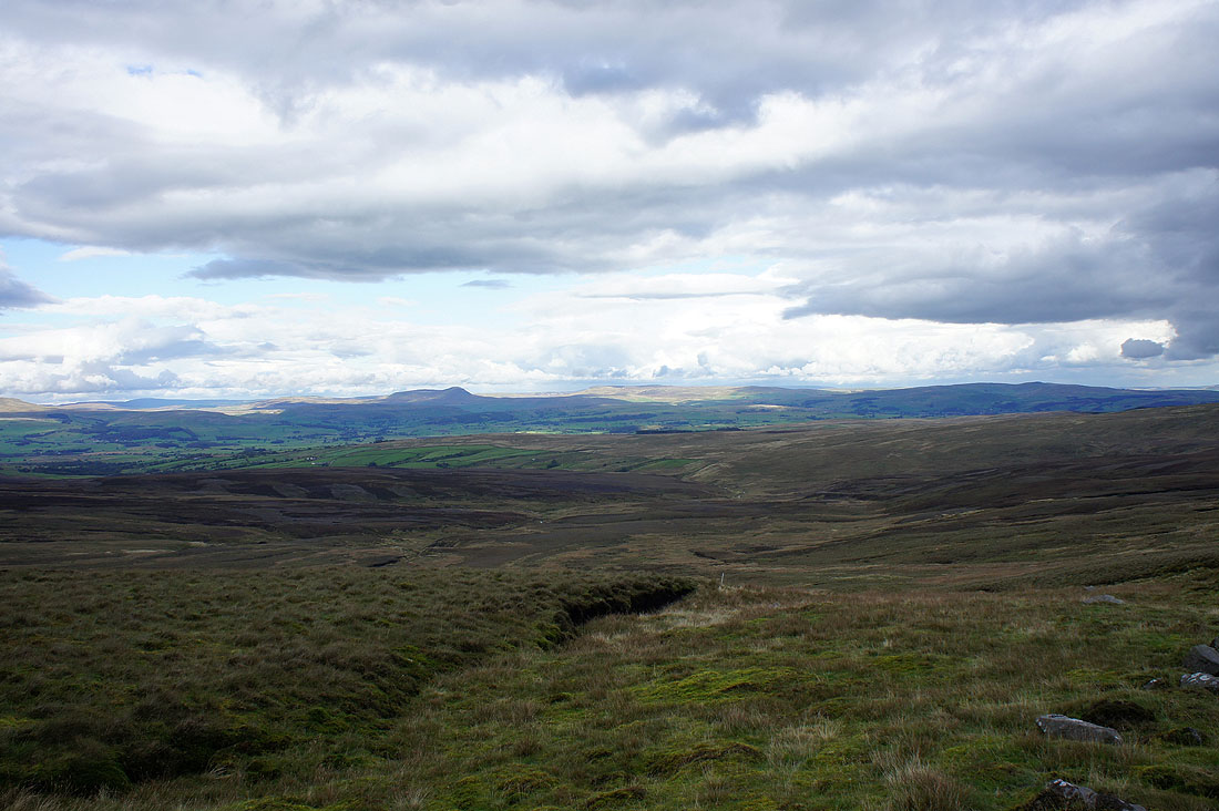
Pendle Hill and Stocks Reservoir in the distance from Cold Stone
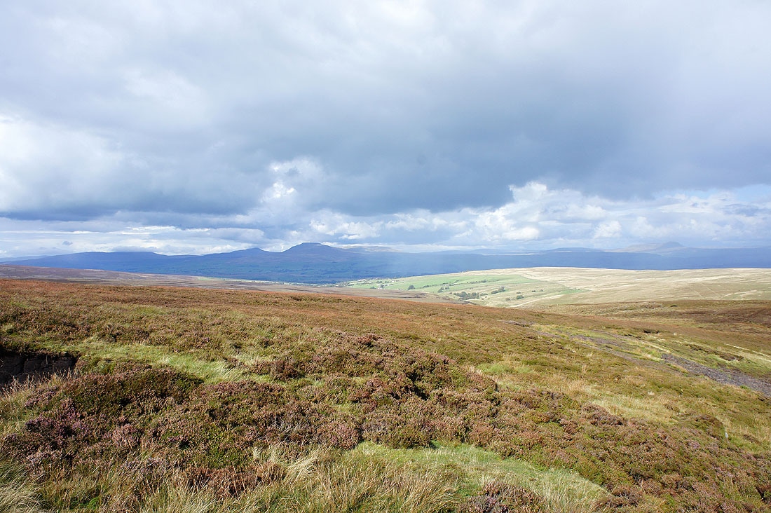
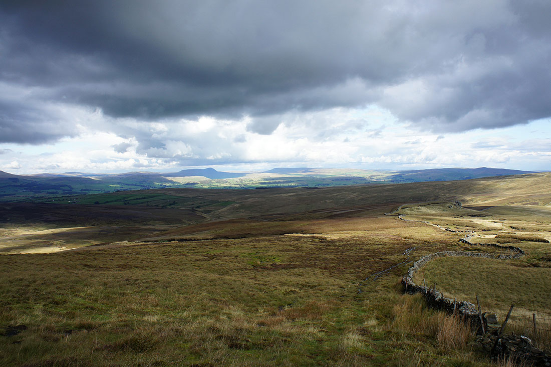
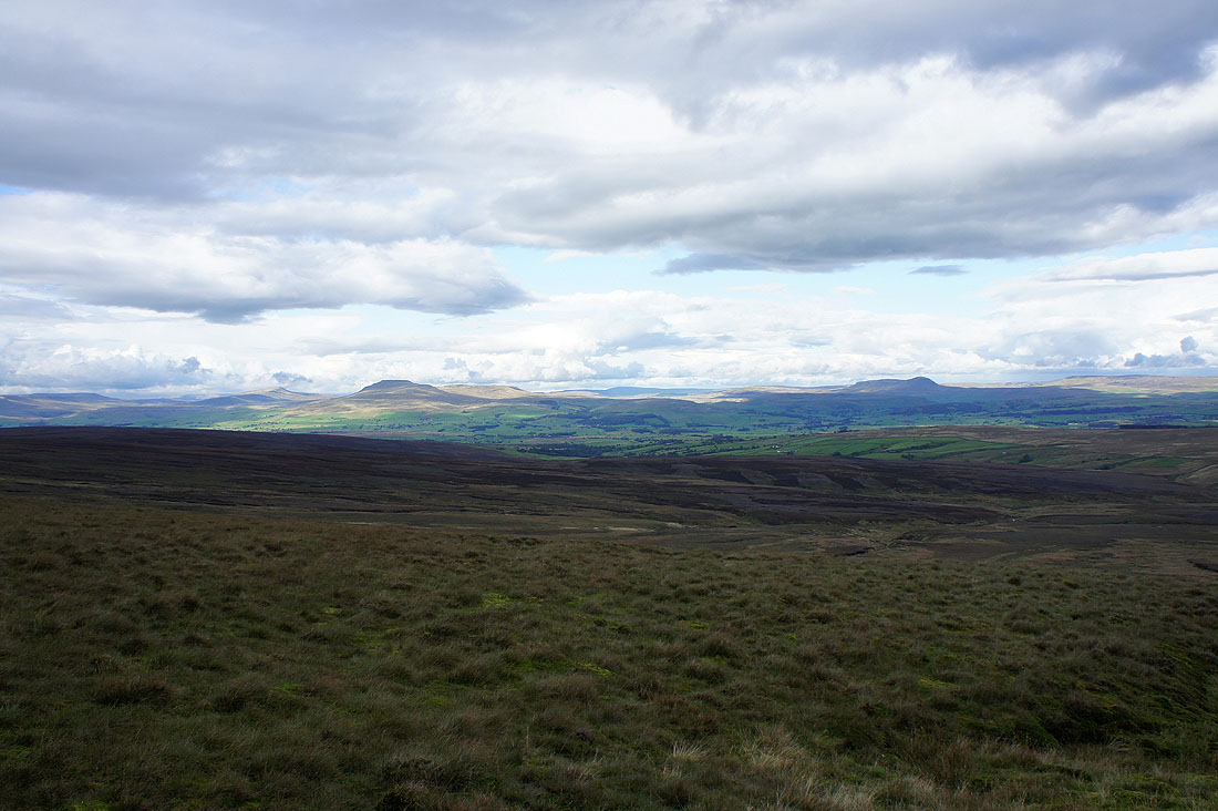
Whernside, Ingleborough and Penyghent now in view from Cold Stone
Whernside, Ingleborough and Penyghent as I head up Great Harlow
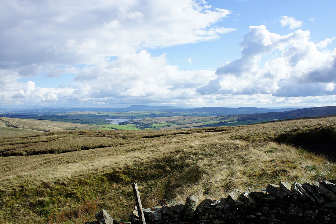
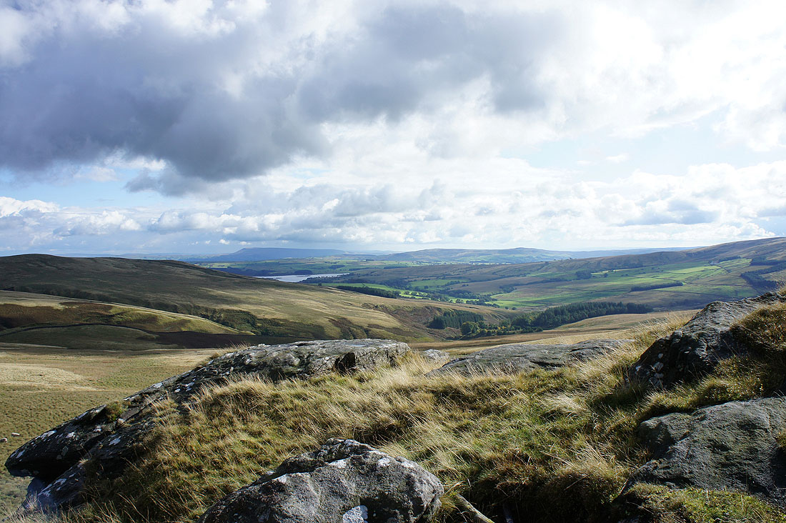
Stocks Reservoir and Pendle Hill
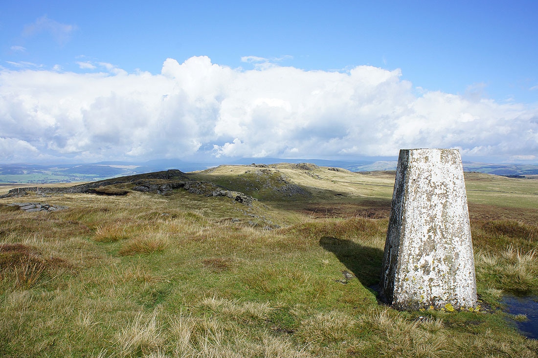
Bowland Knotts
Penyghent and Fountains Fell
Whernside, Ingleborough and Penyghent from the collection of rocks called Ravens Castle on the OS map
Penyghent and Fountains Fell from Ravens Castle
Pendle Hill from Ravens Castle
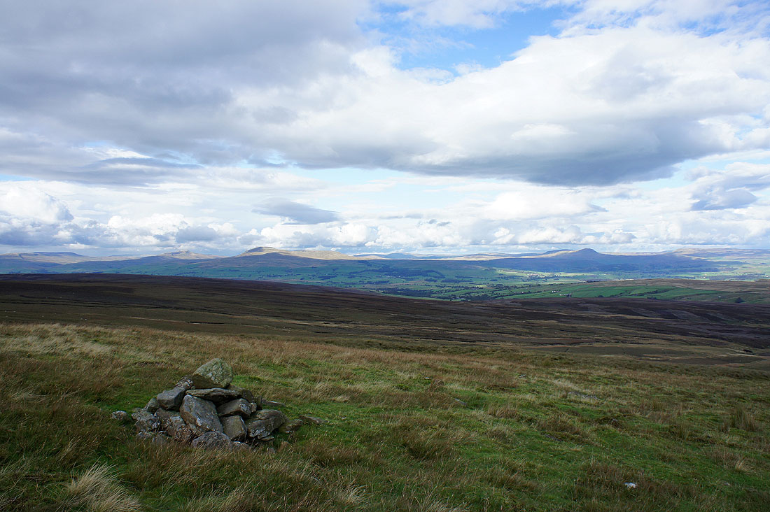
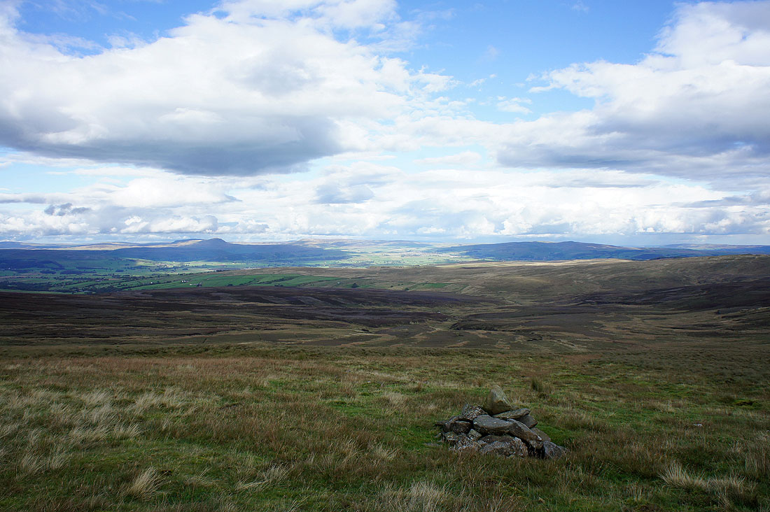
Gragareth, Whernside, Ingleborough and Penyghent from the cairn on Great Harlow
Penyghent and Fountains Fell
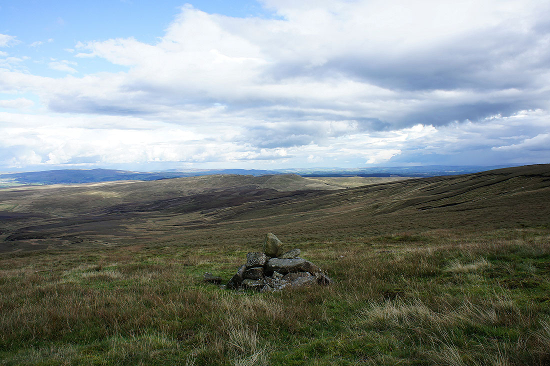
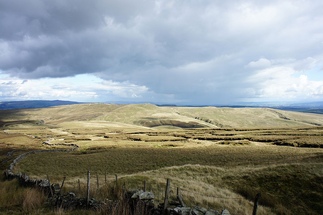
The view back to Bowland Knotts
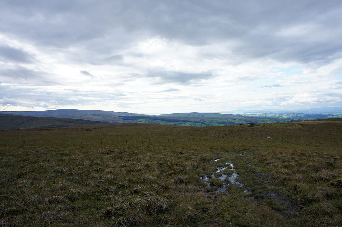
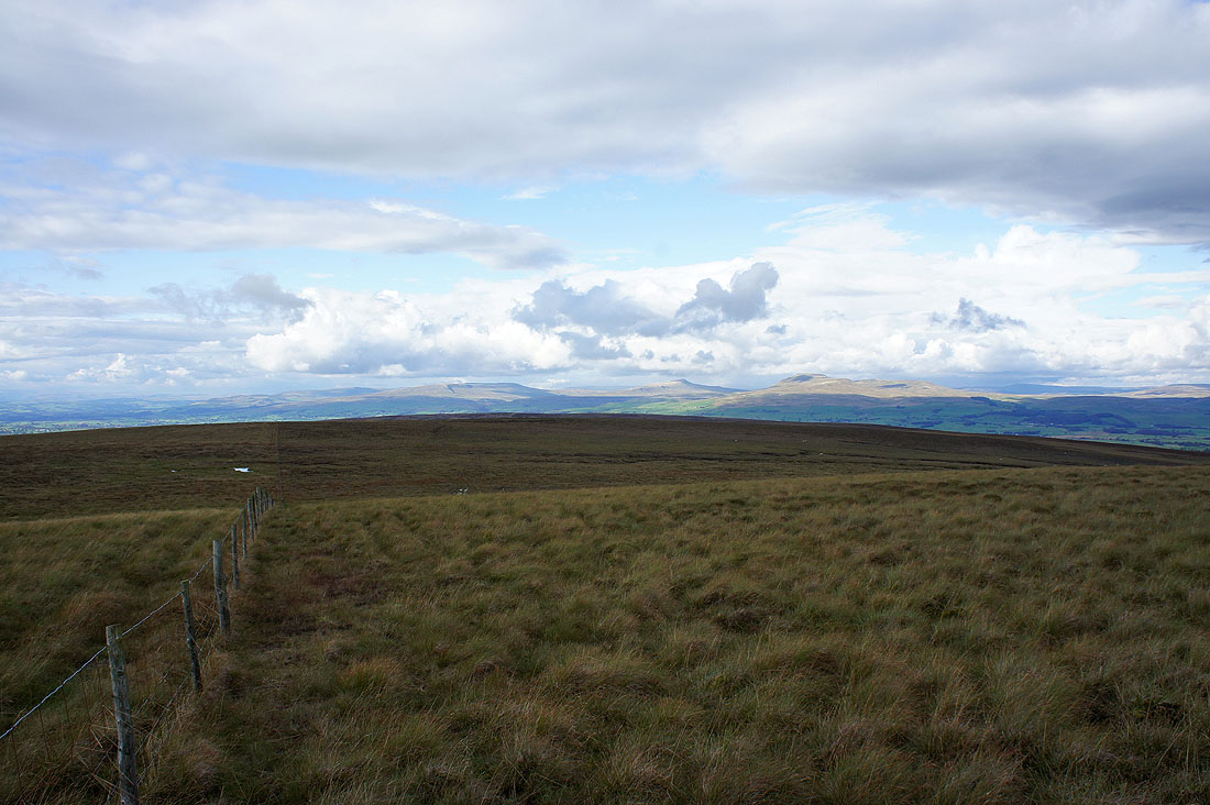
The view west. I think that's Ward's Stone on the left.
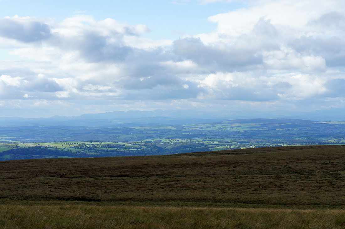
The view towards the Lake District fells
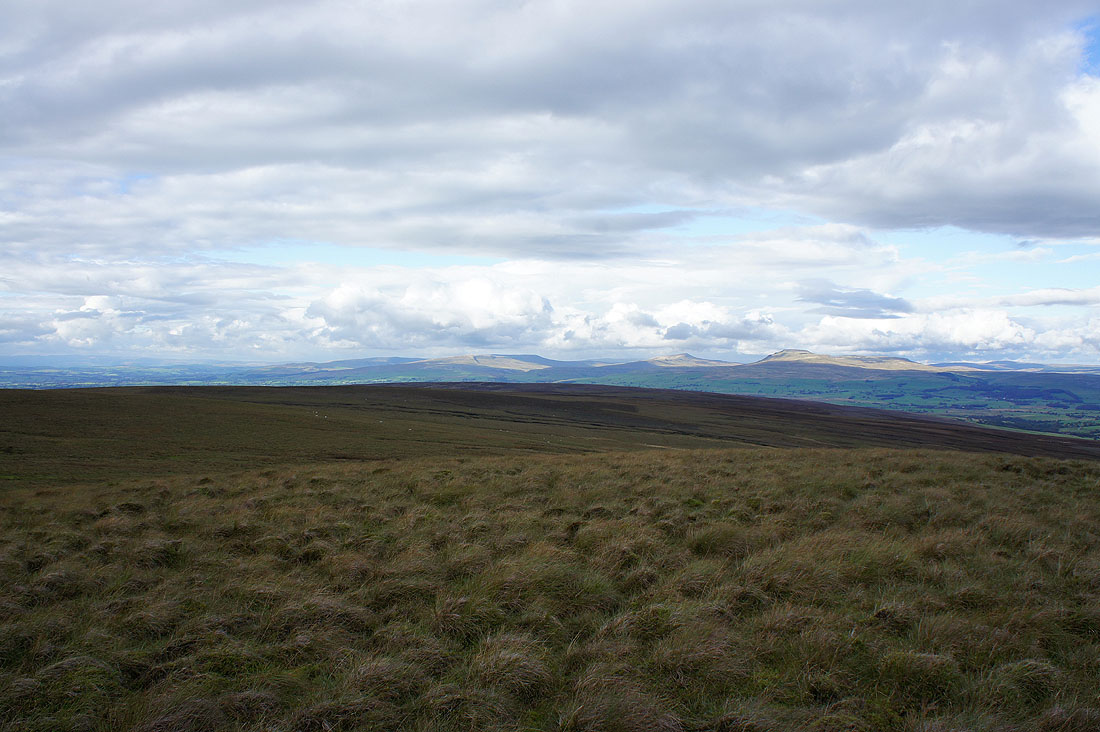
Calf Top, Gragareth, Whernside and Ingleborough
I made my way north along a fence to see if I could get a better view. Calf Top, Gragareth, Whernside and Ingleborough.
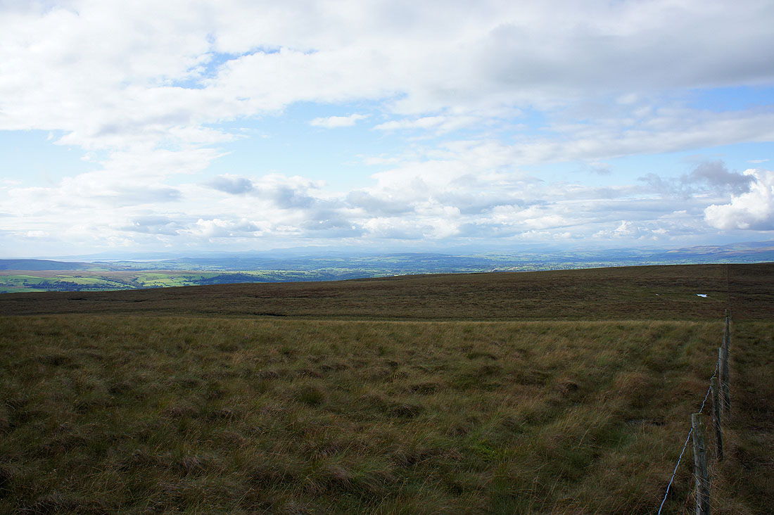
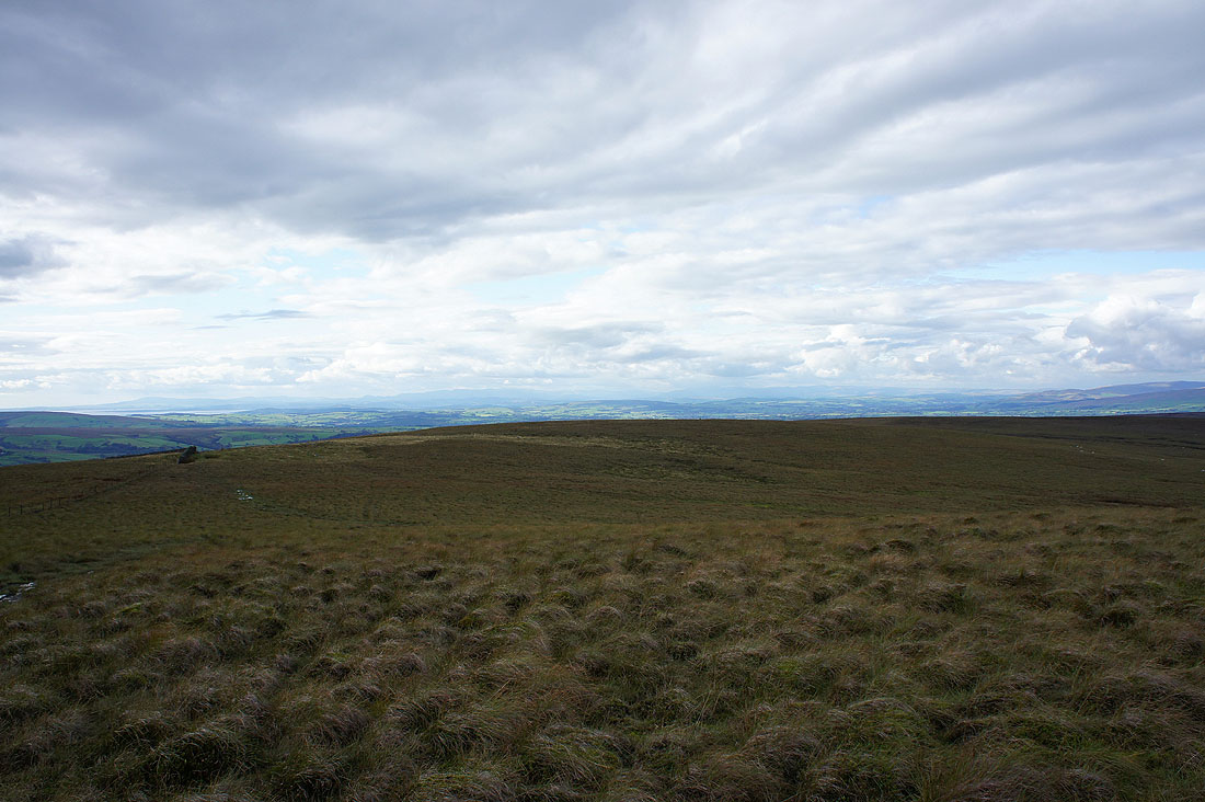
The view northwest towards the Lake District fells
Zooming in
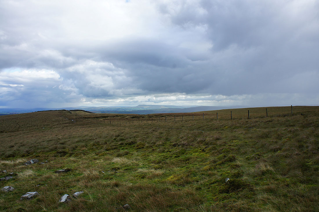
A glimpse of Morecambe Bay
At the road between Slaidburn and High Bentham
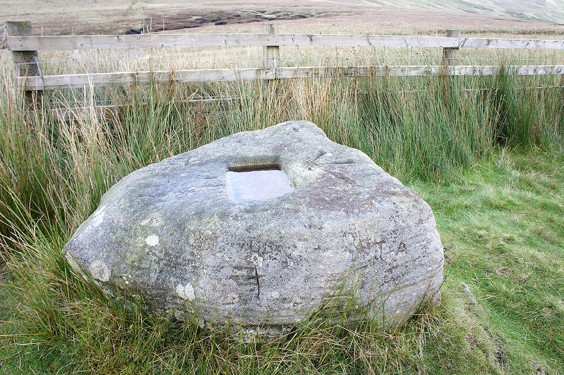
The stone that the Cross of Greet formerly stood in
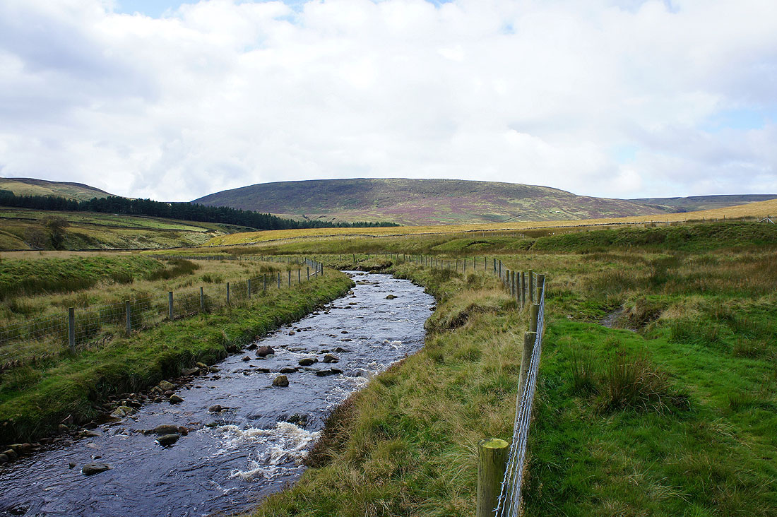
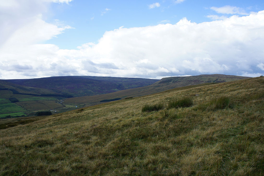
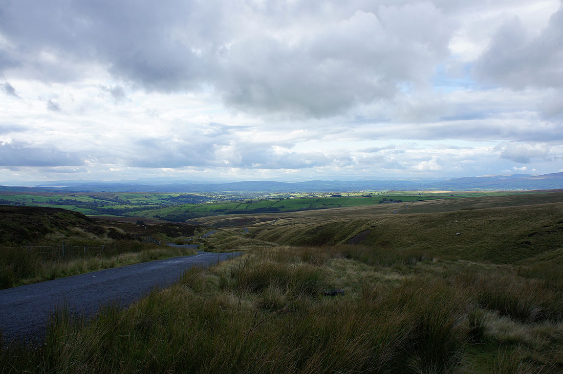
Road walking. The infant River Hodder is in the valley on the right and has its source at the top of the road.
The infant River Hodder back at the Cross of Greet bridge
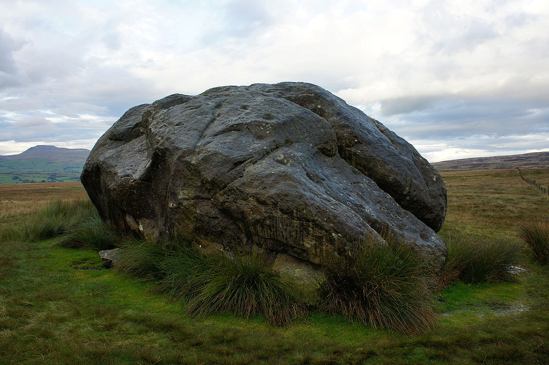
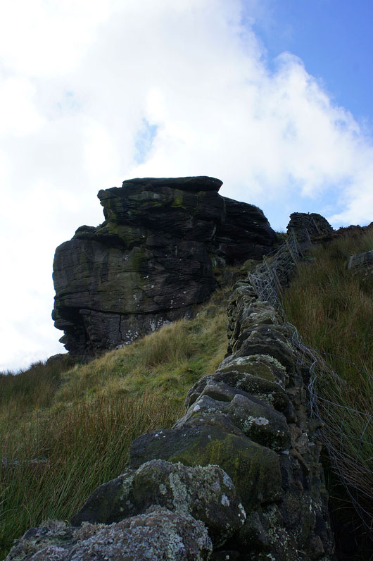
The Great Stone of Fourstones. A glacial erratic. This huge boulder is in plain view to the west of the road as it heads down towards High Bentham. There is a small layby on the road with a path leading up to it with a couple of information boards near the road explaining the local geology and a bit about the stone. There are a couple of myths I've found out about the stone. One, is that the devil dropped it on his way to build the Devil's Bridge at Kirkby Lonsdale and the other is that the Irish giant Finn MacCool flung it across the Irish Sea in a fit of rage.
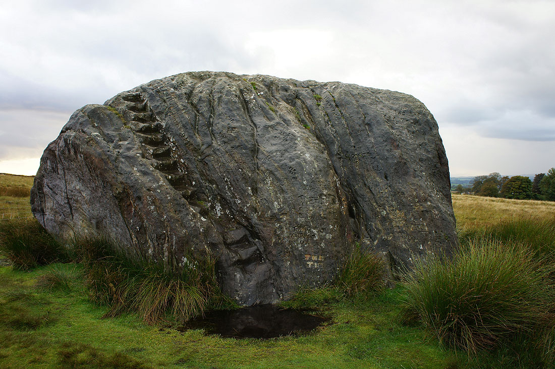
Steps leading to the top which I didn't try using. Far too damp and greasy.
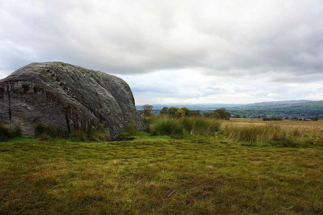
Views of the surrounding countryside and across to Yorkshire's Three Peaks....