18th September 2012 - Pots and Pans
Walk Details
Distance walked: 4.4 miles
Total ascent: 967 ft
OS map used: OL1 - The Peak District, Dark Peak area
Time taken: 3 hrs
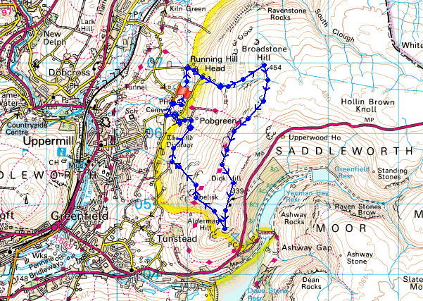
Route description: Pobgreen-Oldham Way-Running Hill Head-Broadstone Clough-Broadstone Hill-Slades Rocks-Shaw Rocks-Upper Wood Edge-Alderman's Hill-Kinder Stones-Primrose Hill-Pobgreen
A relatively short afternoon walk on the moors above Saddleworth.
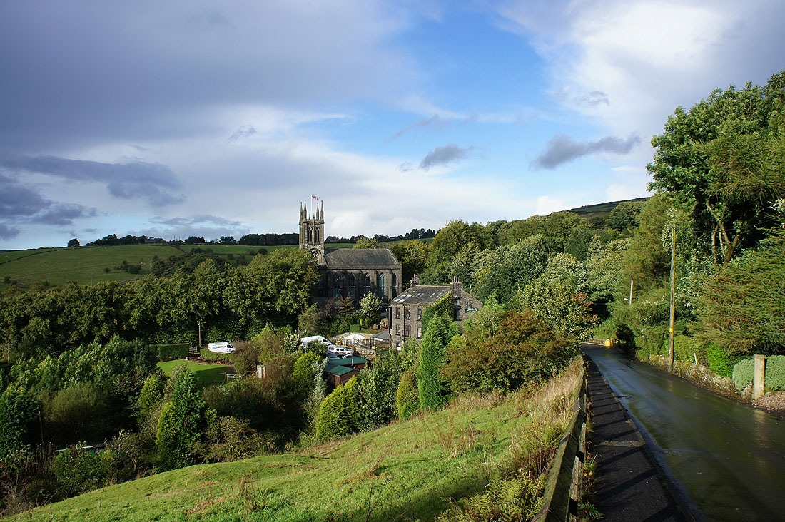
I parked outside St Chad's church in Pobgreen and took the overgrown track immediately opposite. I soon left this to follow the Oldham Way across a few fields to a lane. I then turned right and followed the lane uphill to a track that continues uphill to access land. More walking uphill brought me to the trig point on Broadstone Hill. I then walked south along the crest of the moors visiting the various gritstone outcrops on the way until I reached the war memorial. I then made my way down across the moors to Pobgreen.
Route map
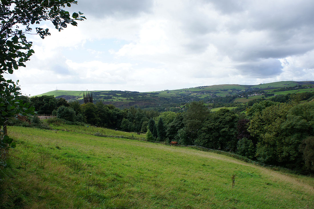
I started this walk from Saddleworth parish church, the tower of which can be seen on the left. I'm following the course of the Oldham Way across a few fields.
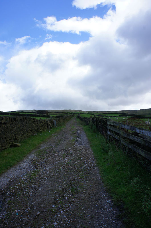
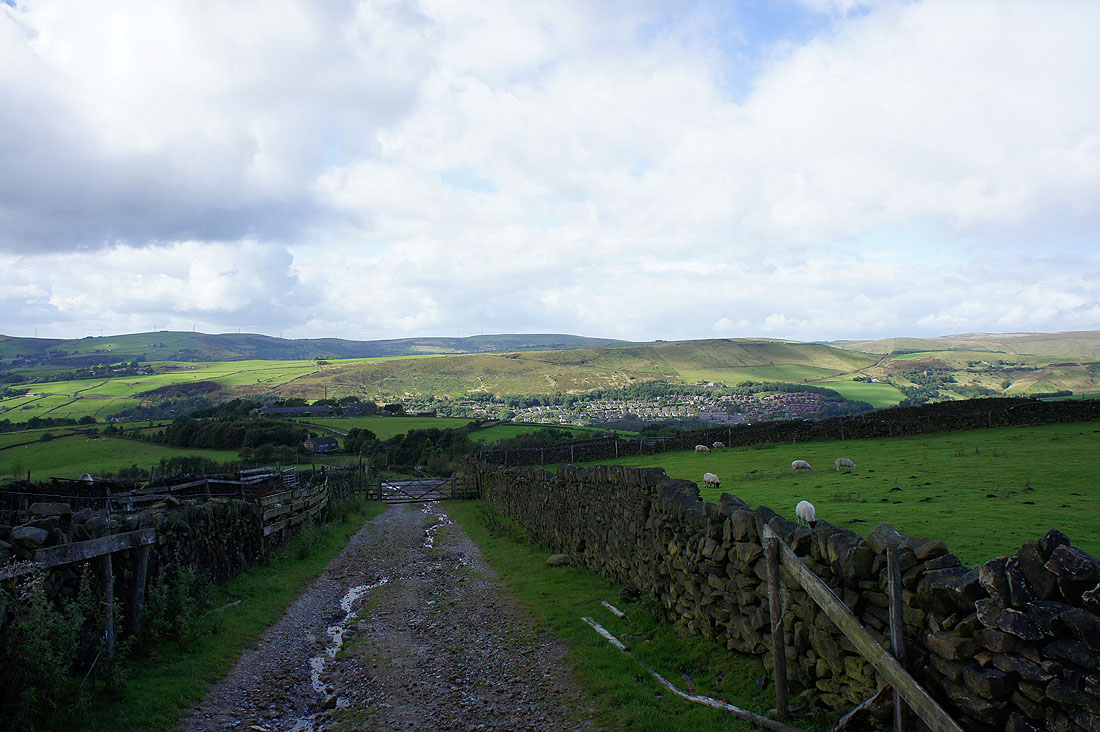
The track as it heads uphill towards access land and Broadstone Hill
and turning round the village of Diggle below
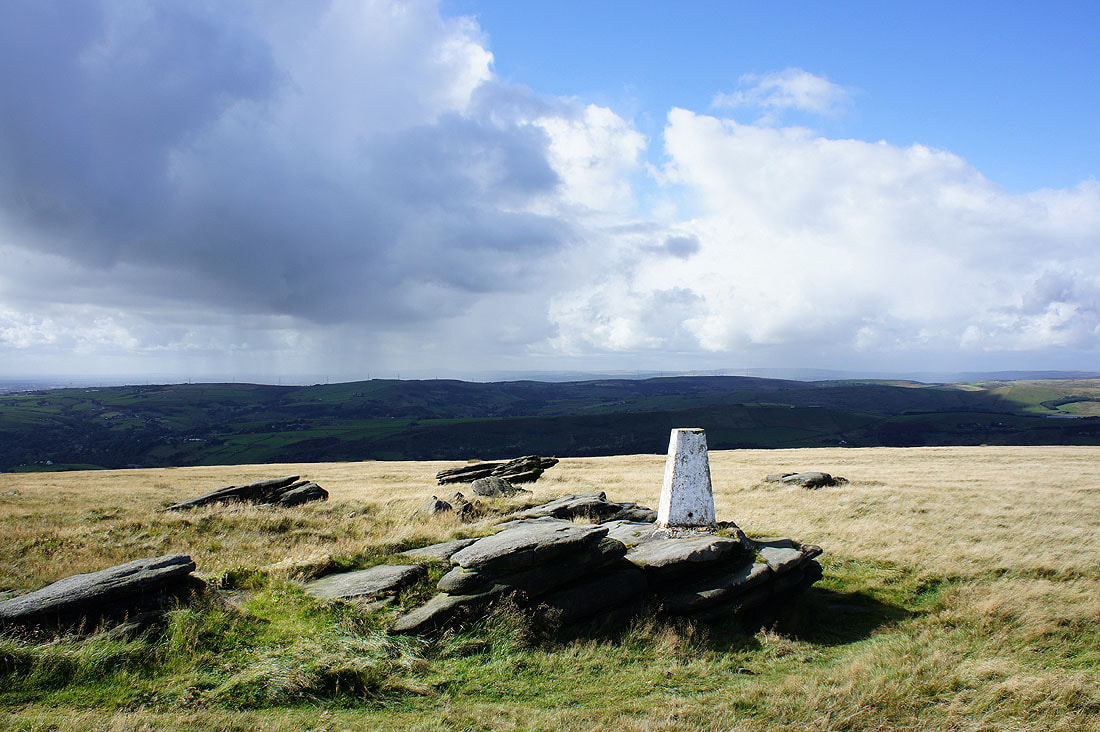
Views from the trig point on Broadstone Hill. Looking west at the approaching showers.
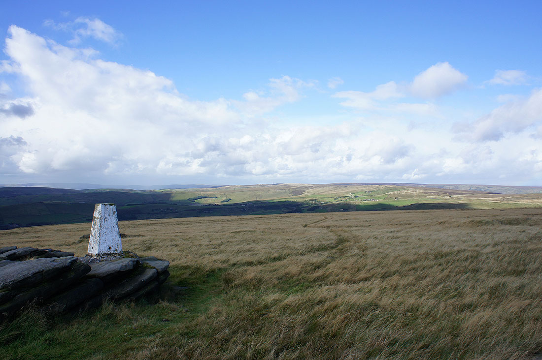
The view north to White Hill, Millstone Edge and the hills of the Pennine watershed
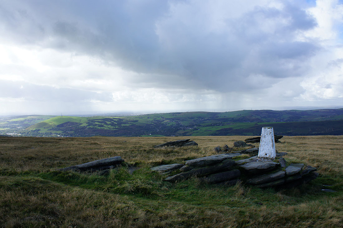
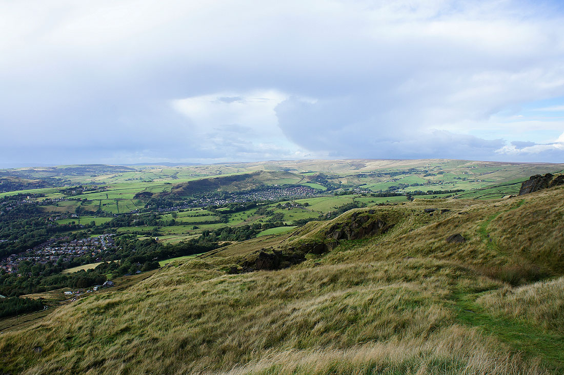
and looking southwest, the villages of Saddleworth are in the valley below
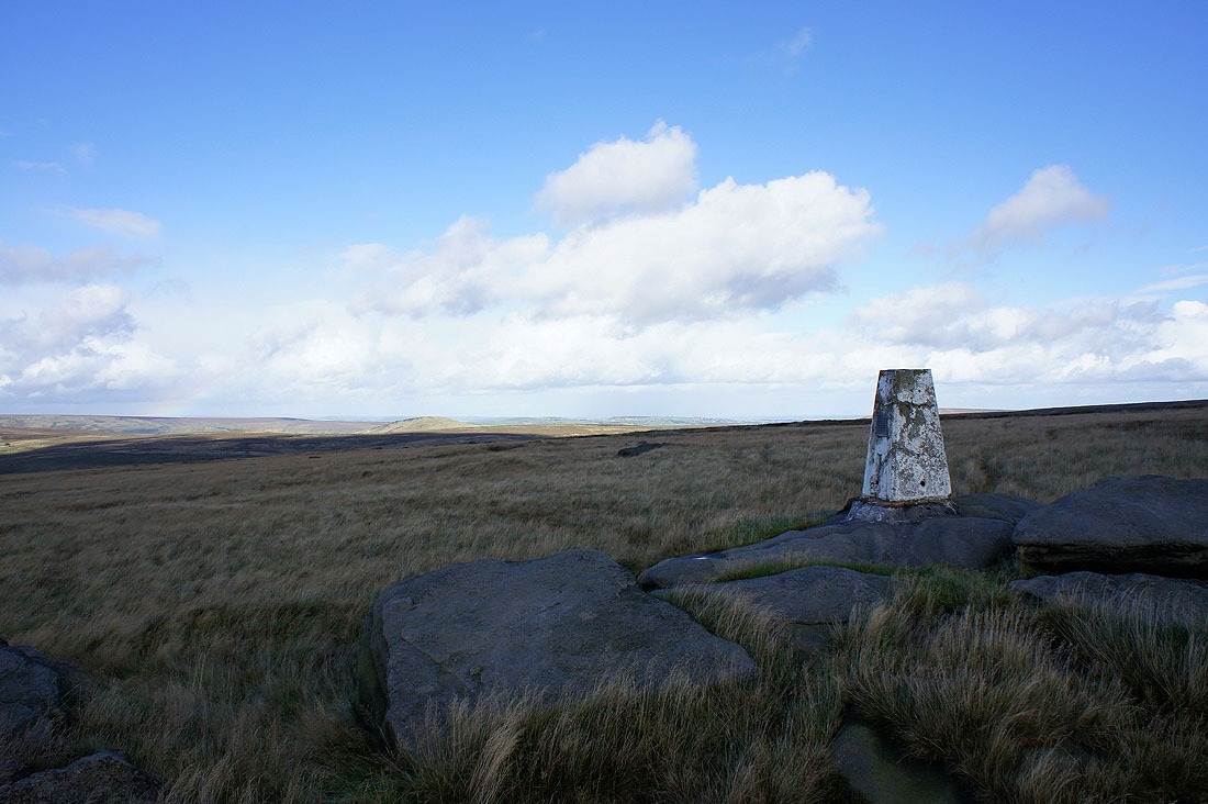
and finally the view to the northeast. Now to walk along the crest of the hill.
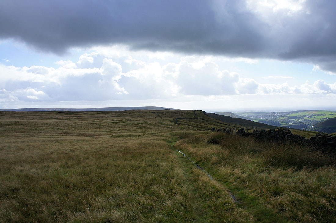
Heading south along the crest of the hill
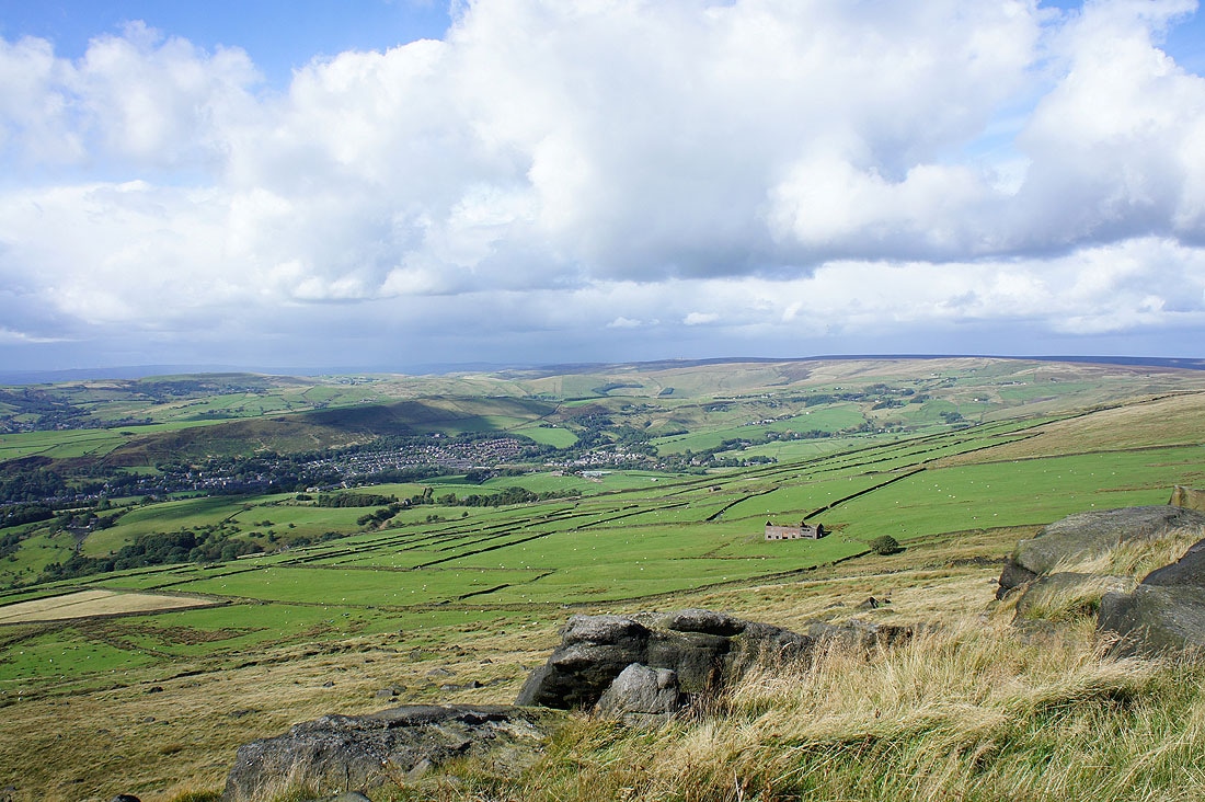
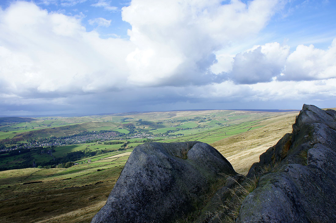
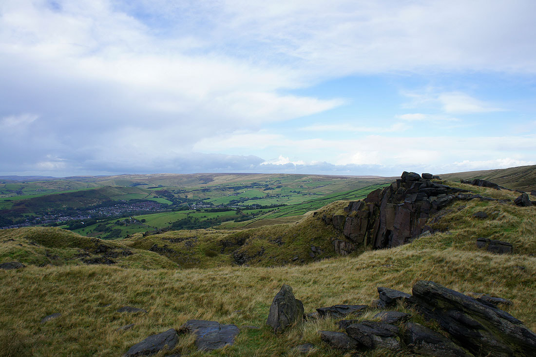
The view down into Saddleworth from Slades Rocks
and again but from Shaw Rocks
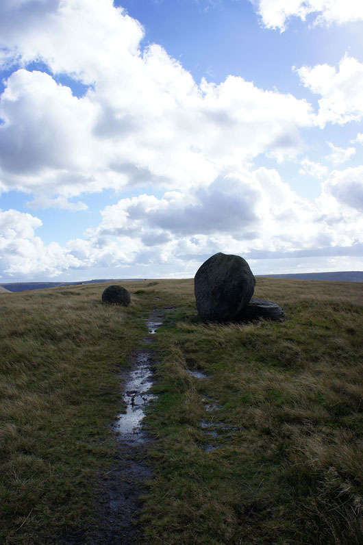
Passing Sugar Loaf as I cross to the other side of the hill
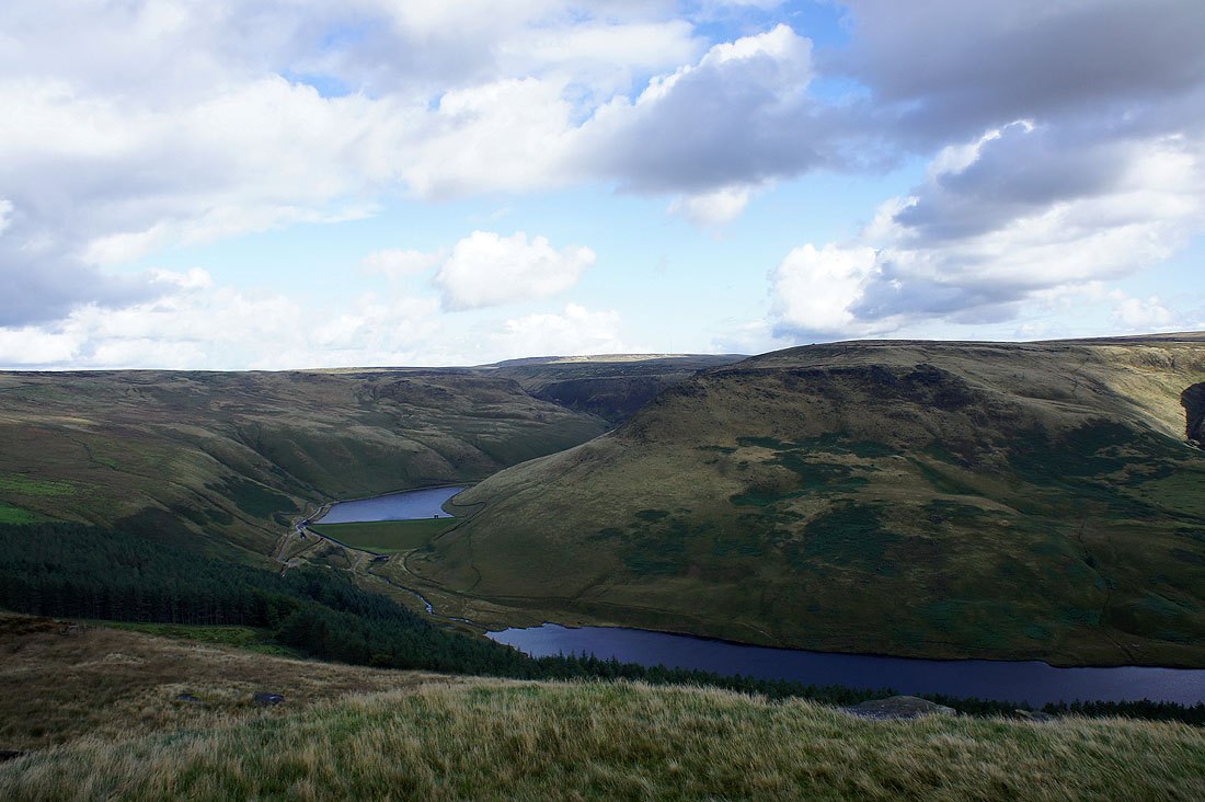
On Upper Wood Edge looking across to Greenfield Reservoir, Yeoman Hey Reservoir and Ashway Rocks
Dean Rocks and Great Dove Stone Rocks
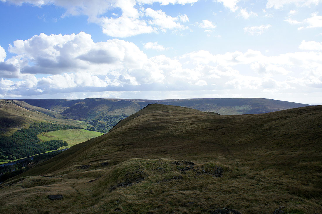
Alderman's Hill, my next port of call ahead
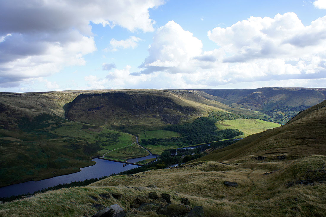
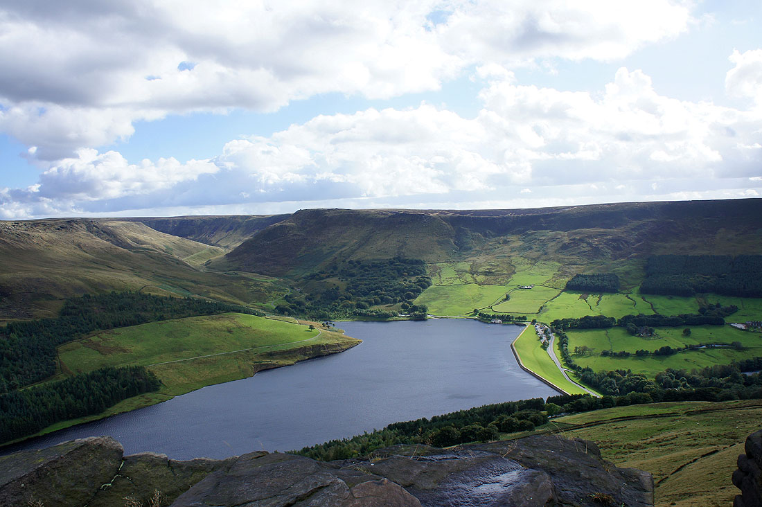
On the edge of Alderman's Hill. Yeoman Hey Reservoir below.
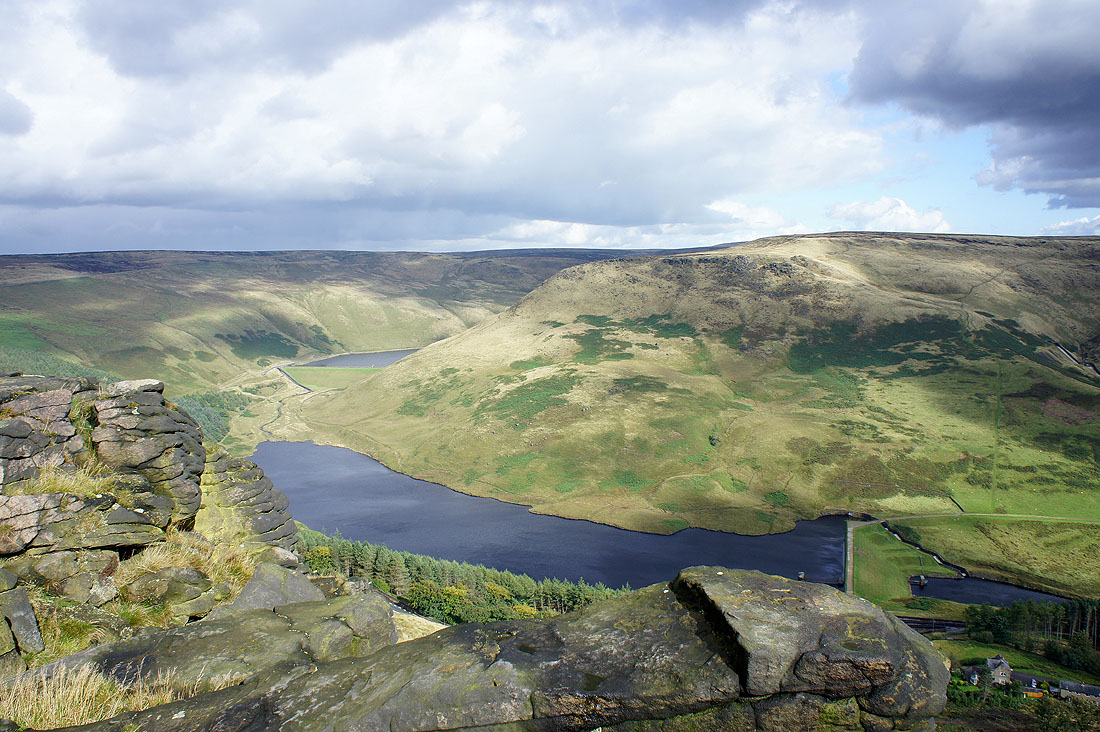
Dove Stone Reservoir. The valley of Chew Brook heads up into the moors on the left.
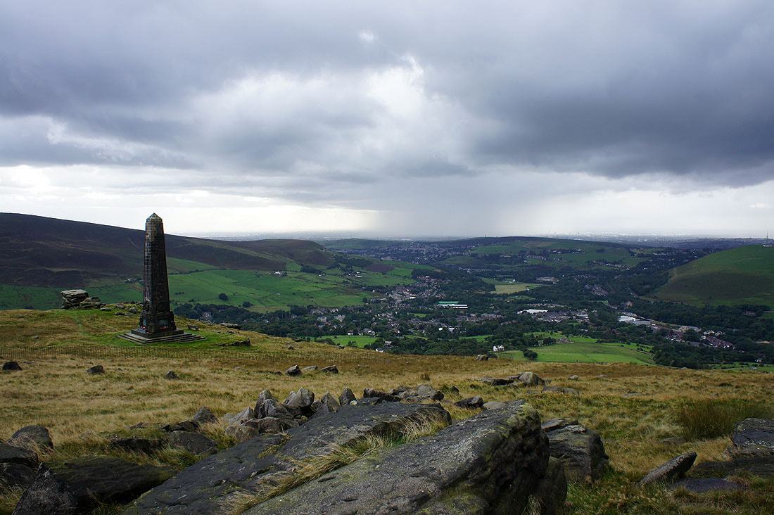
I've made my way across the hill to Kinder Stones, just above the war memorial. The village of Greenfield is below. There's a heavy shower about to reach me so I'll sit it out in the lee of the memorial.
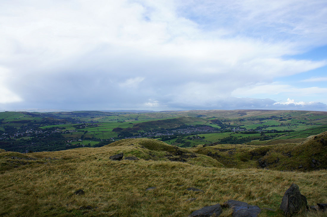
The shower has cleared. The view to the west from Kinder Stones. That's the outline of Winter Hill in the far distance on the left.
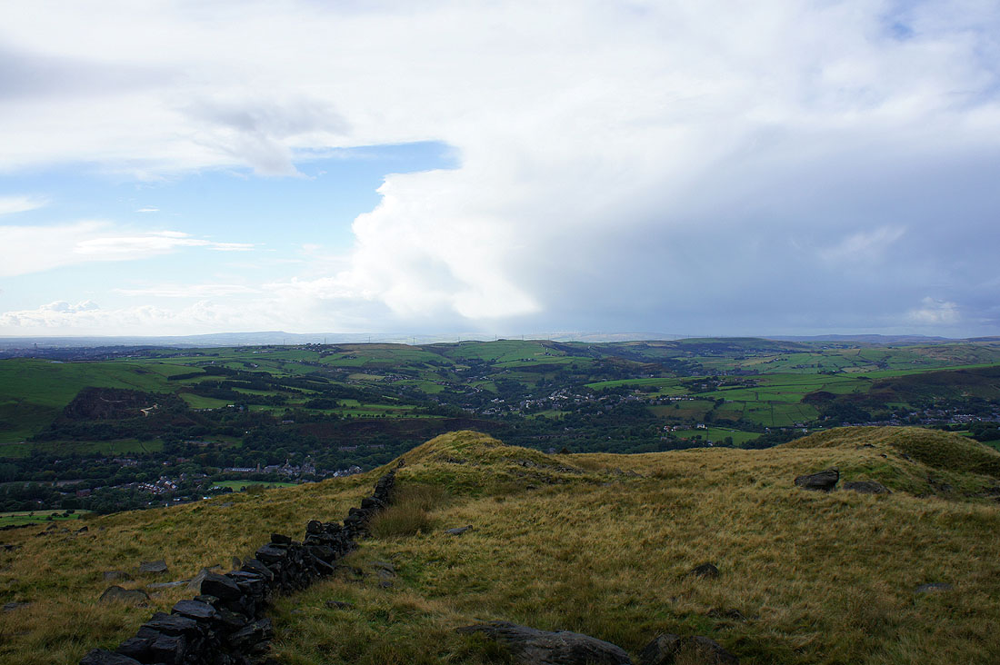
Big shower cloud to the northwest
Diggle and the moorland of Millstone Edge
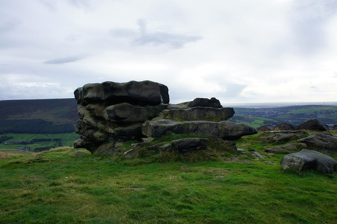
The Pots & Pans Stone
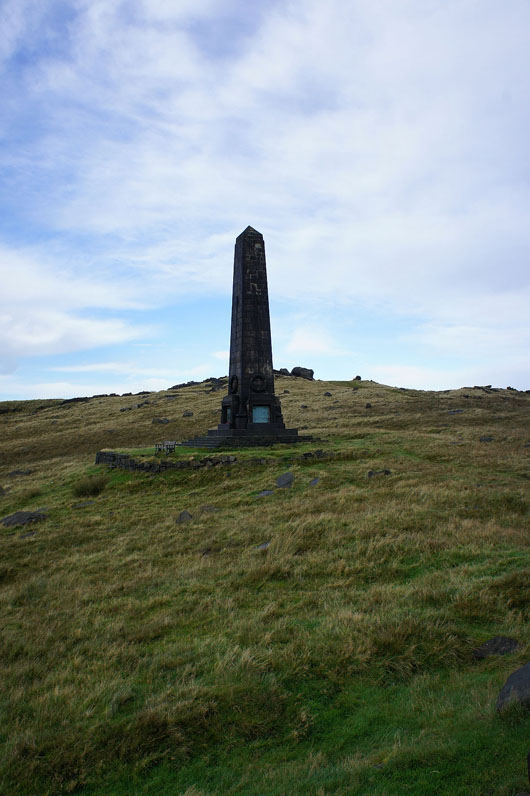
The war memorial for Saddleworth
Heading back down to Pobgreen
Almost back at the Saddleworth parish church of St Chad
